



Skaftung – To the sea!

The route starts at Högklubbens former pilot station. When you paddle south, you arrive at Västra ändan. Through Idgrund's canal you come to the sea. At Idgrundsgrynnan you can have a pause.
To come back...
The route starts at Högklubbens former pilot station. When you paddle south, you arrive at Västra ändan. Through Idgrund's canal you come to the sea. At Idgrundsgrynnan you can have a pause.
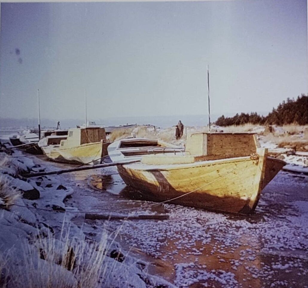
To come back to Högklubben, you can paddle in the archipelago or at the sea. In the archipelago you are going to paddle past Rödberget and Trutklobbarna. A scary story based on a happening on Trutklobban is told. The story is attached to the photo of Trutklobban, click the info-icon and then "More details" and you will find the story.
At the sea is a vantage. It is really worth it to land there and look at the view!
All texts: Inga-Lill Till

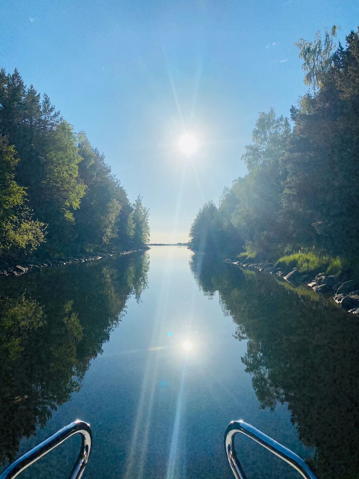
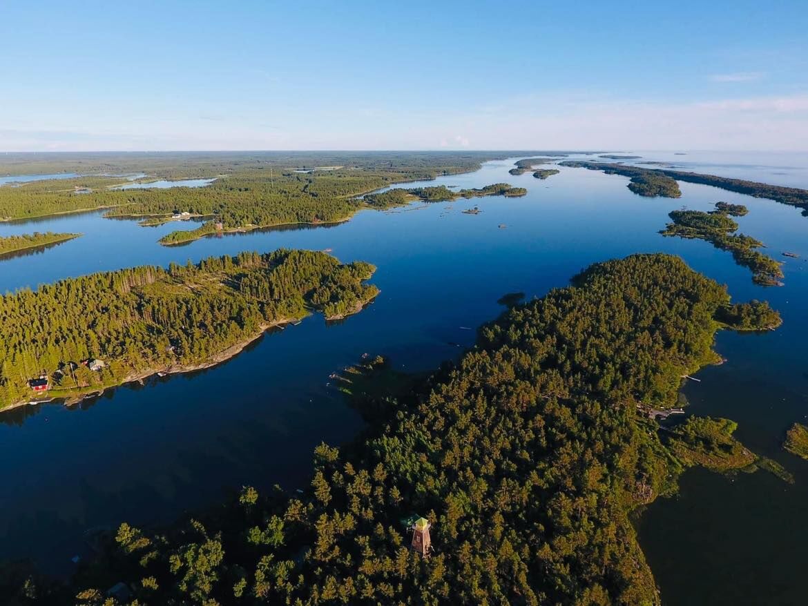
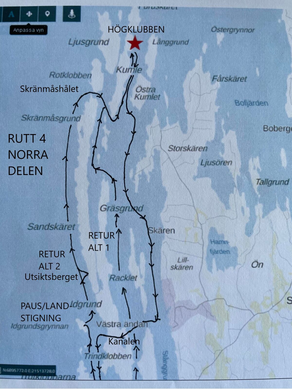
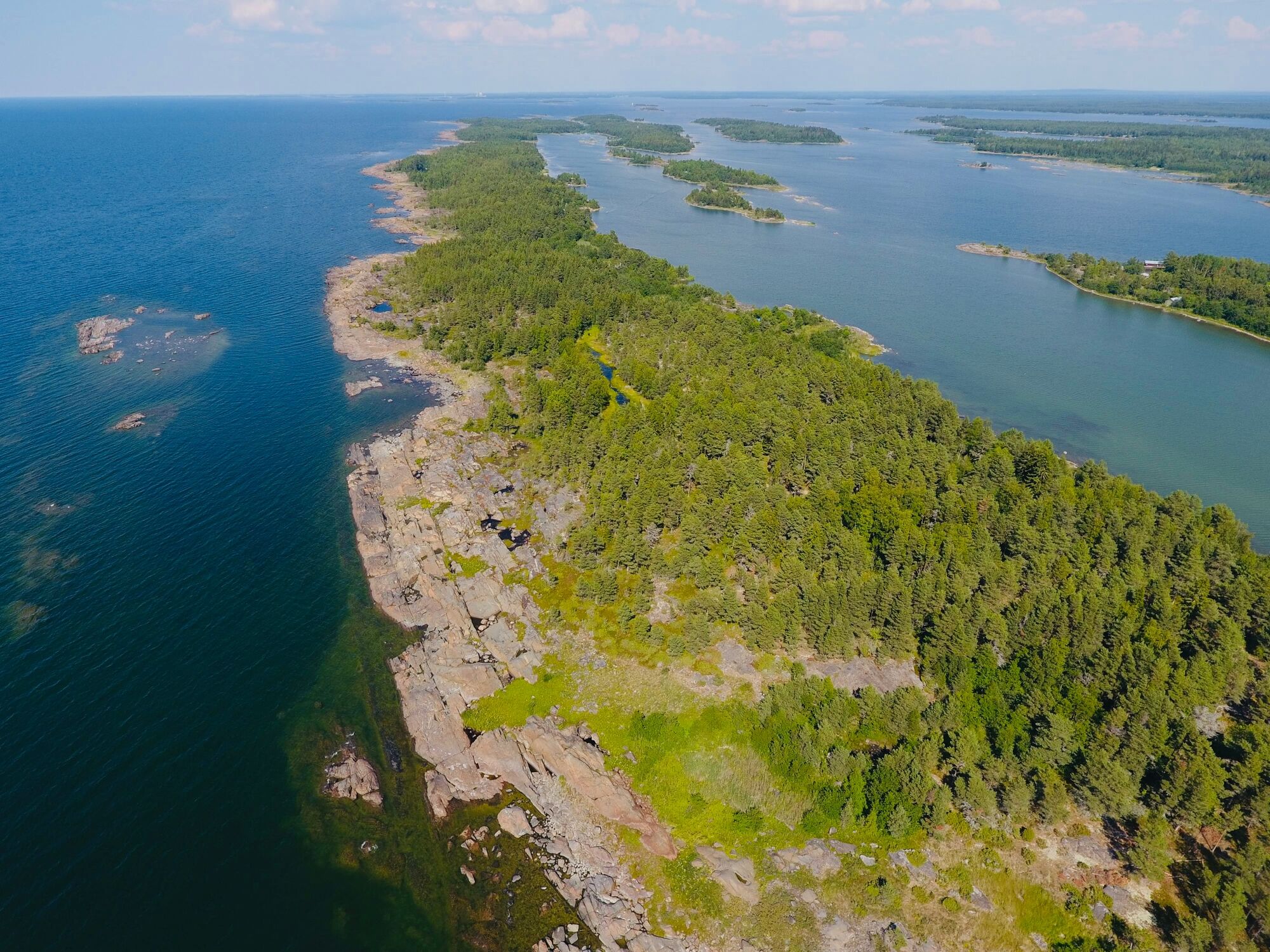
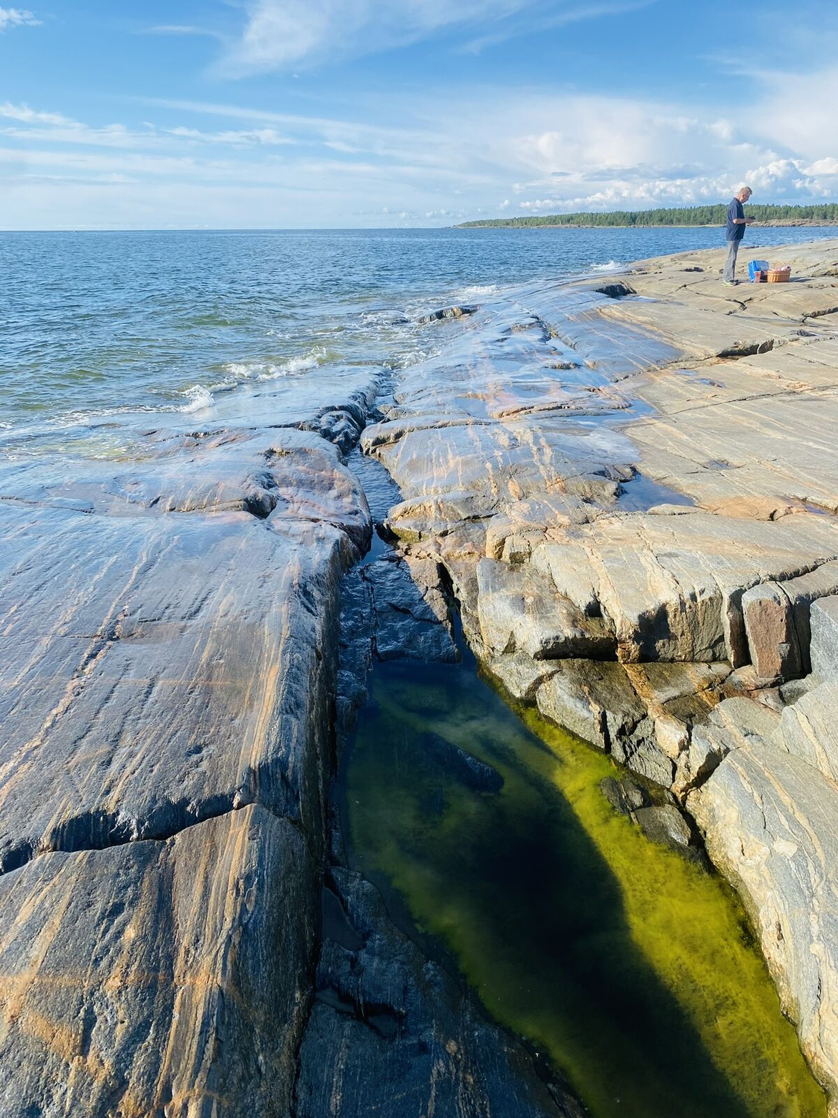
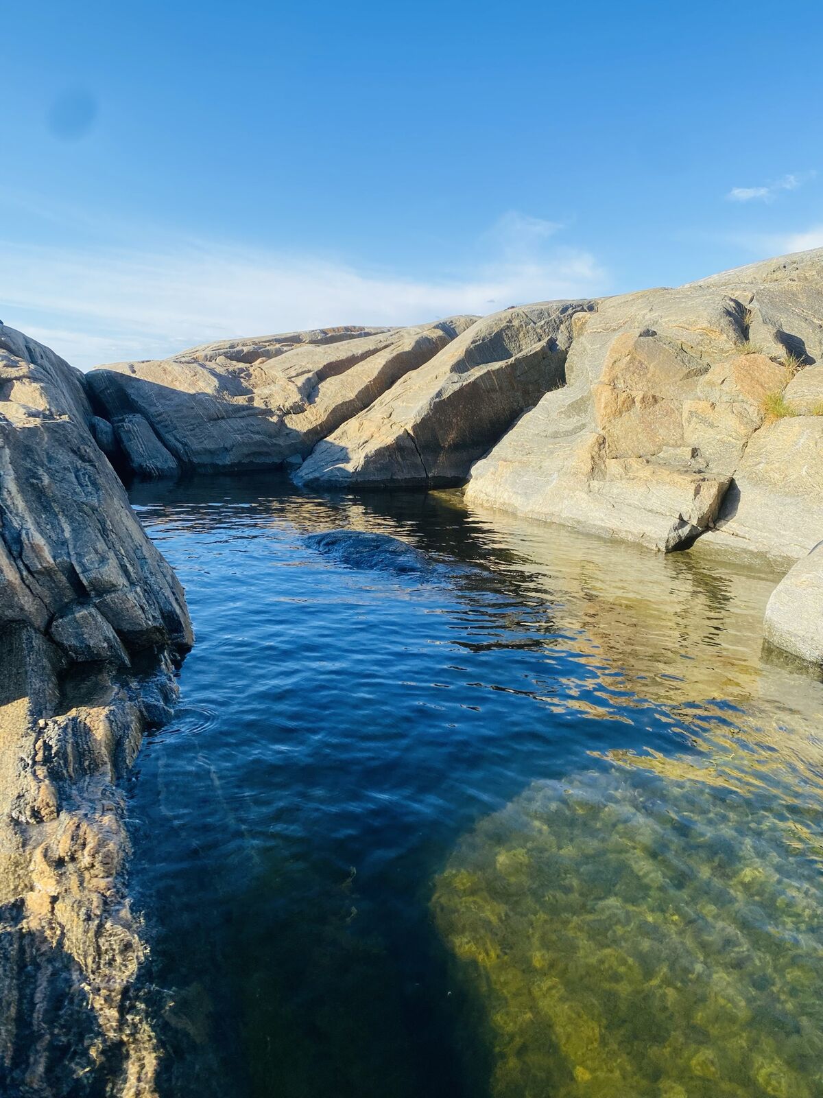
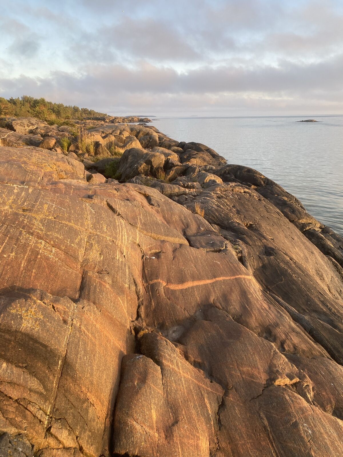
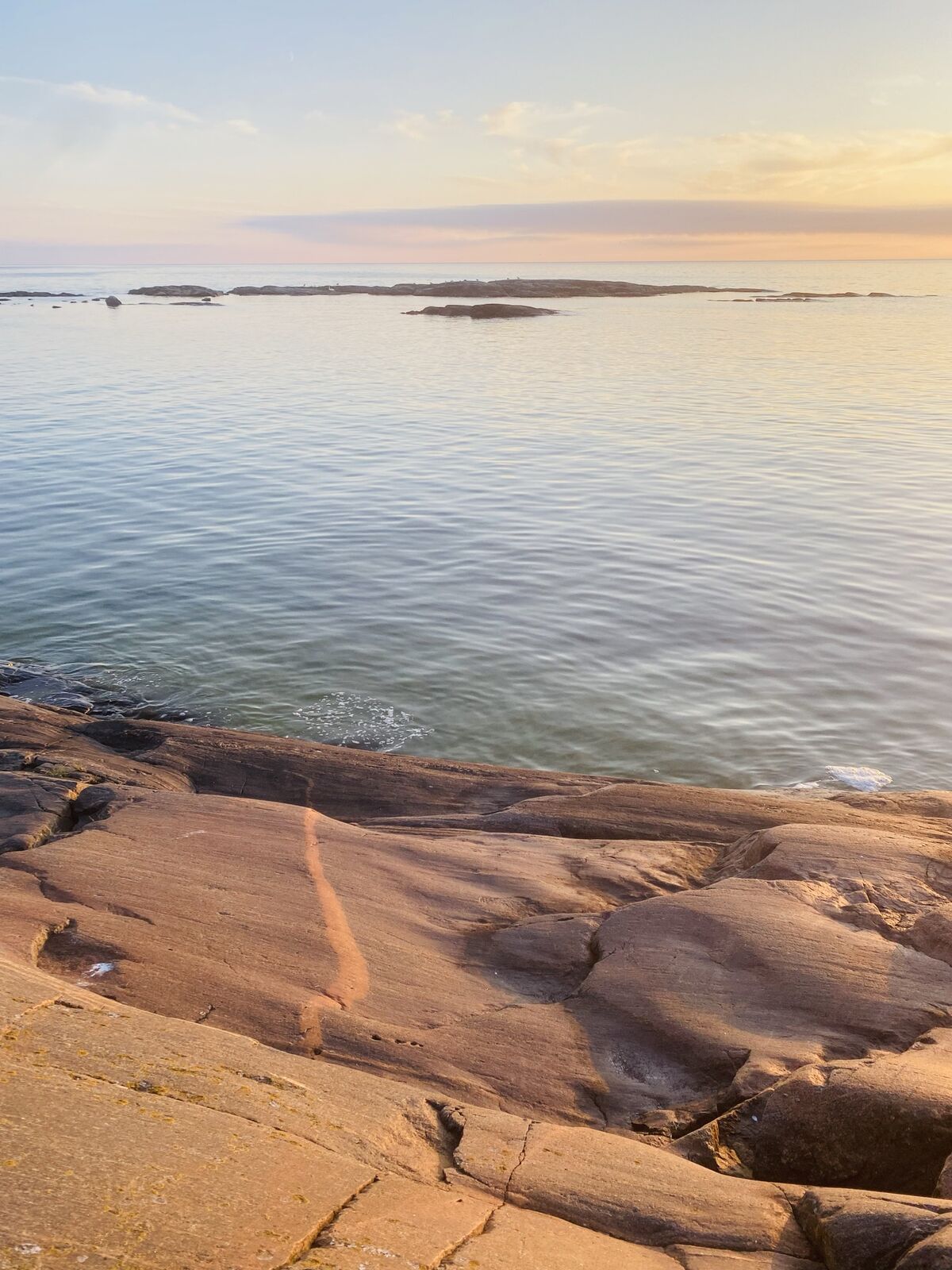
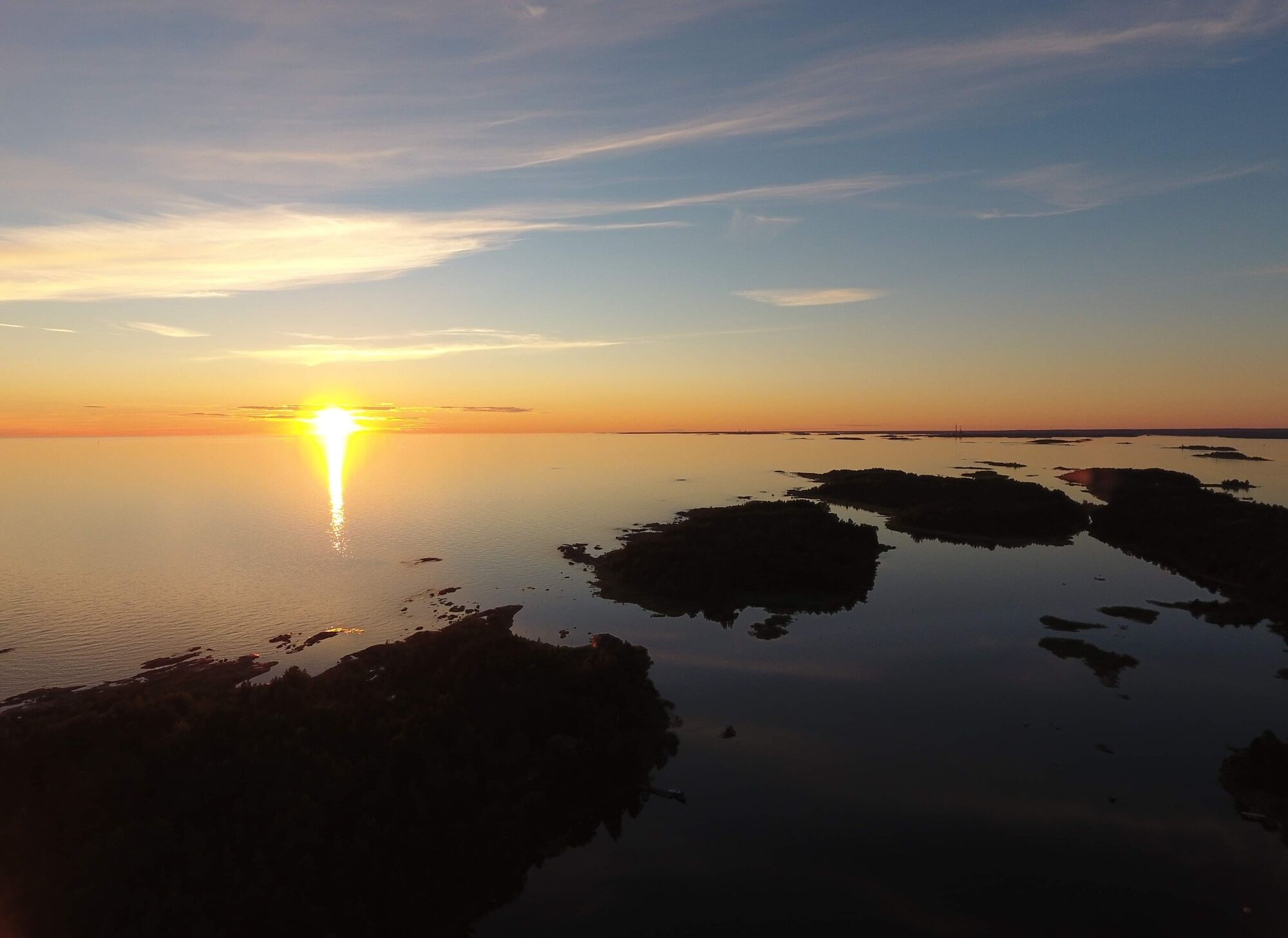
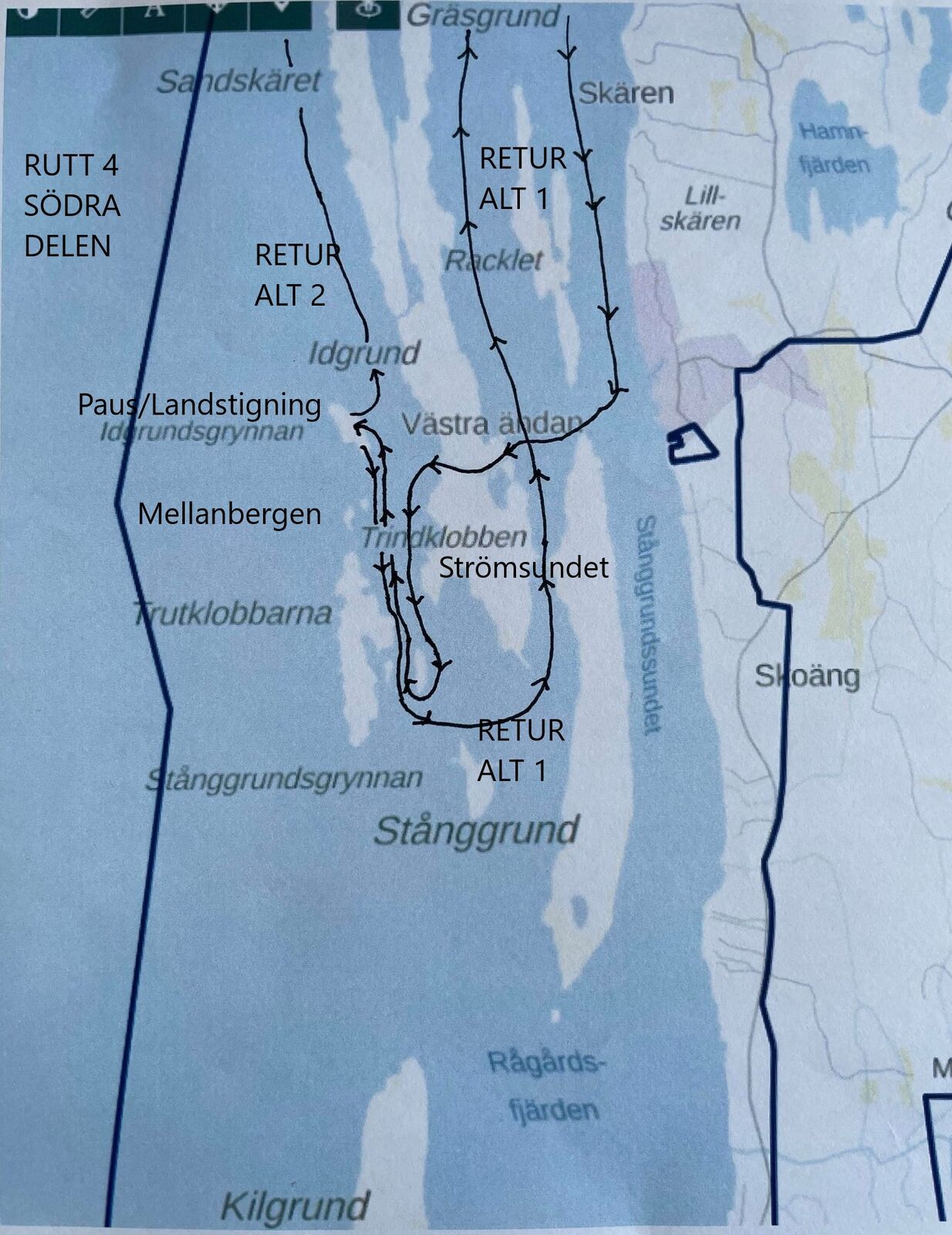
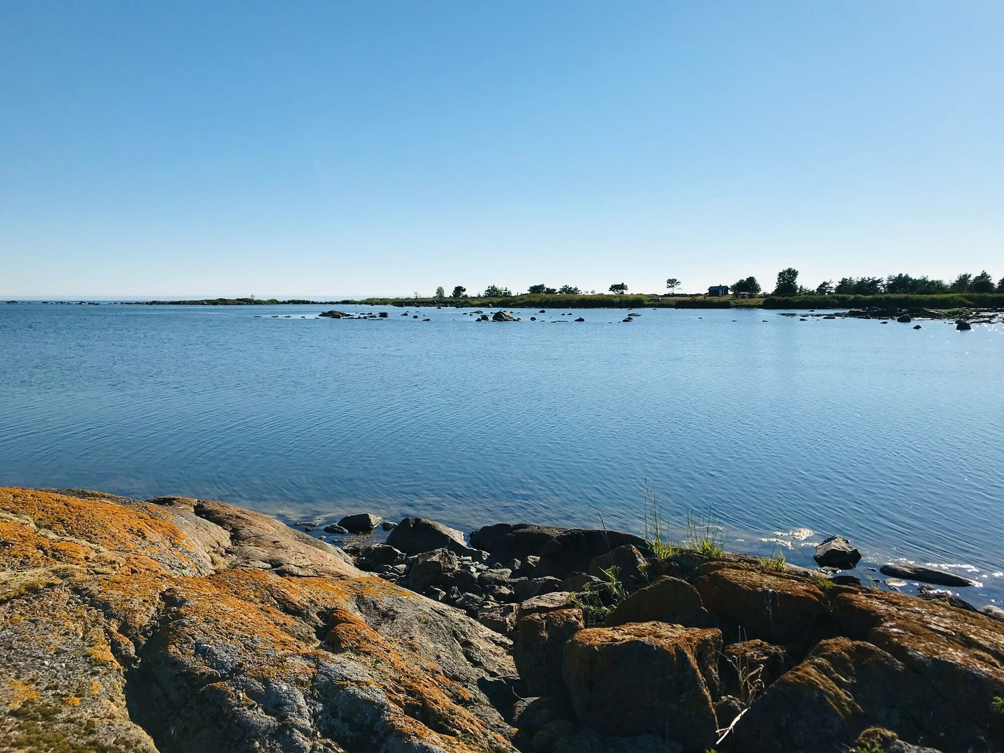
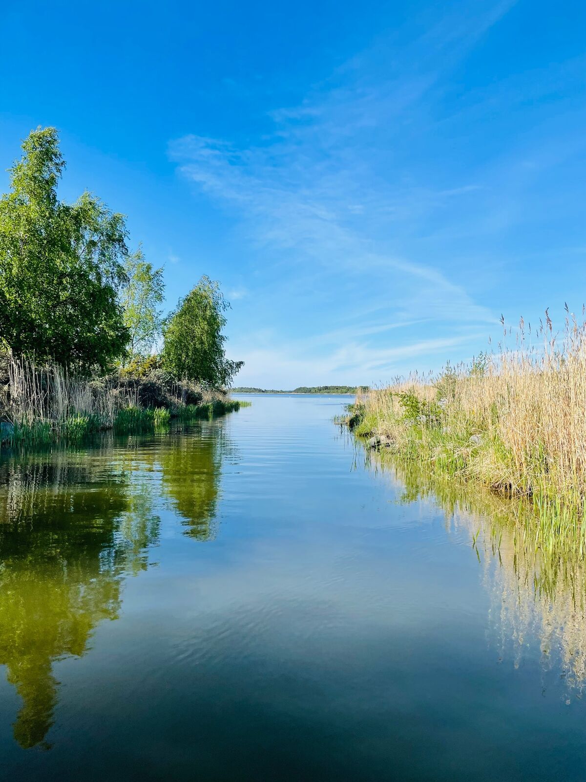
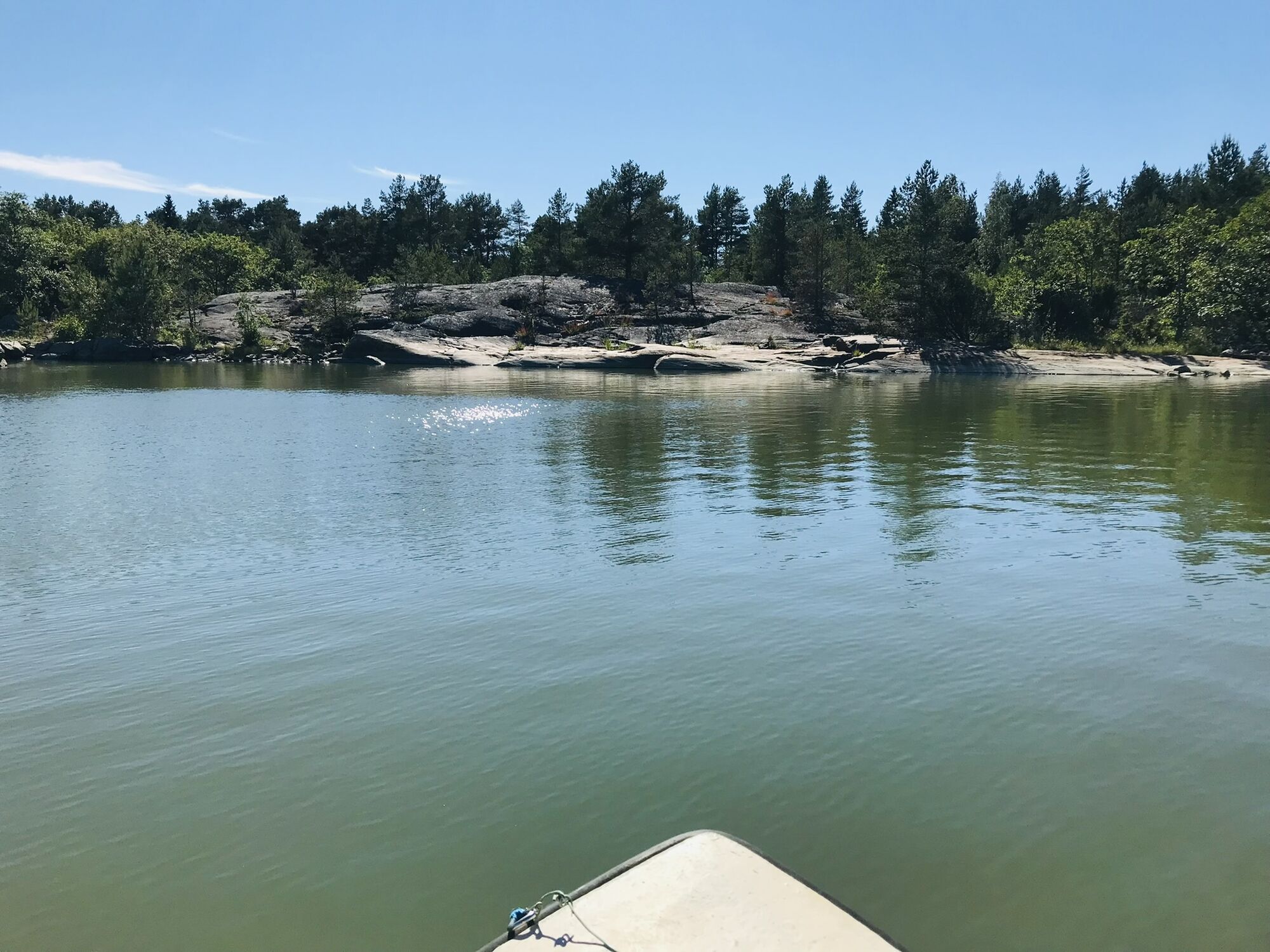
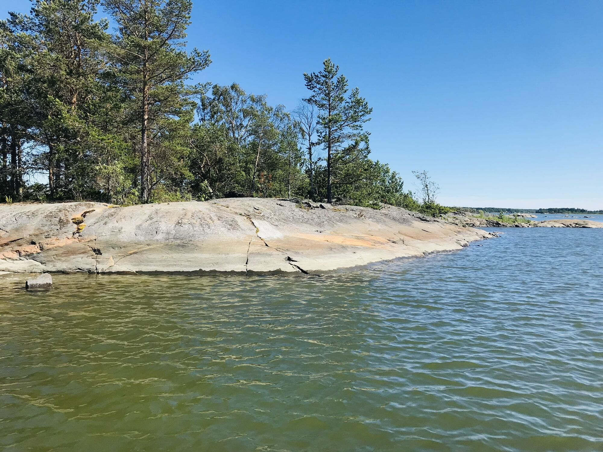

The route starts at the base in Högklubben. Paddle towards south for around 5 kilometers. Pass Racklet from its eastern side. Then turn towards west. Through Idgrund's canal you will arrive to the open sea. The planned route goes towards south, to the islands Rödberget and Trutklobbarna. If you want to, you can land at these islands. Then paddle back north to Idgrundsgrynnan.
To get back to Högklubben, paddle south and pass the islands Rödberget and Trutklobbarna. Paddle around Trinklobbens southern cape. The trip continues by entering the small strait between Trindklobben and Stånggrund. (If travelling by boat, be extra careful not to hit rocks under the water here.) Then the route keeps going north along Idgrund's, Sandskär's and Gräsgrund's eastern side. At Gräsgrund's north cape head northwest and paddle along Skränmåsgrund's eastern side to Rotklobben's bay. Paddle around Kumlet's southern cape and then north, between Kumlet and Östra Kumlet. This is the strait which leads to Högklubben.
You can also head towards north after the pause at Idgrundsgrynnan. In that case, paddle north for around 5 kilometers. On your eastern side during this leg there are three islands, which have become one: Idgrund, Sandskär and Skränmåsgrund. This is at the open sea, but the route follows the coast. You can land at a vantage (coordinates: 62.126806, 21.290667). At Skränmåsgrund's northern cape the route enters to Rotklobben's bay. After that paddle around Kumlet's southern cape and then north, between Kumlet and Östra Kumlet. This is the strait which leads to Högklubben.
Be careful not to hit rocks which are under the water. Check the current weather condition.
The route can also be traveled by a small boat.
Parcours populaires à proximité
-
Murgrund and Österskäret
Kayak / Canoë 16,4 km -
Skaftungleden
Kayak / Canoë 19,7 km -
Skaftung's archipelago's northwestern areas
Kayak / Canoë 10,4 km -
Skatan Tour
Kayak / Canoë 13,6 km -
St Olav Ostrobothnia (S) 1/10, Sideby-Henriksdal
moyenChemin de pèlerinage 17,1 km -
Memories from Skaftung's golden age
Kayak / Canoë 16,8 km -
Vilgrund and Haahkaluoto
Kayak / Canoë 12,6 km -
Antila Route
Kayak / Canoë 12,4 km
Randonnée et suivi


Ne manquez pas les offres et l'inspiration pour vos prochaines vacances
Votre adresse électronique a été ajouté à la liste de diffusion.


