


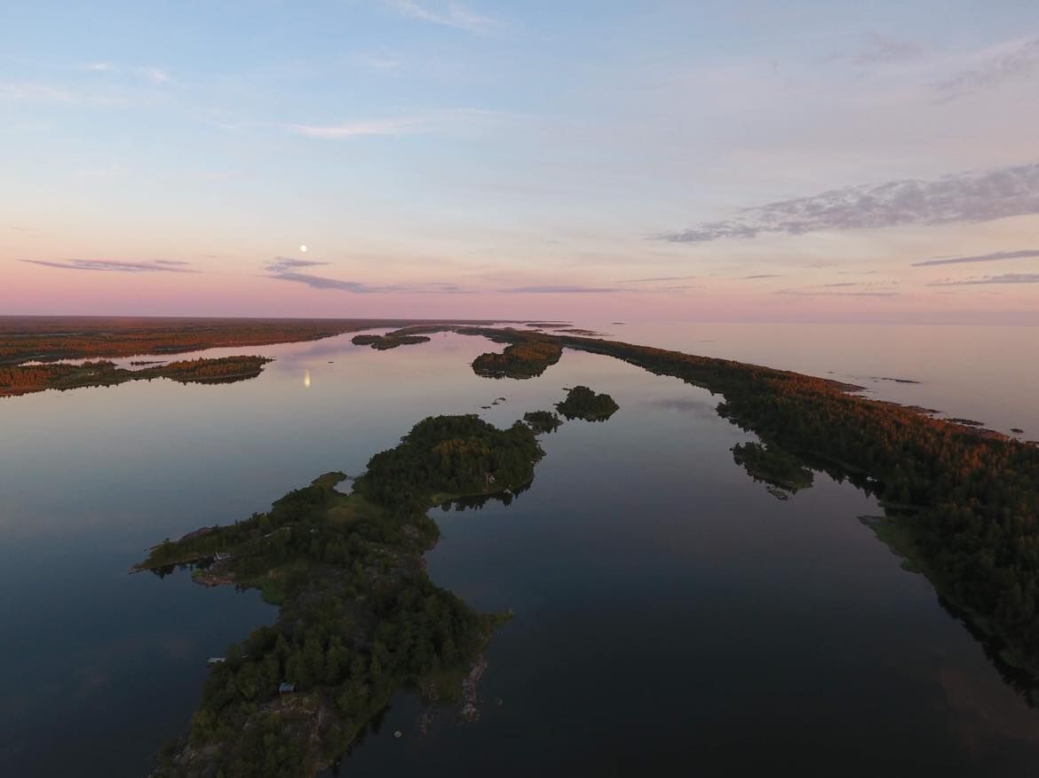
Skaftungleden
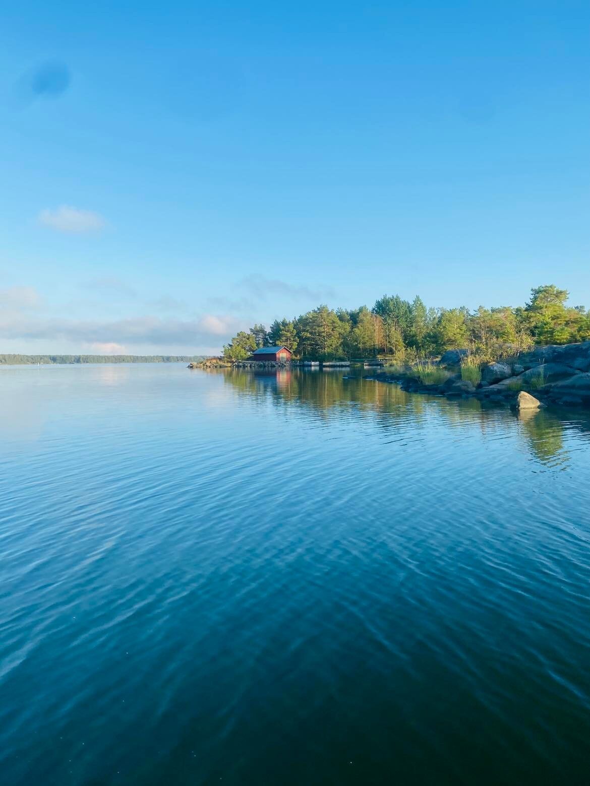
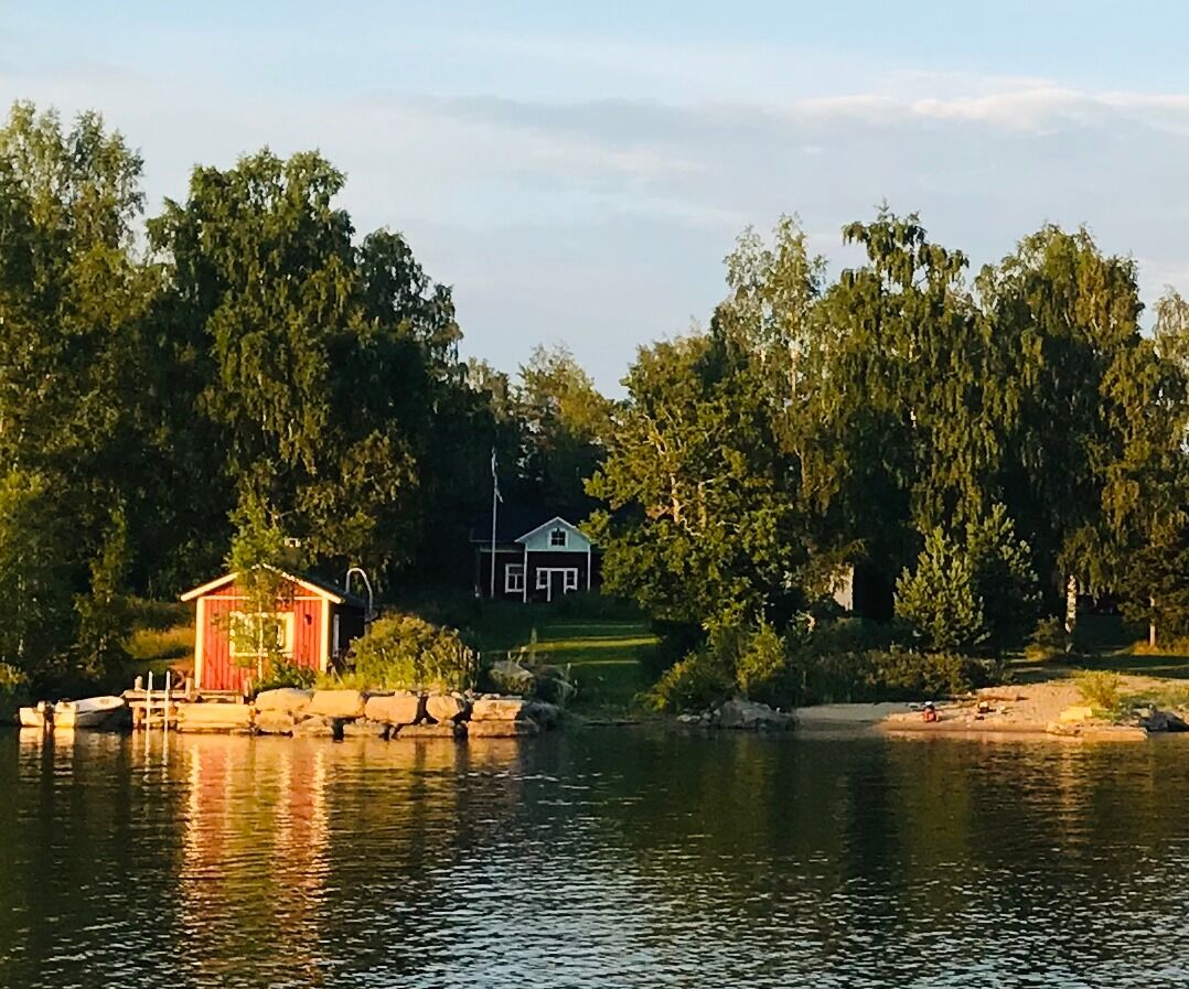
The route starts at the former pilot station at Högklubben. On the island of Gräsgrund there are some very well preserved houses. In May 1921 Söderberg family moved to the island. The family lived there...
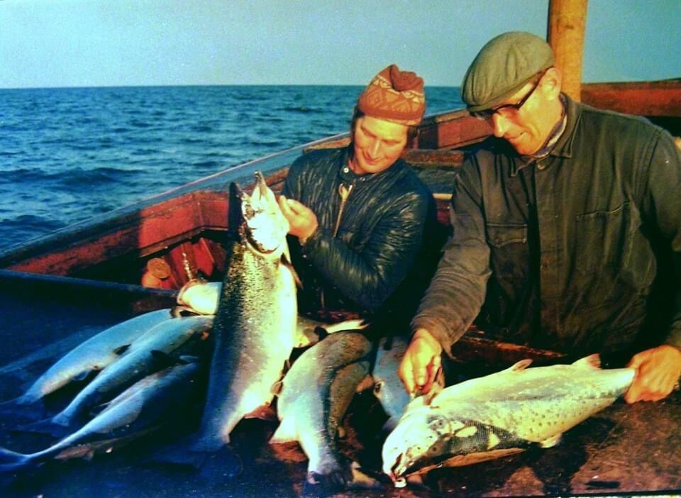
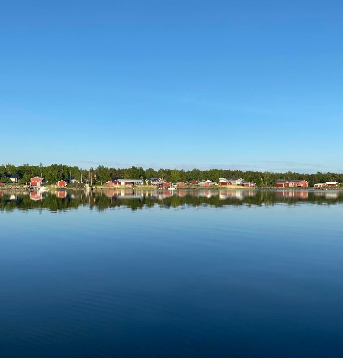
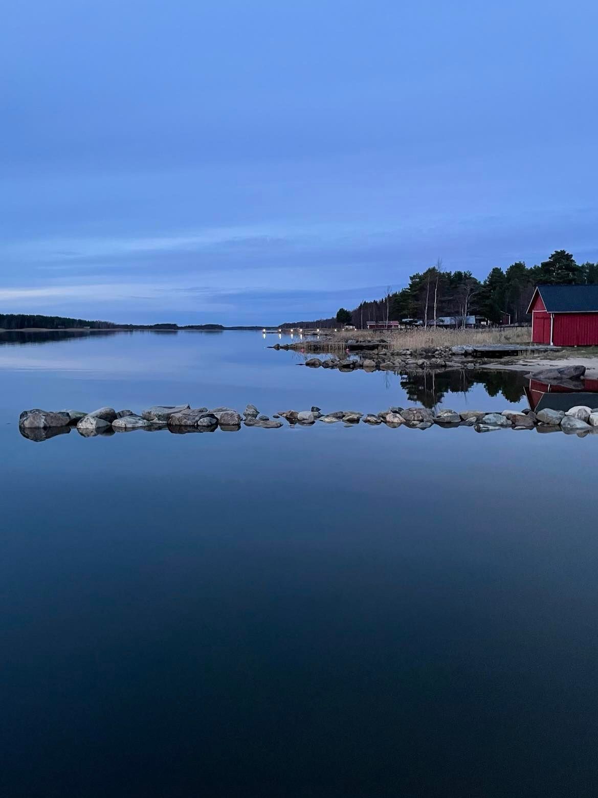
The route starts at the former pilot station at Högklubben. On the island of Gräsgrund there are some very well preserved houses. In May 1921 Söderberg family moved to the island. The family lived there all year round for many decades. Today the buildings are used by members of the same family as summer cottages. In Västra ändan many people have earned their living by fish farming for several decades. Nowadays fishing has partly been replaced by fish farming. Stånggrund is the only island in Skaftung today to have year round habitation (only one inhabitant). Salmon, Baltic herring and common whitefish were the most important fish species for Skaftung's fishermen. There were two big fish smokehouses in the village. Today there is only one left.
(texts: Inga-Lill Till)
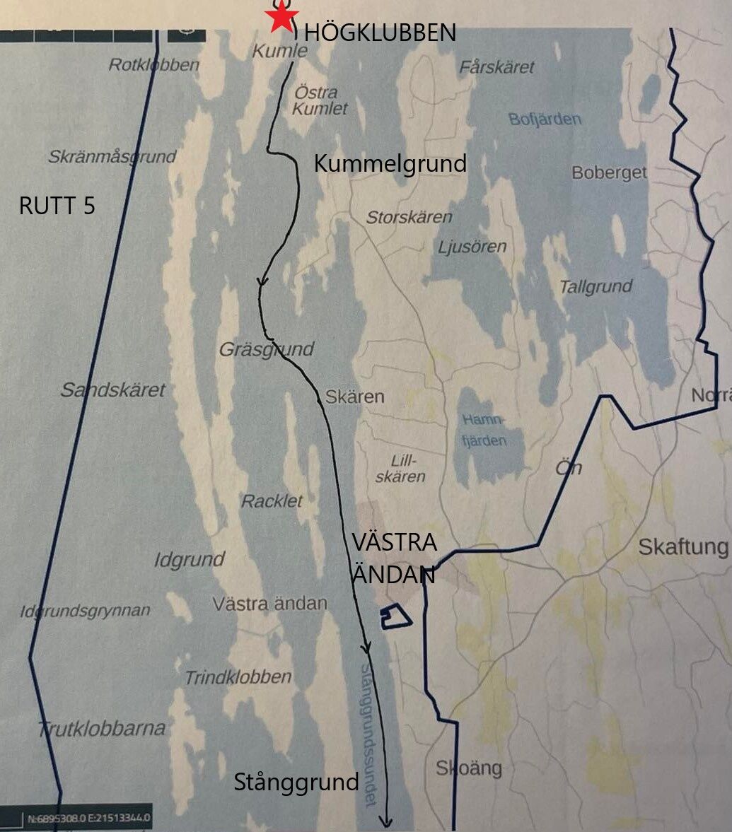

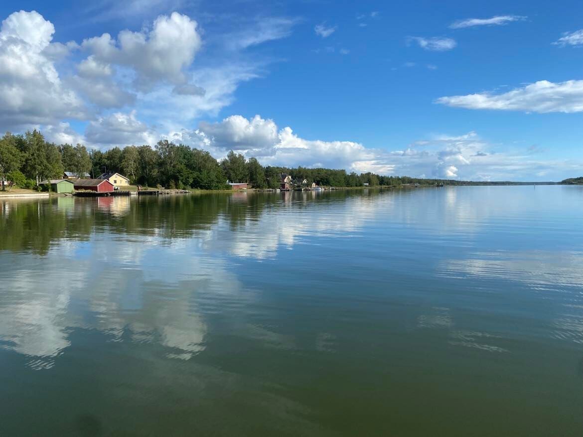
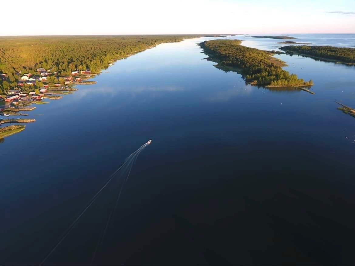
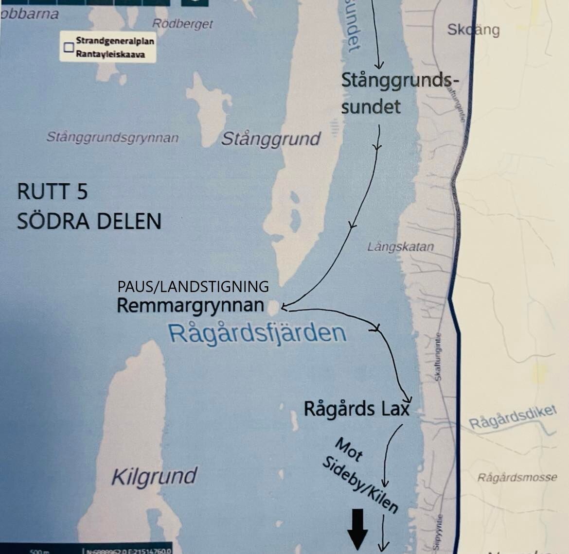
Head towards south. Paddle through the strait between Kumlet and Östra Kumlet. On this route, the mainland is always visible. Keep paddling south, after Västra ändan you enter the strait Stånggrundssundet. On Stånggrund's southern side you can see Remmargrynnan. It is a nice place to have a pause. From Remmargrynnan you can paddle to Rågårds Lax. Follow the same route to get back to Högklubben.
Check the current weather conditions.
You can continue to the south after Rågårds Lax, towards Sideby.
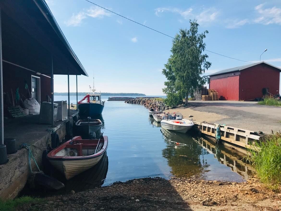
It is nice to have a snack which you can eat during a pause. You can also buy fish from Rågårds Lax, when it is open.
Parcours populaires à proximité
St Olav Ostrobothnia (S) 2/10, Henriksdal-Kristinestad
difficileChemin de pèlerinage 27,7 kmSkaftung's archipelago's northwestern areas
Kayak / Canoë 10,4 kmMurgrund and Österskäret
Kayak / Canoë 16,4 kmSkatan Tour
Kayak / Canoë 13,6 kmSt Olav Ostrobothnia (S) 1/10, Sideby-Henriksdal
moyenChemin de pèlerinage 17,1 kmSkaftung – To the sea!
Kayak / Canoë 17,2 kmMemories from Skaftung's golden age
Kayak / Canoë 16,8 kmVilgrund and Haahkaluoto
Kayak / Canoë 12,6 kmTour de Kristinestad
Faire du vélo 442,4 km

Randonnée et suivi


Ne manquez pas les offres et l'inspiration pour vos prochaines vacances
Votre adresse électronique a été ajouté à la liste de diffusion.