


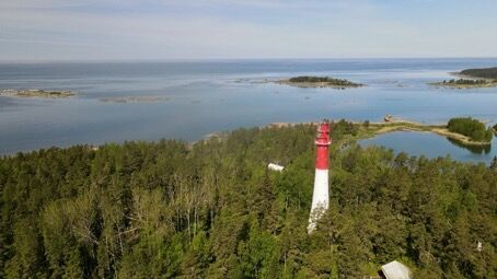
St Olav Ostrobothnia (S) 1/10, Sideby-Henriksdal
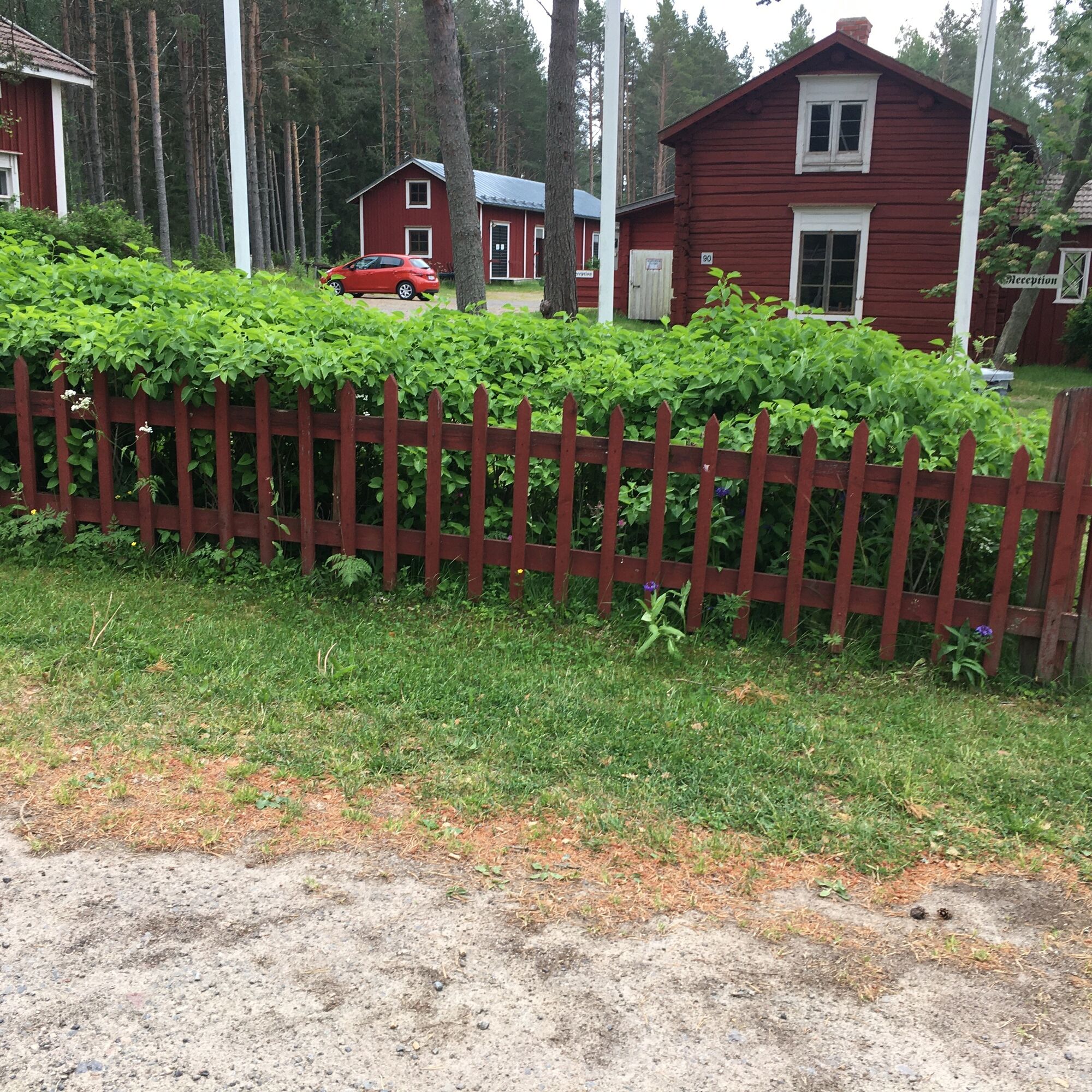
The starting point of the southern part of St Olav Ostrobothnia is located at Kilens hembygdsgård, on the seashore in the southernmost village of Sideby in Ostrobothnia. Accommodation options for the hiker...
A relatively short and easy day hike, which runs mostly on road (asphalt and gravel) and a smaller part along the hiking trail in forest terrain.
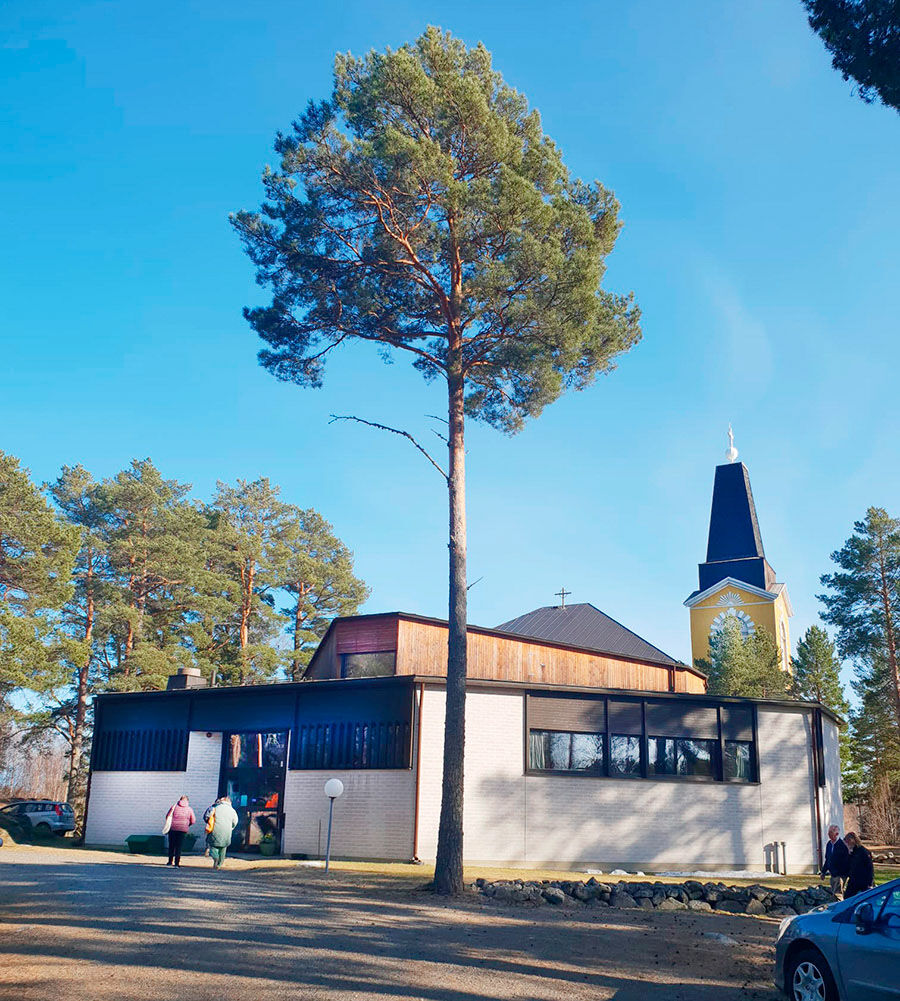
NOTE: the stage lacks services in the form of grocery stores and eateries (one possibility is to take a detour of about 2.5 km at the start via the church and the village shop, then Gamla Vägen and Sandtået back to Sidebyvägen and the trail).
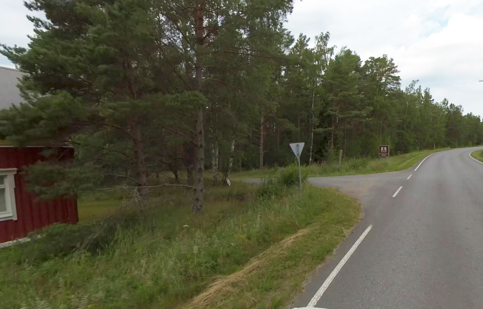
Initially, you walk several straight stretches on asphalt. When you arrive to Skaftung village, and from there the stage gradually continues along a forest road towards Henriksdal. Overnight accommodation is available at Henriksdal's village cabin.


Parcours populaires à proximité
St Olav Ostrobothnia (S) 2/10, Henriksdal-Kristinestad
difficileChemin de pèlerinage 27,7 kmSkaftungleden
Kayak / Canoë 19,7 kmSkaftung's archipelago's northwestern areas
Kayak / Canoë 10,4 kmSkaftung – To the sea!
Kayak / Canoë 17,2 kmMemories from Skaftung's golden age
Kayak / Canoë 16,8 kmTour de Kristinestad
Faire du vélo 442,4 km

Randonnée et suivi


Ne manquez pas les offres et l'inspiration pour vos prochaines vacances
Votre adresse électronique a été ajouté à la liste de diffusion.