



Antila Route

The route from the inner city to Antila takes you around the cape that Kristiinankaupunki has been built on. Along the trip, you can enjoy pieces of history and nature of Kristiinankaupunki.
You can land...
The route from the inner city to Antila takes you around the cape that Kristiinankaupunki has been built on. Along the trip, you can enjoy pieces of history and nature of Kristiinankaupunki.
You can land at e.g., Pavis, Skatan, Tallskär or Cannon Bay.
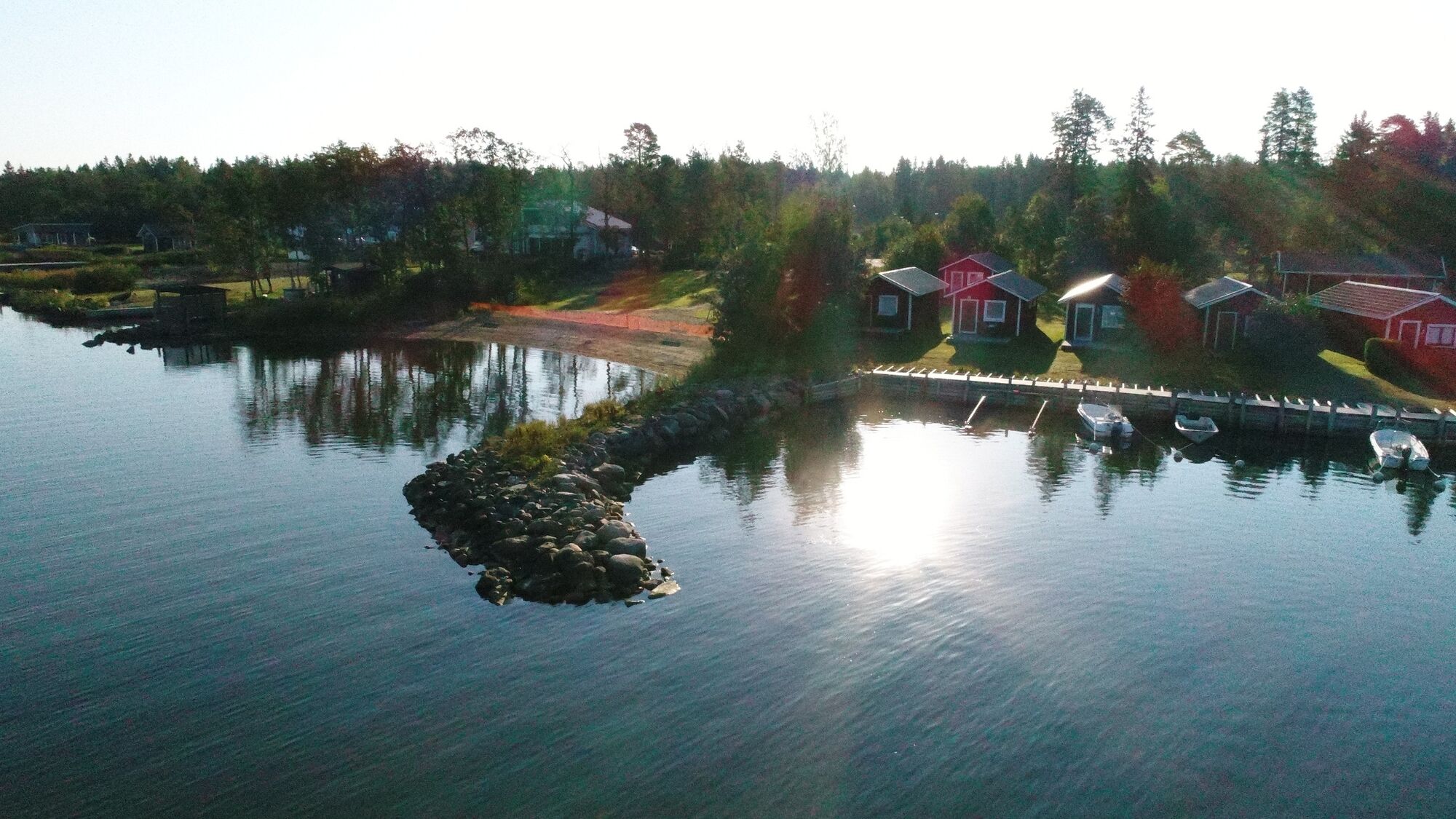
Especially the Cannon Bay is recommended as a pleasant picnic destination. If you desire a fish themed picnic, visit the fishing village of Skatan. There you can both reclaim salmons that you have ordered beforehand and admire the two ends of seafaring as captains built their stately villas in Skatan next to the humble dwellings of the poor fishermen.


1. Inner city–Korkeasaari
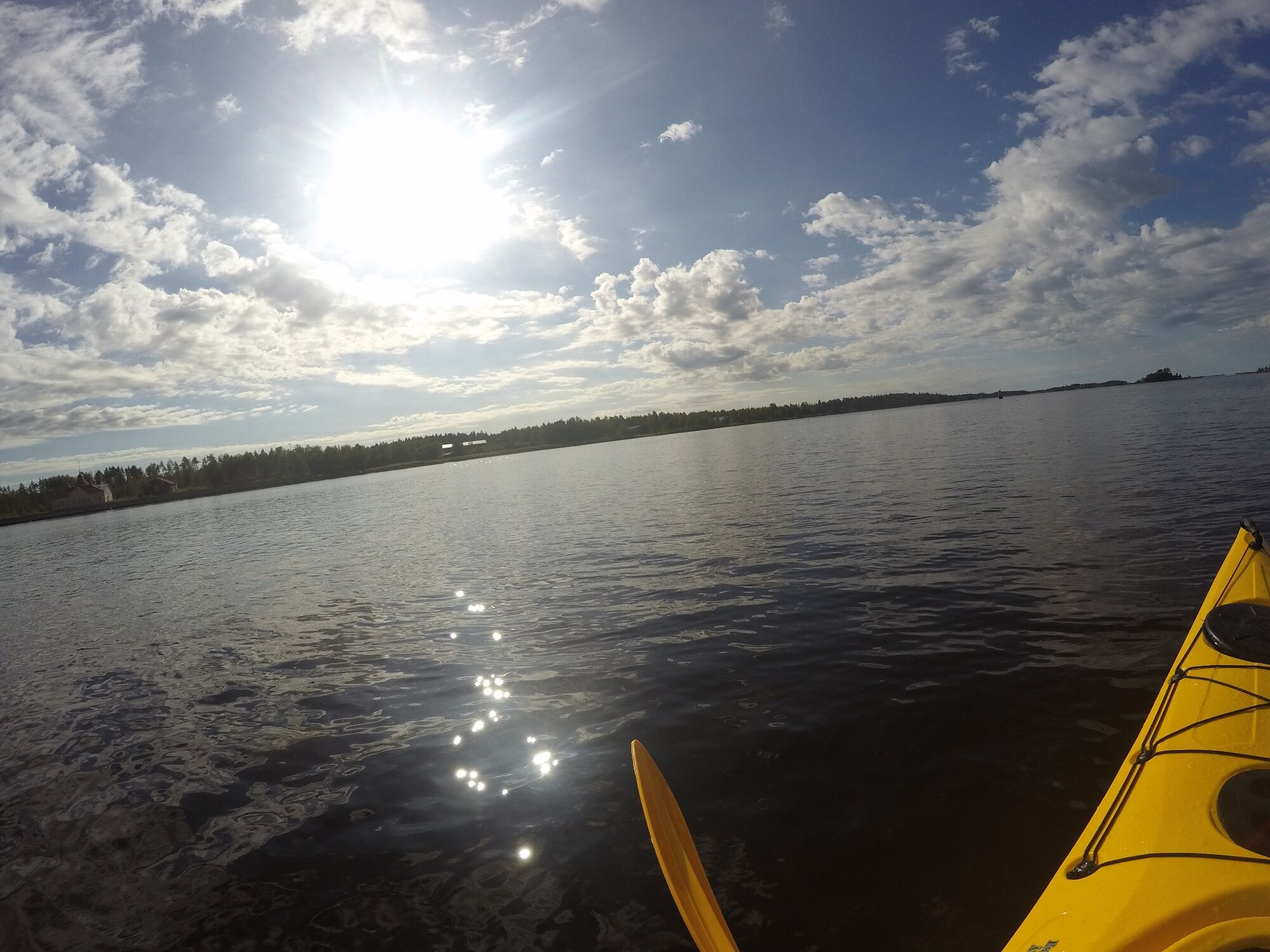
Leaving from the inner city, paddle to Korkeasaari.
The most important sight of Korkeasaari is the summer restaurant Pavis owned by Kristiinankaupunki Sailing Club. There you can go ashore to admire the building’s architecture or enjoy a meal in the restaurant. Canoes and kayaks can also be rented there.2. Korkeasaari–Cannon Bay
Continue to Lingonskäret via Svartgrund. Lingonskäret can be circumnavigated from either side. The left-hand route between Lingonskäret and Stickelgrund takes you through the gorgeous islands and the right-hand route leads to the fishing village of Skatan.
After islands Häbbret and Tallskäret, the route continues at sea. Follow the coast of Björkskäret until you discover rocks. You have reached Cannon Bay.
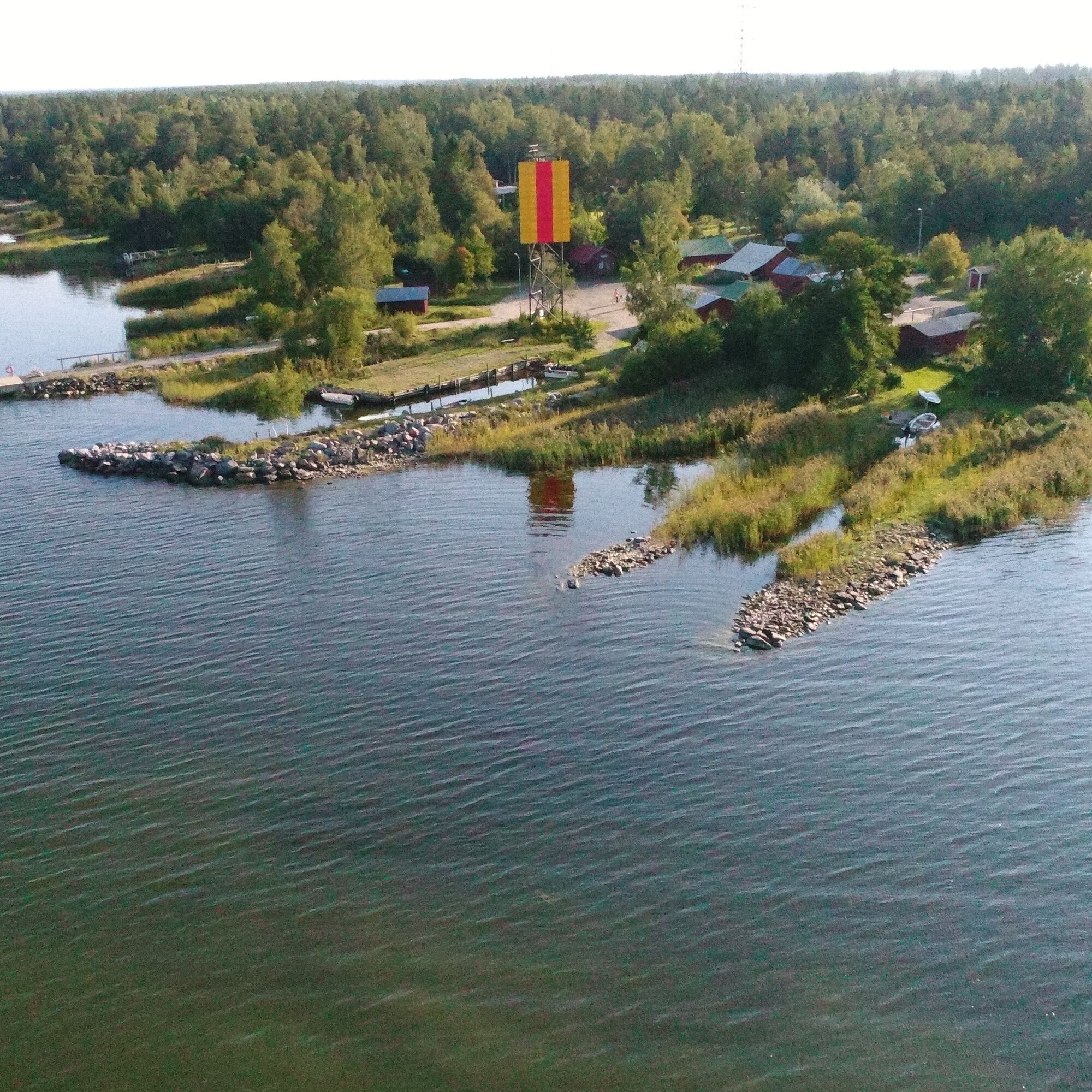
Both Tallskäret and Halsgrund are uninhabited islands so you may crisscross the as you wish. Halsgrund’s area is 4.7 hectares, and it is 430 metres long. The gingerbread houses of Skatan are visible to seafarers. In the bygone days, they belonged to rich captains. In the picturesque Skatan, the captains’ mighty wooden villas and the fishermen’s small wooden houses lie side-by-side in harmony. Lots of interesting history has been preserved in the fishing village so it pays off to land and take a walk in the beautiful Skatan.Petrin Lohi is in the heart of Skatan. From there, you can reclaim salmons you ordered beforehand for your picnic.
Björkskäret is a scenic place with several routes to walk through. Bring also your binoculars with you as it is possible to see skuas and white-tailed eagles there.
At Cannon Bay, there are both beautiful rocks and charming green areas. The site is well liked, and many come here to take a dip in the sea. Do you have a picnic basket with you? This is the site for enjoying a nice outdoor meal. There are two camp-fire places and the city provides the firewood.
3. Cannon Bay–Antila
The route from Cannon Bay to Antila goes along the seashore.
In Leppäsalmi, the route takes you by old huts and boathouses. From there continue to Antila. Besides the beach, you can also marvel the growth of the city's new residential area. You can land in Antila. The beach is small and quiet—suitable for families with children. It is situated only three kilometres from the city centre. Changing rooms are at the edge of the beach.If you wish to rent a canoe, a kayak or a SUP-board, start your trip at the seaside on the West Side of the city. Along the promenade, you will find both Kristiinankaupunki Tourist Information and the rentable kayaks and SUP-boards. You can also rent a rowboat, Tyra.
Parcours populaires à proximité
Cittago
moyenFaire du vélo 13,9 kmSt Olav Ostrobotnie (E), Henriksdal-Kristinestad
difficileChemin de pèlerinage 25,9 kmMurgrund and Österskäret
Kayak / Canoë 16,4 kmSkaftung's archipelago's northwestern areas
Kayak / Canoë 10,4 kmSkaftung – To the sea!
Kayak / Canoë 17,2 kmSkatan Tour
Kayak / Canoë 13,6 kmCittaslow-parcours
moyenFaire du vélo 21,0 kmSt Olav Ostrobothnia (S) 1/10, Sideby-Henriksdal
moyenChemin de pèlerinage 17,1 kmMemories from Skaftung's golden age
Kayak / Canoë 16,8 kmBlue Trail
Randonnée 3,65 km
Randonnée et suivi


Ne manquez pas les offres et l'inspiration pour vos prochaines vacances
Votre adresse électronique a été ajouté à la liste de diffusion.


