






Arlberg Trail Stuben am Arlberg - Lech am Arlberg
Niveau de difficulté: T2
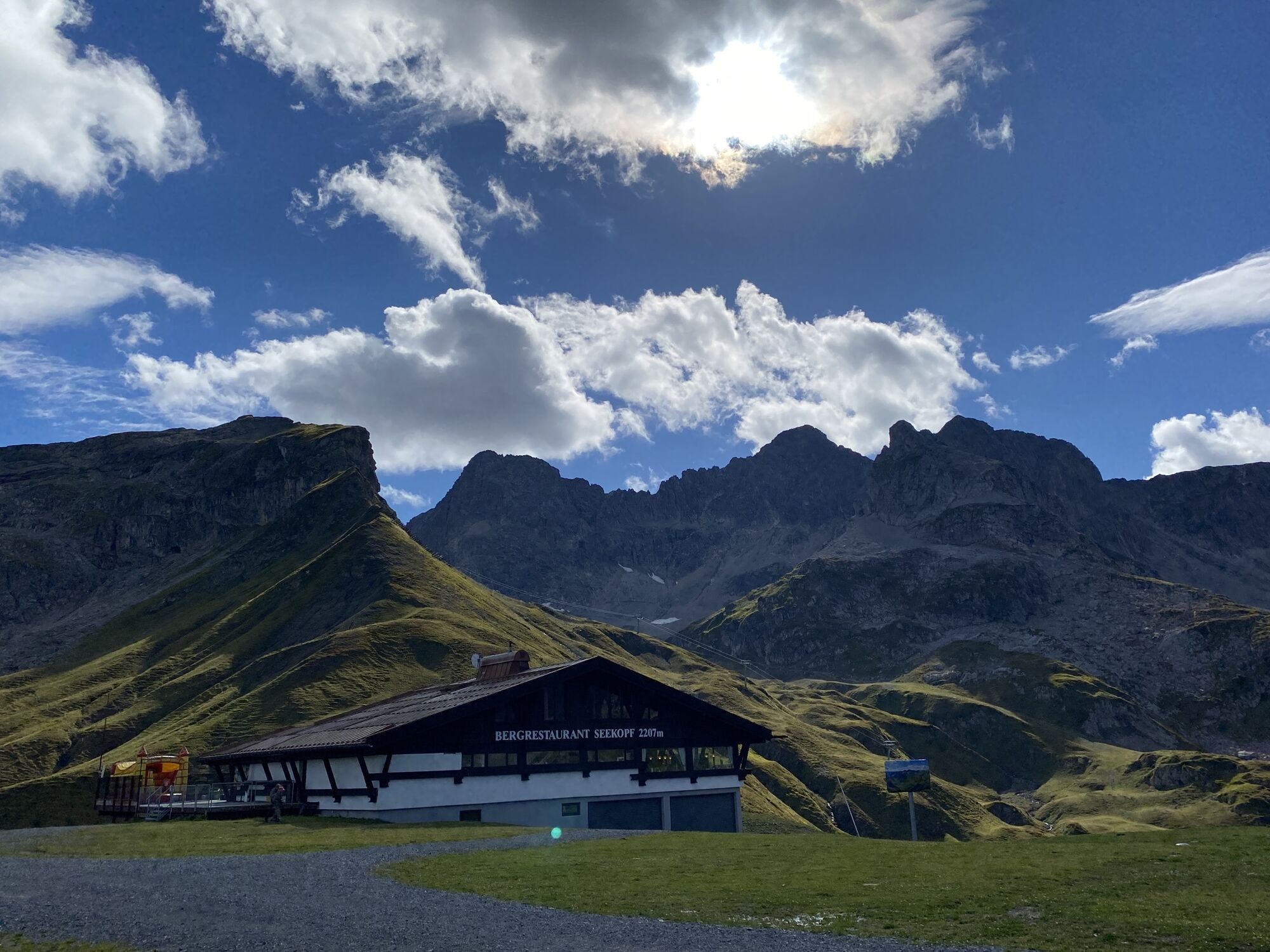

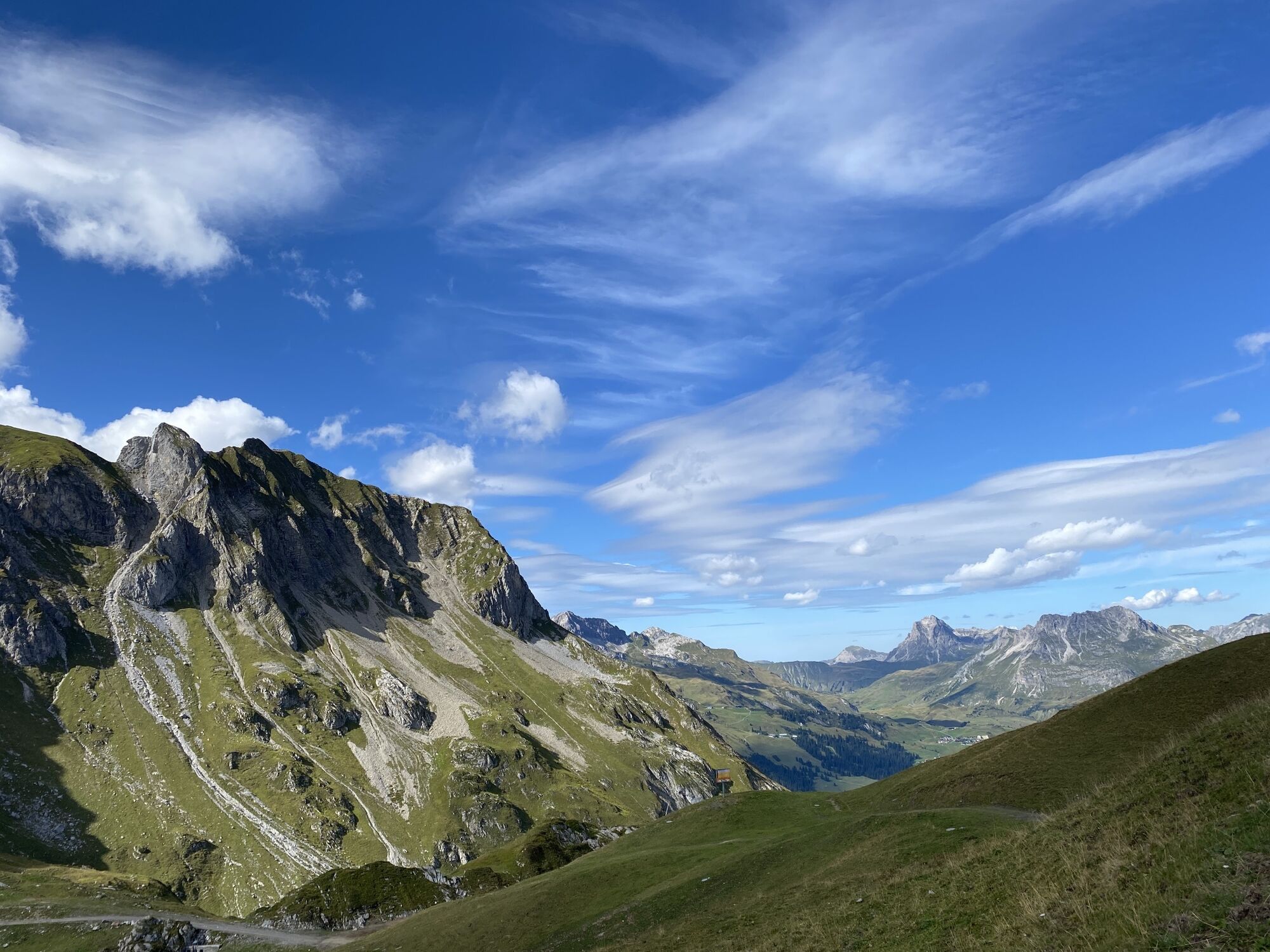
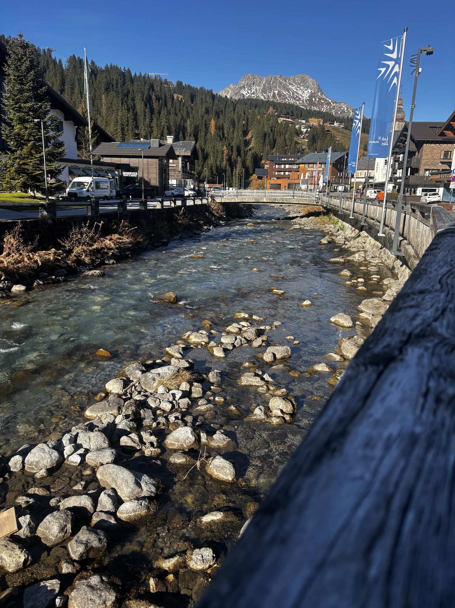
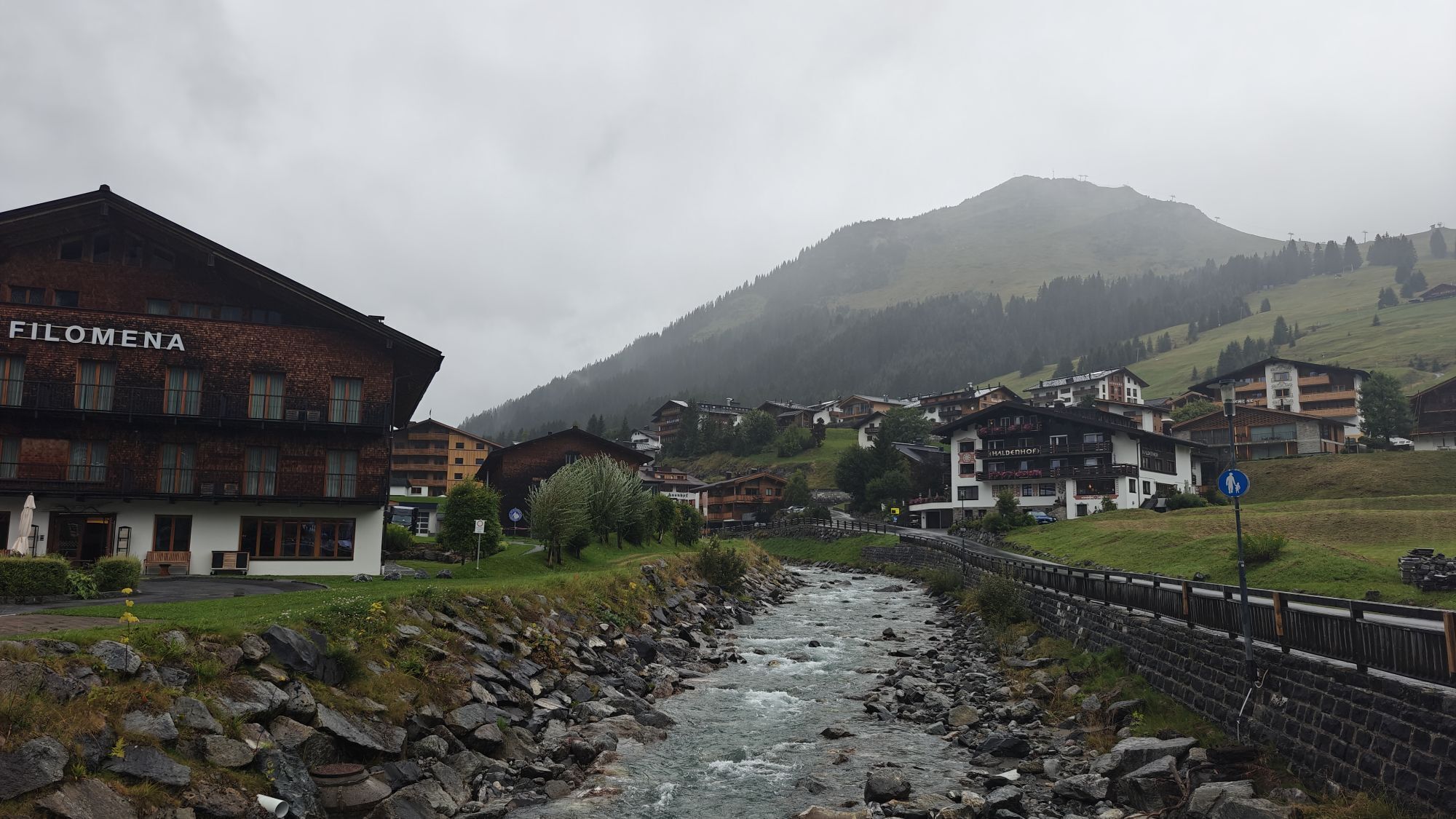
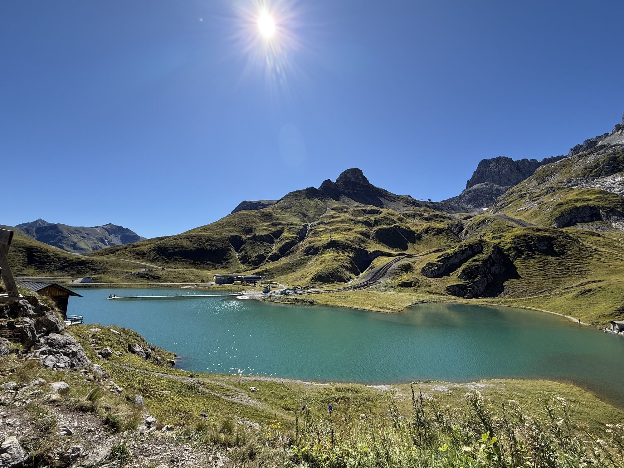
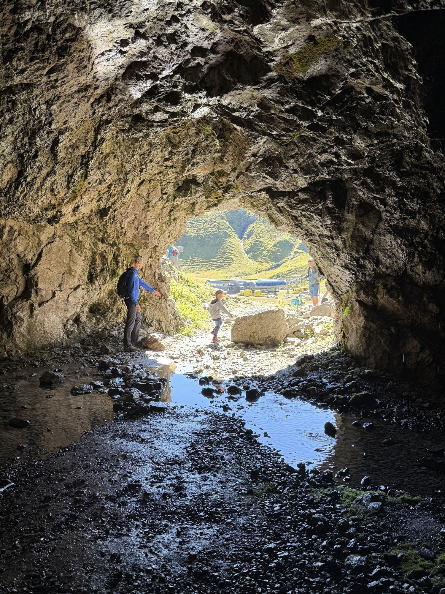
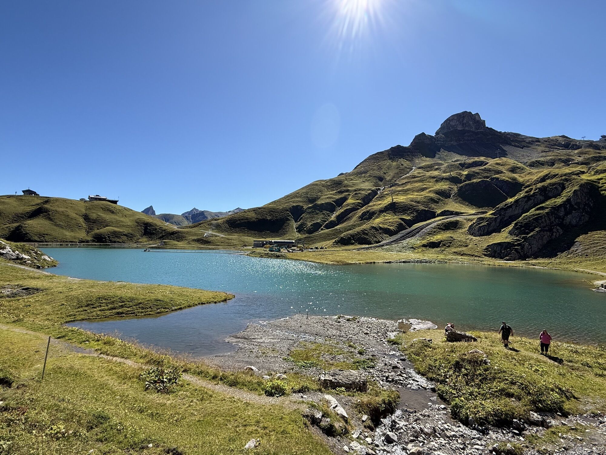
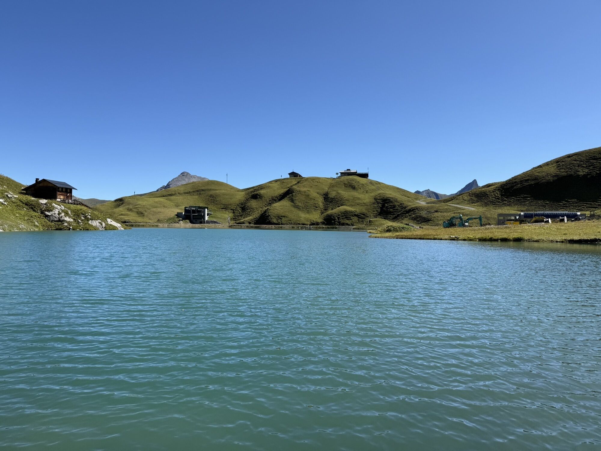
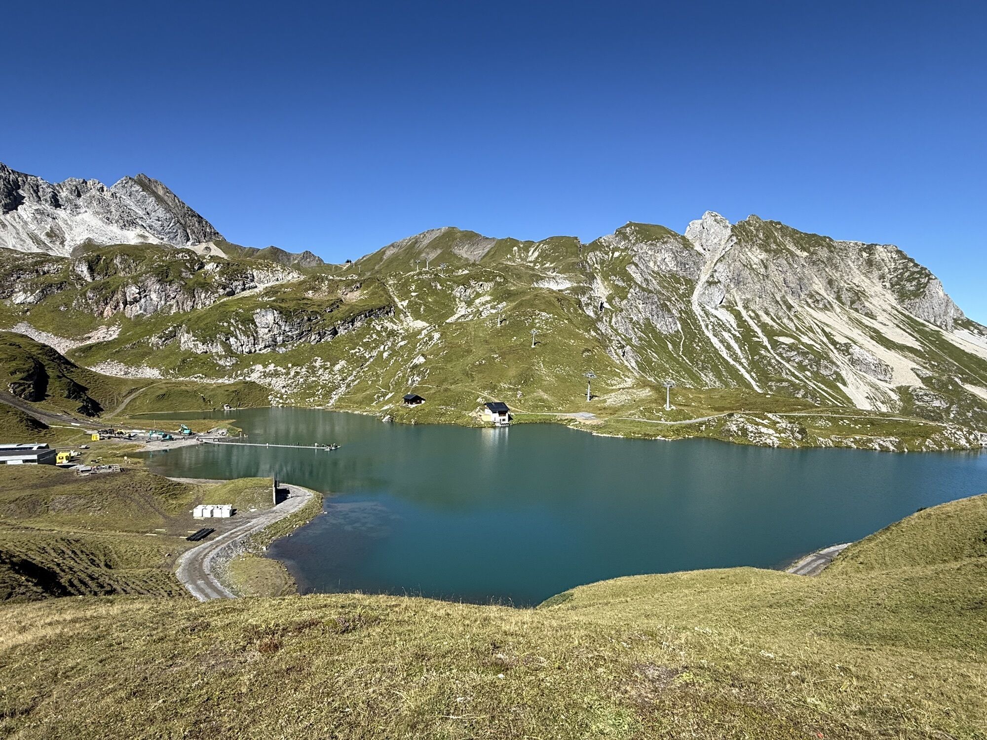
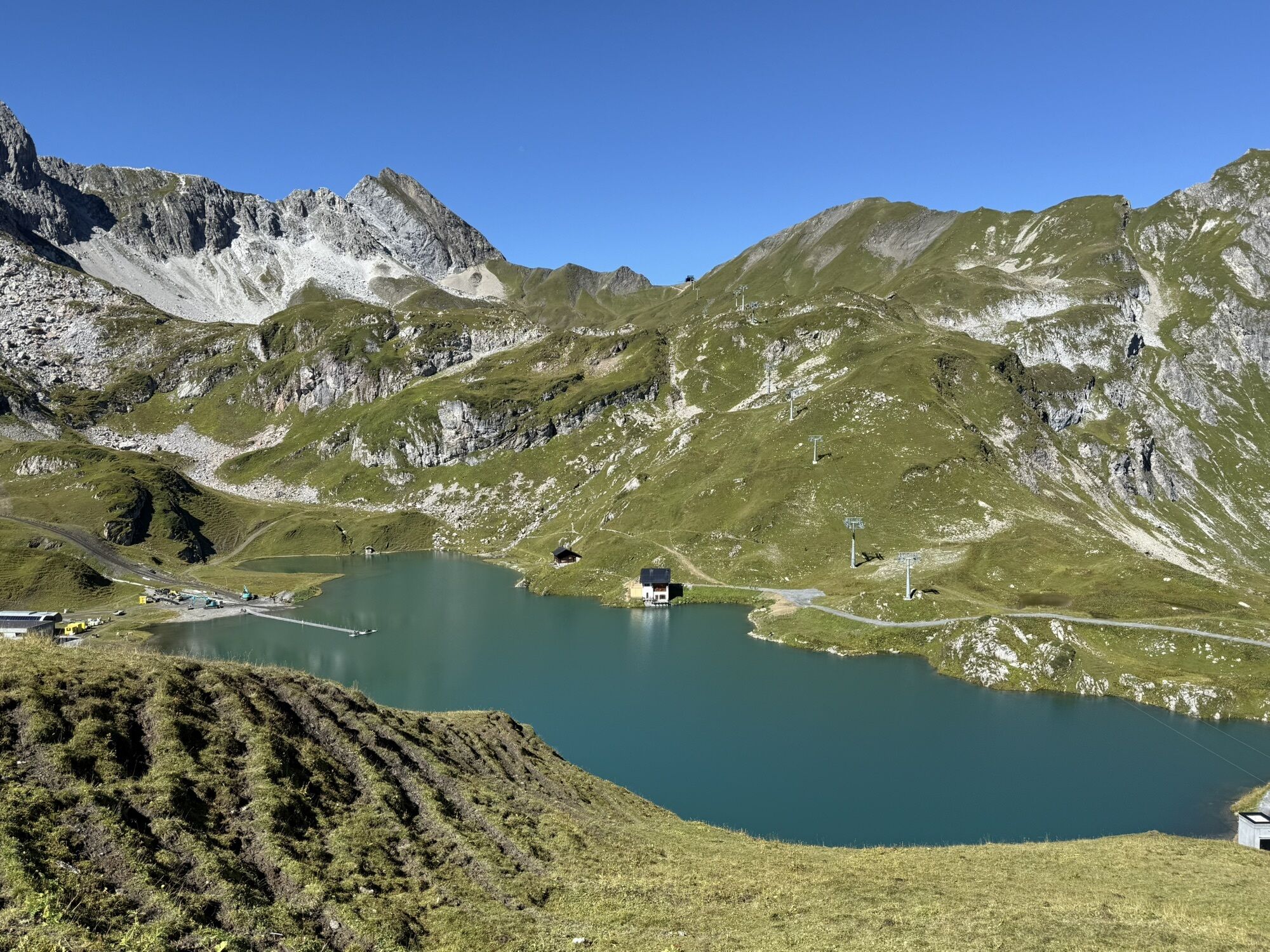
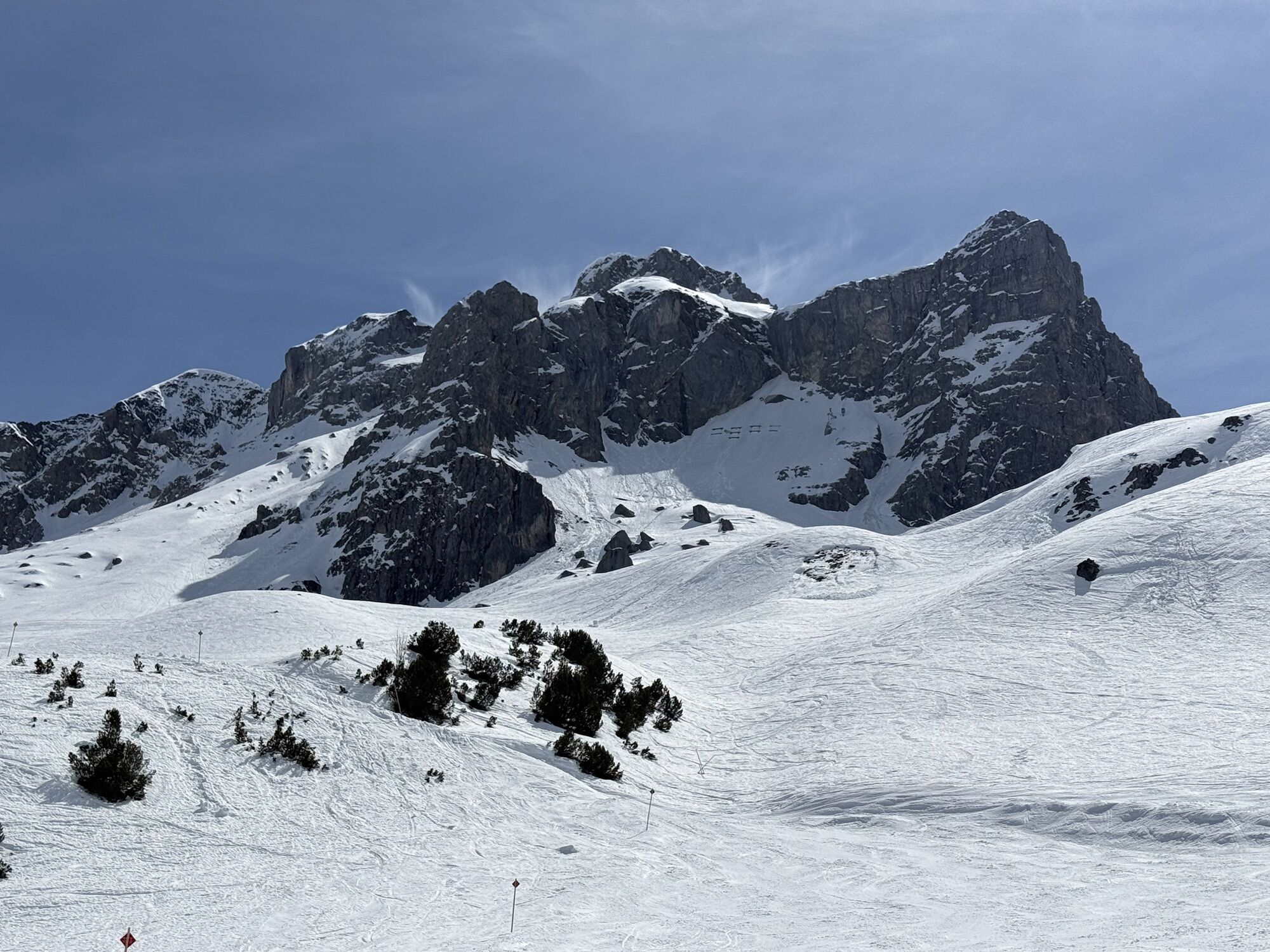
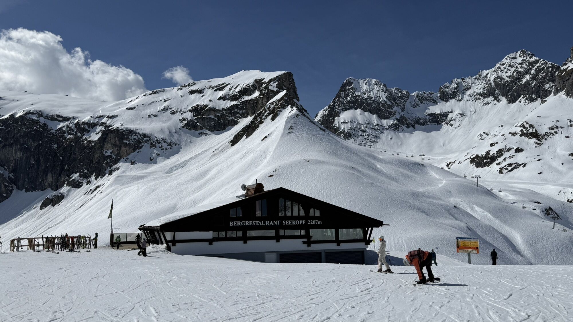
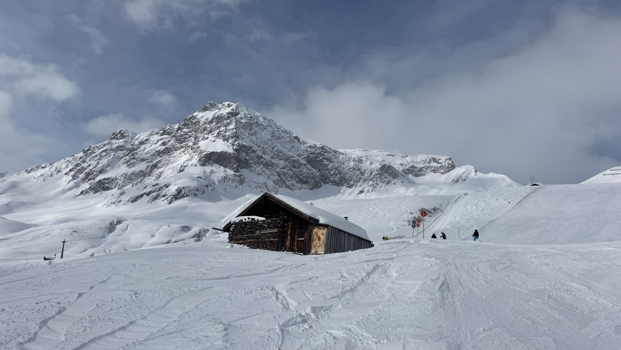
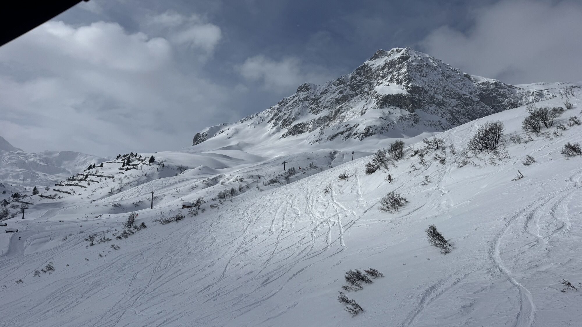
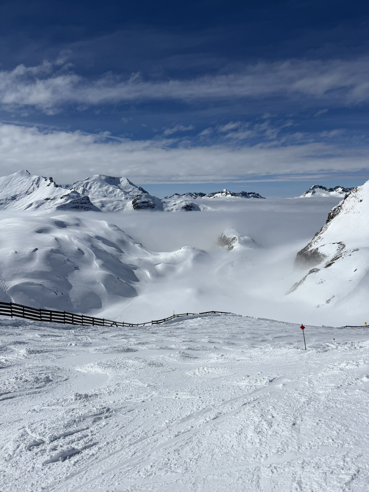
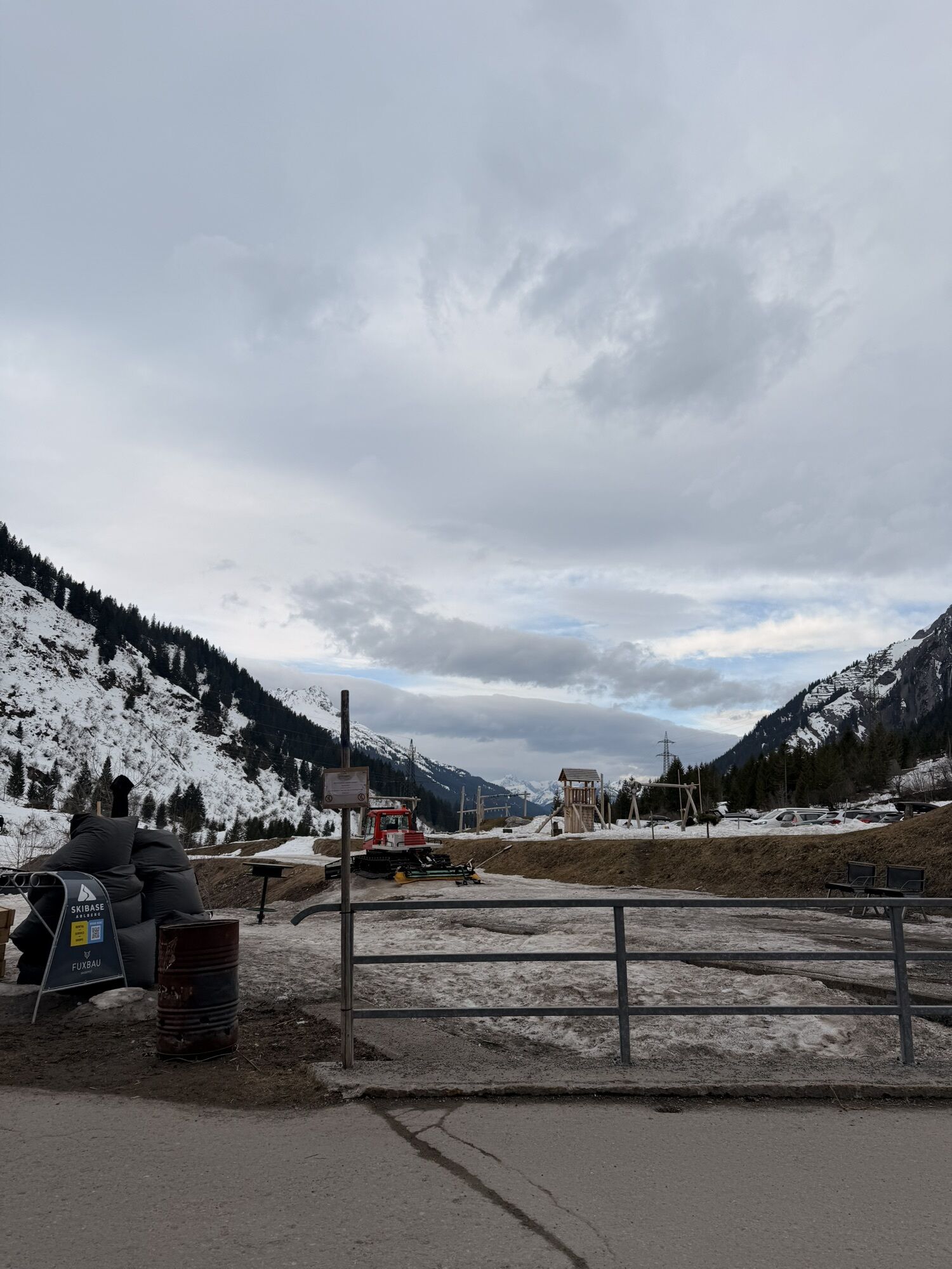
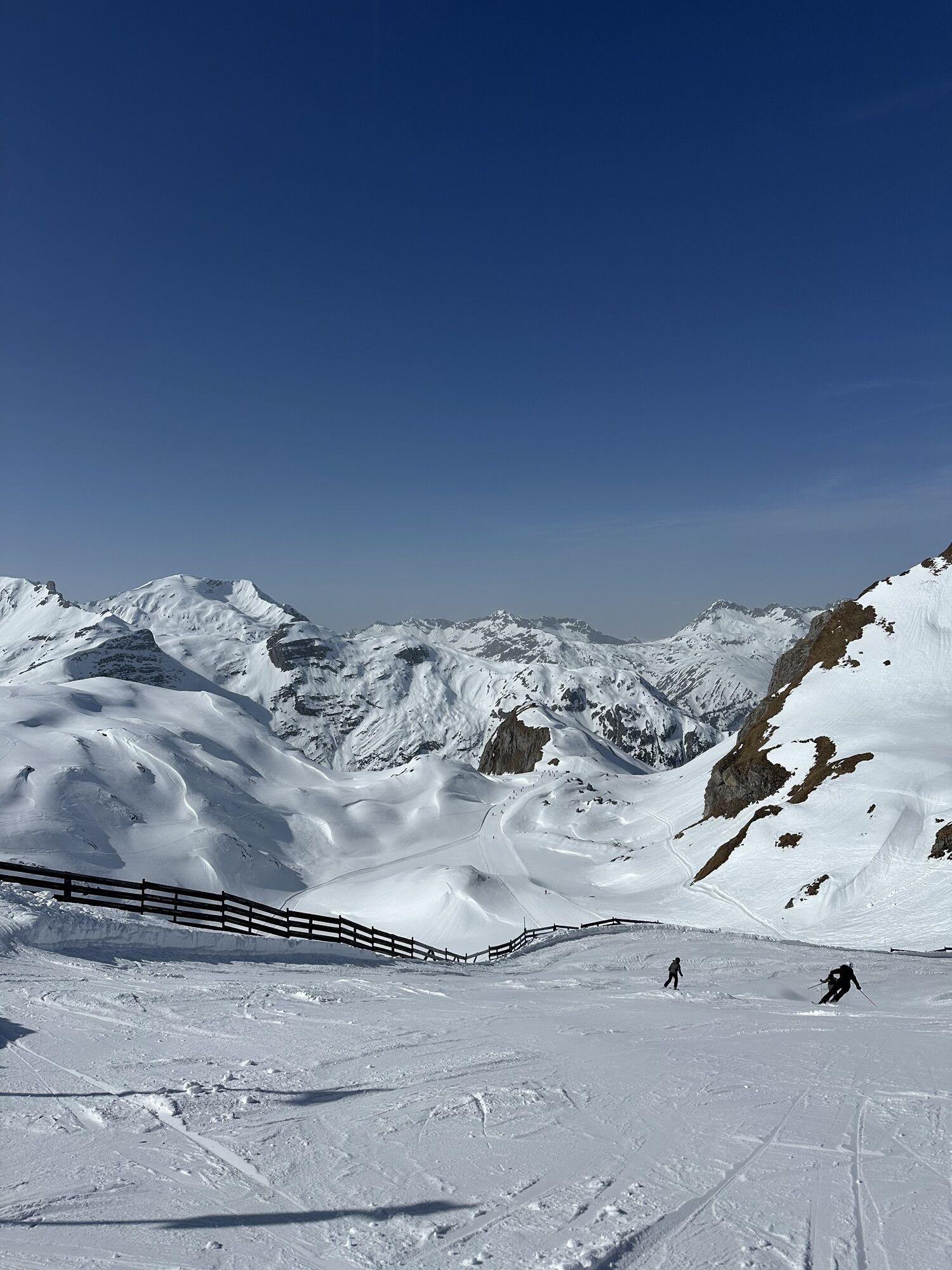
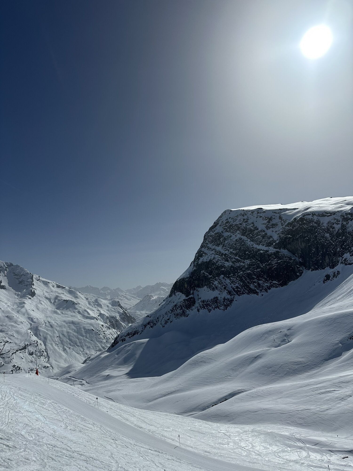
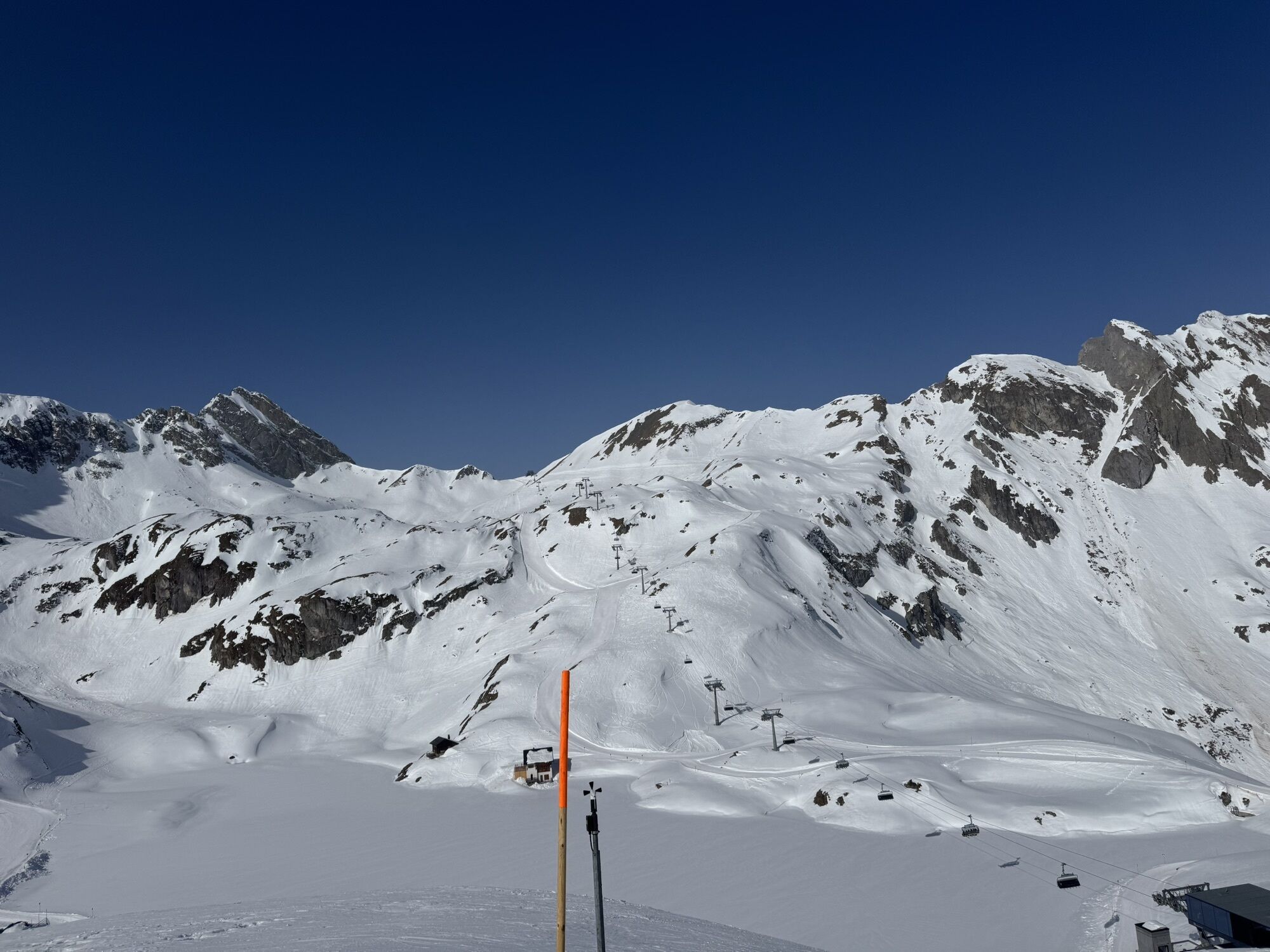
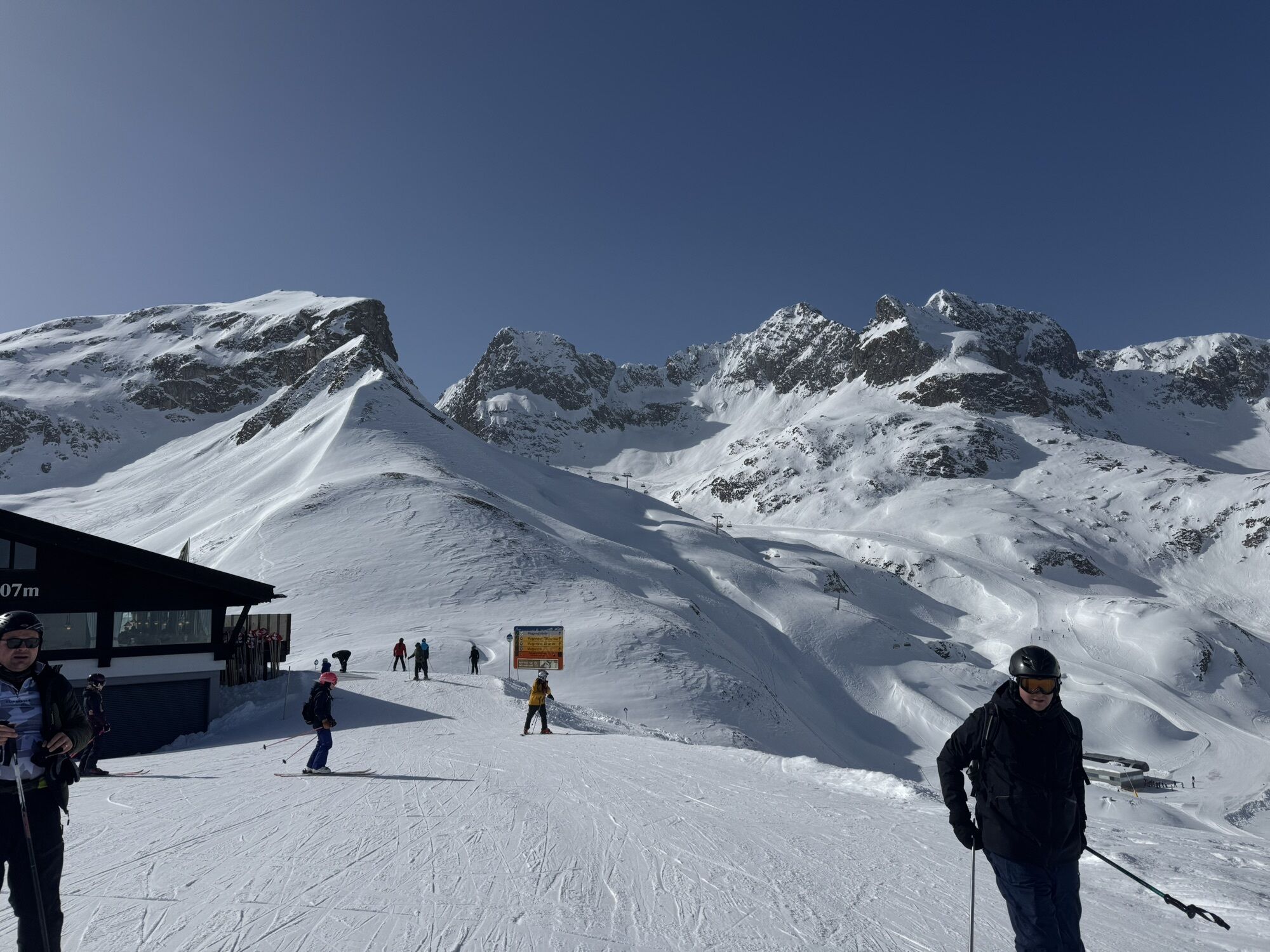
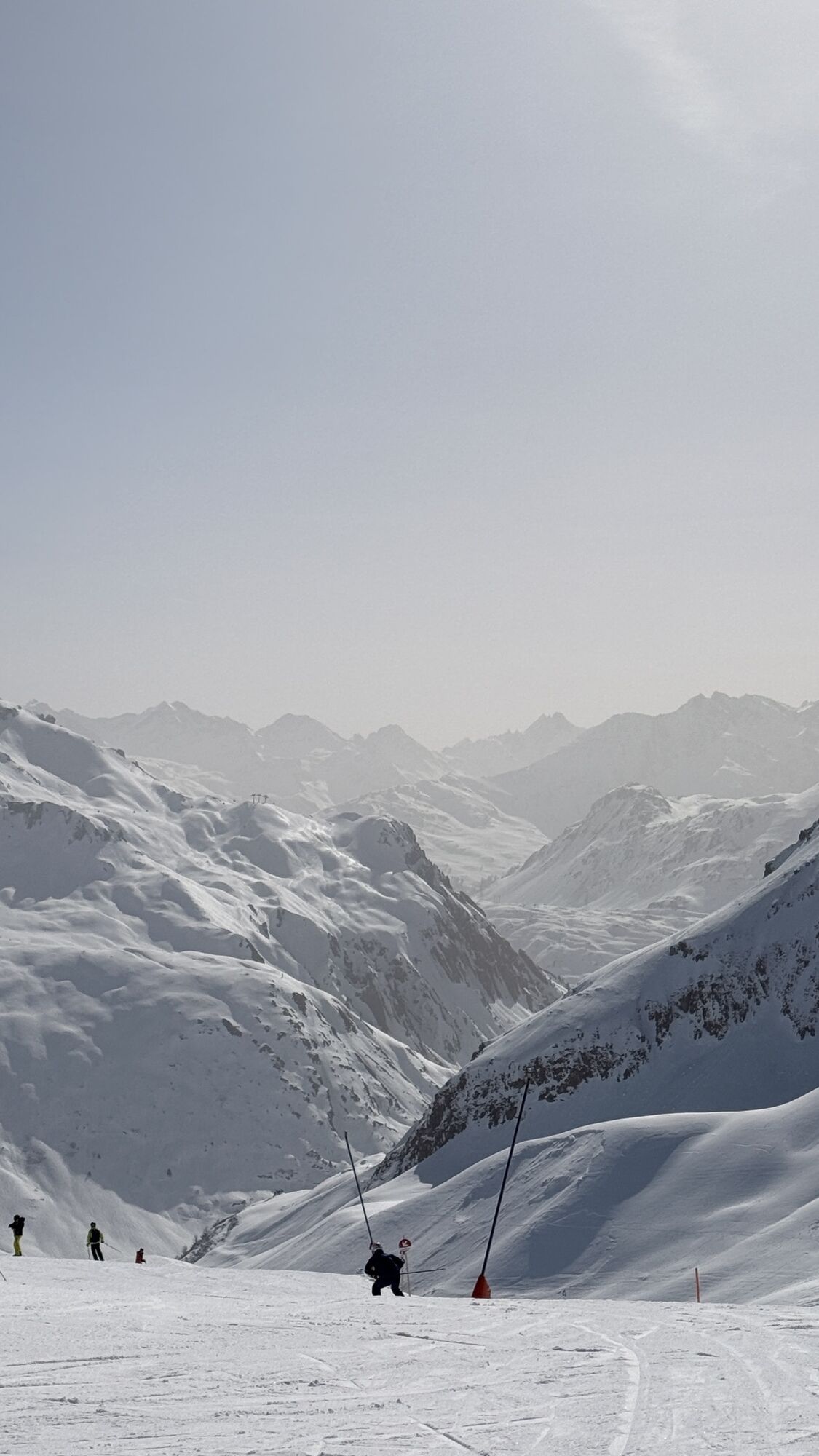
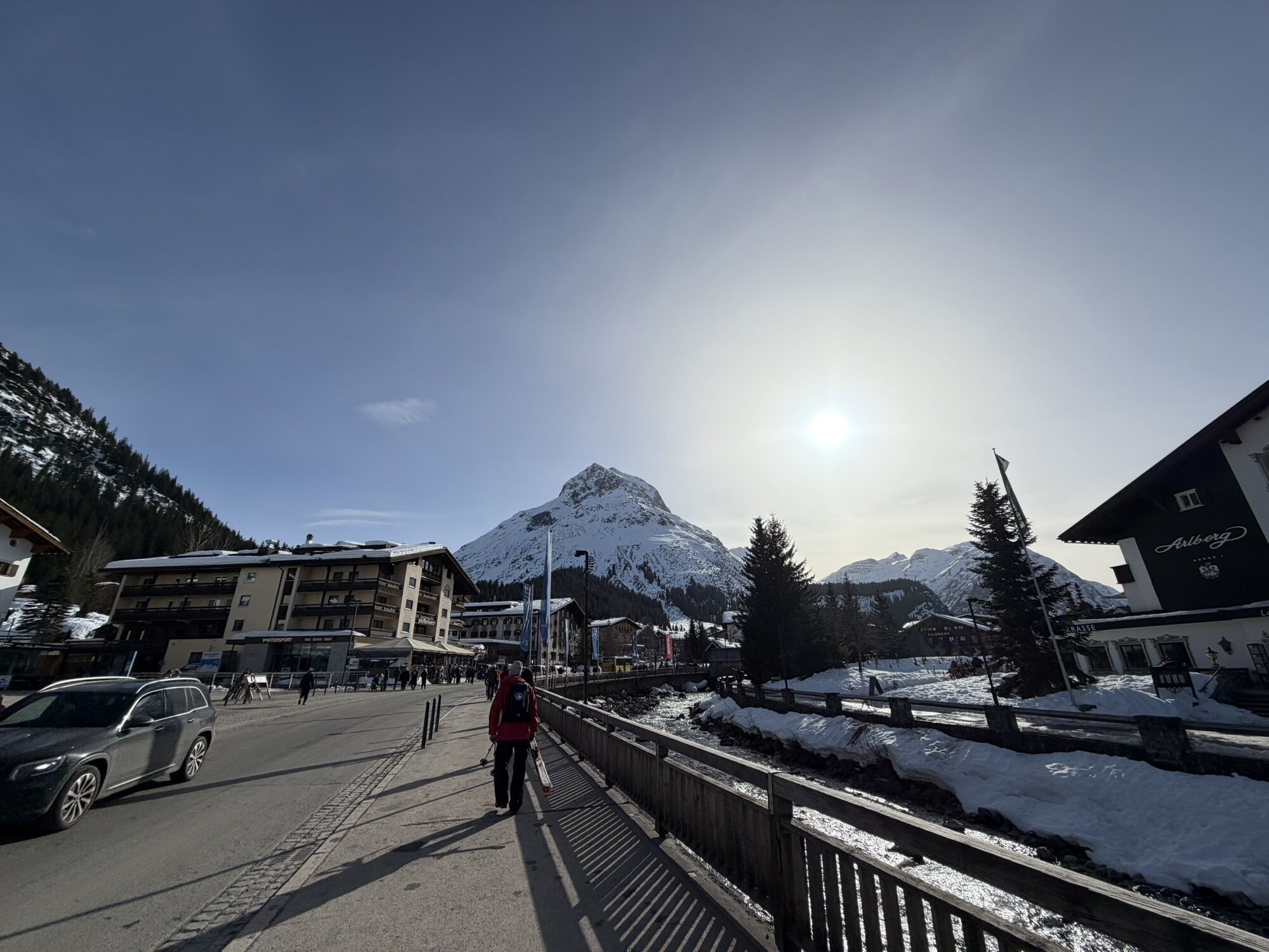
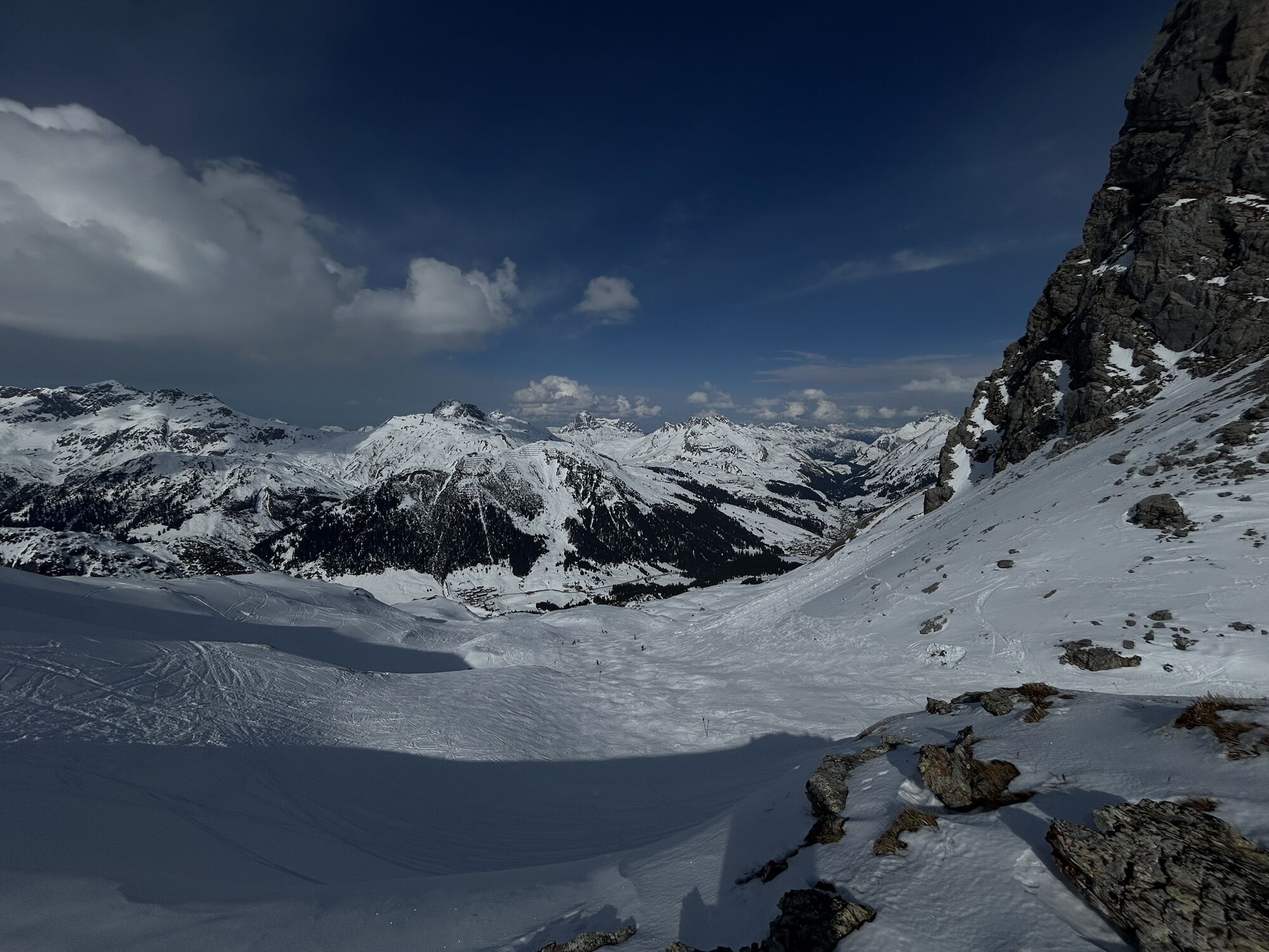
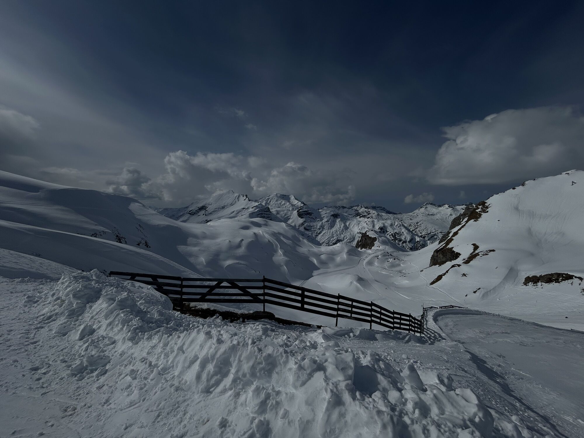
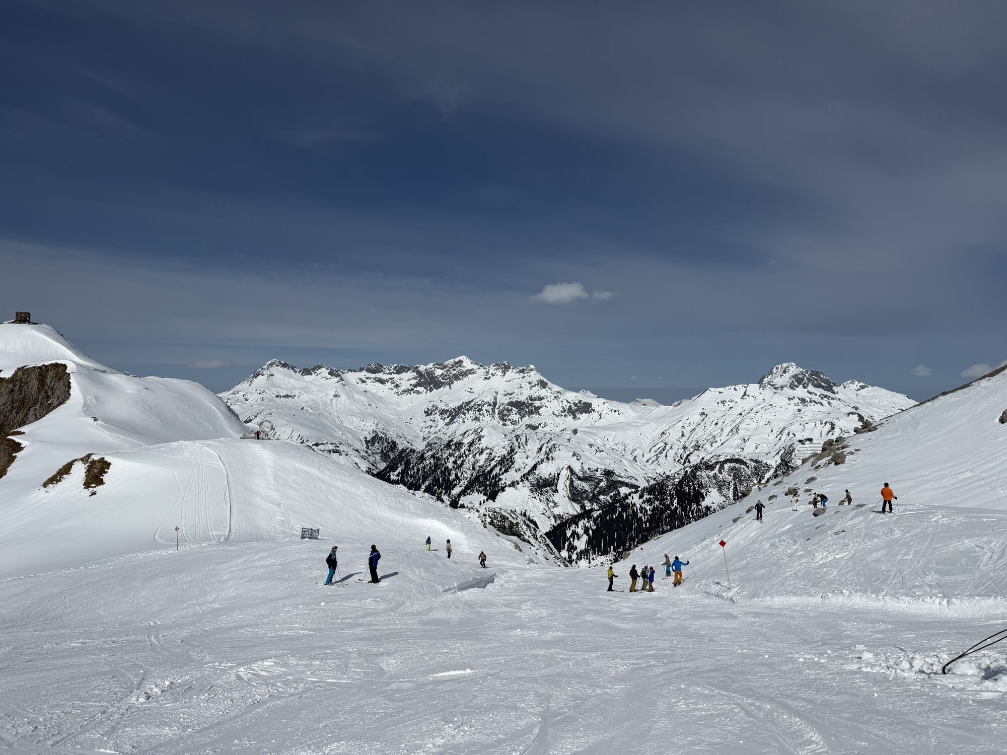
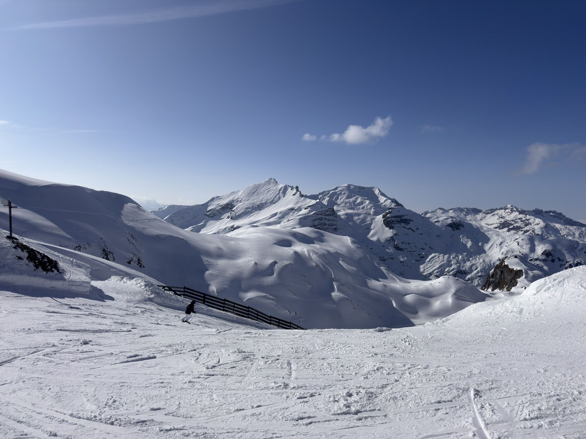
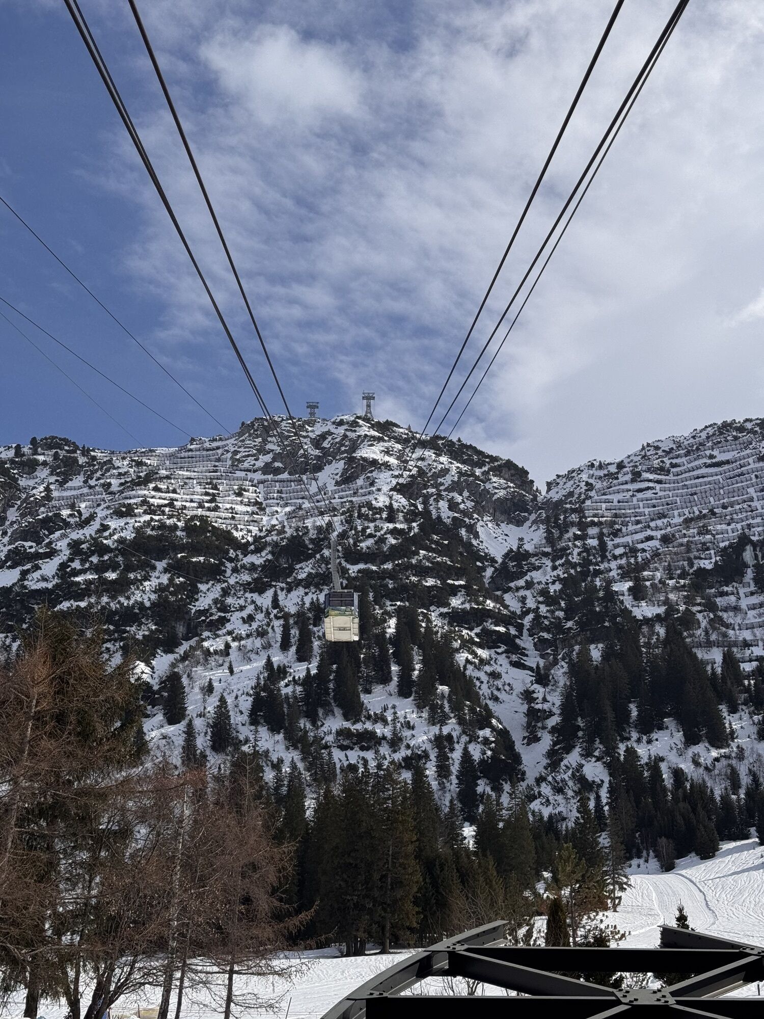
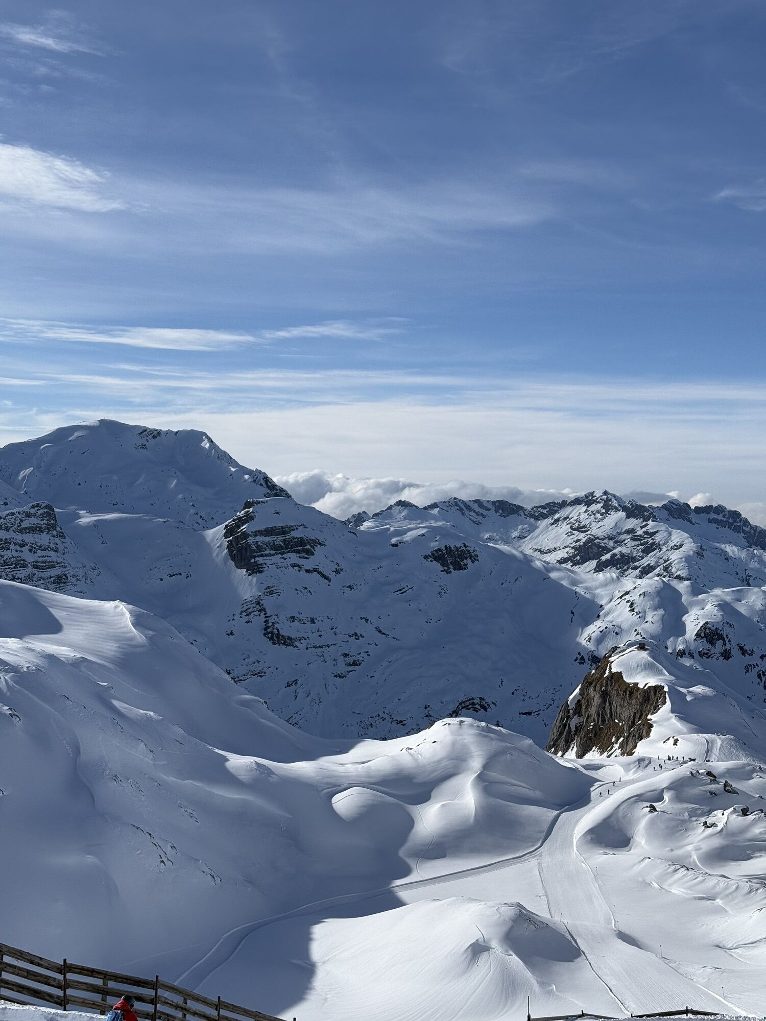
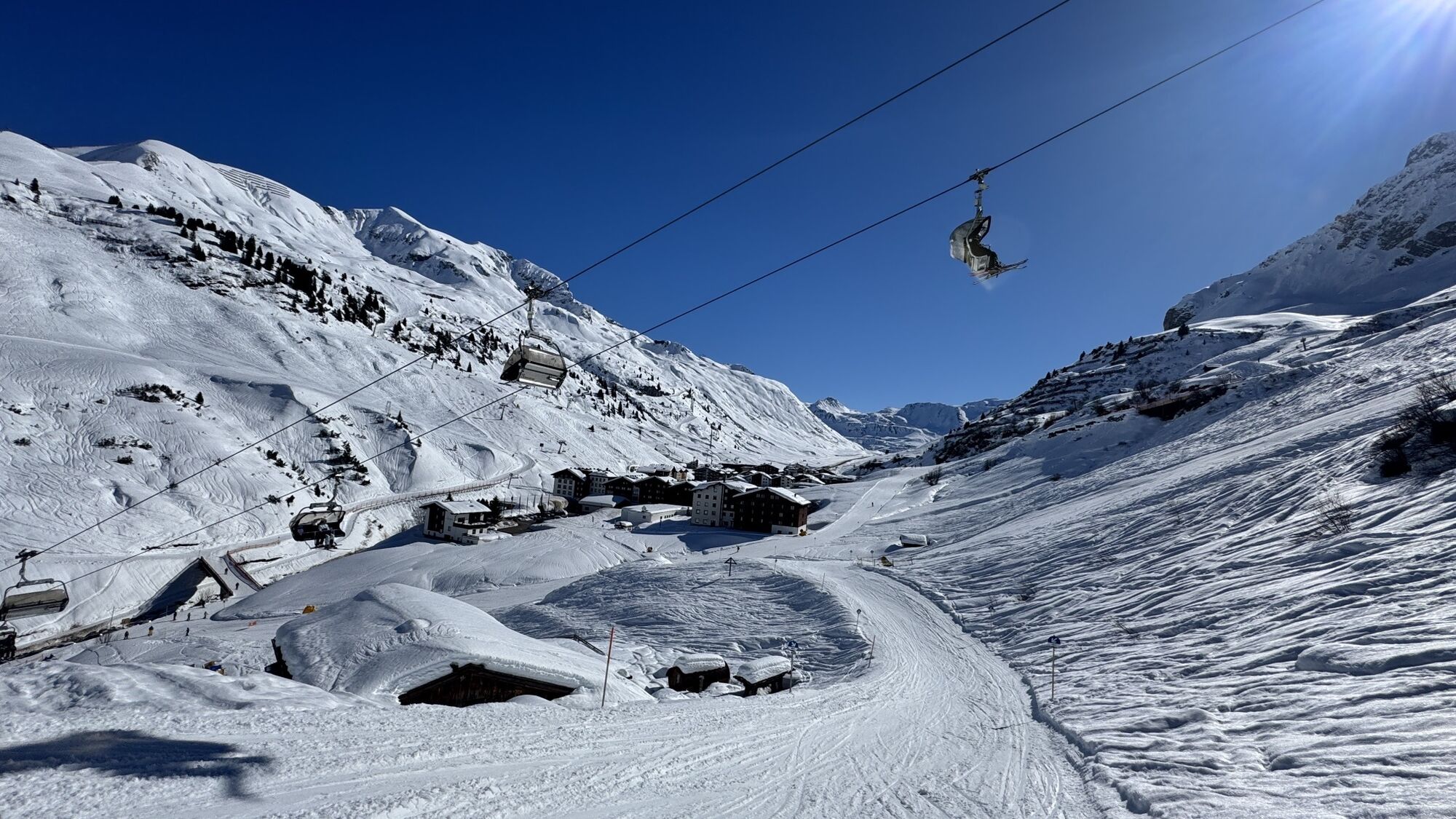
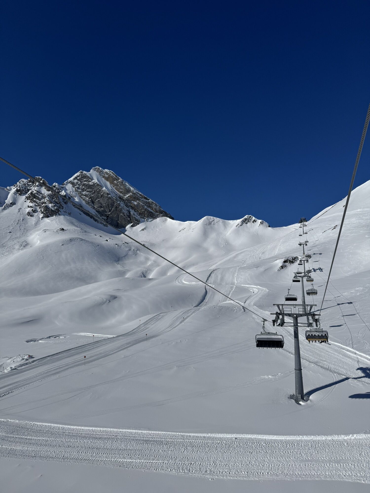
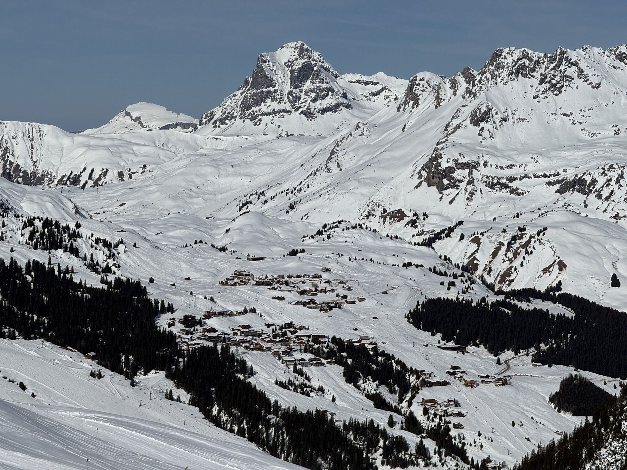
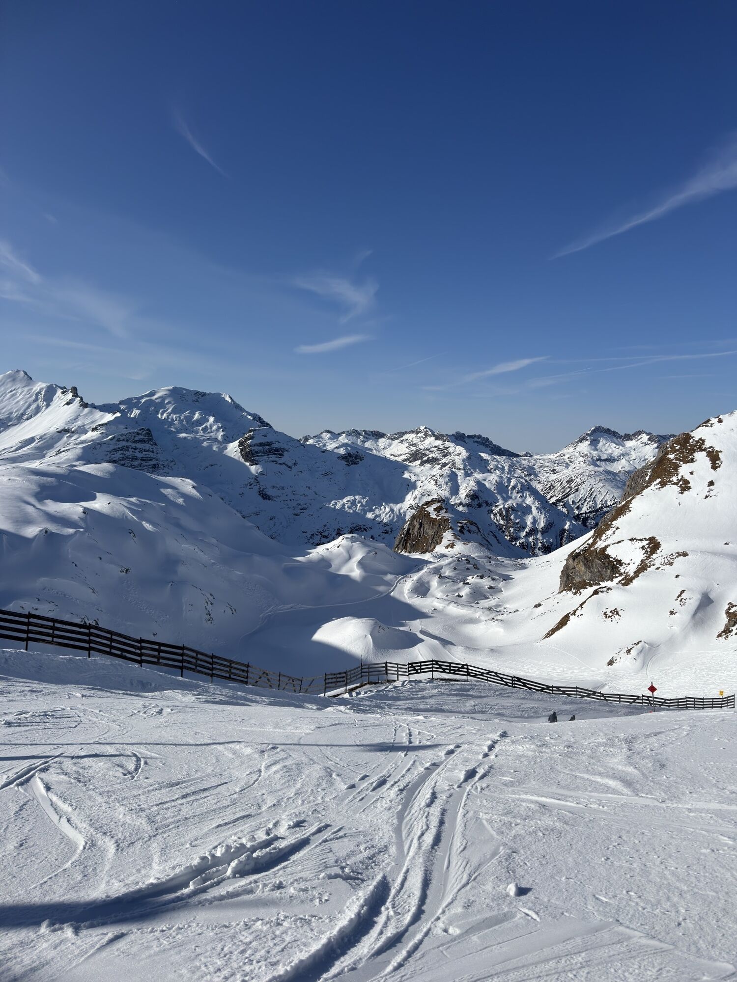
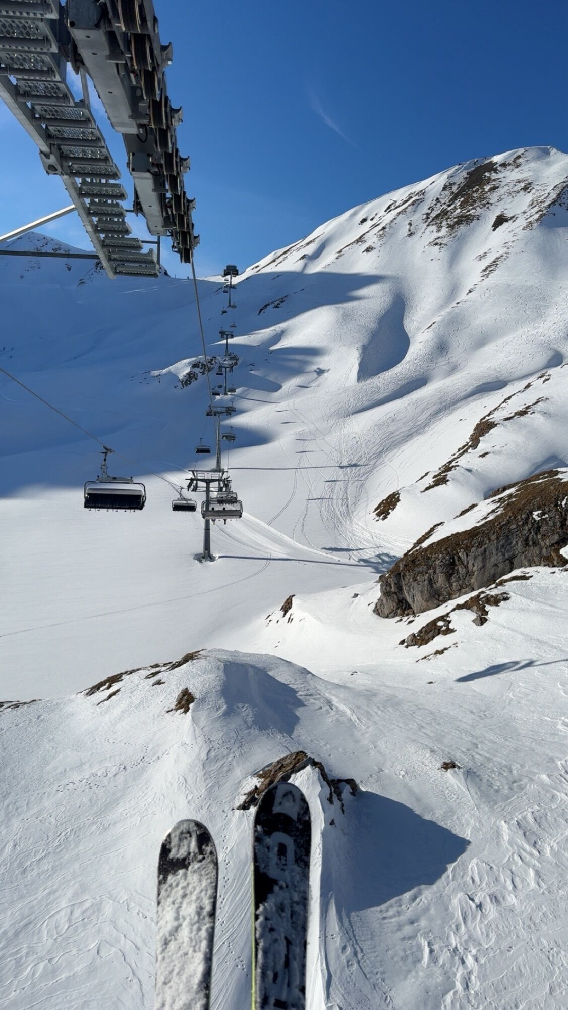
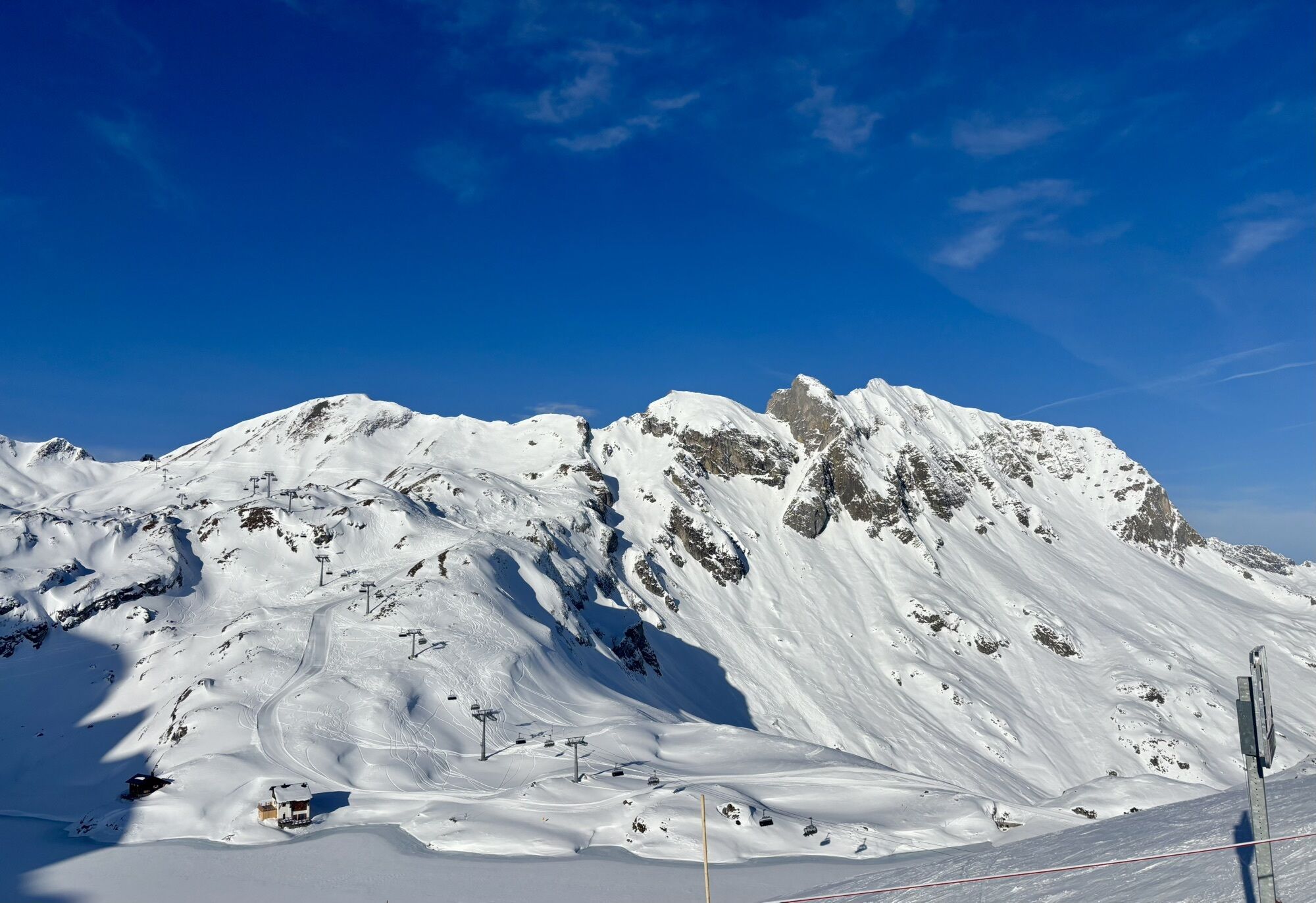
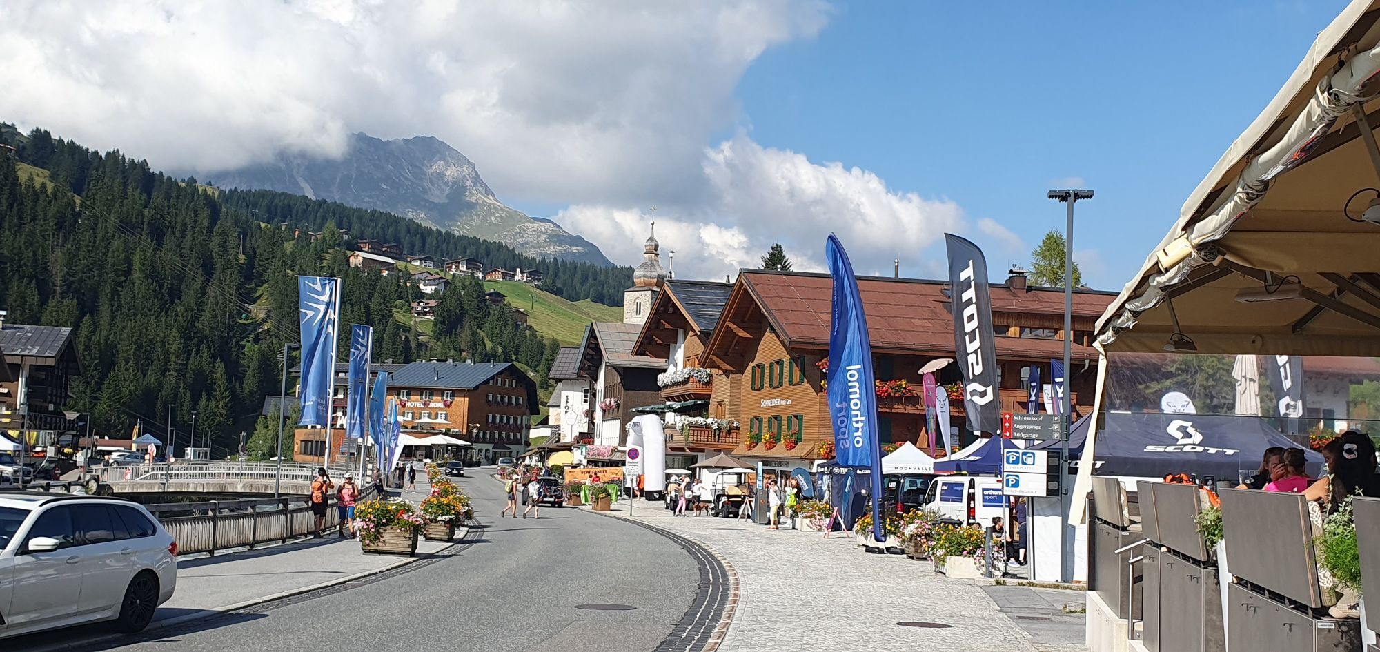
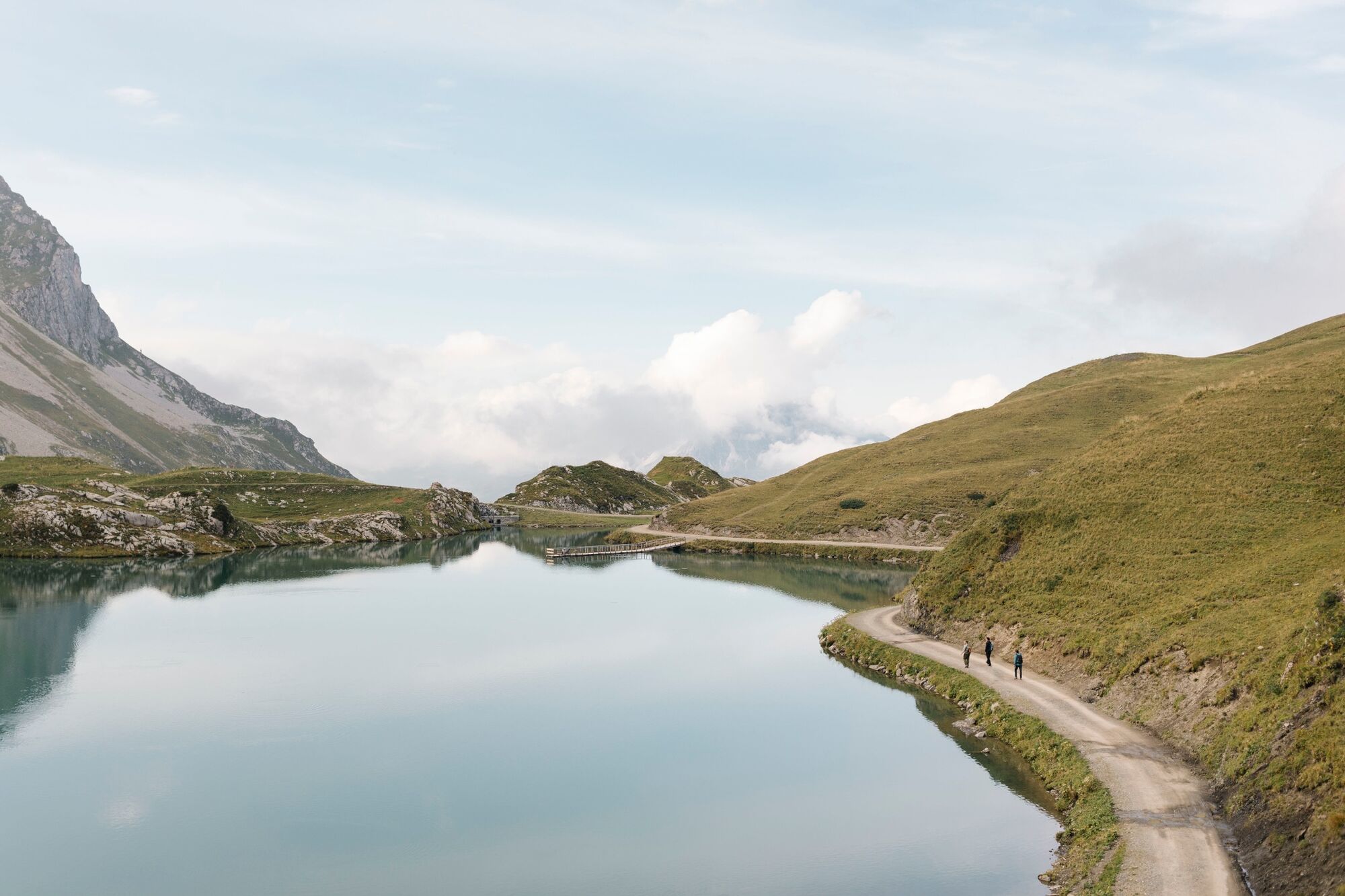
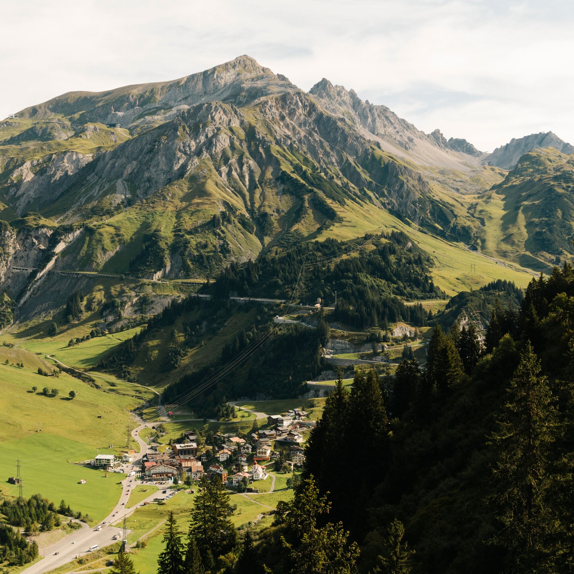
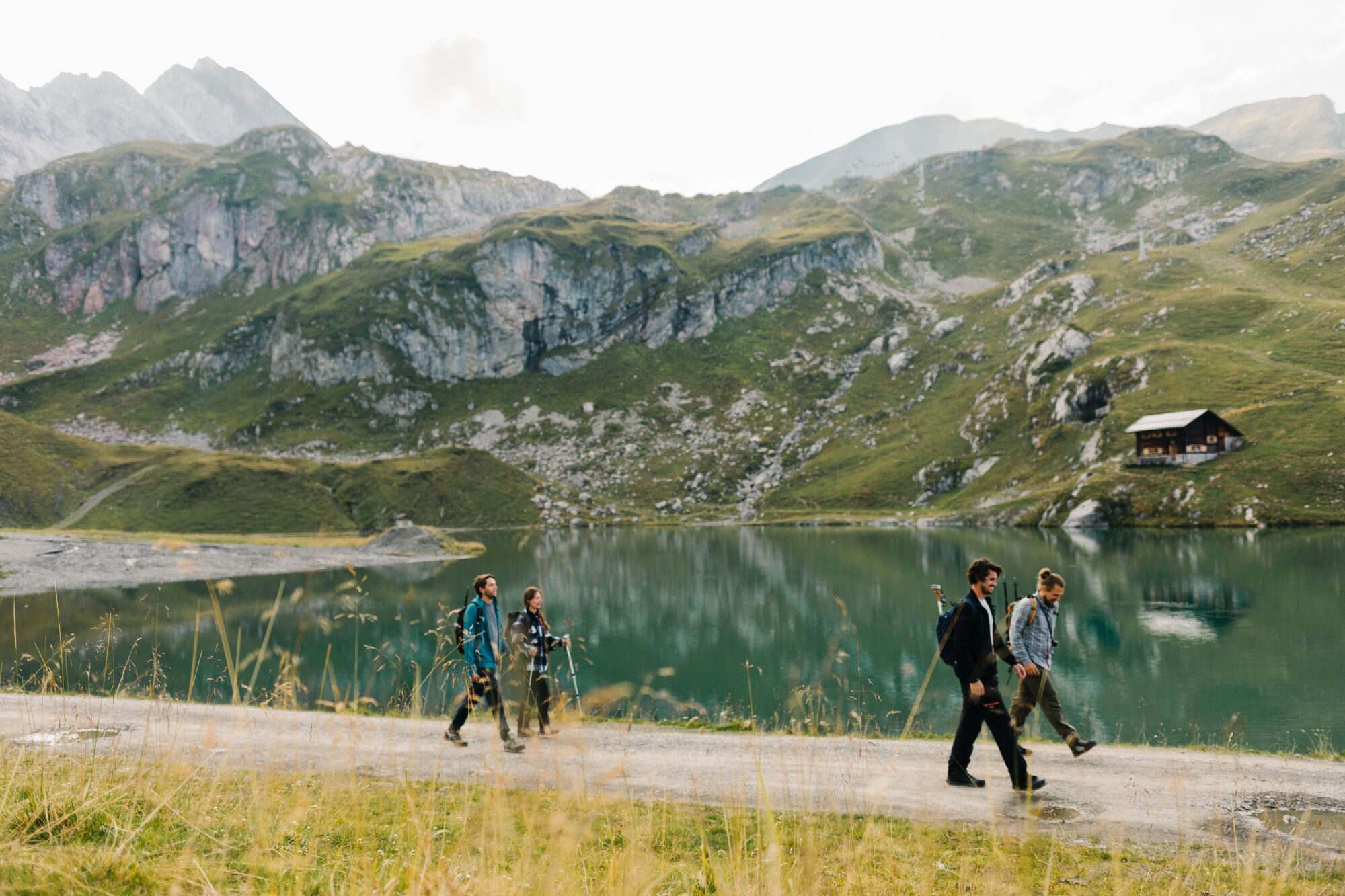
The stretch between Stuben and Lech is probably the easiest section of the route; it offers stunning views of the Flexengalerie and the Lake Zürs, and is rewarded at the end by the arrival in Lech am Arlberg.


Sturdy footwear (ankle-high, with a treaded sole), rainwear, an Arlberg Trail ticket and a bus timetable.
140 Alpine Emergencies Austria-wide
144 Alpine Notfälle Vorarlberg
112 Euo emergency call (works with any mobile phone/network)
From Switzerland: Take the A13 and cross the border at Feldkirch, Hohenems or Lustenau onto the A14 to Bludenz. Continue on the S16 to the Lech Zürs am Arlberg exit. Follow the B197 to Stuben am Arlberg.
From Austria: Take the A12 Inntal motorway and continue on the S16 to the St. Anton am Arlberg (Arlberg Pass) exit. Follow the B197 first through St. Anton, then through St. Christoph and over the Arlberg Pass to Stuben am Arlberg.
Take the train to Langen am Arlberg or St. Anton am Arlberg station. From there, buses (nos. 750 and 760) run regularly to Stuben am Arlberg.
There is a large car park at the entrance to Stuben am Arlberg.
T2
Special features: The route from Stuben follows the Franz-Josef-Weg, offering impressive views of the Flexen Gallery. At 2,160 m, the footbridge jutting out into the water is a wonderful spot to relax. The European watershed is located directly at the Flexen Pass.
Alternative route: Stuben – Flexen Pass – down the valley along the Zürsbach stream – Lech am Arlberg
Places to stop for refreshments: Hotel Enzian in Zürs, Seekopf Restaurant and restaurants in Lech am Arlberg
Lifts required: The Seekopfbahn saves you a 500-metre climb. The ride is included with the Arlberg Trail Ticket.

Webcams de la tournée
Valluga
Flühenlift
Oberlech
Zürs - Trittkopf Bergstation
Zürs - Seekopf
Lech am Arlberg - Hotel Goldener Berg Oberlech
St. Christoph
Lech am Arlberg - Pension Bergland
Lech am Arlberg - Kriegerhornbahn
Stuben am Arlberg - Ortsblick
Galzig - St. Anton Ost
Zug
Lech am Arlberg
Oberlech - Pension Bergland
Lech - Wöstersattel
Stuben
Schmelzhof
Chalet Anna Maria
Lech Rüfikopf
Obtenez un aperçu Toujours en direct avec plus de 9.500 webcams. En tant qu'utilisateur Pro, vous pouvez désormais voir les webcams correspondantes à de nombreuses randonnées dans l'application de randonnées de bergfex. Vous pouvez ainsi voir directement les conditions actuelles.Parcours populaires à proximité
- 4,4
Parcours circulaire à travers la vallée de Bärgunt
moyenRandonnée 4,75 km - 4,7
Widderstein Runde von Baad
moyenRandonnée 15,8 km - 4,8
Biberkopf
difficileRandonnée 7,70 km - 4,6
Kristberg - Wasserstubental - Silbertal
facileRandonnée 13,8 km - 4,3
Parcours circulaire dans la vallée de Derra
moyenRandonnée 8,11 km - 4,8
Parcours circulaire dans la vallée de Gemsteltal
facileRandonnée 5,53 km - 4,4
St Anton zur Darmstädter Hütte
difficileVTT 28,4 km - 3,3
Dalaas - Freiburgerhütte
moyenRandonnée 8,40 km - 4,0
Stuben - Stubner See - Kaltenberghütte - Stuben
moyenRandonnée 9,90 km - 4,9
Braunarlspitze
difficileRandonnée 16,6 km
Randonnée et suivi


Ne manquez pas les offres et l'inspiration pour vos prochaines vacances
Votre adresse électronique a été ajouté à la liste de diffusion.





