







Parcours circulaire dans la vallée de Derra

Niveau de difficulté: T2
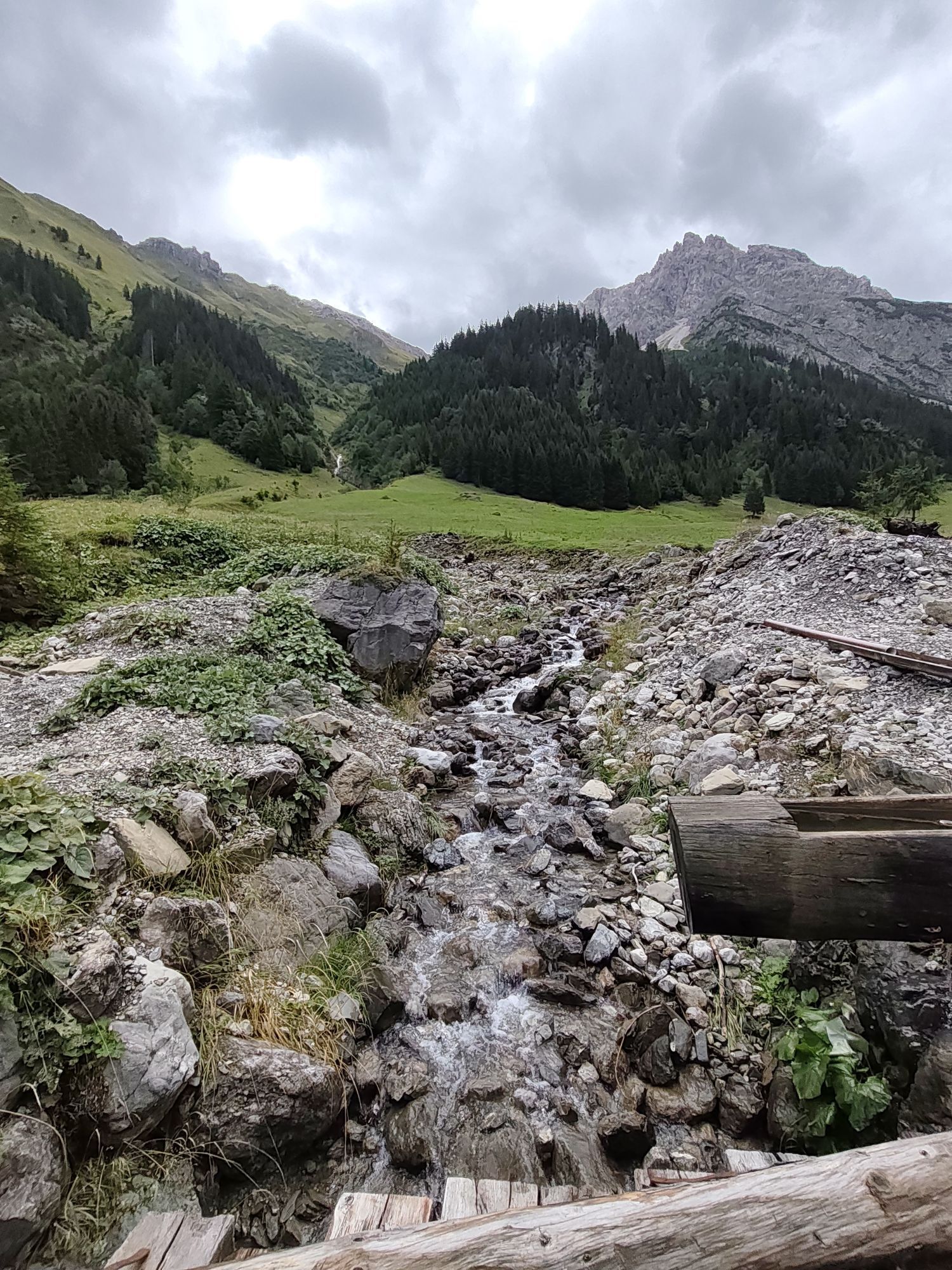
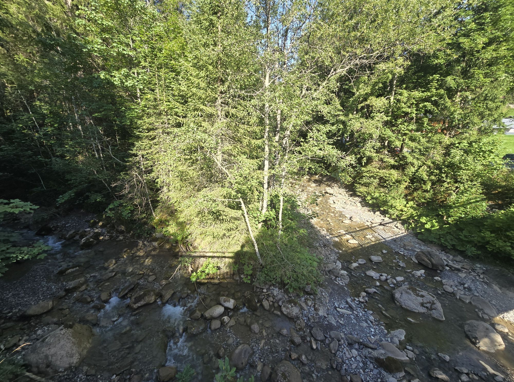
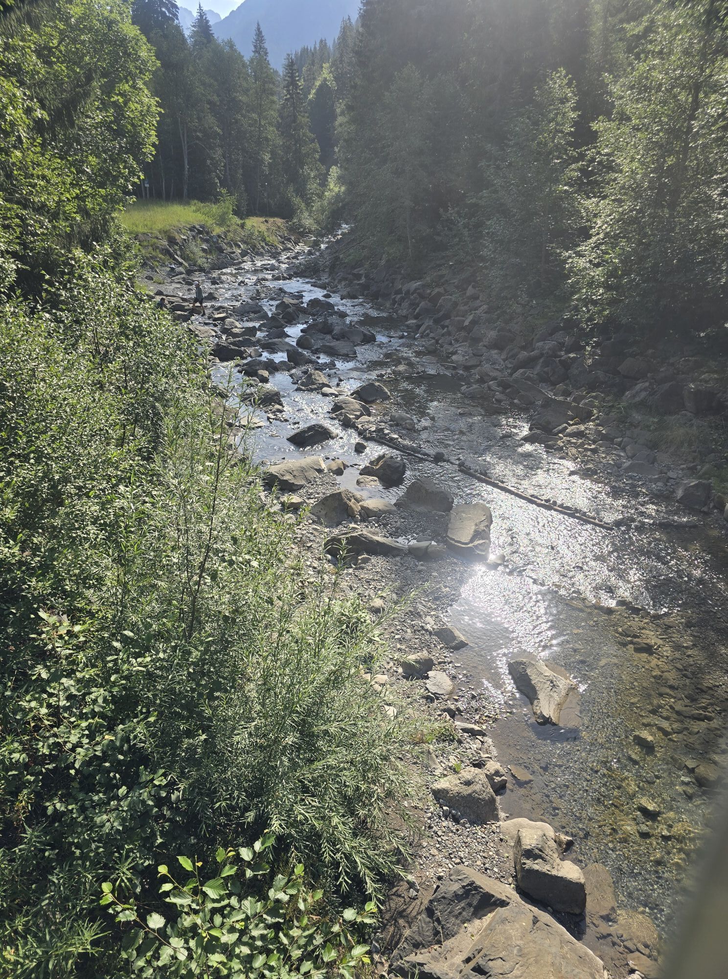
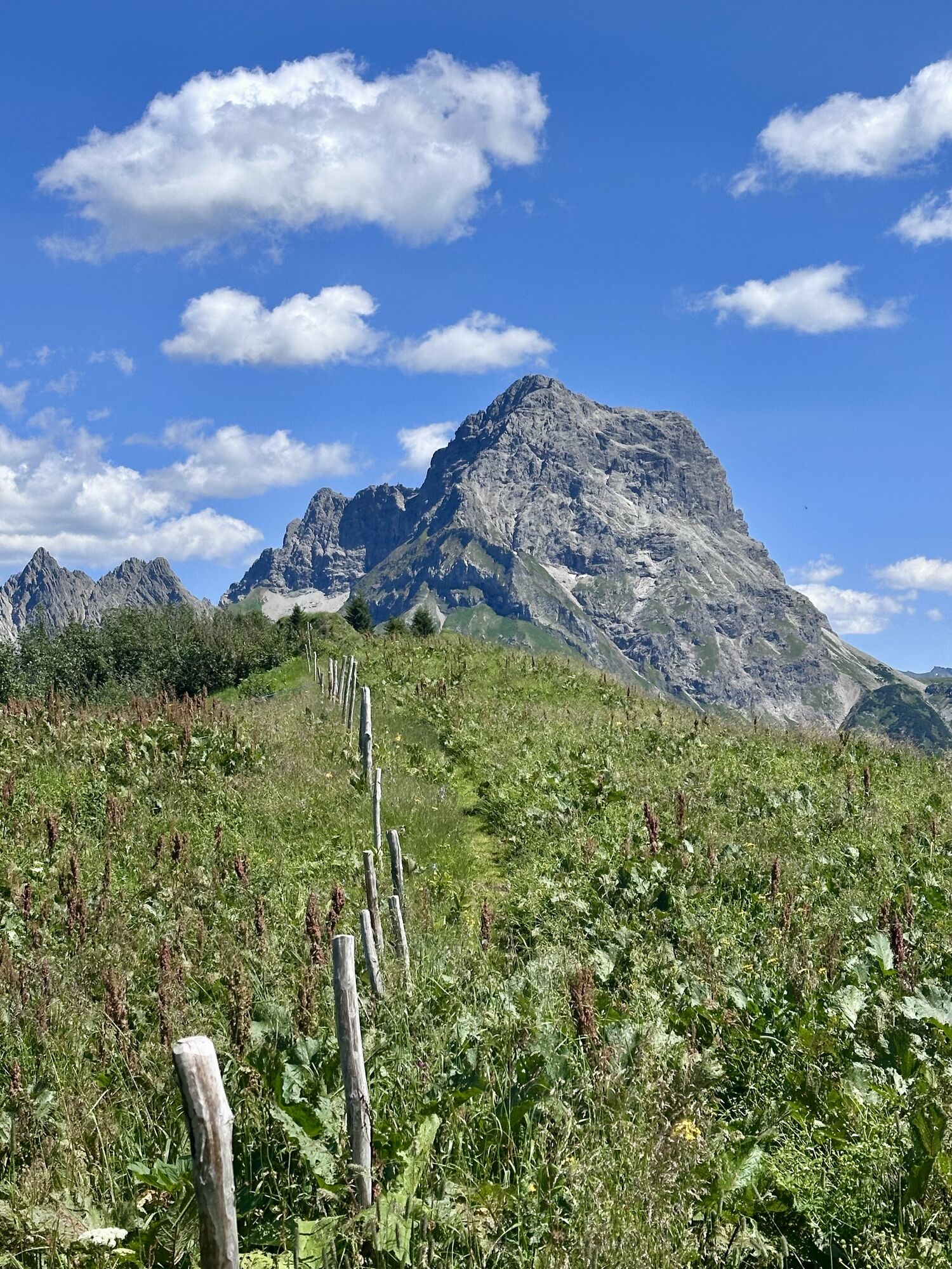
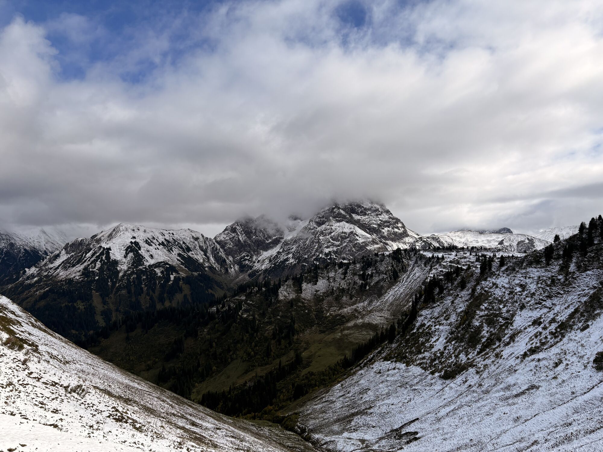

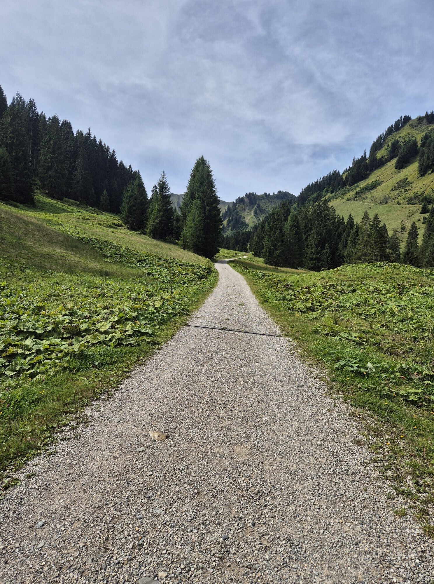
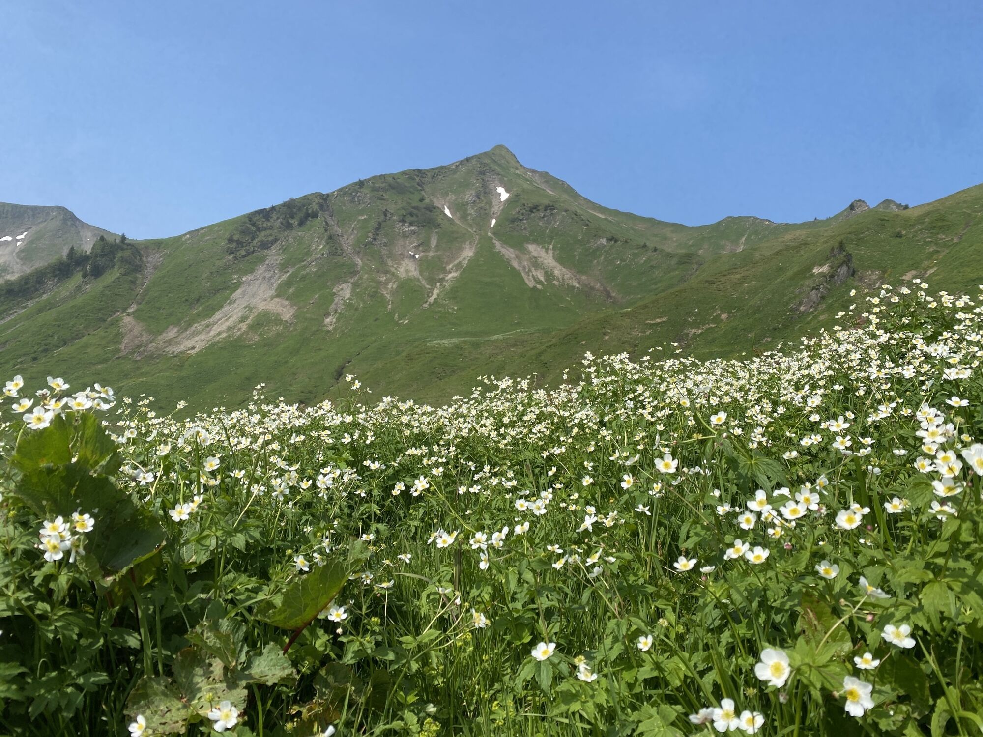
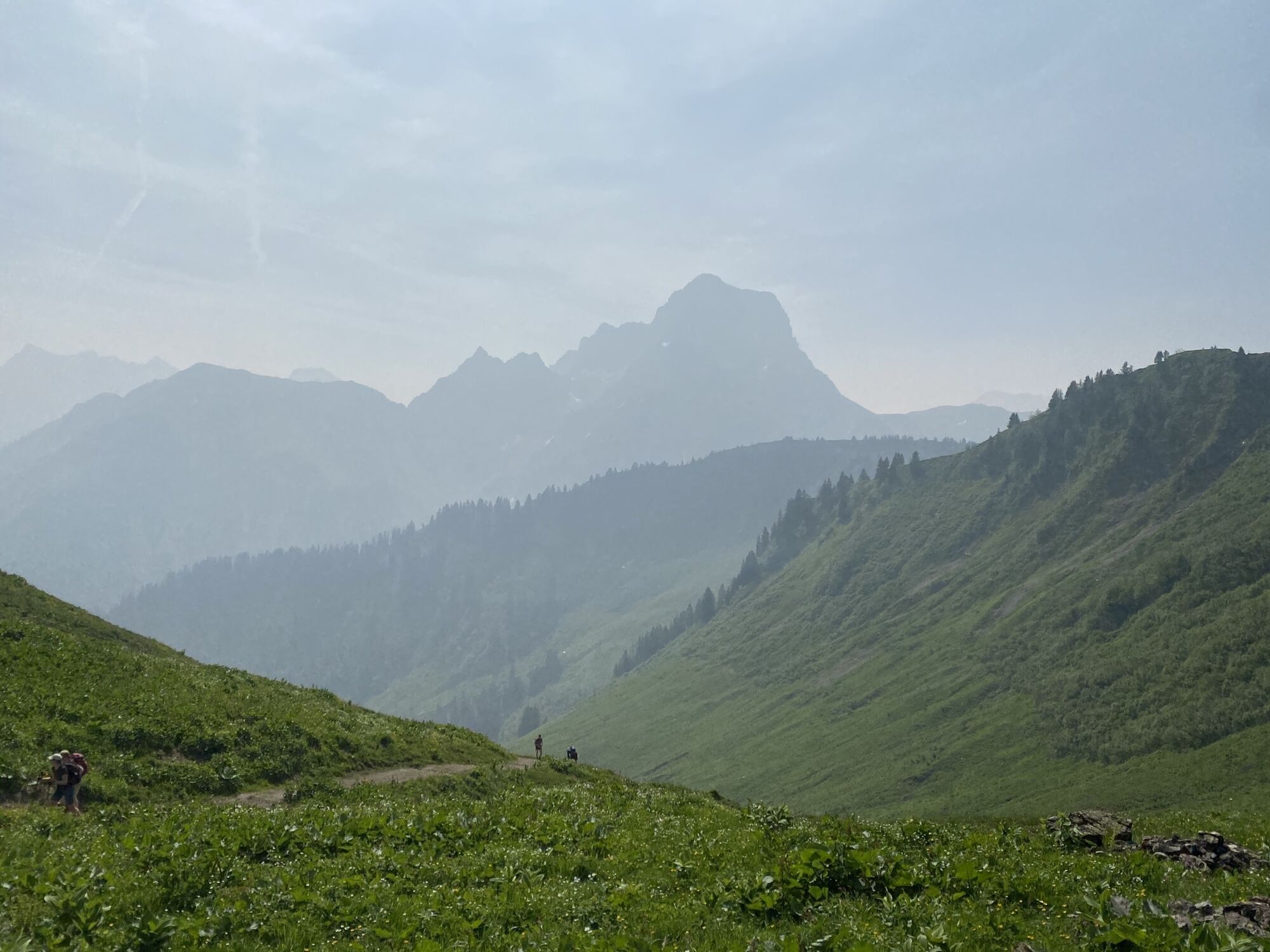
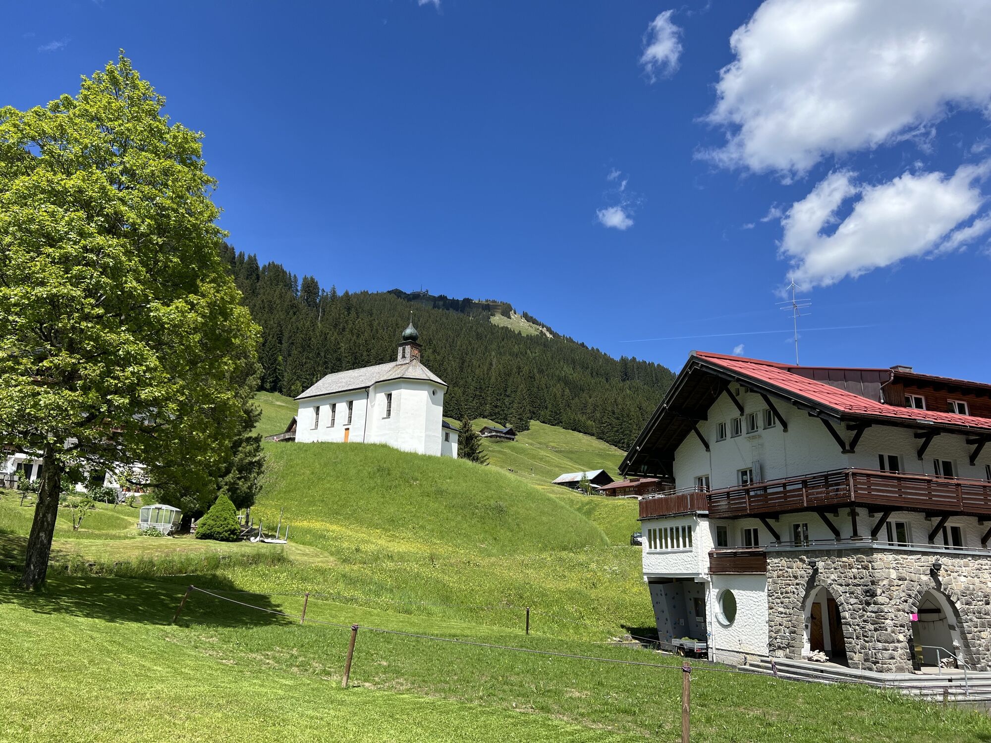
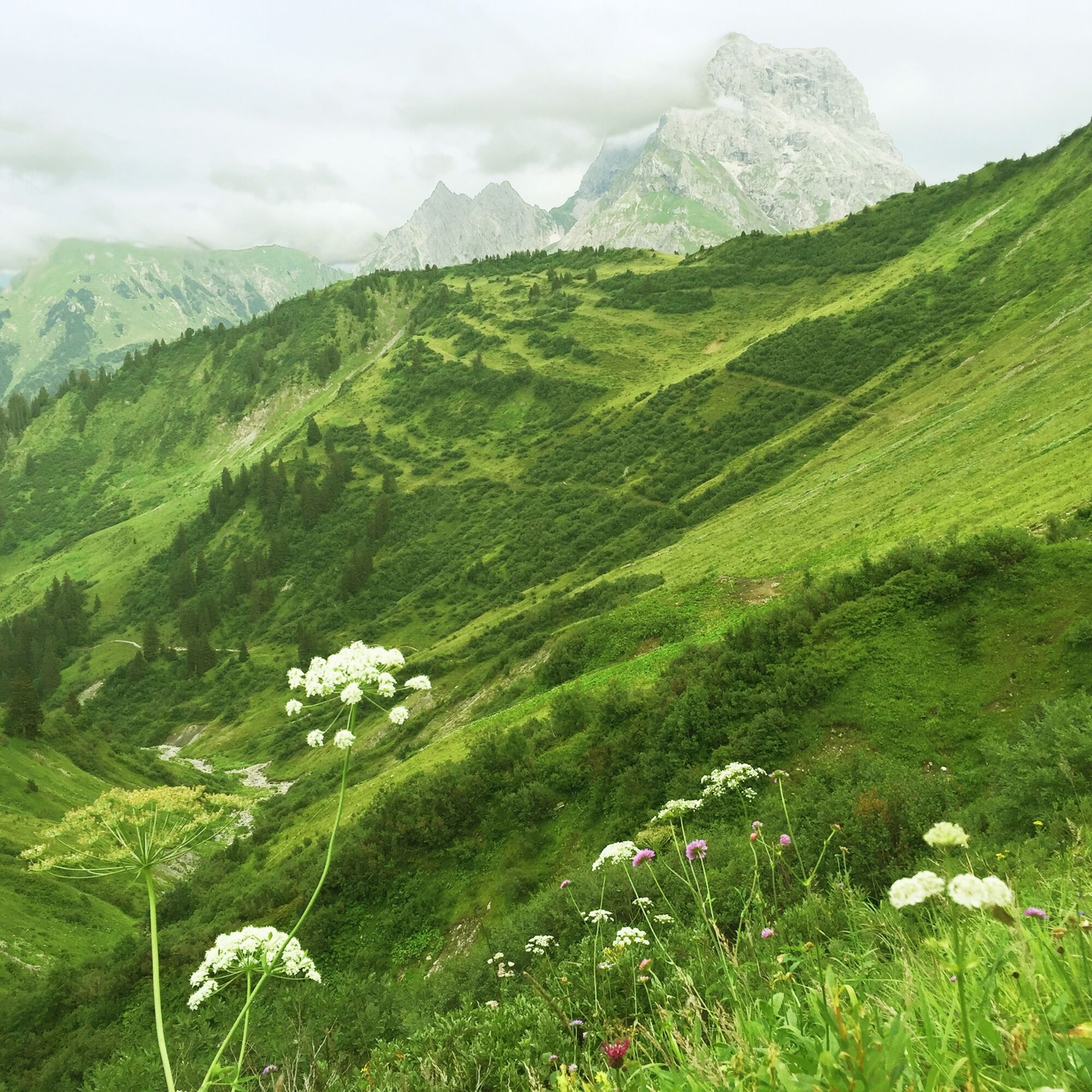
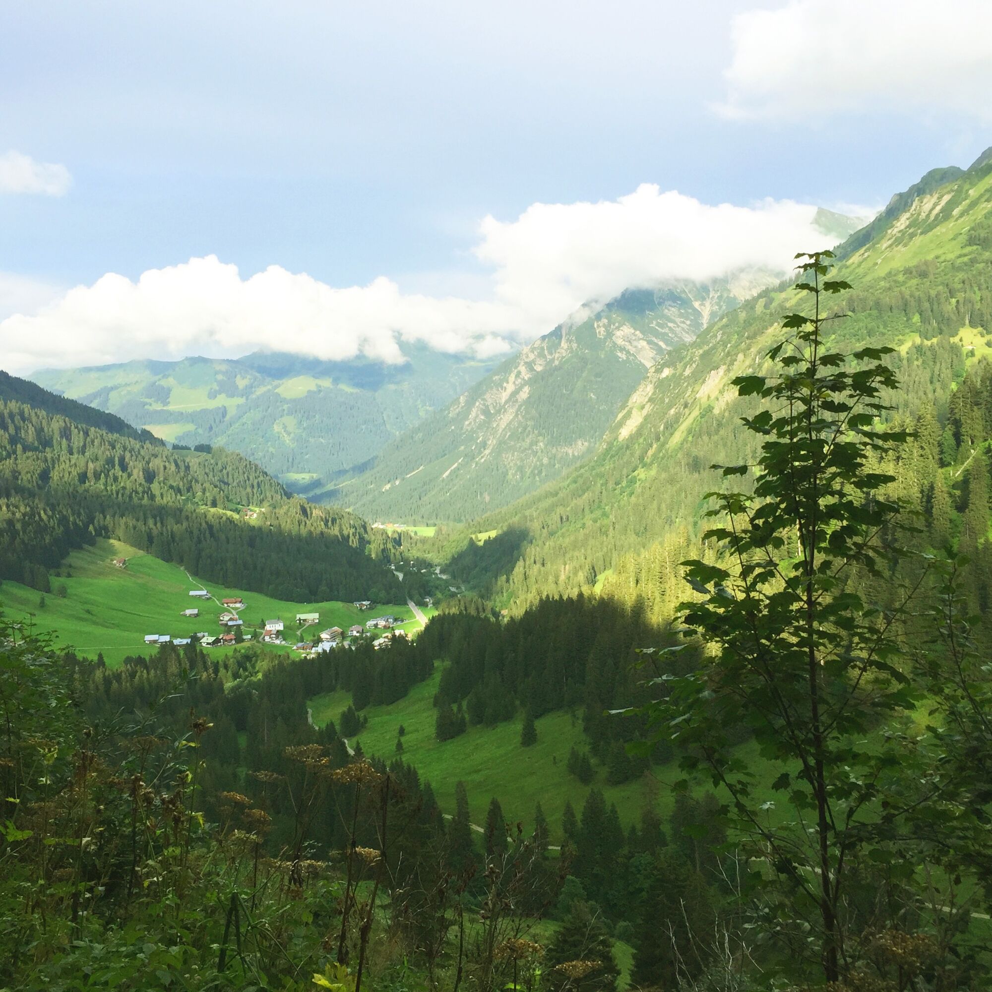
Ce parcours circulaire de difficulté moyenne mène de Baad à travers la tranquille vallée de Derra, dominée par ses pâturages et considérée comme la vallée la plus verte du Kleinwalsertal. Au pied de la...
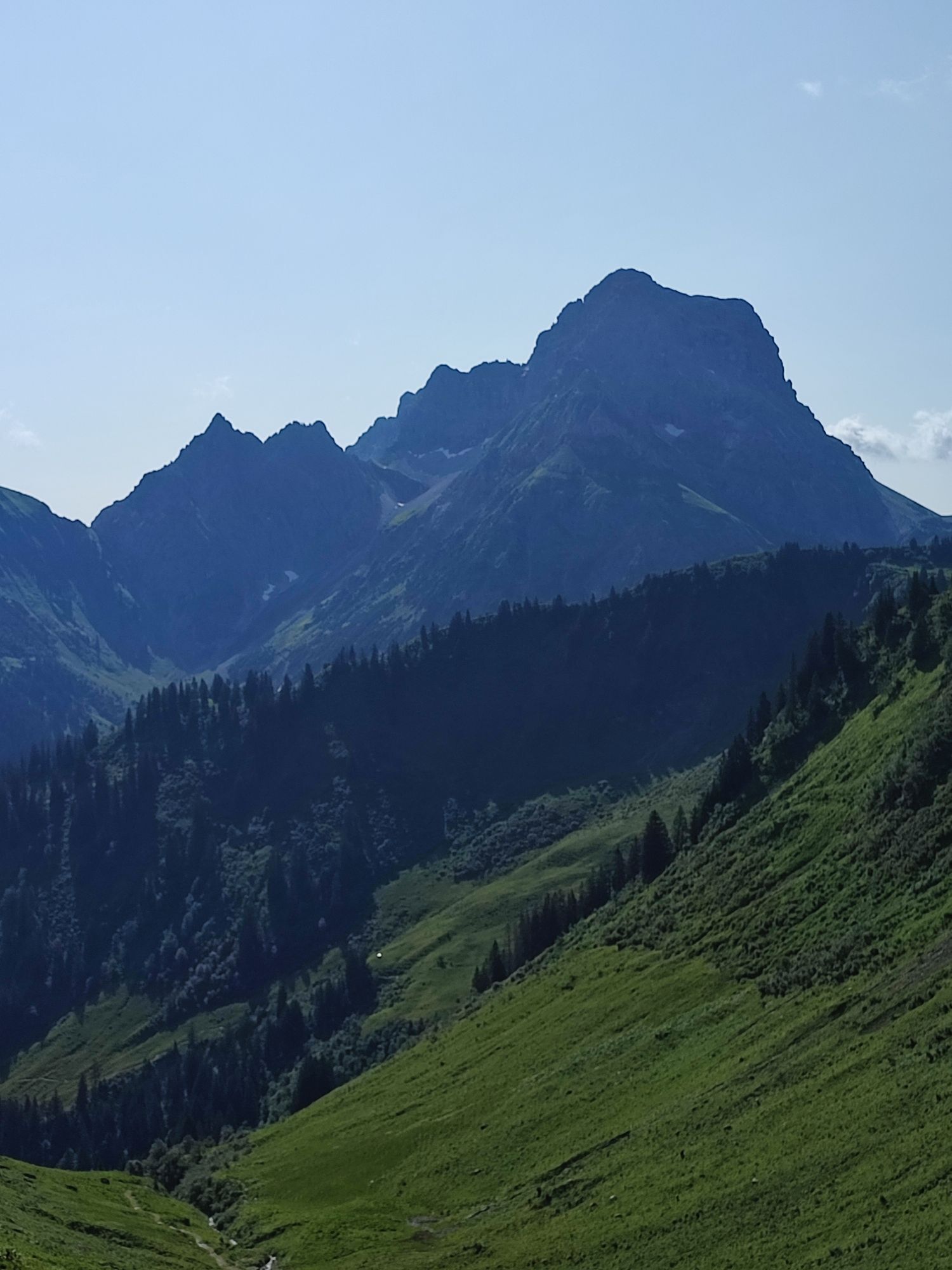
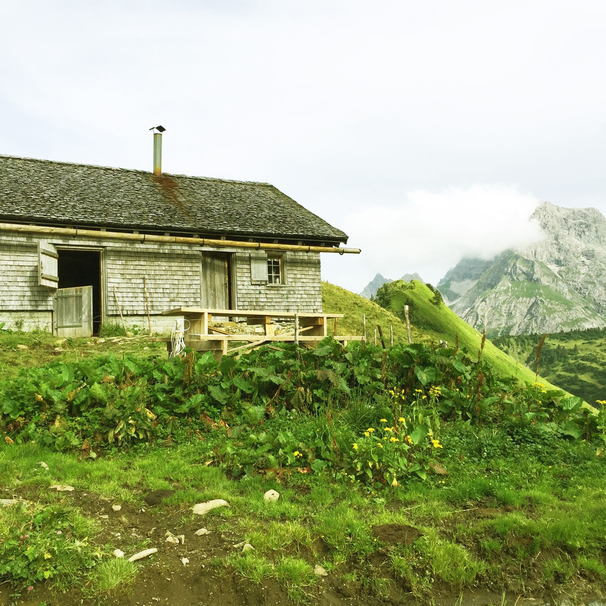
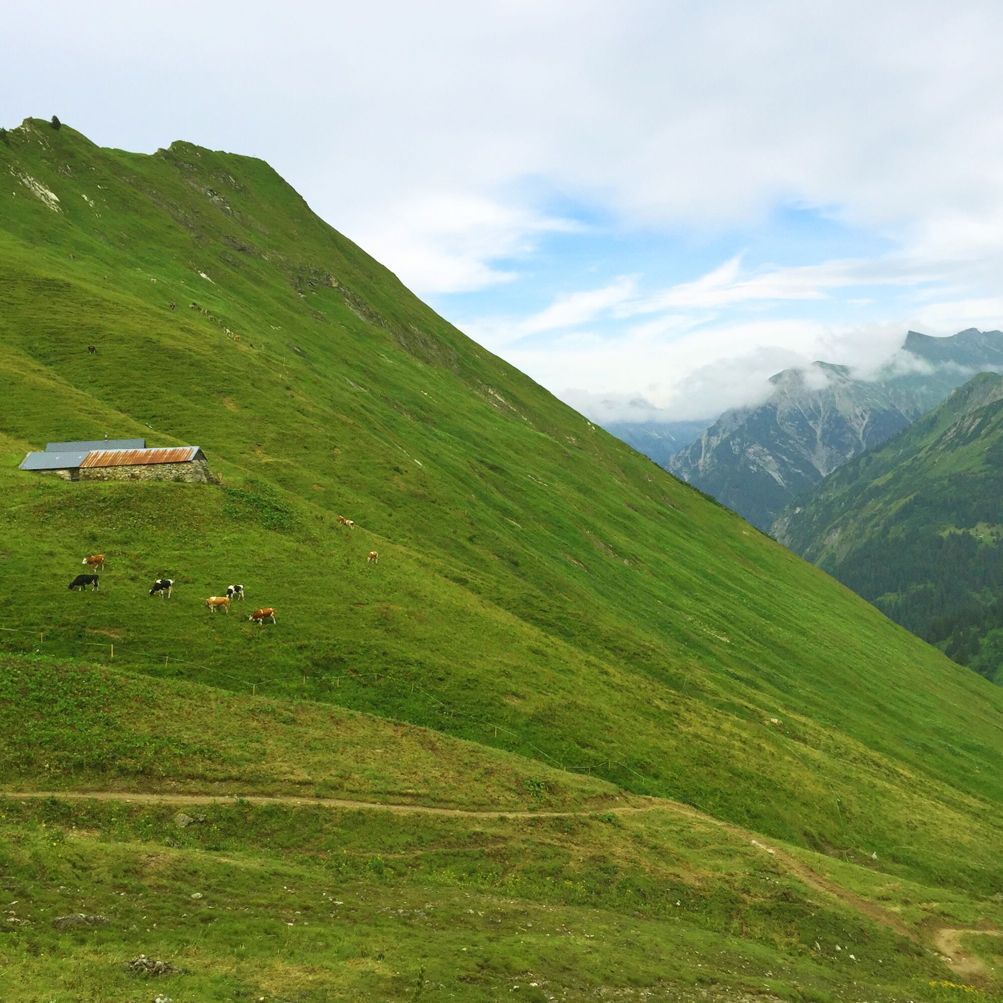
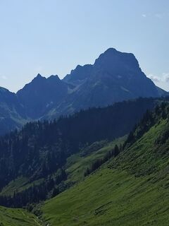
Ce parcours circulaire de difficulté moyenne mène de Baad à travers la tranquille vallée de Derra, dominée par ses pâturages et considérée comme la vallée la plus verte du Kleinwalsertal. Au pied de la Güntlespitze, le sentier grimpe jusqu'à l'alpage non exploité de Derrenalpe, point culminant de la randonnée. Ensuite, le sentier passe sous l'Unspitze puis descend en de nombreux lacets vers la Spitalalpe supérieure, avant d'arriver à la Spitalalpe médiane qui est exploitée. Cette section traverse les pâturages où paissent pendant l'été alpin le bétail des alpages Spital. Depuis la Spitalalpe médiane, on bénéficie d'une vue particulière sur le massif rocheux du Widderstein dans la vallée voisine de Bärgunt. De la Spitalalpe médiane, le sentier remonte modérément à travers un long bois pour retourner à Baad.

Baad - Derratal - Derrenalpe - Obere Spitalalpe - Mittlere Spitalalpe - Baad
Oui
Vêtements adaptés à la météo et chaussures solides. Bâtons de randonnée recommandés pour les sections plus raides.
144 secours alpins Vorarlberg
112 appel d'urgence européen (fonctionne avec n'importe quel téléphone/réseau)
La plupart des itinéraires depuis l'Allemagne convergent à Ulm et continuent sur l'A7. À l'échangeur autoroutier Allgäu, prenez une section de l'A980 jusqu'à la sortie Waltenhofen, puis la B19 à quatre voies via Sonthofen et Oberstdorf vers le Kleinwalsertal. Depuis l'Autriche (Vorarlberg) et la Suisse, on accède au Kleinwalsertal via le Bregenzerwald (Hittisau) – col de Riedberg – Fischen – Oberstdorf. Depuis le Tyrol, l'itinéraire le plus rapide passe par l'A7 vers Kempten et continue sur la B19 en direction d'Oberstdorf. Aucun autocollant autoroutier n'est nécessaire pour la descente dans la vallée.
Point de départ du parcours : Ligne Walserbus 1, arrêt de bus Baad
Parkings payants au parking de randonnée Baad
T2
Nature is so much more than the backdrop for unforgettable mountain experiences. It is a habitat for animals and plants. It provides drinking water and supplies us with high quality food. Not only does it provide valuable raw materials such as wood, it also protects against avalanches and mudslides and regulates the climate. It is up to us to support nature in everything that it does for us. One thing is certain, together we can achieve more:
Smart in NATURE
CONSCIOUS together
EXPERIENCE foresight
Smart in NATURE
Take a deep breath and recharge your batteries, be outside and feel free. When we enjoy nature, we are guests in the living room of shy animals and rare plants. If you behave smart, they will be happy to share their living space with you in the future too.
Stay on paths and marked routes
If you follow the marked paths and routes, you are sure to come to new favorite places. In this way you also respect protected areas, because many animals and plants need special protection. Especially in winter, any disturbance unnecessarily costs the wild animals the strength they need to survive.
Avoiding twilight times
Standing on a mountain at sunrise is a special experience. The morning and evening hours are also the time when most wild animals are in search of food. If they are disturbed, they get stressed. If it cannot be avoided, please stay on the marked path, do not use a bright headlamp and enjoy the silence.
Stay clean & take rubbish with you
It goes without saying: You take rubbish with you again, on the mountain and in the valley. Please also organic waste, because it is composted much more slowly at altitude. You can dispose of the rubbish properly at home or in your accommodation - please remember that there are no rubbish bins in public spaces in Kleinwalsertal.
On the natural toilet
If you are looking for a quiet place, please be at least 50 m away from water. Bury excrement or cover it with a large stone. Use fallen leaves or recycled toilet paper and put the paper back in the trash bag.
On tour with a dog
Are you always in control of your four-legged partner, even if he gets his nose for marmots, deer or other wild animals? You are both on the safe side on a leash. Keep dogs on a short leash near grazing cattle. If an attack by a grazing animal is foreseeable: leash off immediately. There are numerous dog stations in the valley for the disposal of dog bags. The farmers and alpine farmers thank you because manure in meadows and fields contaminates the feed and makes grazing cattle sick.
CONSCIOUS to each other
Consideration for other athletes and those looking for relaxation
Everyone loves to enjoy a special piece of earth for themselves. But most of the time we are not traveling alone. No problem, because there is enough space. Allow time, open the way in an accommodating manner, provide support when someone needs help and always give a smile. So nothing stands in the way of friendly cooperation and relaxed enjoyment of nature.
Appreciating the preservation of the cultural landscape
Alpine landscapes are touching with their contrast: Imposing peaks and natural forests alternate with gentle valleys, well-tended meadows and pastures. In the Kleinwalsertal too, this delightful landscape at three altitudes is no coincidence, but the result of an interplay of natural and cultural landscapes. Behind this is the work of farmers, alpine and forestry as well as hunters. With their work, they ensure that the attractiveness of the recreation and leisure area and the diversity of species are preserved. We already say thank you if we stay on the marked trails and enjoy regional products.
EXPERIENCE farsighted
Safe on tour - for you and others
Whether on a ski or snowshoe tour in winter or on a mountain tour in summer, anyone who is out and about in alpine terrain has to be well prepared. This includes careful information and tour planning as well as the right equipment. Correctly assessing alpine dangers requires a lot of knowledge and experience. Why not learn from professionals and go on tour with one of the experienced guides?
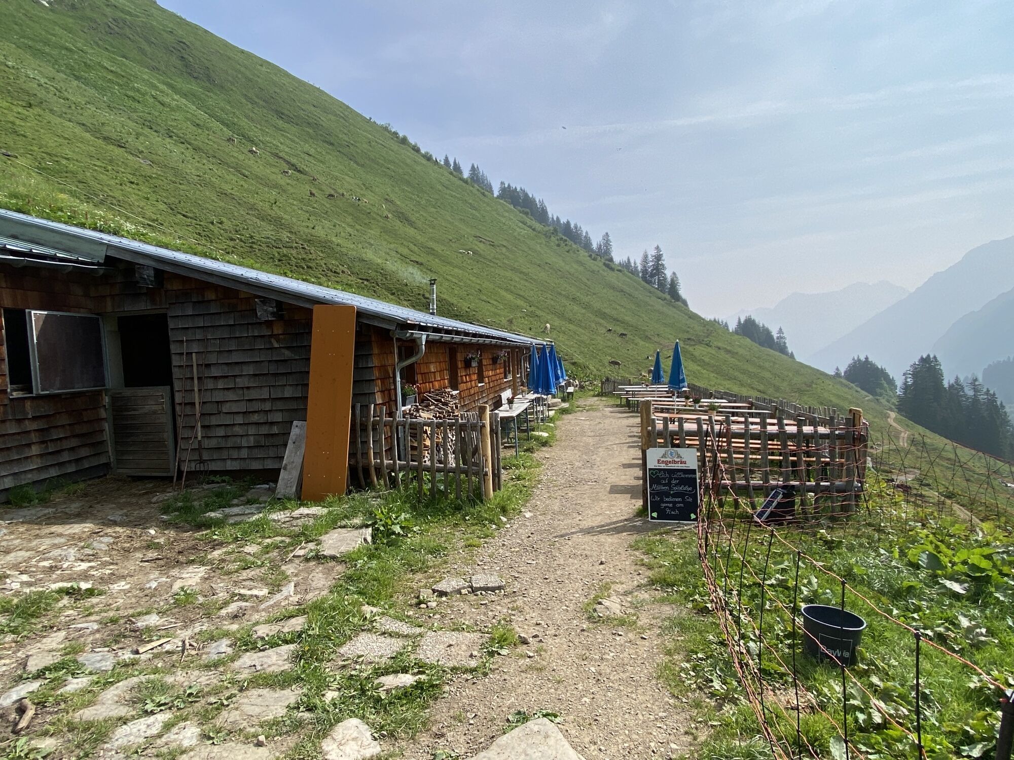
La Mittlere Spitalalpe est idéale pour une halte lors de ce parcours. En été alpin, du lait, du fromage ou du yaourt faits maison y sont proposés.



Webcams de la tournée
-
Zaferna Bergstation
-
Breitenalpe
-
Wildentalhütte
-
Mittelberg - Naturhotel Lärchenhof
-
Mittelberg Bödmen - Hotel Alte Krone
-
Warth-Schröcken - Saloberarena
-
Schröcken
-
Mittelberg - Haus Walser Berge
-
Körbersee
-
Mittelberg - Bergpension Starzelhaus
-
Warth-Schröcken - Widdersteinhütte
-
Mittelberg - Gästehaus Otto Fritz
-
Schröcken - Oberboden
-
Kleinwalsertal - Ifenbahn
-
Warth
-
Kleinwalsertaler Rosenhof
-
Alpenwald
-
Hotel Alpenstüble
-
Mittelberg

Activités le long du parcours
-

Baad, Vorarlberg/Österreich
27.09.2026 – Rafting -

Mittelberg, Vorarlberg/Österreich
04.09.2026 – Randonnée -
Baad, Vorarlberg/Österreich
14.08.2026 – Randonnée -
Baad, Vorarlberg/Österreich
09.08.2026 – Randonnée -

Baad, Vorarlberg/Österreich
07.08.2026 – Randonnée -
Baad, Vorarlberg/Österreich
07.08.2026 – Randonnée -

Kleinwalsertal: Derren Alpe (1.813 m) - Mittlere Spitalalpe (1.555 m)
05.08.2026 – Randonnée -
Durch das Duratal
21.07.2026 – Randonnée d'altitude -
Mittelberg, Vorarlberg/Österreich
06.07.2026 – Randonnée -
Mittelberg, Vorarlberg/Österreich
06.06.2026 – Randonnée -

Mittelberg, Vorarlberg/Österreich
28.05.2026 – Randonnée -

Baad, Vorarlberg/Österreich
04.11.2025 – Randonnée -
Baad, Vorarlberg/Österreich
07.10.2025 – Randonnée -
Baad, Vorarlberg/Österreich
04.10.2025 – Randonnée en montagne -
Baad, Vorarlberg/Österreich
18.09.2025 – Randonnée en montagne -
Baad, Vorarlberg/Österreich
25.07.2024 – Randonnée en montagne
Parcours populaires à proximité
-
4,7
Winterstaude
moyenRandonnée 9,30 km -
4,1
Kanisfluh, 2.044 m
moyenRandonnée 4,41 km -
4,6
Randonnée en montagne sur la crête du Fellhorn
moyenRandonnée 8,24 km -
4,8
Parcours circulaire dans la vallée de Gemsteltal
facileRandonnée 5,53 km -
4,6
Au | Sonnenauf- und Sonnenuntergangswanderung auf die Kanisfluh
moyenRandonnée 5,55 km -
4,1
2-Länder-Panorama-Rundwanderweg Fellhorn/Kanzelwand
facileRandonnée 6,70 km -
4,7
Widderstein Runde von Baad
moyenRandonnée 15,8 km -
4,3
Parcours circulaire à travers la vallée de Bärgunt
moyenRandonnée 4,75 km -
4,8
Biberkopf
difficileRandonnée 7,70 km -
4,5
Ifenhütte, Hahnenköpfle, Gottesacker und zurück
moyenRandonnée 6,08 km
Randonnée et suivi


Ne manquez pas les offres et l'inspiration pour vos prochaines vacances
Votre adresse électronique a été ajouté à la liste de diffusion.





