
Warth | Bike ab Warth
moyen
Télécharge cette visite sur ton portable
Warth | Bike ab Warth
moyen
VTT
11,61
km
Scanner le code QR et commencer la navigation dans l'application bergfex


Randonnée & tracking




Warth | Bike ab Warth
moyen
Distance
11,61
km
Durée
01:55
h
Ascension
275
m
Altitude
1 488 -
1 792
m
Téléchargement de la piste
Warth | Bike ab Warth
moyen
VTT
11,61
km
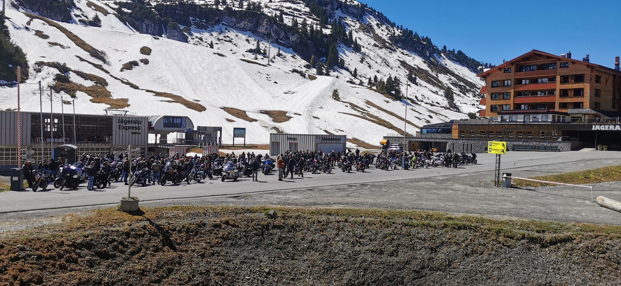
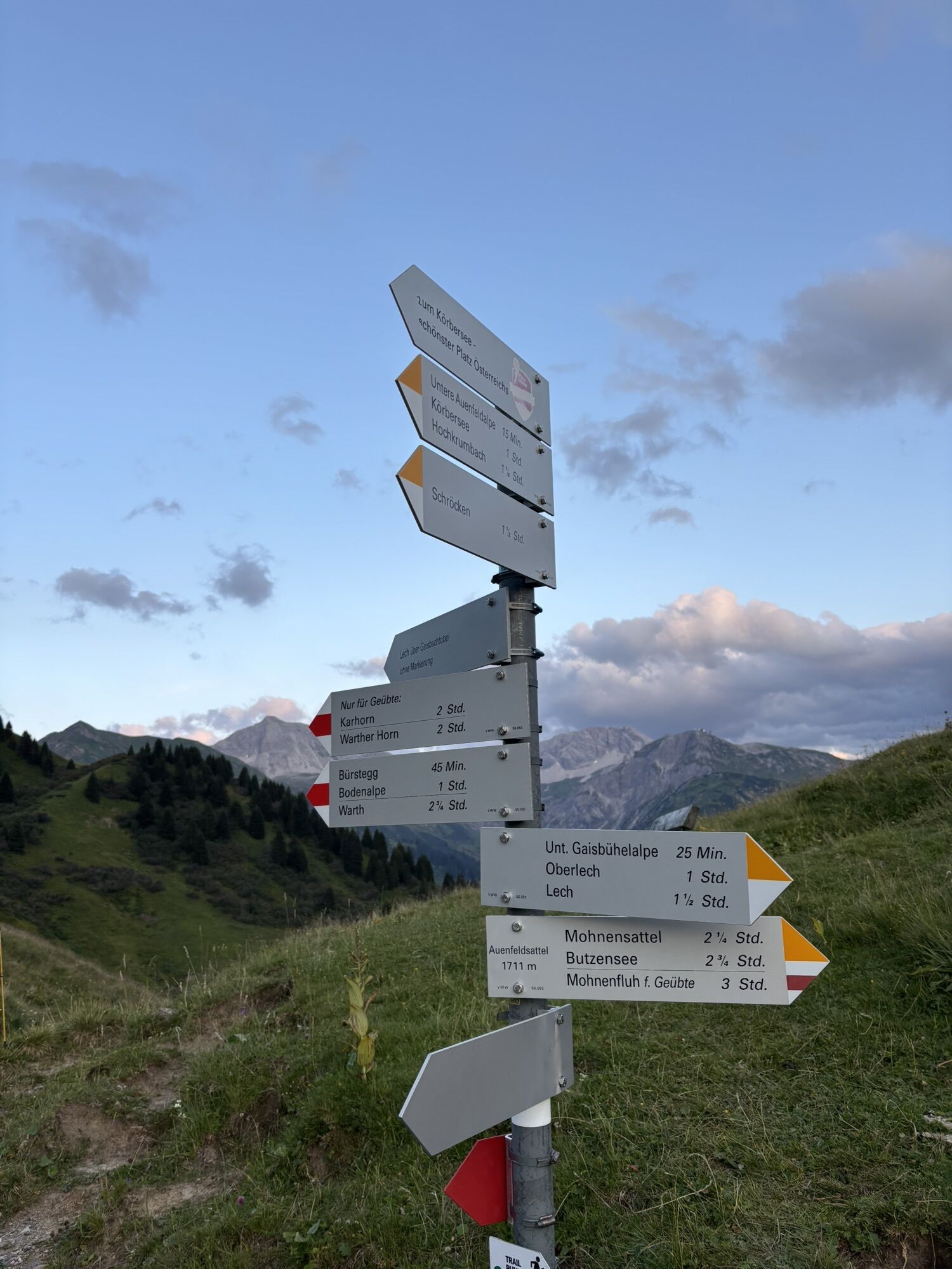
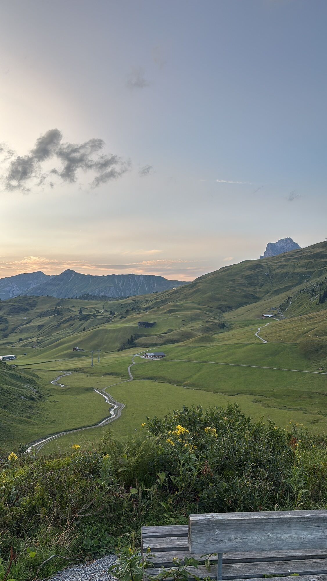
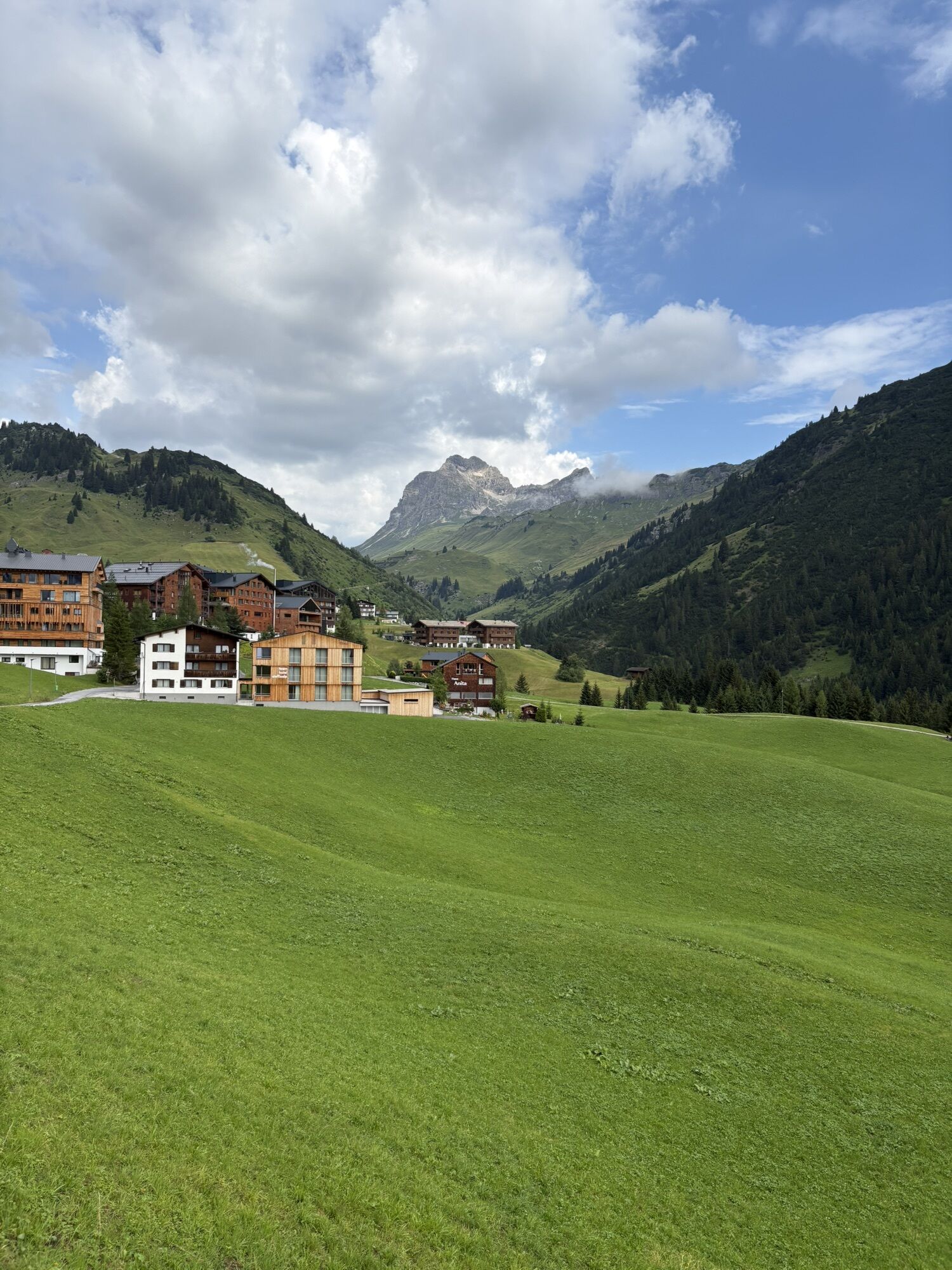
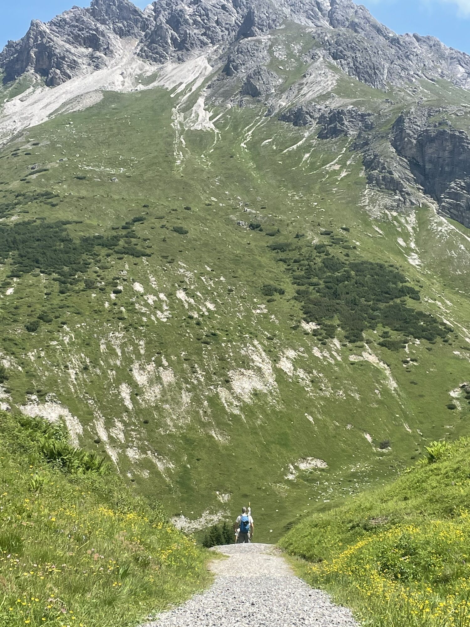
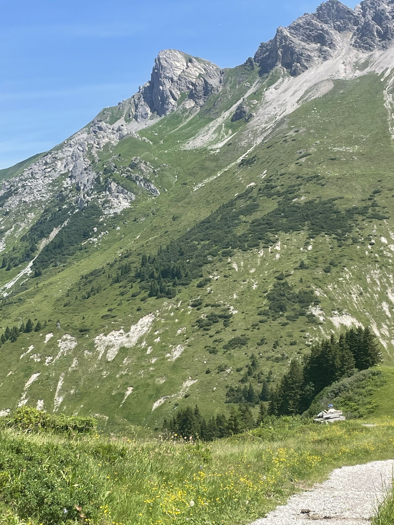
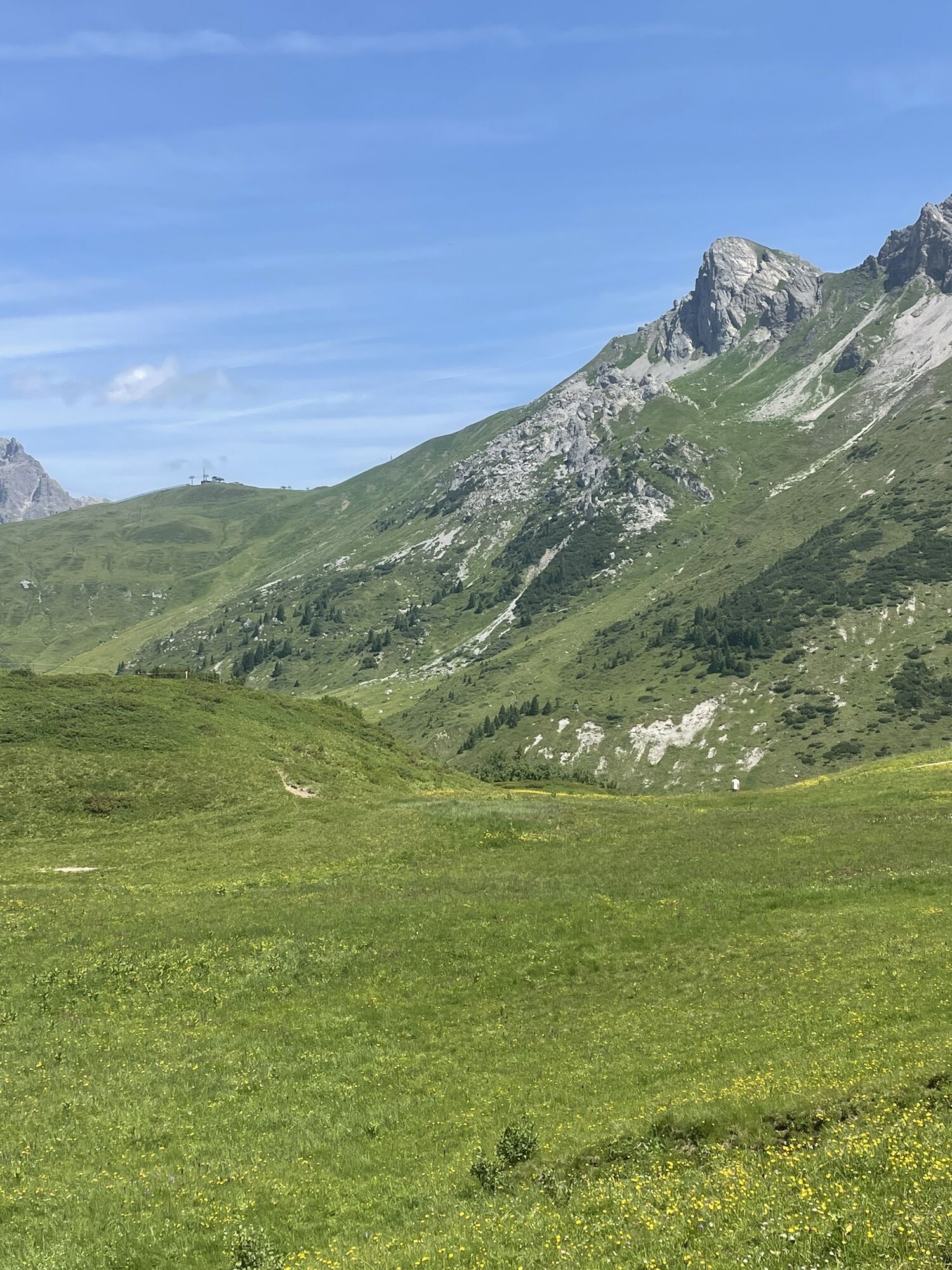
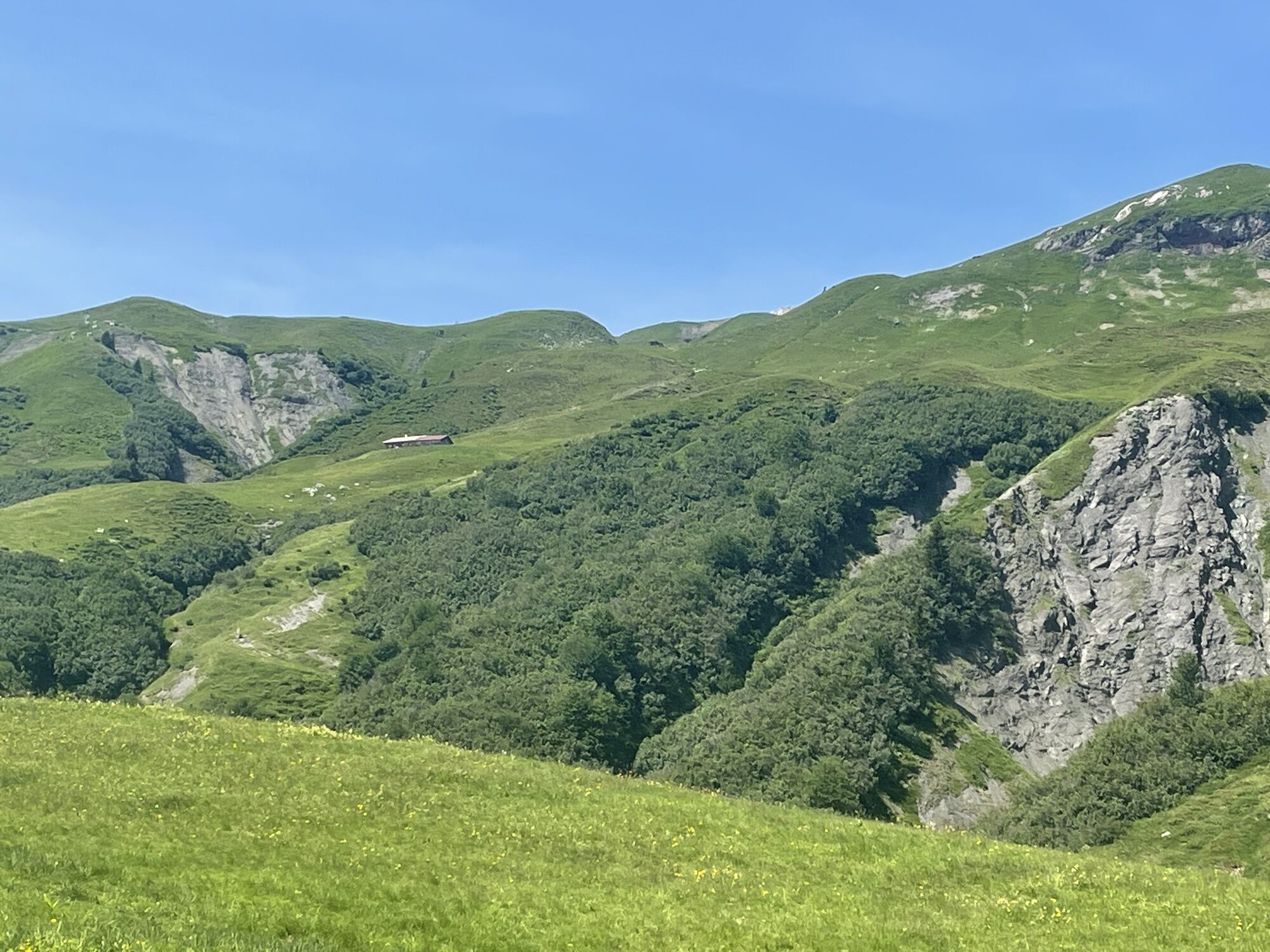
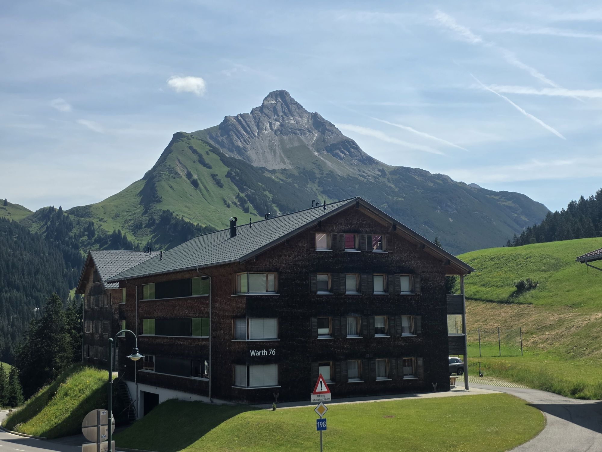
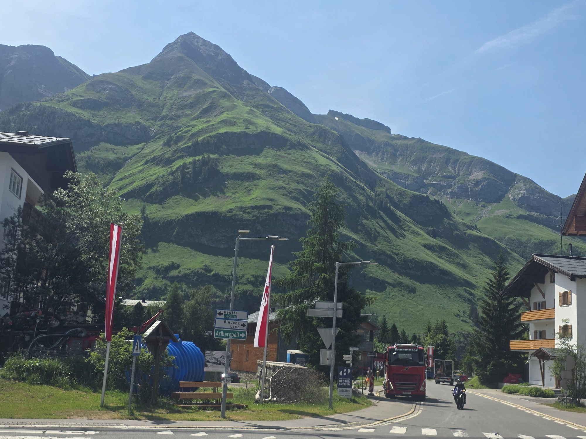
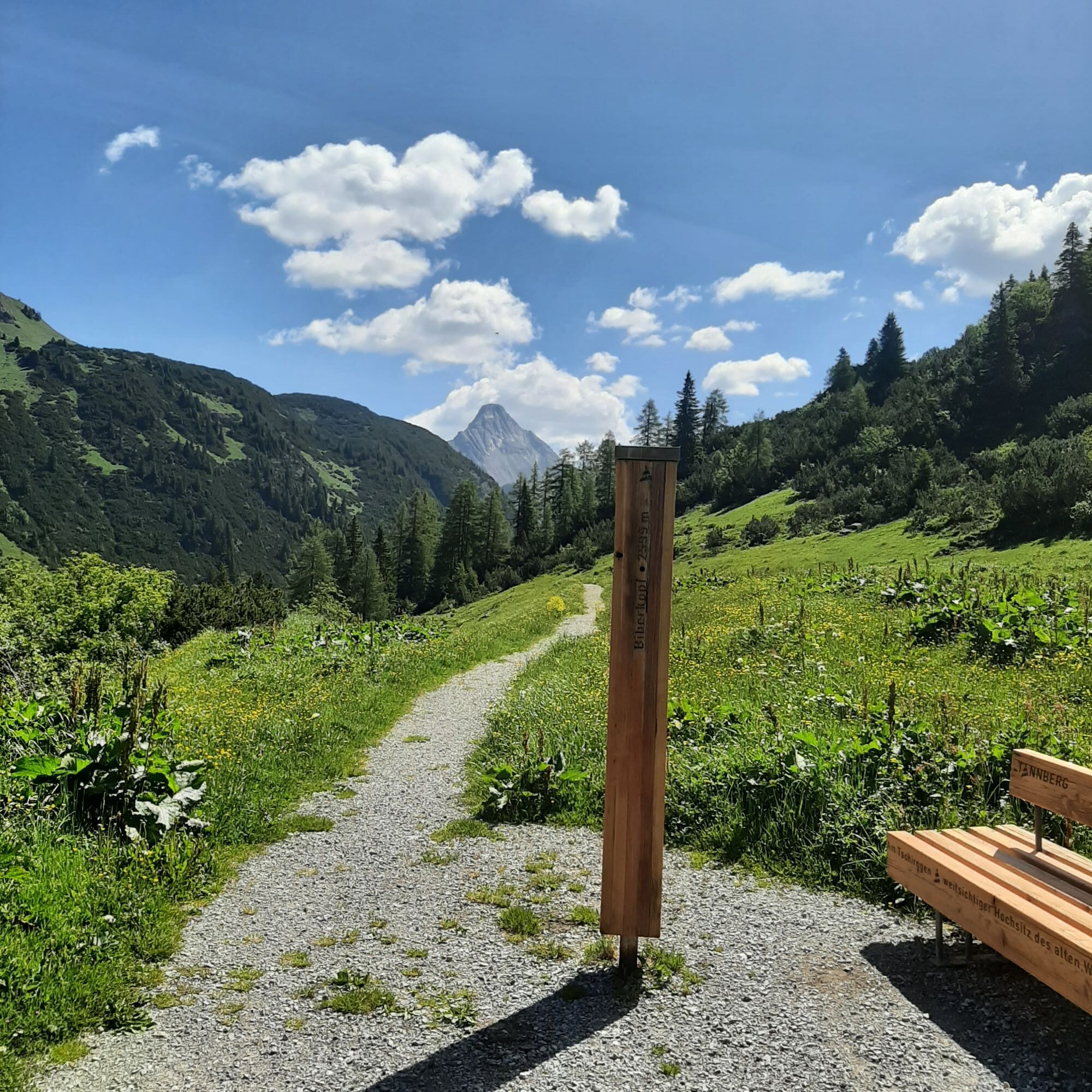
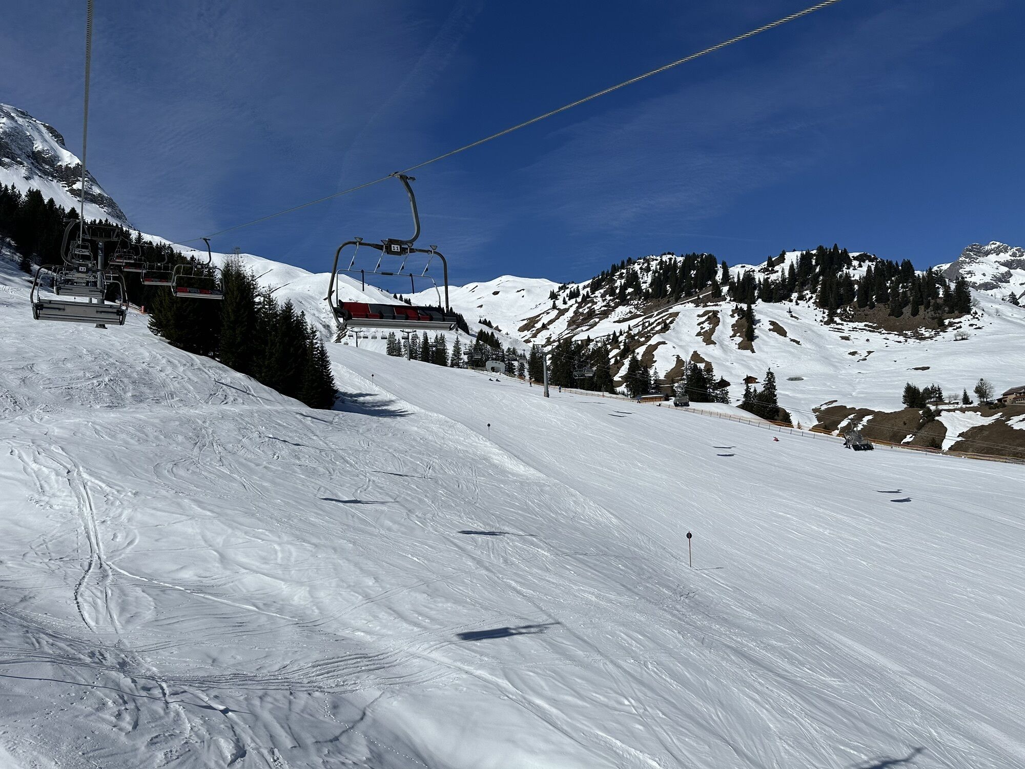
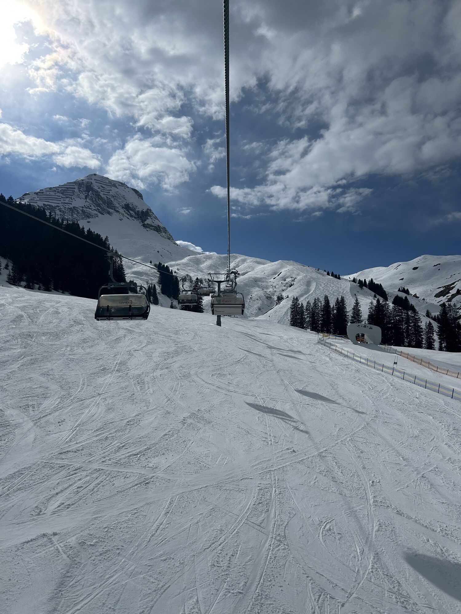
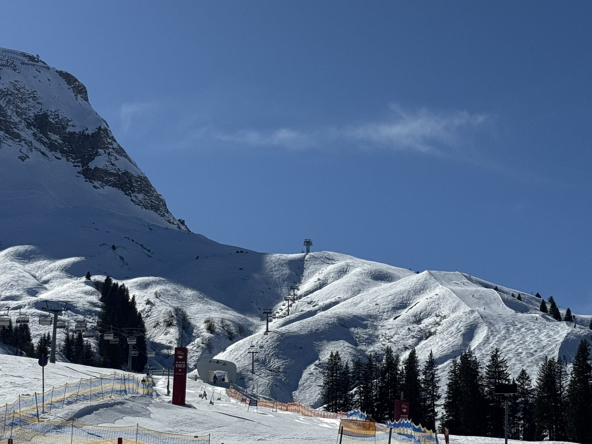
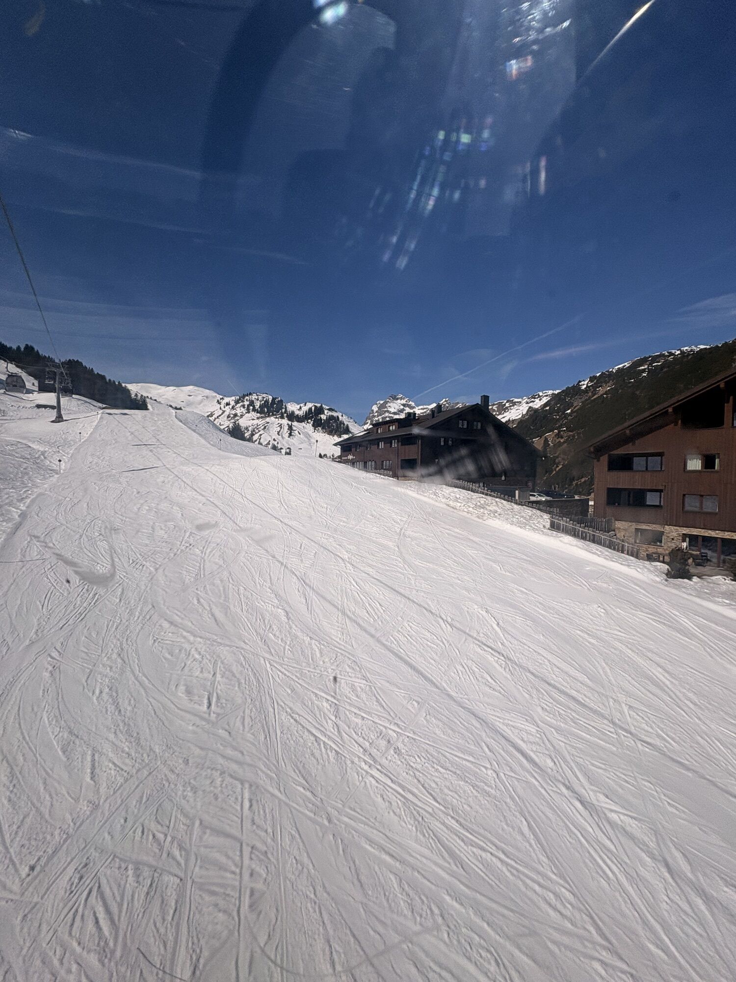
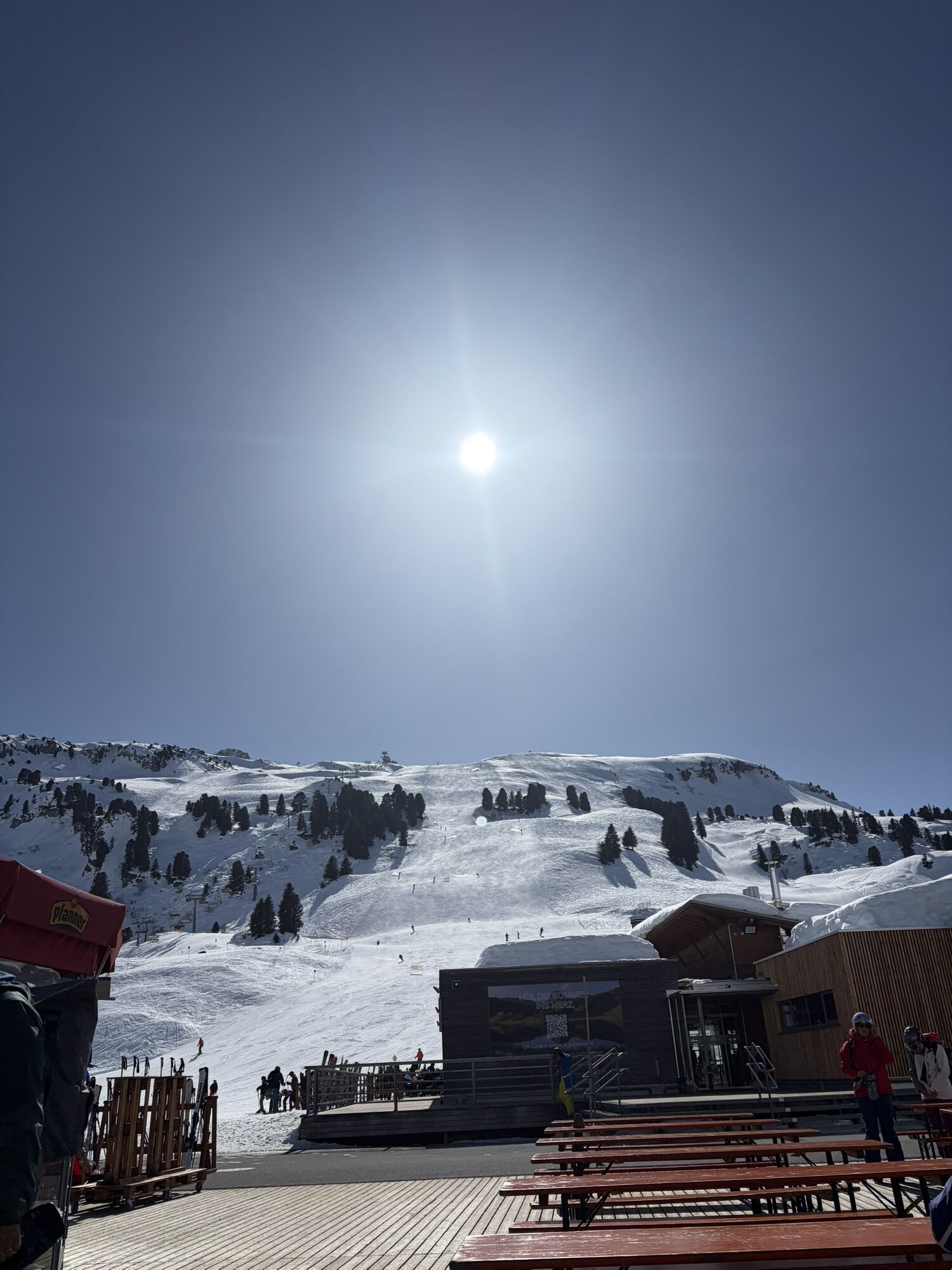
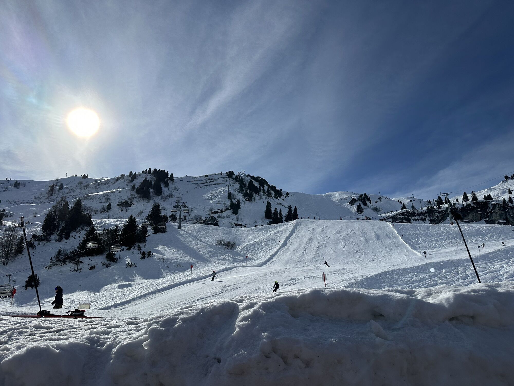
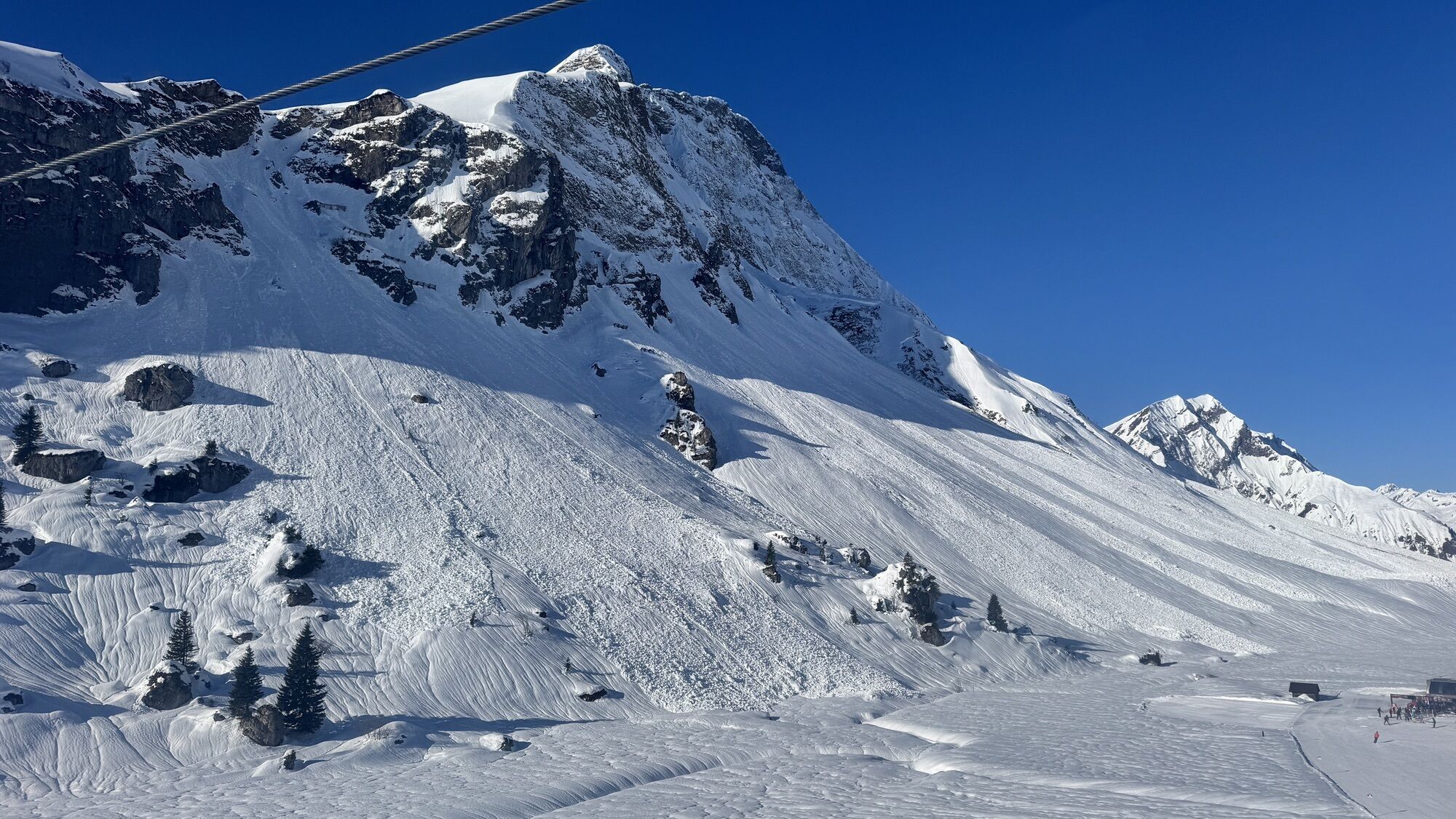
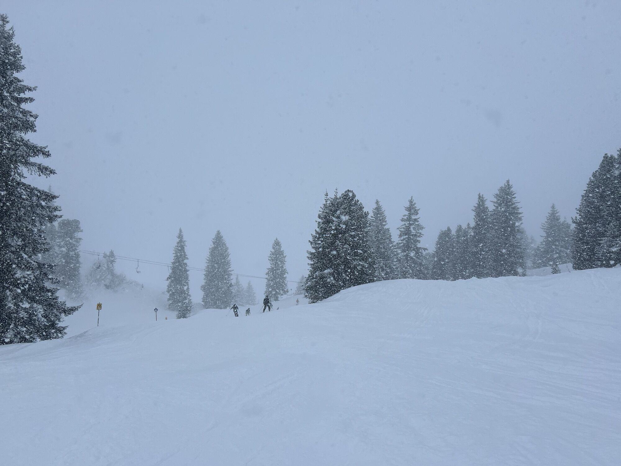
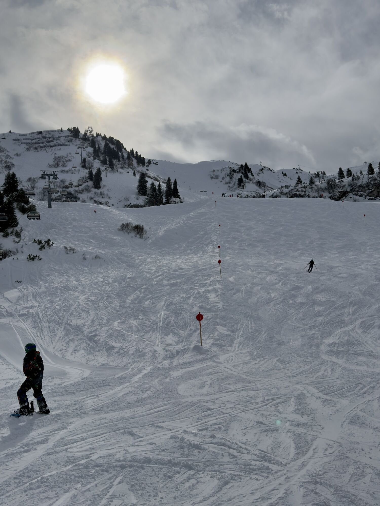
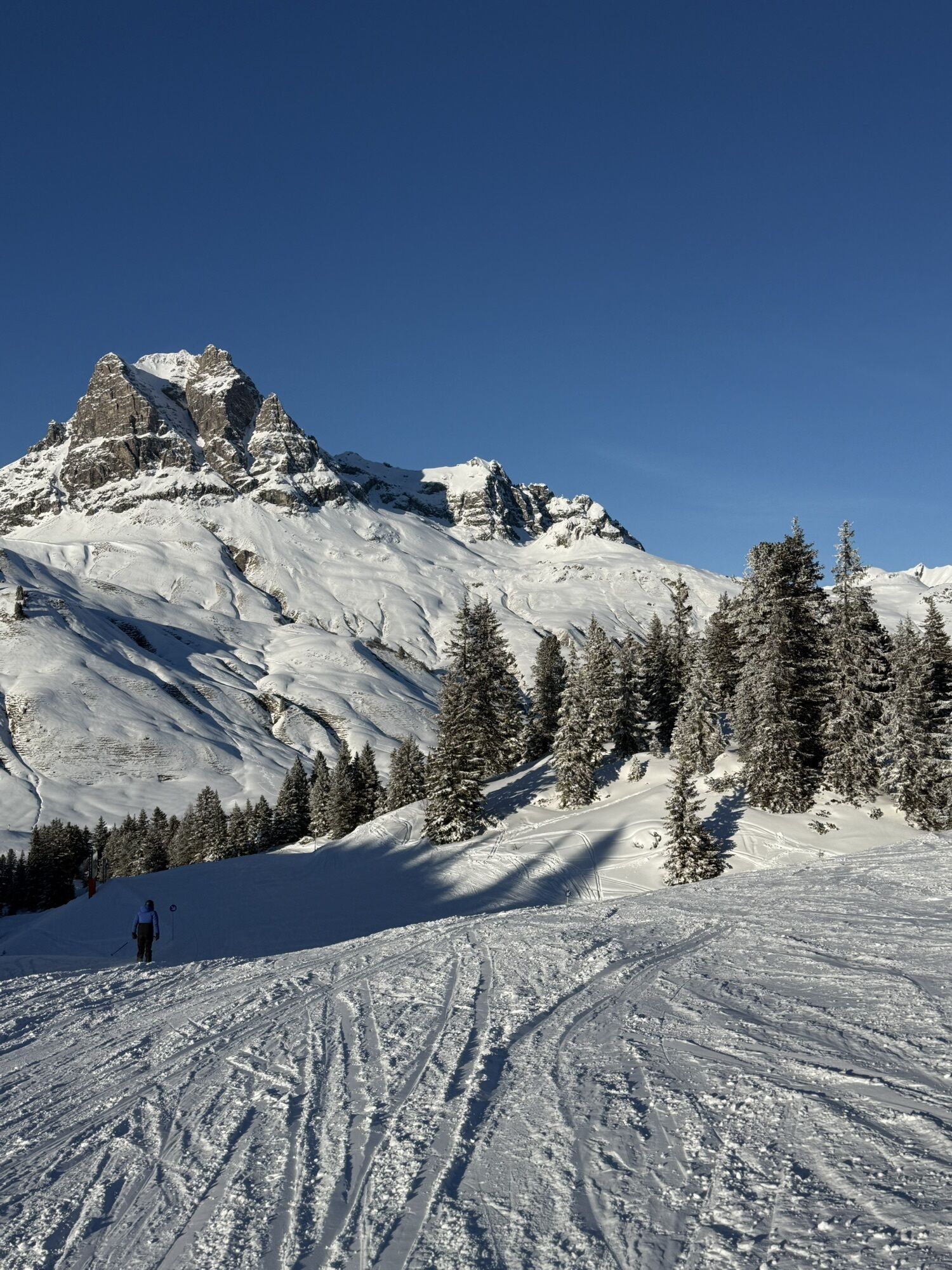


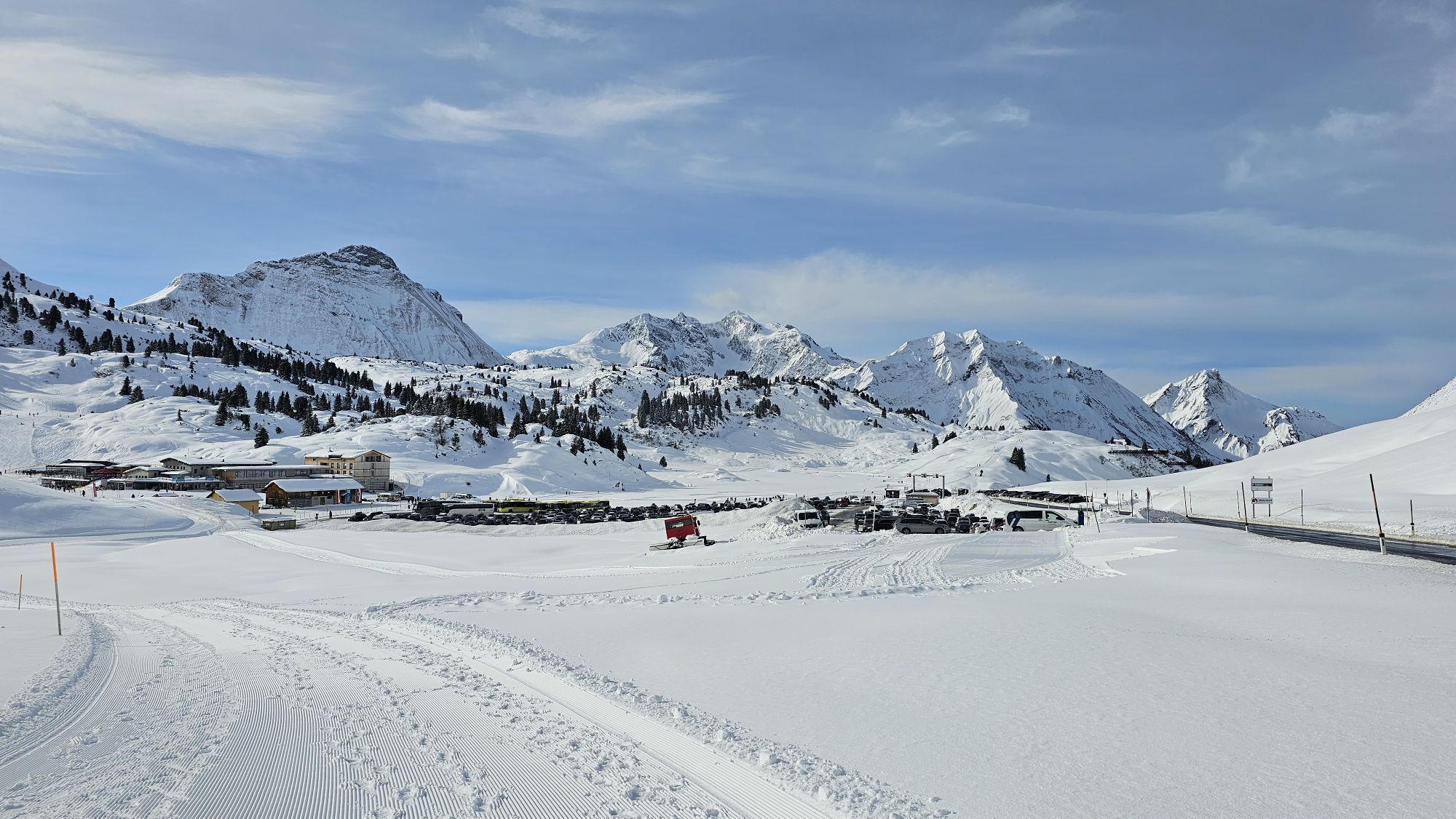

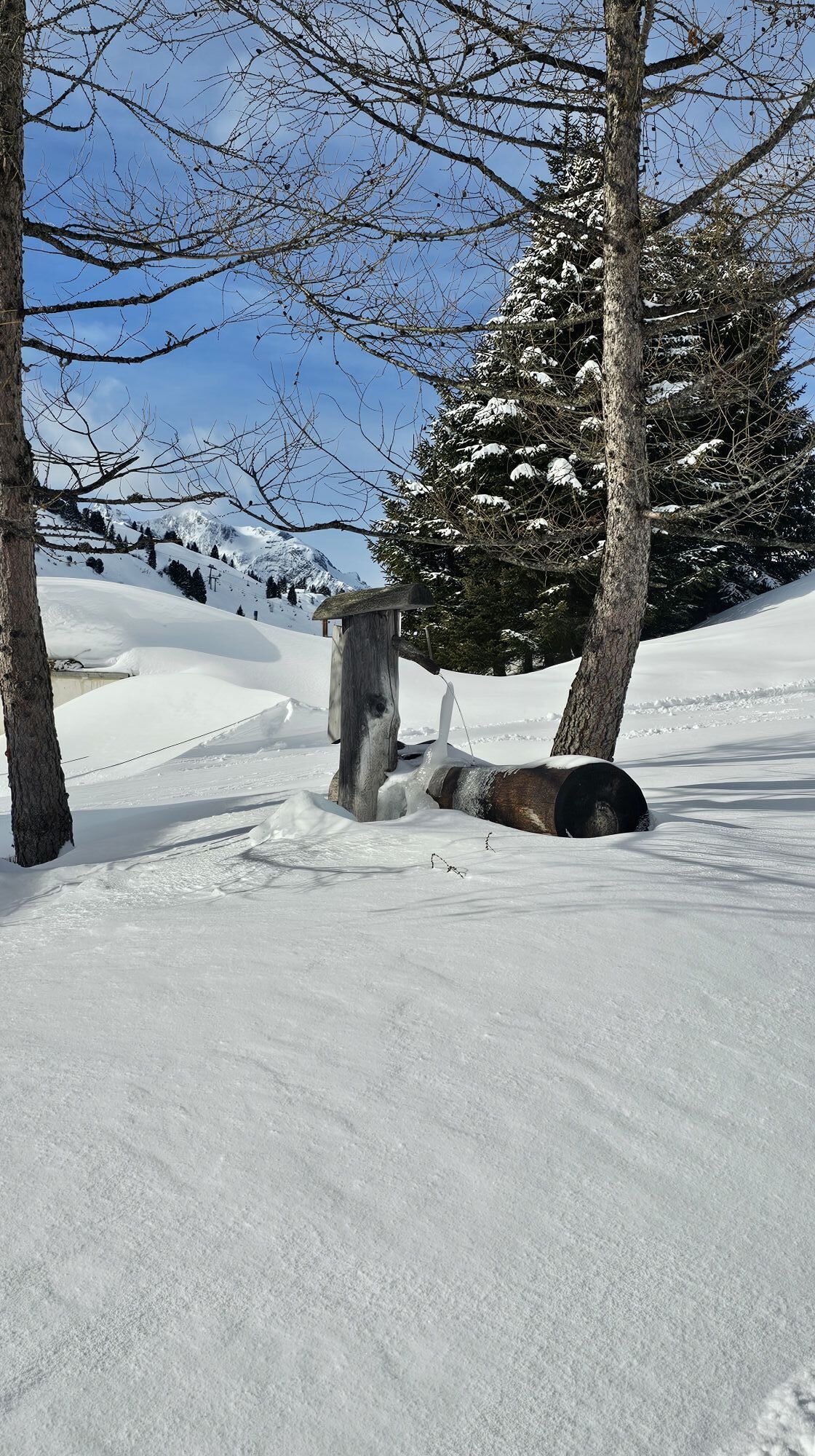
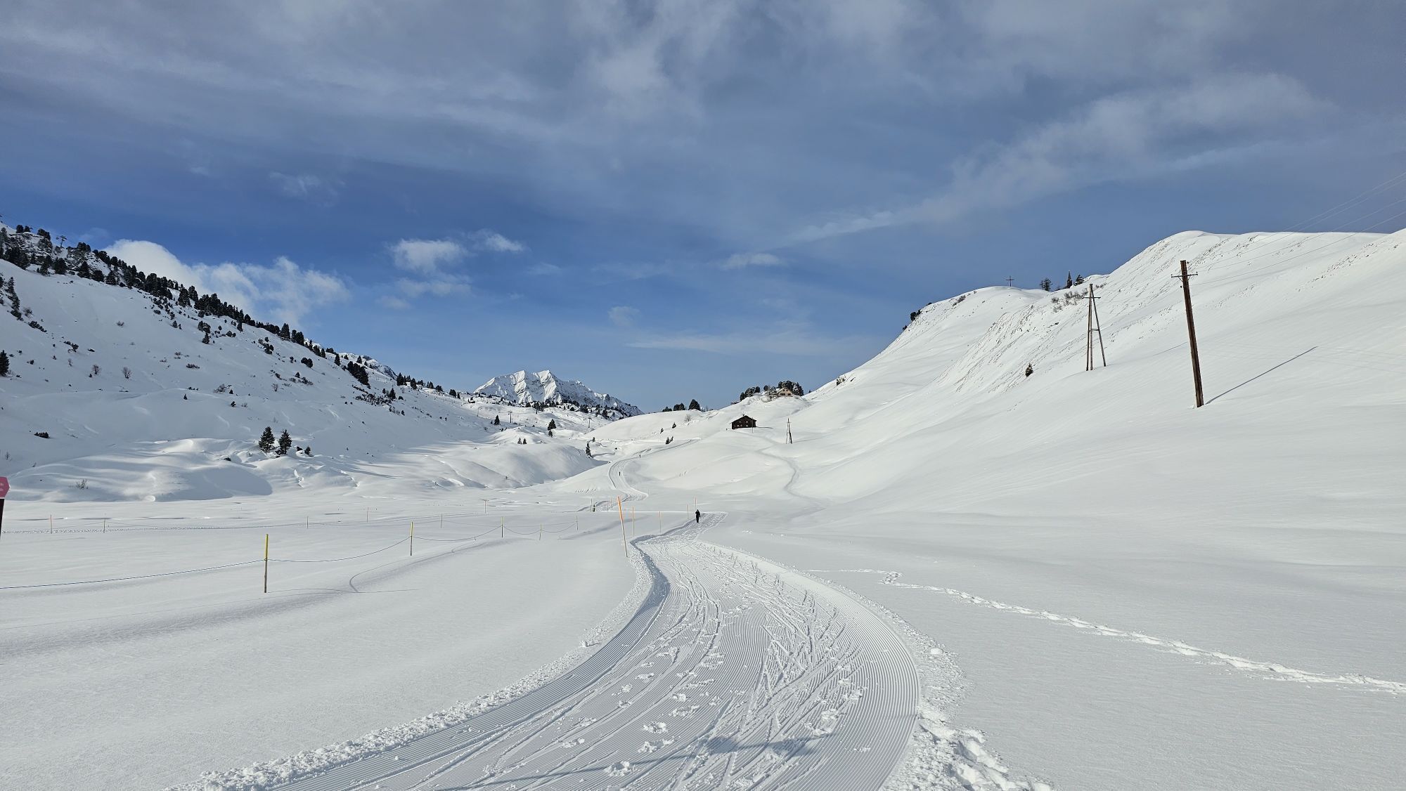
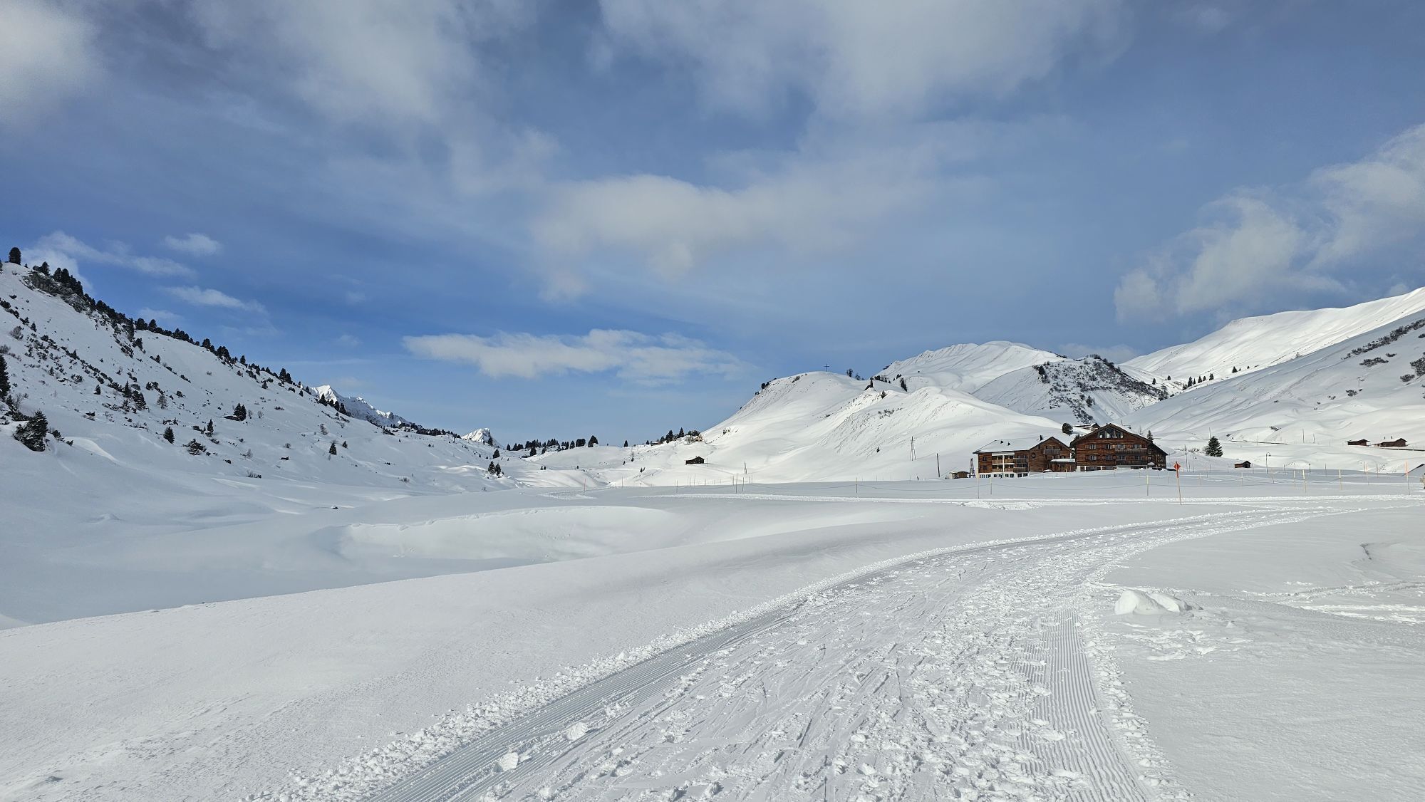
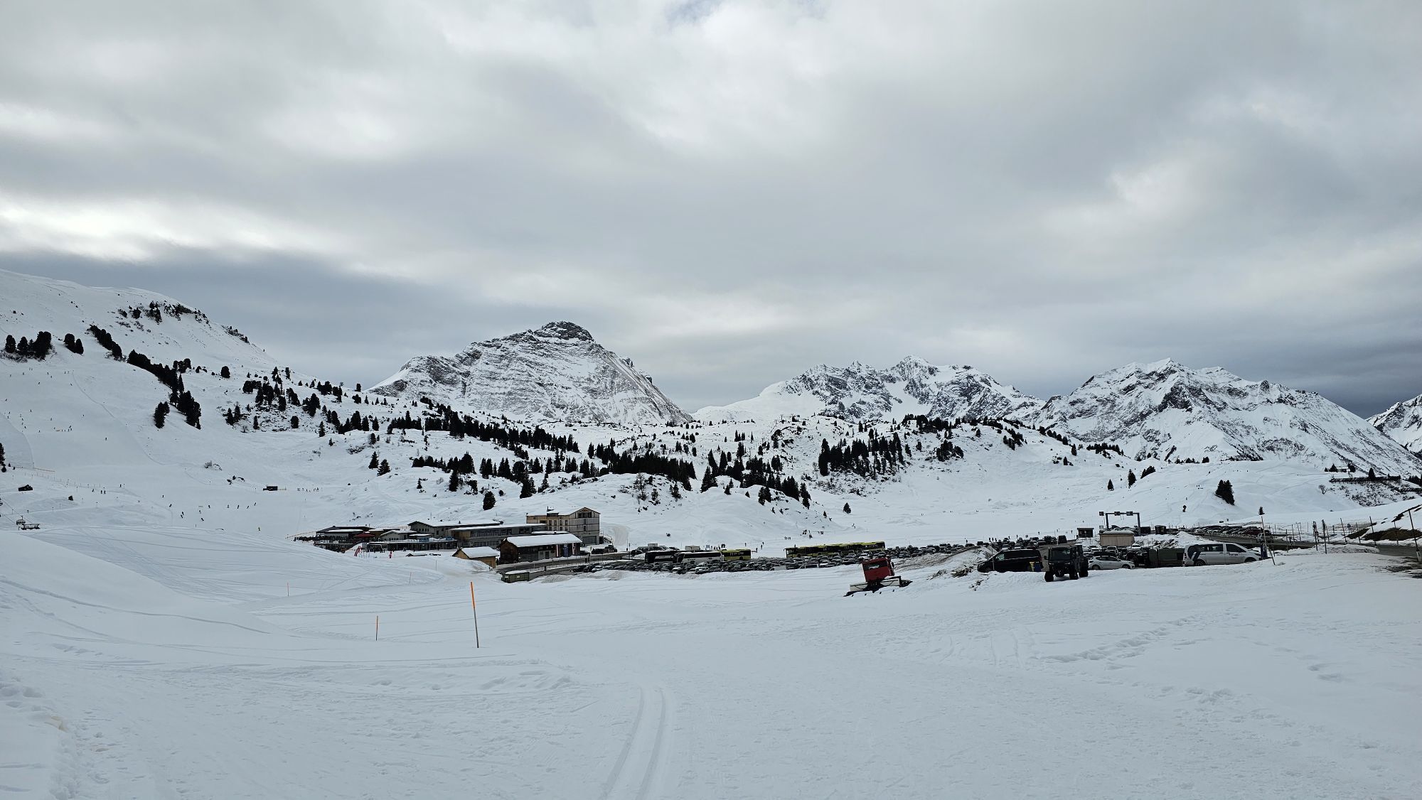
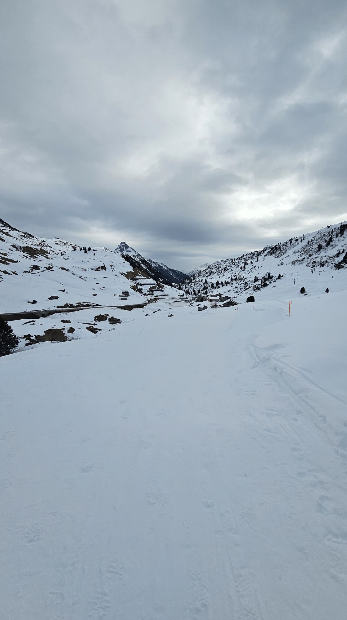
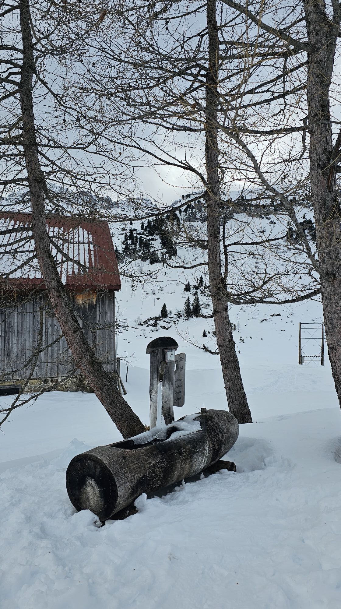
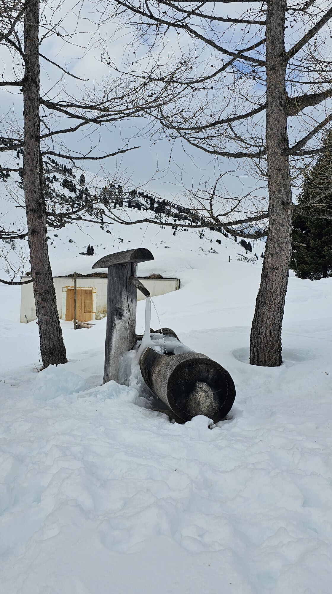
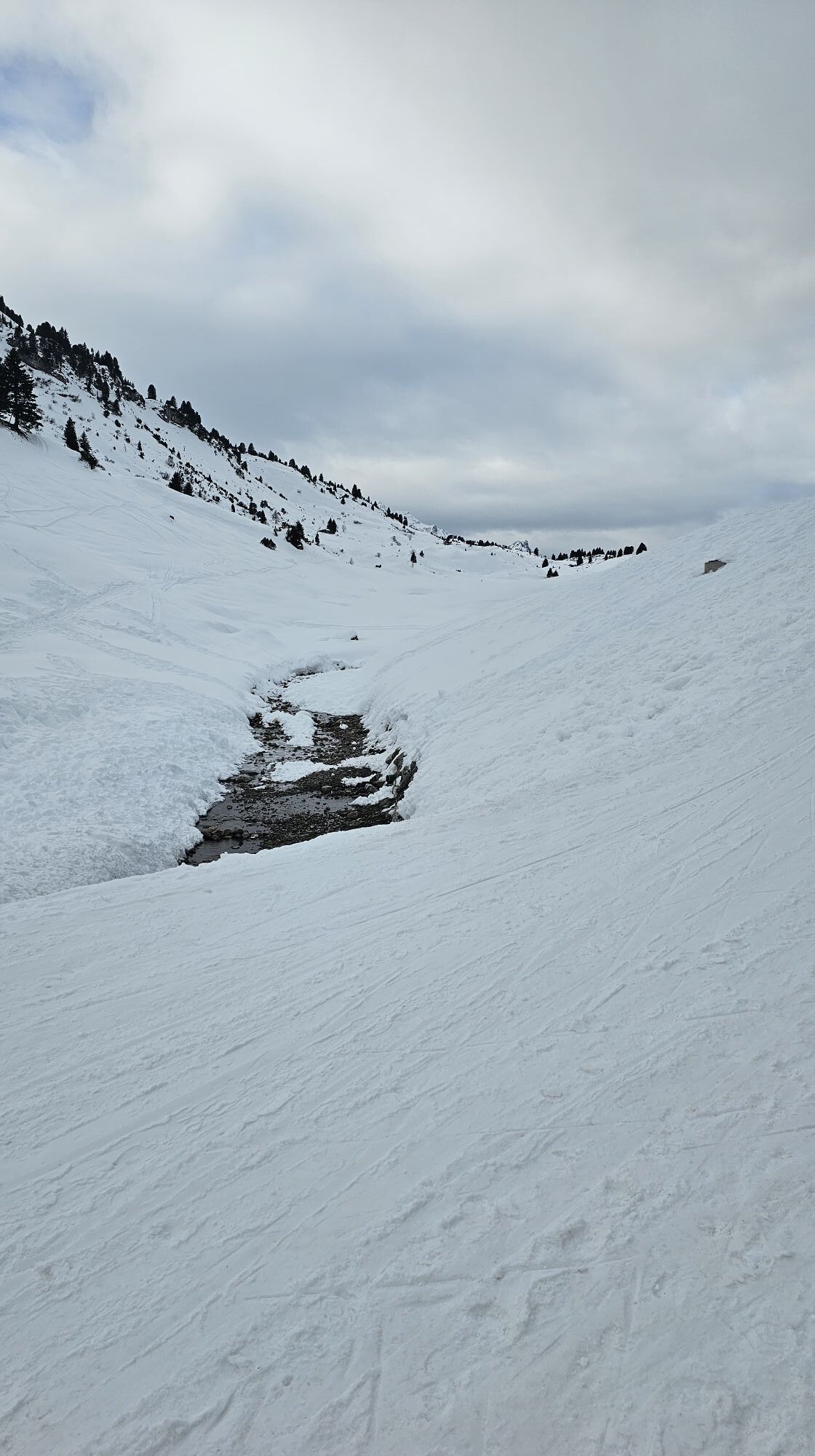
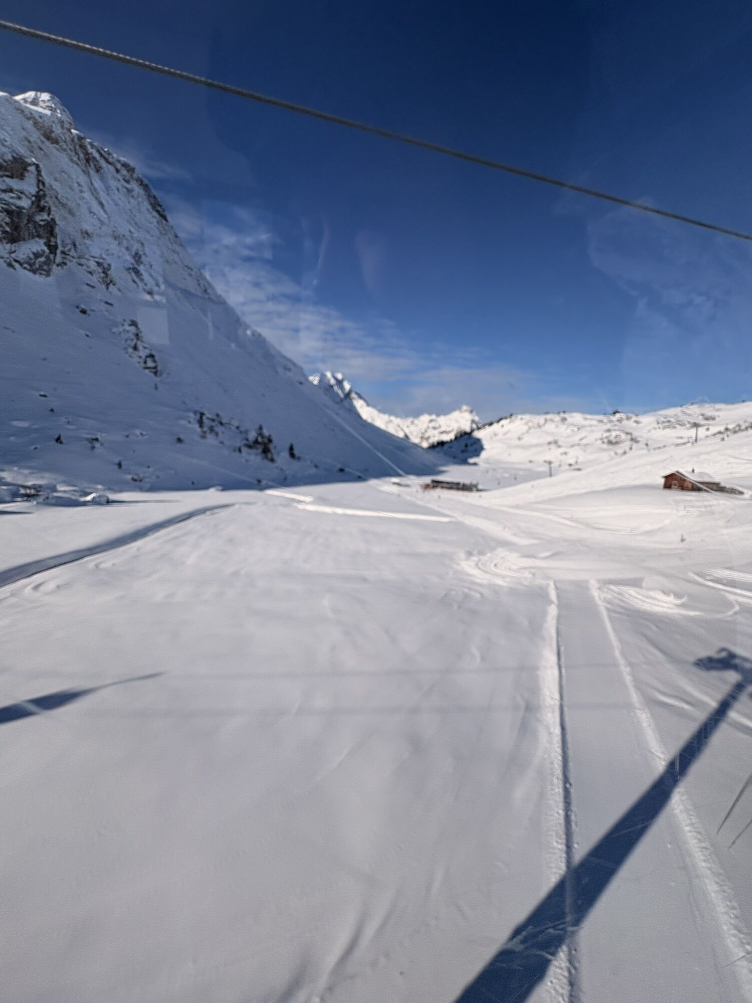
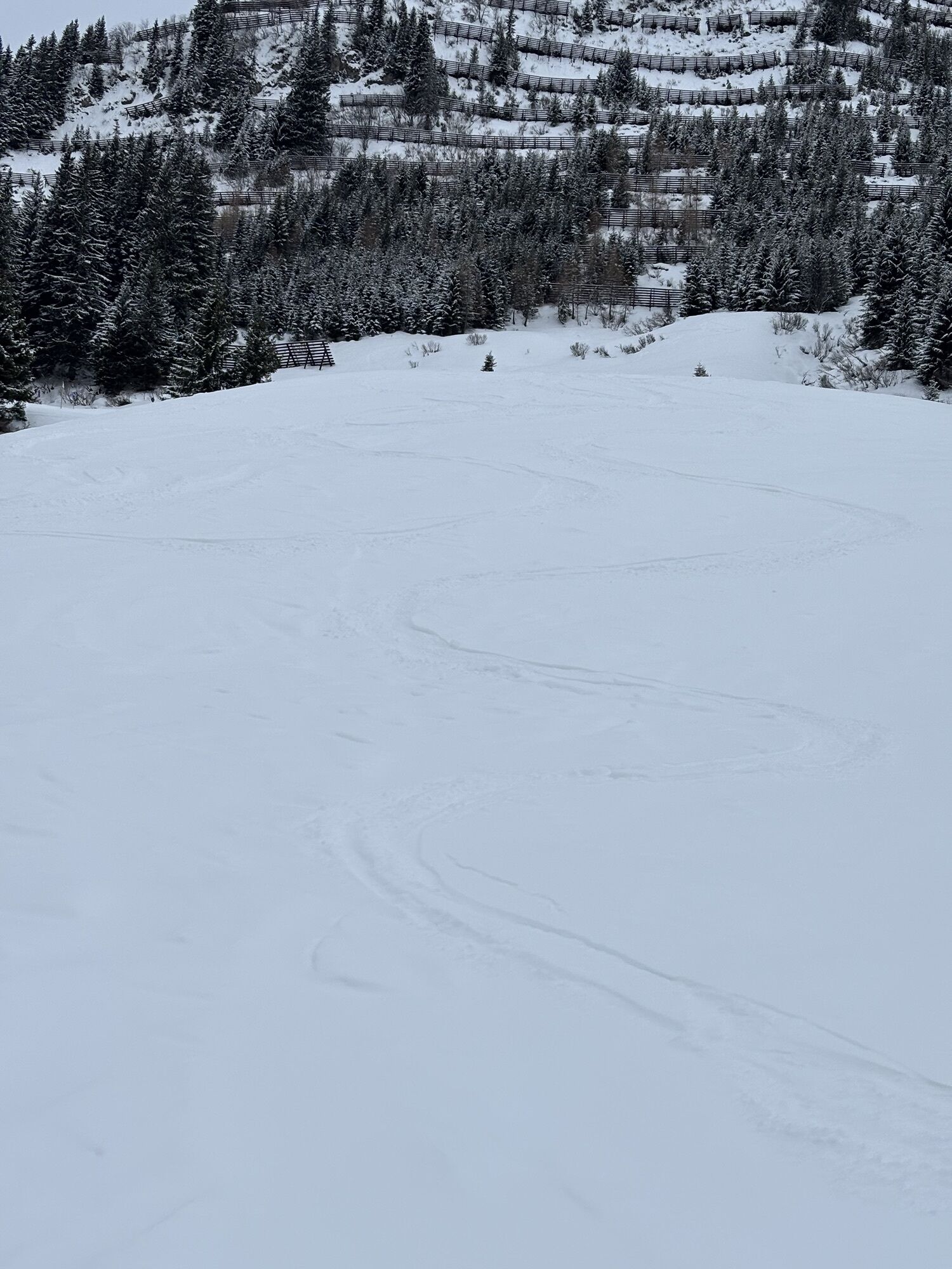
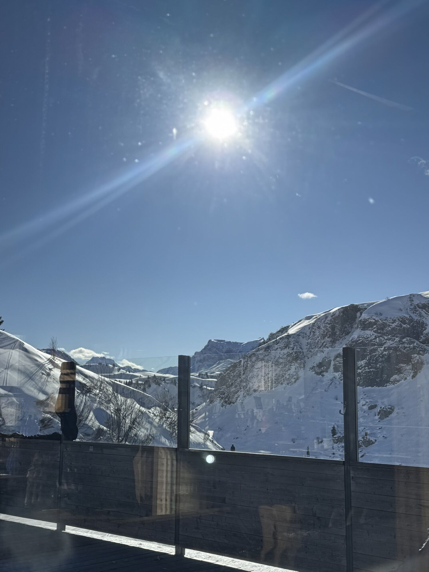
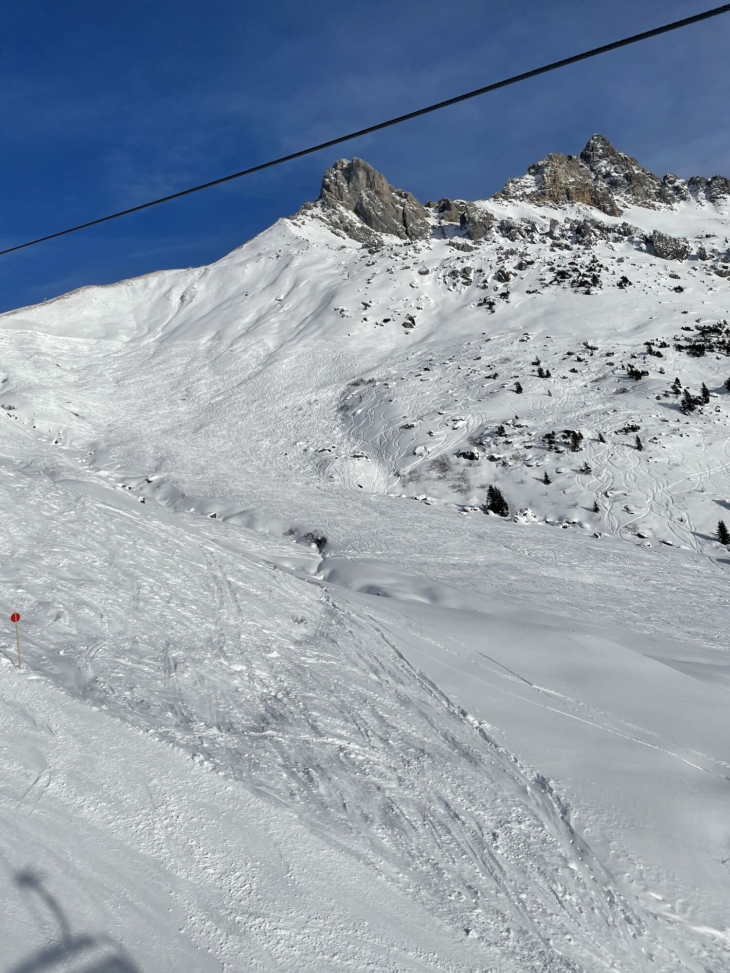
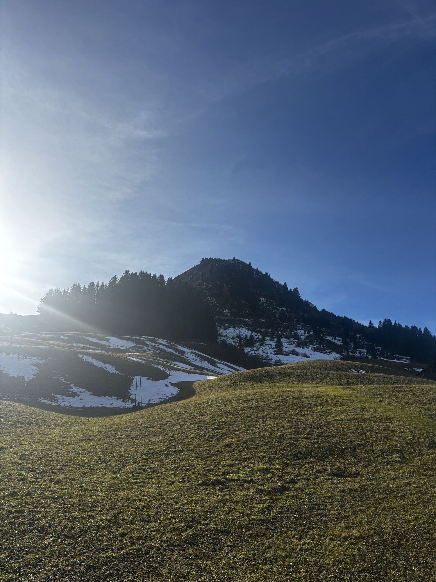
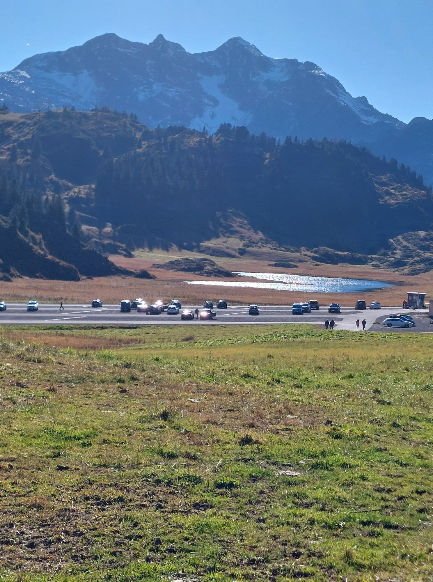
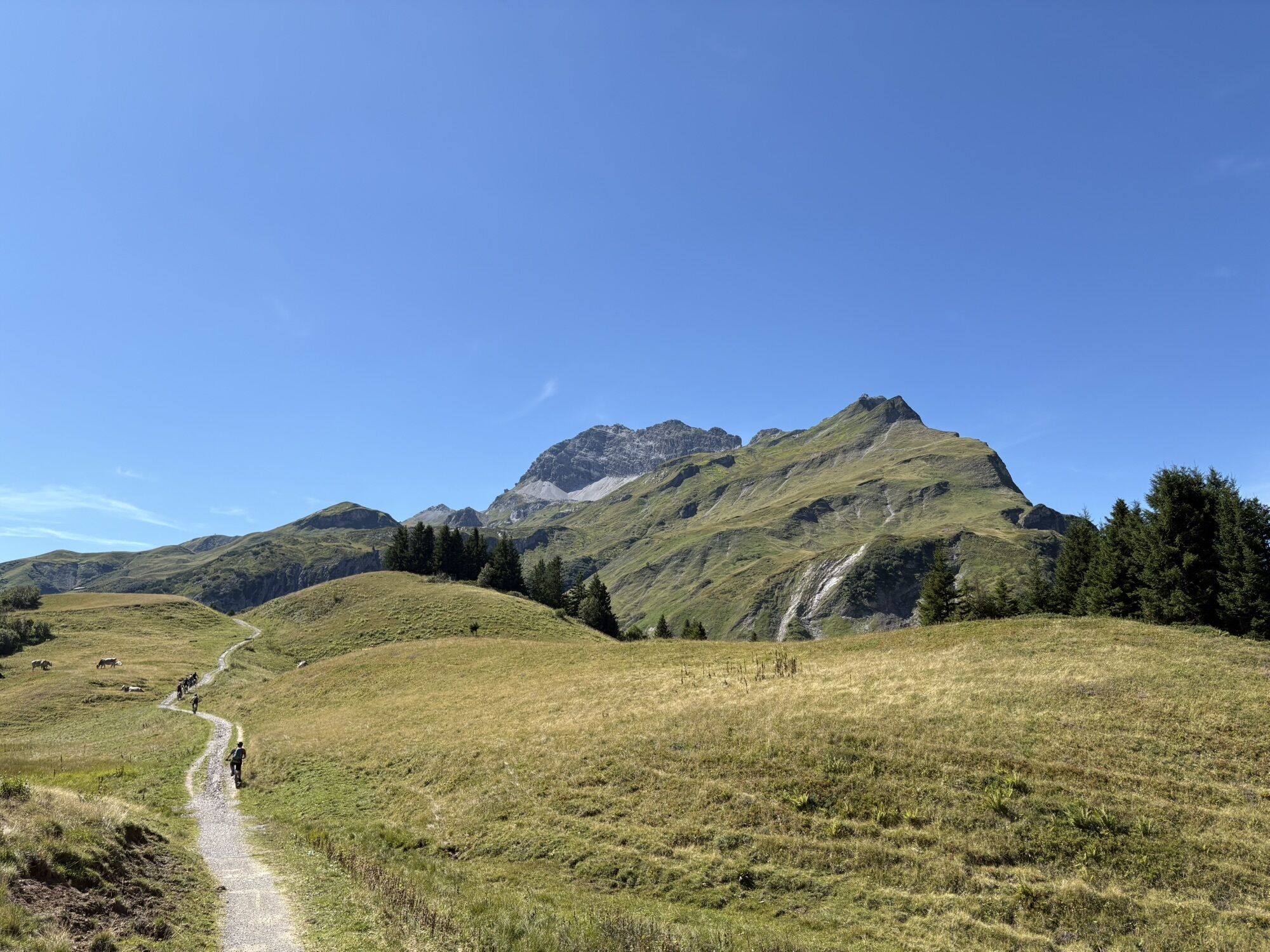
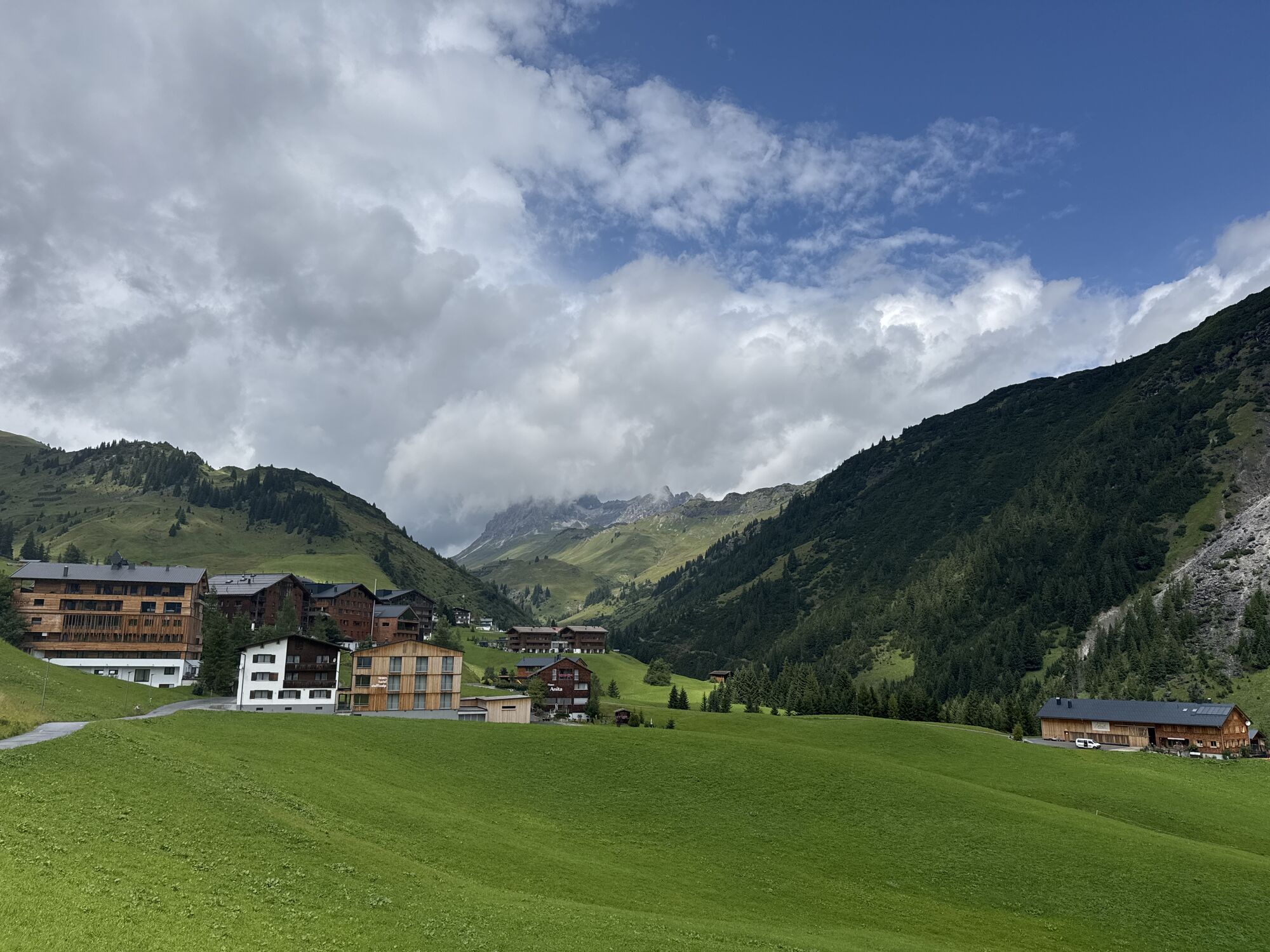
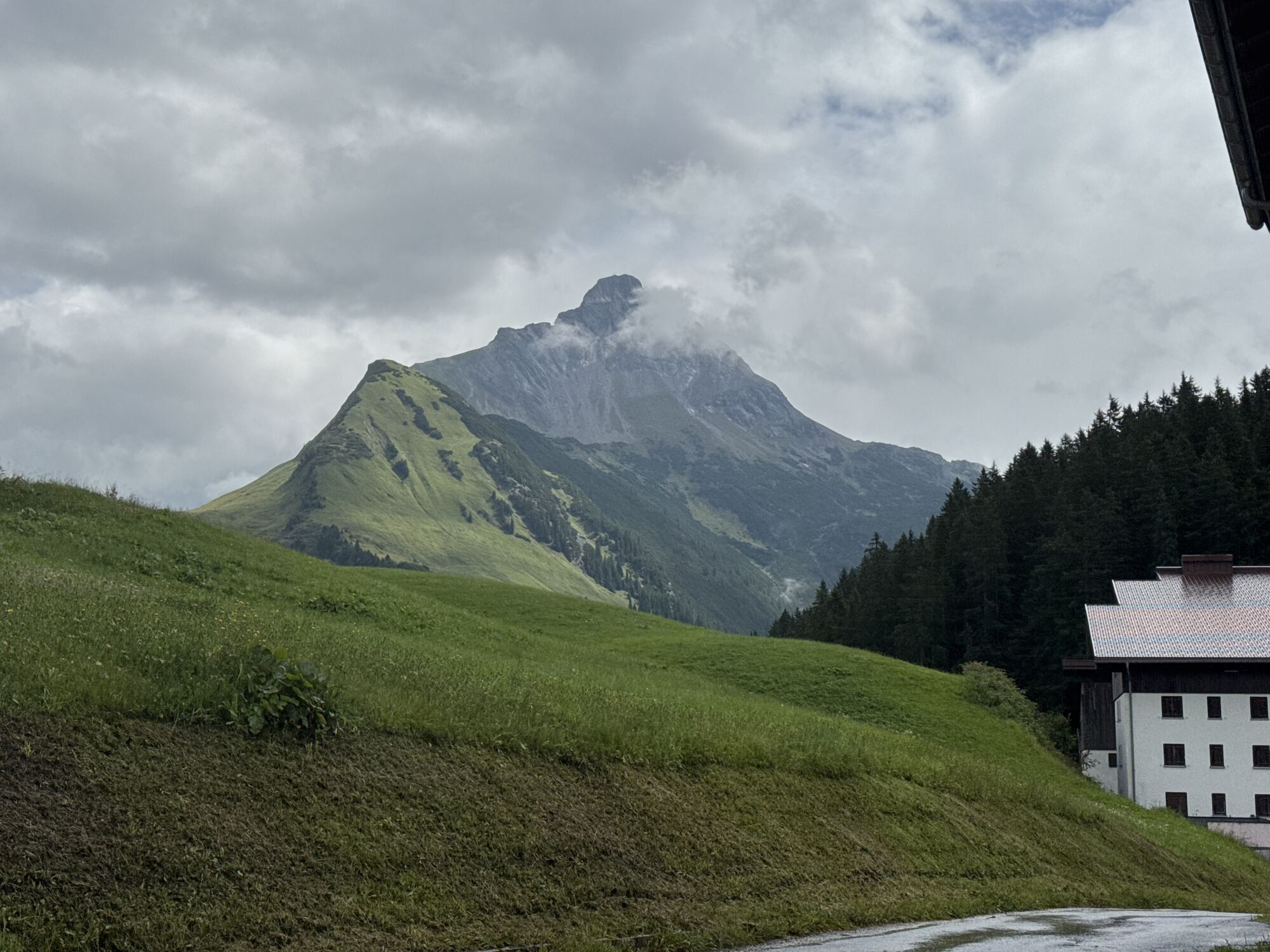
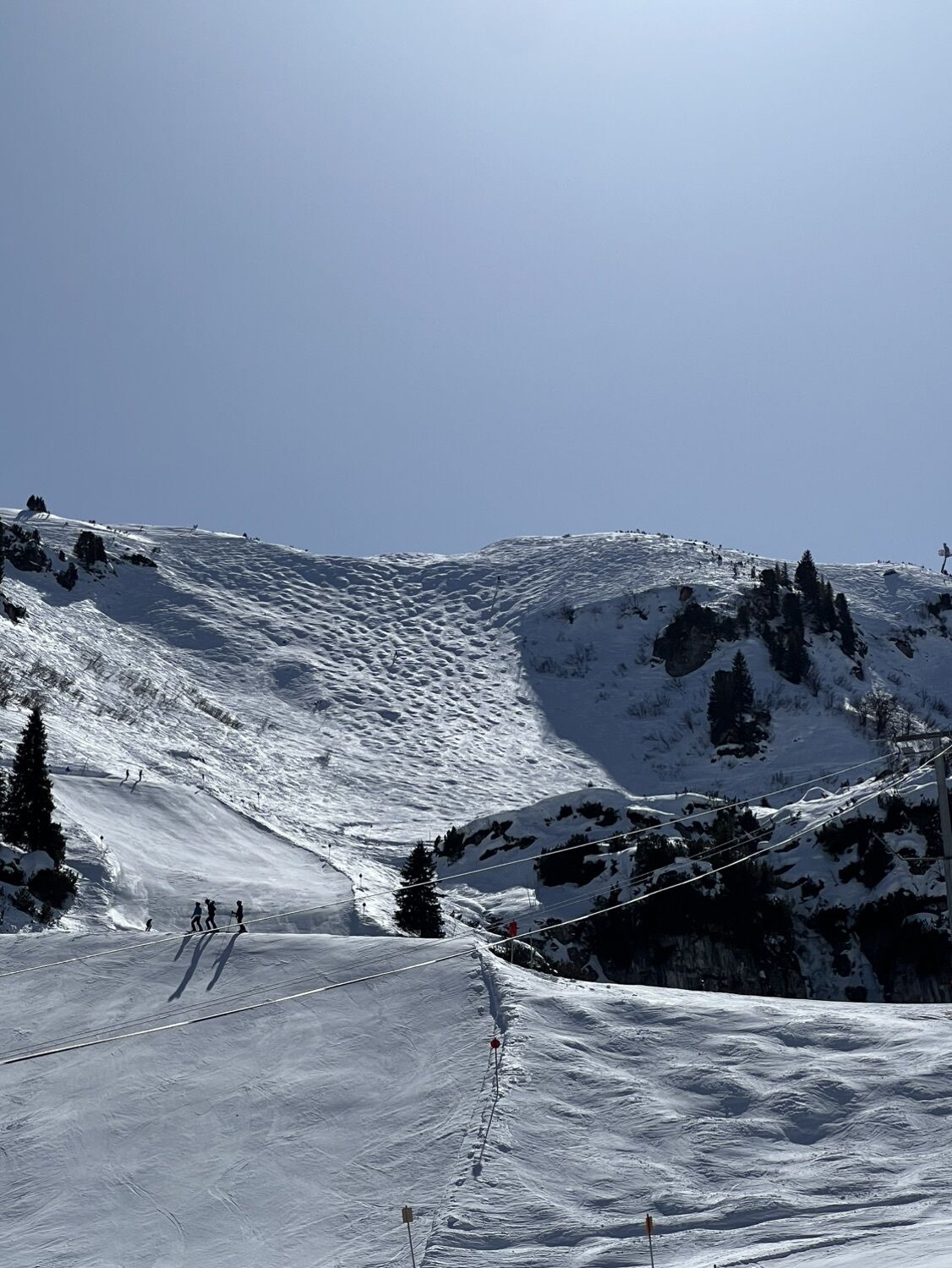
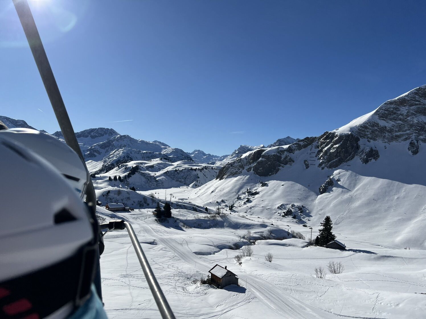
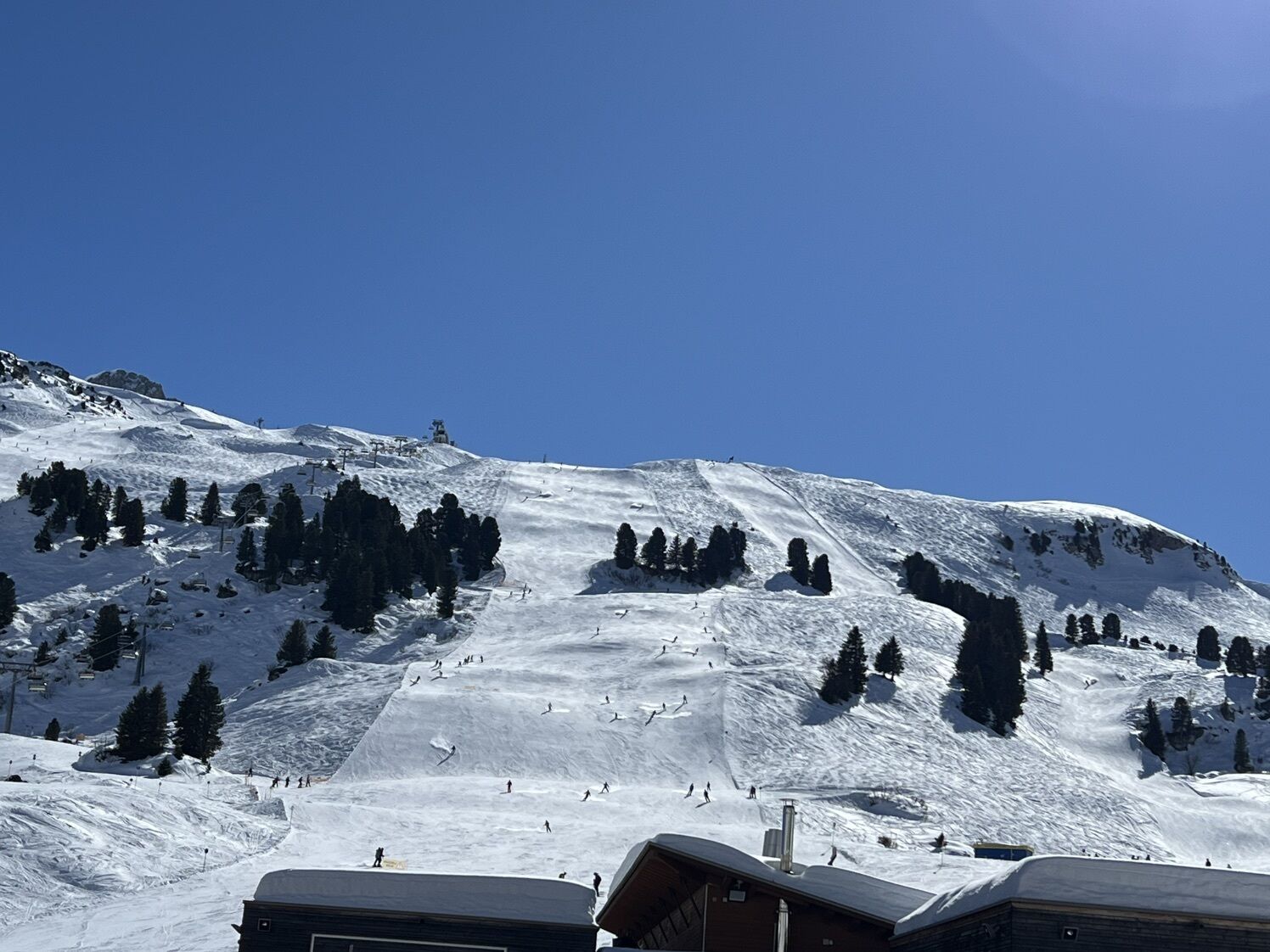
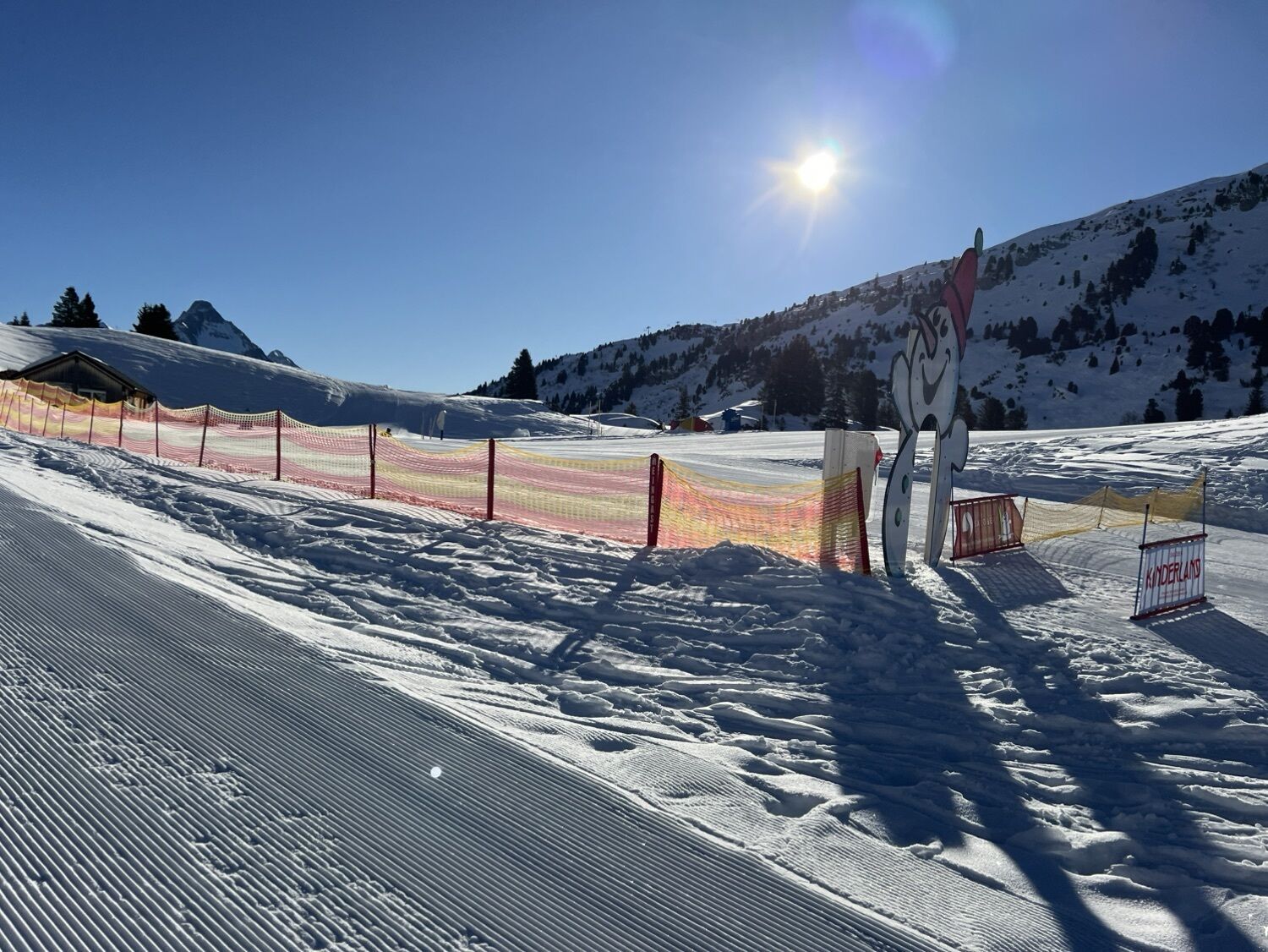
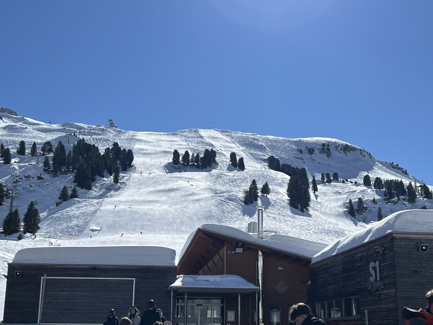
• Strecke: 11,6 km
• Dauer: 1:55h
• Aufstieg: 482 hm
• Abstieg: 192 hm
• Höchster Punkt: 1.795 hm
• Tiefster Punkt: 1.488 hm
Parcours
Pfarrkirche St. Sebastian
(1 495 m)
Lieu de culte
0,2 km
Wolfegg
(1 538 m)
Couloir/terrain
1,3 km
Hochkrumbach
(1 599 m)
Lotissement
3,9 km
Salobersattel
(1 792 m)
Selle de montagne
7,1 km
Auenfelder Hütte
(1 736 m)
Refuge
8,1 km
Unterauenfeldalpe
(1 676 m)
Couloir/terrain
9,2 km
Parcours
Warth | Bike ab Warth
moyen
VTT
11,61
km
Warth
(1 495 m)
Village
0,0 km
Pfarrkirche St. Sebastian
(1 495 m)
Lieu de culte
0,2 km
Kitzeliftle
(1 492 m)
Station de télécabines
0,5 km
Wolfegg
(1 538 m)
Couloir/terrain
1,3 km
Sennkuchl
(1 585 m)
Restaurant
3,5 km
Jägeralpe
(1 585 m)
Restaurant
3,5 km
Hochkrumbach
(1 599 m)
Lotissement
3,9 km
Alpekörb
(1 660 m)
Restaurant
5,4 km
SB-Restaurant Salober
(1 662 m)
Restaurant
5,6 km
S1
(1 663 m)
Restaurant
5,7 km
Salobersattel
(1 792 m)
Selle de montagne
7,1 km
Auenfelder Hütte
(1 736 m)
Refuge
8,1 km
Oberauenfeldalpe
(1 733 m)
Couloir/terrain
8,6 km
Unterauenfeldalpe
(1 676 m)
Couloir/terrain
9,2 km
Untere Auenfeldalpe
(1 673 m)
Restaurant
9,4 km

Informations sur l'itinéraire
Parcours
Tourenverlauf
Dorfplatz Warth – Wolfegg – Alte Salzstraße – Salober-Jet – Auenfeld – Untere Auenfeldalpe – Auenfeldsattel – Untere Geisbühelalpe
Informations sur l'itinéraire
Transports en commun
Alle Informationen zu den Bussen finden Sie hier
Parking
Alle Informationen zu Parkplätzen finden Sie hier
Infos complémentaires & conseils
Conseils
Einkehrmöglichkeiten/ Verpflegungsstationen:
• Auenfelderhütte
• Untere Auenfeldalpe (während der Alpzeit geöffnet)
Évaluations
1 Commentaire

Flach Ma

18. juin. 2026
Alte Salzstraße, gemütlicher Weg
Webcams de la tournée
-
Flühenlift
-
Warth / Hotel Walserberg
-
Oberlech
-
Lech am Arlberg - Hotel Goldener Berg Oberlech
-
Mindelheimer Hütte
-
Lech am Arlberg - Pension Bergland
-
Warth-Schröcken - Saloberarena
-
Warth-Schröcken - Saloberjet
-
Lech am Arlberg - Kriegerhornbahn
-
Schröcken
-
Lech am Arlberg - Sporthaus
-
Körbersee
-
Warth-Schröcken - Widdersteinhütte
-
Schröcken - Oberboden
-
Zug
-
Lech am Arlberg
-
Oberlech - Pension Bergland
-
Lech - Wöstersattel
-
Schmelzhof
-
Chalet Anna Maria
-
Lech Rüfikopf
-
Skischule Warth
-
Warth
-
Alpenwald
Obtenez un aperçu
Toujours en direct avec plus de 9.500 webcams. En tant qu'utilisateur Pro, vous pouvez désormais voir les webcams correspondantes à de nombreuses randonnées dans l'application de randonnées de bergfex. Vous pouvez ainsi voir directement les conditions actuelles.

Parcours populaires à proximité
-
4,4
Randonnée en montagne sur la crête du Fellhorn
moyenRandonnée 8,24 km -
4,8
E5 - 1. Etappe: Oberstdorf - Kemptner Hütte
facileChemin de Grande Randonnée 7,80 km -
4,1
2-Länder-Panorama-Rundwanderweg Fellhorn/Kanzelwand
facileRandonnée 6,70 km -
4,7
Widderstein Runde von Baad
moyenRandonnée 15,8 km -
4,4
Parcours circulaire à travers la vallée de Bärgunt
moyenRandonnée 4,75 km -
4,8
Biberkopf
difficileRandonnée 7,70 km -
4,5
Parcours circulaire dans la vallée de Derra
moyenRandonnée 8,11 km -
4,5
Breitachklamm Rundweg (Alpe Dornach)
moyenRandonnée 7,65 km -
4,2
Randonnée à travers la vallée Schwarzwassertal via Melköde jusqu'à la Schwarzwasserhütte
moyenRandonnée 5,08 km -
4,8
Parcours circulaire dans la vallée de Gemsteltal
facileRandonnée 5,53 km
Randonnée et suivi

Plus de 550.000 propositions de circuits, des cartes détaillées et un planificateur d'itinéraire intuitif font de cette application un must pour tous les passionnés de nature.

Ne manquez pas les offres et l'inspiration pour vos prochaines vacances
S'inscrire à la newsletter
Erreur
Une erreur s'est produite. Veuillez réessayer.
Merci pour votre inscription
Votre adresse électronique a été ajouté à la liste de diffusion.
Parcours en Europe
Autriche
Suisse
Allemagne
Italie
Slovénie
France
Pays-Bas
Belgique
Pologne
Liechtenstein
République tchèque
Slovaquie
Espagne
Croatie
Bosnie-Herzégovine
Luxembourg
Andorre
Portugal
Islande
Royaume-Uni
Irlande
Grèce
Albanie
Macédoine du Nord
Malte
Norvège
Monténégro
Moldavie
Kosovo
Hongrie
Saint-Marin
Roumanie
Estonie
Lettonie
Bélarus
Chypre
Lituanie
Serbie
Bulgarie
Monaco
Danemark
Suède
Finlande





