







Karhorn via fixed rope route

Niveau de difficulté: B



Oui
Oui
Good footwear (ankle high, profile sole), rain protection, Lech Card and bus timetable.
140 Alpine Emergencies Austria-wide
144 Alpine Notfälle Vorarlberg
112 Euro emergency call (works with any mobile phone/network)
From Switzerland: Via the A13 motorway and the Feldkirch, Hohenems or Lustenau border crossing on the A14 motorway to Bludenz. Continue on the S16 until exit Lech Zürs am Arlberg. Follow the B197 up to Alpe Rauz, turn left here onto the B198 through Flexengalerie and over the Flexenpass to Lech Zürs am Arlberg.
From Austria: Via the Inntalautobahn A12 and then via the S16 to the exit St. Anton am Arlberg (Arlberg Pass). Follow the B197 first through St. Anton, then through St. Christoph and over the Arlbergpass to Alpe Rauz. Turn right here onto the B198, drive through Flexengalerie and over the Flexenpass to Lech Zürs am Arlberg.
By train to Langen am Arlberg station or St. Anton am Arlberg. From there, buses (No. 750+760) run regularly to Lech Zürs am Arlberg.
You can either park your vehicle directly at your host’s property or use the Anger underground parking garage. The garage is located right in the town center, across from the Dorfhus Lech. The garage is open 24 hours a day. The service station is open from 8:00 AM to 5:00 PM. Cash payments are not accepted.
B
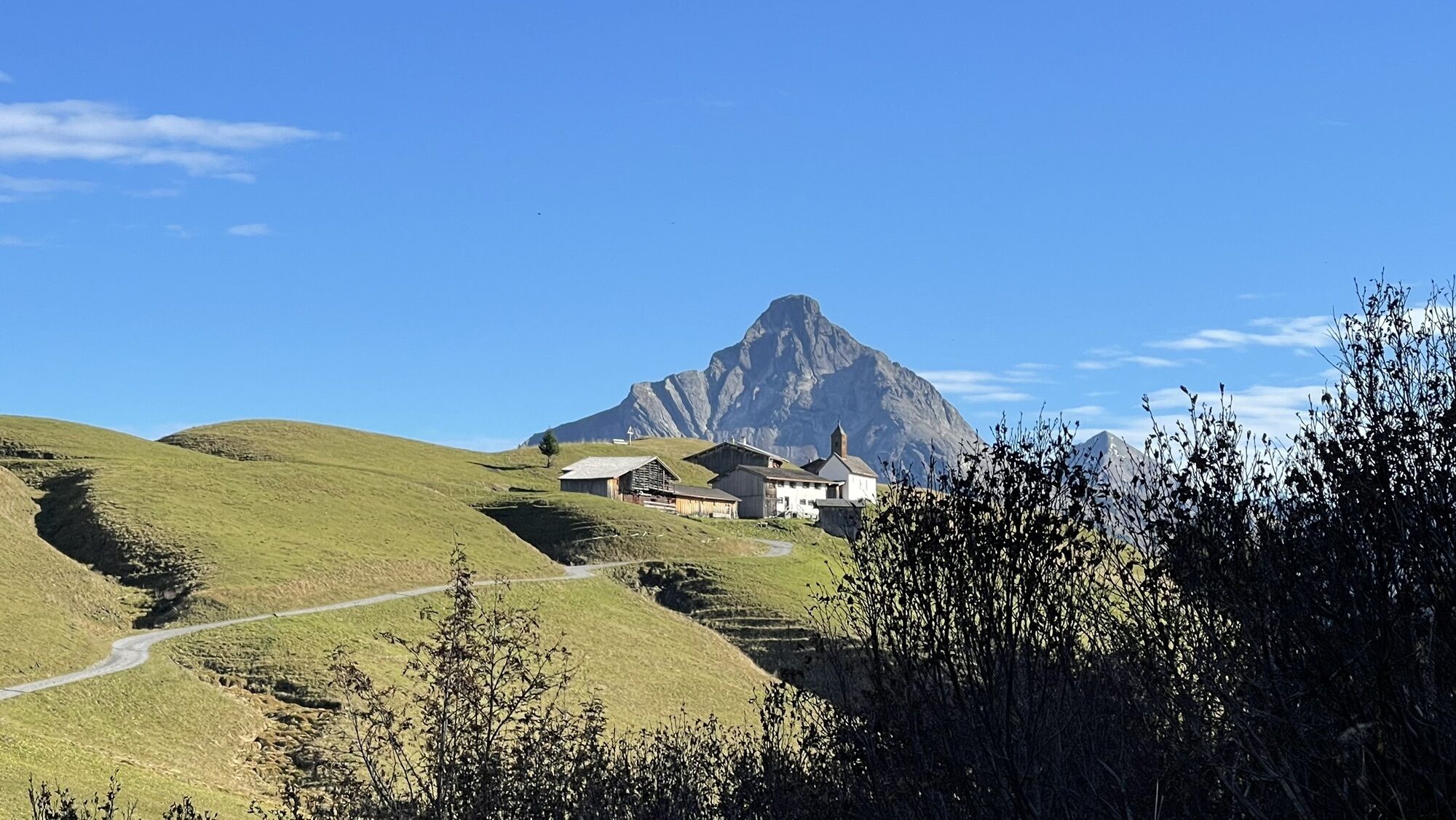
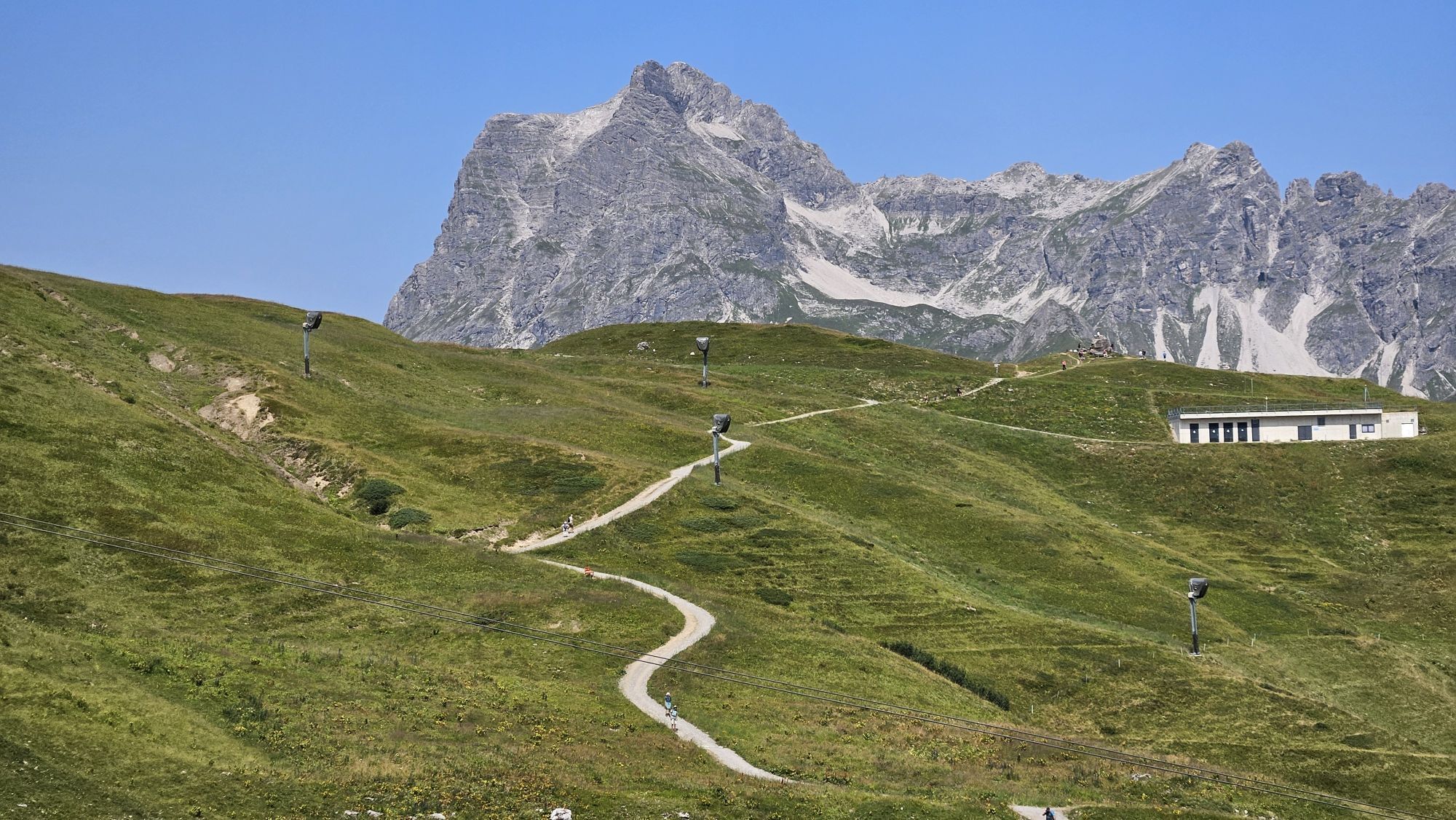
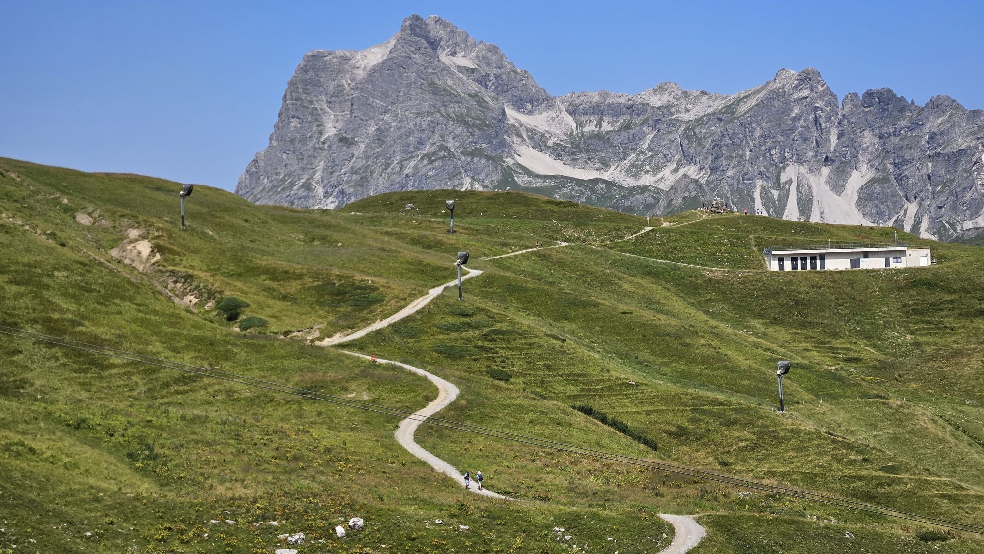
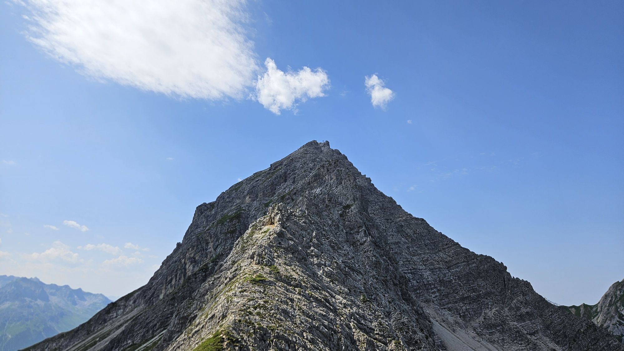
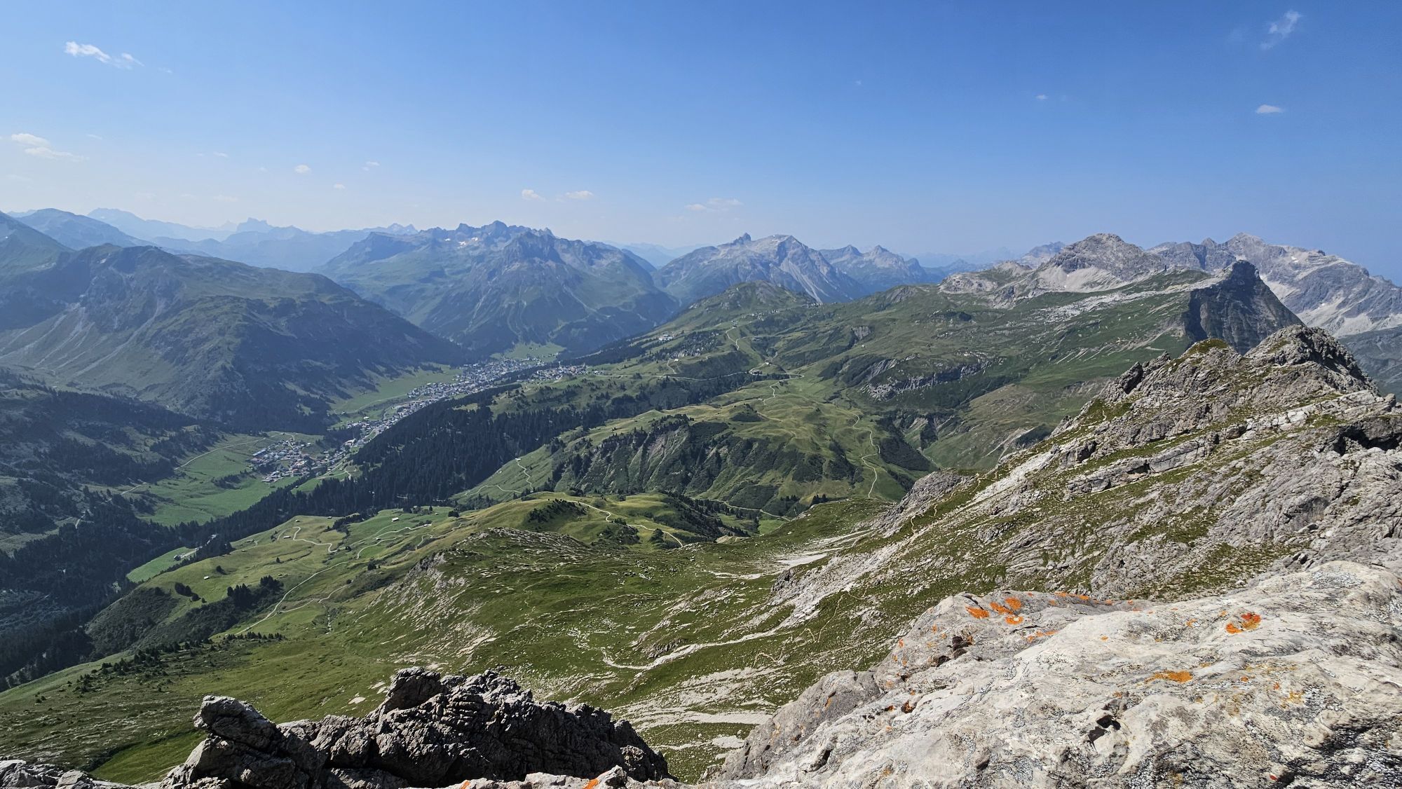
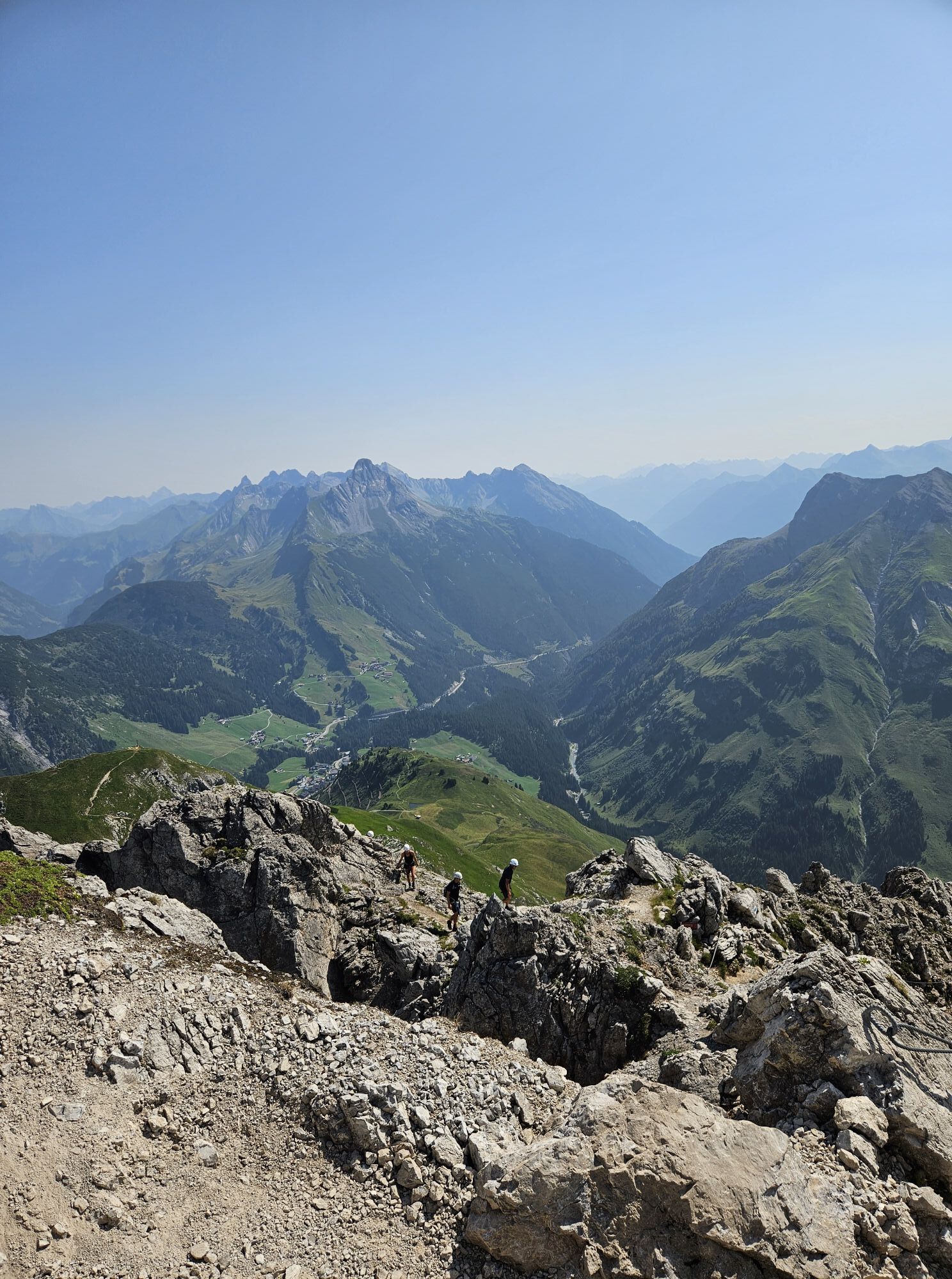
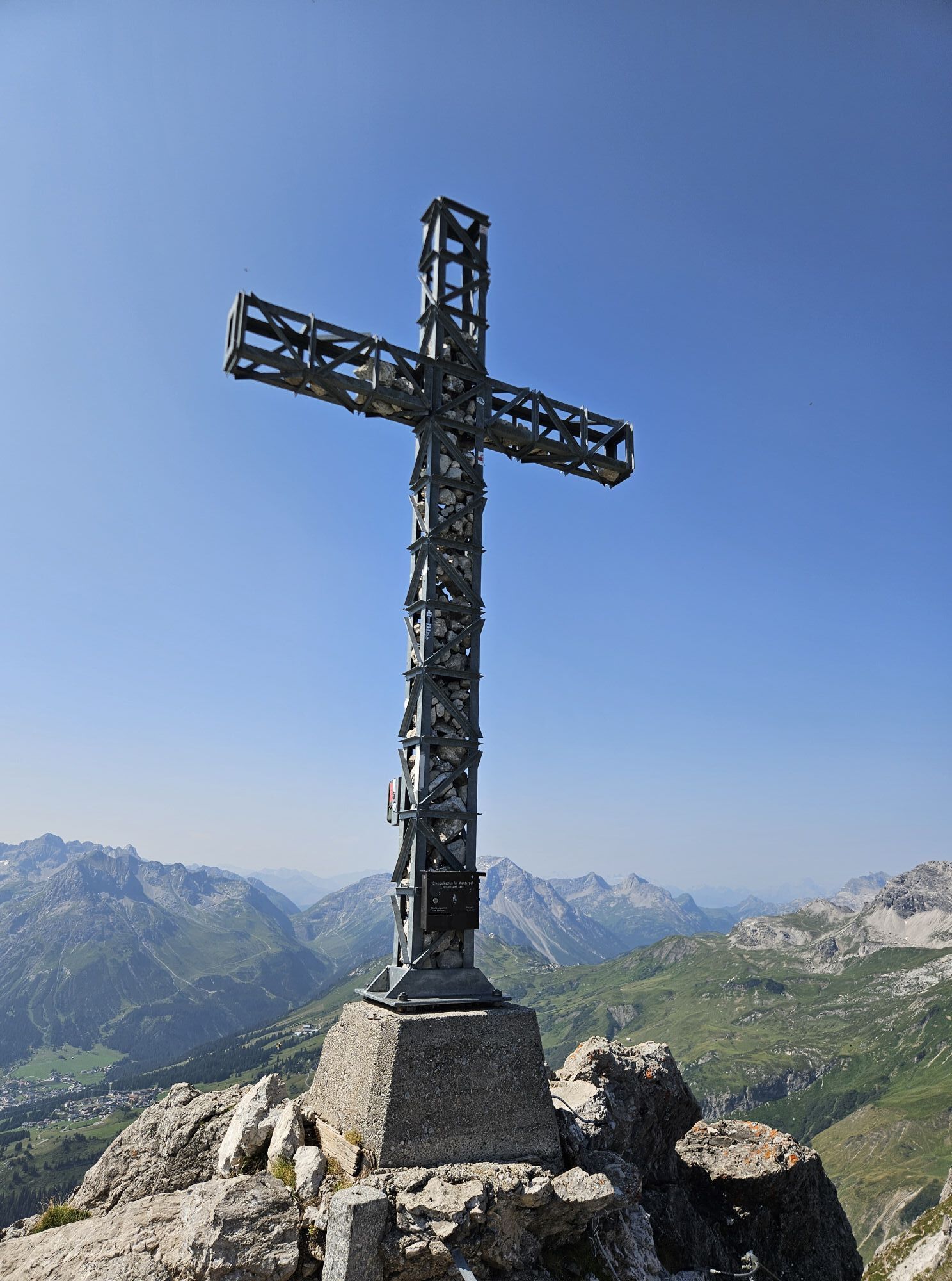
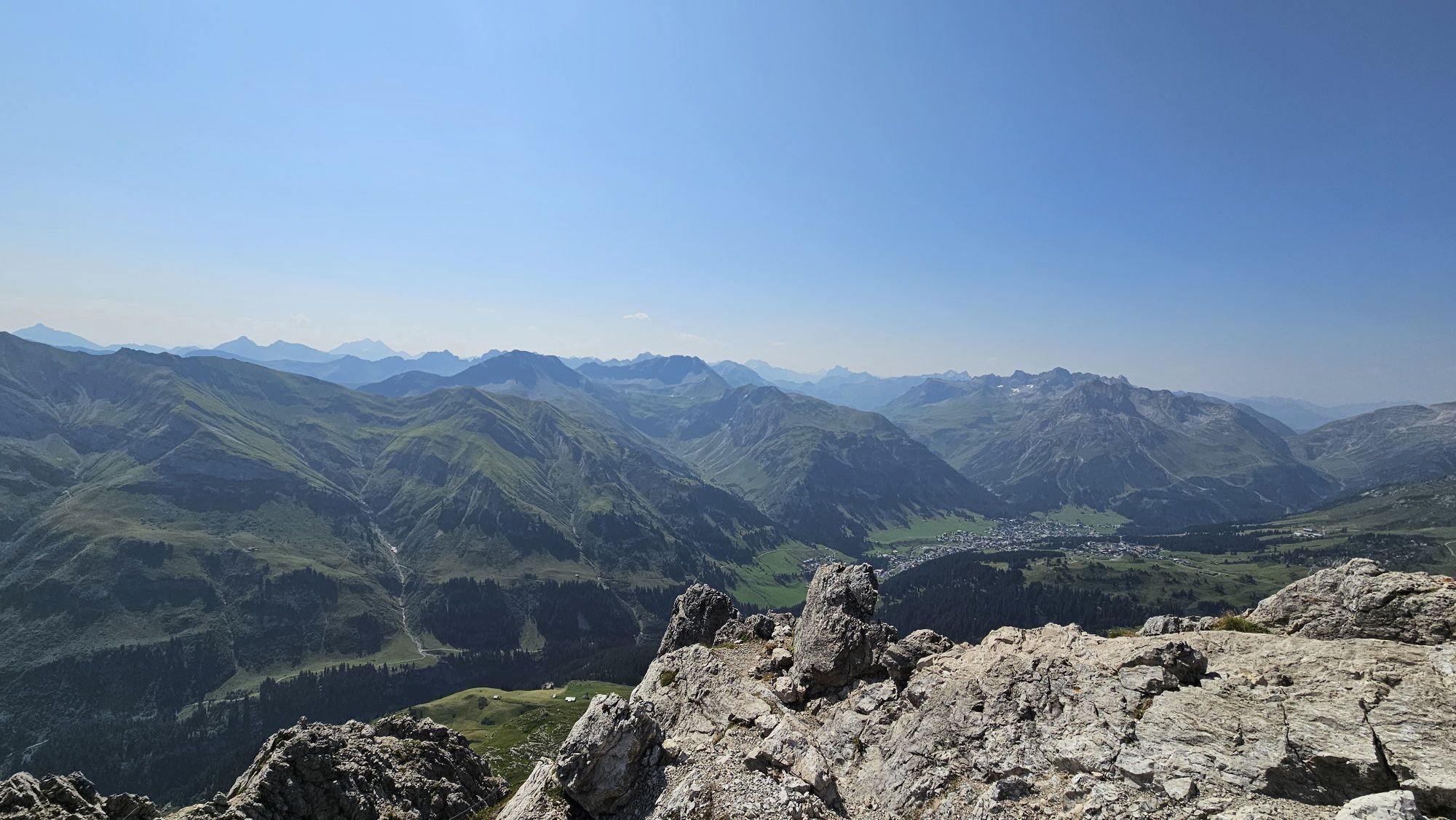
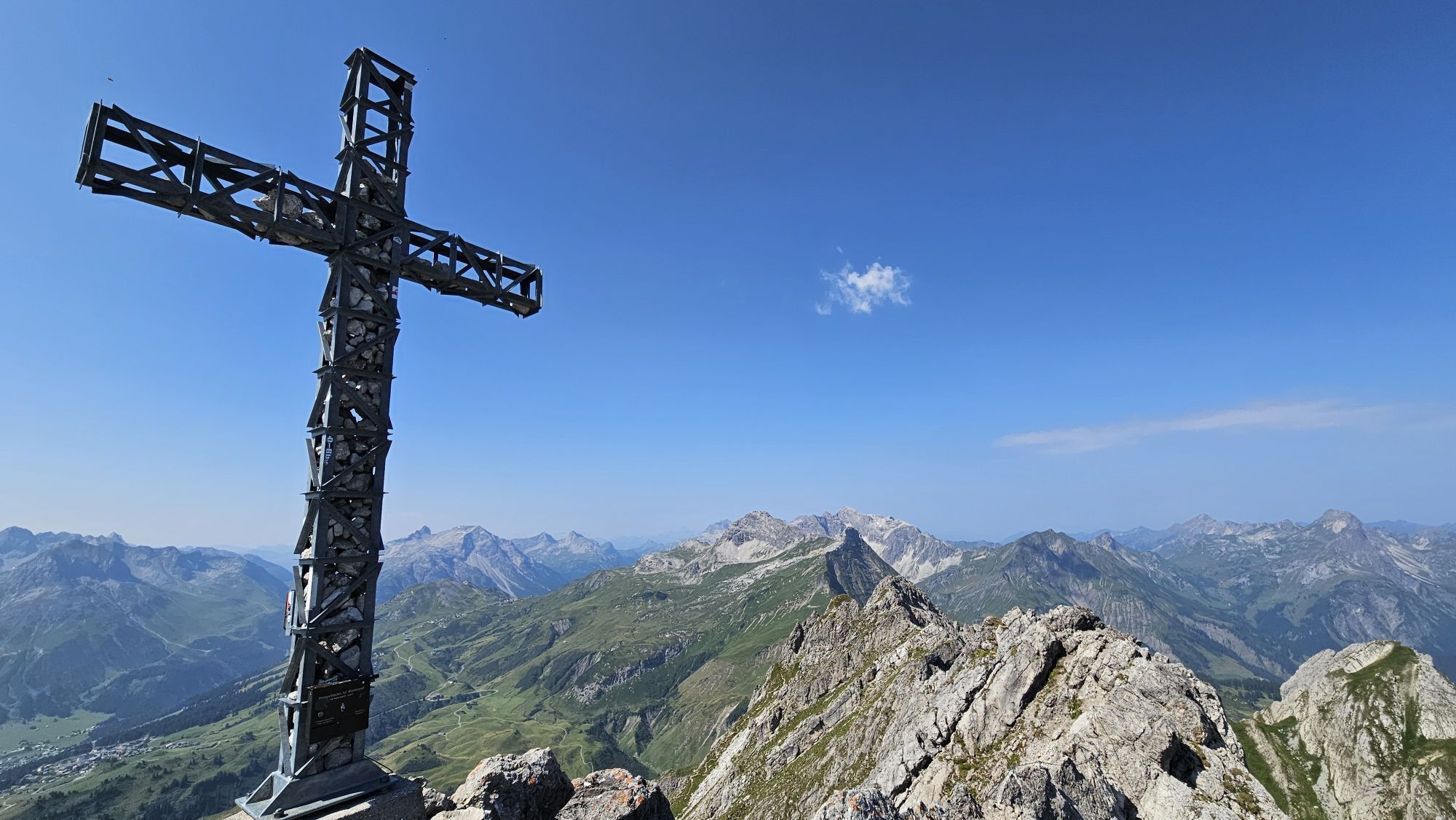
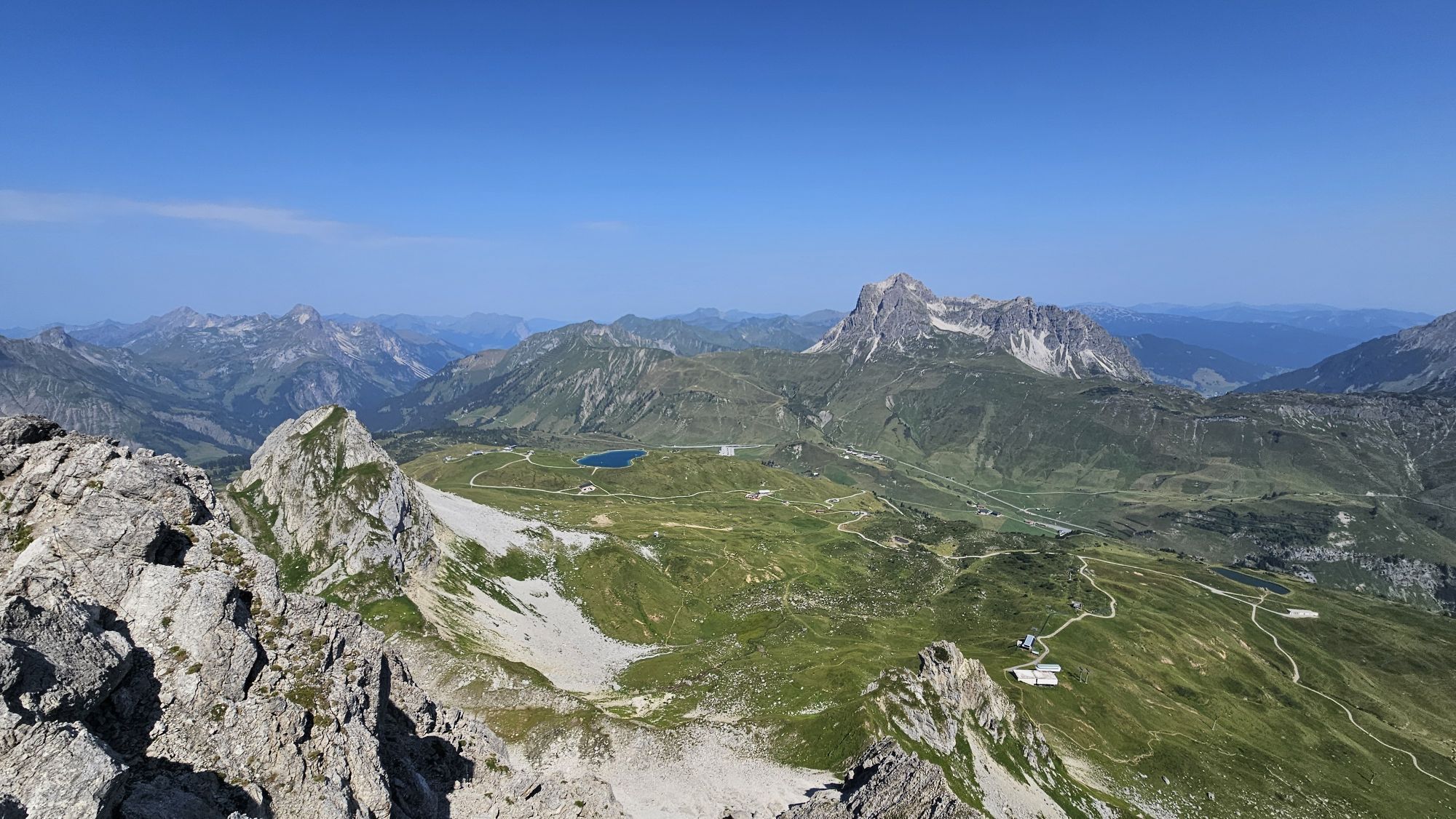
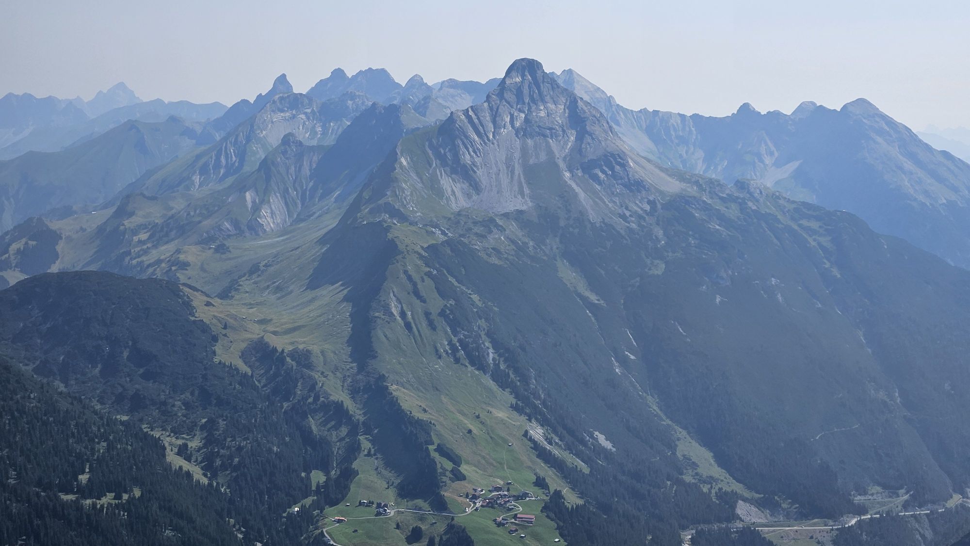
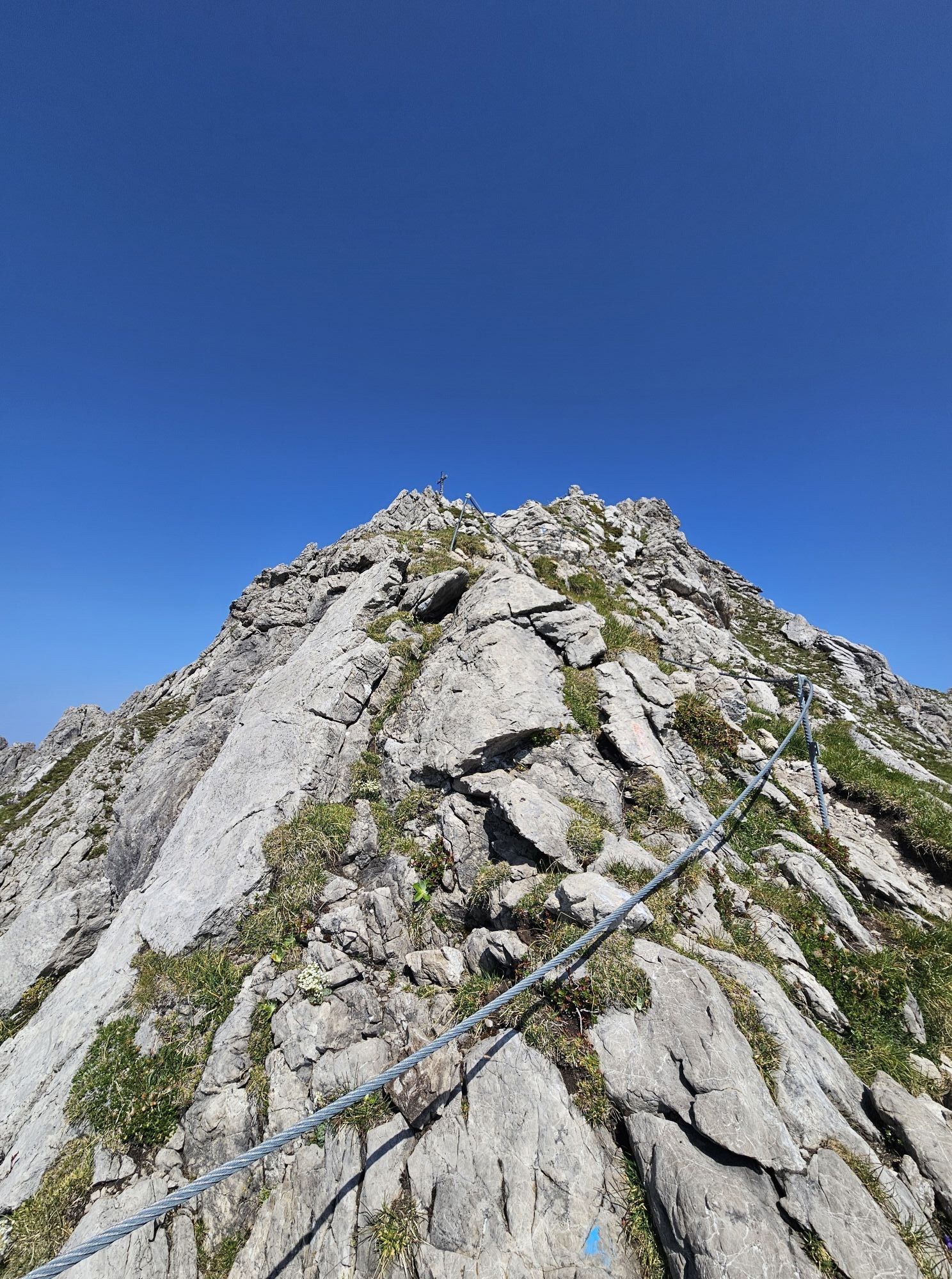
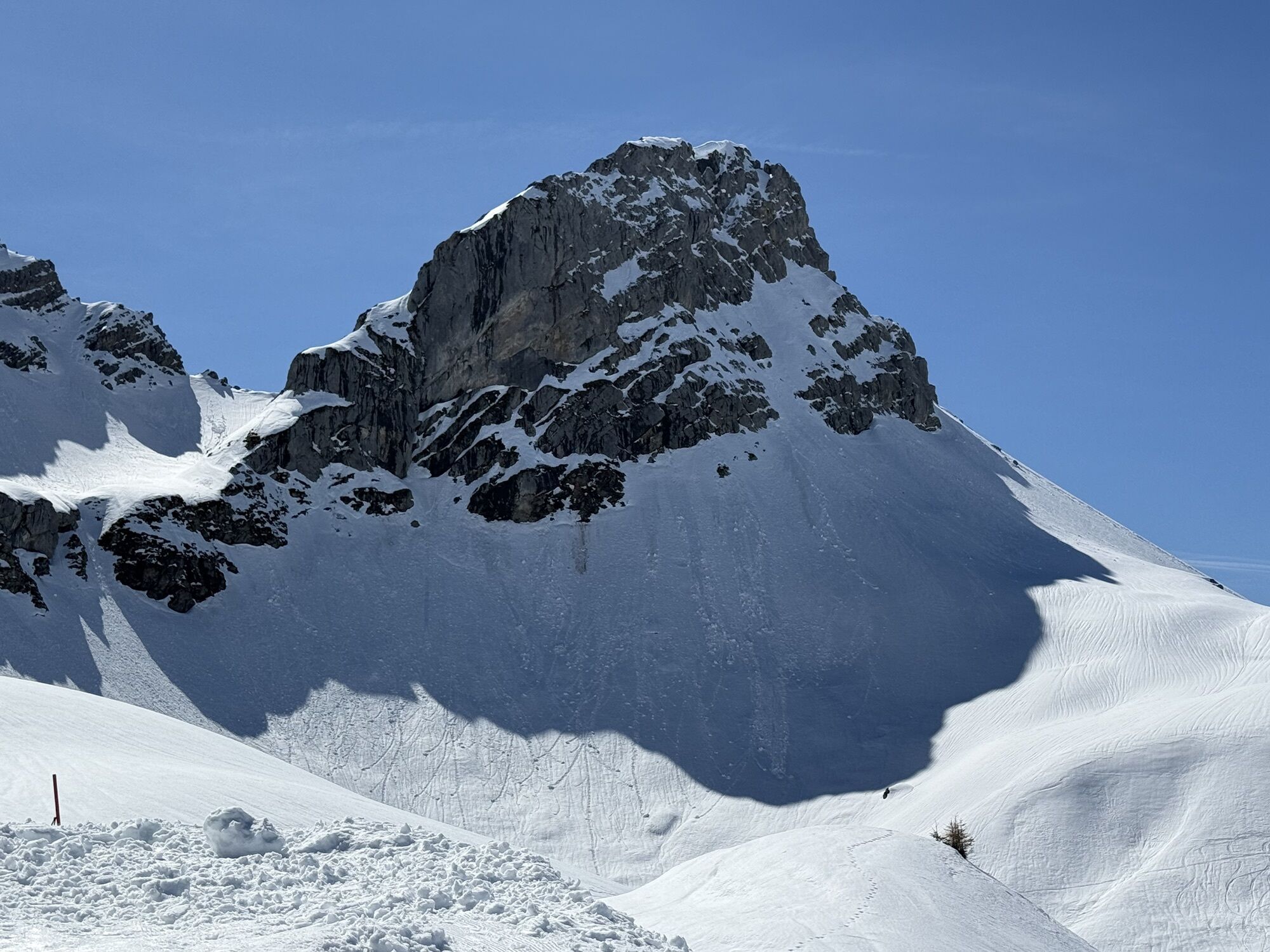
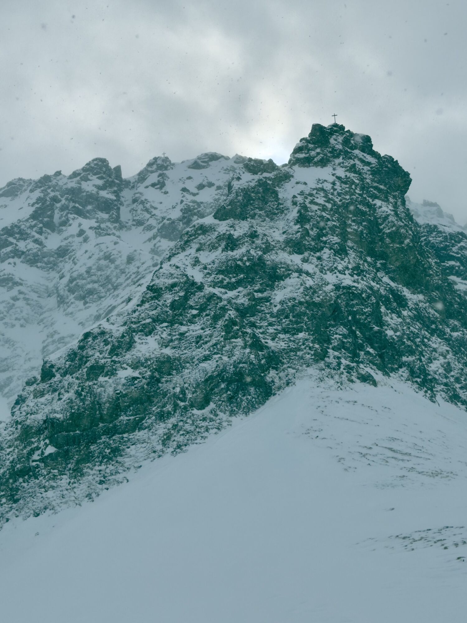
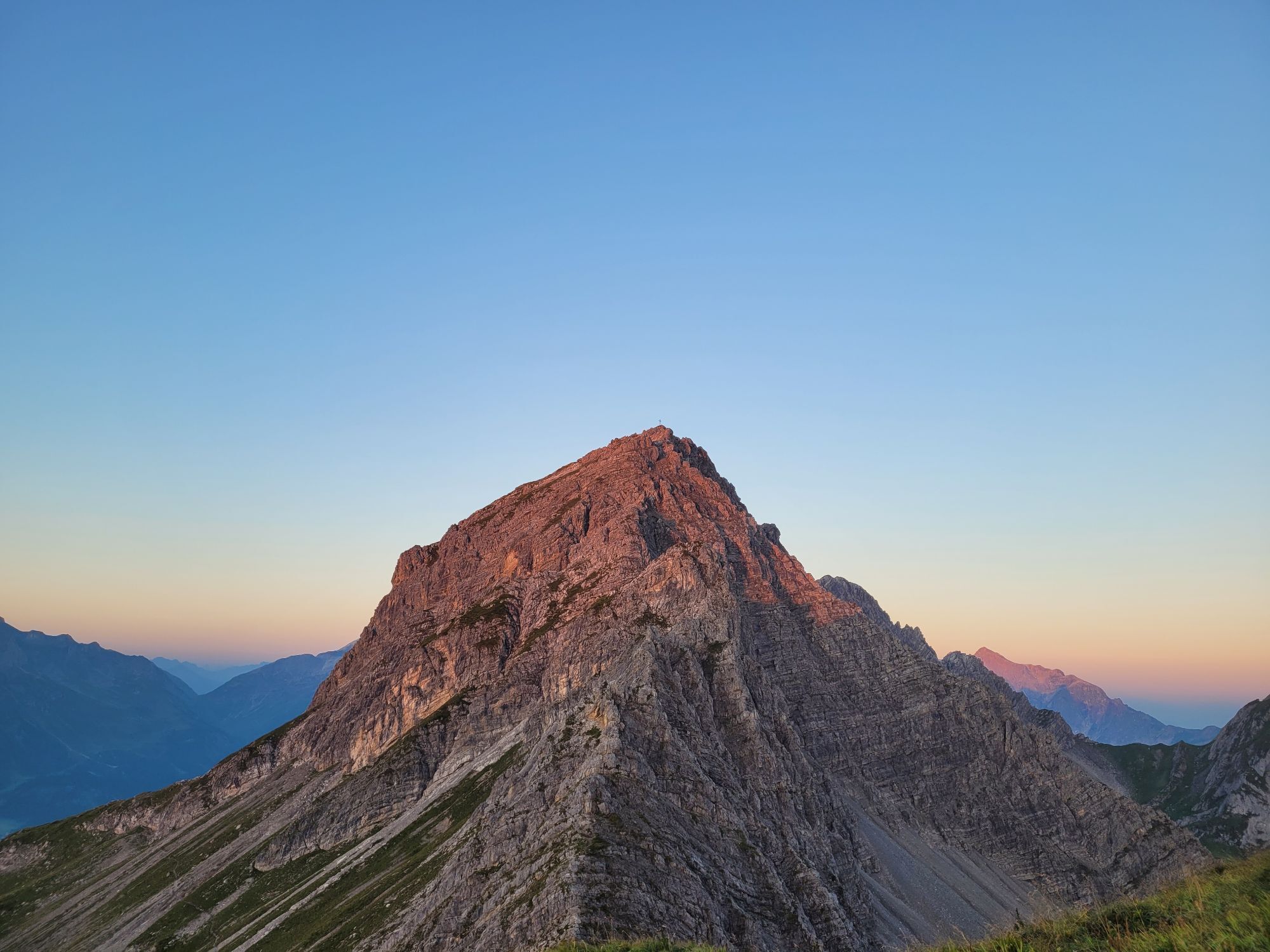
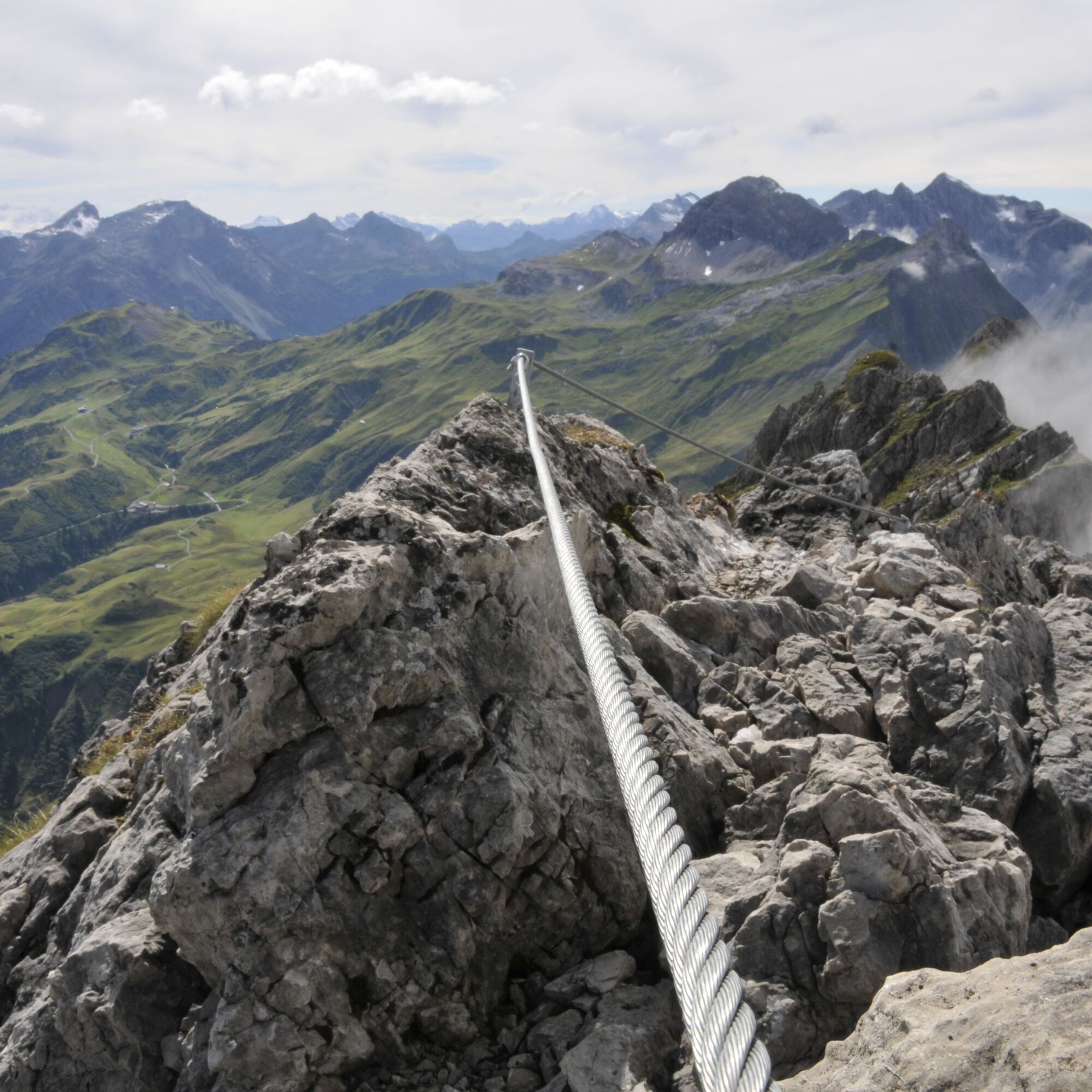
Places of interest: The first fixed rope route in Vorarlberg was installed at the east ridge of the impressive Karhorn.
Refreshment facilities: Restaurants in Warth and Lech am Arlberg
Webcams de la tournée
Flühenlift
Warth / Hotel Walserberg
Oberlech
Lech am Arlberg - Hotel Goldener Berg Oberlech
Lech am Arlberg - Pension Bergland
Warth-Schröcken - Saloberarena
Warth-Schröcken - Saloberjet
Lech am Arlberg - Kriegerhornbahn
Schröcken
Lech am Arlberg - Sporthaus
Körbersee
Warth-Schröcken - Widdersteinhütte
Zug
Lech am Arlberg
Oberlech - Pension Bergland
Lech - Wöstersattel
Schmelzhof
Chalet Anna Maria
Lech Rüfikopf
Skischule Warth
Warth
Haldenhof


Parcours populaires à proximité
- 4,9
Holzgau zur Rossgumpenalm
moyenRandonnée 4,09 km - 4,6
Randonnée en montagne sur la crête du Fellhorn
moyenRandonnée 8,24 km - 4,8
Parcours circulaire dans la vallée de Gemsteltal
facileRandonnée 5,53 km - 4,2
2-Länder-Panorama-Rundwanderweg Fellhorn/Kanzelwand
facileRandonnée 6,70 km - 4,5
Parcours circulaire dans la vallée de Derra
moyenRandonnée 8,11 km - 4,7
Widderstein Runde von Baad
moyenRandonnée 15,8 km - 4,7
E5 - 1. Etappe: Oberstdorf - Kemptner Hütte
facileChemin de Grande Randonnée 7,80 km - 4,7
Randonnée circulaire dans la vallée du Duratal
moyenRandonnée 7,77 km - 4,3
Parcours circulaire à travers la vallée de Bärgunt
moyenRandonnée 4,75 km - 4,8
Biberkopf
difficileRandonnée 7,70 km
Randonnée et suivi


Ne manquez pas les offres et l'inspiration pour vos prochaines vacances
Votre adresse électronique a été ajouté à la liste de diffusion.





