







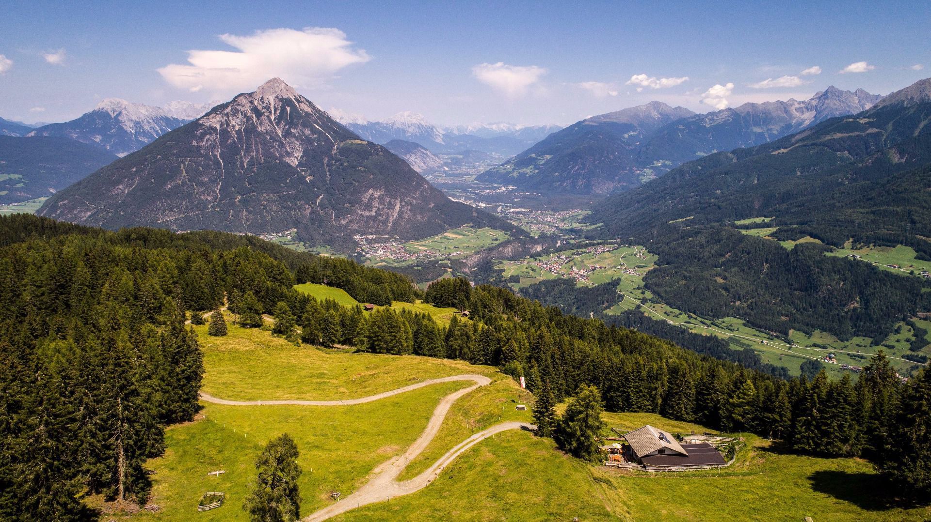
Panoramatour Venet Alm
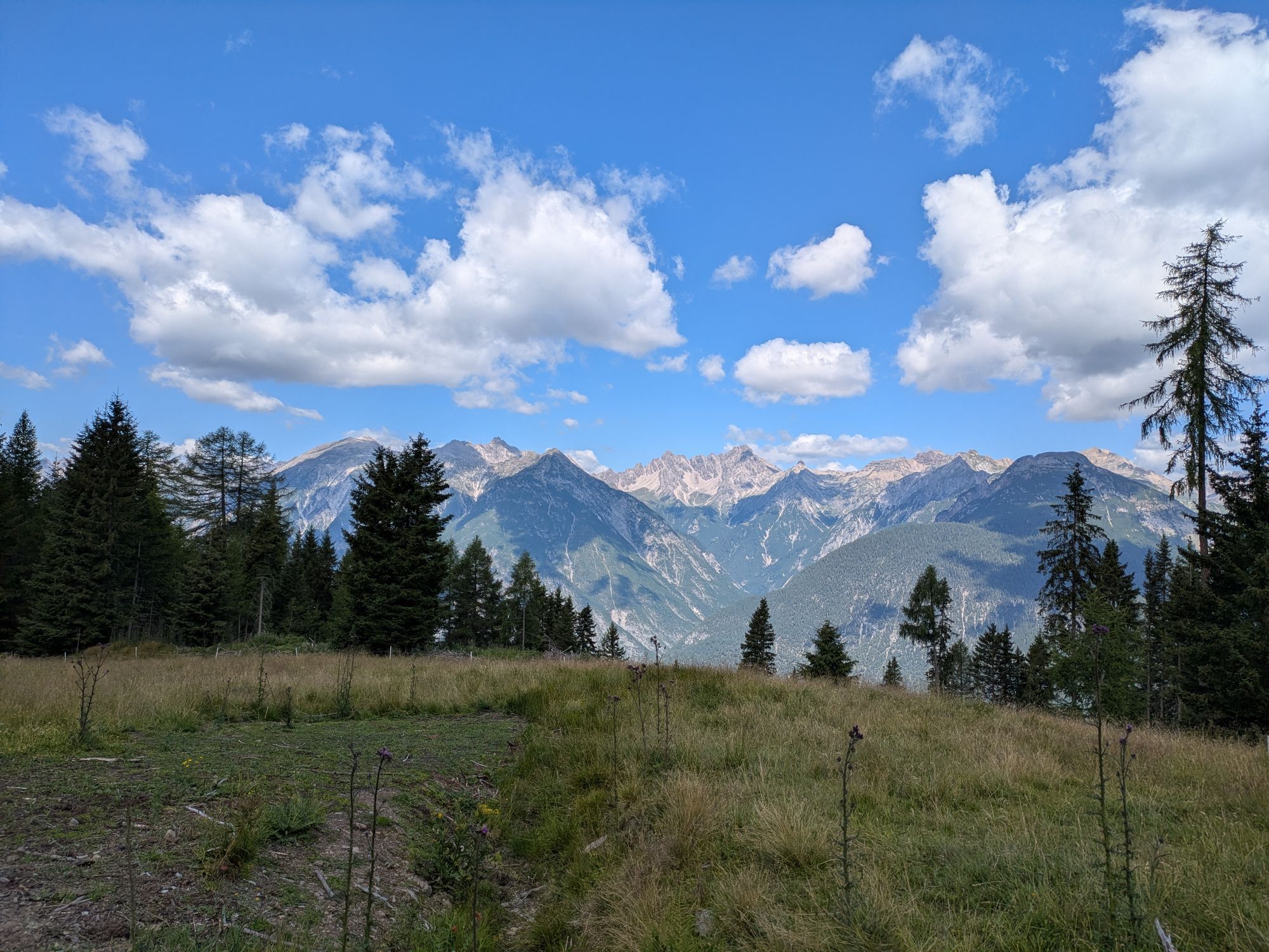
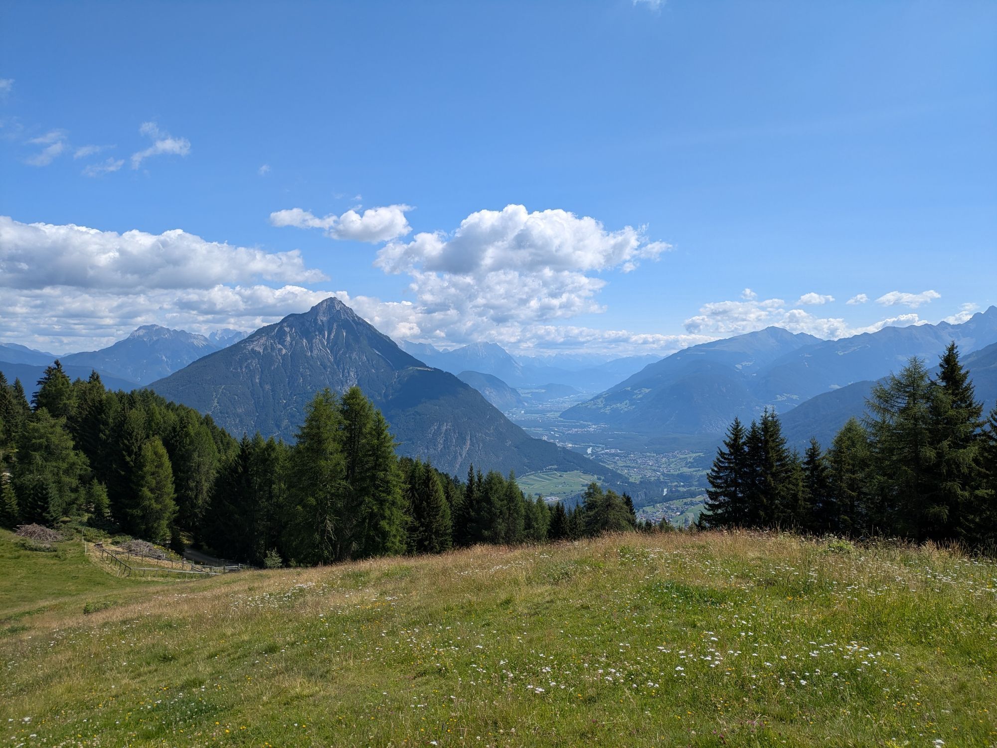
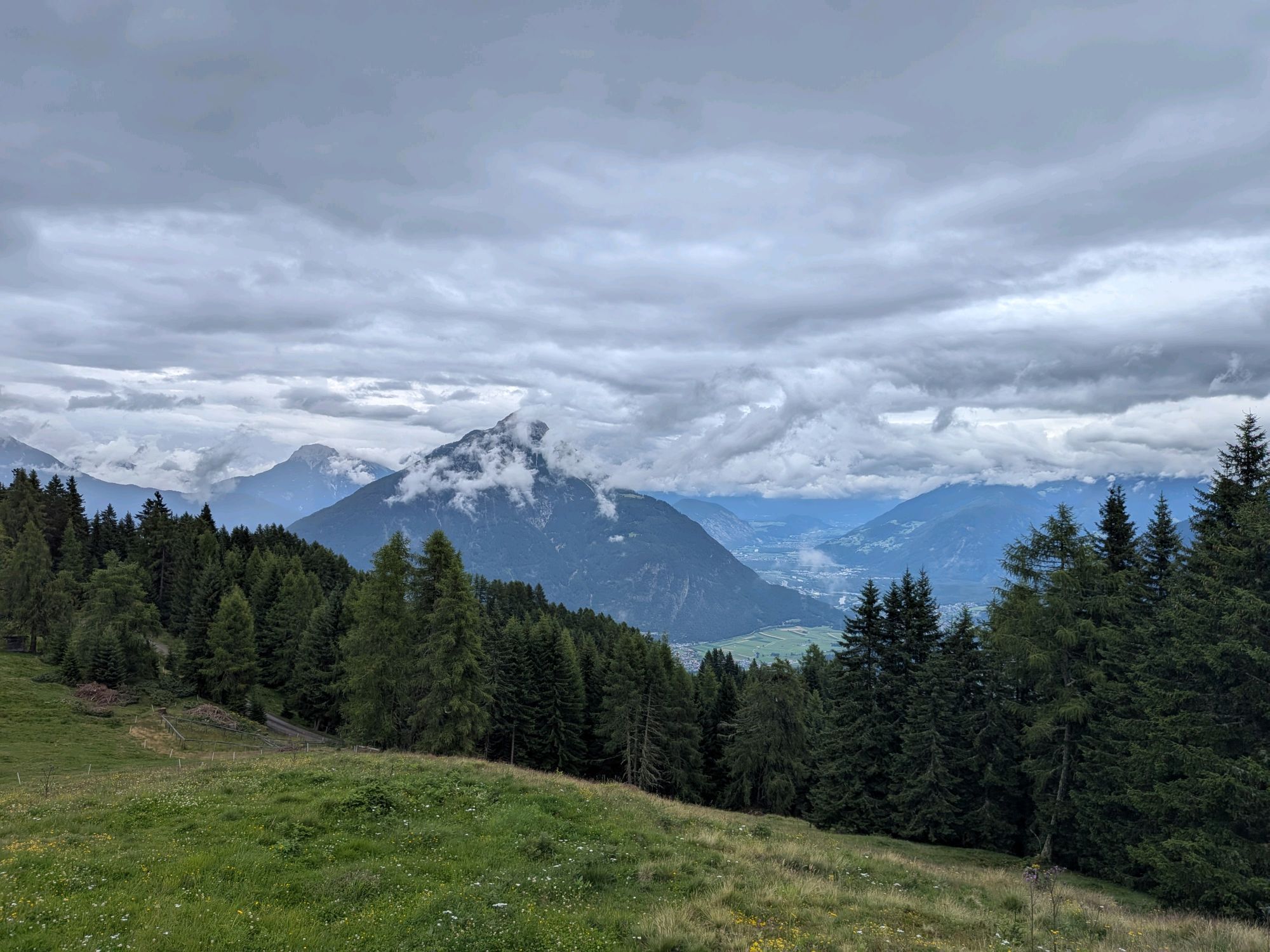
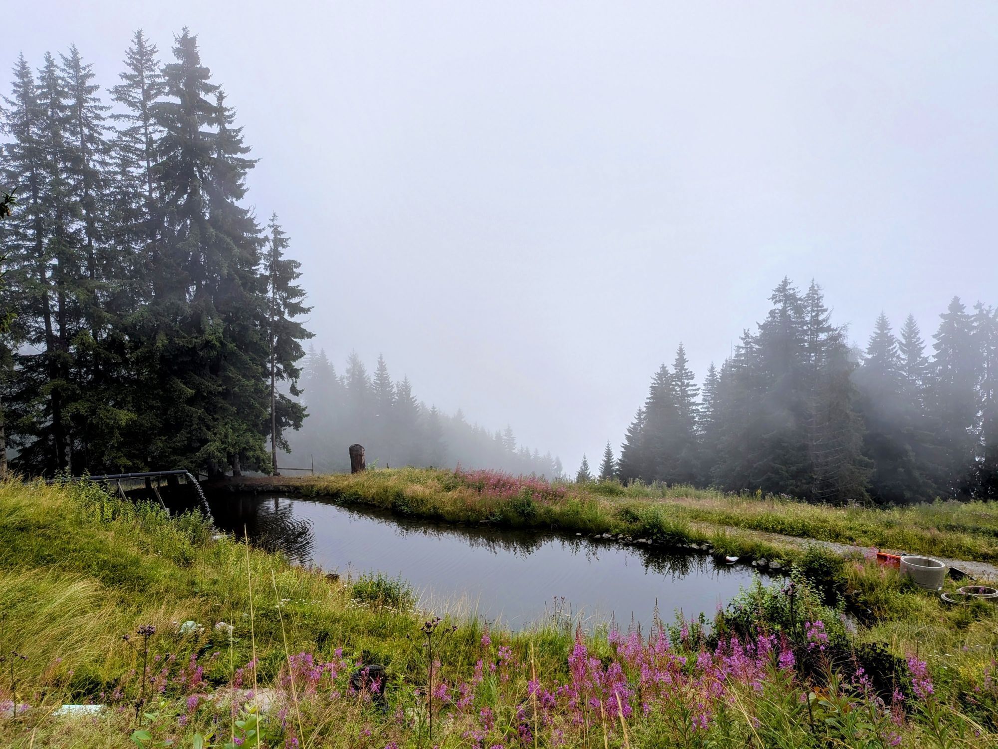
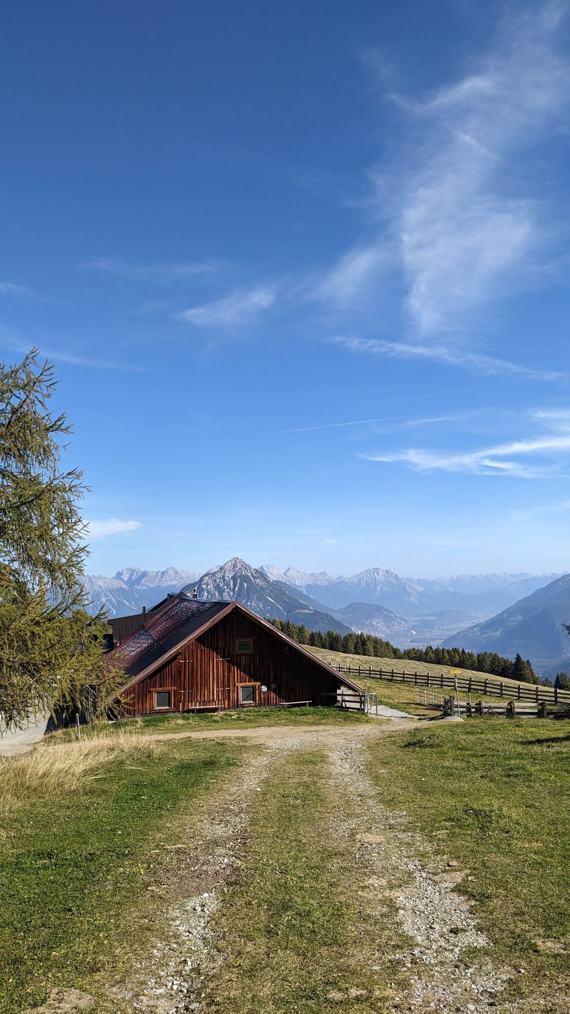
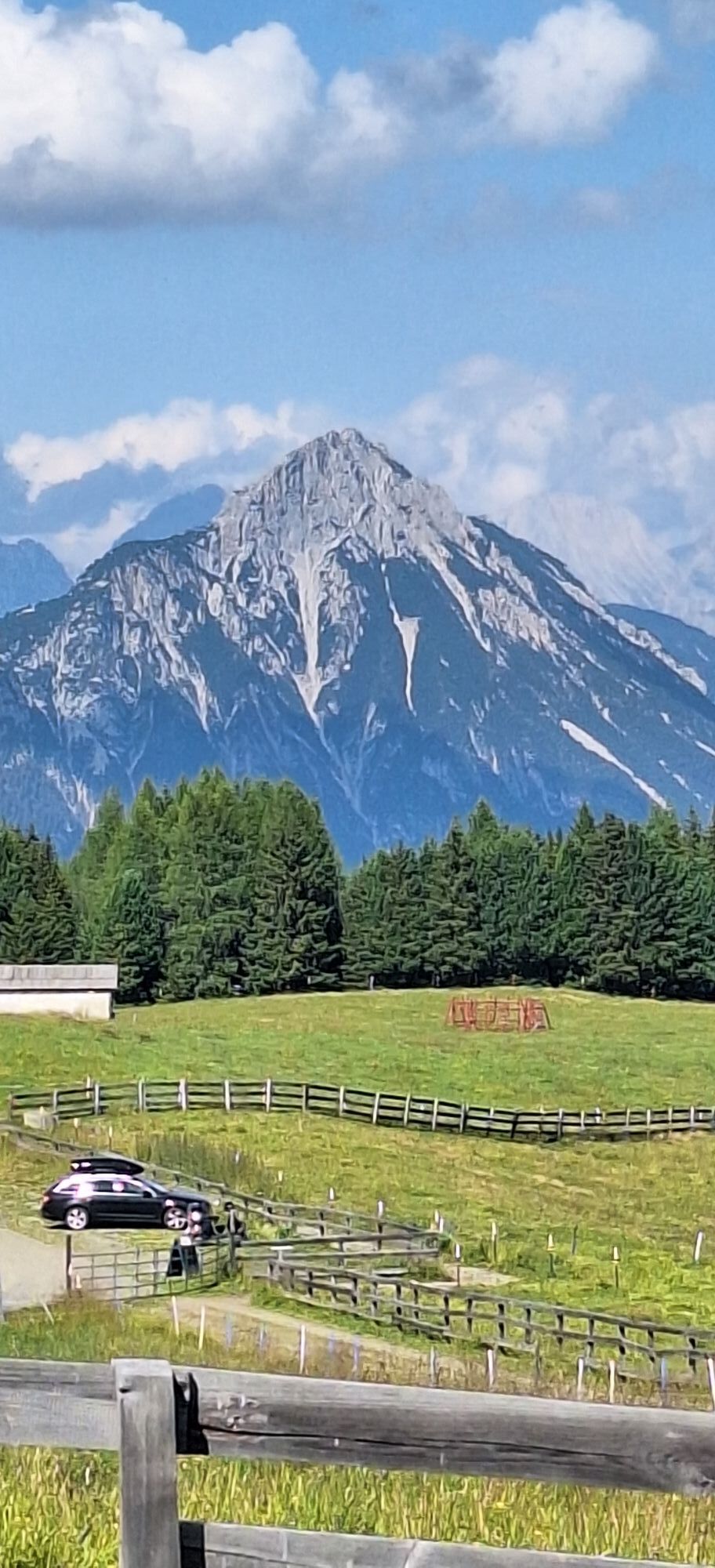
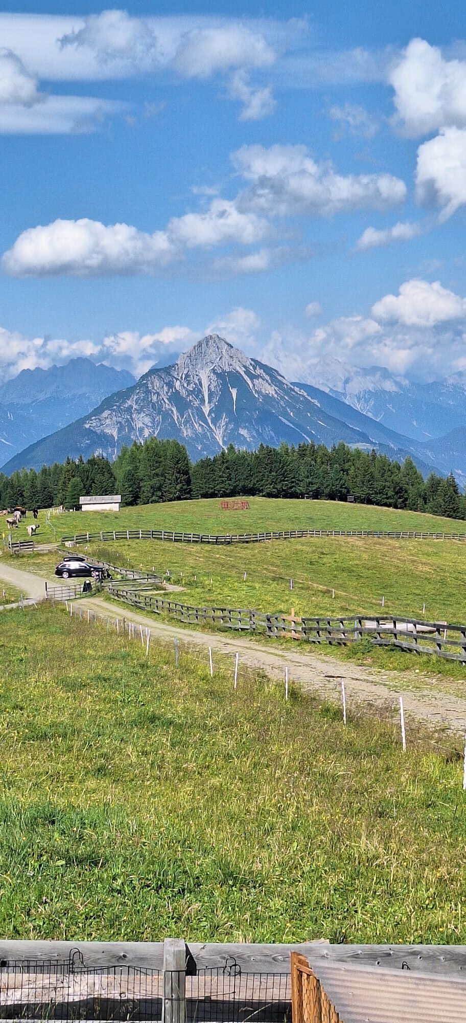
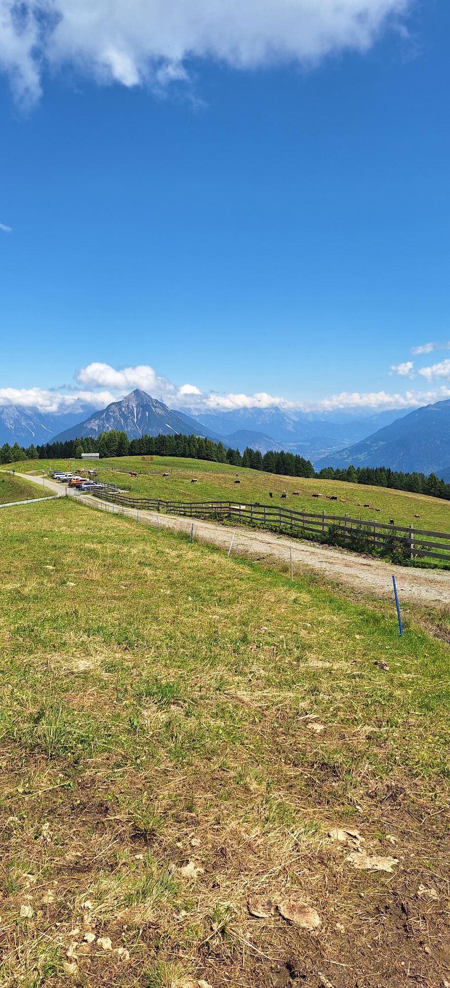
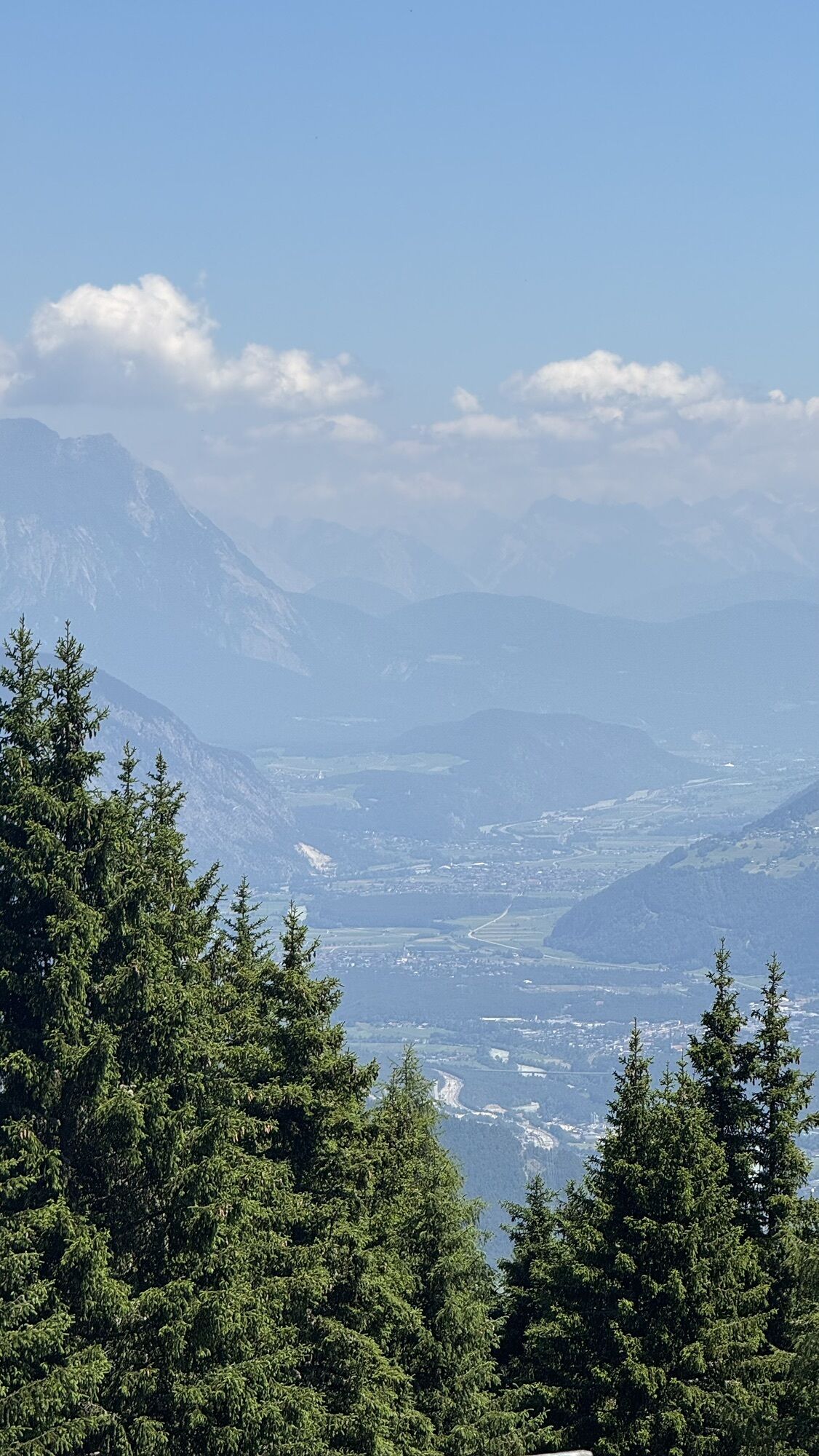
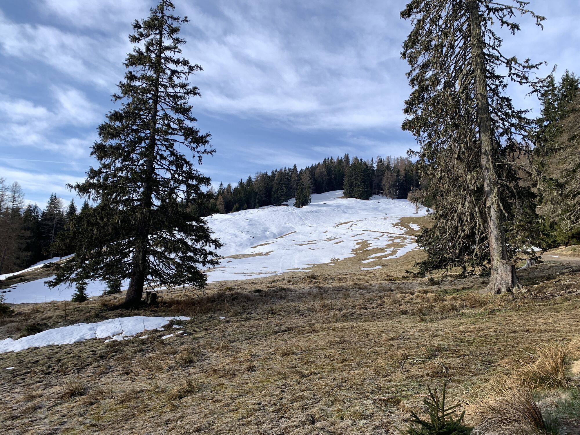
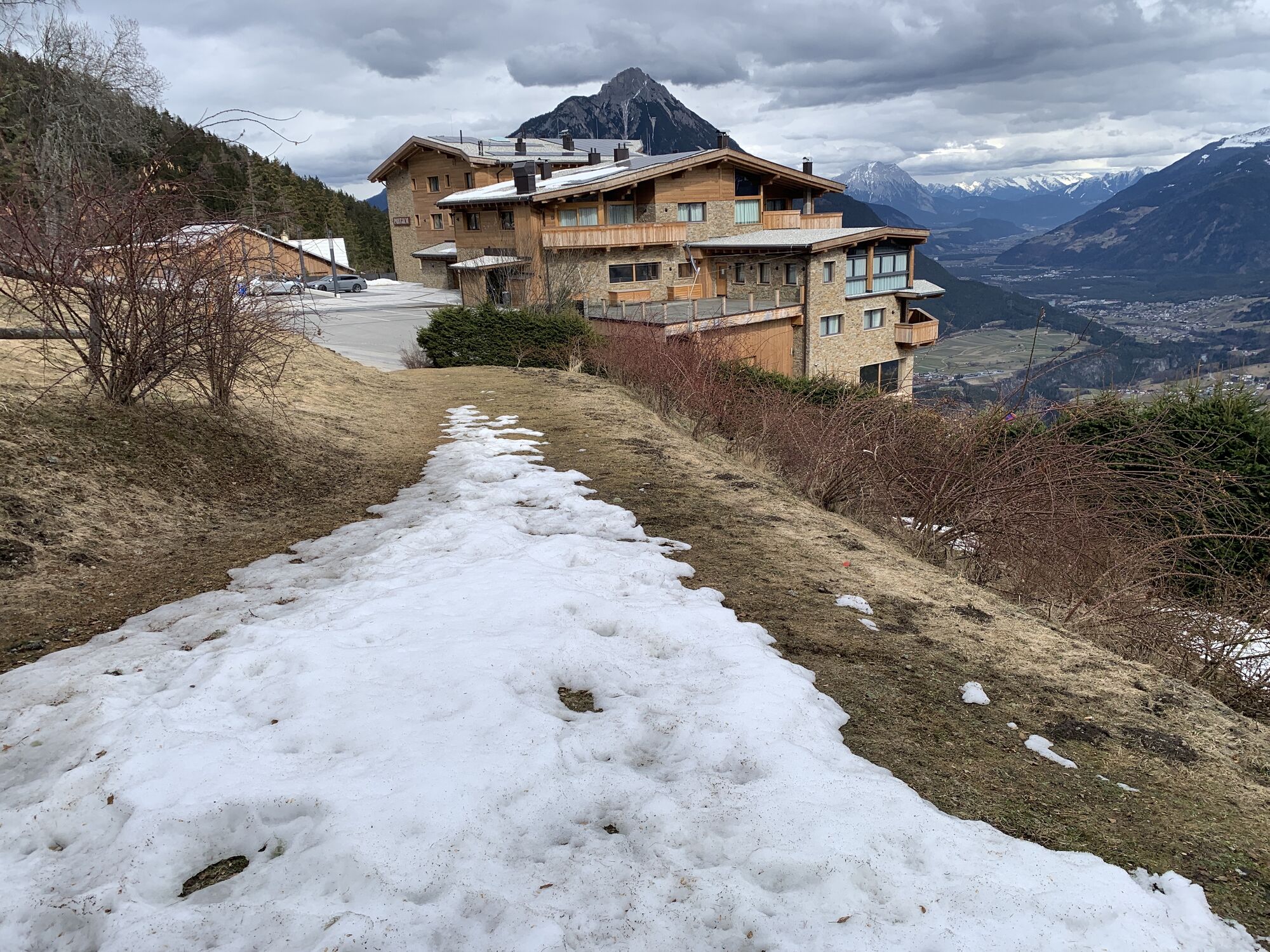
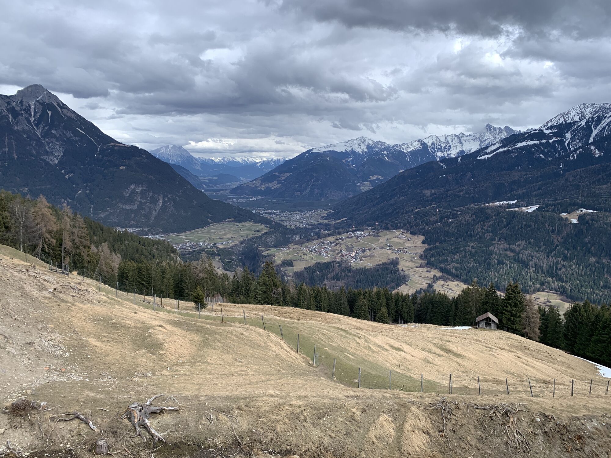
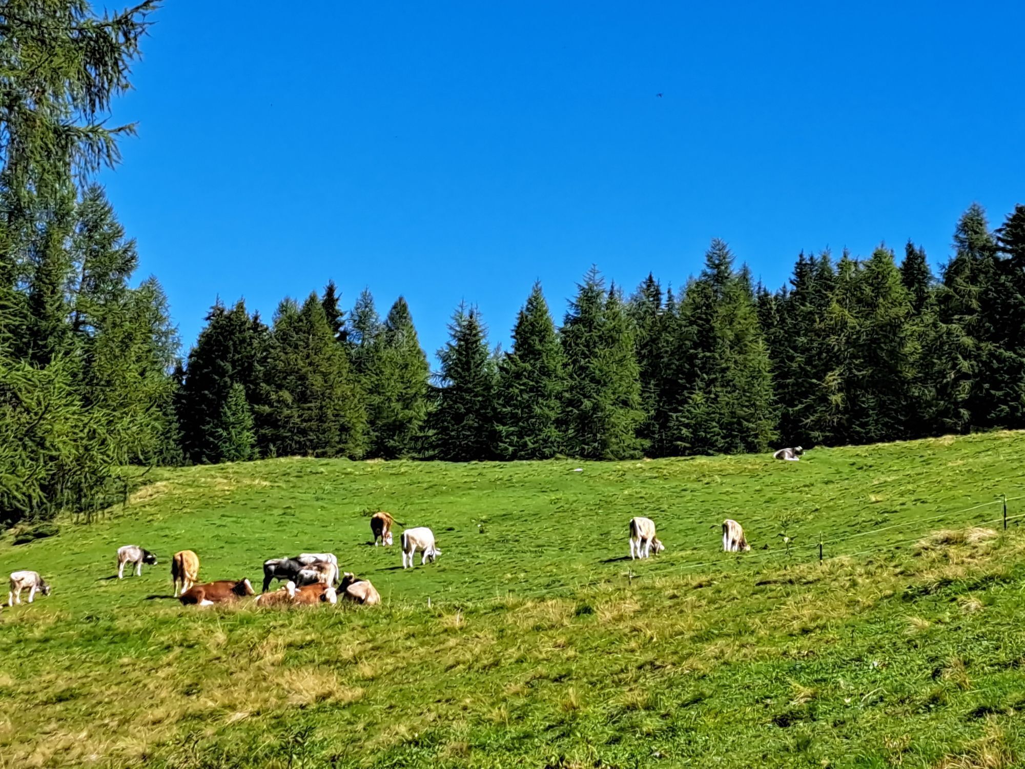

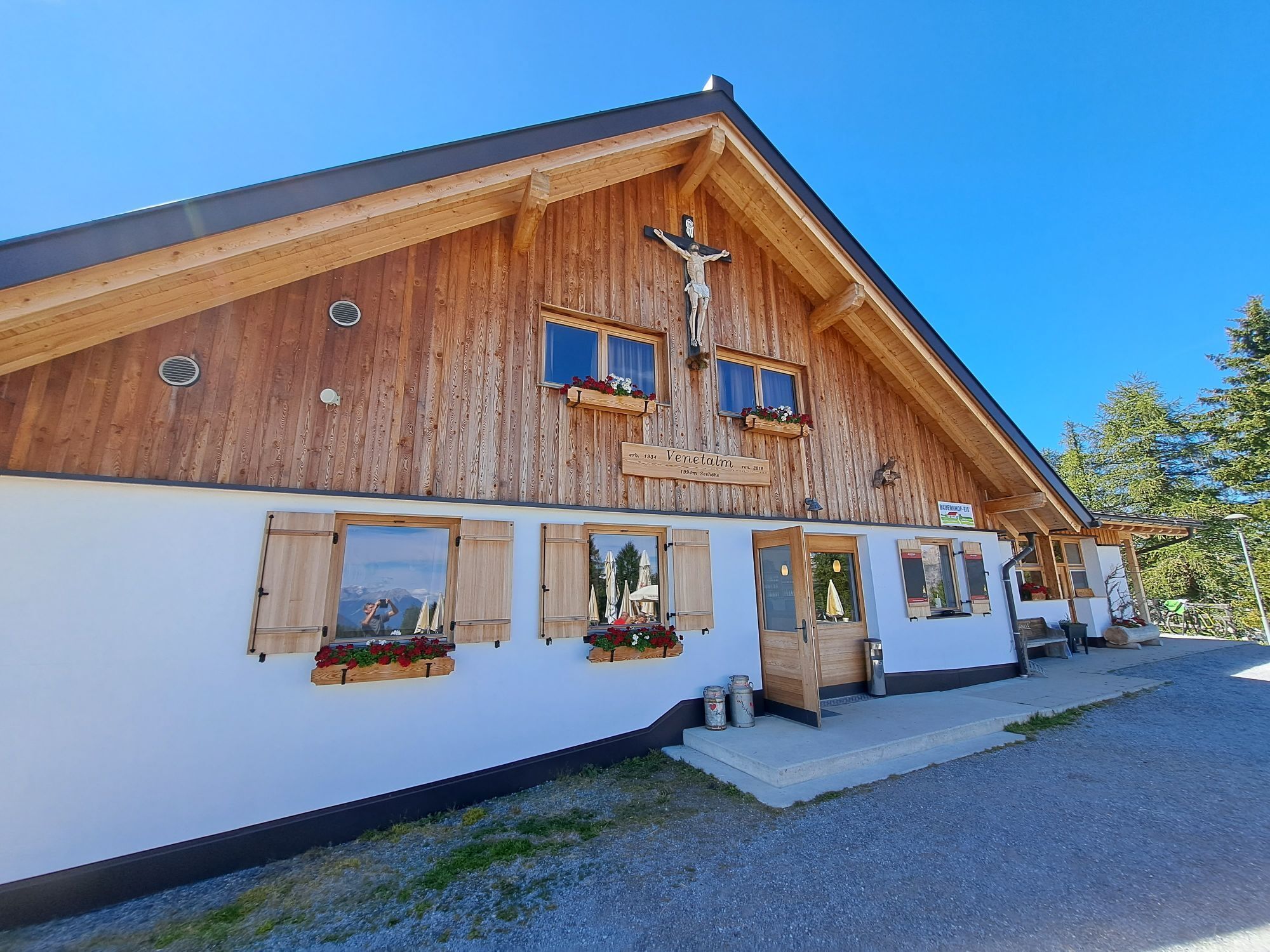
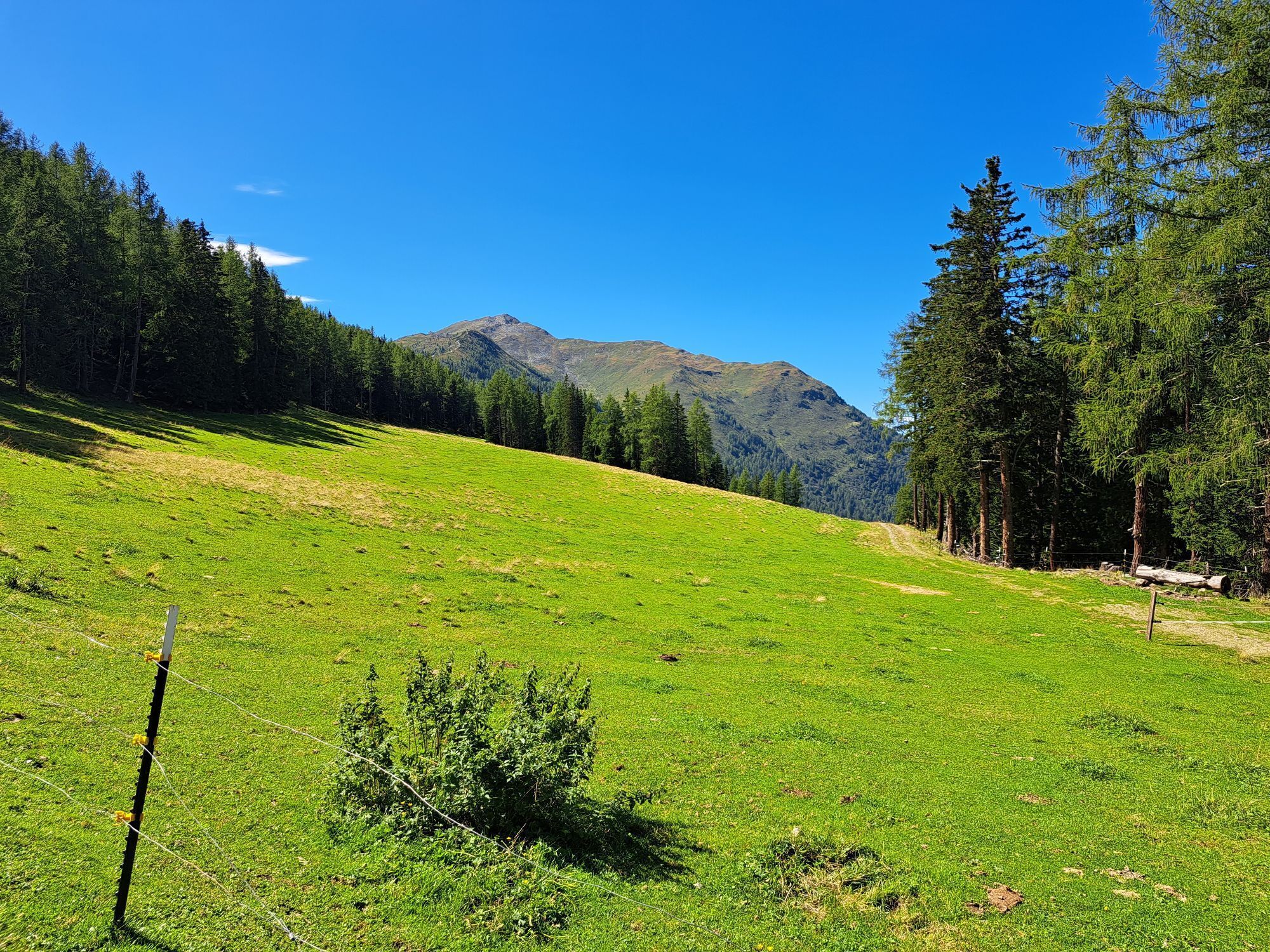
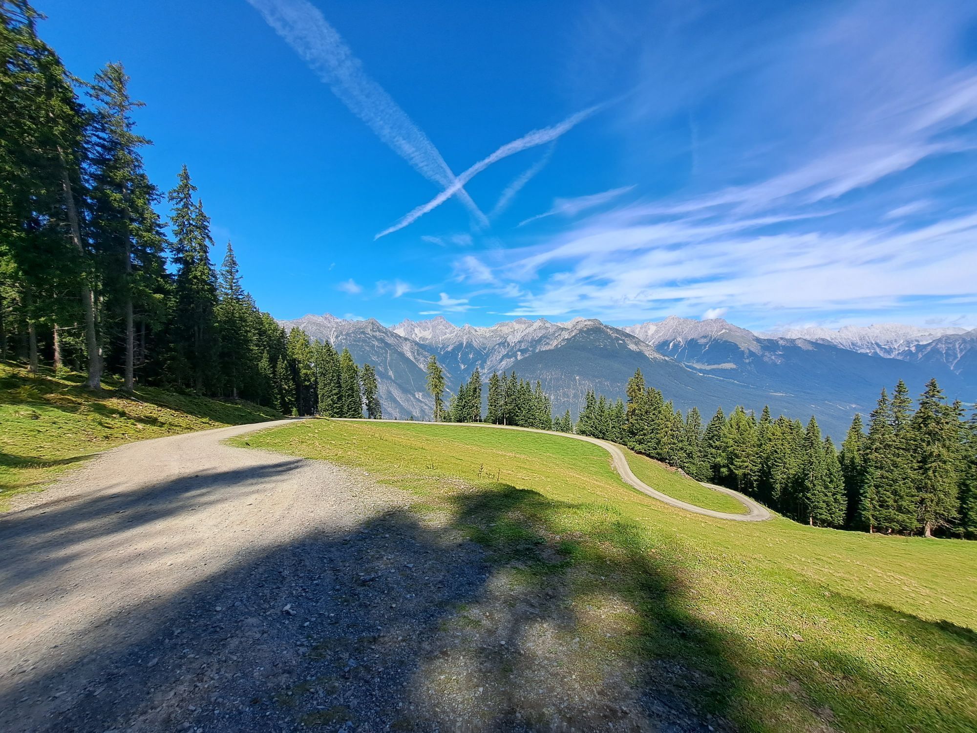
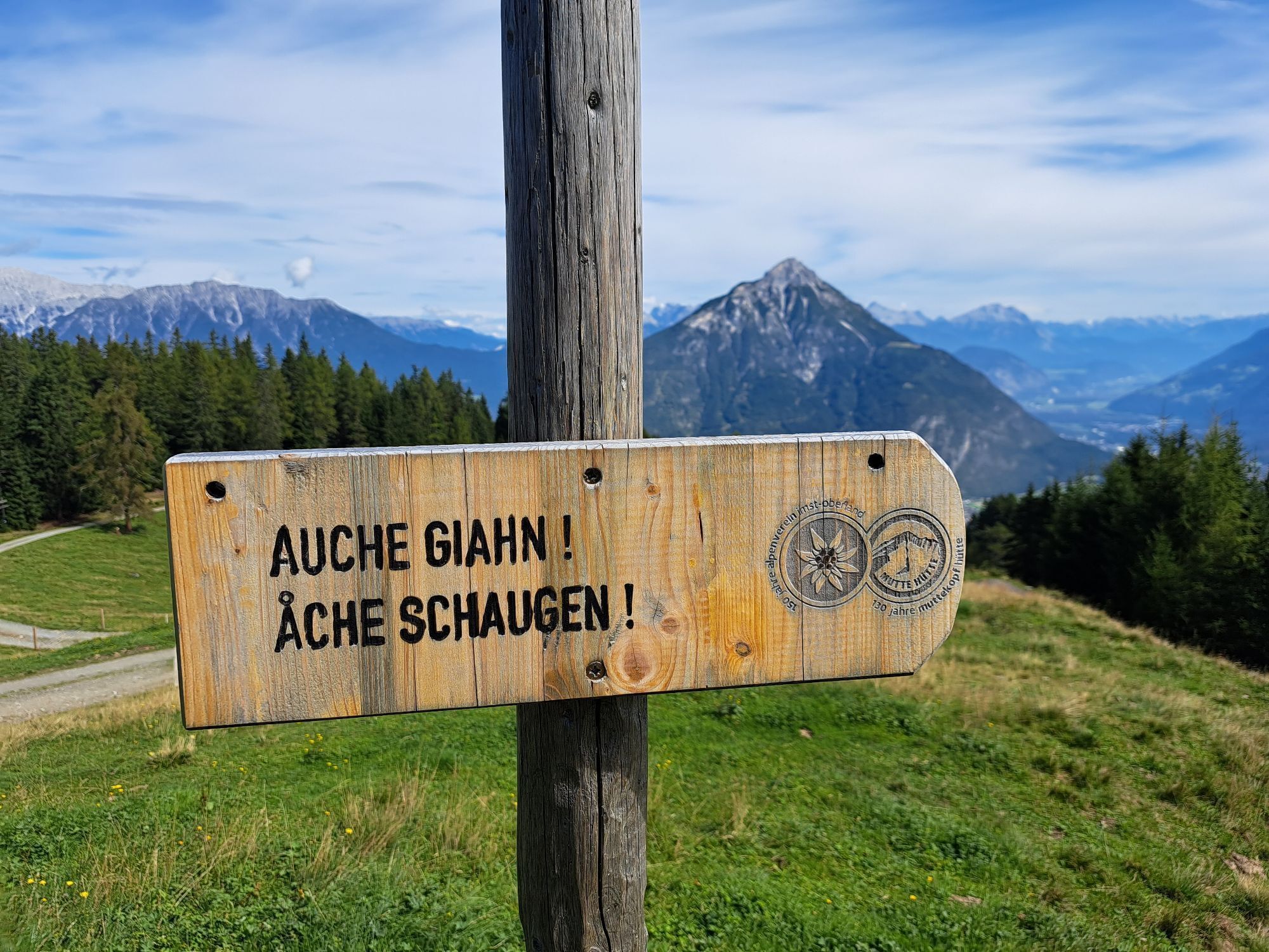
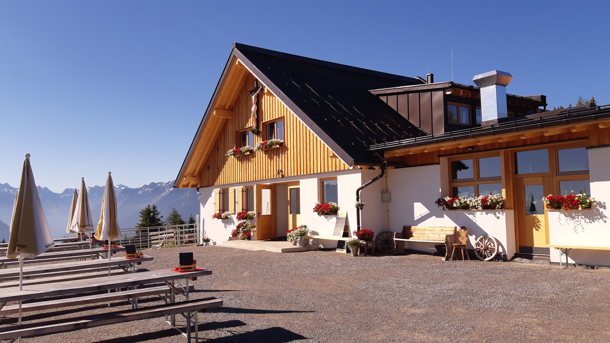
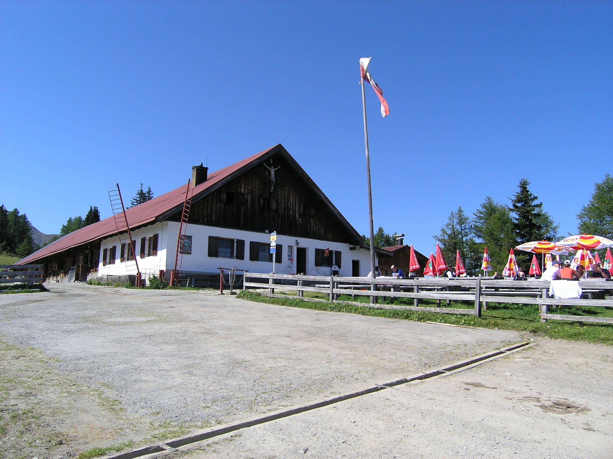
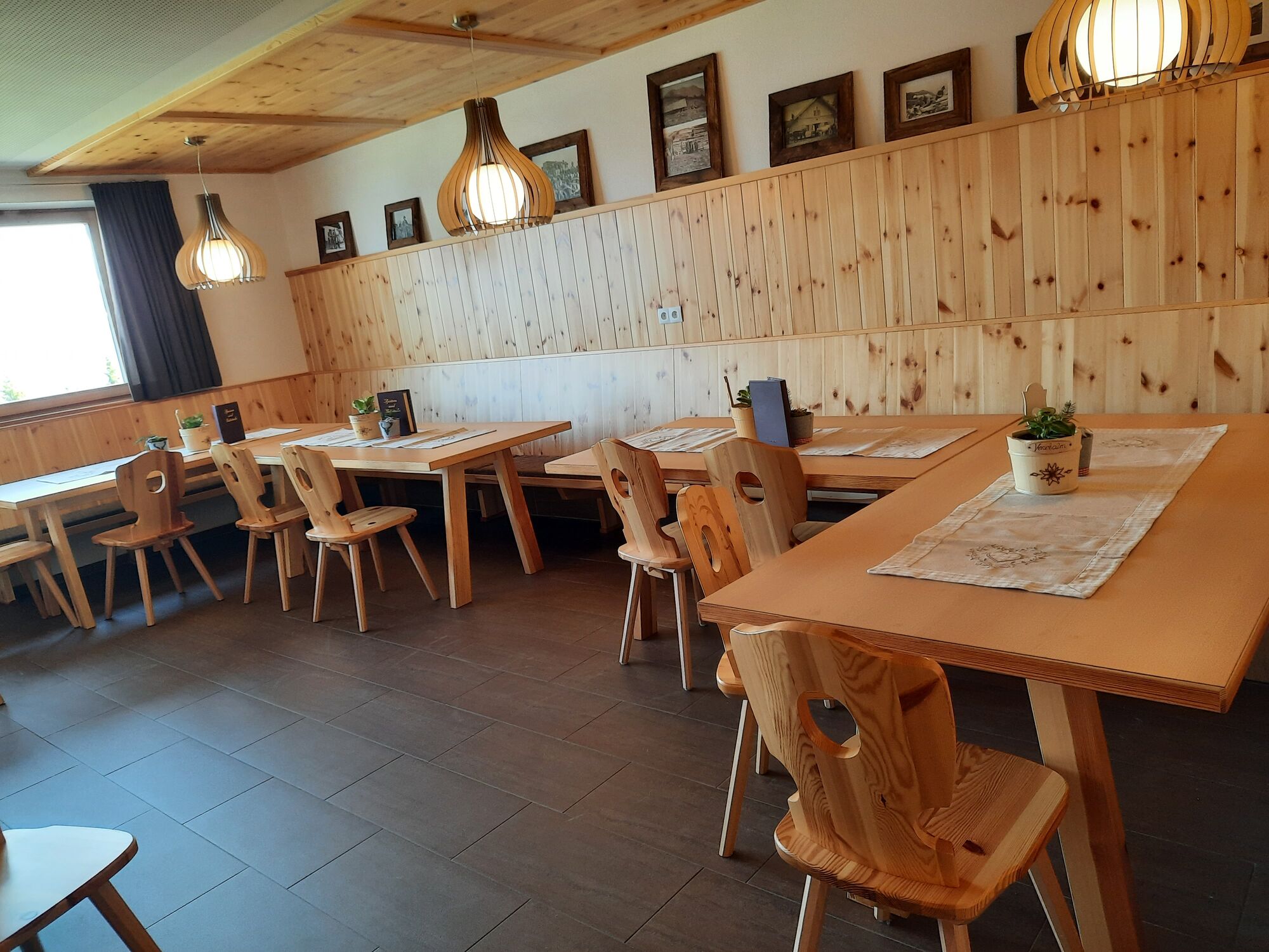
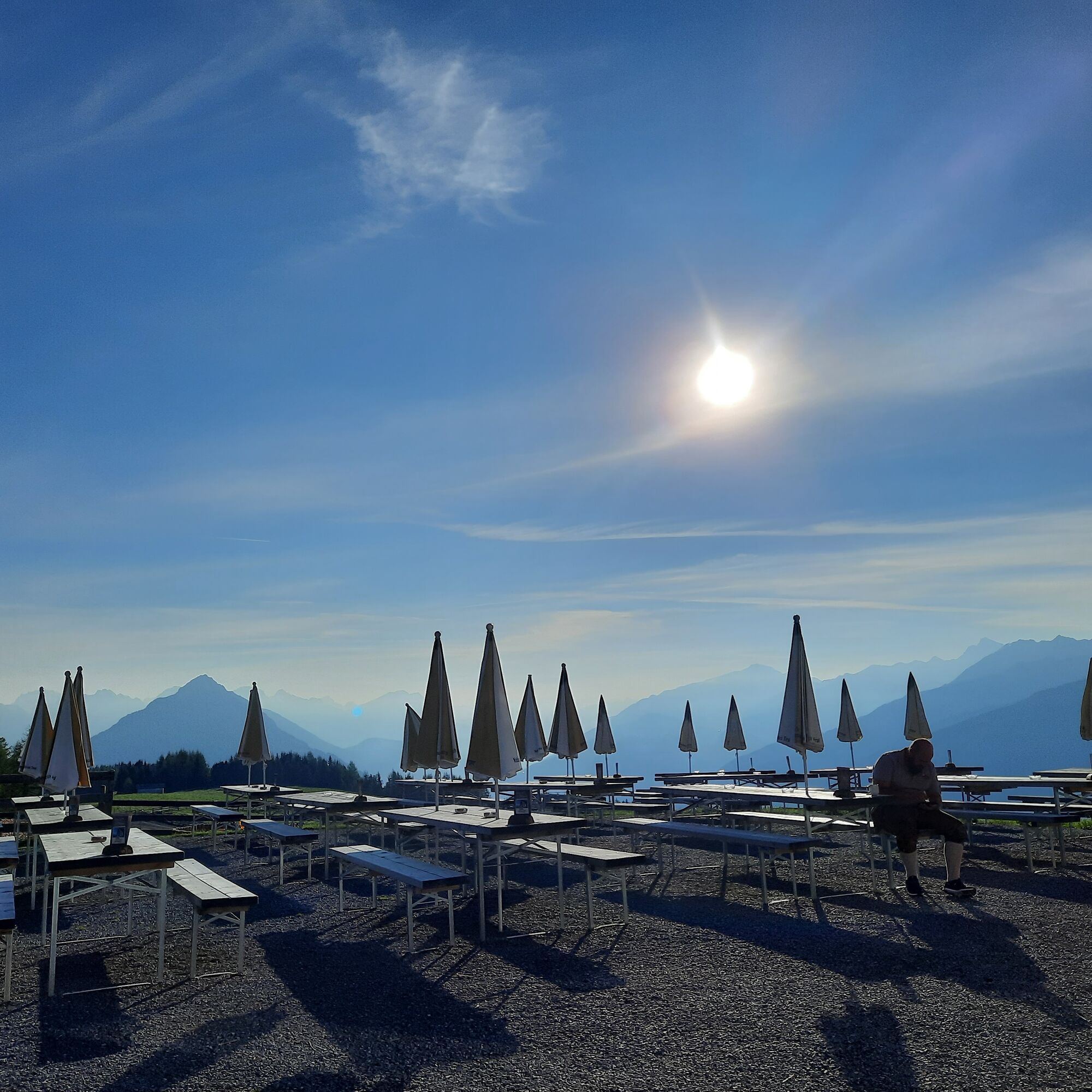
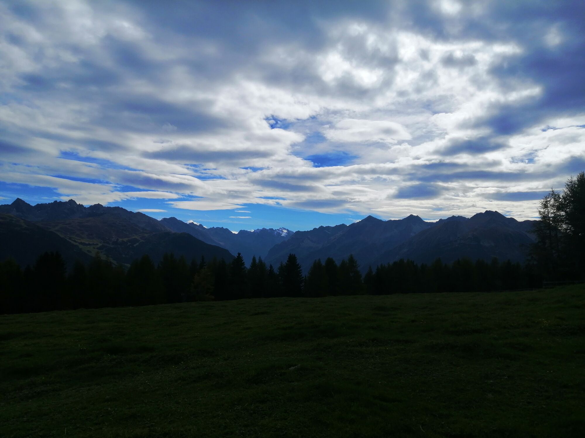
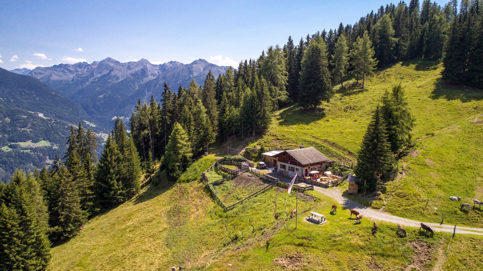
Walk along a steeper path from Plattenrain to the catered mountain hut Hochastner Alm. Then walk along the mountain ridge along a beautiful forest path directly to the catered mountain hut Venetalm. (Signposted...
Walk along a steeper path from Plattenrain to the catered mountain hut
Hochastner Alm. Then walk along the mountain ridge along a beautiful
forest path directly to the catered mountain hut Venetalm. (Signposted as
“Venet-Rundwanderweg” Venet circular route). To return, turn left at the first fork and continue to walk along this path back to Hochaster Alm and then continue to walk on the same path as on your way up initially. After the fork keep left and the forest road will take you back to the un-catered mountain hut Timler Alm and to the starting point.

Oui

Parcours populaires à proximité
- 4,7
Trip Tirol ➤ Randonnée vers la Grotte Bleue - Gorge de Rosengarten Imst
moyenRandonnée 4,86 km - 4,5
Oetz - Lac Piburger - Oetz
moyenRandonnée 7,16 km - 4,8
lake Piburger See
facileRandonnée 2,75 km - 4,9
Wanderung von Gramais zum wunderschönen Kogelsee.
moyenRandonnée 7,30 km - 4,6
Falkaunsjoch / Kuglerte Seen
moyenRandonnée 16,2 km - 4,7
Piller Moor
facileRandonnée 2,80 km - 4,3
lake Piburger See with platform "Kanzel"
moyenRandonnée 6,21 km - 4,2
Gallruth Alm über Bewässerungsstollen
moyenRandonnée 6,74 km - 4,5
Hanauer Klettersteig (C/D+) oder Variante über die leichtere Variante (B/C)
difficileVia ferrata 10,1 km Drei Hütten und ein spannender Steig
moyenRandonnée 7,45 km
Randonnée et suivi


Ne manquez pas les offres et l'inspiration pour vos prochaines vacances
Votre adresse électronique a été ajouté à la liste de diffusion.





