







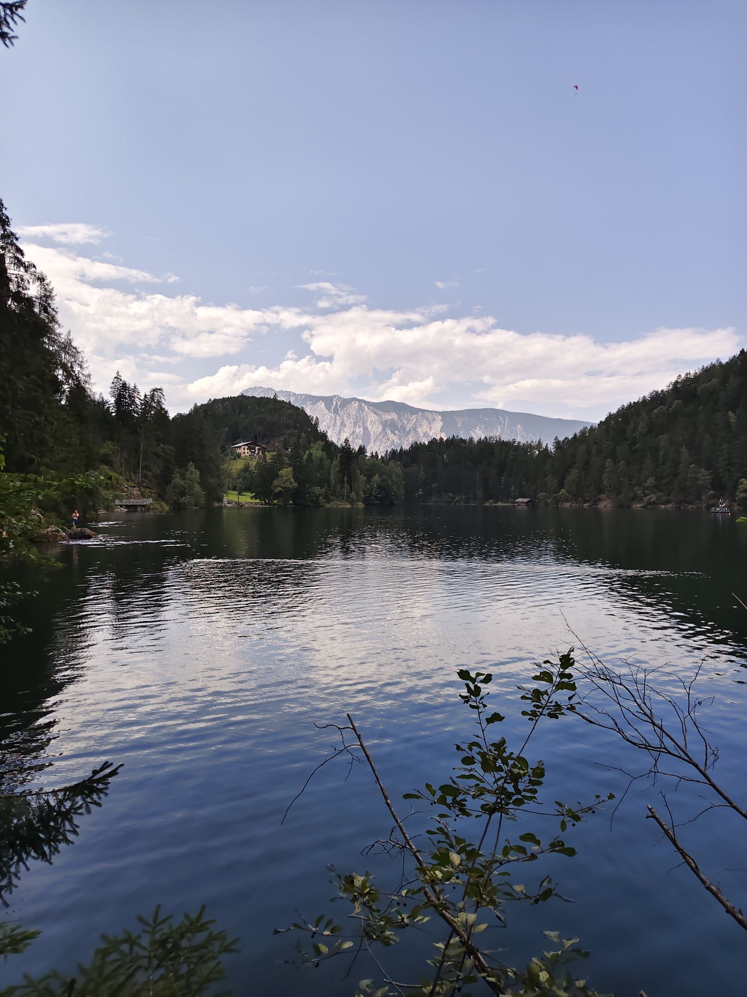
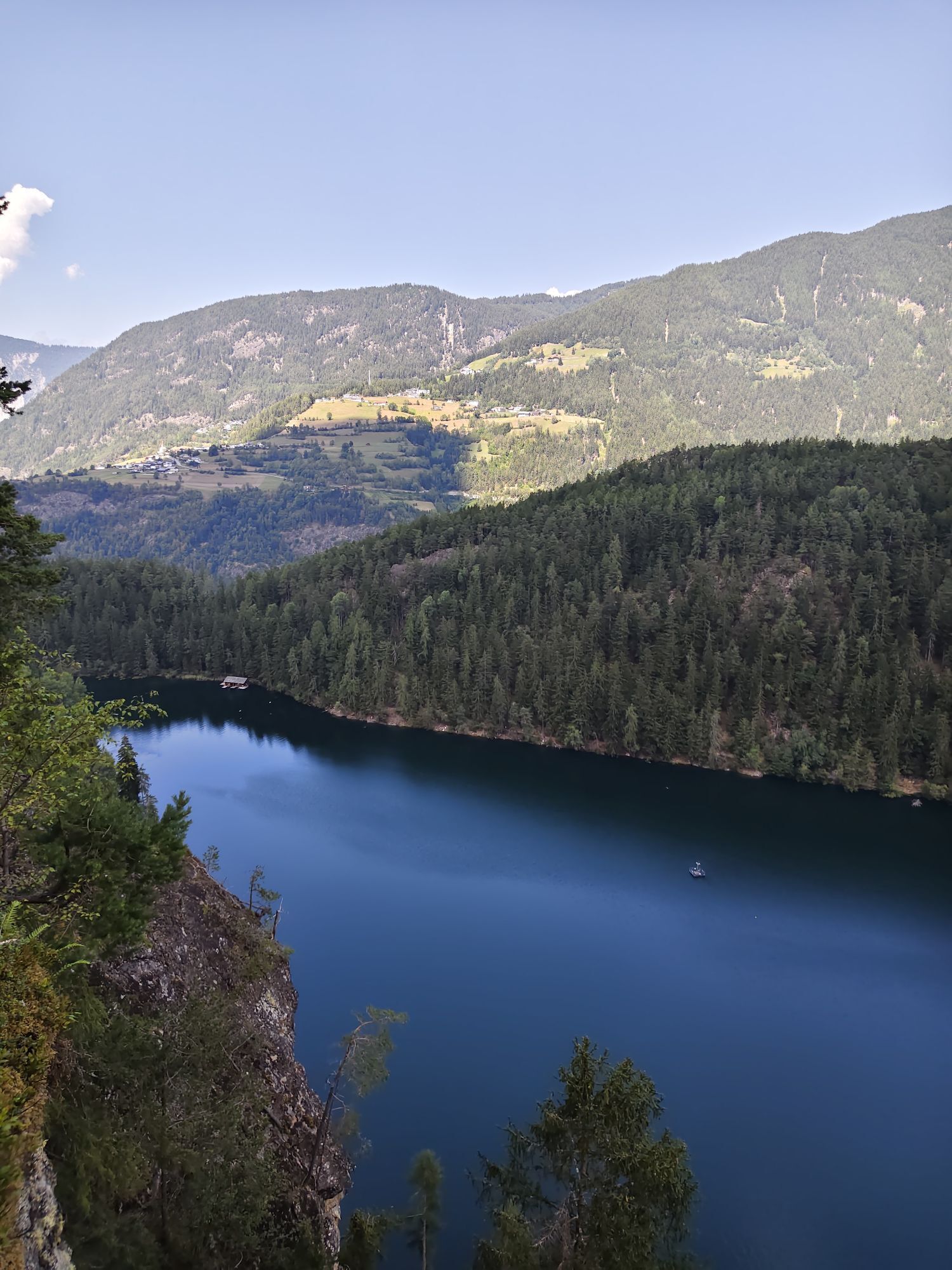
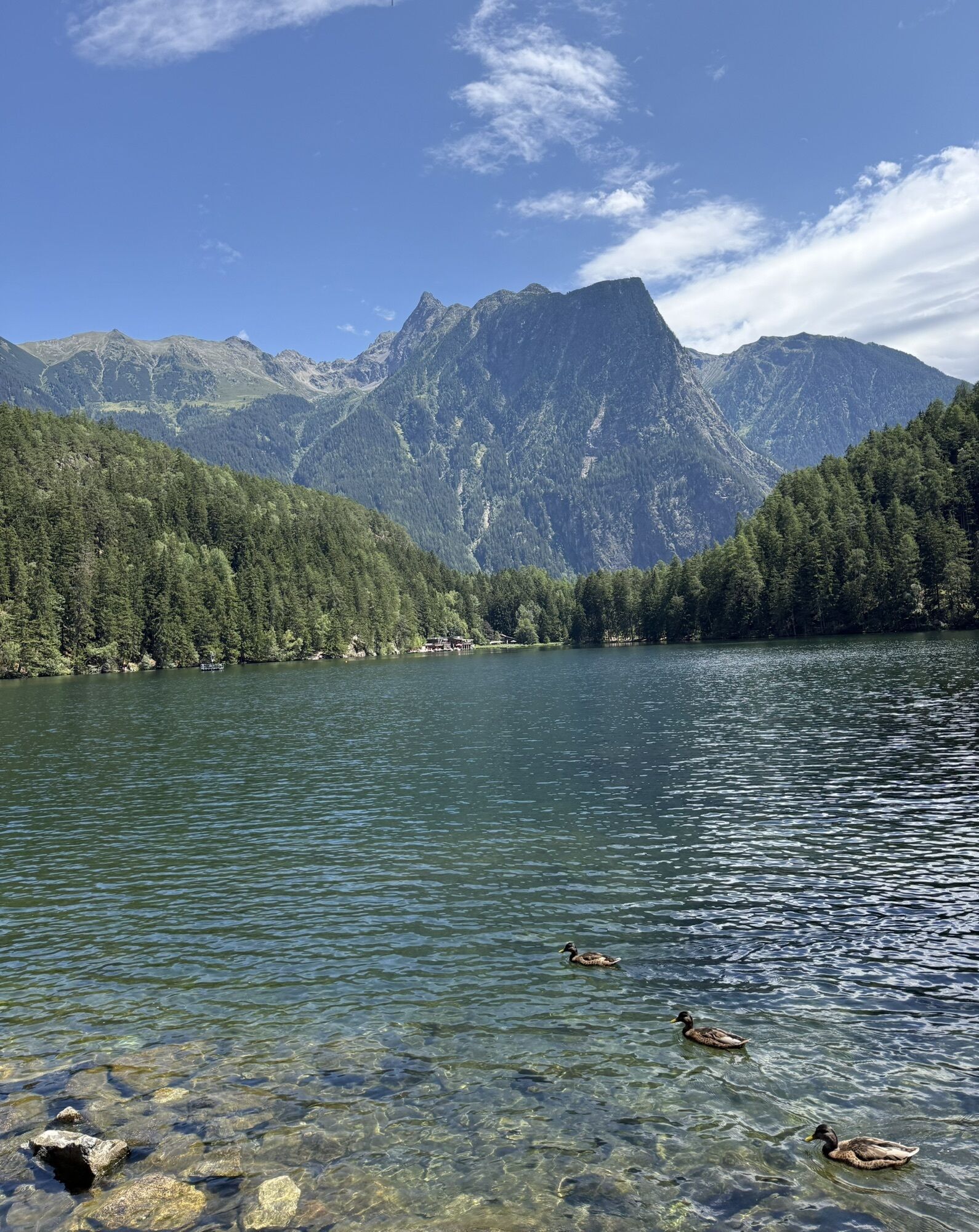
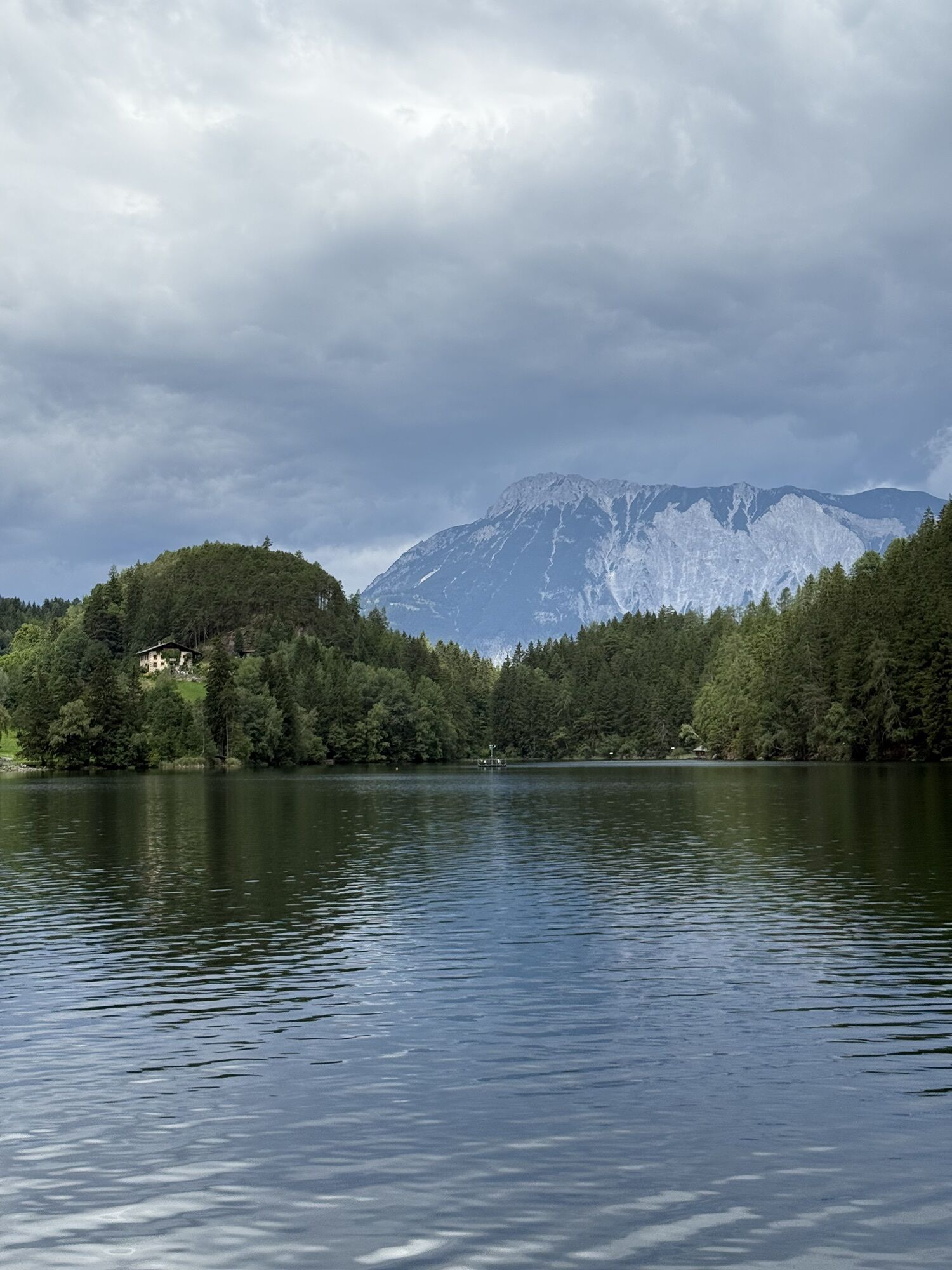
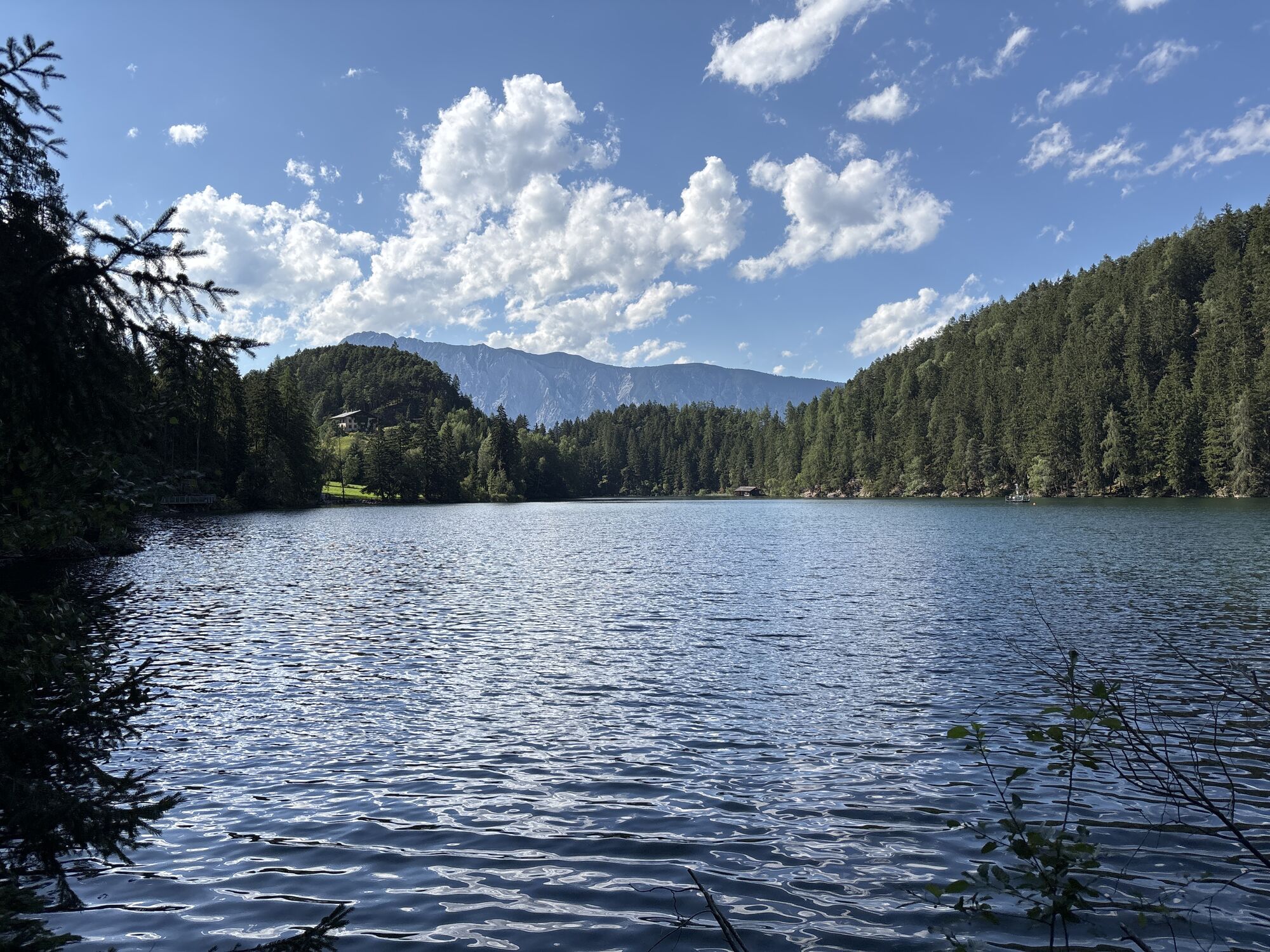
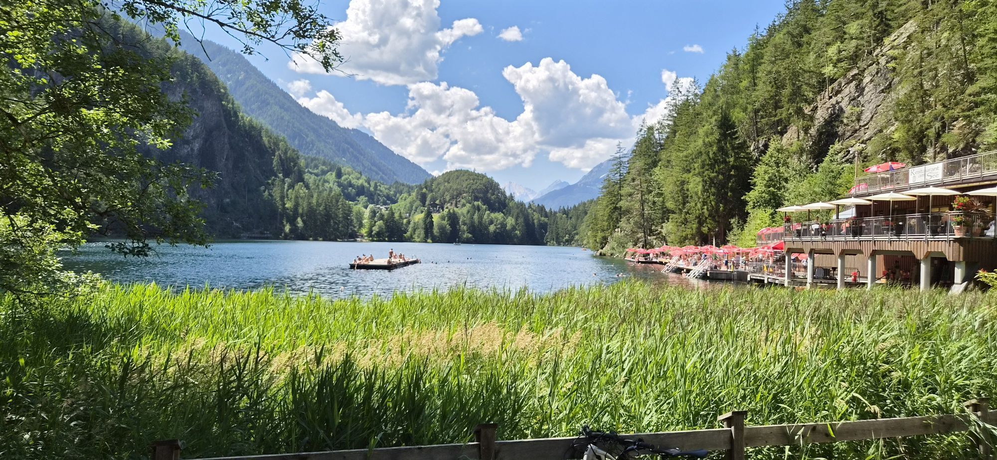
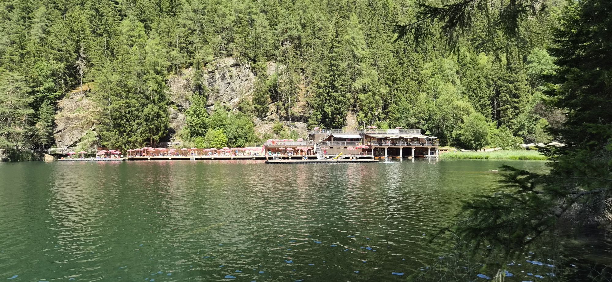
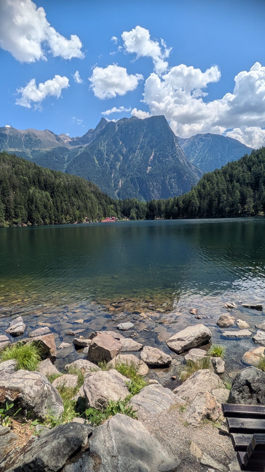
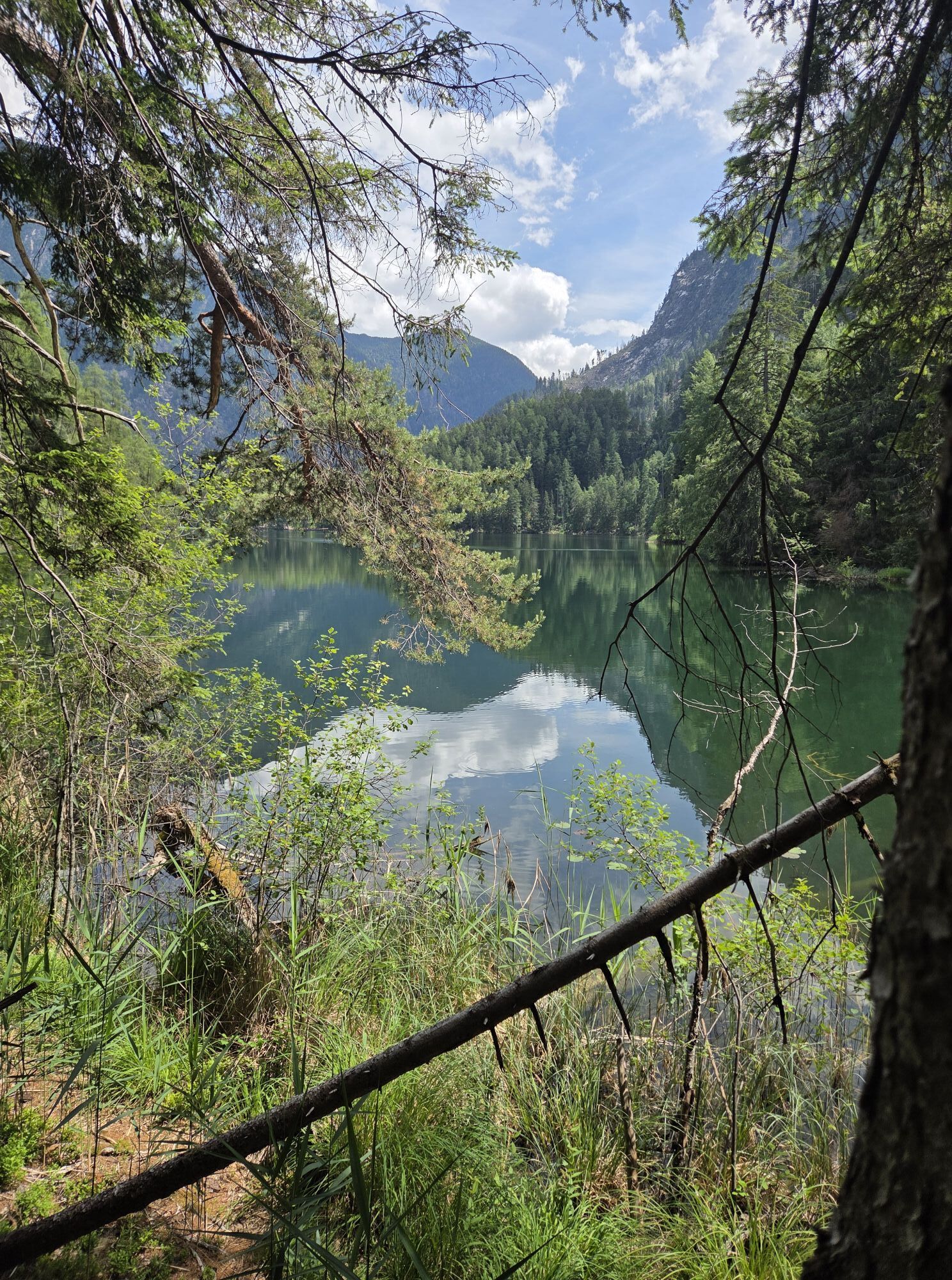
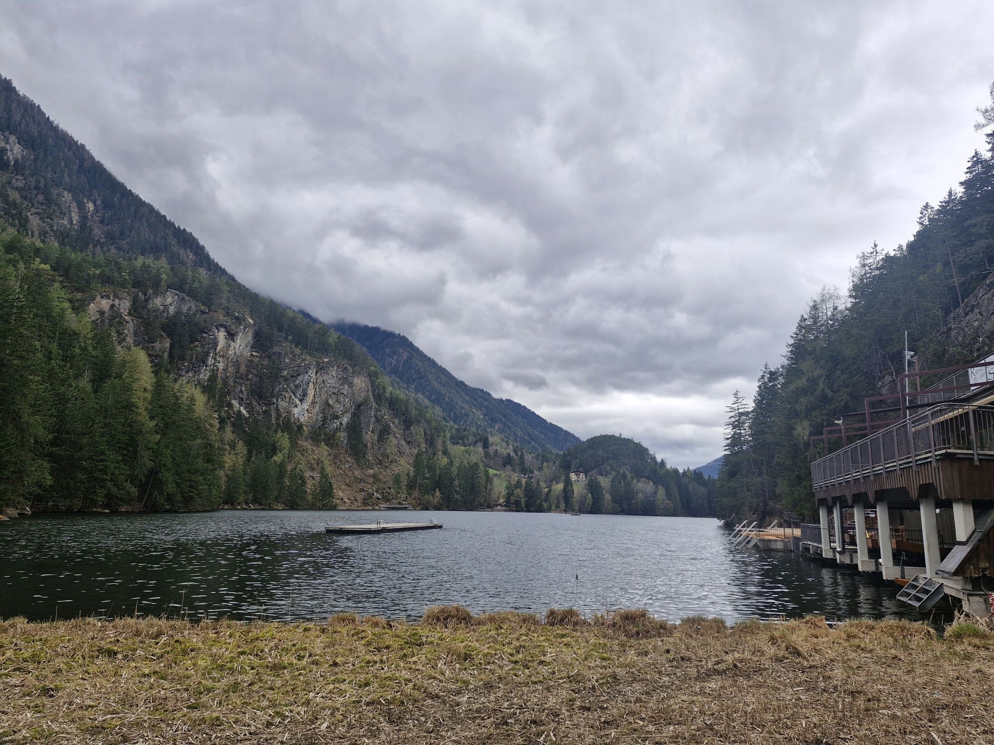
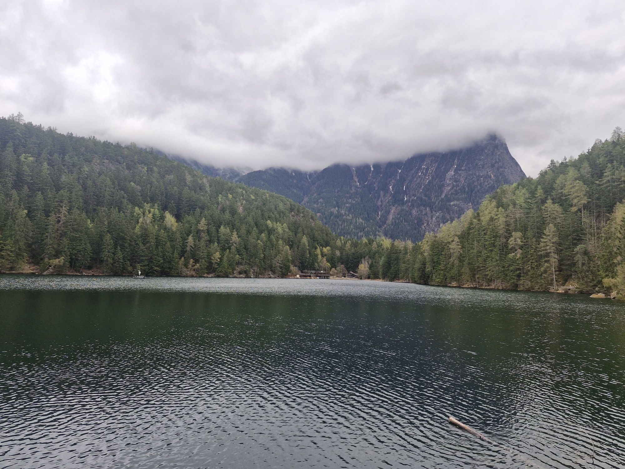
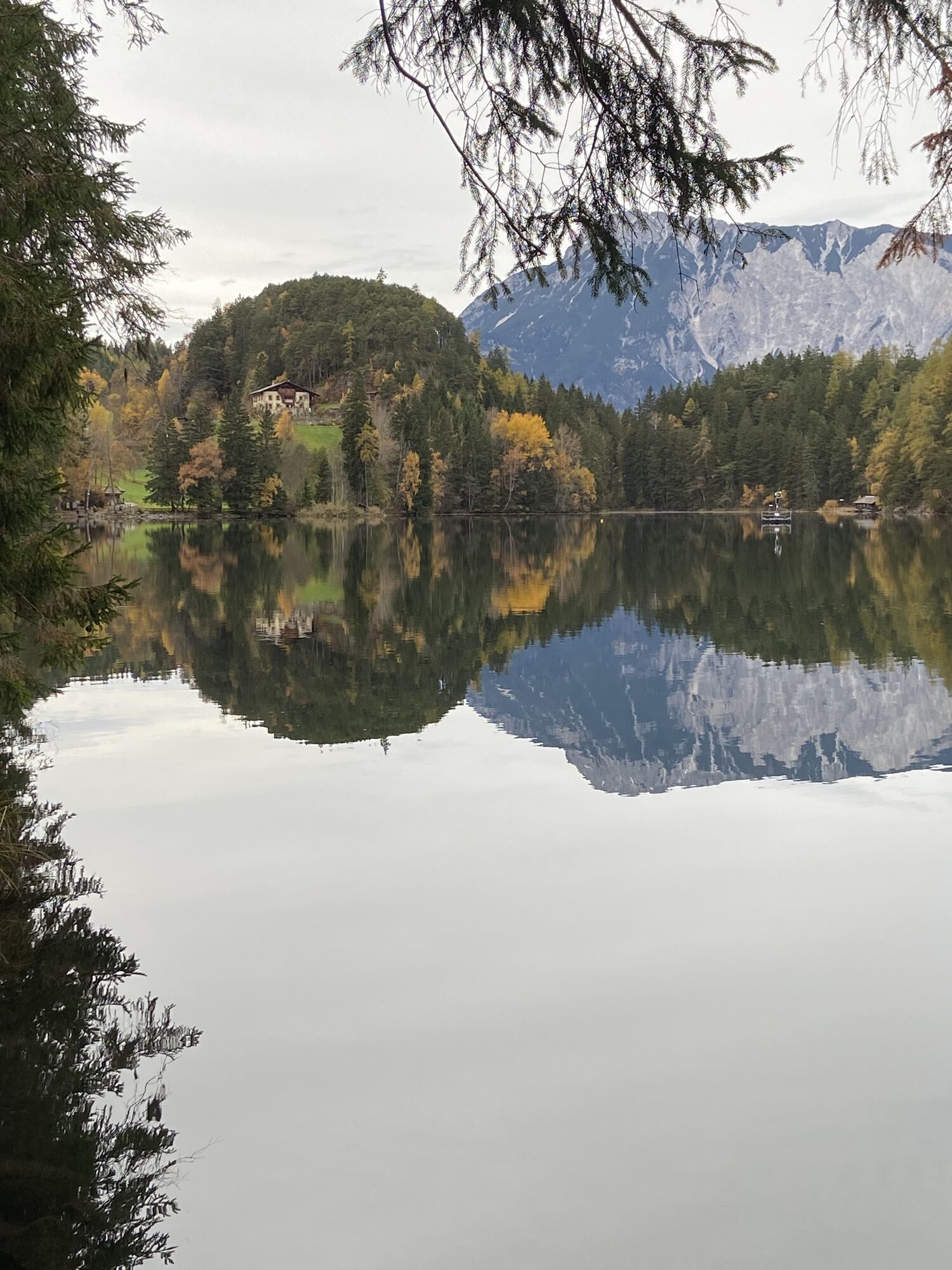
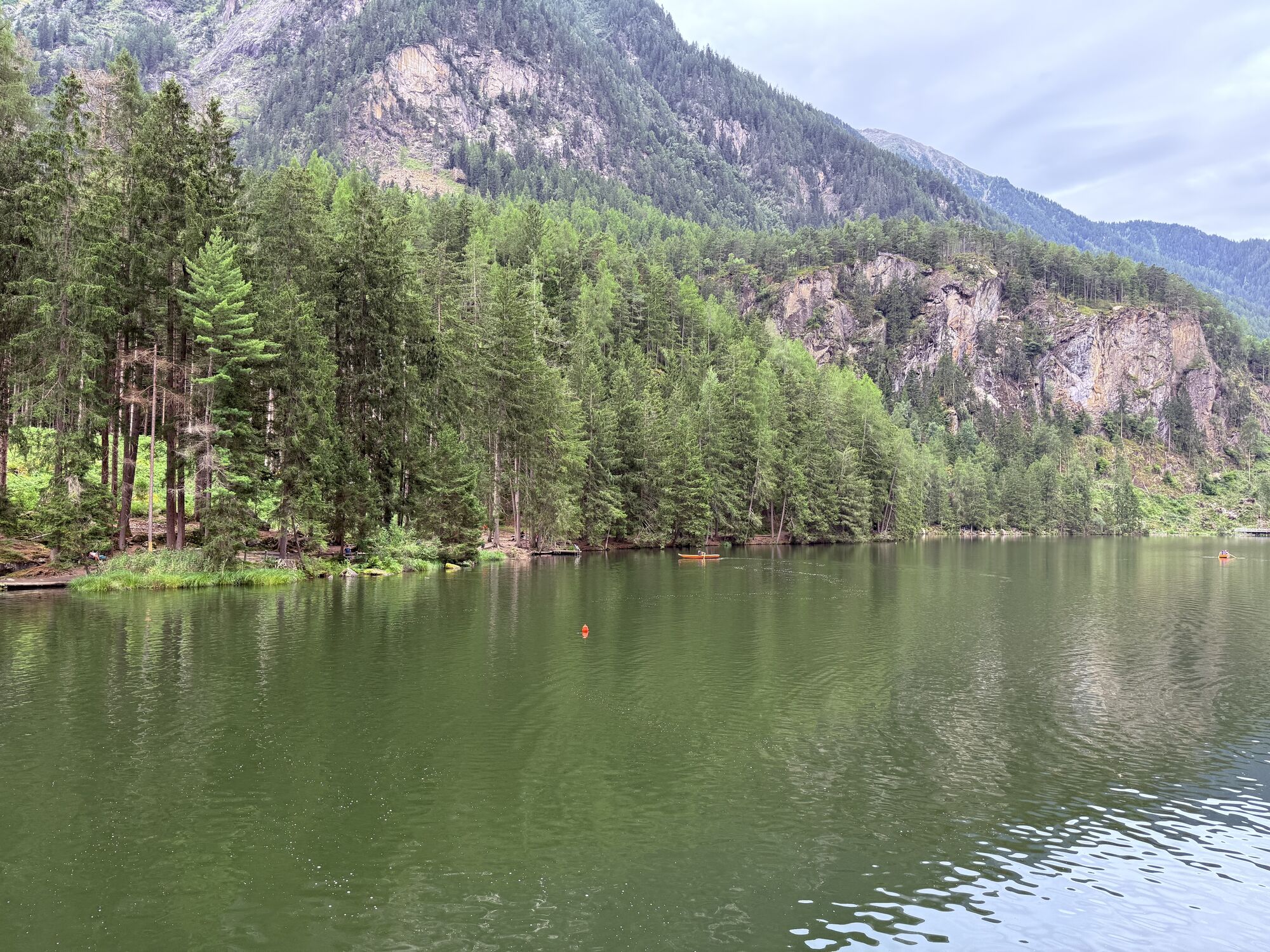
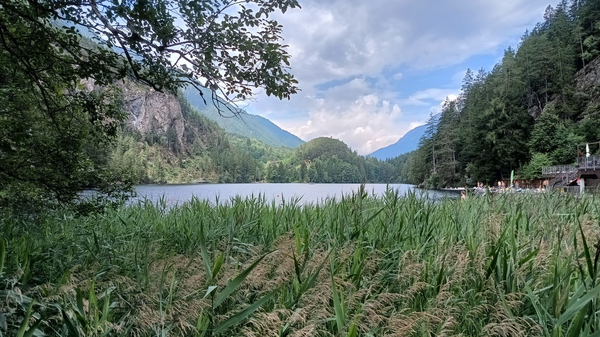
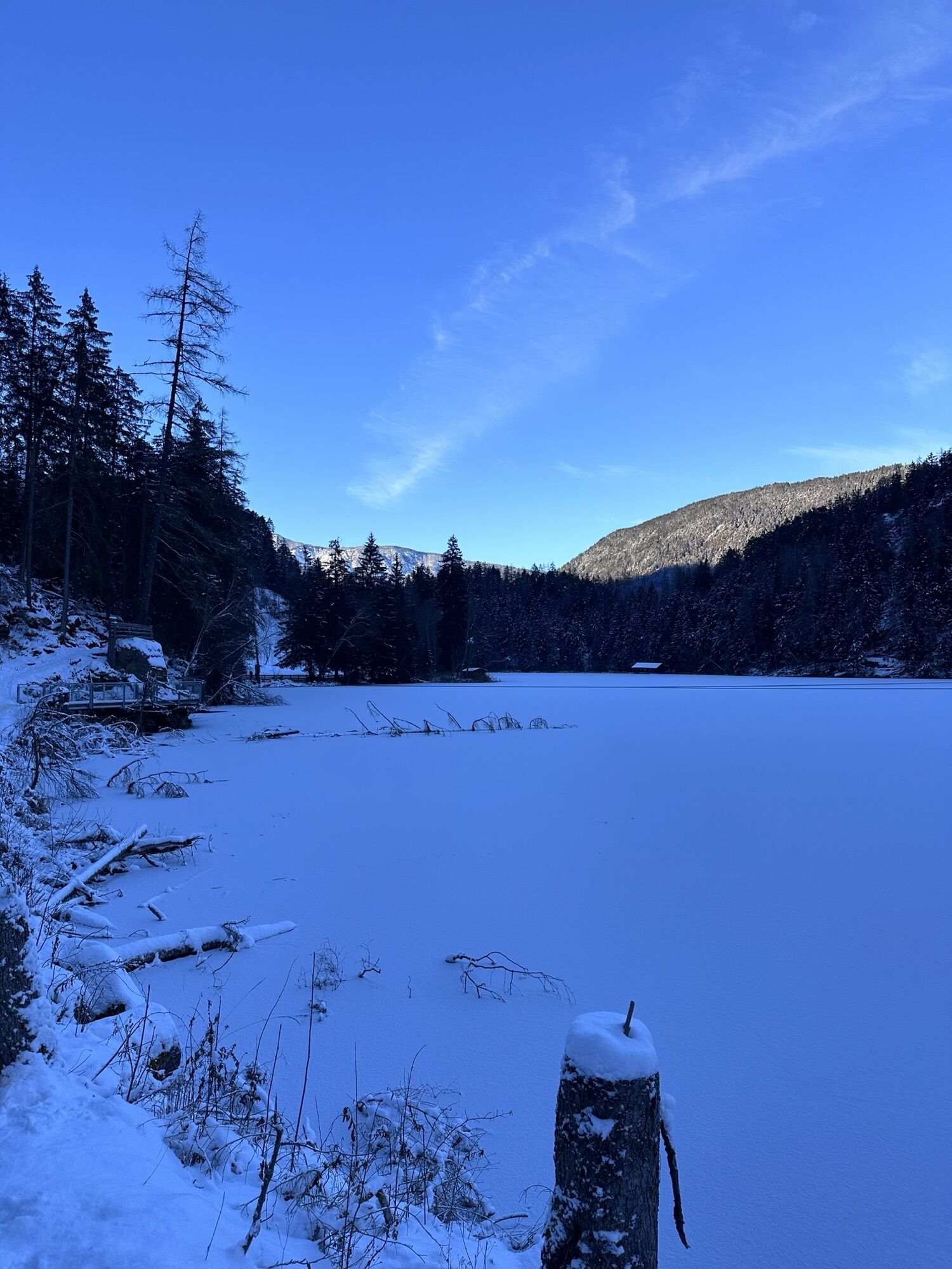
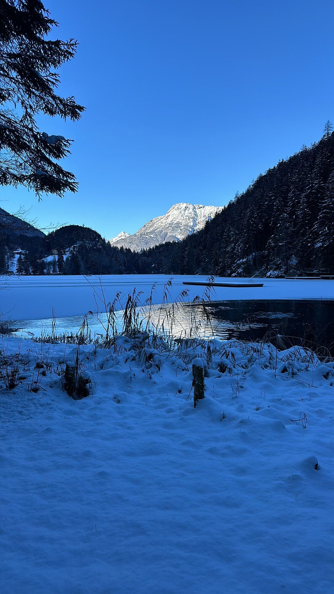
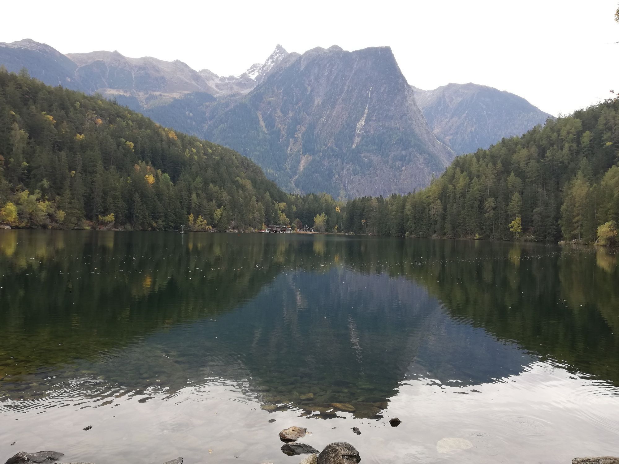
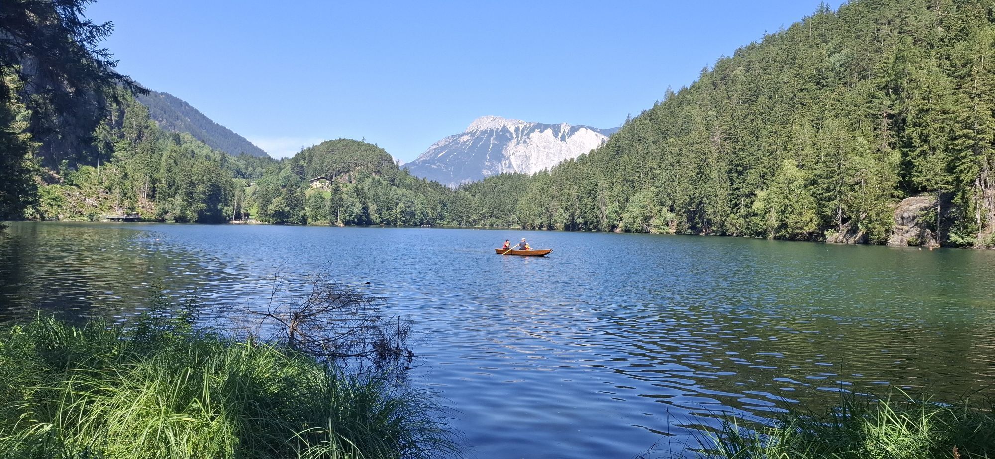
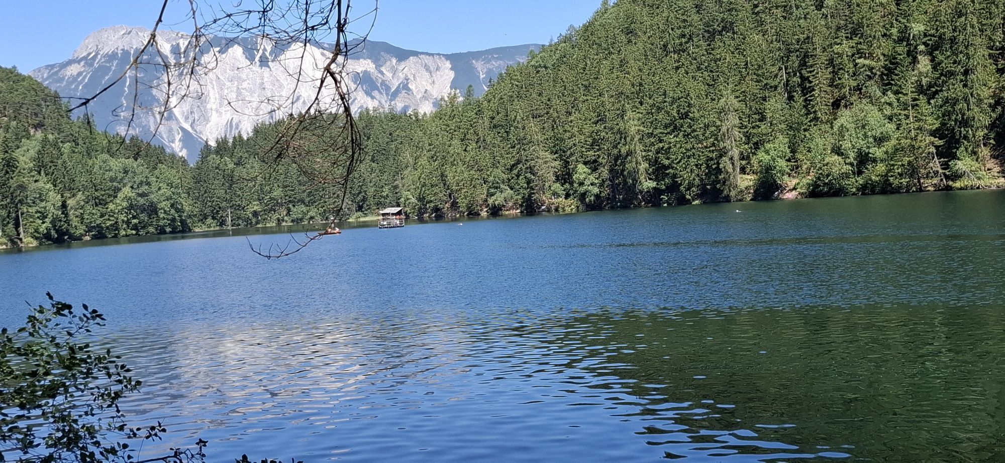
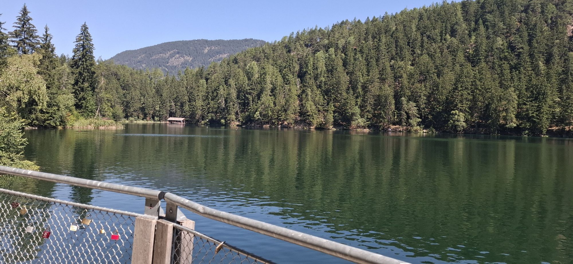
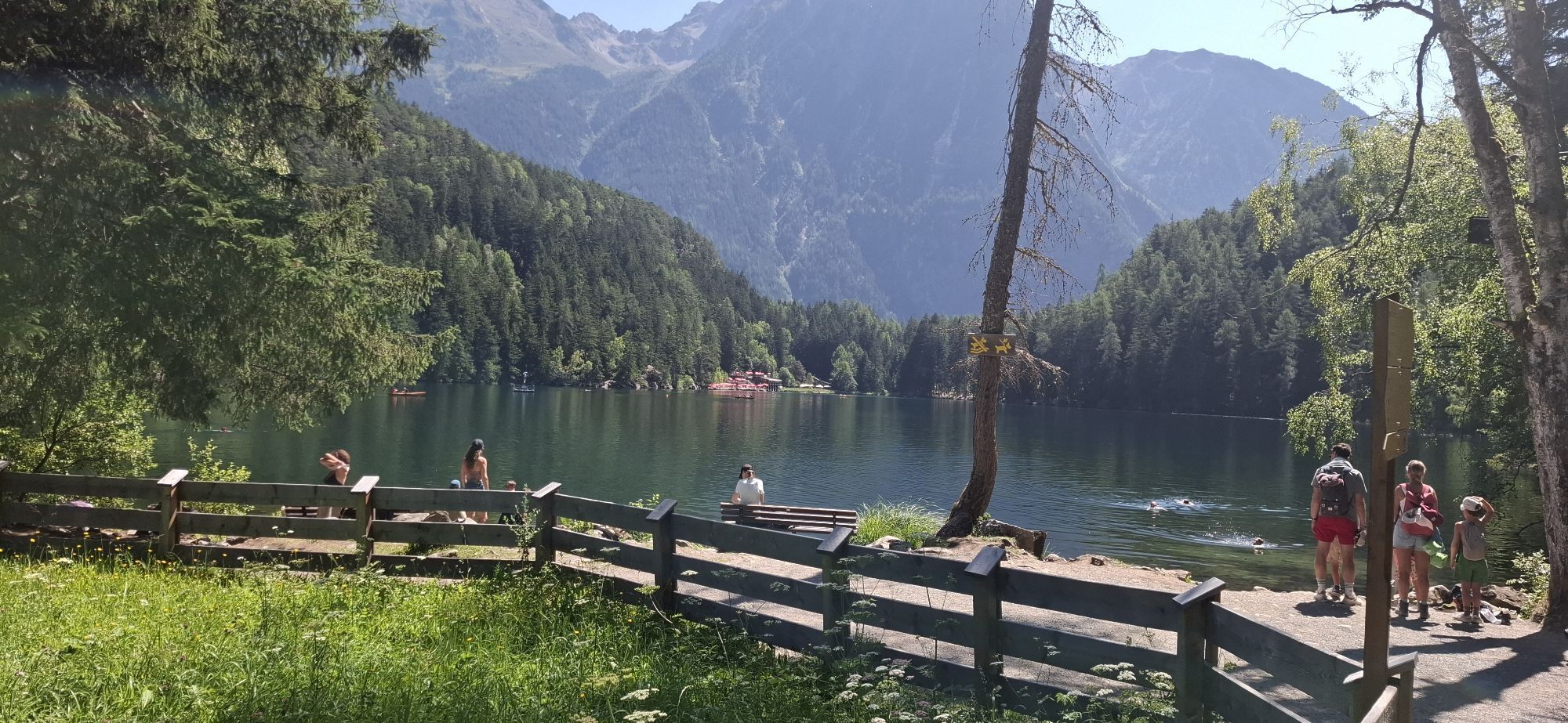
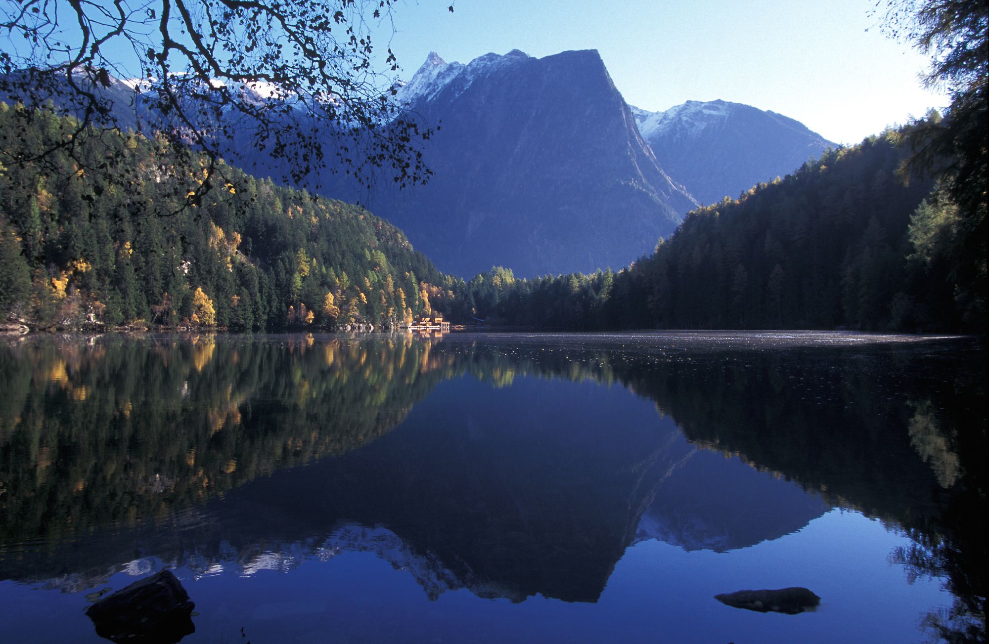
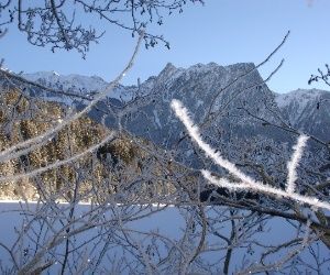
lake Piburger See with platform "Kanzel"
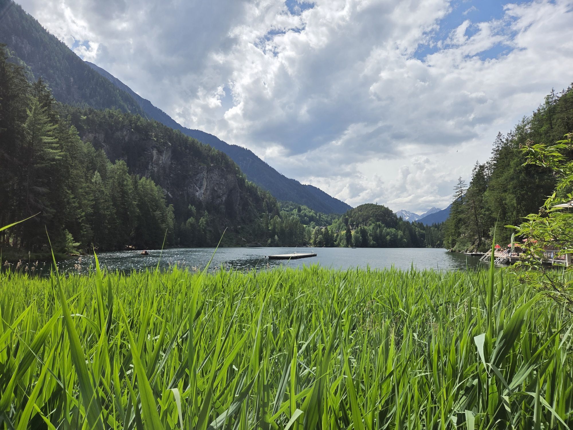
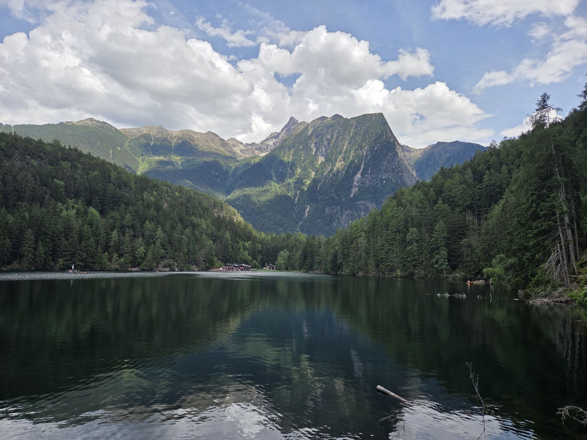
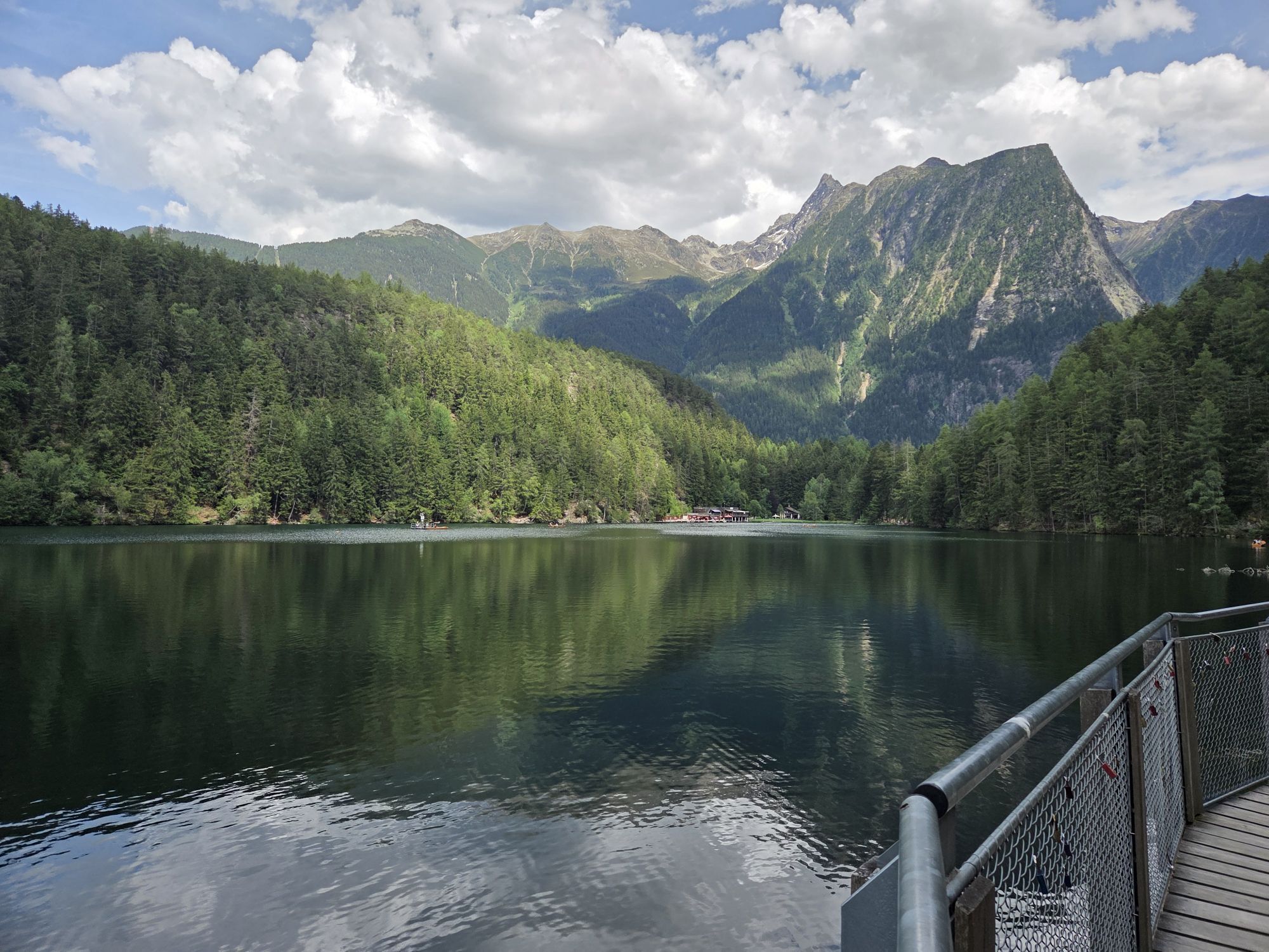
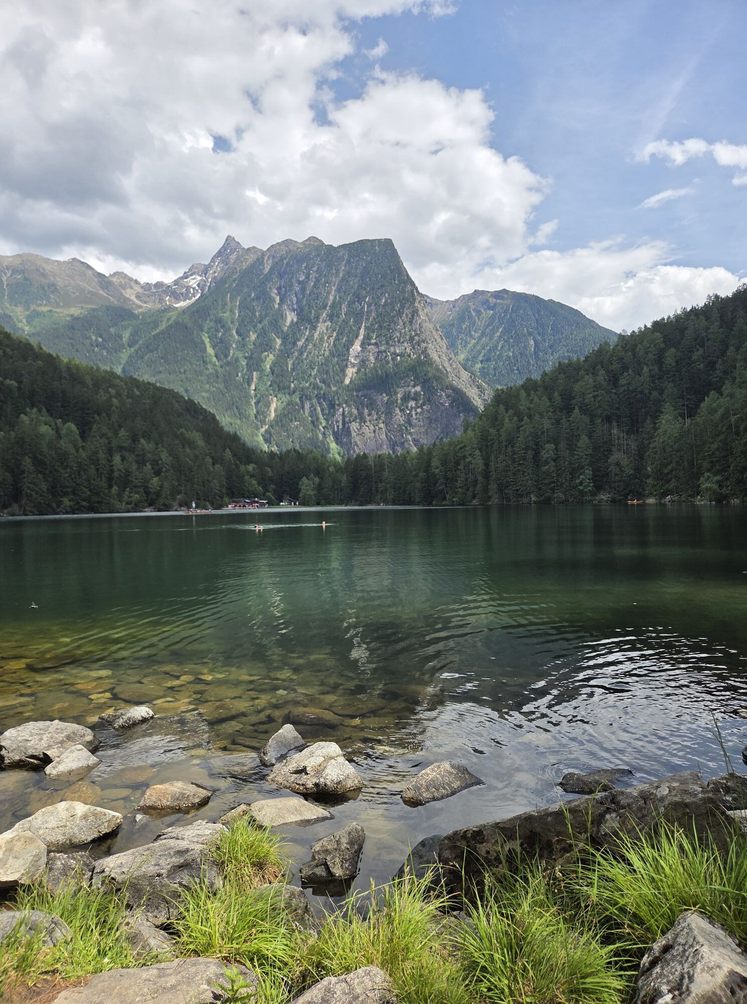
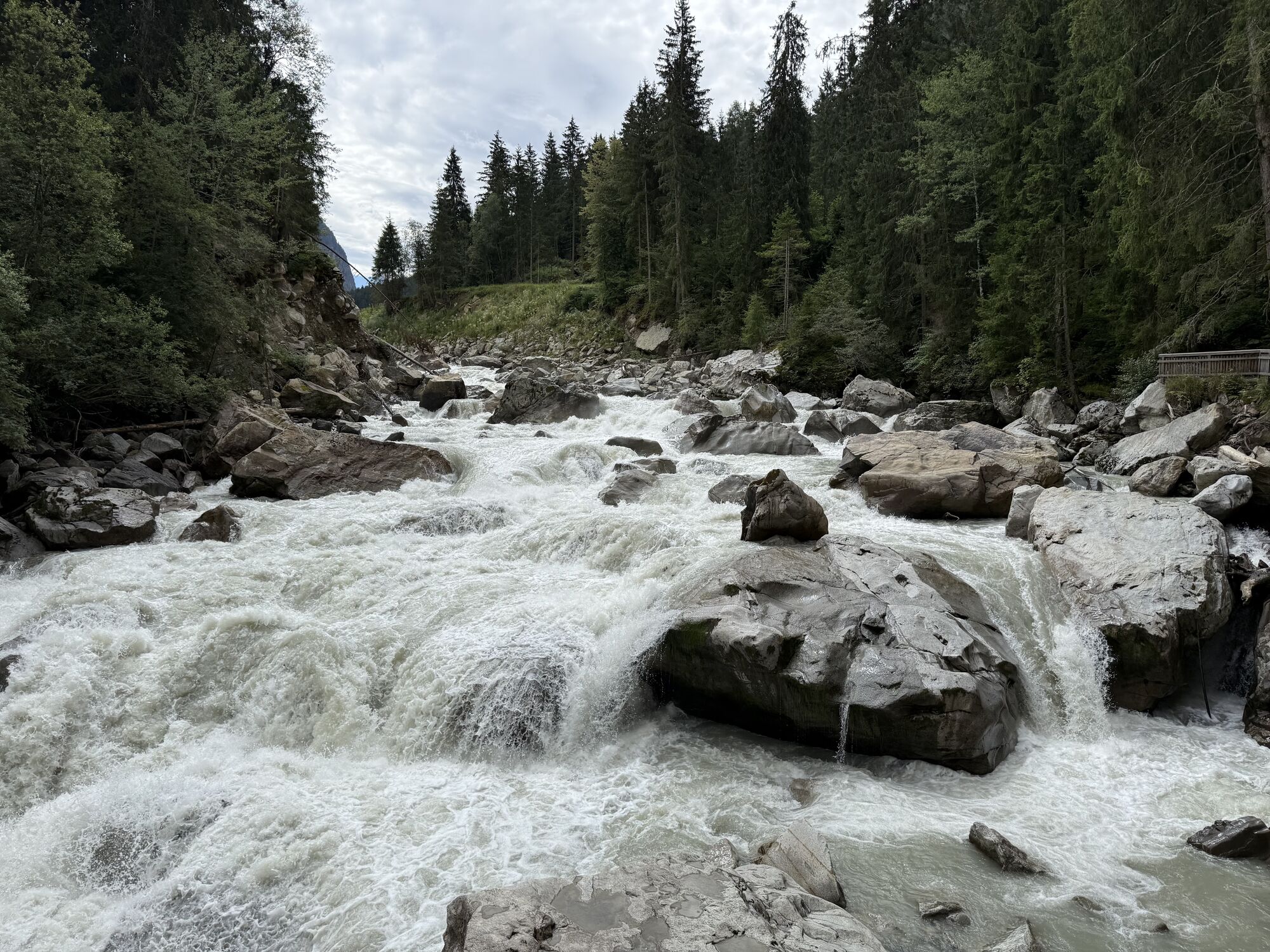
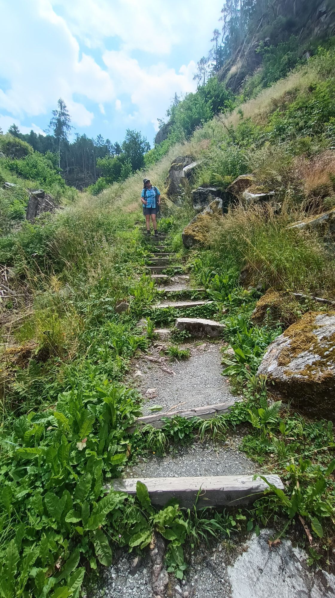
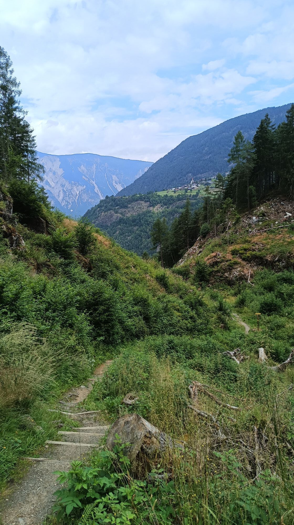
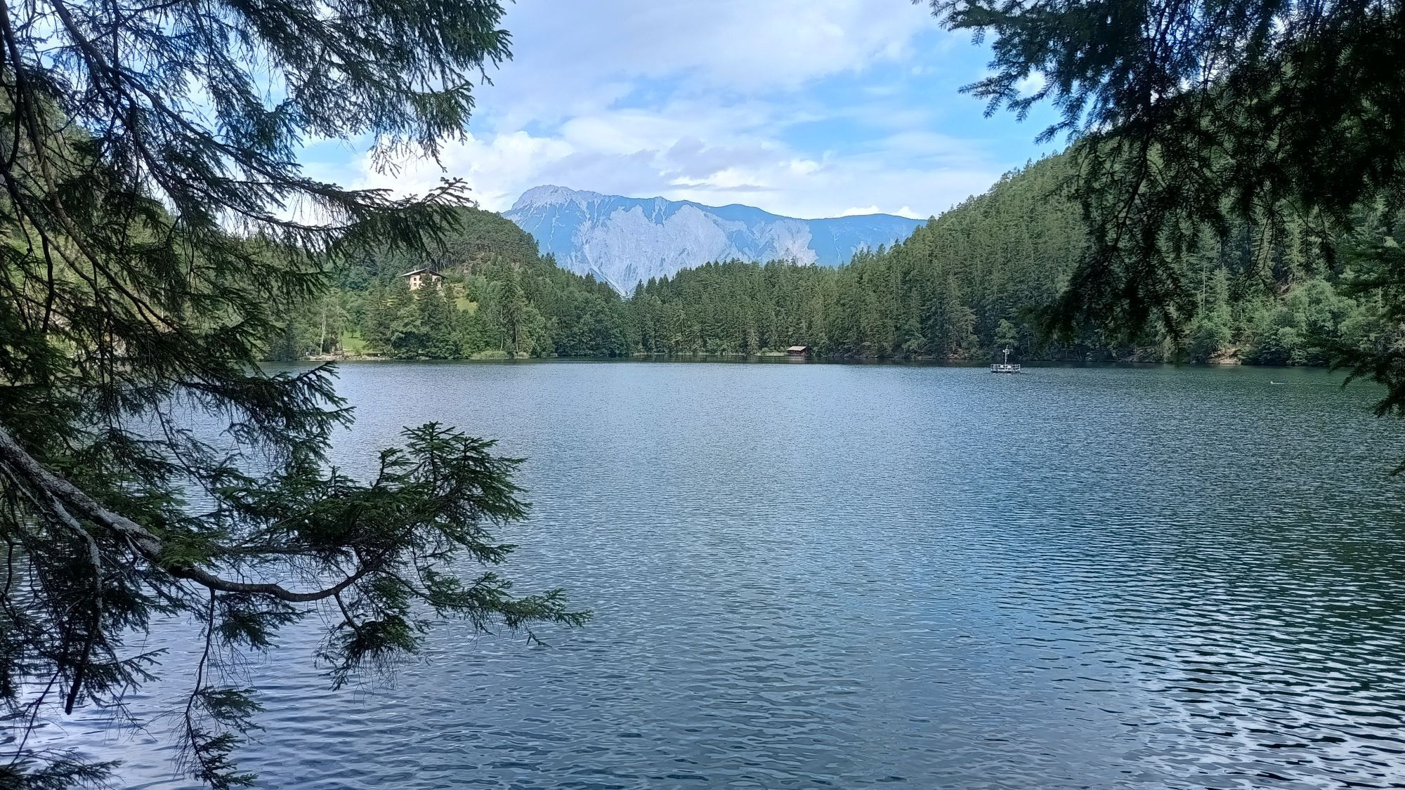
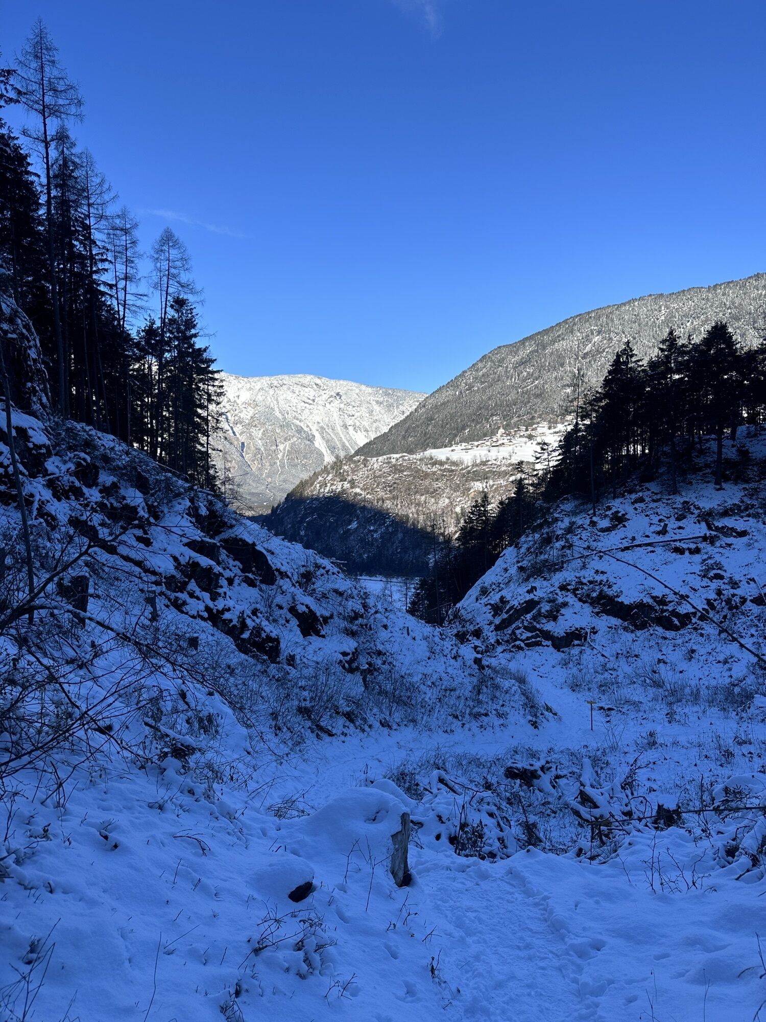
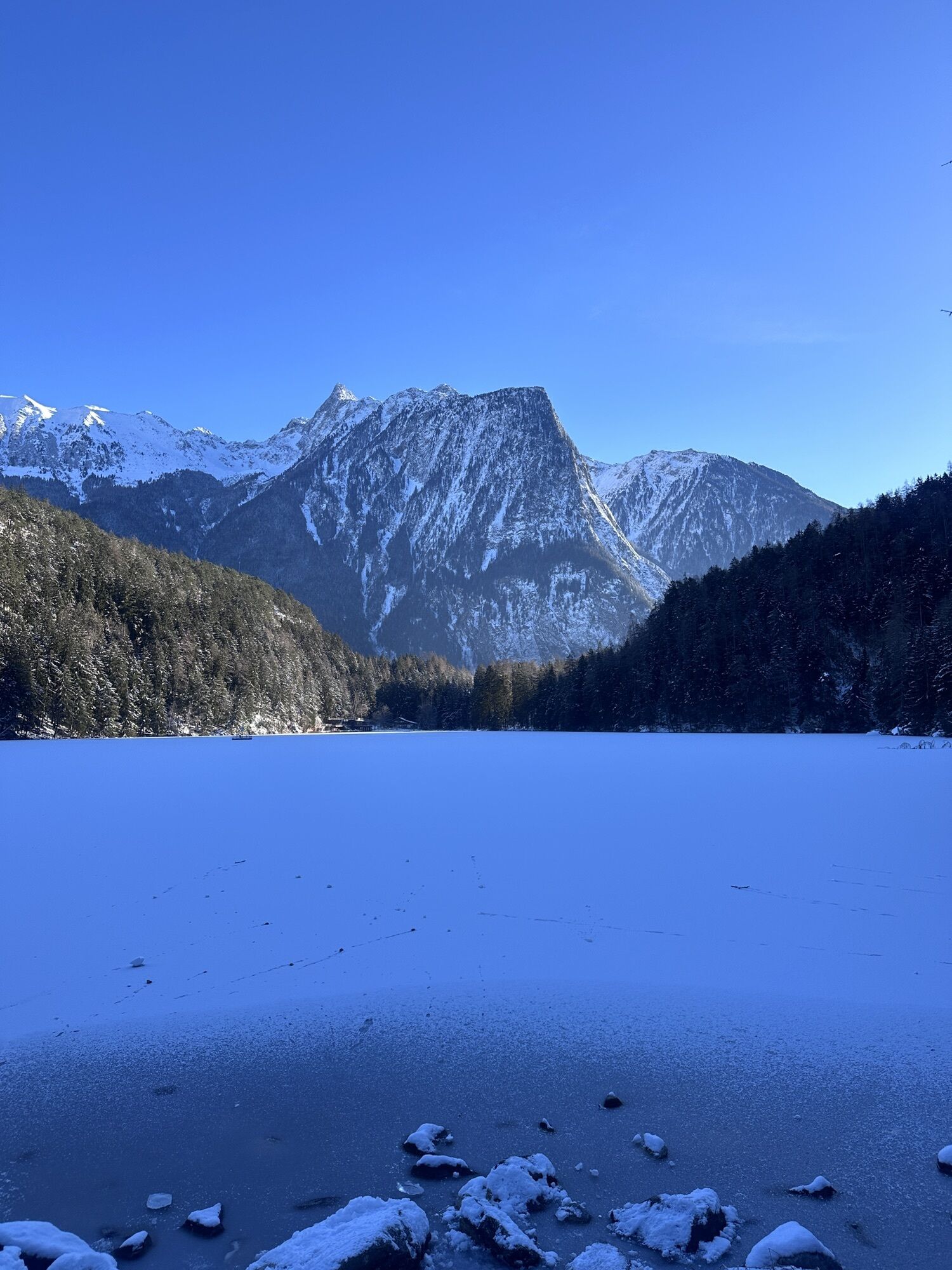
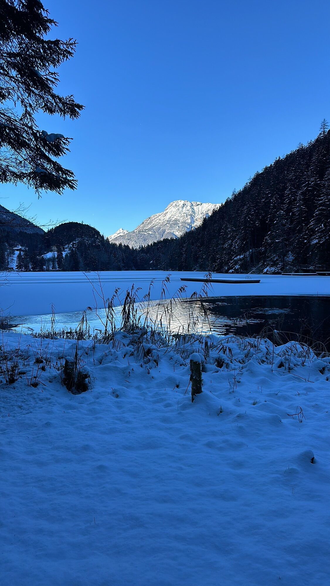
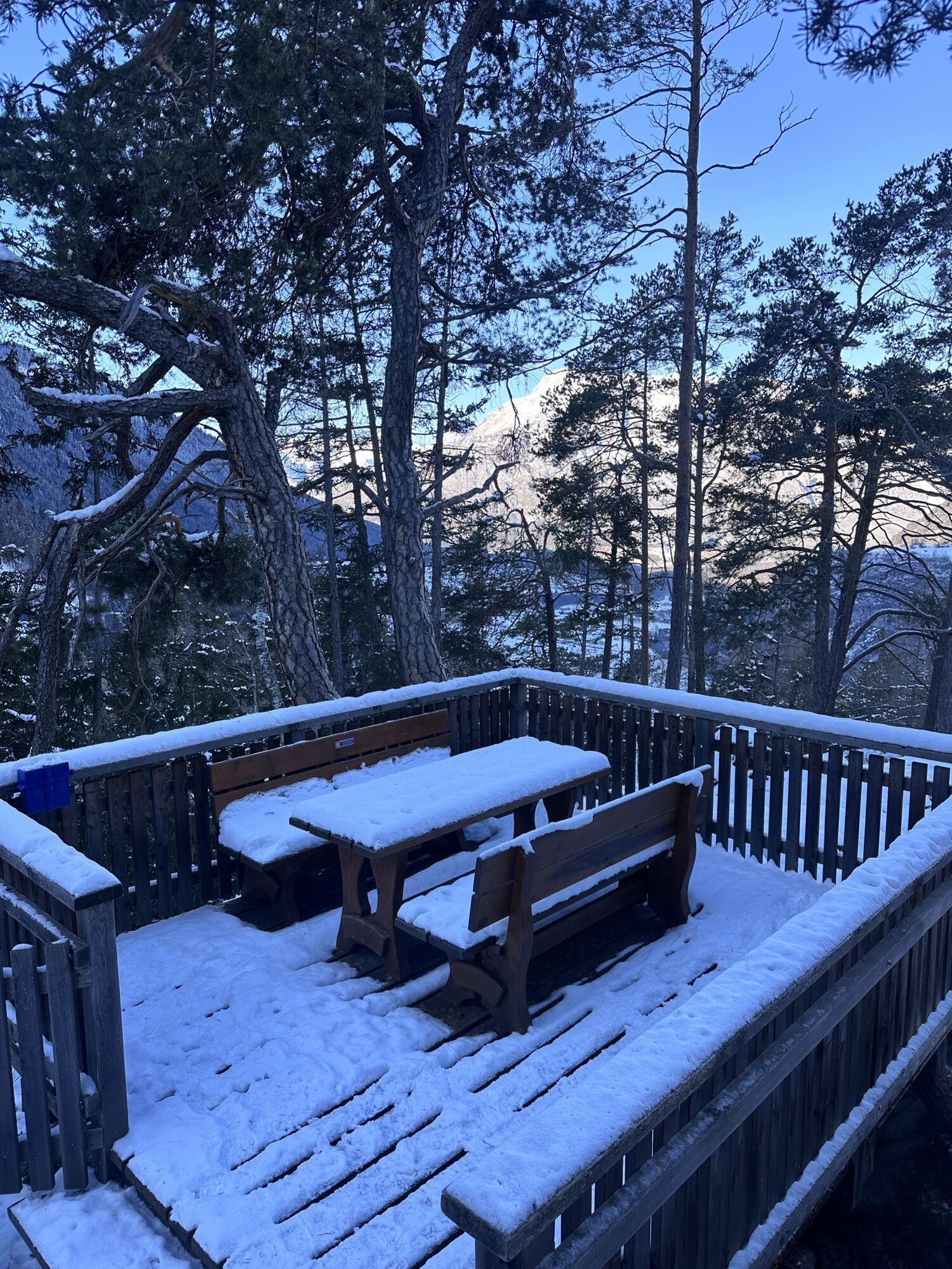
The nice hiking tour starts in Oetz. You can park at the cable car station (free parking) or at the parking place in the Center (fee). You follow the river into the valley to the "Wellerbridge". You cross...
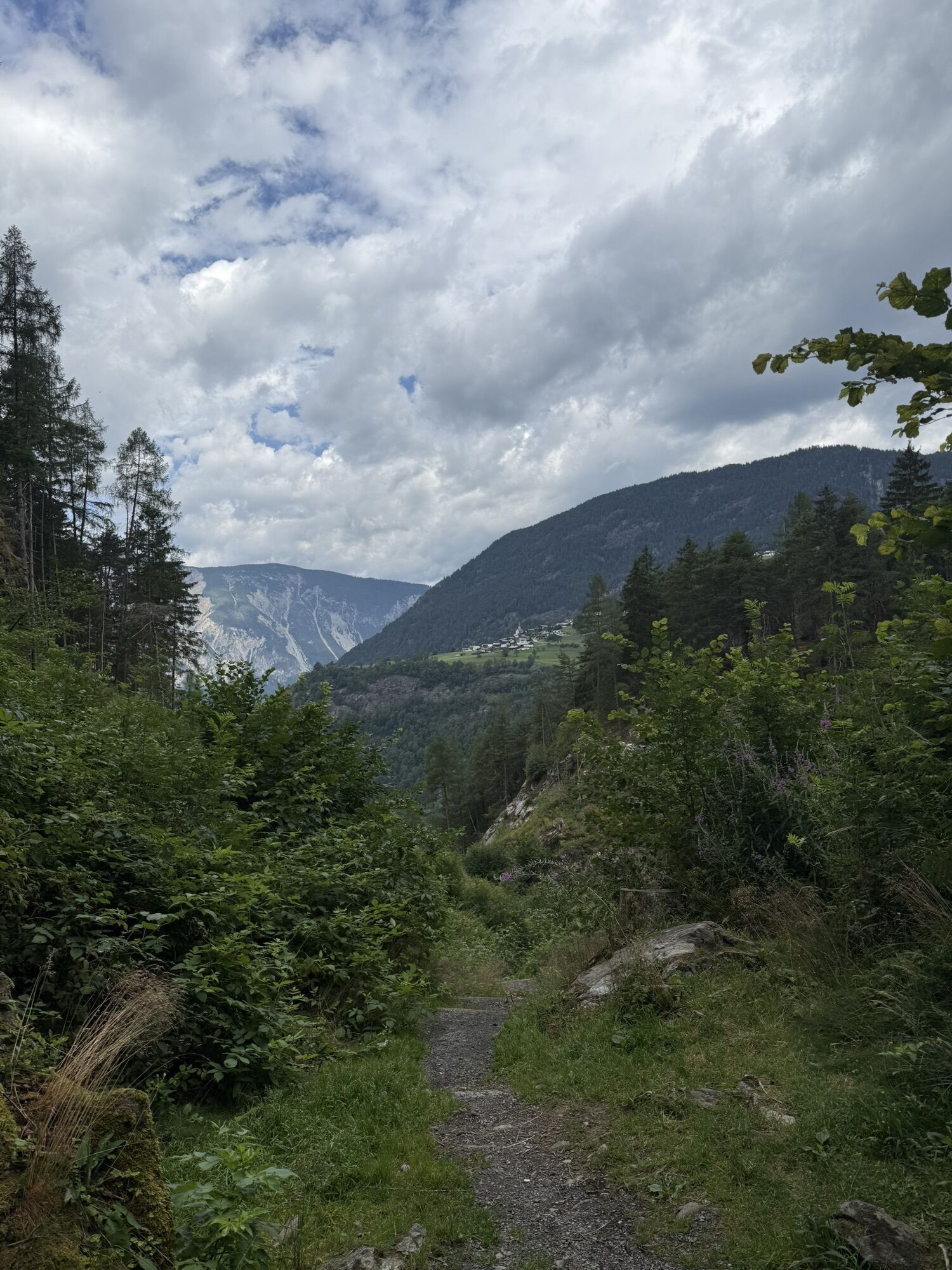
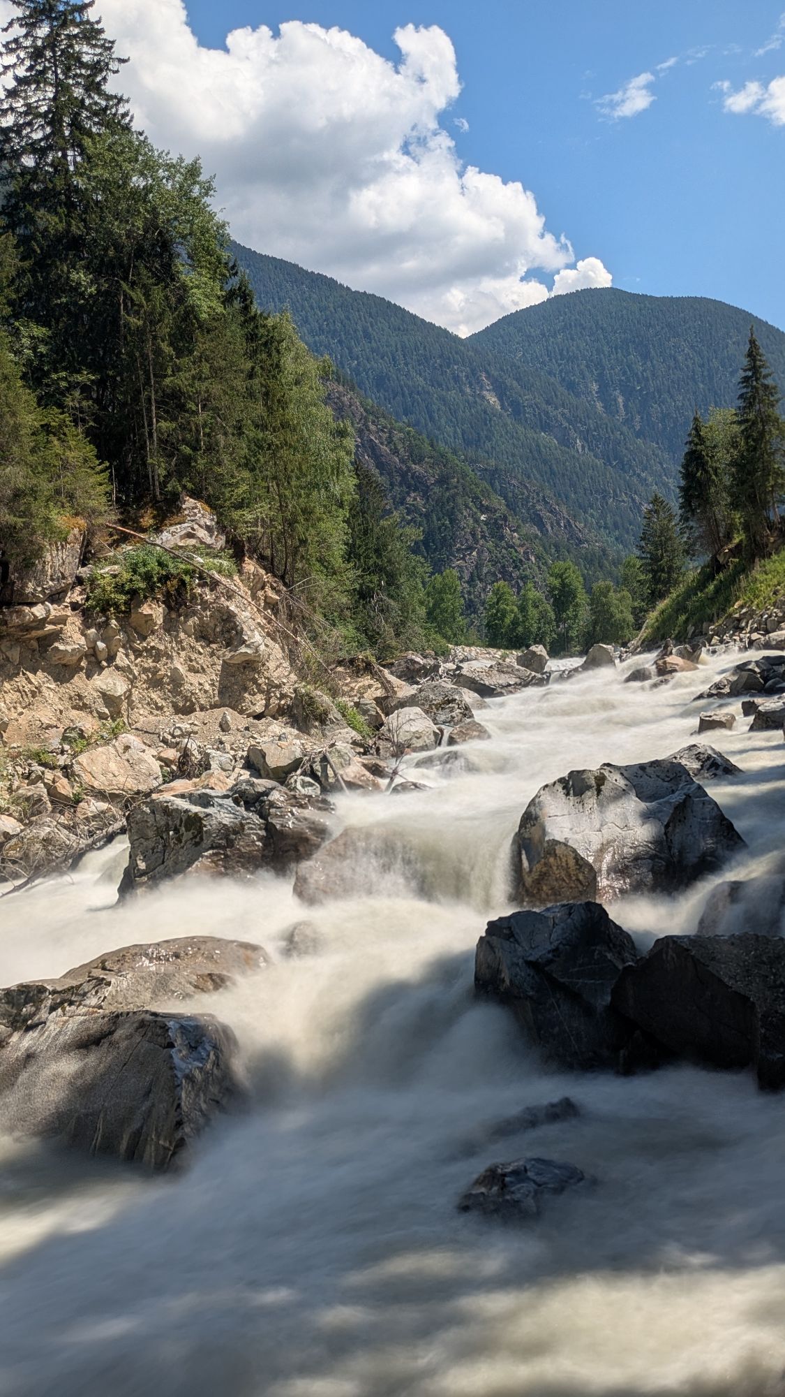
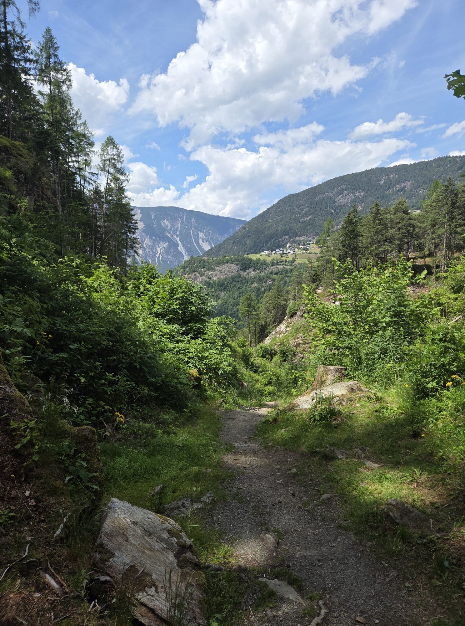
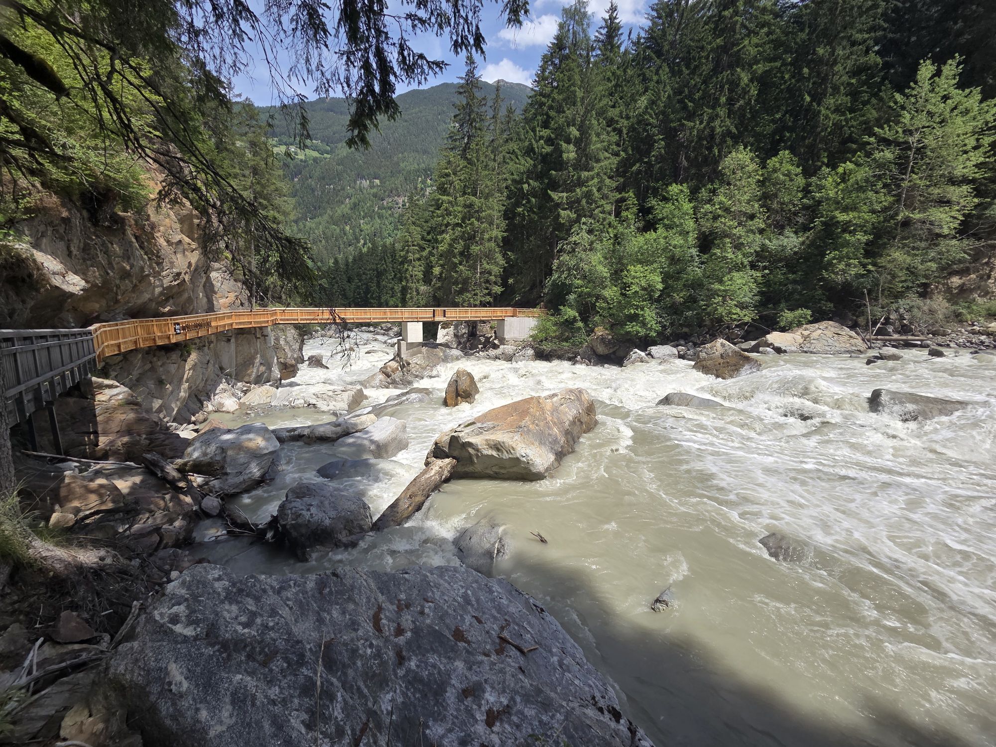
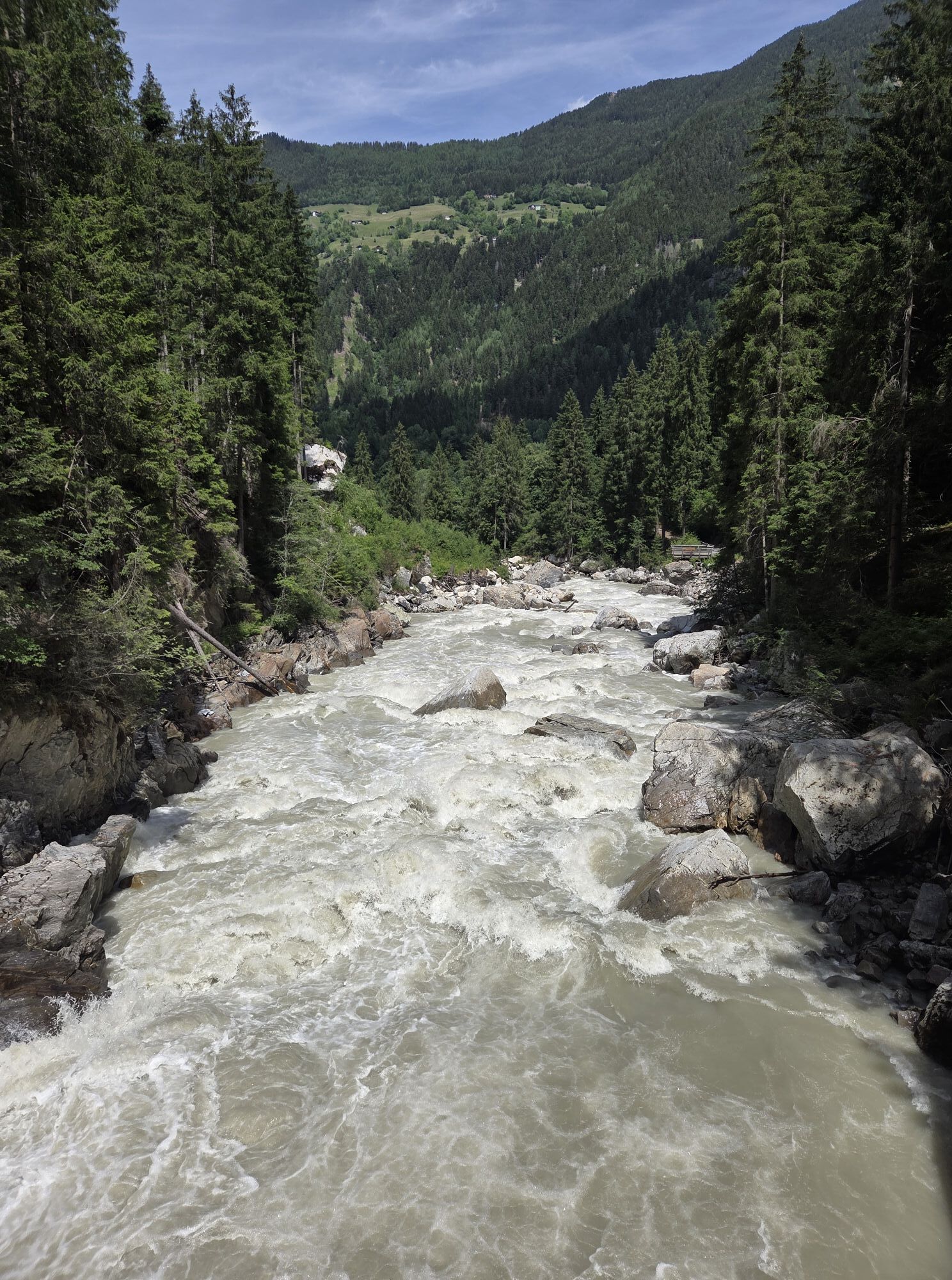
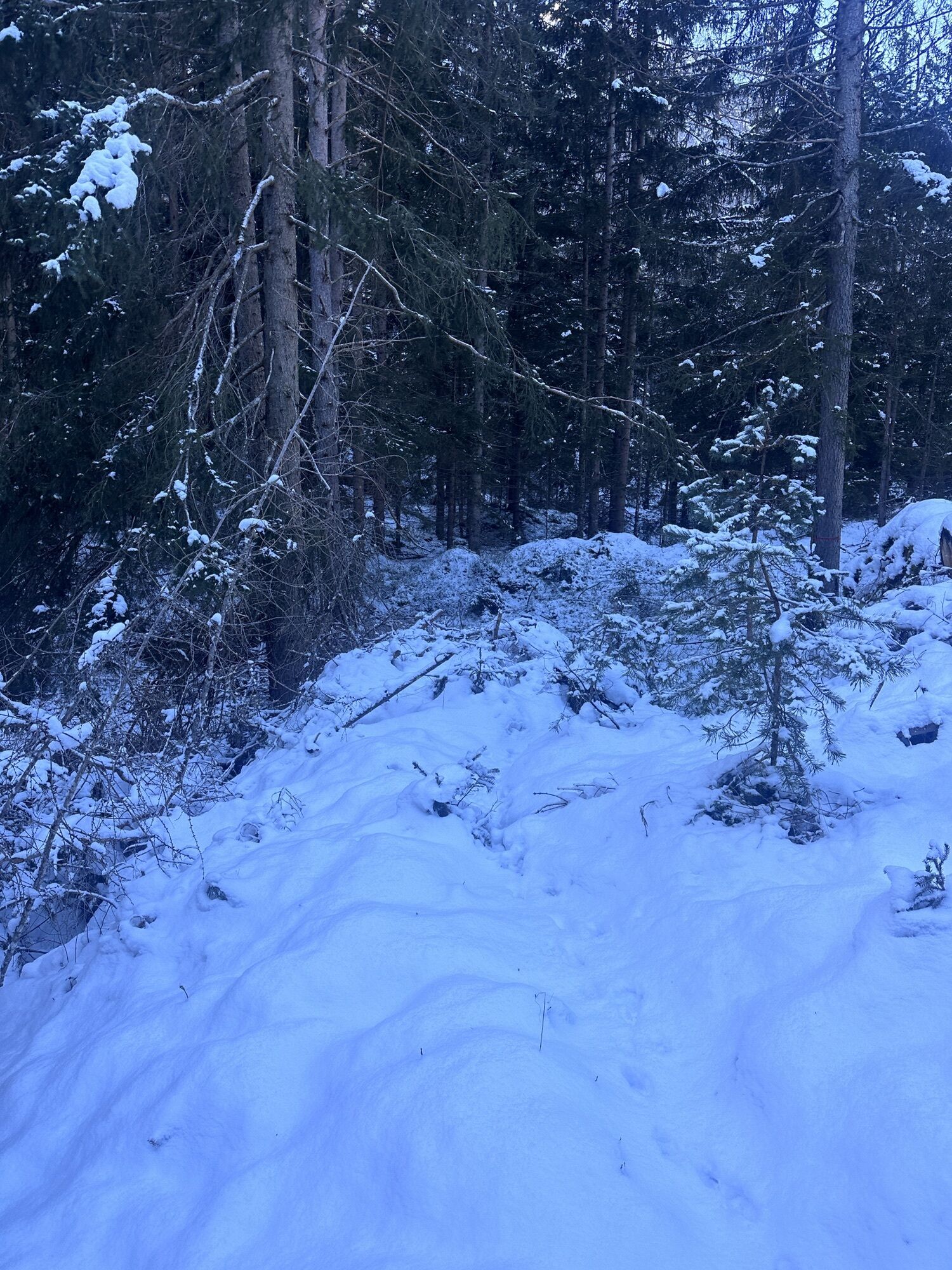
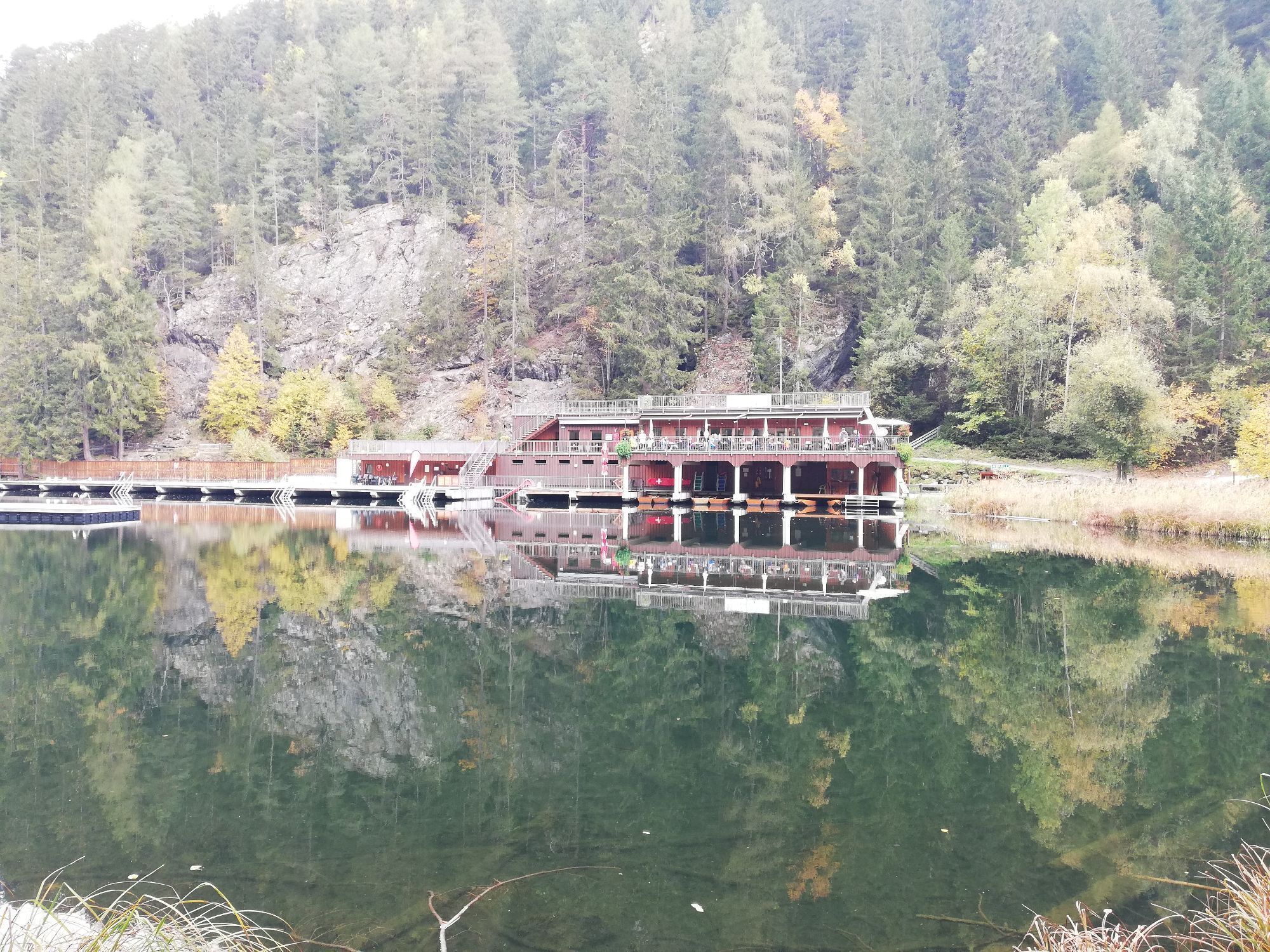
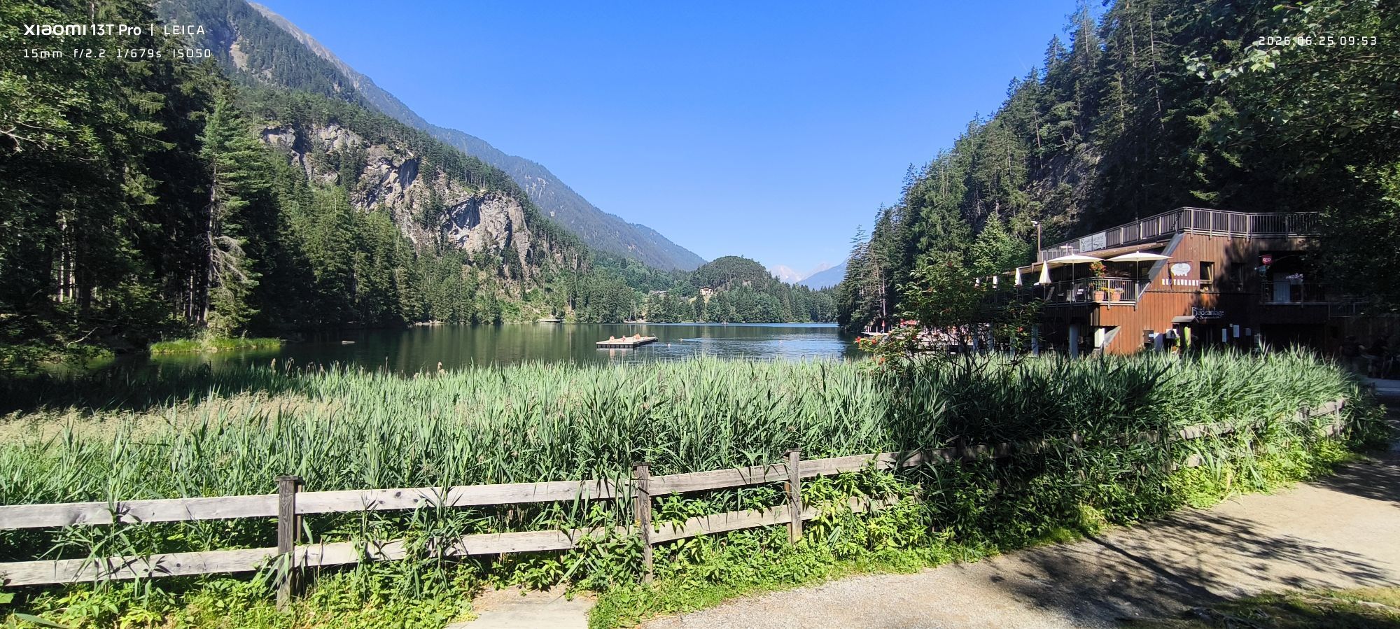
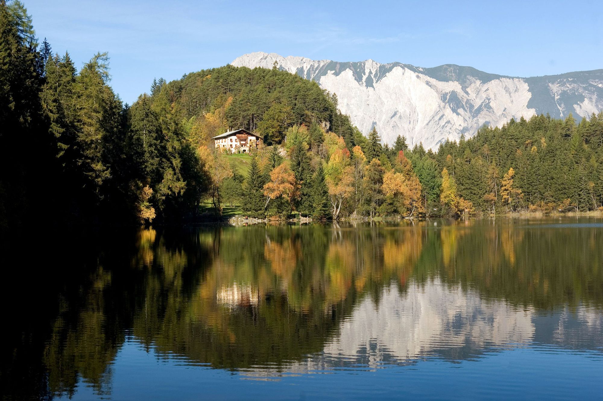
The nice hiking tour starts in Oetz. You can park at the cable car station (free parking) or at the parking place in the Center (fee). You follow the river into the valley to the "Wellerbridge". You cross the river and walk through the forest up to the lake Piburger See. You walk around thel ake an follow the small track to the "Kanzel" and on the "Elsinger Weg" back to Oetz.
our Tip:
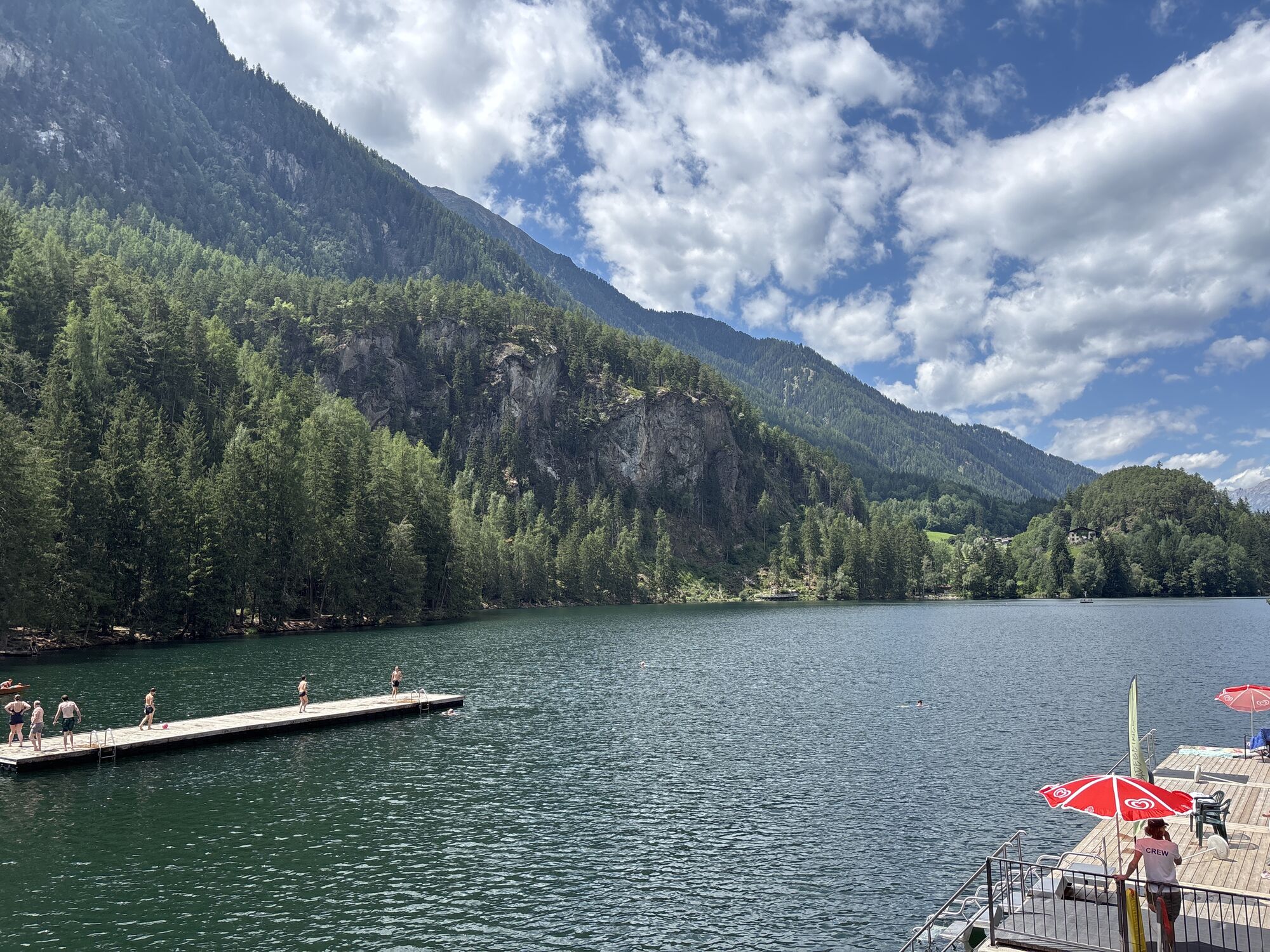
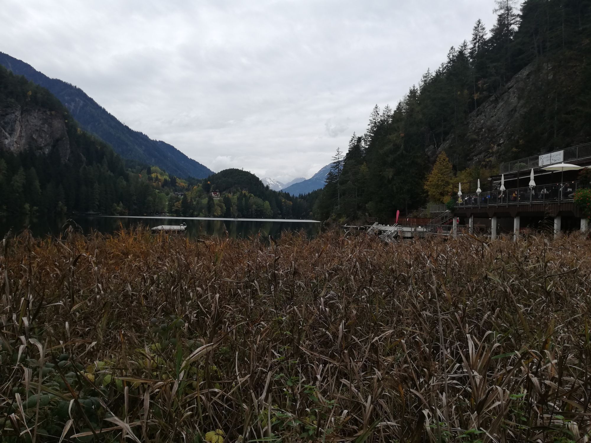
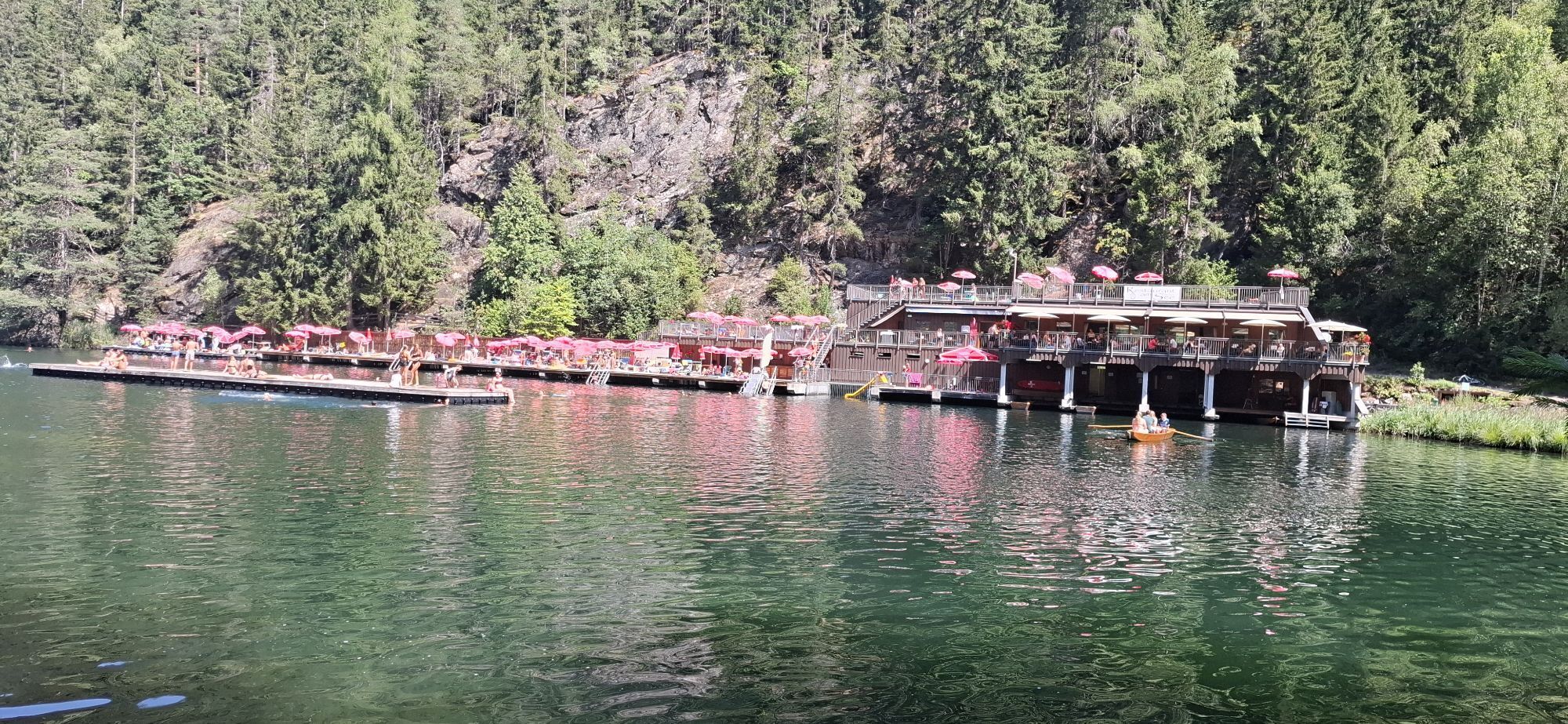
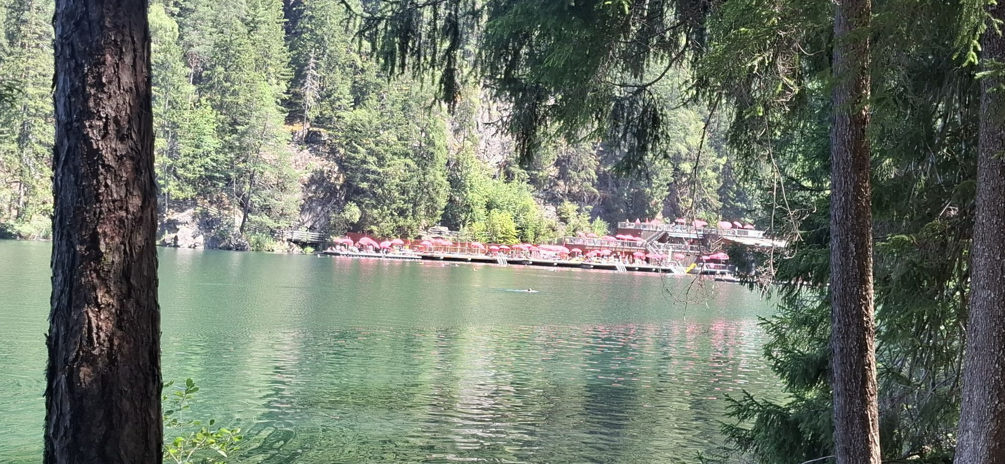
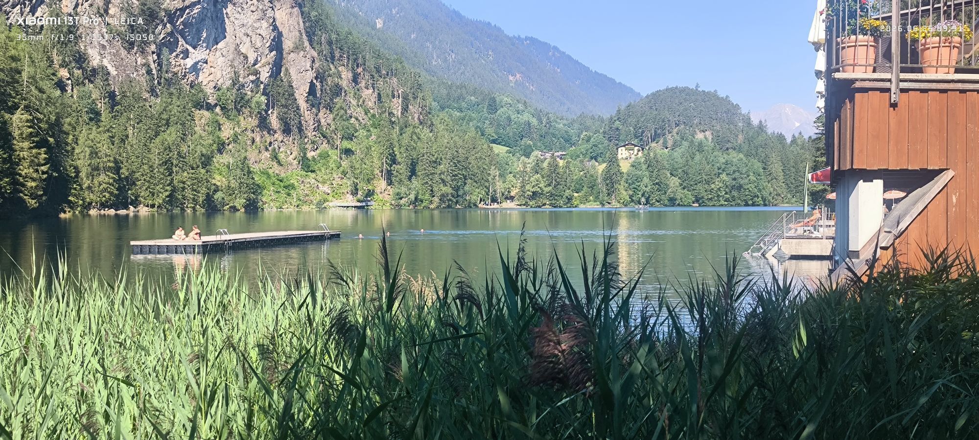
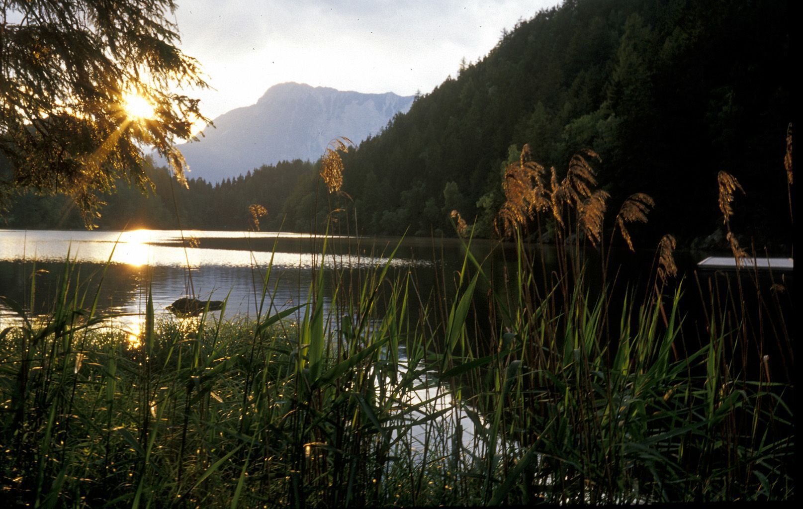
In summer on the south-end of the lake you can swim and rent a boat. There are 2 restaurants.

There are some other possibilities to walk to the lake. Have a look at the map "Piburger See" in the Tourist Office.
Restaurants at the lake or directly in Oetz
Tourist Office Oetz
Oui
Oui
Oui
Parking place in the center of Oetz (fee)
Parking at the cable car station (free parking)
 Obtenez un aperçu Toujours en direct avec plus de 9.500 webcams. En tant qu'utilisateur Pro, vous pouvez désormais voir les webcams correspondantes à de nombreuses randonnées dans l'application de randonnées de bergfex. Vous pouvez ainsi voir directement les conditions actuelles.
Parcours populaires à proximité
- 4,7
Trip Tirol ➤ Randonnée vers la Grotte Bleue - Gorge de Rosengarten Imst
moyenRandonnée 4,86 km - 4,3
Randonnée Stuibenfall - Umhausen
facileRandonnée 2,95 km - 4,3
Randonnée circulaire Stuibenfall Umhausen
facileRandonnée 9,32 km - 4,5
Oetz - Lac Piburger - Oetz
moyenRandonnée 7,16 km - 4,7
Randonnée au sommet Faltegartenköpfl
moyenRandonnée 4,04 km - 4,2
Umhausen - Stuibenfall - Umhausen
moyenRandonnée 7,94 km - 4,8
lake Piburger See
facileRandonnée 2,75 km - 4,6
Randonnée circulaire Bergmahderweg - Niederthai
facileRandonnée 7,60 km - 4,1
Arzkasten - Lehnberghaus
facileRandonnée 3,08 km - 4,5
Ascension au sommet de la croix du Wetter à Hochoetz
moyenRandonnée 3,06 km
Randonnée et suivi


Ne manquez pas les offres et l'inspiration pour vos prochaines vacances
Votre adresse électronique a été ajouté à la liste de diffusion.





