
Ski tour Tessenberger Alm 1.950m
facile
Télécharge cette visite sur ton portable
Ski tour Tessenberger Alm 1.950m
facile
Ski de randonnée
7,41
km
Scanner le code QR et commencer la navigation dans l'application bergfex


Randonnée & tracking





Ski tour Tessenberger Alm 1.950m
facile
Distance
7,41
km
Durée
02:00
h
Ascension
894
m
Altitude
1 325 -
2 247
m
Téléchargement de la piste
Ski tour Tessenberger Alm 1.950m
facile
Ski de randonnée
7,41
km
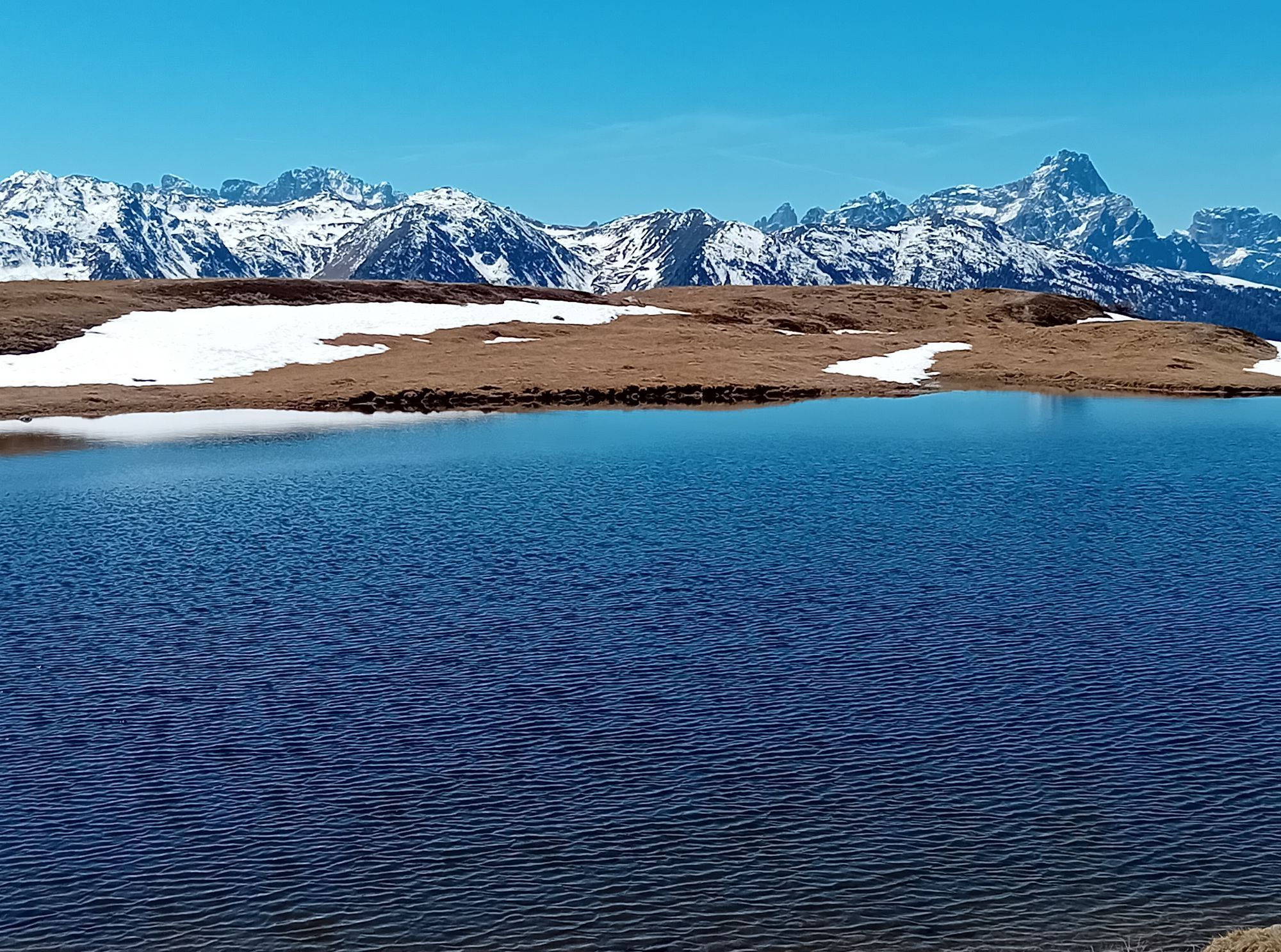
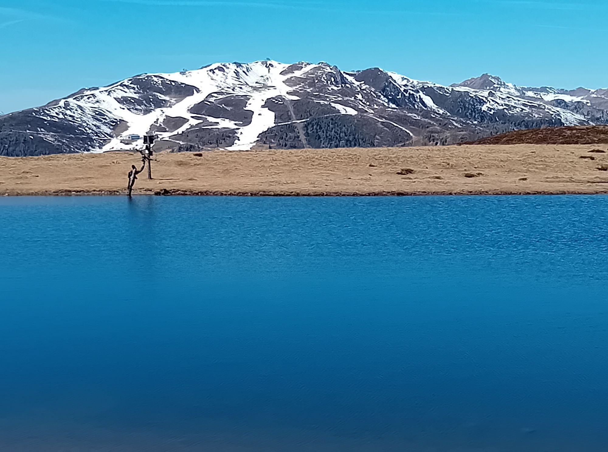
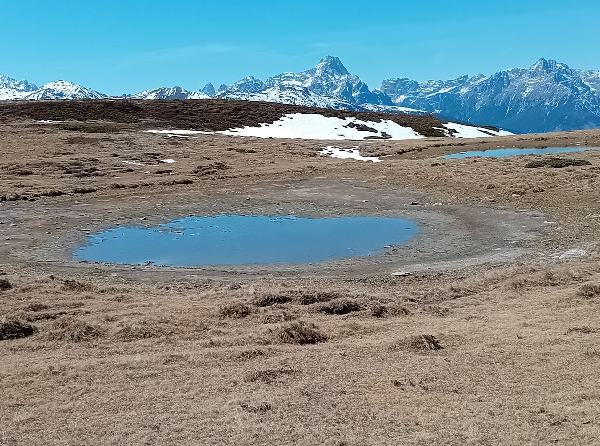
The wonderful Tessenberger Alm is situated to the north of the town of Heinfels in the sunny area of Pustertal and is a perfect tour destination for pleasure-seekers, sun-worshippers and those who are...
Description
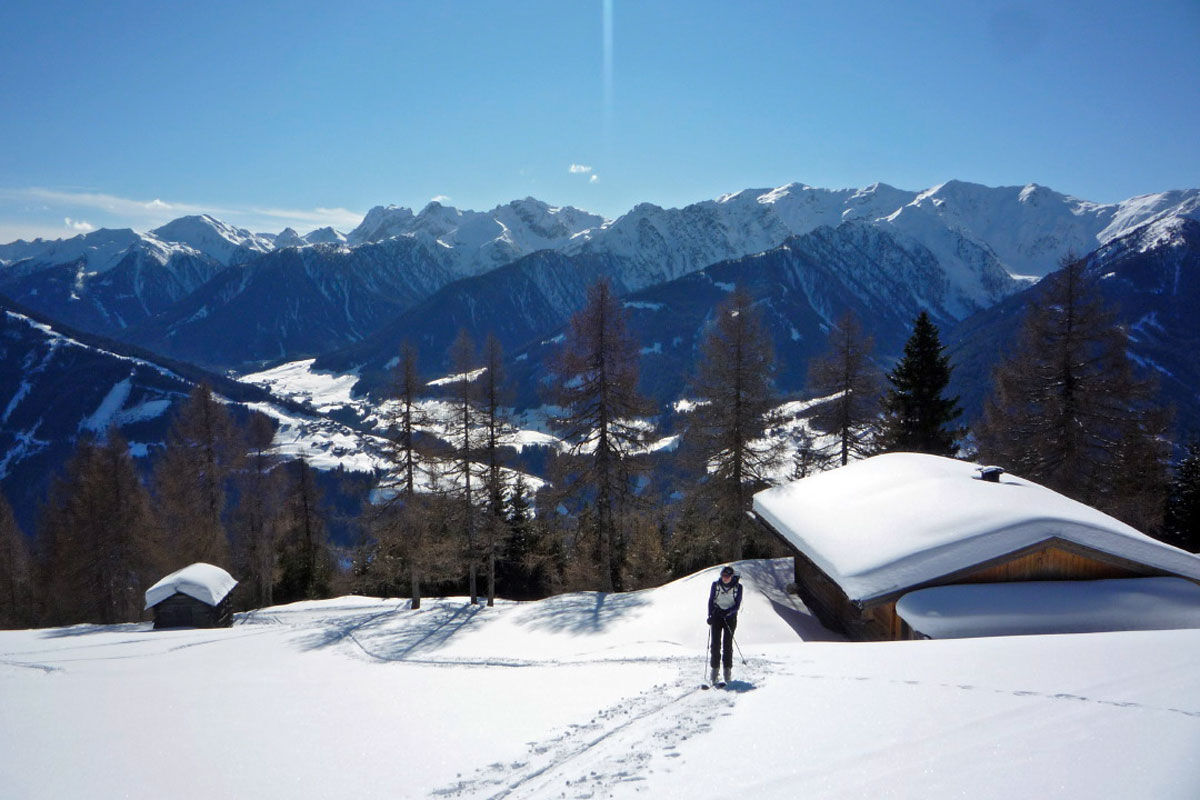
The wonderful Tessenberger Alm is situated to the north of the town of Heinfels in the sunny area of Pustertal and is a perfect tour destination for pleasure-seekers, sun-worshippers and those who are new to ski tours, who want to find out more about ski touring without any appreciable risk of avalanche. The Steinrastl is the highest point of the Tessenberger Alm high plateau and you can head there as an encore. The ski tour to Tessenberger Alm is only advisable in winter when snow is plentiful, due to its sunny setting. Starting point is on a slope terrace in the idyllically located parish of Tessenberg (1340 m). It is accessible from the town of Heinfels, parish of Panzendorf, via a 3 km mountain road which provides plenty of views which starts behind a little sports ground, where a forest trail then starts (1320 m, not much parking available). It is also possible to start out directly in the village and between the houses heading west for the fields. For the descent you can head on the pastures to the rural road. We now follow the forest trail to the first junction where the 5 km road to the Tessenberger Alm bears right (signposts). This is later used as the descent and for the ascent is somewhat monotonous. We head straight on at the junction (west) and soon leave the forest road at an Alpine inn which is bathed in sunshine. Across fantastic glades, interspersed with forested sections, the track now swings in a northerly direction uphill. Crossing the road on several occasions, after 1 ½ - 2 hours we get to the pretty Tessenberger Almrast (1940 m). The forest now becomes somewhat lighter and we follow the track briefly to the north-east, to more lovely Alpine inns at the start of a somewhat steep glade. This takes us in a few hairpin bends to the high plateau of the Tessenberger Alm, where we head north to the big cross on the Tessenberg (around 2130 m). Descent along the ascent track.
Additional ski tour tips can be obtained in the ski tour guides by Thomas Mariacher. These are available here: http://www.grafikzloebl.at/verlag/buecher/
Parcours
Tessenberg
(1 301 m)
Village
0,0 km
Astrane
(1 804 m)
Couloir/terrain
3,9 km
Glinzzipf
(2 126 m)
Sommet
5,8 km
Kühegg
(2 253 m)
Sommet
7,1 km
Parcours
Ski tour Tessenberger Alm 1.950m
facile
Ski de randonnée
7,41
km
Tessenberg
(1 301 m)
Village
0,0 km
Borzen
(1 596 m)
Couloir/terrain
2,4 km
Astrane
(1 804 m)
Couloir/terrain
3,9 km
Glinzzipf
(2 126 m)
Sommet
5,8 km
Kühegg
(2 253 m)
Sommet
7,1 km



Informations sur l'itinéraire
Itinéraire
Mit dem Auto bis nach Heinfels
Transports en commun
Mit dem Bus bis zur Haltestelle "Panzendorf Gemeindeamt Heinfels"
Parking
Parkplatz Gemeindeamt Heinfels
Pas encore d'évaluation
Obtenez un aperçu Toujours en direct avec plus de 9.500 webcams. En tant qu'utilisateur Pro, vous pouvez désormais voir les webcams correspondantes à de nombreuses randonnées dans l'application de randonnées de bergfex. Vous pouvez ainsi voir directement les conditions actuelles.Parcours populaires à proximité
- 4,5
Kartitsch-Obstansersee Hütte
moyenRandonnée 13,1 km - 4,8
Rotwandwiesen kreuzbergpass rundweg
moyenRandonnée 12,0 km - 3,9
Rotwandspitze
moyenVia ferrata 10,6 km - 4,8
Von Kalkstein auf das Toblacher Pfannhorn (2.663 m) und Marchkinkele
moyenRandonnée 14,2 km - 4,3
Connyalm (2.070 m)
Randonnée 6,36 km - 5,0
Porzehütte (1.942 m)
facileRandonnée 9,01 km - 4,8
Sillianer Hütte 2.447 m
moyenRandonnée 16,8 km - 4,9
Fischleintalhütte - Rotwandwiesen - Rotwandköpfe - Talschlusshütte- Fischleintalhütte
moyenRandonnée 13,4 km - 3,9
Helm und Sillianer Hütte
facileRandonnée 8,17 km - 5,0
Karnischer Höhenweg – Etappe 2: Obstansersee Hütte – Porzehütte
difficileChemin de Grande Randonnée 12,0 km
Randonnée et suivi

Plus de 550.000 propositions de circuits, des cartes détaillées et un planificateur d'itinéraire intuitif font de cette application un must pour tous les passionnés de nature.

Ne manquez pas les offres et l'inspiration pour vos prochaines vacances
S'inscrire à la newsletter
Erreur
Une erreur s'est produite. Veuillez réessayer.Merci pour votre inscription
Votre adresse électronique a été ajouté à la liste de diffusion.
Parcours en Europe
Autriche Suisse Allemagne Italie Slovénie France Pays-Bas Belgique Pologne Liechtenstein République tchèque Slovaquie Espagne Croatie Bosnie-Herzégovine Luxembourg Andorre Portugal Islande Royaume-Uni Irlande Grèce Albanie Macédoine du Nord Malte Norvège Monténégro Moldavie Kosovo Hongrie Saint-Marin Roumanie Estonie Lettonie Bélarus Chypre Lituanie Serbie Bulgarie Monaco Danemark Suède Finlande





