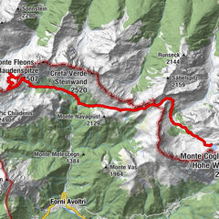
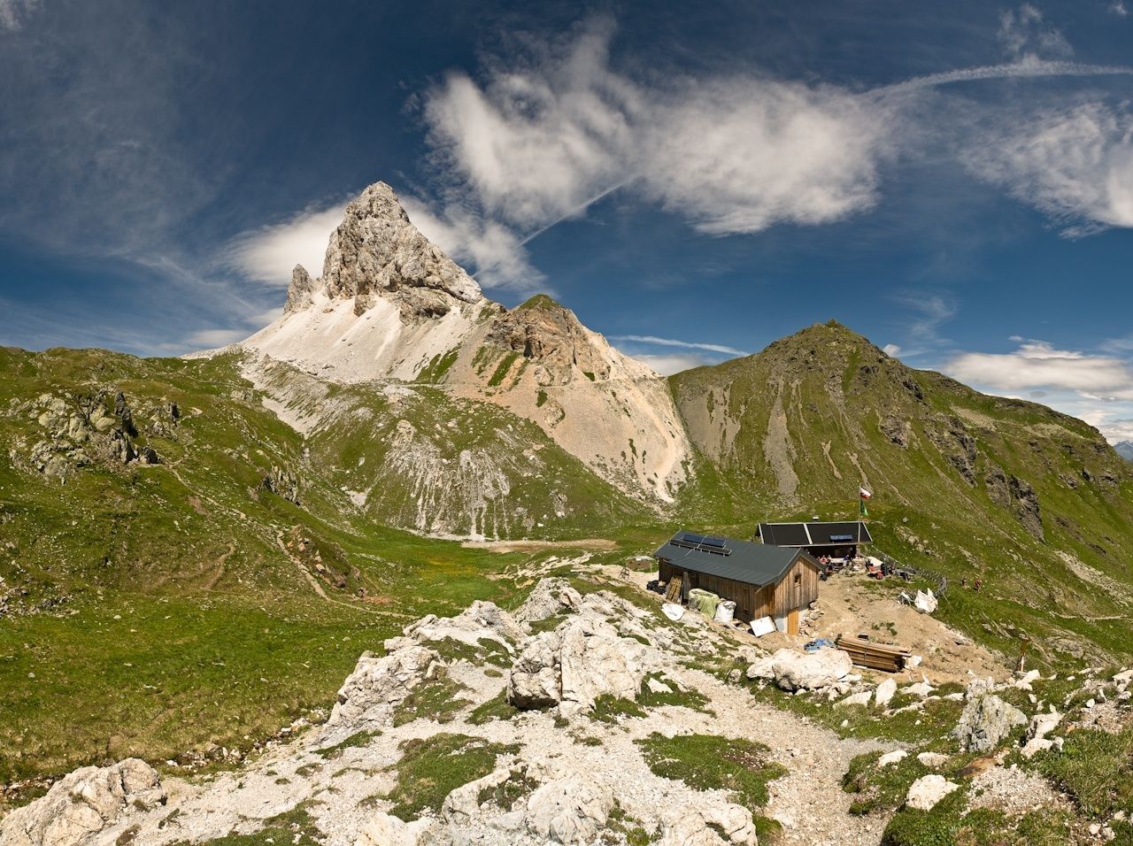
Karnischer Höhenweg – Etappe 2: Obstansersee Hütte – Porzehütte

Chemin de Grande Randonnée
© NLW Tourismus Marketing GmbH - Tourismusinfo Nassfeld-Pressegger See
© (c) Traildino - Tourismusinfo Nassfeld-Pressegger See
© NLW Tourismus Marketing GmbH - Tourismusinfo Nassfeld-Pressegger See
- Brève description
-
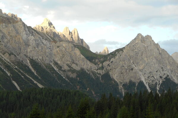
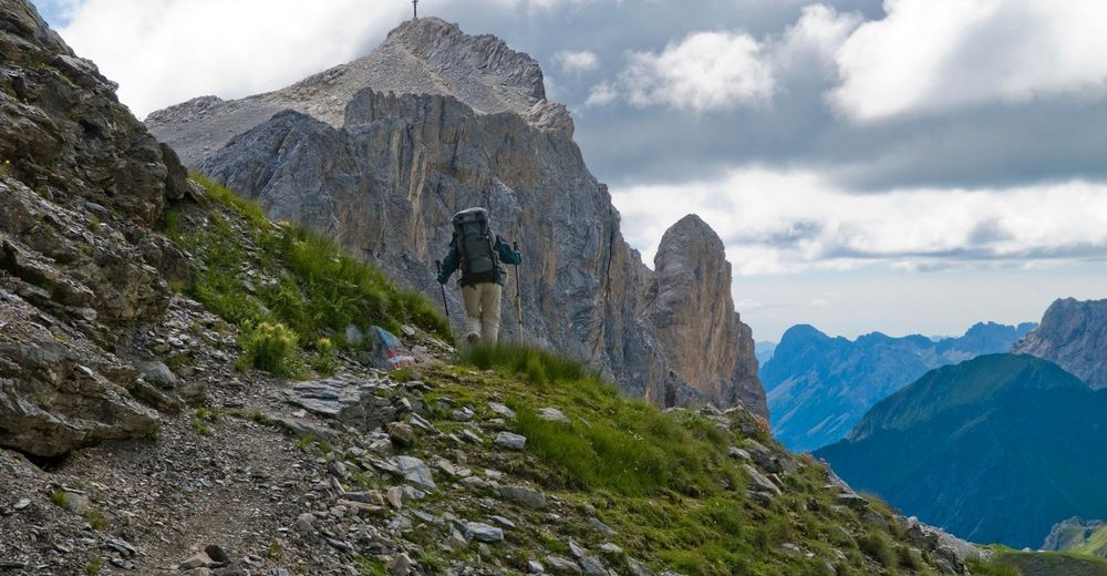
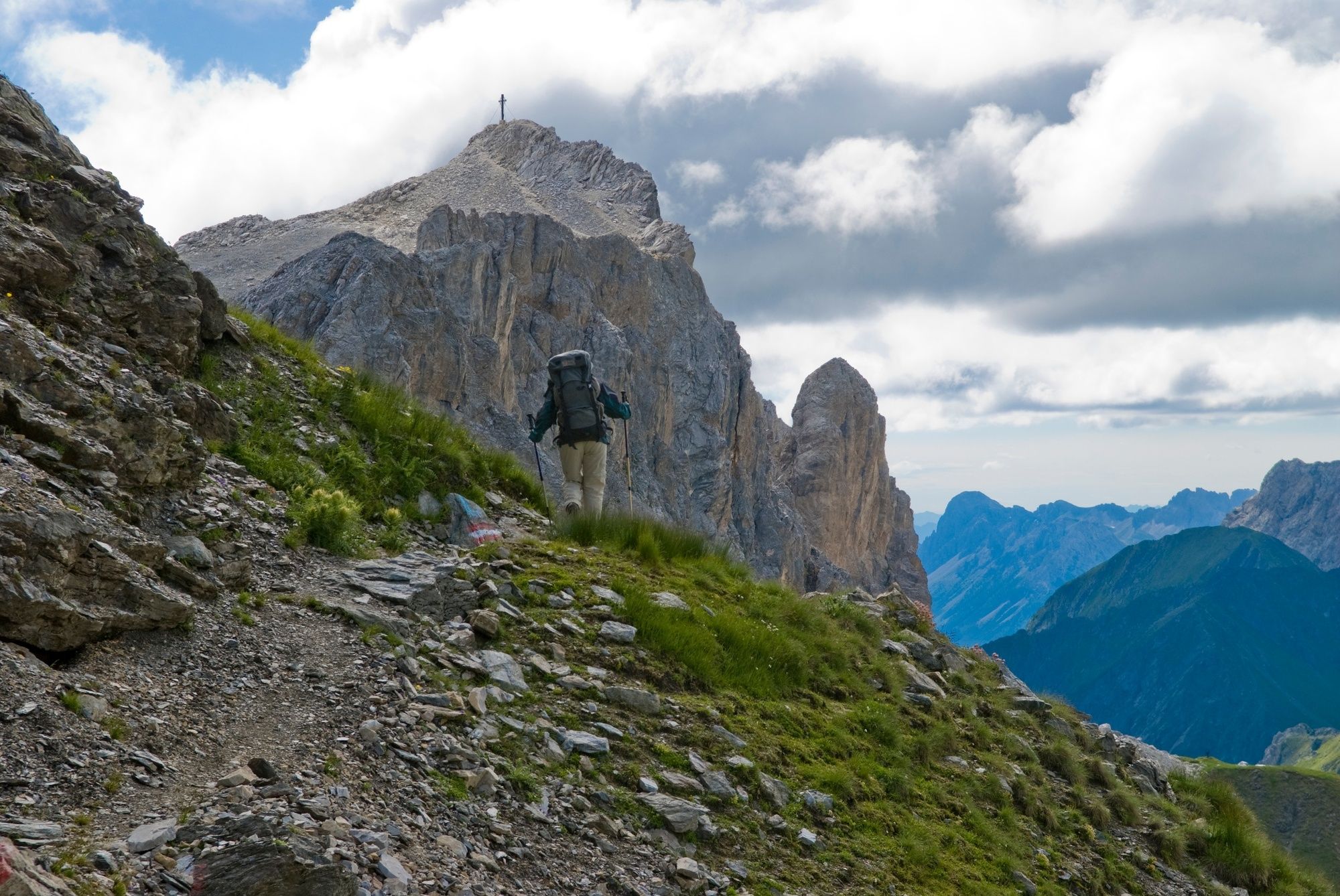
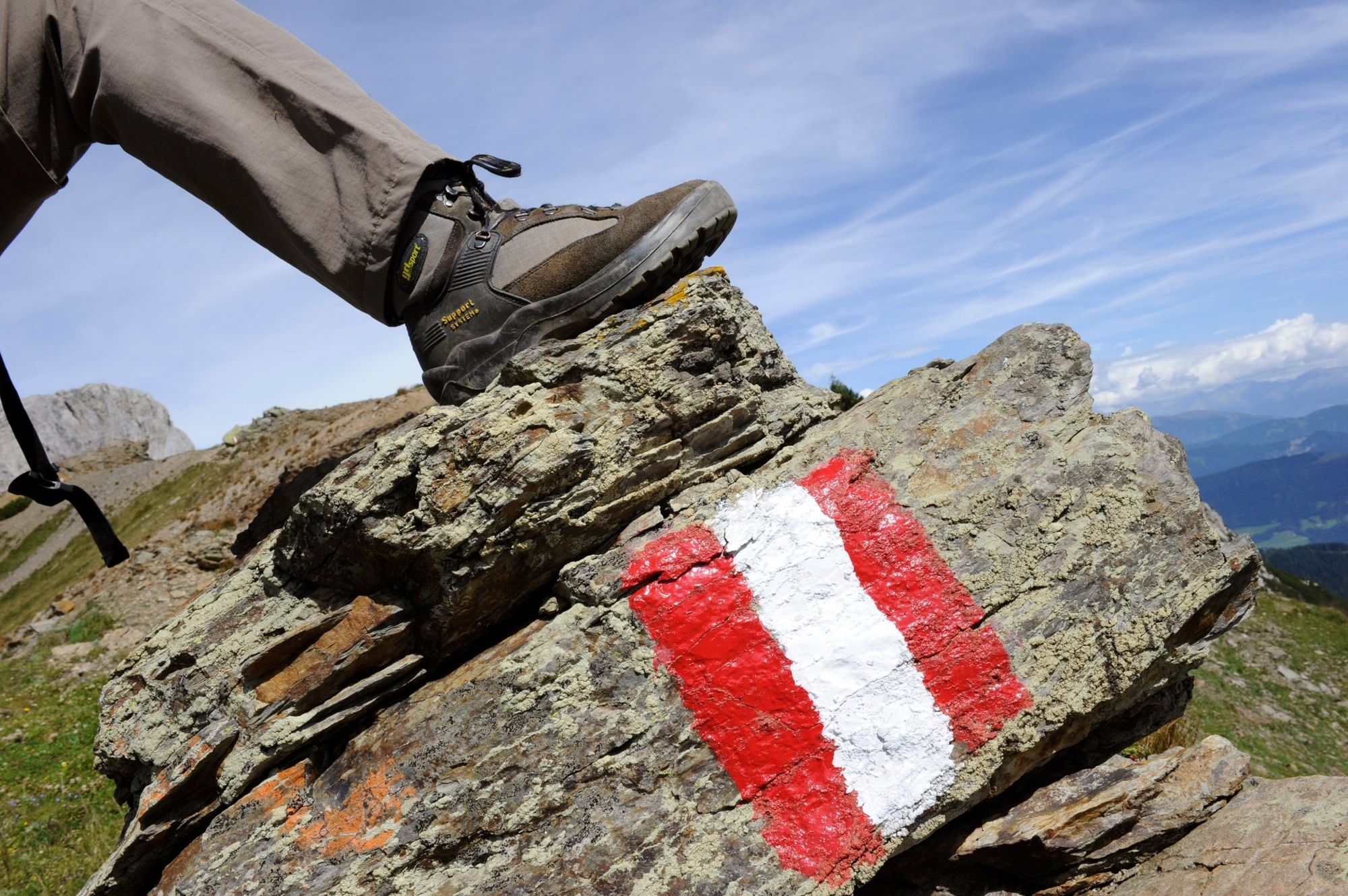
The Karnische Höhenweg or "Friedensweg" leads along the entire Karnische Kamm, which runs along the border between Austria and Italy.
- Difficulté
-
difficile
- Évaluation
-
- Parcours
-
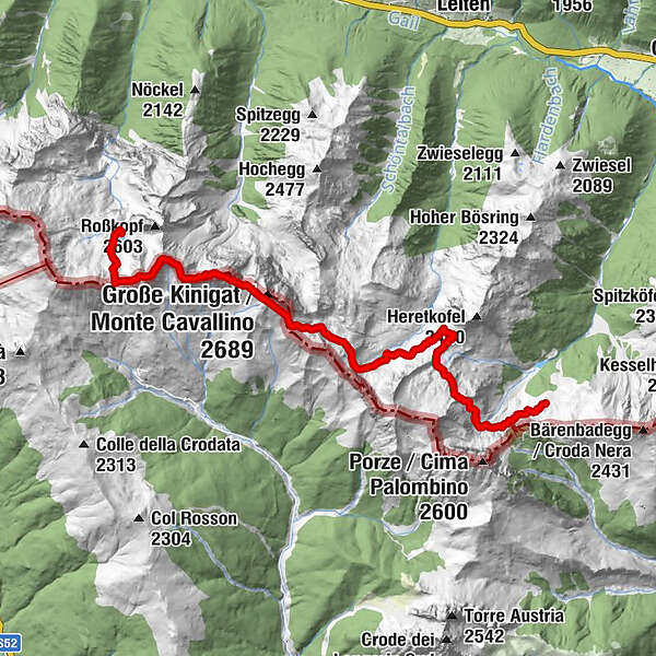
Pfannspitze (2.678 m)2,0 kmKleine Kinigat (2.675 m)3,4 kmSandiger Boden (2.512 m)3,6 kmGroße Kinigat (2.689 m)4,1 kmKönigswandtürml (2.636 m)4,3 kmFilmoor-Standschützenhütte5,3 kmPorzehütte12,0 km
- Meilleure saison
-
janv.févr.marsavrilmaijuinjuil.aoûtsept.oct.nov.déc.
- Hauteur maximale
- 2.661 m
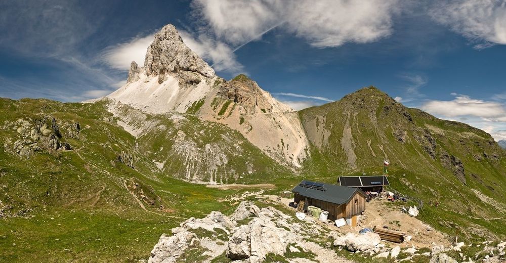
- Point de mire
-
Porzehütte
- Profil en hauteur
-

- Auteur
-
La randonnée Karnischer Höhenweg – Etappe 2: Obstansersee Hütte – Porzehütte est utilisé par outdooractive.com fourni par.
GPS Downloads


Informations générales
Point de rassemblement
Culturel/Historiquement
Flore
Faune
Prometteur
Autres parcours dans les régions
-
Belluno-Dolomiti
1074
-
Hochpustertal - Osttirol
695
-
Kartitsch
206