







Vonm Almidyll Sabathy (Sabathyhütte) zur Rothaidehütte

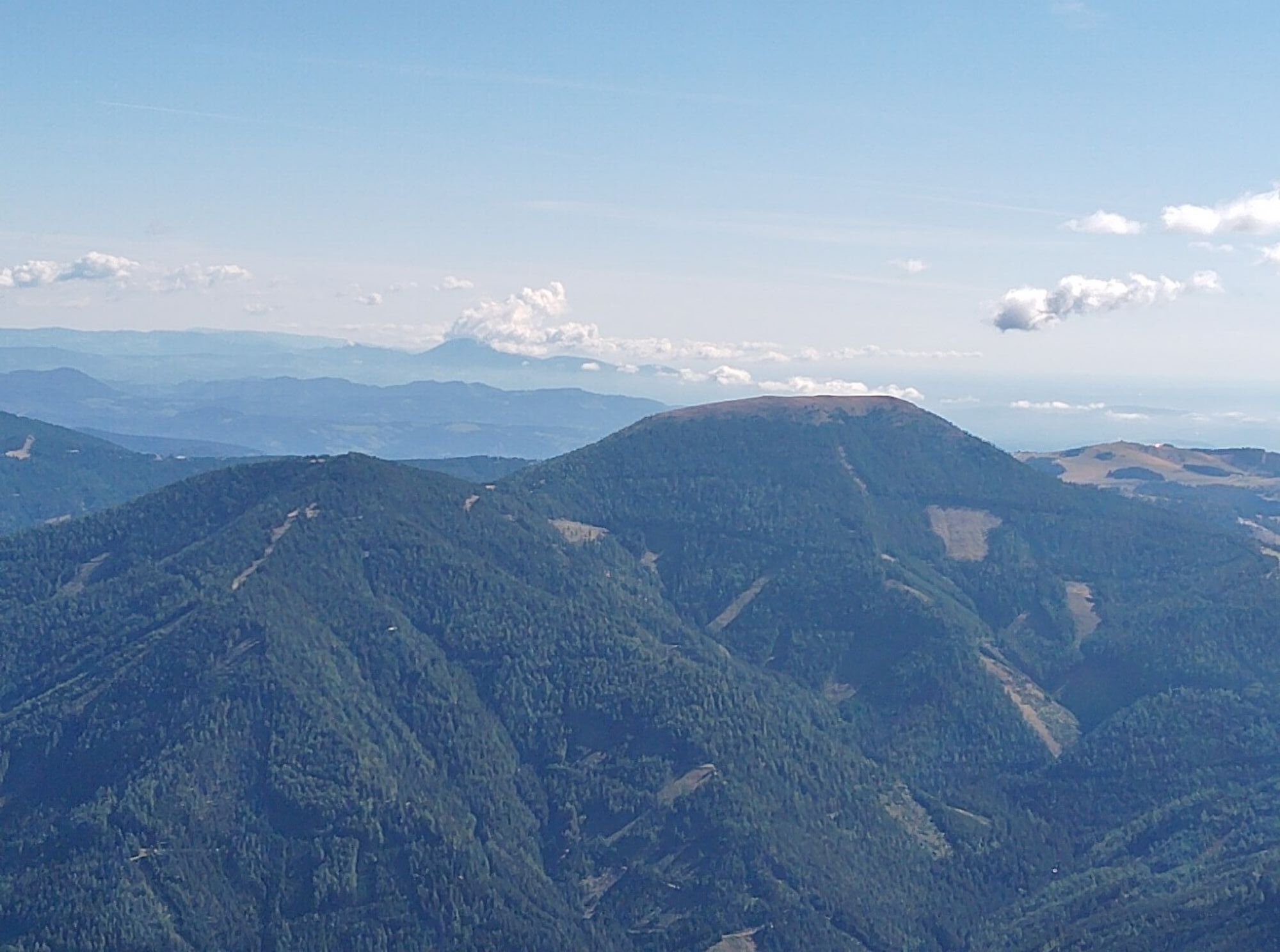
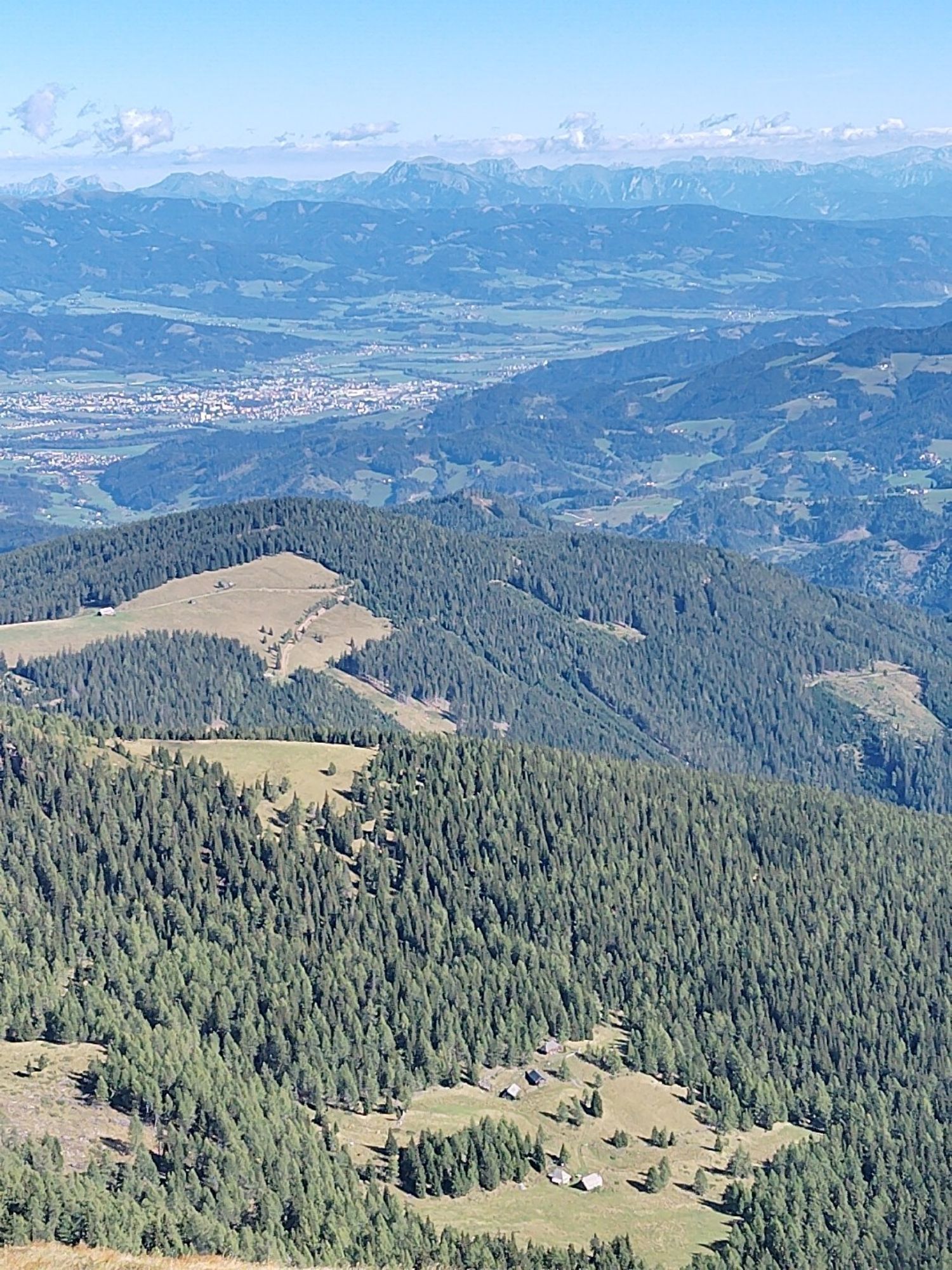
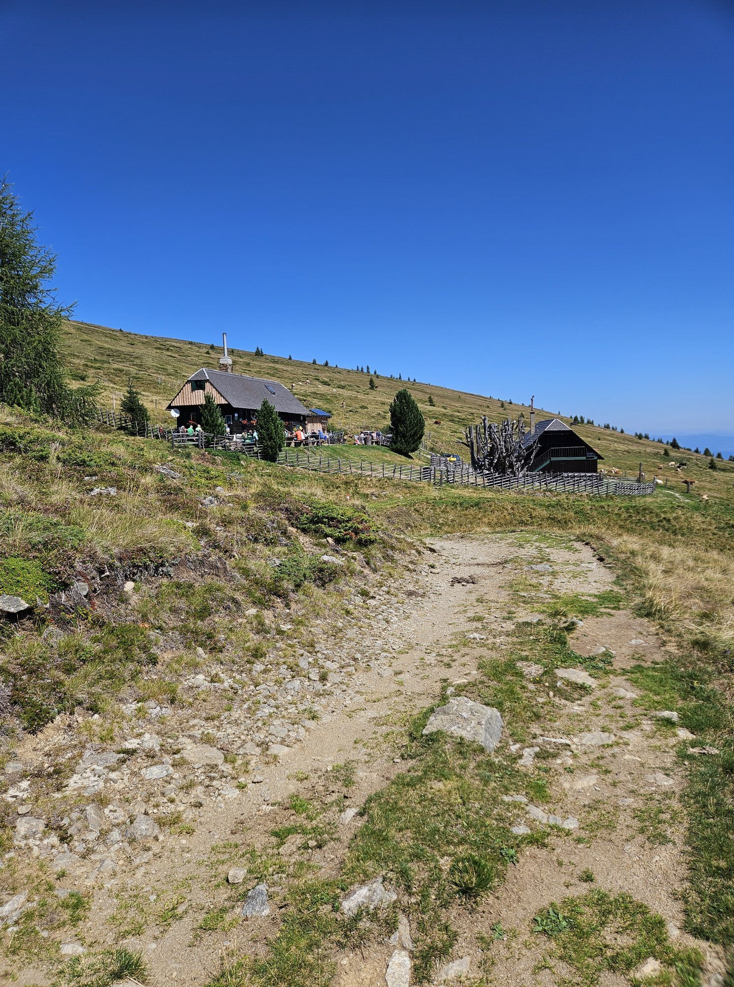
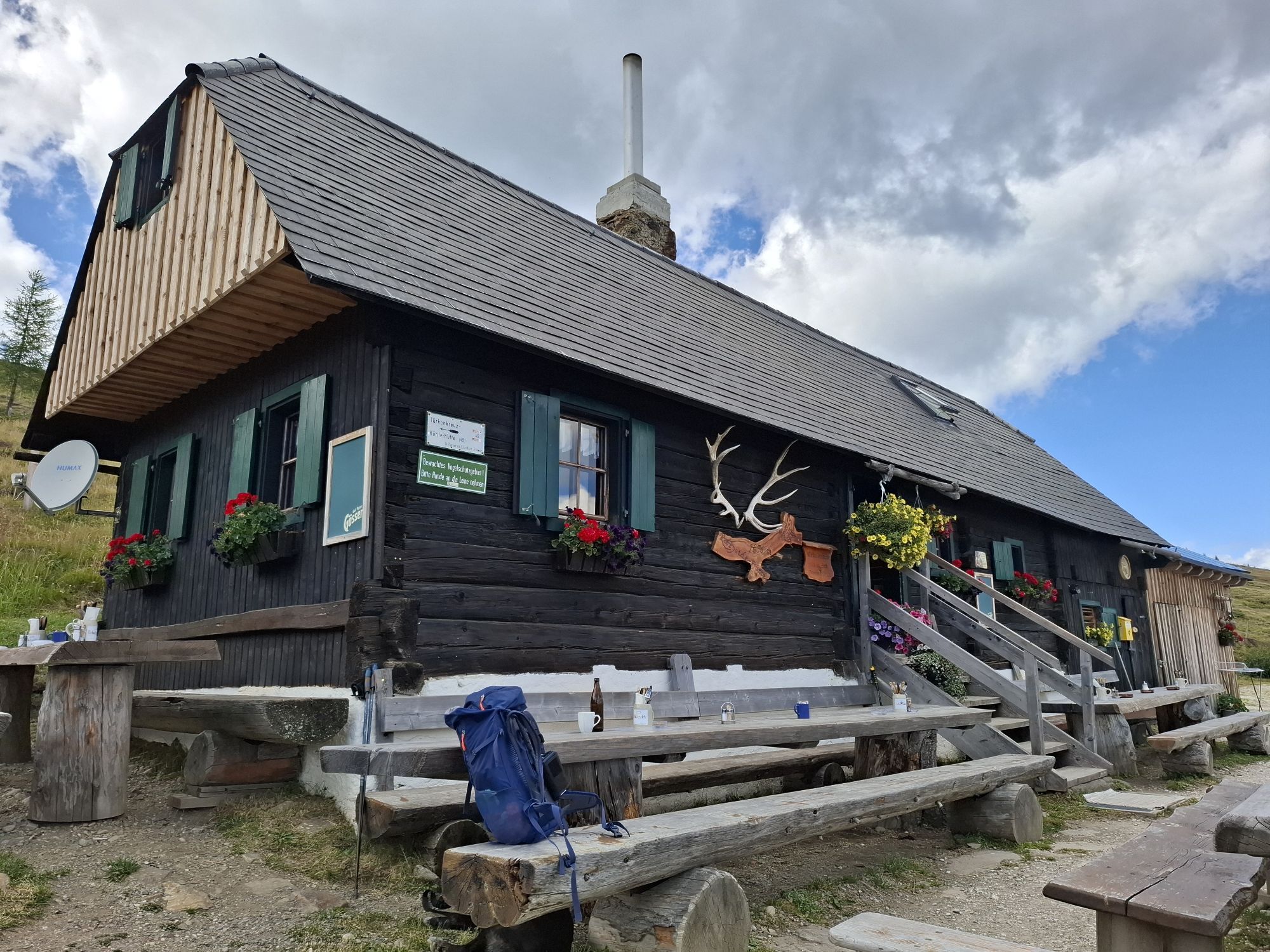
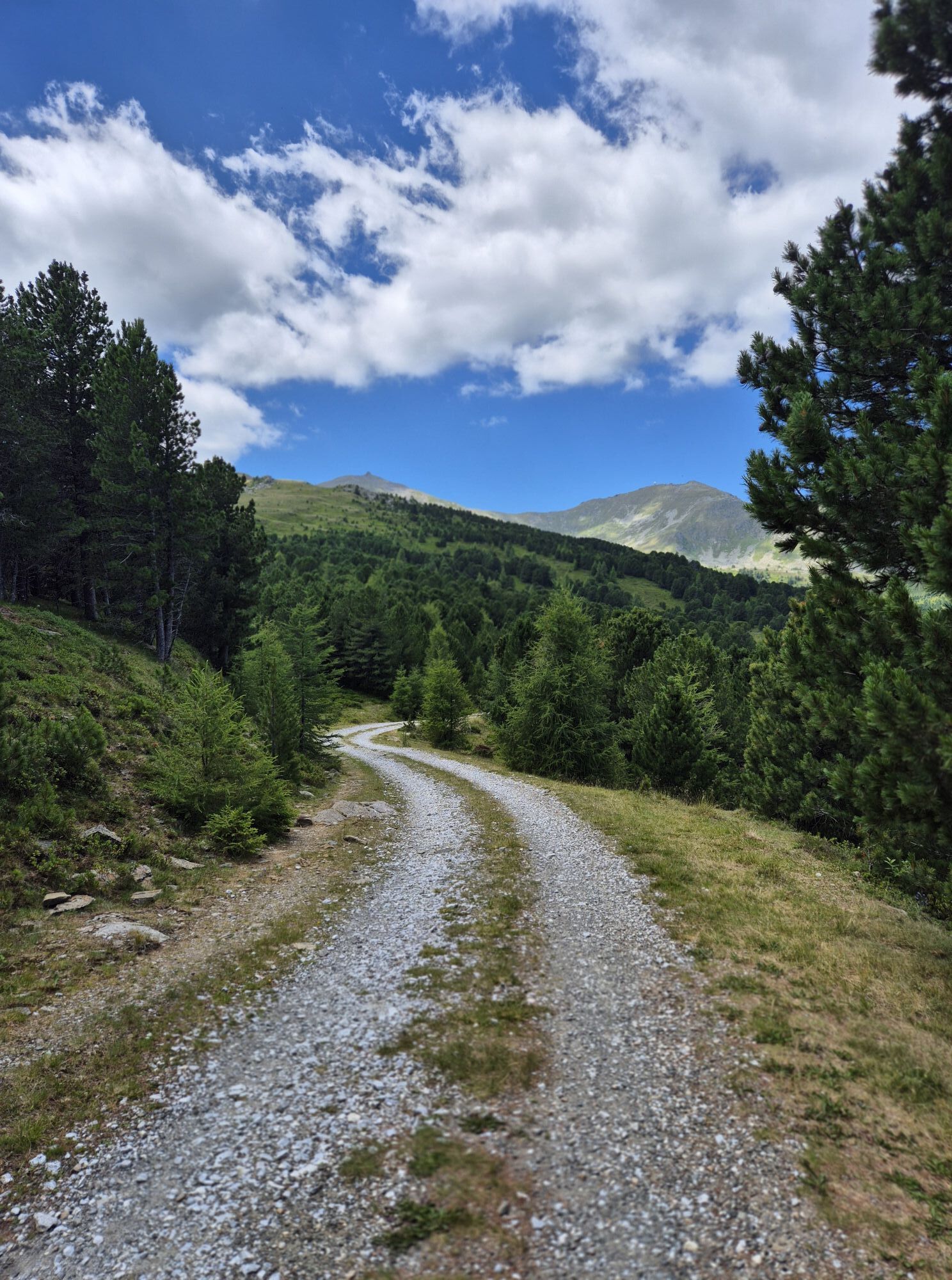
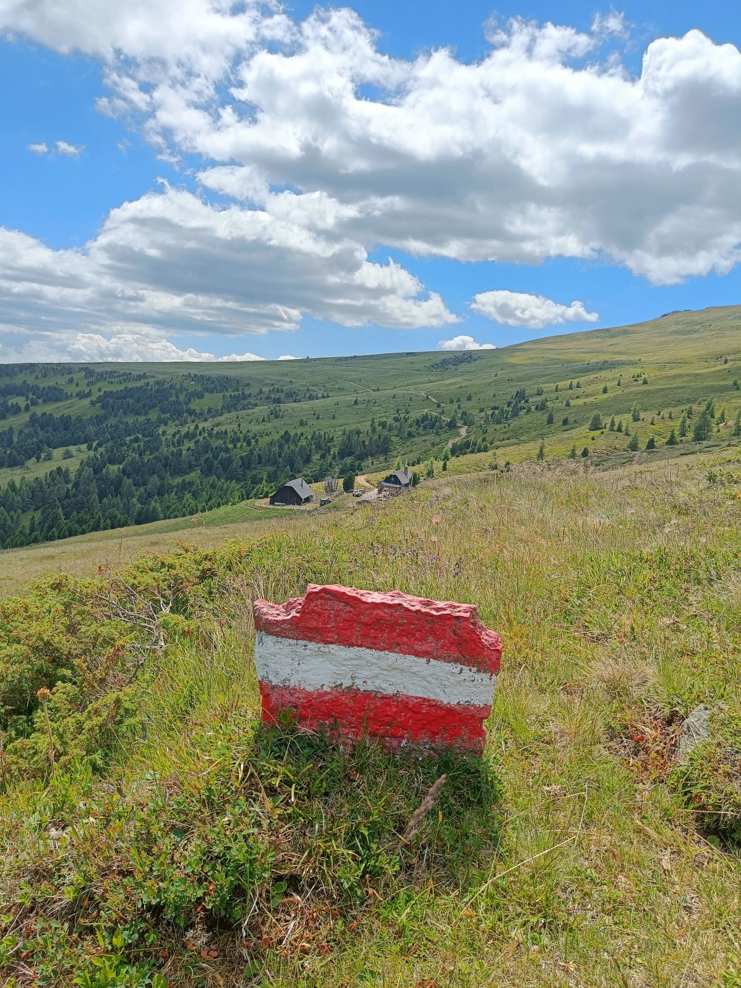
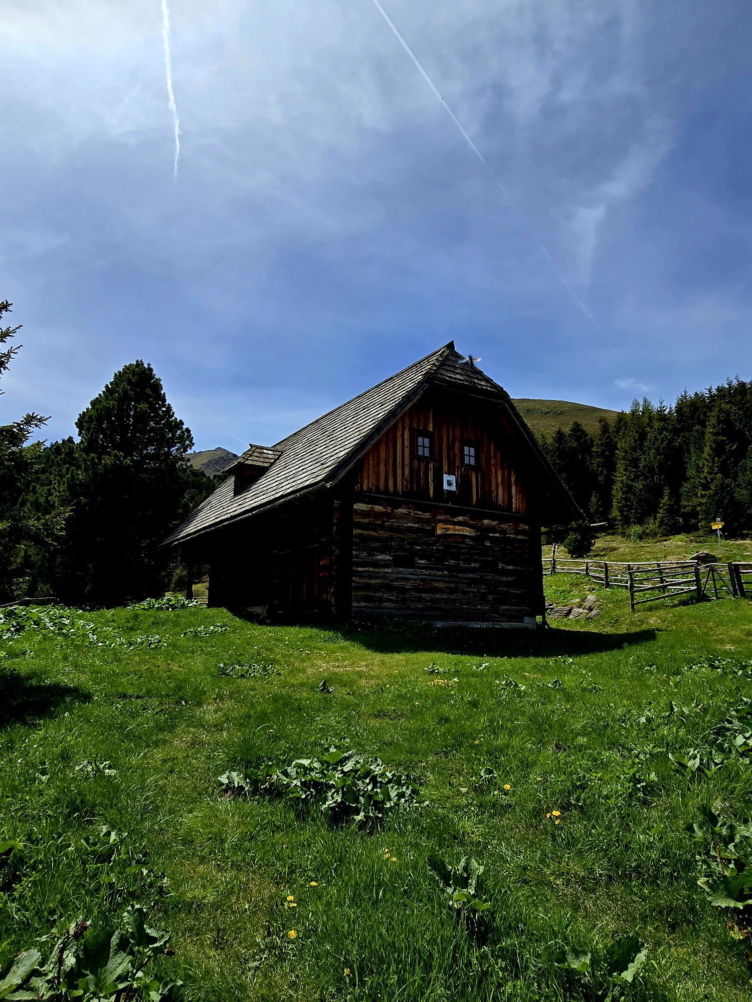
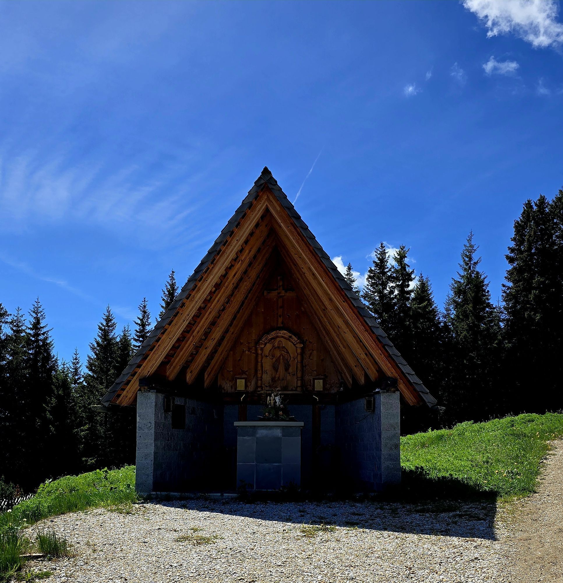
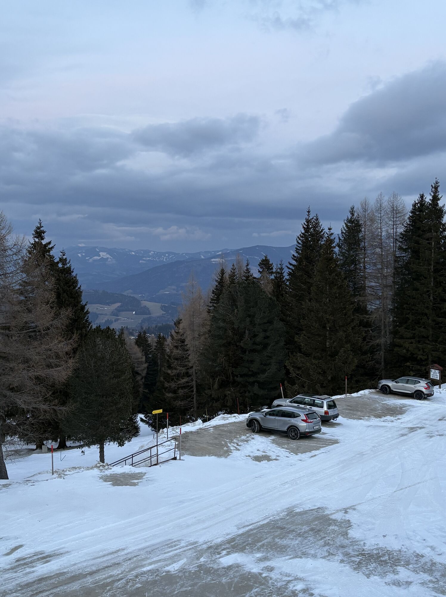

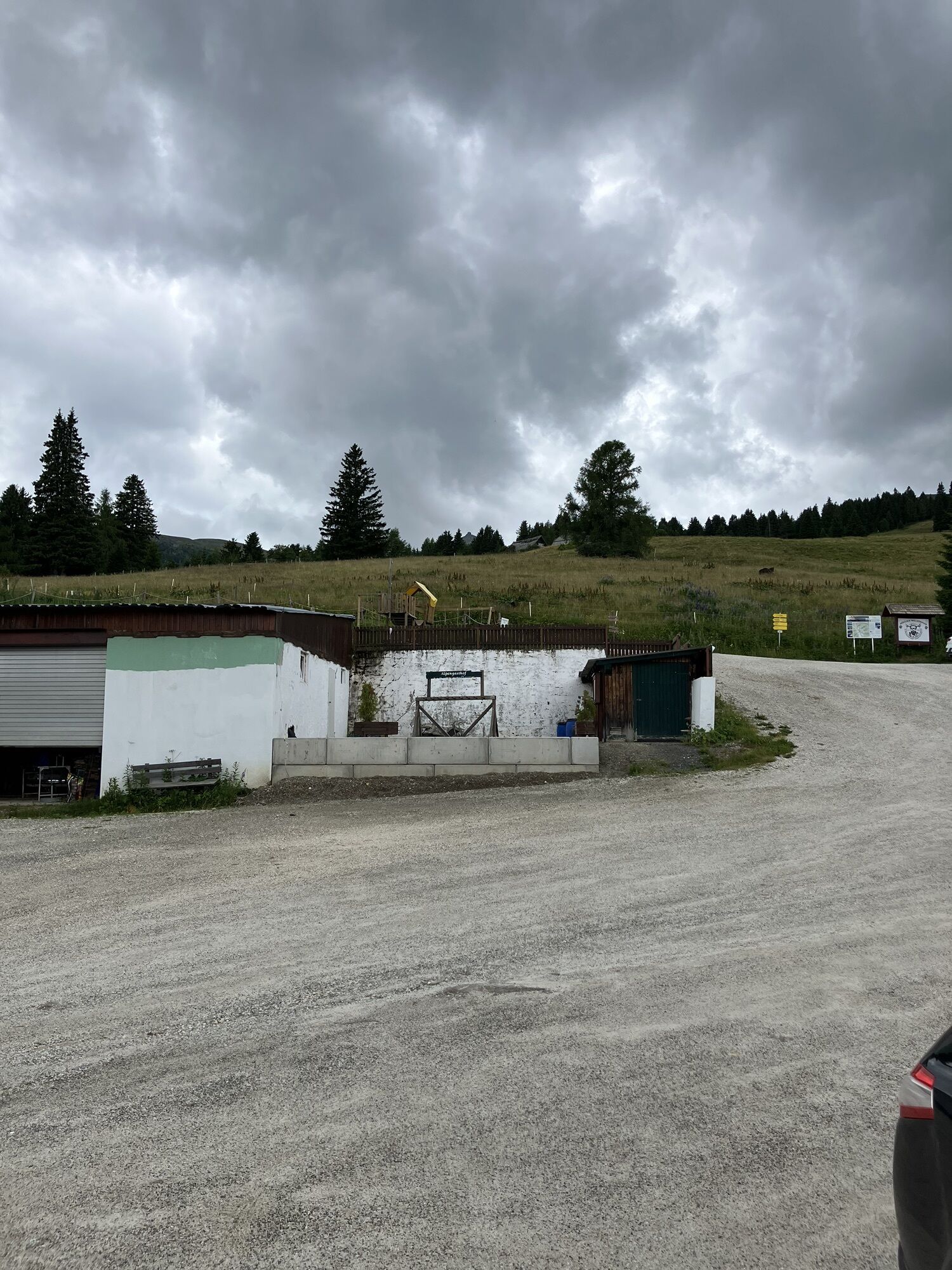
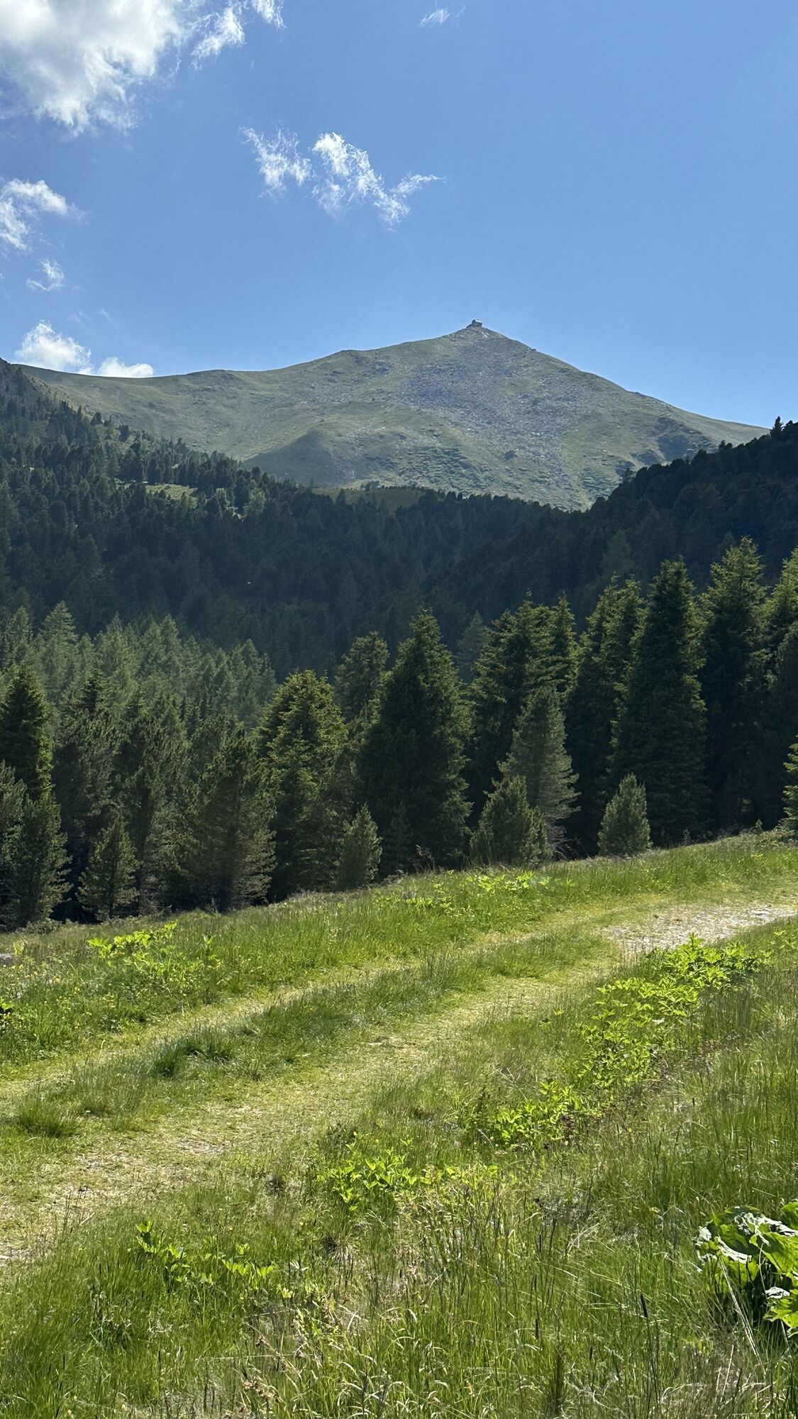
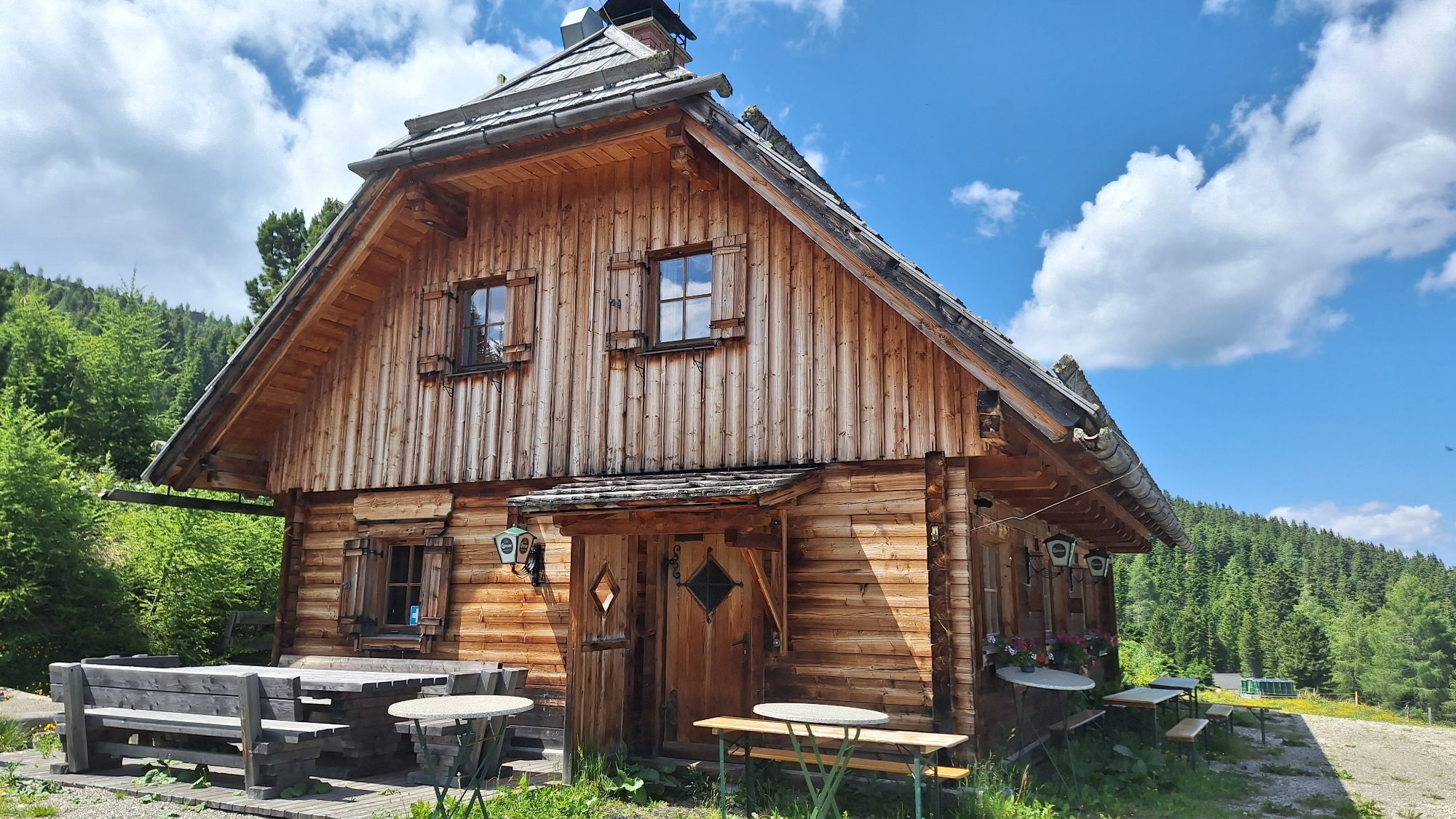
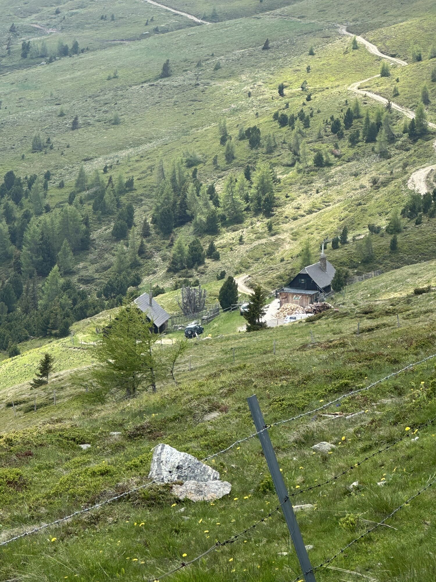
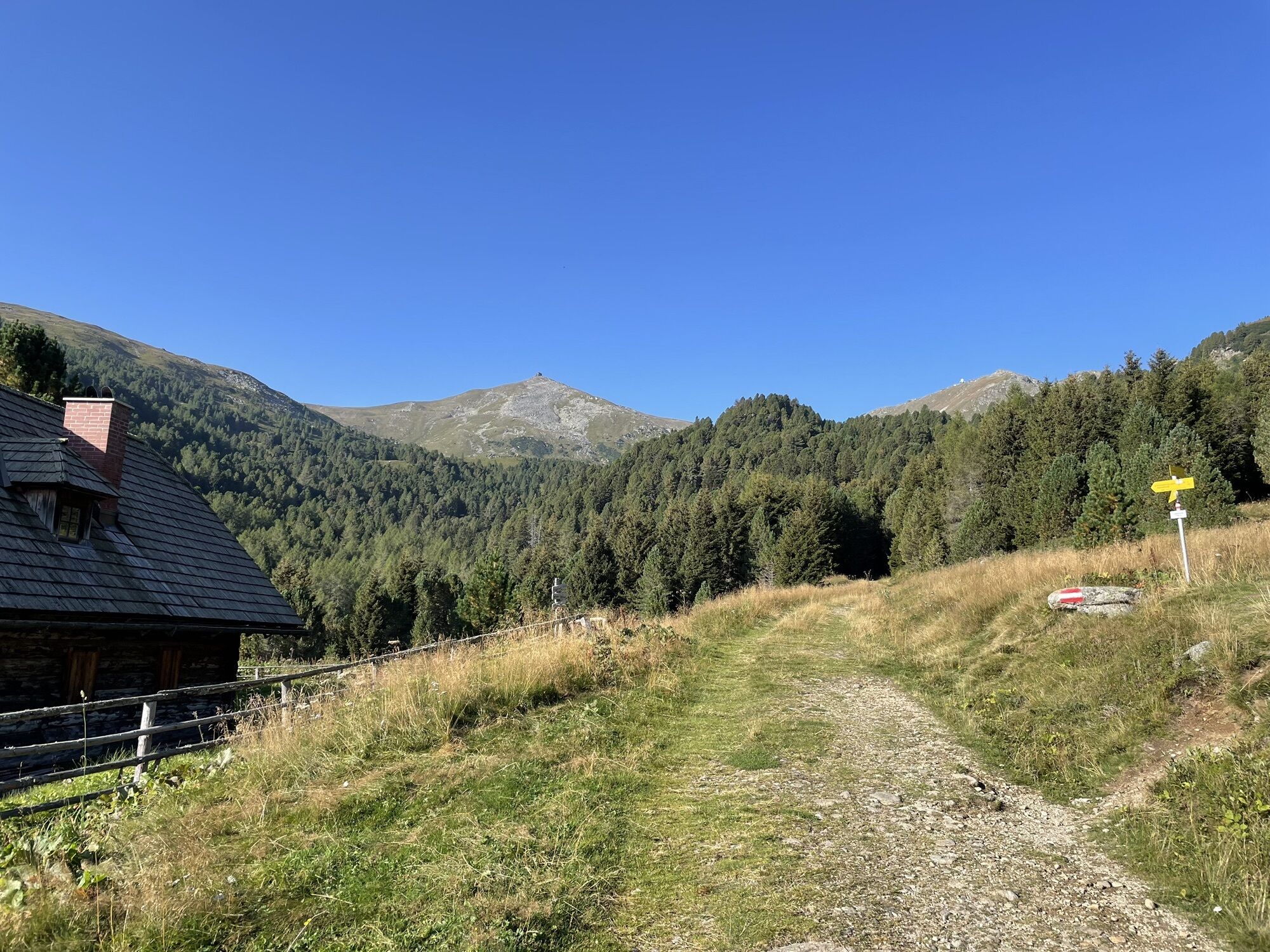
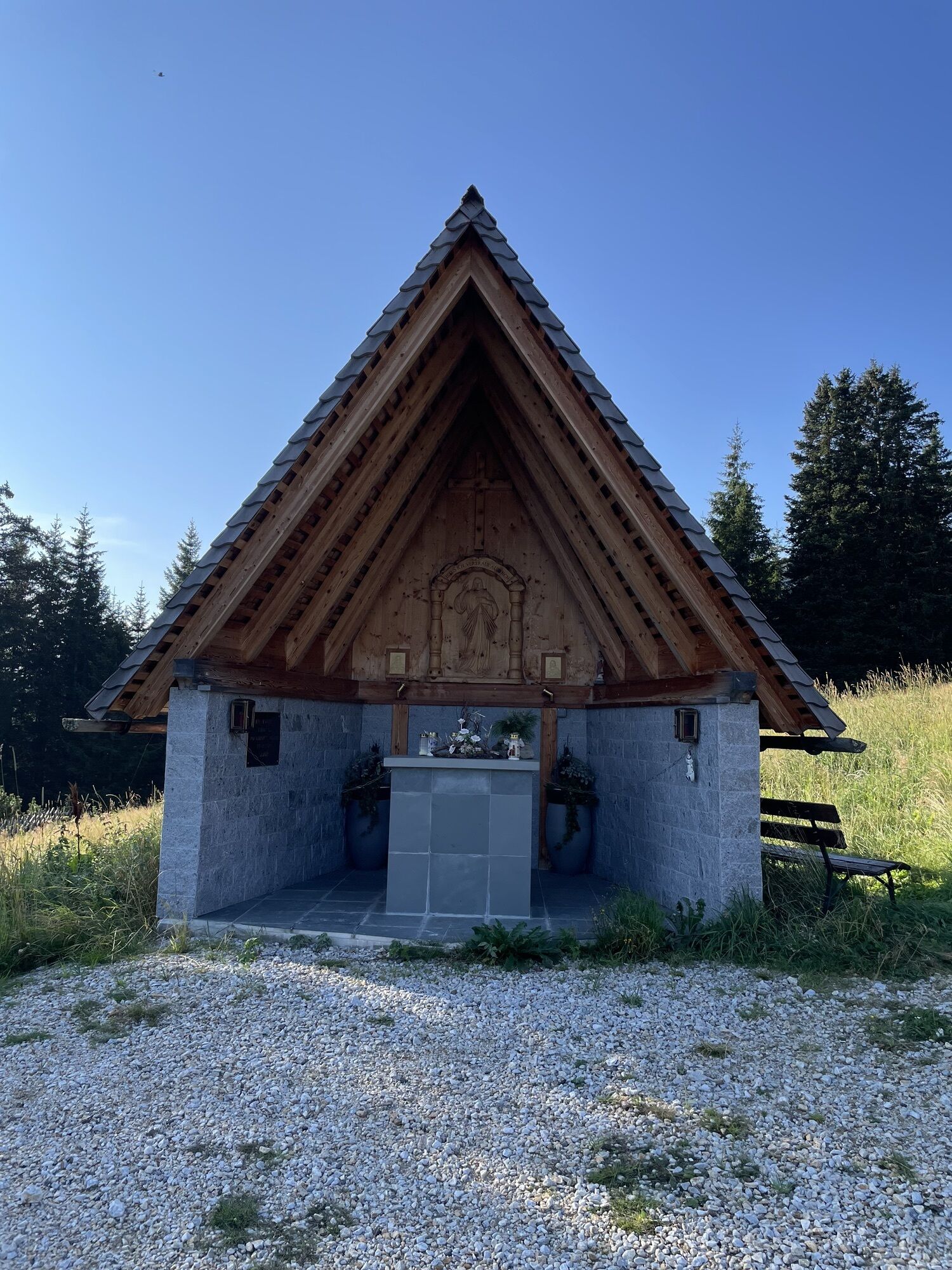
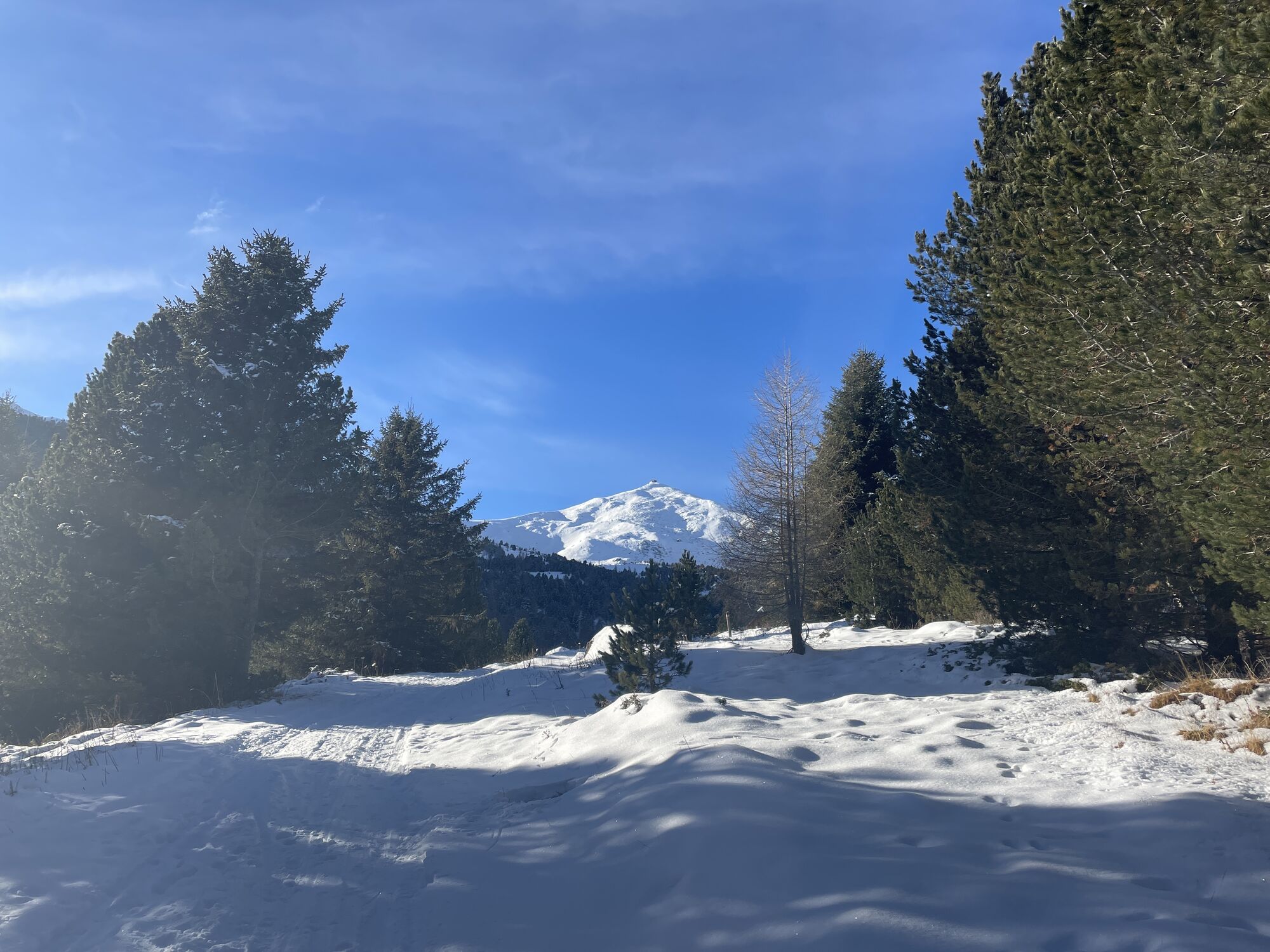
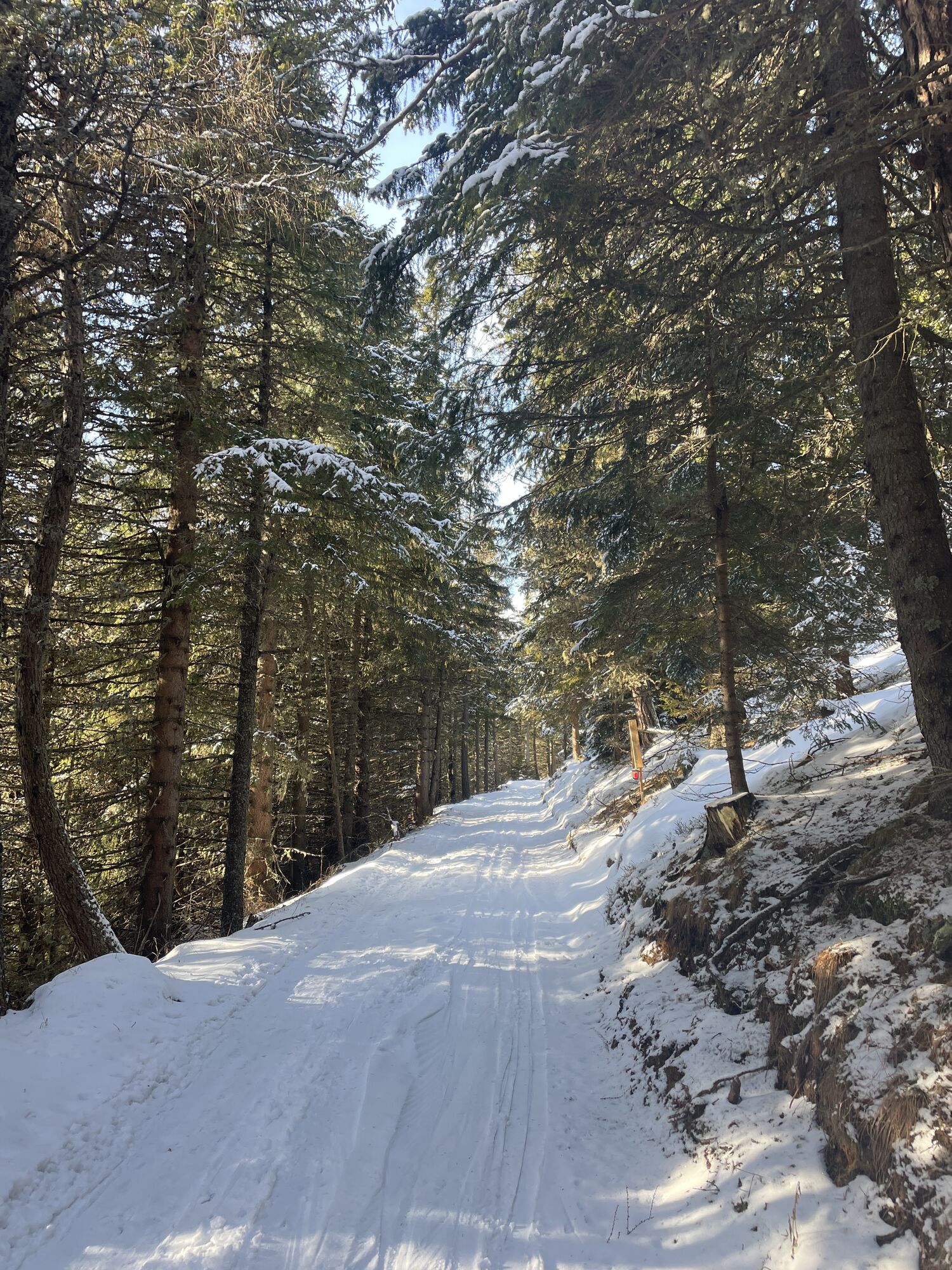
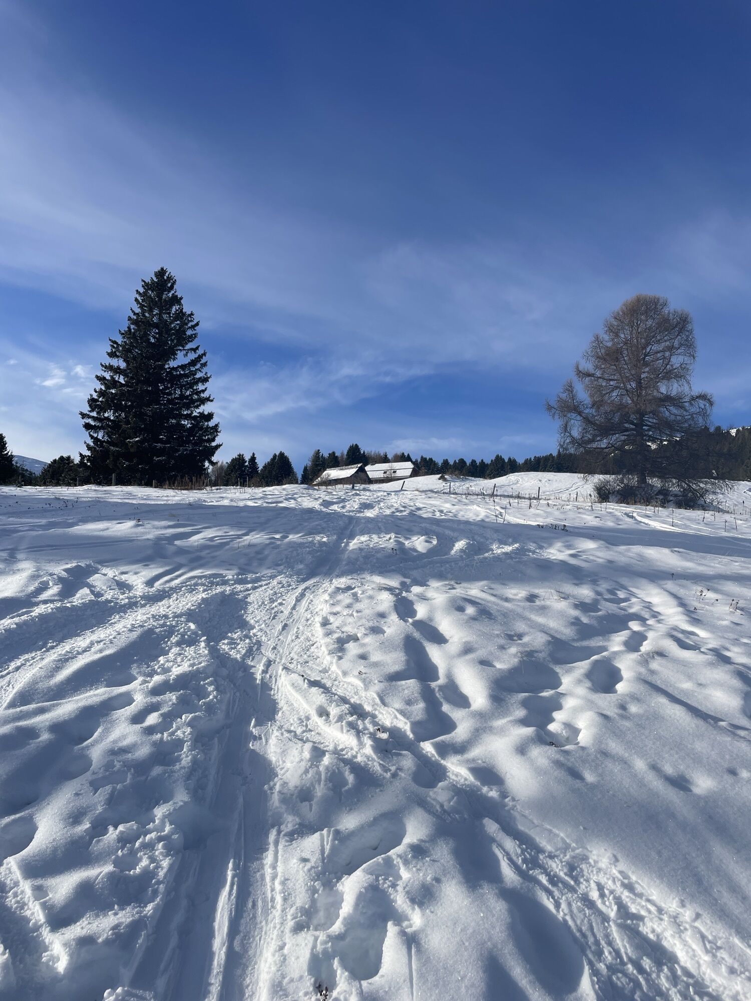
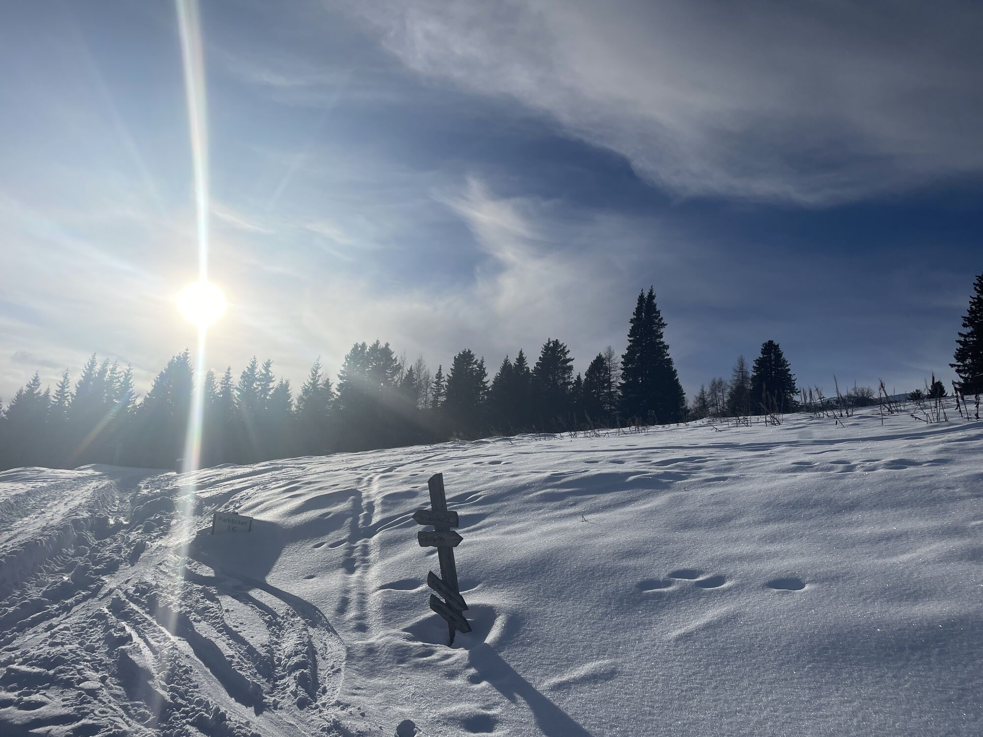
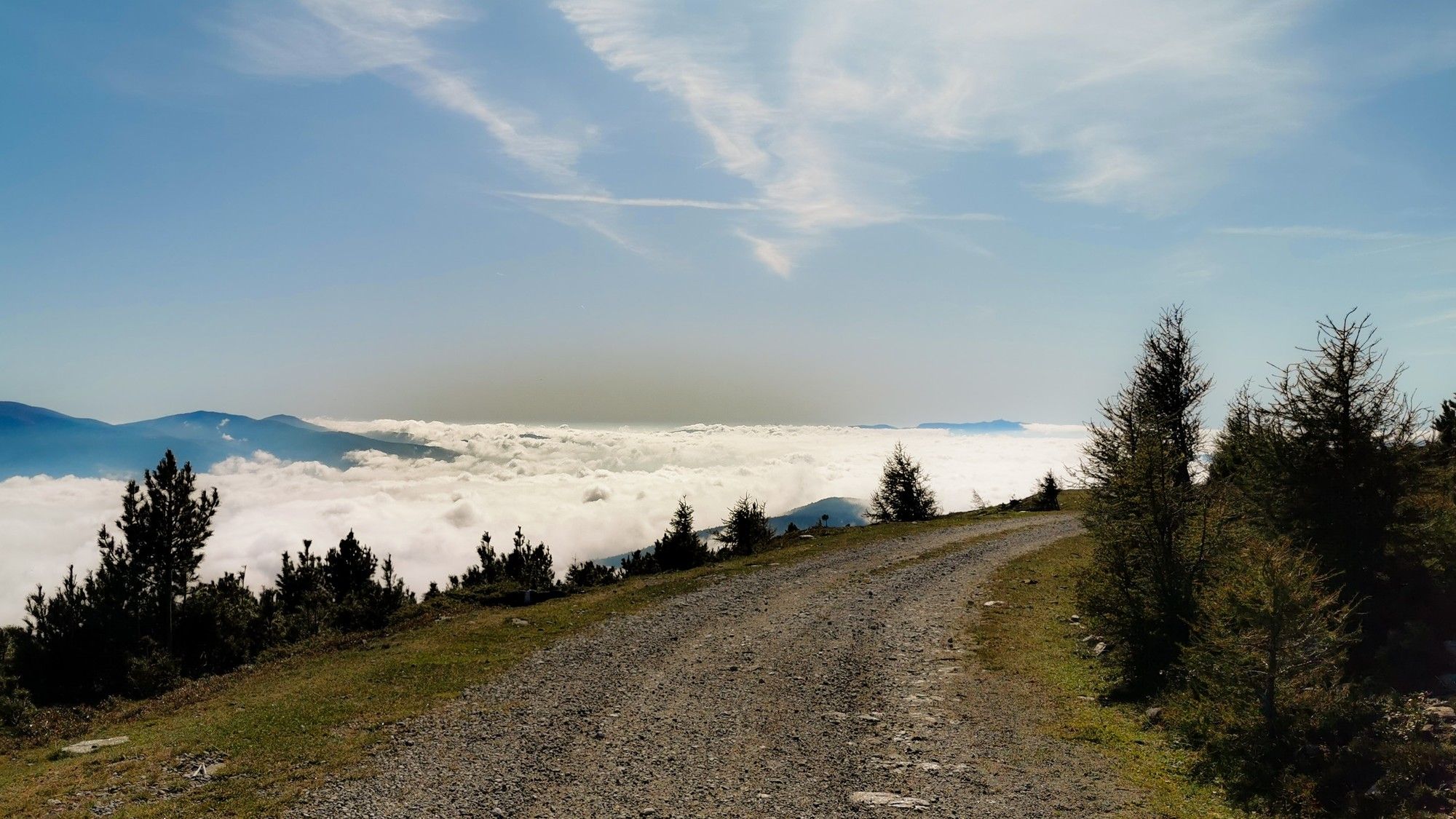
Vom Parkplatz des Almidyll Sabathy (Sabathyhütte) geht's Richtung Lindnerhütte (nicht bewirtschaftet) und weiter zur Rothaidehütte. Der Weg ist bis auf ein etwas steileres Teilstück mäßig steigend, weite...
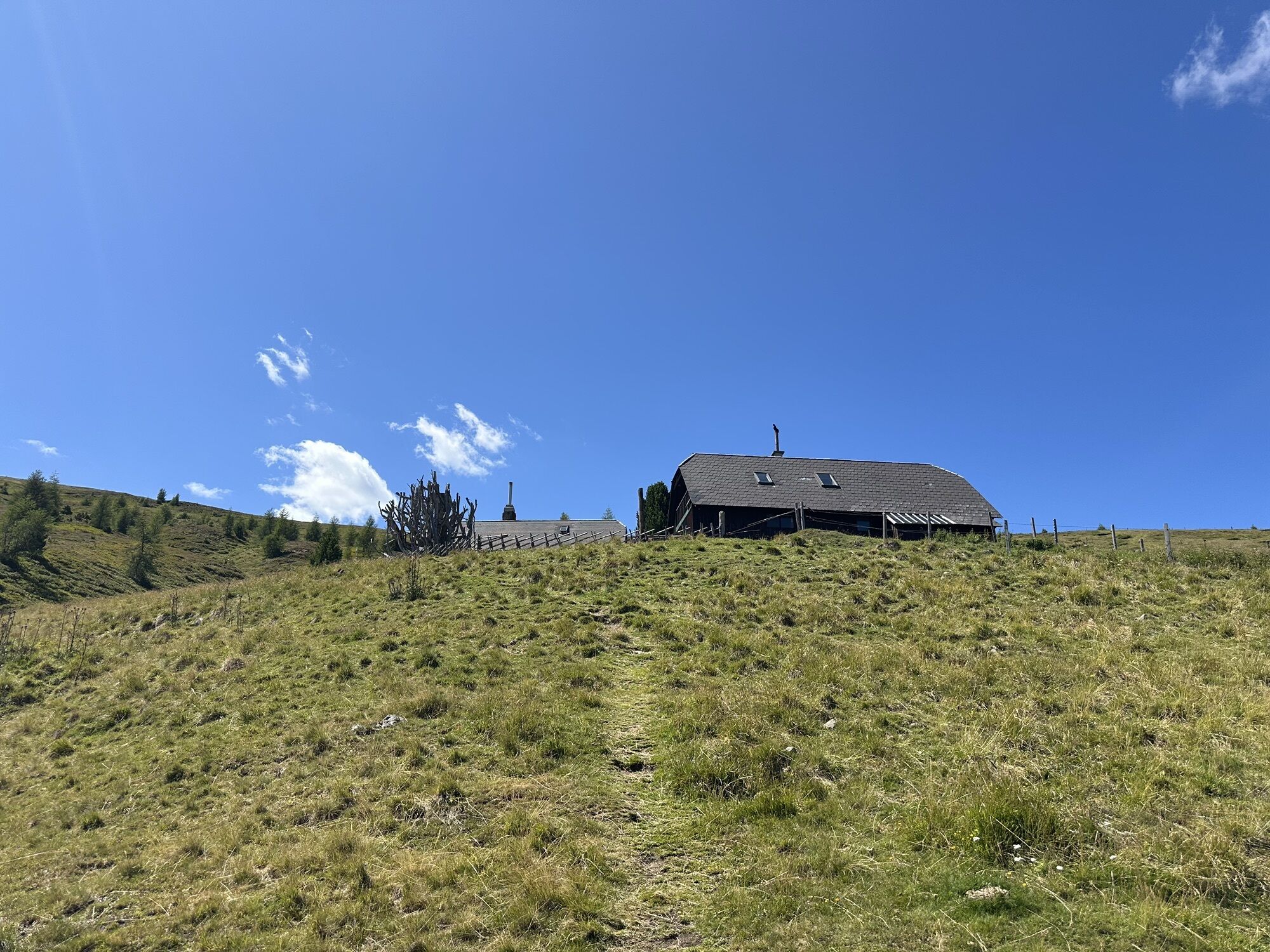
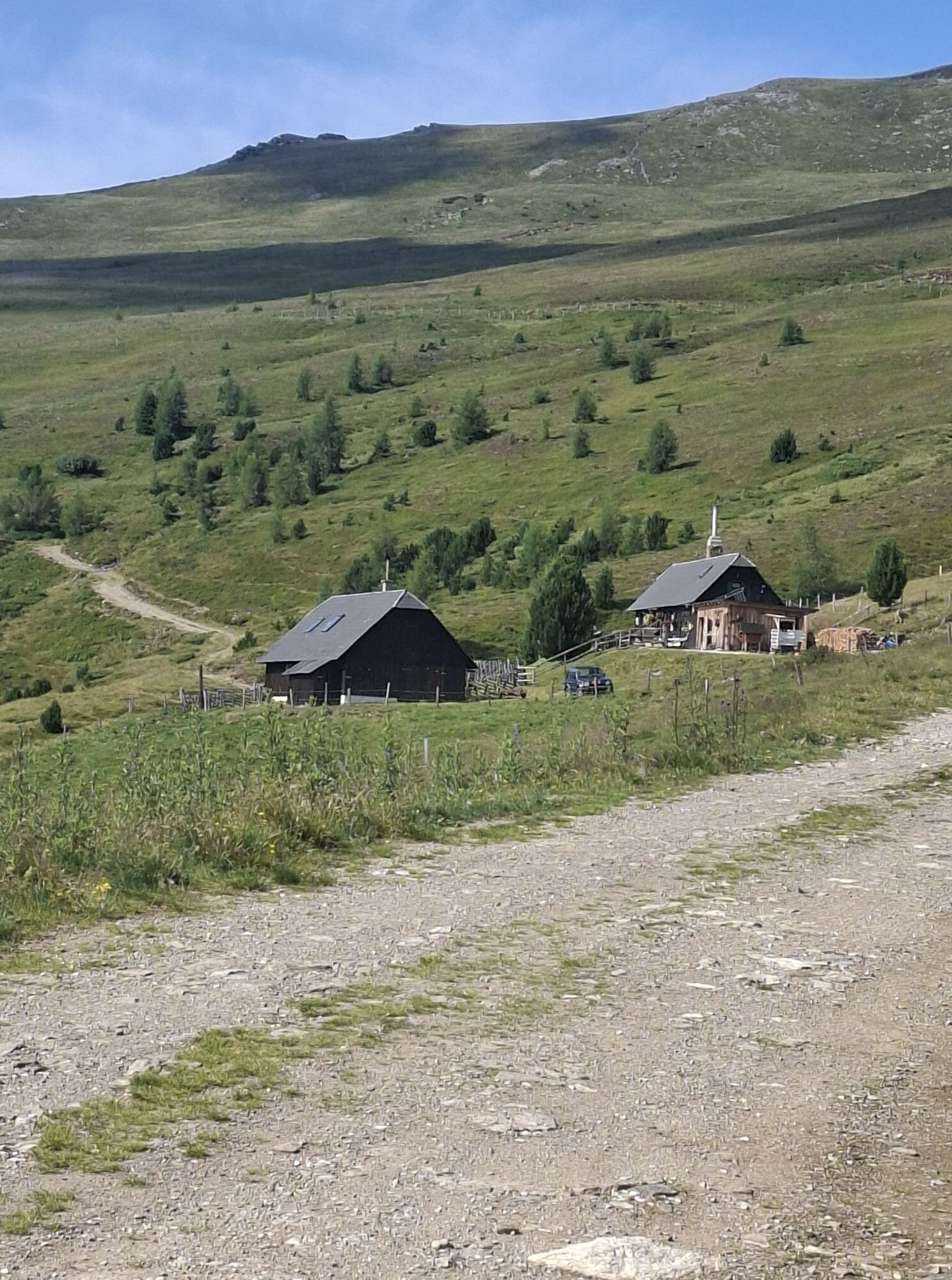
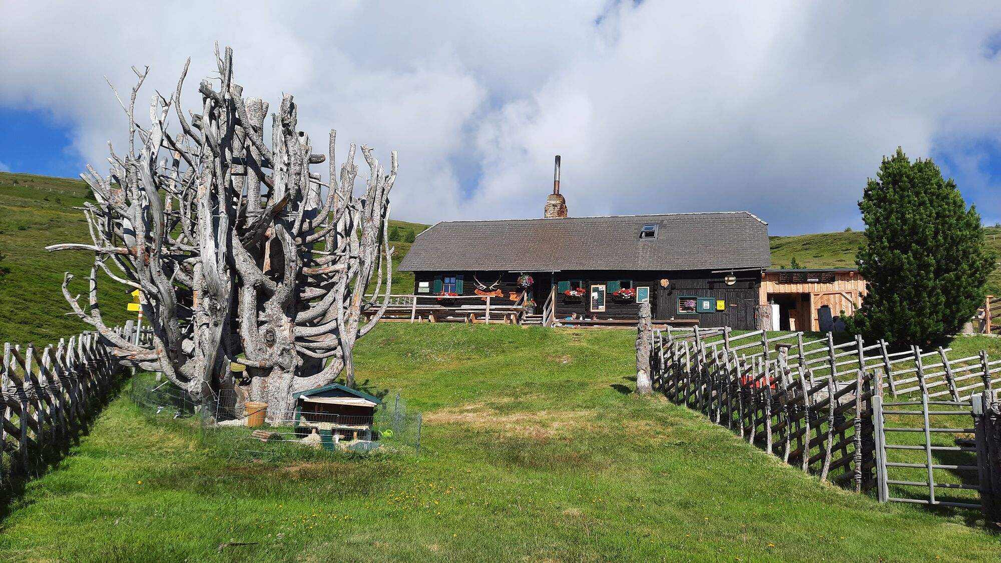
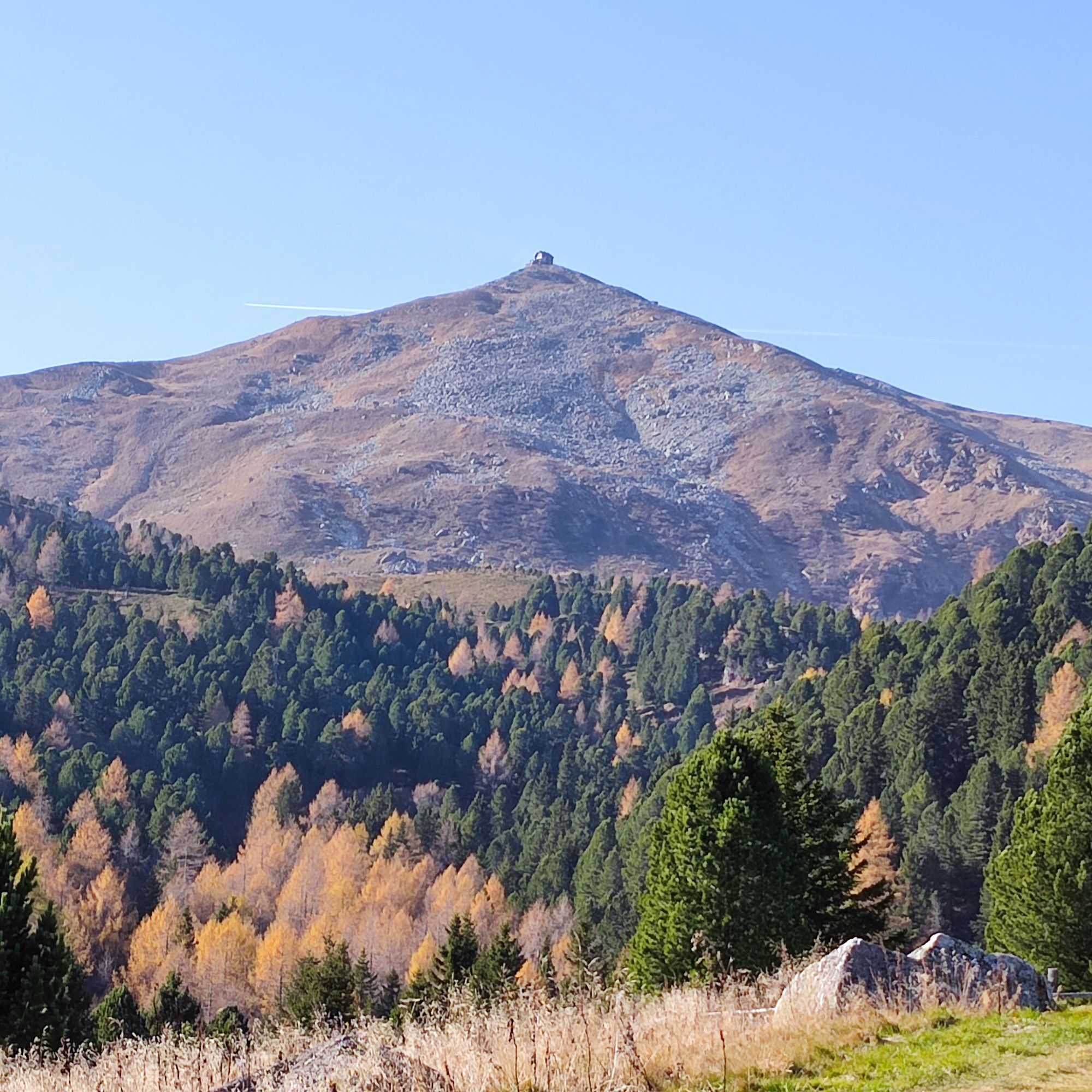
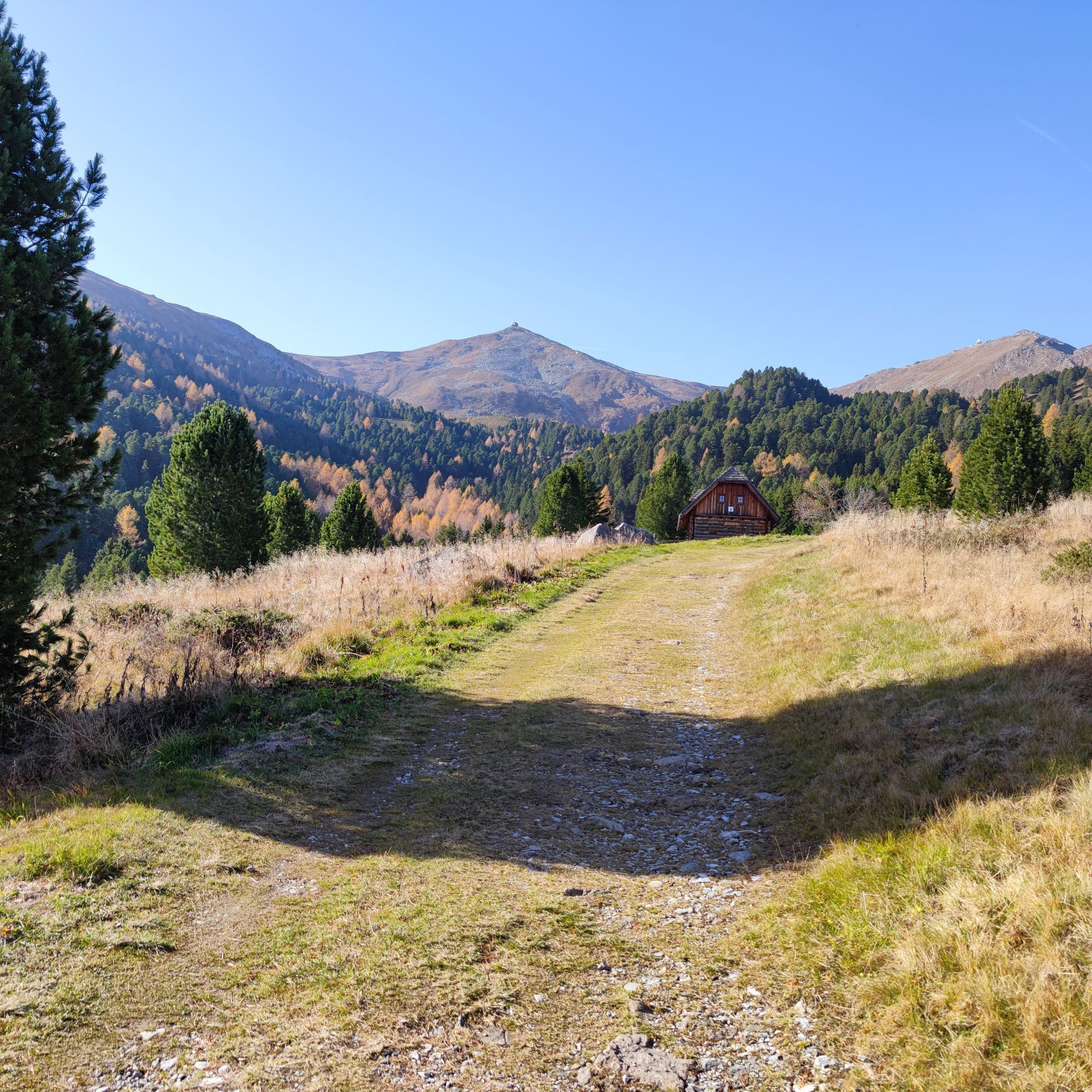
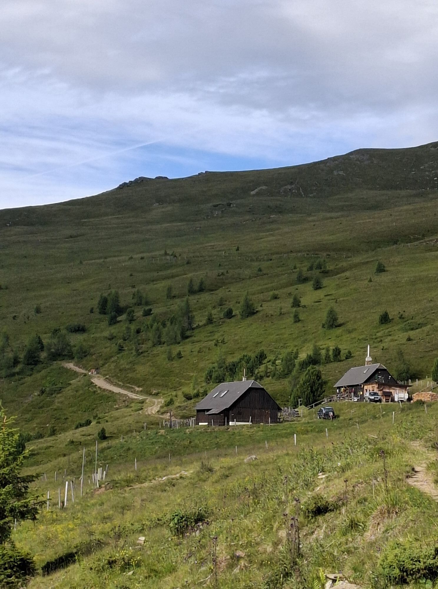
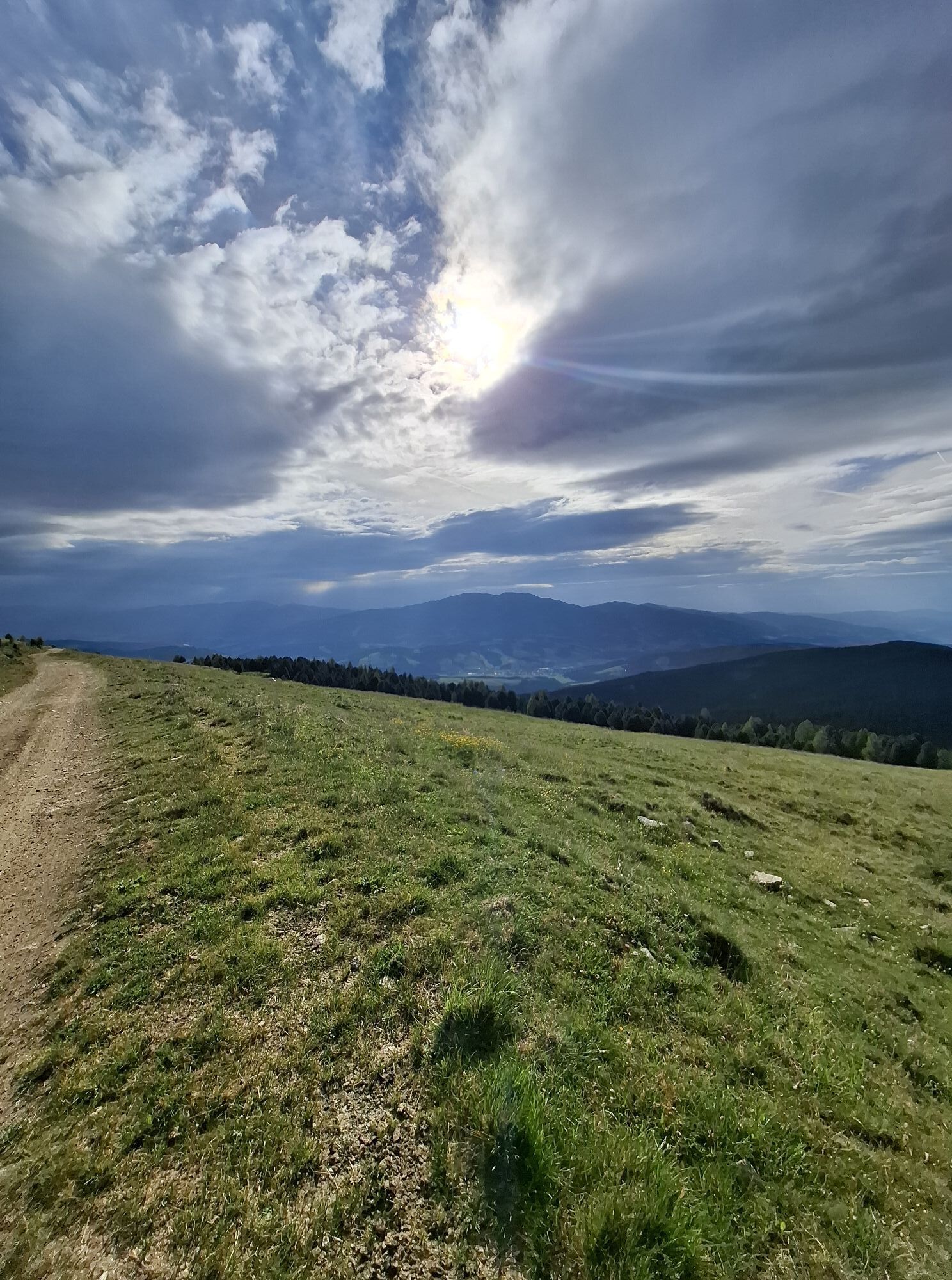
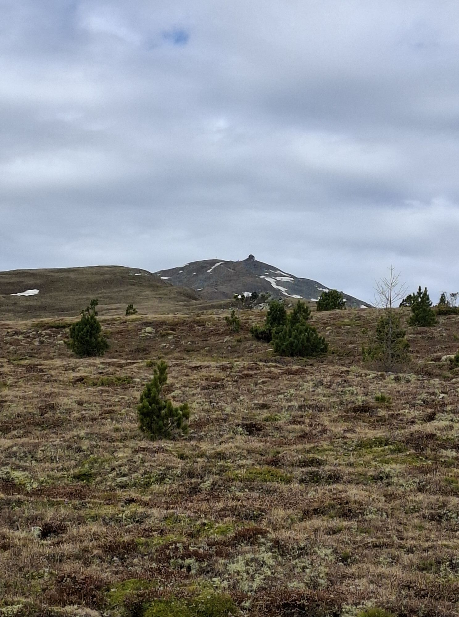
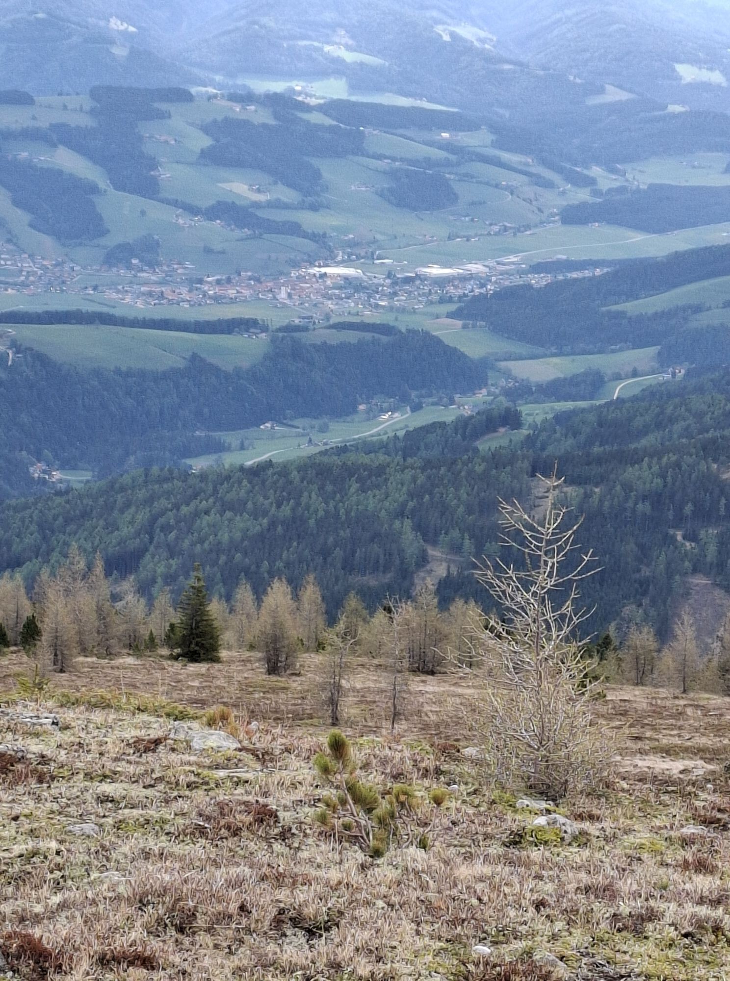
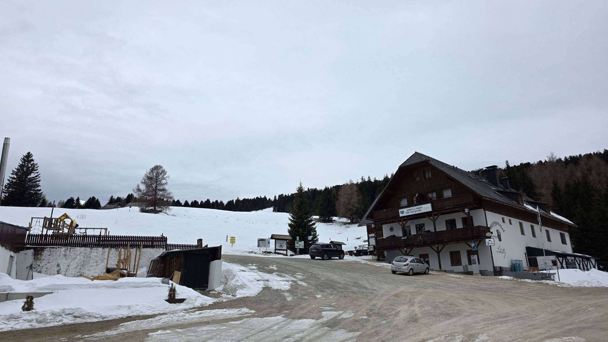
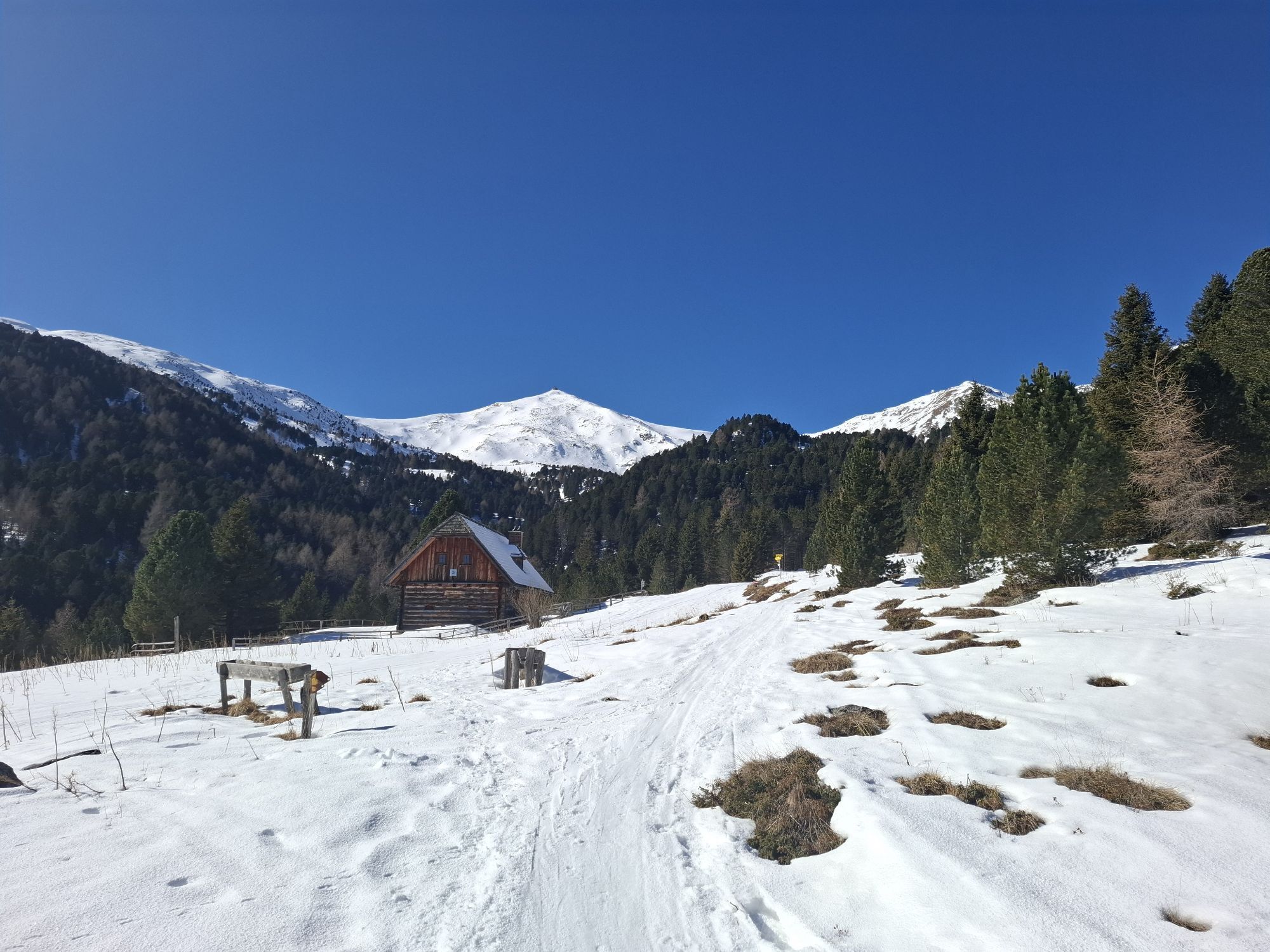
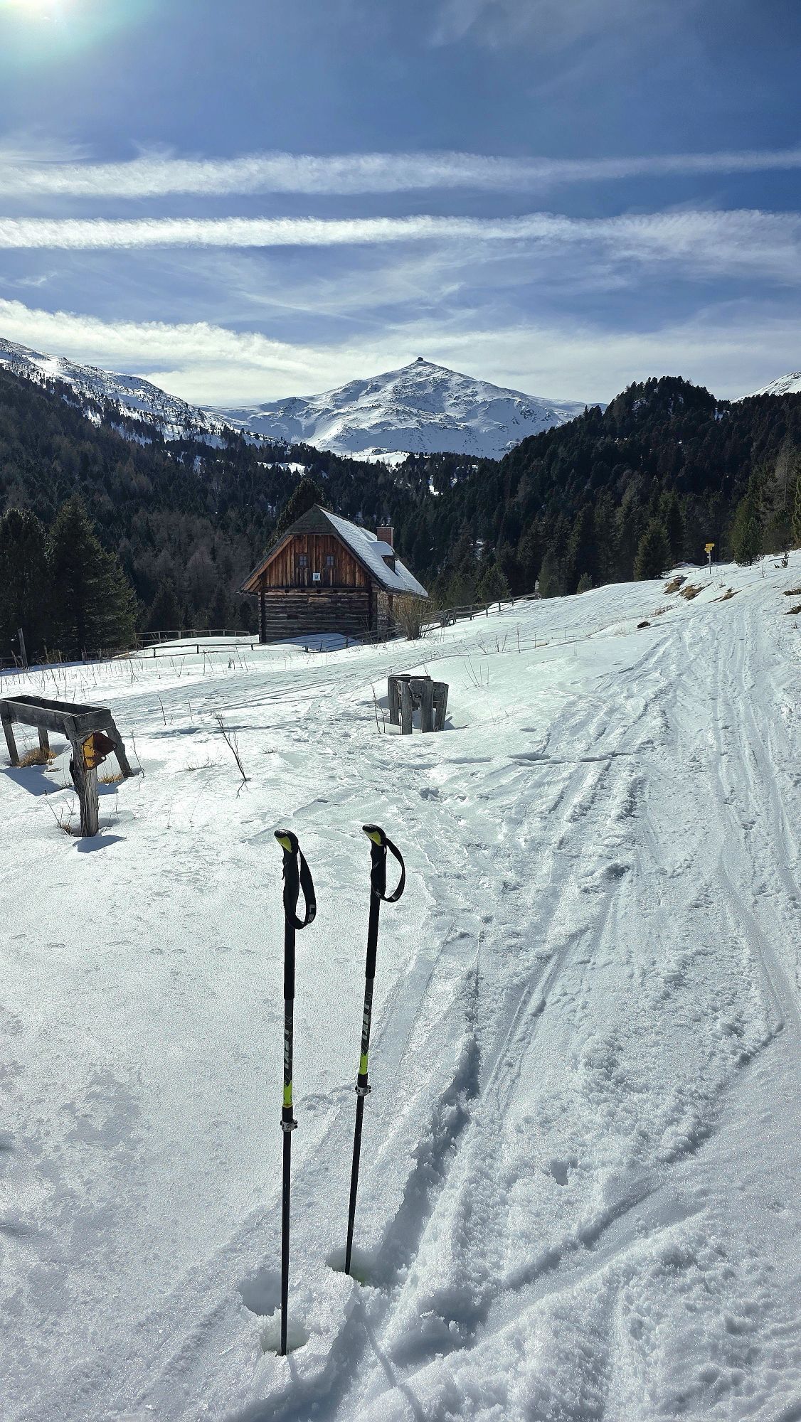
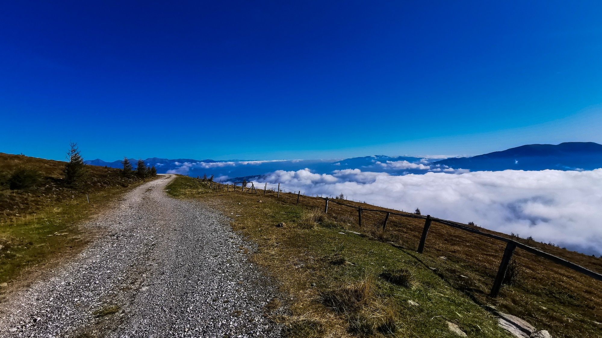
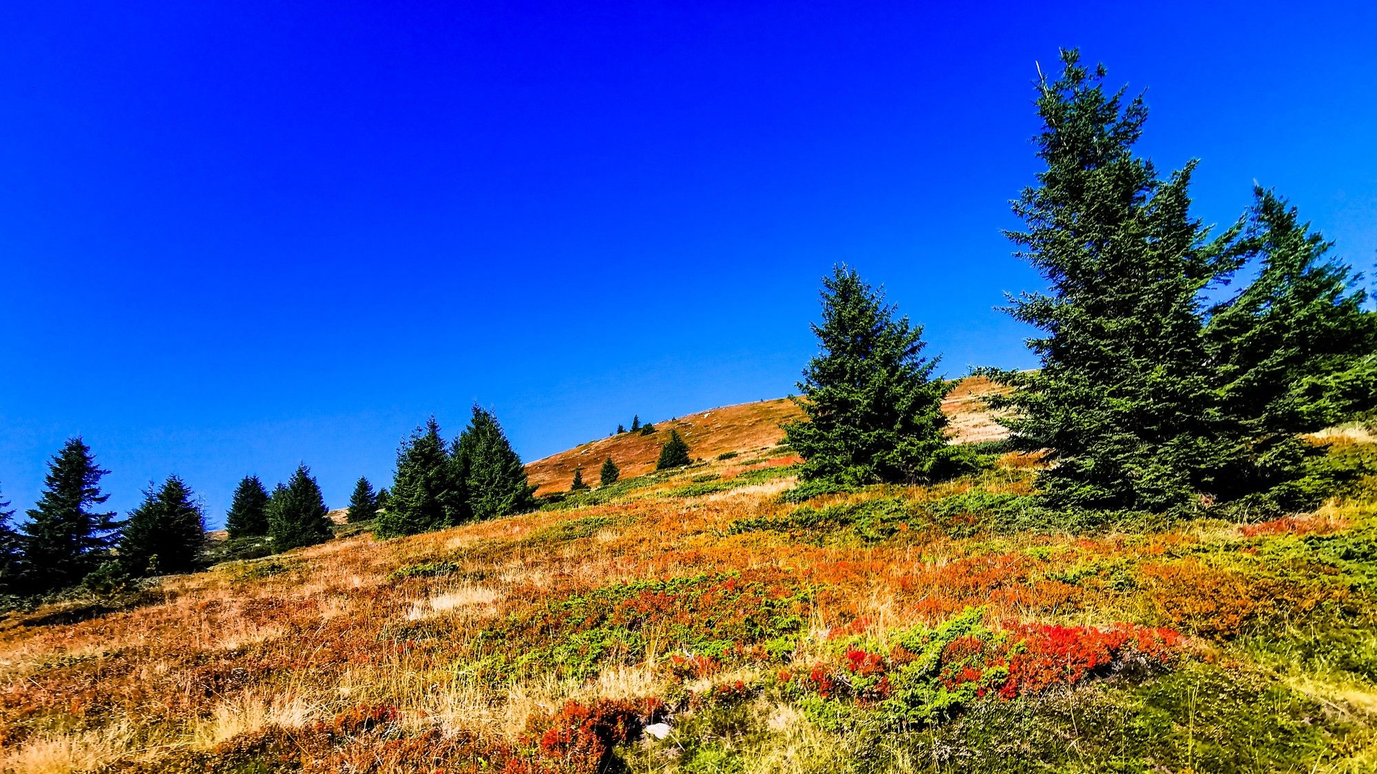
Vom Parkplatz des Almidyll Sabathy (Sabathyhütte) geht's Richtung Lindnerhütte (nicht bewirtschaftet) und weiter zur Rothaidehütte. Der Weg ist bis auf ein etwas steileres Teilstück mäßig steigend, weite Teile sogar fast eben. Beim letzten Abschnitt zur Rothaidehütte geht's etwas bergab.
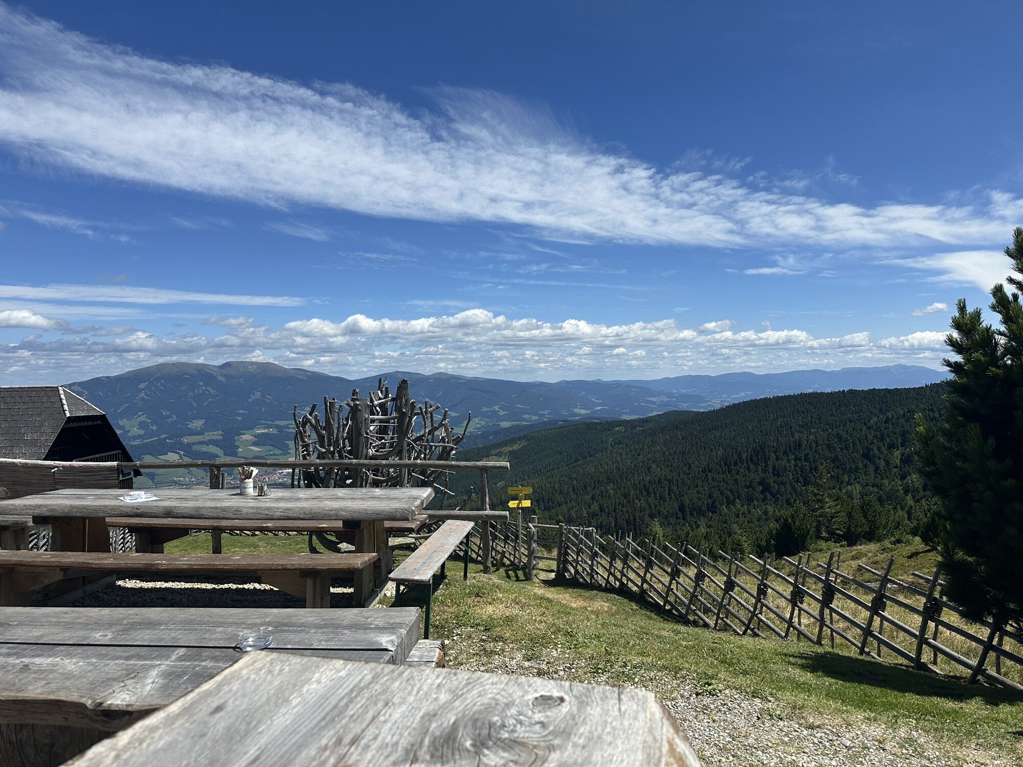
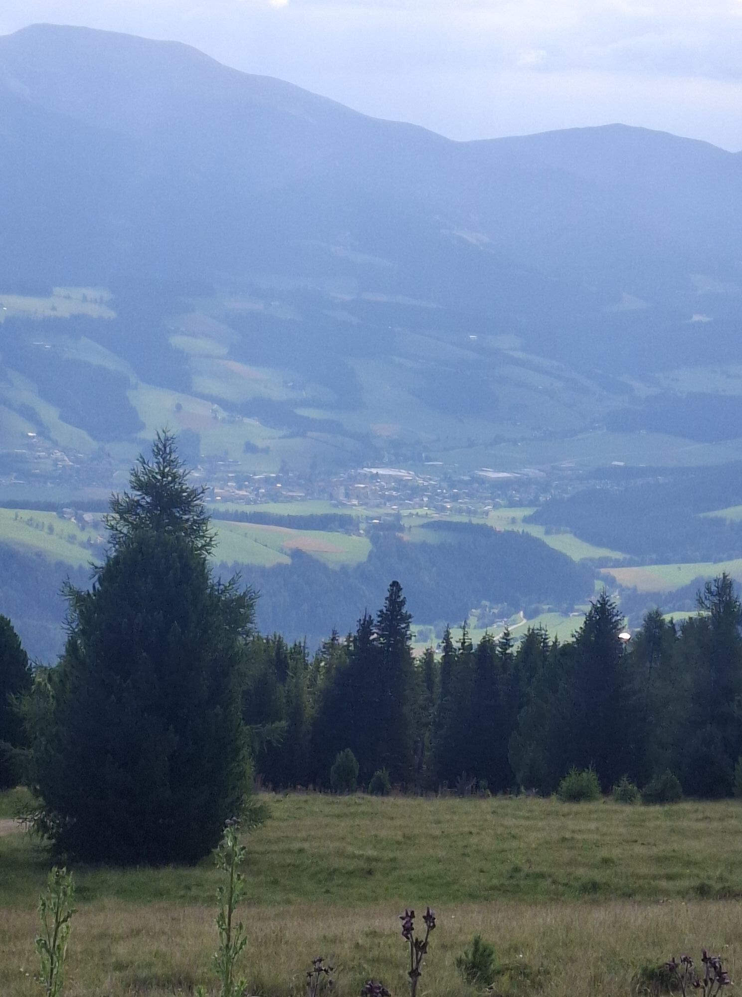
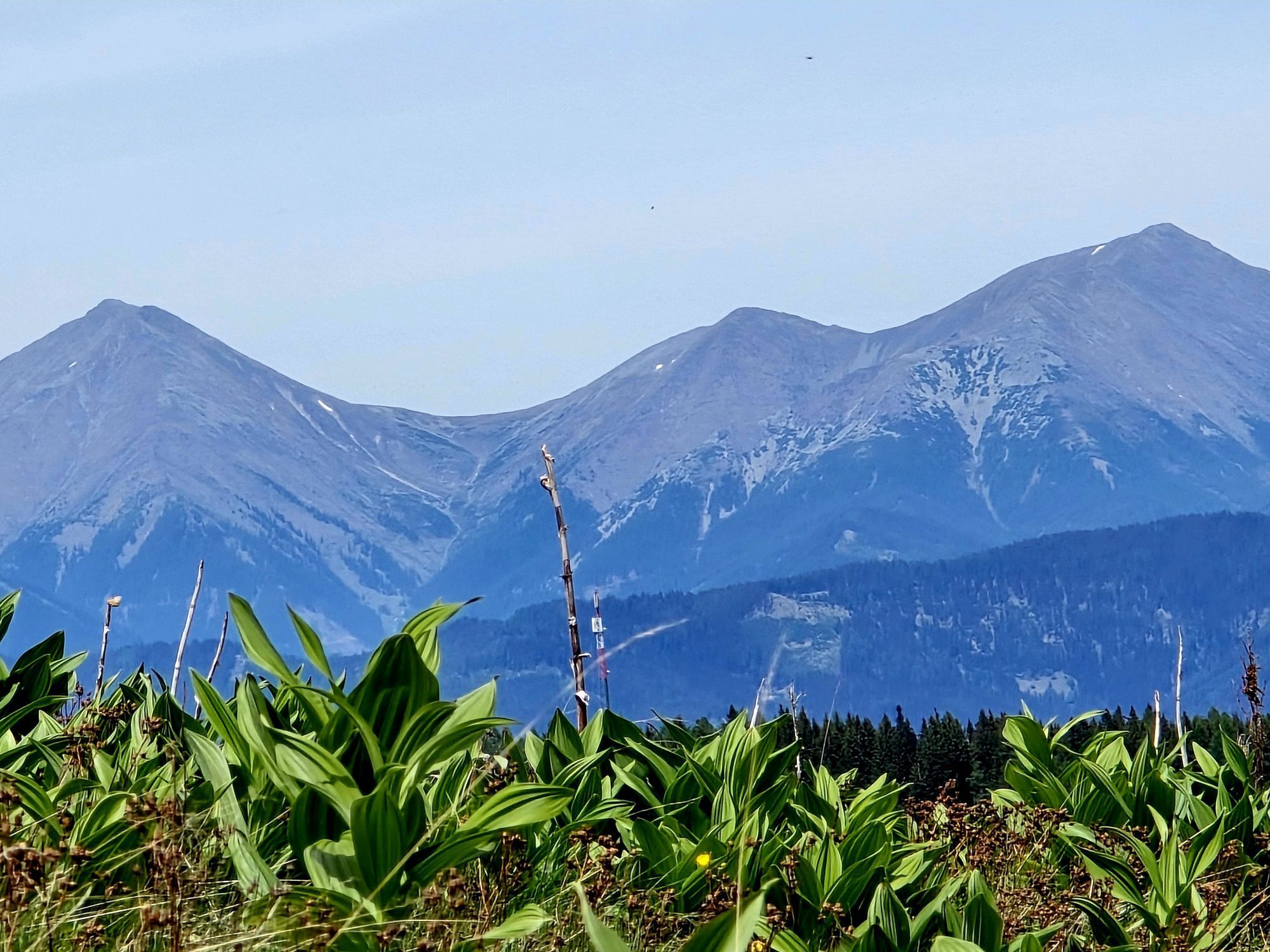
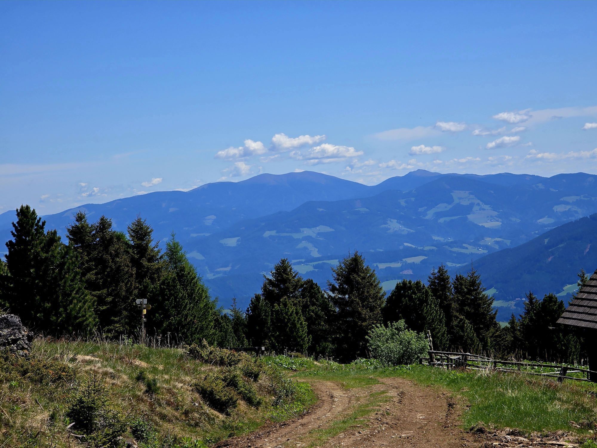
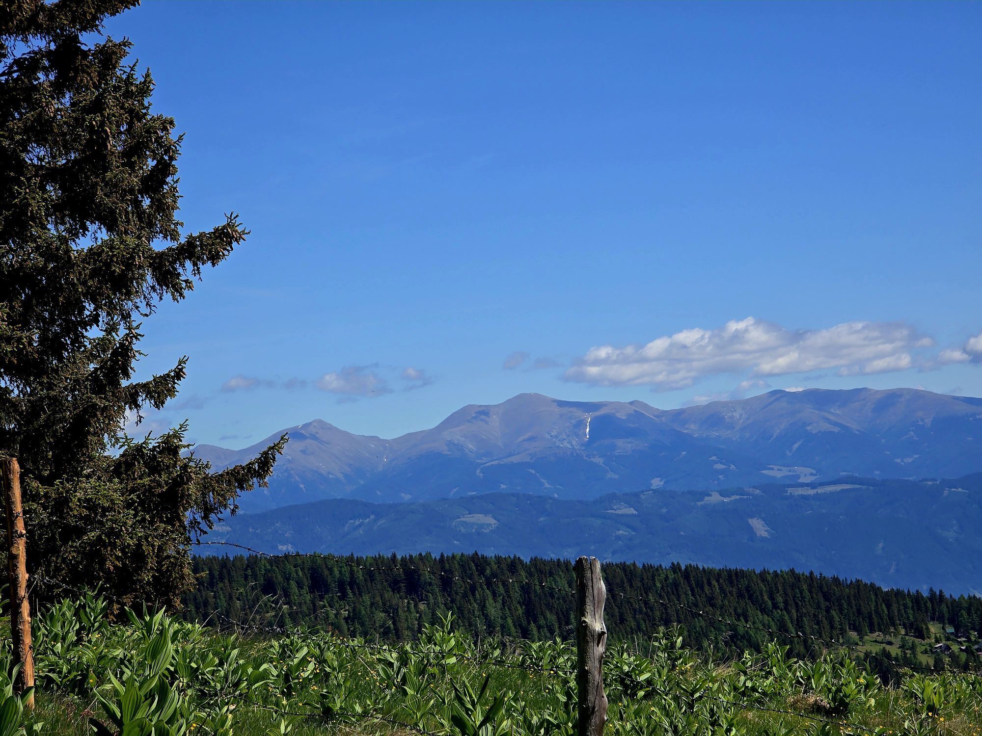
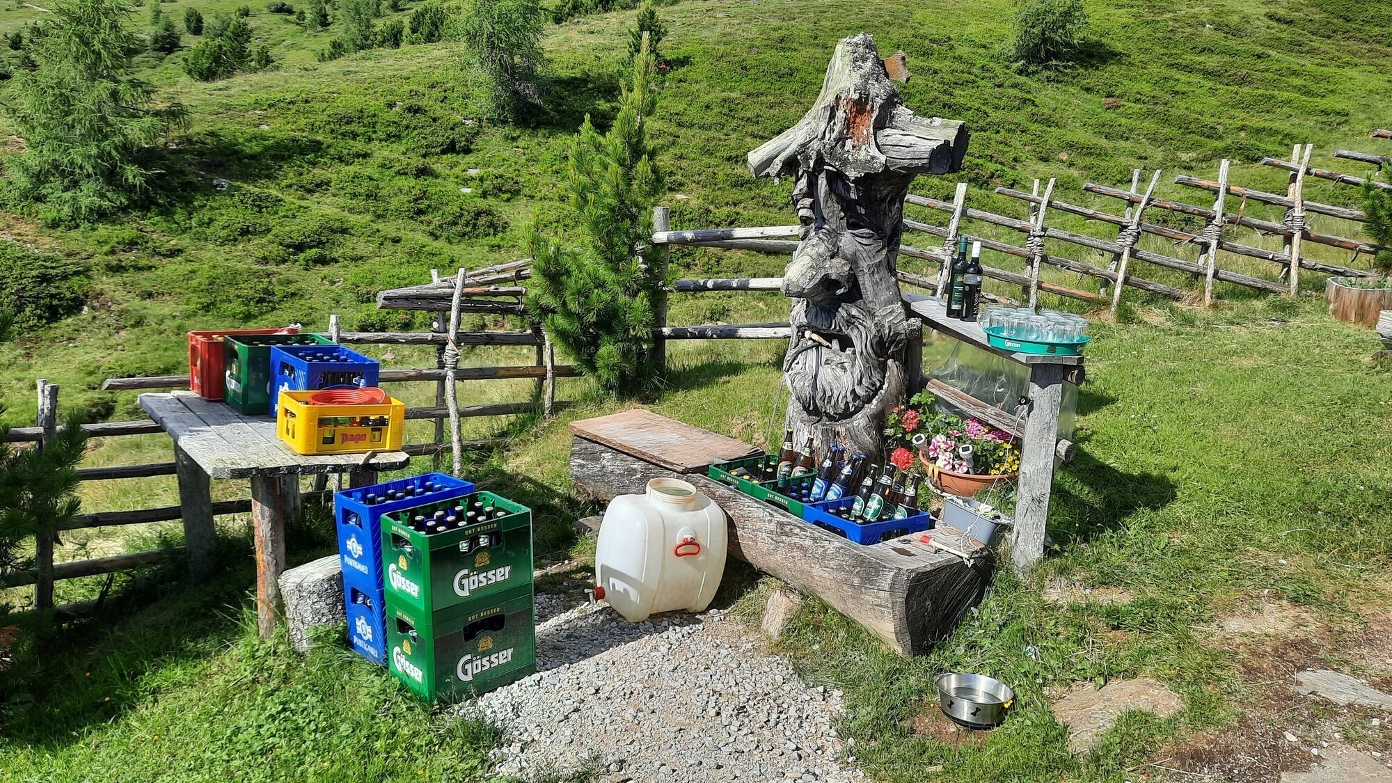
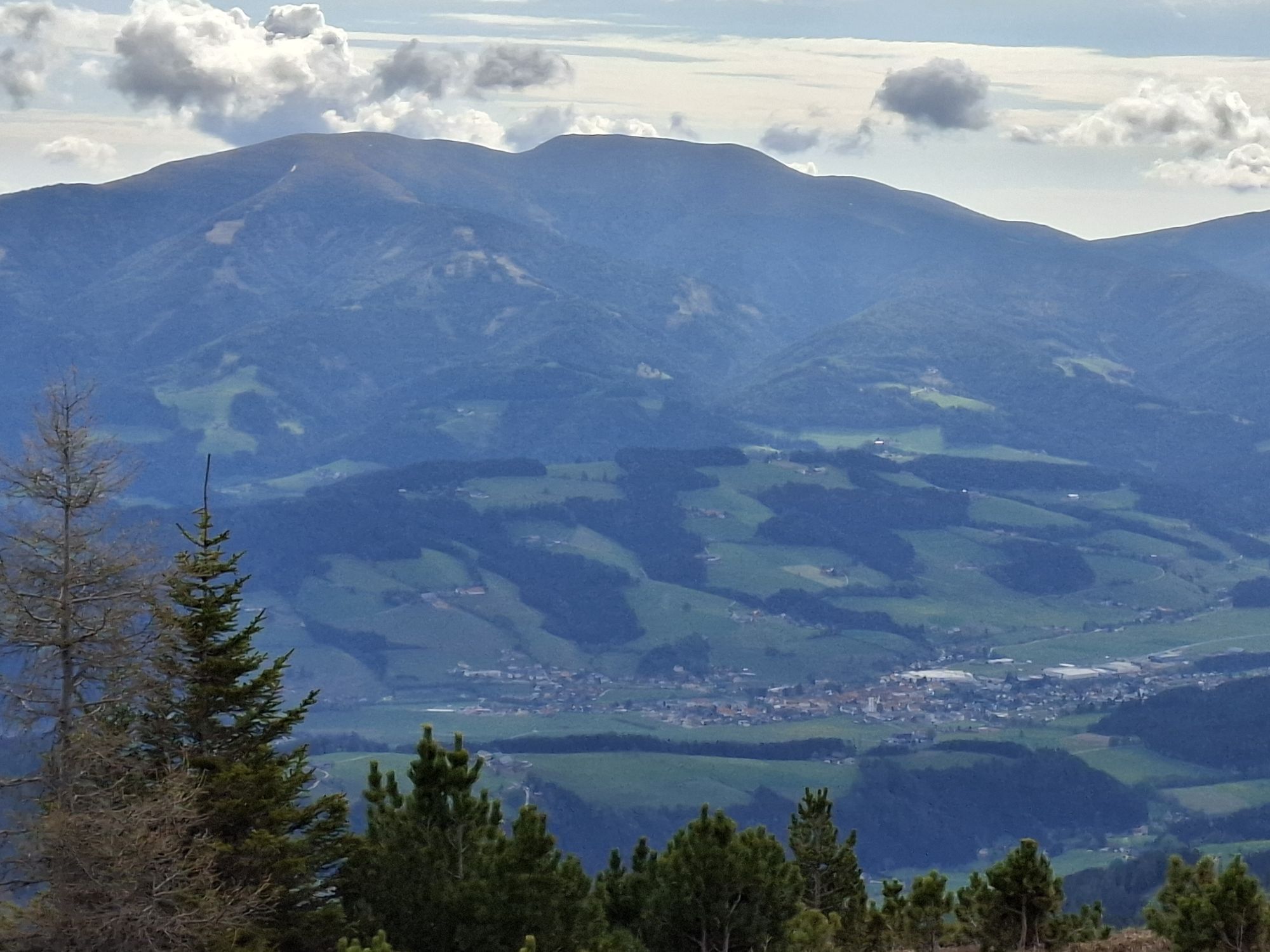
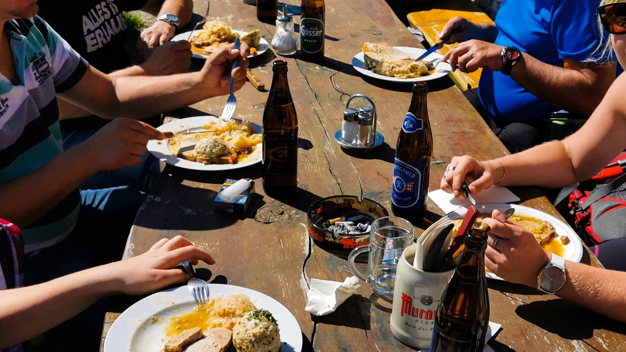
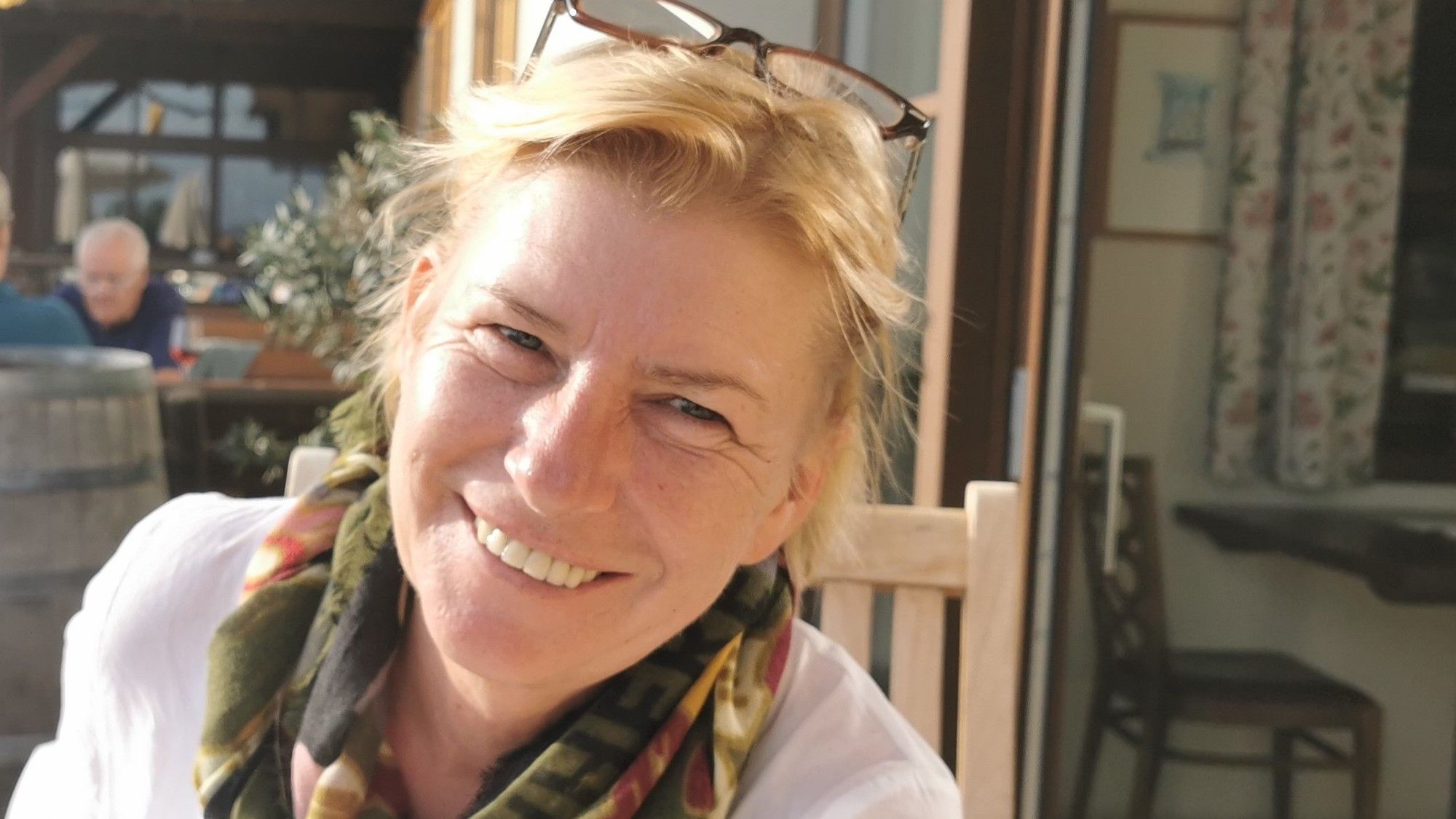
Belohnt wird man mit einer herrlichen Aussicht und guatn Schmankerln für's leibliche Wohl bei der Rothaidehüttnwirtin - da Ingrid.
Die Rothaidehütte hat täglich geöffnet von Ende Mai bis Anfang Oktober.
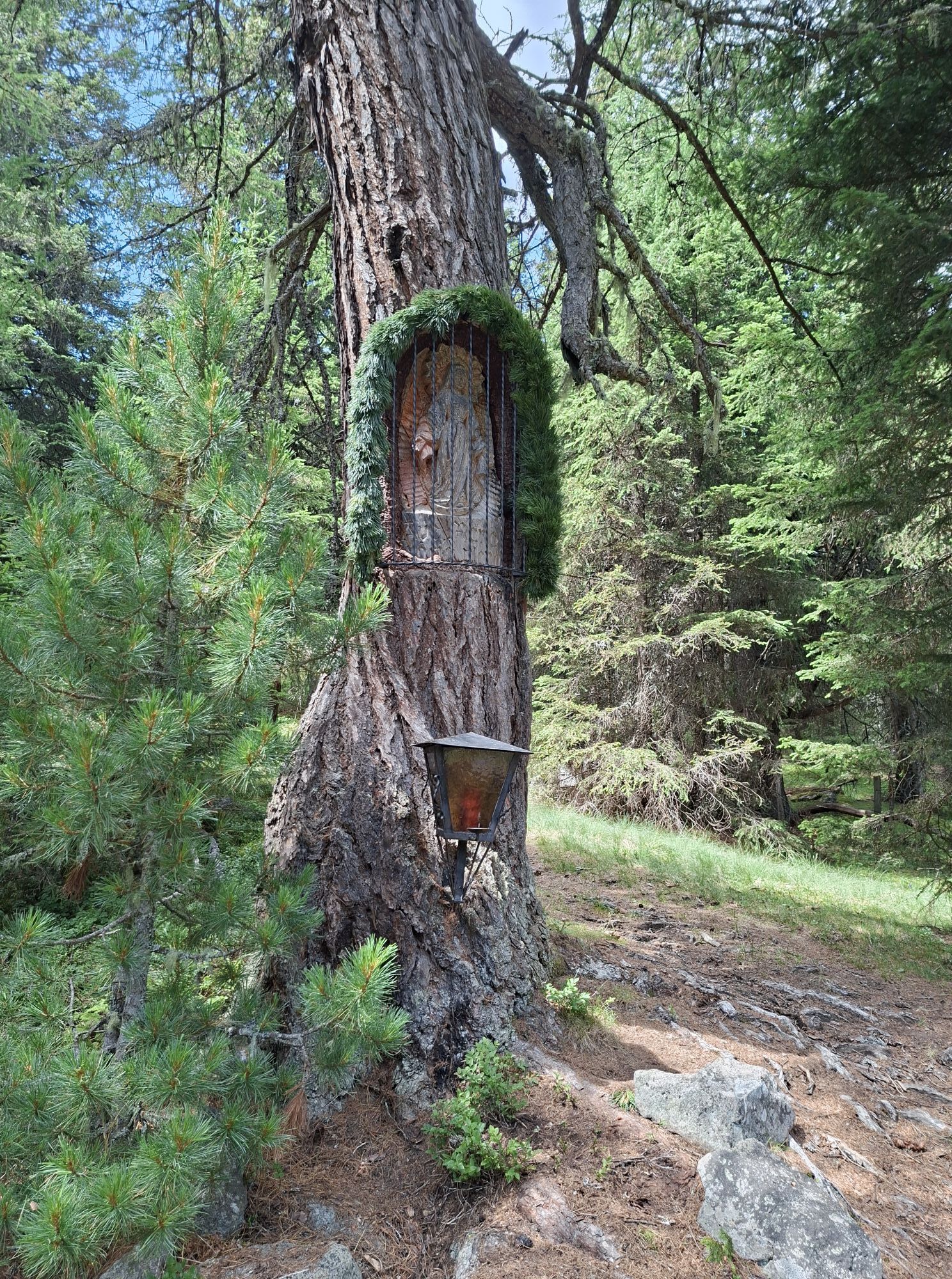
Zurück kann man denselben Weg gehen oder über Maria in der Lärche. Bei letzterer Variante ist das letzte Stück zum Almidyll Sabathy (Sabathyhütte) die Asphaltstraße (ca 1km).
"Also, pockts zaum in Rucksock, tats eich die Bergschuach auziagn und nix wia auffi auf die Oim!"
Zirbitzkogel Wildsee Rothaidehütte
www.bergfex.at/sommer/steiermark/tour...
Zirbitzkogel Wildsee Rothaidehütte
www.bergfex.at/sommer/steiermark/tour...
Zirbitzkogel Runde von Almidyll Sabathy (Sabathyhütte) über Schlaferkogel und Rothaidehütte
www.bergfex.at/sommer/steiermark/tour...
Große 4-Seenrunde am Zirbitzkogel
www.bergfex.at/sommer/steiermark/tour...







Weiter zu Köhlerhütte, Waldheimhütte, Zirbitzkogel
Almidyll Sabathy (Sabathyhütte)
Rothaidehütte
Oui
Oui
Oui
Von Judenburg nach Obdach oder von Kärnten/Südsteiermark über Bad St- Leonhard nach Obdach.
In Obdach Abzweigung zum Almidyll Sabathy (Sabathyhütte)
Parkplatz beim Almidyll Sabathy (Sabathyhütte) oder ca. 1 km zuvor wenn man über Maria in der Lärche gehen will



Activités le long du parcours
-

Obdach, Steiermark/Österreich
12.07.2026 – Randonnée -

Rothaidenhütte - Sabathyhütte 🥾 mit Franz
12.07.2026 – Randonnée en montagne -

Obdach, Steiermark/Österreich
01.11.2025 – Randonnée -

Obdach, Steiermark/Österreich
21.09.2025 – Randonnée -

Sabathy-Rothaidenhütte, Steiermark/Österreich
12.07.2025 – Randonnée -

Obdach, Steiermark/Österreich
27.07.2024 – Randonnée
Parcours populaires à proximité
-
4,6
Zirbitzkogel-Runde über Lindersee
moyenRandonnée 10,5 km -
5,0
Rothaidehütte Runde Zirbitzkogel
moyenRandonnée 6,17 km -
5,0
Zirbitzkogel, 2396m, von Winterleiten Hütte
moyenRandonnée 10,5 km -
4,8
Zirbitzkogel Wildsee Rothaidehütte
moyenRandonnée 15,4 km -
4,8
Zirbitzkogel Waldheimhütte - Wildsee - Fuchskogel - Zirbitzkogel, Steiermark/Österreich
moyenRandonnée 15,2 km -
4,7
Skitour Hohe Ranach
moyenSki de randonnée 3,04 km -
3,9
Vom Almidyll Sabathy (Sabathyhütte) auf den Zirbitzkogel
moyenRandonnée 7,70 km -
4,8
Von der Sabathy über die Winterleiten auf den Zirbitzkogel
moyenRandonnée 14,8 km -
4,6
Skitour Zirbitzkogel
moyenSki de randonnée 6,01 km -
4,0
Zirbitzkogeltour
moyenRandonnée 10,2 km
Randonnée et suivi


Ne manquez pas les offres et l'inspiration pour vos prochaines vacances
Votre adresse électronique a été ajouté à la liste de diffusion.





