


Zirbitzkogeltour

Vom Ortszentrum Mühlen aus per PKW oder Taxi auf der Zufahrtsstraße über Jakobsberg zur Tonner Hütte (Park- u. Einkehrmöglichkeit). Vom P Tonner Hütte, 1.605m nach O dem leicht steigenden Forstweg bis...
Vom Ortszentrum Mühlen aus per PKW oder Taxi auf der Zufahrtsstraße über Jakobsberg zur Tonner Hütte (Park- u. Einkehrmöglichkeit).
Vom P Tonner Hütte, 1.605m nach O dem leicht steigenden Forstweg bis zur 1. Kehre.
Unmittelbar von der Kehre zweigt der Fussweg nach rechts ab und wendet sich dem rechten Rand der Schipiste zu.
Dem Verlauf der Piste folgend mäßig steigend, an der Bergstation des Liftes vorbei, führt der Weg auf die Hohe Hald.
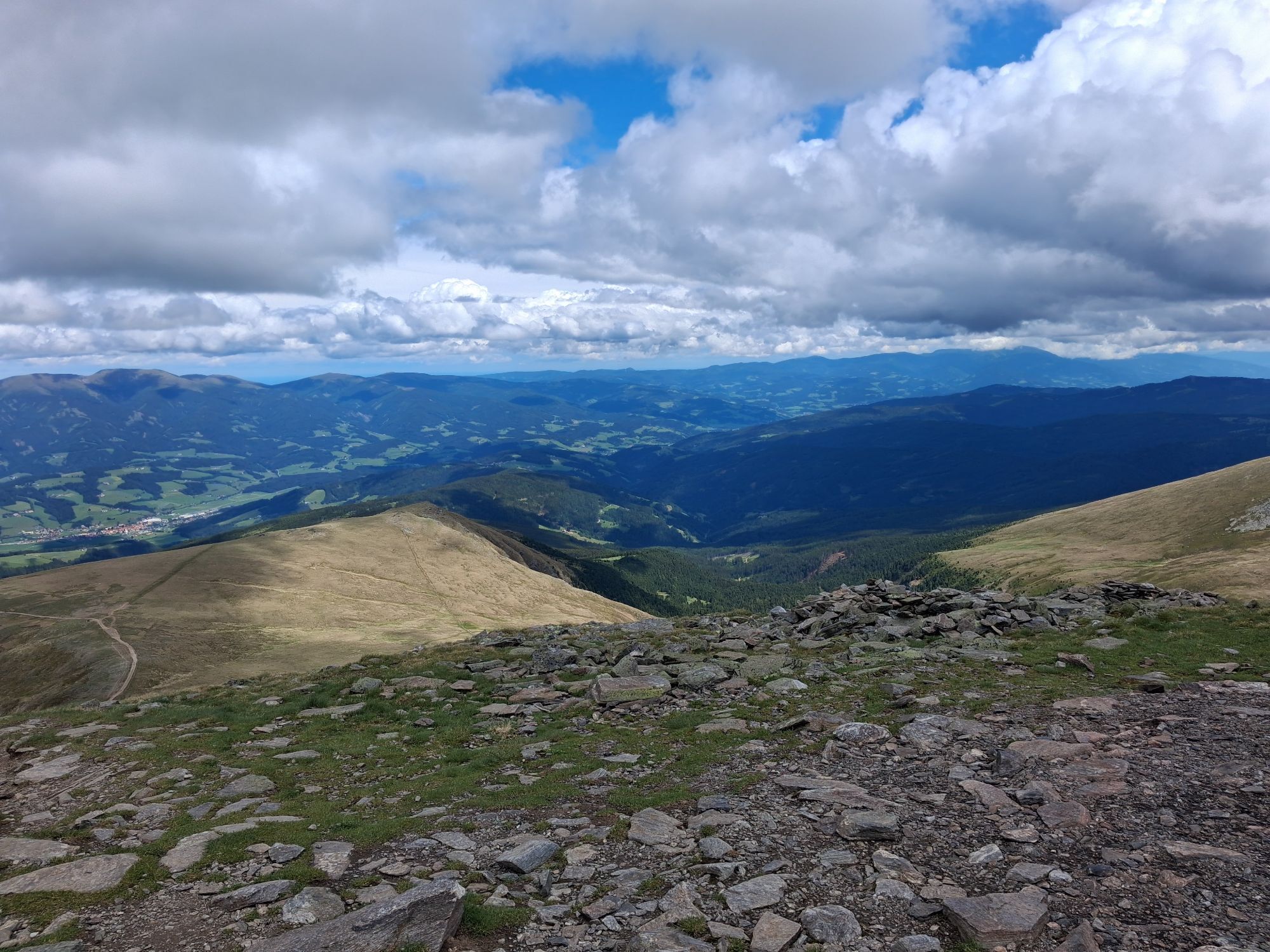
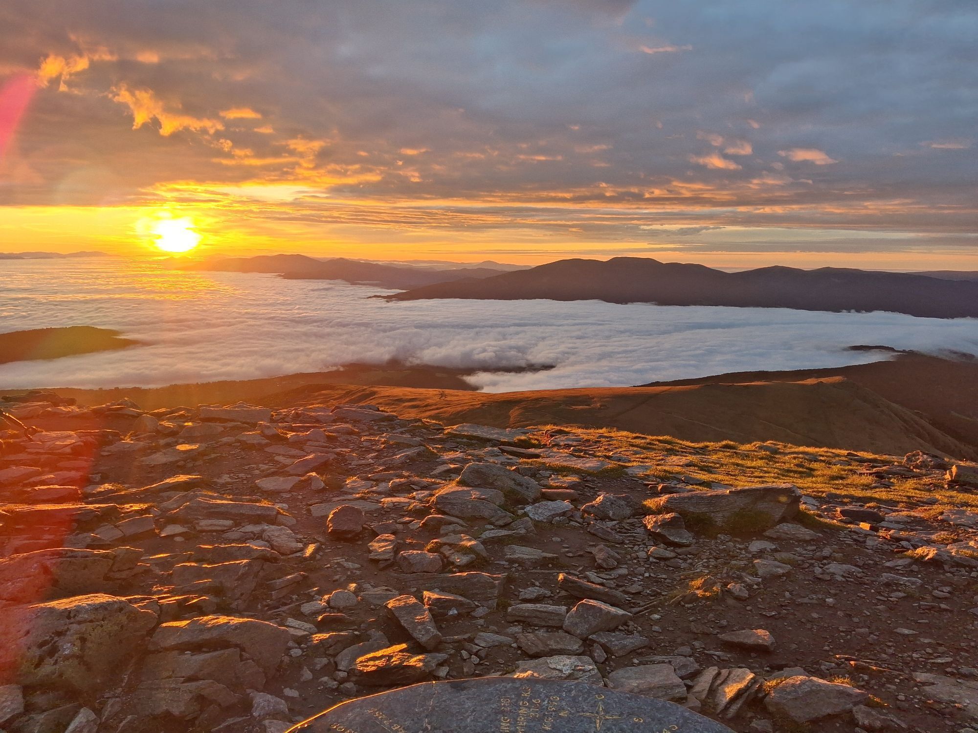
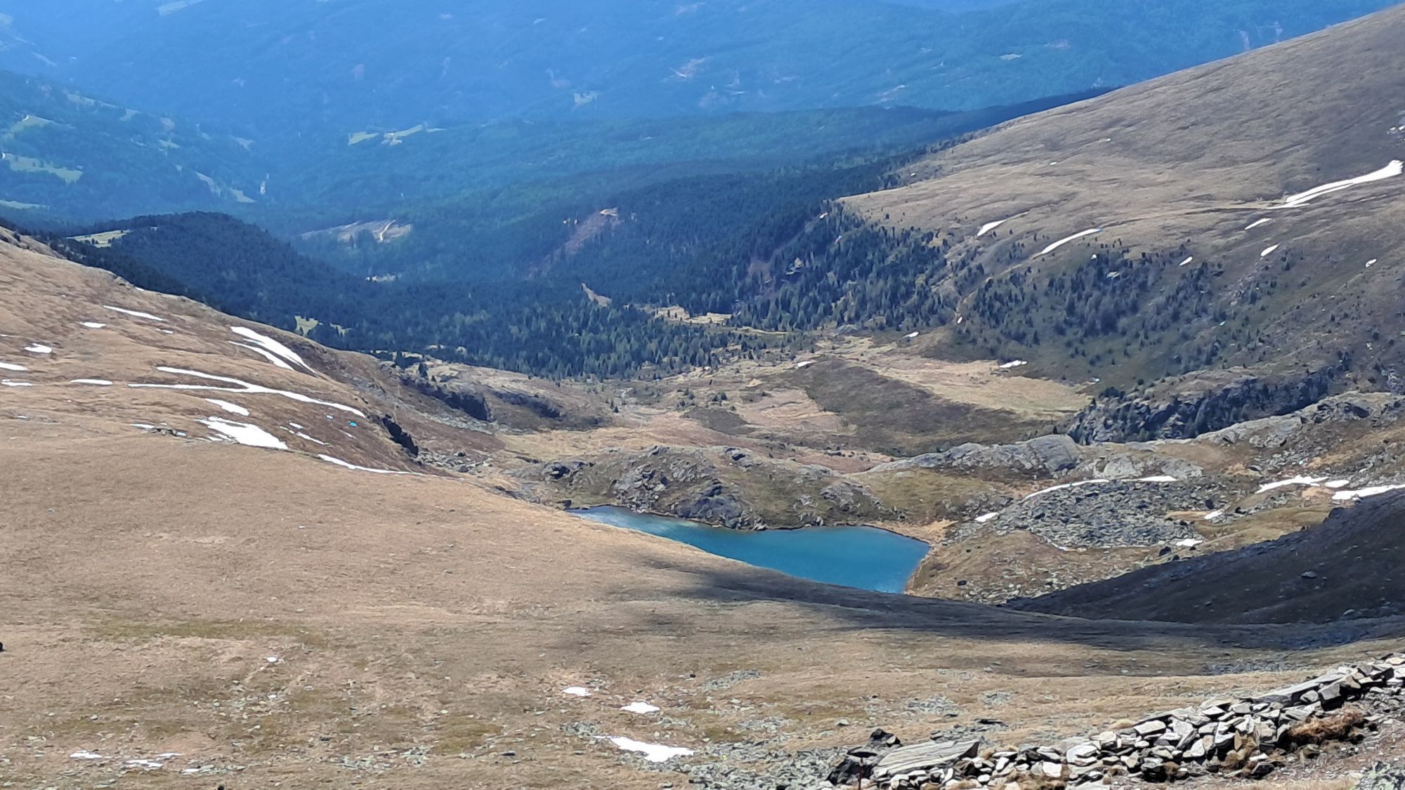
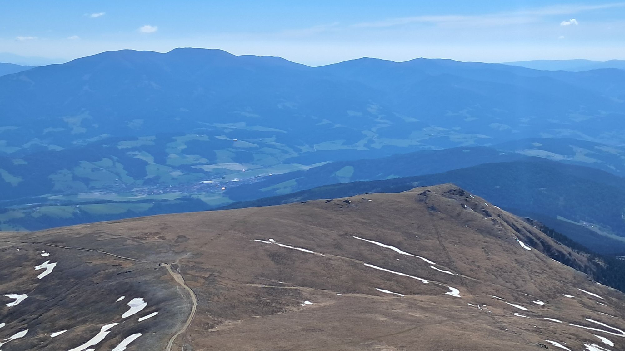
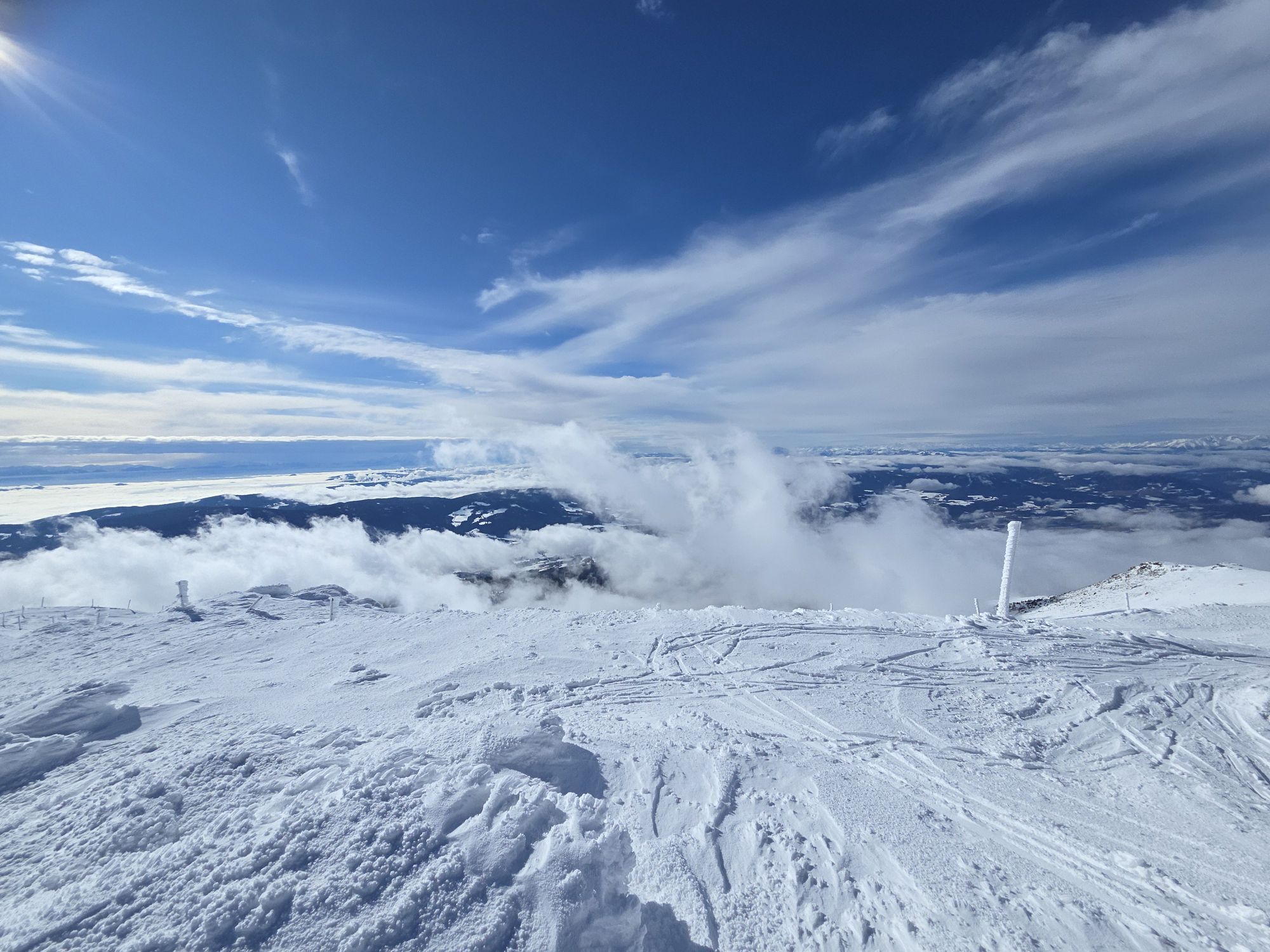
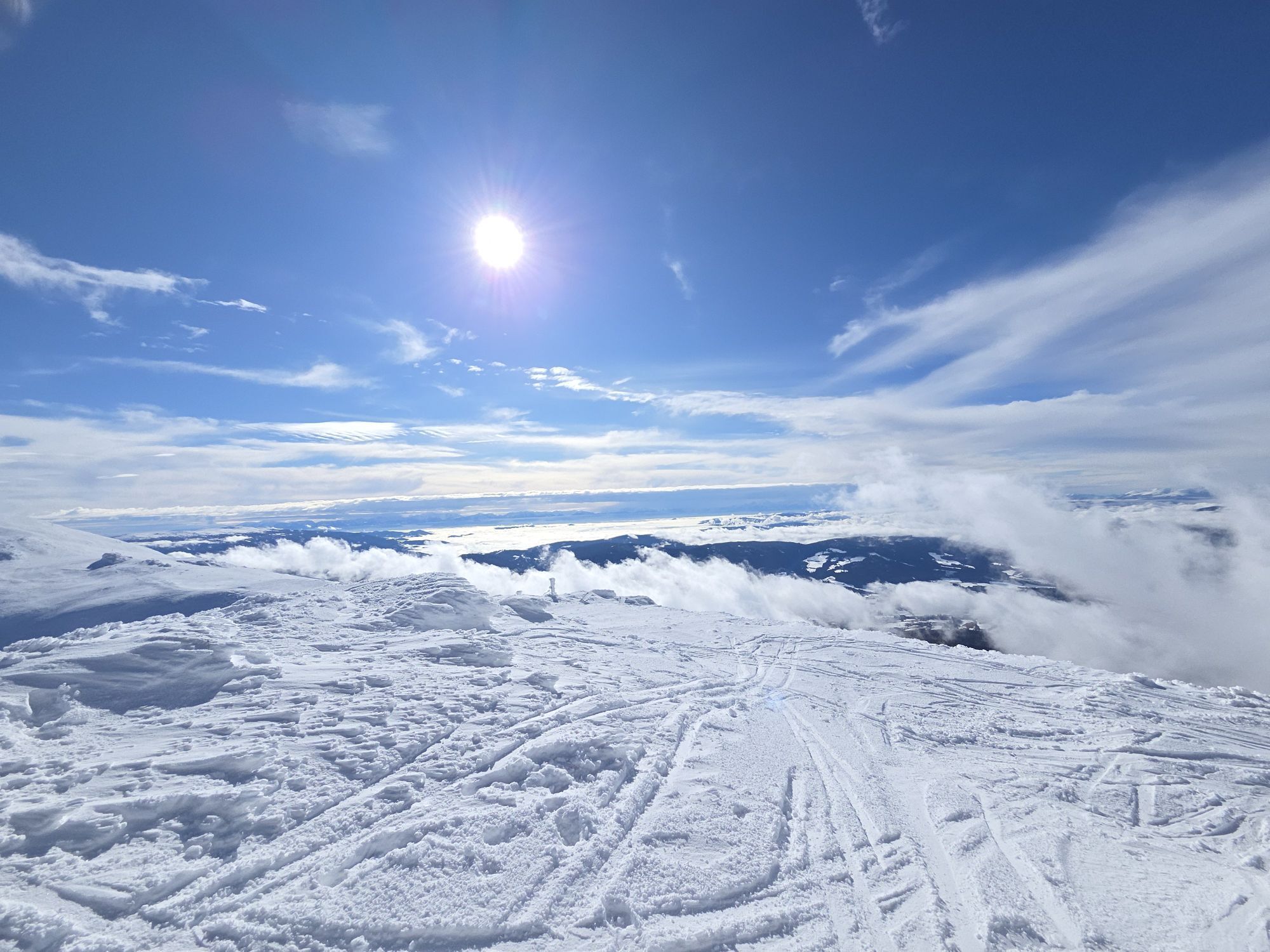
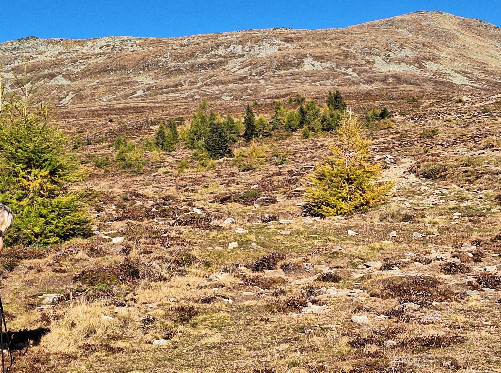
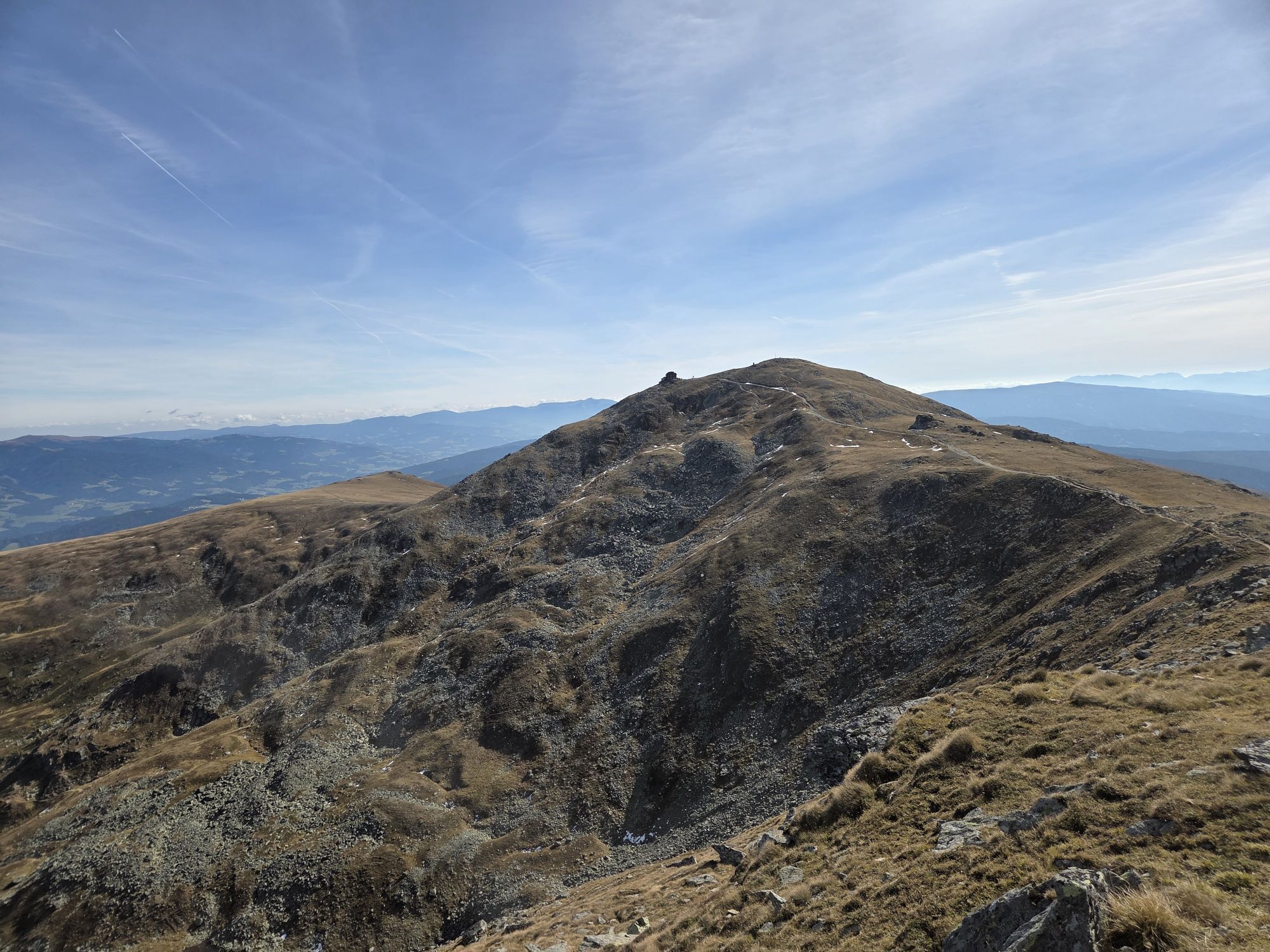
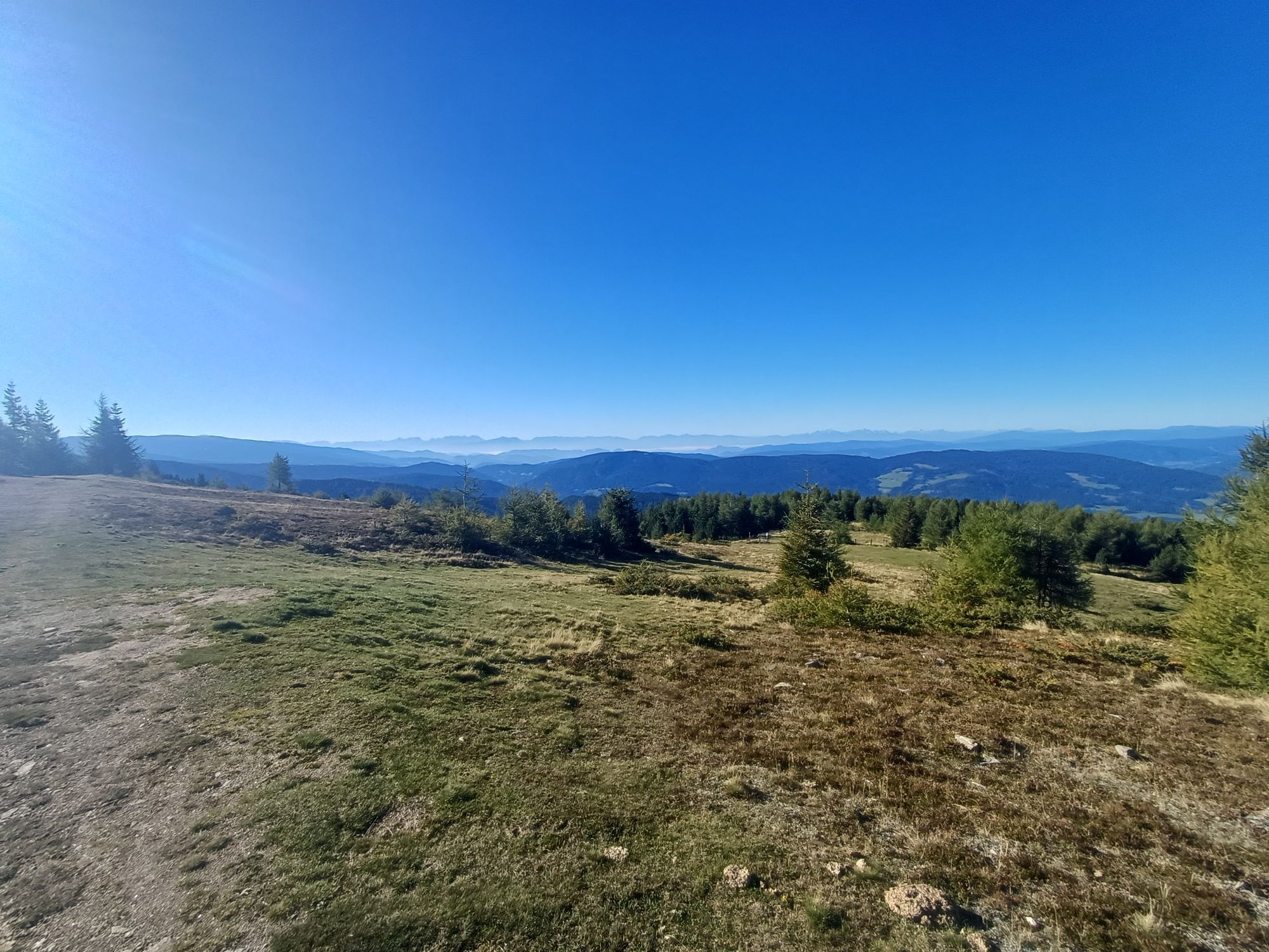
Aus der immer schütterer werdenden Baumgrenze heraus führt der Weg nunmehr leicht steigend über baumfreies Gelände in Richtung Zirbitzkogel, ehe sich dieser nach O (halbrechts) wendet und dem Murtalblick an der Lavantseehöhe, 2.250m zusteuert.
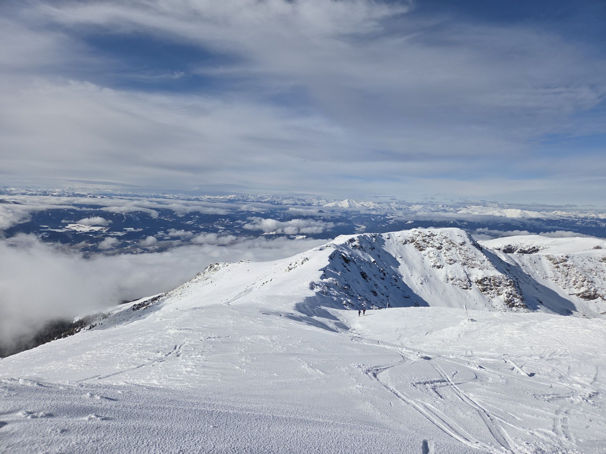
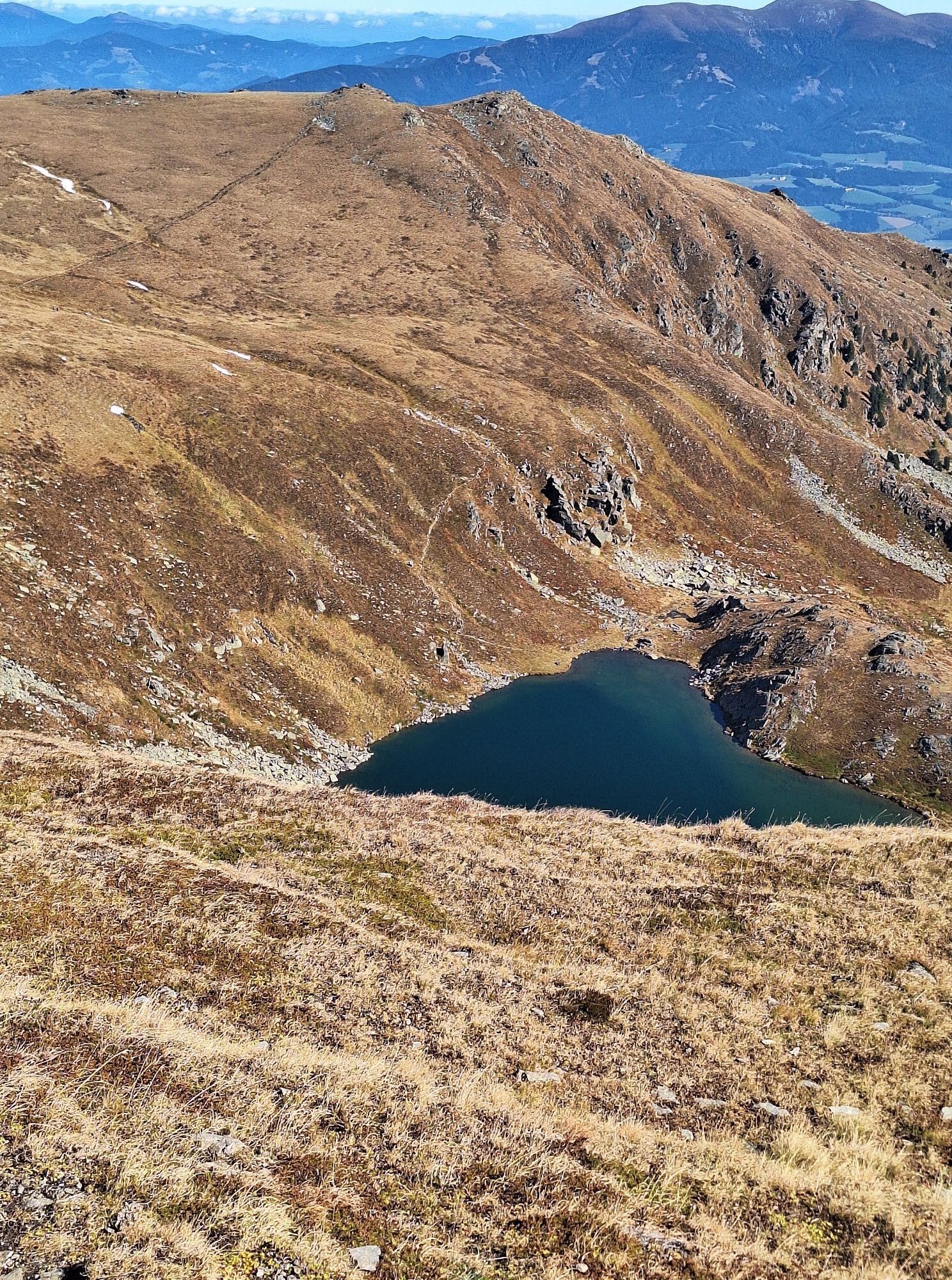
Der herrliche Ausblick ins Murtal und zum romantisch gelegenen Lavantsee ist der Lohn für die Mühen des Aufstiegs.
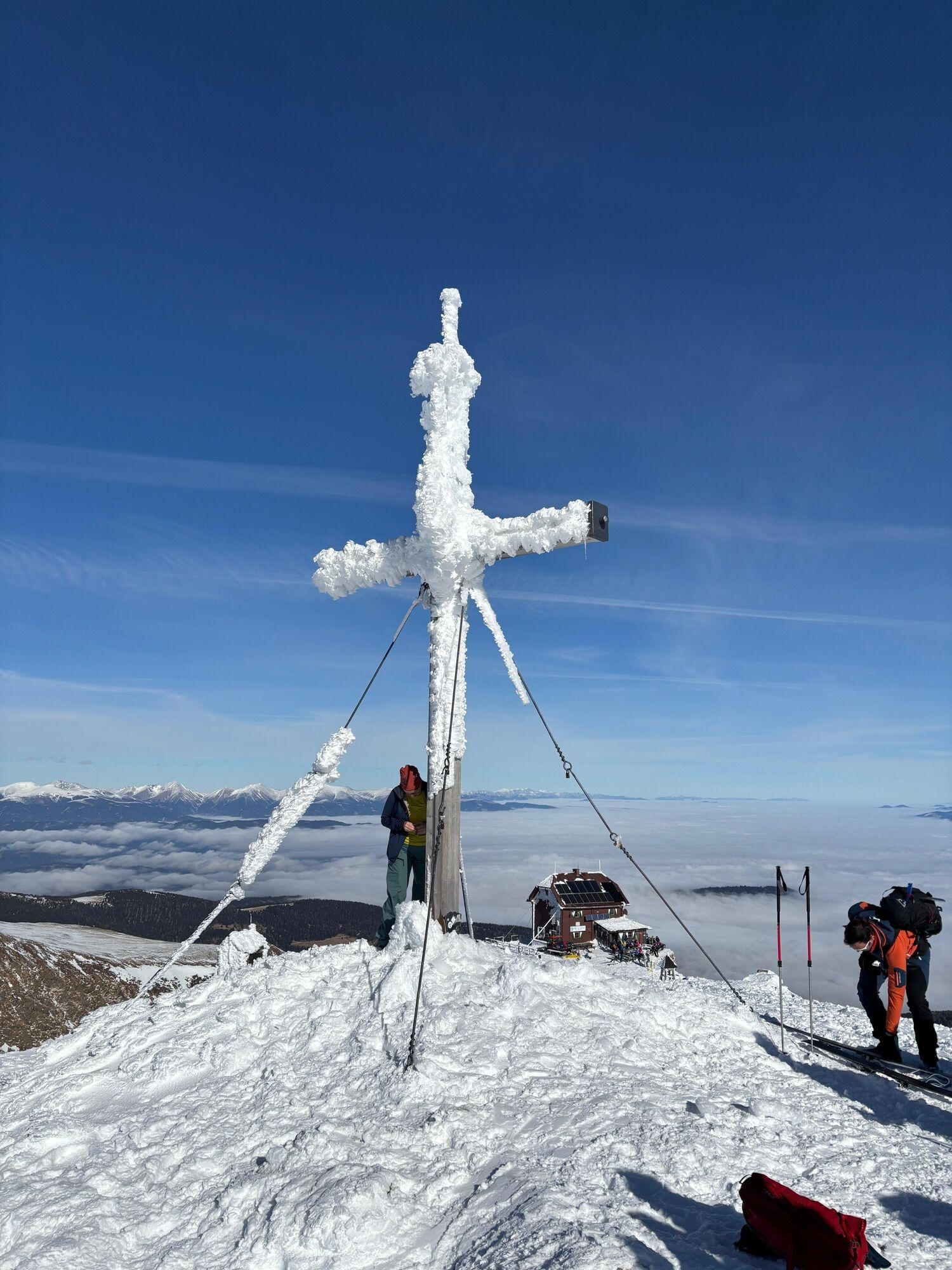
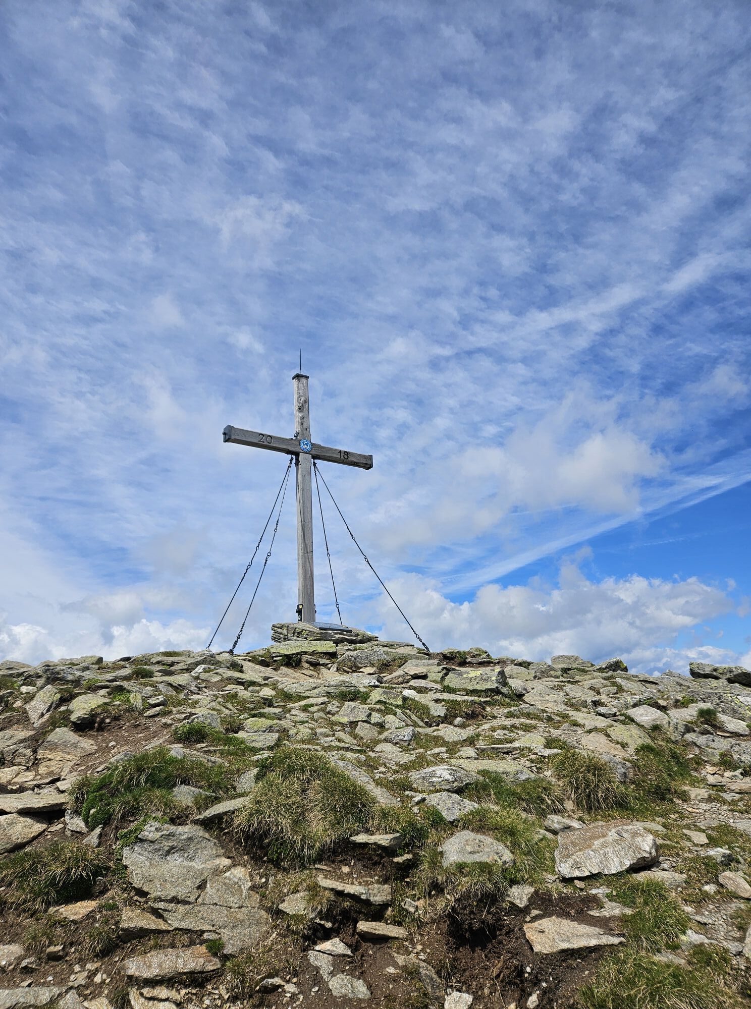
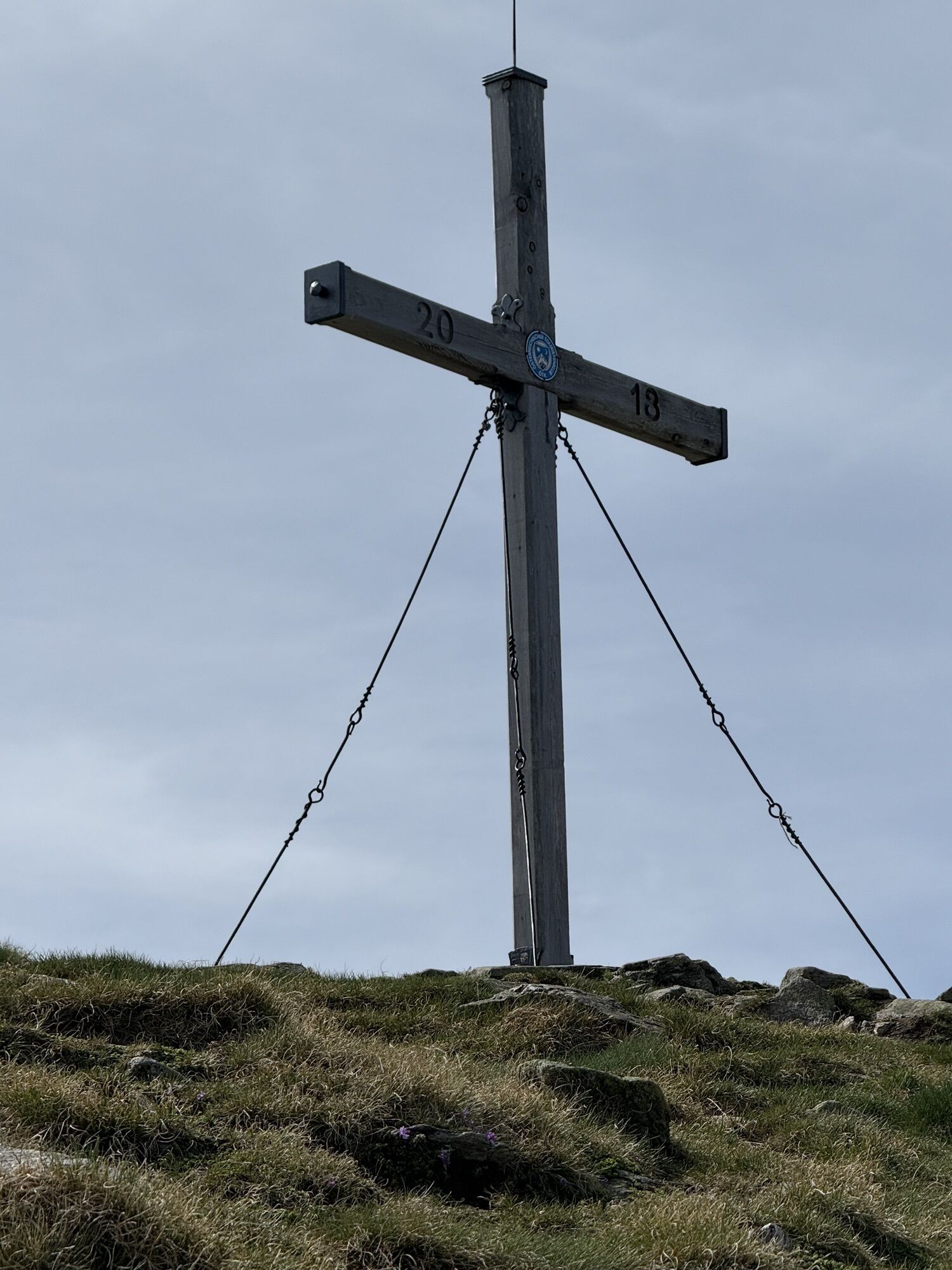
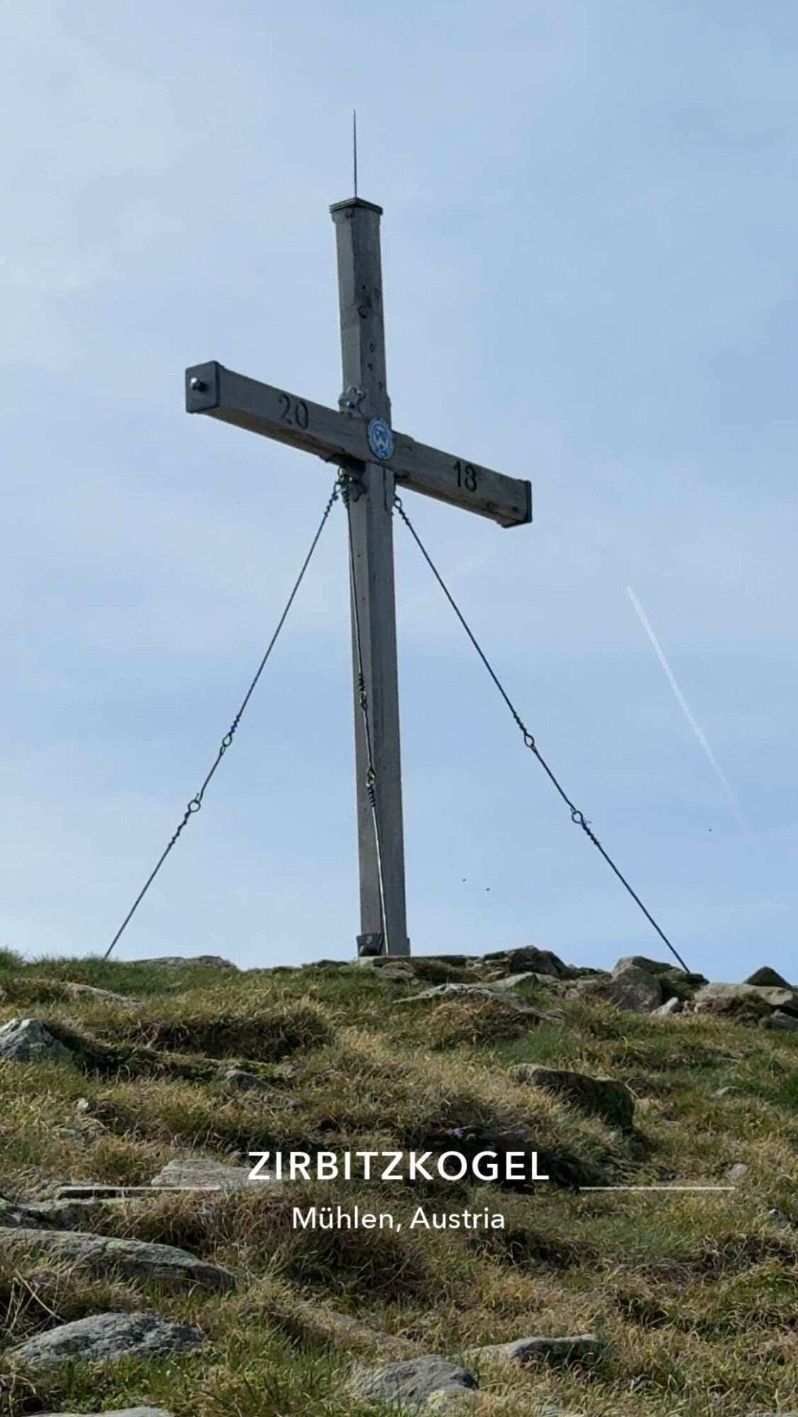
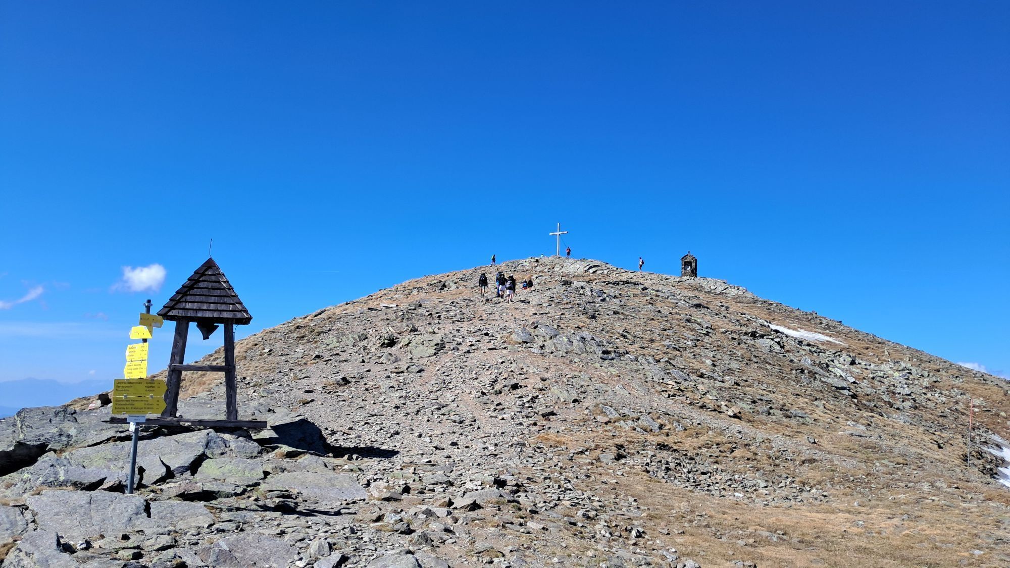
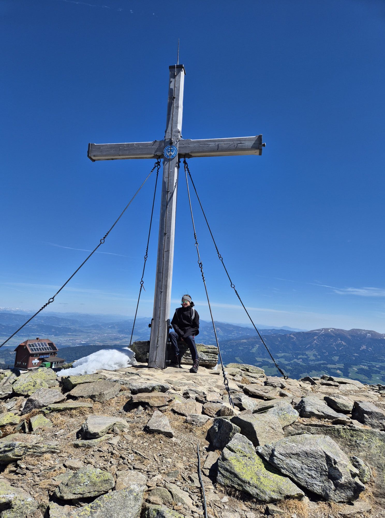
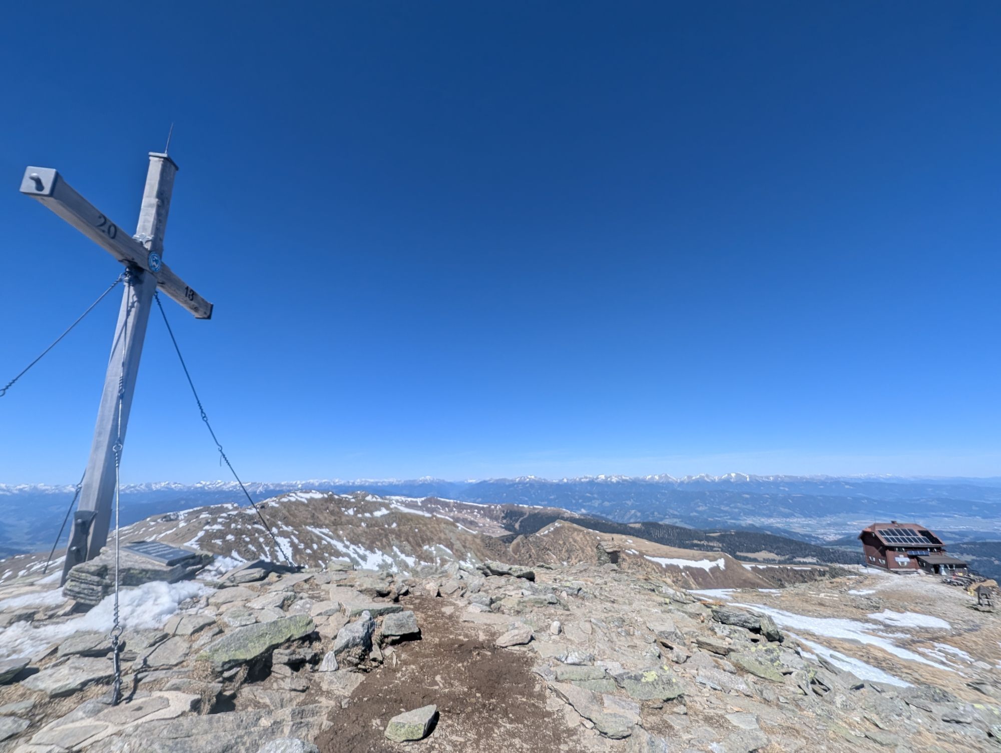
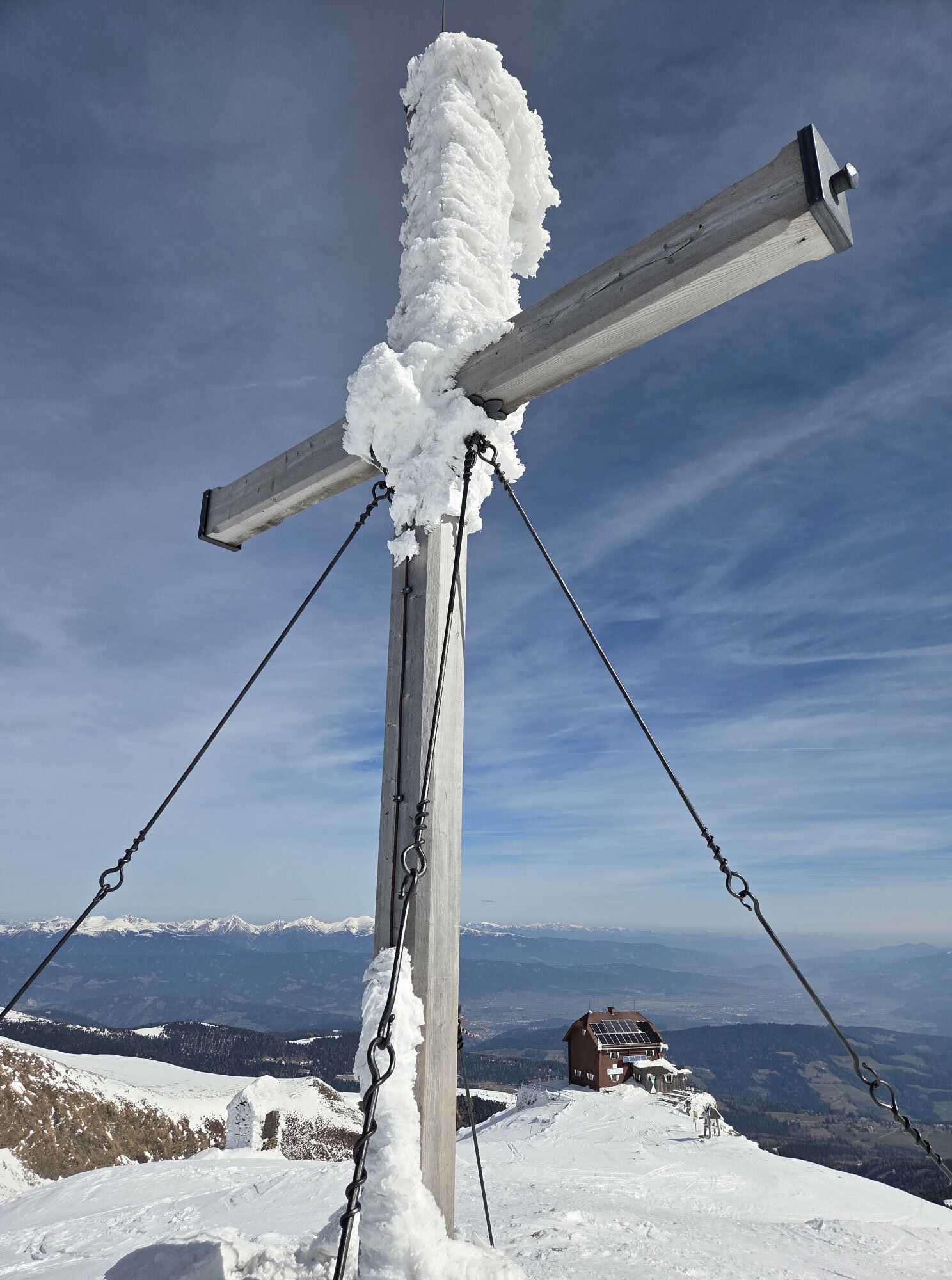
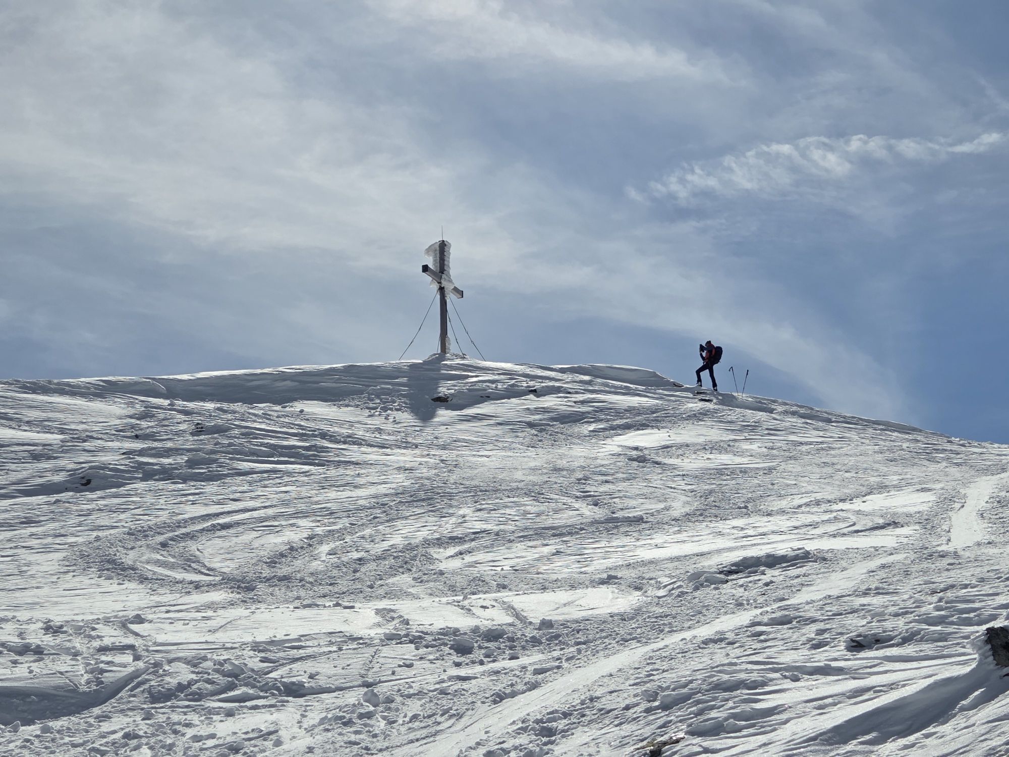
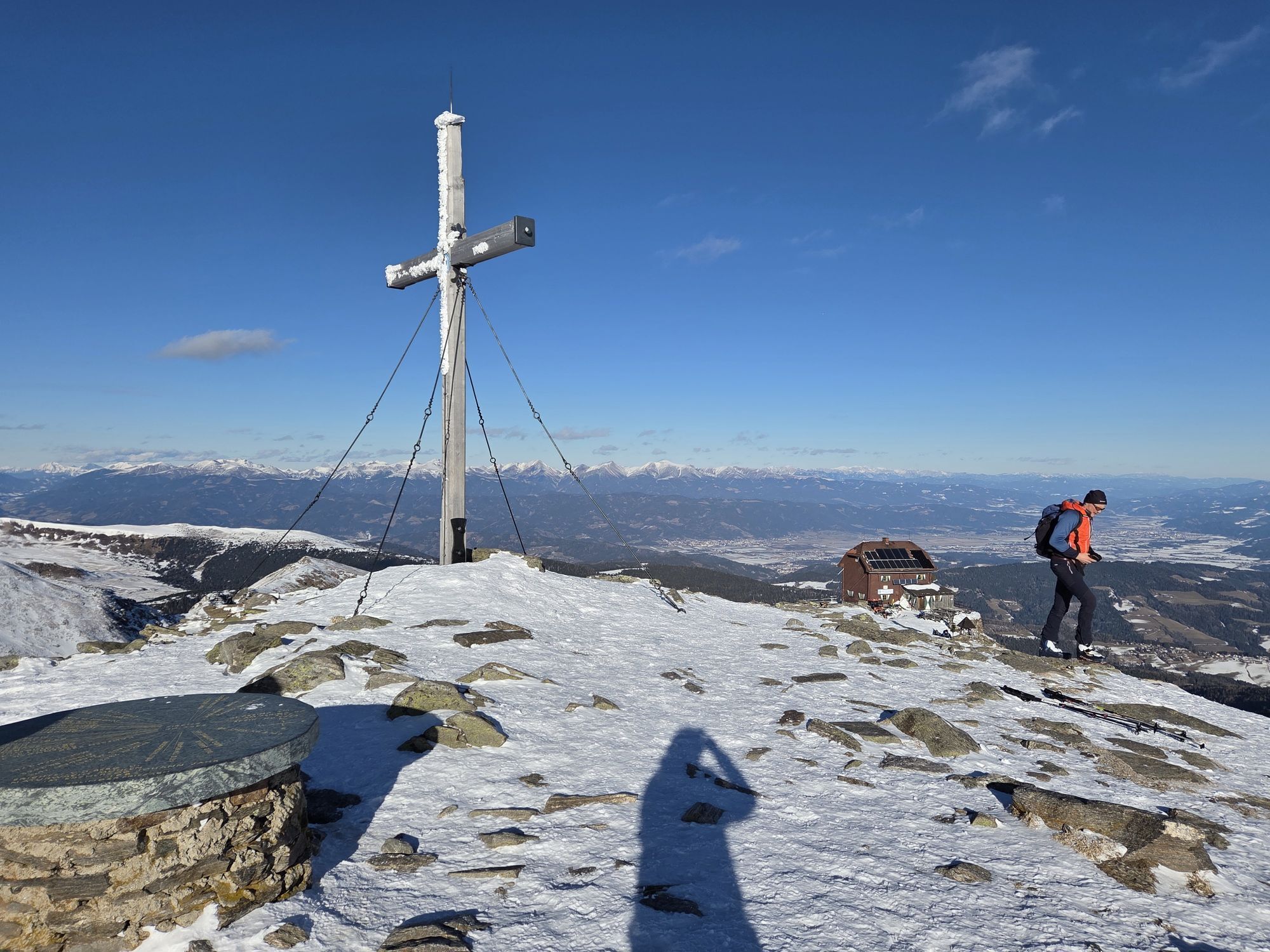
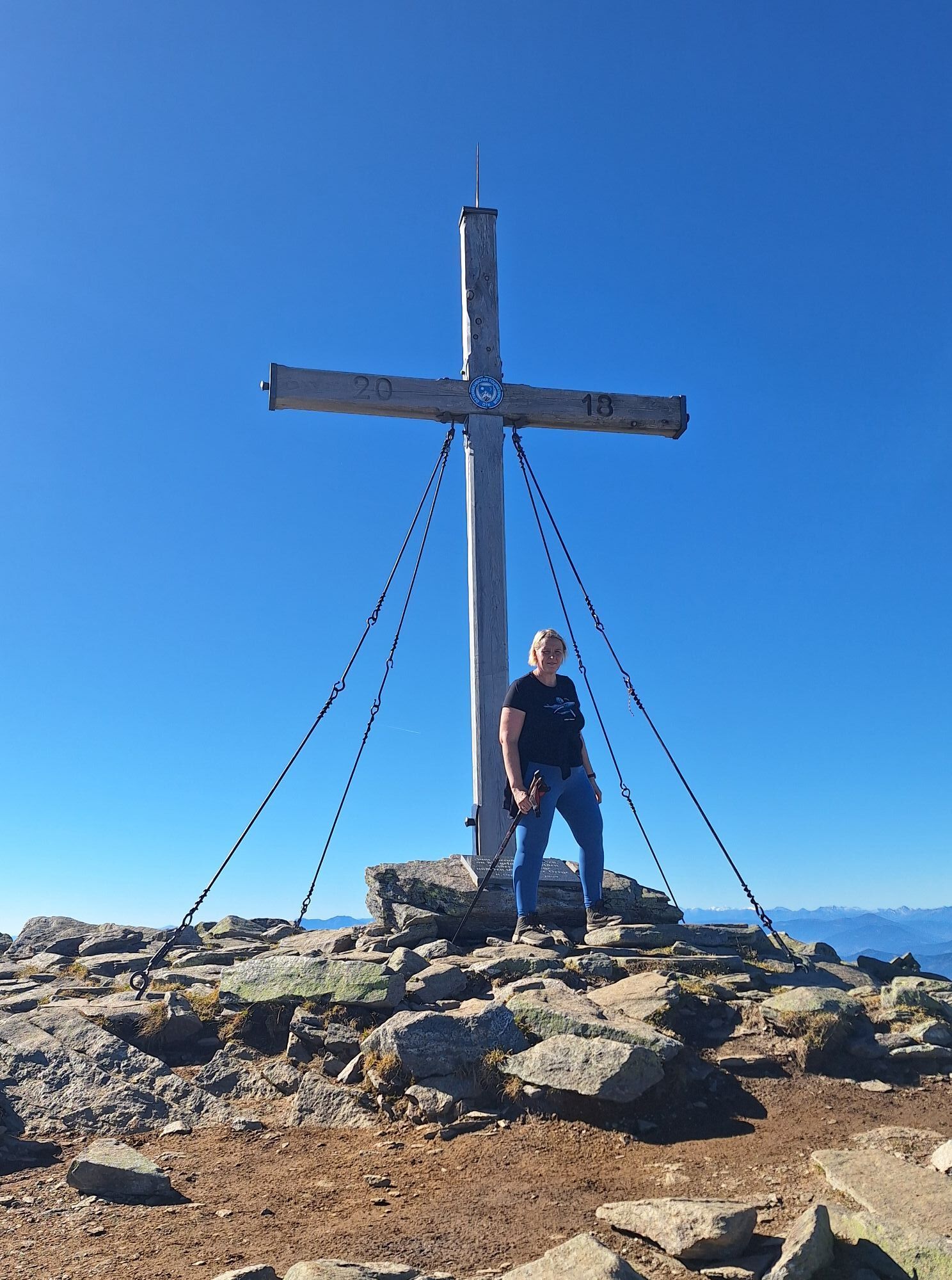
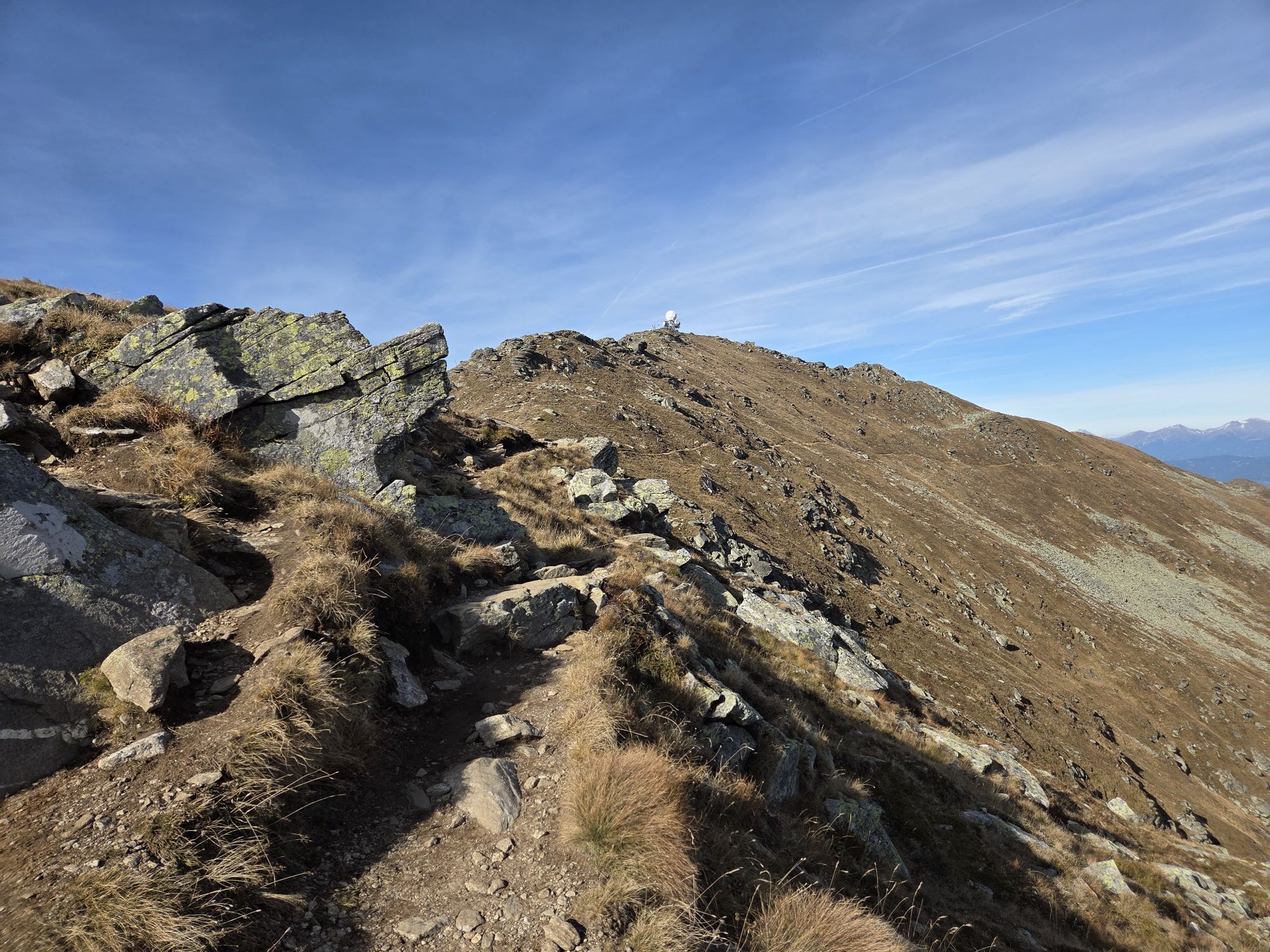
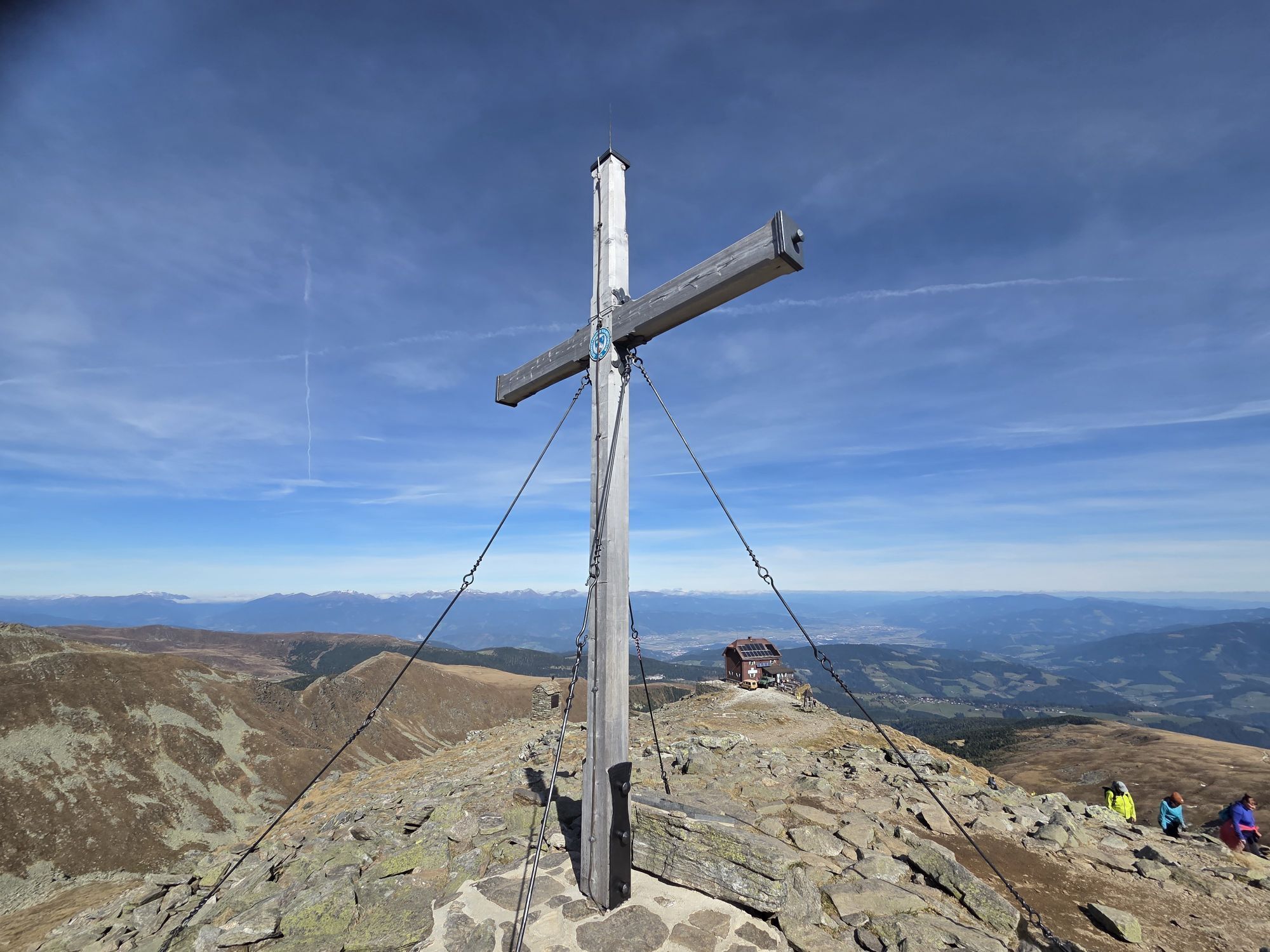
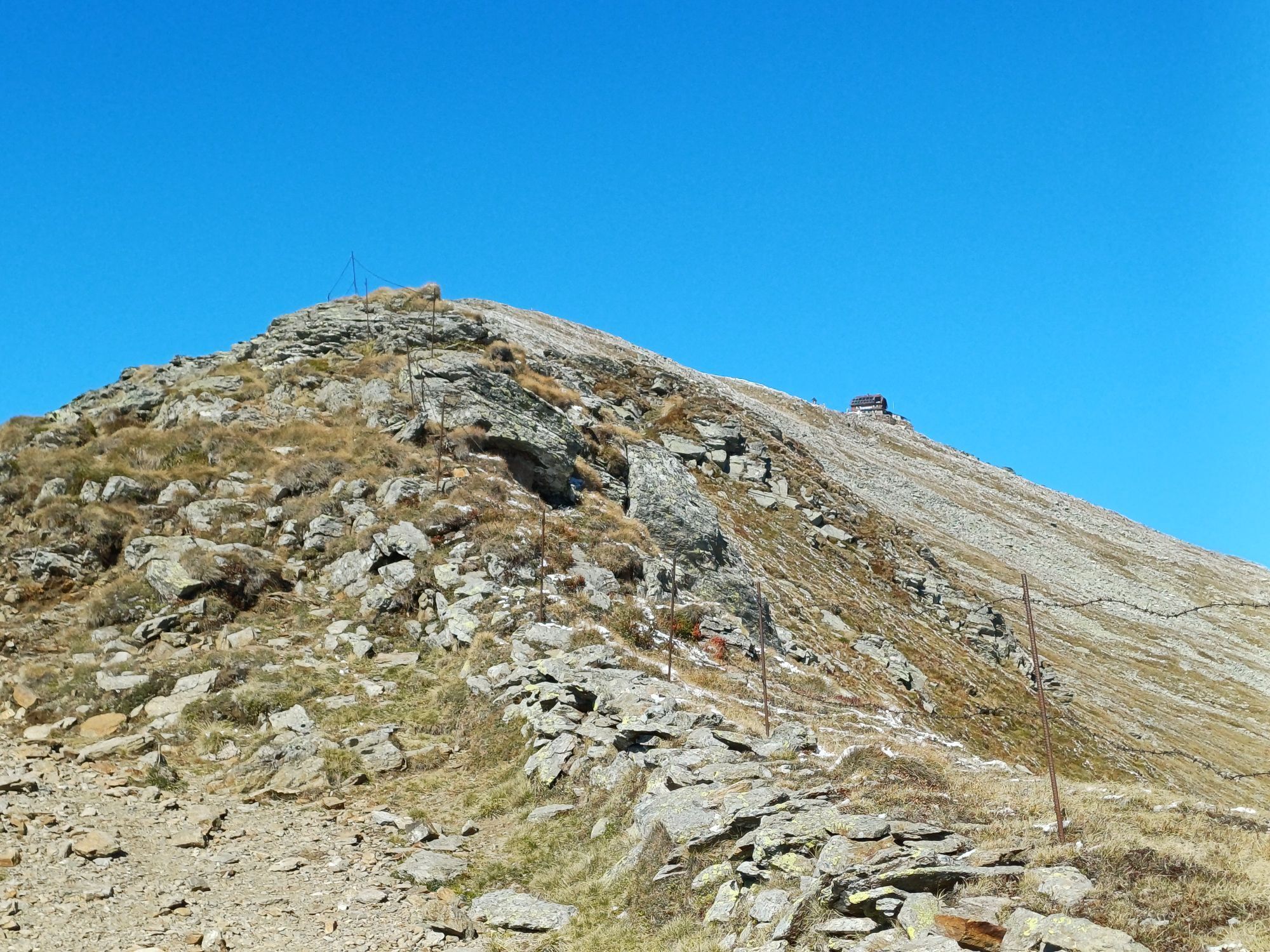
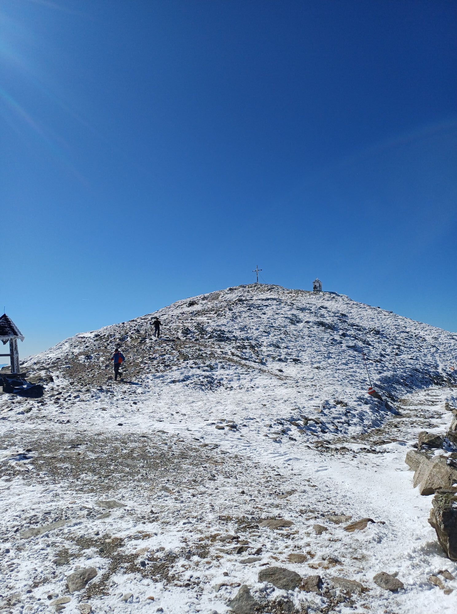
Dem Kammverlauf nach N (links), der Markierung 312 auf den Gipfel des Zirbitzkogel, 2.396m folgen.
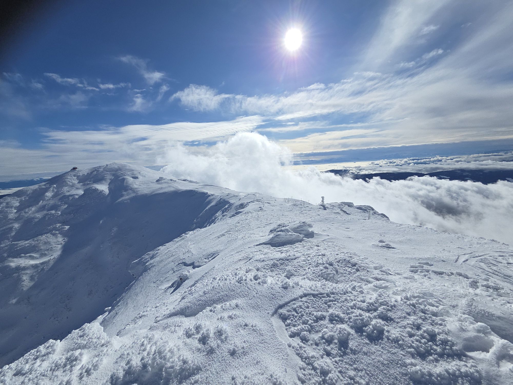
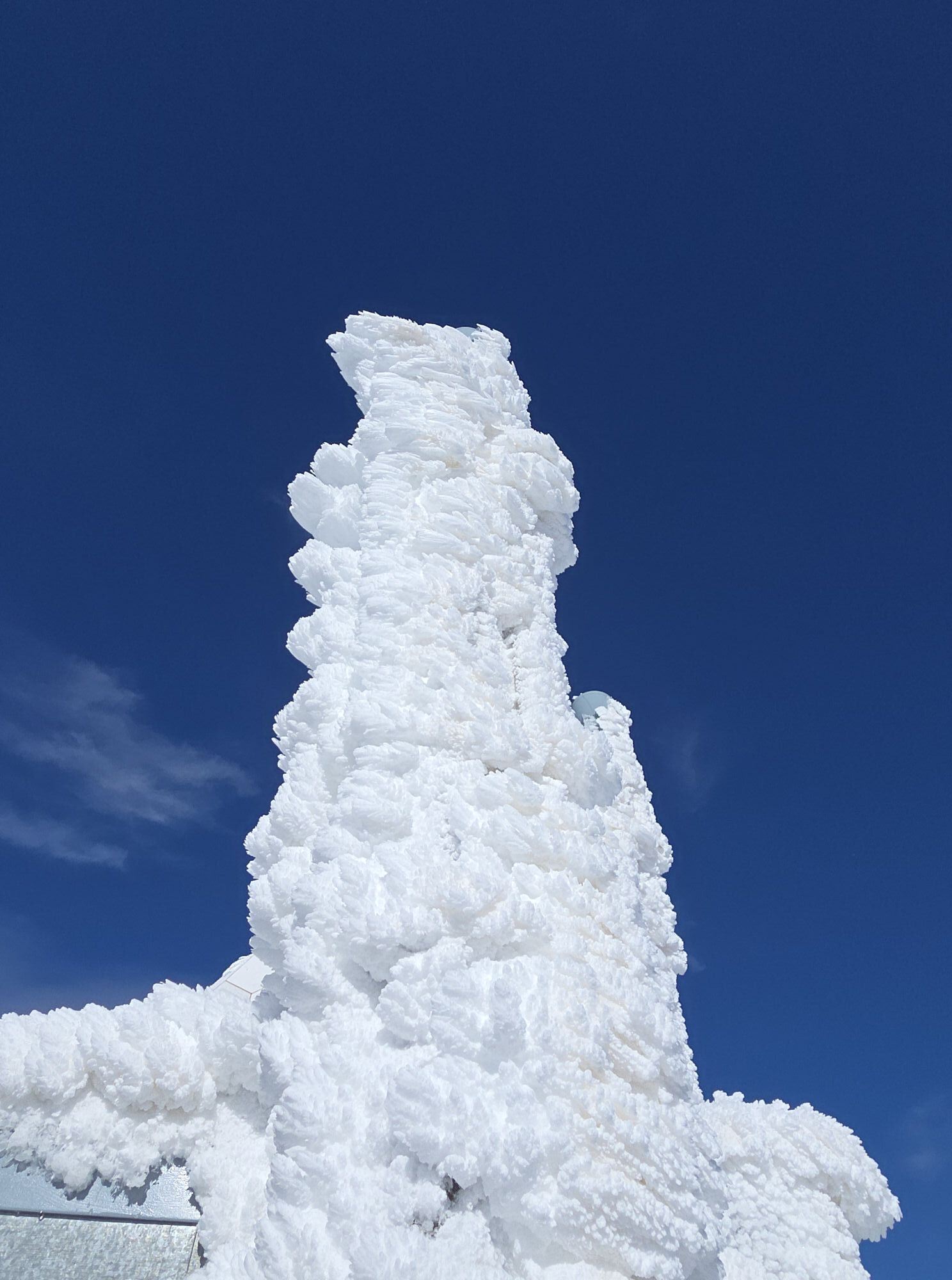
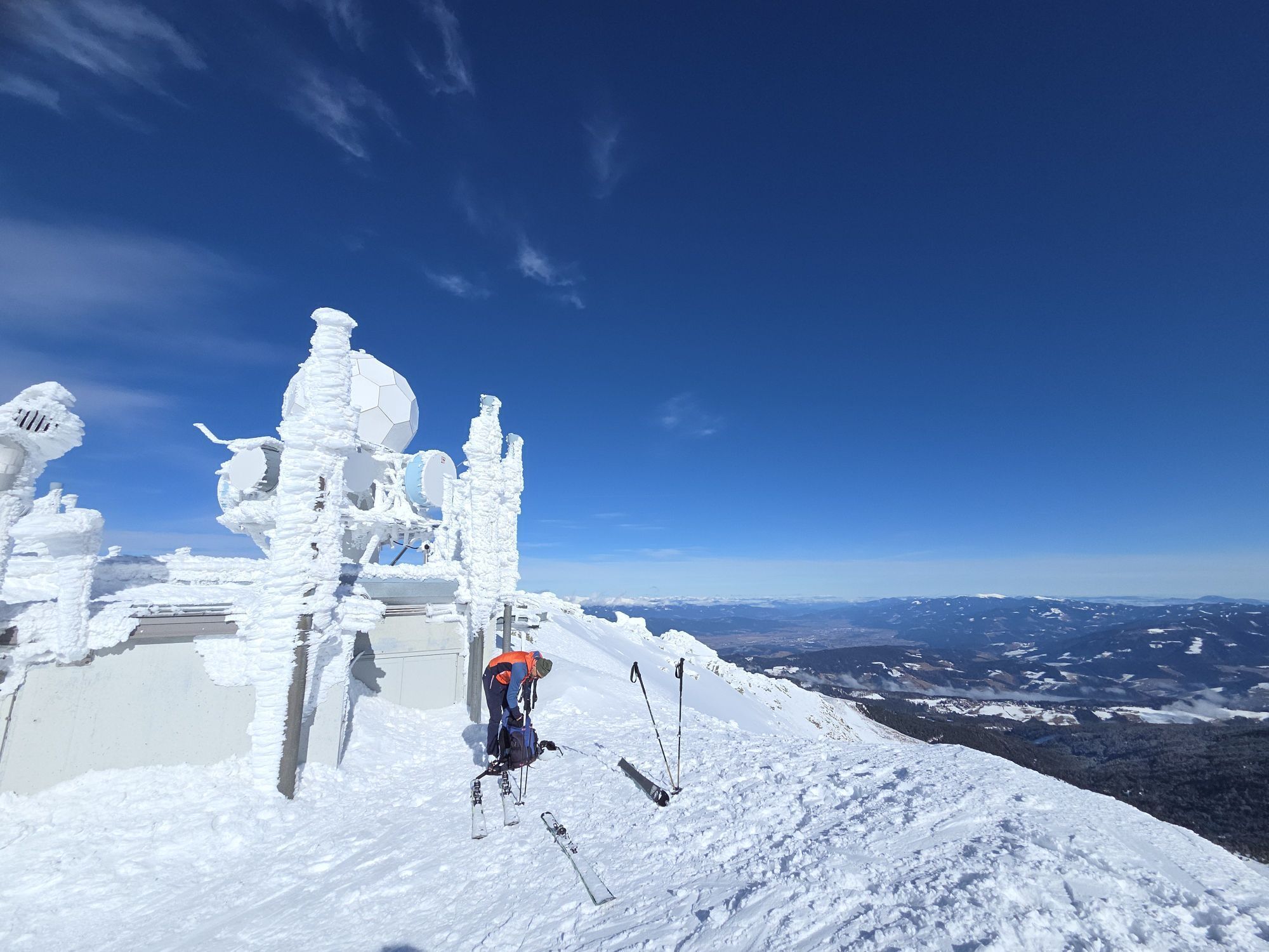
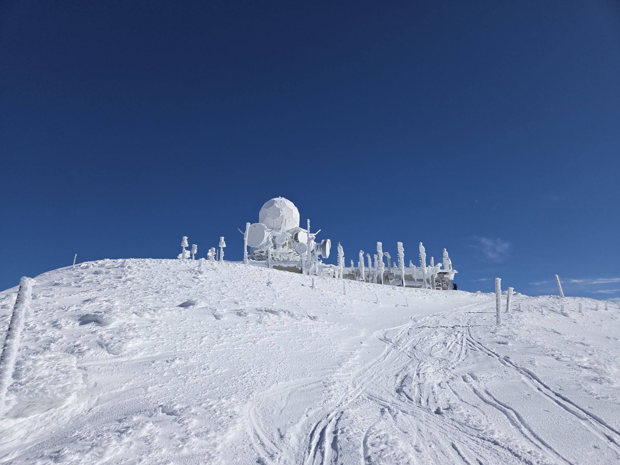
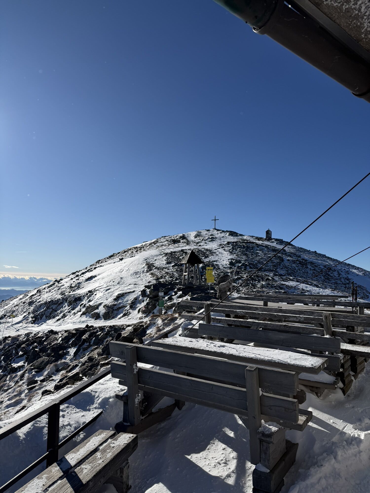
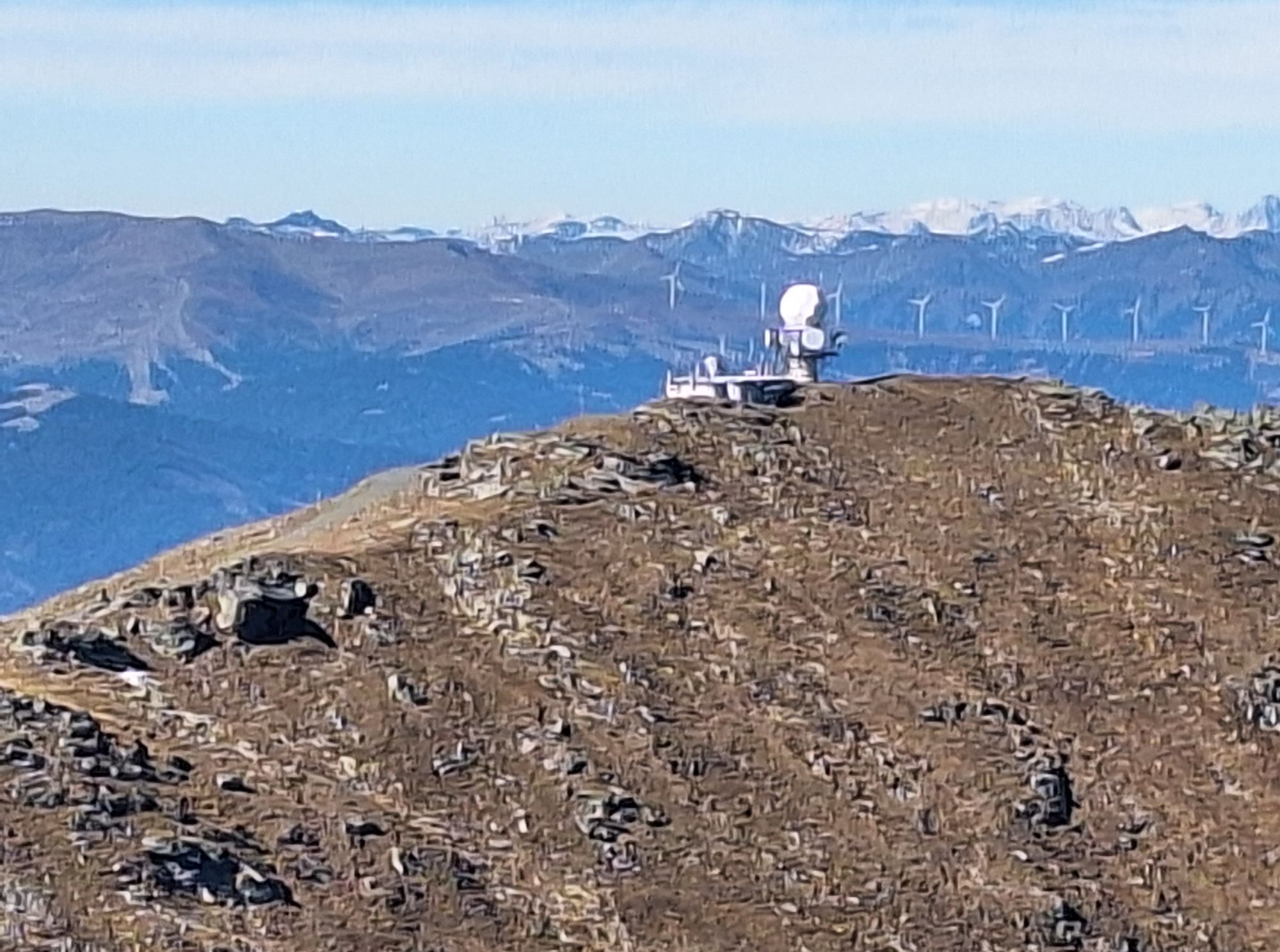
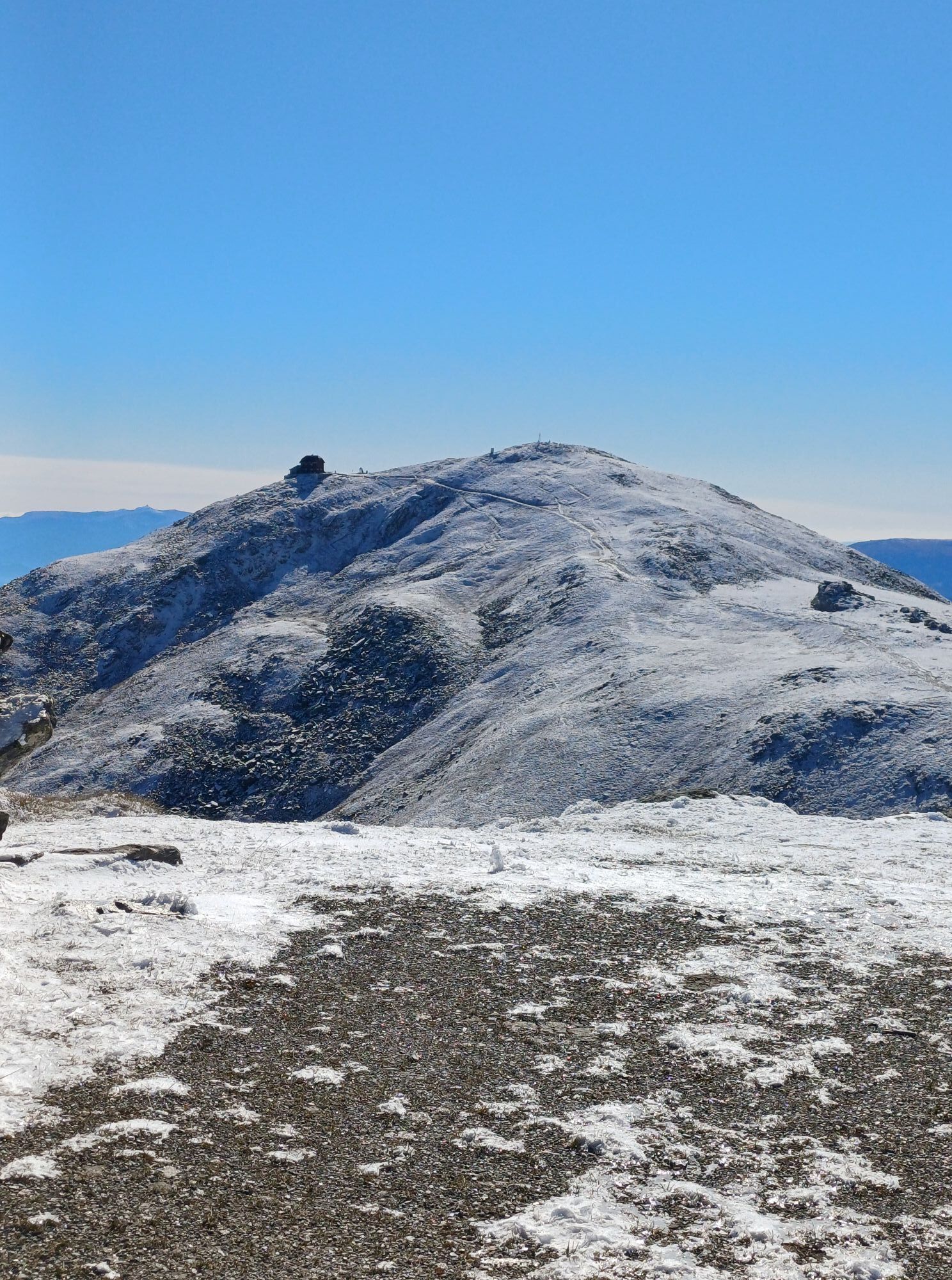
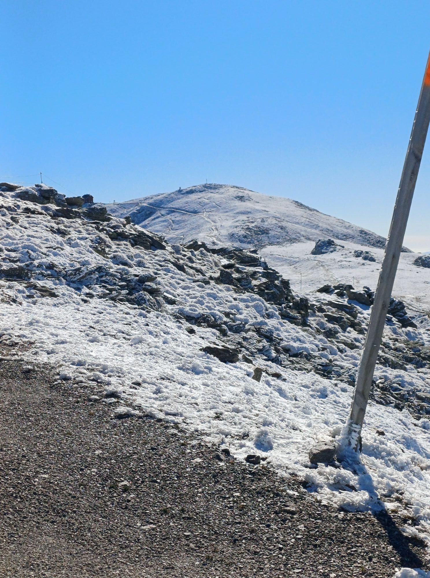
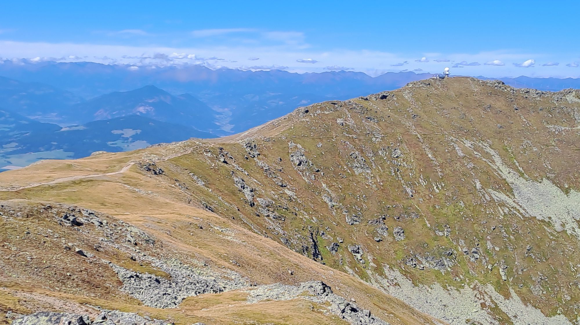
Vom Zirbitzkogel dem markierten Weg 315 in Richtung Scharfes Eck mit der Radarstation.
Aufstieg Alternative:
Vom Ortszentrum Mühlen aus per PKW oder Taxi auf der Zufahrtsstraße über Jakobsberg zur Tonner Hütte (Park- u. Einkehrmöglichkeit).
Vom P Tonner Hütte, 1.605m nach O dem leicht steigenden Forstweg bis zur 1. Kehre.
Unmittelbar von der Kehre zweigt der Fussweg nach rechts ab und wendet sich dem rechten Rand der Schipiste zu.
Dem Verlauf der Piste folgend mäßig steigend, an der Bergstation des Liftes vorbei, führt der Weg auf die Hohe Hald.
Aus der immer schütterer werdenden Baumgrenze heraus führt der Weg nunmehr leicht steigend über baumfreies Gelände in Richtung Zirbitzkogel, ehe sich dieser nach O (halbrechts) wendet und dem Murtalblick an der Lavantseehöhe, 2.250m zusteuert.
Der herrliche Ausblick ins Murtal und zum romantisch gelegenen Lavantsee ist der Lohn für die Mühen des Aufstiegs.
Dem Kammverlauf nach N (links), der Markierung 312 auf den Gipfel des Zirbitzkogel, 2.396m folgen.
Vom Zirbitzkogel dem markierten Weg 315 in Richtung Scharfes Eck mit der Radarstation.
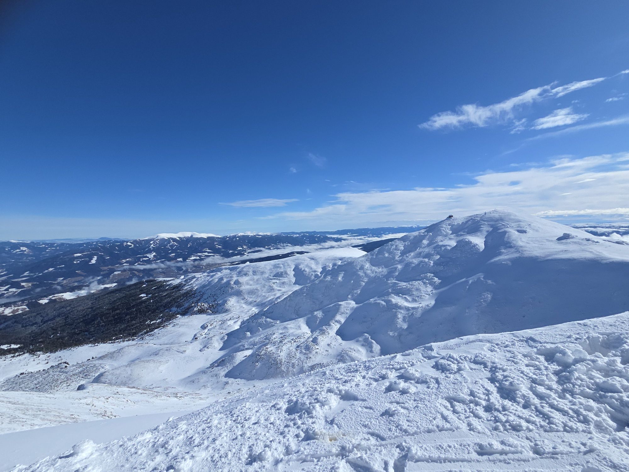
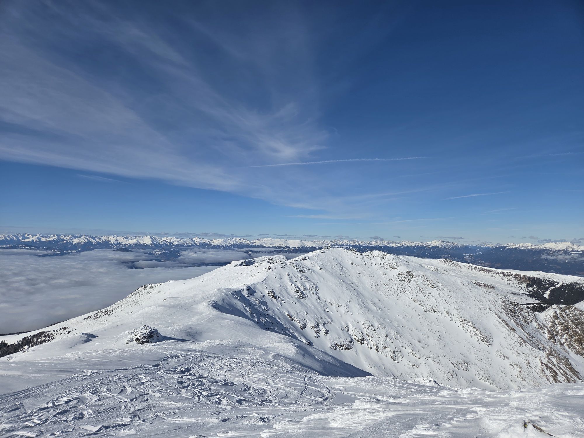
Von der Abzweigung des Schreiber-Steiges an der Westseite des Scharfen Eckes, 2.364m vorbei, leicht fallend über die Ochsenbodenhöhe, 2.292m zum Podmenik-Kreuz.
An der Gabelung der Forstwege ca. 100m nach der Linkskehre nach links (NW) abzweigen und dem leicht fallenden Forstweg folgen.
Vor der Zufahrt zu einem Wochenendhaus nach halbrechts leicht steigend bis an einen Weidezaun.
Nach dem Passieren des Zaunes dem Steig in gleicher Höhe durch schütteren Hochwald folgen bis dieser in einem kleinen Tal auf einen alten Waldweg trifft, der leicht steigend in Richtung Hohe Hald (NO) bis an einen Forstweg führt.
Dem leicht steigenden Forstweg nach N (links) bis an das Ende der Ferienhaus_Siedlung folgen.
Vor den letzten Ferienhäusern zweigt die NW-Strecke nach SO (rechts) ab und führt an der Bergstation des Schiliftes vorbei an den von der Tonner Hütte heraufführenden Weg auf den Zirbitzkogel.
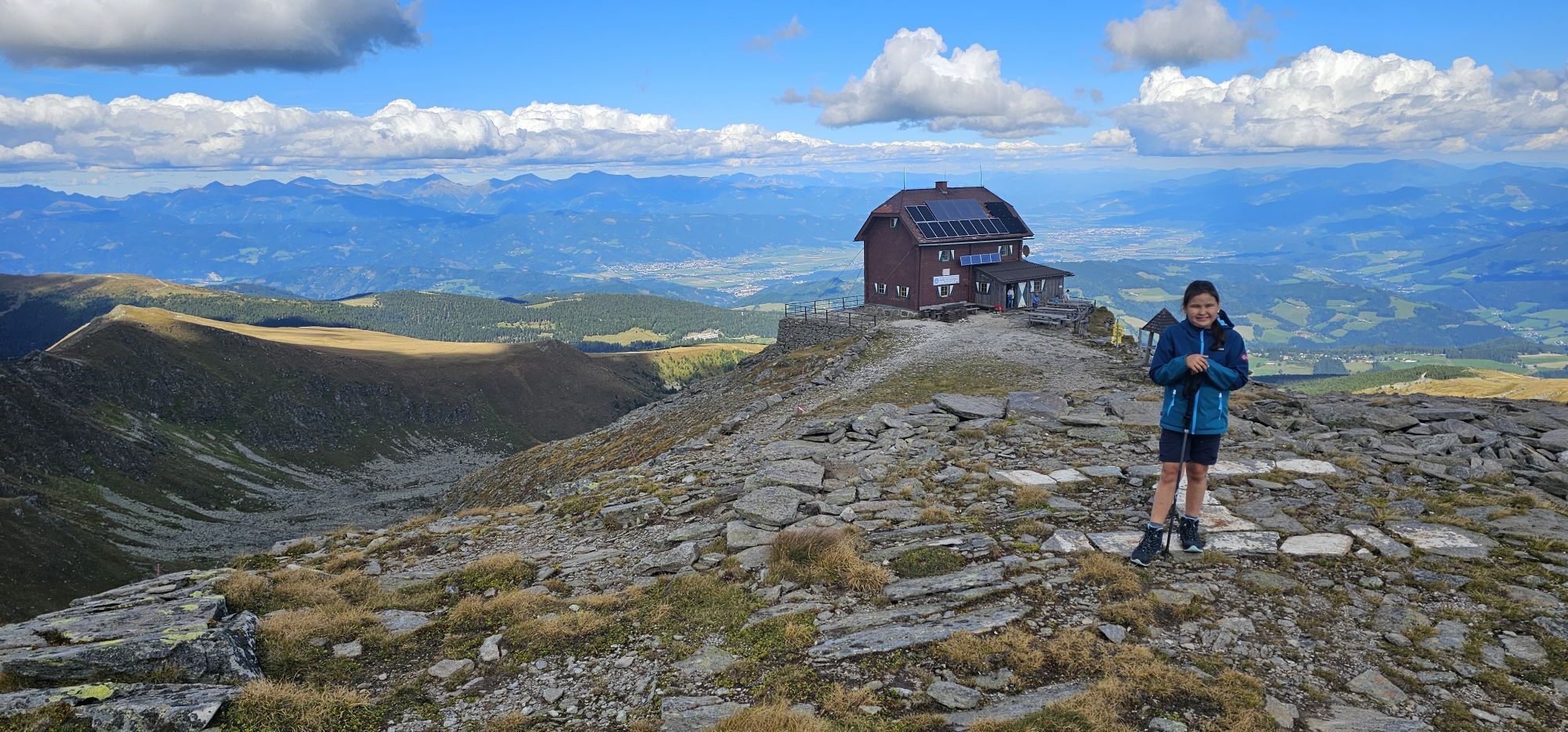
Zirbitzkogel Schutzhaus
Freytag und Berndt WK 212, Wanderkarte Mühlen am Zirbitzkogel
Von Wien auf der Südautobahn A2 bis Knoten Seebenstein, der Semmering-Schnellstraße S6 nach St, Michael i. Obersteiermark, über die Murtal-Schnellstraße S36 nach Judenburg, der Bundesstraße B96 nach Scheifling, auf der B317 nach St. Marein b. Neumarkt, auf der B92 weiter nach Mühlen.
Aus der BRD bzw. von Linz auf der Phyrn-Autobahn A9 bis nach St, Michael i. Obersteiermark, über die Murtal-Schnellstraße S36 nach Judenburg, der Bundesstraße B96 nach Scheifling, auf der B317 nach St. Marein b. Neumarkt, auf der B92 weiter nach Mühlen.
Von Graz auf der Südautobahn A2 über den Packsattel bis Abfahrt Twimberg/Bad St. Leonhard, der Bundesstraße B78 nach Wiesenau, auf der Klippitztörlstraße nach Hüttenberg, auf der B92 weiter nach Mühlen.
Aus Italien/Slowenien bzw. von Klagenfurt auf der Wörthersee-Autobahn A2 nach Klagenfurt, der Bundesstraße B317 nach St. Marein b. Neumarkt, auf der B92 weiter nach Mühlen.
Activités le long du parcours

Zirbitz 2
13.06.2026 – Randonnée
Mühlen, Steiermark/Österreich
05.06.2026 – Randonnée
Zirbitzkogel
25.10.2025 – Randonnée en montagne
Mühlen, Steiermark/Österreich
31.08.2025 – Randonnée
Tonnerhütte - Zirbitzkogel
26.08.2025 – Randonnée
Mühlen, Steiermark/Österreich
24.08.2025 – Randonnée en montagne
Wanderung Zirbitzkogel
13.07.2025 – Randonnée en montagne
Mühlen Wandern
25.01.2025 – Randonnée en montagne
Mühlen, Steiermark/Österreich
04.08.2022 – Randonnée
Parcours populaires à proximité
- 4,7
Graggerschlucht
moyenChemin thématique 3,91 km - 4,6
Zirbitzkogel-Runde über Lindersee
moyenRandonnée 10,5 km - 4,9
Zirbitzkogel Wildsee Rothaidehütte
moyenRandonnée 15,4 km - 4,8
Zirbitzkogel Waldheimhütte - Wildsee - Fuchskogel - Zirbitzkogel, Steiermark/Österreich
moyenRandonnée 15,2 km - 3,8
Vom Almidyll Sabathy (Sabathyhütte) auf den Zirbitzkogel
moyenRandonnée 7,70 km - 4,7
Skitour Hohe Ranach
moyenSki de randonnée 3,04 km - 4,6
Skitour Zirbitzkogel
moyenSki de randonnée 6,01 km - 5,0
Rothaidehütte Runde Zirbitzkogel
moyenRandonnée 6,17 km - 4,4
Naturfreundehaus Winterleiten 1800 m- Zirbitzkogel 2369 m- Kreiskogel 2340 - Winterleitenhütte
difficileRandonnée 11,9 km - 5,0
Zirbitzkogel, 2396m, von Winterleiten Hütte
moyenRandonnée 10,5 km
Randonnée et suivi


Ne manquez pas les offres et l'inspiration pour vos prochaines vacances
Votre adresse électronique a été ajouté à la liste de diffusion.