






Zauchensee (13)

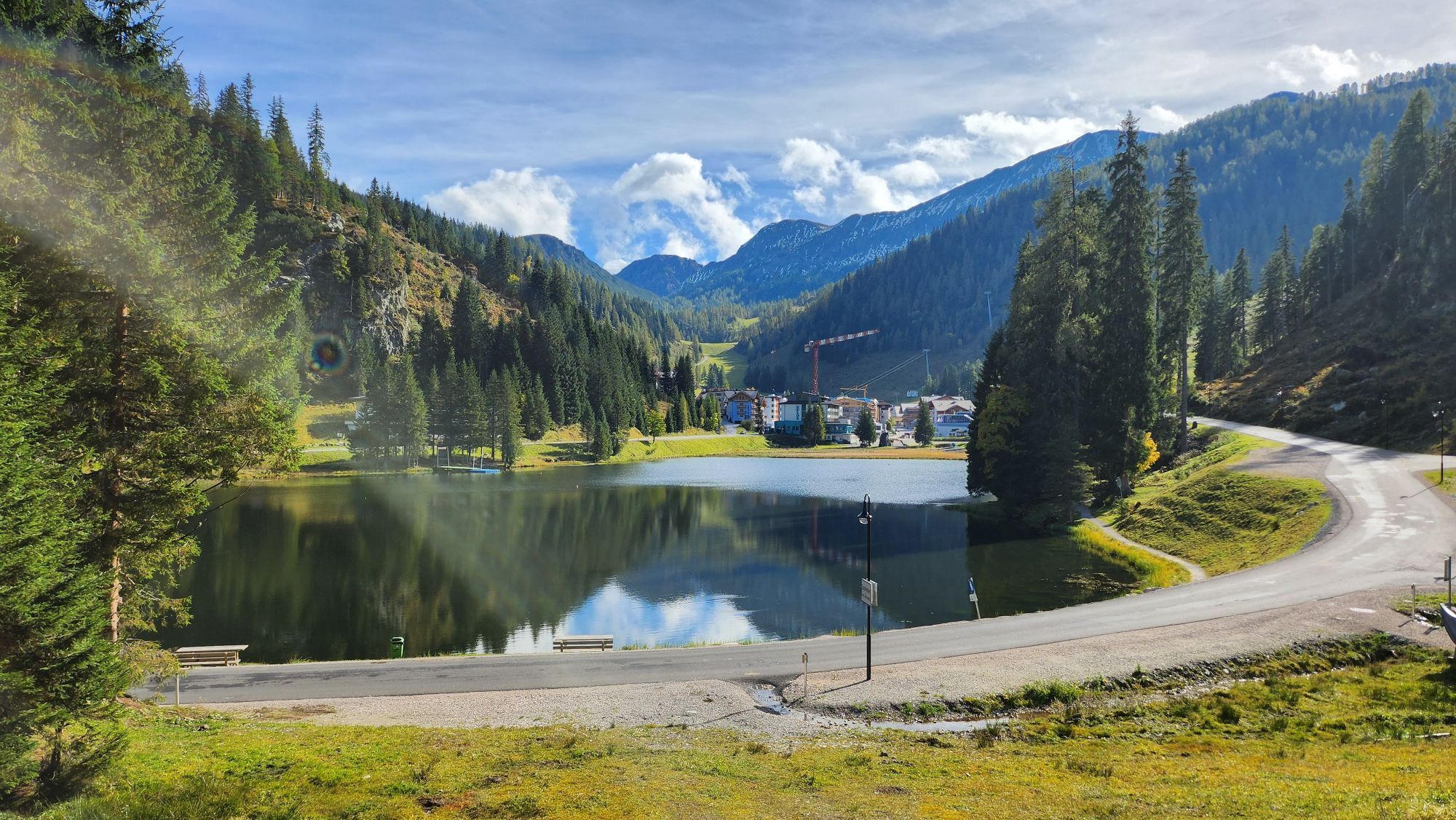
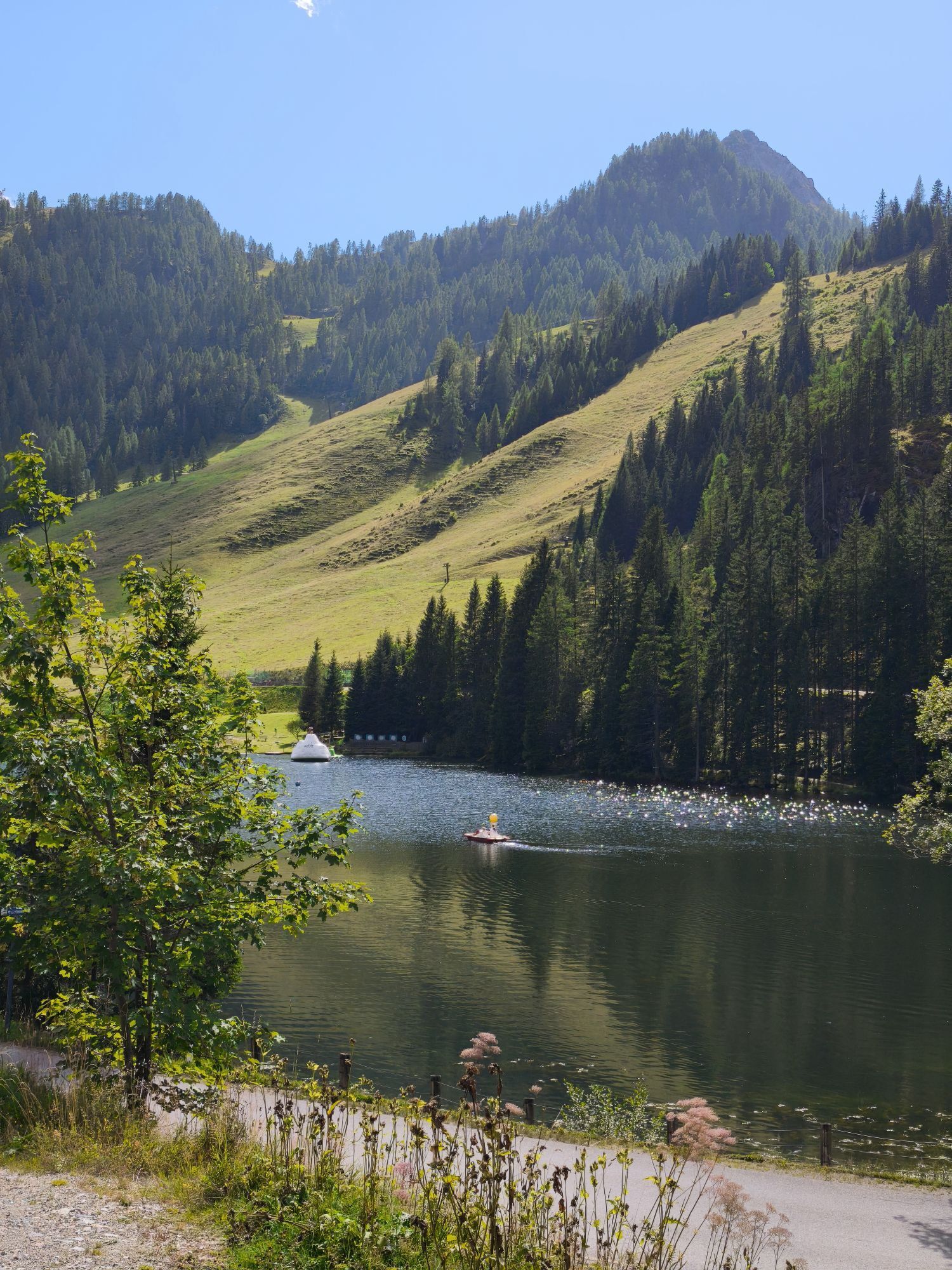
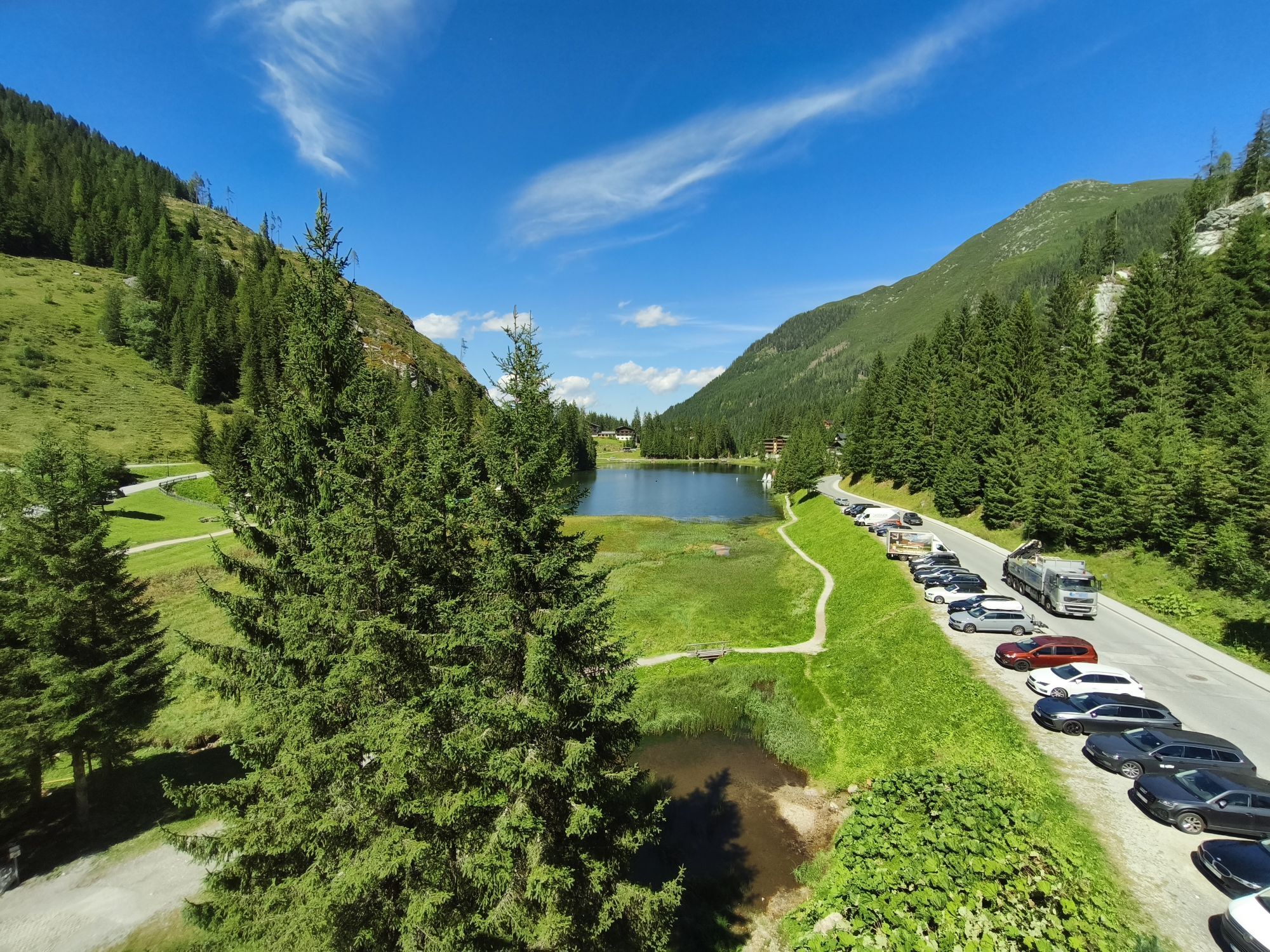
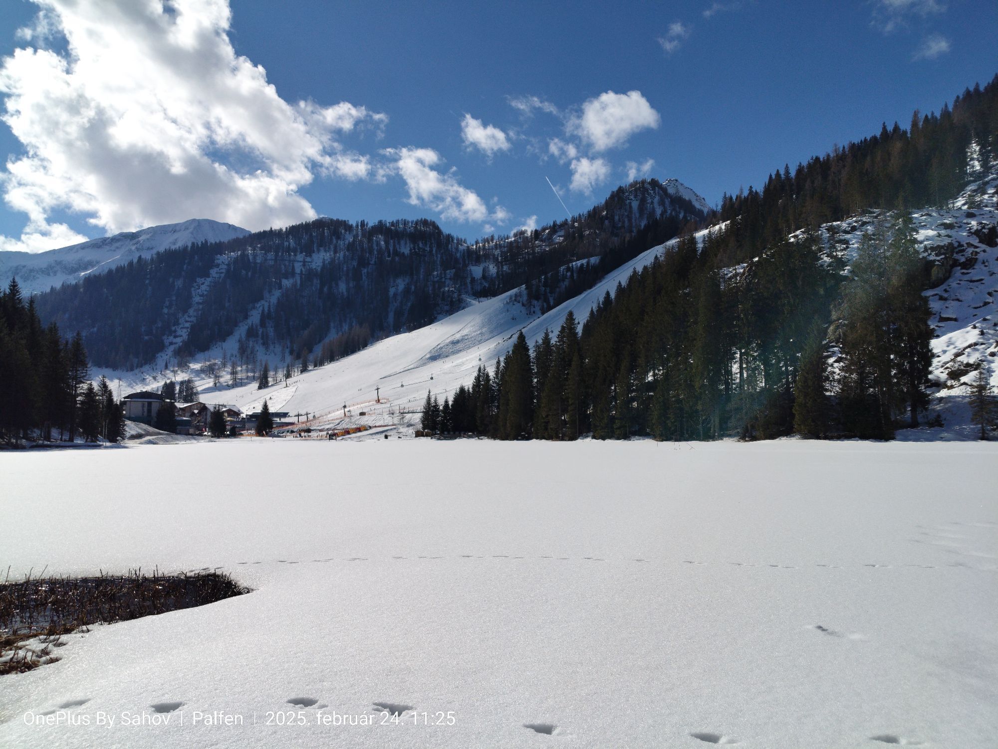


The village Zauchensee (1.350m) impresses with two mountain lakes: the Zauchensee, with the themed path “Moon-path” and an observatory, and the Seekarsee (1.900m) with the Gamskogelhütte and an adventure...
The village Zauchensee (1.350m) impresses with two mountain lakes: the Zauchensee, with the themed path “Moon-path” and an observatory, and the Seekarsee (1.900m) with the Gamskogelhütte and an adventure playground. After a short hike the Seekarsee can be reached with another theme-track.


The starting point is in Kleinarl or Wagrain in front of the tourist office. In Wagrain - Markt, at the intersection with the B163, turn right towards Flachau. The pretty market church in Wagrain is on your right. We drive through the districts of Schwaighof and Moadörfl. The bike path towards Flachau begins at the town exit, right at the Wagrain sign. At the first roundabout, take the 3rd exit towards Reitdorf and drive along the Enns bike path to Altenmarkt.
Drive through Altenmarkt, turn right at Gasthof Markterwirt with a view of the Altenmarkter church and follow the Zauchenseestraße, past the Radstadt-Altenmarkt ski area, along the Zauchenbach to Zauchensee.
Take the same route for the way back.
Bike helmet, drinking bottle, jacket
Webcams de la tournée
-
Bergstation achterjet
-
Gernkogel - Alpendorf St. Johann
-
Gamskogelhütte
-
Gnadenalm
-
Radstadt - Simonyhof
-
Altenmarkt - Sinnhubbauer
-
Kemahdhöhe
-
Zauchensee Weltcuparena
-
Chill House / Jib Park
-
Bergstation Bubble Shuttle - Powder Shuttle
-
Reitlehenalm
-
Zauchensee
-
Zauchensee - Hotel Alpenhof
-
Altenmarkt - Habersatt
-
Gernkogel - Alpendorf St. Johann
-
Gernkogel - Alpendorf St. Johann
-
Lumberjack Shuttle
-
Radstadt - Wasserwerk
-
Zauchensee - Rosskopf
-
Ferienbauernhof Habersattgut
-
Wagrain / Hotel Wagrainerhof
-
Mooslehen Berg
-
Snow Space Salzburg - Flying Mozart
-
Gernkogel - Alpendorf St. Johann
-
Gernkogel - Alpendorf St. Johann
-
Gernkogel - Alpendorf St. Johann
-
Gernkogel - Alpendorf St. Johann
-
Snow Space Salzburg - woom bike area
-
Flying Mozart Bergstation
Obtenez un aperçu
Toujours en direct avec plus de 9.500 webcams. En tant qu'utilisateur Pro, vous pouvez désormais voir les webcams correspondantes à de nombreuses randonnées dans l'application de randonnées de bergfex. Vous pouvez ainsi voir directement les conditions actuelles.
Parcours populaires à proximité
-
5,0
Großarl : Circuit des alpages dans la vallée d'Ellmautal
moyenRandonnée 9,69 km -
4,6
Parcours de ski Lackenkogel
moyenSki de randonnée 7,82 km -
4,8
Liechtensteinklamm mit Helix
facileChemin thématique 3 km -
4,2
Großarl : Unterwandalm - Karseggalm - Breitenebenalm
moyenRandonnée 5,93 km -
4,3
Ennskraxn (2410m)
difficileRandonnée 14,7 km -
4,8
Großarl : Raison d'être
moyenRandonnée 9,58 km -
4,8
Gerzkopf
moyenRandonnée 8,43 km -
4,3
Parcours de ski de randonnée Rote 8er Wagrain
moyenSki de randonnée 4,12 km -
5,0
Strimskogel-Runde
Randonnée 13 km -
3,6
Jeu des sommets de Salzbourg : vers le Gerzkopf et les Schwarzen Lacken
moyenRandonnée 8,39 km
Randonnée et suivi


Ne manquez pas les offres et l'inspiration pour vos prochaines vacances
Votre adresse électronique a été ajouté à la liste de diffusion.





