© Wagrain-Kleinarl Tourismus - Erwin Trampitsch
© wandern-steinkaralm-c-wagrain-kleinarl-tourismus-lorenz-masser - Lorenz Masser
© wandern-steinkaralm-c-wagrain-kleinarl-tourismus-lorenz-masser - Lorenz Masser
© wandern-steinkaralm-c-wagrain-kleinarl-tourismus-lorenz-masser - Lorenz Masser
© Wagrain-Kleinarl Tourismus - Agnes Moser
© Wagrain-Kleinarl Tourismus - Agnes Moser
© Wagrain-Kleinarl Tourismus - Agnes Moser
© Wagrain-Kleinarl Tourismus - Agnes Moser
© Wagrain-Kleinarl Tourismus - Agnes Moser
© Wagrain-Kleinarl Tourismus - Agnes Moser

- Brève description
-
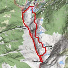
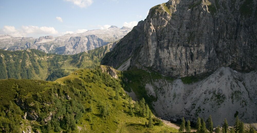
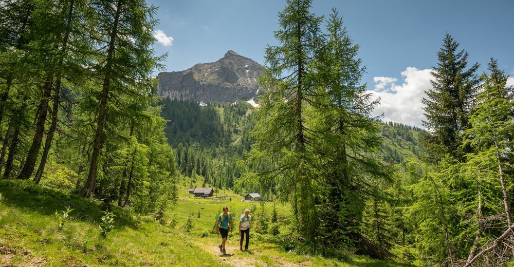
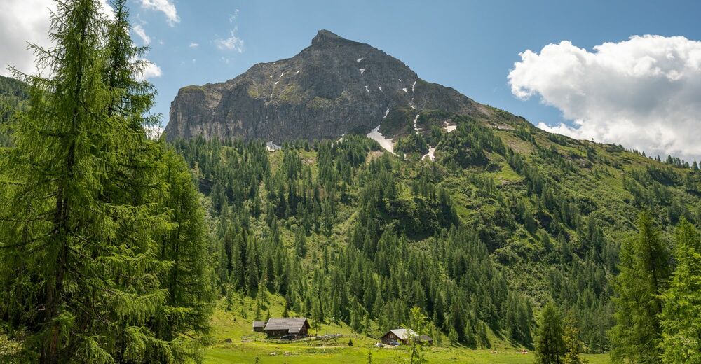
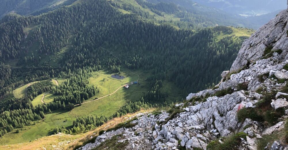
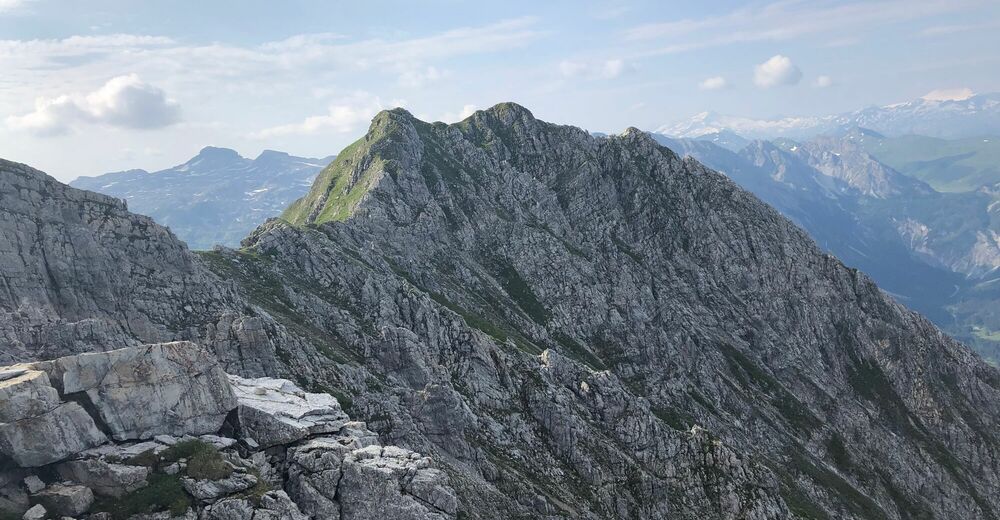
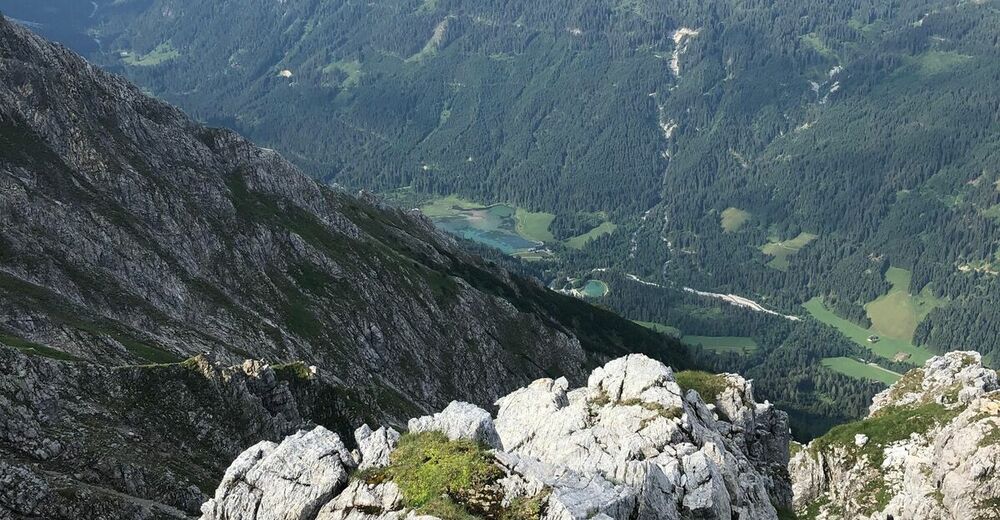
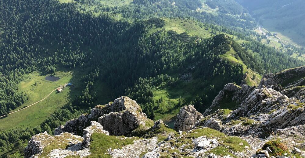
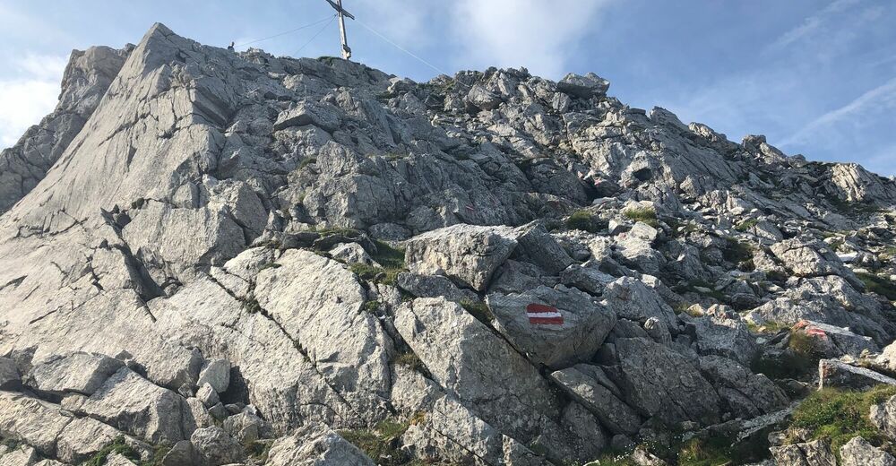
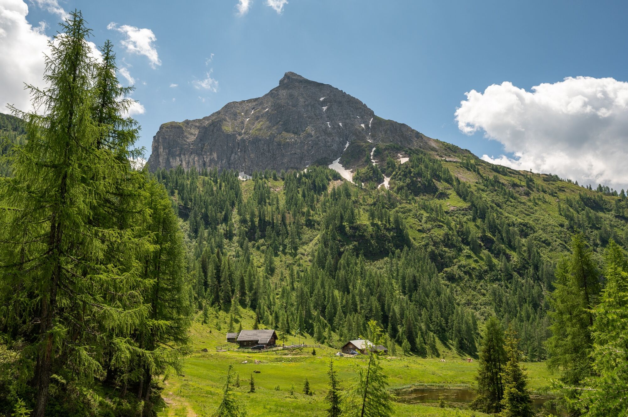
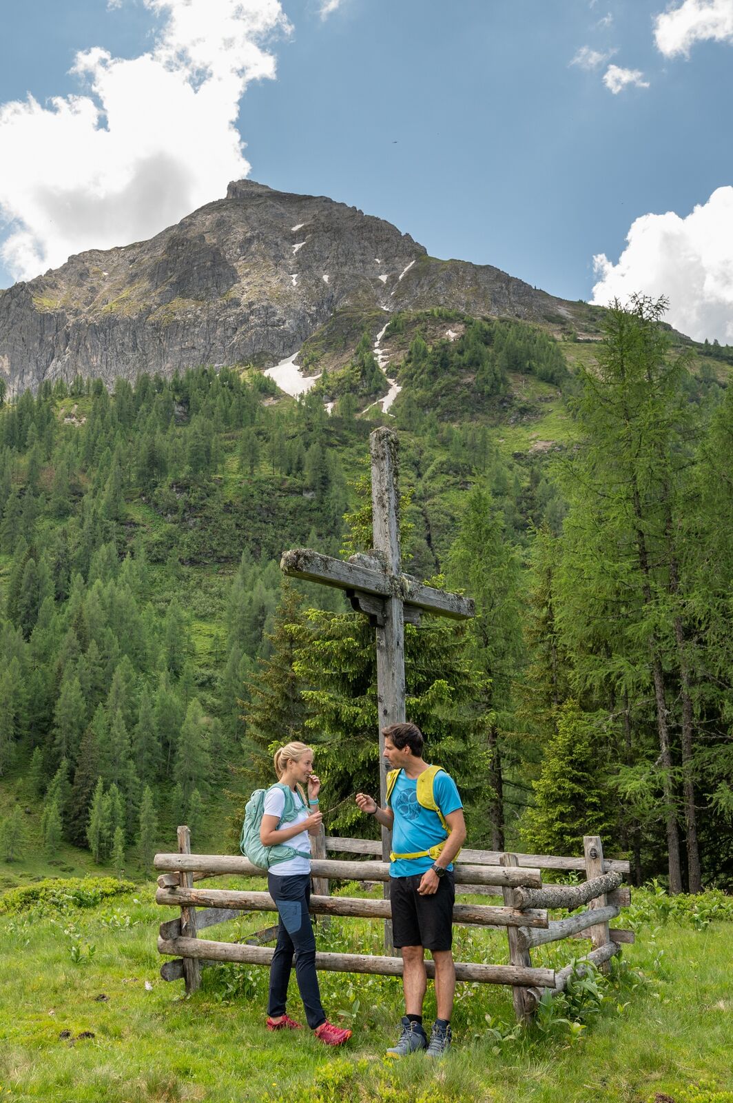
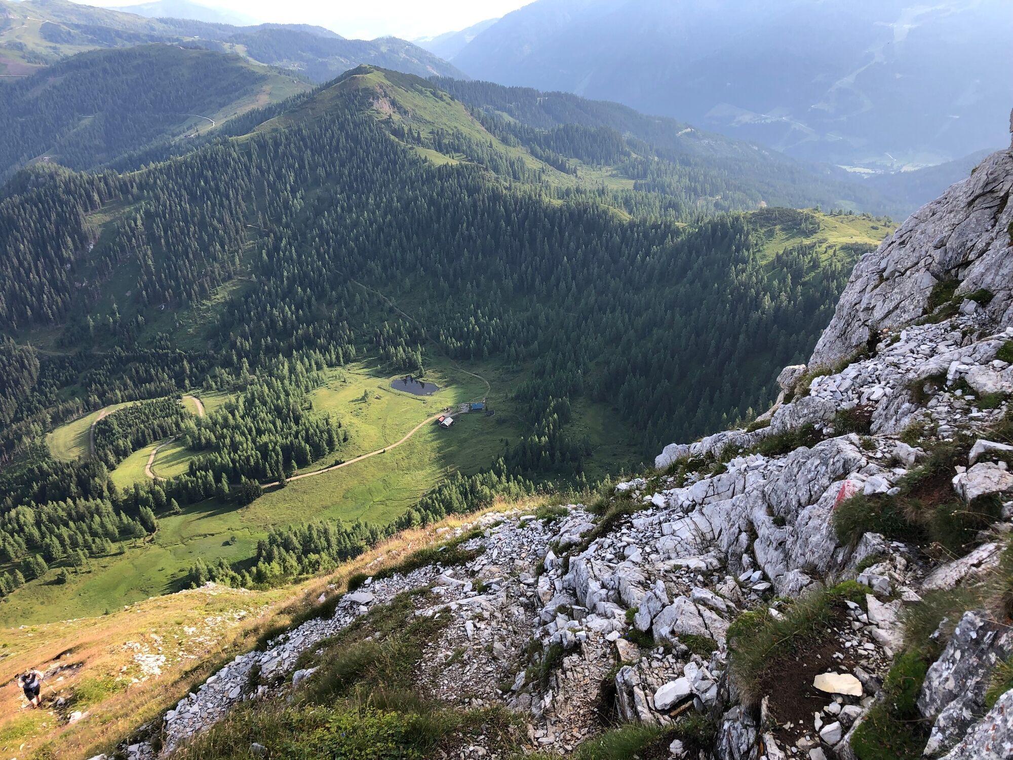
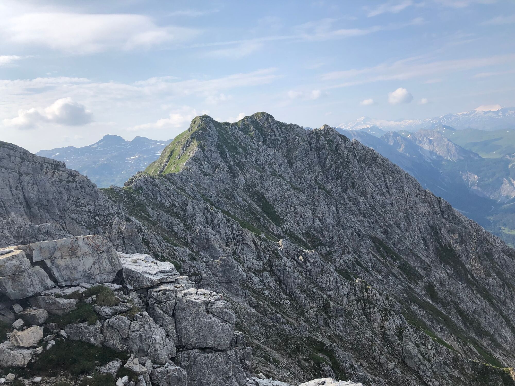
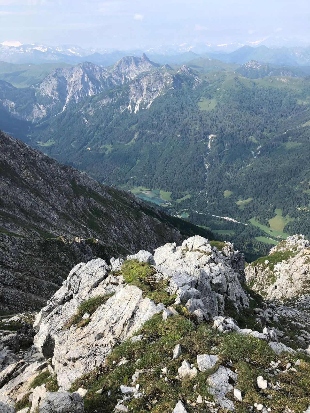
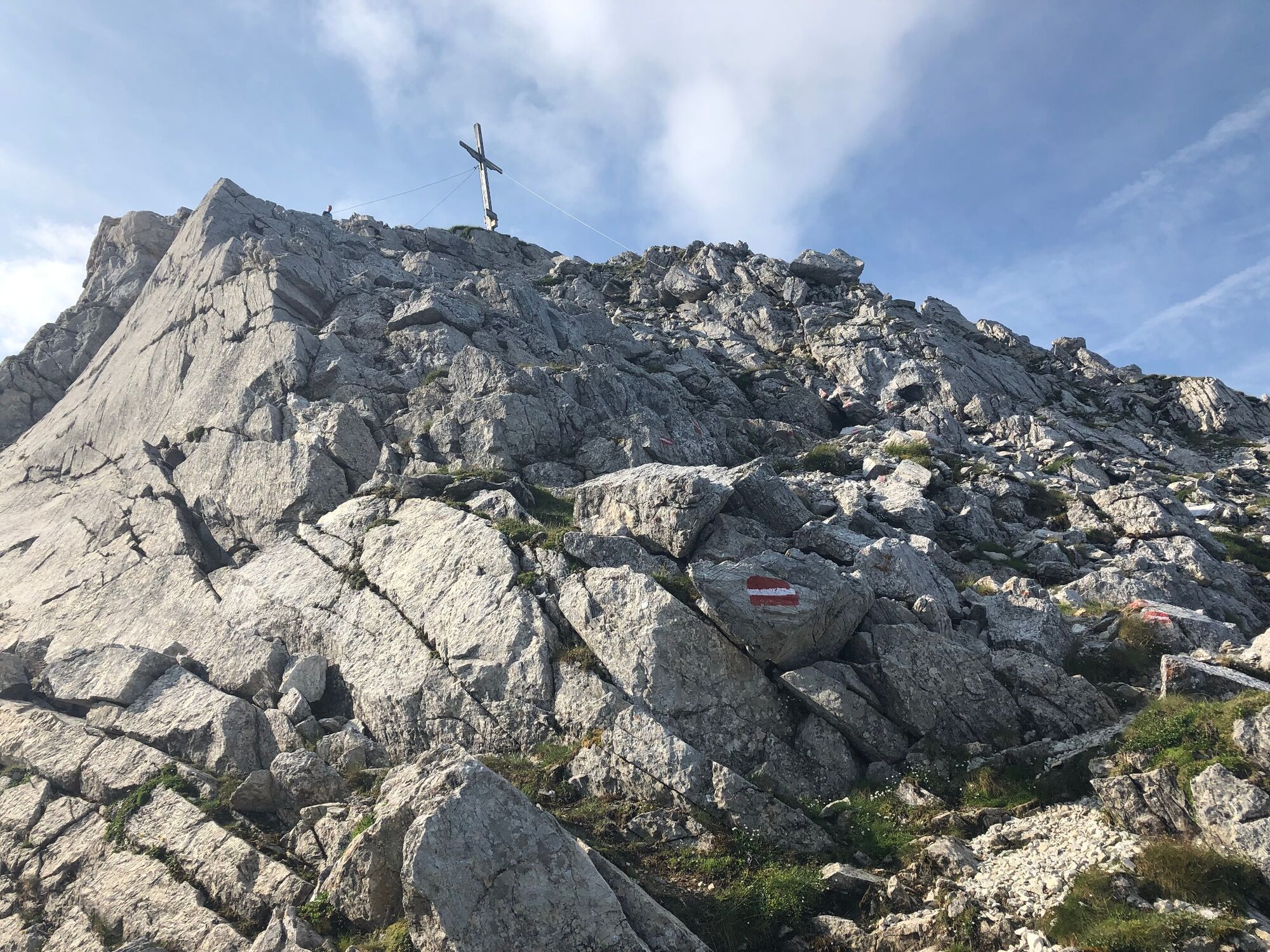
A varied mountain tour across meadows and through the forest, past the Steinkaralm to the Blue Lake. From there on the rock face, the following climb in easy scrambling to the summit.
- Difficulté
-
difficile
- Évaluation
-
- Parcours
-
Kleinarl0,0 kmPfarrkirche zum hl. Laurentius0,1 kmSteinkarhütten4,6 kmEnnskraxn (2.410 m)7,3 kmSteinkaralm9,9 kmPfarrkirche zum hl. Laurentius14,4 kmKleinarl14,6 km
- Meilleure saison
-
janv.févr.marsavrilmaijuinjuil.aoûtsept.oct.nov.déc.
- Hauteur maximale
- 2.346 m
- Point de mire
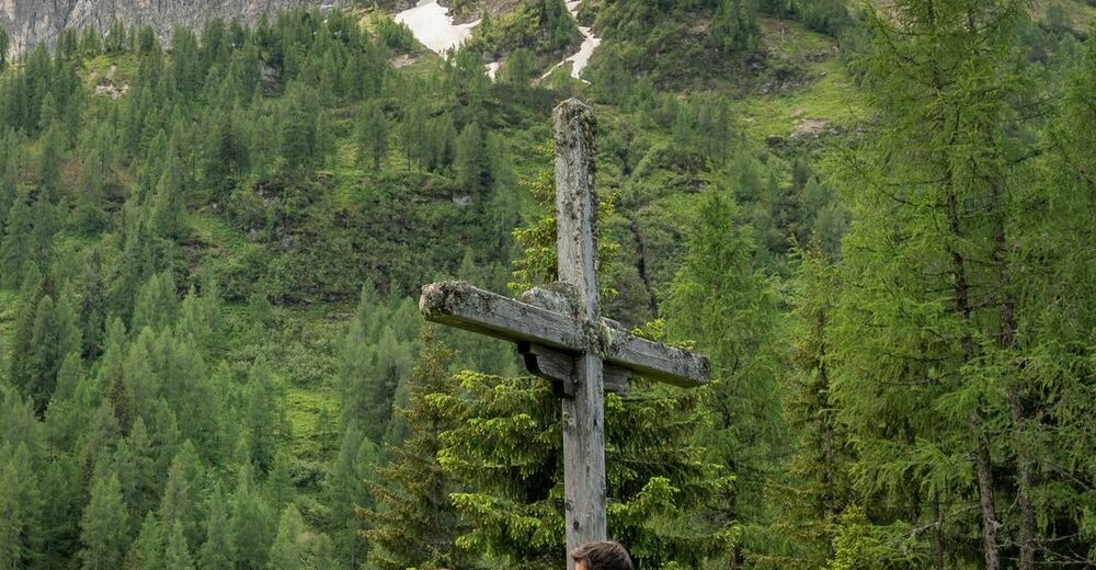
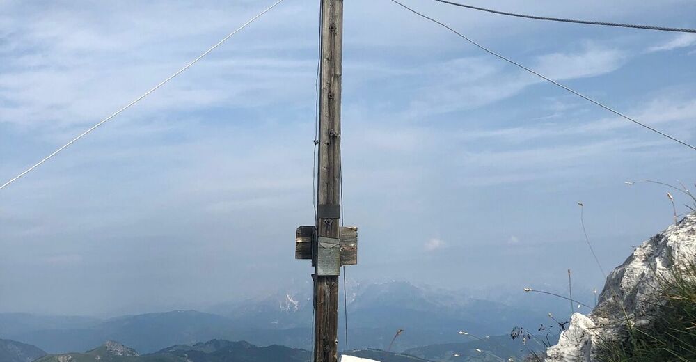
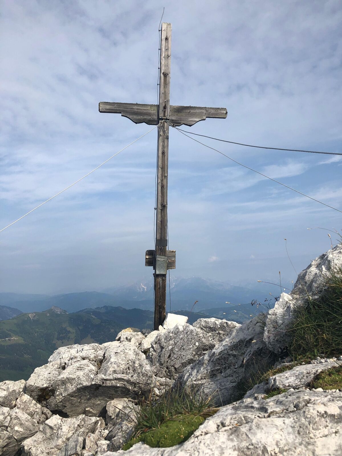
-
summit cross Ennskraxn (2410m)
- Profil en hauteur
-


- Auteur
-
La randonnée Ennskraxn (2410m) est utilisé par outdooractive.com fourni par.
GPS Downloads


Autres parcours dans les régions