


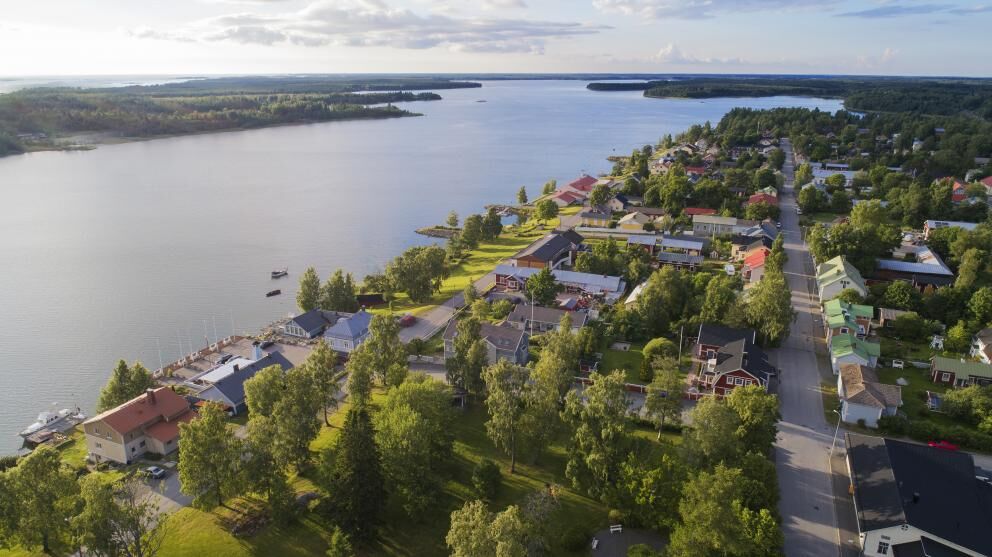
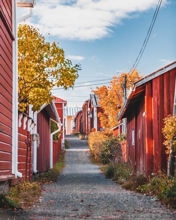
St Olav Ostrobothnia (S) 3/10, Kristinestad-Kaskö
A relatively long but easy stage on asphalt and gravel roads between two old wooden town centres.
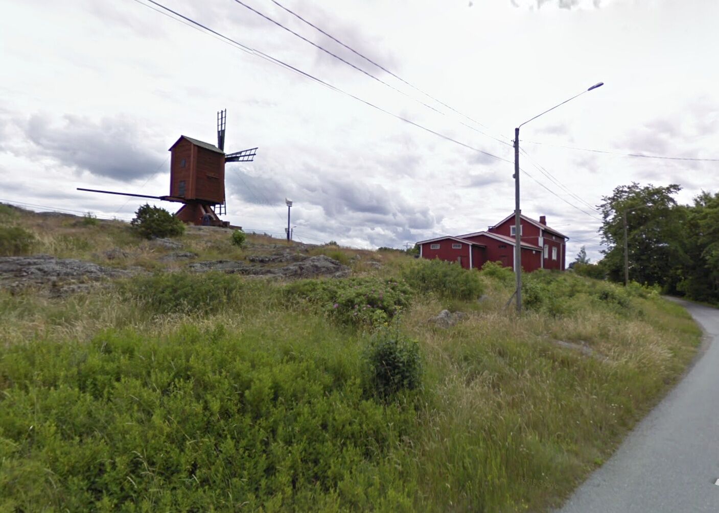
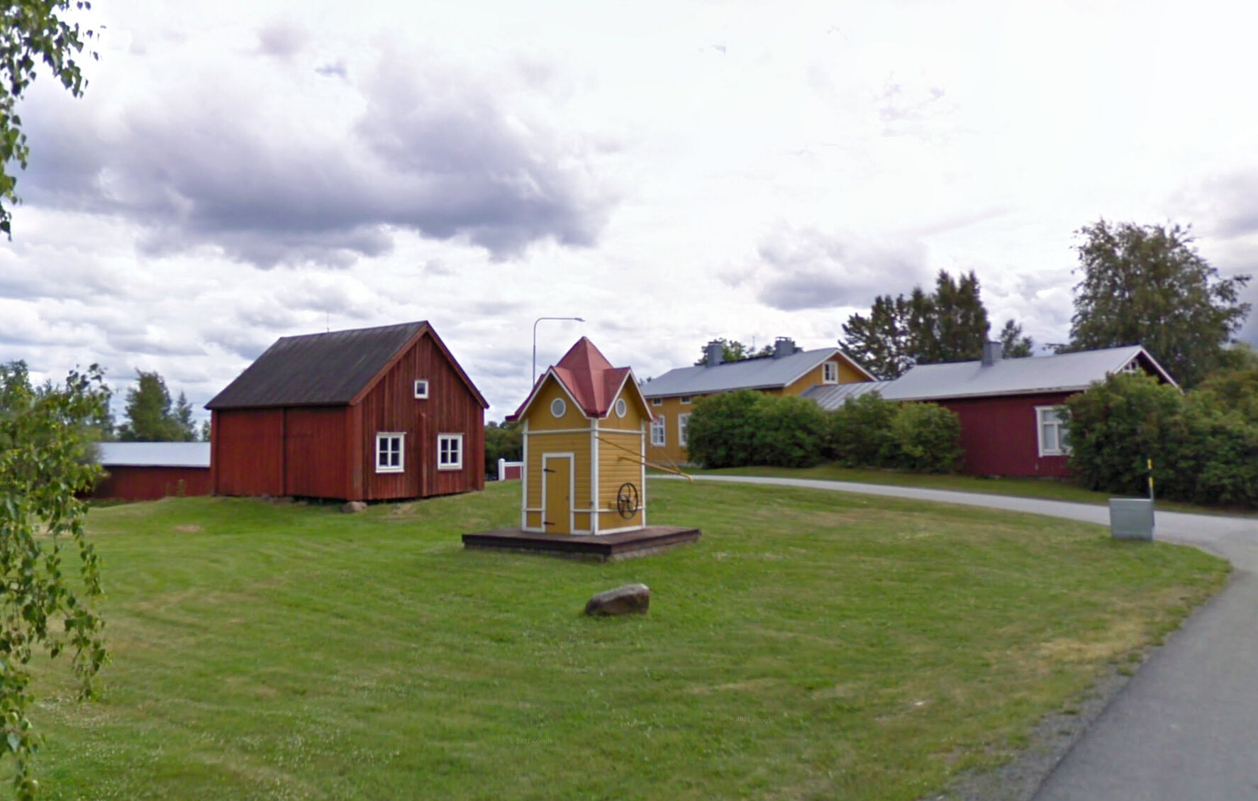
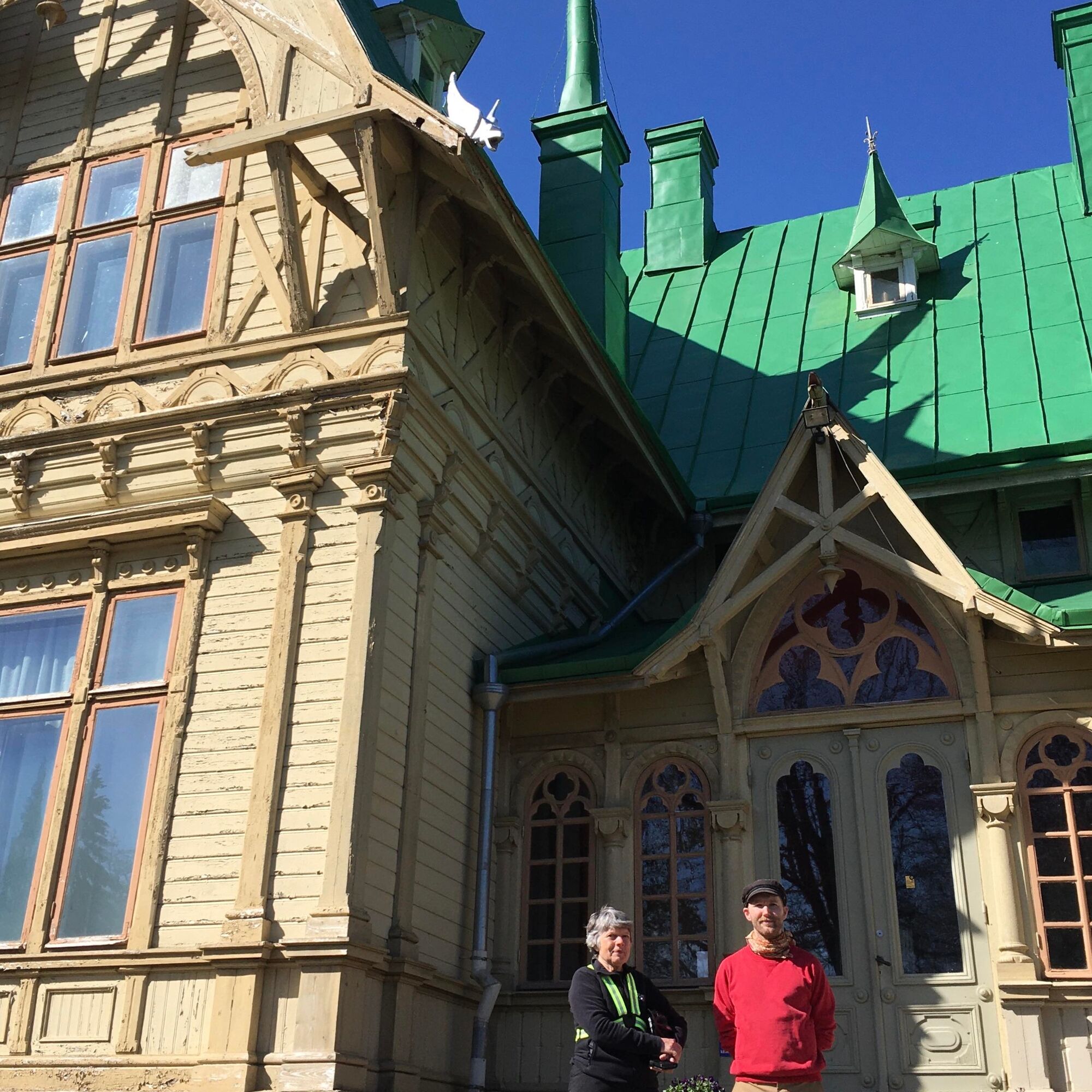
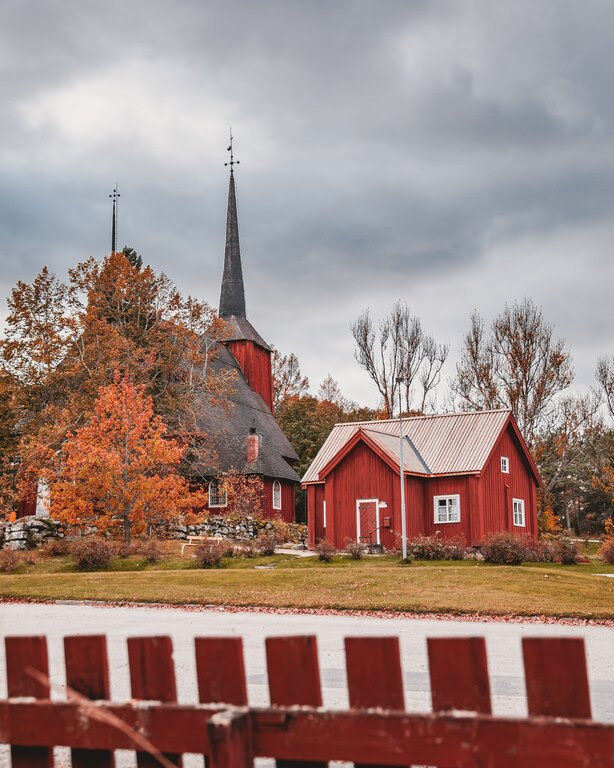
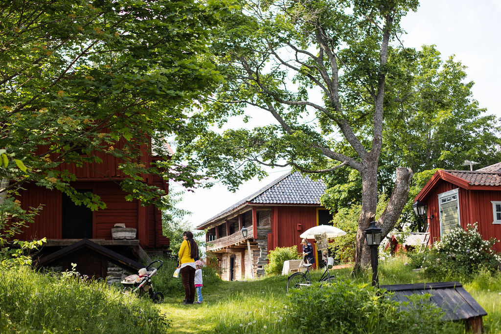
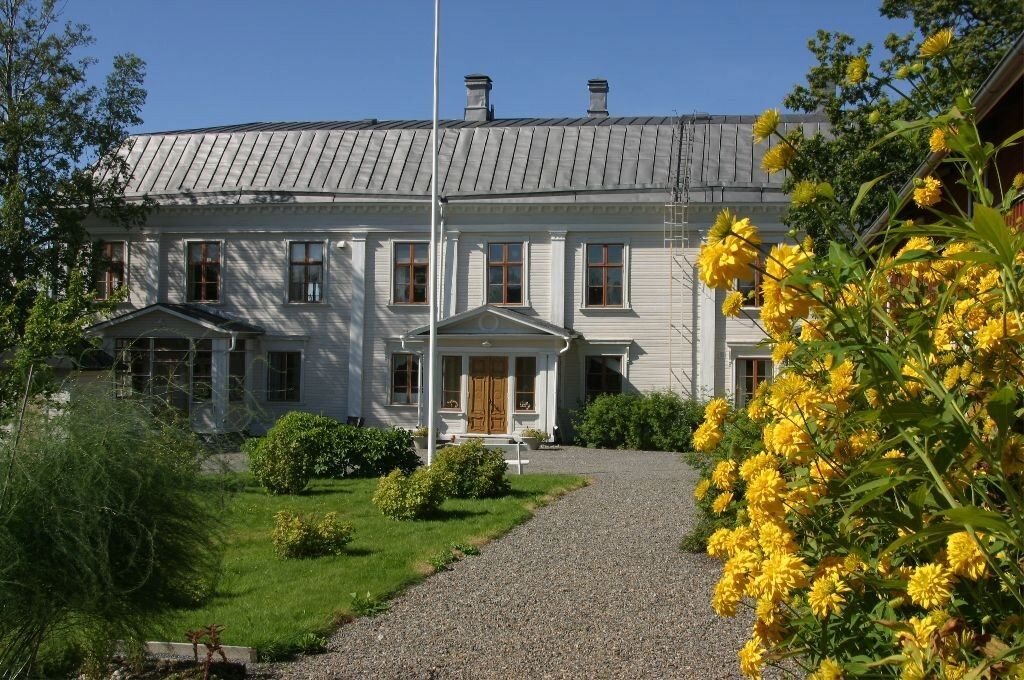
The trail out of Kristinestad passes both of the town's churches (you can also start via Västa Långgatan...
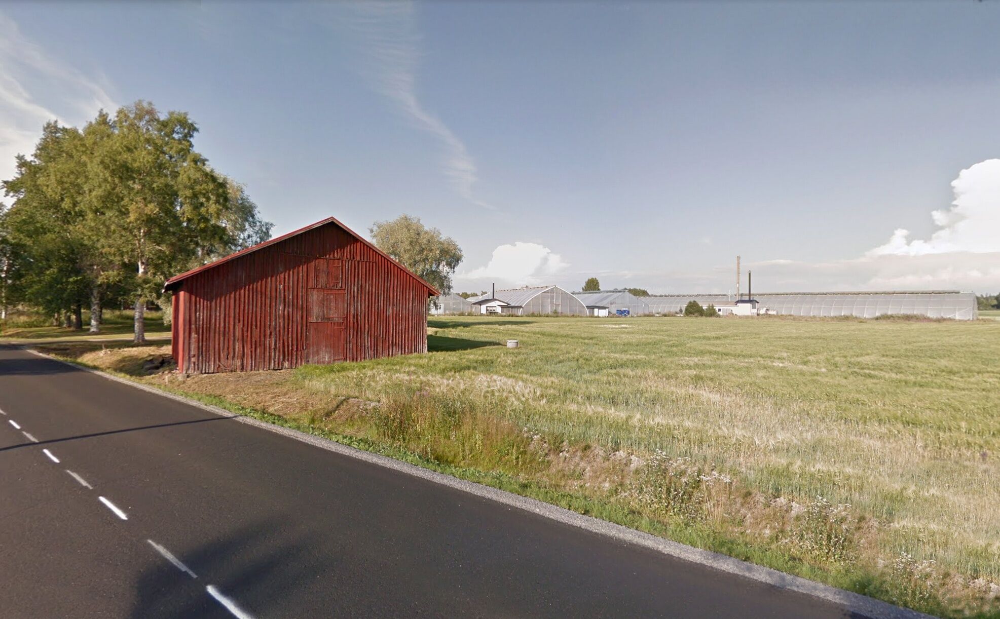
The trail out of Kristinestad passes both of the town's churches (you can also start via Västa Långgatan and Kvarnberget). Continue north via Carlsro museum, at about 5.5 km from the start, then over to Skrattnäsvägen and continue walking north, on asphalt. After almost 10 km you reach the village of Pjelax, where there is a shop-lunch restaurant.
From Pjelax, the trail turns left along Kristinestadsvägen and after about 1 km crosses Nya Kaskövägen, road 67.
NOTE: the following section via Ståbacka and Kaldnäsvägen (forest road) is about 2 km longer than if you were to follow Nya Kaskövägen towards the city. This detour is an alternative for the heavily trafficked Kaskövägen.
After just over 3 km along Kaskövägen, the trail turns right, on smaller paths and streets towards the city.
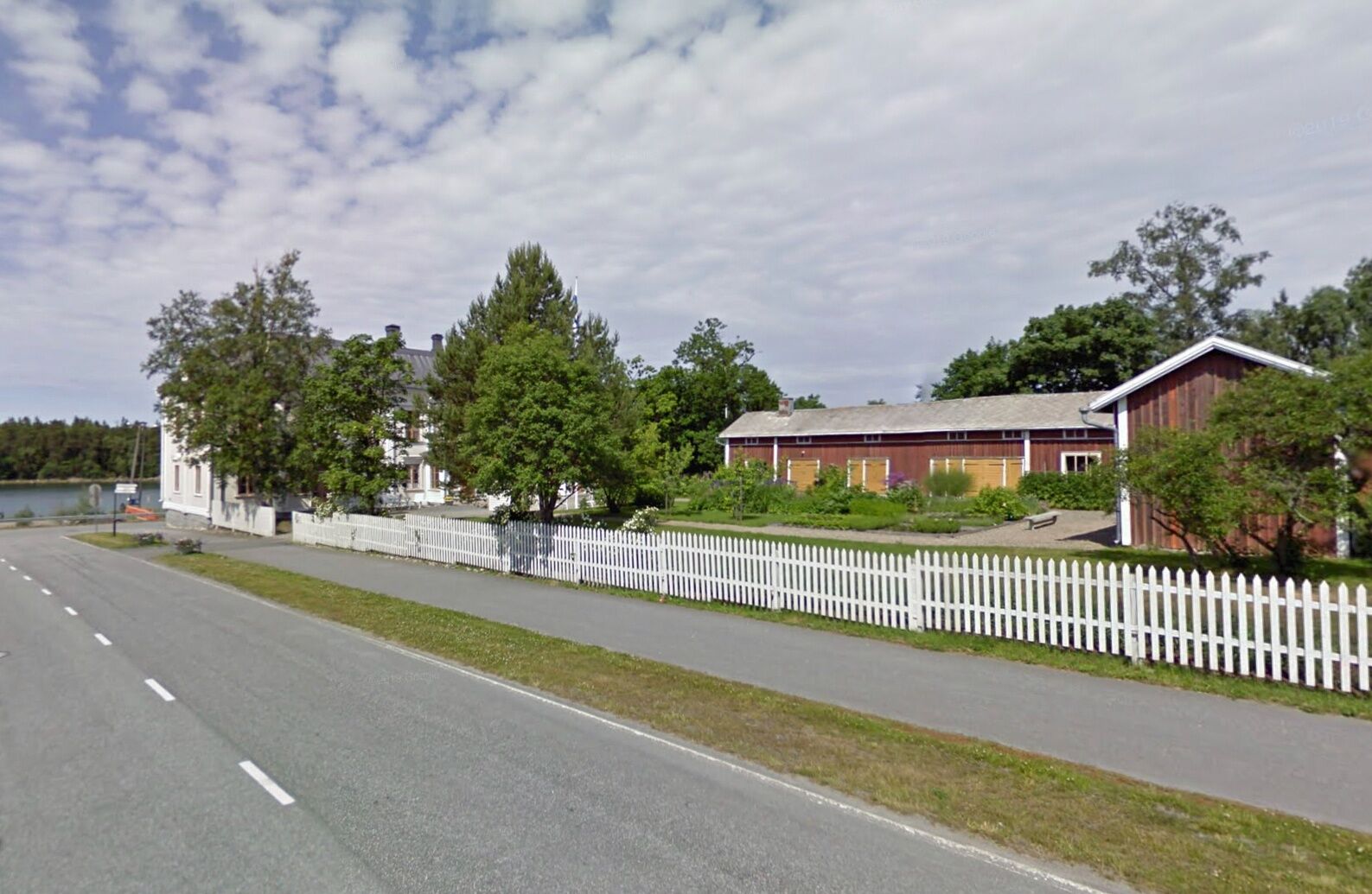
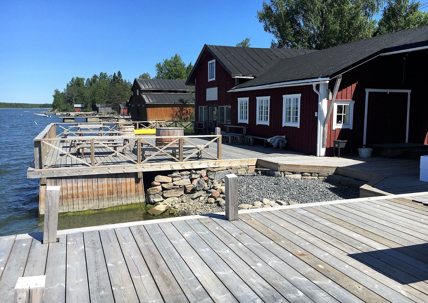
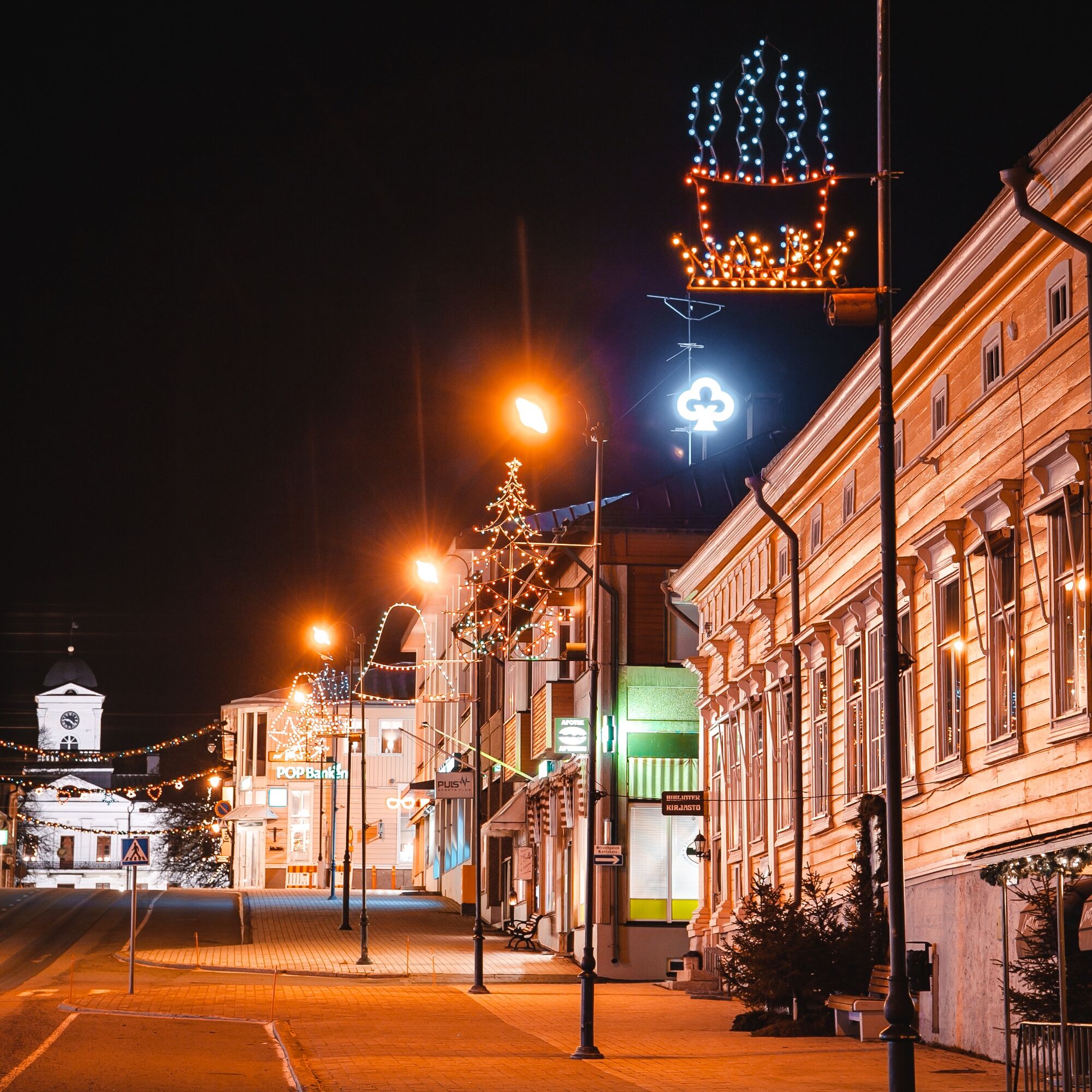
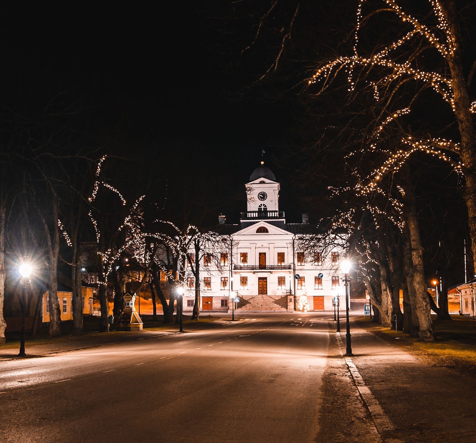
INFO KASKINEN
Grocery store: Sale
Hotel Kaske
Blå Stunden (restaurant, accommodation)
Mariestrands Camping


Parcours populaires à proximité
-
Cittago
moyenFaire du vélo 13,9 km -
Murgrund and Österskäret
Kayak / Canoë 16,4 km -
Skatan Tour
Kayak / Canoë 13,6 km -
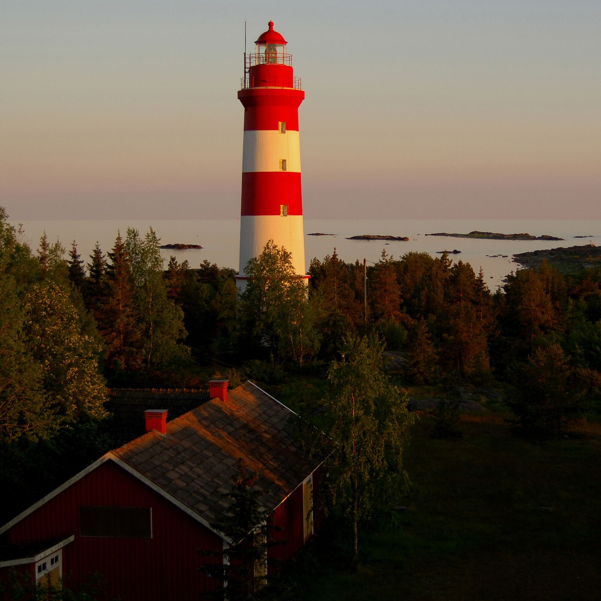
St Olav Ostrobothnia (S) 4/10, Kaskö-Närpes
Chemin de pèlerinage 16,5 km -
Blue Trail
Randonnée 3,65 km -
Sentier naturel de Tegelbruksbacken-Norrfjärden
facileRandonnée 8,85 km -
Cittaslow-parcours
moyenFaire du vélo 21,0 km -
Karhuneva Trail
Randonnée 5,14 km -
Vilgrund and Haahkaluoto
Kayak / Canoë 12,6 km -
Antila Route
Kayak / Canoë 12,4 km

Randonnée et suivi


Ne manquez pas les offres et l'inspiration pour vos prochaines vacances
Votre adresse électronique a été ajouté à la liste de diffusion.