


Wiental Elsbeere Route
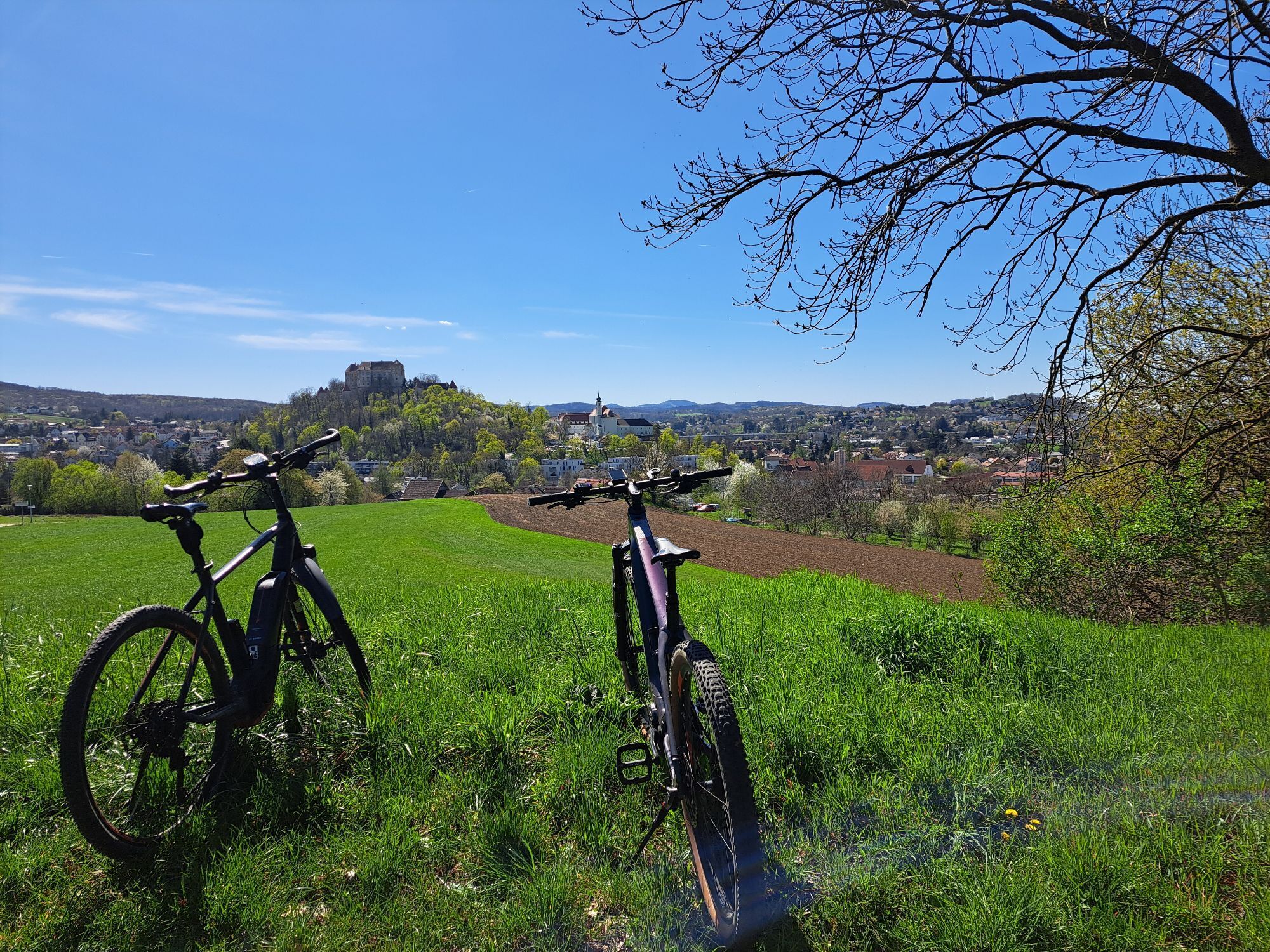


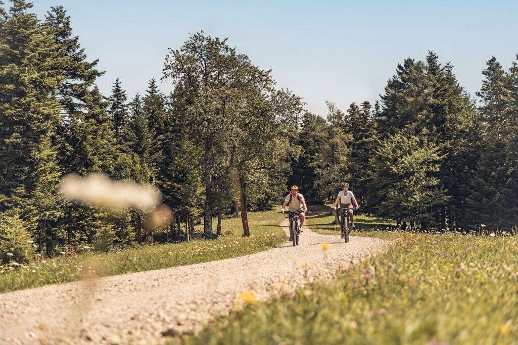
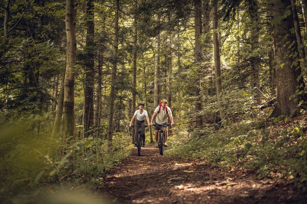
A very special bike tour with an "e-mountain bike"!
The Wiental Elsbeere Tour consists of 2 stages: if you have the appropriate sporty riding skills, you can take the Wiental Elsbeere Tour East or ride...
A very special bike tour with an "e-mountain bike"!
The Wiental Elsbeere Tour consists of 2 stages: if you have the appropriate sporty riding skills, you can take the Wiental Elsbeere Tour East or ride the entire route in one day! If you want to take it easy, choose the Wiental Elsbeere Tour West.
Wiental Wild Service Tree Tour East: "Sporty Wiental"
Wiental Wild Service Tree Tour West: "Enjoyable Wild Service Tree Vienna Woods Region"
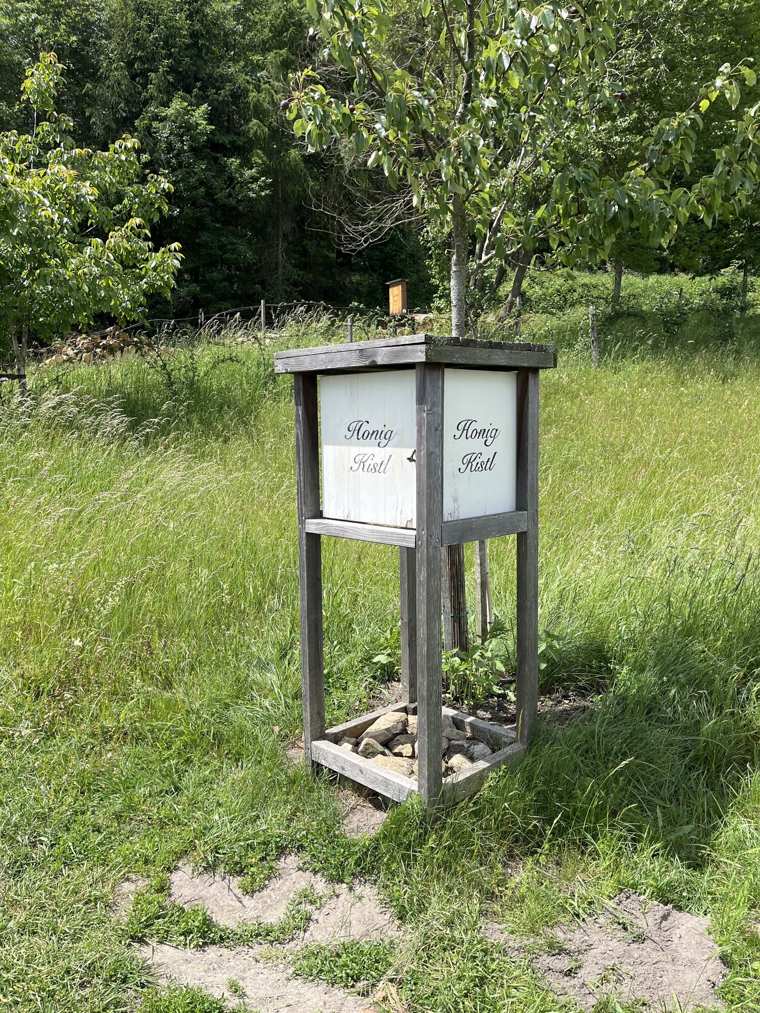
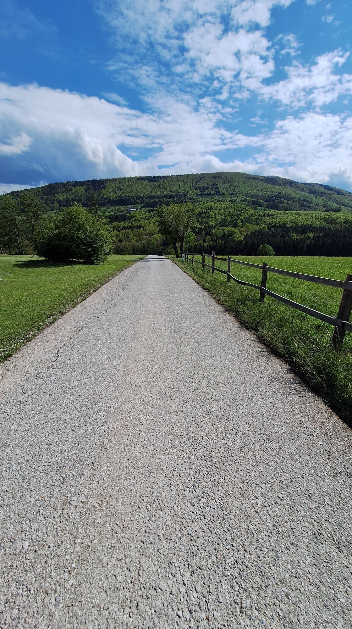
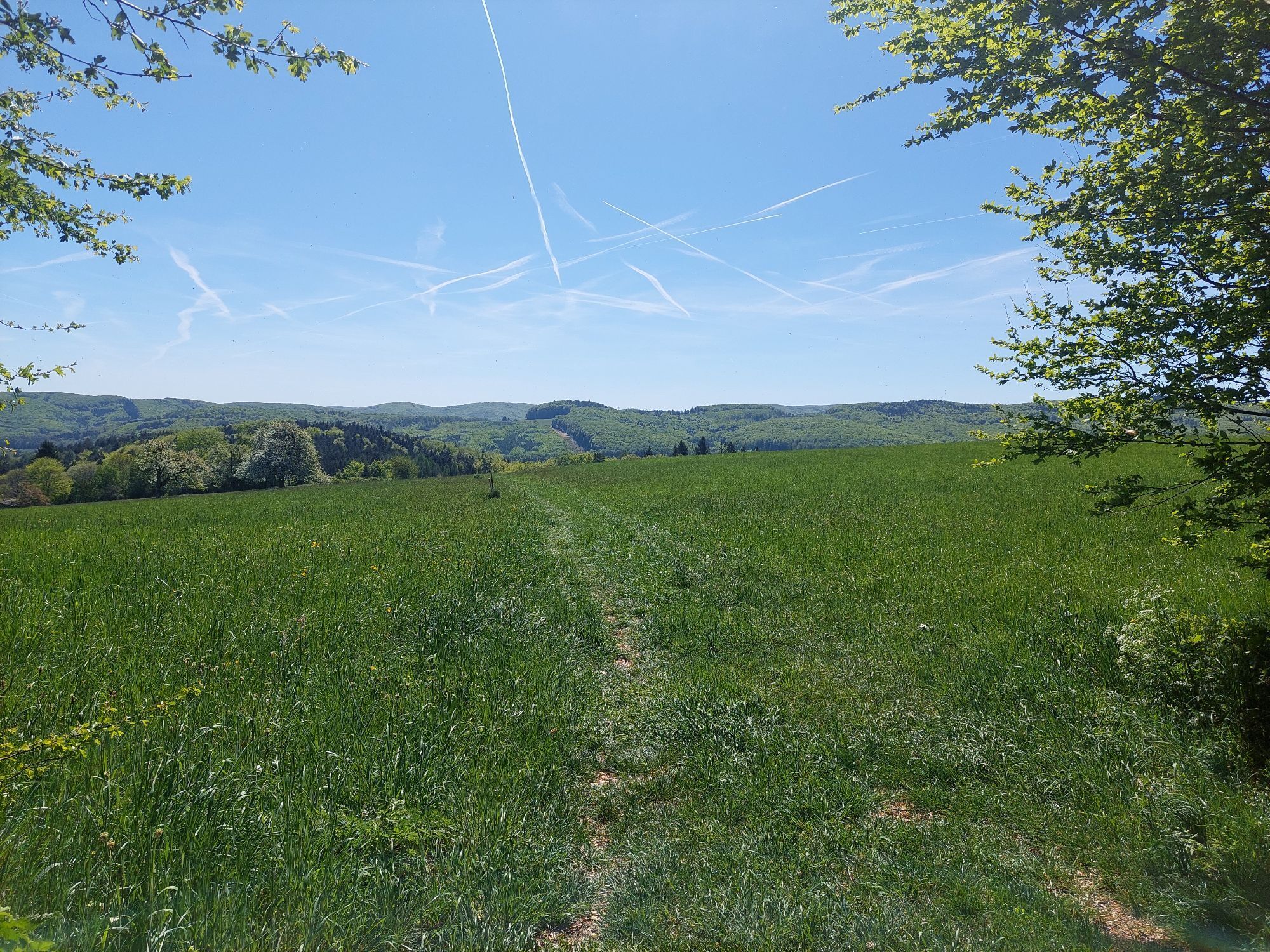
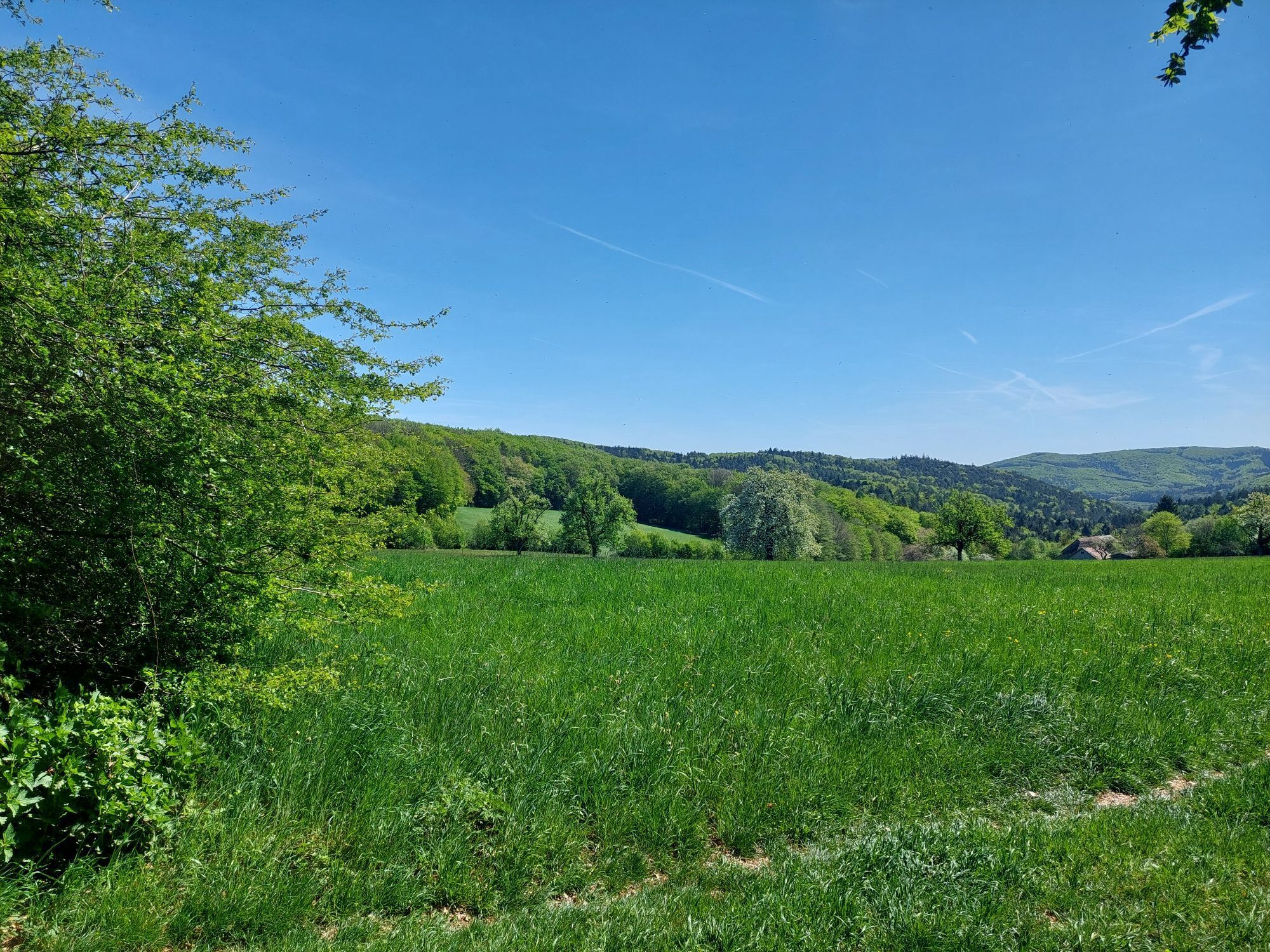
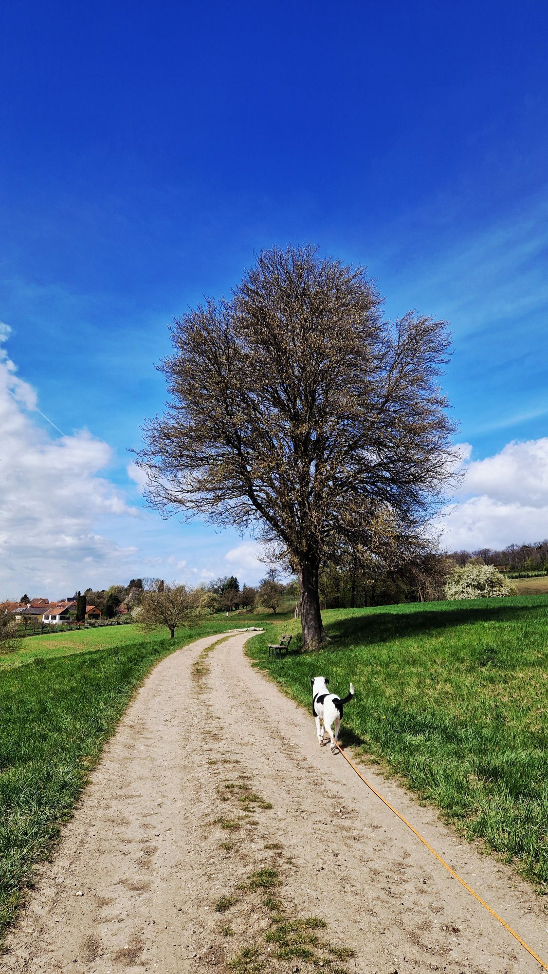
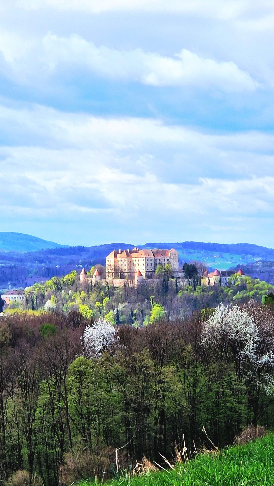
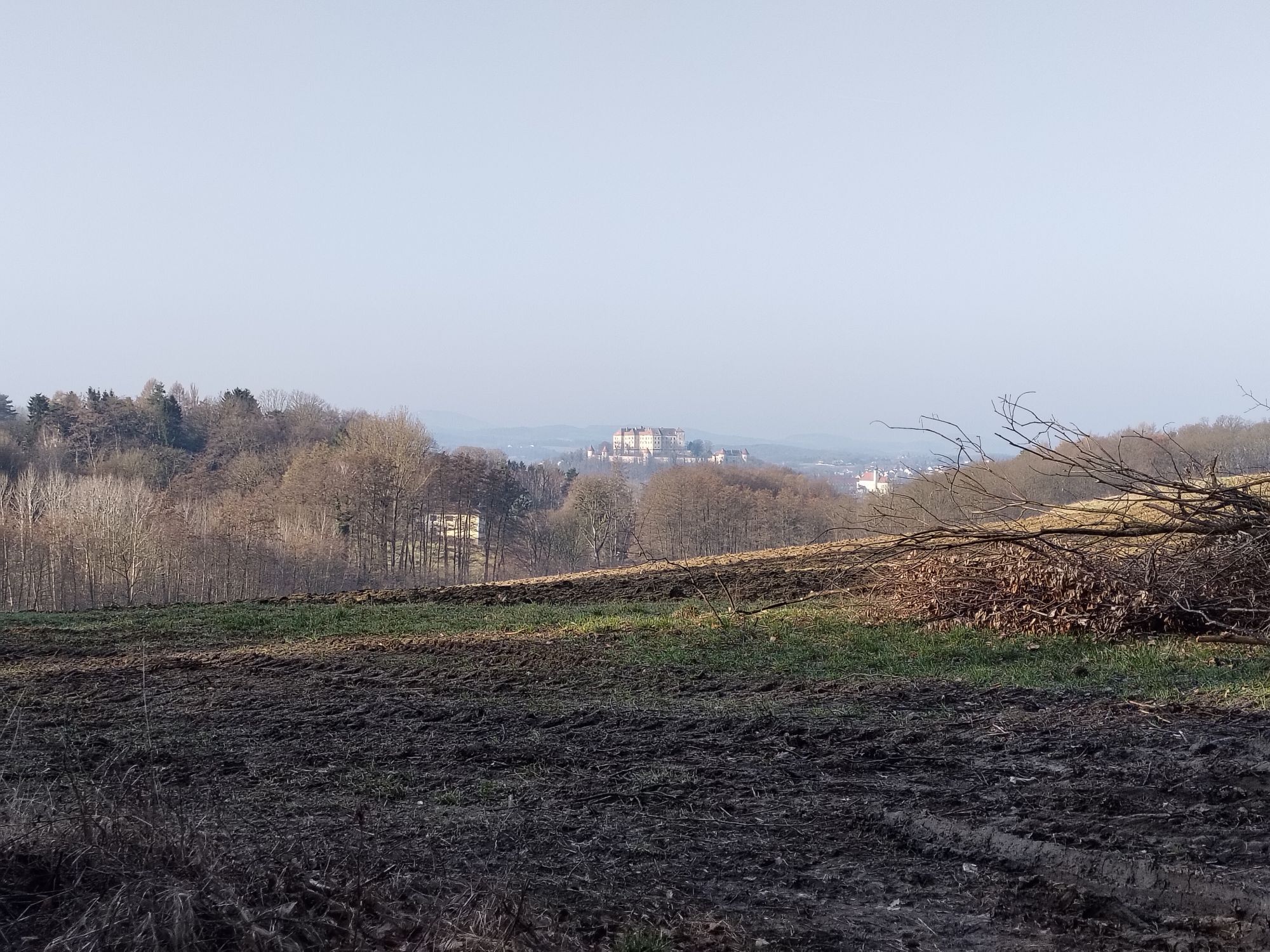
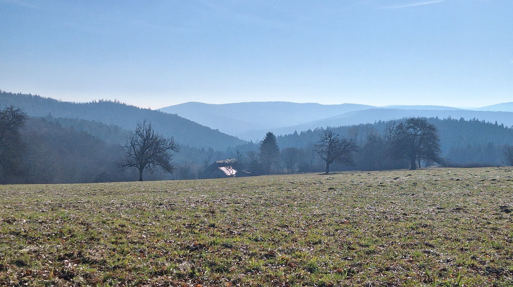
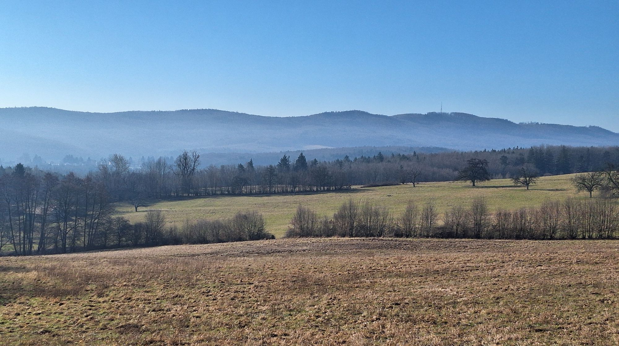
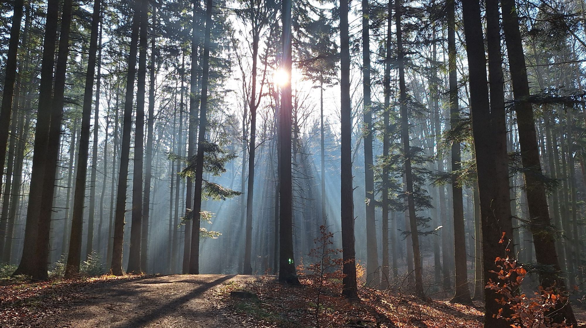
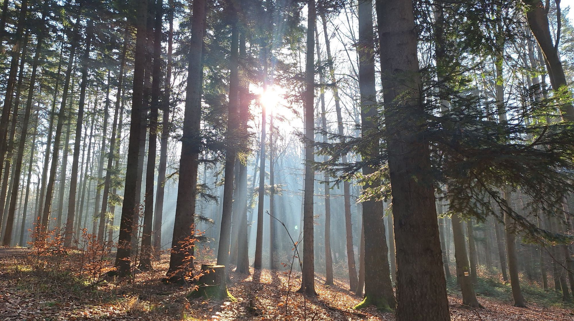
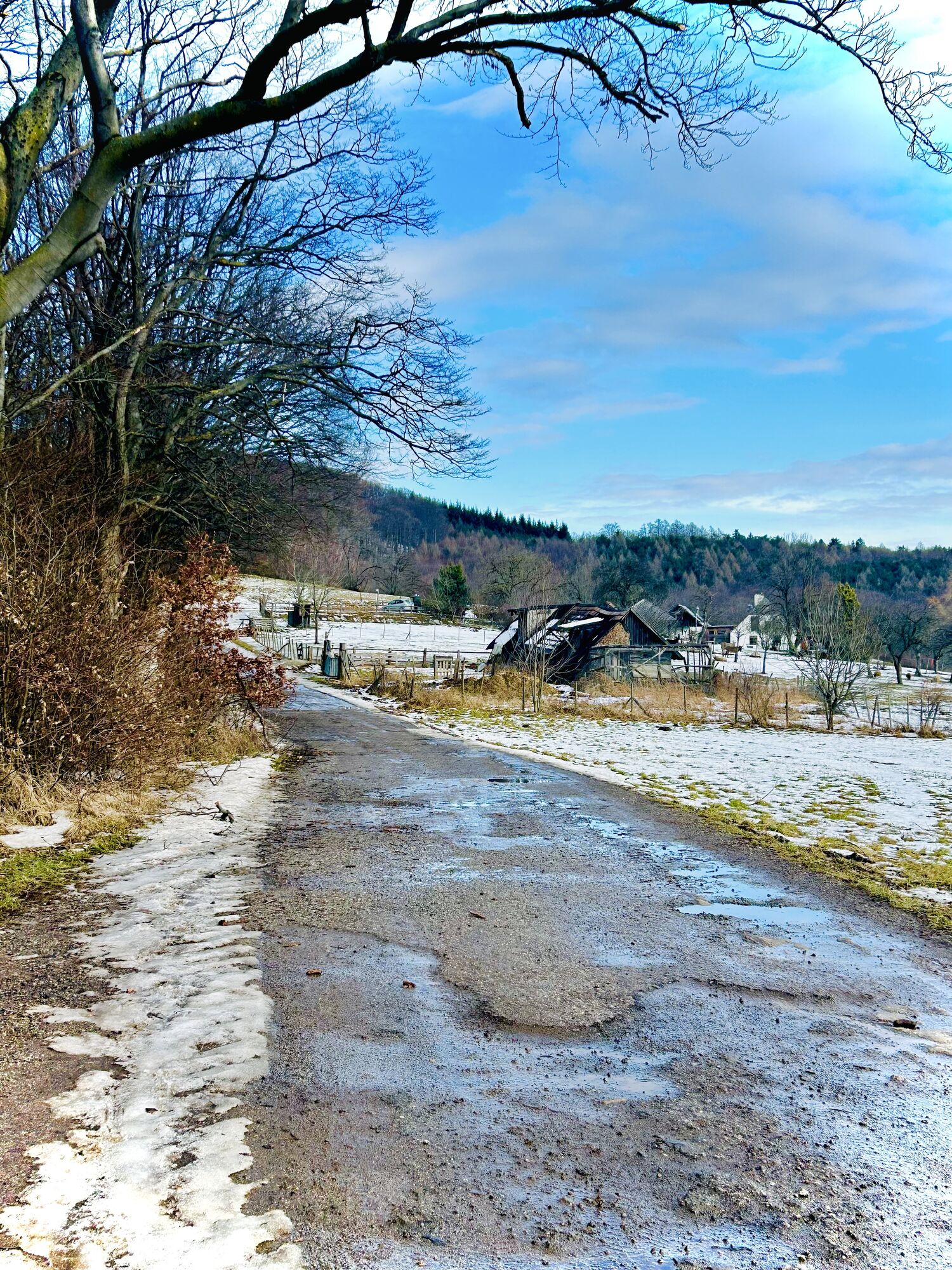
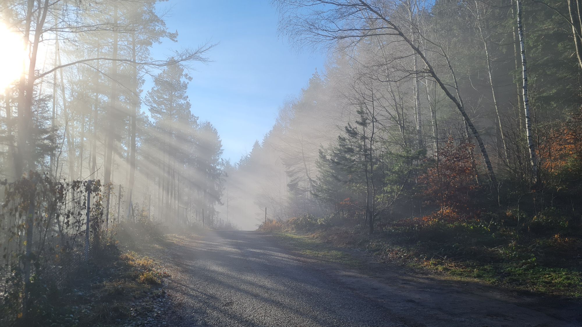
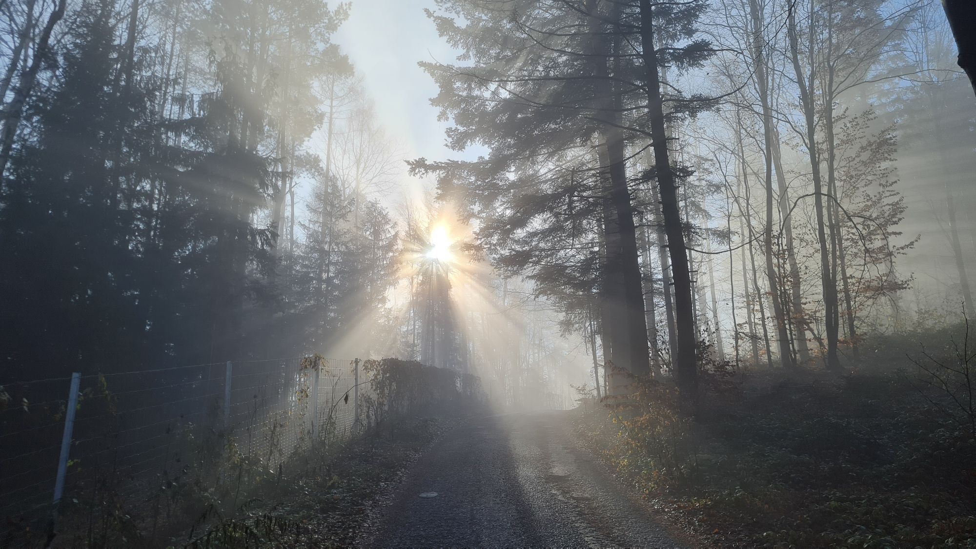
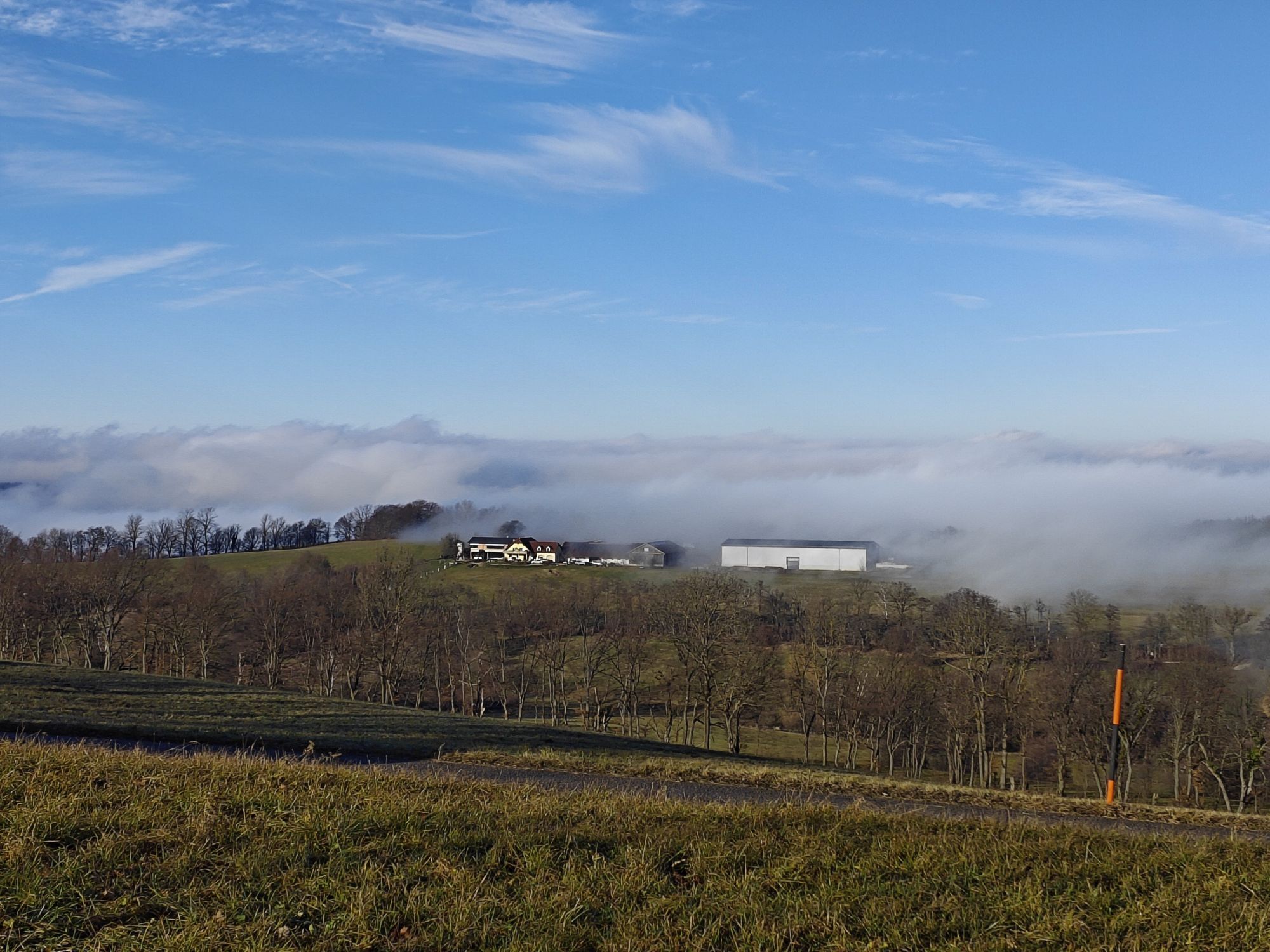
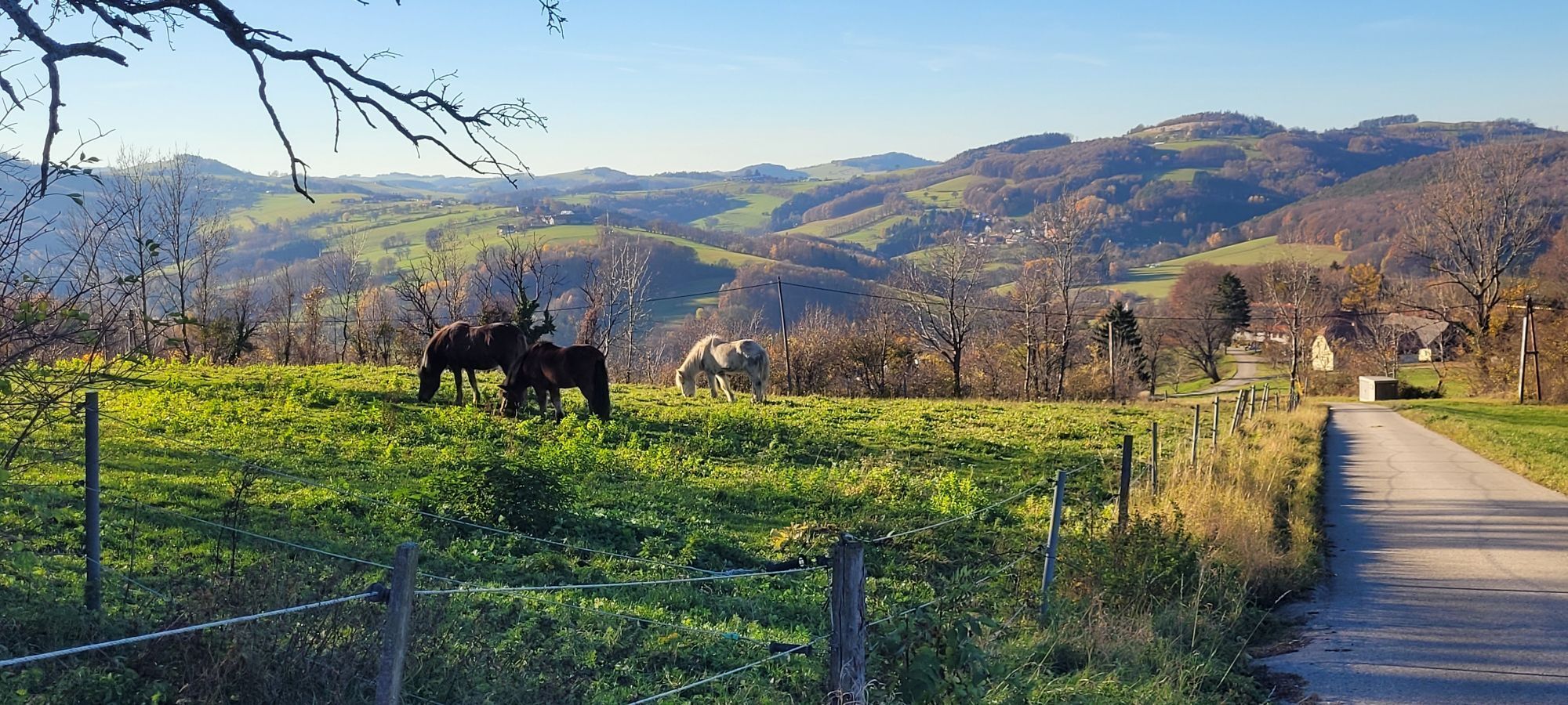
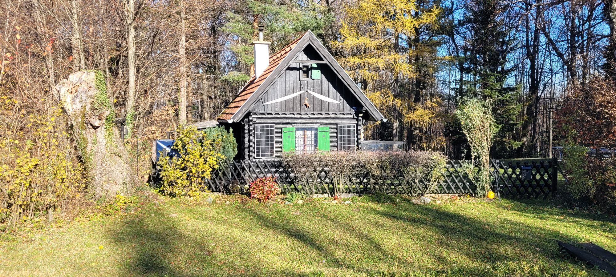
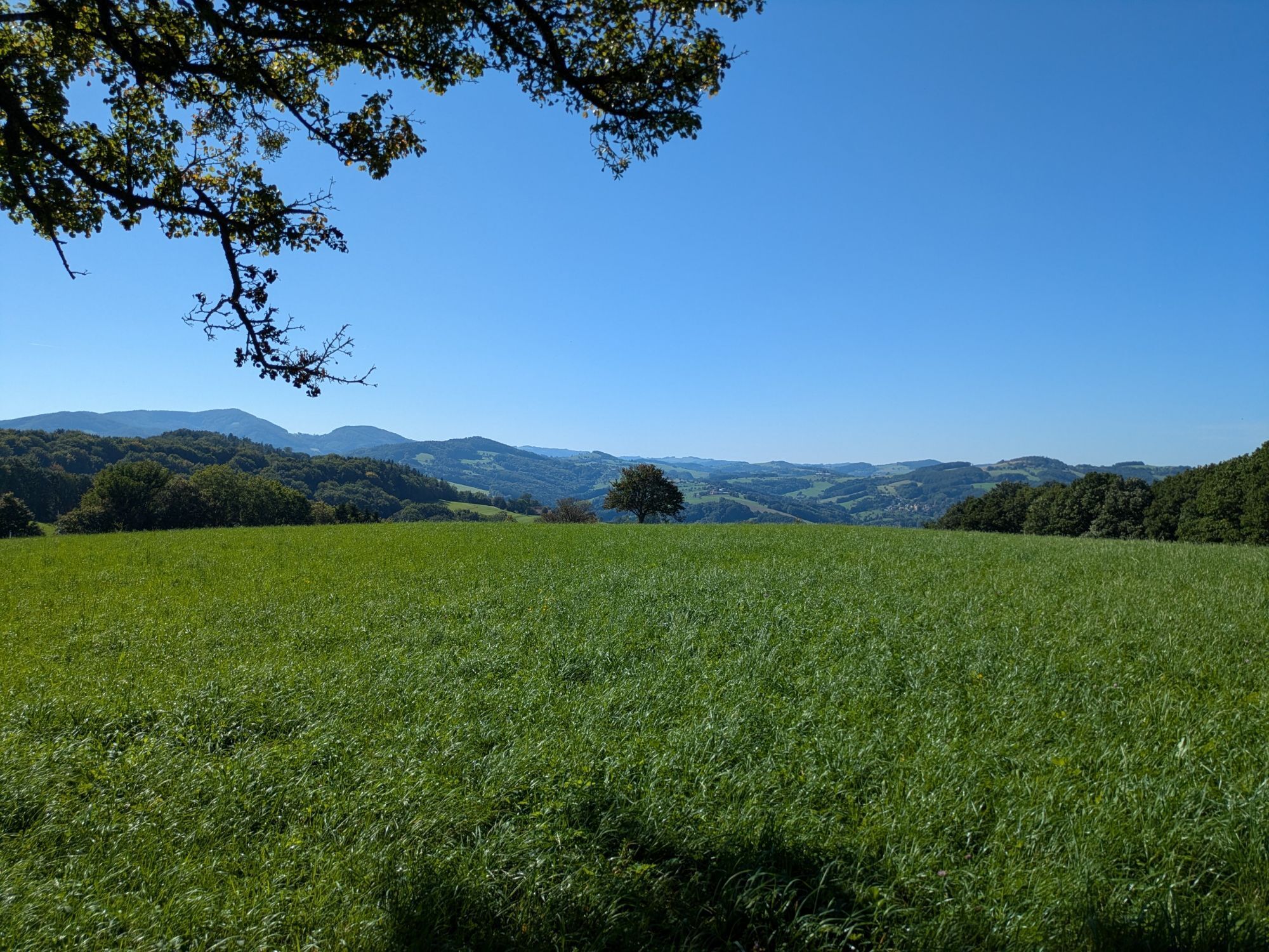
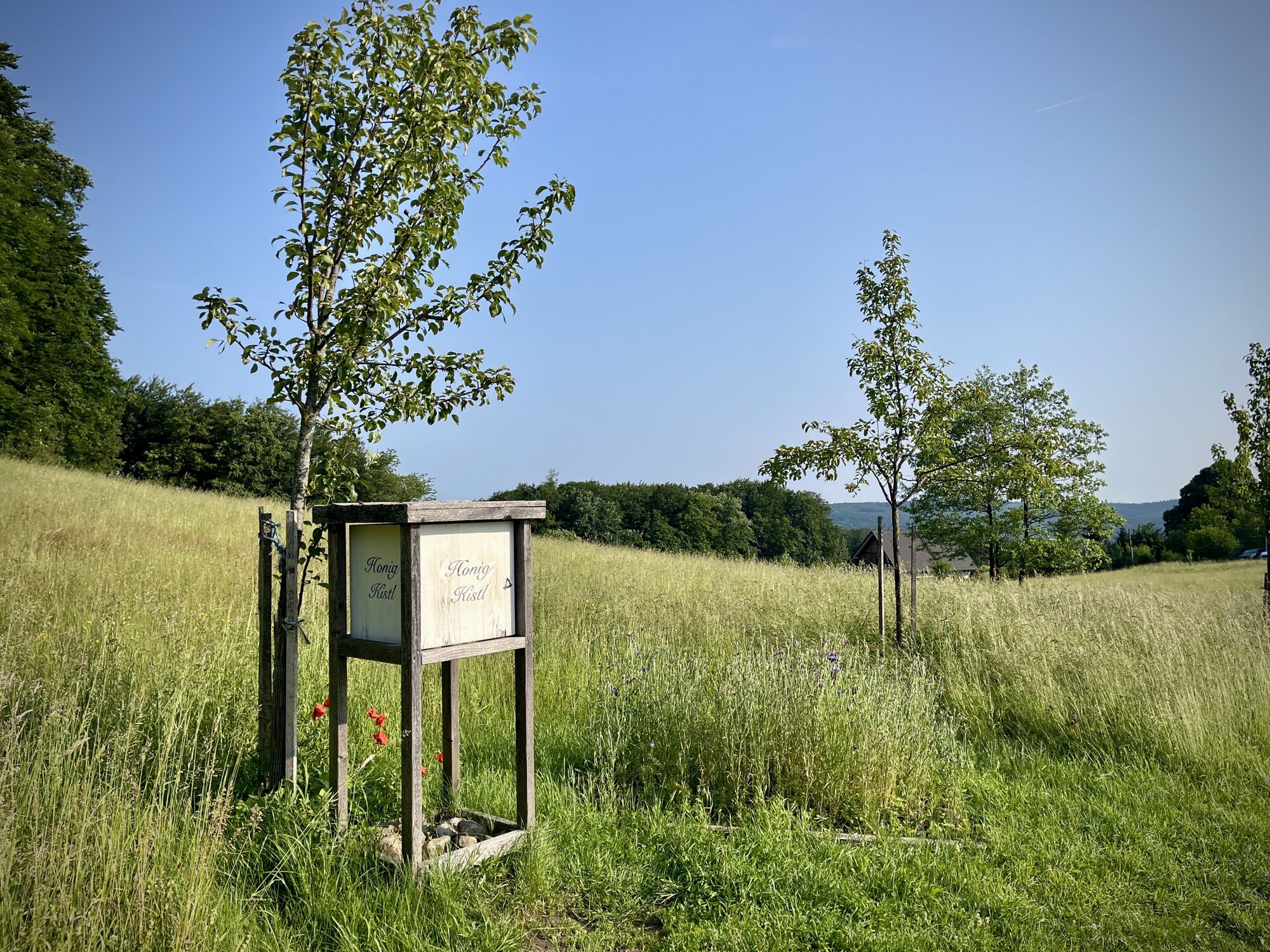
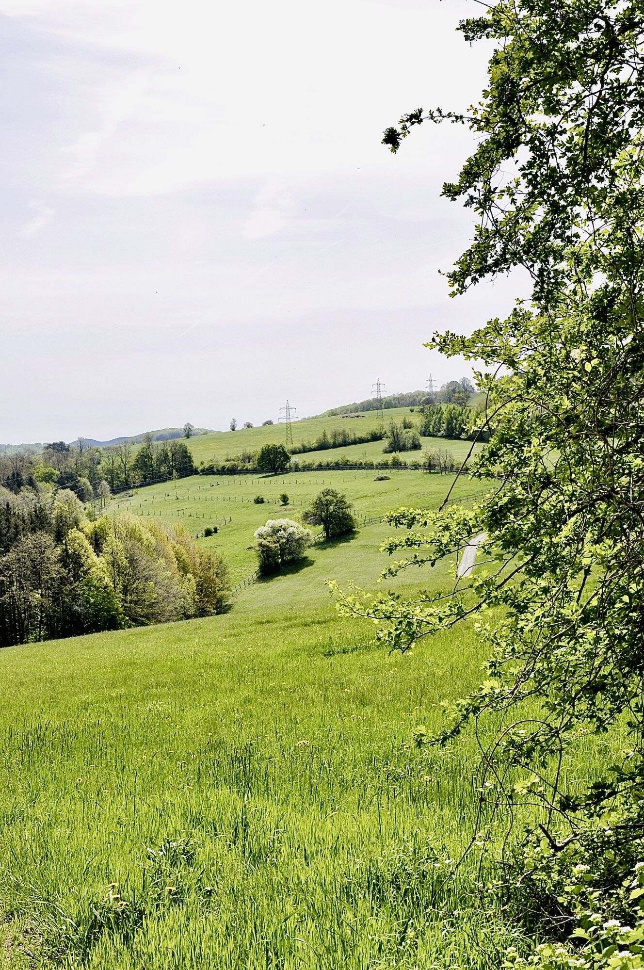
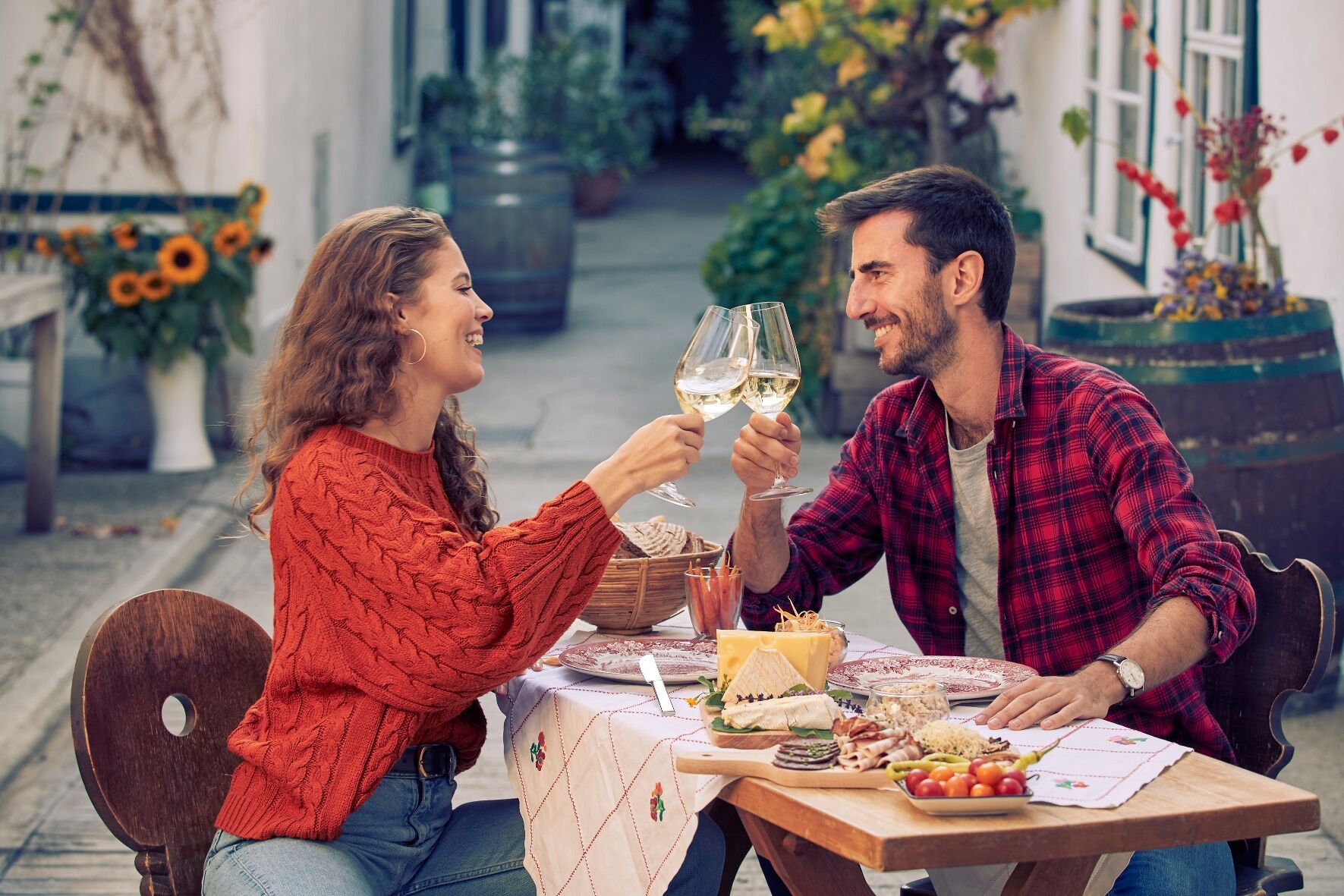
The ride through the western Vienna Woods scores with its unmistakable landscape with its endless forests and meadows and offers all pleasure cyclists the opportunity to get to know the typical inn culture in the Vienna Woods!
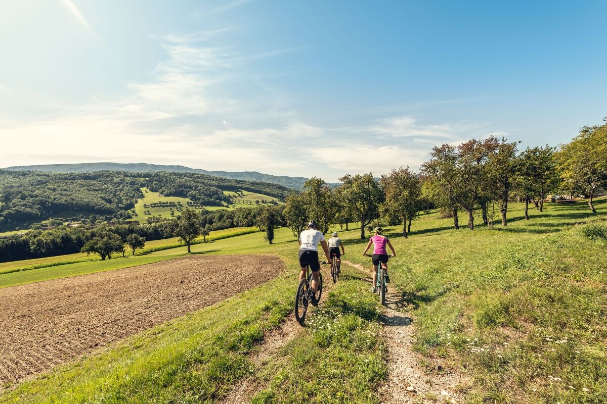
Highlights of the route:
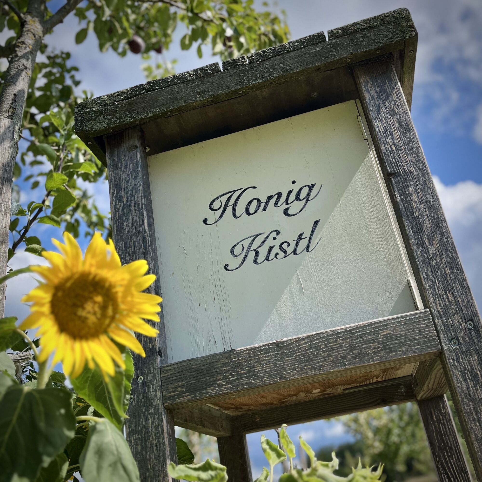
unmistakable deciduous forest area of the Vienna Woods Biosphere ReserveWide meadows typical of the Vienna Woodsattractive MTB trekking routestypical inns along the routeLEADER Region Elsbeere Wienerwald
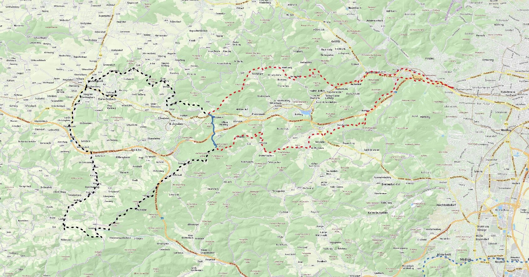
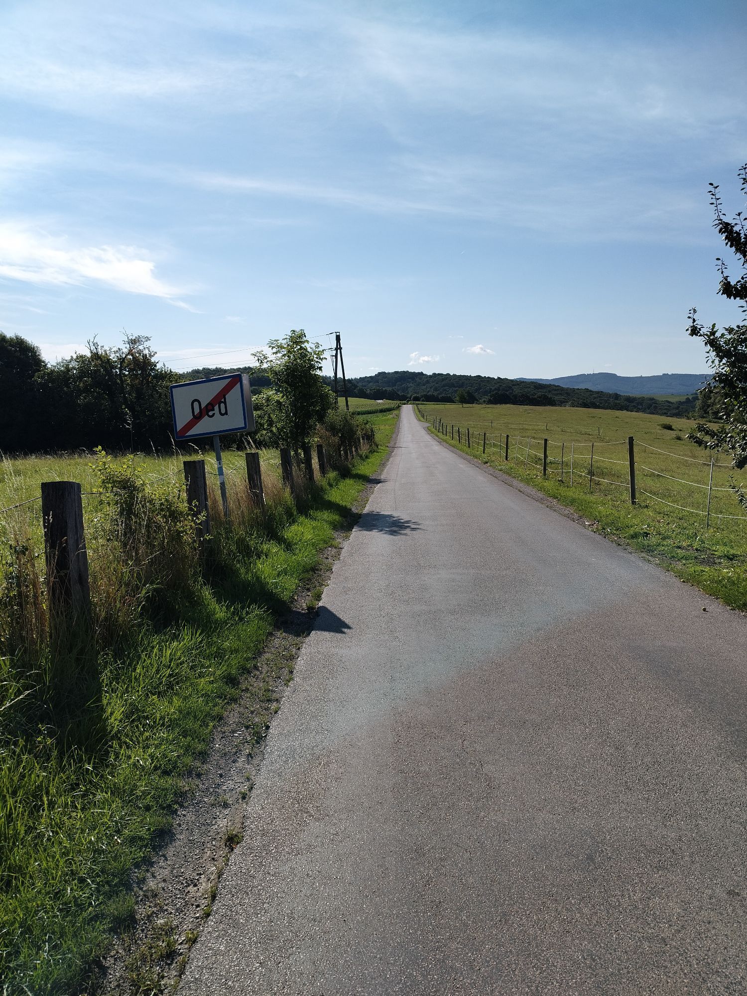
The start is at Hütteldorf station to Purkersdorf along the Wiental cycle path - along the Wien river - further around Sagberg to Irenental - continue on the road to Gasthof Mirli - from there over small and large Stiefelberg to Rekawinkel. Entire route continues in Rekawinkel via Rittsteiggasse to Römerstern. After a while turn left, then right and left again – follow the road to Neulengbach. In Neulengbach at BORG onto the Laabental cycle path towards Laaben. In Laaben shortly before Angemühle turn sharply left – follow L119 and take the second opportunity to turn right. Having turned right, follow the road straight ahead and at the next intersection turn sharply left again. This road leads to L110, turn right there and take the second opportunity turn left. Past the Golfclub Wienerwald, the Falkensteiner hut and through Hasenriegel. Cross the bridge over the highway and continue uphill towards Brunnberg to Oberkniewald. This is the highest point - from there downhill to Pfalzau - from Pfalzau go along the Engelkreuz through the core zone Sattel to Wolfsgraben. From Wolfsgraben go south of the highway along the Georgenberg route to Baunzen. There under the highway through, continue to Auhof and back to Hütteldorf.
TIP FROM THE AUTHOR: To ride the East stage and West stage variants separately, the connecting route between East and West stages starts here in Rekawinkel. To remain on the East stage: Pass Gasthof Mayer in Rekawinkel (large intersection) - continue south over the highway bridge.
If you travel by public transport: There's an optimal connection via S-Bahn and regional trains from Vienna! So start this route either at Hütteldorf or Purkersdorf station. Note that there are only limited bicycle transport options on the trains.
The route is continuously signposted - follow the signs "Wiental Elsbeere Route", "Wiental Elsbeere Route East" or "Wiental Elsbeere Route West".
E-Mountainbike, E-Trekking-Bike, Gravel-Bike
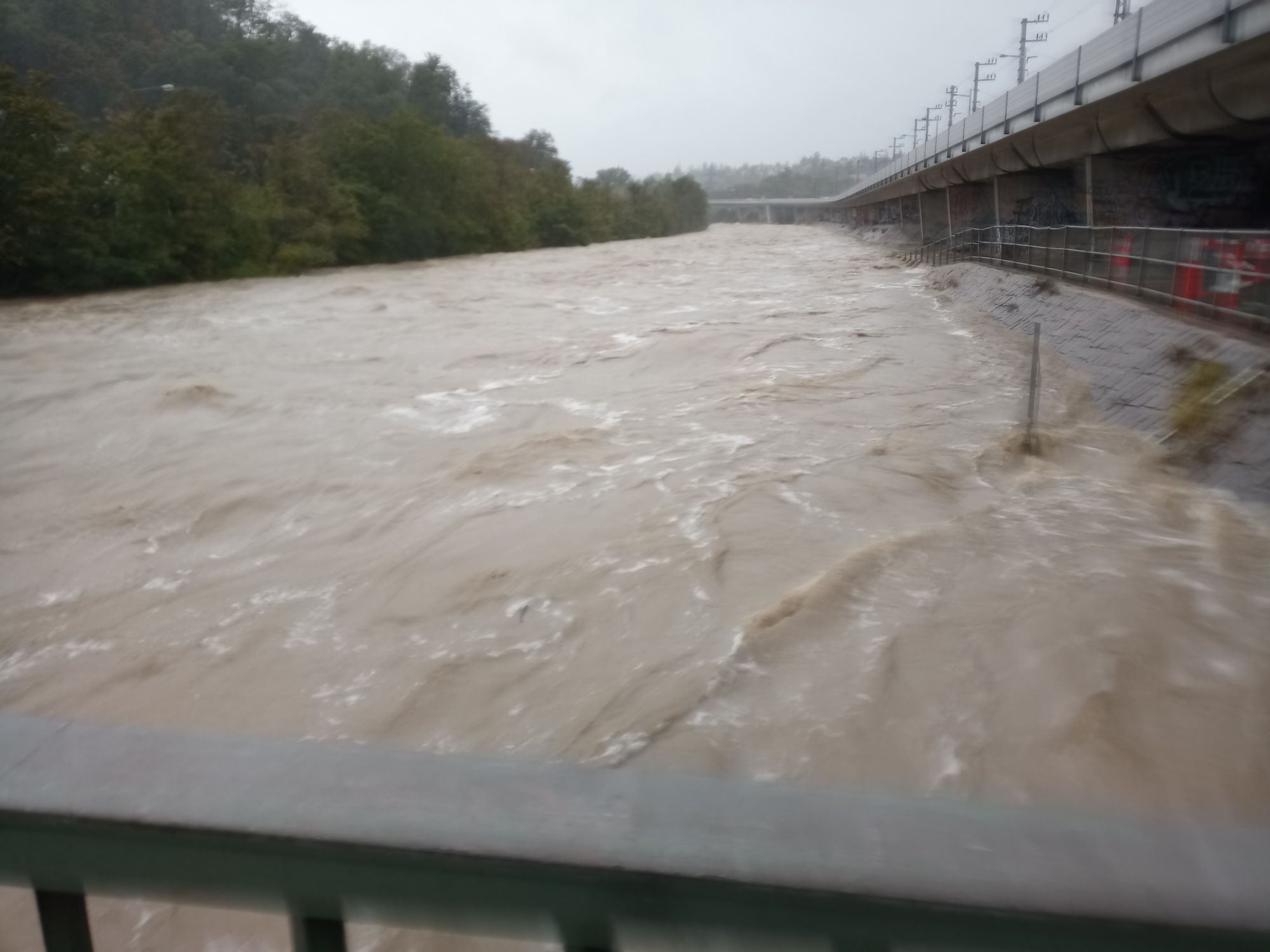
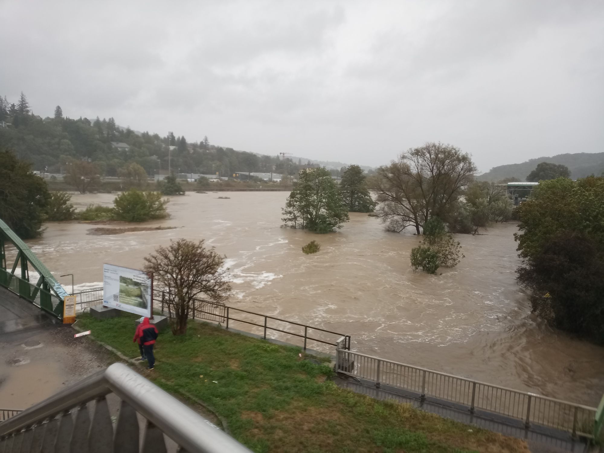
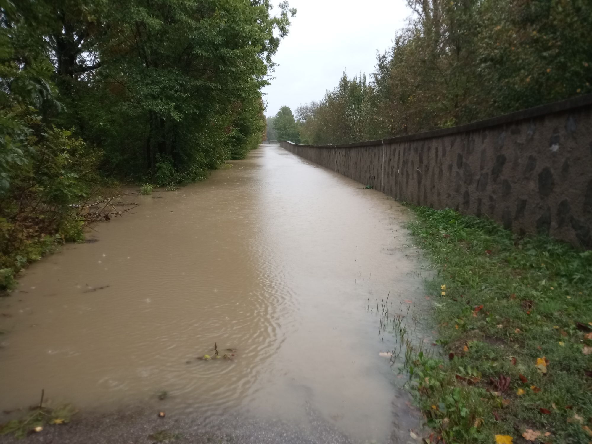
The Wiental-Elsbeere Route (East) is closed in the Pfalzberg area due to forestry work.
Currently, the only alternative is to ride the northern part of the Pfalzau route in the opposite direction.
By train to PurkersdorfBy car to the P+R Purkersdorf
Park + Ride parking lot Purkersdorf
All inns along the route are marked on the digital map as well as in the new cycling map "Cycling in the Wienerwald".
Additional establishments that we recommend and that are not directly found on the digital map:
"E-Mountainbike" recommended!
We recommend riding the Wiental-Elsbeere Route over 2 days.
Via the feeder route you can easily and quickly reach the Hotel Lengbachhof in Altlengbach.
For precise planning, the Wiental Elsbeere Route East stage as well as the Elsbeere Route West stage are available for download here.
Additionally, you can download the connecting route separately here.
Parcours populaires à proximité
- 4,7
Schöpfl
facileRandonnée 9,52 km - 4,6
Stadtwanderweg 6 / Zugberg - Maurer Wald (lt. Beschilderung)
facileRandonnée 13,3 km - 4,6
Naturpark Sparbach
facileRandonnée 7,08 km - 4,7
Rundwanderung Gablitz Gemeindeamt - Troppberg - Rabenstein - Gablitz Gemeindeamt
facileRandonnée 12 km - 4,0
Schöpfl von Sankt Corona
moyenRandonnée 10,1 km - 4,2
Stadtwanderweg 8 - Sophienalpe (lt. Beschilderung)
facileRandonnée 9,31 km - 4,5
von Purkersdorf zur Rudolfshöhe
facileRandonnée 4,72 km - 4,3
Rund um die Kartause Mauerbach - Angelos wohininundumwien.at
facileRandonnée 4,90 km - 4,1
Mauerbach - Tulbinger Kogel
facileRandonnée 12,1 km - 4,6
Steinbruchsee
facileRandonnée 8,07 km

Randonnée et suivi


Ne manquez pas les offres et l'inspiration pour vos prochaines vacances
Votre adresse électronique a été ajouté à la liste de diffusion.