
Dates des itinéraires
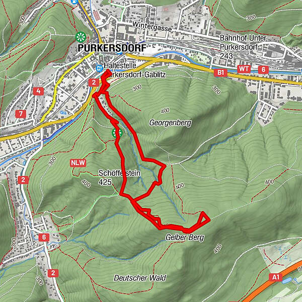
4,72km
246
- 465m
215hm
216hm
01:10h
- Brève description
-
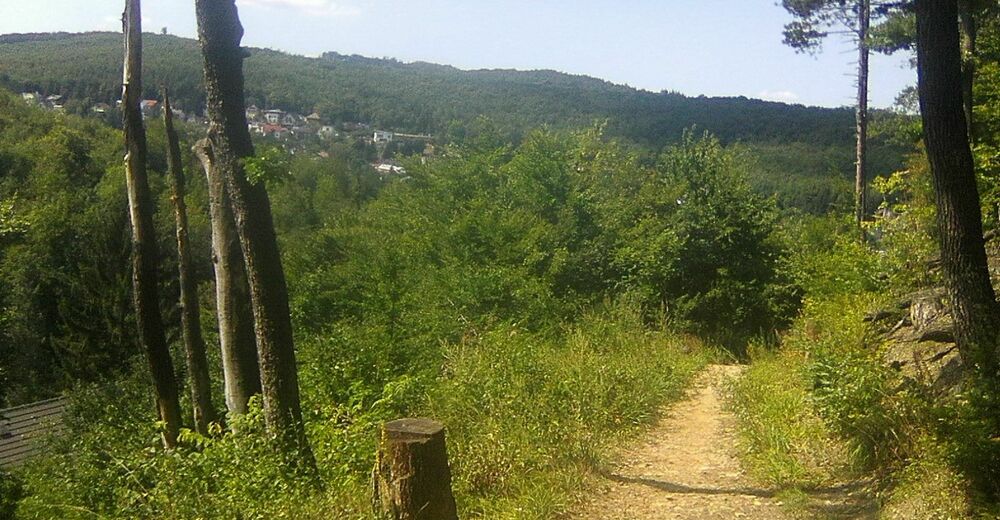
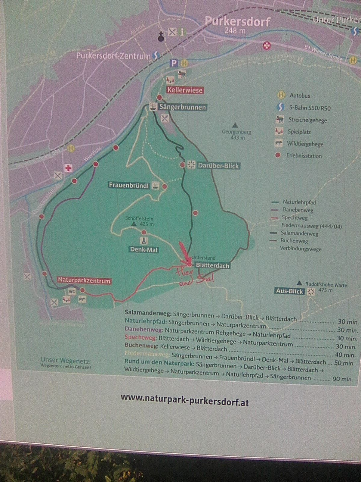
Nachmittagsrunde zur Aussichtswarte Rudolfshöhe
- Difficulté
-
facile
- Évaluation
-
- Point de départ
-
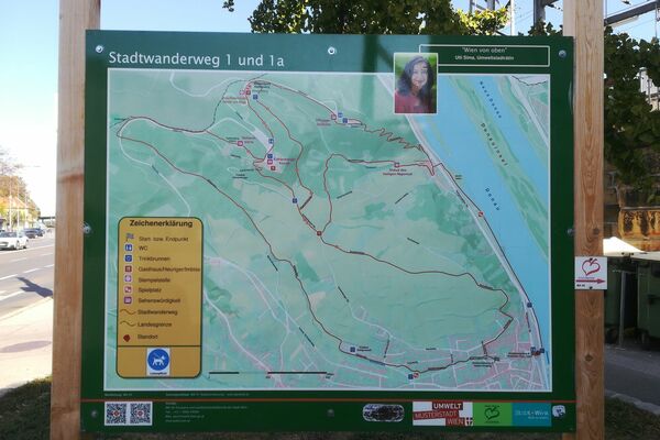
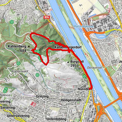
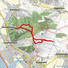
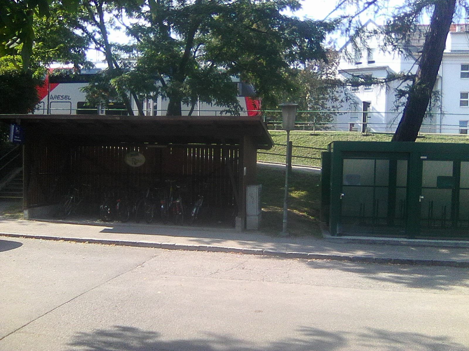
ÖBB Bahnhof Purkersdorf
- Parcours
-
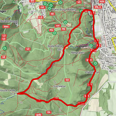
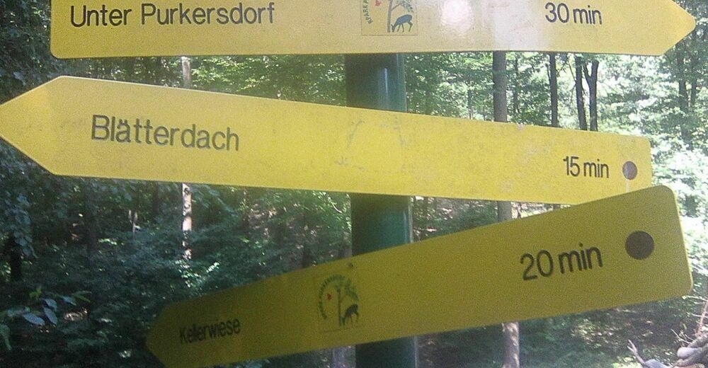
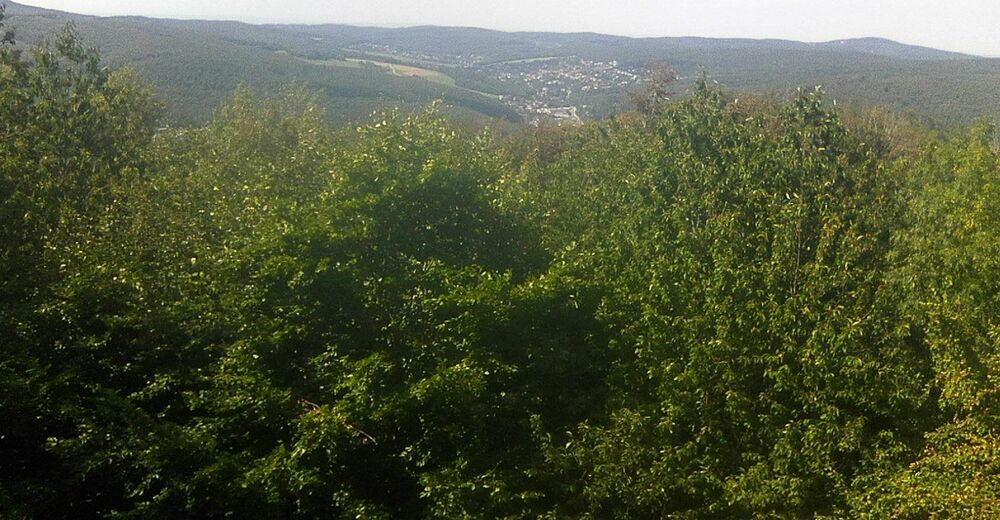
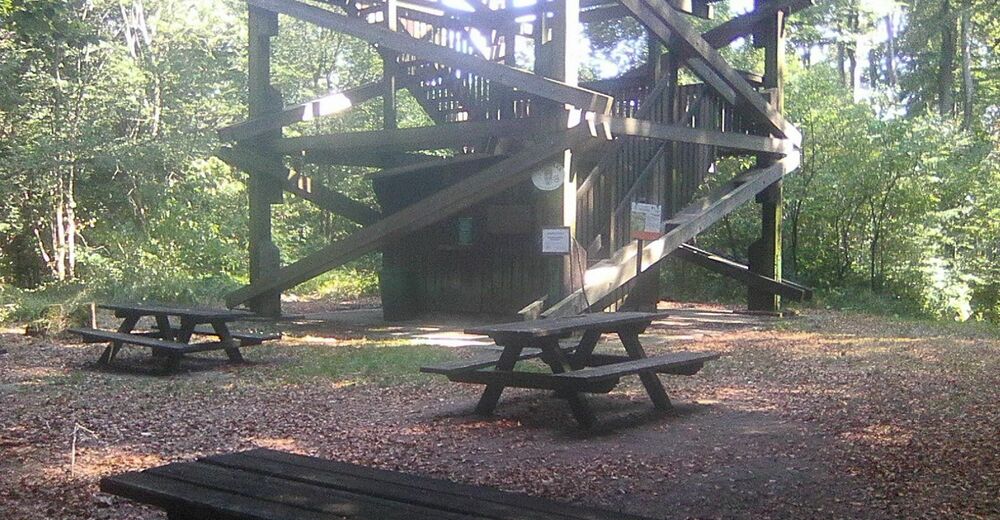
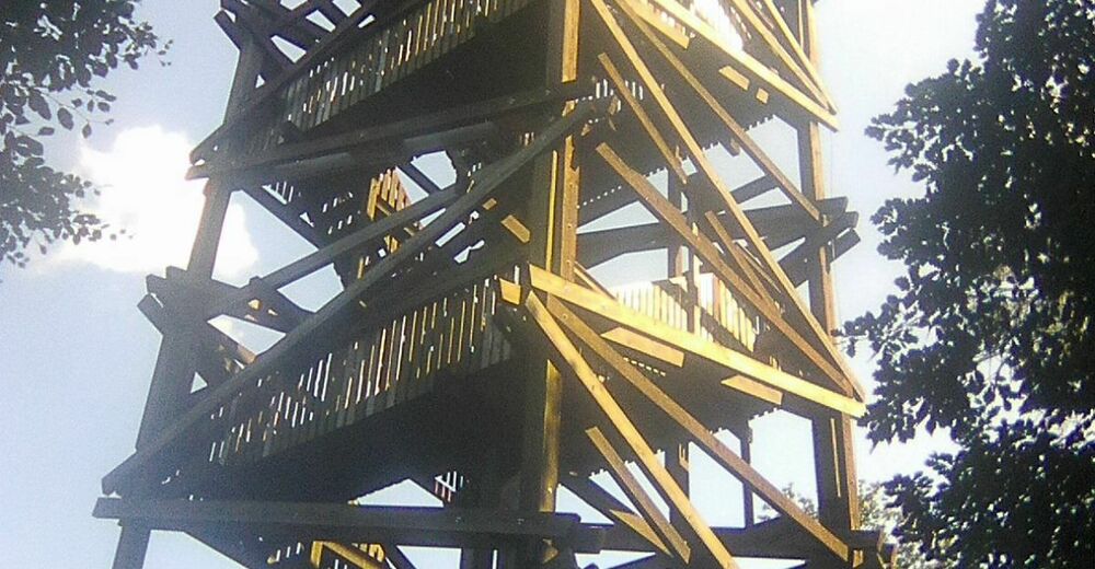
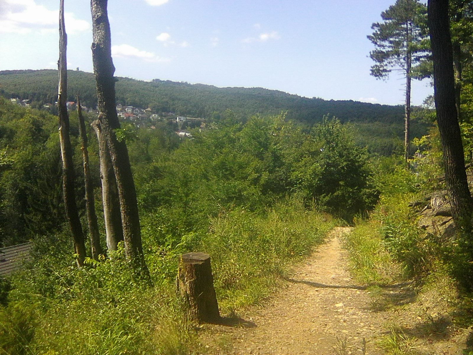
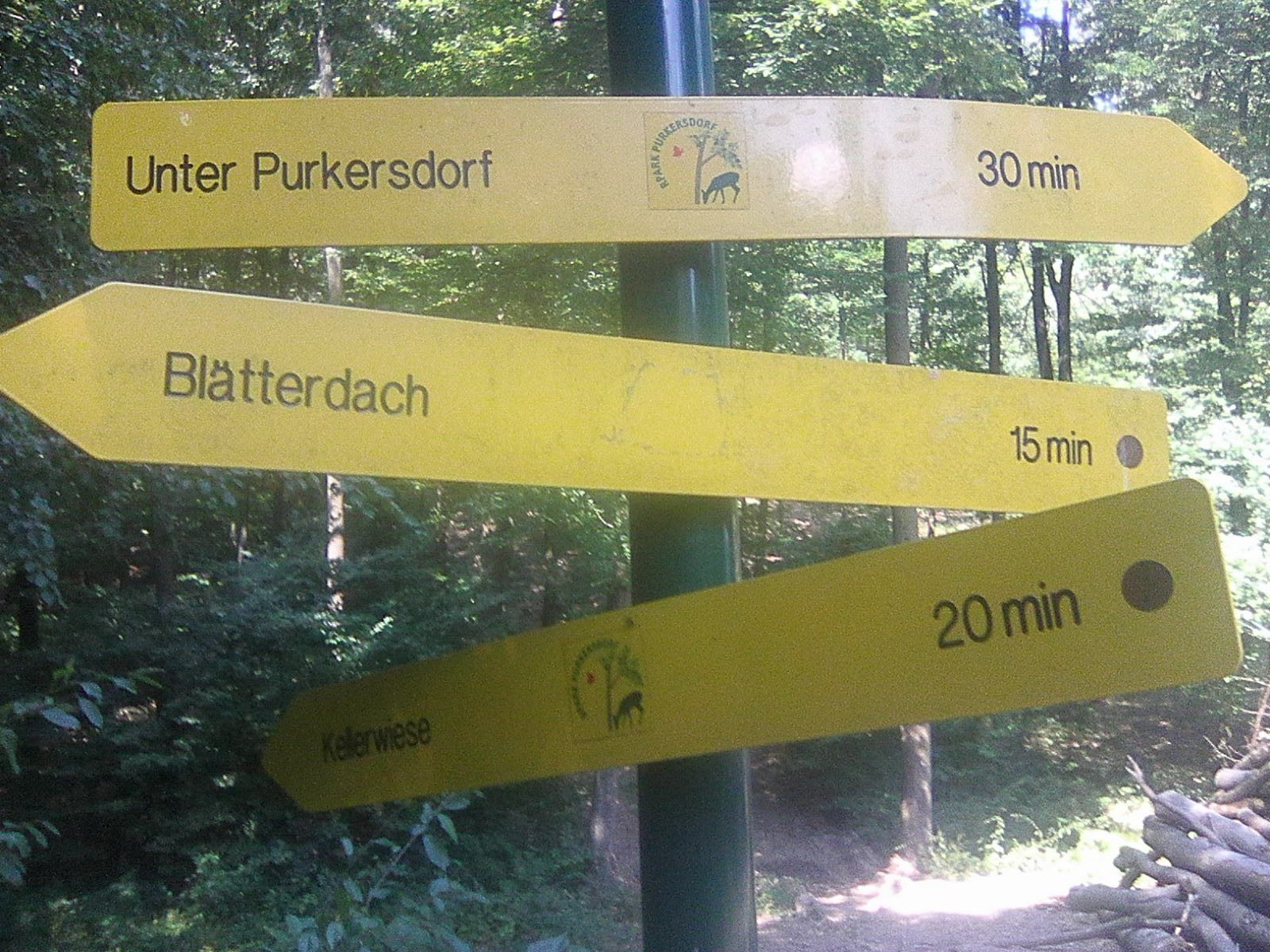
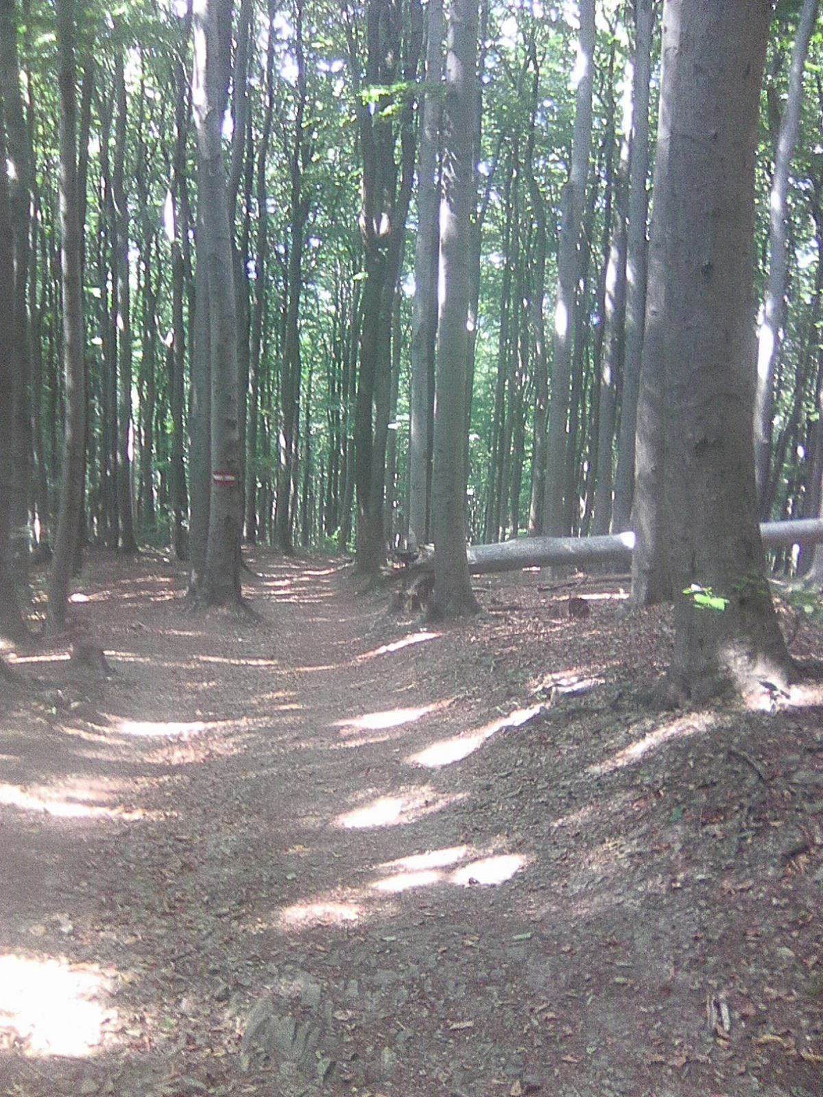
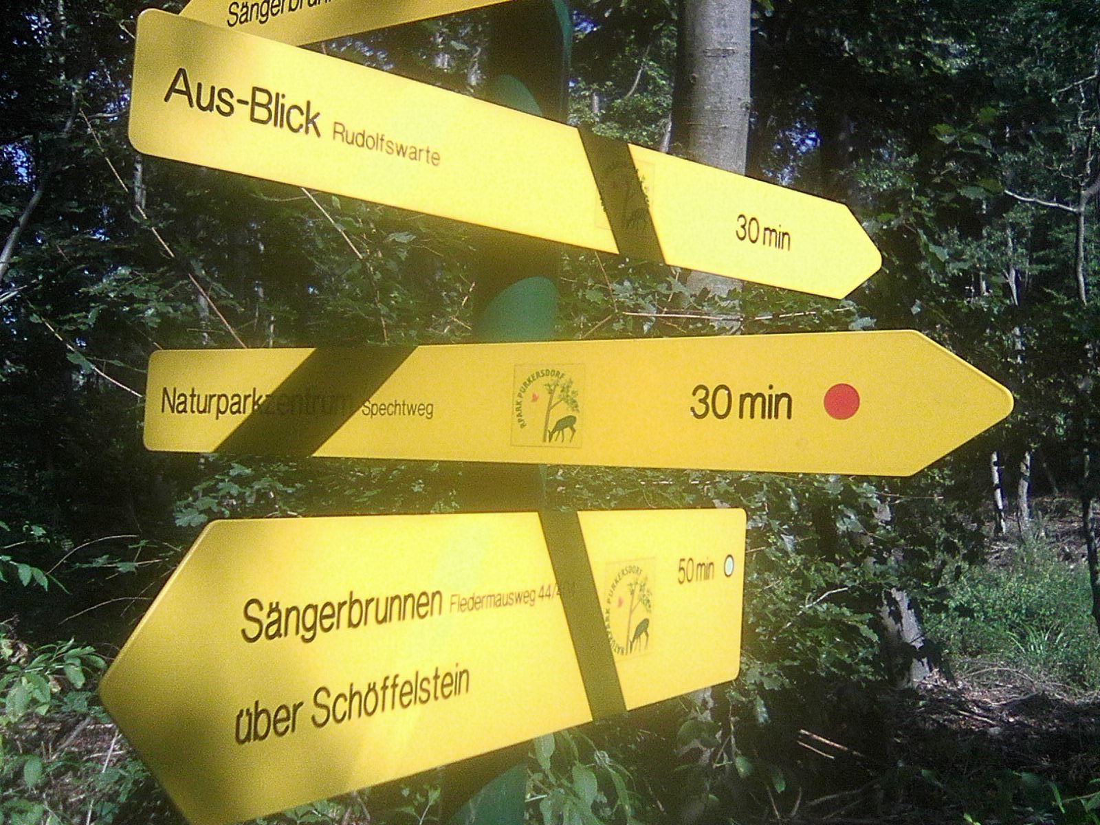
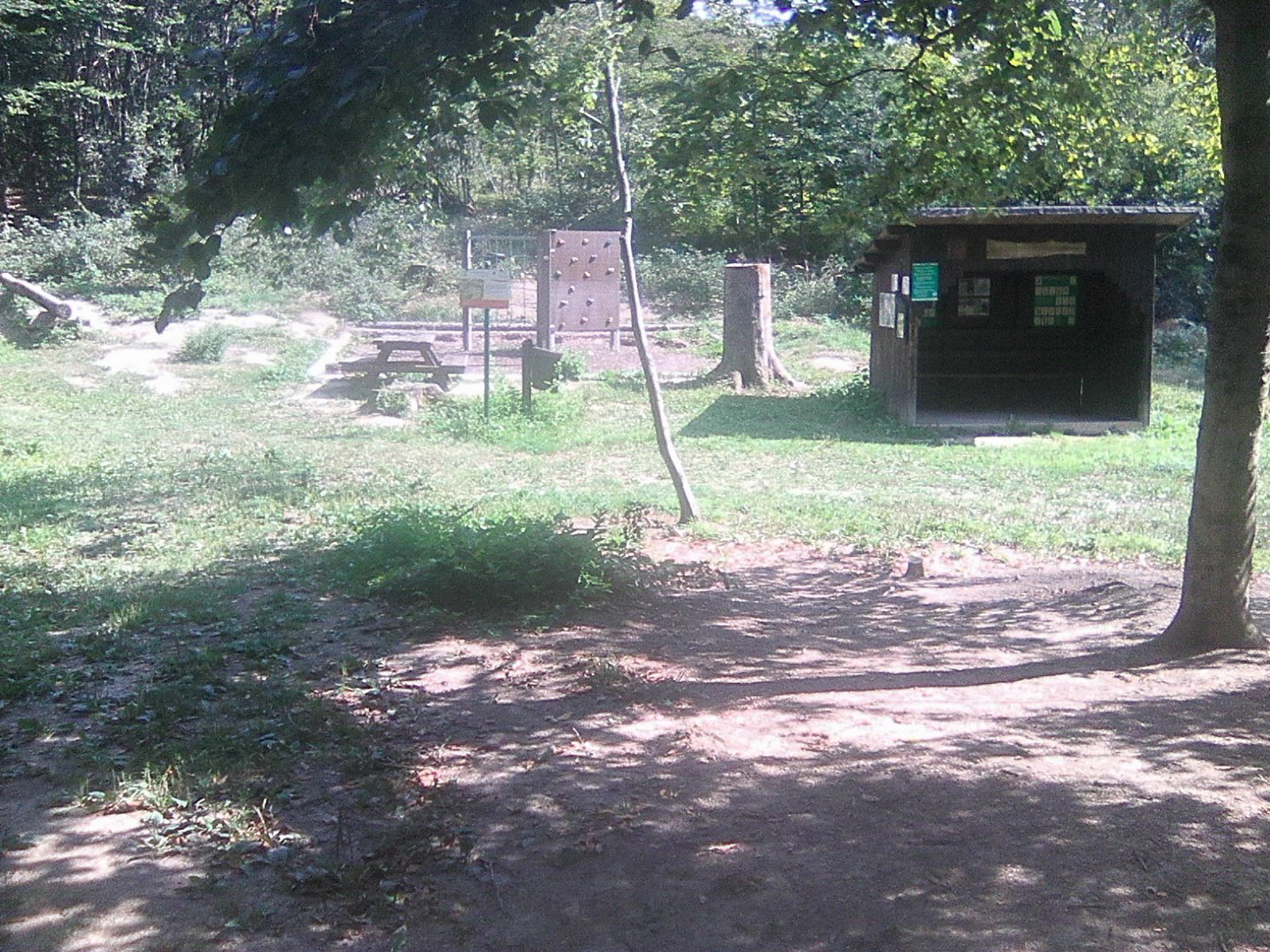
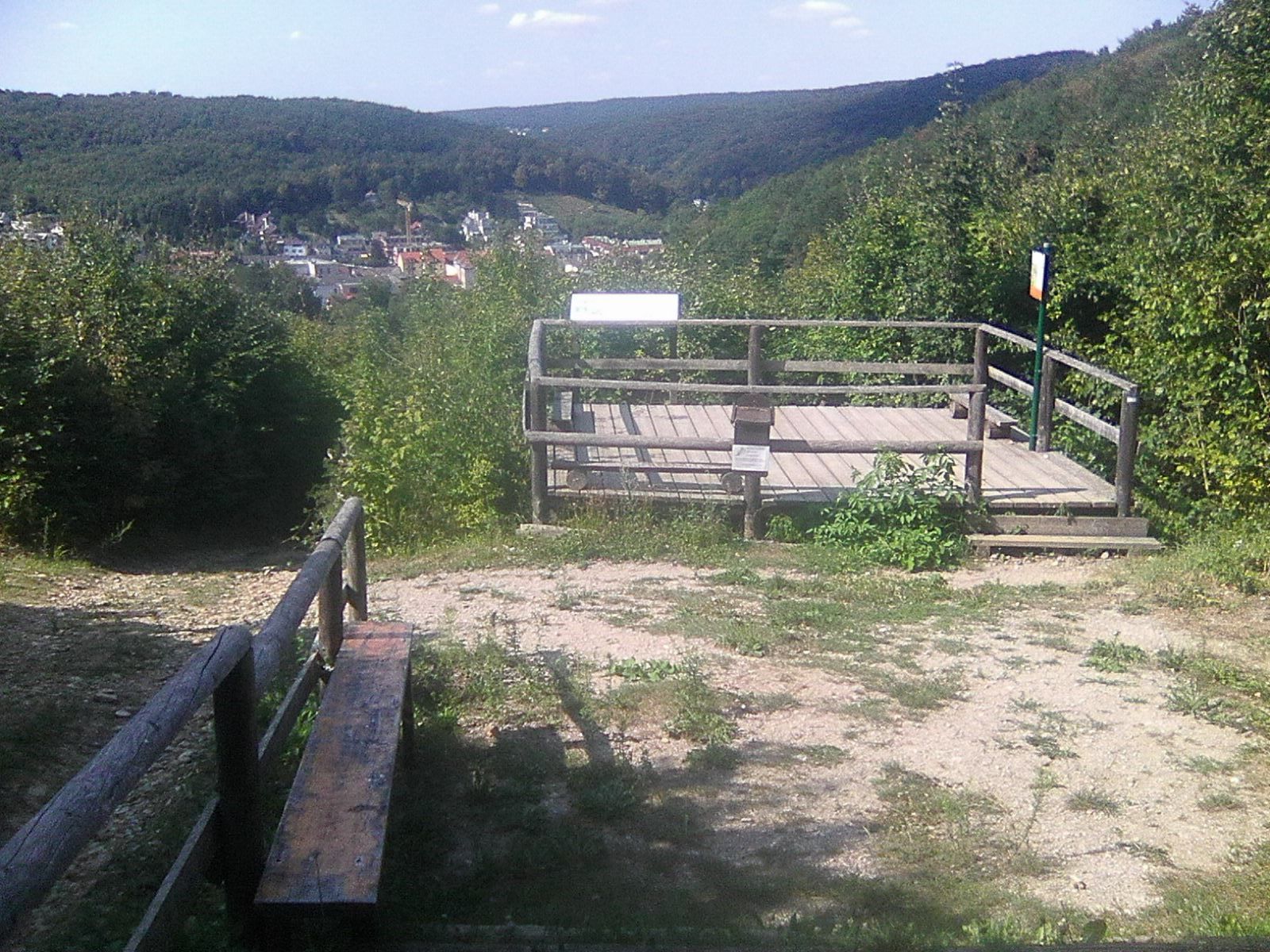
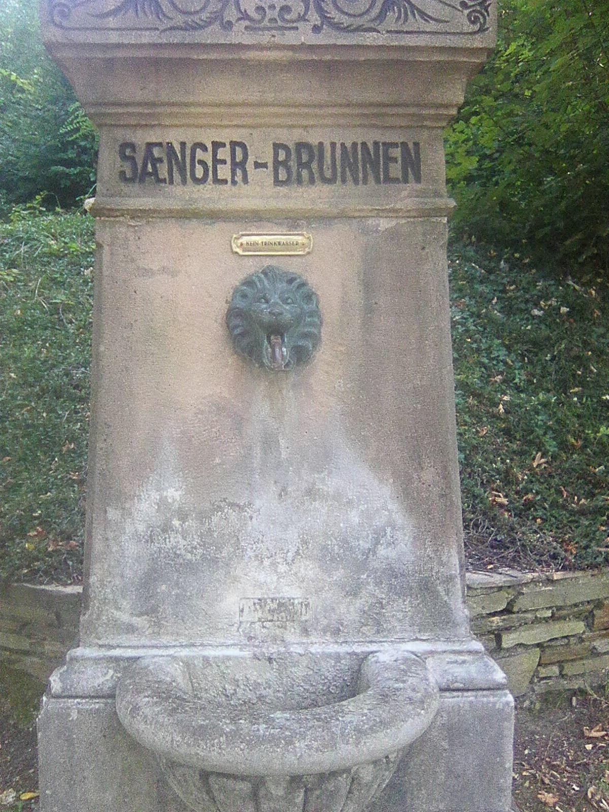
Purkersdorf (248 m)Rudolfswarte2,3 kmRudolfshöhe (475 m)2,4 kmBlätterdach3,3 kmDarüber-Blick3,9 km
- Meilleure saison
-
janv.févr.marsavrilmaijuinjuil.aoûtsept.oct.nov.déc.
- Hauteur maximale
- 465 m
- Point de mire
-
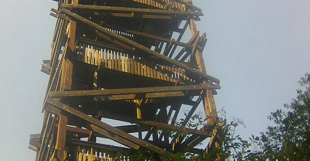
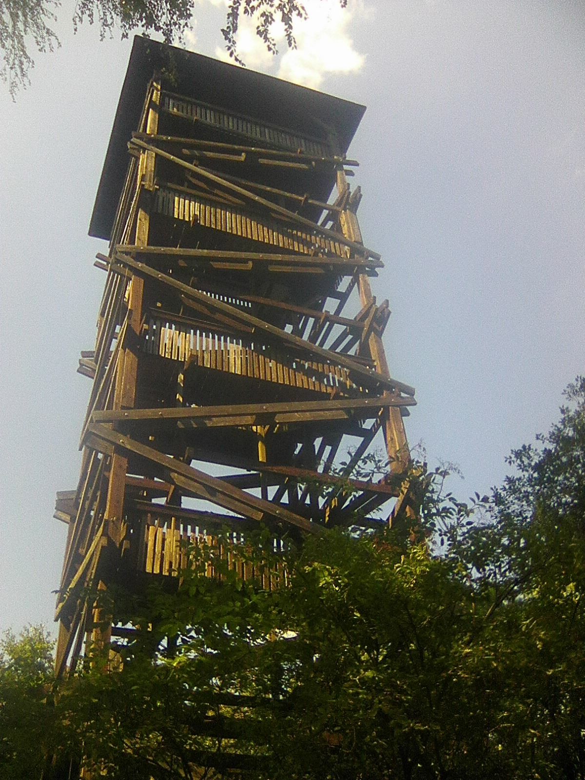
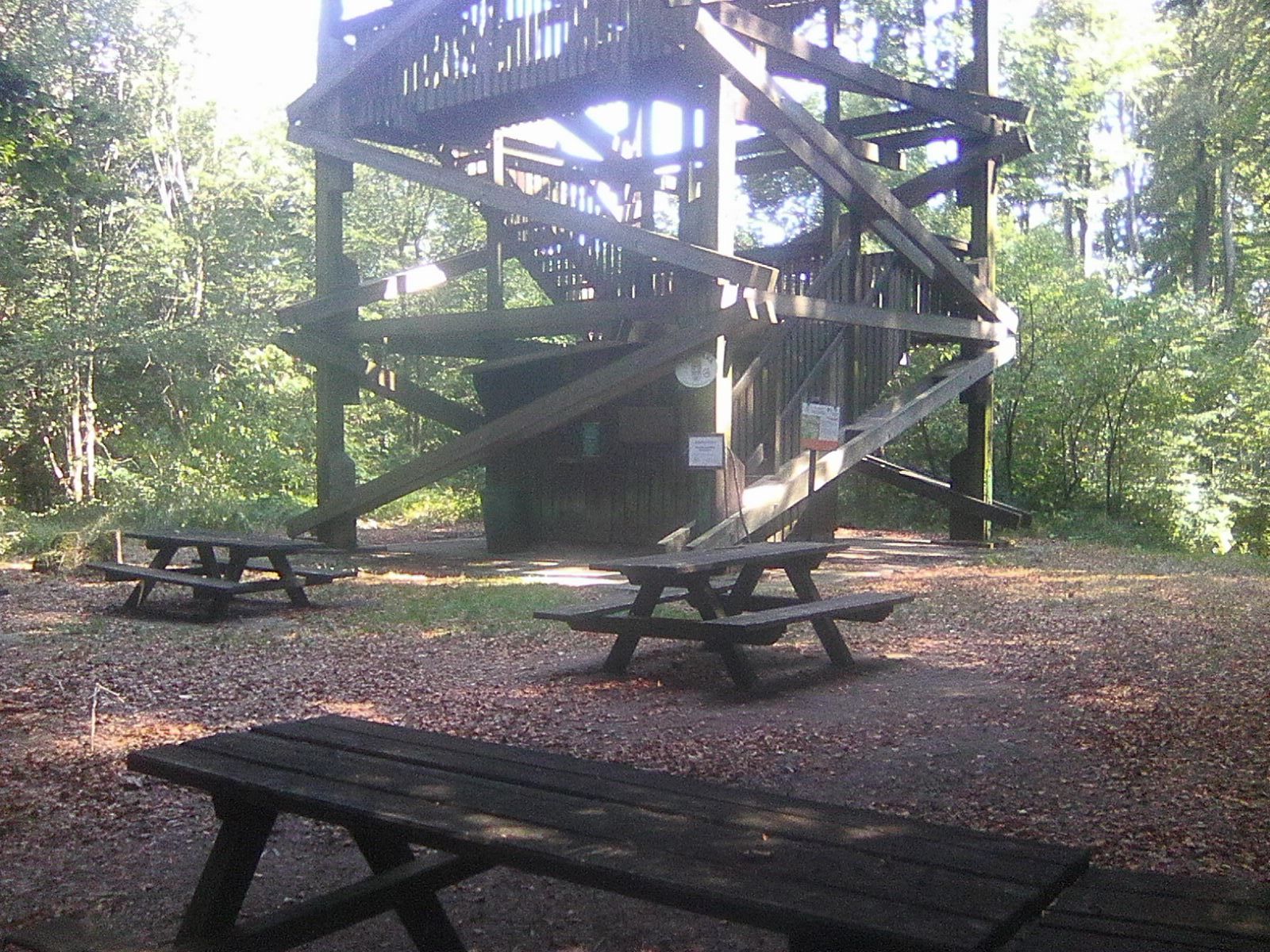
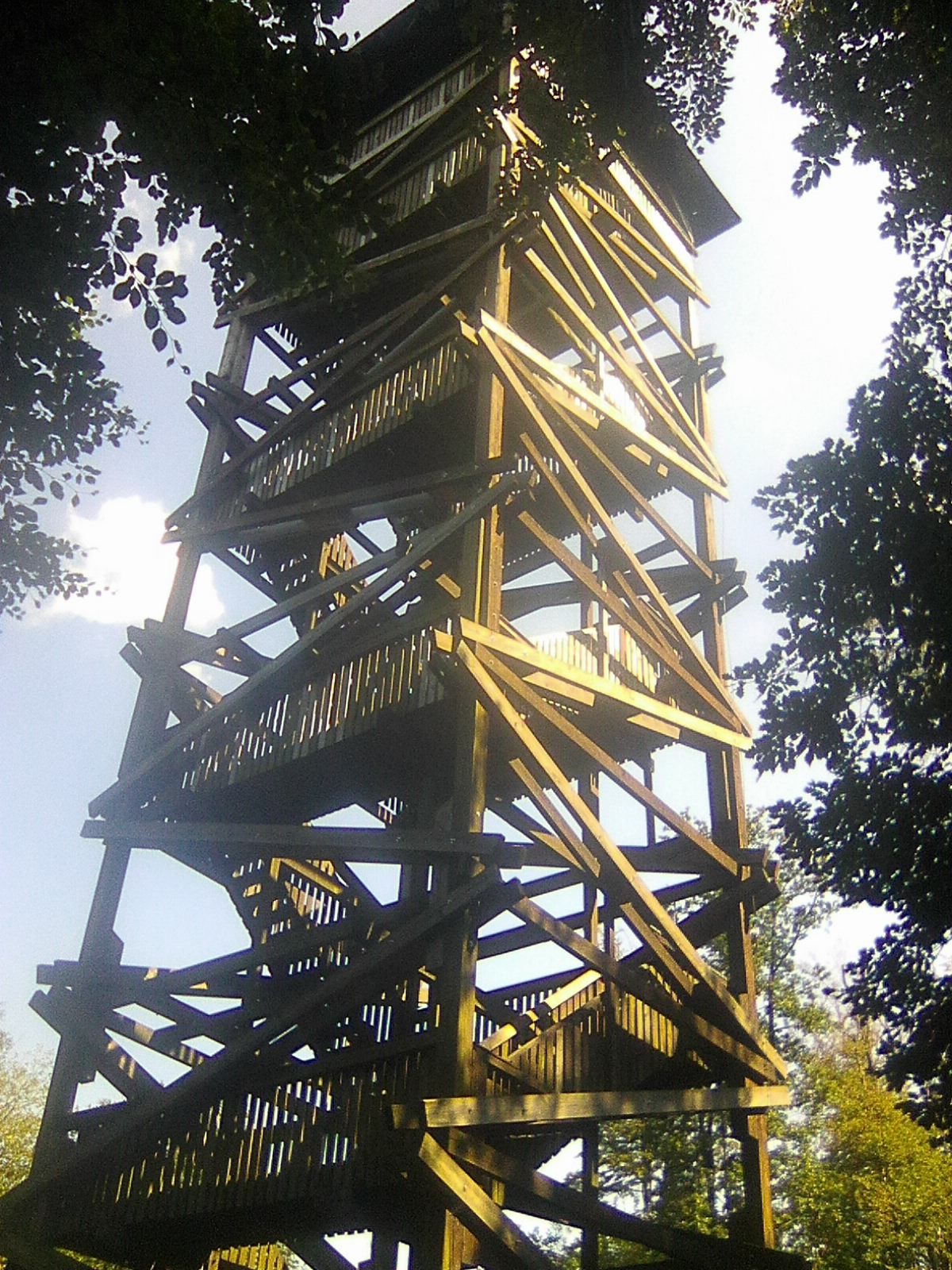
Rudolfshöhe - Aussichtswarte


- Source
- Roman Mazanek
GPS Downloads


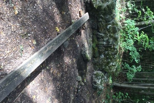
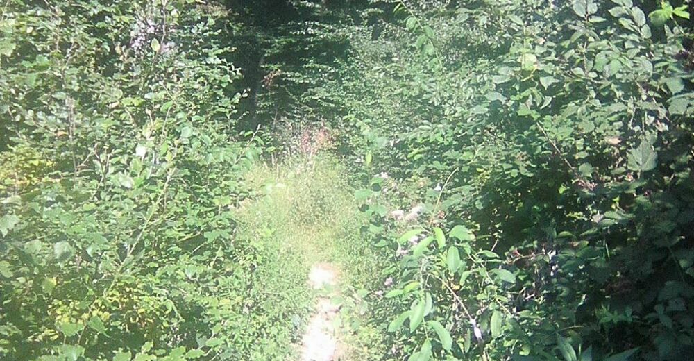
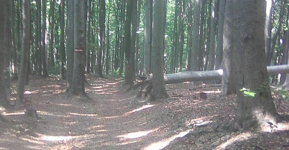
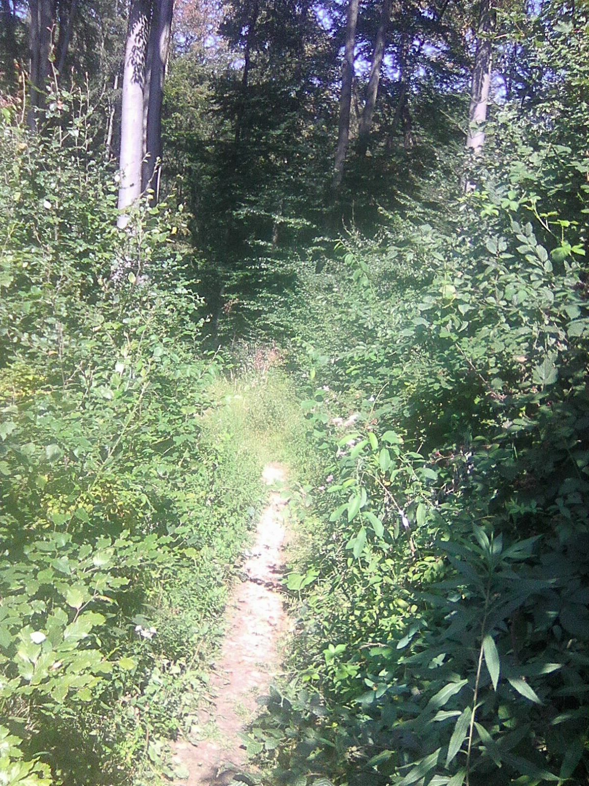
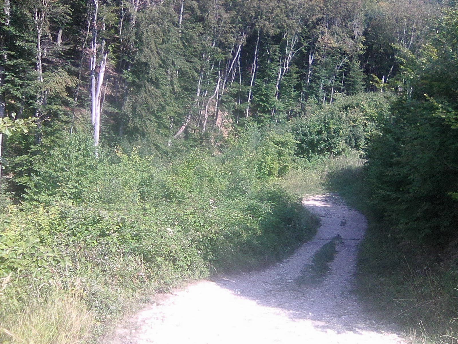
Nature du chemin
Asphalte
Gravier
Pelouse
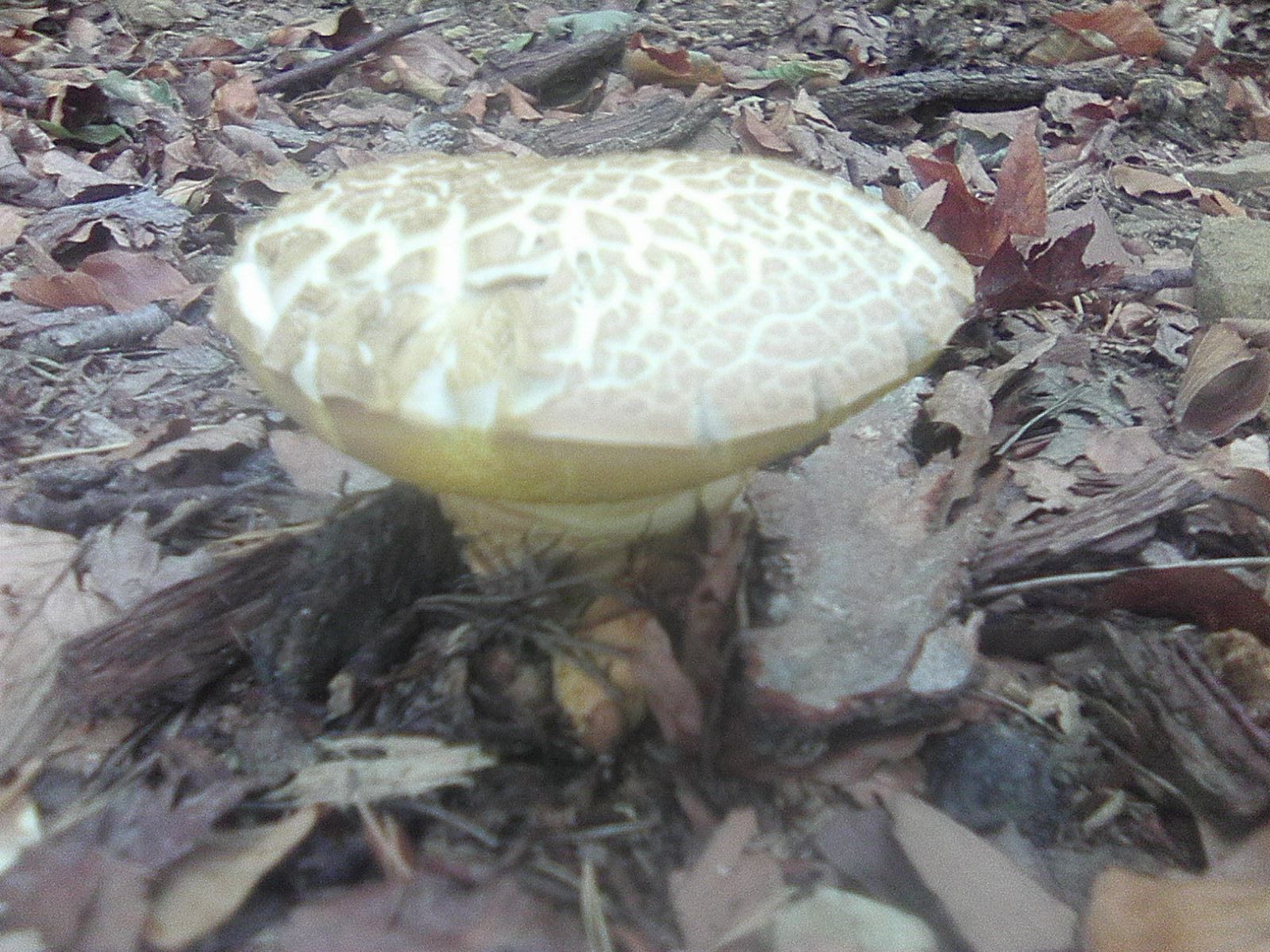
Forêt
Rocher
Exposé
Autres parcours dans les régions
-
Wienerwald
4219
-
Wien und Umgebung
2481
-
Purkersdorf
1159