





Navacerrada - La Maliciosa - Bola del Mundo - Navacerrada
Overall difficulty: medium An ideal route for advanced hikers, consisting of a moderate and continuous ascent of 1000 meters in altitude. The effort is rewarded by an impressive view of over the skyline...
Overall difficulty: medium
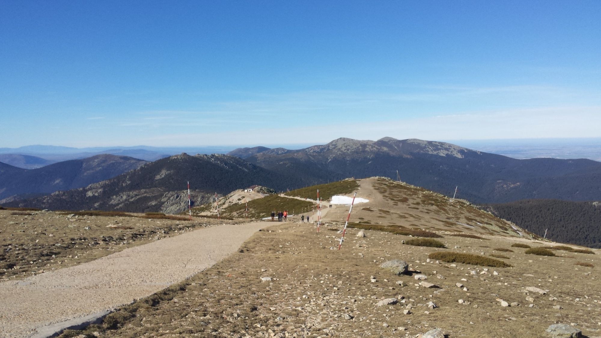
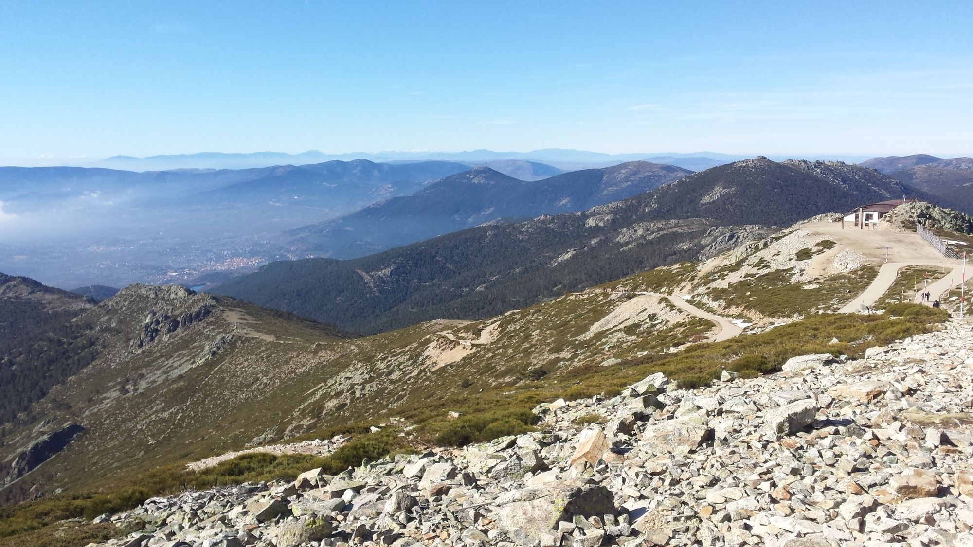
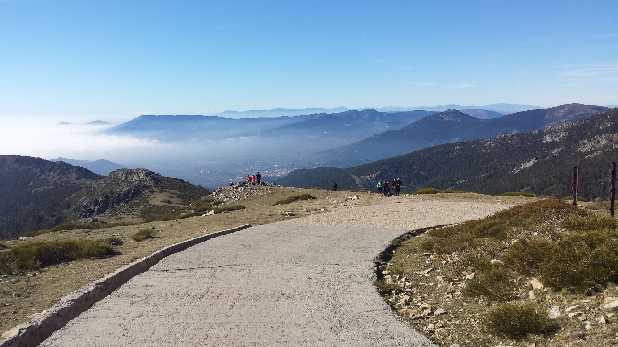
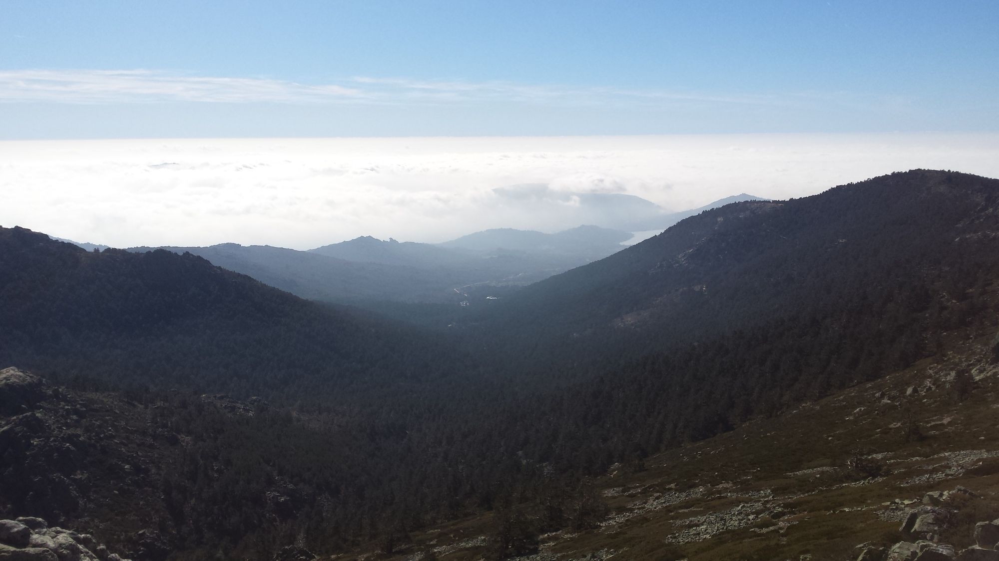
An ideal route for advanced hikers, consisting of a moderate and continuous ascent of 1000 meters in altitude. The effort is rewarded by an impressive view of over the skyline of Madrid in the distance as well as of the surrounding mountain range. Apart from the one or the other larger rocks, this route does not require any technical finesse.
Leg 1: Navacerrada – water fountain
Difficulty: easy
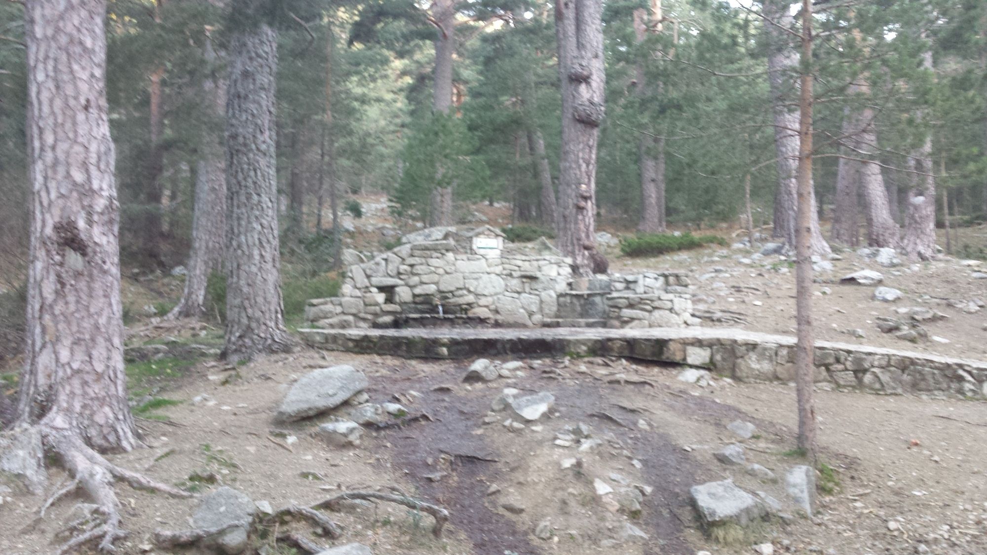
From the parking lot onwards, walk past the two large lakes and follow the river upstream. The path is relatively wide and goes through the forest most of the time. Follow this route until reaching a large water fountain with walls made out of large rocks
Leg 2: Water fountain – La Maliciosa
Difficulty: medium
Follow the trail indicated in white and yellow markings. From this point on the route is a constant ascent. Relatively soon you will pass another prominent water fountain, the “Fuente de la Campanilla”. The trail continues upwards through the forest until reaching a clearing. From there on out the path becomes more and more rocky. Keep following it upwards until reaching a large, flat area with lots of scrubs. This is where several paths meet. Follow the one which ascends another slight incline towards the right, in order to reach the “Maliciosa”. You will have to climb over some loose rocks from time to time and the trail is not always clear – however other hikers usually indicate it via small rock piles. As soon as you reach the ridge turn left and keep walking upwards until reaching the peak of “La Maliciosa”, which is marked through a quite prominent concrete stump. From this peak you will be rewarded with a wonderful view of the lakes and towns to the north of Madrid.
Leg 3: La Maliciosa – “Bola del Mundo”
Difficulty: medium
Turning from the peak towards the North it is easy to spot the large radio antennae on top of the “Bola del Mundo”. To get there, simply re-trace the same way back down towards the large flat area and from there on follow a wide gravel path up towards the radio antennae installations.
Leg 4: “Bola del Mundo” – water fountain
Difficulty: easy
The descent back down begins on the western side of the radio antennae installations and follows a mountain road made out of asphalt. Keep following the road until it makes a long right-hand turn towards the other side of the mountain ridge. From this point on leave the road, turn to the left and follow the trail marked in white and yellow down towards the valley. This route passes a large, prominent boulder and merges into the forest. Follow the route a bit further until reaching the same water fountain from the first leg of the hike.
Leg 5: Water fountain – Navacerrada
Difficulty: easy
From there on out simply re-trace the route of the first leg back towards the parking lot.









Oui
Oui
The parking lot is only reachable by car and fills up quickly. It is recommended to arrive there before 09:00 AM.

Parcours populaires à proximité
-
5,0
Puerto de Cotos - Pico de Peñalara
facileRandonnée 5,64 km -
5,0
Manzanares - El Yelmo - Charca Verde - Manzanares
moyenRandonnée 17,5 km -
5,0
Cercedilla - Montón de Trigo - Cercedilla
moyenRandonnée 12,9 km -
4,0
Manzanares Ausflug
facileRandonnée 10,7 km -
Manzanares de Real
moyenRandonnée 8,26 km -
Manzanares- Maliciosa baja
difficileRandonnée en montagne 16,9 km -
Casa Forestal Molino del Caballo - Peña del Arcipreste de Hita - Monumento al Arcipreste de Hita - Cercedilla
moyenRandonnée 13,7 km -
Estación de El Espinar - La Pinareja - Montón de Trigo - Cercedilla
difficileRandonnée 25,8 km -
Cercedilla - Los Frutales - Alto de La Peñota - Collado de Cerromalejo
moyenRandonnée 13,2 km -
Cercedilla - Collado de Cerromalejo - Peña el Águila - Collado de Marichiva
difficileRandonnée 17,4 km
Randonnée et suivi


Ne manquez pas les offres et l'inspiration pour vos prochaines vacances
Votre adresse électronique a été ajouté à la liste de diffusion.





