





Cercedilla - Montón de Trigo - Cercedilla
General description: Medium to moderately difficult route. The round trip is generally quite easy-going, however the last ascent up to "Montón de Trigo" is quite steep and rocky. There is a slightly...
General description:
Medium to moderately difficult route.
The round trip is generally quite easy-going, however the last ascent up to "Montón de Trigo" is quite steep and rocky. There is a slightly longer but less steep, alternative route which goes up around the other side.
Segment 1: Parking Cercedilla - Collado de Marchivia
Medium difficulty
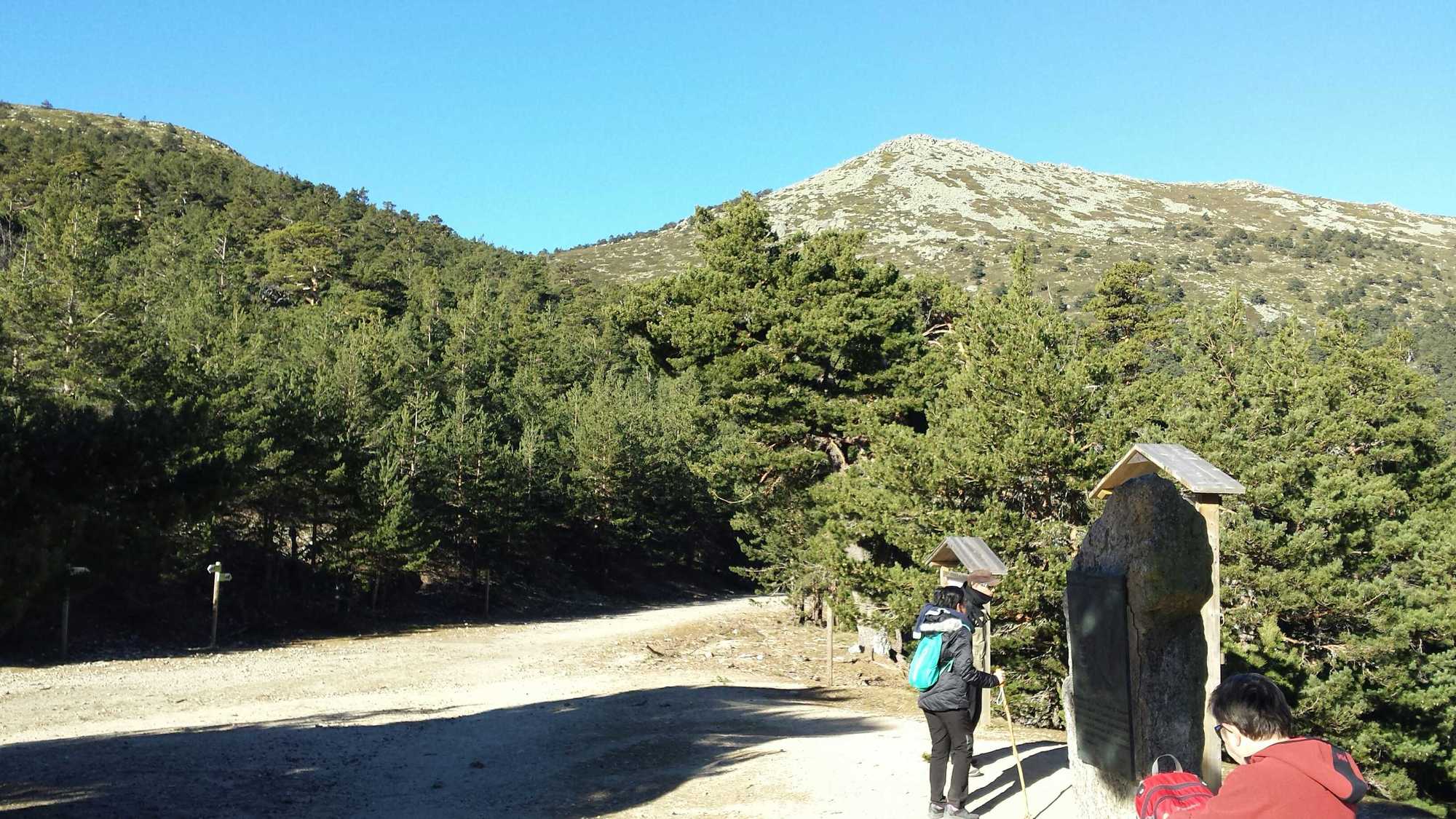
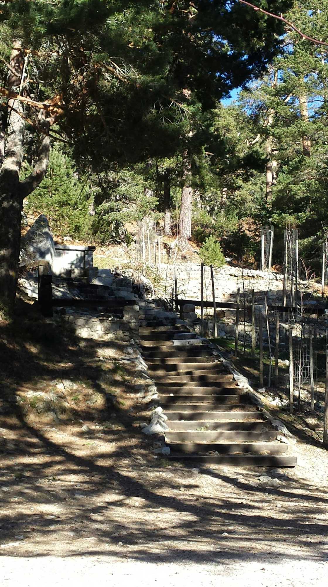
The route starts from the parking lot at the Cuenca Alta del Manzanares regional park (Cercedilla) in a continuous 400m ascent through the forest. Follow the red-dotted trail up towards the top of the ridge where you will encounter a well-prepared, gravel road.
Segment 2: Collado de Marchivia - Puerto de la Fuenfría
Easy
When reaching the gravel road make a right turn and follow the shallow GR10 route until reaching Puerto de la Fuenfría. This area is where several hiking trails meet and signs with route information are available - impossible to miss.
Segment 3: Puerto de la Fuenfría - Cerro Minguete
Medium difficulty
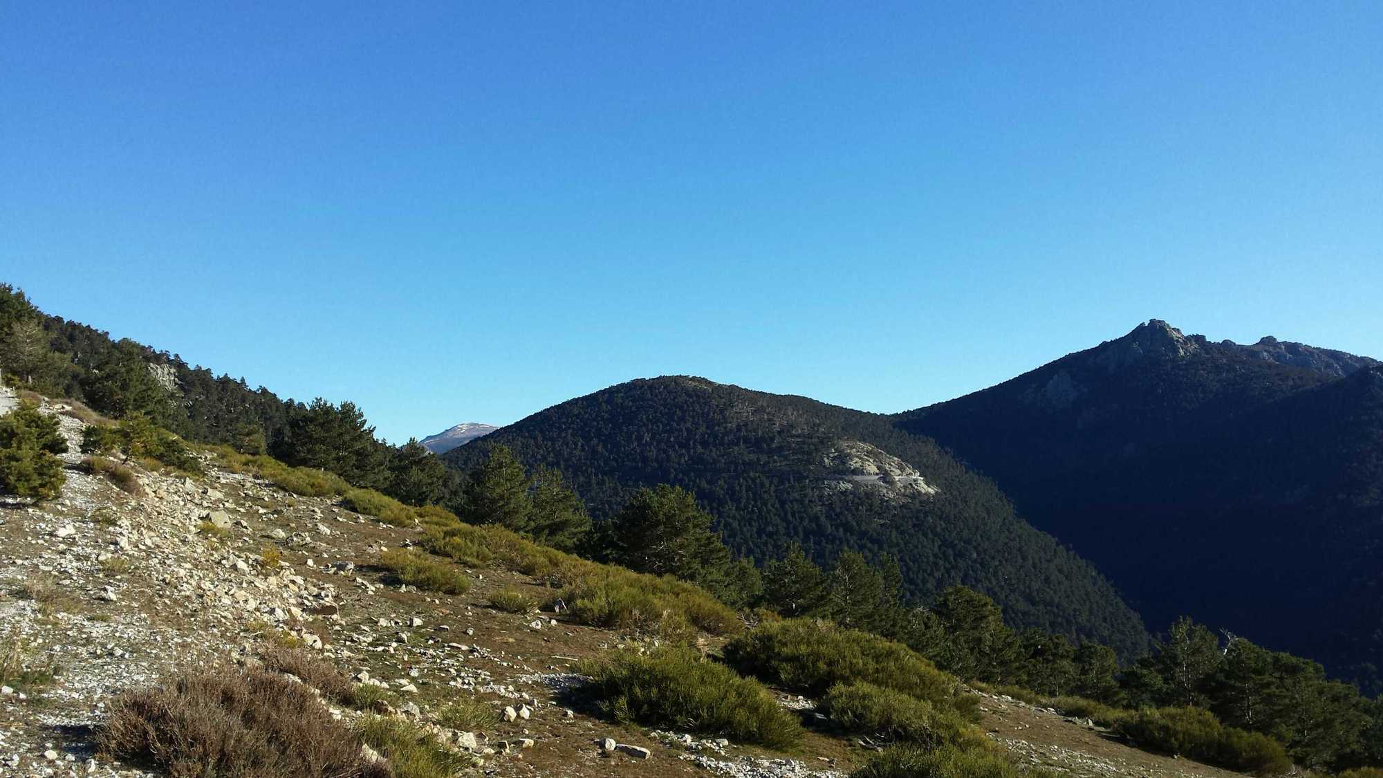
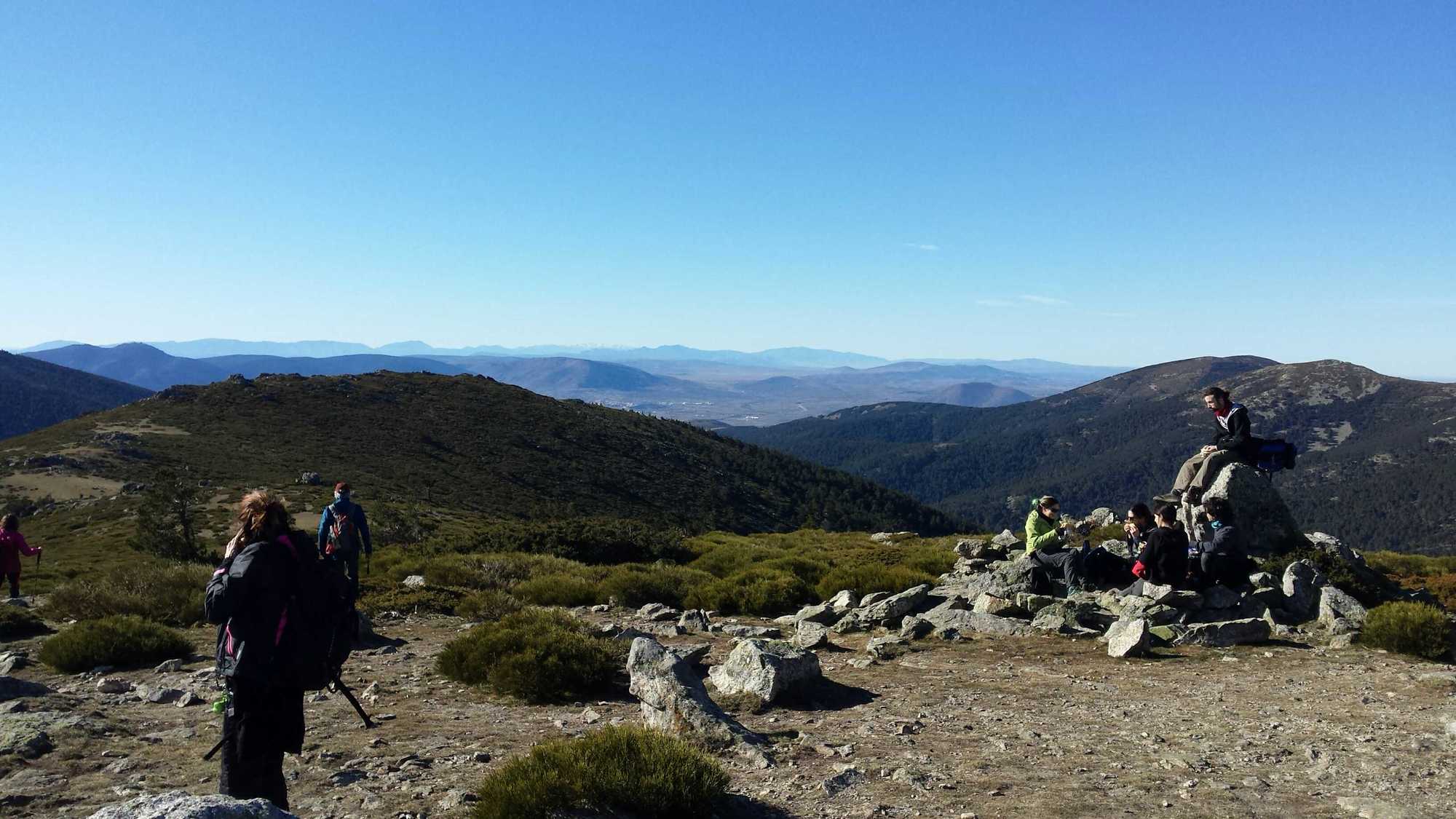
From Puerto de la Fuenfría make a left turn to ascend the Cerro Minguete. The hike up to the peak of Cerro Minguete is via an unmarked forestal route. However, people frequently ascend it so there are several paths to choose from. You will leave the forest before reaching the peak. The peak of Cerro Minguete itself is quite wide with plenty of rocks for sitting and taking a break.
Segment 4: Cerro Minguete - Montón de Trigo
Moderate difficulty (trail with medium difficulty is also available)
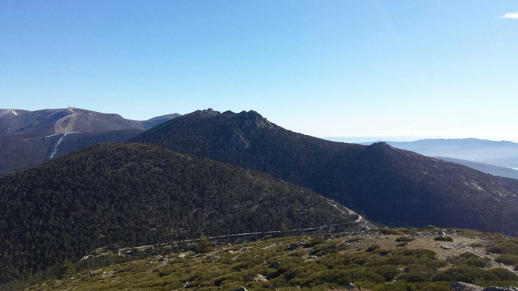
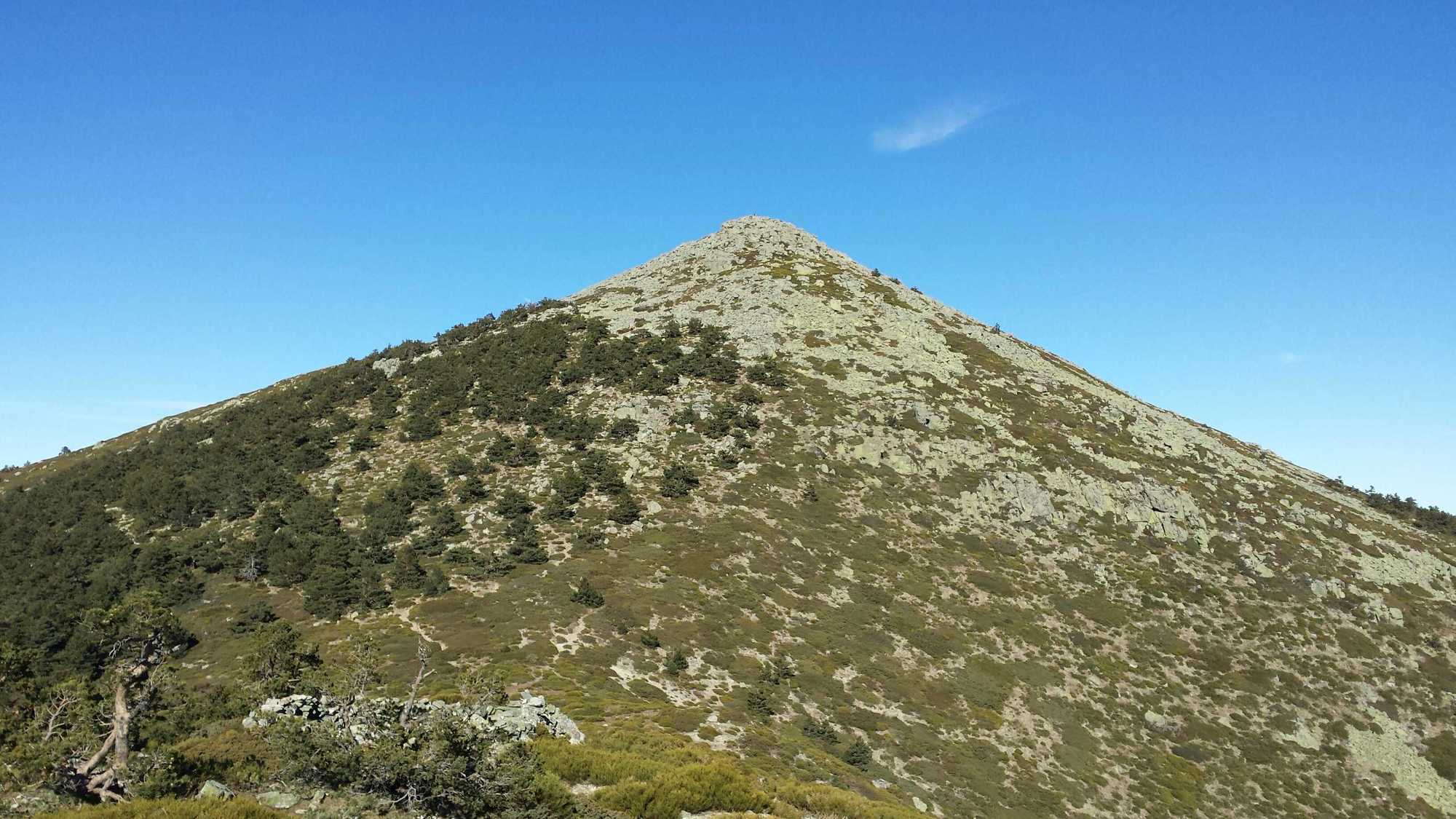
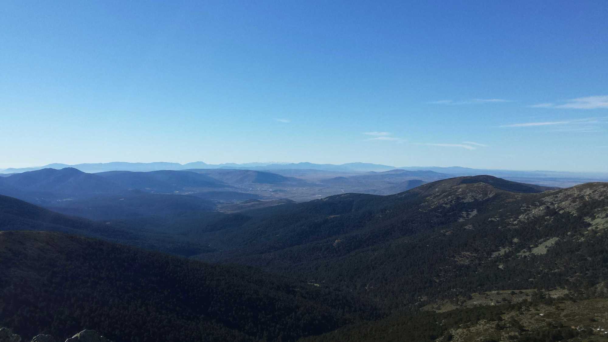
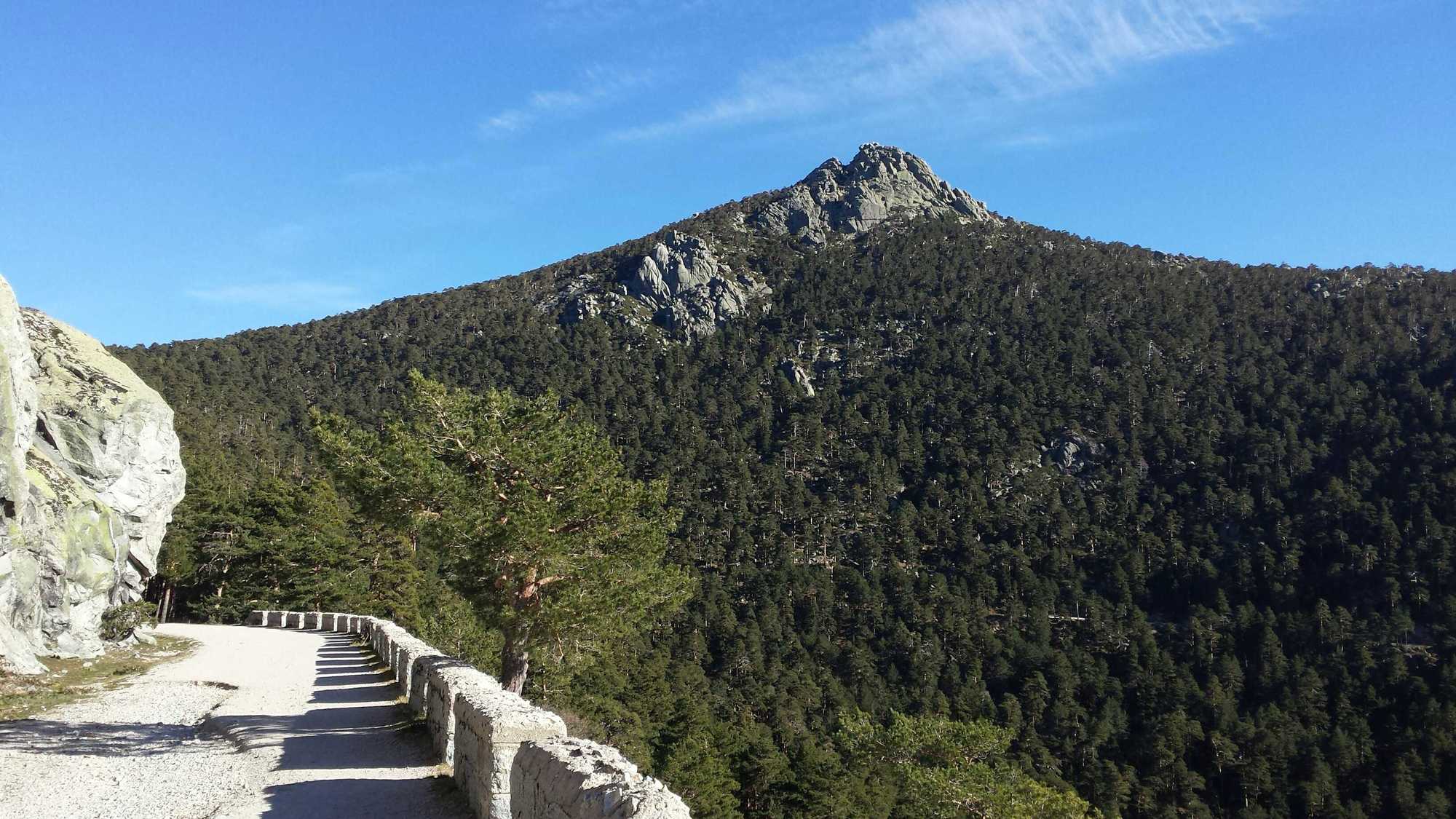
This is the most difficult segment of the tour. From the top of Cerro Minguete there is a nice view of the Montón de Trigo peak, which has the shape of a cone. Follow the trail on the ridge between the two peaks until you reach a small forested area. From this point on you can decide to continue straight ahead up towards the peak (moderate difficulty) or decide to go left and go around to ascend the peak from the northern side (medium difficulty). The route gets difficult once you exit the forested area, because the final ascent is steep and requires you to climb over rock piles. The trail is not always evident, however some hikers usually leave small rock mounds to indicate the way up. The view from the peak however is more than worth the effort.
Segment 5: Montón de Trigo - Puerto de la Fuenfría
Moderate difficulty (trail with medium difficulty is also available)
For this segment, re-trace your steps back down to Puerto de la Fuenfría.
Segment 6: Puerto de la Fuenfría - Parking Cercedilla
Easy
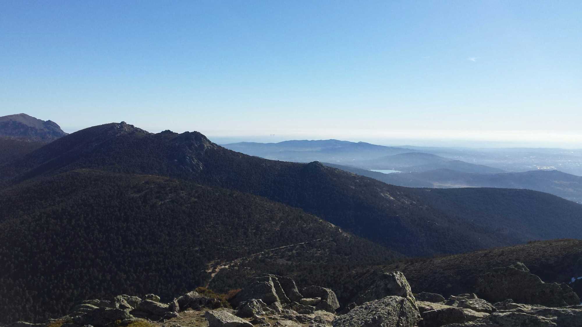
From Puerto de la Fuenfría there are several route options available to return to the parking lot. We decided to continue the GR10 dirt road for a while because of the scenic views that it has of the other side of the valley at Mirador de la Reina. At some point along the route, not far after the Mirador de la Reina, you will come across the Camino Schmid. We followed Camino Schmid - a forest route marked with yellow dots - down towards the valley. You can also opt to just coninue on GR10 which will eventually meet at the same point in the valley. Camino Schmid then merges into an asphalt road which takes you back to the parking lot at Cuenca Alta del Manzanares regional park (Cercedilla).

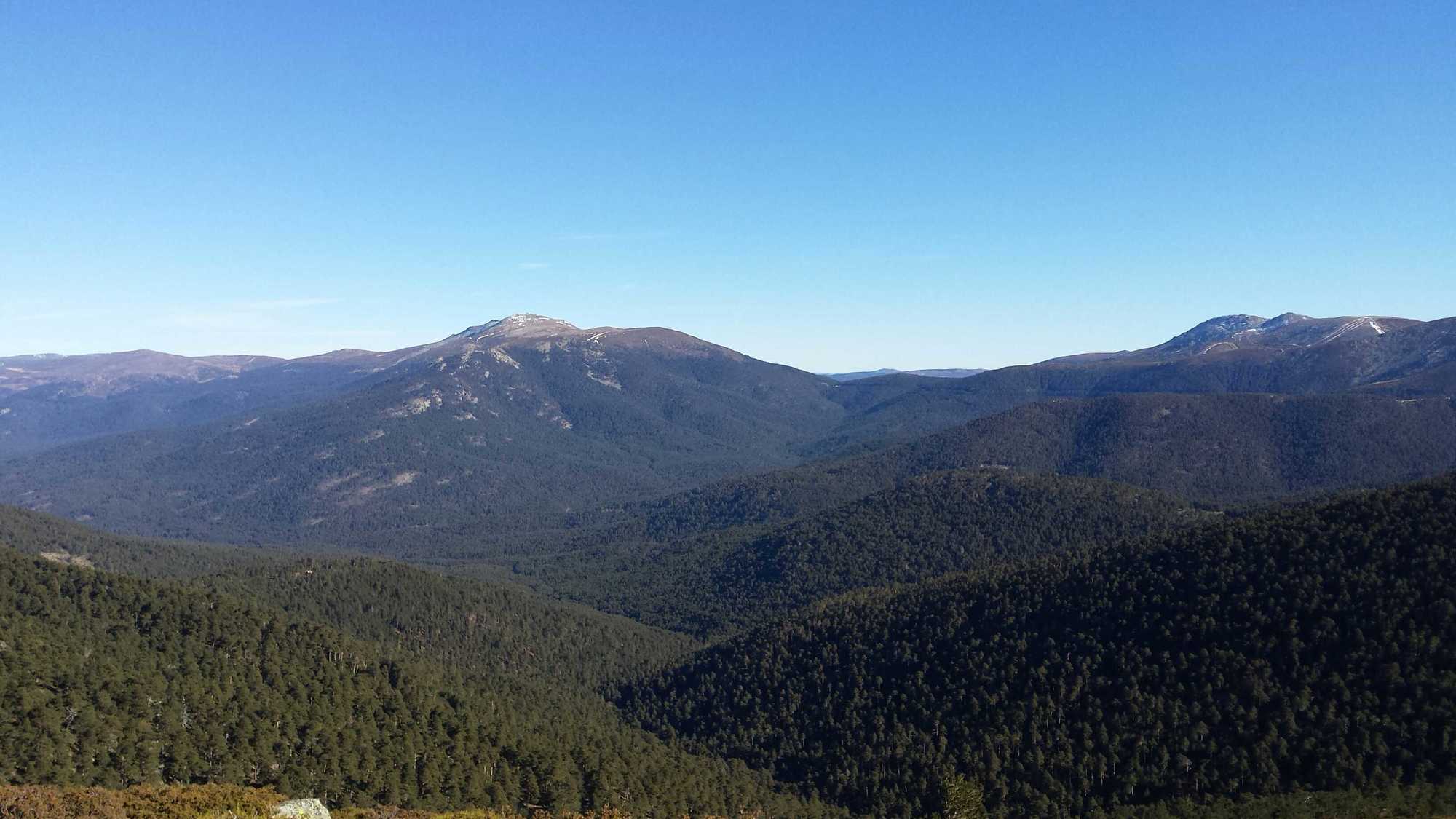




There are several restaurants in Cercedilla.
There is an info point where they give you free hiking Maps and advice.
Oui
Oui
Oui
Oui
Oui
Renfe Cercanías:
- Line: C8
- From: Atocha; Recoletos; Nuevos Ministerios; Chamartin
- To: Cercedilla
Lots of parking possibilities

Parcours populaires à proximité
-
5,0
Navacerrada - La Maliciosa - Bola del Mundo - Navacerrada
moyenRandonnée 14,4 km -
5,0
Puerto de Cotos - Pico de Peñalara
facileRandonnée 5,64 km -
Manzanares- Maliciosa baja
difficileRandonnée en montagne 16,9 km -
Casa Forestal Molino del Caballo - Peña del Arcipreste de Hita - Monumento al Arcipreste de Hita - Cercedilla
moyenRandonnée 13,7 km -
Estación de El Espinar - La Pinareja - Montón de Trigo - Cercedilla
difficileRandonnée 25,8 km -
Cercedilla - Los Frutales - Alto de La Peñota - Collado de Cerromalejo
moyenRandonnée 13,2 km -
Cercedilla - Alto de La Peñota - Cerro del Mostajo - Peña del Cuervo
difficileRandonnée 22,3 km -
Cercedilla - Collado de Cerromalejo - Peña el Águila - Collado de Marichiva
difficileRandonnée 17,4 km -
Cercedilla - Antiguo campamento de Las Berceas
facileRandonnée 6,87 km -
Refugio Cumbres - Cerro Minguete - Peña el Águila - Cercedilla
difficileRandonnée 18,9 km
Randonnée et suivi


Ne manquez pas les offres et l'inspiration pour vos prochaines vacances
Votre adresse électronique a été ajouté à la liste de diffusion.





