


Stage 21: Alpina Antica Trail | ET21: Dellach in Drautal/ Gailbergsattel - Mauthen
Across the quiet Gailtal Alps from the Drava Valley to the Gail Valley
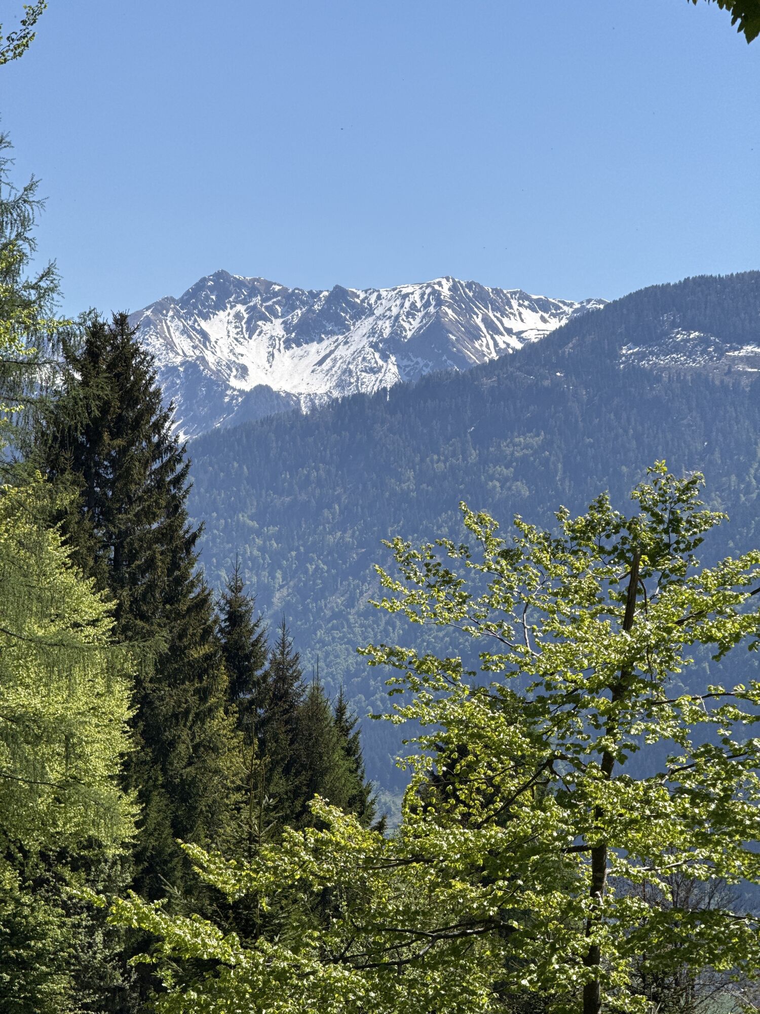
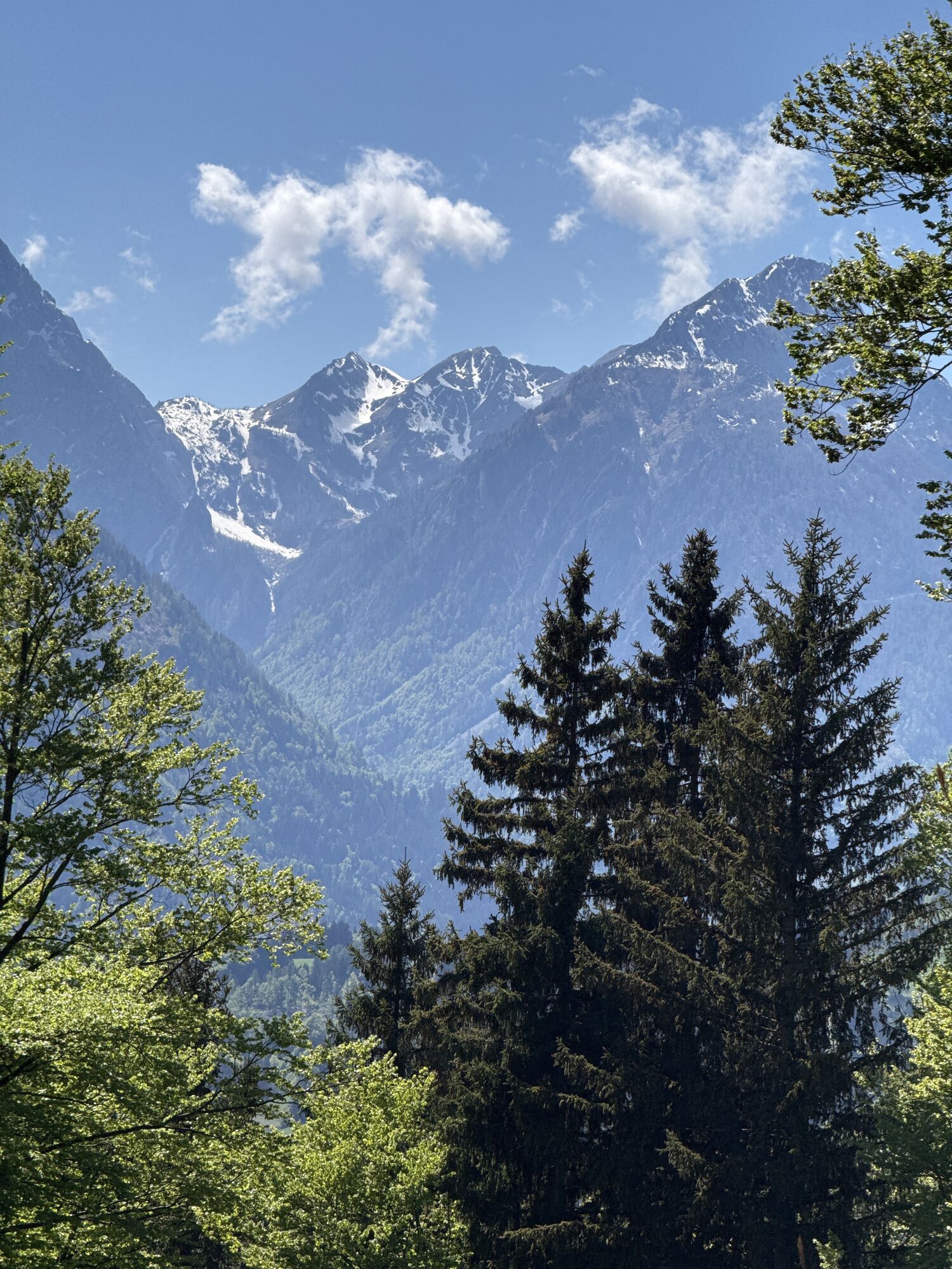
Admittedly: the first part up to the ridges of the Gailtal Alps follows a long forest road. But it doesn't matter, because as soon...
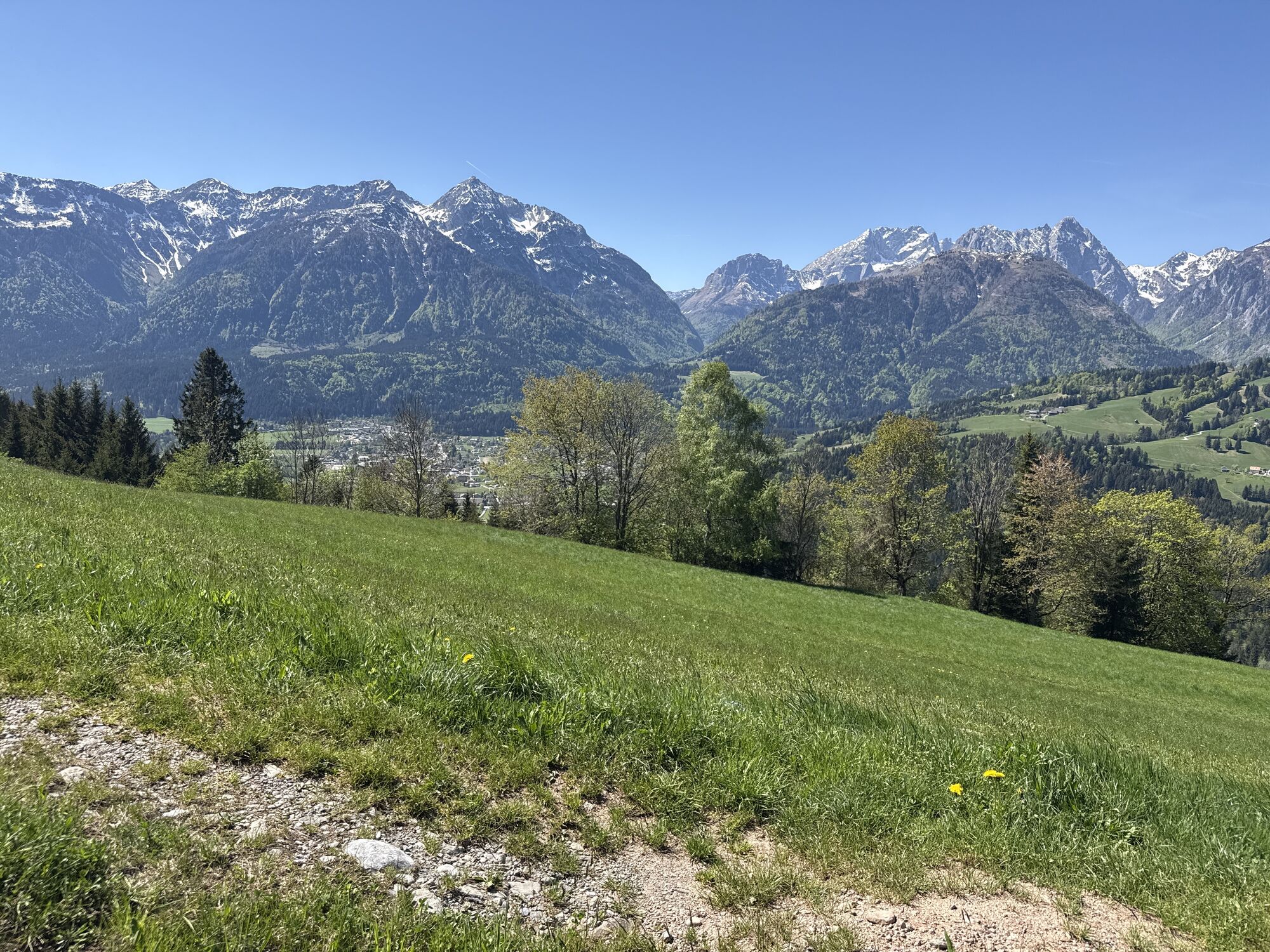
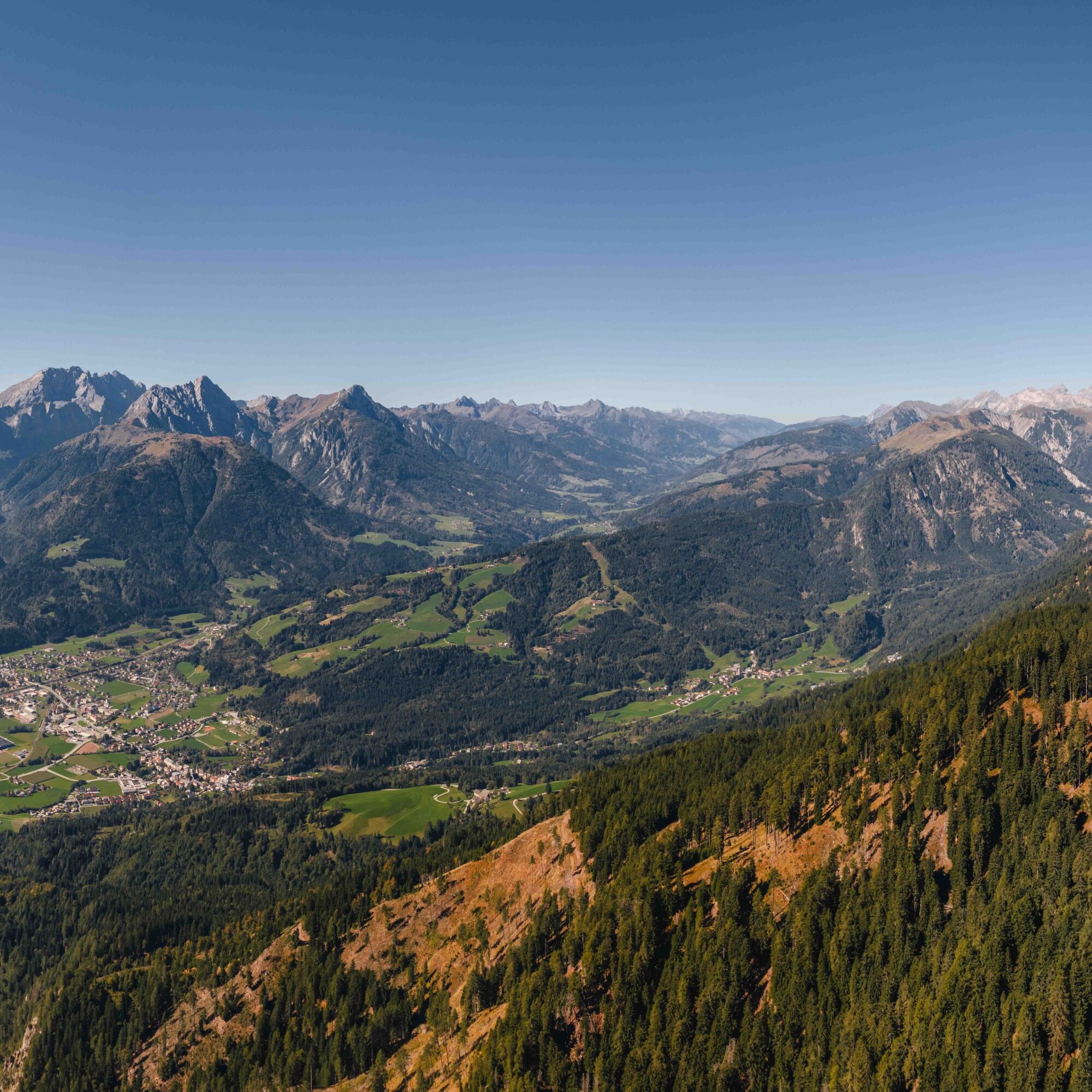
Admittedly: the first part up to the ridges of the Gailtal Alps follows a long forest road. But it doesn't matter, because as soon as you reach the lonely alpine pastures along the way, all hardships are forgotten: light larch forests, sunny alpine pastures and an endless calm around you fill you. Once on the ridge, you have a wonderful view of the Carnic Alps, the last mountain barrier on your way south and to Italy. The long descent leads over beautiful paths down to the mountaineering village of Mauthen, a historically well-known hub between the Gail Valley, Plöcken Pass and Gailberg Heights.

Here you choose the right forest road towards Dellacher Alm and shortly reach a nameless gentle saddle between Jukbichl and Jauken. The ridge height of the Gailtal Alps is reached and you have a wonderful view of the Carnic Alps. You walk past the Plonalmlacke to a right-turning alpine road towards "Dellacher Alm – Stelzling". It takes you west at a constant height to a fork right in front of Dellacher Alm. You choose the left alpine path and walk right past the alpine farm. You follow the sign "Stelzling" no. 240 to the right, until a few meters later hiking trail no. 240 "Stelzling left downhill" leads. It takes you quite steeply but nicely through forest 250 meters downhill to the Stelzlin hunting huts (1,387 m).
Now 30 m right up the alpine road until on the left hiking trail no. 228 leads down over a meadow towards Dobra-Kötschach. You walk downhill through the meadow until shortly after the path leads back into the forest. Down the path to a forest road, straight ahead, past a tool shed on the right and follow the forest road. At the right curve (about 30 m later) over the path to the left through the forest to the lower forest road. You cross this one (marked wooden stamp) and walk through the next piece of forest to an old tractor road. Straight up a counter ascent until you reach the very good forest road again (signpost "Dobra – Kötschach no. 228"). Follow this forest road about 400 meters downhill to the next signpost, which is located on the left side of the road. Opposite on the right is a nice resting place below Martele with views of Kötschach-Mauthen and the Carnic Alps around the Plöcken Pass.
Right down the old meadow track and past the top of a house again into the forest. Shortly you come onto the paved road. This road a little uphill directly to the farm of Dobra at an altitude of 1,056 m.
A signpost leads you further down the meadows on the left directly to another signpost with a stamping pad. Here you again have a nice view into the valley but also of the Blumenberg Mussen. Right over the pasture areas and always crossing horizontally on the path (wooden stamp), past a Martele and further over the meadow path downhill to the next signpost with the inscription Kötschach. Now downhill to the lower meadow path and then further over the meadow (ruined hut) into the forest. Through the forest to the crossroads and
sharp left downhill further over the well-marked forest road. At the next signpost left further to the bridge (signpost) and down the asphalt road until you reach the federal highway (B110).
Here you can stop at the opposite forest tavern. But you also follow the federal highway for about 100 m to the right, cross it and turn left into a path. After a few minutes you cross the Laaser Bach over a bridge and 50 m after the bridge turn left into a hiking trail. You follow it quite idyllically always along the Laaser Bach towards Kötschach, until it turns into a driveway and after another 150 m crosses the Laaser Bach. Now you stand in the middle of Kötschach at the Bakery Café Confectionery Matitz.
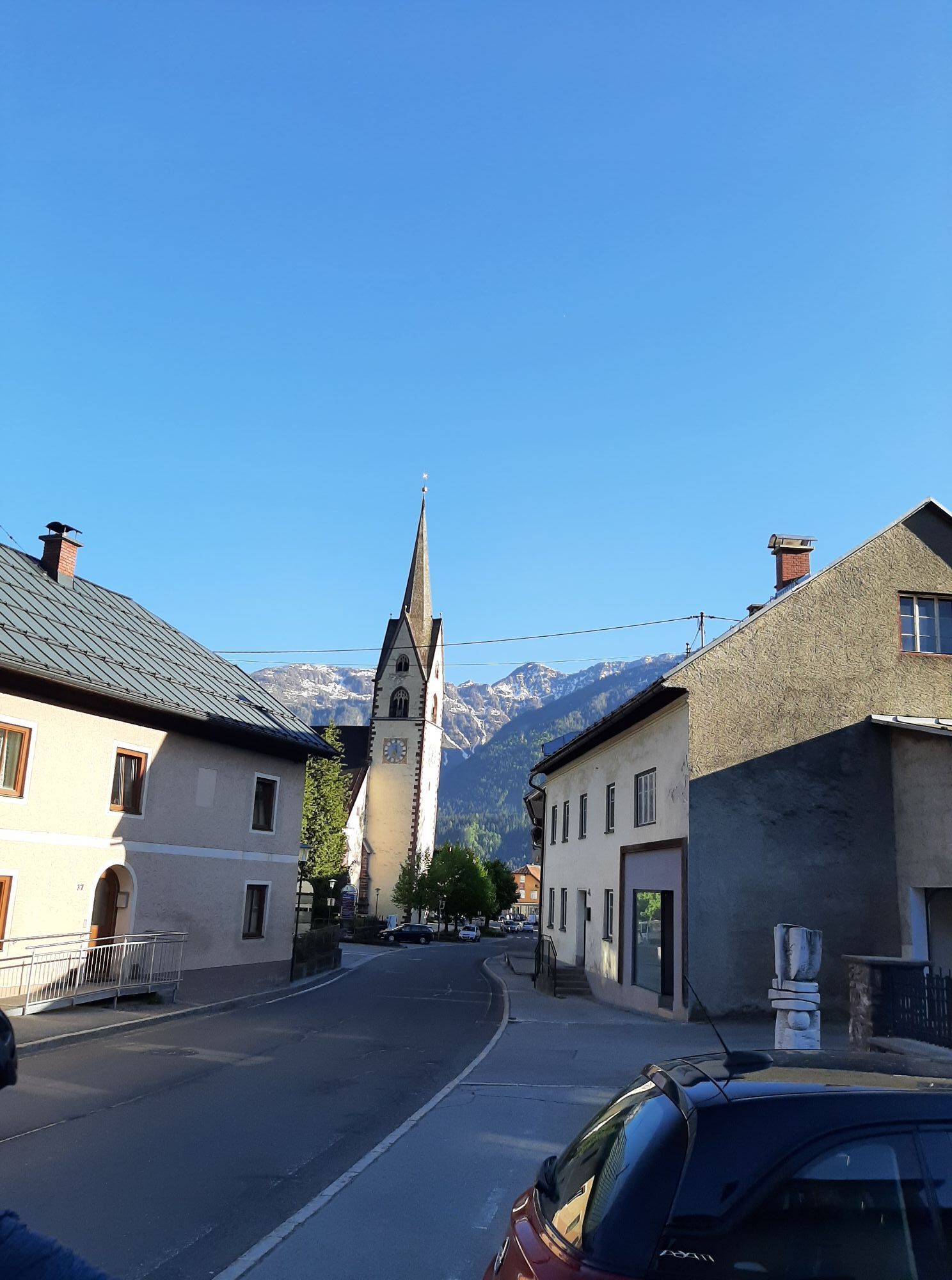
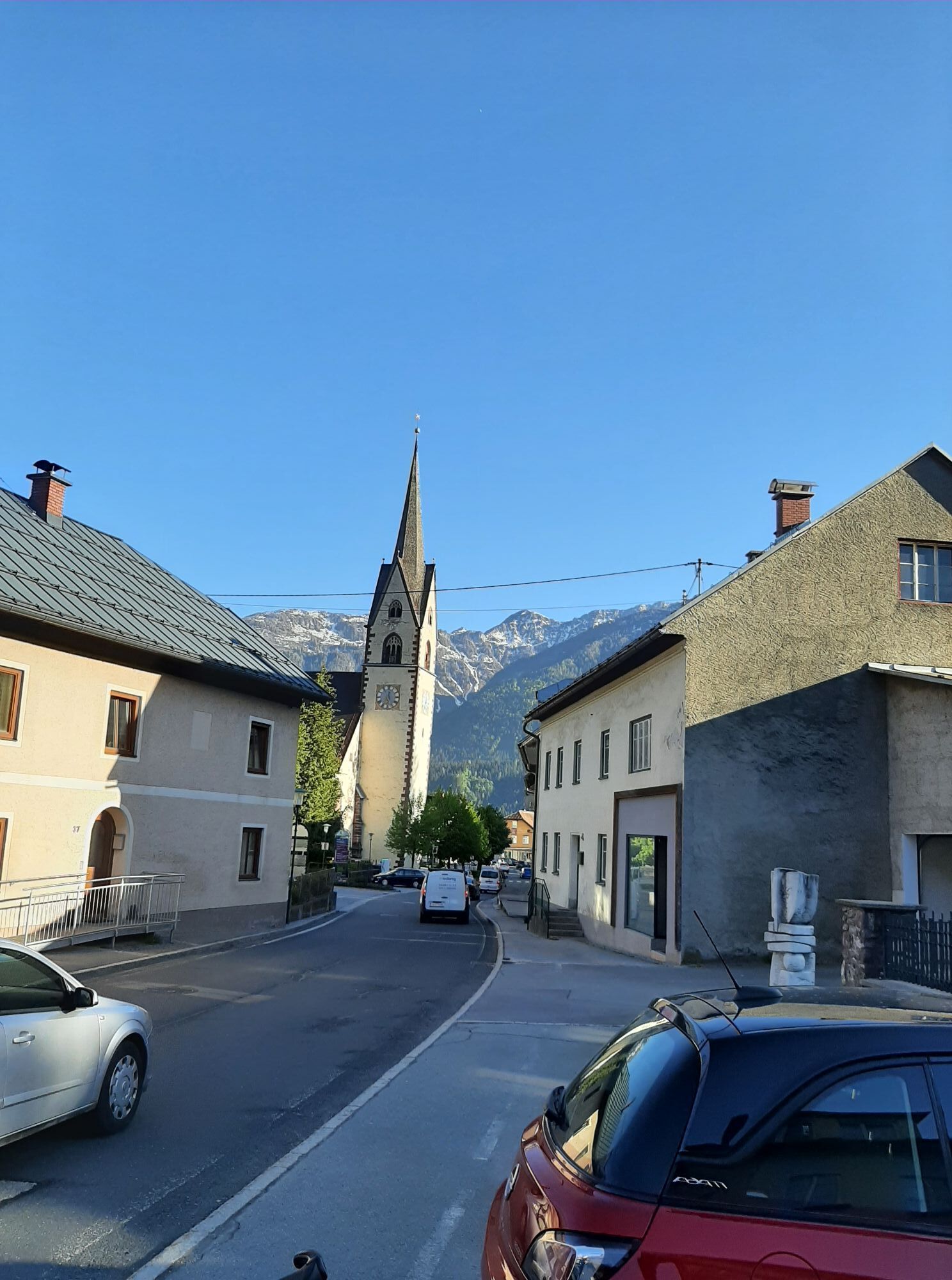
Left further and soon to the Kötschach Cathedral – the visit is definitely worthwhile. Over the sidewalk through the town center of Kötschach and over the Gail bridge to the mountaineering village Mauthen. Your stage ends at the village square of Mauthen – the Loncium private brewery is located immediately east about 70 m from the village square.
The small private brewery Loncium is now the most famous small private brewery in Carinthia, which has gained supraregional recognition among connoisseurs, especially because of its experimental spirit.
Included services: The history of Loncium beers Tour through the beer manufactory Interesting facts about the raw materials and their origin
More information: https://www.bierhotel-loncium.at/biermanufaktur/
Bakery Café Confectionery Matitz (Kötschach; 46.677942, 13.005349)
Saddler experience offer from own hand: Slow Food baking workshop in the bakery master's bakery.
Parcours populaires à proximité
- 4,9
Pirknerklamm (C)
moyenVia ferrata 2 km - 4,0
Emberger Alm - Hochtristen
moyenRandonnée 9,50 km - 4,8
Piste cyclable de la Drave R1
facileFaire du vélo 75,9 km - 4,9
Karnischer Hauptkamm - Hohe Warte 2.780m - Hike and Bike
difficileRandonnée en montagne 19,5 km - 3,9
Randonnée au sommet du Hochstadel
moyenRandonnée 7,83 km - 3,7
Cellon-Stollen und Senza Confini auf den Cellon und Steinberger Weg zum Abstieg
moyenVia ferrata 7,09 km - 3,6
RW_N61 Kleiner Pal (1.867 m)
difficileRandonnée 6,52 km - 4,3
WW_N18 Paradis floral Mussen
moyenRandonnée 6,52 km - 5,0
Valentin-Wolayersee-Runde
moyenRandonnée 12,4 km - 4,5
03 Südalpenweg, 24. Etappe: Valentinalm - Wolayerseehütte
moyenChemin de Grande Randonnée 9,63 km
Randonnée et suivi


Ne manquez pas les offres et l'inspiration pour vos prochaines vacances
Votre adresse électronique a été ajouté à la liste de diffusion.