


1st stage: Trans Karavanke MTB

IMPORTANT! Due to environmental restrictions, use of the section from road in Komatevra towards Brsna lesa is only permitted from 1 July to 30 November! Outside this period the Trans Karavanke tour starts...
IMPORTANT! Due to environmental restrictions, use of the section from road in Komatevra towards Brsna lesa is only permitted from 1 July to 30 November! Outside this period the Trans Karavanke tour starts / ends in Medvodje.

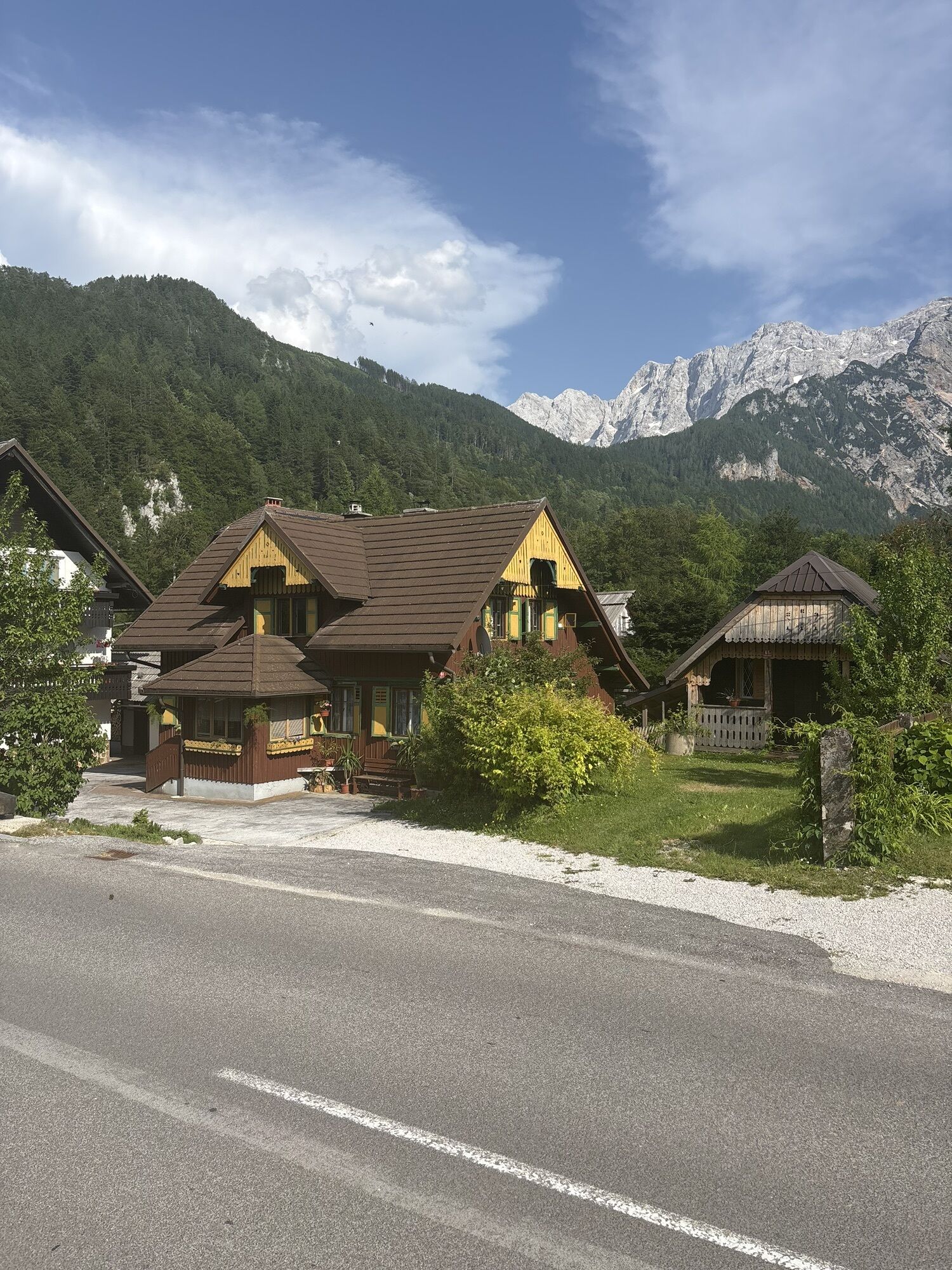
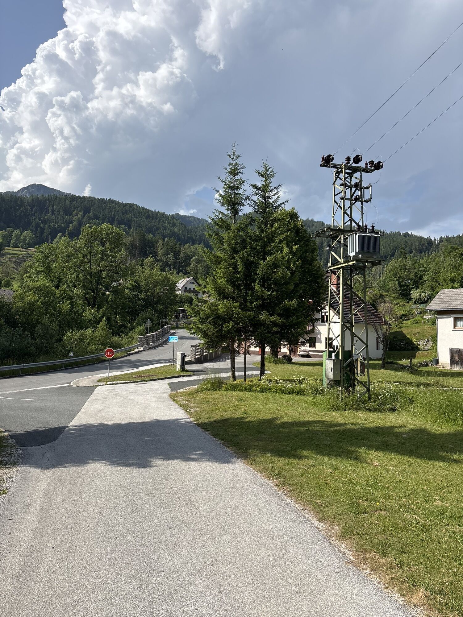
The starting point of the Trans Karavanke MTB Trail is in Zgornje Jezersko. At the Tourist Information Center (TIC Jezersko) we will find the first checkpoint with a stamp, then head along the main road towards the Kokra Valley.
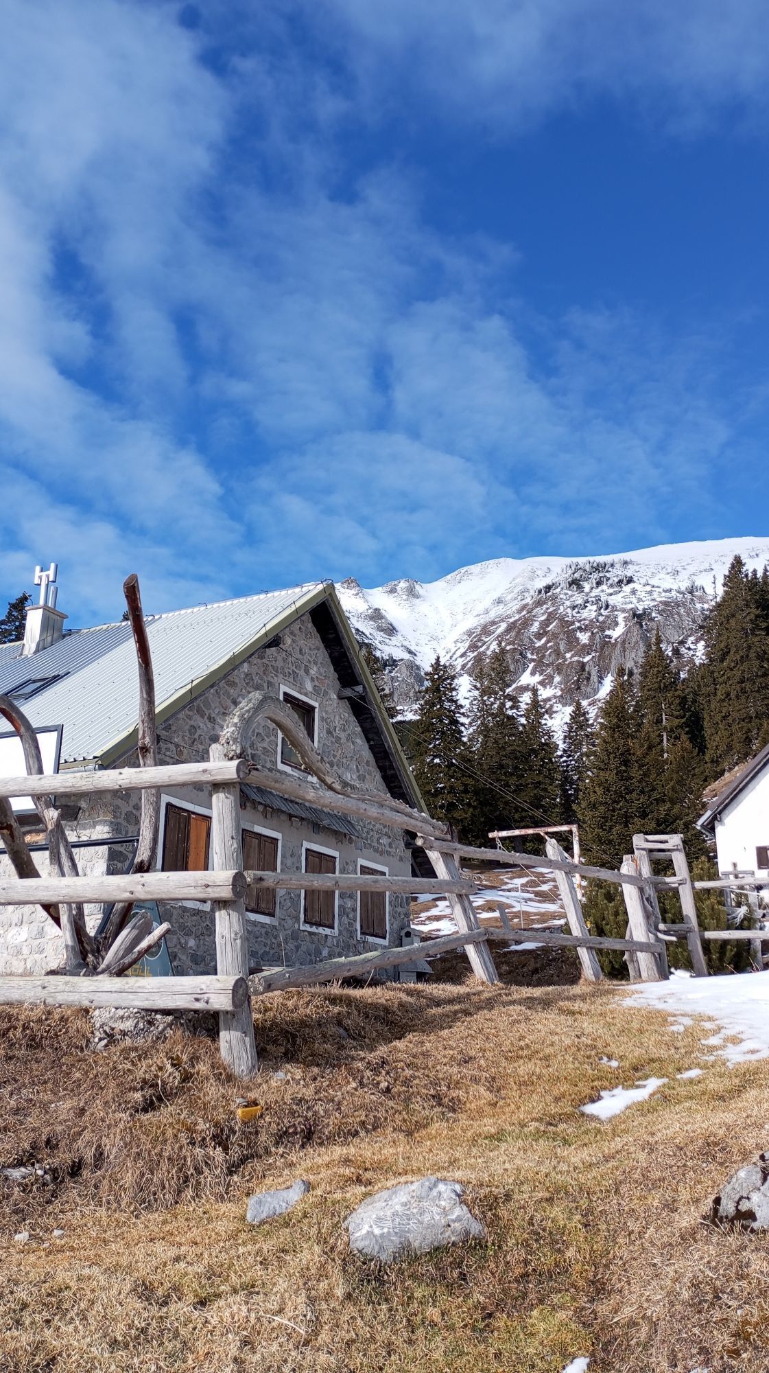
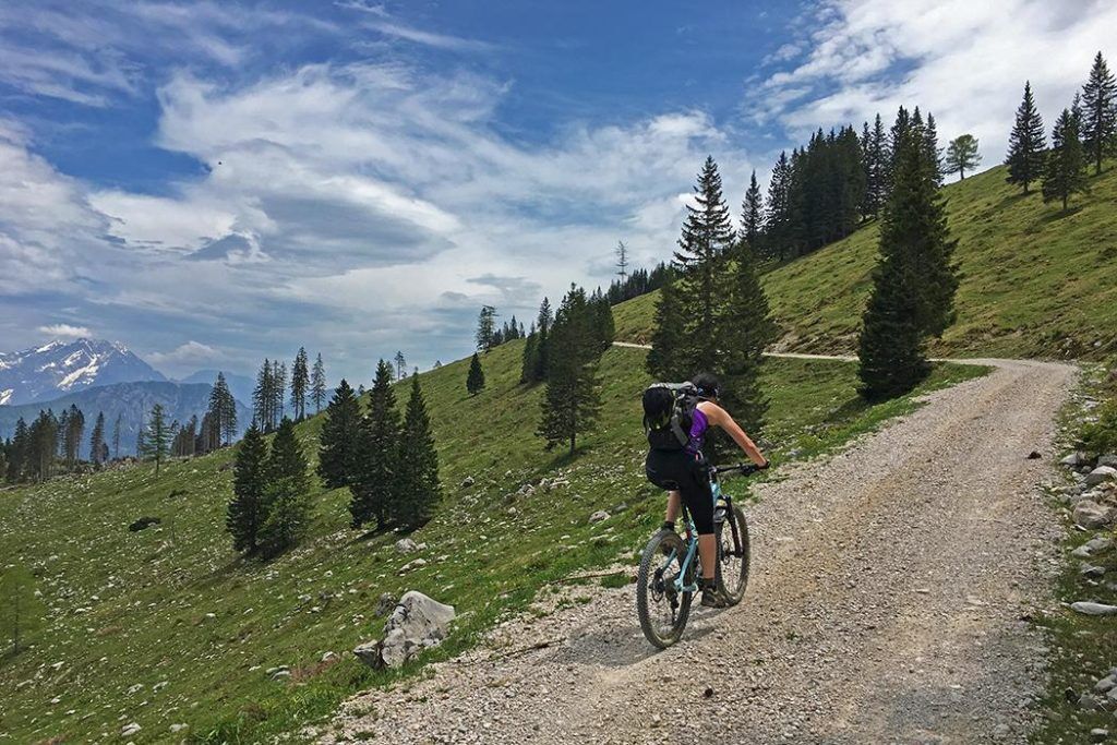
At the end of the village, we turn left onto a side road, following which we continue our journey towards Spodnje Jezersko. Our shortcut will cross the main road (carefully!) and rejoin it for a short time, but already at the first houses in Spodnje Jezero, turn right across the bridge towards PeÄovnik and Komatevra. An ascent of about 7.4 km begins and with a height difference of 750 meters. In the lower part we follow the ascent along the river Kokra, the asphalt behind the settlement of Bajte soon turns into a gravel forest road. We will pass by the old quarry, higher we can see the partisan hospital Krtina along the way. At the last right turn, under the remains of the PeÄovnik barracks, turn onto the path that leads left up towards Brsna wood. (If you came to the end of the road and to the ruins of the former border barracks of PeÄovnik, you went about 300 m too far. Go back to the last sharper bend.) This is followed by a shorter, more difficult section (about 500 m) where some steeper sections may need to be walked by the bike.
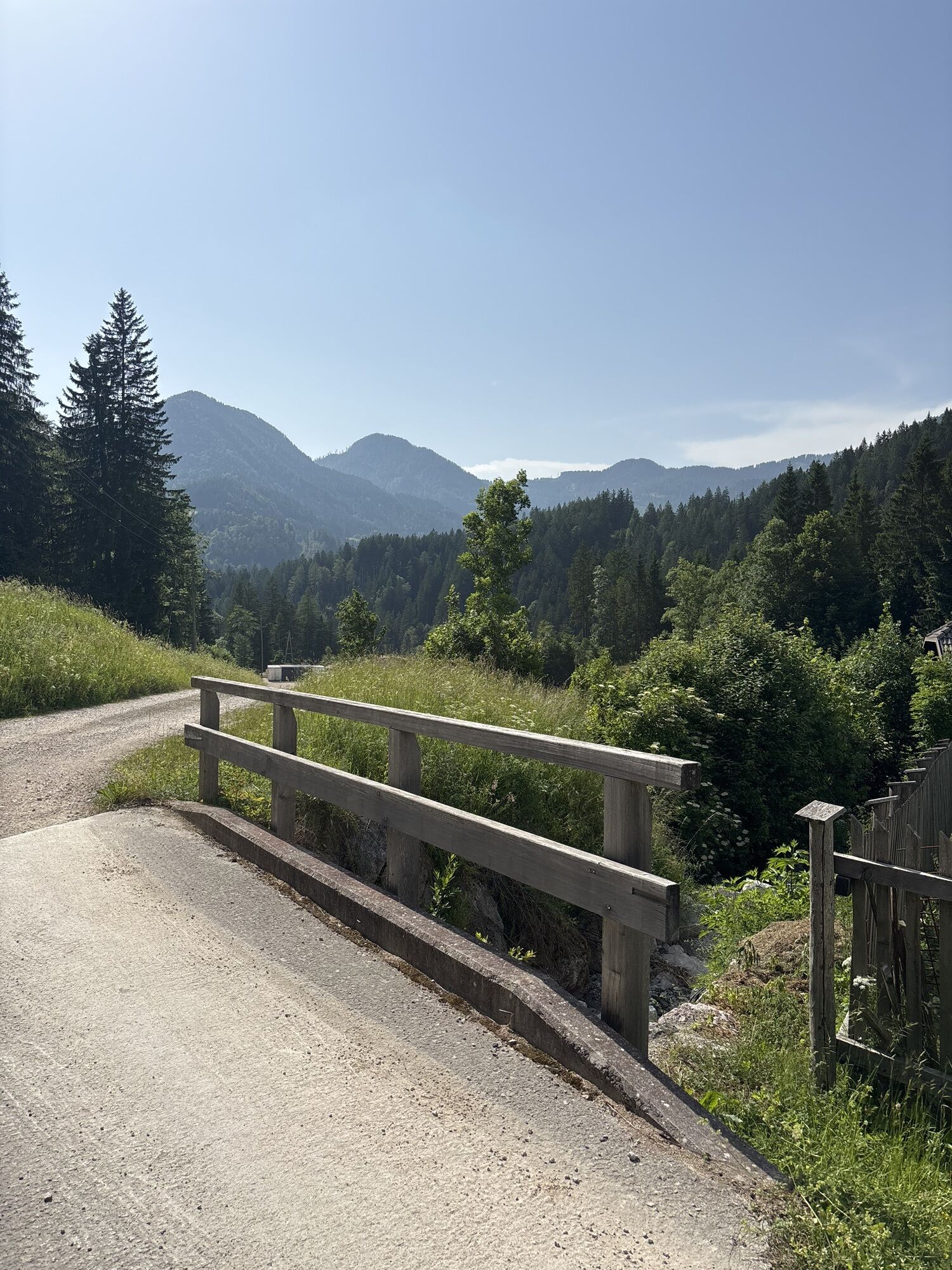
At Brsna lesa, the climb is completed – when we reach the saddle on the TržiÄ side, we descend to the gravel road, turn left and follow the road and signposts down towards Medvodje. At the sharp right bend, we follow the main road to the right, at the junction with the road to Brsnina planina left, above Bukov Hill at the intersection of four roads again to the right and at the next intersection below Bukov Hill straight down. When we reach the valley of Tržiška Bistrica, we turn left towards Medvodje, which leads to a good kilometer of easy descent.
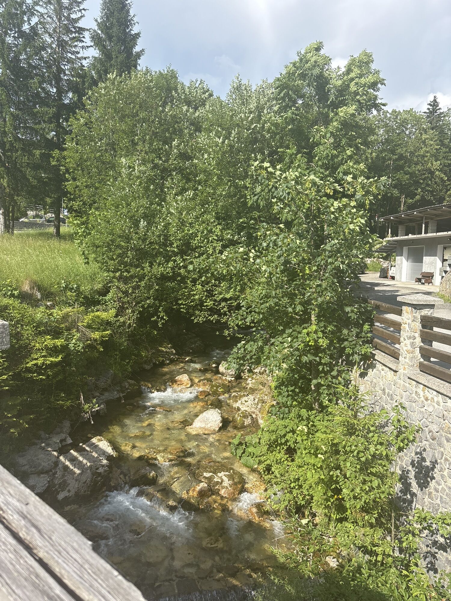
Below the houses and in front of the main intersection in Medvodje, there is a sharp left turn leading to Stegovnik Waterfall – although the waterfall lies 1 km away from our path, it is worth climbing up to it and seeing it.
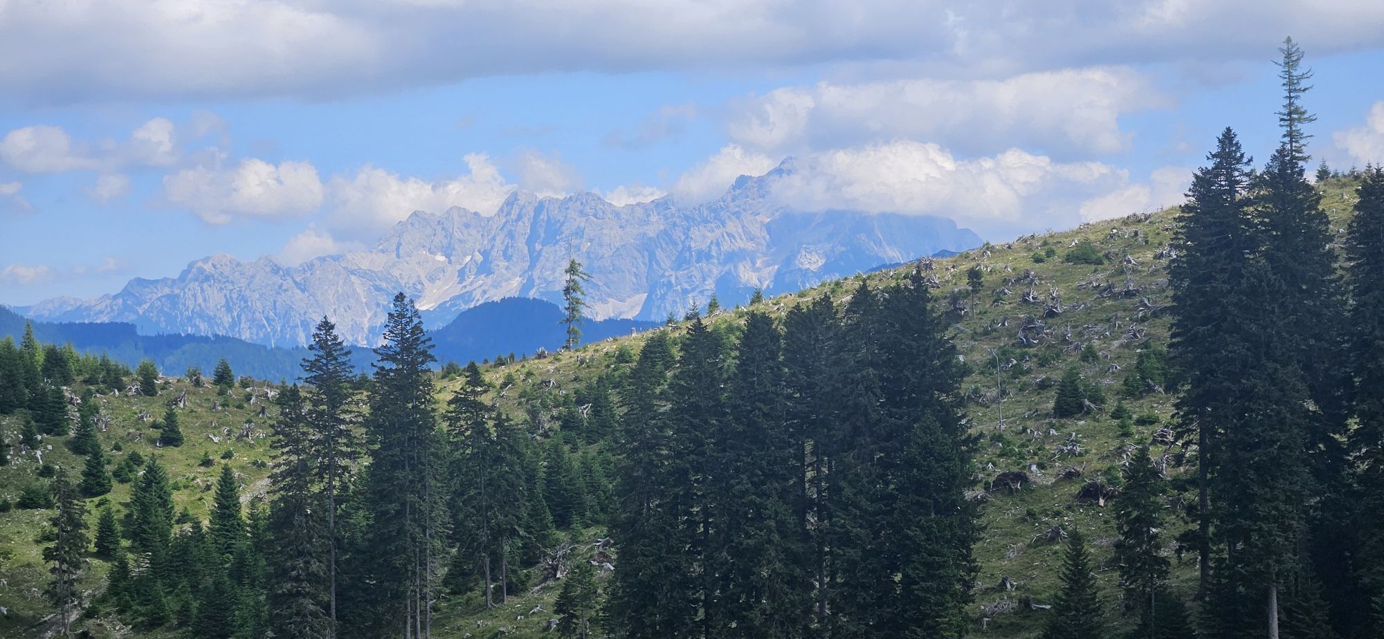
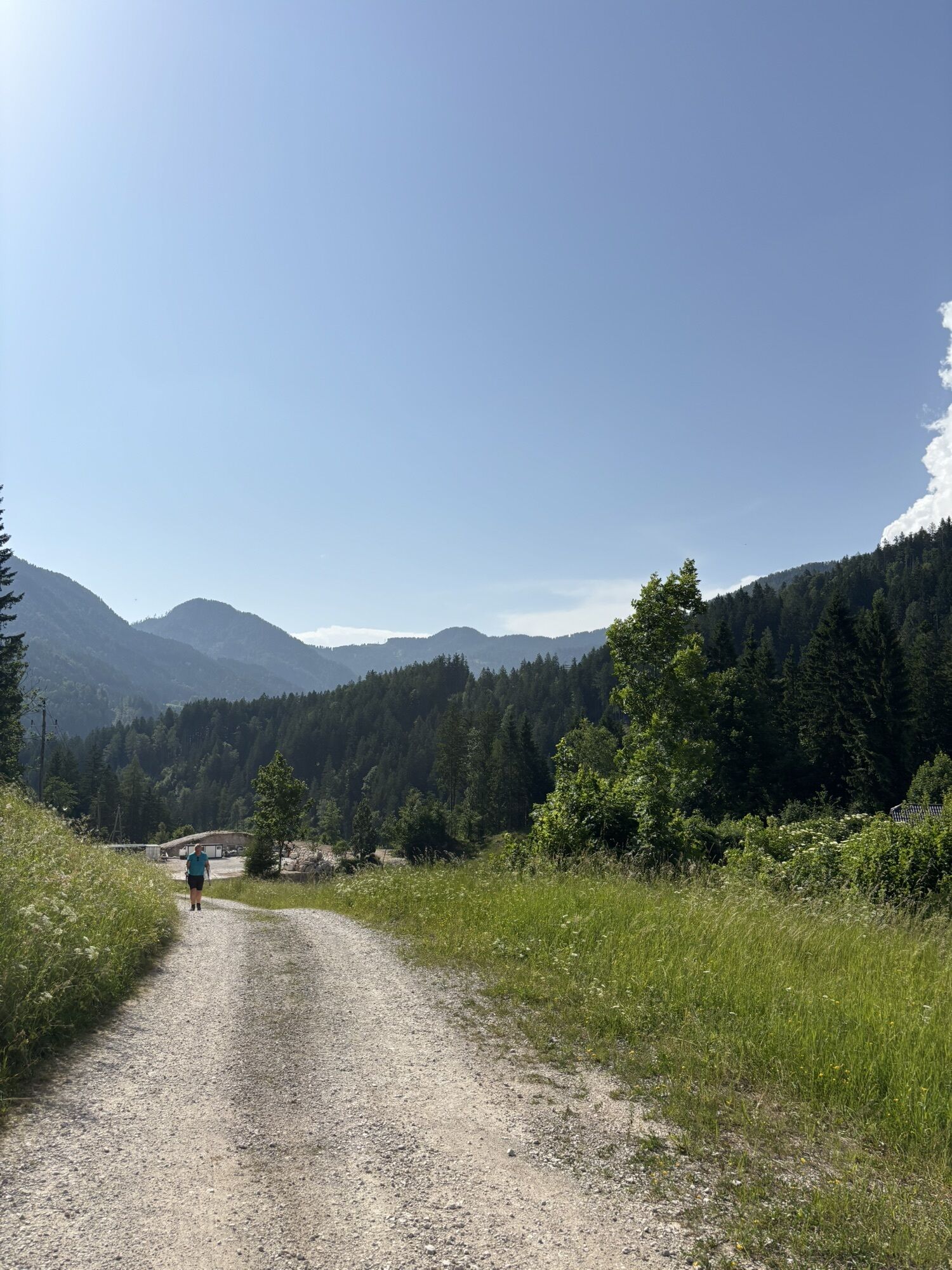
At the crossroad in Medvodje, in case of bad weather or lack of time, we have the option of descending the road through the Dovžan Gorge to TržiÄ. Otherwise, we turn right and start another ascent at this stage – it is 13.5 km long, and together we will climb another 850 altitude meters along the slopes of Košuta to the finish line on Kofce.
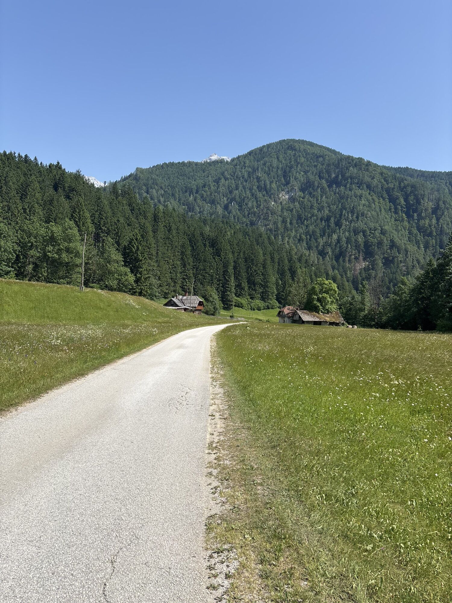
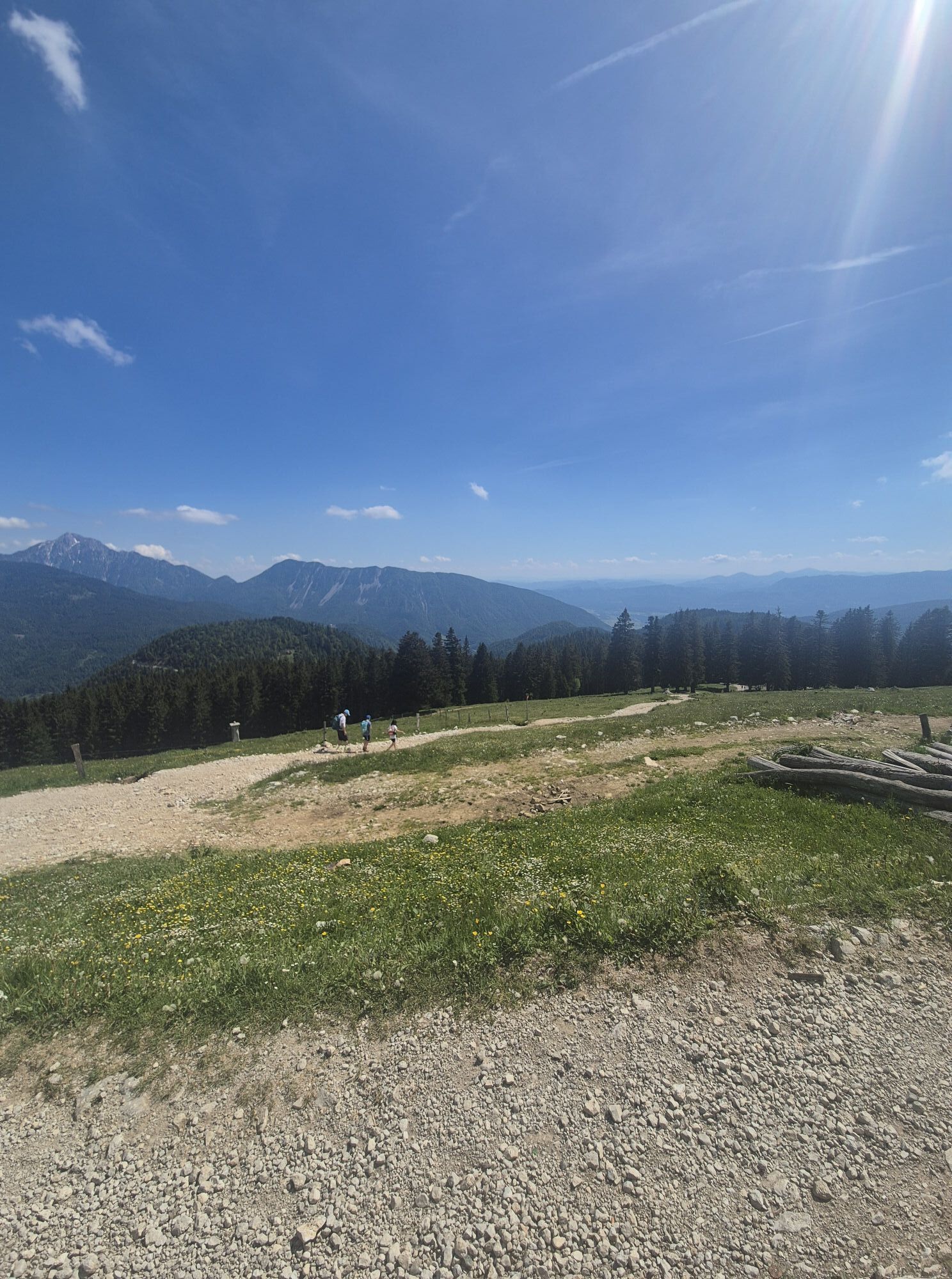
The second part of the trail also mostly leads along well maintained forest roads. We first ascend the by stream of Košutnik. At the intersection at the smaller building, we turn left towards Šija. After a shorter flat part, a steep ascent and then a pleasant, sometimes flat, part of the road through the woods to the junction for Pungrat and Šija. Turn right here, and at the following crossroads follow the signs for Šija or Pungrat. After a kilometer and a half, we will reach the picturesque Pungrat Mountain Pasture, where in the summer we can enjoy home-made dairy delicacies. We have already climbed above the forest border, so we can enjoy the beautiful views. As we continue towards Šija on the road, we soon reach the highest point of the day (1,555 m), a stop with good refreshment can also be enjoyed at the Šija Hut (Taborniški dom Šija). The last part of the route follows the trail that leads from the Šija mountain pasture past the Ilovica mountain towards the finish of the stage – Dom na Kofcah. On the short but steep road to the mountain hut we can check if we have any energy left after a long day.
From Kranj- direction Jezersko
You can arrive to Jezersko with local bus.
Payable and free parking spots available
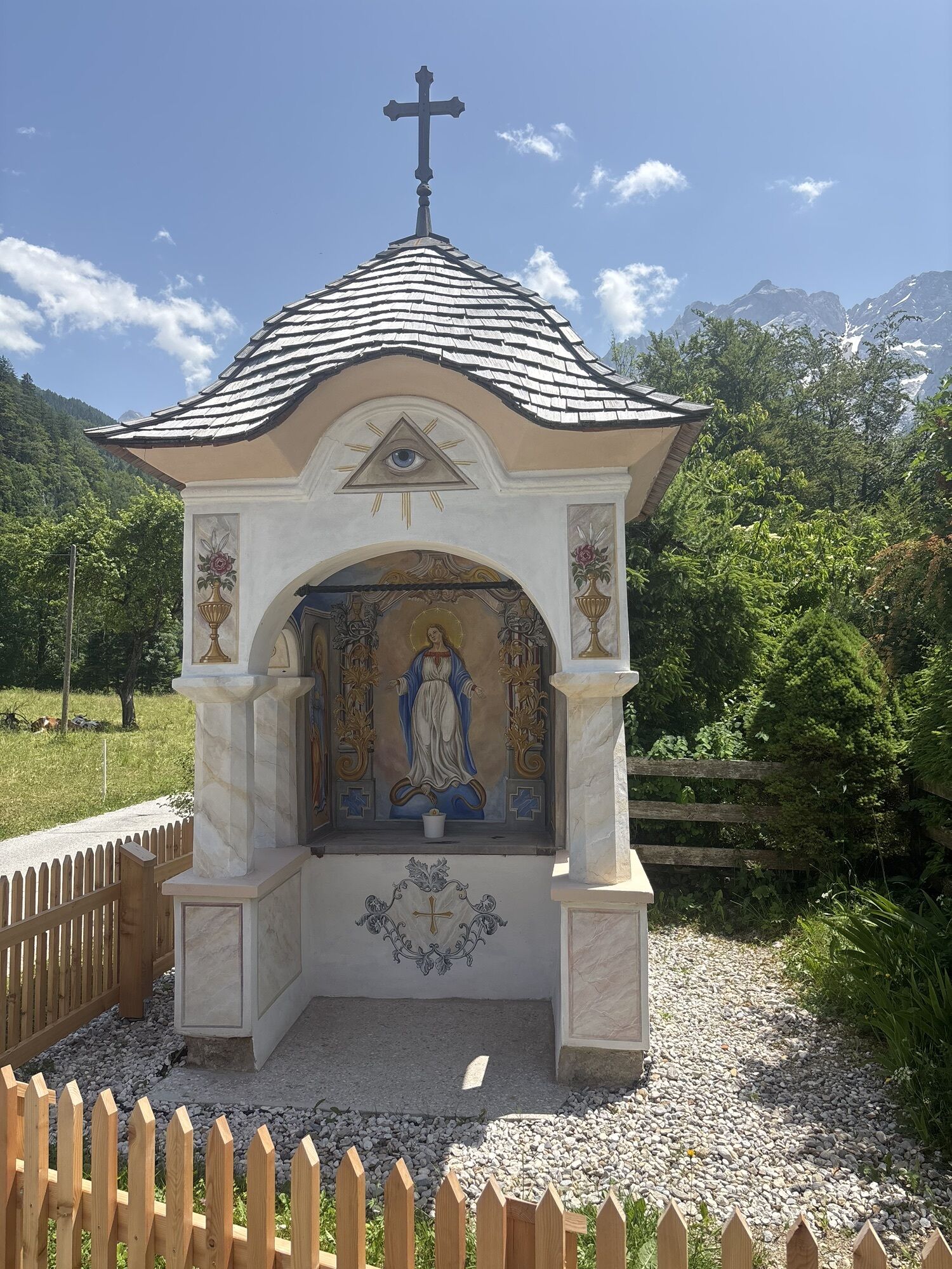
Sights along the way:
Jezersko – Planšarsko jezero
Partizanska bolnišnica Krtina
Stegovniški slap
Planina Pungrat
Taborniški dom Šija
Parcours populaires à proximité
- 4,8
Bad Eisenkappel: Hochobir
Randonnée 5,50 km - 3,9
Tscheppaschlucht Ferlach
facileRandonnée 5,90 km - 4,9
Eisenkappler Hütte - Hochobir
moyenRandonnée 8,86 km - 4,6
Chemin d'expérience aquatique Hainschgraben
moyenRandonnée 9,23 km - 4,5
Vom Seebergsattel auf den Kärntner Storschitz (Rundweg)
difficileRandonnée 8,30 km - 4,4
Wandertour Hochobir / Zell
moyenRandonnée 5,76 km - 4,3
Rundweg Schaidasattel - Hochobir
moyenRandonnée 16,0 km - 4,5
Via ferrata Lärchenturm
difficileVia ferrata 6,15 km - 4,0
À travers la Tscheppaschlucht vers le Bodental
moyenRandonnée 10,6 km - 4,1
Krainersteig - Kärntner Storschitz
moyenRandonnée 2,70 km

Randonnée et suivi


Ne manquez pas les offres et l'inspiration pour vos prochaines vacances
Votre adresse électronique a été ajouté à la liste de diffusion.