© vaude/Tobias Hauser - Carnica-Region Rosental

© Carnica-Region Rosental
© arco/tina tomasch - Carnica-Region Rosental

© Franz Gerdl - Carnica-Region Rosental
© Waldseilpark Tscheppaschlucht - Carnica-Region Rosental

© Franz Gerdl/ Carnica-Region Rosental - Carnica-Region Rosental
Dates des itinéraires
5,9km
571
- 983m
334hm
57hm
02:00h

- Brève description
-
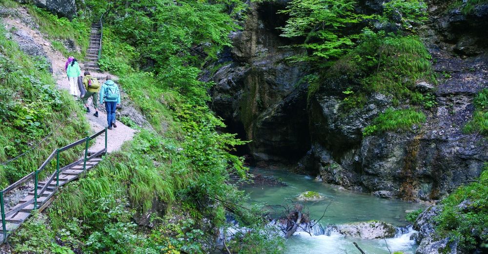
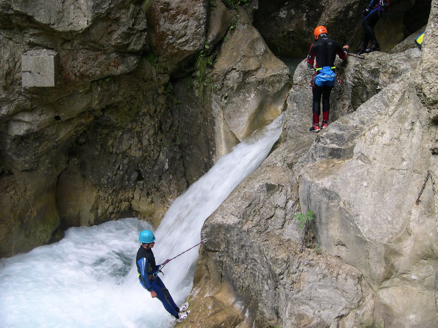
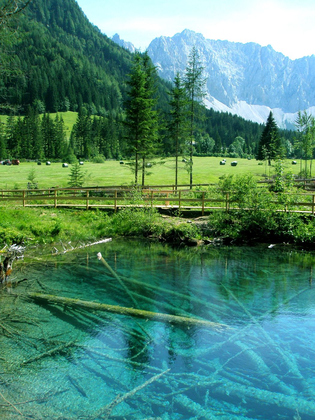
Naturerlebnis pur - stürzende Wasser, steile Wände und tolle Einblicke in die einmalige Pflanzenwelt.
- Difficulté
-
facile
- Évaluation
-
- Point de départ
-
P Tscheppaschlucht
- Parcours
-
Sapotnica2,9 kmTschaukofall3,0 km
- Hauteur maximale
- 983 m
- Repos/Rassembler
-
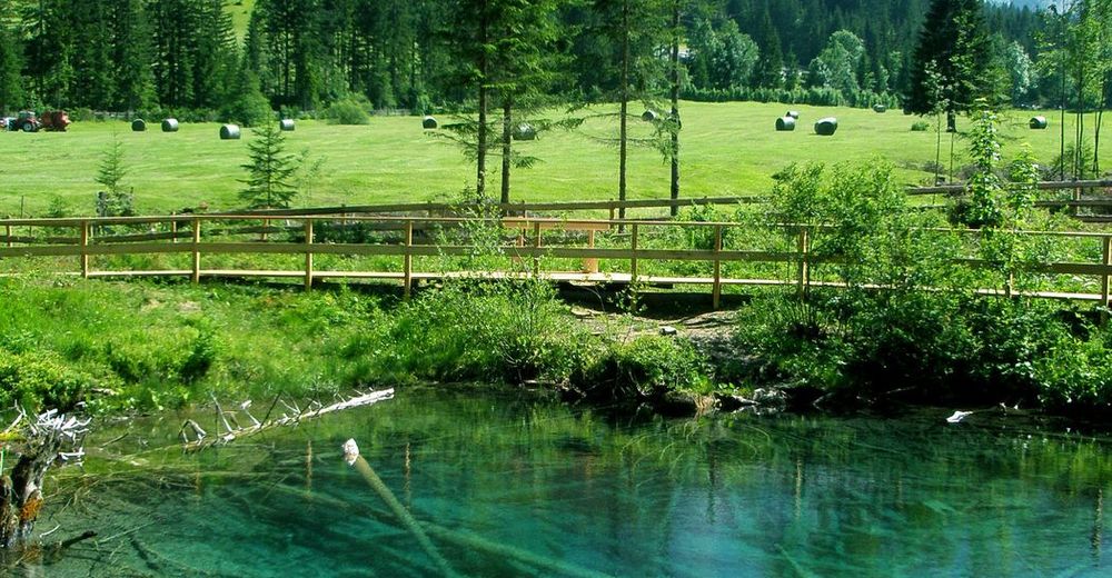
Gasthöfe im Boden- und im Loibltal sowie Windisch Bleiberg
- Cartes
-
WK 234 von Freytag und Berndt, Carnica-Region Rosental
Sponheimer Platz 1, 9170 Ferlach


GPS Downloads


Nature du chemin
Asphalte
Gravier
Pelouse
Forêt
Rocher
Exposé
Autres parcours dans les régions
-
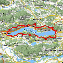
Wörthersee - Rosental
1956
-
Bodental
278