


B30 Kogler cycle path
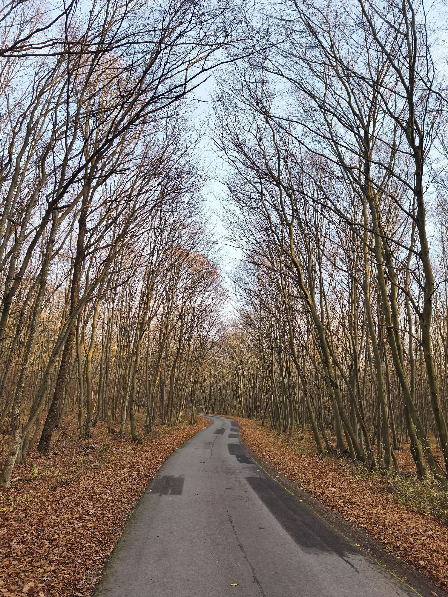
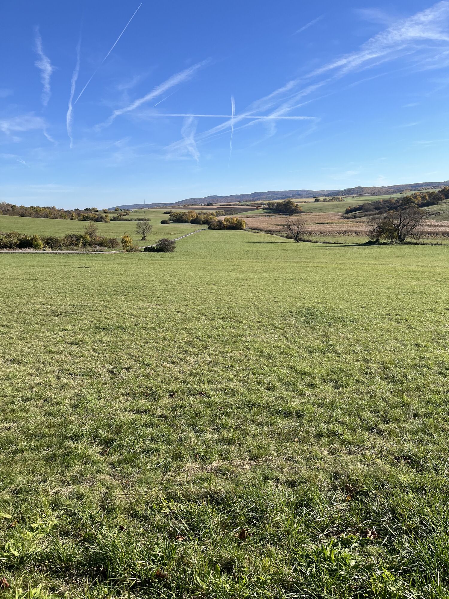

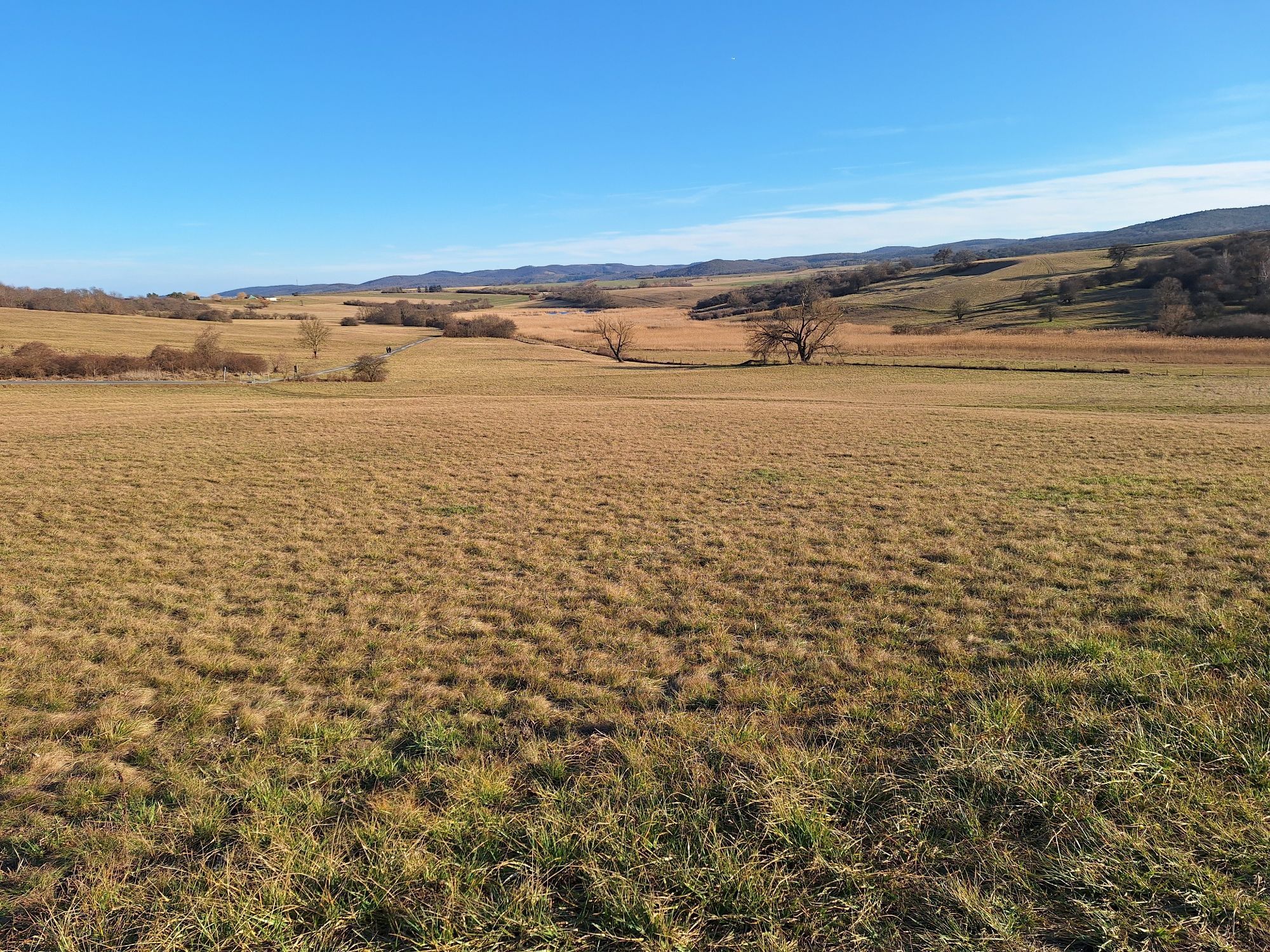
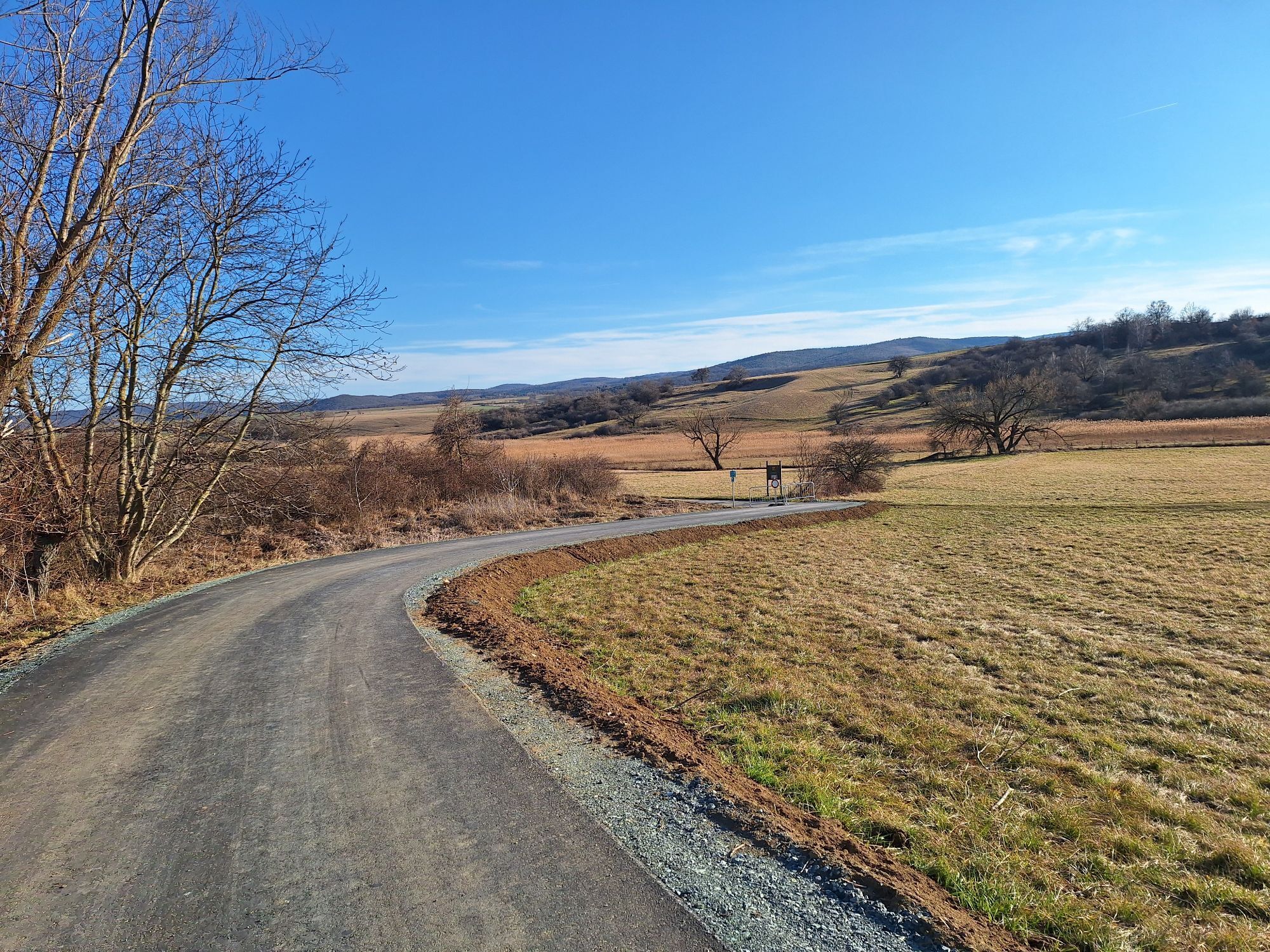

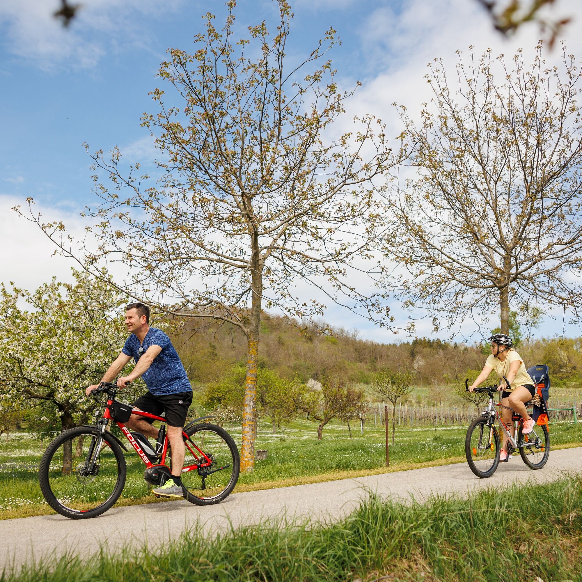
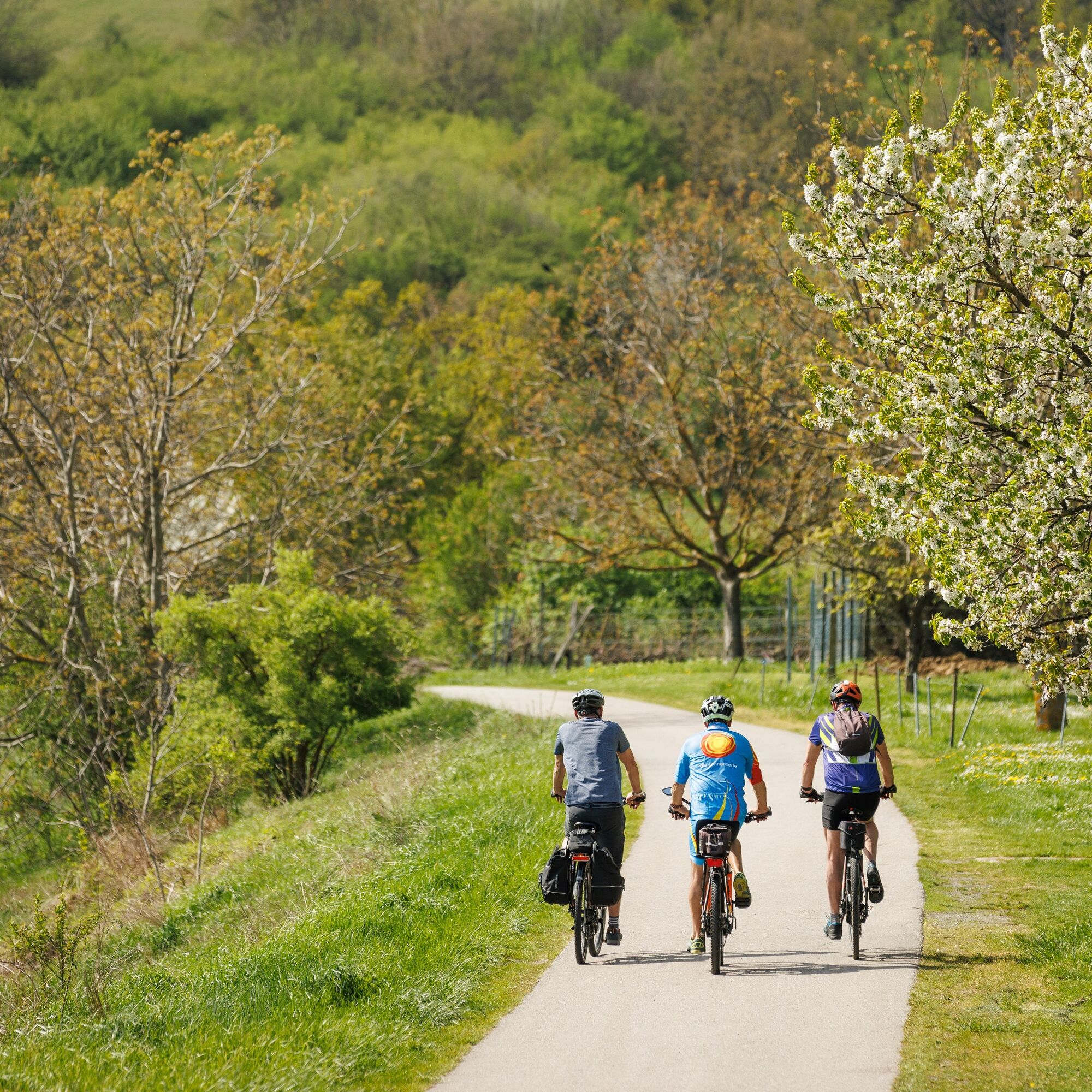
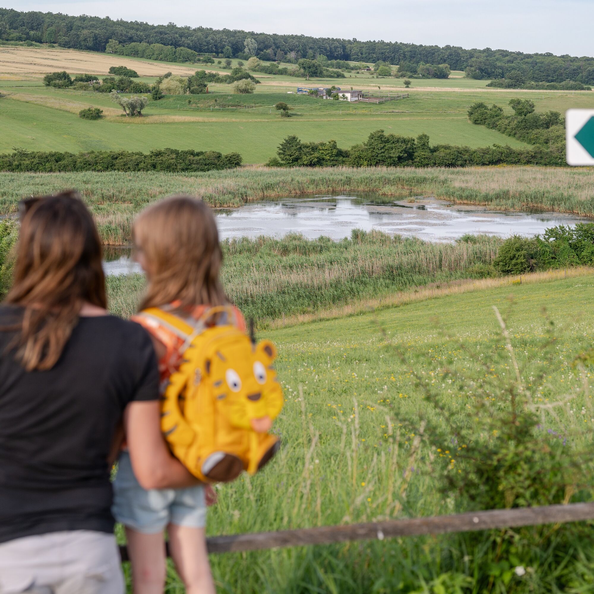
This family-friendly circular route, also known as the “Owl Trail,” offers plenty to discover for both young and old around the Rohrbach Pond Meadows. Throughout the tour, you ride on paved cycle paths...
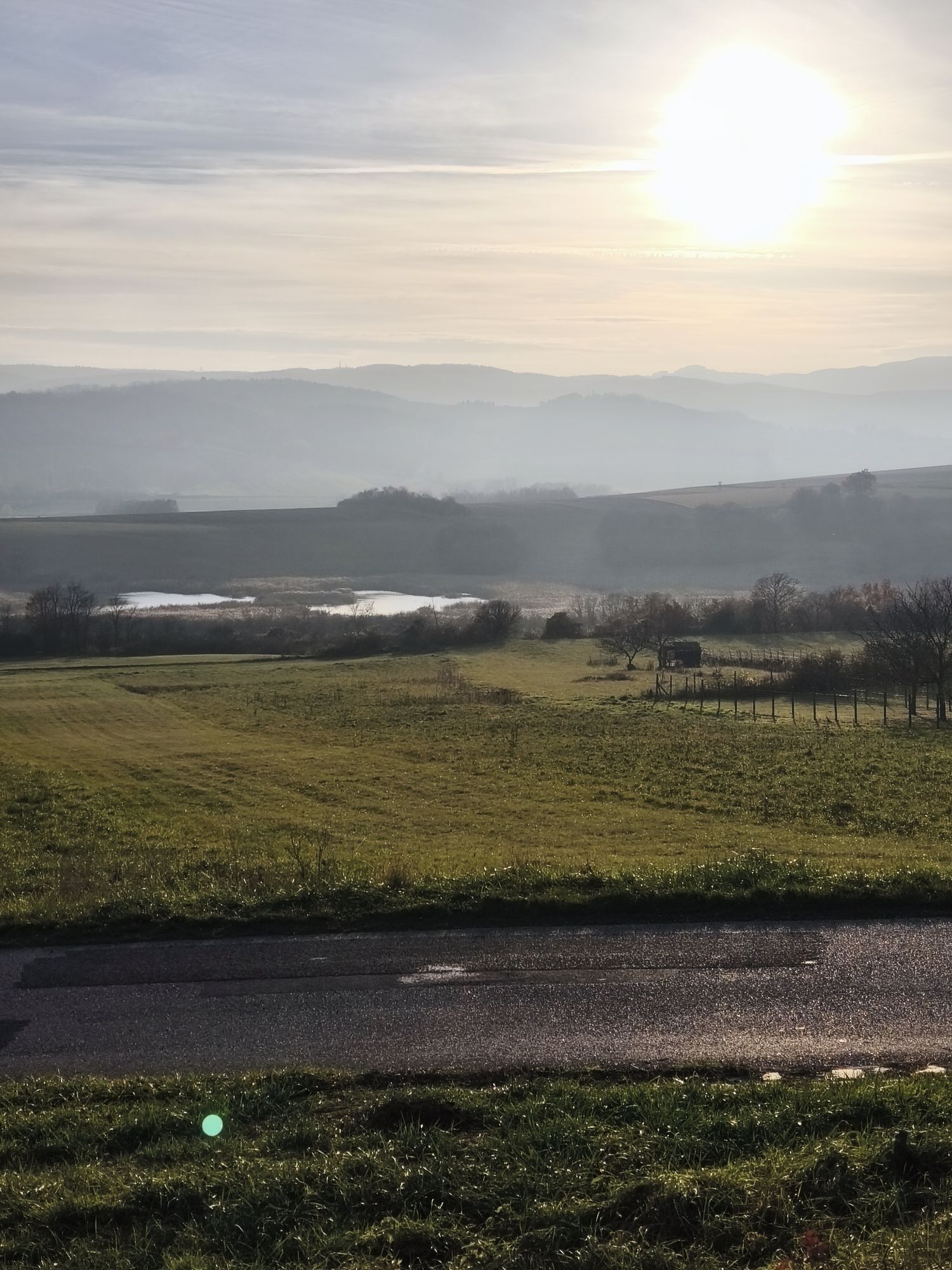
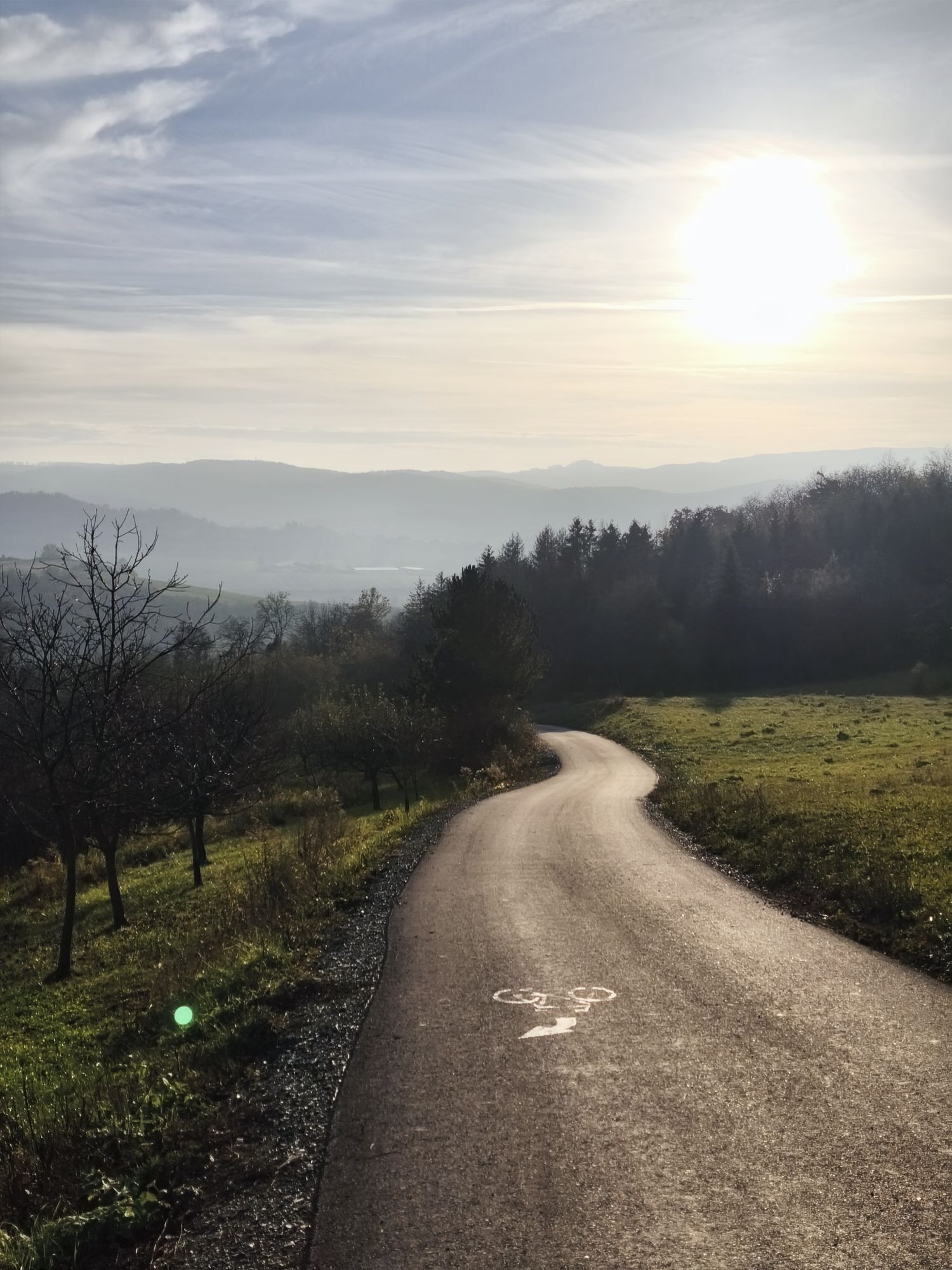
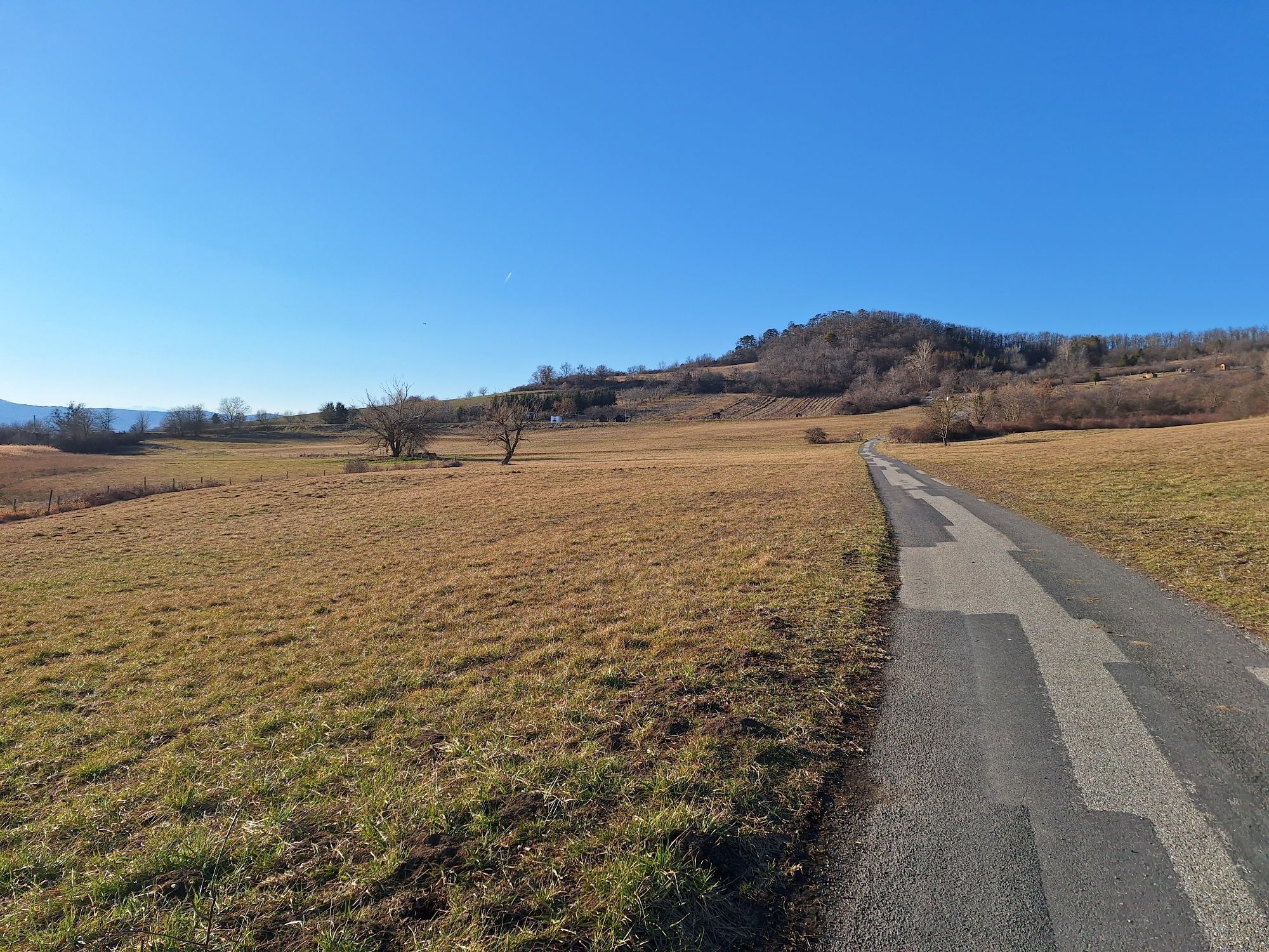
This family-friendly circular route, also known as the “Owl Trail,” offers plenty to discover for both young and old around the Rohrbach Pond Meadows. Throughout the tour, you ride on paved cycle paths and quiet rural roads. The route passes through partly hilly terrain, with a somewhat steep entry near Walbersdorf that provides a bit of a challenge for cyclists.

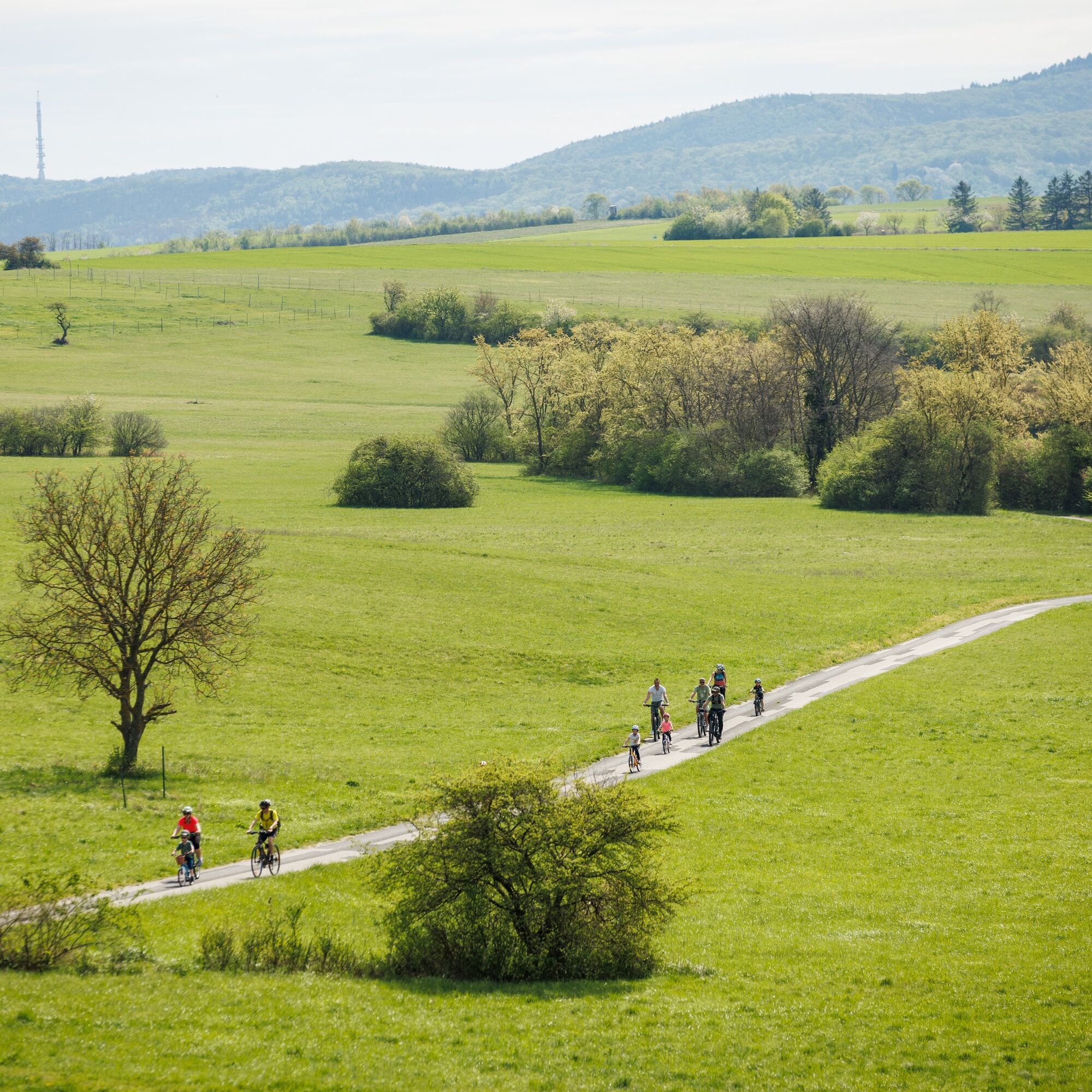
The Koglweg runs entirely on paved roads and covers gently hilly terrain throughout. The route is 42 km long.
Oui
Oui
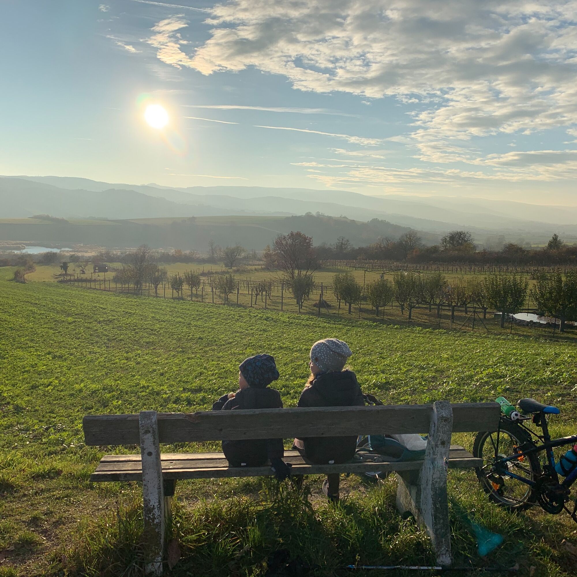
bike helmet, functional clothes, sun and rain protection, snacks, water
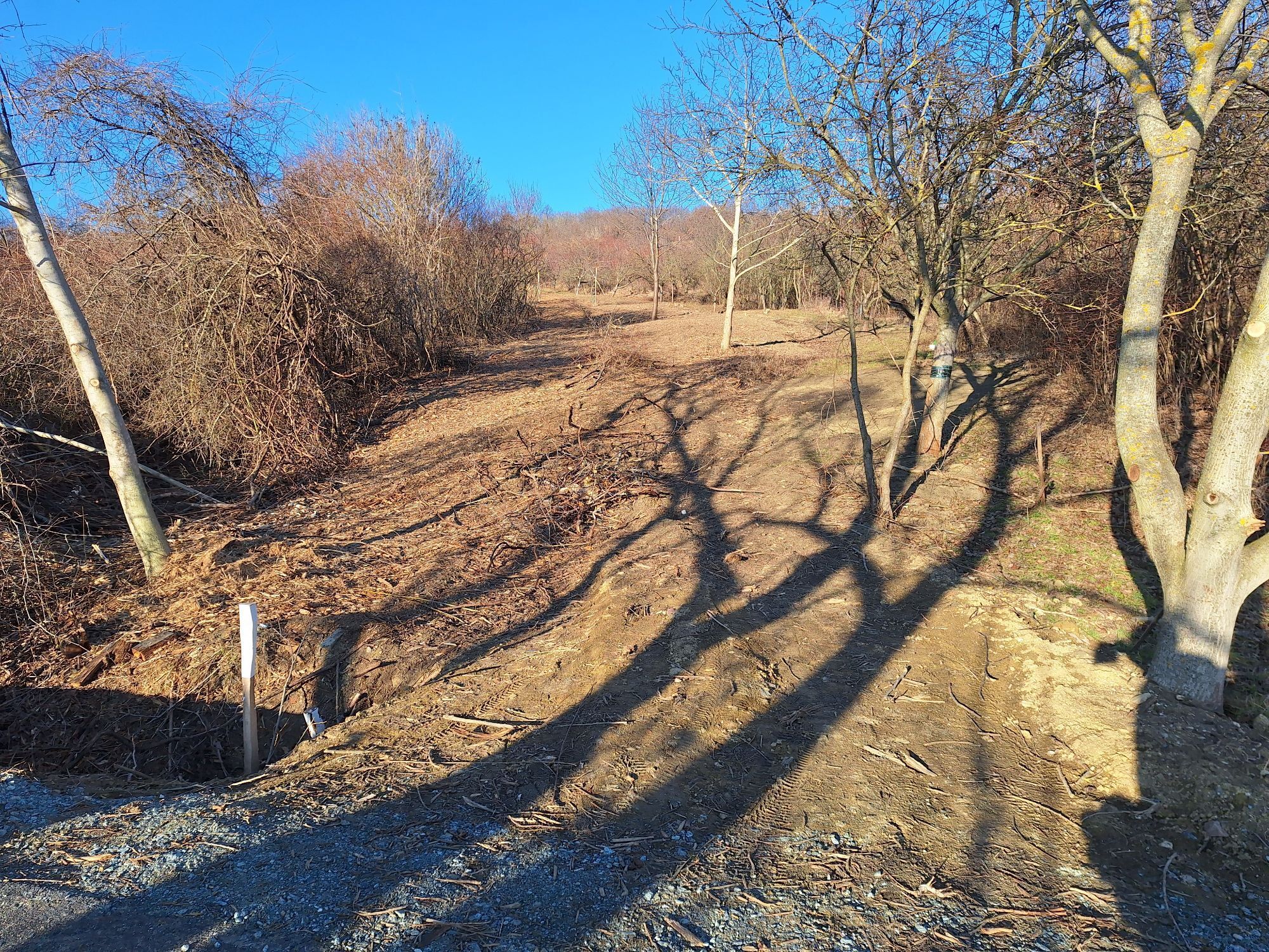
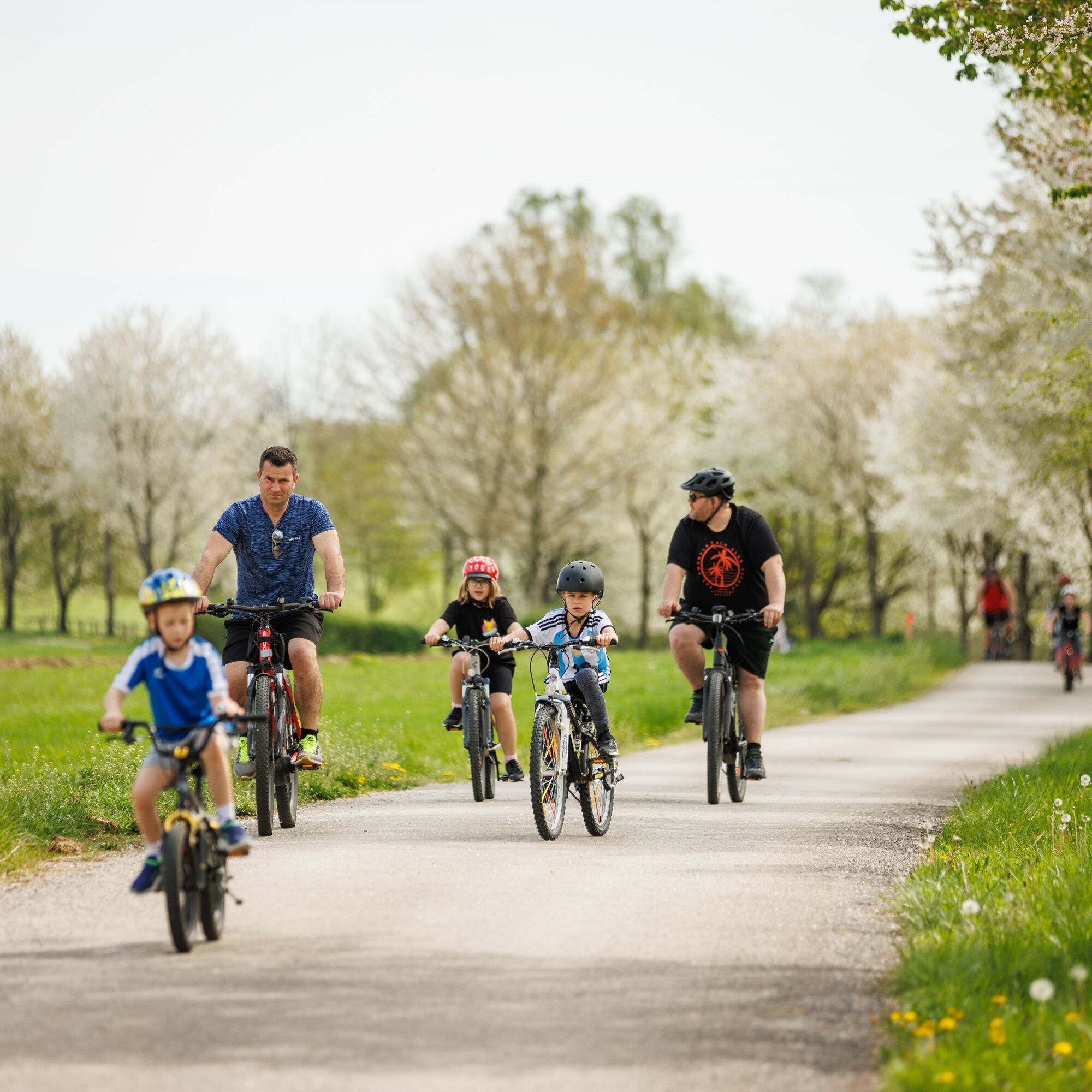
As many cycle paths are farm tracks, agricultural traffic is to be expected. Mutual consideration ensures that these paths remain pleasant to use for everyone.
In Austria, cycle helmets are compulsory for children up to the age of 12. Safety waistcoats are not compulsory at dusk, in the dark or in poor visibility, but are certainly an advantage. Click here for the Austrian bicycle regulations.
A1, A2, A3, S4, S31, Landesstraßen und Bundesstraßen
Anreise mit der Bahn:
Bahnhof Wulkaprodersdorf, ist auch als Ausgangspunkt der Tour möglich. (Verbindungsweg B13 von Wulkaprodersdorf nach Stöttera)
Bahnhof Mattersburg, Bahnhof Marz/Rohrbach
Fahrplanauskunft: www.oebb.at
bei dem jeweiligen Einstiegsort
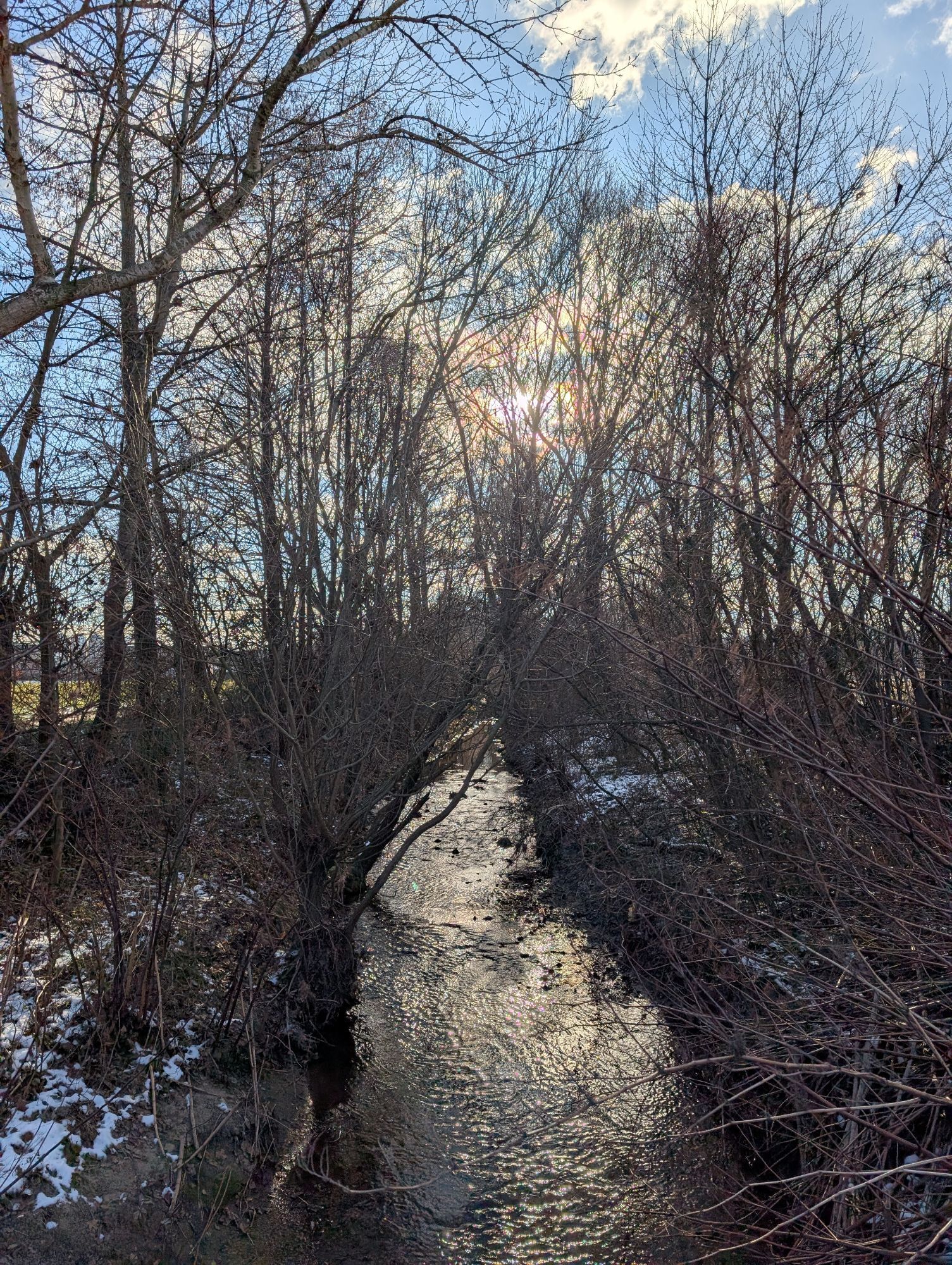
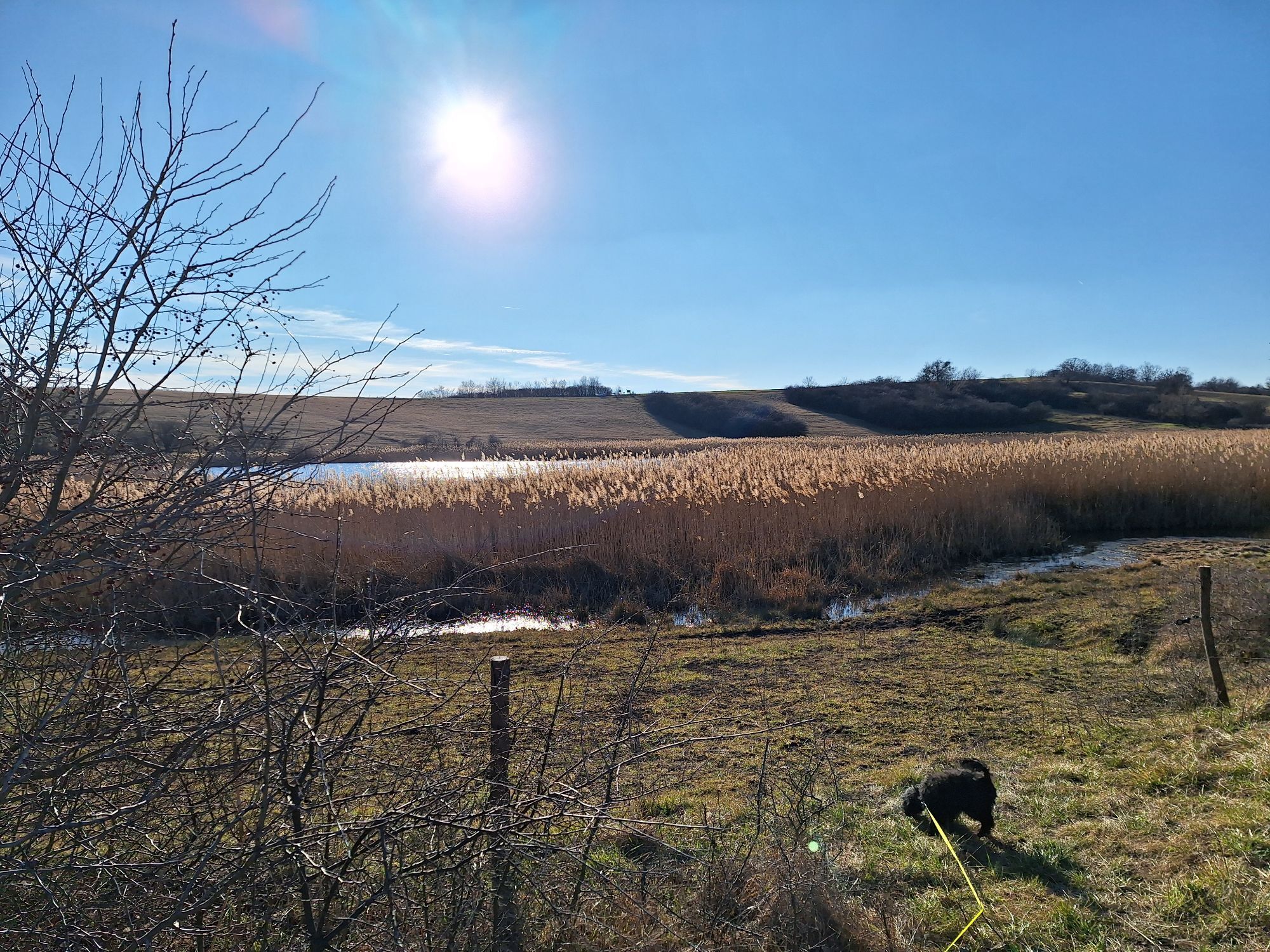
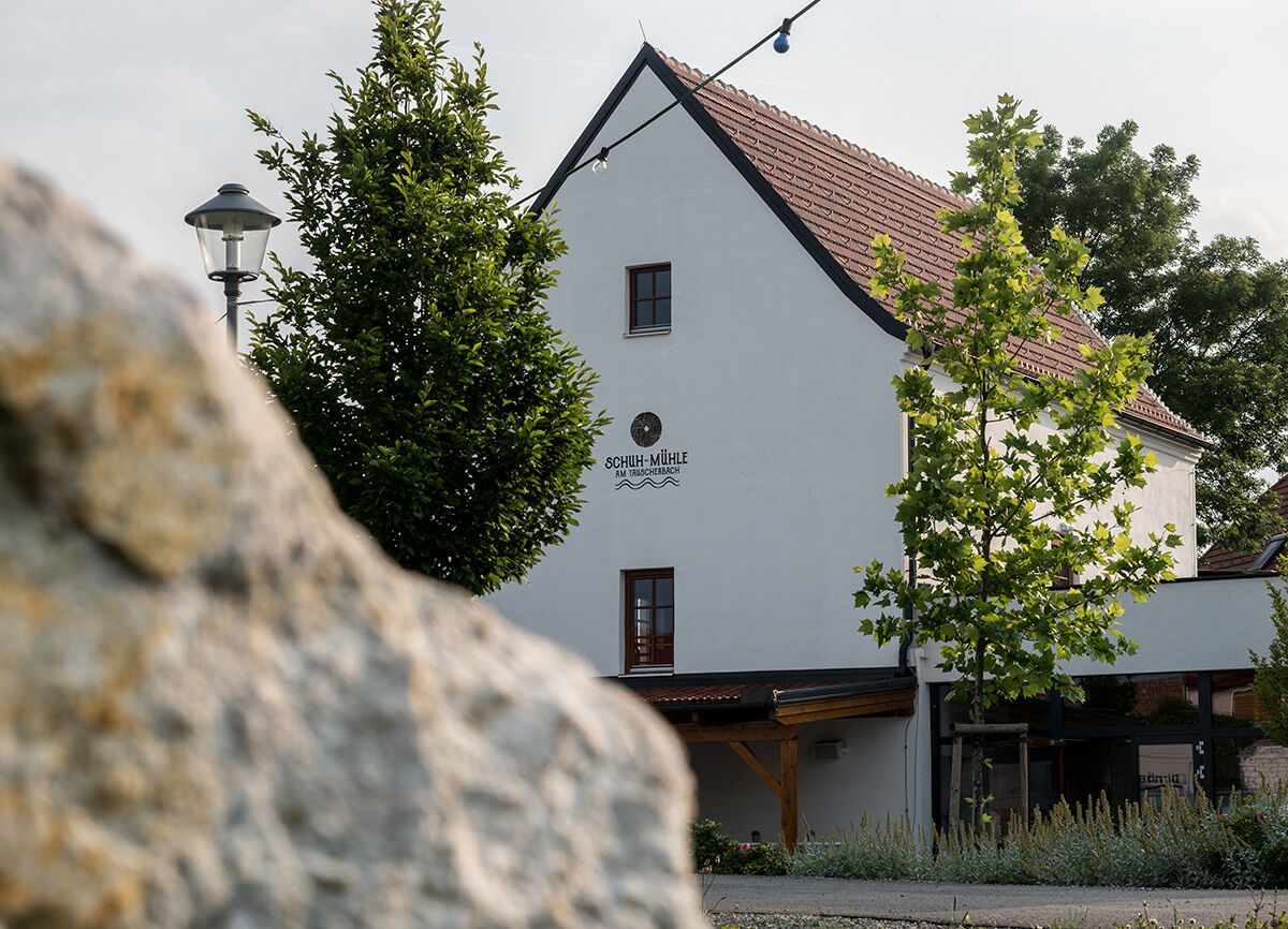
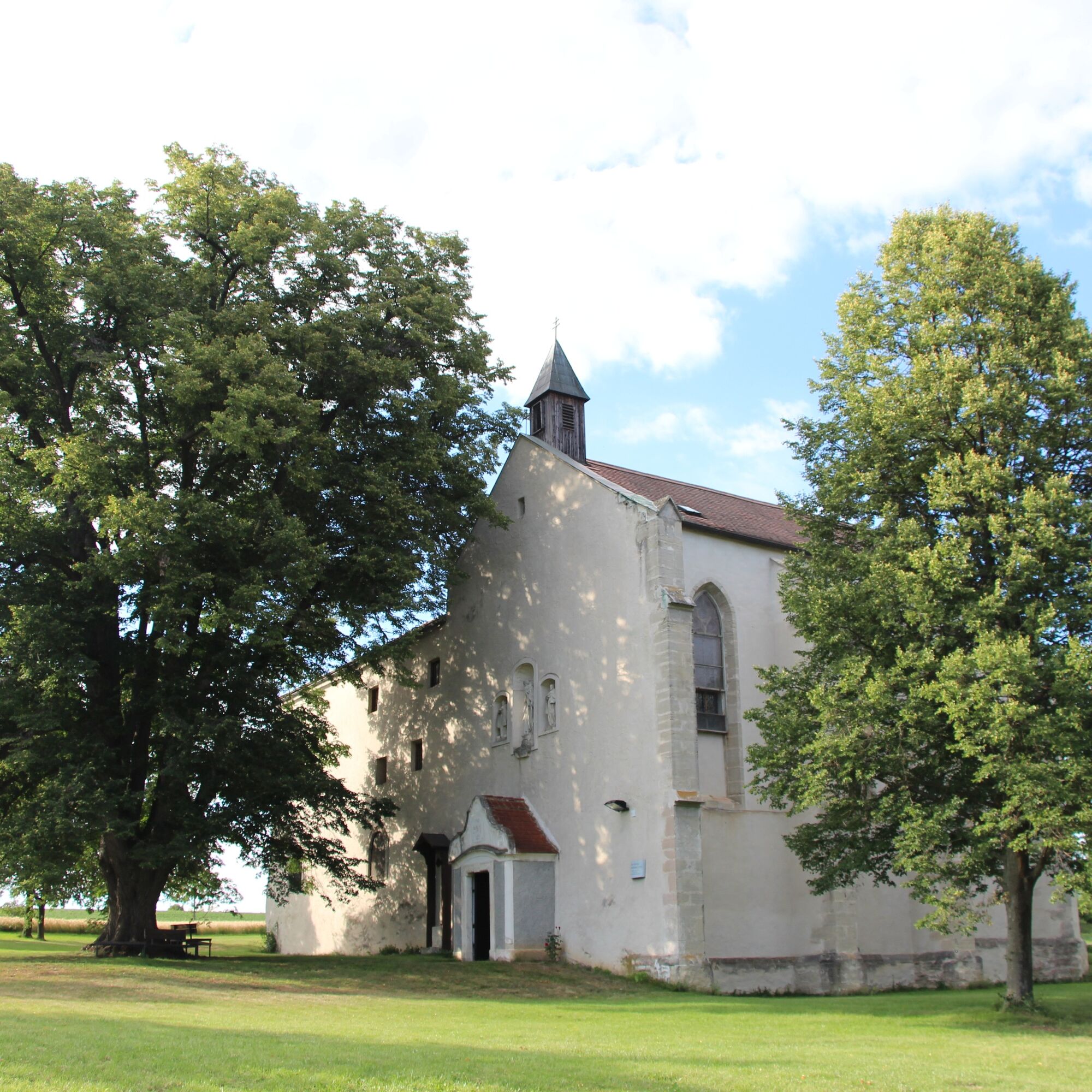
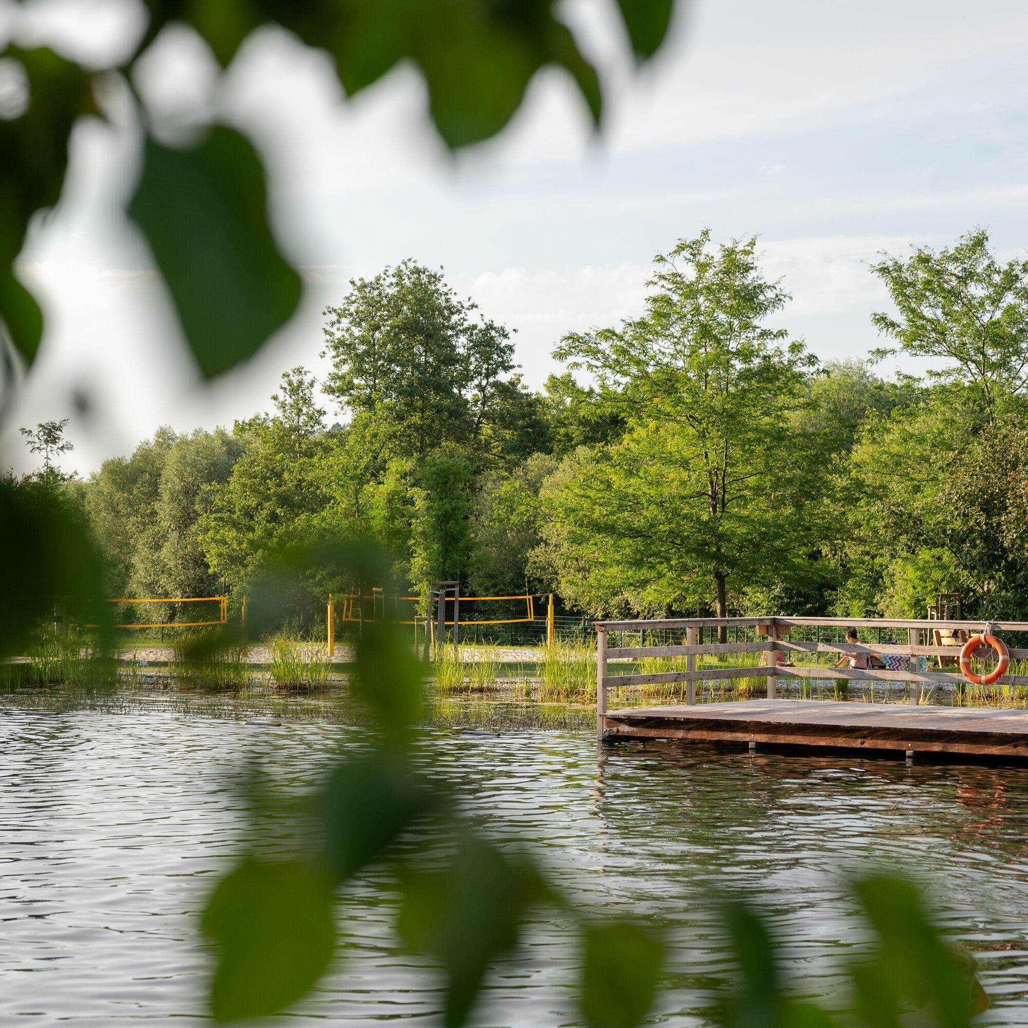
Sights along the route include the Rosalia–Kogelberg Nature Park, the Rohrbach Pond Meadows, the Rohrbach swimming pond, the Pauliner Monastery in Baumgarten, the historic Shoe Mill and Warmbad in Schattendorf, the outdoor pool in Loipersbach, the 70s House in Mattersburg, as well as the Jewish Cemetery and Memorial Site in Mattersburg.
Parcours populaires à proximité
-
4,5
B32 Rosalia-Radwanderweg
moyenFaire du vélo 58,8 km -
4,5
Vers la tour d'observation Wiesen/Lanzenkirchen depuis la Rosalia
facileRandonnée 4,25 km -
4,6
Gespitzter Riegel - Bad Sauerbrunn
facileRandonnée 8,85 km -
4,4
Parcours Festival | Variante Mörbisch - St. Margarethen - Rust - Mörbisch
facileFaire du vélo 21,0 km -
4,6
Forchtenstein-Rosalienkapelle
facileRandonnée 7,86 km -
4,0
Rosalia: Lanzenkirchen - Aussichtsturm
facileRandonnée 11,1 km -
4,6
M32 sur le Gespitzten Riegel de Bad Sauerbrunn
moyenRandonnée 8,73 km -
4,2
MTB Buma Bia - parcours
VTT 25,5 km -
4,2
Plaisir pittoresque à Rust
Faire du vélo 42,6 km -
4,3
Randonnée "Sur les traces de Salah he", Forchtenstein
moyenRandonnée 9,11 km
Randonnée et suivi


Ne manquez pas les offres et l'inspiration pour vos prochaines vacances
Votre adresse électronique a été ajouté à la liste de diffusion.