







St. Georgen 1
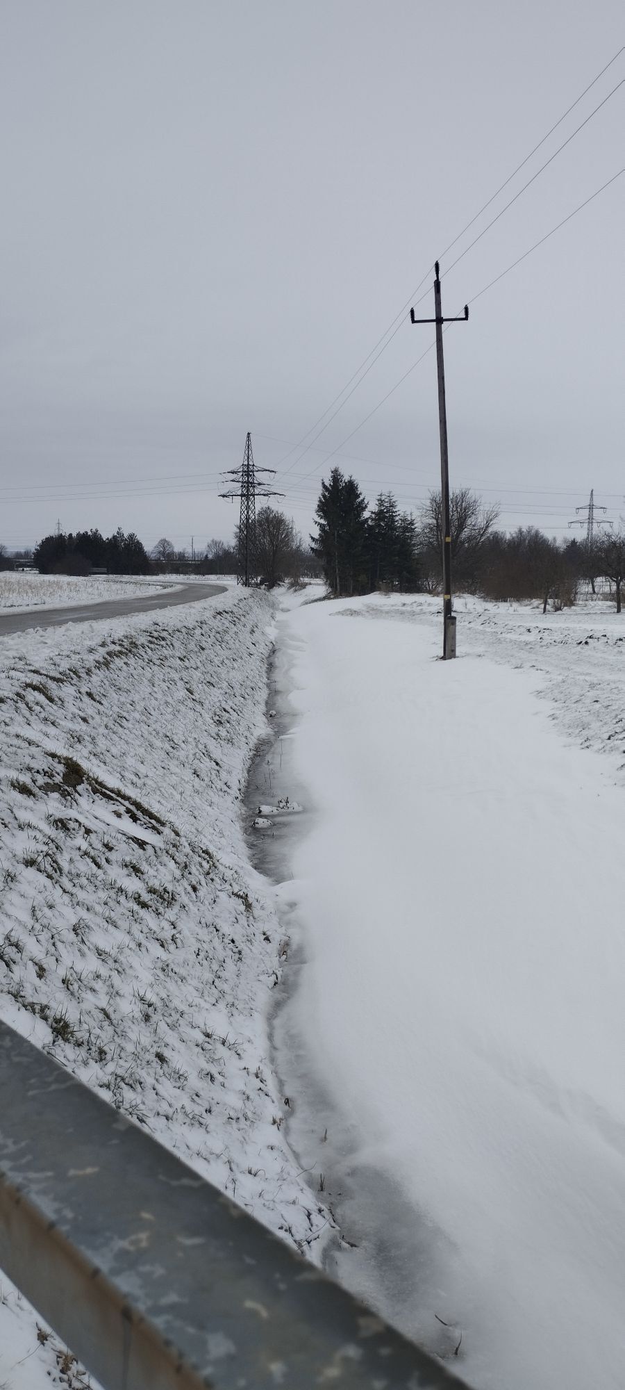
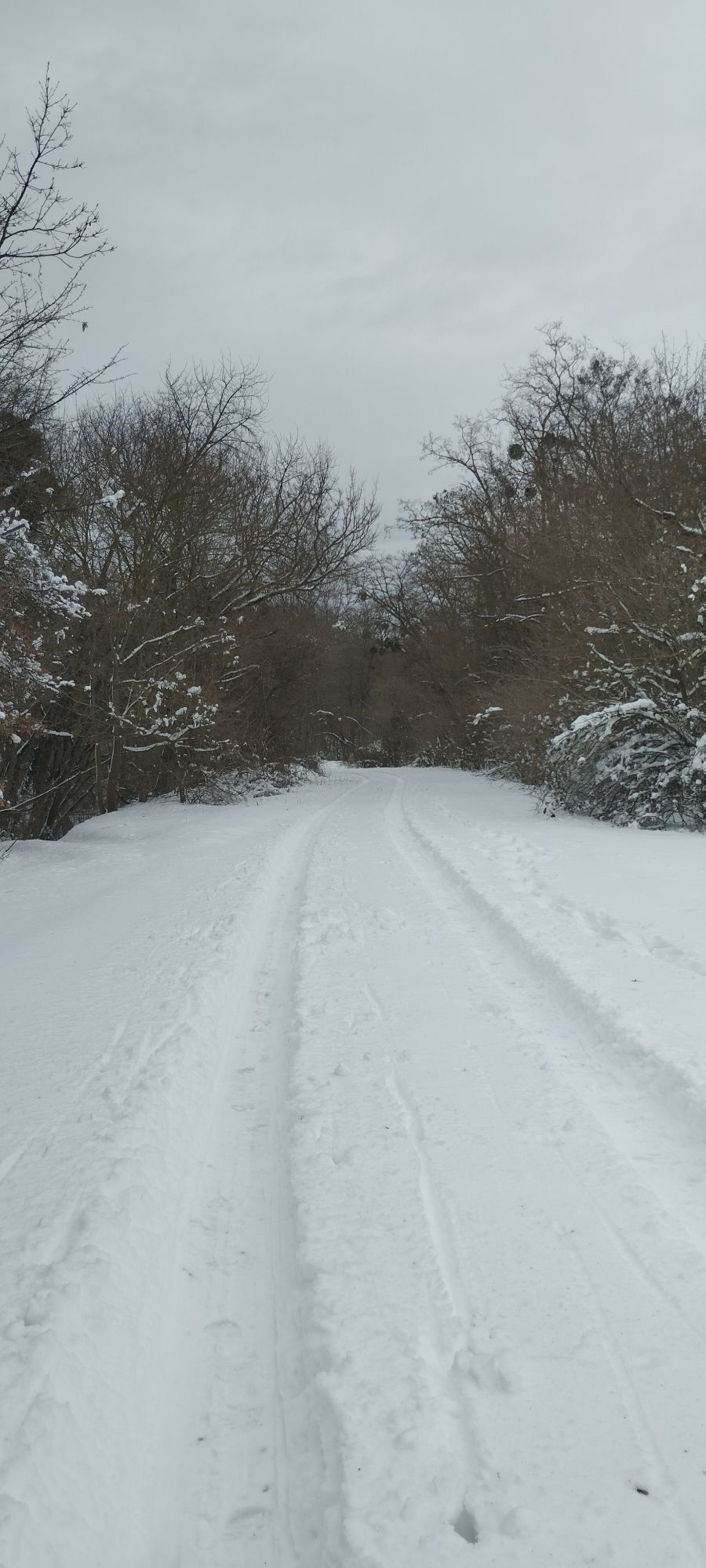
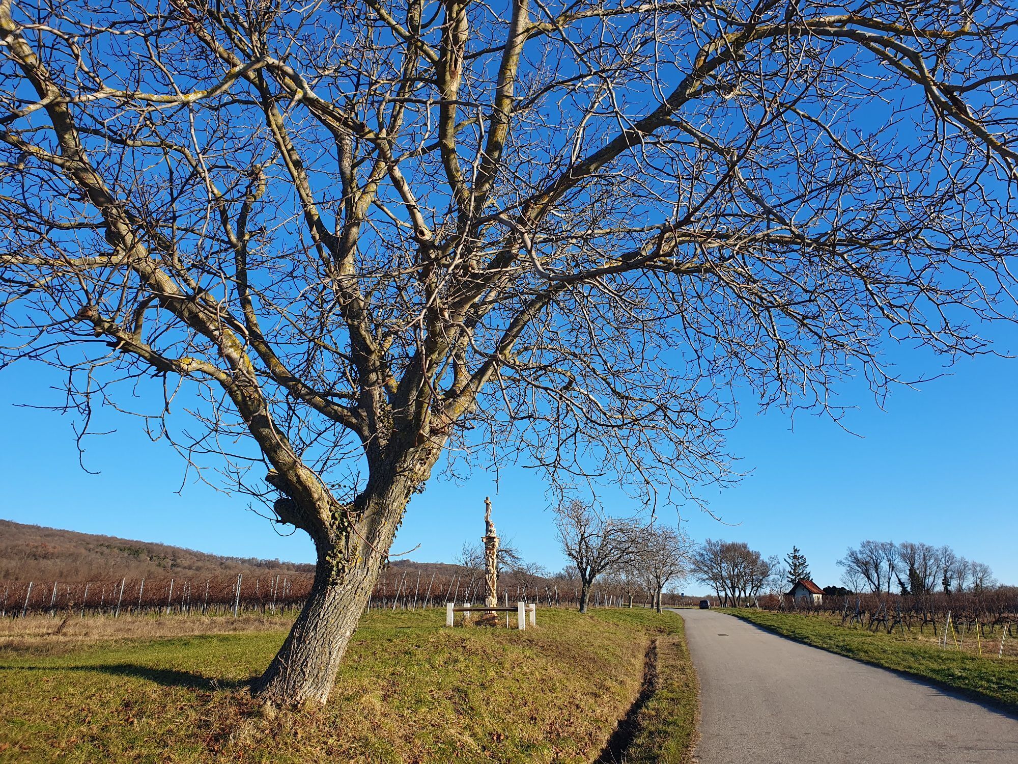
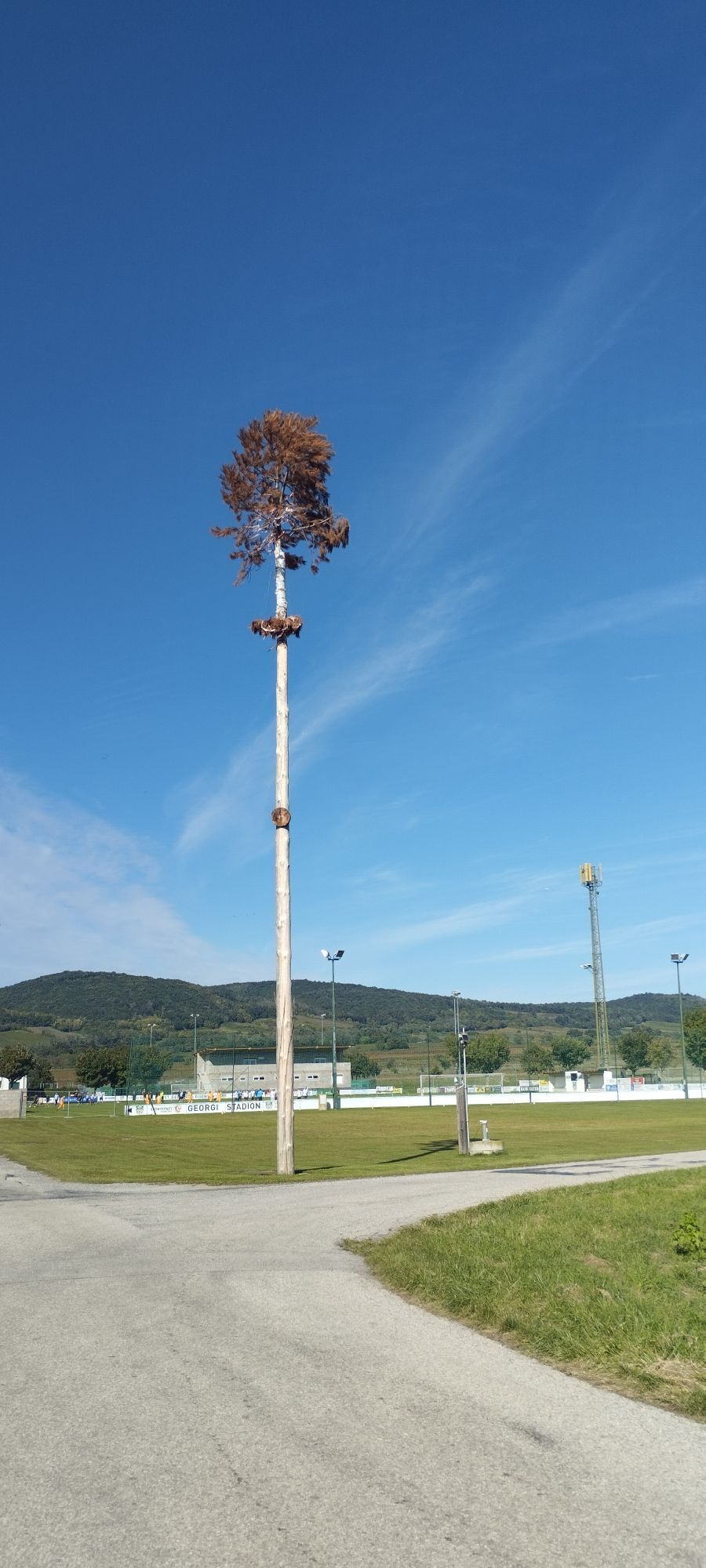
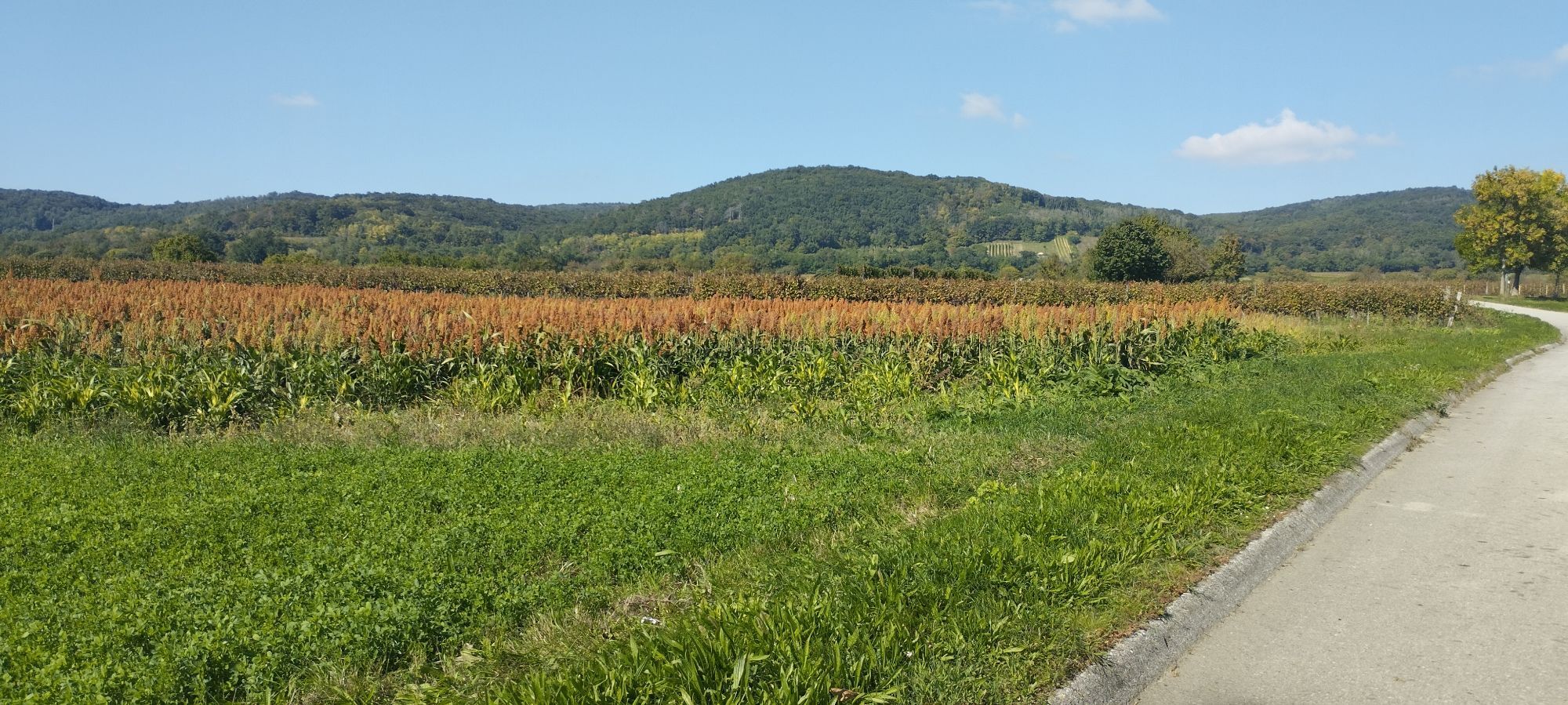

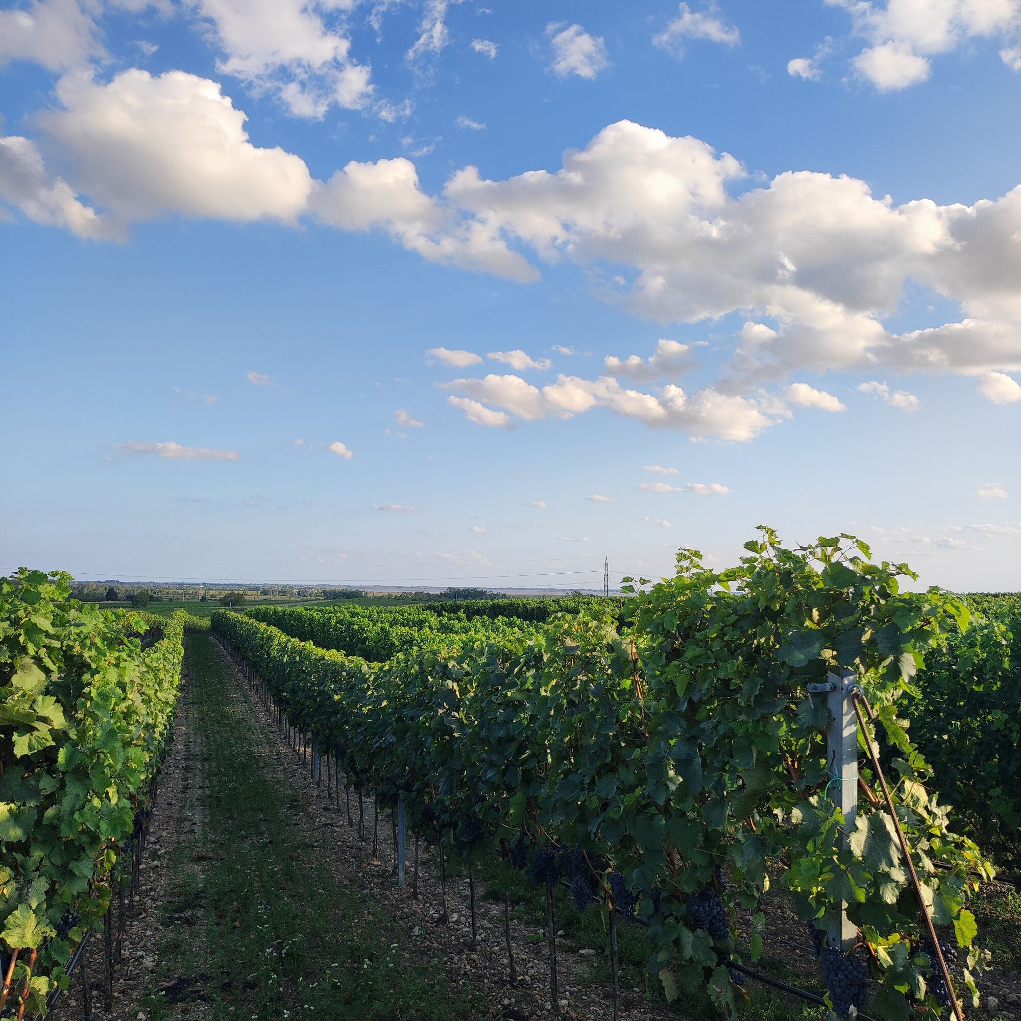

meist asphaltiert, teilweise auch Schotterweg
Details on travelling can be found here: Calculate route
Travelling by train:
Lake Neusiedl is easy and convenient to reach by train. Regardless of whether you are travelling from Switzerland, Germany, the west or south of Austria: You can change trains at Vienna Central Station with ease. ÖBB regional trains take you to Neusiedl am See station in just under 40 minutes, where there are also coordinated bus and train connections to Pamhagen / Fertöszentmiklos or Eisenstadt or Sopron. Bicycles can be taken on most trains: on the Railjet and EC/IC as well as on the Nightjets, a reservation for your bicycle is absolutely necessary. On regional trains, your bicycle can be taken on board without a reservation, subject to availability of the available bicycle spaces.
Timetable information: ÖBB
The Burgenland app also provides you with information about tours, routes and altitude metres while you're out and about.
Are you looking for a pre-made package for your active holiday? You'll find it here: Package deals at Lake Neusiedl
With the Burgenland Card: unlimited holiday fun & offers as far as the eye can see!
All the info you need: Burgenland Card
Obtenez un aperçu Toujours en direct avec plus de 9.500 webcams. En tant qu'utilisateur Pro, vous pouvez désormais voir les webcams correspondantes à de nombreuses randonnées dans l'application de randonnées de bergfex. Vous pouvez ainsi voir directement les conditions actuelles.Parcours populaires à proximité
- 4,7
Piste cyclable des fleurs de cerisier
moyenFaire du vélo 43,2 km - 4,7
Kloster St. Anna & Ruine Scharfeneck zu Mannersdorf
facileRandonnée 5,27 km - 4,1
Piste cyclable du lac de Neusiedl avec traversée du lac
moyenFaire du vélo 75,4 km - 4,6
MANNERSDORF, St.Anna, Aussichtspkt. Stb.1 Ruine Scharfeneck, F.J.Warte, Aussichtspkt. Stb.2 20230329
moyenRandonnée 16,5 km - 4,2
Parcours VTT Bäckersteig
difficileVTT 25,5 km - 4,4
Parcours Festival | Variante Mörbisch - St. Margarethen - Rust - Mörbisch
facileFaire du vélo 21,0 km - 4,4
« Route des contrebandiers » de Donnerskirchen à Mannersdorf
difficileRandonnée 18,8 km - 4,4
About / around the Burgstall
moyenRandonnée 10,1 km - 4,8
parcours Festival
facileFaire du vélo 66,3 km - 4,3
Plaisir pittoresque à Rust
Faire du vélo 42,6 km
Randonnée et suivi


Ne manquez pas les offres et l'inspiration pour vos prochaines vacances
Votre adresse électronique a été ajouté à la liste de diffusion.





