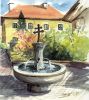
Welcome to ZELL am Pettenfirst!
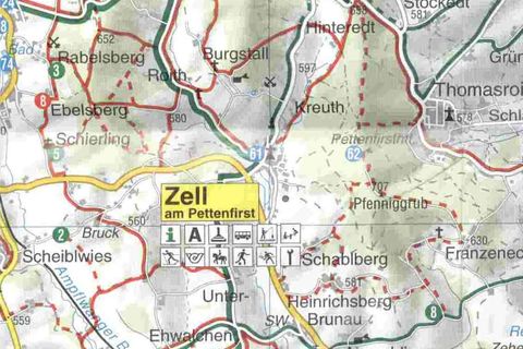
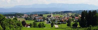
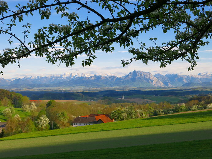
The municipality lies on the southern slope of the Hausruck. The municipal area comprises 23 villages. The boundaries of the municipality are a ridge of the Hausruck with the north-south running Pettenfirst in the north and the Ampflwangerbach in the west. Zell am Pettenfirst lies 550 metres above sea level in the Hausruckwald. The Pettenfirst, Zell's local mountain,...
Welcome to ZELL am Pettenfirst!
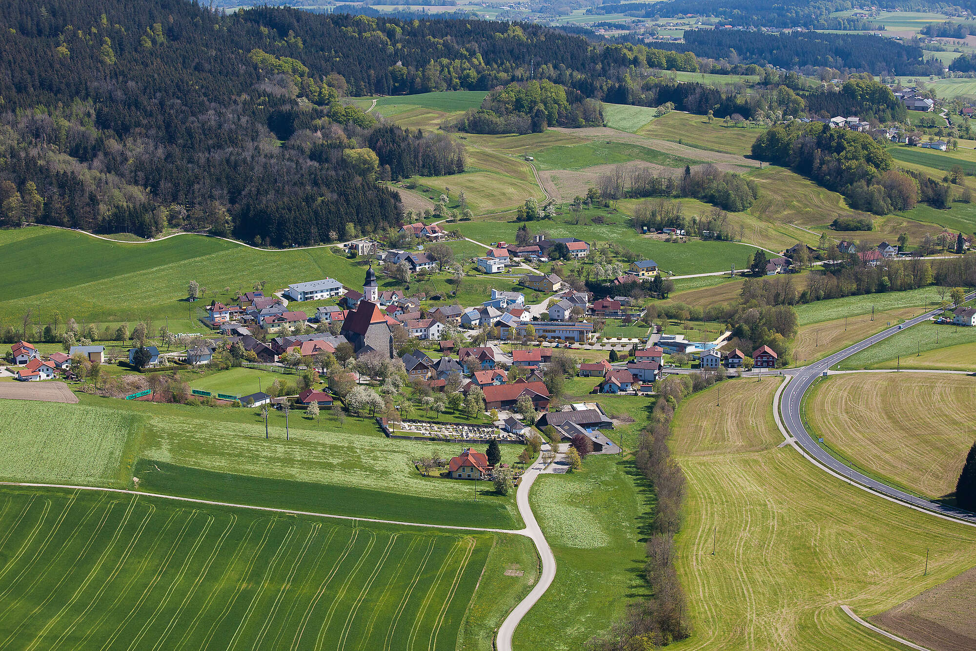
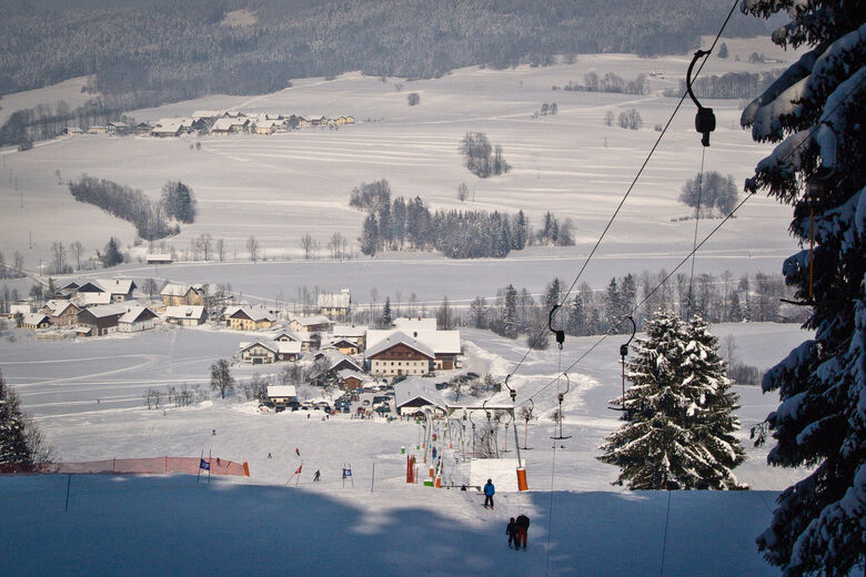
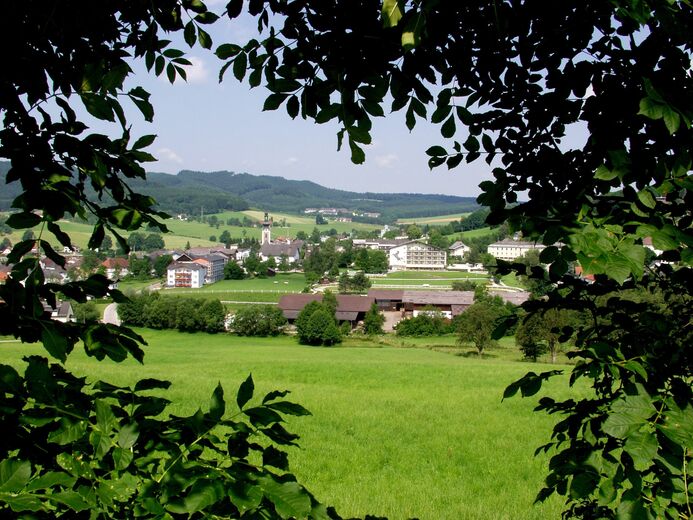
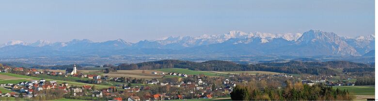
The municipality lies on the southern slope of the Hausruck. The municipal area comprises 23 villages. The boundaries of the municipality are a ridge of the Hausruck with the north-south running Pettenfirst in the north and the Ampflwangerbach in the west. Zell am Pettenfirst lies 550 metres above sea level in the Hausruckwald. The Pettenfirst, Zell's local mountain, lies at 710 metres. 33.8% of the area is forested, 58.1% of the area is used for agriculture.
Planifiez vos vacances
Contact


Randonnée et suivi


Ne manquez pas les offres et l'inspiration pour vos prochaines vacances
Votre adresse électronique a été ajouté à la liste de diffusion.