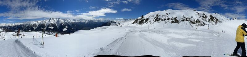
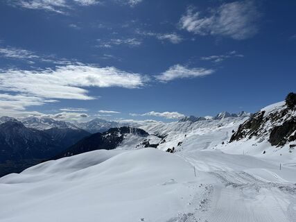
Fiesch - Kirche Betten - Sparrhorn - Furka
difficile
Naviguer
Naviguer
Télécharge cette visite sur ton portable
Fiesch - Kirche Betten - Sparrhorn - Furka
difficile
VTT
77,44
km
Scanner le code QR et commencer la navigation dans l'application bergfex

Randonnée & tracking


Fiesch - Kirche Betten - Sparrhorn - Furka
difficile
Distance
77,44
km
Durée
08:41
h
Ascension
6 603
m
Altitude
765 -
2 645
m
Téléchargement de la piste
Fiesch - Kirche Betten - Sparrhorn - Furka
difficile
VTT
77,44
km
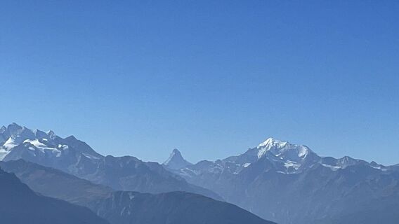
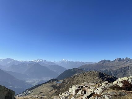
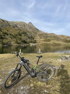
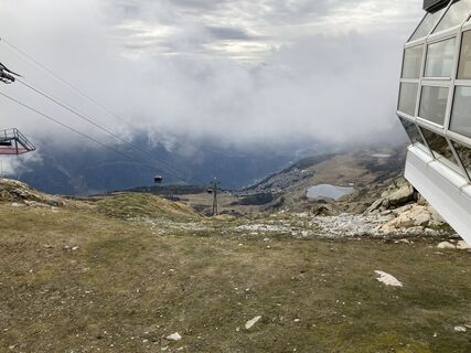
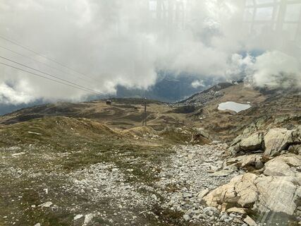
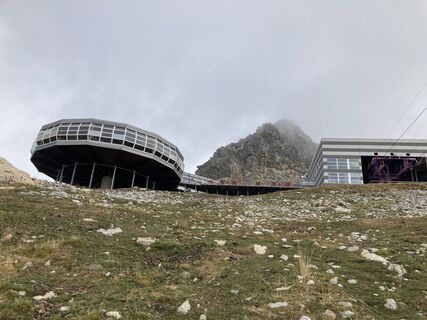
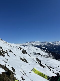
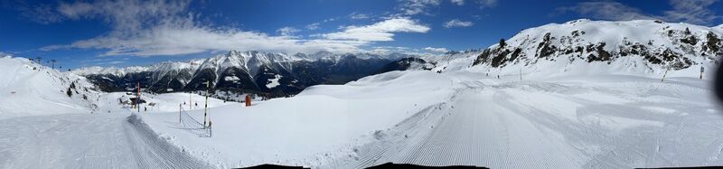
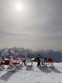
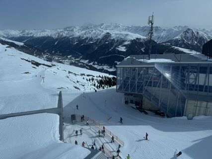
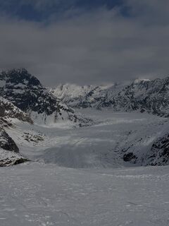
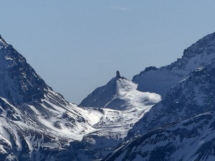
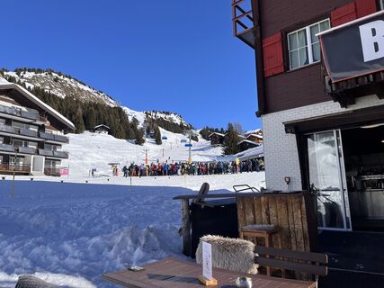
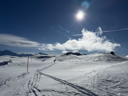
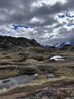
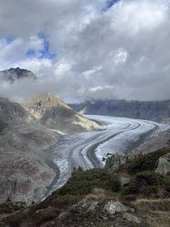
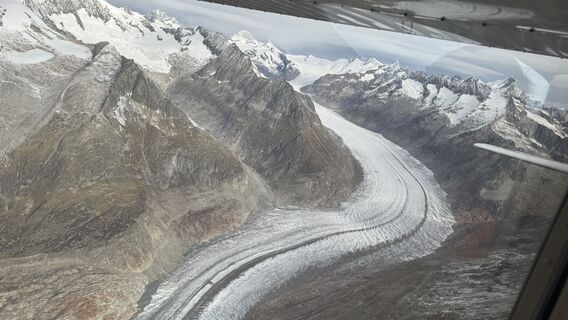
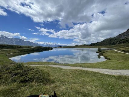
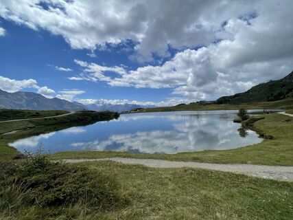
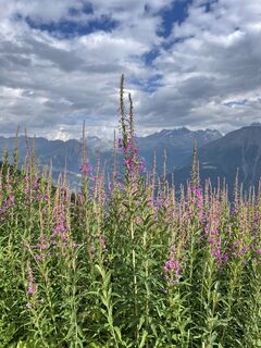
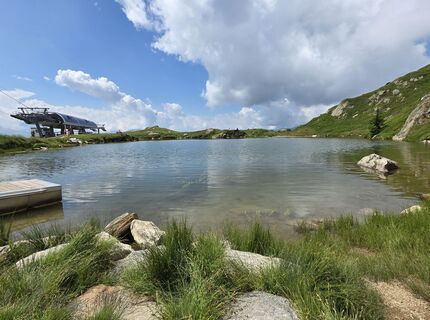
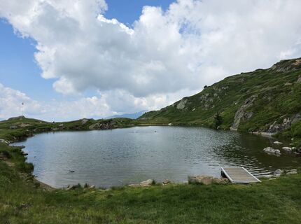
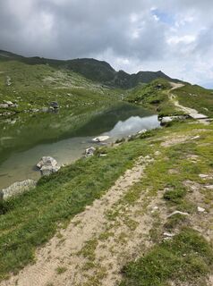
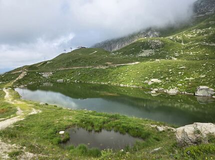
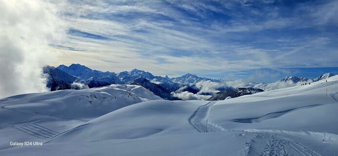
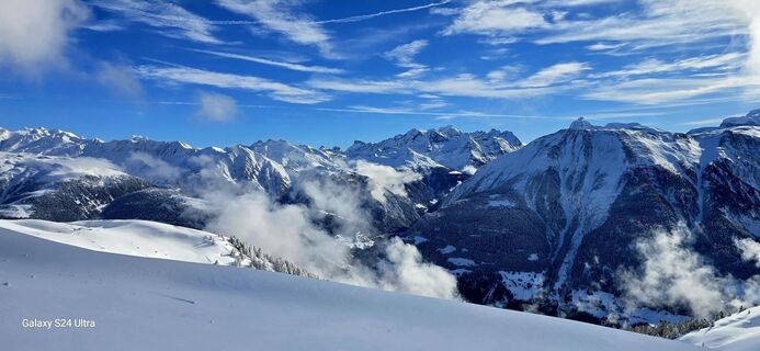
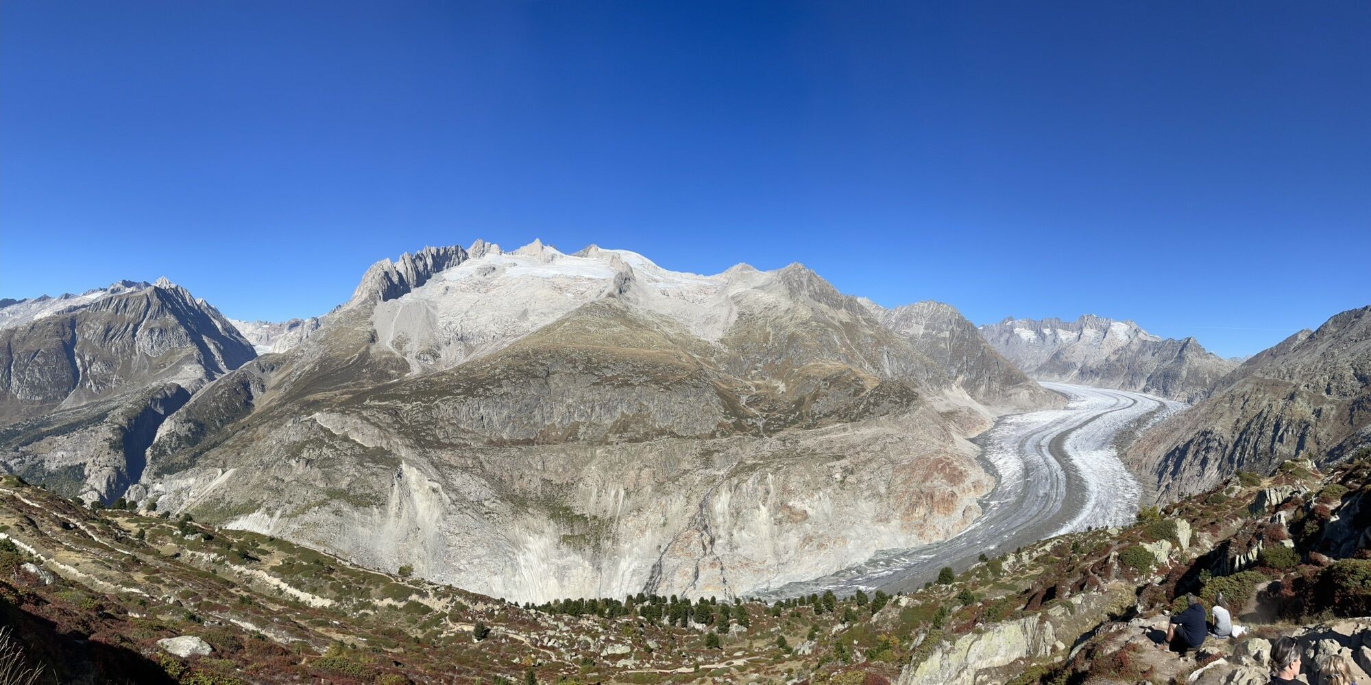
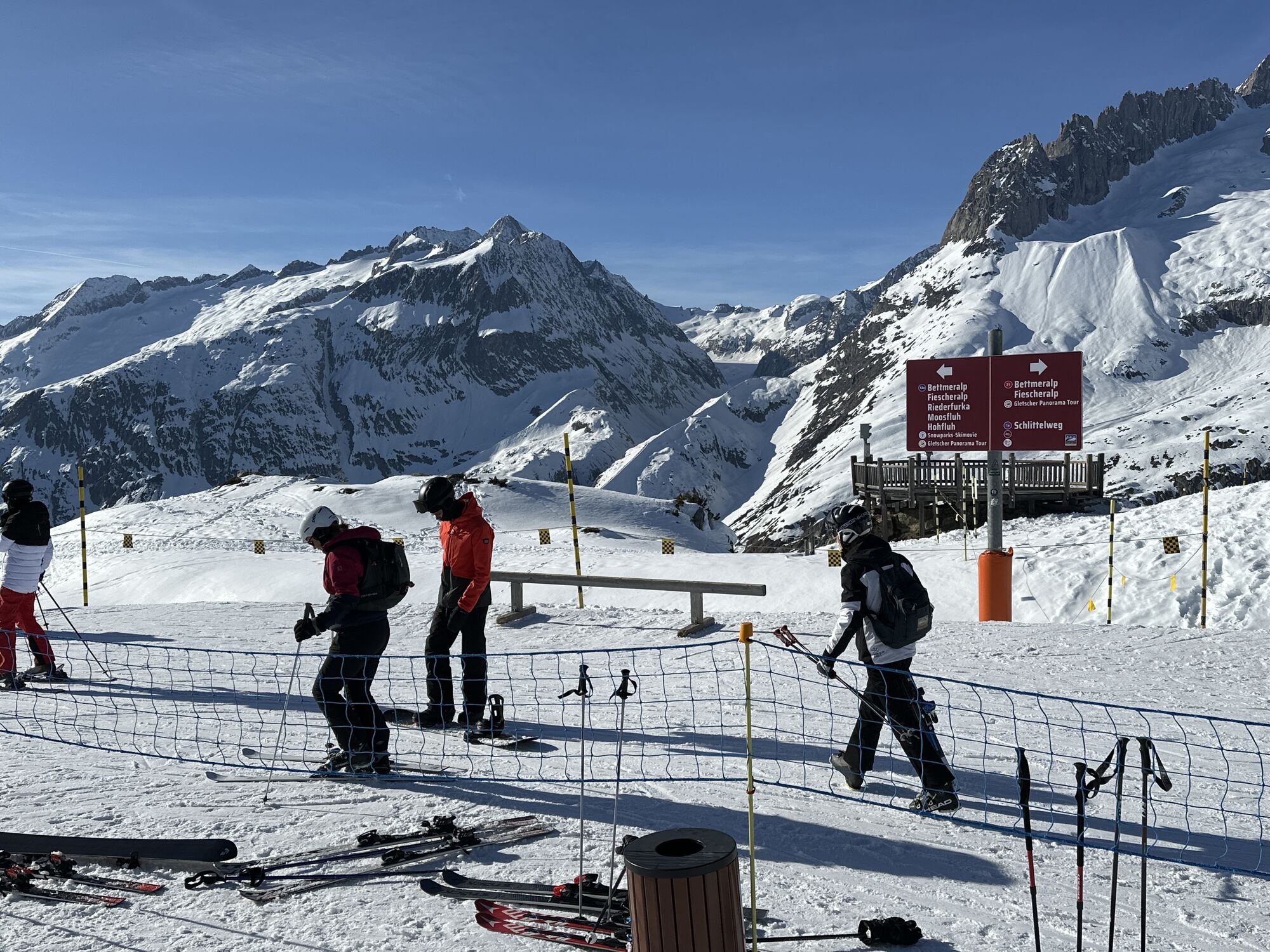
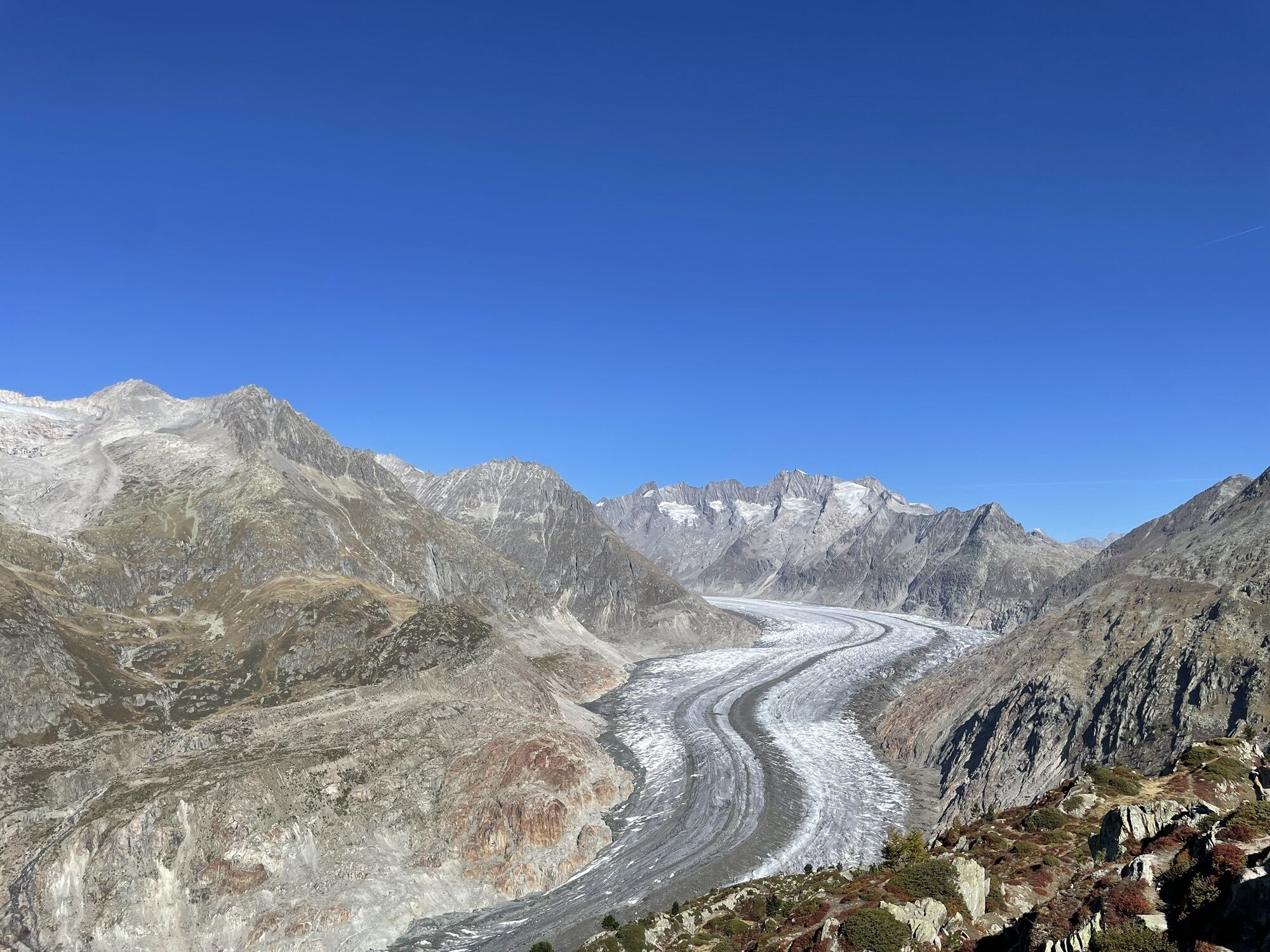
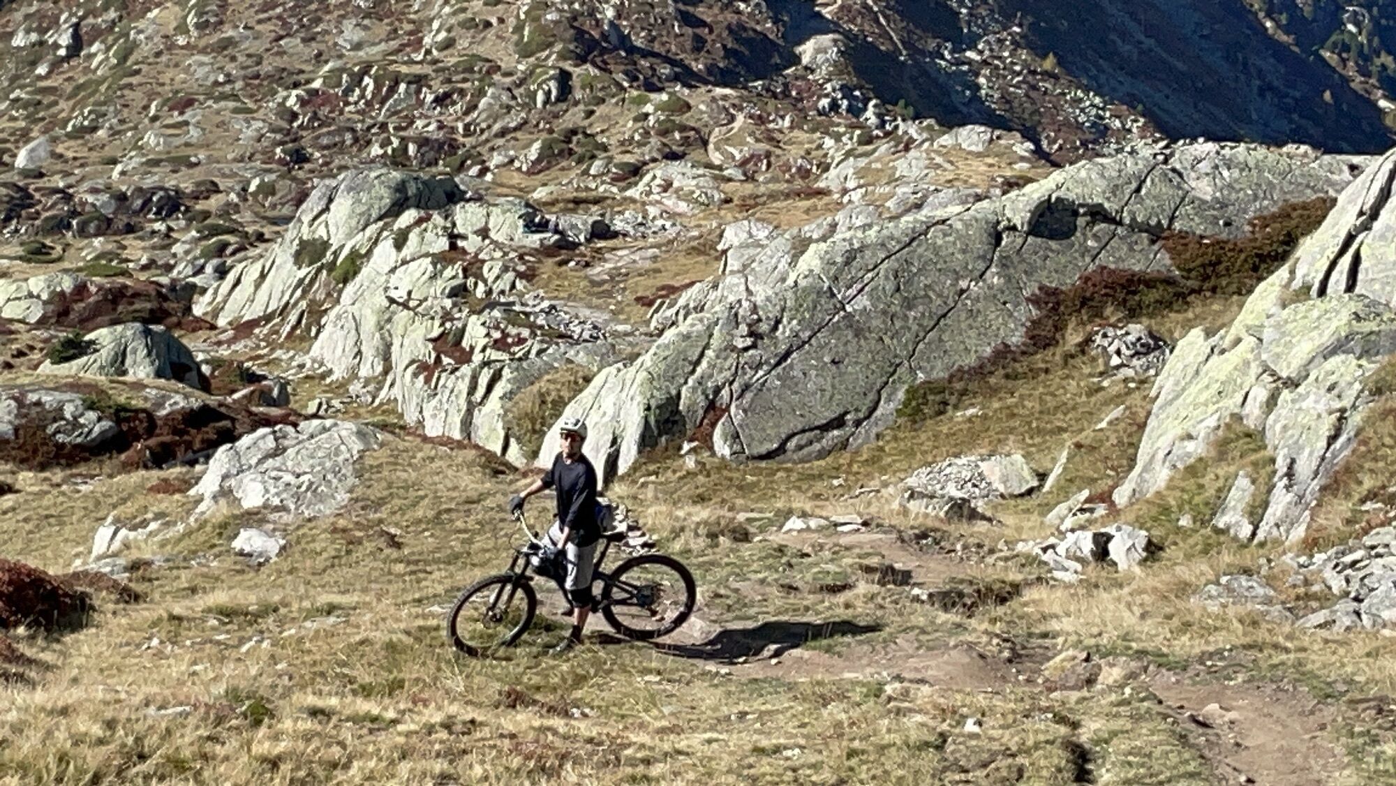
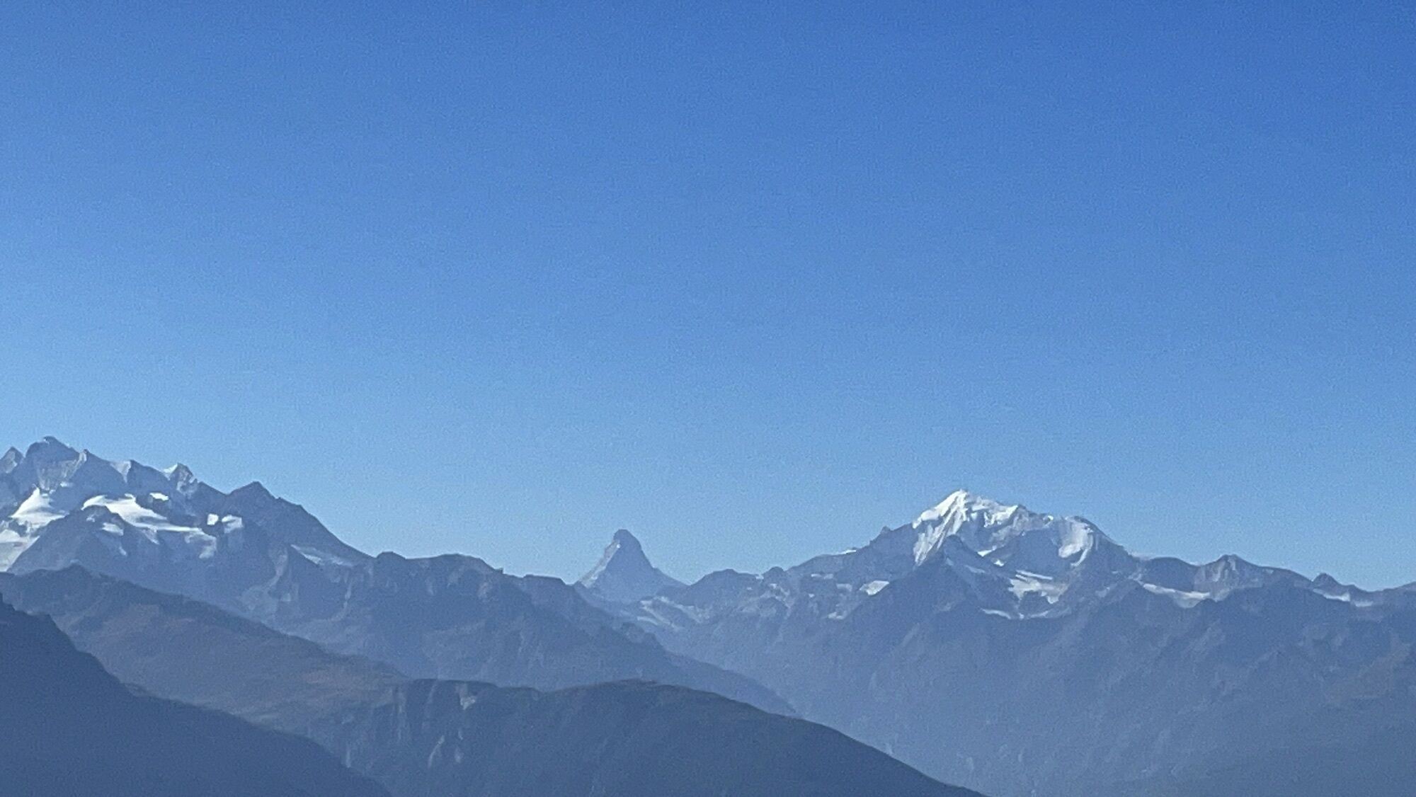
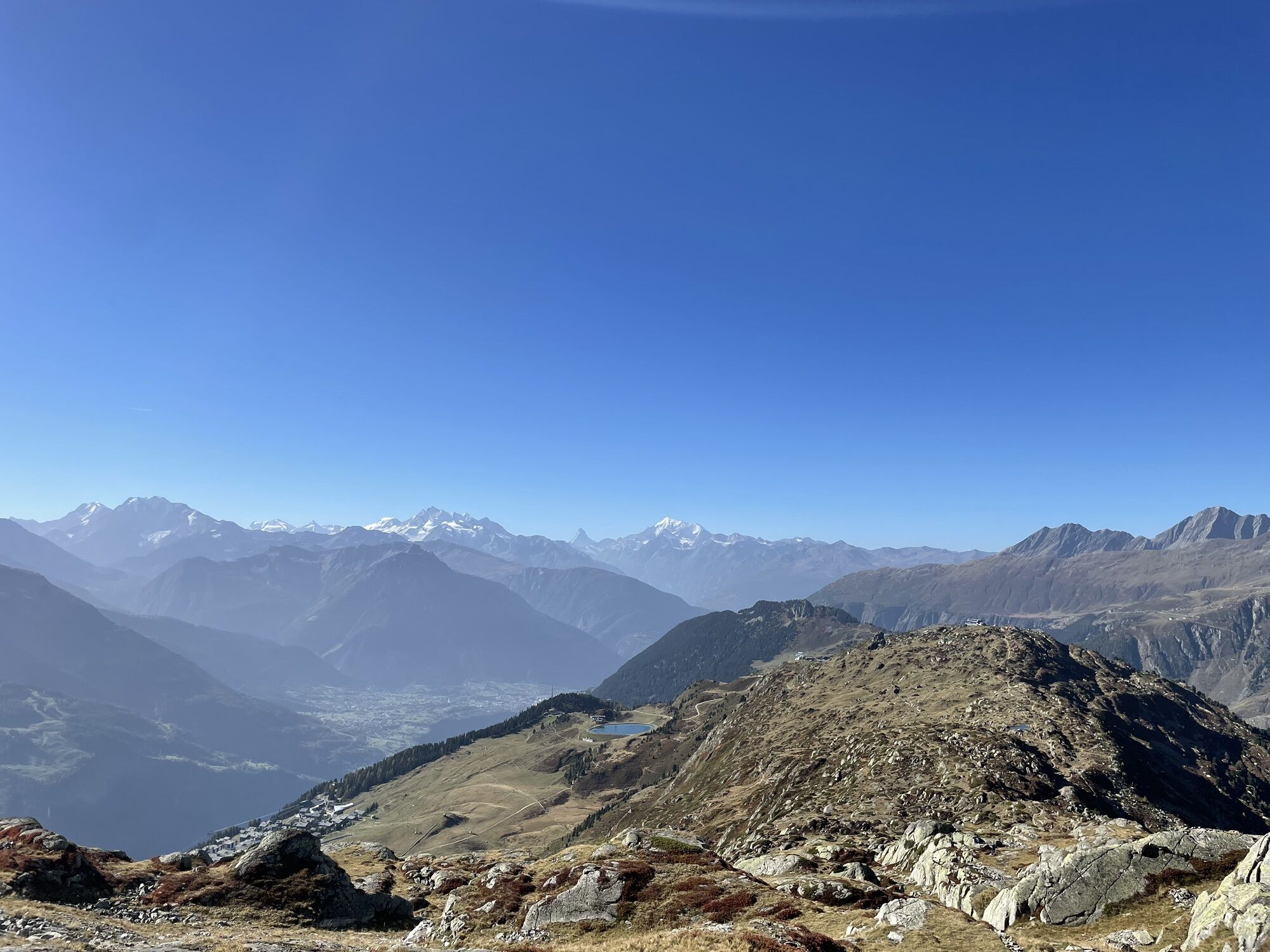
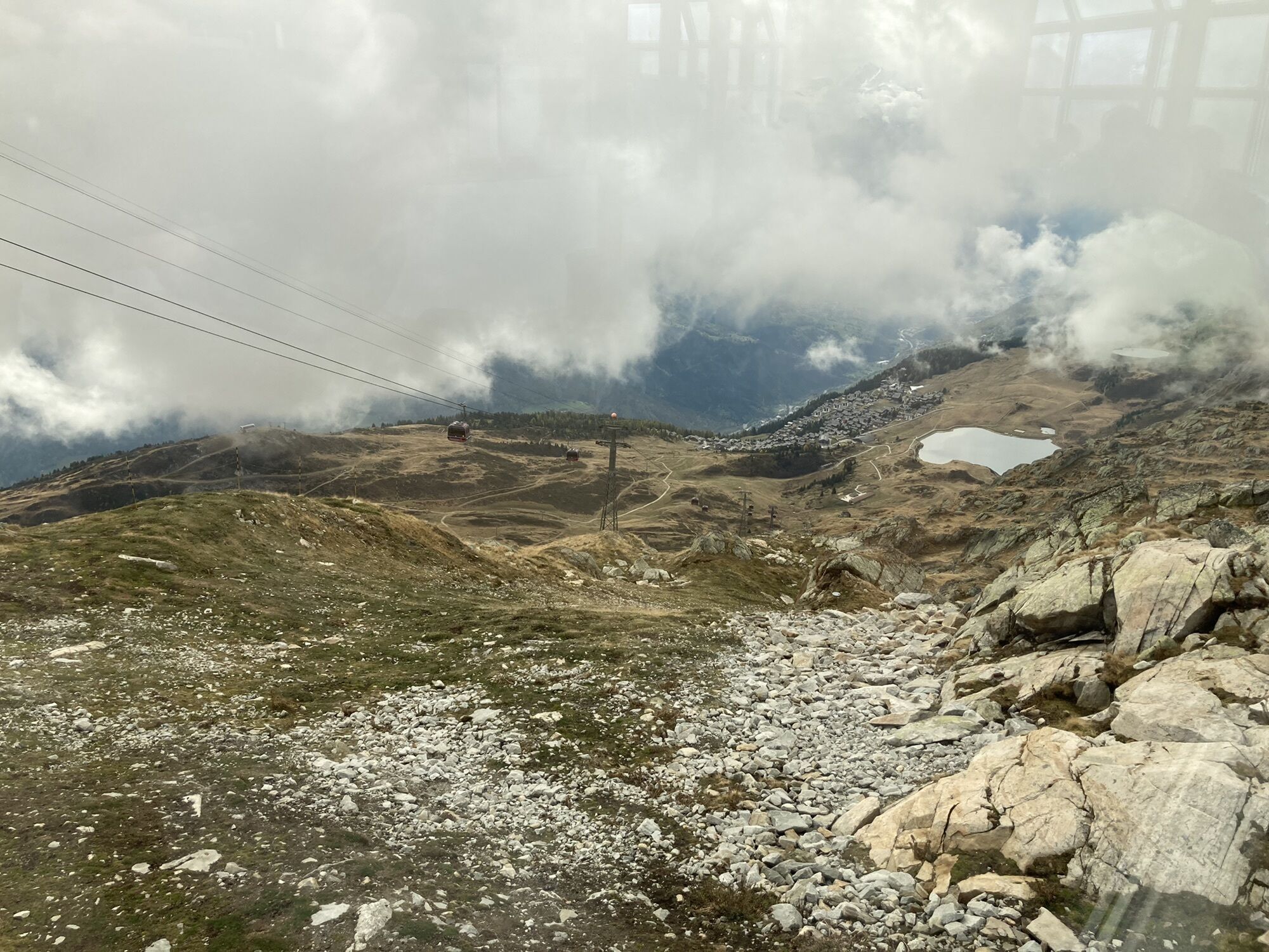
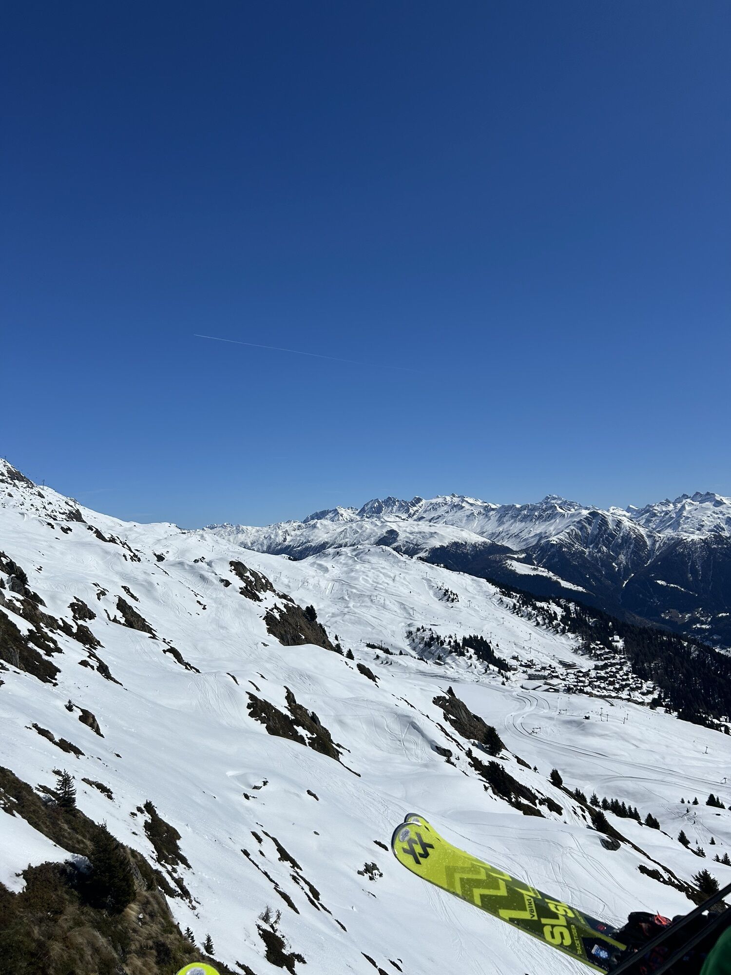
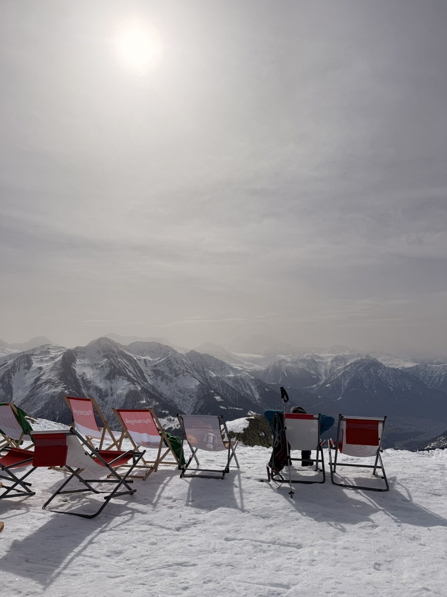
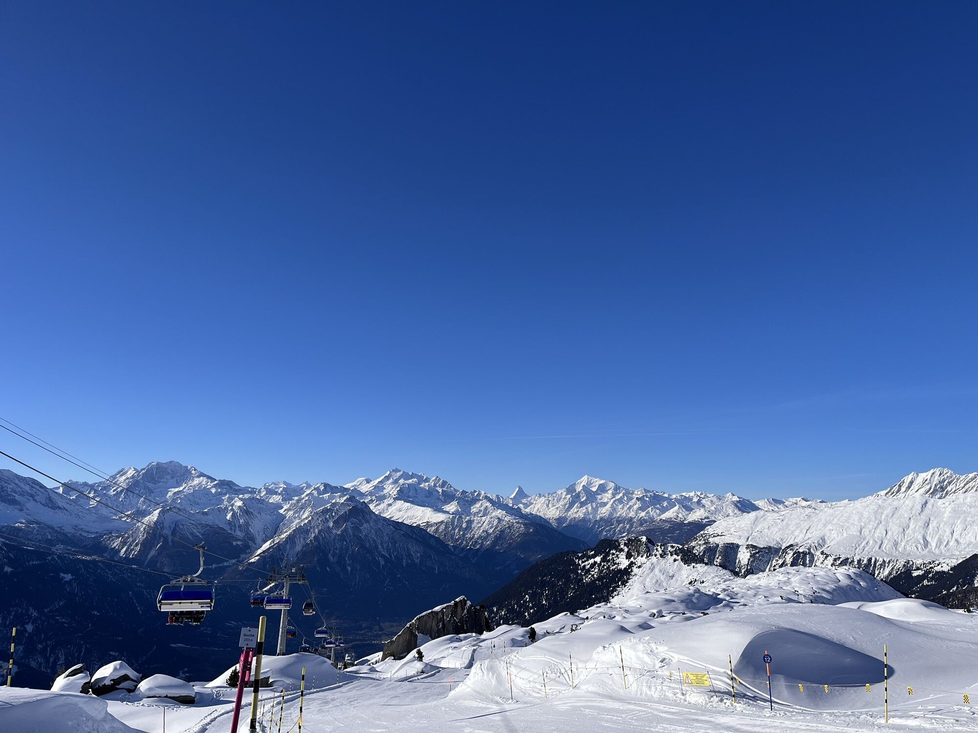
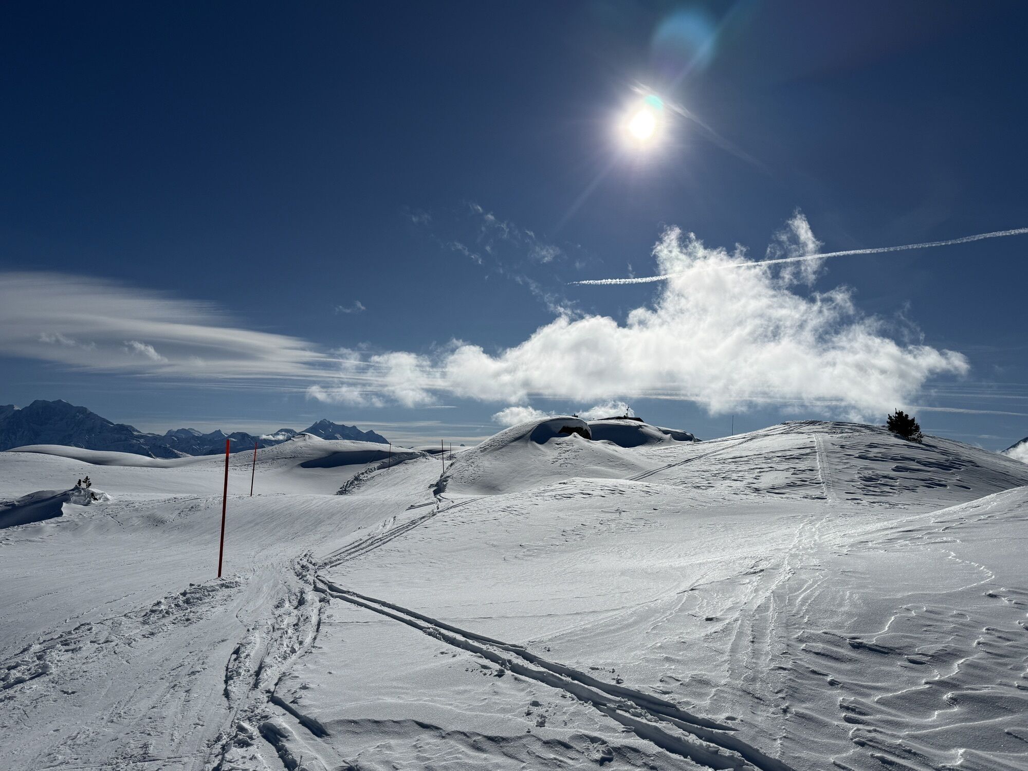
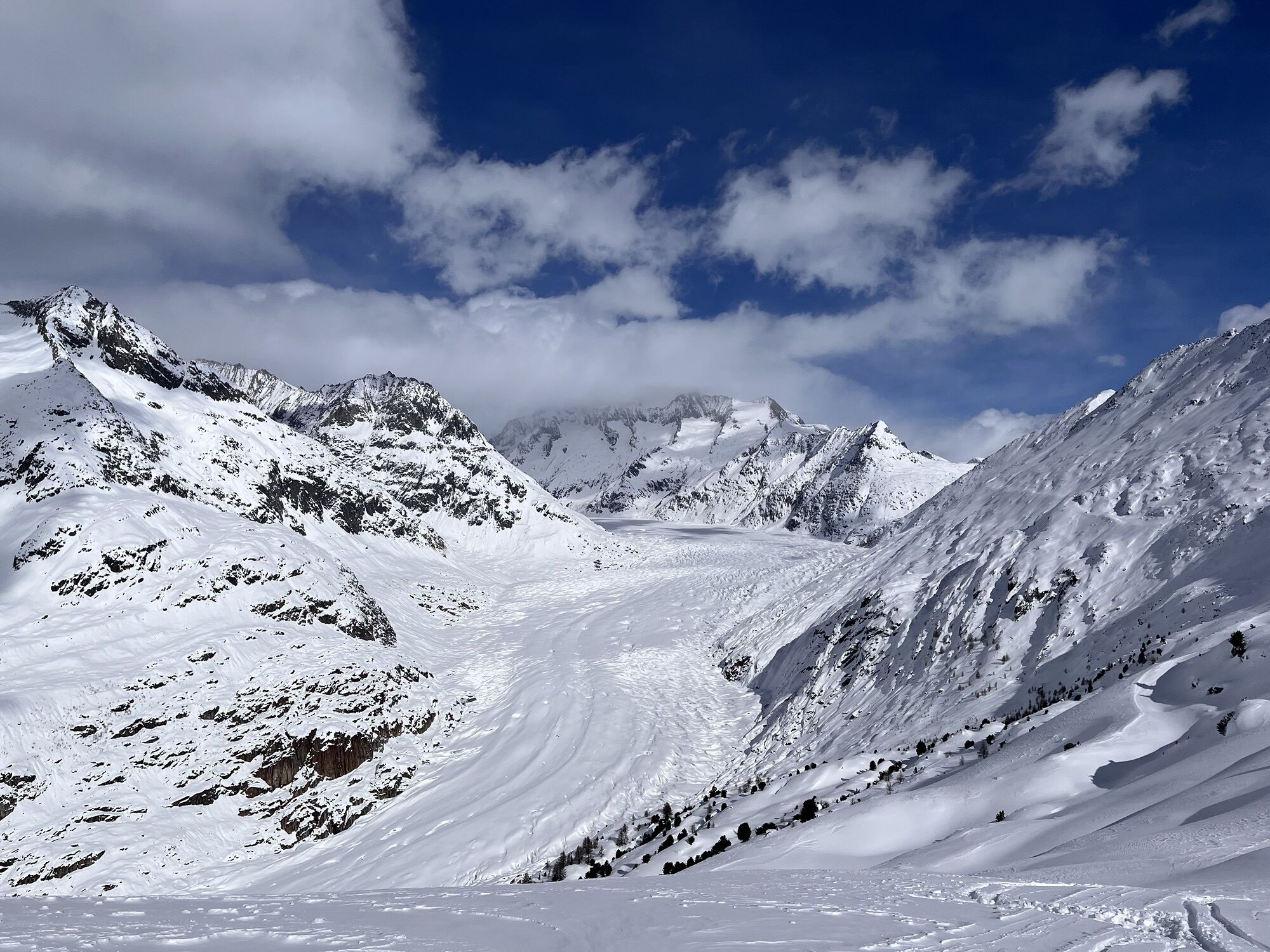
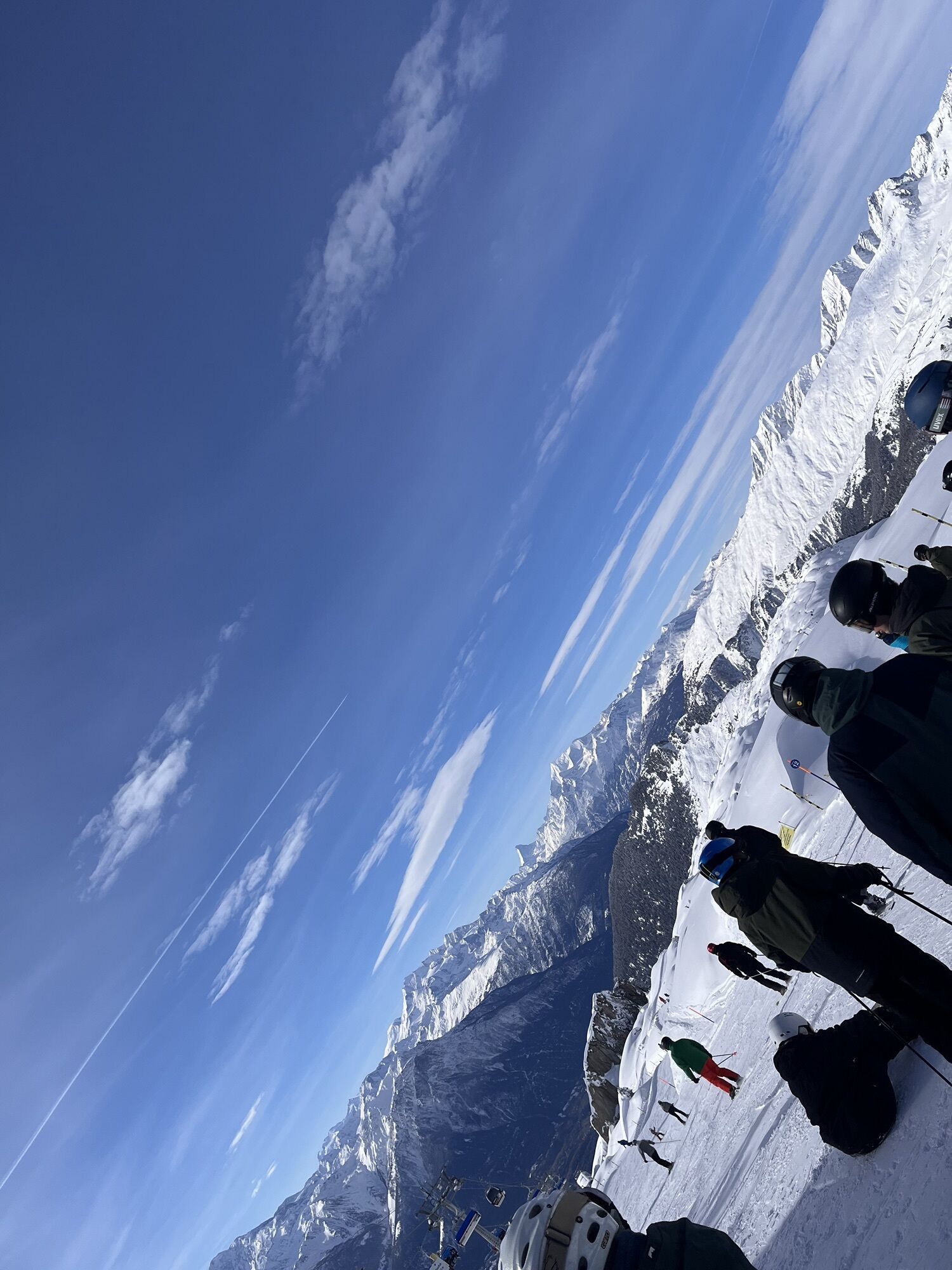
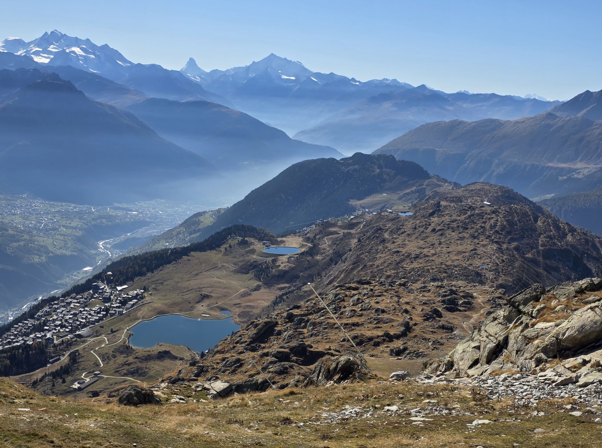
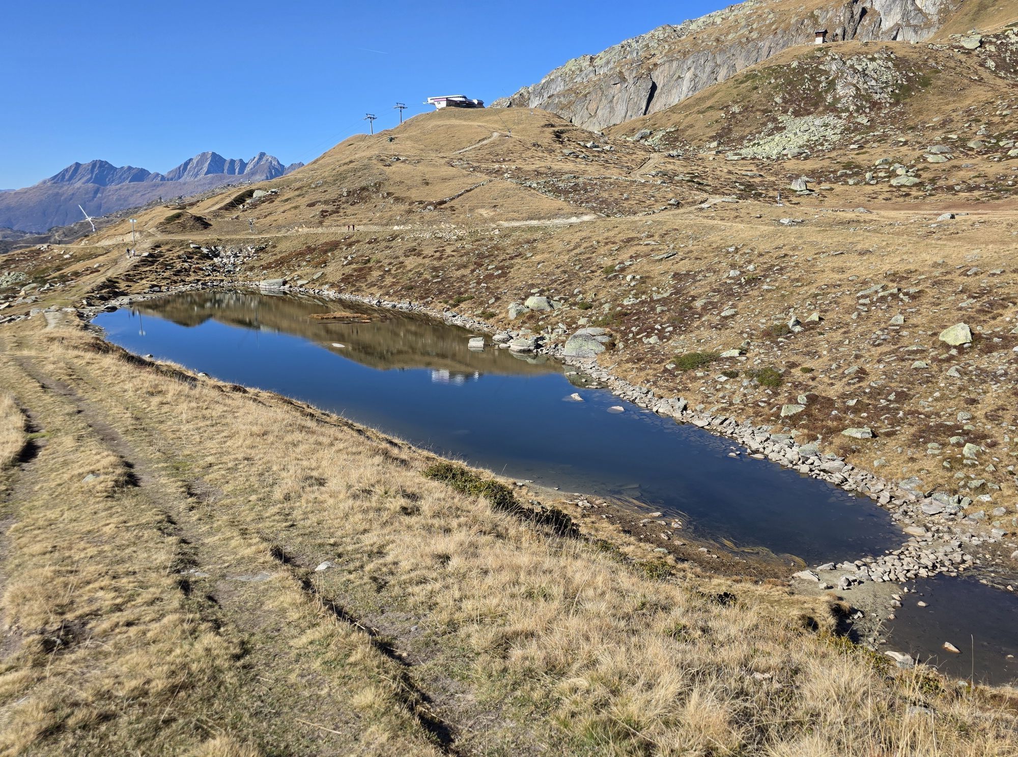
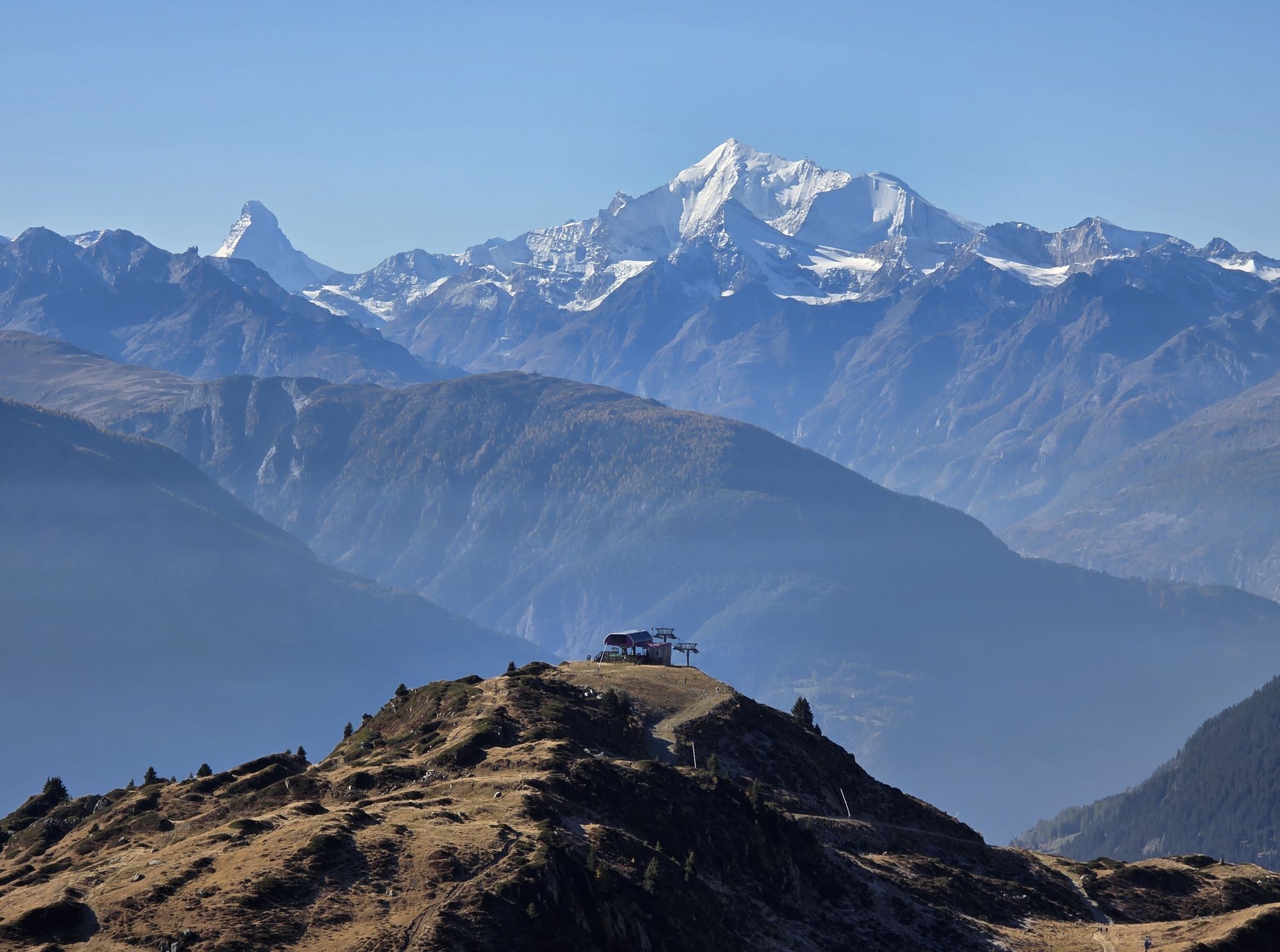
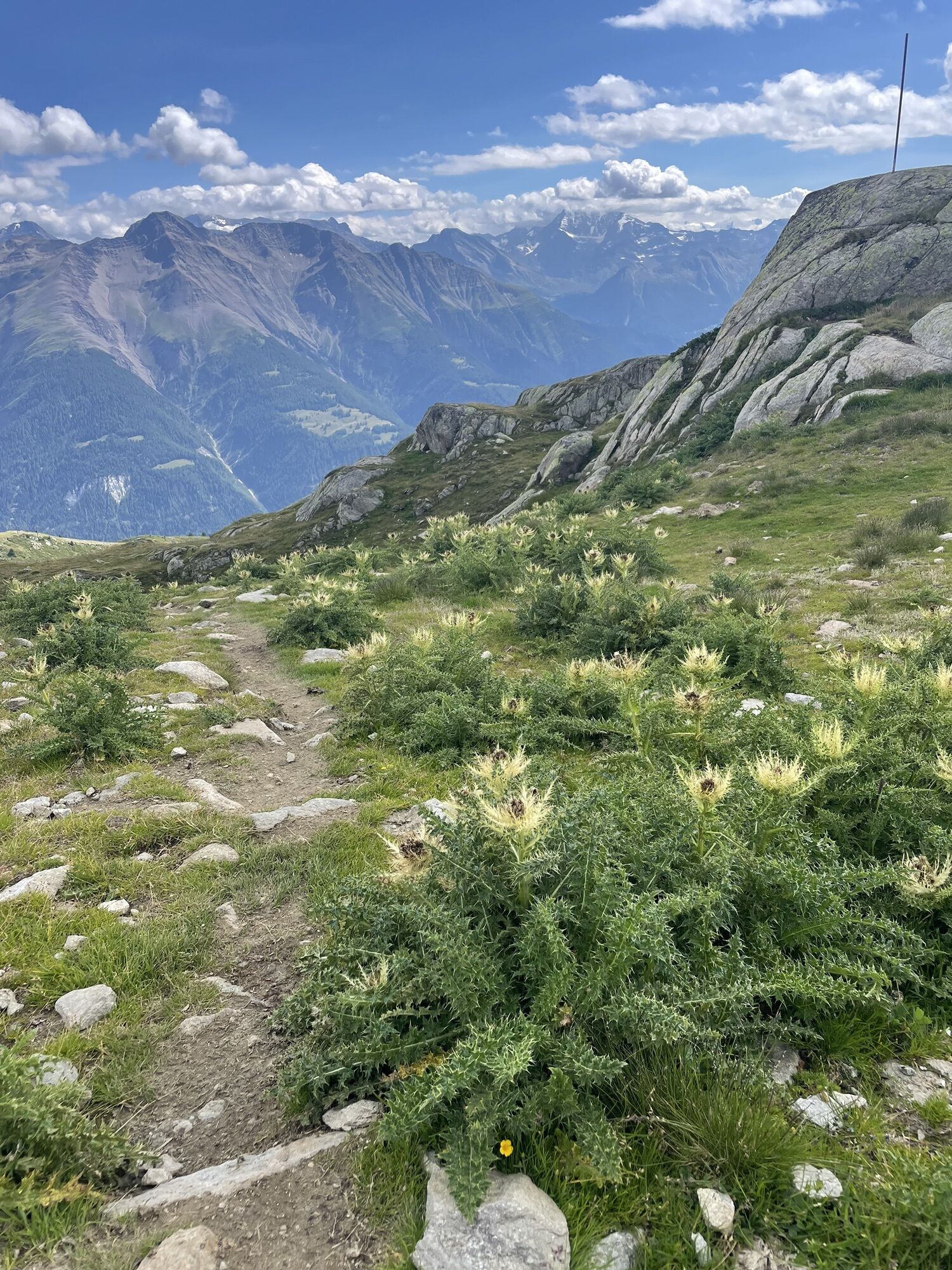
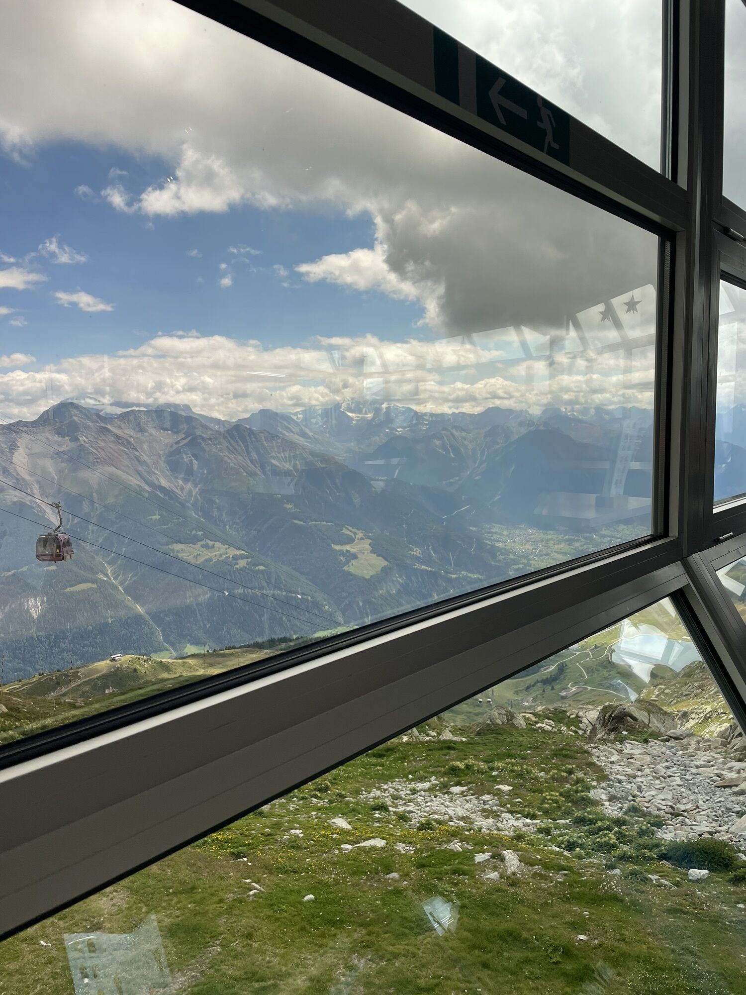
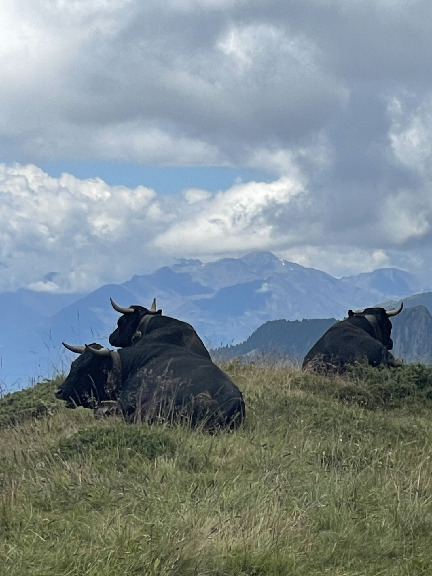
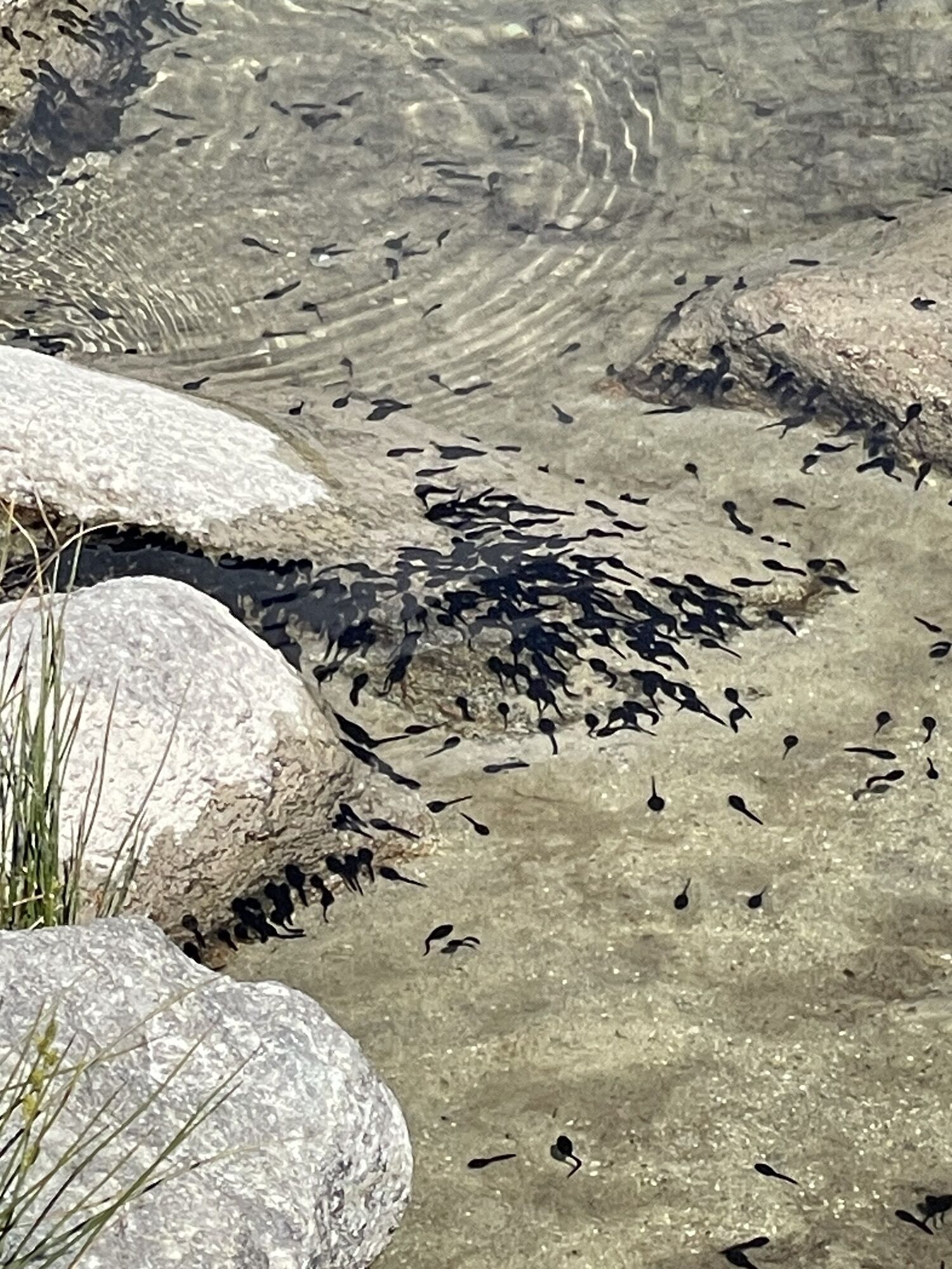
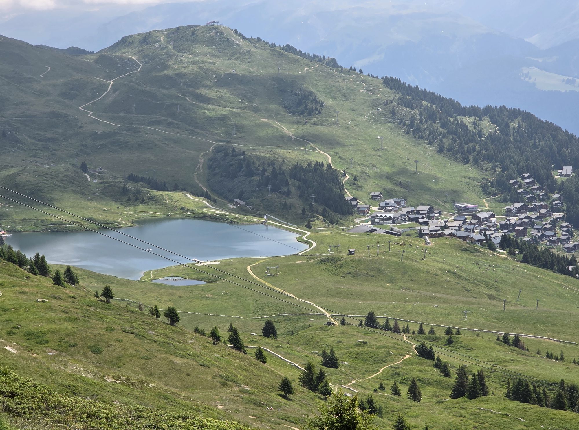
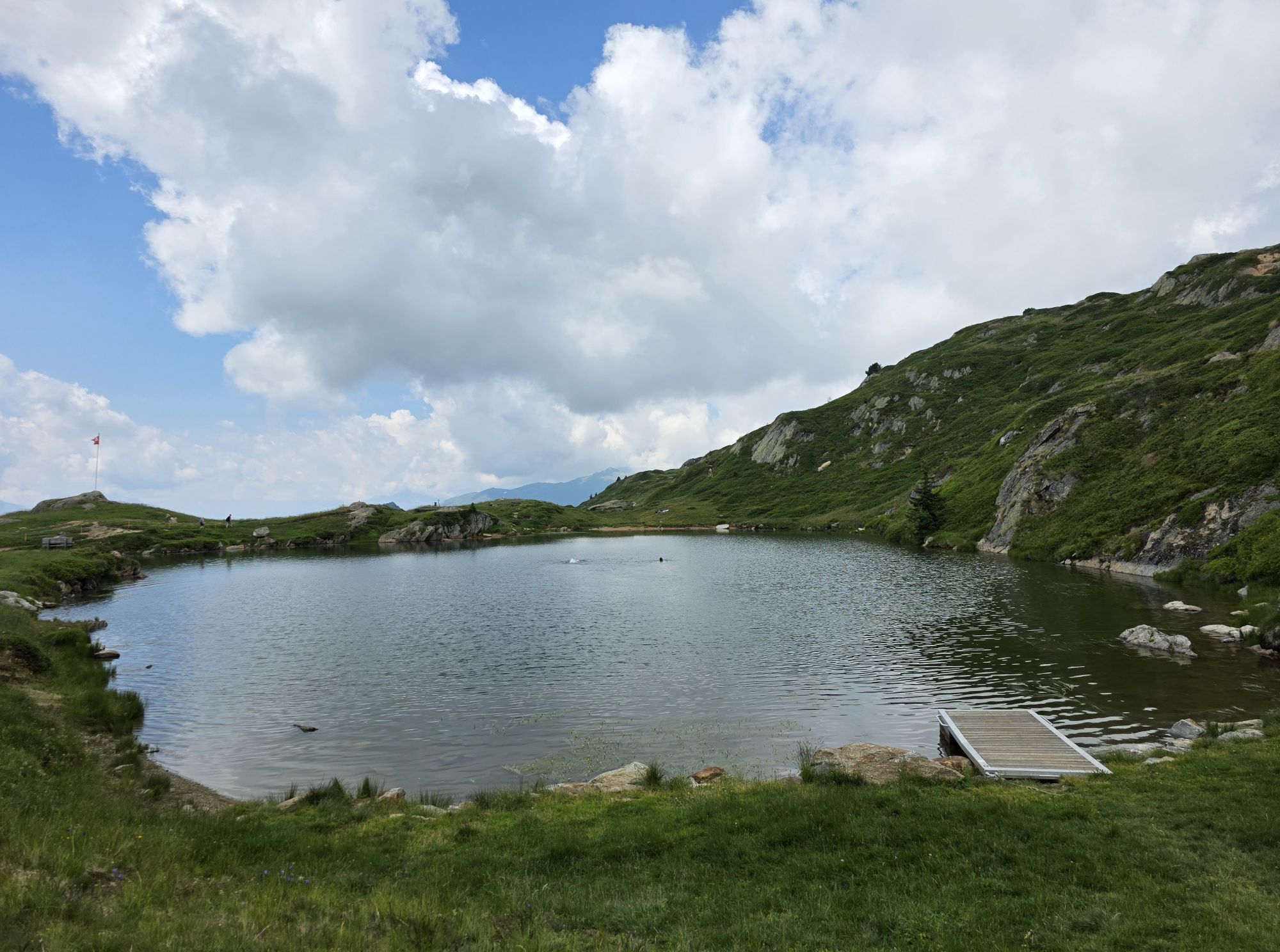
Photos de nos utilisateurs
-

 © Csilla HanákCréé le 11.10.2023
 -

 © Ede FaludiCréé le 20.02.2025
 -
 © Csilla HanákCréé le 11.10.2023
 -
 © Csilla HanákCréé le 11.10.2023
 -
 © Csilla HanákCréé le 11.10.2023
 -
 © Csilla HanákCréé le 11.10.2023
 -
 © Csilla HanákCréé le 11.10.2023
 -
 © Patrick LuggenCréé le 10.10.2023
 -
 © Heinrich MocelliniCréé le 13.10.2022
 -
 © Heinrich MocelliniCréé le 13.10.2022
 -
 © Heinrich MocelliniCréé le 13.10.2022
 -
 © GijsCréé le 05.04.2026
 -
 © Christian Klaus 1Créé le 01.04.2026
 -
 © Christian Klaus 1Créé le 01.04.2026
 -
 © Christian Klaus 1Créé le 01.04.2026
 -
 © Yentl SpiteriCréé le 05.03.2026
 -
 © Thomas Aebi 1Créé le 05.03.2026
 -
 © Yentl SpiteriCréé le 01.03.2026
 -
 © Eckehard LiesausCréé le 26.02.2026
 -
 © Peter VonarburgCréé le 25.02.2026
 -
 © Peter VonarburgCréé le 25.02.2026
 -
 © Eckehard LiesausCréé le 24.02.2026
 -
 © Peter VonarburgCréé le 23.02.2026
 -
 © Peter VonarburgCréé le 22.02.2026
 -
 © .liam010Créé le 19.02.2026
 -

 © André MoergeliCréé le 18.10.2025
 -
 © André MoergeliCréé le 18.10.2025
 -
 © André MoergeliCréé le 18.10.2025
 -
 © Severin SturzeneggerCréé le 04.10.2025
 -
 © Severin SturzeneggerCréé le 04.10.2025
 -
 © Severin SturzeneggerCréé le 04.10.2025
 -
 © Albert LehnerCréé le 03.10.2025
 -

 © Peter BurkiCréé le 01.08.2025
 -

 © Babs MoergeliCréé le 31.07.2025
 -
 © Babs MoergeliCréé le 31.07.2025
 -
 © Babs MoergeliCréé le 31.07.2025
 -
 © Babs MoergeliCréé le 31.07.2025
 -
 © Babs MoergeliCréé le 31.07.2025
 -
 © Babs MoergeliCréé le 30.07.2025
 -
 © Babs MoergeliCréé le 12.07.2025
 -
 © André MoergeliCréé le 05.07.2025
 -
 © André MoergeliCréé le 05.07.2025
 -
 © André MoergeliCréé le 05.07.2025
 -
 © André MoergeliCréé le 05.07.2025
 -
 © André MoergeliCréé le 05.07.2025
 -

 © Prter TurianCréé le 29.01.2025
 -
 © Prter TurianCréé le 29.01.2025
 -
 © Prter TurianCréé le 29.01.2025


Parcours
Fiesch
(1 044 m)
Village
0,0 km
Lax
(1 039 m)
Village
23,3 km
Bettmeralp
(1 948 m)
Village
46,9 km
Kirche Betten
(1 207 m)
Lieu de culte
50,5 km
Greich
(1 357 m)
Village
56,0 km
Sparrhorn
(2 289 m)
Sommet
59,0 km
Ried-Mörel
(1 195 m)
Village
73,7 km
Parcours
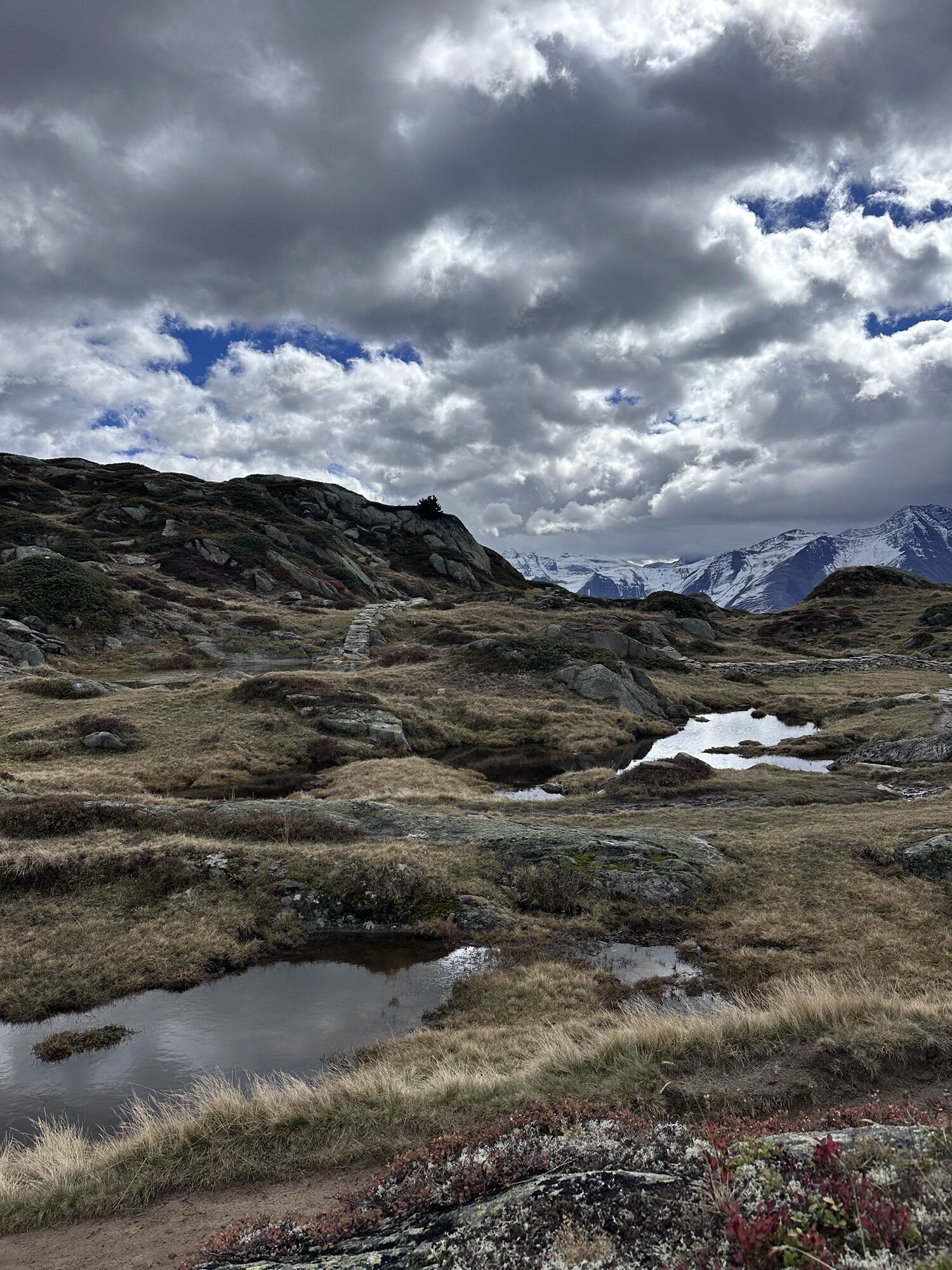
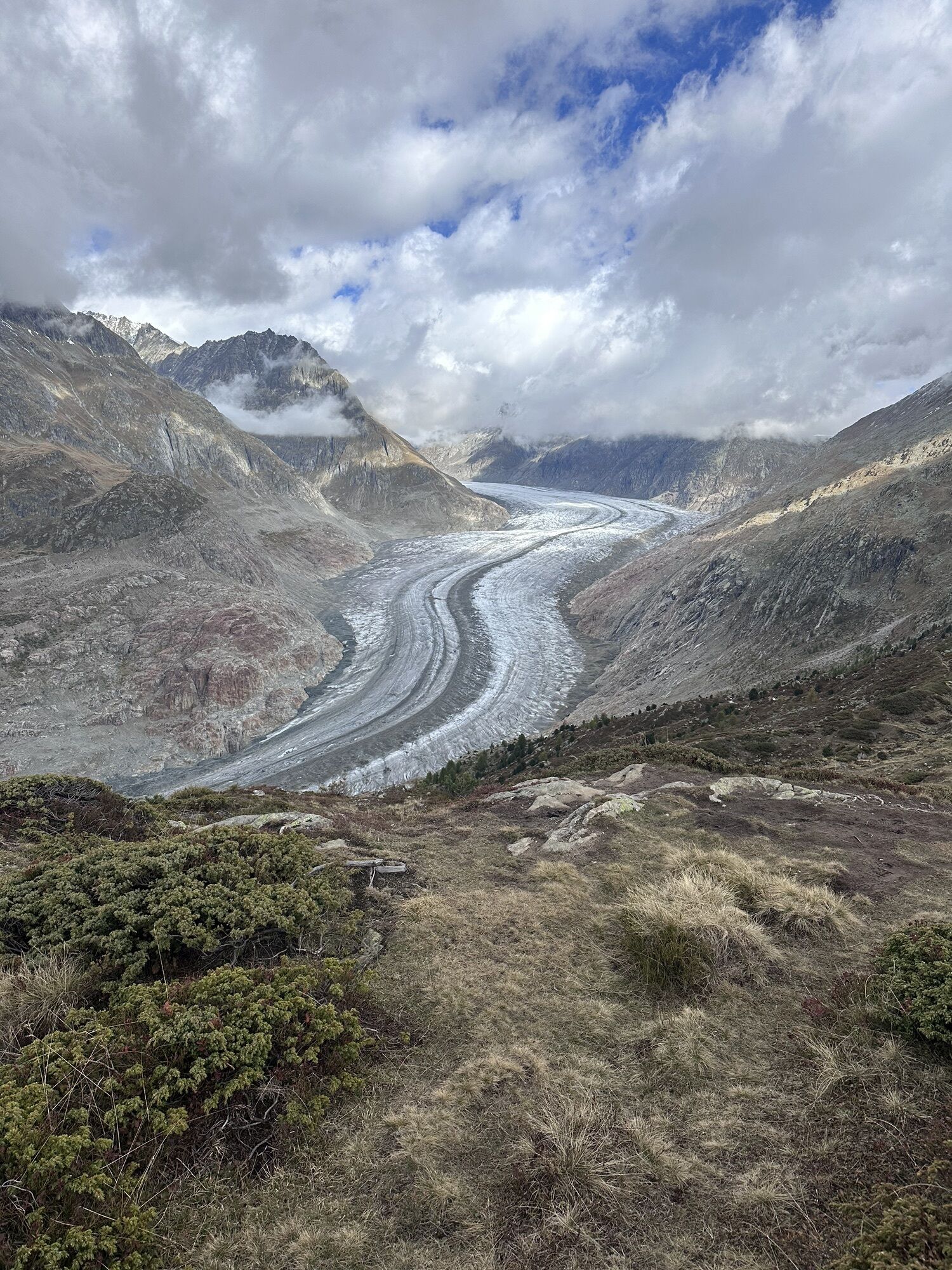
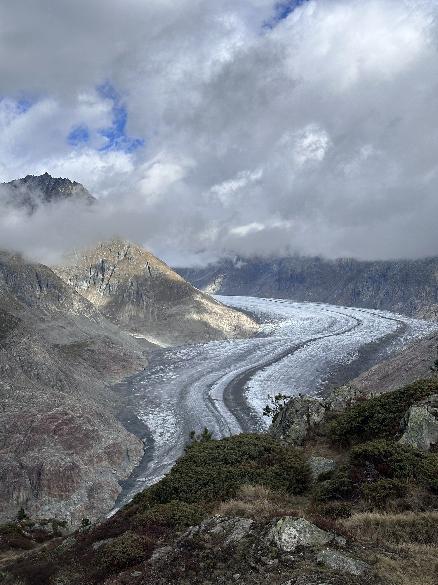
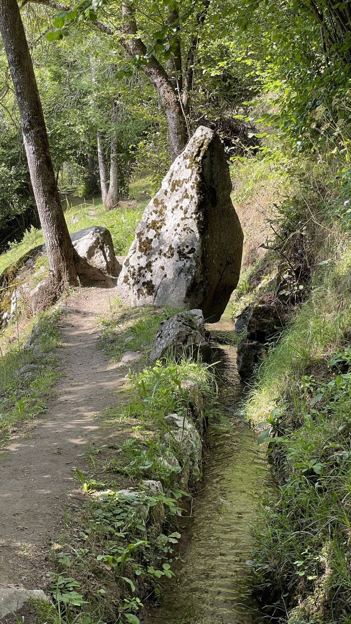
Fiesch - Kirche Betten - Sparrhorn - Furka
difficile
VTT
77,44
km
Fiesch
(1 044 m)
Village
0,0 km
Fiescheralp
(2 224 m)
Station de télécabines
2,5 km
Fiescherstafel
(1 881 m)
Lotissement
4,8 km
Fiesch
(1 044 m)
Village
10,1 km
Fiesch
(1 067 m)
Gare ferroviaire
10,2 km
Fiescheralp
(2 210 m)
Station de télécabines
10,3 km
Fiescheralp
(2 224 m)
Station de télécabines
12,8 km
Laxeralp
(2 221 m)
Couloir/terrain
13,4 km
Bättmer Hitta
(2 170 m)
Restaurant
15,0 km
Martisberg
(1 367 m)
Village
20,4 km
Lax
(1 039 m)
Village
23,3 km
Ritena
(1 222 m)
Lotissement
24,5 km
Zum Holz
(1 196 m)
Couloir/terrain
26,2 km
Wiler
(1 117 m)
Quartier de la ville
27,2 km
Fiesch
(1 044 m)
Village
29,1 km
Fiesch
(1 067 m)
Gare ferroviaire
29,2 km
Fiescheralp
(2 210 m)
Station de télécabines
29,3 km
Fiescheralp
(2 224 m)
Station de télécabines
31,8 km
Laxeralp
(2 221 m)
Couloir/terrain
32,4 km
Bättmer Hitta
(2 170 m)
Restaurant
34,1 km
Bettmeralp
(1 997 m)
Station de télécabines
36,5 km
Bettmerhorn
(2 650 m)
Station de télécabines
38,8 km
Bergrestaurant Bettmerhorn
(2 642 m)
Restaurant
38,9 km
Gopplerlücke
(2 051 m)
Couloir/terrain
44,9 km
Bettmeralp
(1 960 m)
Station de télécabines
46,0 km
Bettmeralp
(1 950 m)
Station de télécabines
46,3 km
Alpmatte
(1 863 m)
Couloir/terrain
46,7 km
Bettmeralp
(1 948 m)
Village
46,9 km
Grotte
(1 250 m)
Couloir/terrain
49,9 km
Egga
(1 231 m)
Lotissement
50,2 km
Betten
(1 203 m)
Village
50,5 km
Kirche Betten
(1 207 m)
Lieu de culte
50,5 km
Betten Dorf
(1 216 m)
Station de télécabines
50,7 km
Breiten
(847 m)
Village
53,5 km
Massholter
(808 m)
Couloir/terrain
53,8 km
Filet
(757 m)
Village
54,2 km
Furka
(765 m)
Restaurant
54,6 km
Mörel
(802 m)
Station de télécabines
54,7 km
Greich-Goppisberg
(1 364 m)
Station de télécabines
54,8 km
Griebja
(1 612 m)
Couloir/terrain
55,4 km
Greich
(1 357 m)
Village
56,0 km
Riederalp-Mitte
(1 920 m)
Station de télécabines
56,1 km
Riederalp
(1 925 m)
Village
56,2 km
Brüch
(1 884 m)
Quartier de la ville
56,2 km
Gletscherbahn Moosfluh
(1 895 m)
Station de télécabines
58,0 km
Restaurant Chüestall
(2 146 m)
Restaurant
58,6 km
Blausee
(2 206 m)
Station de télécabines
58,8 km
Sparrhorn
(2 289 m)
Sommet
59,0 km
Moosfluh
(2 394 m)
Station de télécabines
59,5 km
Blausee
(2 206 m)
Station de télécabines
61,9 km
Riederalp
(1 925 m)
Village
63,9 km
Chiweide
(1 908 m)
Couloir/terrain
64,0 km
Kapelle St. Bernhard
(1 890 m)
Lieu de culte
64,8 km
Goppisberg
(1 343 m)
Village
68,6 km
Breiten
(847 m)
Village
71,5 km
Massholter
(808 m)
Couloir/terrain
71,8 km
Furka
(765 m)
Restaurant
72,6 km
Mörel
(802 m)
Station de télécabines
72,6 km
Alpenblick
(1 191 m)
Restaurant
72,7 km
Ried-Mörel
(1 175 m)
Station de télécabines
73,6 km
Ried-Mörel
(1 195 m)
Village
73,7 km
Greich
(1 357 m)
Village
74,4 km
Massholter
(808 m)
Couloir/terrain
76,6 km
Filet
(757 m)
Village
76,9 km
Furka
(765 m)
Restaurant
77,4 km
Pas encore d'évaluation
Webcams de la tournée
-
Hohbiel
-
Bettmerhorn Aletsch Gebiet
-
Bettmerhorn
-
Talstation Sesselbahn Bruchegg
-
Bergstation Wurzenbord
-
Bellwald Tourismus
-
Eggishorn
-
Eggishorn
-
Eggishorn
-
Eggishorn
-
Eggishorn
-
Eggishorn
-
Eggishorn
-
Bergstation Wurzenbord
-
Bergstation Wurzenbord
-
Bergstation Wurzenbord
-
Bergstation Wurzenbord
-
Bergstation Wurzenbord
-
Belalp - Feriensiedlung Tschuggen
-
Fiesch
-
Termen
-
Moosfluh Bergstation
-
Moosfluh Bergstation
-
Moosfluh Bergstation
-
Moosfluh Bergstation
-
Moosfluh Bergstation
-
Moosfluh Bergstation
-
Golfclub Riederalp
-
Bellwald Furggulti
-
Bellwald Talstation
-
Bellwald Mittelstation Fleschen
-
Fiescheralp - Kühboden
-
Aletschbord
Parcours populaires à proximité
-
UNESCO Höhenweg
Randonnée 3,70 km -
4,0
Panoramaweg über den Aletschgletscher
moyenRandonnée 17,7 km -
4,0
Parcours via ferrata Eggishorn
moyenVia ferrata 1,39 km -
3,0
Lötschenlücke
moyenSki de randonnée 26,2 km -
5,0
Aletsch Sightseeing
moyenRandonnées d'hiver 15,5 km -
5,0
Parcours d'escalade Aletsch
moyenVia ferrata 3,59 km -
4,5
Randonnée au Gletscherblick à Bellwald
moyenRandonnée 8,86 km -
4,0
SENTIER CIRCULAIRE DE NATICHERBERG
moyenRandonnée 12,1 km -
4,0
Höhenwanderung Rosswald
facileRandonnée 6 km -
Cabane Hollandia SAC
difficileRandonnée d'altitude 10,2 km

Randonnée et suivi

Plus de 550.000 propositions de circuits, des cartes détaillées et un planificateur d'itinéraire intuitif font de cette application un must pour tous les passionnés de nature.

Ne manquez pas les offres et l'inspiration pour vos prochaines vacances
S'inscrire à la newsletter
Erreur
Une erreur s'est produite. Veuillez réessayer.
Merci pour votre inscription
Votre adresse électronique a été ajouté à la liste de diffusion.
Parcours en Europe
Autriche
Suisse
Allemagne
Italie
Slovénie
France
Pays-Bas
Belgique
Pologne
Liechtenstein
République tchèque
Slovaquie
Espagne
Croatie
Bosnie-Herzégovine
Luxembourg
Andorre
Portugal
Islande
Royaume-Uni
Irlande
Grèce
Albanie
Macédoine du Nord
Malte
Norvège
Monténégro
Moldavie
Kosovo
Hongrie
Saint-Marin
Roumanie
Estonie
Lettonie
Bélarus
Chypre
Lituanie
Serbie
Bulgarie
Monaco
Danemark
Suède
Finlande