


Panoramaweg über den Aletschgletscher


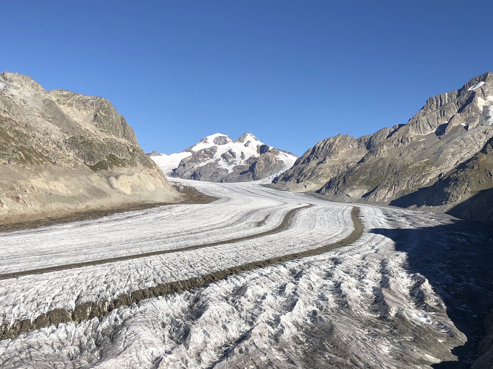
Mittelschwere Rundwanderung ab dem Eggishorn mit herrlichem Aussicht über dem Aletschgletscher (UNESCO Welterbe) und den Walliser und Berner 4000er. Wir haben von der Bettmeralp gestartet und nach einem...
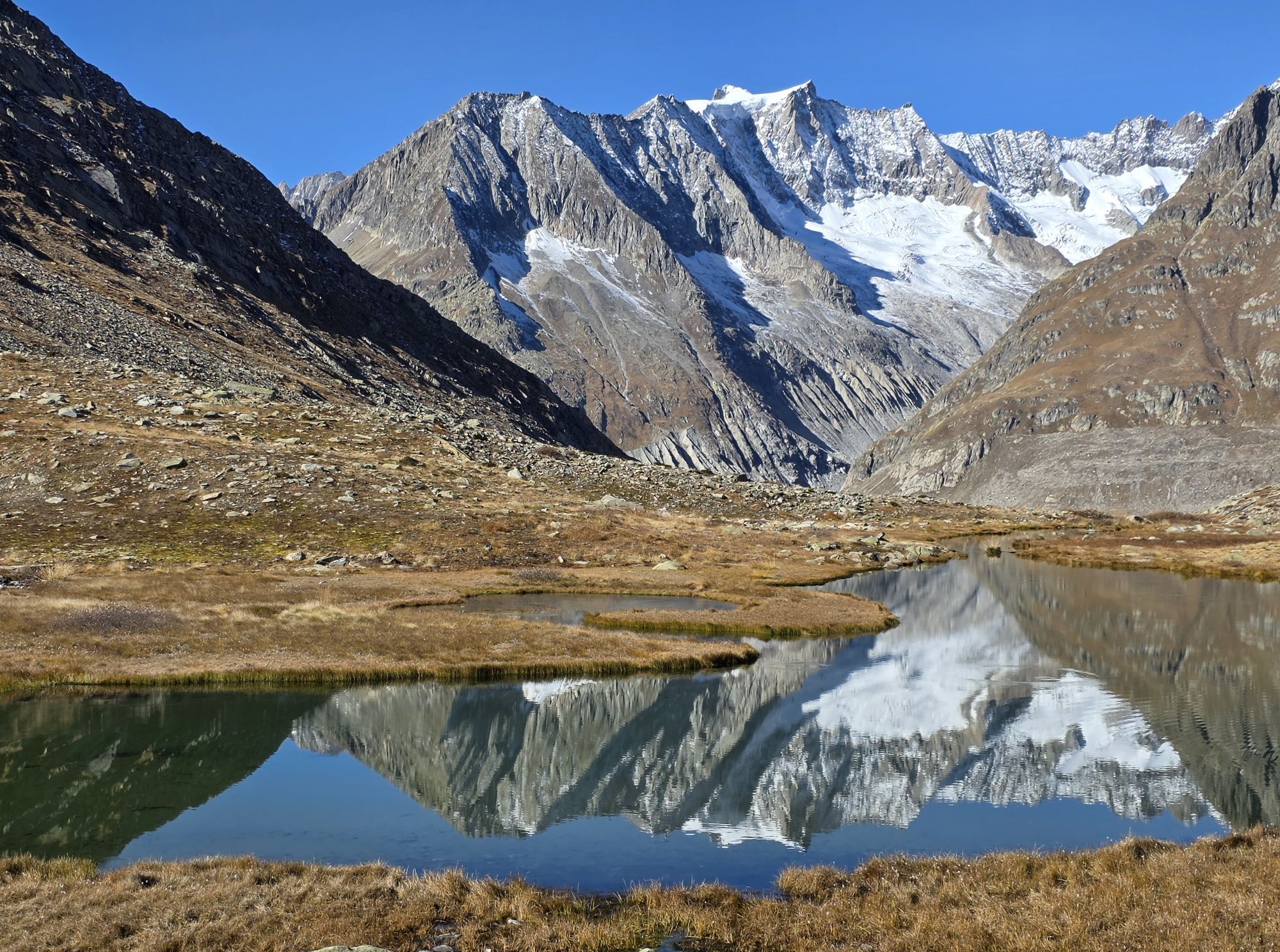
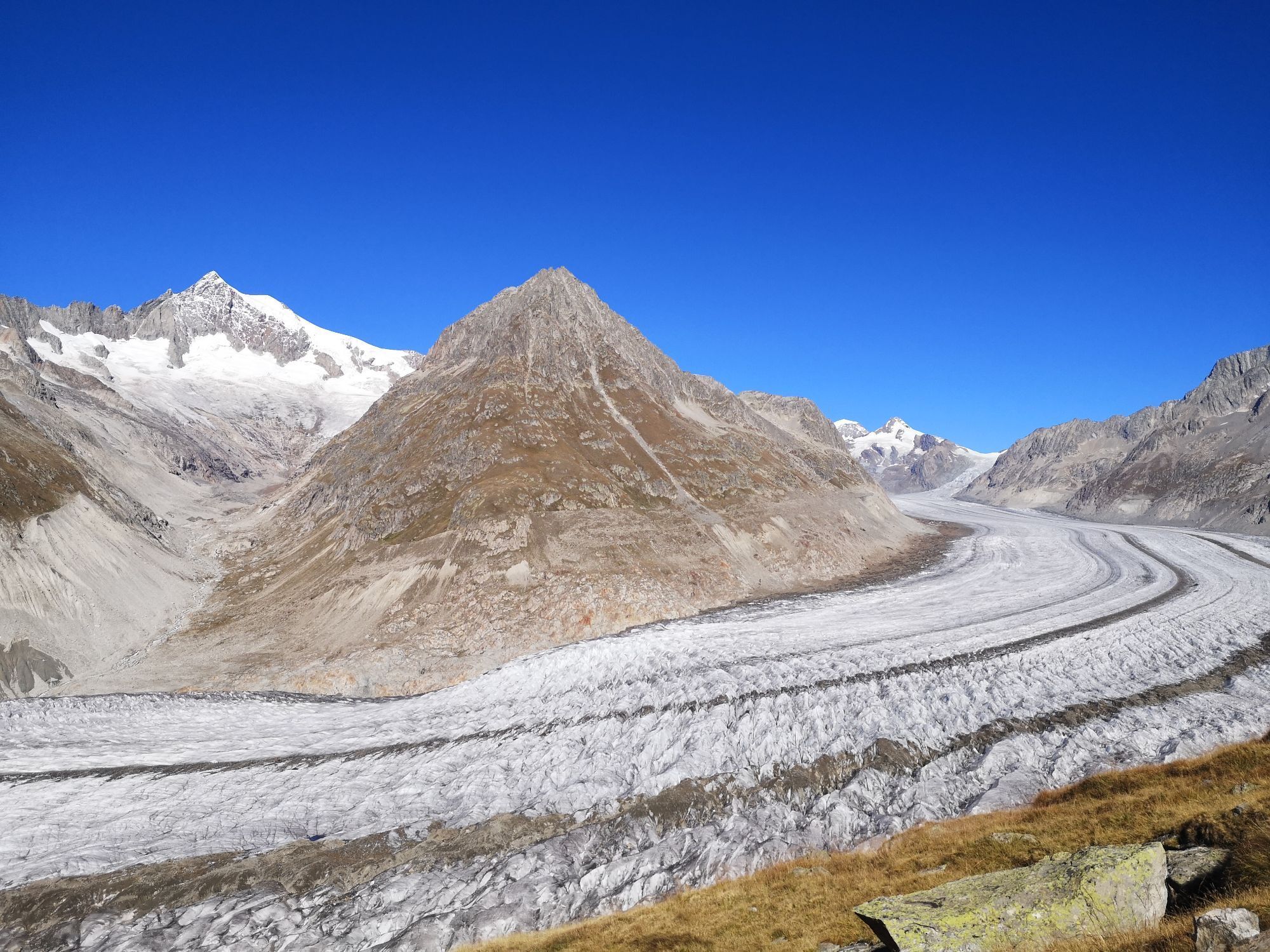
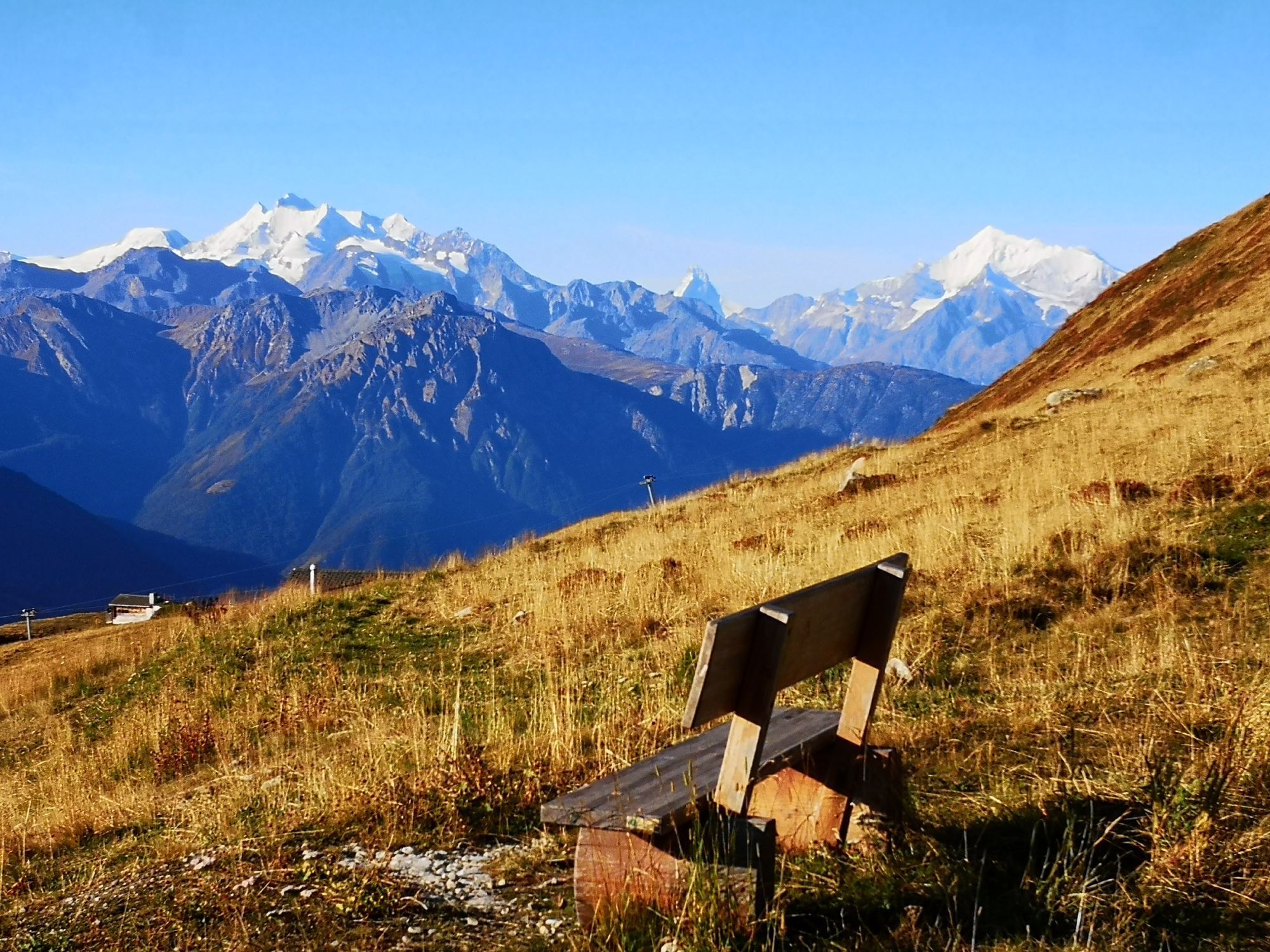
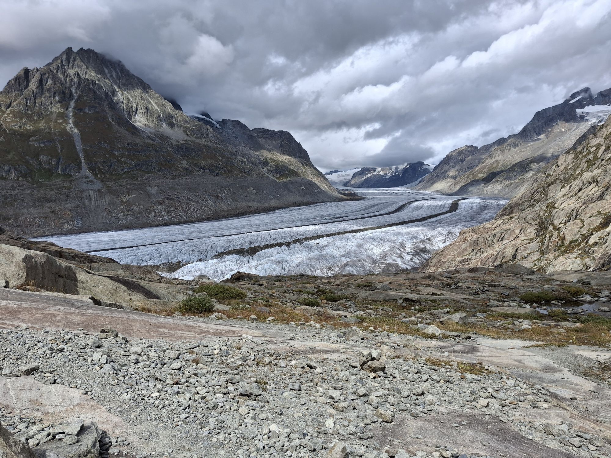
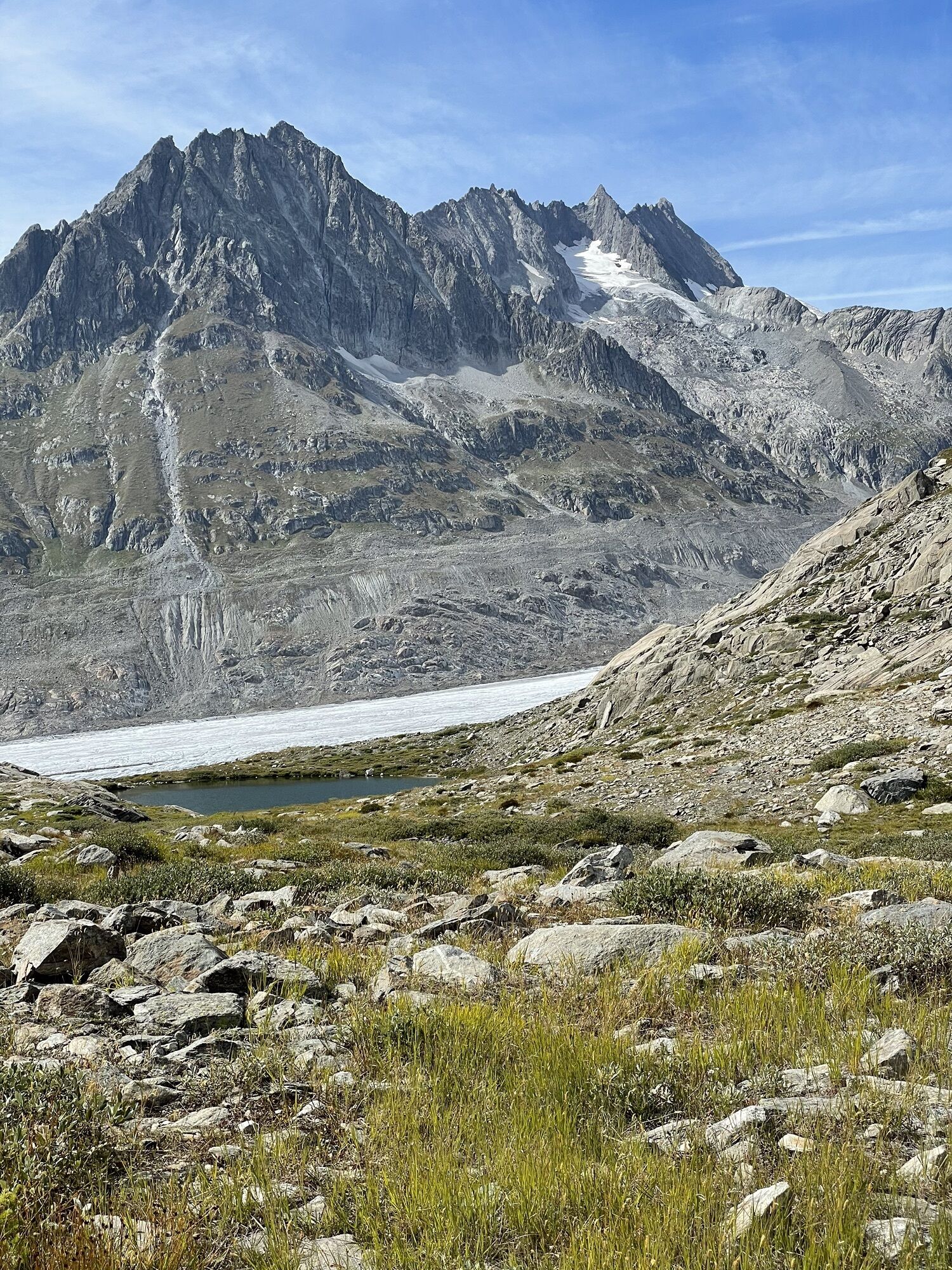
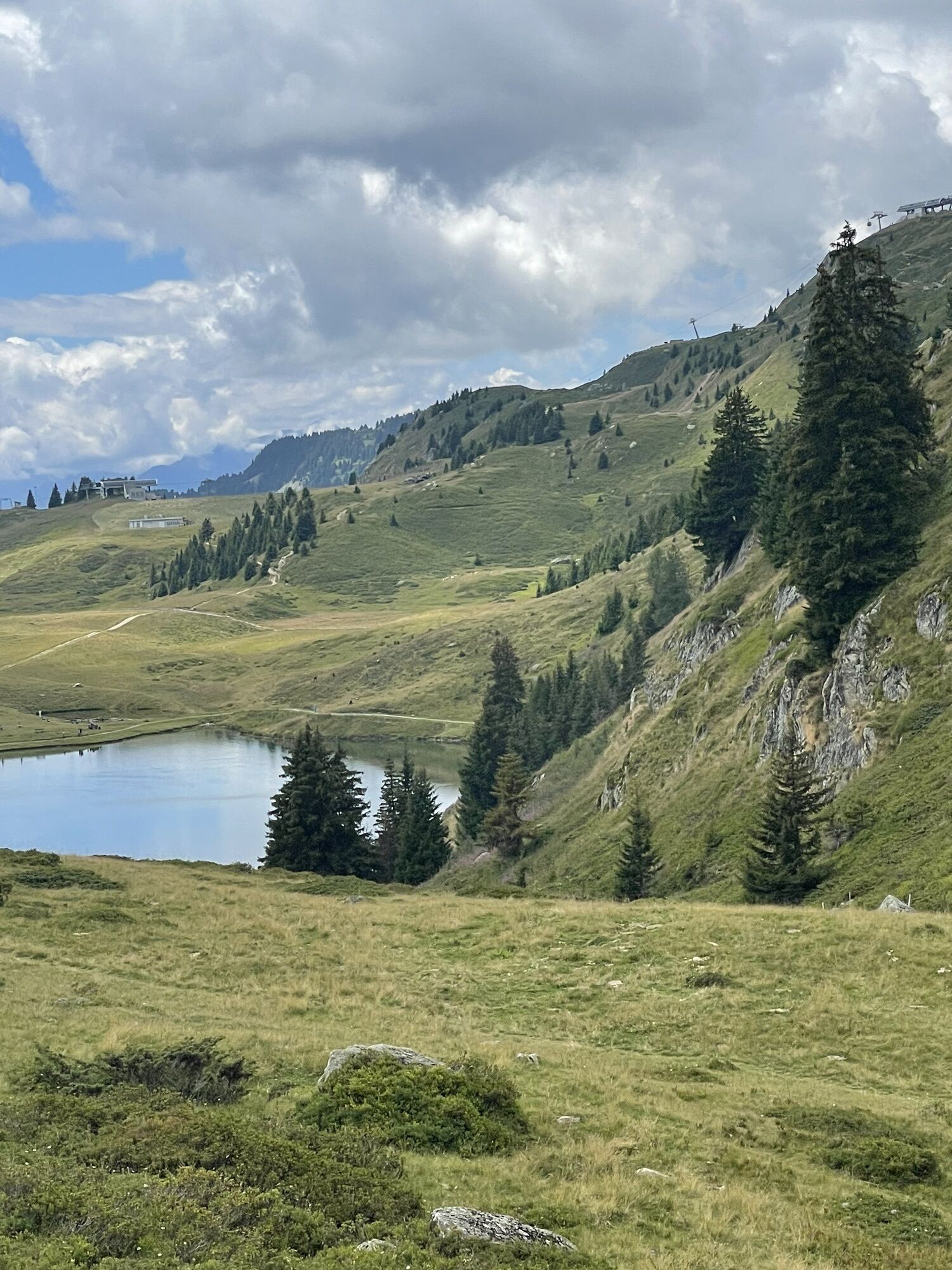
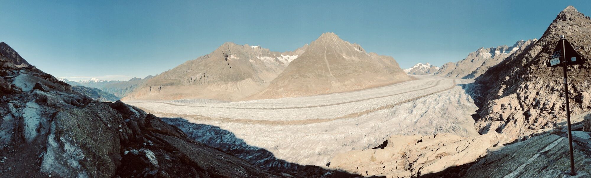
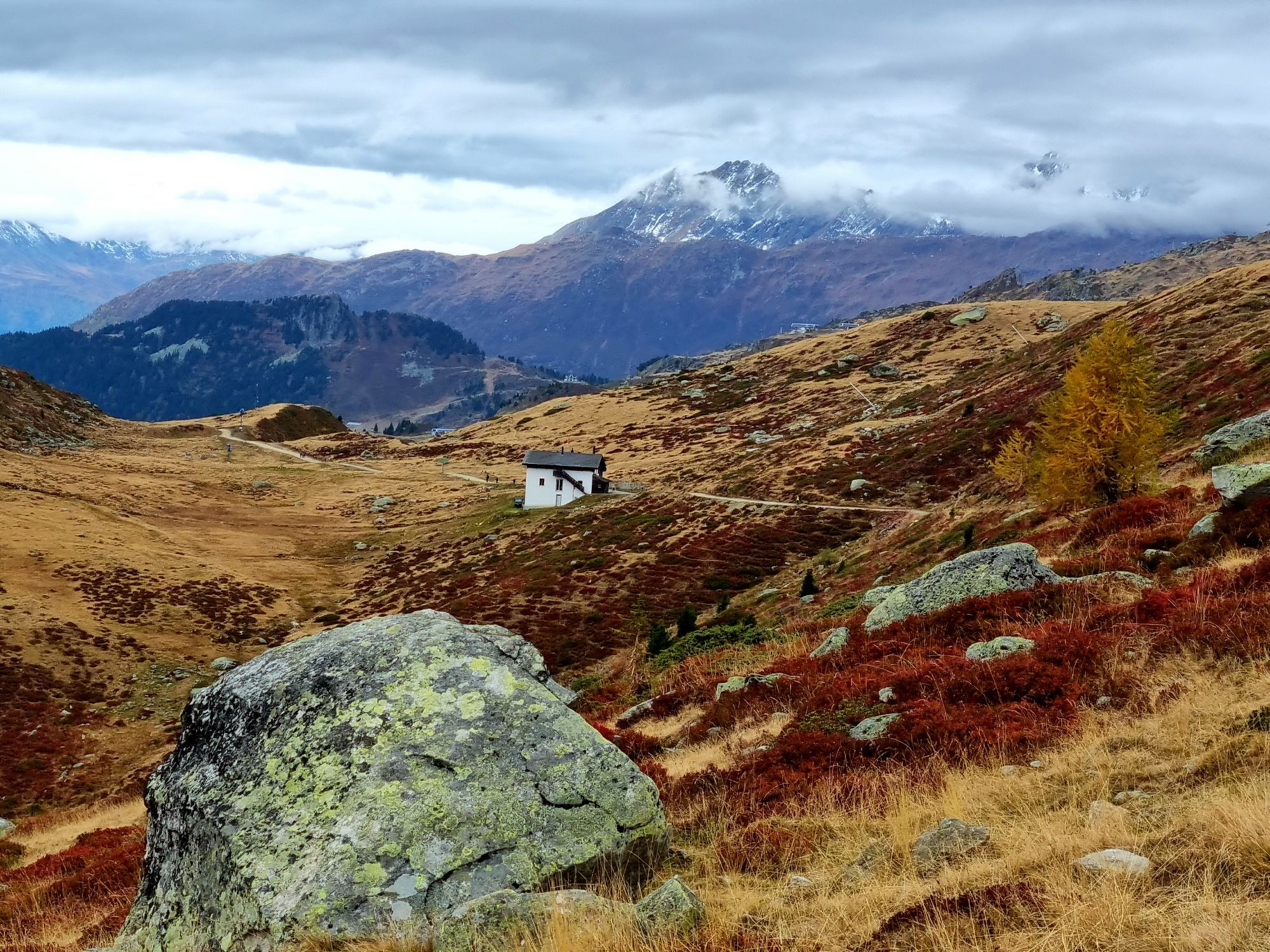
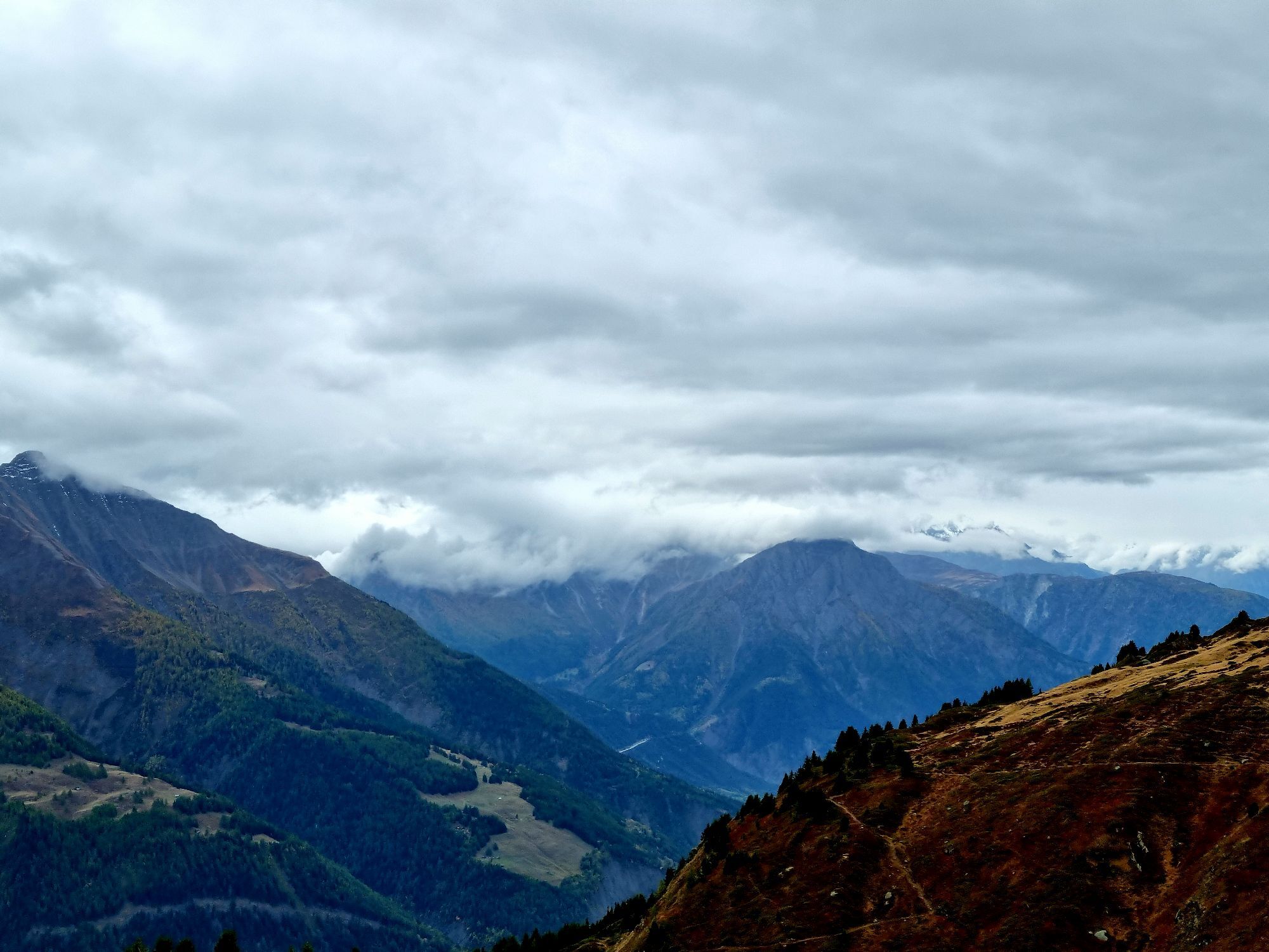
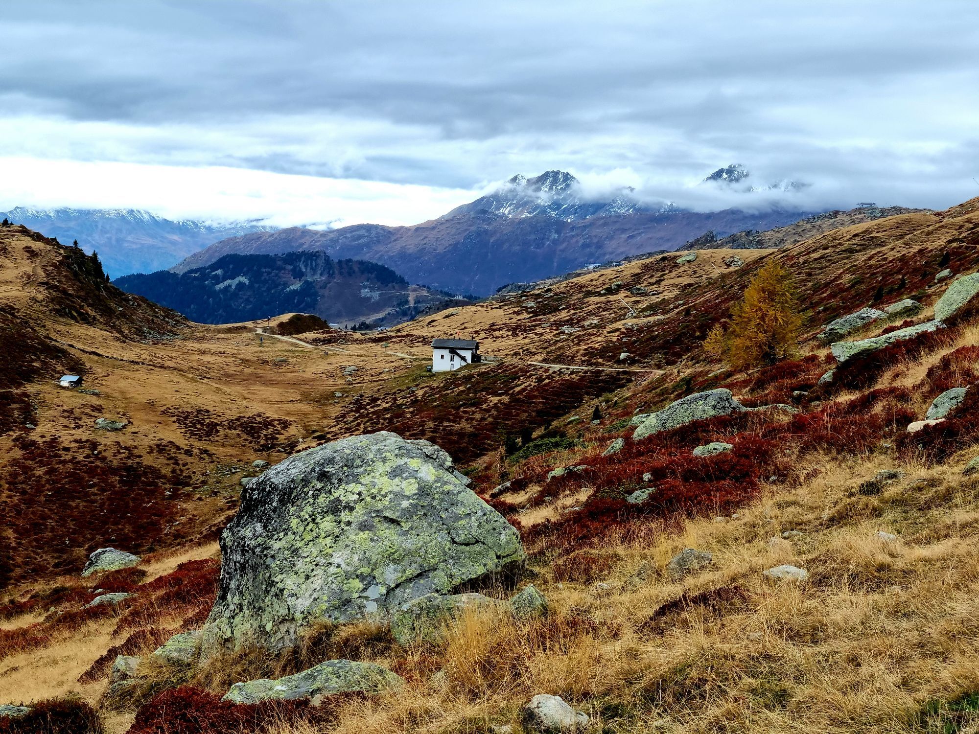
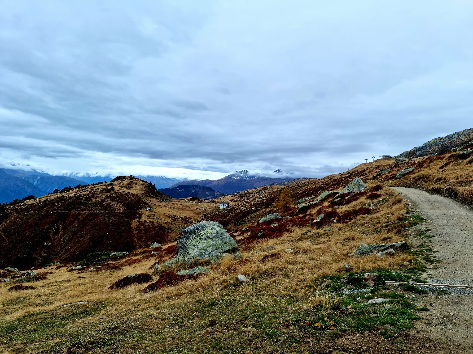
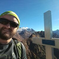
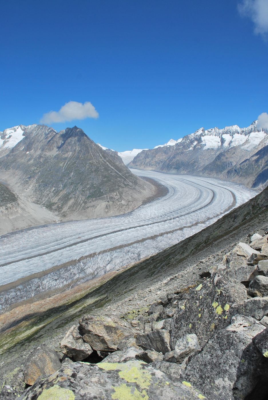
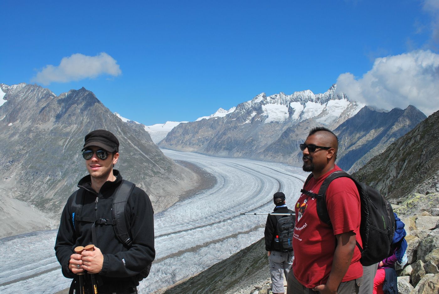
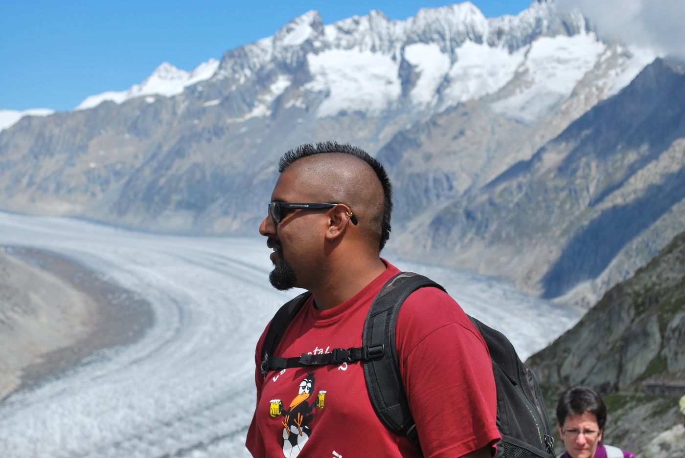
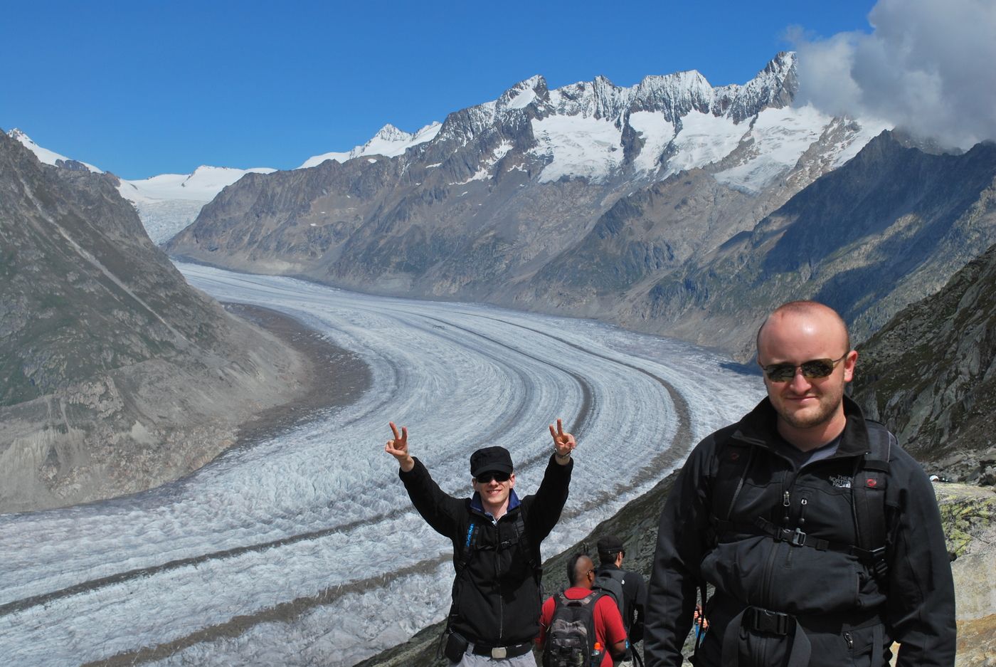
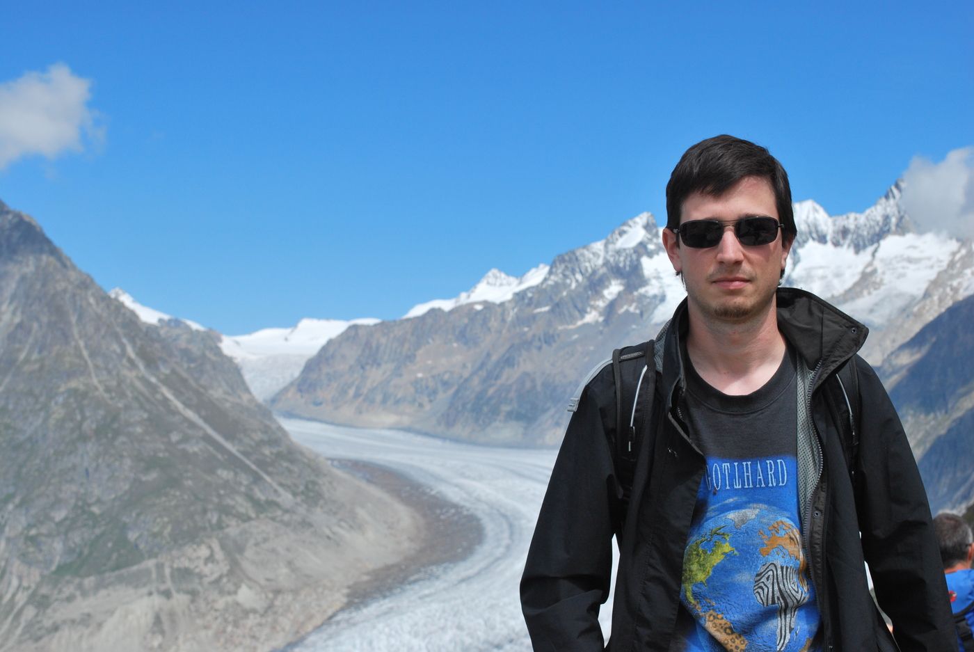
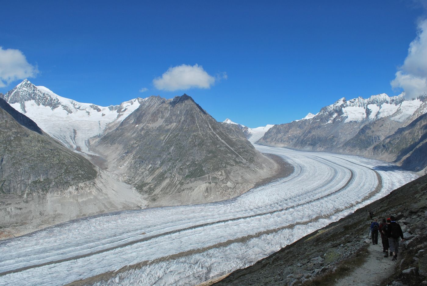
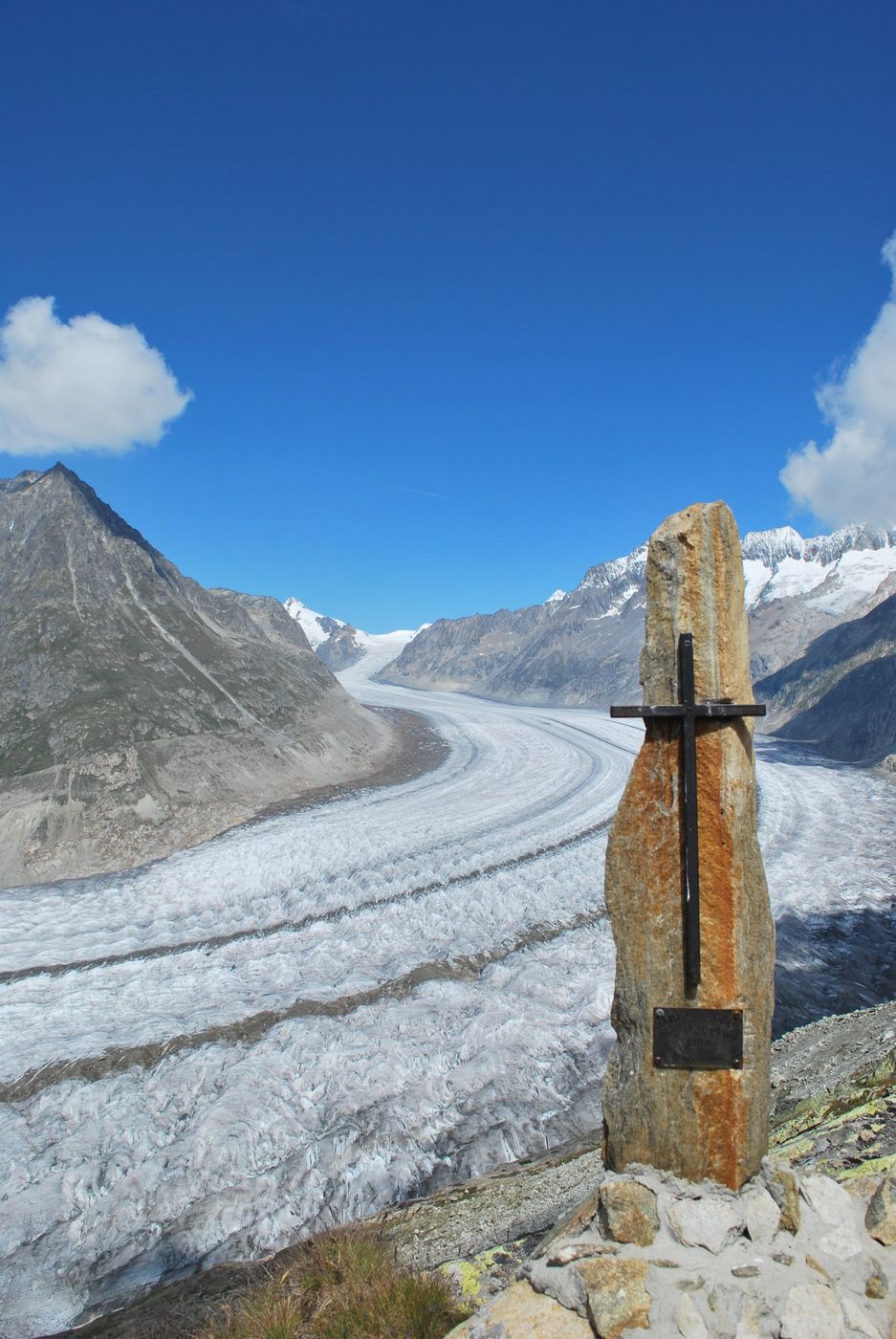
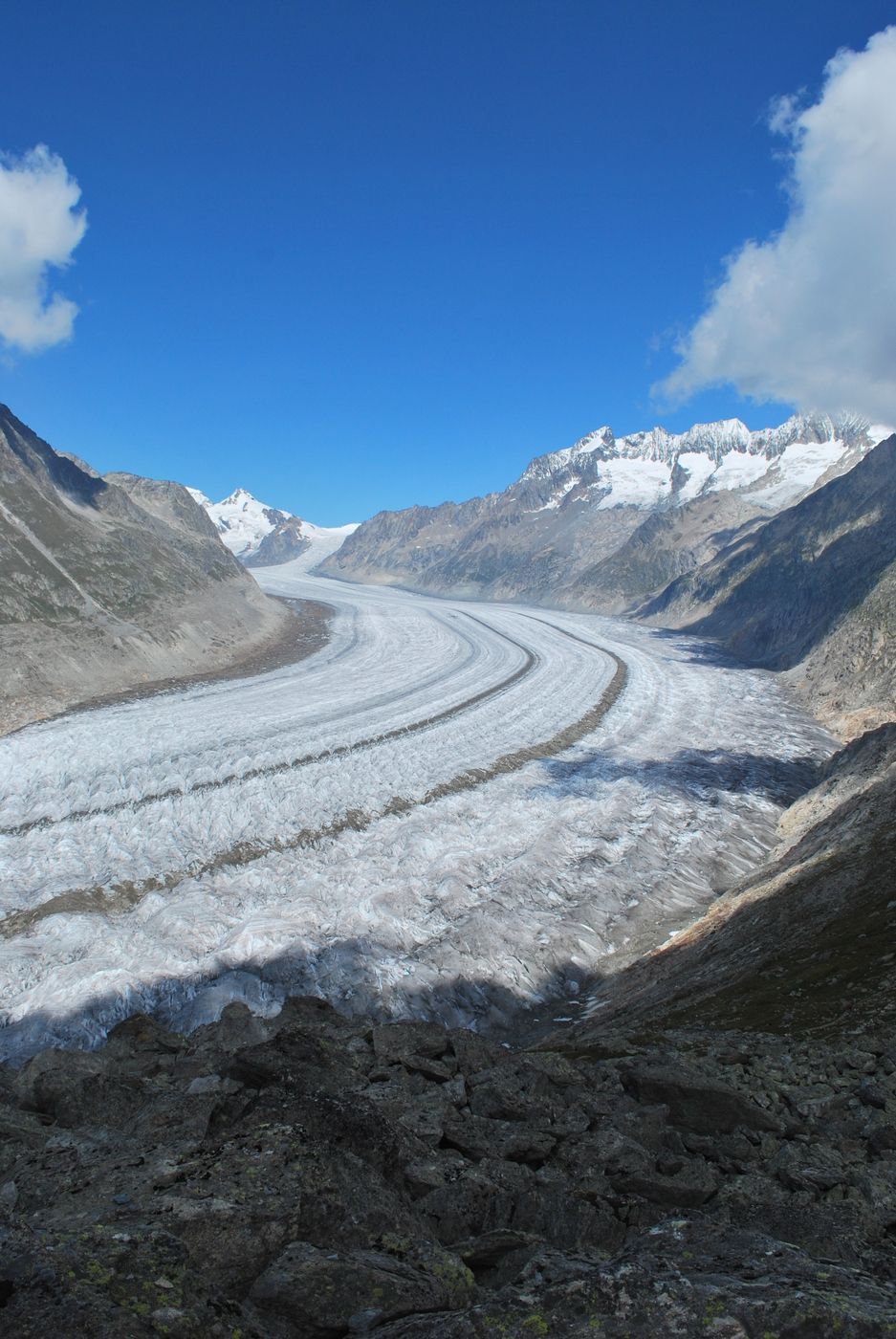
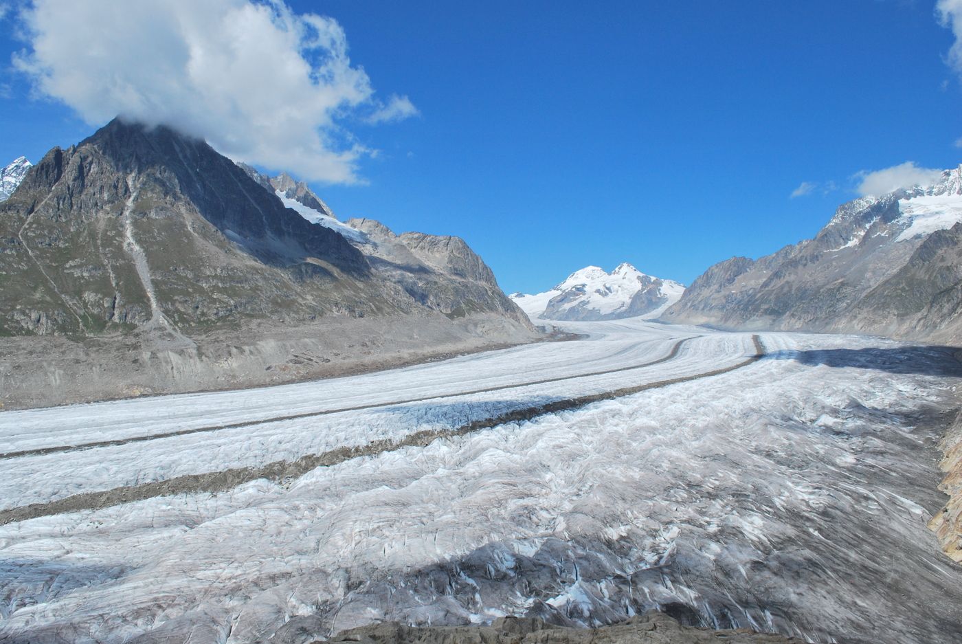
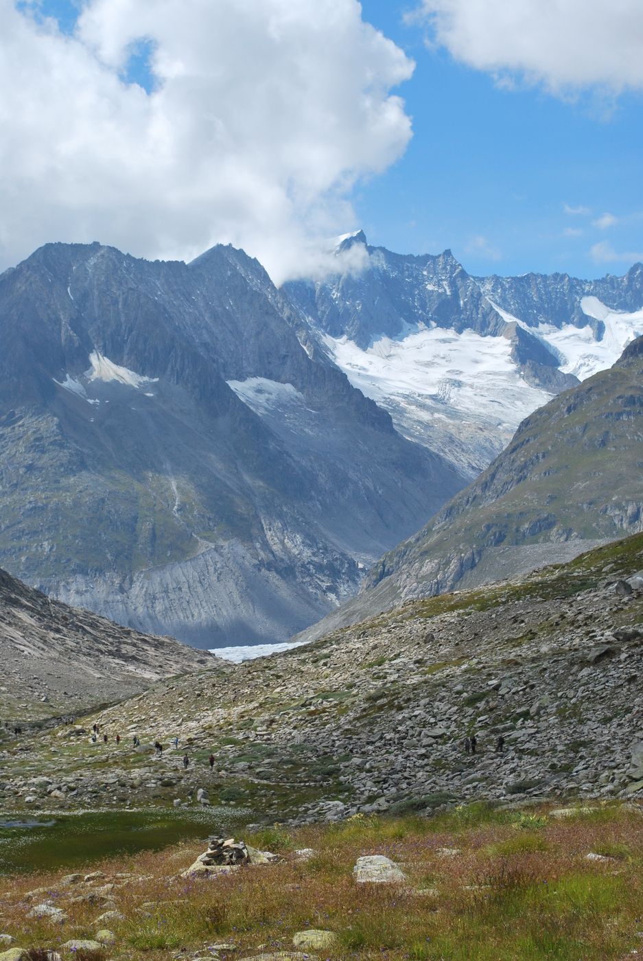
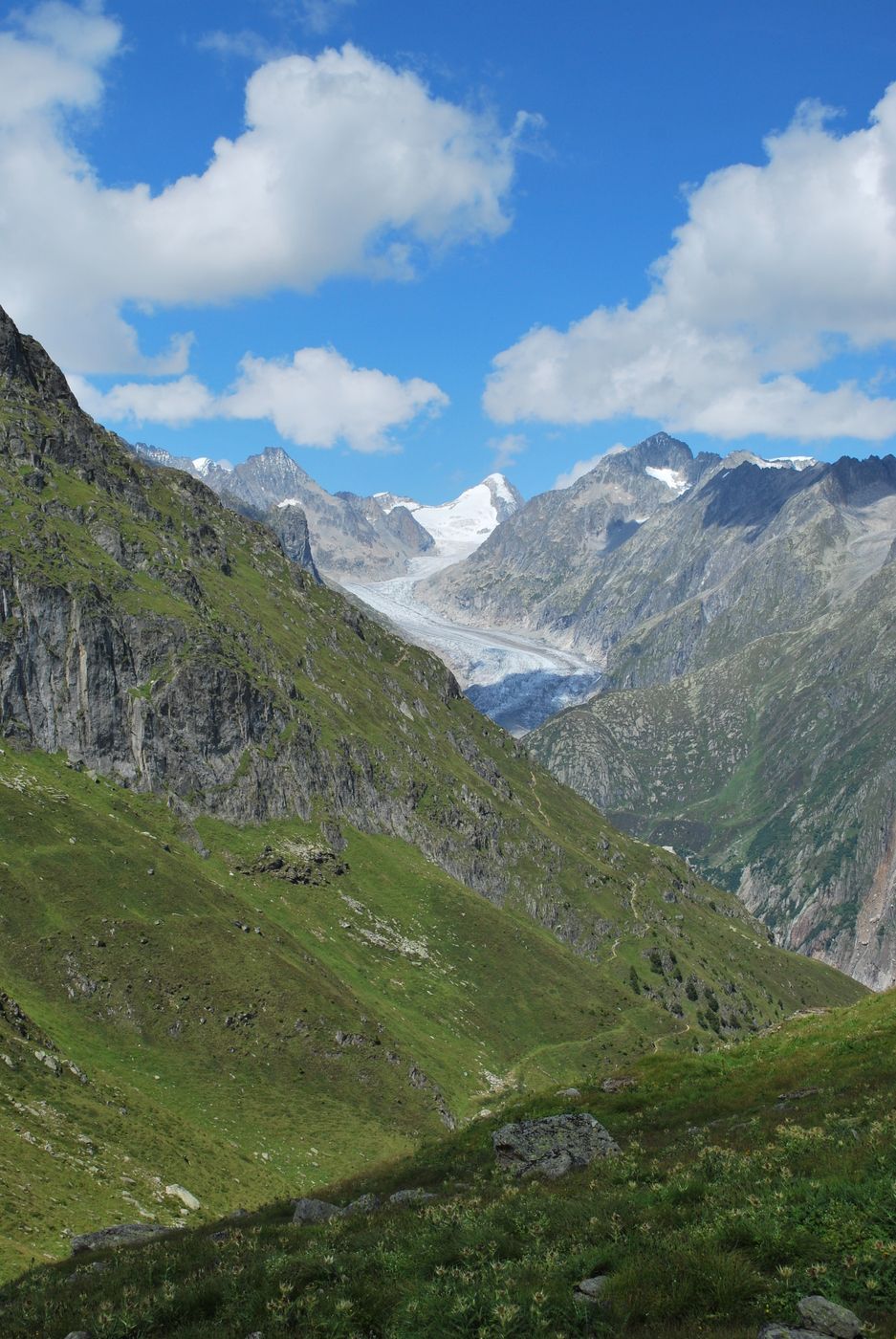
Mittelschwere Rundwanderung ab dem Eggishorn mit herrlichem Aussicht über dem Aletschgletscher (UNESCO Welterbe) und den Walliser und Berner 4000er.
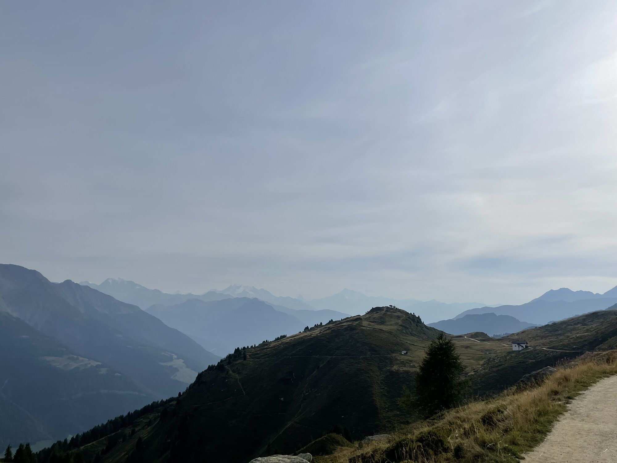
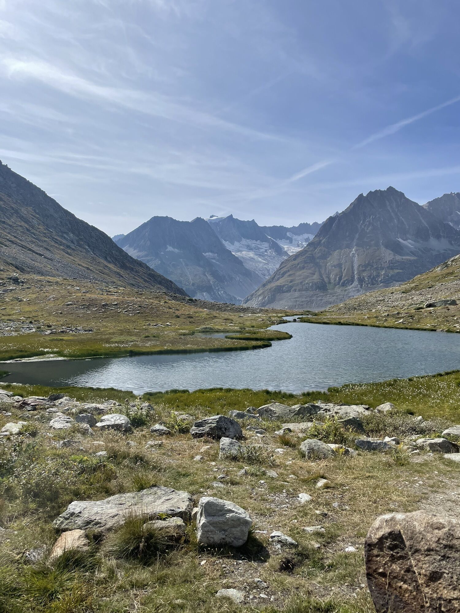
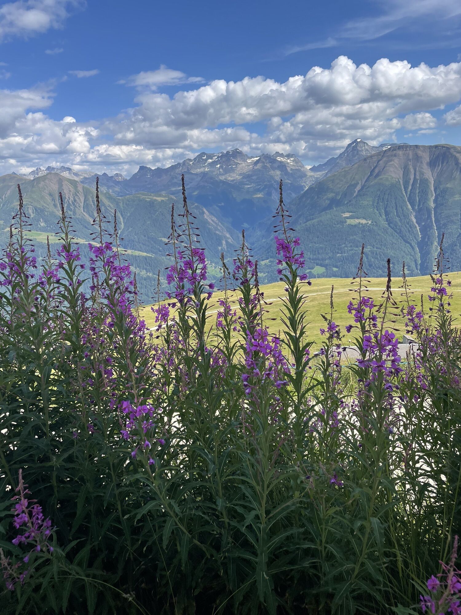
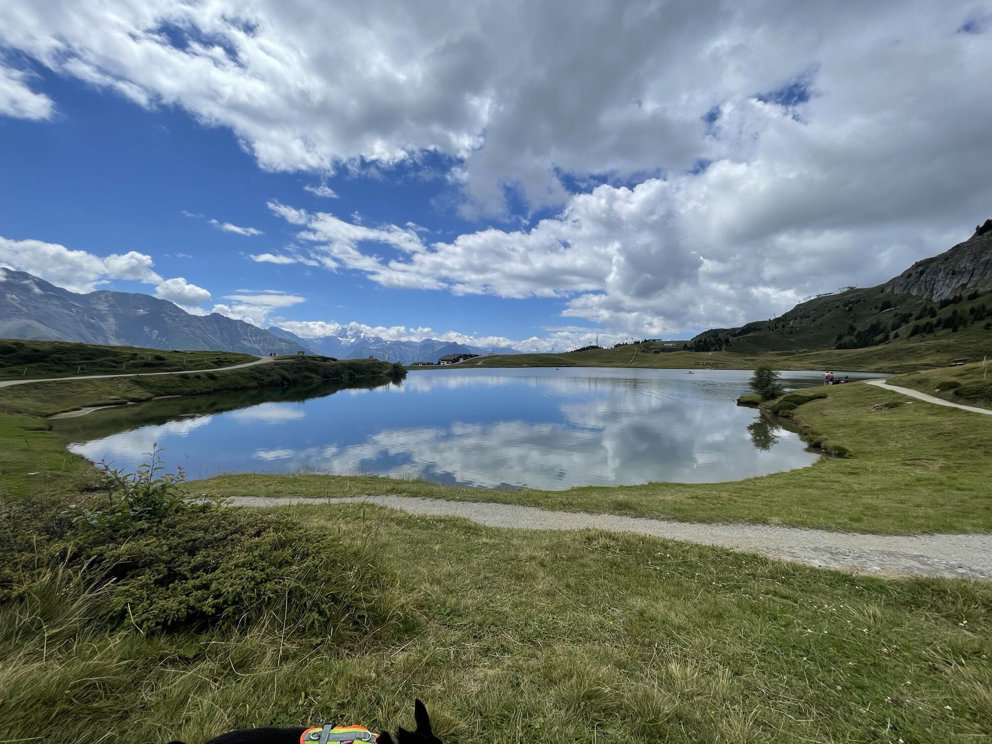
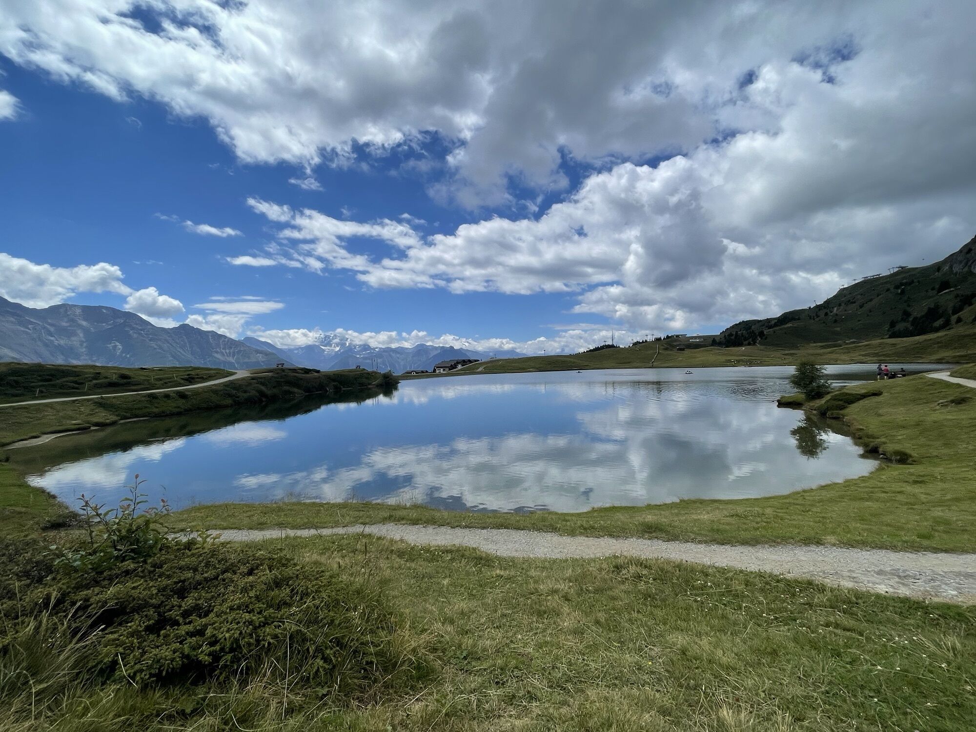
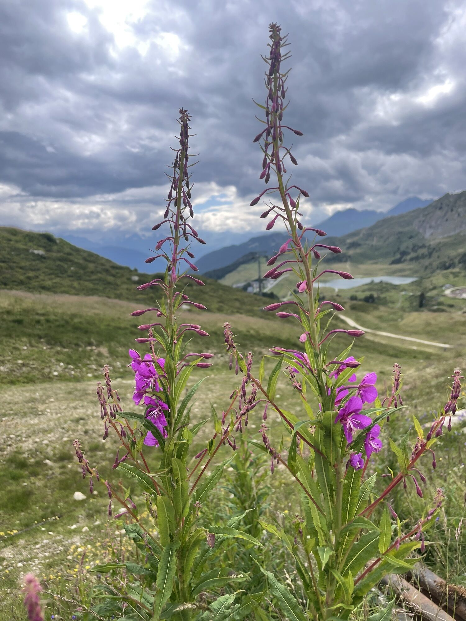
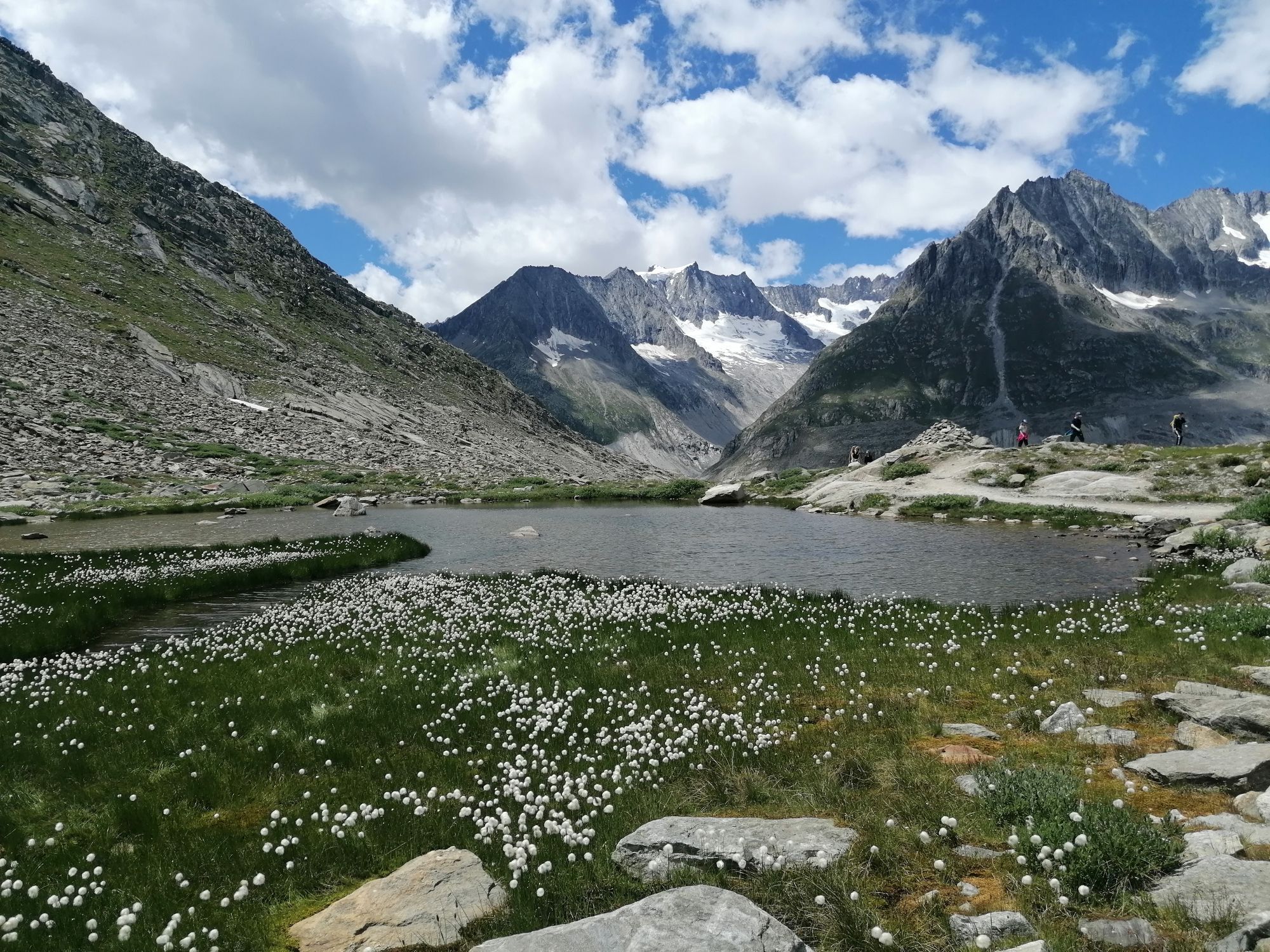
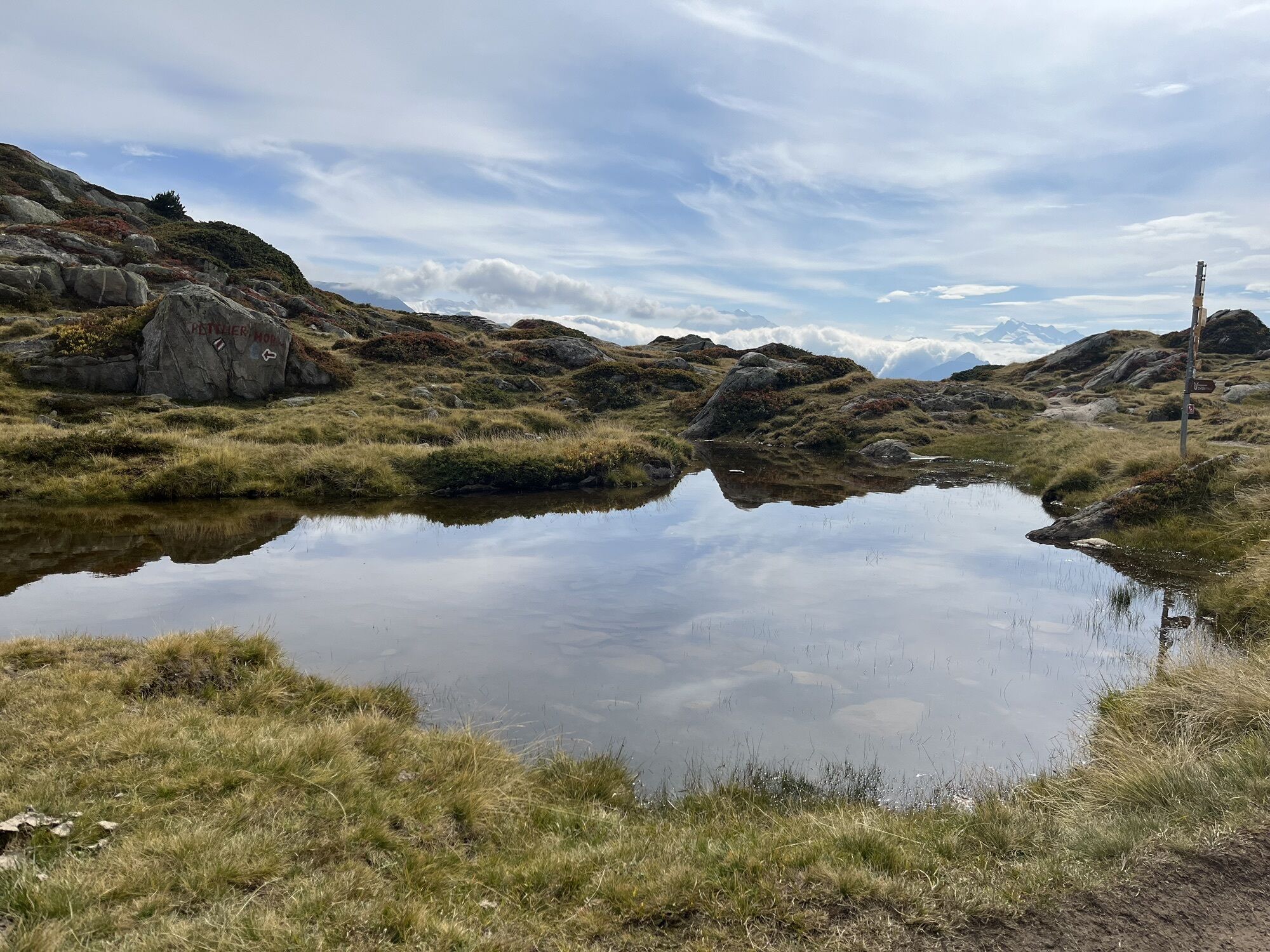
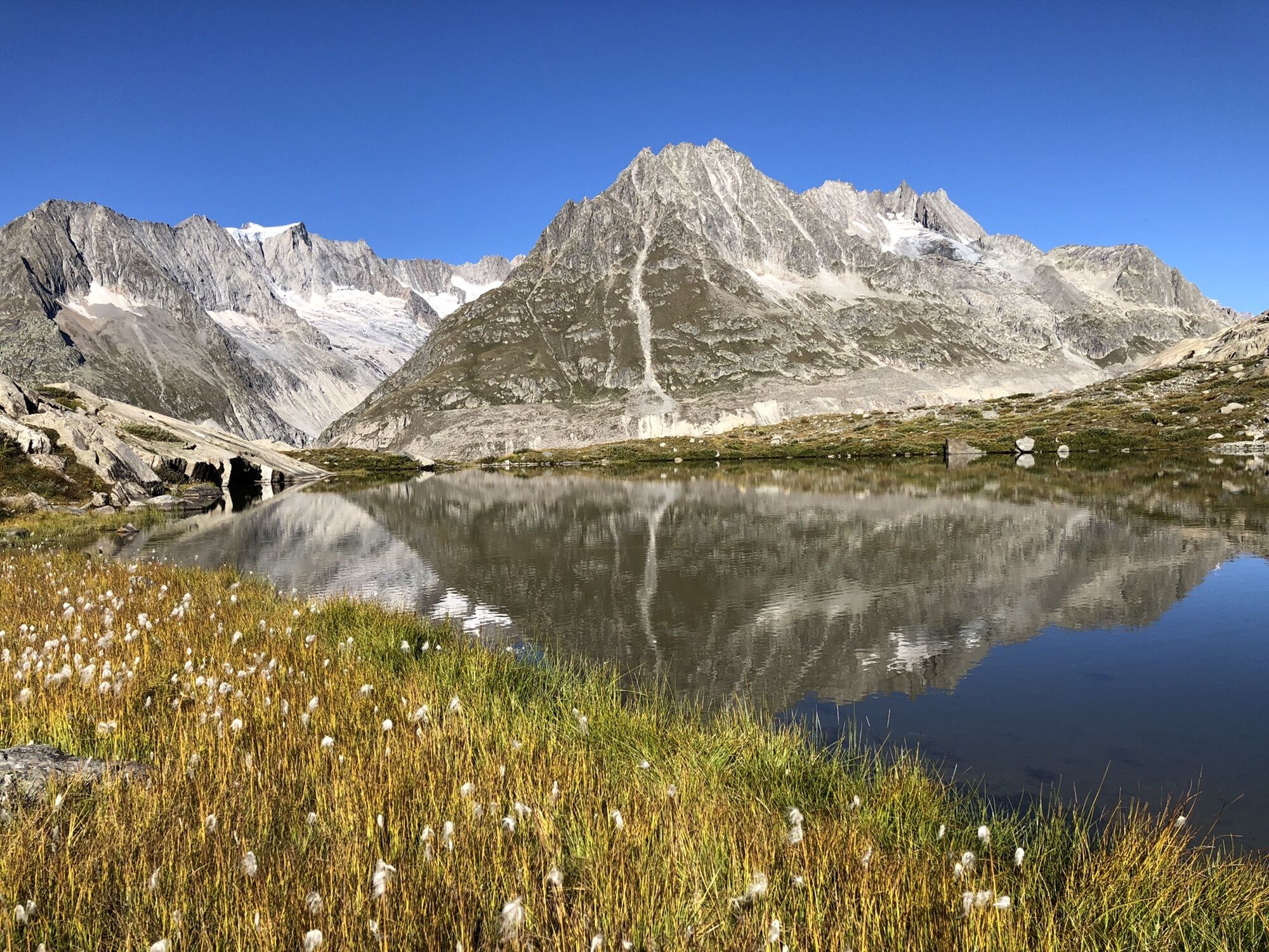
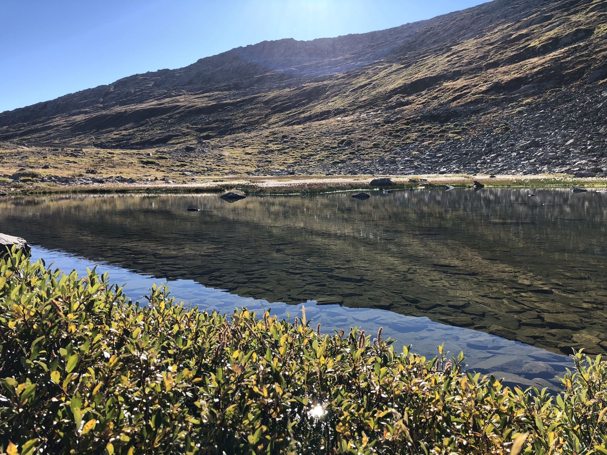
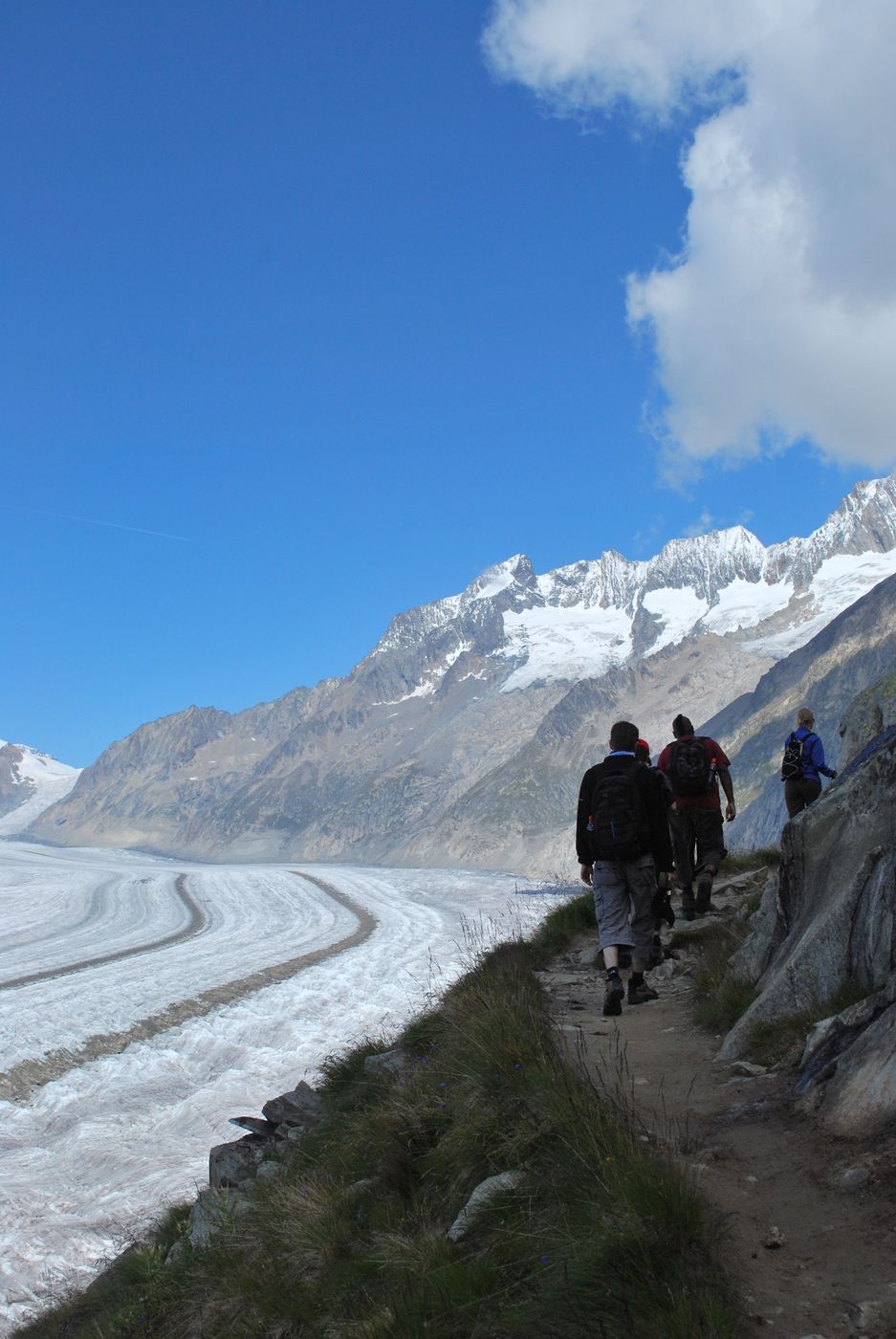
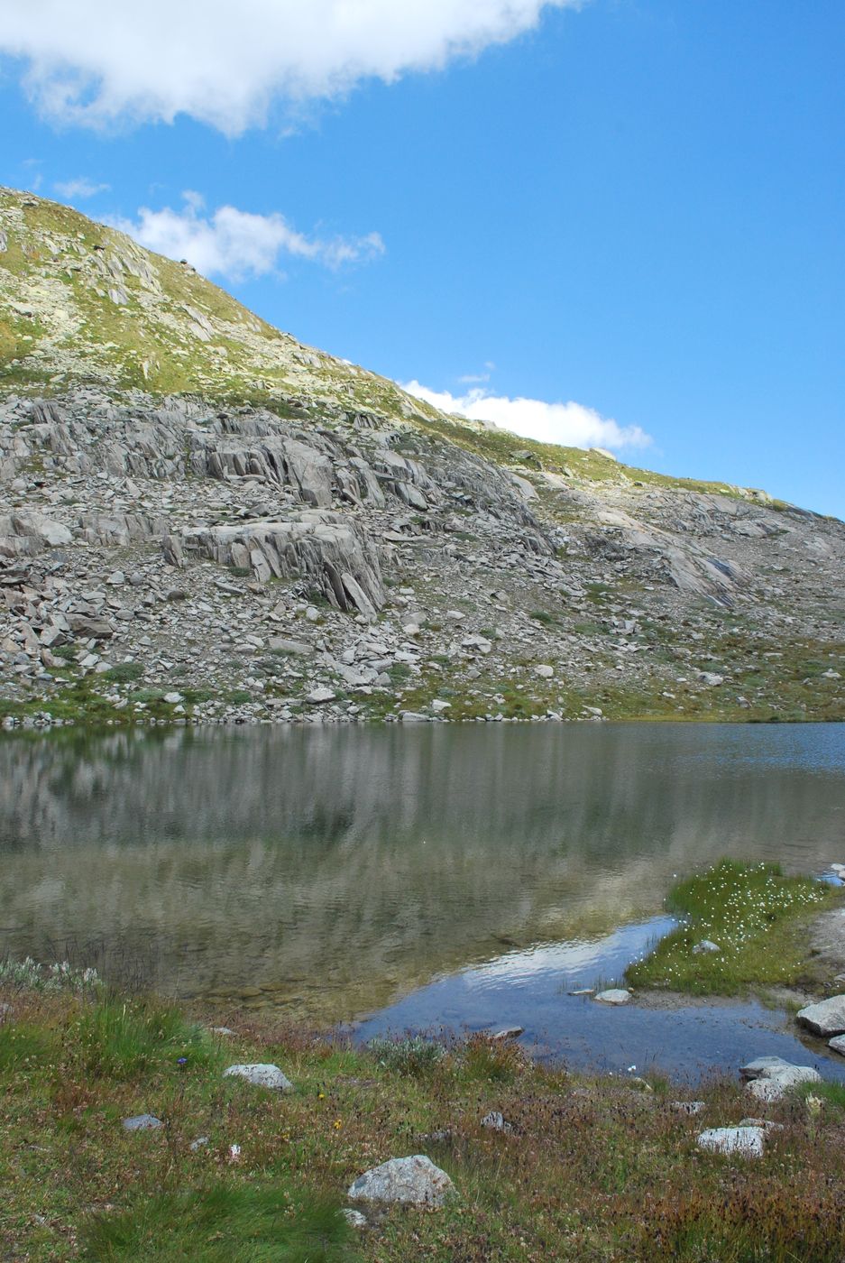
Wir haben von der Bettmeralp gestartet und nach einem ersten Teil abwärts, verlief die Wanderung auf der gleichen Höhe. Das Gletscherpanorama und die viele Seen die man auf dem Weg findet sind sehr schön. Auf der ganzen Strecke ist kein Baum zu finden (ein guter Sonnenschutz ist empfehlenswert!).


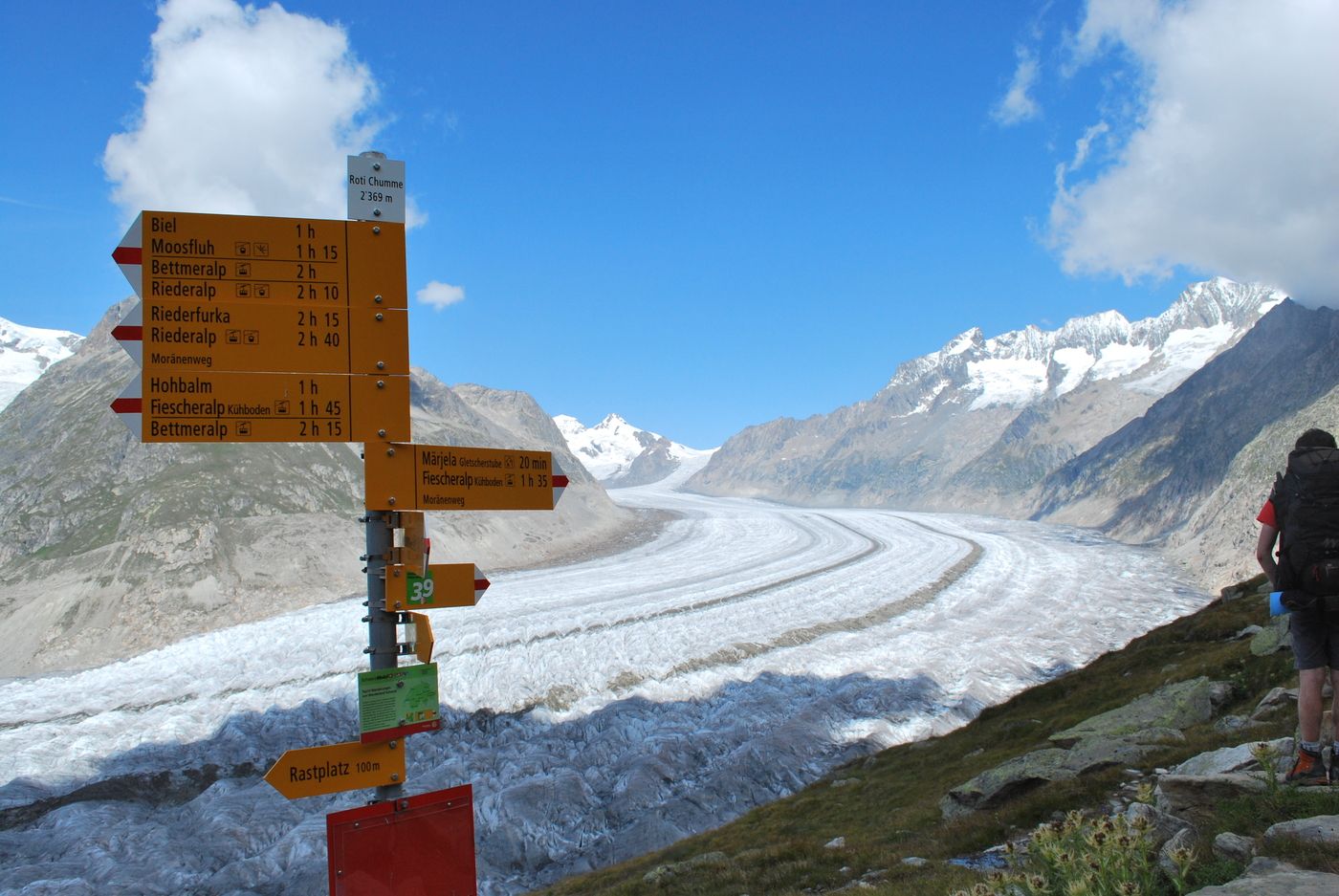

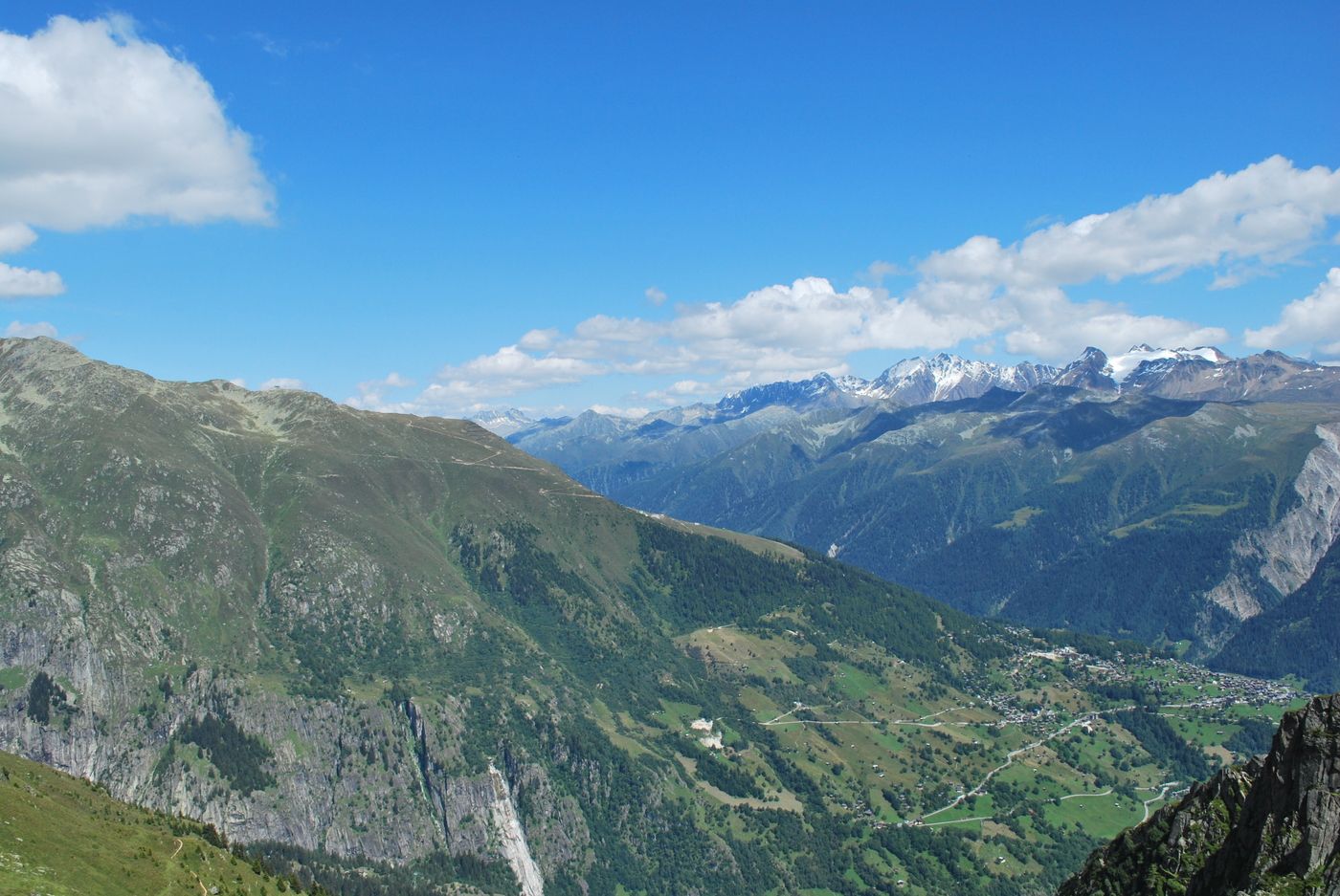
Mit der Gondelbahn Bettmeralp bis zur Bergstation. Dann Richtung Eggishorn und Blausee.
Webcams de la tournée
-
Bettmerhorn Aletsch Gebiet
-
Bettmerhorn
-
Bergstation Wurzenbord
-
Bellwald Tourismus
-
Eggishorn
-
Eggishorn
-
Eggishorn
-
Eggishorn
-
Eggishorn
-
Eggishorn
-
Eggishorn
-
Bergstation Wurzenbord
-
Bergstation Wurzenbord
-
Bergstation Wurzenbord
-
Bergstation Wurzenbord
-
Bergstation Wurzenbord
-
Fiesch
-
Moosfluh Bergstation
-
Moosfluh Bergstation
-
Moosfluh Bergstation
-
Moosfluh Bergstation
-
Moosfluh Bergstation
-
Moosfluh Bergstation
-
Golfclub Riederalp
-
Bellwald Furggulti
-
Bellwald Talstation
-
Bellwald Mittelstation Fleschen
-
Fiescheralp - Kühboden
Parcours populaires à proximité
-
UNESCO Höhenweg
Randonnée 3,70 km -
RANDO CIRCULAIRE MASSEGGA PONT SUSPENDU
facileRandonnée 6,44 km -
4,0
Parcours via ferrata Eggishorn
moyenVia ferrata 1,39 km -
5,0
Aletsch Sightseeing
moyenRandonnées d'hiver 15,5 km -
4,0
SENTIER CIRCULAIRE DE NATICHERBERG
moyenRandonnée 12,1 km -
4,5
Randonnée au Gletscherblick à Bellwald
moyenRandonnée 8,86 km -
4,0
Höhenwanderung Rosswald
facileRandonnée 6 km -
Cabane Hollandia SAC
difficileRandonnée d'altitude 10,2 km -
4,0
Randonnée cabane Galmihorn - « tout autour joli »
moyenRandonnée 14,2 km -
Villa Cassel - Hohfluh - Blausee - Moosfluh - Moränenweg - Villa Cassel
moyenRandonnée 8,49 km

Randonnée et suivi


Ne manquez pas les offres et l'inspiration pour vos prochaines vacances
Votre adresse électronique a été ajouté à la liste de diffusion.