Cim del montgó
moyen
Télécharge cette visite sur ton portable
Cim del montgó
moyen
Randonnée
7,11
km
Scanner le code QR et commencer la navigation dans l'application bergfex


Randonnée & tracking



Cim del montgó
moyen
Distance
7,11
km
Durée
02:53
h
Ascension
503
m
Altitude
213 -
742
m
Téléchargement de la piste
Cim del montgó
moyen
Randonnée
7,11
km
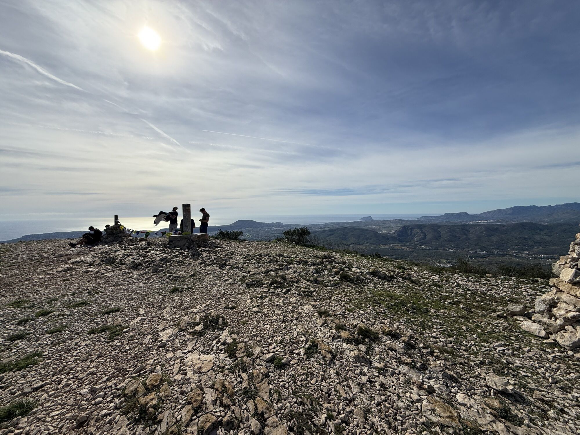
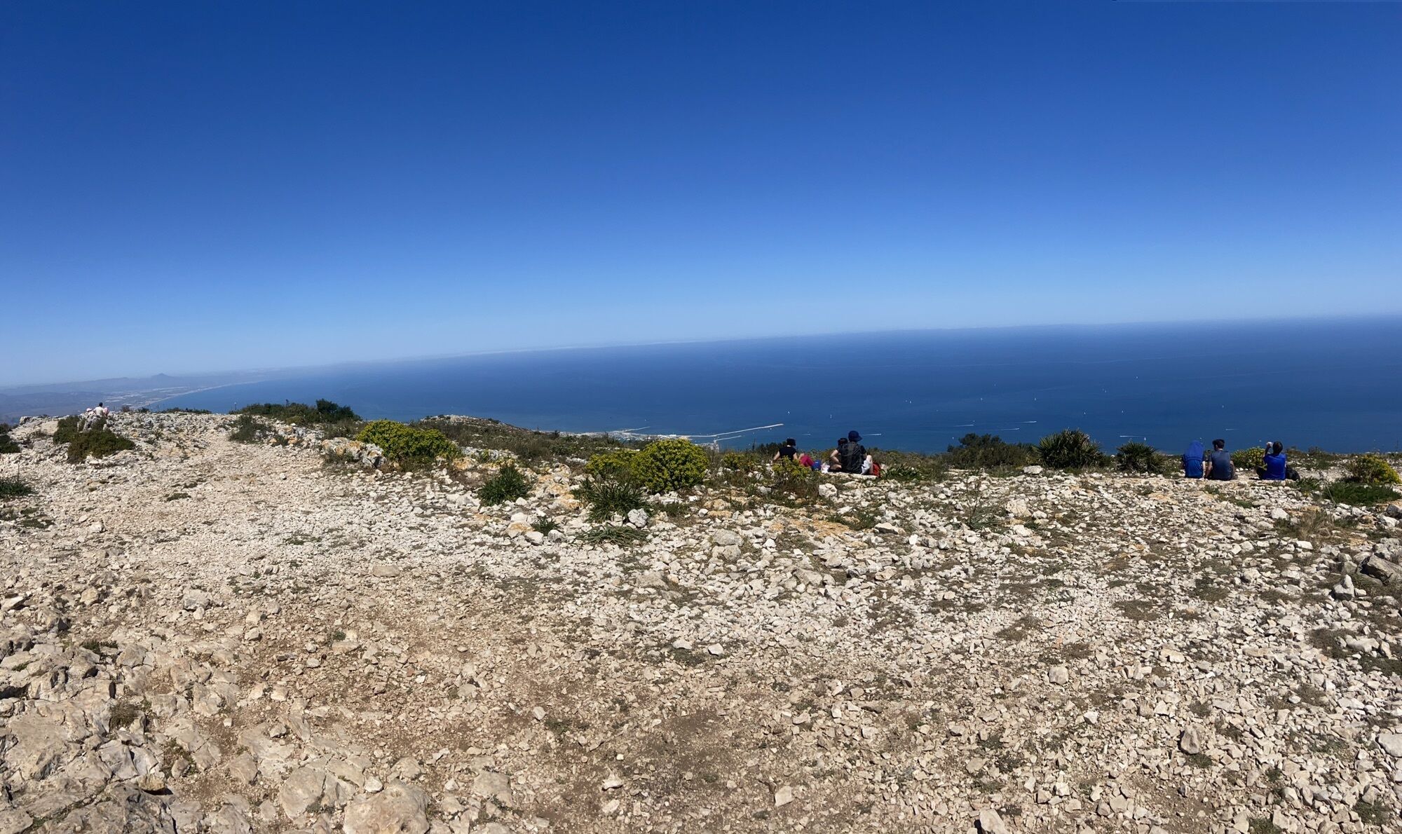
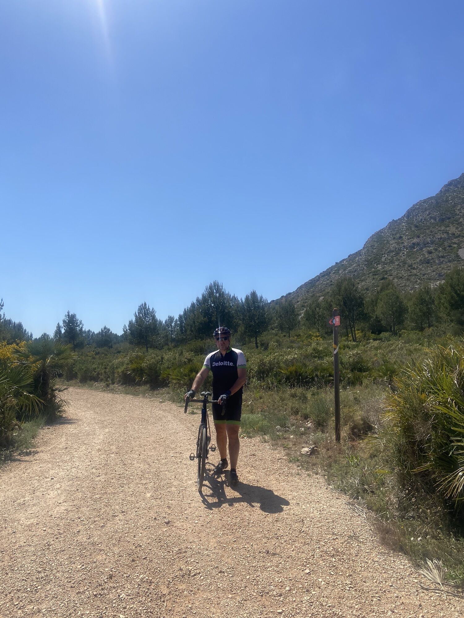
In the beginning easy walk with slalom, loose rocks sometimes. At the end (last 100m highs) you have to climb more as the route is more rocky.
Parcours

Dernier suivi
il y a 3 semaines

Informations sur l'itinéraire
Parcours
Follow the white with yellow lines or the cim del montgó pointers
Équipement
None, good shoes with hard sole.
Informations sur l'itinéraire
Itinéraire
Top of montgó, no restaurant
Transports en commun
/
Parking
Best on parking of Campo del Tiro denia (not campo del tiro javea)
Infos complémentaires & conseils
Conseils
Bring enough water, if you want with electrolytes, bring some food bars with you.
Évaluations

Parcours populaires à proximité
-
Xabia-les Planes Rundweg
facileRandonnée 5,95 km -
Radtour, Rückweg an der alten Olive vorbei
moyenVTT 29,7 km -
5,0
Xàbia / Jávea - Restaurante Sur - La Bandideta - Rosita
moyenRandonnée 11,0 km -
Hike Dénia (Montgó), Spain
facileRandonnée 18,8 km -
4,0
Ca Nano - Cova de l'Aiguadolç - Els Castellets - El Quinto Pino
moyenRandonnée 5,29 km -
5,0
Xàbia / Jávea - Cap Gros del Montgó - la Creueta de Dénia - Dénia
moyenRandonnée 9,65 km -
5,0
Xàbia / Jávea - Cap Gros del Montgó - la Creueta de Dénia - Penya de l'Àguila
difficileRandonnée 18,3 km -
Xàbia / Jávea - Cap Gros del Montgó - les Planes
moyenRandonnée 12,4 km -
Ca Nano - Cova de l'Aiguadolç - Els Castellets - Xàbia / Jávea
moyenRandonnée 3,42 km -
Mirador les Rotes - Els Castellets - Xàbia / Jávea - Dénia
moyenRandonnée 12,8 km

Randonnée et suivi

Plus de 550.000 propositions de circuits, des cartes détaillées et un planificateur d'itinéraire intuitif font de cette application un must pour tous les passionnés de nature.

Ne manquez pas les offres et l'inspiration pour vos prochaines vacances
S'inscrire à la newsletter
Erreur
Une erreur s'est produite. Veuillez réessayer.
Merci pour votre inscription
Votre adresse électronique a été ajouté à la liste de diffusion.
Parcours en Europe
Autriche
Suisse
Allemagne
Italie
Slovénie
France
Pays-Bas
Belgique
Pologne
Liechtenstein
République tchèque
Slovaquie
Espagne
Croatie
Bosnie-Herzégovine
Luxembourg
Andorre
Portugal
Islande
Royaume-Uni
Irlande
Grèce
Albanie
Macédoine du Nord
Malte
Norvège
Monténégro
Moldavie
Kosovo
Hongrie
Saint-Marin
Roumanie
Estonie
Lettonie
Bélarus
Chypre
Lituanie
Serbie
Bulgarie
Monaco
Danemark
Suède
Finlande





