


Winterwanderung Hochfilzen - St. Ulrich am Pillersee
Photos de nos utilisateurs
Start at the village center (opposite the church) and walk along Herrengasse to the hamlet Oberwarming. Go through the underpass, cross the road and follow the winter-walking path on the left side. (next...
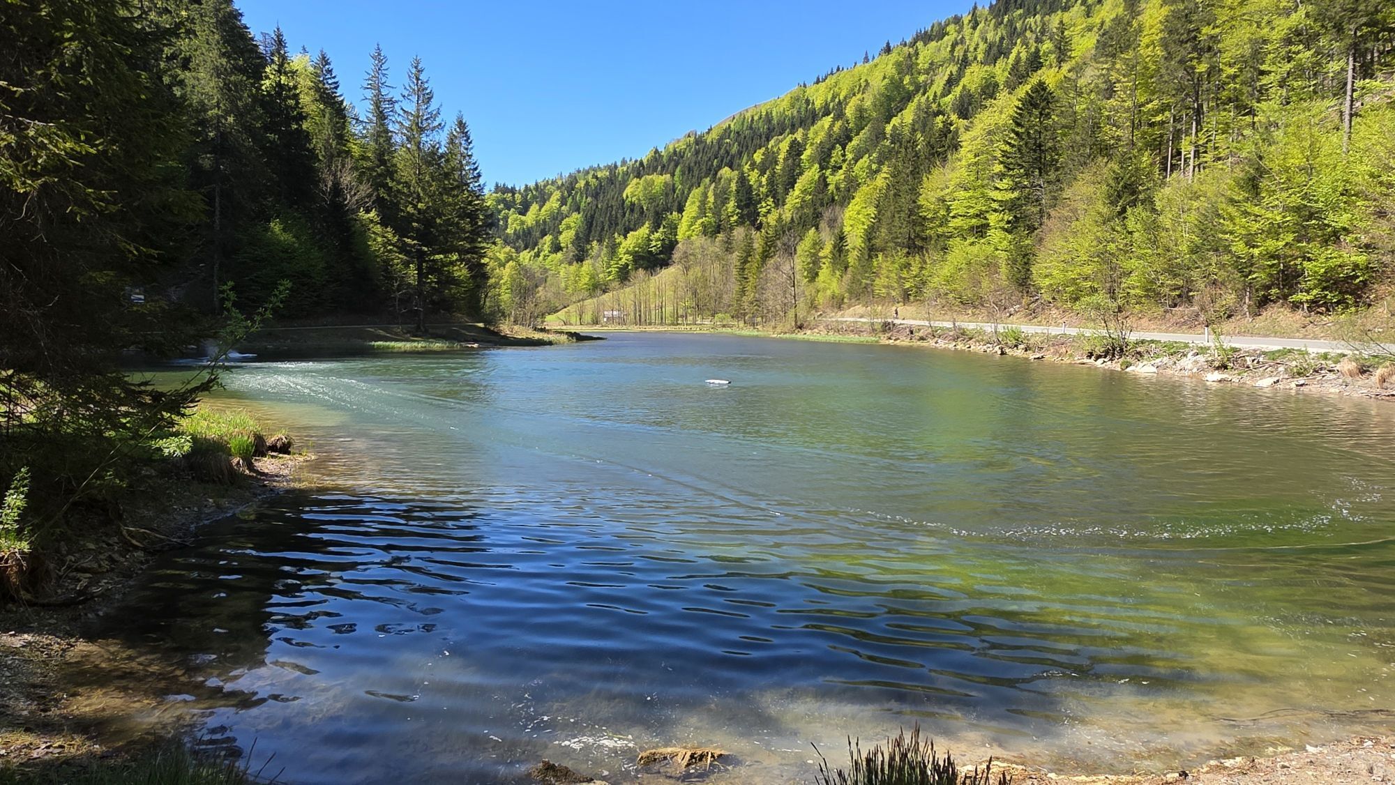
Start at the village center (opposite the church) and walk along Herrengasse to the hamlet Oberwarming. Go through the underpass, cross the road and follow the winter-walking path on the left side. (next to the cross country skiing track) and pass the inn/restaurant Wiesenseehof. Follow the road straight on an reach the pittoresque lake Wiesensee on your right hand side. The winter walking tour leads you through the hamlets of Schwendt and Rossau to the inn / restaurant Strasserwirt or further on to the center of St. Ulrich am Pillersee.
From the hotel Strasserwirt or the center of St. Ulrich a.P. you can take the skibus back to Hochfilzen.


From the hotel Strasserwirt or the center of St. Ulrich a.P. you can take the skibus back to Hochfilzen.
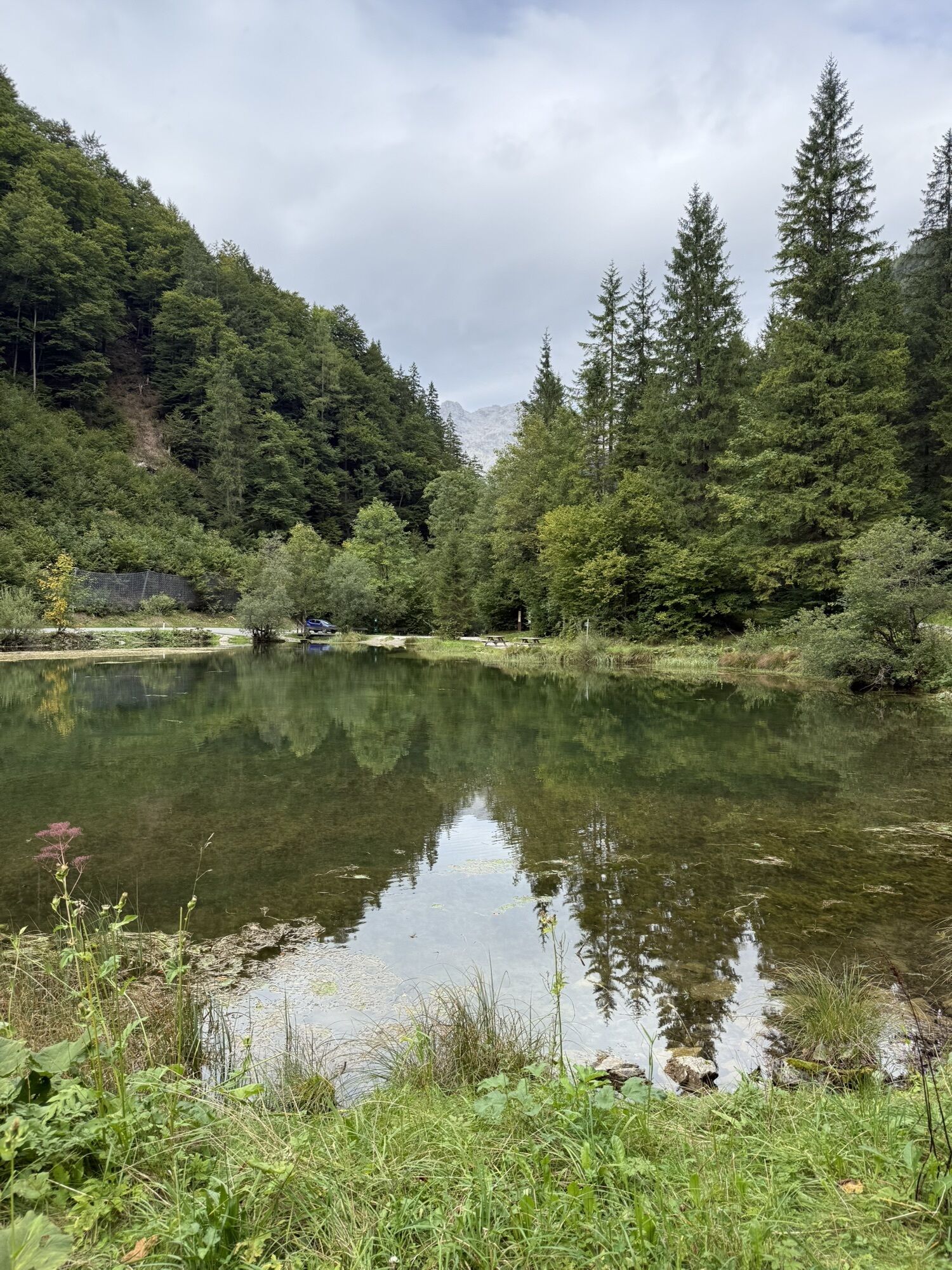
Wiesenseehof or Strasserwirt
Hiking map are available in all tourist office of the PillerseeTal
free skibus to the busstop Hochfilzen Gemeindeamt
Centre of Hochfilzen
Parcours populaires à proximité
-
4,2
Erpfendorf: Griesbachklamm
moyenRandonnée 10 km -
4,1
Passauer Hütte
difficileRandonnée 4,14 km -
4,7
St. Johann in Tirol: Wasserfall & 3 Seen am Kitzbüheler Horn
moyenRandonnée 12,7 km -
4,5
Birnbachloch Leogang, Österreich
moyenRandonnée 5,18 km -
4,8
Loferer Steinberge, zum Hinterhorn über die Schmid-Zabierow Hütte, 19.06.22
difficileRandonnée 14,0 km -
4,7
Par le chemin des cascades dans l’Almenwelt Lofer
moyenRandonnée 3,29 km -
4,6
Lettlkaser
moyenRandonnée 4,40 km -
4,5
Seisenbergklamm
facileRandonnée 2,41 km -
5,0
Le parcours de jeux de Leo
facileChemin thématique 4,89 km -
4,0
Montagne des sens
facileRandonnée 4,39 km
Randonnée et suivi


Ne manquez pas les offres et l'inspiration pour vos prochaines vacances
Votre adresse électronique a été ajouté à la liste de diffusion.