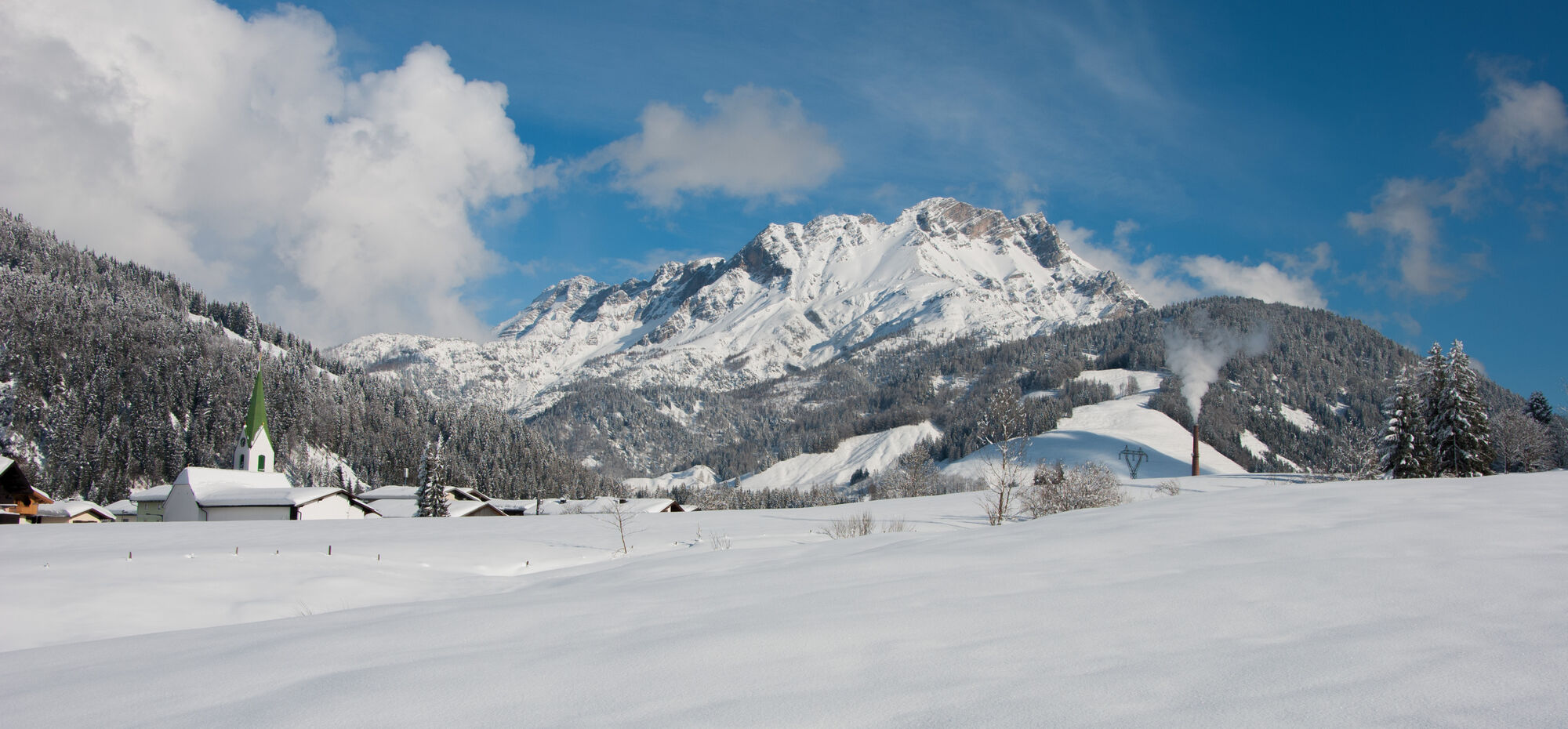
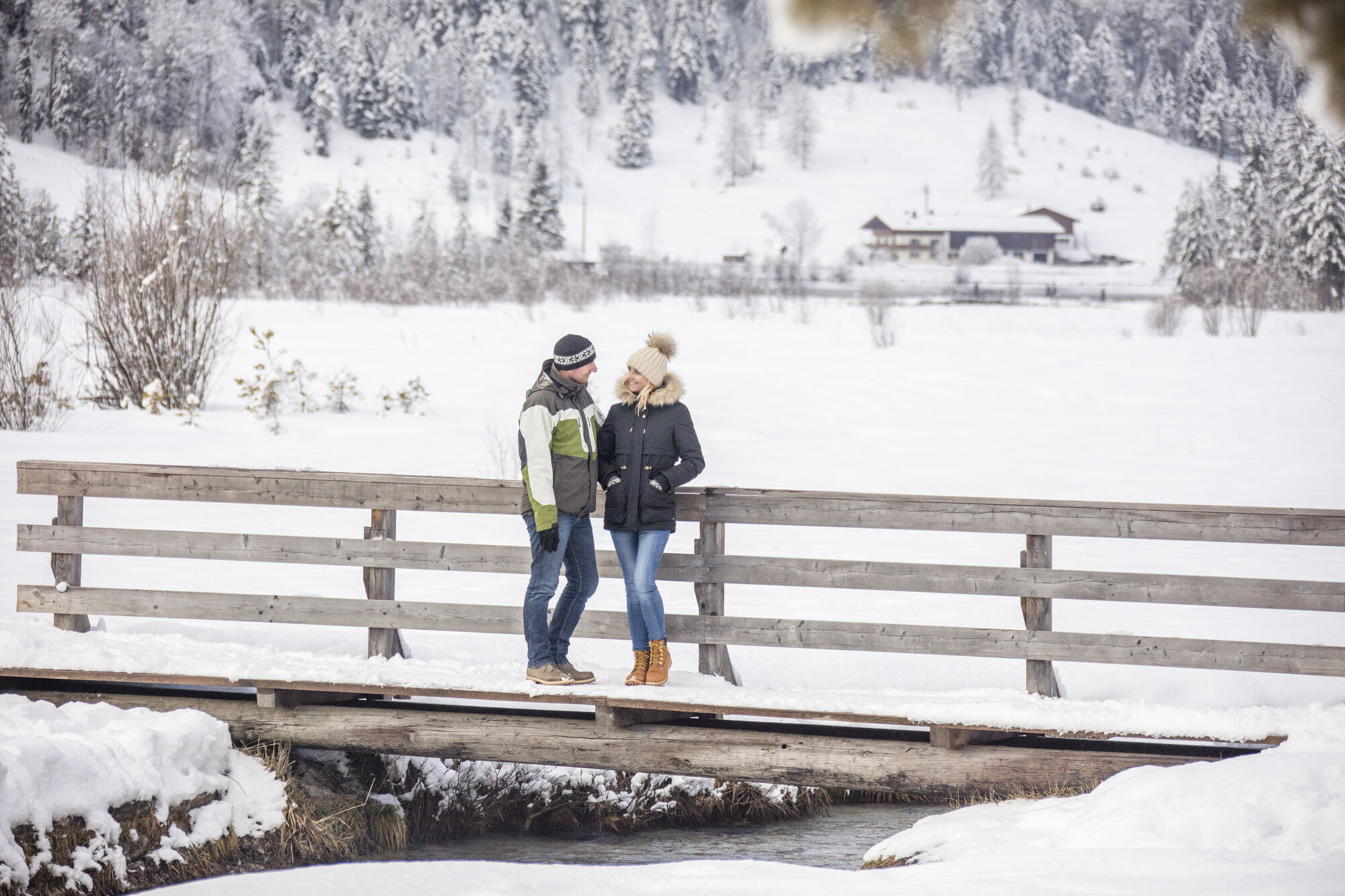
Winterwanderung Hochfilzen - St. Ulrich am Pillersee

Randonnée d'hiver

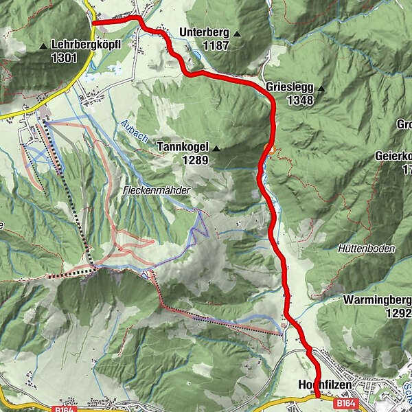
© Petra Astner

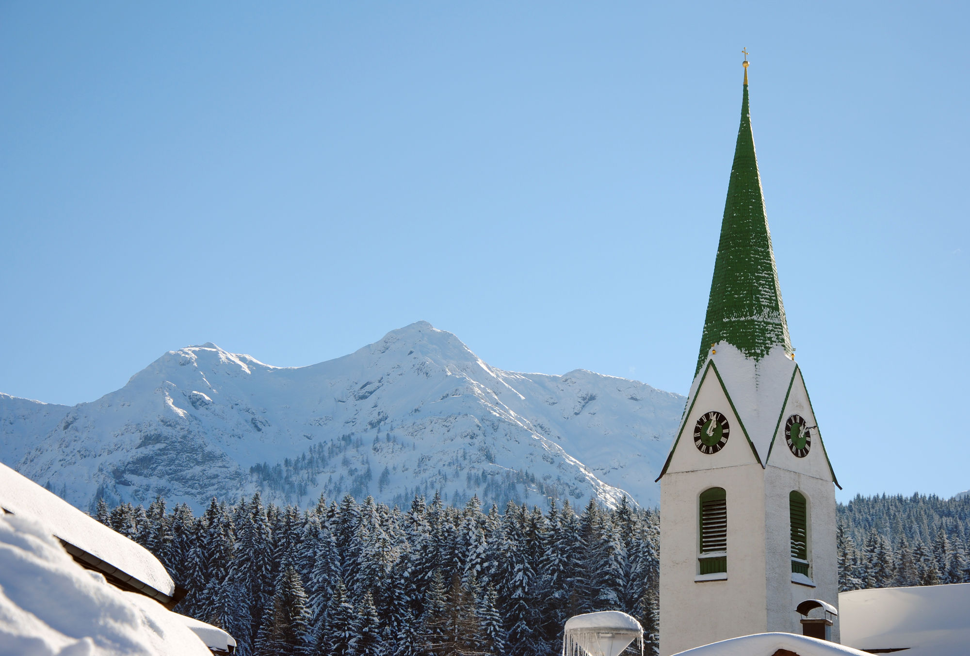
© Petra Astner


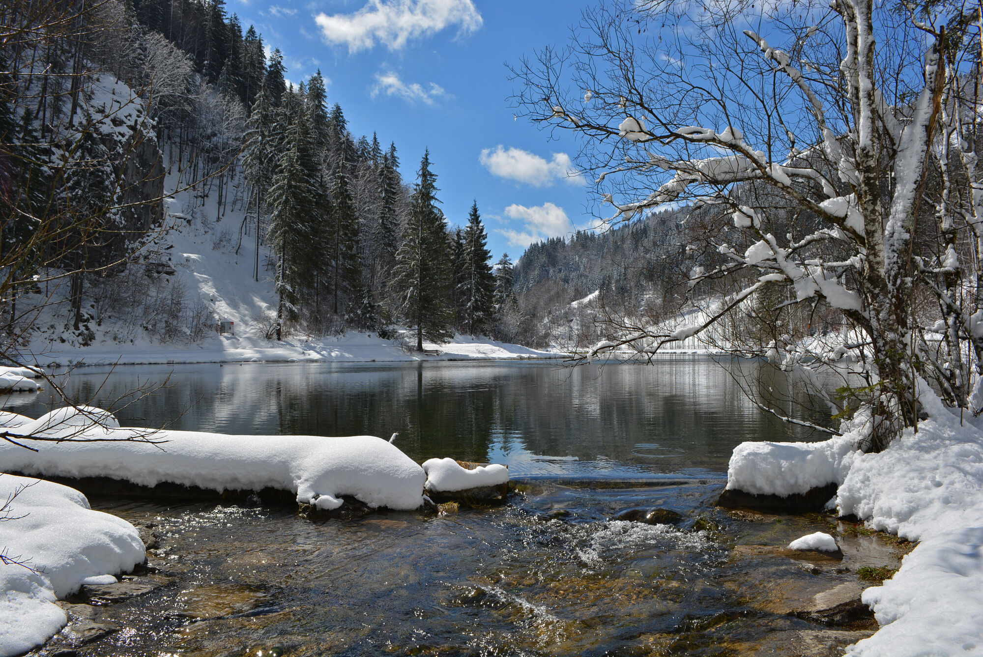
© Defrancesco
Dates des itinéraires
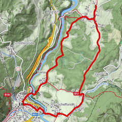
6,76km
859
- 962m
10hm
85hm
02:00h
- Difficulté
-
facile
- Évaluation
-
- Point de départ
-
Centre of Hochfilzen
- Parcours
-
Pfarrkirche Maria SchneeHochfilzen0,0 kmTour Rast0,9 kmHerz-Jesu-Kapelle2,1 kmGasthof Wiesenseehof2,1 kmSchwendt5,5 kmStrasserwirt6,7 km
- Meilleure saison
-
aoûtsept.oct.nov.déc.janv.févr.marsavrilmaijuinjuil.
- Hauteur maximale
- 962 m
- Point de mire
-
Hotel Strasserwirt in St. Ulrich am Pillersee
- Repos/Rassembler
-
Wiesenseehof or Strasserwirt
- Cartes
-
Hiking map are available in all tourist office of the PillerseeTal
- Informations par téléphone
-
0043.5354.56304-10
- Link
- https://maps.pillerseetal.at/v2/de/gdi_summer/2...
- Source
- TVB PillerseeTal
GPS Downloads


Autres parcours dans les régions
-
Pillerseetal
184
-
Hochfilzen
64