



Winterwanderung St. Jakob i.H. - Bergbahn Pillersee

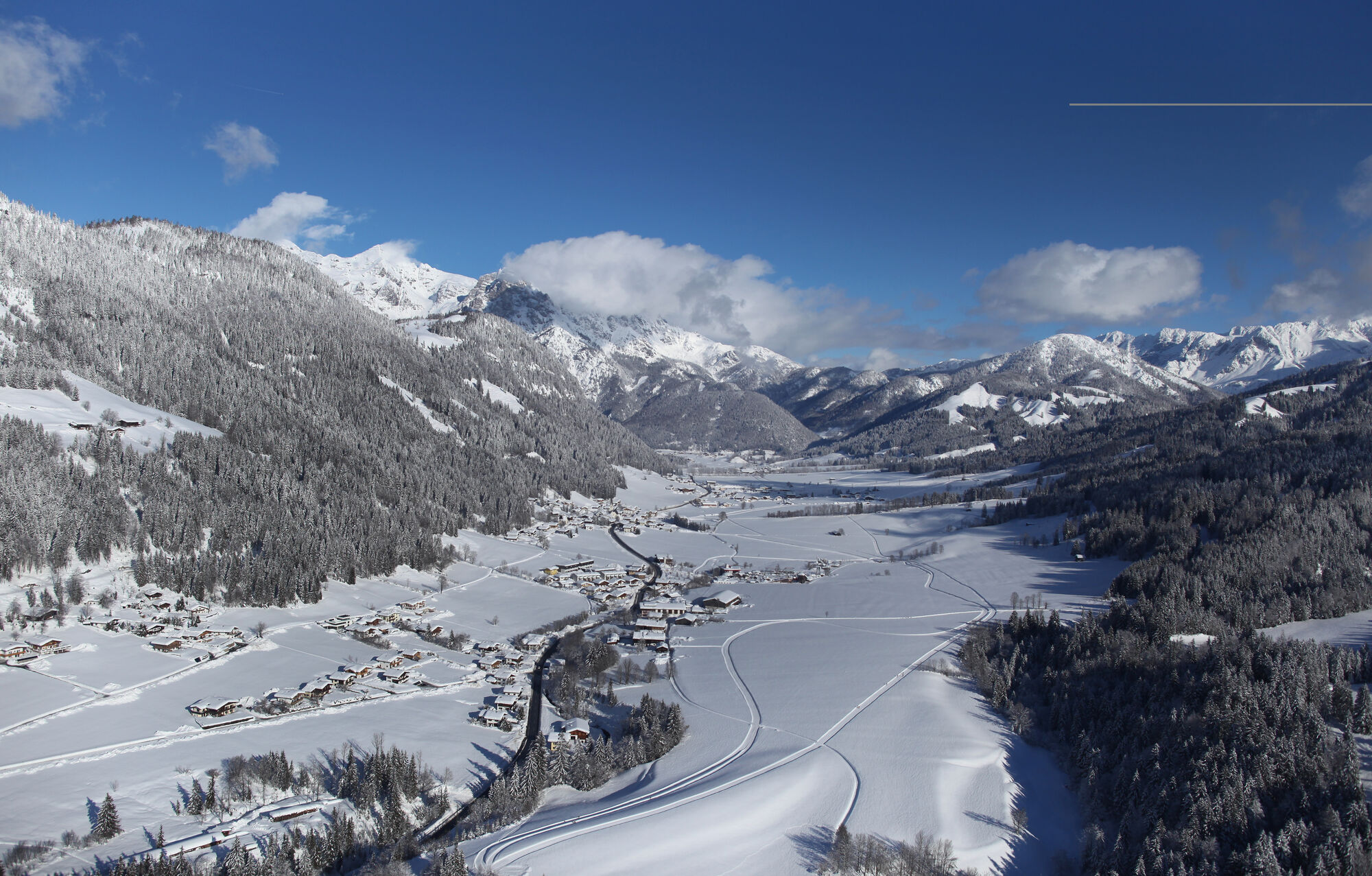
Starting from the parking area in the front of the tourist office / municipal office you can turn left and walk to the guest-house "Elisabeth". There you turn right and walk to the building of the recycling...
Starting from the parking area in the front of the tourist office / municipal office you can turn left and walk to the guest-house "Elisabeth". There you turn right and walk to the building of the recycling yard. There you turn left, pass the "Reith" hamlet and walk along "Hotel Alpenhof Kitzspitz" towards the skilift Buchensteinwand/Pillersee. There you have connections to St. Ulrich am Pillersee and Hochfilzen.


Restaurant Bergblick
Hiking map are available in all touristoffice´s of the PillerseeTal
Free skibus to the busstop St. Jakob in Haus Volksschule
Dorfzentrum St. Jakob in Haus
Parcours populaires à proximité
- 4,7
Kirchdorf: Zur geheimnisvollen Teufelsgasse
moyenRandonnée 7,90 km - 4,4
Erpfendorf: Griesbachklamm
moyenRandonnée 10 km - 4,7
Par le chemin des cascades dans l’Almenwelt Lofer
moyenRandonnée 3,29 km - 4,4
Kitzbüheler Horn über Horn-Gipfel-Höhenweg
moyenChemin thématique 5,30 km - 4,8
Loferer Steinberge, zum Hinterhorn über die Schmid-Zabierow Hütte, 19.06.22
difficileRandonnée 14,0 km - 4,2
Passauer Hütte
difficileRandonnée 8,27 km - 4,6
St. Johann in Tirol: Wasserfall & 3 Seen am Kitzbüheler Horn
moyenRandonnée 12,7 km - 4,1
Montagne des sens
facileRandonnée 4,39 km - 4,6
Birnbachloch Leogang, Österreich
moyenRandonnée 5,18 km - 4,5
Birnbachloch
moyenRandonnée 6,35 km
Randonnée et suivi


Ne manquez pas les offres et l'inspiration pour vos prochaines vacances
Votre adresse électronique a été ajouté à la liste de diffusion.


