



Winter hiking trail Birdwatching trail

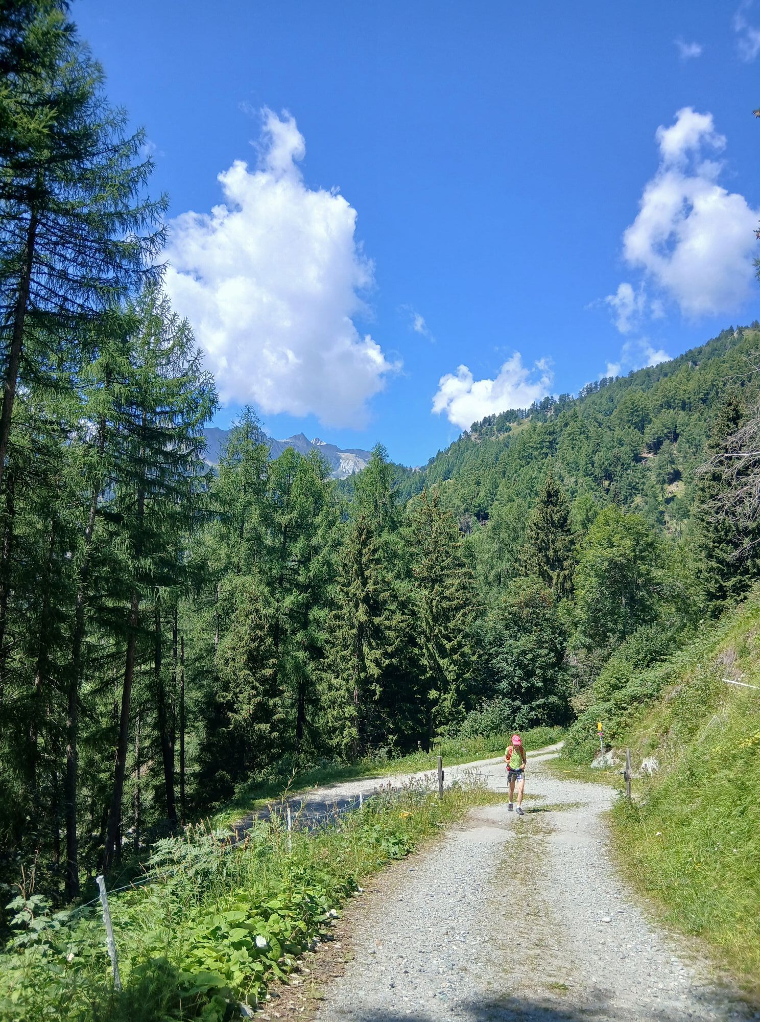
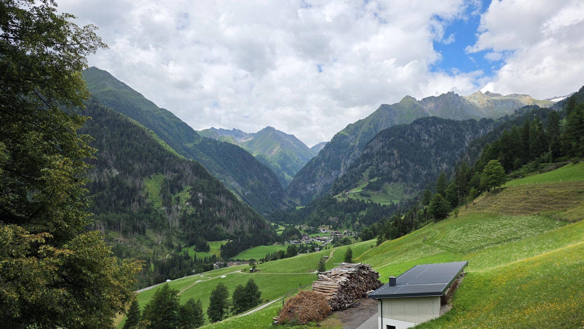
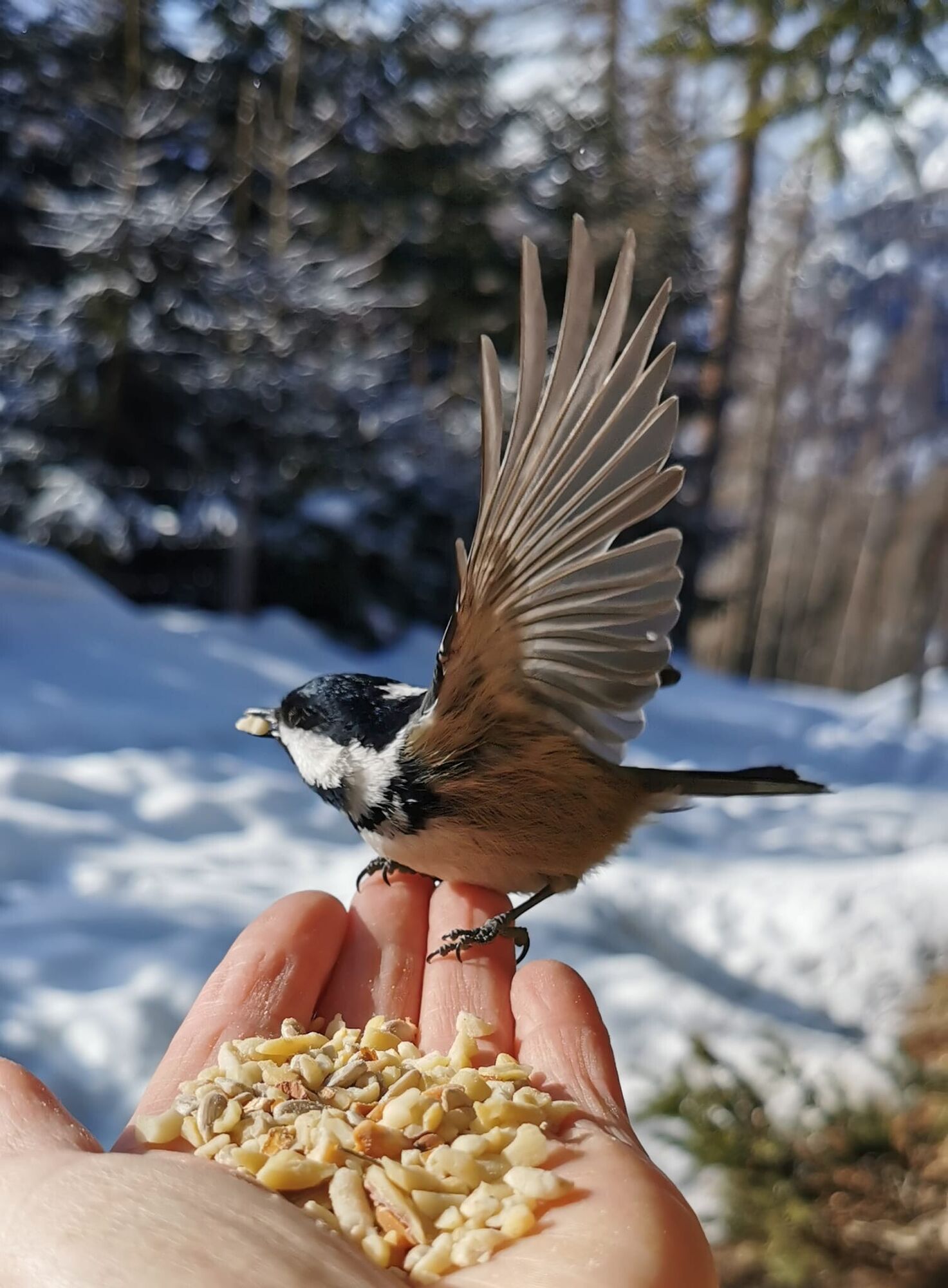
The bird trail lives up to its name – here, the winter silence is filled with cheerful chirping. At lovingly maintained feeding stations, you can experience the birds up close: titmice, nuthatches and...
The bird trail lives up to its name – here, the winter silence is filled with cheerful chirping. At lovingly maintained feeding stations, you can experience the birds up close: titmice, nuthatches and their feathered friends boldly land on your hand and gratefully snack on the seeds provided. Bird feed is available on site – so all you need to do is take a seat, hold out your hand and enjoy the magic of nature.
Informative boards provide fascinating facts about native songbirds and the region's wildlife. The return journey takes you leisurely along the familiar route, and Adi's Treff at the starting point of the hike invites you to warm up.

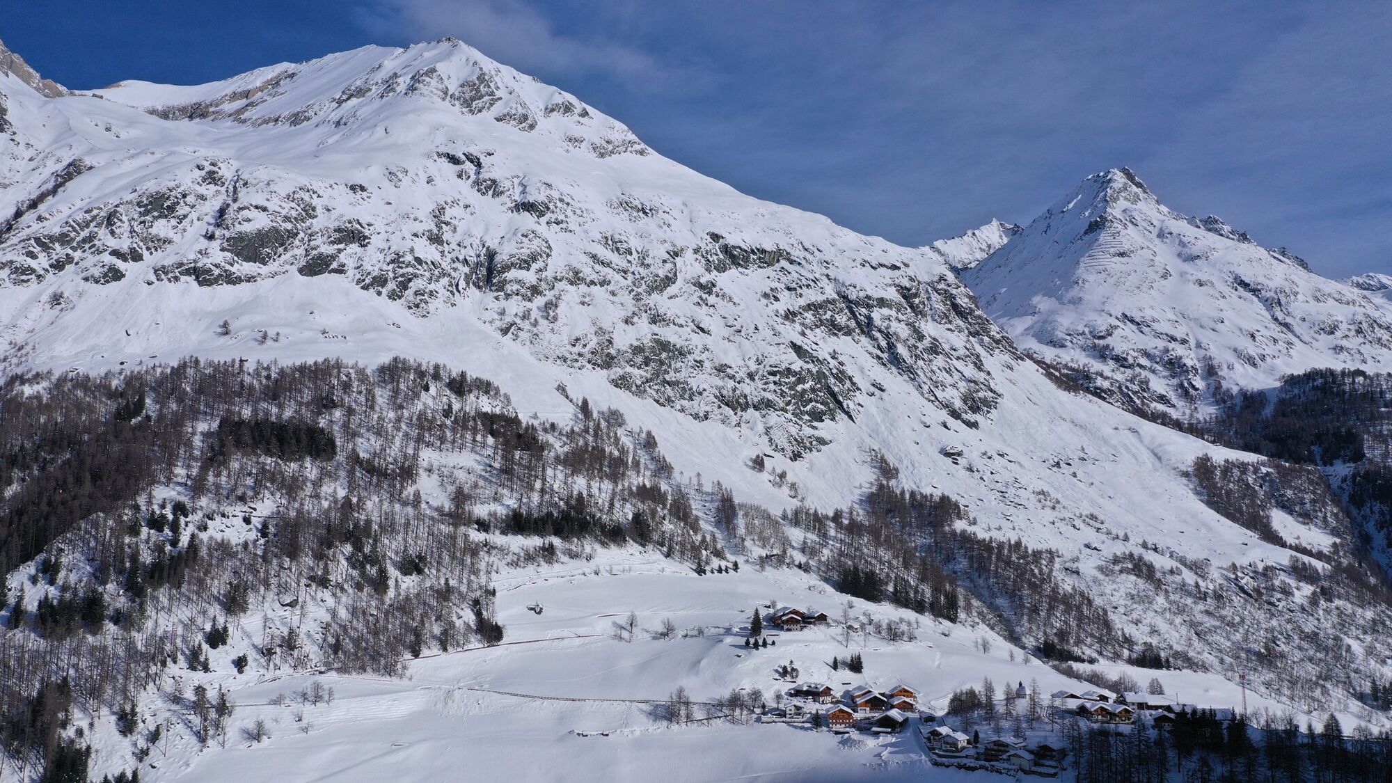

Basic equipment for mountain hiking includes sturdyâ¯hikingâ¯boots with a good tread, a 30-35 liter backpack, and functional clothing based on the layering principle, including sufficient spare clothes. Essential items are rain, cold, and sun protection, adequate fluids and food, as well as a first-aid kit and a charged mobile phone. A map or a GPS device supports orientation.
The information serves as a guideline and does not claim to be exhaustive. Equipment must always be adapted to theâ¯planned route, weather conditions, season, natural hazards, environmental influences, and personal needs.
From the ‘Prägraten a. G. Gemeindeamt’ bus stop, it’s about a 20-minute walk uphill
Car park Bichl 1.480m
Webcams de la tournée

Parcours populaires à proximité
-
4,8
NaturKraftWeg Umbalfälle
facileChemin thématique 5,99 km -
4,2
Gletscherlehrweg Innergschlöß
moyenRandonnée 9,36 km -
4,8
Circular hike suspension bridge Isel Canyon via "Hohe Bank"
moyenRandonnée 8,11 km -
4,5
Circular hike Proßeggklamm
moyenRandonnée 8,41 km -
4,8
Stoden - Clarahütte
moyenRandonnée 7,12 km -
4,7
Vom Matreier Tauernhaus über die Felsenkapelle nach Innergschlöss
facileRandonnée 9,19 km -
4,4
Seespitze
moyenRandonnée 13,7 km -
3,6
Krimmler Tauernhaus - Refuge Warnsdorfer - Gamsspitzl
difficileRandonnée 10,5 km -
5,0
Muhs-Panoramaweg
moyenRandonnée 14,0 km -
4,8
Wiesbauerspitze 2.767 m
moyenRandonnée 9,66 km
Randonnée et suivi


Ne manquez pas les offres et l'inspiration pour vos prochaines vacances
Votre adresse électronique a été ajouté à la liste de diffusion.


