







To the Altkaser Alm via Goglalm
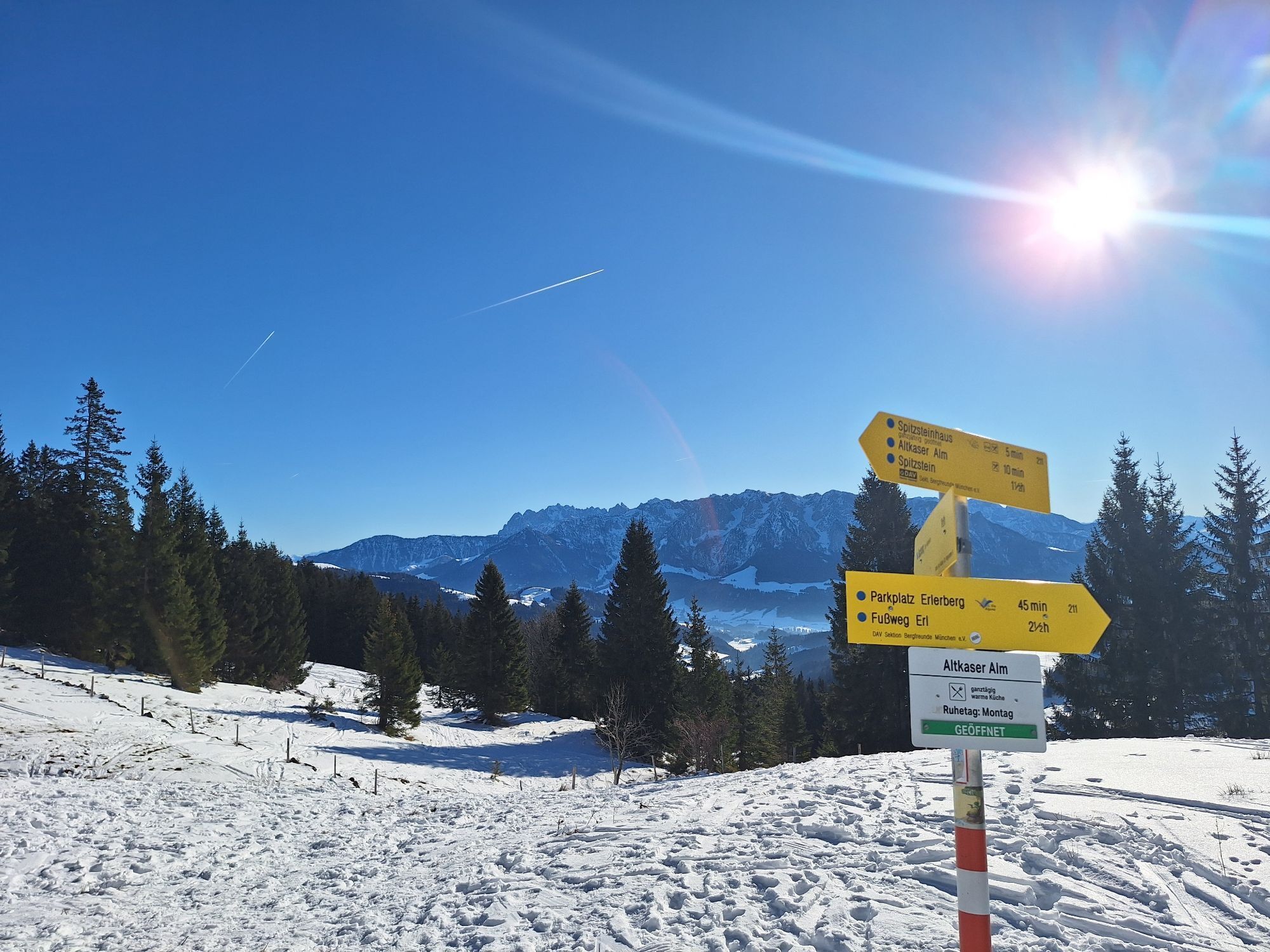
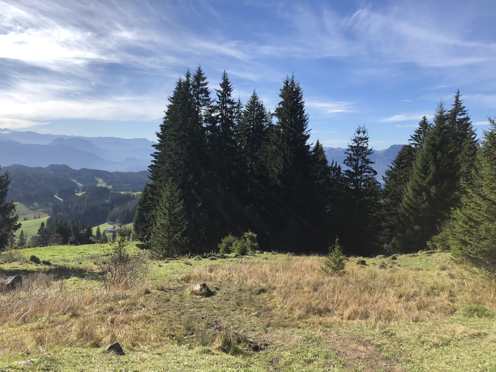
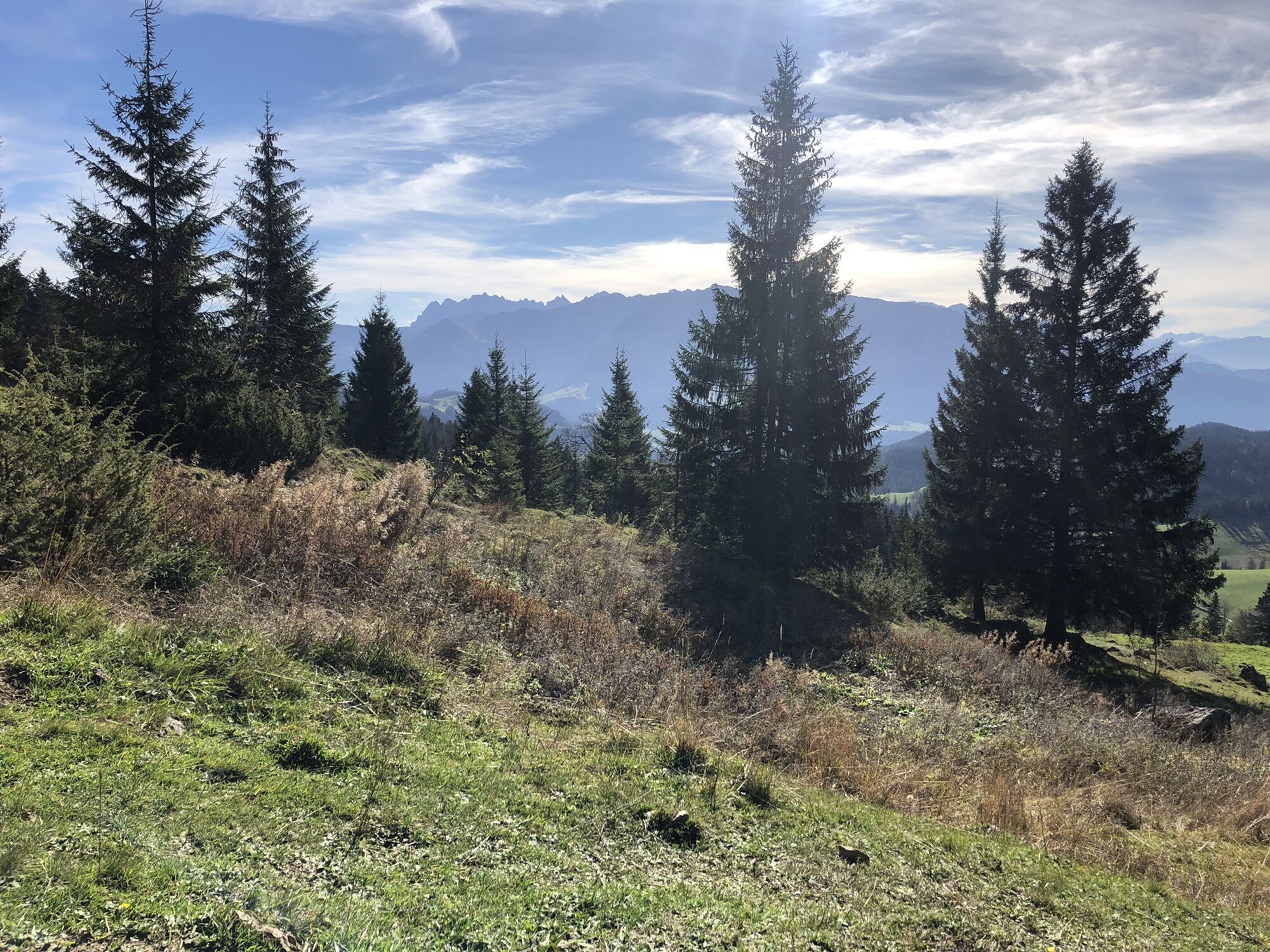
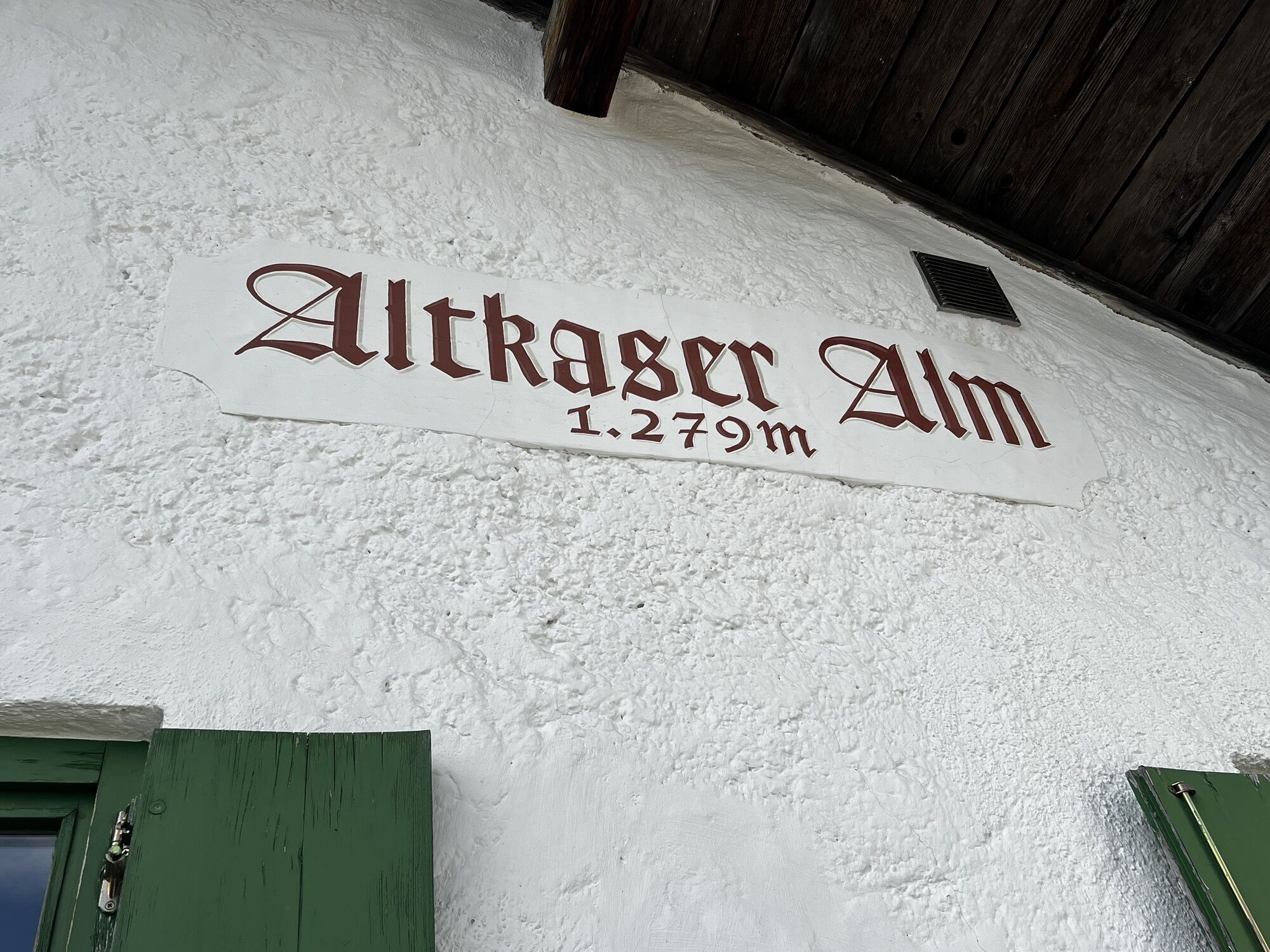
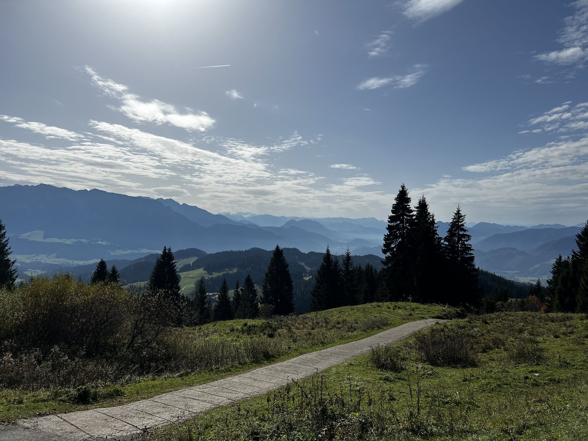
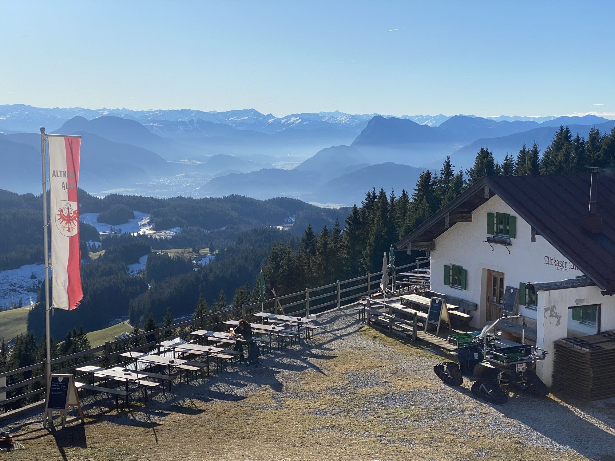
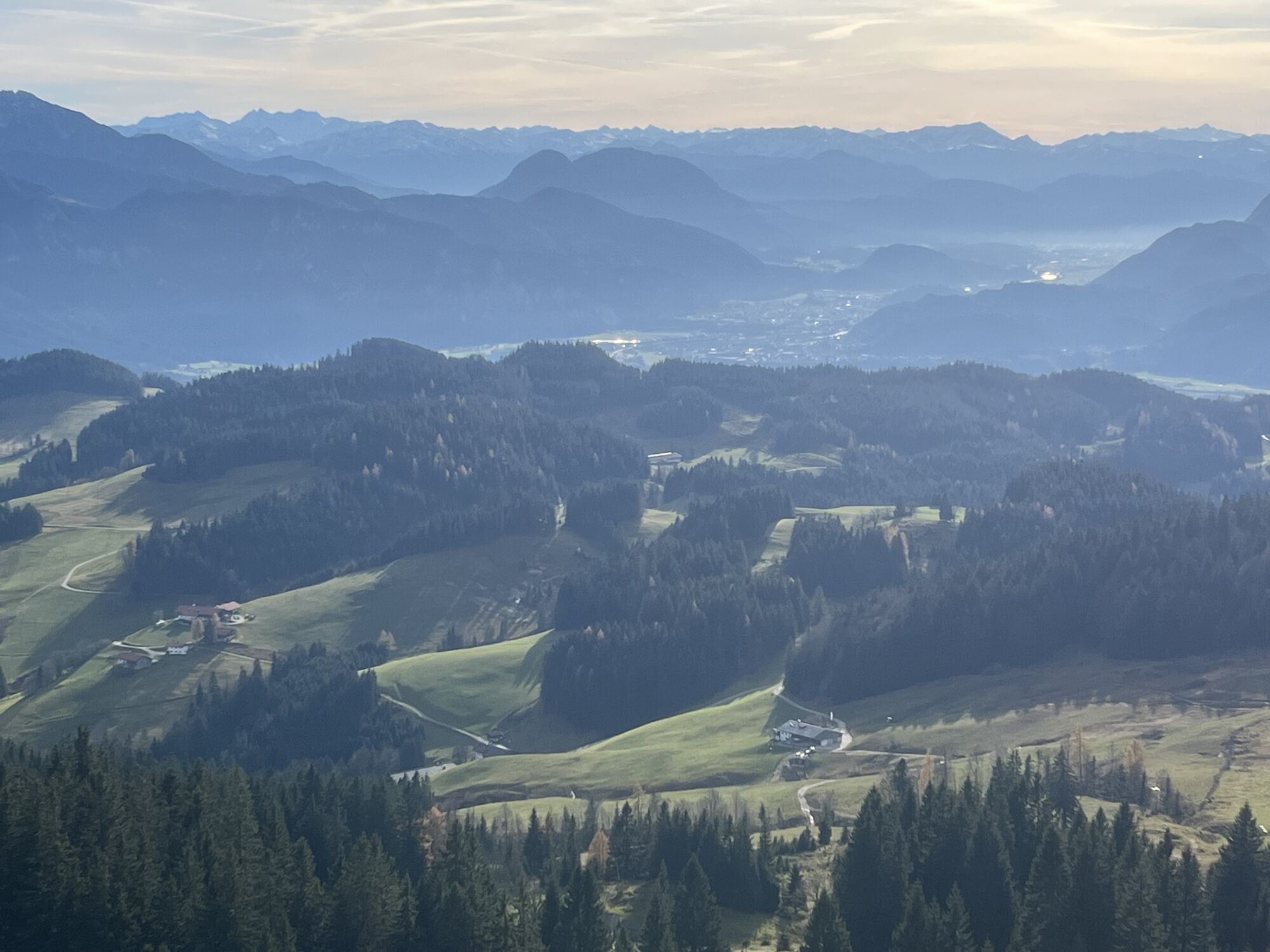
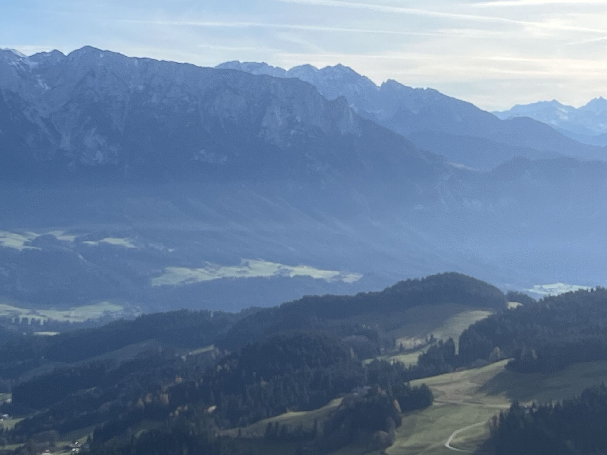
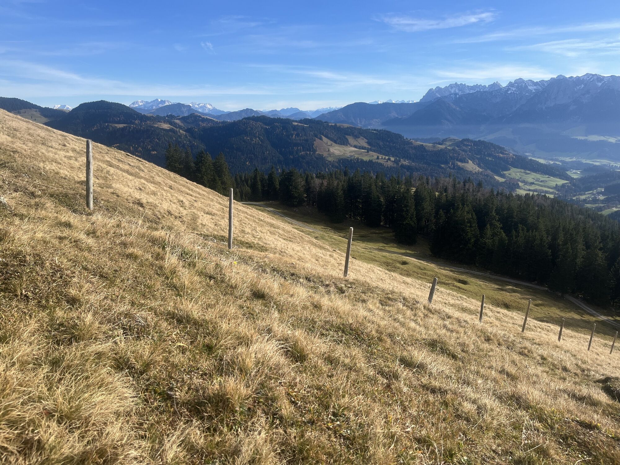
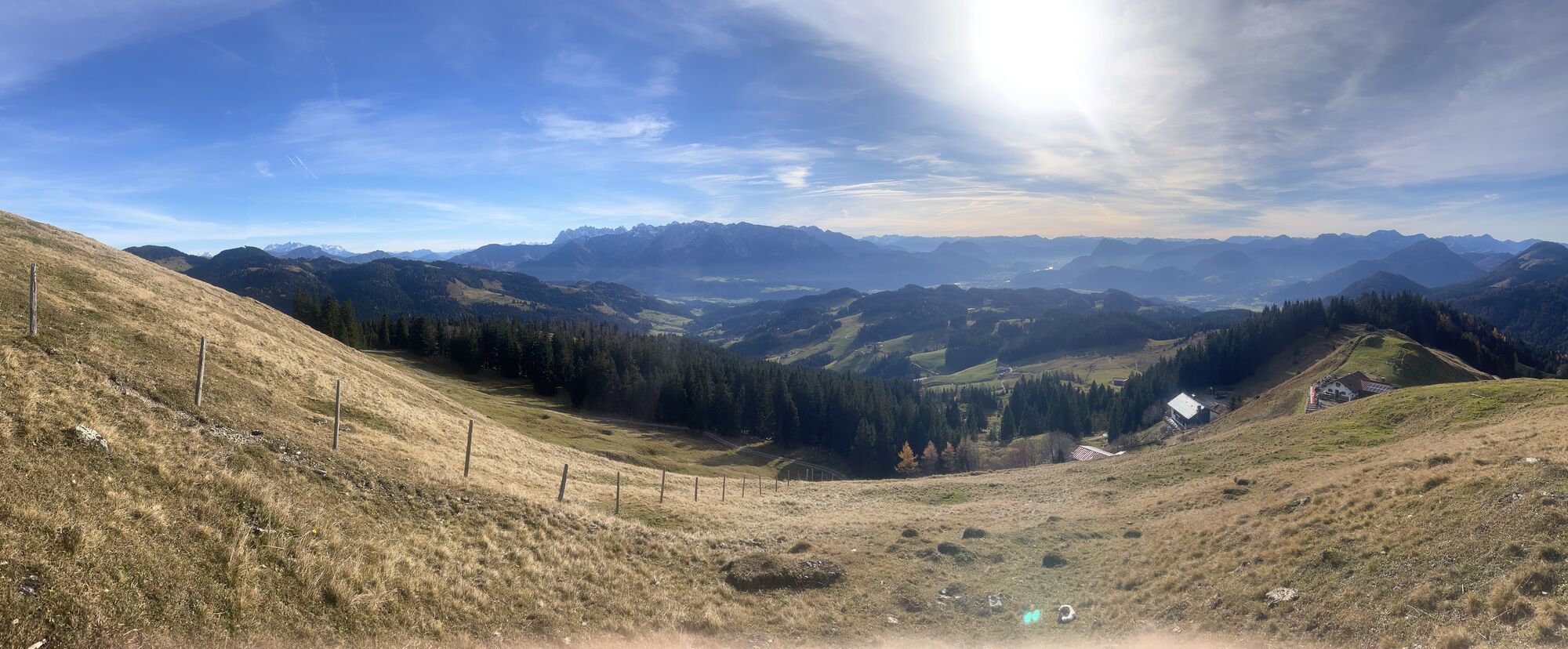
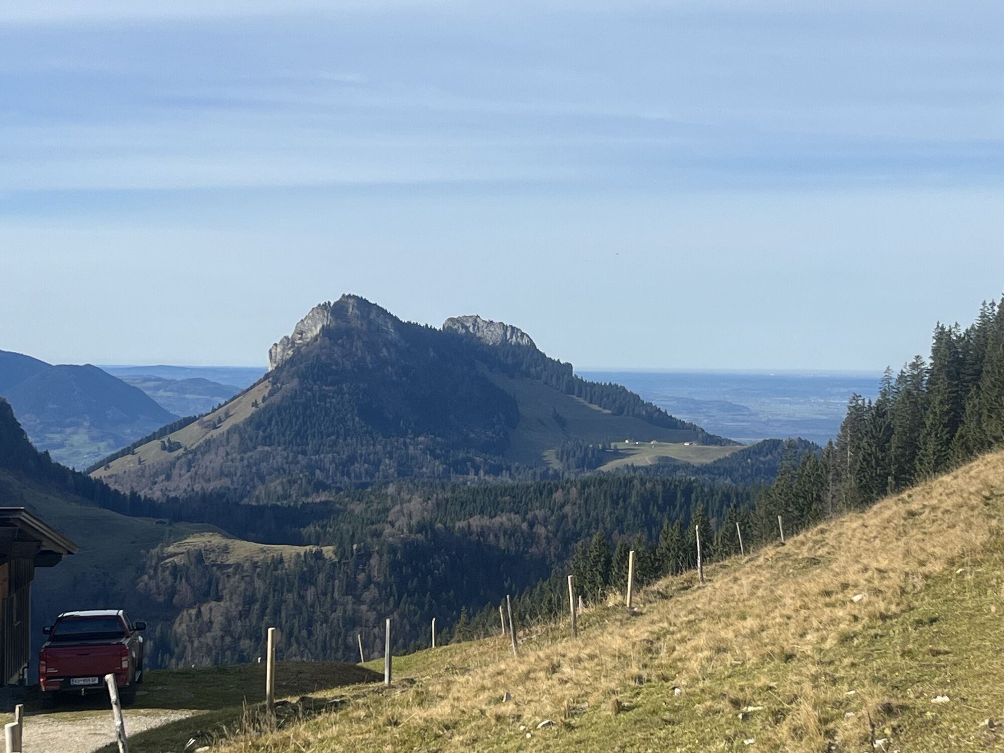
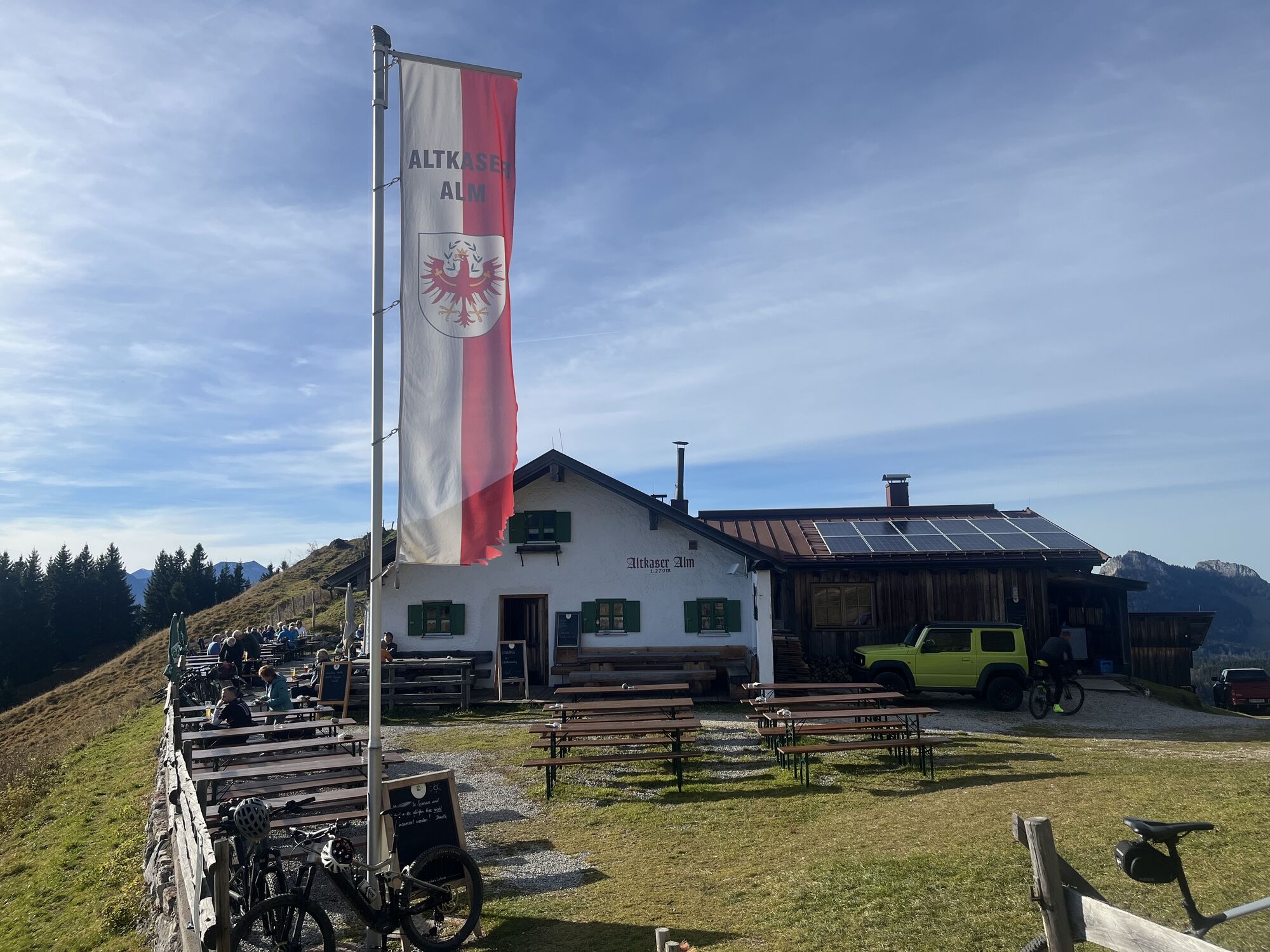
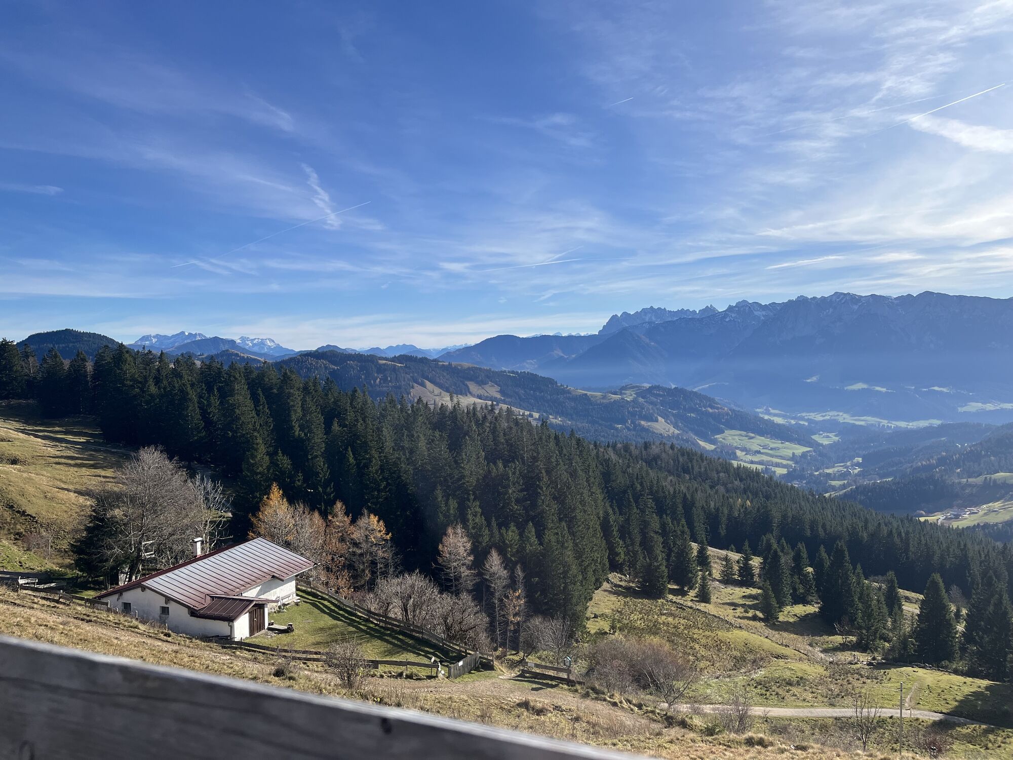
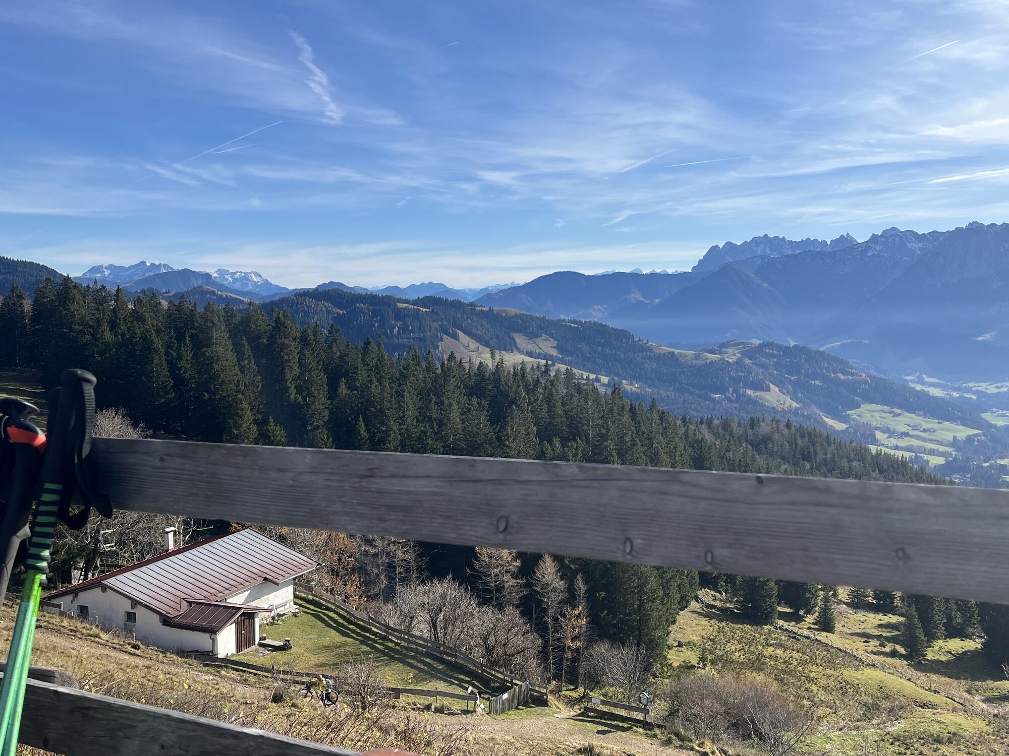
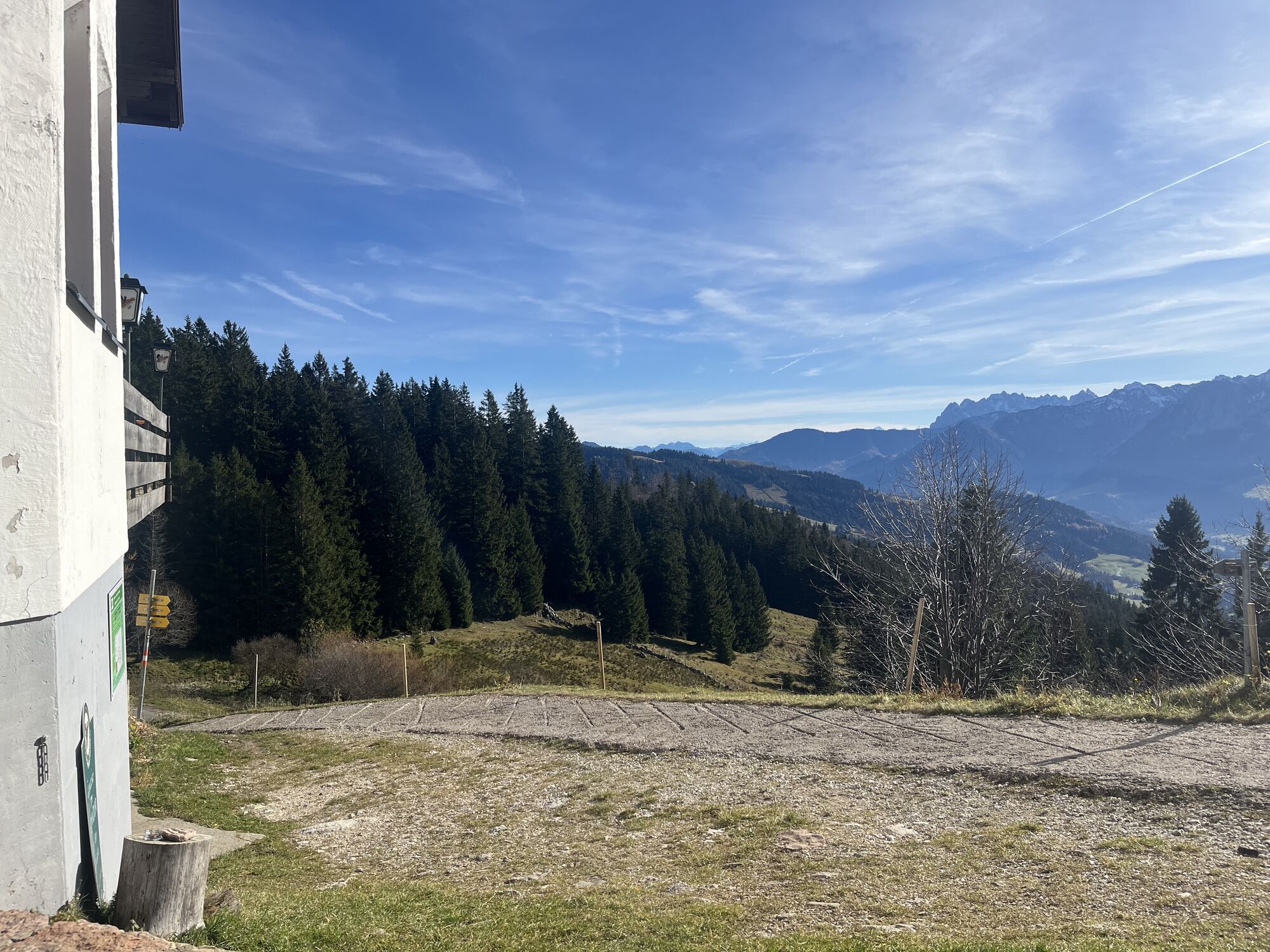
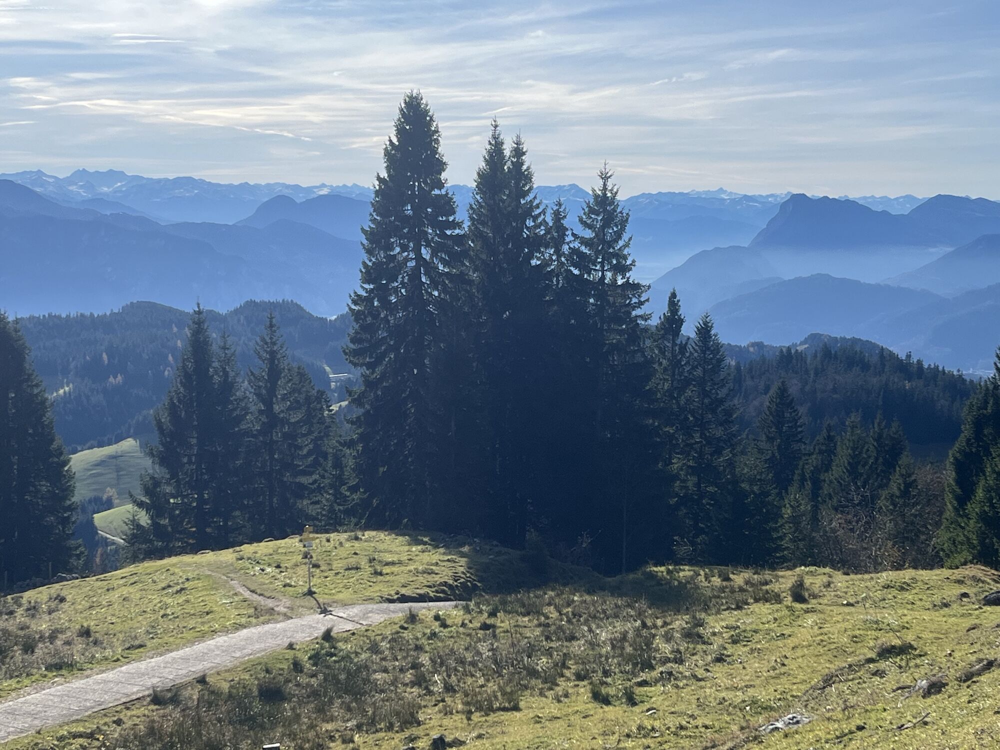
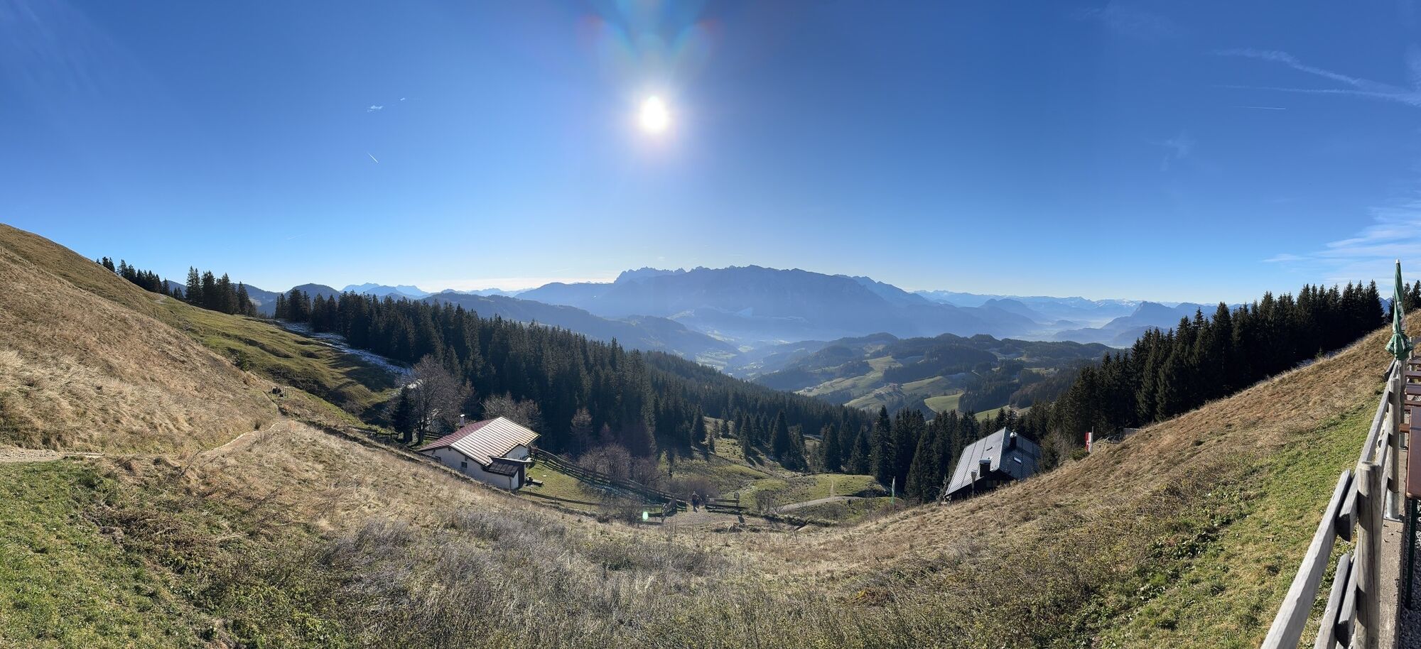
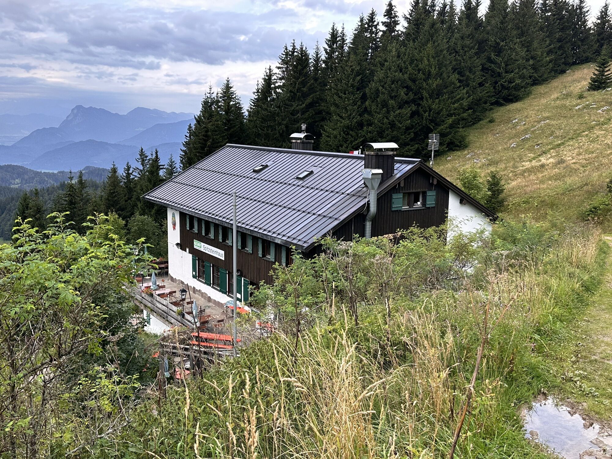
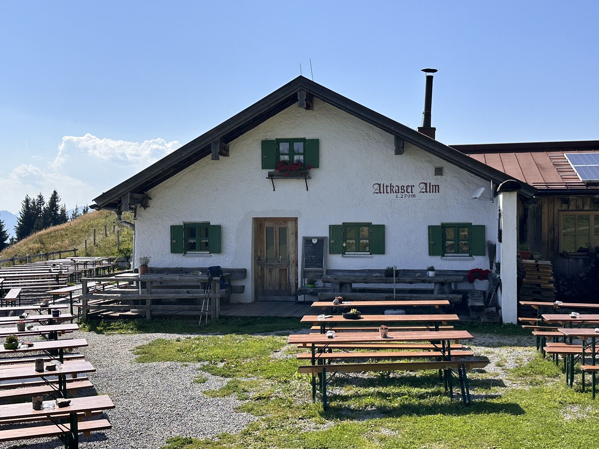

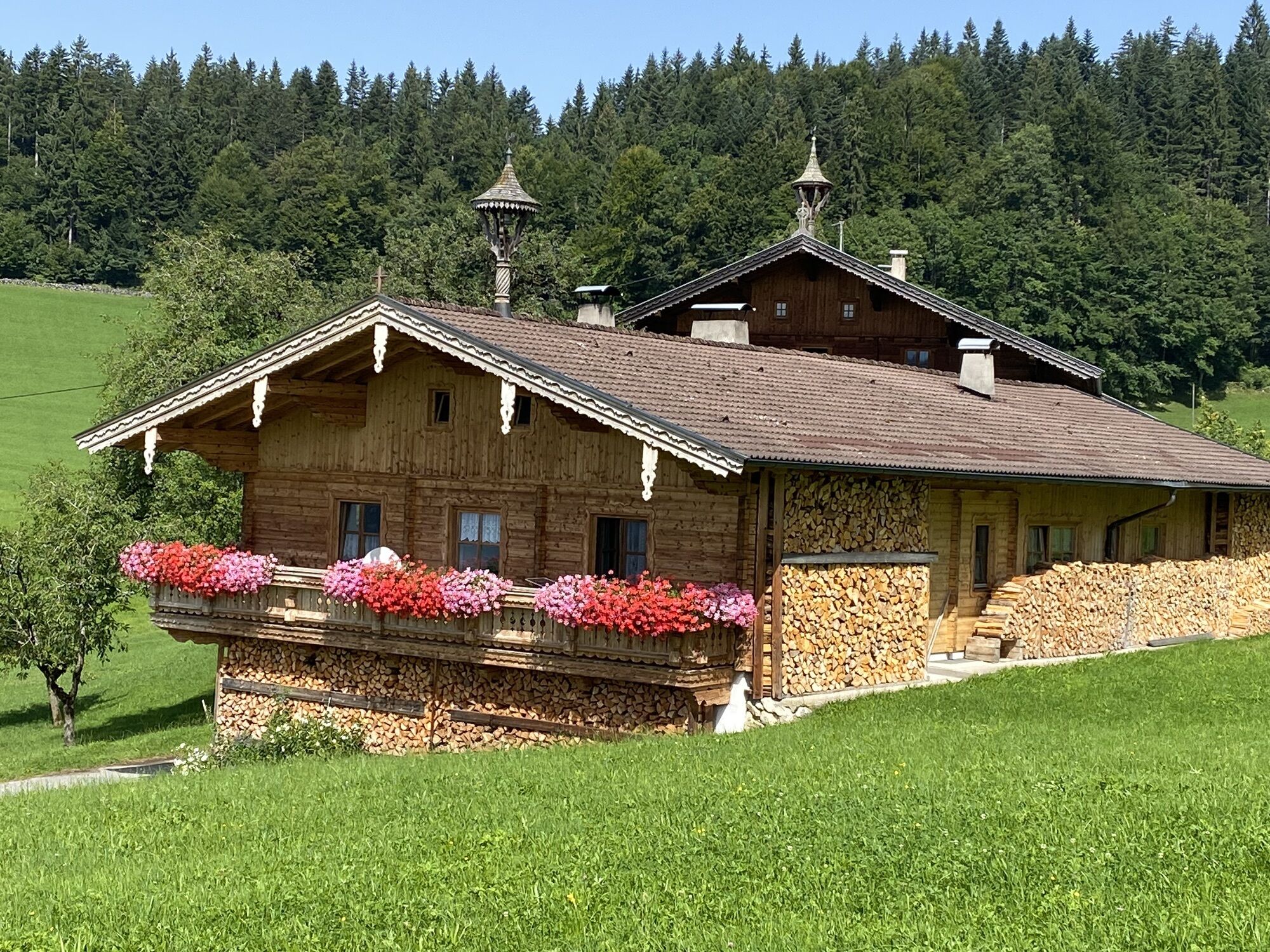
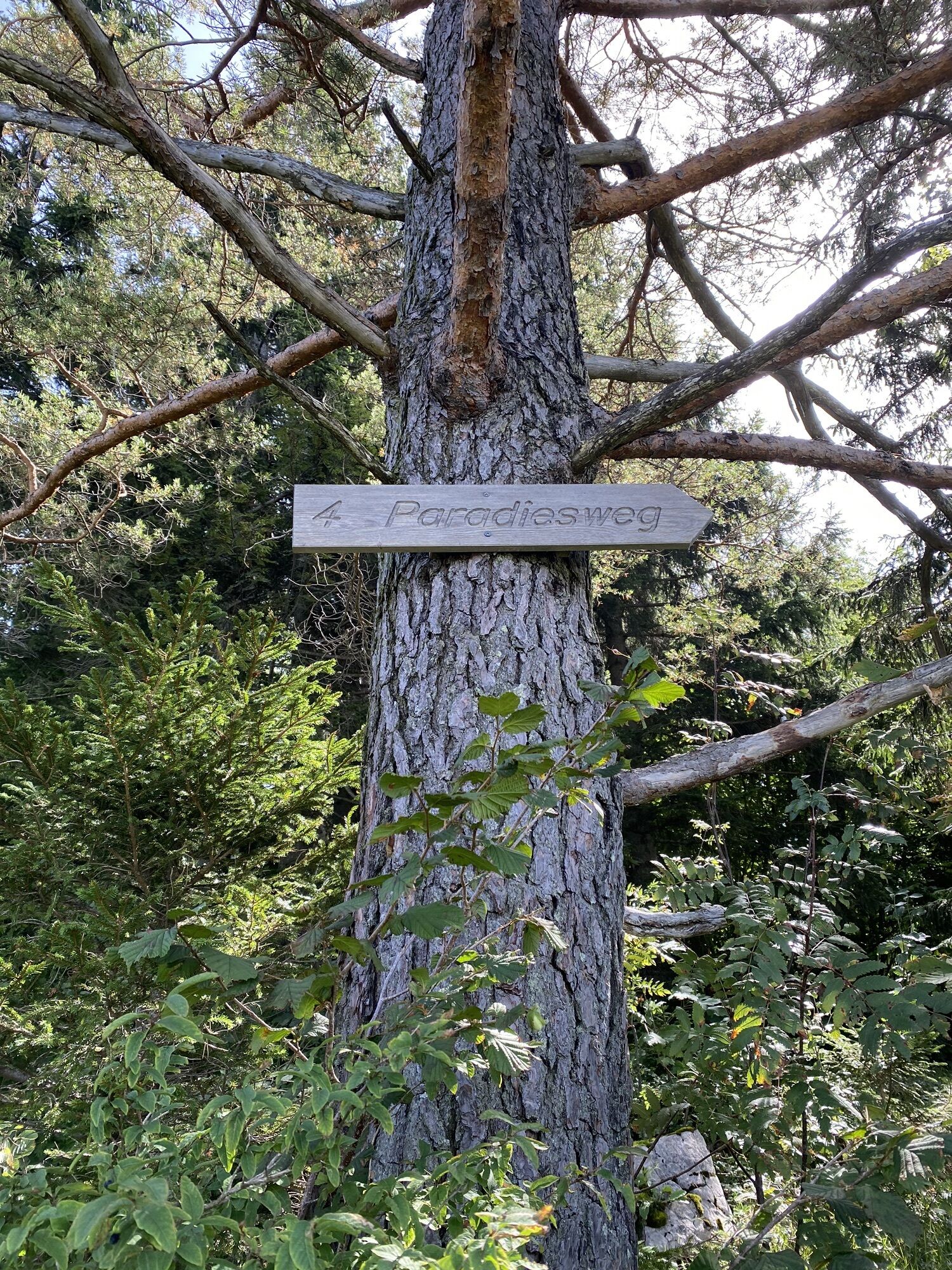
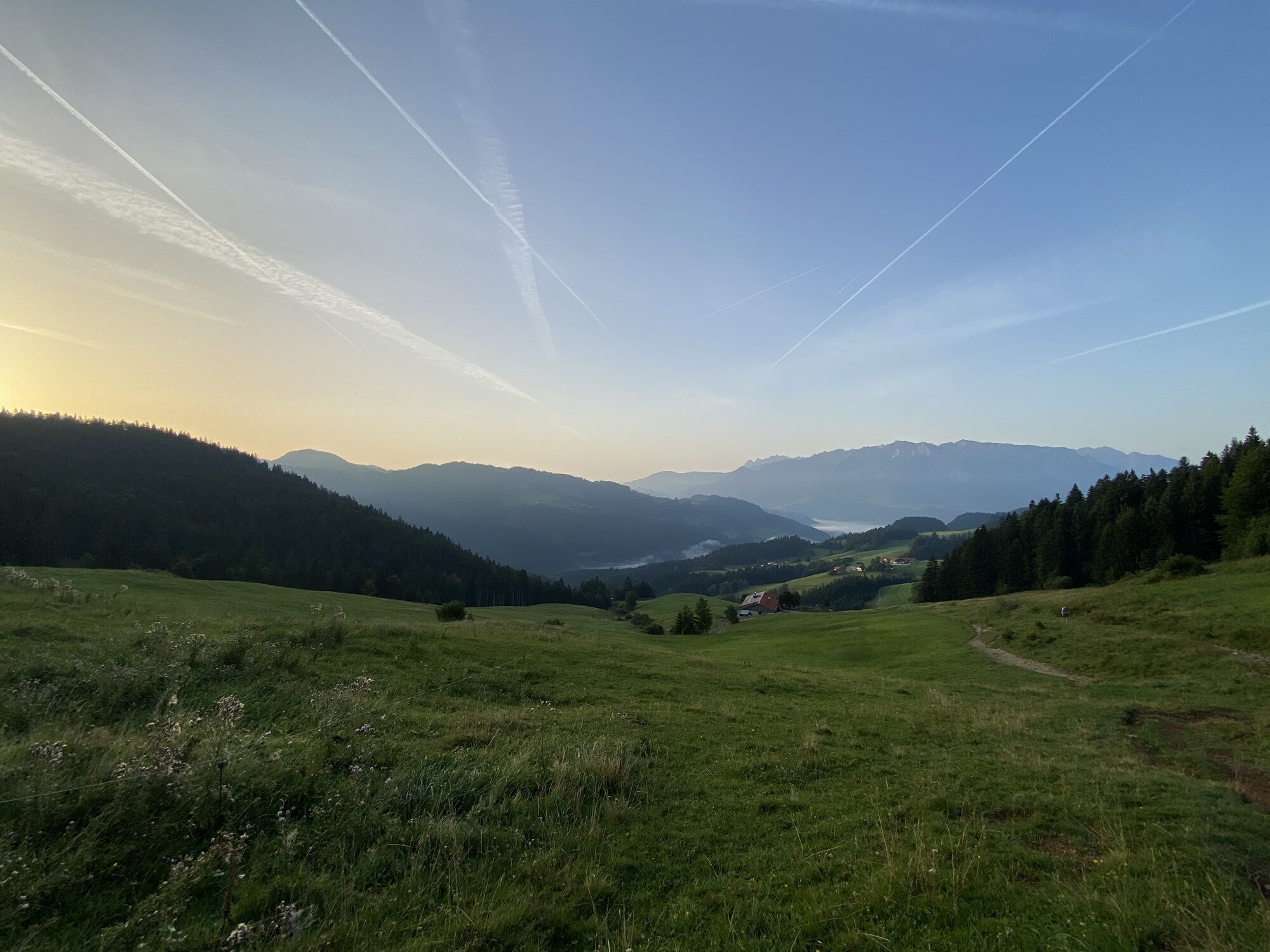
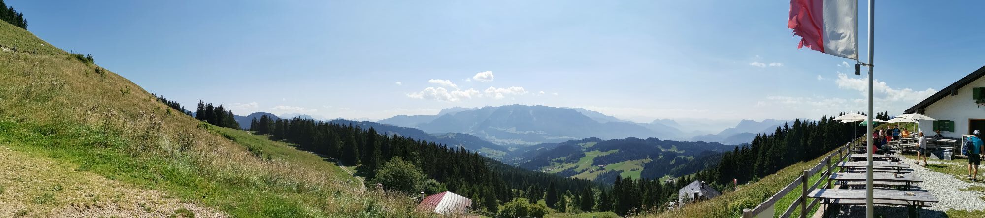
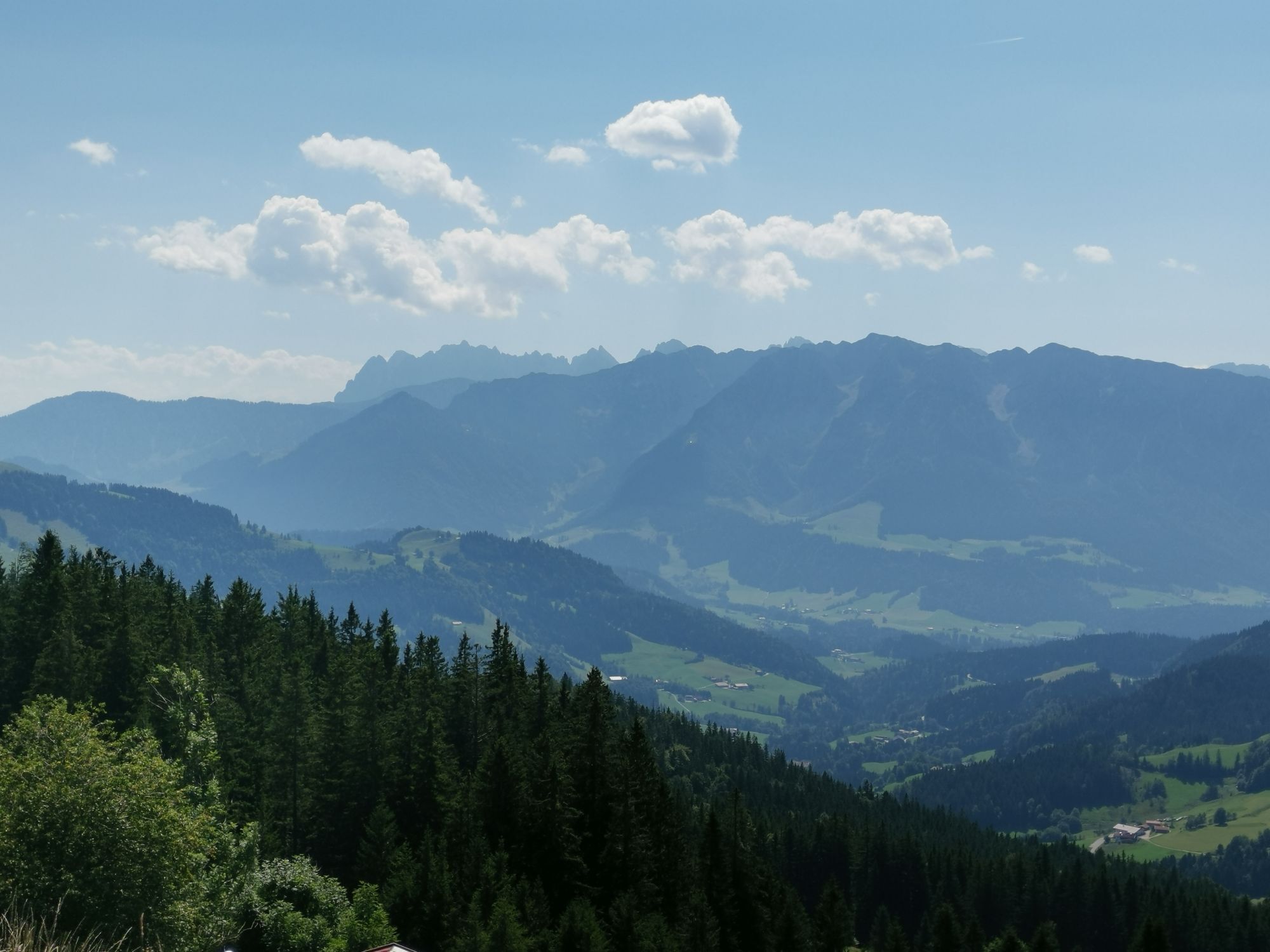
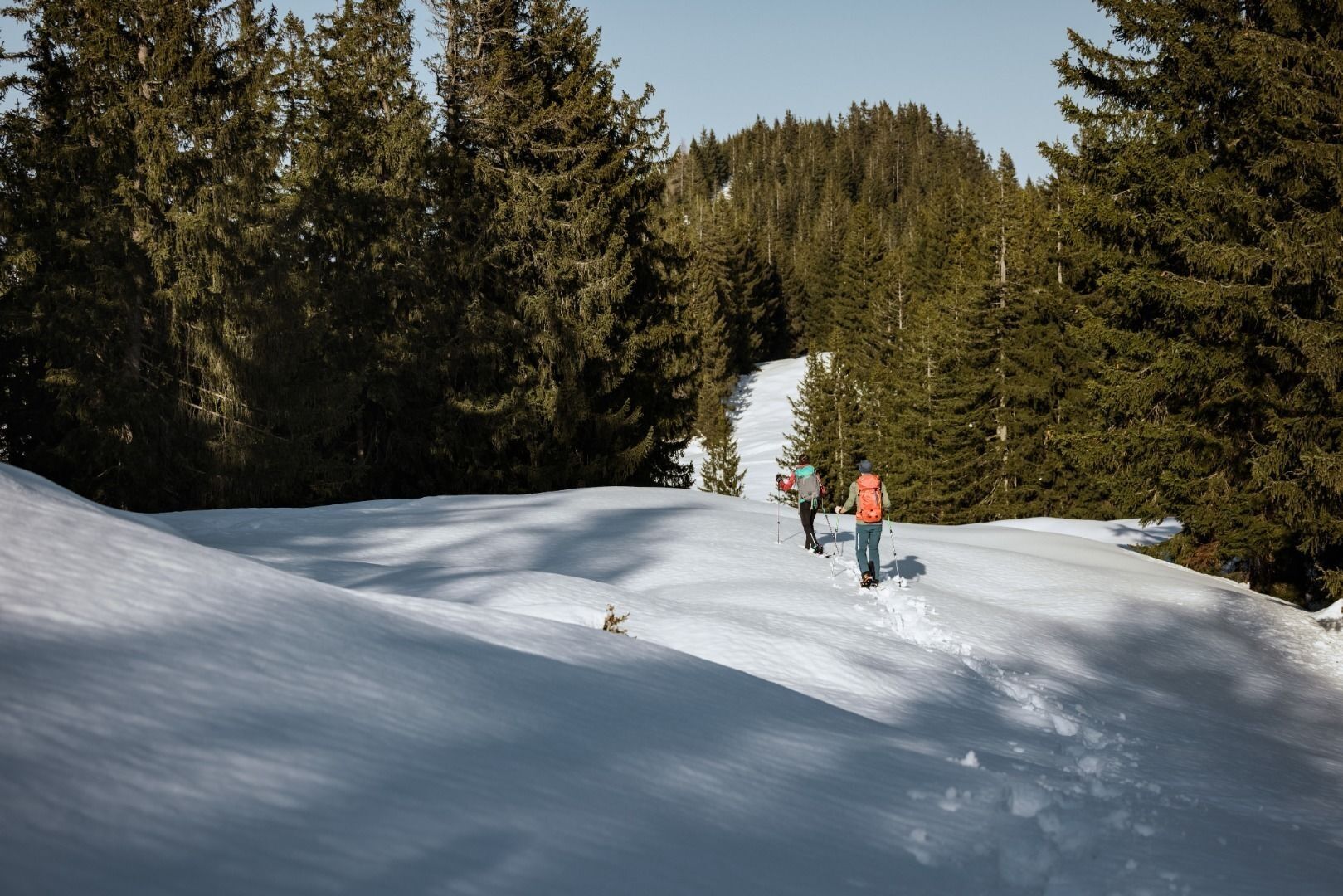
The tour first leads along the cleared road until it meets the winter hiking trail. Follow this until you reach a clearing. Then continue over gentle and sunny alpine pastures first to the Goglalm, then...
The tour first leads along the cleared road until it meets the winter hiking trail. Follow this until you reach a clearing. Then continue over gentle and sunny alpine pastures first to the Goglalm, then to the Spitzsteinhaus and finally to the Altkaser Alm.
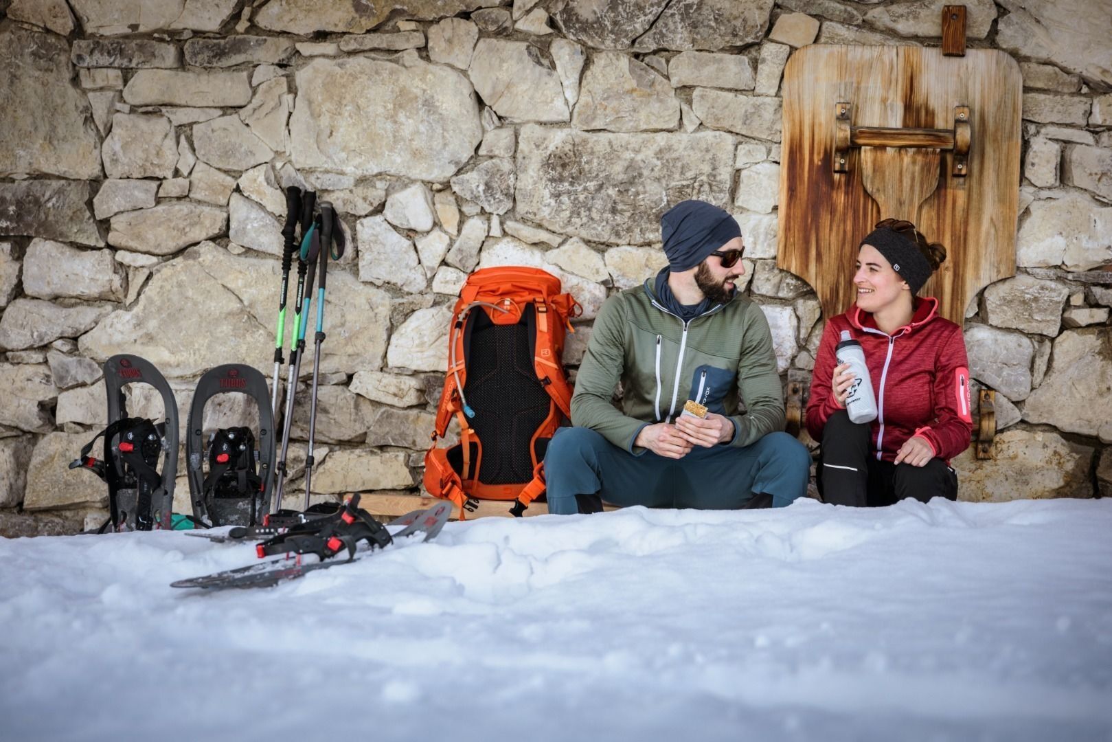

Clothing adapted to winter temperatures (warm, breathable, etc.),
Food and drink,
First aid equipment,
Mobile phone with full battery,
Hiking map and guide literature,
Sun protection (sunglasses, sunscreen and cap),
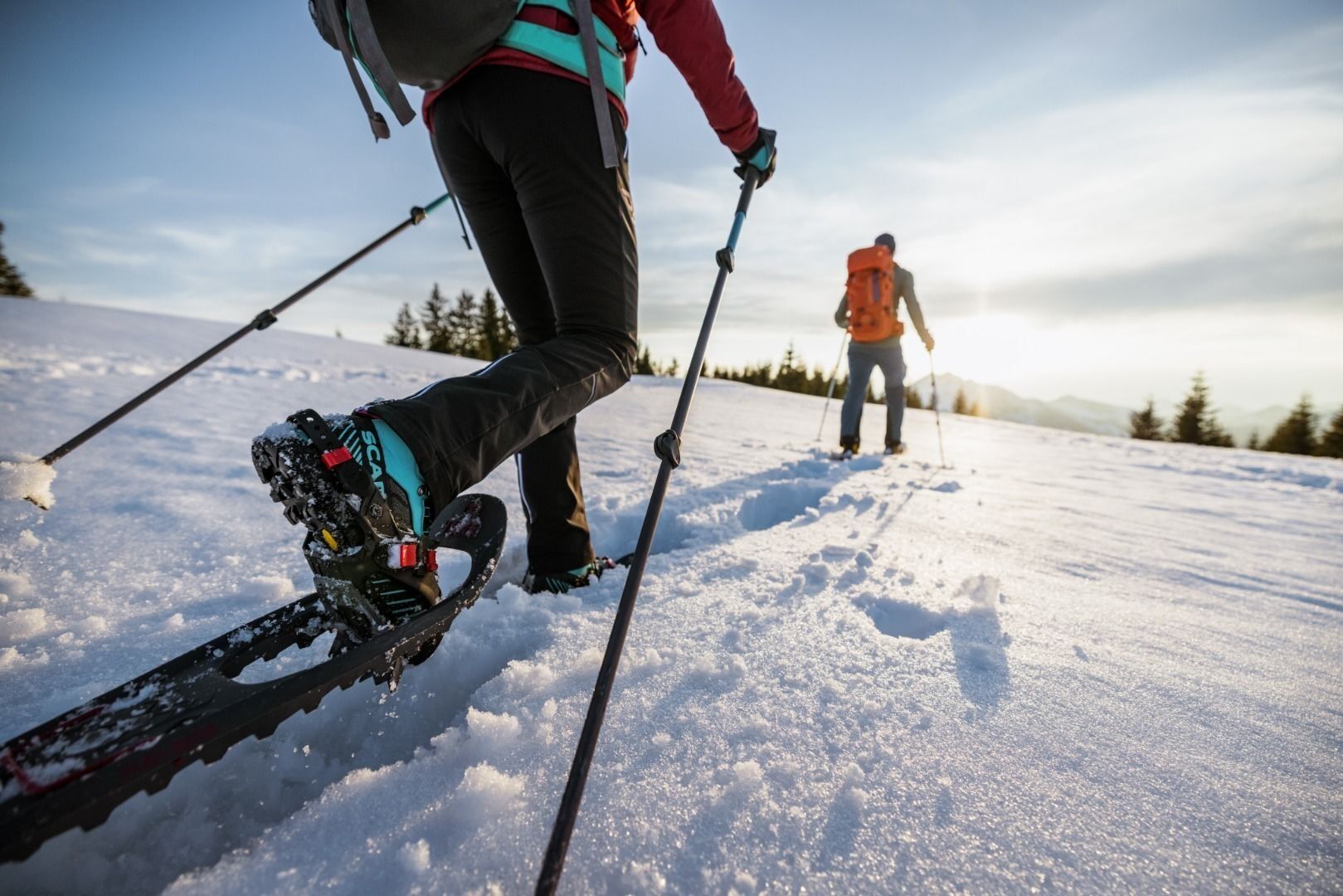
Telescopic poles,
Snowshoes
Arrival by car to the parking lot for hikers at the Erlerberg.
With the bus line 4036 the journey is possible to the bus stop "Erl Dorf", from there the ascent must be completed on foot. With the KufsteinerlandCard within the region bus free of charge.
Car park Erlerberg, free of charge
Obtenez un aperçu
Toujours en direct avec plus de 9.500 webcams. En tant qu'utilisateur Pro, vous pouvez désormais voir les webcams correspondantes à de nombreuses randonnées dans l'application de randonnées de bergfex. Vous pouvez ainsi voir directement les conditions actuelles.
Parcours populaires à proximité
-
5,0
Priener Hütte
moyenRandonnée 7,99 km -
5,0
Stripsenjoch Klettersteige/ Rundwanderung von Griesener Alm über Stripsenjochhaus und Feldberg
moyenVia ferrata 10,2 km -
4,7
Musikantensteig zur Naunspitze
moyenRandonnée 8,96 km -
4,6
Geigelstein
moyenRandonnée 14,5 km -
4,5
Kampenwand
moyenRandonnée 4,35 km -
4,5
Wanderung: Spitzstein und Altkaseralm von Sachrang
moyenRandonnée 4,03 km -
4,9
Kirchdorf: Kaiserbachtal - Stripsenkopf und Feldberg
difficileRandonnée 12,6 km -
4,5
Samerberg - Hochries
moyenRandonnée 8,97 km -
4,4
Pyramidenspitze, Vordere Kesselschneid
difficileRandonnée 12,8 km -
4,4
Der Schmugglerweg von Kössen zum Klobenstein
facileChemin thématique 7,23 km
Randonnée et suivi


Ne manquez pas les offres et l'inspiration pour vos prochaines vacances
Votre adresse électronique a été ajouté à la liste de diffusion.





