







snowshoe hiking "Schattseite"

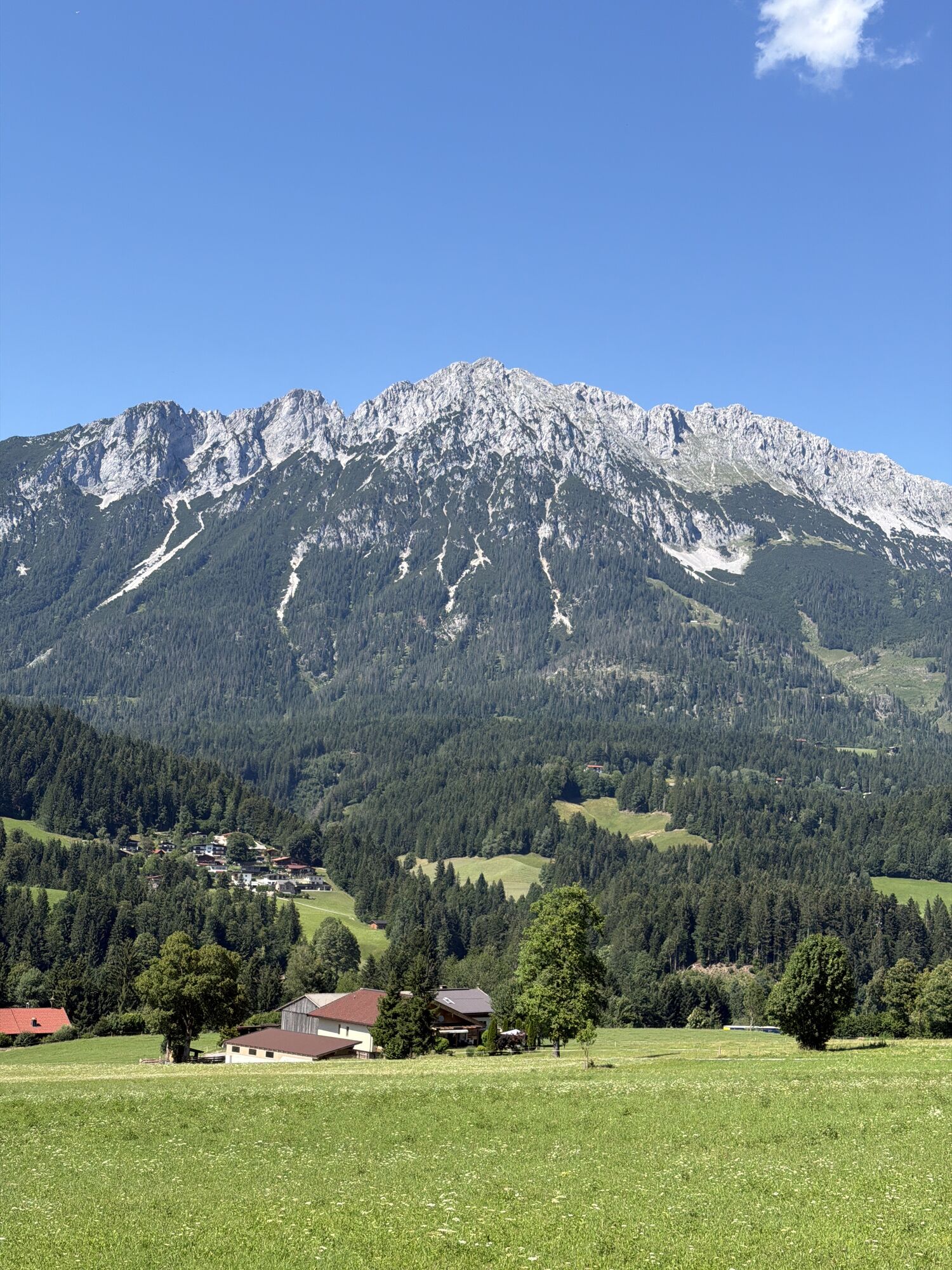
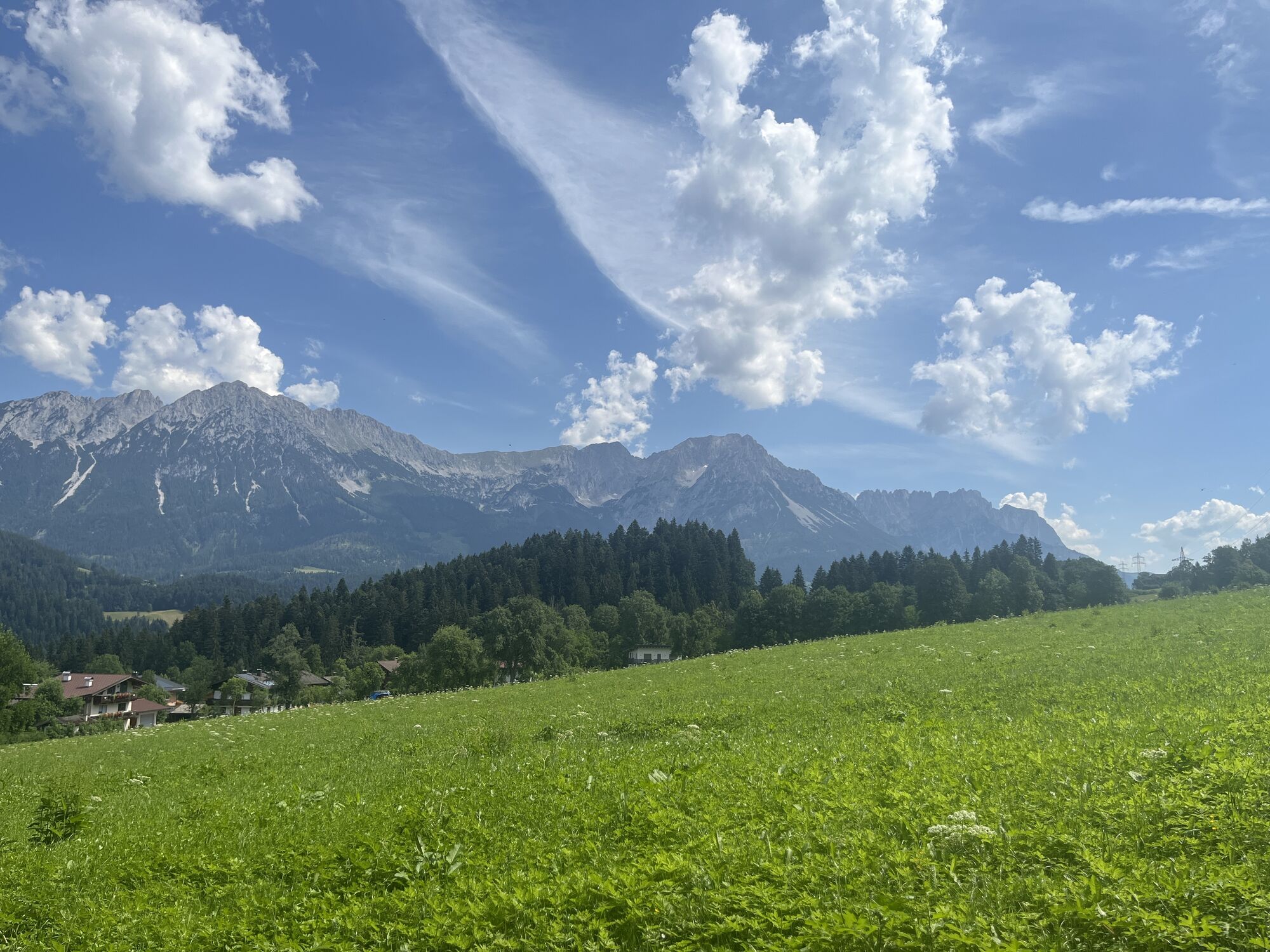
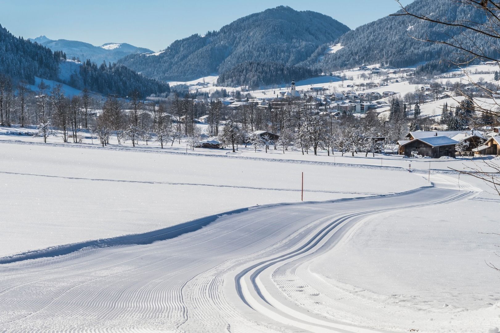
Trudge with your snowshoes from the Ahornsee car park towards the valley station of the mountain railway and continue along the Schattseitweg to the Gasthaus Bocking. You can follow the yellow hiking signs...
Trudge with your snowshoes from the Ahornsee car park towards the valley station of the mountain railway and continue along the Schattseitweg to the Gasthaus Bocking. You can follow the yellow hiking signs "Scheffau über Schattseite". From Gasthaus Bocking you can take the public bus back to Söll.
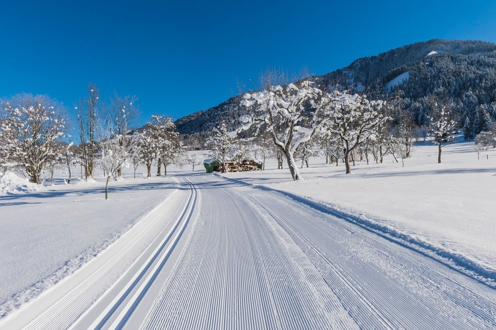
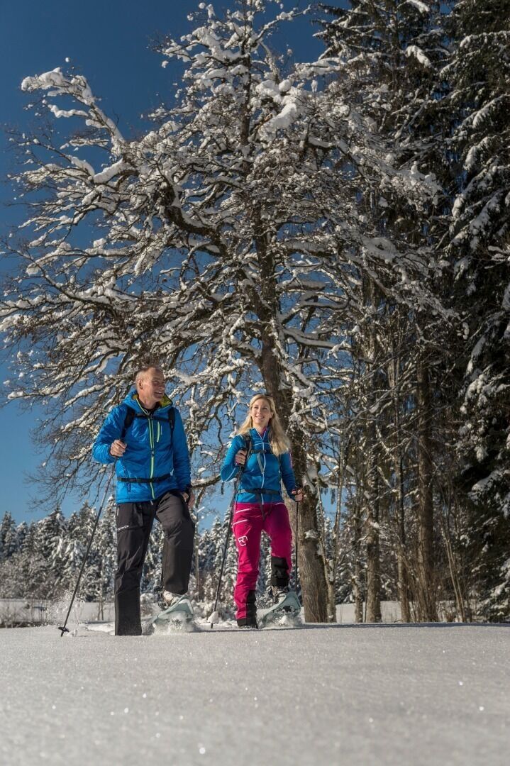

Snowshoes appropriate for your weight and height, sturdy high mountaineering boots with anti-slip treaded soles (waterproof), weather-appropriate outdoor gear (breathable) incl. a change of clothes, sun protection (sunglasses, sun cream, lip protection, headgear), waterproofs (rain jacket/poncho, pocket umbrella, rucksack protector), cold protection (hat, gloves), sufficient food and hot drinks, hiking poles (height adjustable) if required, first aid kit incl. rescue blanket and bivouac sack, mobile phone with fully charged battery, headlamp, plastic bag for waste, hiking map, route description and information materials (GPX track), ID card, insurance card, cash
Heading from Wörgl, Kufstein or St. Johann on the B178 road, take the exit to Söll and then take the exit to Hexenwasser theme park (SkiWelt cable car valley station) at the roundabout. When you come to the first junction, which you will encounter before reaching Aparthotel Bergland, turn left and drive on until you reach the car park. (Caution: please ensure a clear turning circle for buses!)
ski bus stop "Stoll Skicenter"
Ahornsee car park, Söll (693 m) – free
Webcams de la tournée


Parcours populaires à proximité
-
4,9
Kirchdorf: Kaiserbachtal - Stripsenkopf und Feldberg
difficileRandonnée 12,6 km -
4,4
Rosskopf
facileRandonnée 7,02 km -
4,9
Schleierwasserfall Runde
moyenRandonnée 5,63 km -
4,8
Gruttenhütte über Klammlweg
moyenRandonnée 5,61 km -
4,9
Route 209: Brechhornhaus-Choralpe
difficileVTT 24,4 km -
5,0
Kirchdorf: Stripsenjoch Klettersteige
difficileVia ferrata 3,76 km -
4,8
Stripsenjoch Klettersteige/ Rundwanderung von Griesener Alm über Stripsenjochhaus und Feldberg
moyenVia ferrata 10,2 km -
4,8
Ellmauer Tor (22.07.2020)
moyenRandonnée 9,32 km -
4,8
Streif Wanderweg
moyenRandonnée 5,73 km -
4,2
Panoramarundweg am Hahnenkamm
facileRandonnée 3,02 km
Randonnée et suivi


Ne manquez pas les offres et l'inspiration pour vos prochaines vacances
Votre adresse électronique a été ajouté à la liste de diffusion.





