


Winter circular walk Hintersteiner See
Photos de nos utilisateurs
-
 © Johann Berger 1Créé le 21.09.2022
 -
 © Claudia FeixCréé le 09.09.2022
 -
 © Johann Berger 1Créé le 21.09.2022
 -
 © Johann Berger 1Créé le 21.09.2022
 -
 © Karsten-aus-TirolCréé le 08.05.2021
 -
 © Kirsten BrendelCréé le 09.10.2025
 -
 © Kirsten BrendelCréé le 09.10.2025
 -
 © Sandra WinkelmannCréé le 23.08.2025
 -
 © Sandra WinkelmannCréé le 23.08.2025
 -
 © Sandra WinkelmannCréé le 23.08.2025
 -
 © Sandra WinkelmannCréé le 23.08.2025
 -
 © Sandra WinkelmannCréé le 23.08.2025
 -
 © Luisa ThomsenCréé le 20.08.2025
 -
 © Luisa ThomsenCréé le 20.08.2025
 -
 © Peter PietschCréé le 19.08.2025
 -
 © Peter PietschCréé le 19.08.2025
 -

 © Péter OroszCréé le 18.08.2025
 -
 © Péter OroszCréé le 18.08.2025
 -
 © Péter OroszCréé le 18.08.2025
 -
 © Péter OroszCréé le 18.08.2025
 -
 © Péter OroszCréé le 18.08.2025
 -

 © Uwe HaegerCréé le 09.06.2025
 -

 © Peter LinzmaierCréé le 06.08.2024
 -
 © Peter LinzmaierCréé le 06.08.2024
 -
 © Peter LinzmaierCréé le 06.08.2024
 -
 © Wolfgang KleeweinCréé le 29.08.2022
 -
 © Wolfgang KleeweinCréé le 29.08.2022
 -
 © Wolfgang KleeweinCréé le 29.08.2022
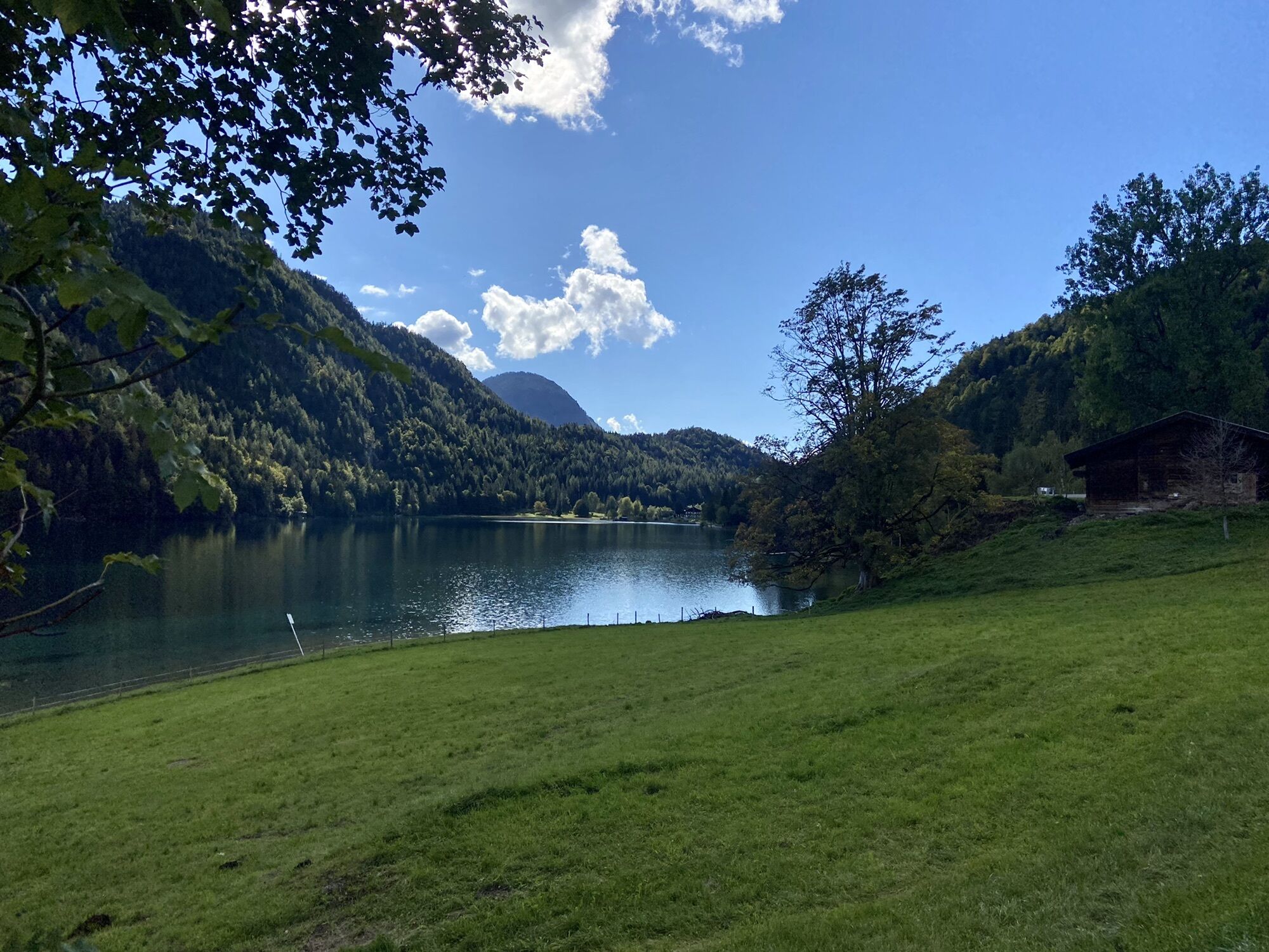
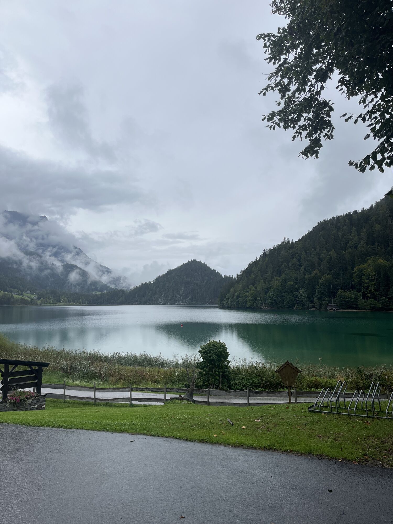


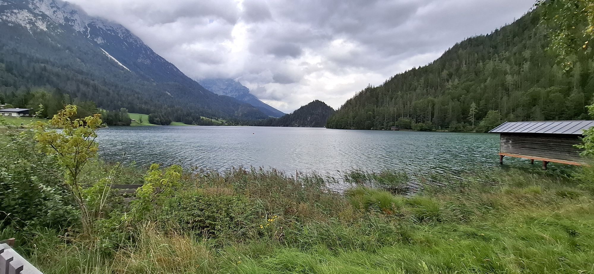
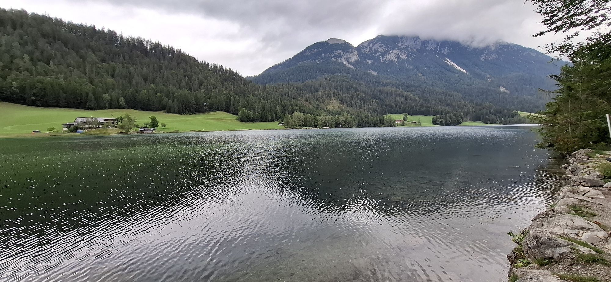


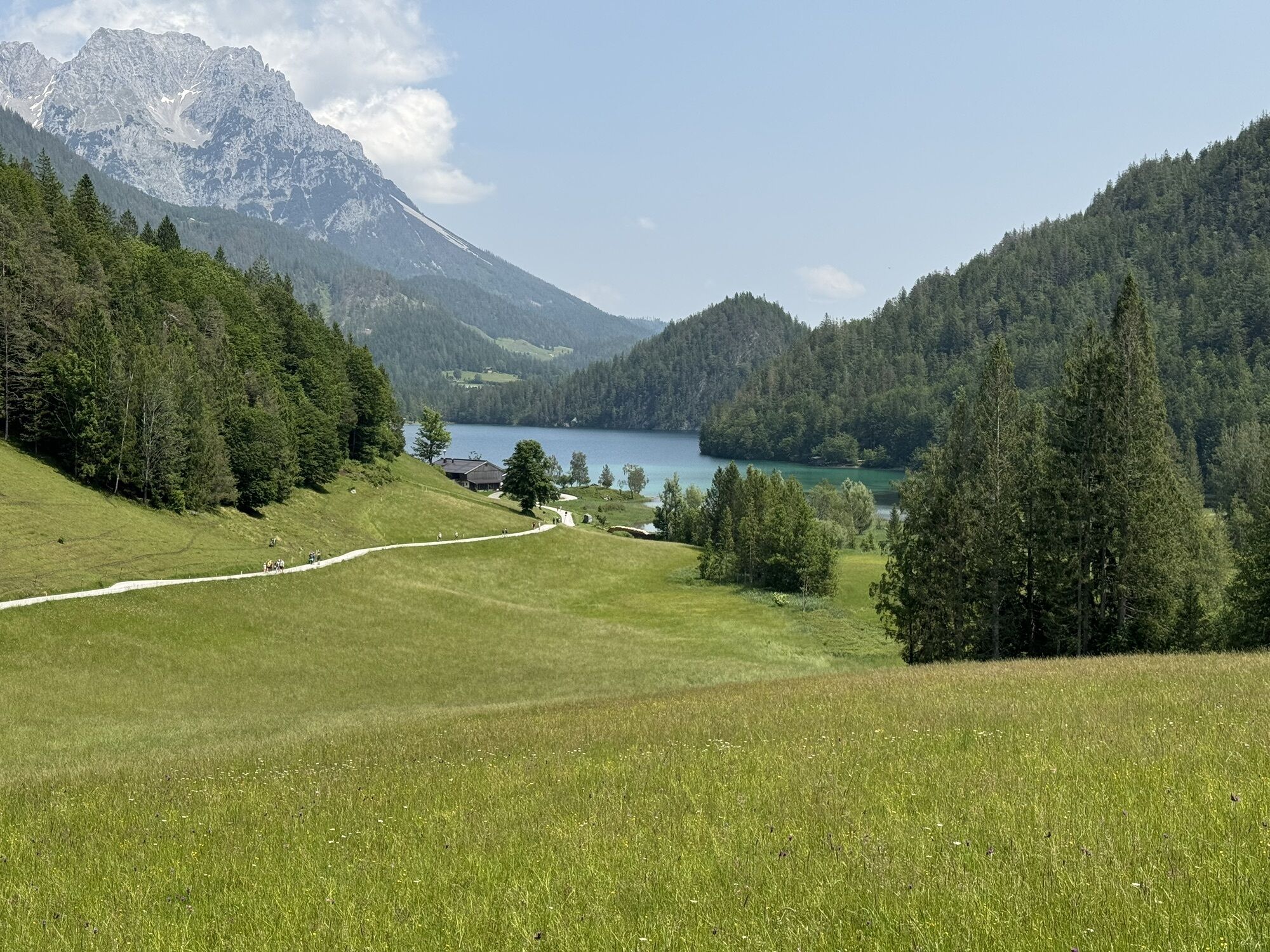
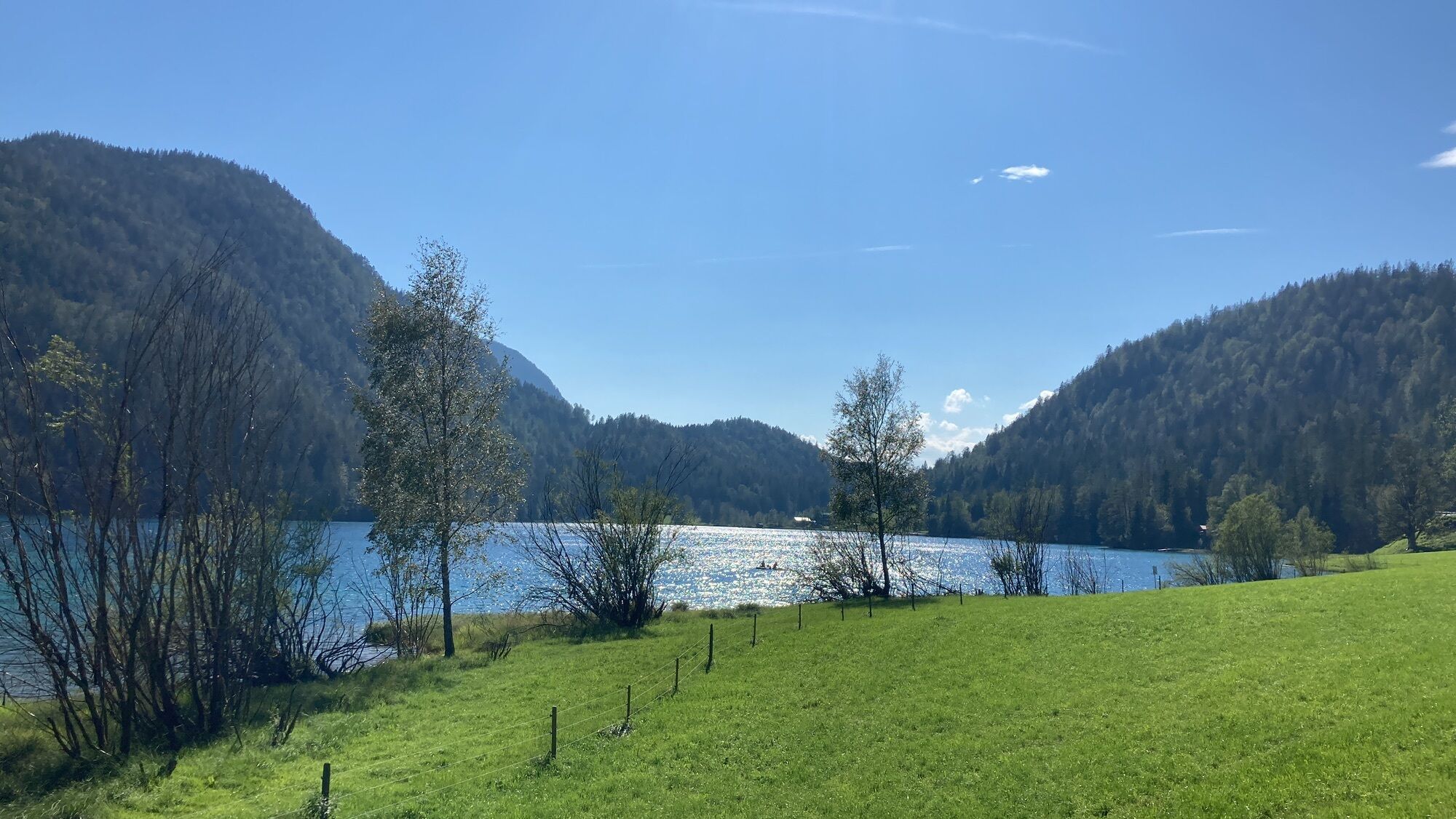

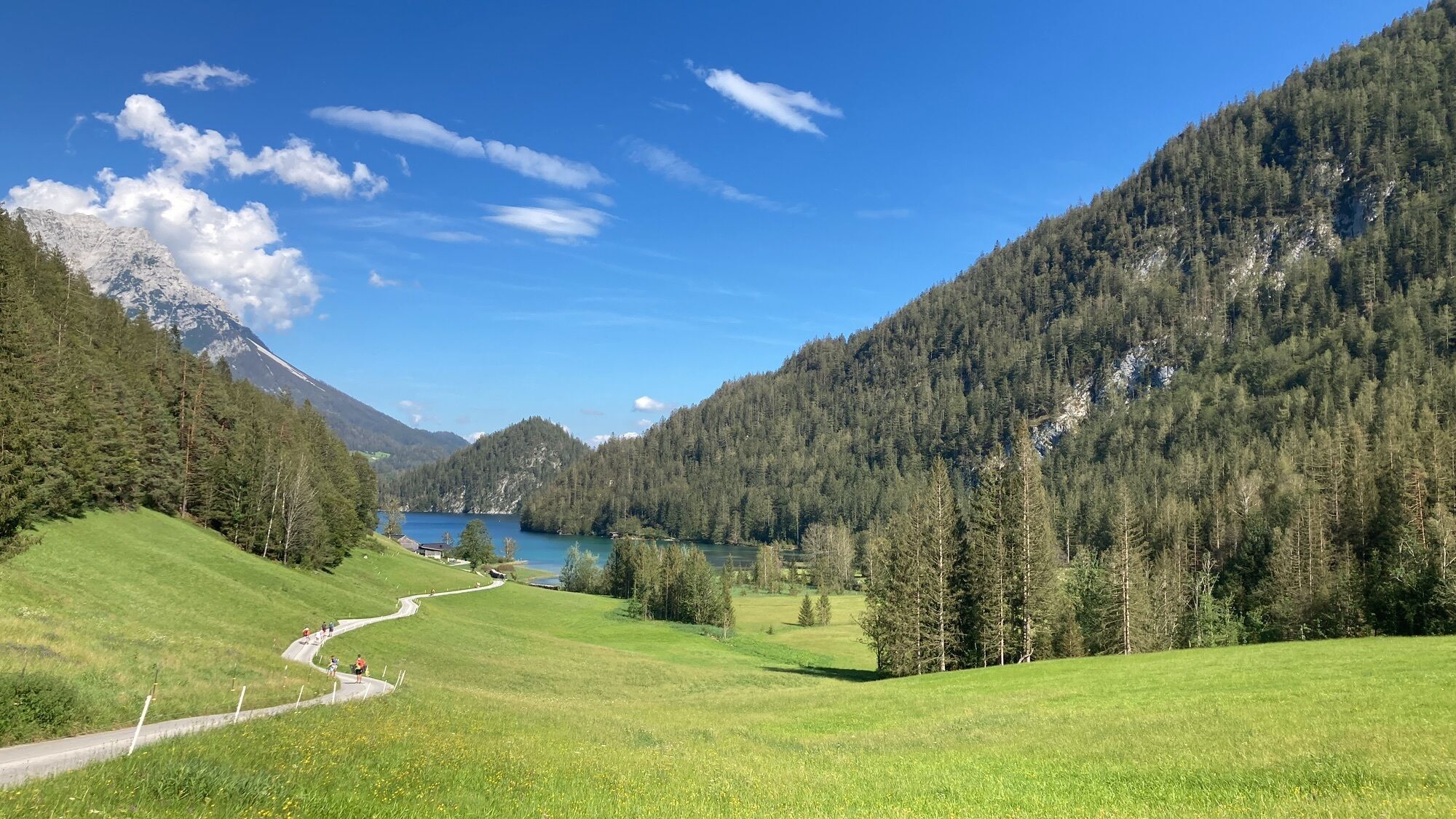


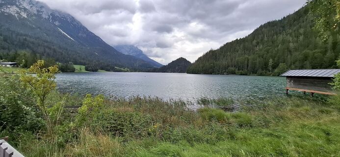
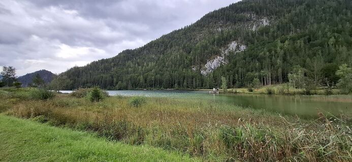
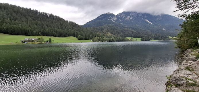
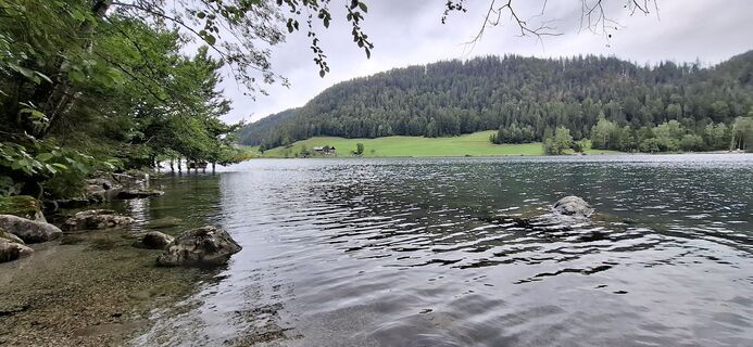
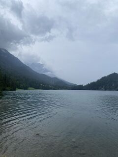
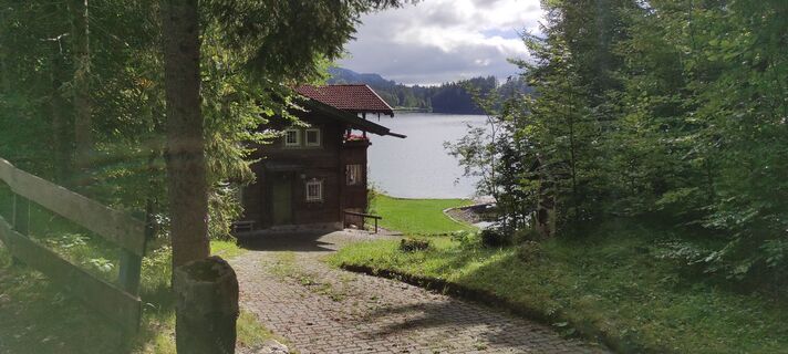
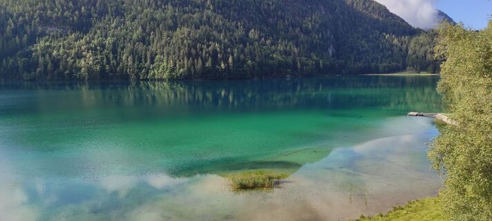
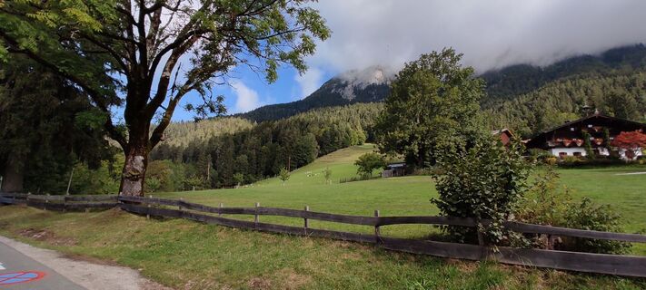
The start of this circular walk is on the eastern shore at Café Seestüberl. Follow the paved road no. 822 along the northern shore to Pension Maier. Shortly before the pension Maier you turn left and follow...
The start of this circular walk is on the eastern shore at Café Seestüberl. Follow the paved road no. 822 along the northern shore to Pension Maier. Shortly before the pension Maier you turn left and follow the signs to Seestüberl (path no. 822) until you come to the forest path on the south bank of the lake. Now it goes through the forest slightly up- and downhill (please note: this section will not be cleared in winter and can be difficult to walk on snow) to the intersection with the signpost "Hintersteiner See South". Here you turn right and follow the road to the farm Greidern and continue towards Seestüberl until you arrive the starting point again.
At this roundhike you will find several cozy restaurants for a break.
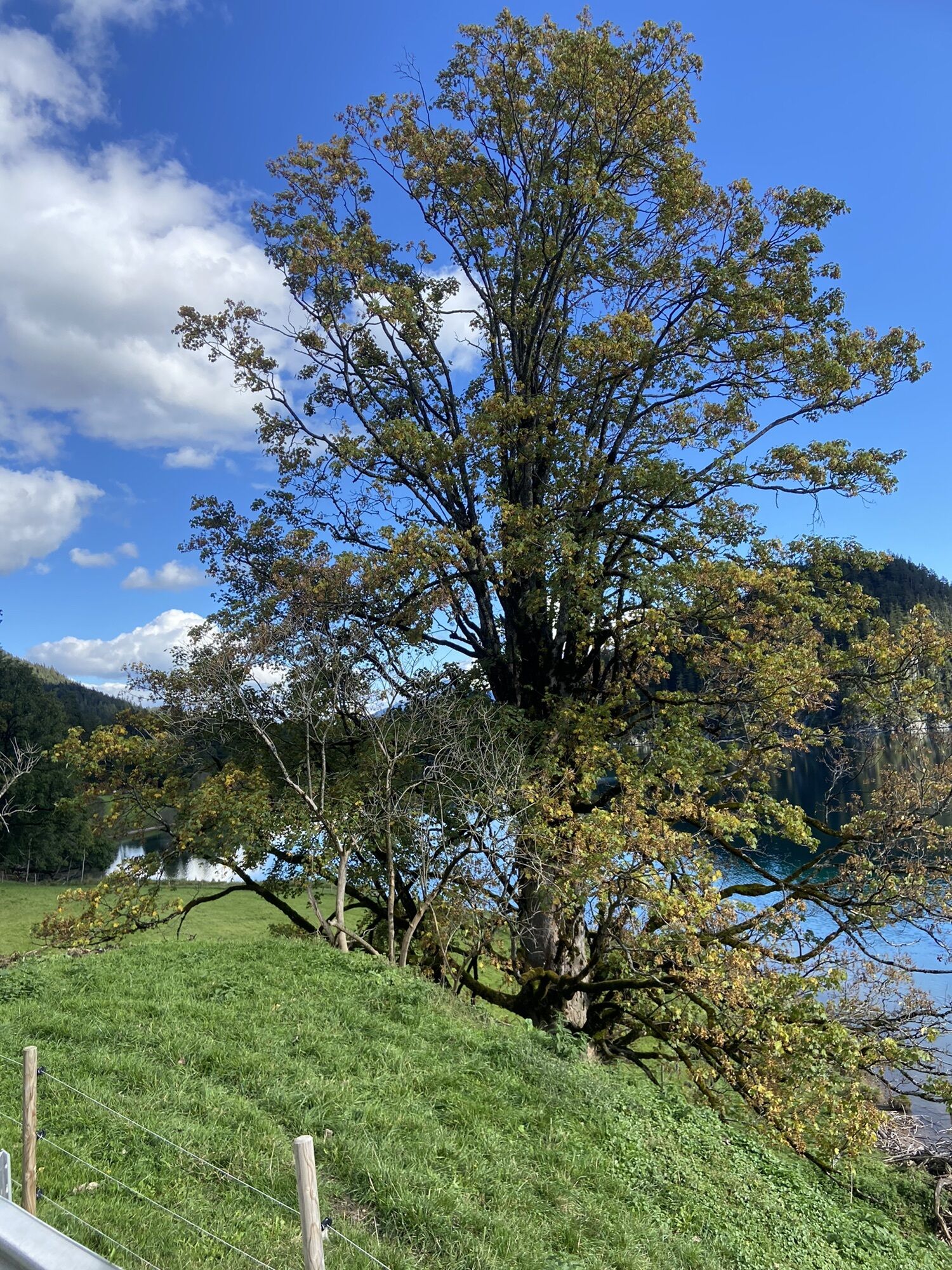
In spring, when the snow on the sunny side of Scheffau has already melted, you can admire some snow roses!
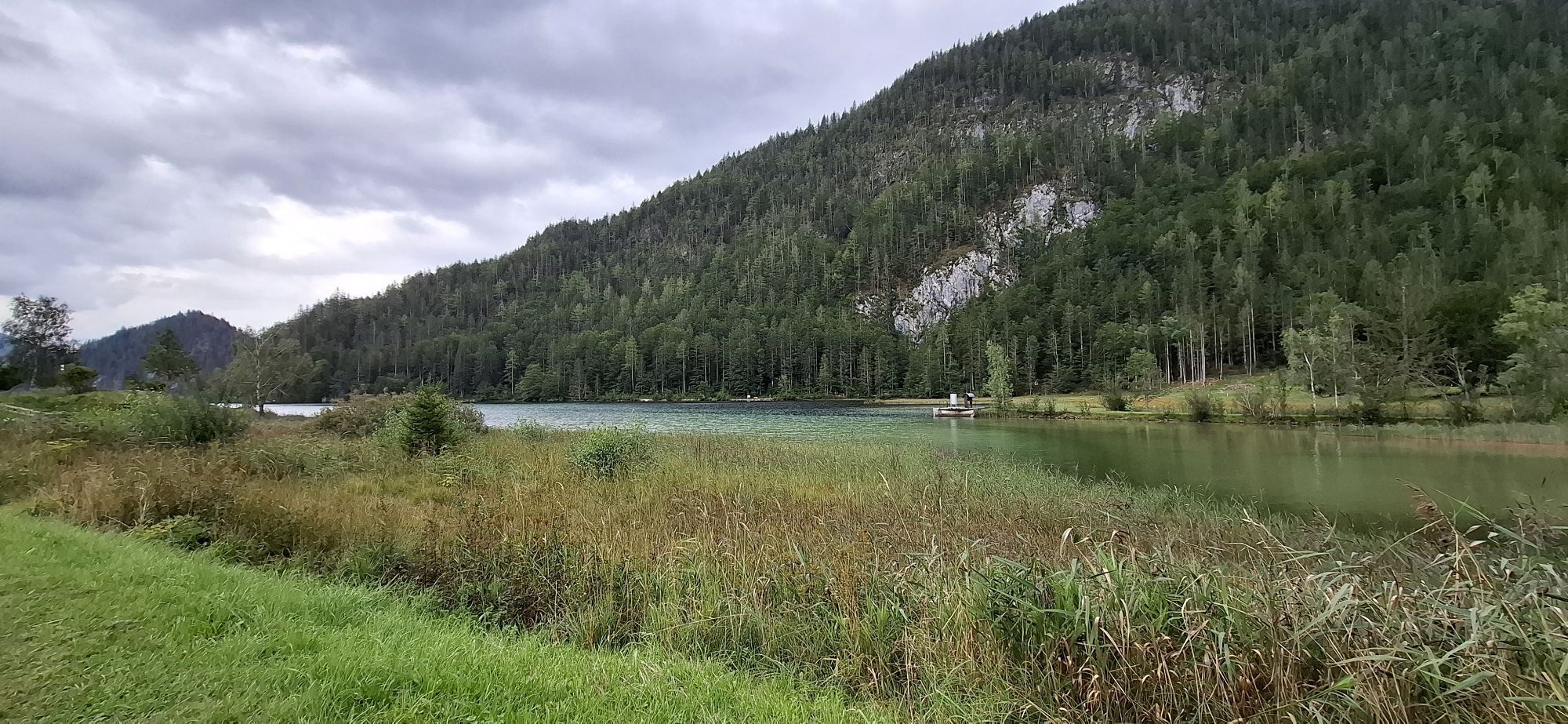
You can also return via the Rehbachklamm gorge or the Seebachgraben ditch.
What to look out for along the way:
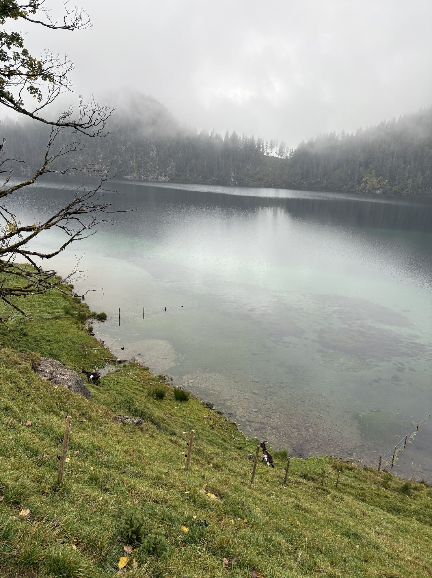
Several cosy refreshment stops can be found on the route beside the Hintersteiner See. These make up for the fact that the Walleralm mountain hut is closed in winter and only offers sunny benches to sit on!
The trail is a great place for stomping through fresh snow!
Wilder Kaiser hiking map (1:25.000) available in the tourist information centres Ellmau, Going, Scheffau and Söll
Sturdy high mountaineering boots with anti-slip treaded soles (waterproof), weather-appropriate outdoor gear, sun protection, waterproofs, cold protection (hat, gloves), sufficient food and hot drinks, hiking poles (height adjustable) if required, mobile phone, plastic bag for waste, hiking map, route description and information materials (GPX track), ID card, cash
Heading from Wörgl, Kufstein or St. Johann on the B178 road, take the exit to Scheffau and drive through the village as you continue in the direction of the Hintersteiner See. The hiking starting point and the pay & display car park are located next to the Seestüberl restaurant on the eastern bank of the lake.
Car park next to Seestüberl restaurant, Scheffau (889 m) – pay & display
Parcours populaires à proximité
-
4,5
Über Hintersteinersee und Walleralm aufs Hochegg
facileRandonnée 12,2 km -
4,7
Musikantensteig zur Naunspitze
moyenRandonnée 8,96 km -
4,2
Bergdoktor Wohnhaus "Gruberhof" (Köpfing Hof) Rundeweg-Söll
facileRandonnée 8,70 km -
4,5
Wanderung um den Hintersteinersee
facileRandonnée 5,29 km -
3,3
Kaisertal Rund-Wanderung
moyenRandonnée 13,9 km -
4,7
Hintersteinersee
moyenRandonnée 9,87 km -
4,9
Ellmauer Tor (22.07.2020)
moyenRandonnée 9,32 km -
4,9
Route 209: Brechhornhaus-Choralpe
difficileVTT 24,4 km -
4,5
Jubiläumssteig Kaisergrbirge
facileVia ferrata 6,29 km -
4,3
Walchsee - Heuberg
moyenRandonnée 11,4 km

Randonnée et suivi


Ne manquez pas les offres et l'inspiration pour vos prochaines vacances
Votre adresse électronique a été ajouté à la liste de diffusion.