



Lake Gaislachsee

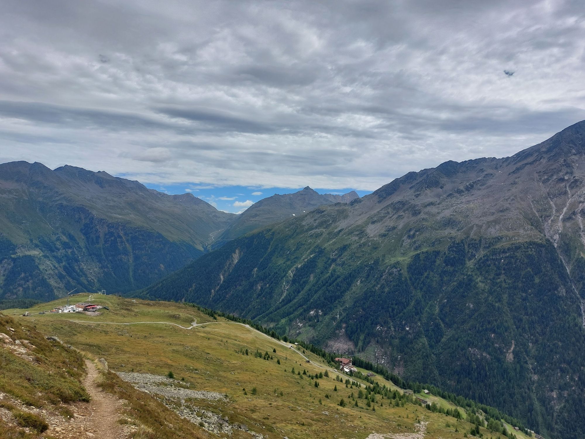
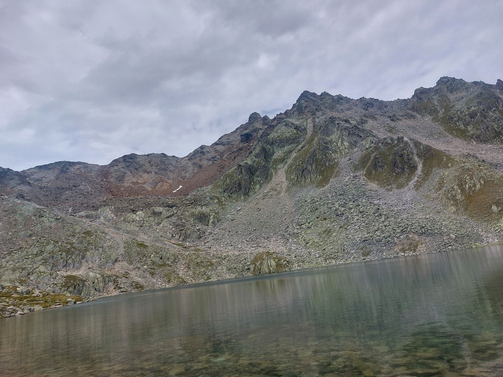
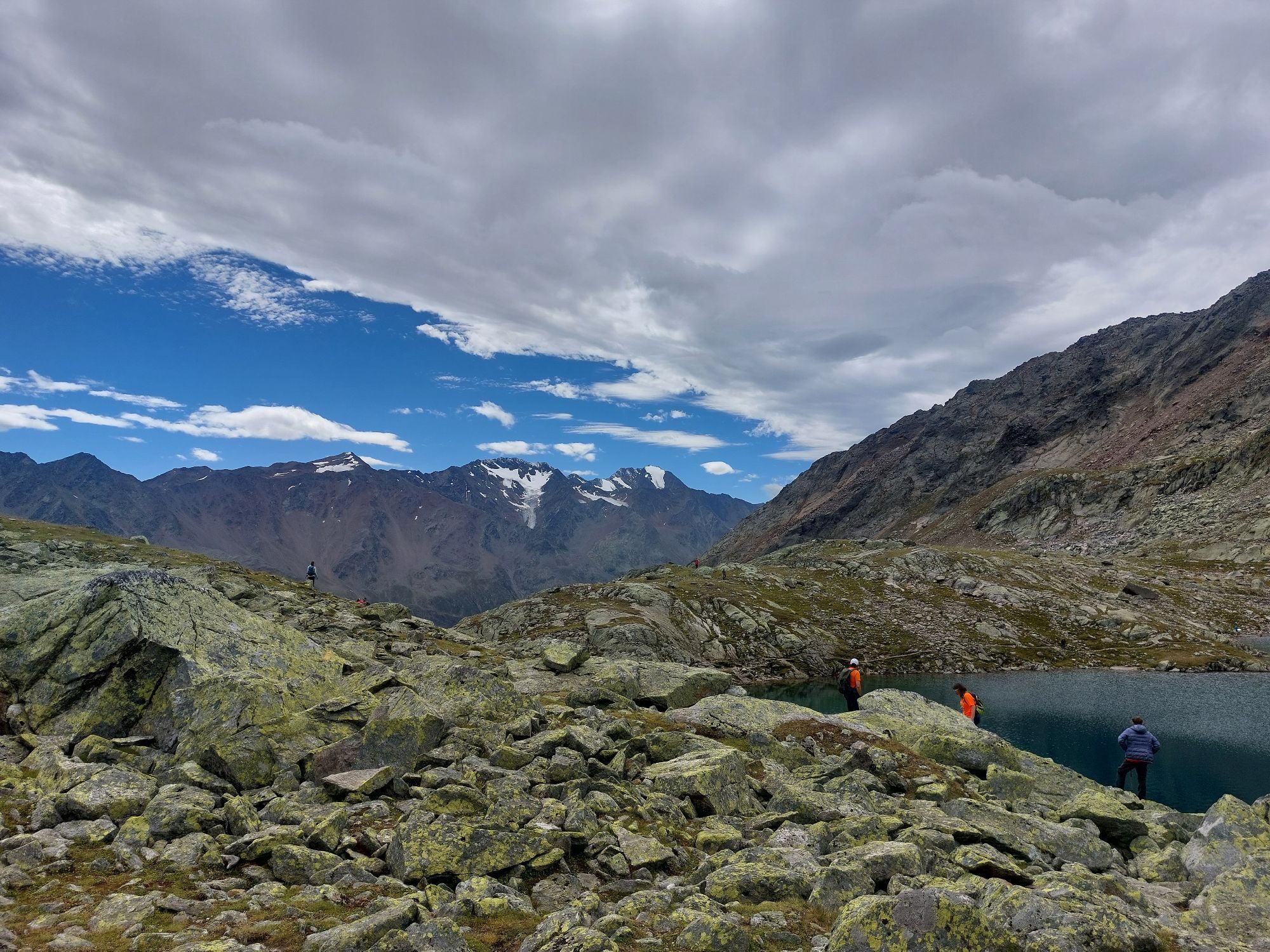
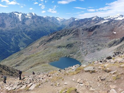
Due to its unique heart shape, the Gaislacher See is unique in the Ötztal valley and worth every hike.



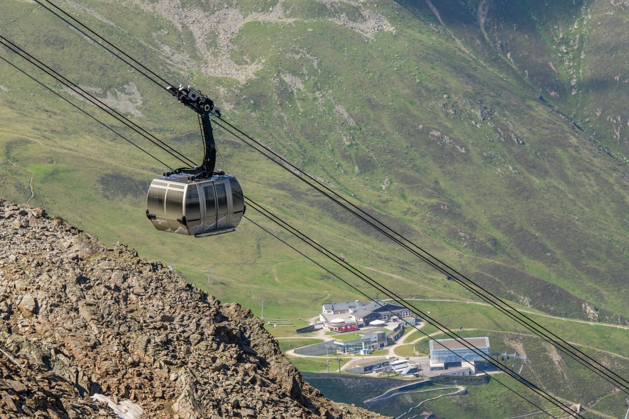

Here you stick to the marked path to the Gaislacher See or Kogl.
You continue to hike the steeper hairpin bends up into the Gaislacher Kar to the Gaislacher See.
Please bring a first-aidbox, a mobile phone, a walking map and if there is no hut on the way a snack and enough to drink.
Moderate mountain trail; for sure-footed and experienced hikers. Good physical condition, mountain experience & mountain equipment (see notice equipment) necessary. Please pay attention to the current weather report.
All parking is free during the day.
Parking for several days (eg hike tour):
Parkticket either online or directly at the cash desk of the Gaislachkoglbahn
More details about hiking In Ötztal: https://www.oetztal.com/wandern

Webcams de la tournée
Seekogel
Gaislachkogel
Sölden - Schwarze Schneid
Sölden - Tiefenbachferner Tal
Sölden - Rettenbachferner
Sölden - Hochsölden
Sölden - Grünwald Resort
Sölden - Grünwald Resort
Giggijoch
Giggijoch
Schwarze Schneid Mittelstation
Sölden - Gaislachkogelbahn Mittelstation
Sölden - Schwarzkogl Talstation
Sölden - Tiefenbachkogl
Sölden Ort
The Peak Sölden**** Chalets und Appartements
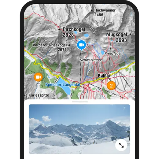
Activités le long du parcours

Sölden, Tirol/Österreich
19.09.2026 – RandonnéeSölden, Tirol/Österreich
14.09.2026 – RandonnéeSölden, Tirol/Österreich
24.08.2026 – Randonnée
Sölden, Tirol/Österreich
22.08.2026 – RandonnéeSölden
05.08.2026 – Randonnée
Sölden, Tirol/Österreich
29.07.2026 – RandonnéeSölden, Tirol/Österreich
12.07.2026 – RandonnéeSölden, Tirolo/Austria
09.07.2026 – Randonnée
Sölden, Tirol/Österreich
05.08.2025 – Randonnée
Parcours populaires à proximité
- 4,6
Vent - Wilder Mann - cabane Breslauer - Stableinalm
moyenRandonnée 7,25 km - 4,7
Parcours circulaire hivernal Brandalm/Burgstein - Längenfeld 204
moyenRandonnées d'hiver 5,44 km - 4,5
Hohe Geige über Gawinden und den Westgrat
difficileRandonnée 14,3 km - 4,4
Rundwanderung Hängebrück3
facileRandonnée 6,32 km - 3,8
Refuge Breslauer
moyenRandonnée 4,75 km - 4,3
Amberger Hütte - Längenfeld/Gries
moyenRandonnée 5,60 km - 4,4
Hochtour Wildspitze, 3.768m
moyenRandonnée d'altitude 9,75 km - 4,9
Seeber-See Rundweg
facileRandonnée en montagne 7,96 km - 3,5
Sentier d'altitude Tiefenbach - village d'alpinisme Vent
moyenRandonnée 10,8 km - 5,0
Obergurgl - Ramolhaus
Randonnée 7 km
Randonnée et suivi


Ne manquez pas les offres et l'inspiration pour vos prochaines vacances
Votre adresse électronique a été ajouté à la liste de diffusion.


