Mittertal - Wetterkreuz
moyen
Télécharge cette visite sur ton portable
Mittertal - Wetterkreuz
moyen
Randonnée
13,44
km
Scanner le code QR et commencer la navigation dans l'application bergfex

Randonnée & tracking


Mittertal - Wetterkreuz
moyen
Distance
13,44
km
Durée
06:30
h
Ascension
890
m
Altitude
1 903 -
2 630
m
Téléchargement de la piste
Mittertal - Wetterkreuz
moyen
Randonnée
13,44
km
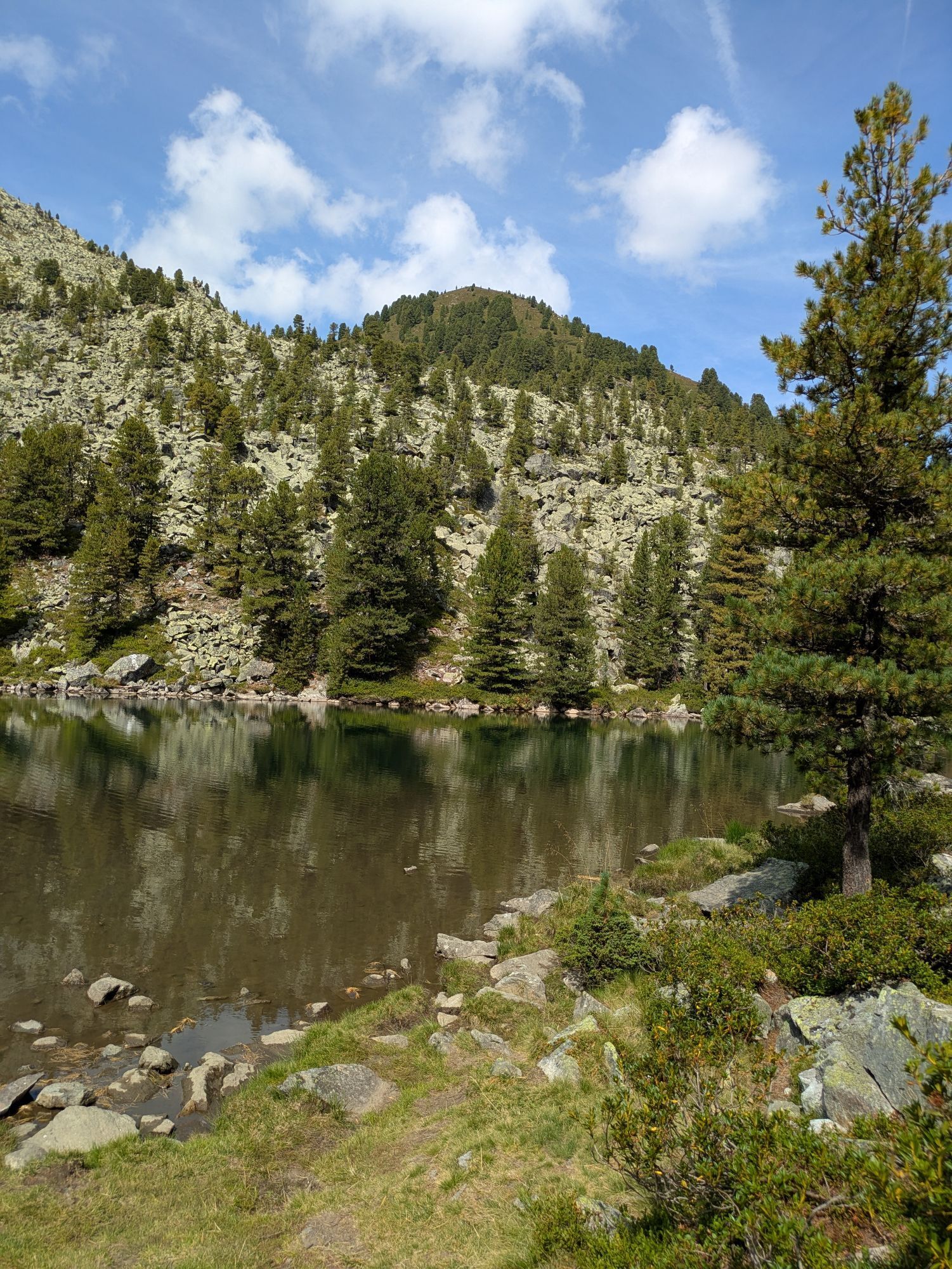
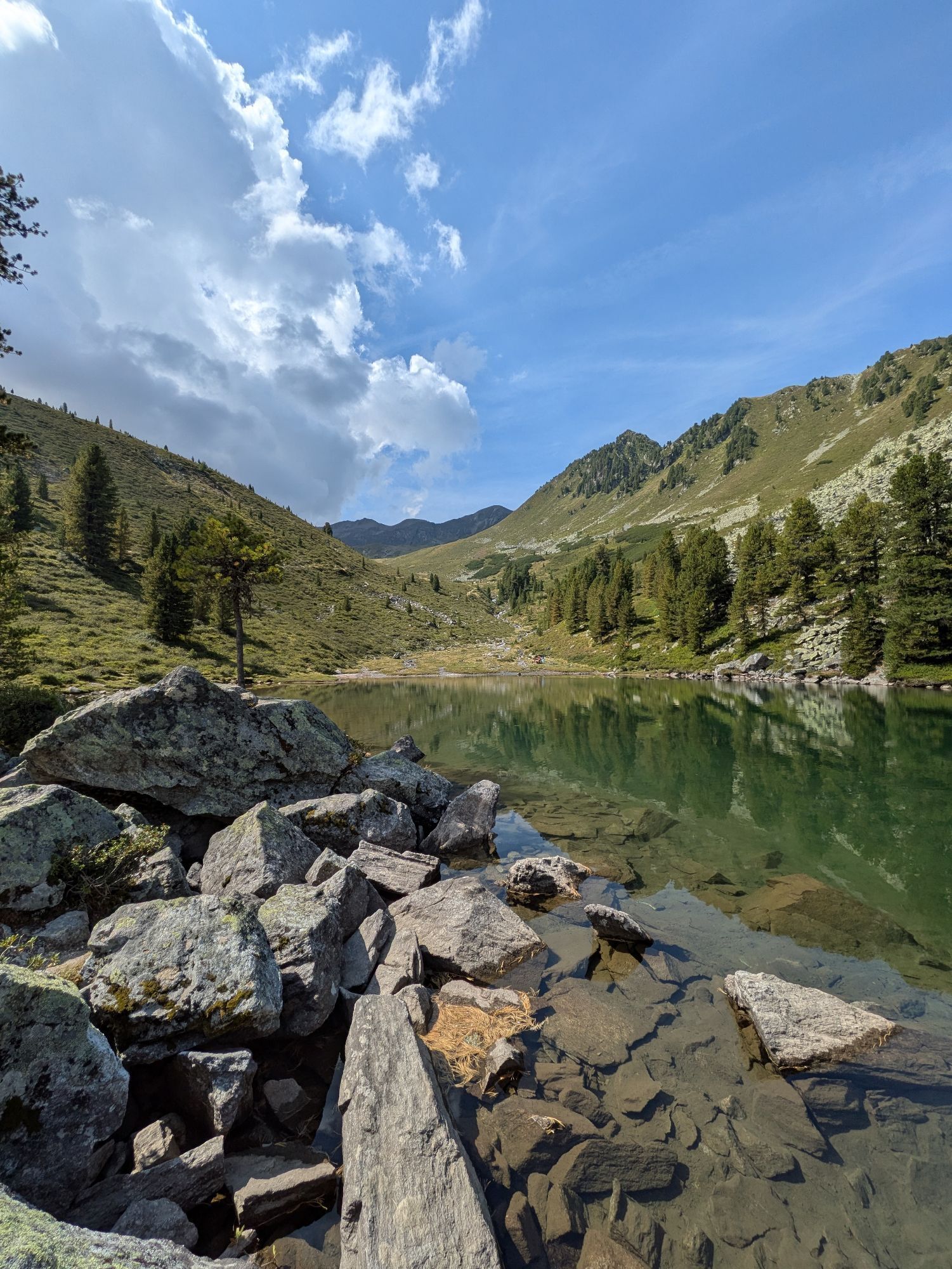
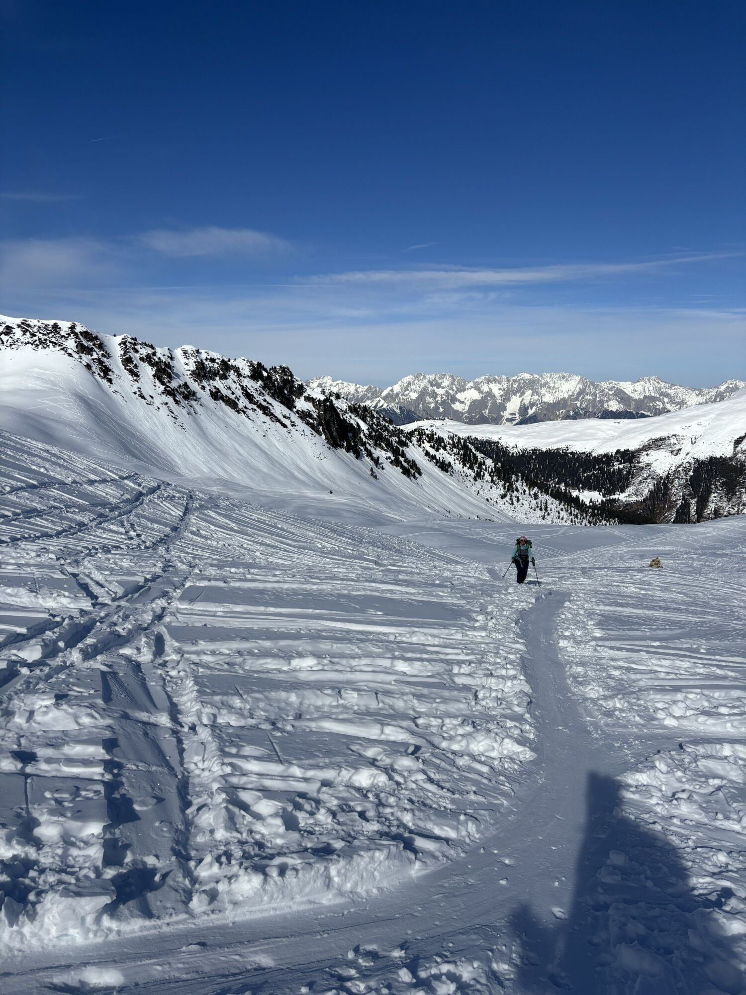
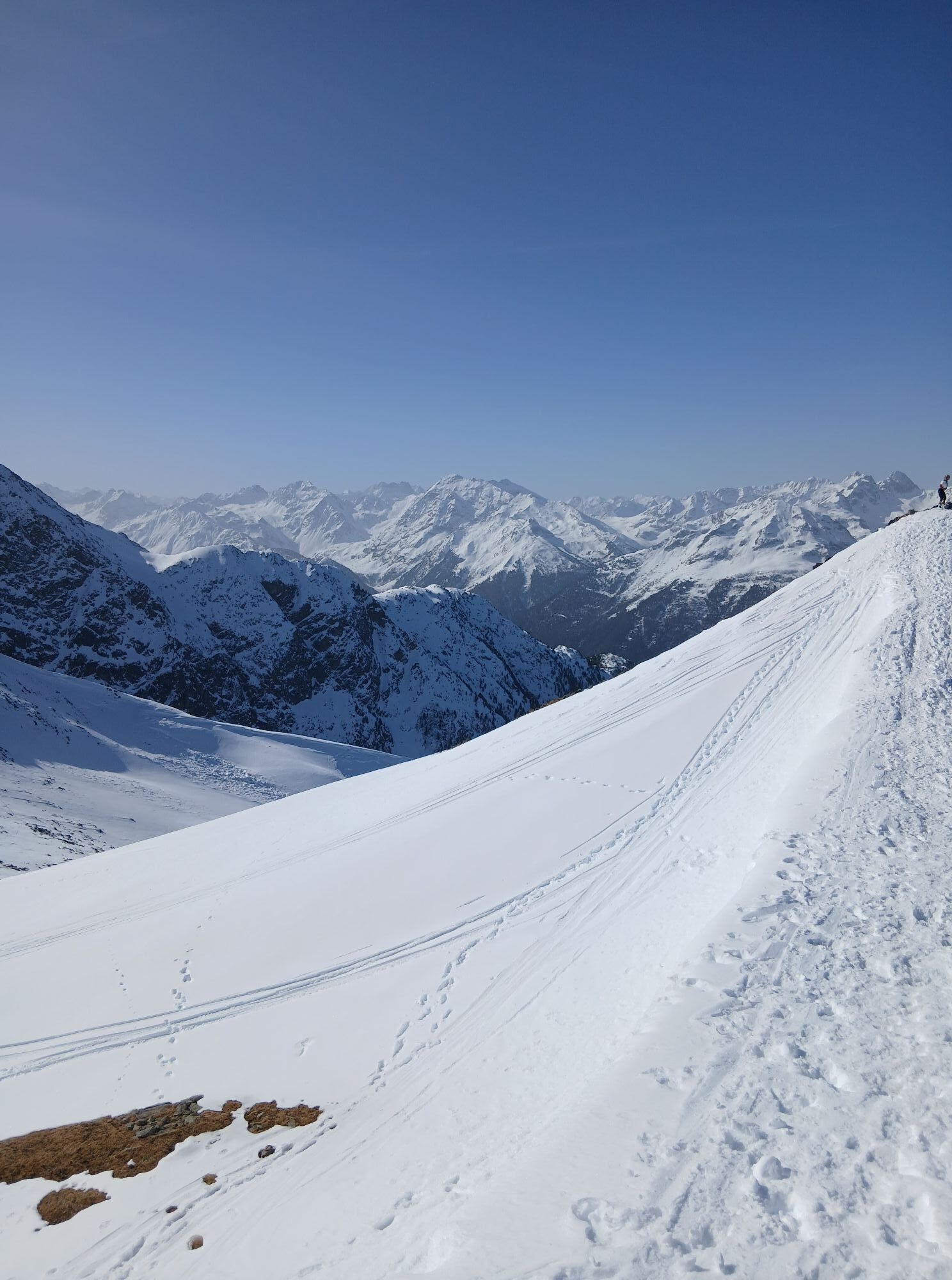
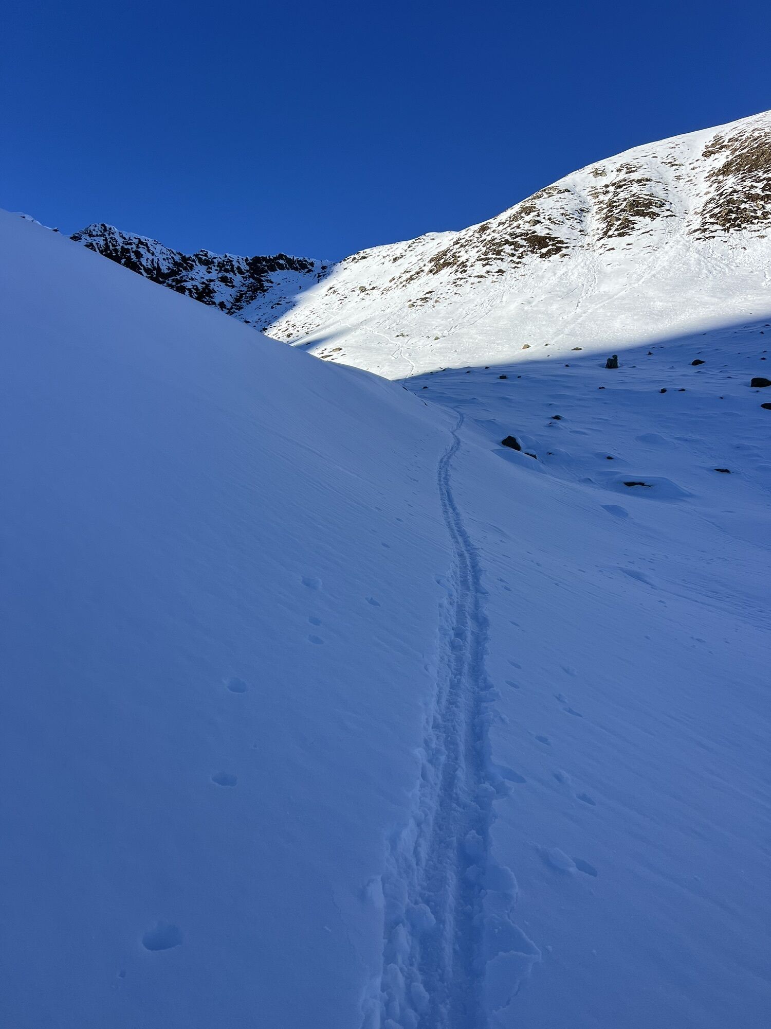
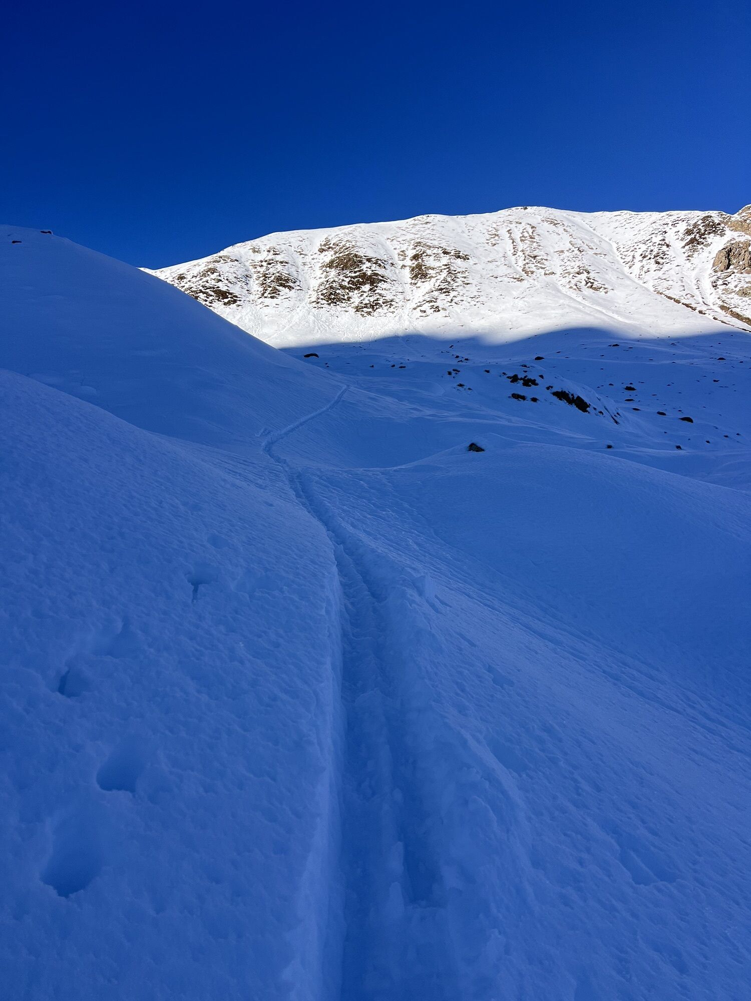
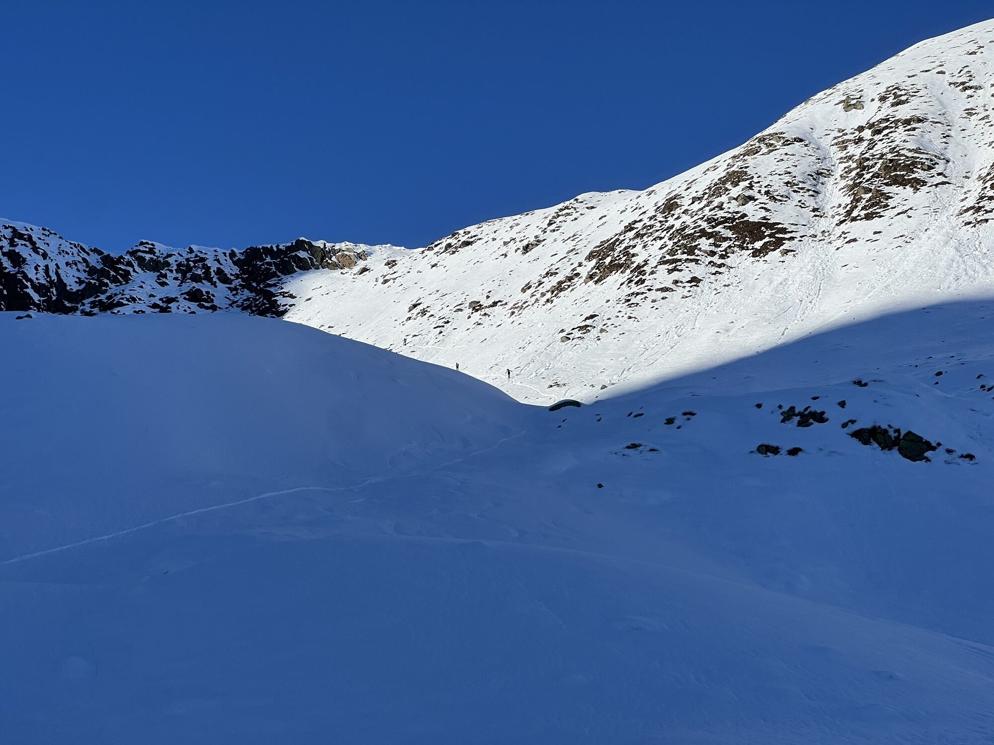
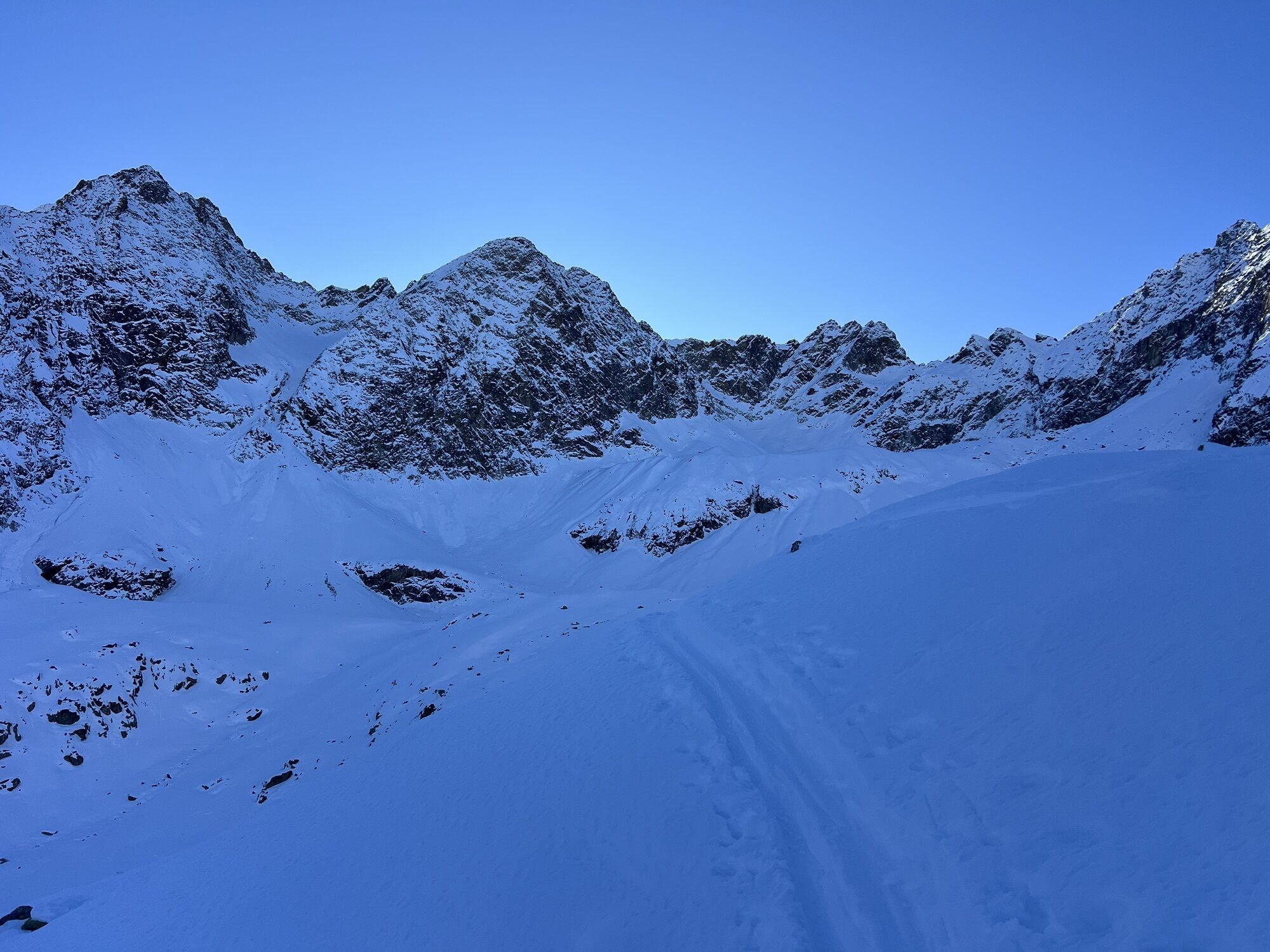
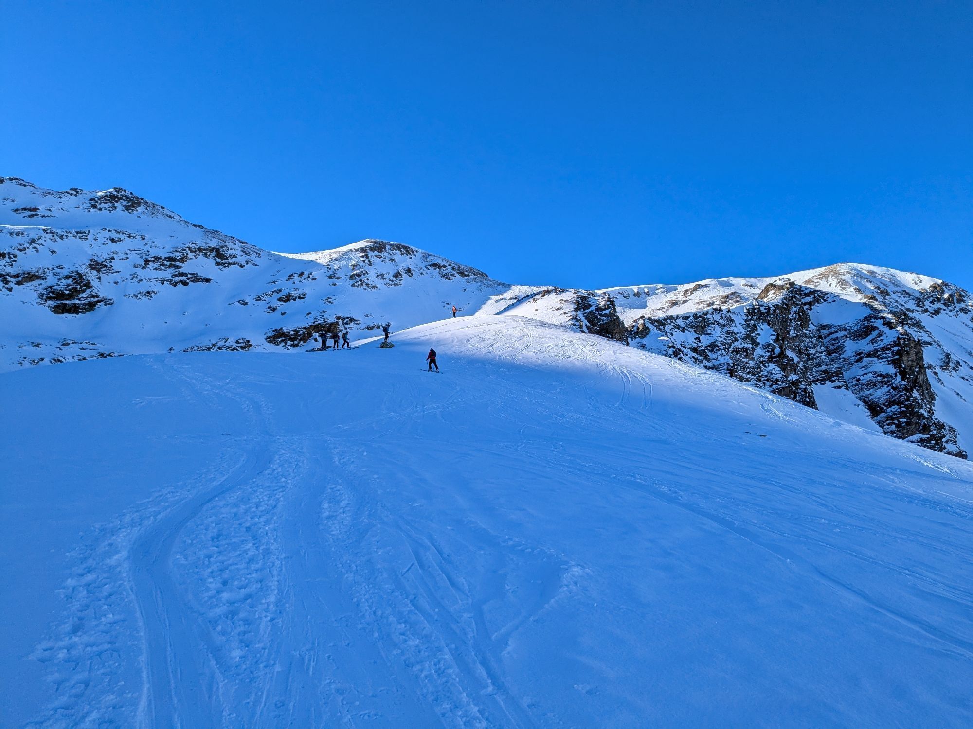

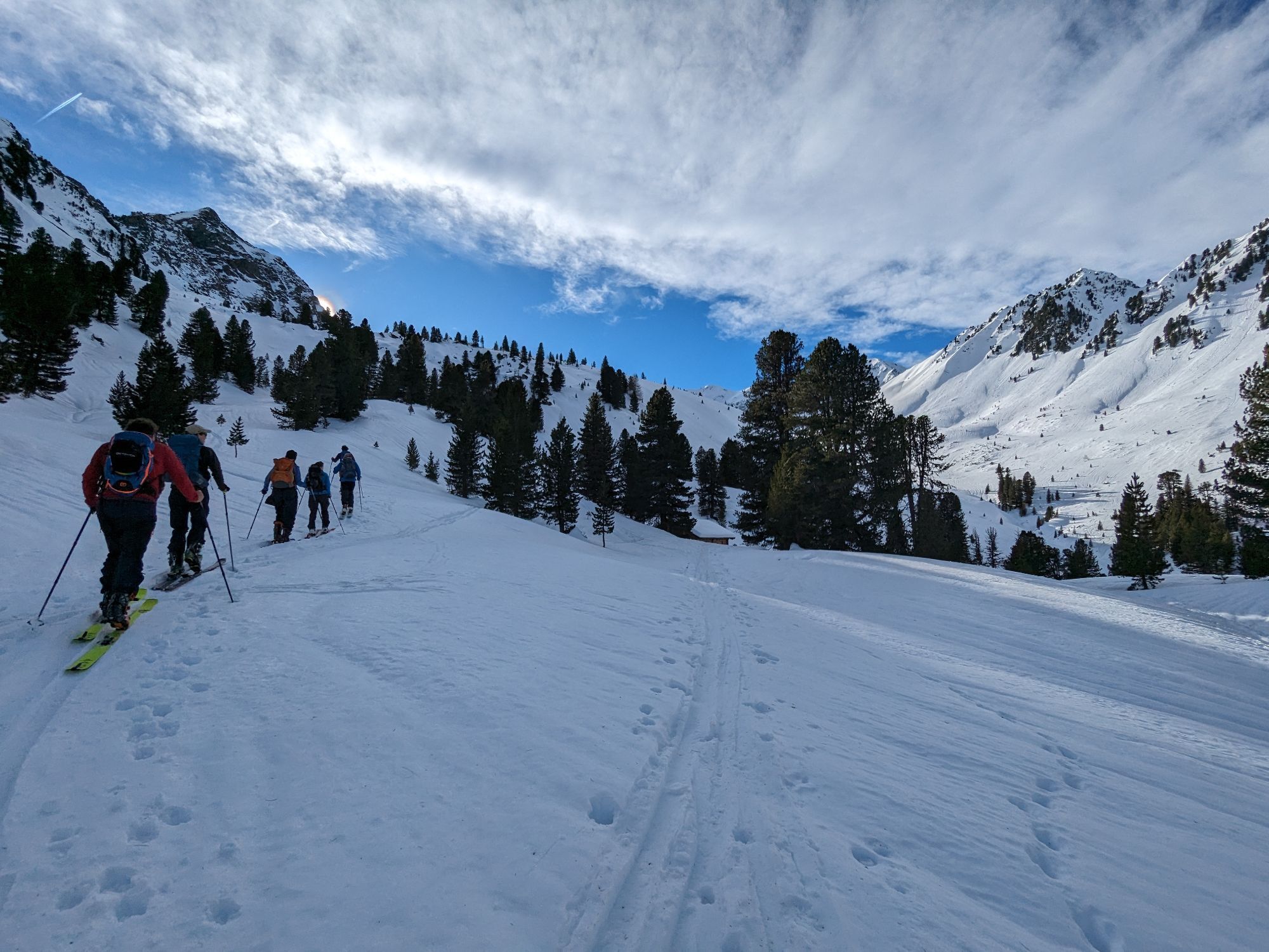
Start at the water reservoir of Kühtai, continue through Mittertal valley towards Mittertaler Scharte ridge to Wetterkreuz. Return through Wörgetal valley to Obere Issalm, then to Mittergrathütte and back...
Description
Start at the water reservoir of Kühtai, continue through Mittertal valley towards Mittertaler Scharte ridge to Wetterkreuz. Return through Wörgetal valley to Obere Issalm, then to Mittergrathütte and back to the starting point.
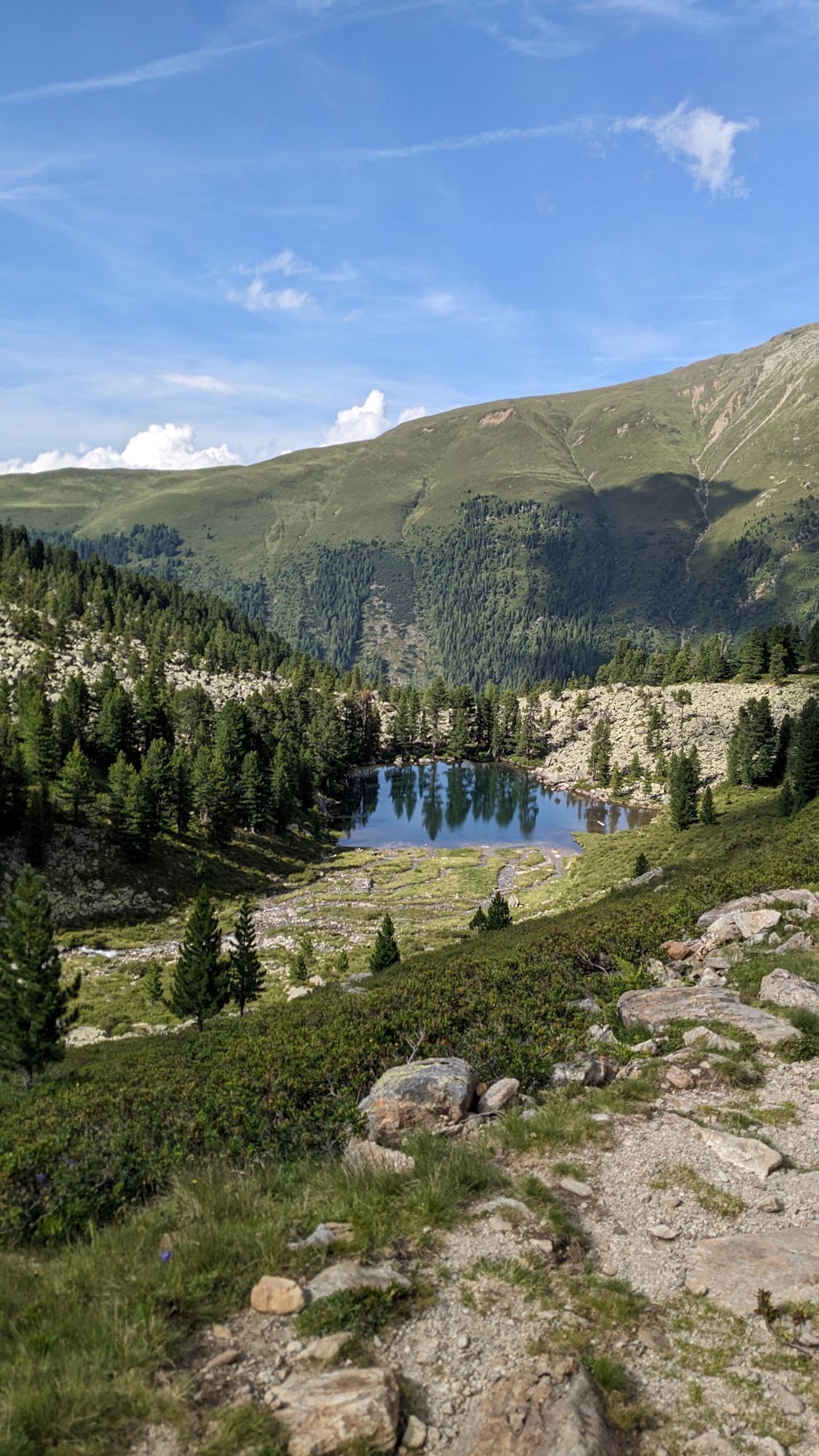
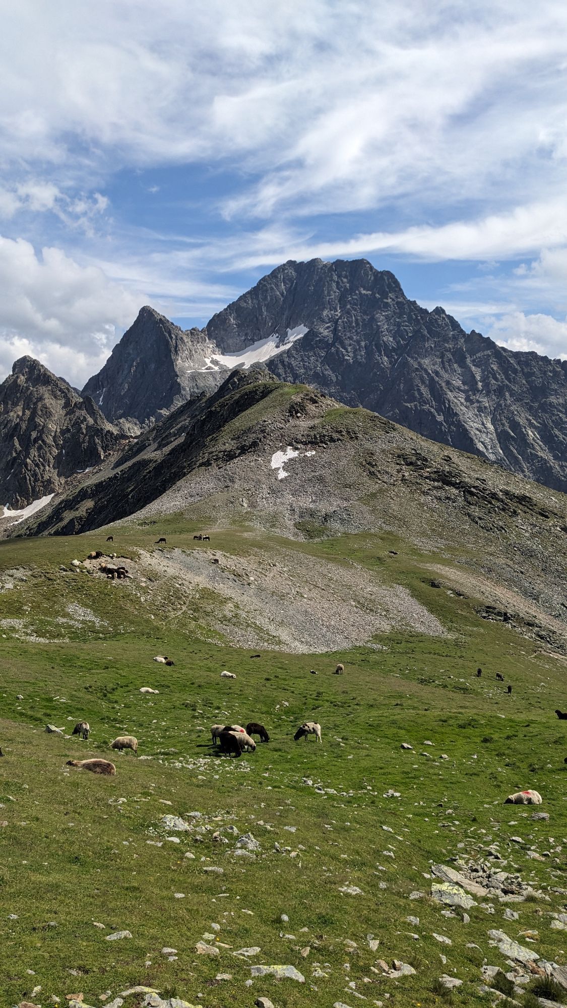
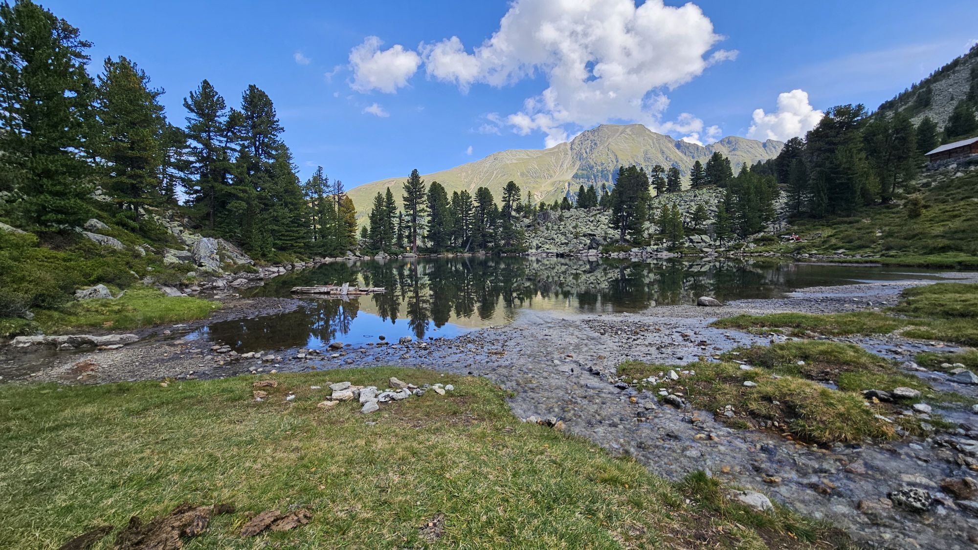
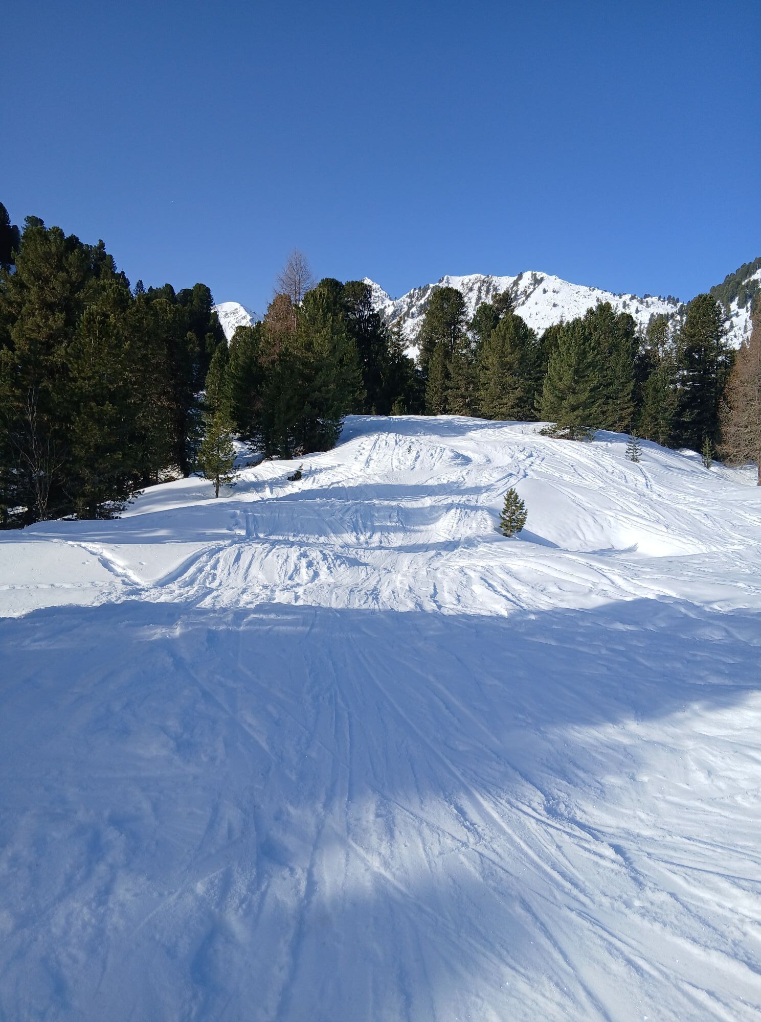
Parcours
Kapelle
(1 957 m)
Lieu de culte
11,5 km
Große Mittergrathütte
(1 951 m)
Refuge (non géré)
11,6 km
Kleine Mittergrathütte
(1 946 m)
Refuge (non géré)
11,6 km
Hemerwaldalm
(1 943 m)
Refuge (non géré)
11,6 km
Parcours
Mittertal - Wetterkreuz
moyen
Randonnée
13,44
km

Informations sur l'itinéraire
Parcours
Start at the water reservoir of Kühtai, continue through Mittertal valley towards Mittertaler Scharte ridge to Wetterkreuz. Return through Wörgetal valley to Obere Issalm, then to Mittergrathütte and back to the starting point.
Équipement
It is recommended to wear hiking equipment such as breathable and weather-adapted outdoor clothing, ankle-high mountain boots, wind, rain and sun protection, cap and possibly gloves. It is also important to have enough food, as well as a first-aid package, a cell phone and a hiking map.
Informations sur l'itinéraire
Itinéraire
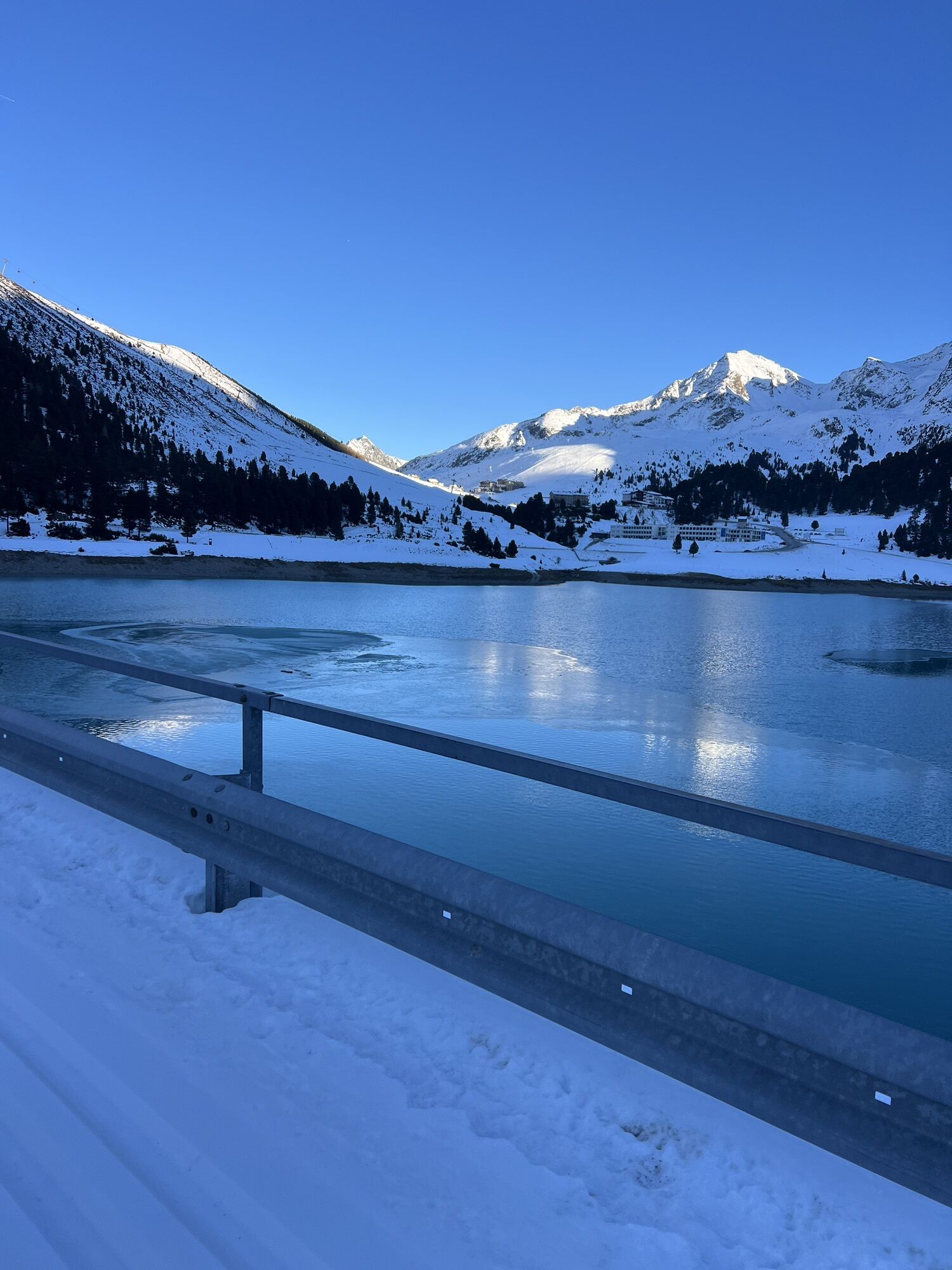
Kühtai is located in the western part of Austria. It is reachable from the Inntal and the Ötztal. For your arrival by car, you can plan the best route from your home town with the route planner online at https://www.google.at/maps
Transports en commun
Reisen Sie mit der Bahn komfortabel und sicher zur Bahnhof-Station Ötztal. Endstation bzw. Ausstiegspunkt ist der Bahnhof ÖTZTAL. Anschließend fahren Sie bequem und schnell mit dem öffentlichen Linienverkehr oder den örtlichen Taxiunternehmen durch das gesamte Tal zu Ihrem Wunschziel! Den aktuellen Busfahrplan gibt’s unter: http://fahrplan.vvt.at
Parking
Kühtai Hochalterbahn
Évaluations
Parcours populaires à proximité
- 4,2
Randonnée Stuibenfall - Umhausen
facileRandonnée 2,95 km - 4,4
Randonnée circulaire Stuibenfall Umhausen
facileRandonnée 9,32 km - 4,5
Oetz - Lac Piburger - Oetz
moyenRandonnée 7,16 km - 4,3
Lampsenspitze, Sellrain, Tirol
moyenSki de randonnée 4,97 km - 4,4
Hundstalsee
moyenRandonnée 7,35 km - 4,1
Arzkasten - Lehnberghaus
facileRandonnée 3,08 km - 4,6
Umhausen - Stuibenfall - Umhausen
moyenRandonnée 7,94 km - 4,5
Ascension au sommet de la croix du Wetter à Hochoetz
moyenRandonnée 3,06 km - 4,7
Randonnée circulaire Bergmahderweg - Niederthai
facileRandonnée 7,60 km - 4,6
Randonnée au sommet Faltegartenköpfl
moyenRandonnée 4,04 km
Randonnée et suivi

Plus de 550.000 propositions de circuits, des cartes détaillées et un planificateur d'itinéraire intuitif font de cette application un must pour tous les passionnés de nature.

Ne manquez pas les offres et l'inspiration pour vos prochaines vacances
S'inscrire à la newsletter
Erreur
Une erreur s'est produite. Veuillez réessayer.Merci pour votre inscription
Votre adresse électronique a été ajouté à la liste de diffusion.
Parcours en Europe
Autriche Suisse Allemagne Italie Slovénie France Pays-Bas Belgique Pologne Liechtenstein République tchèque Slovaquie Espagne Croatie Bosnie-Herzégovine Luxembourg Andorre Portugal Islande Royaume-Uni Irlande Grèce Albanie Macédoine du Nord Malte Norvège Monténégro Moldavie Kosovo Hongrie Saint-Marin Roumanie Estonie Lettonie Bélarus Chypre Lituanie Serbie Bulgarie Monaco Danemark Suède Finlande