







Sonnenkogel - Friedrichshafener lodge

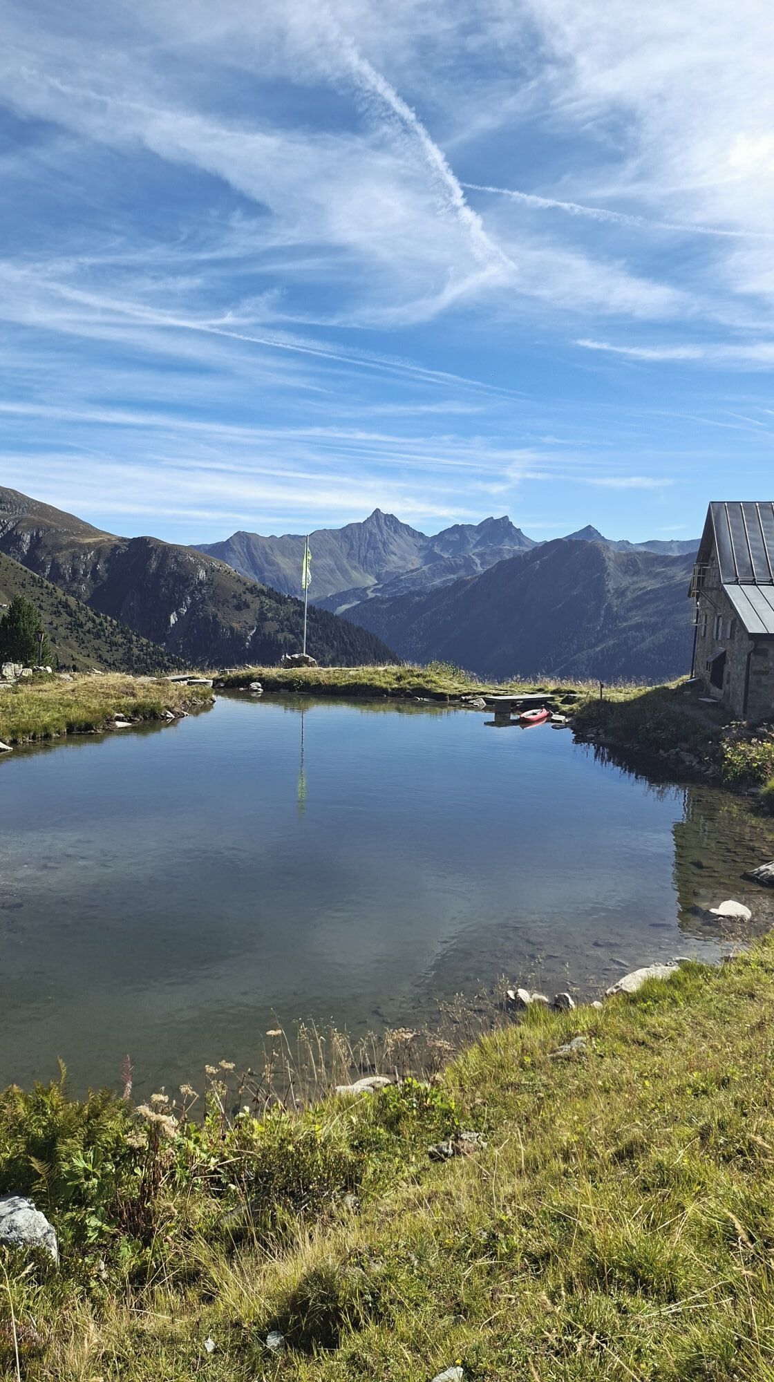
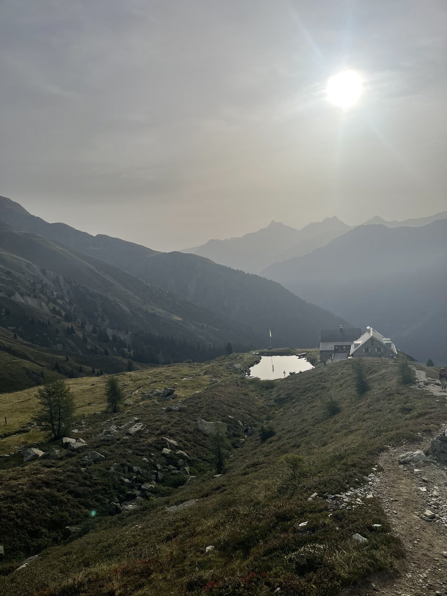
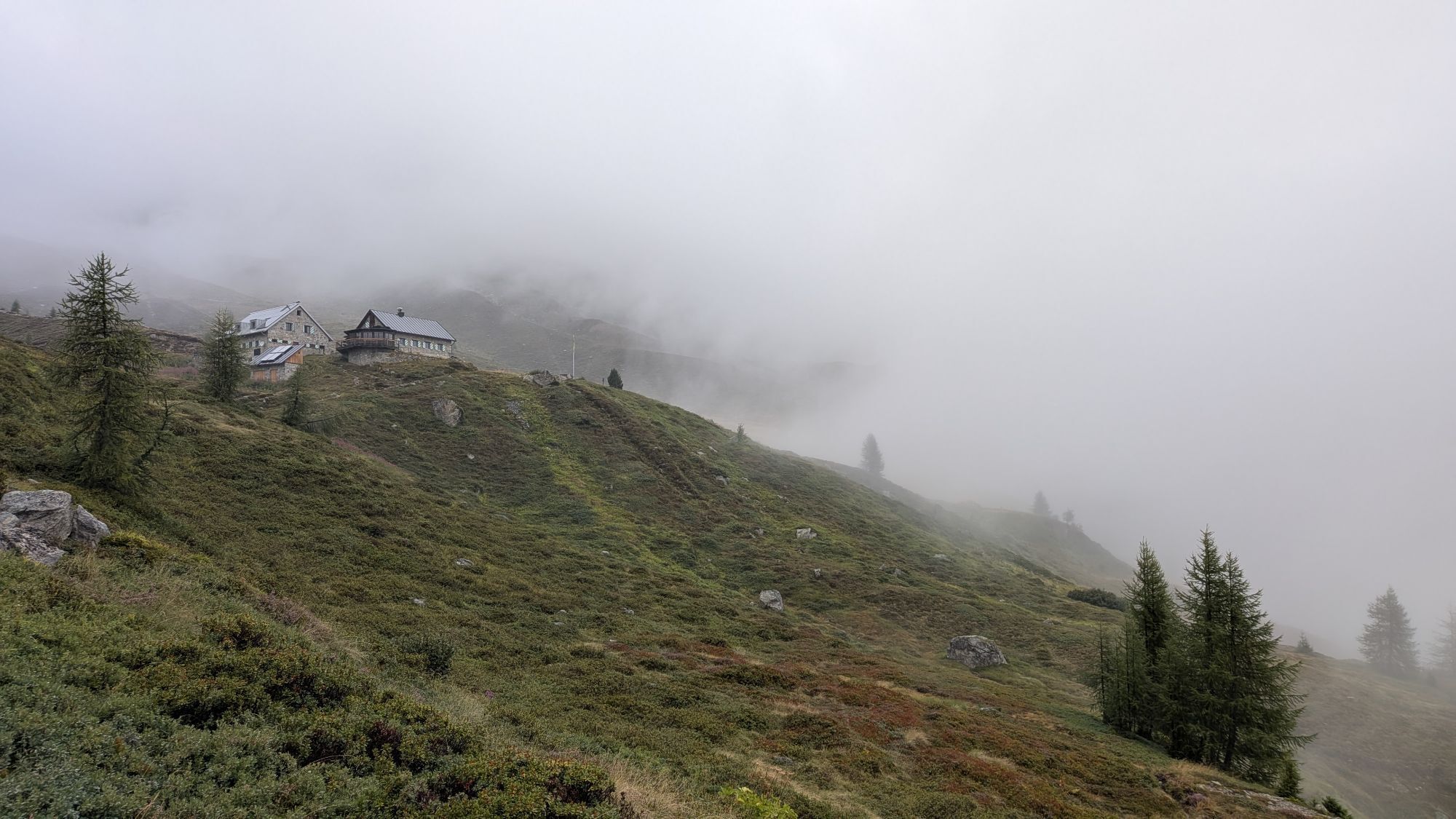
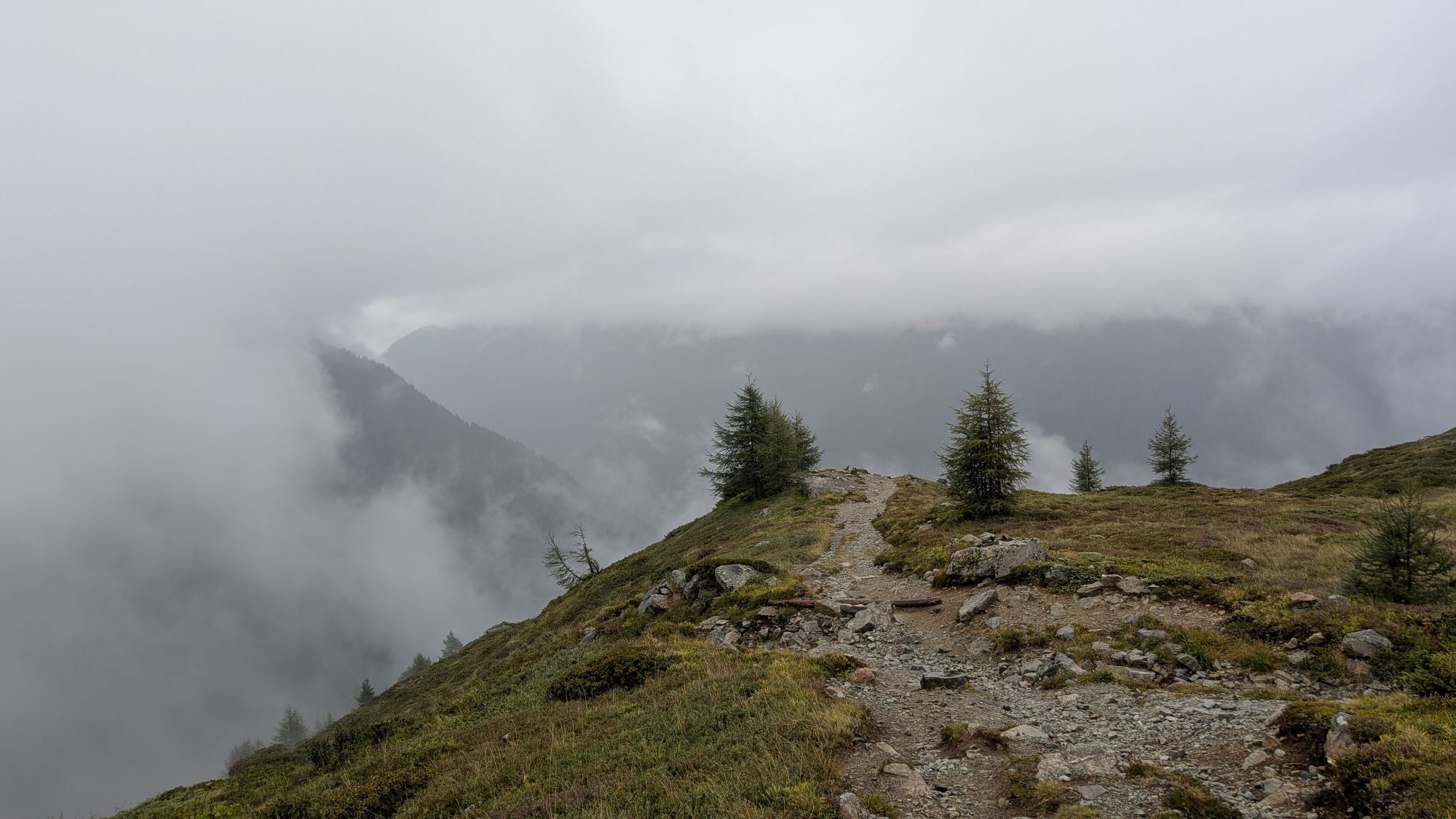
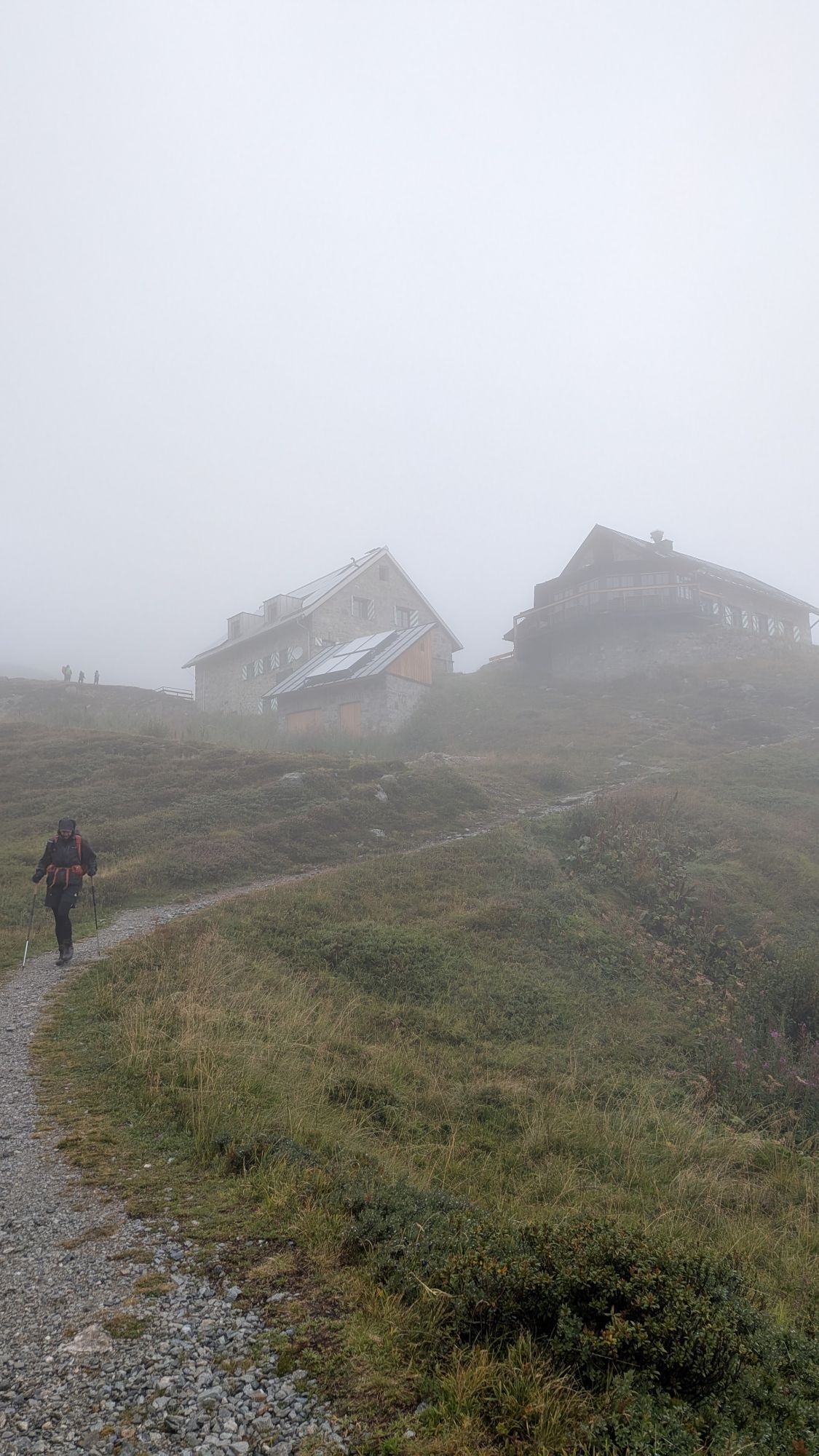
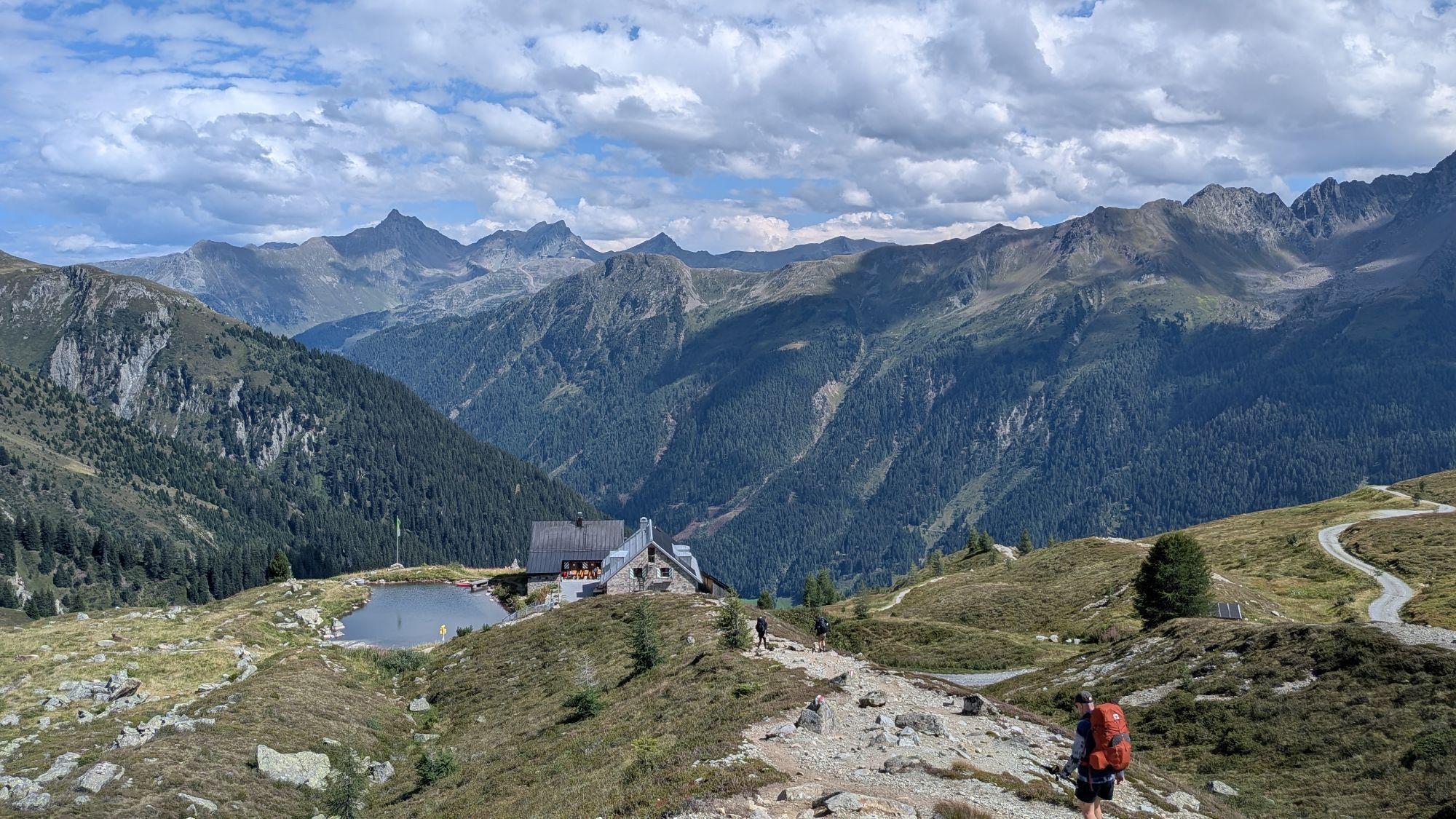
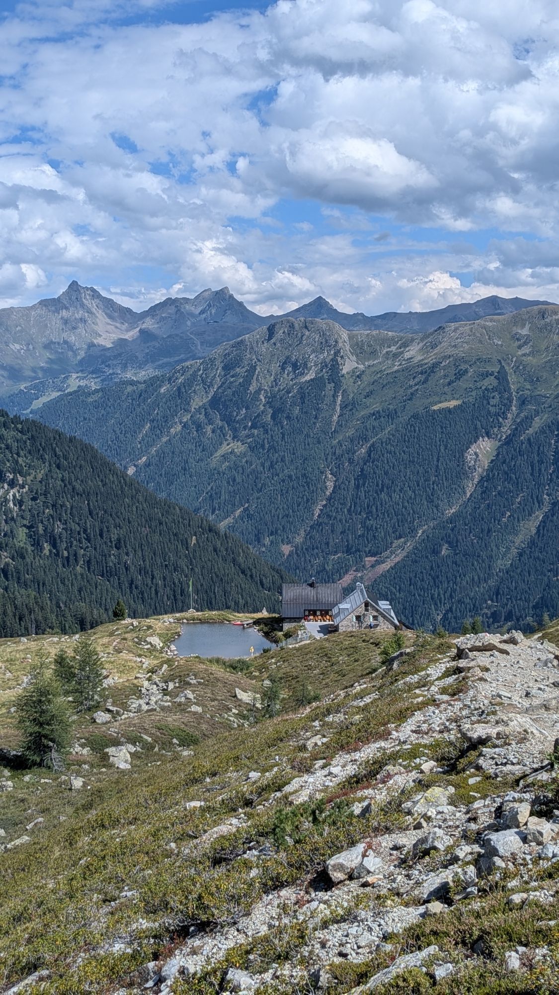
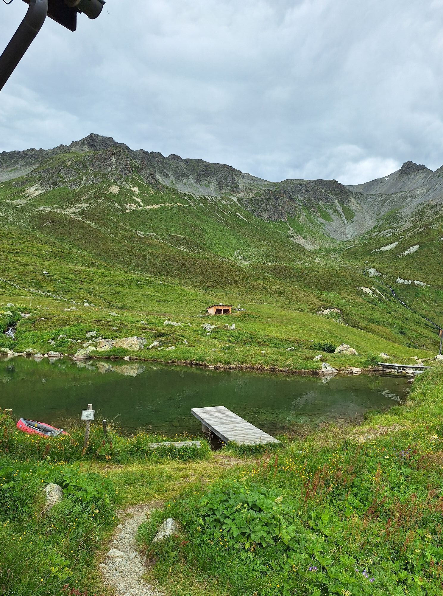
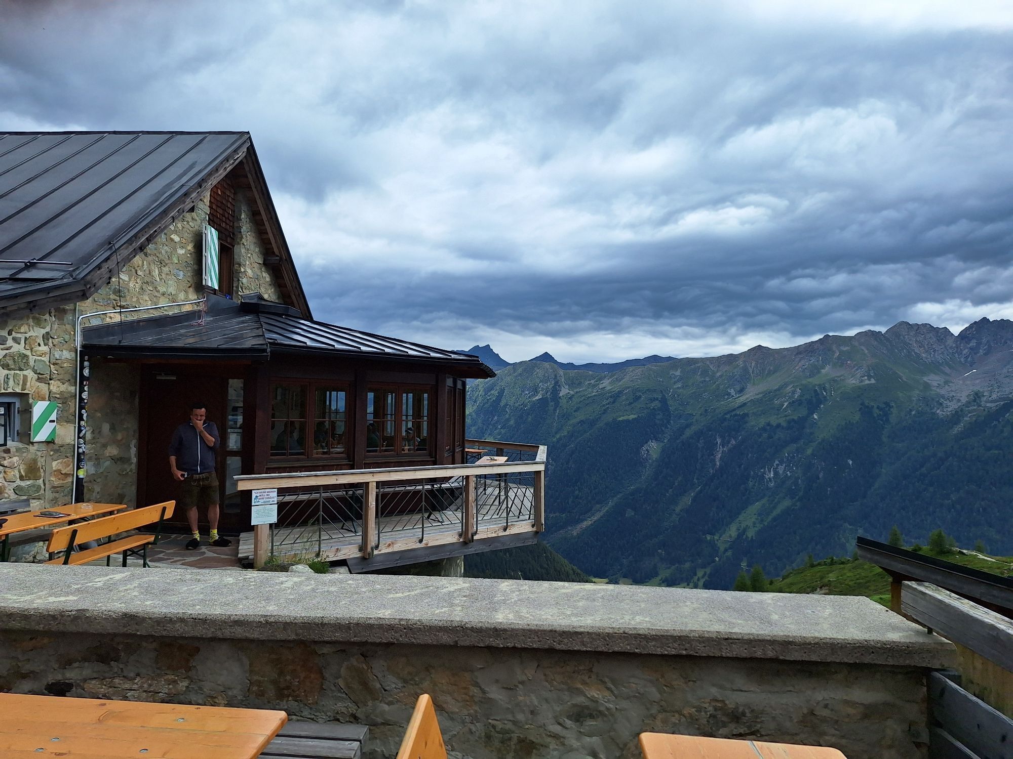
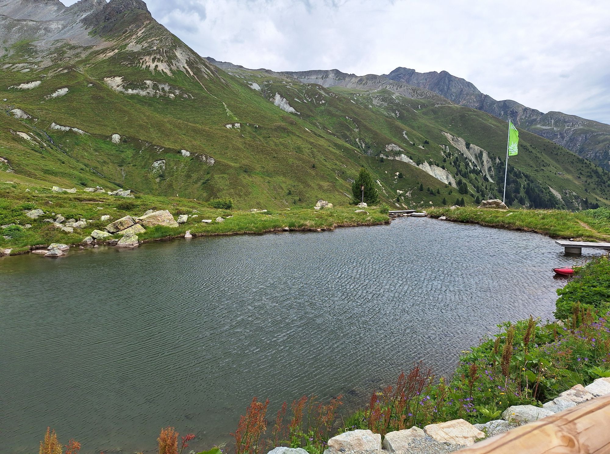
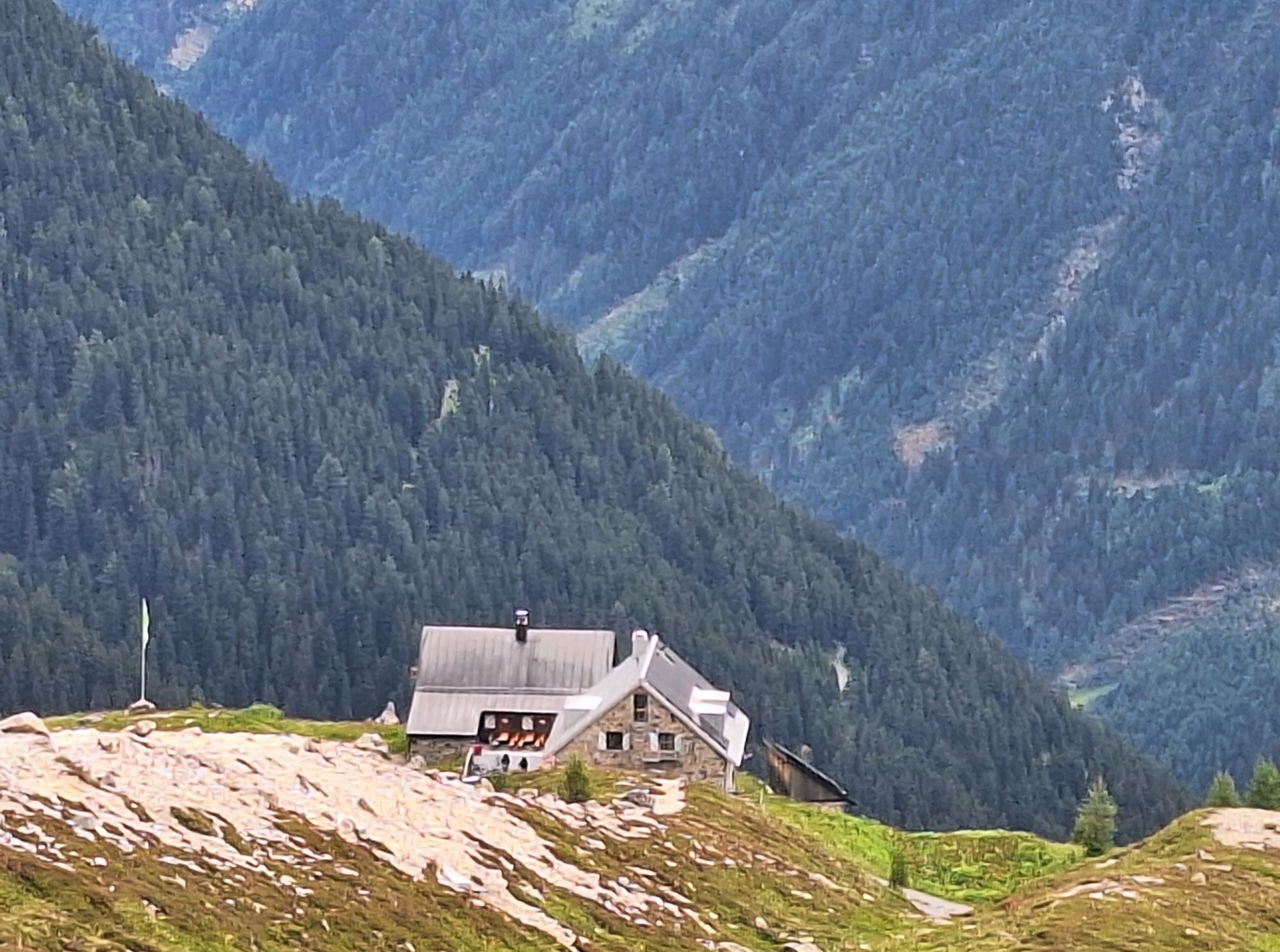
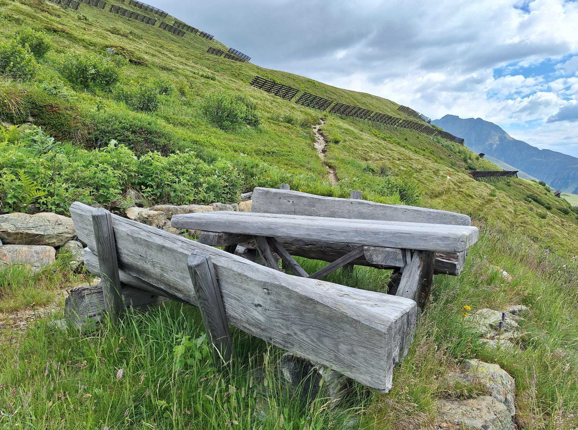
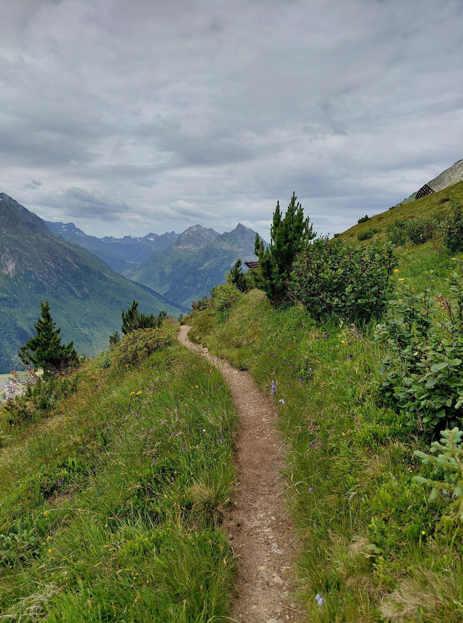
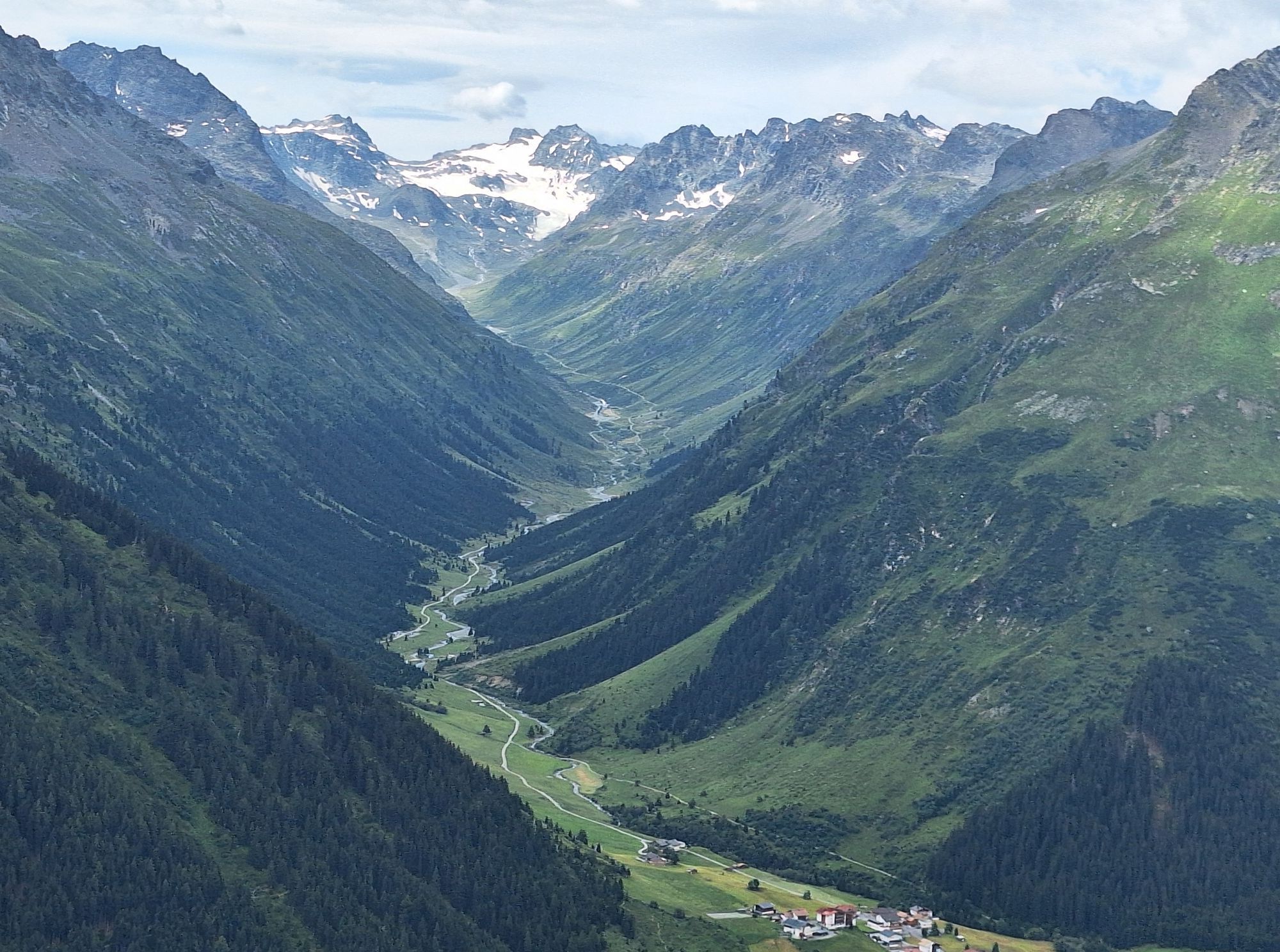
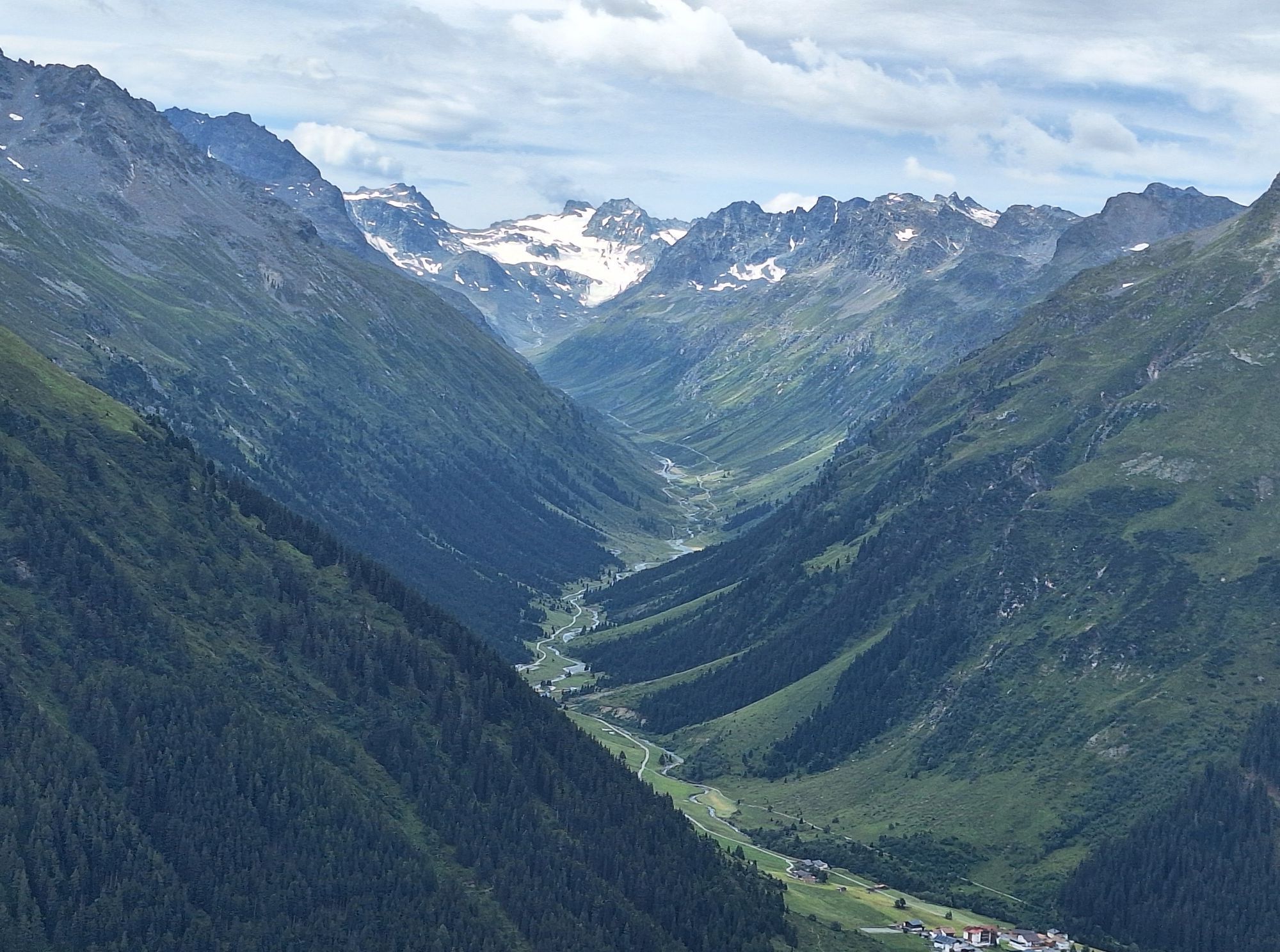
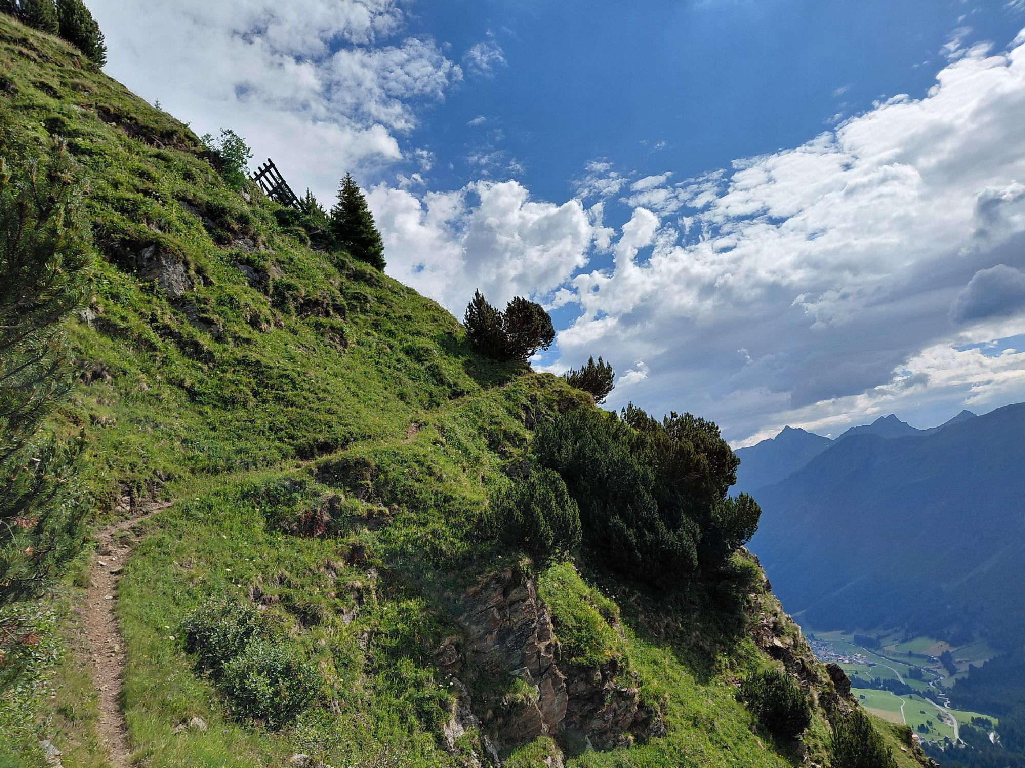
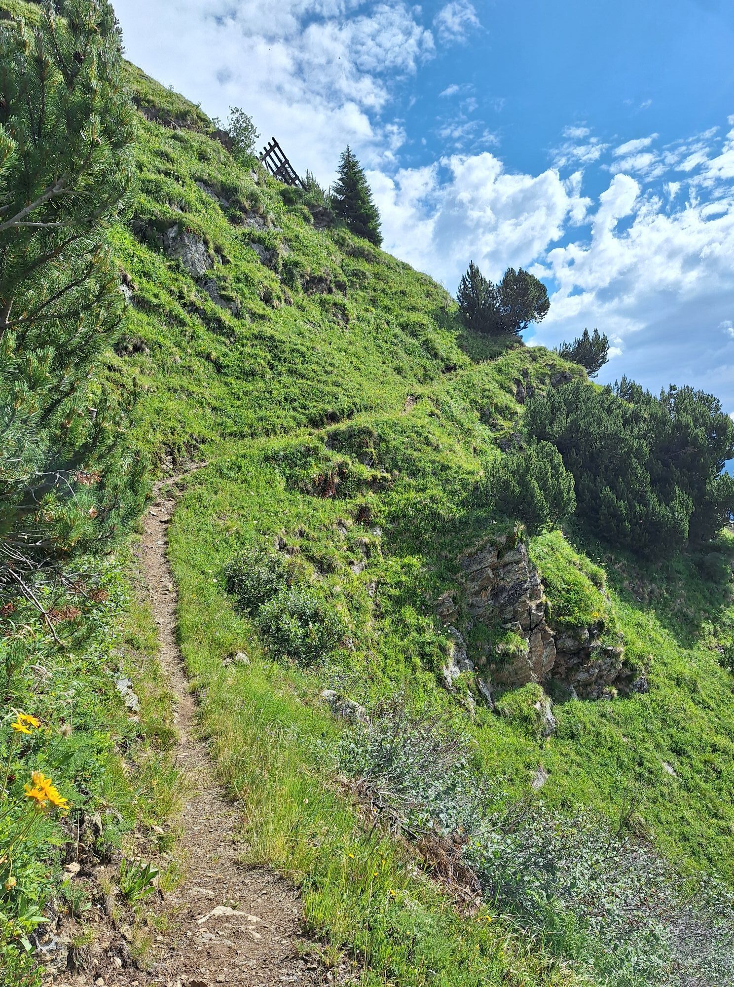
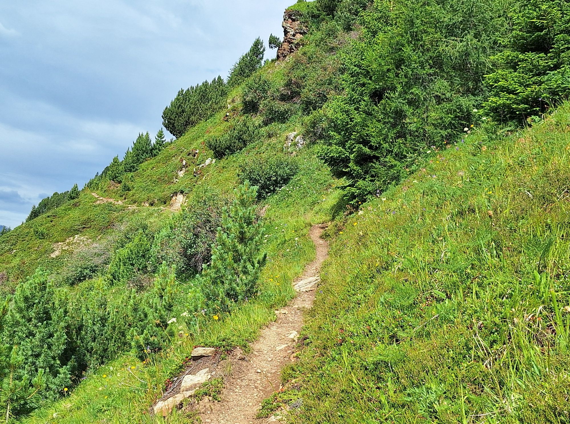
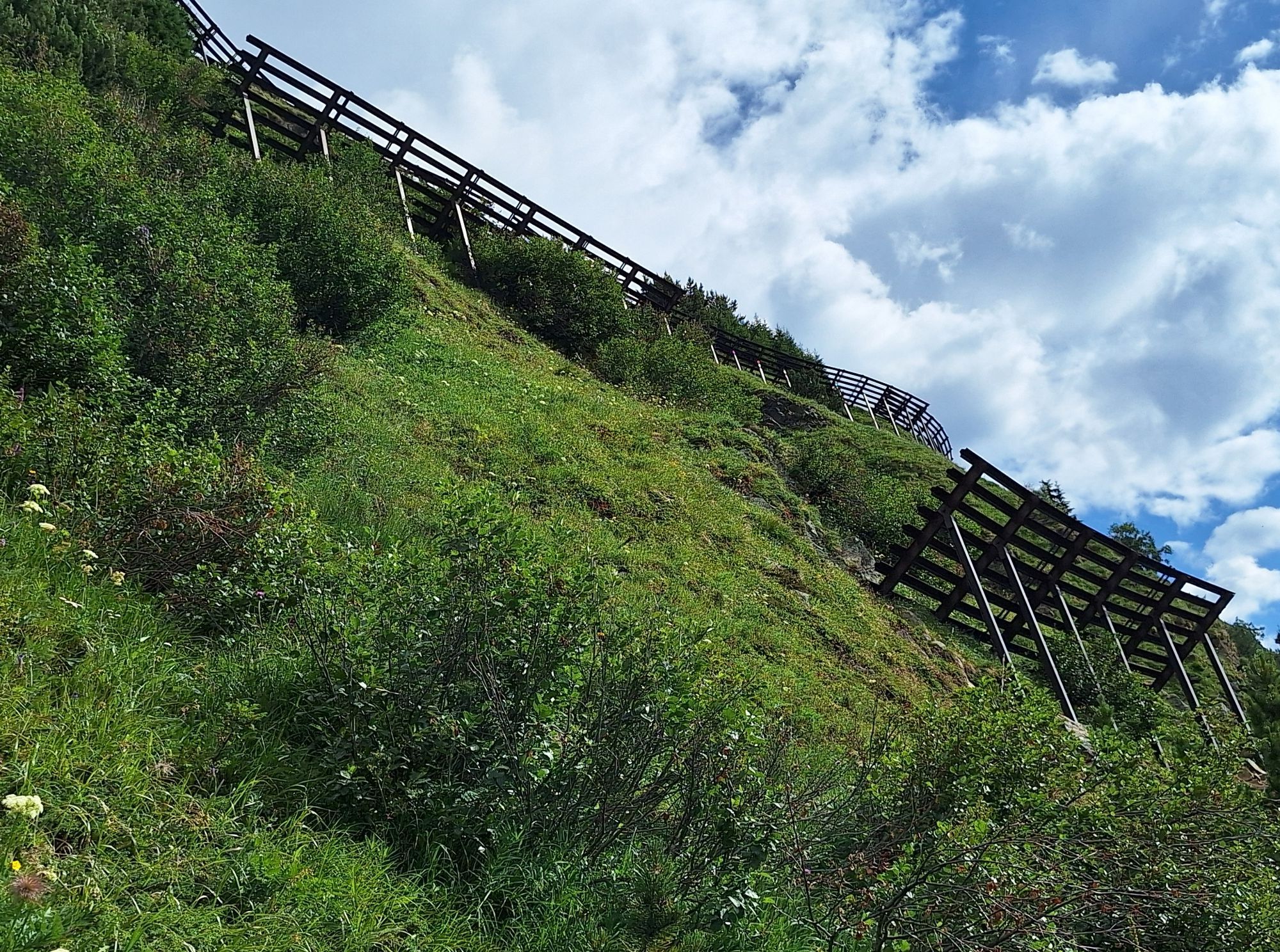
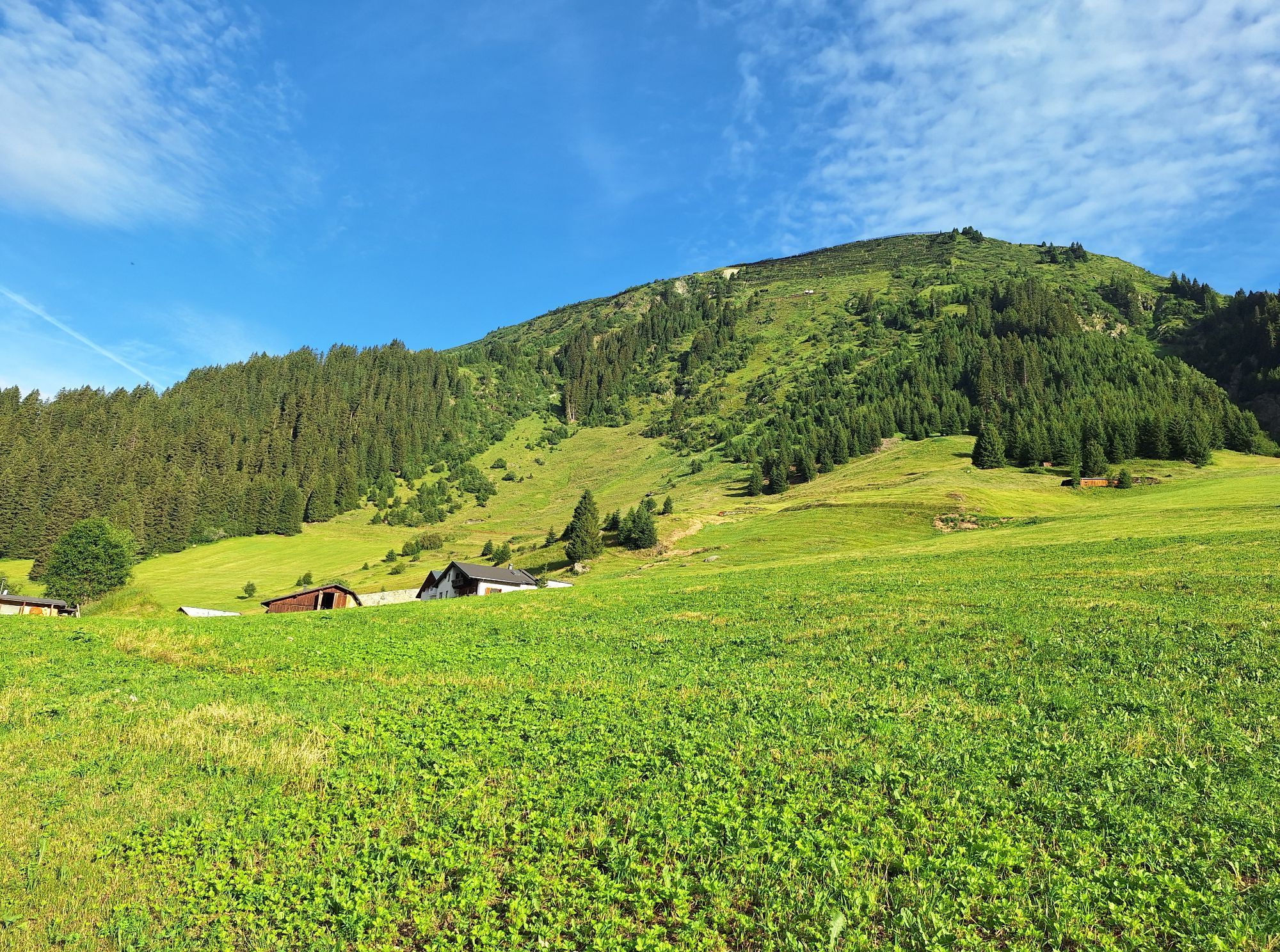
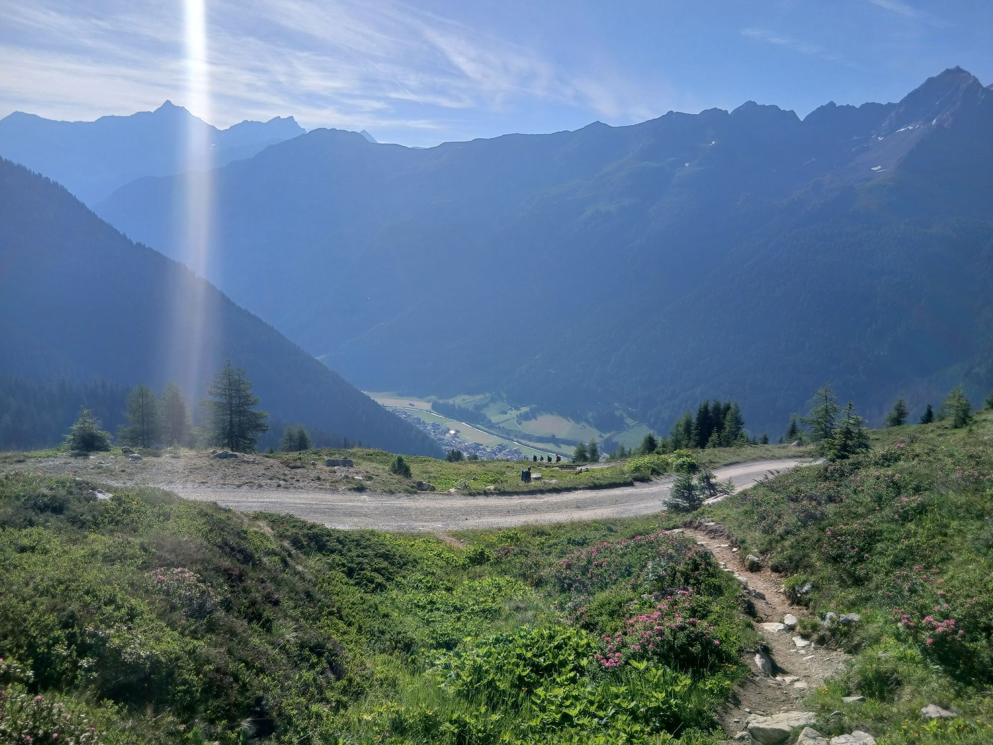
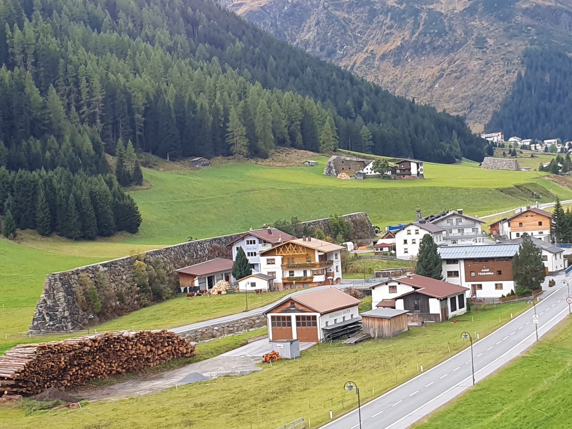

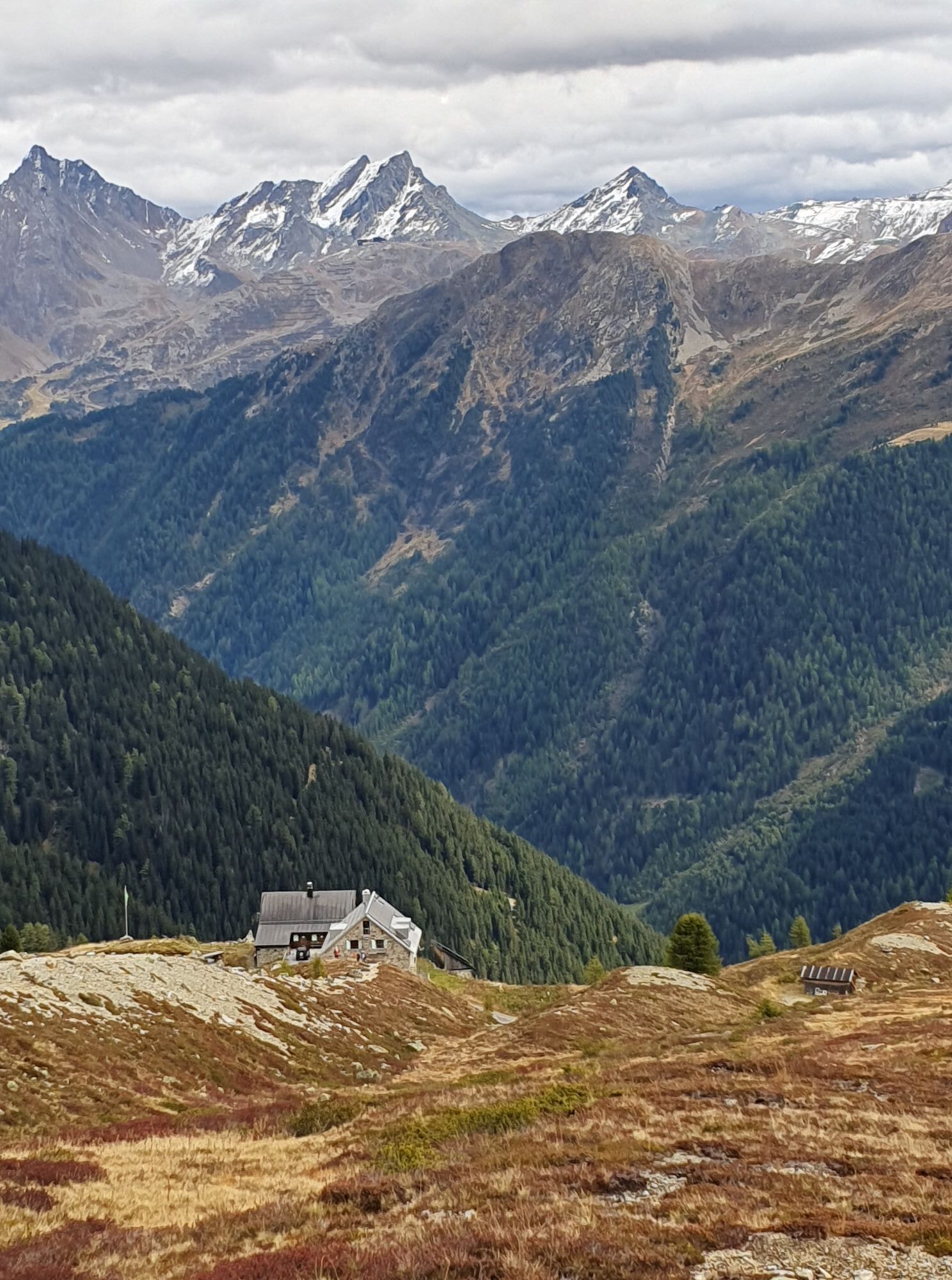
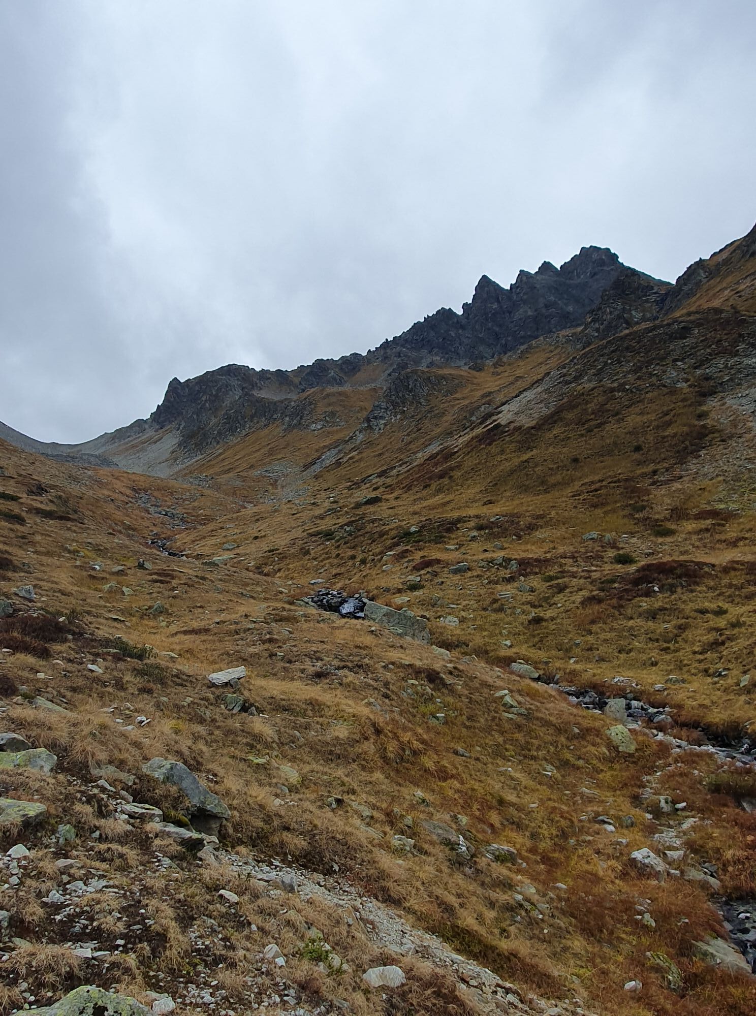
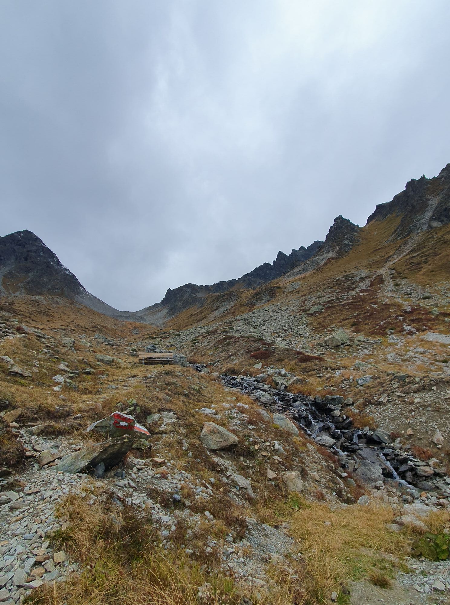
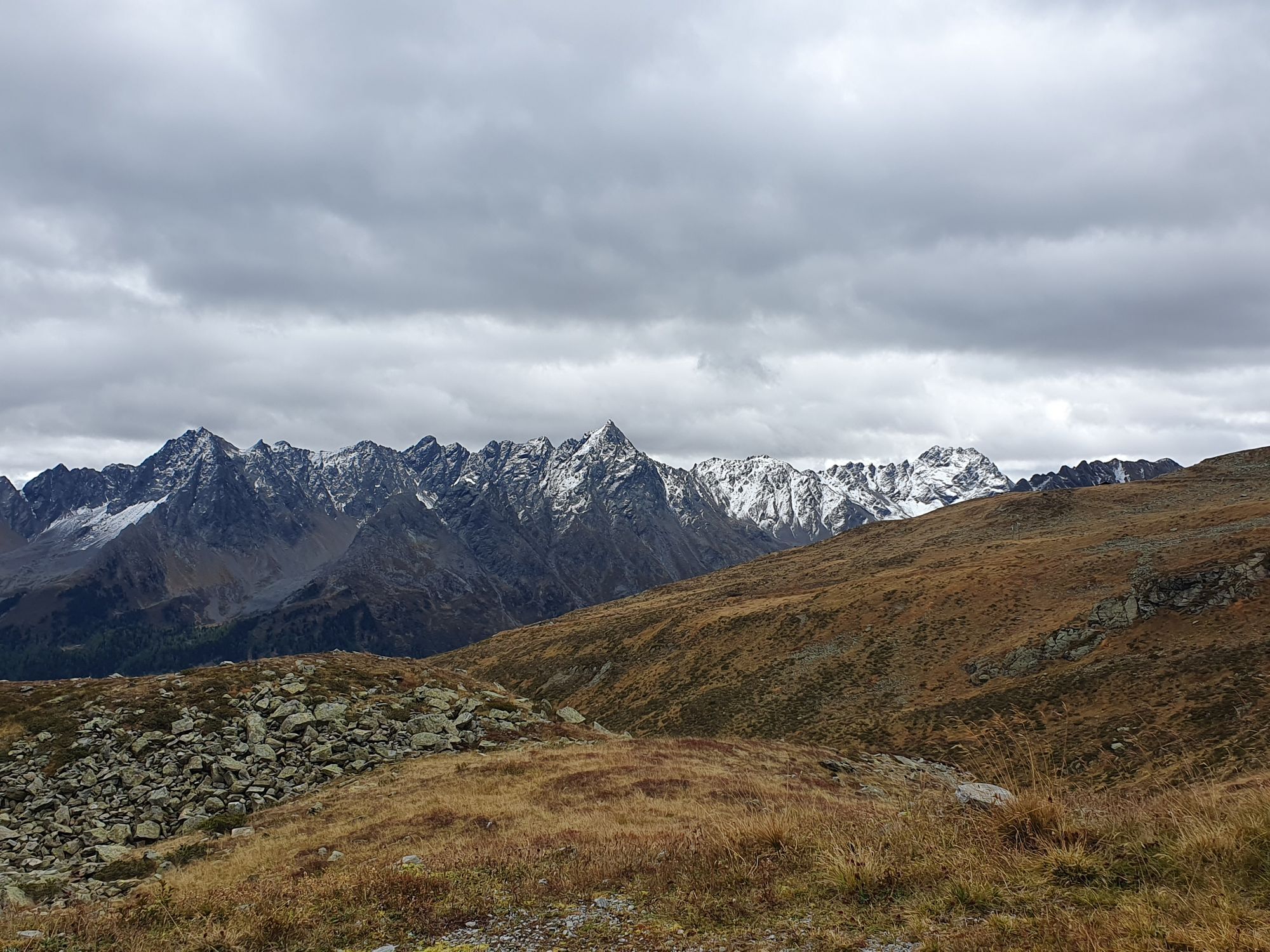


Coming from the village square in Galtür cross the bridge at Vermuntbach. Then follow the route to the left, climbing to the branch-off section which has a signpost for Sonnenkogel. From here the hike...
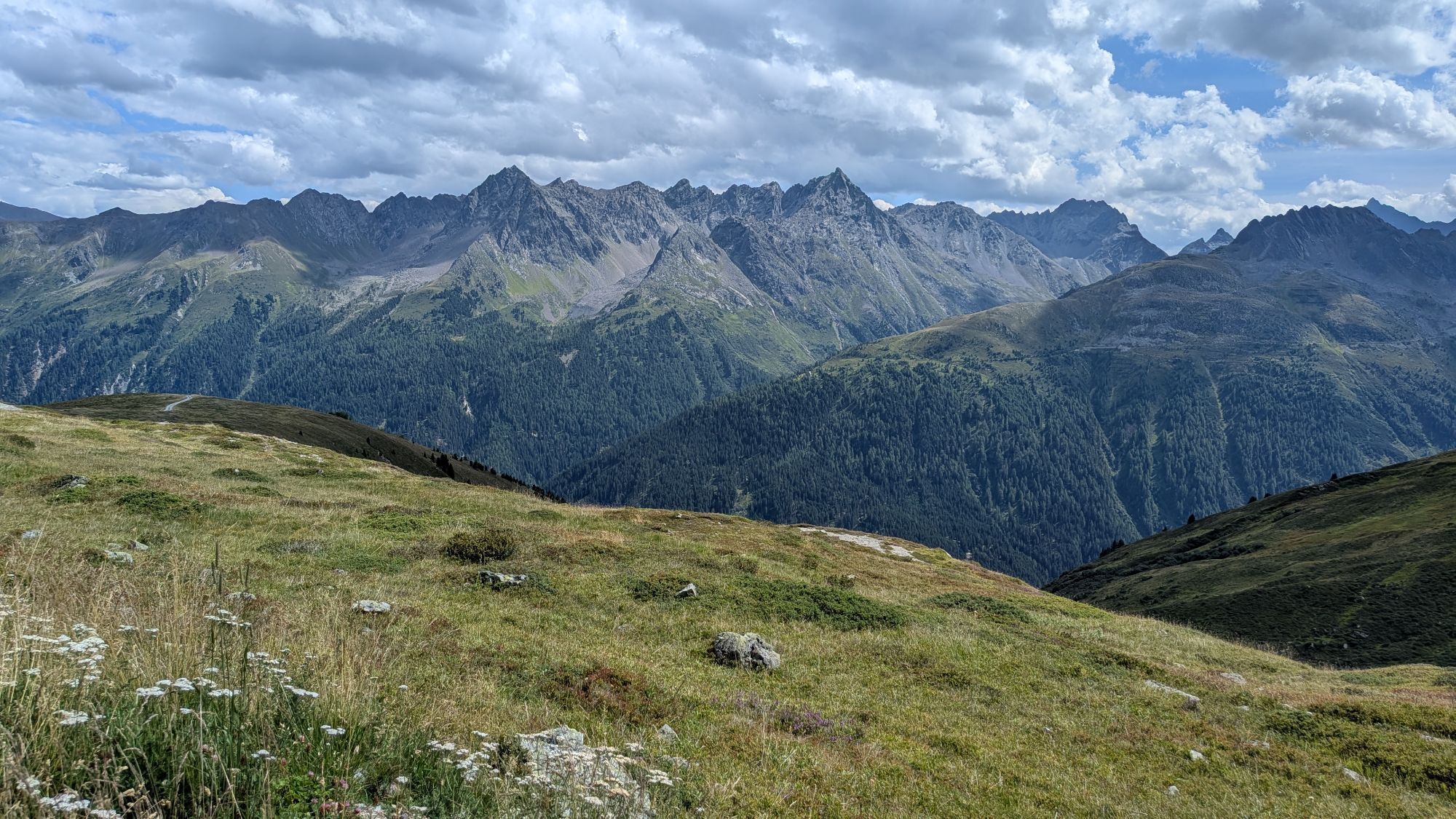
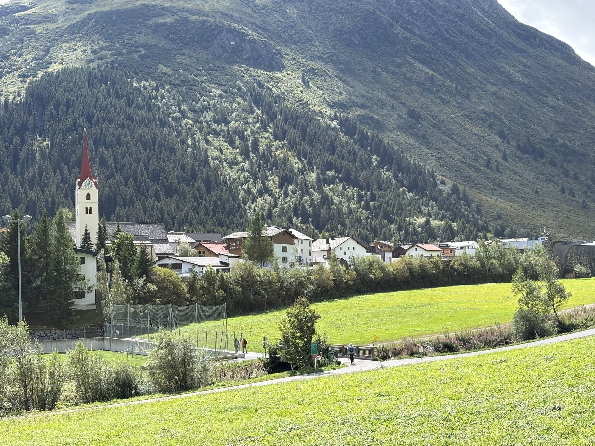
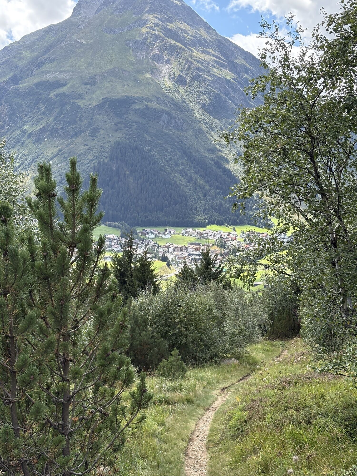
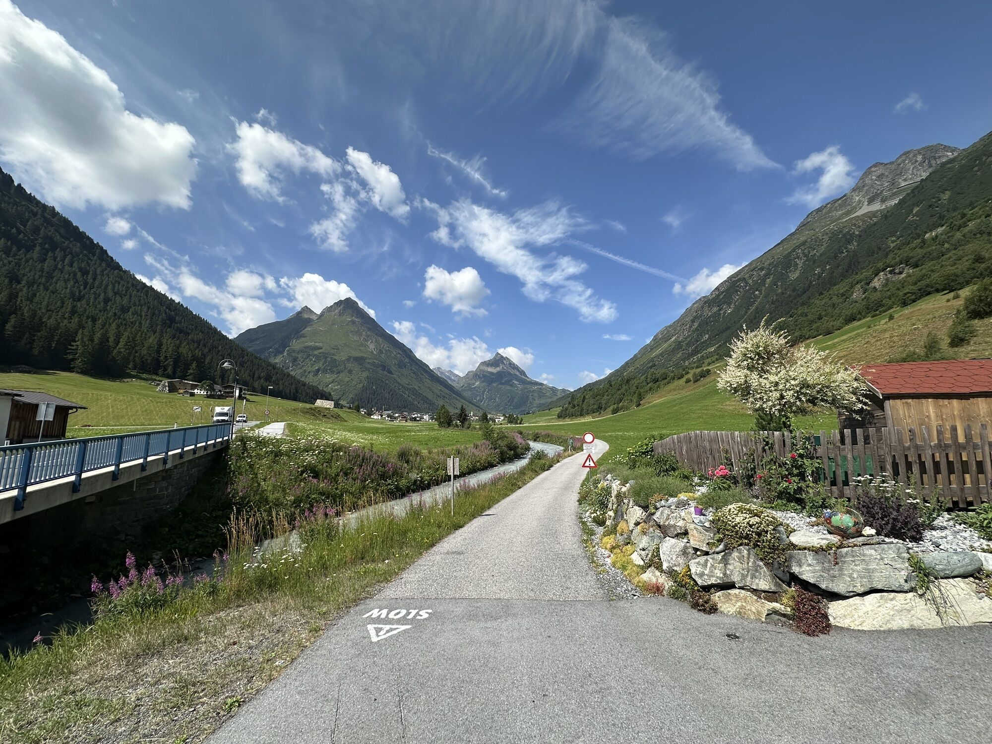
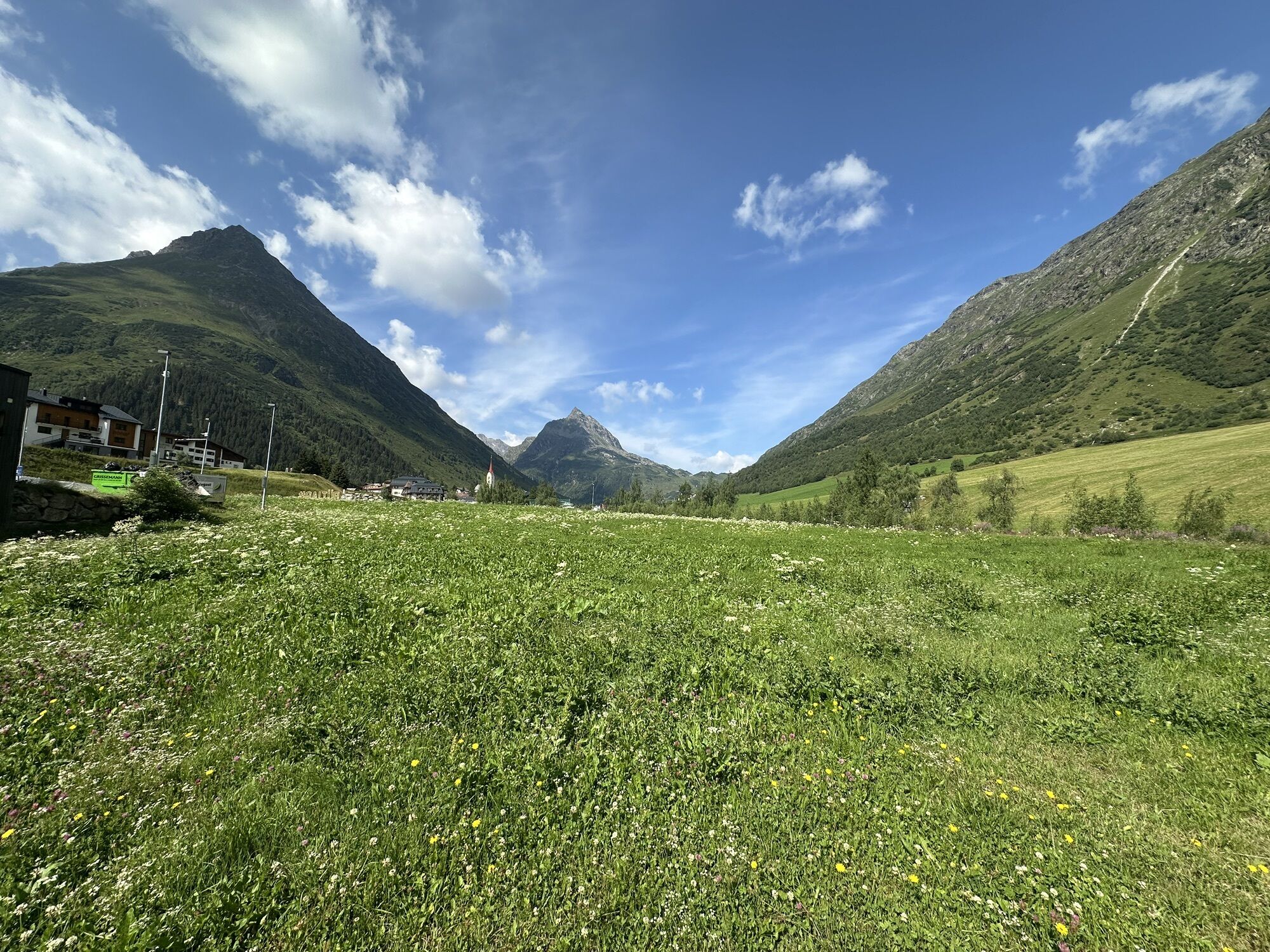
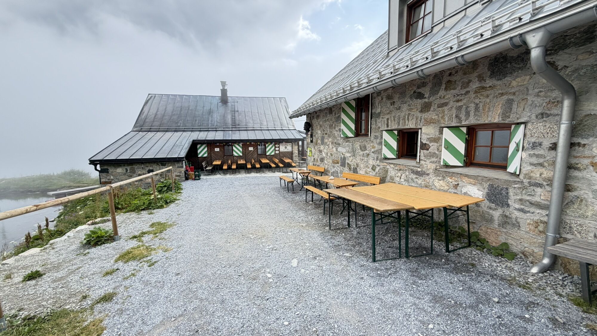
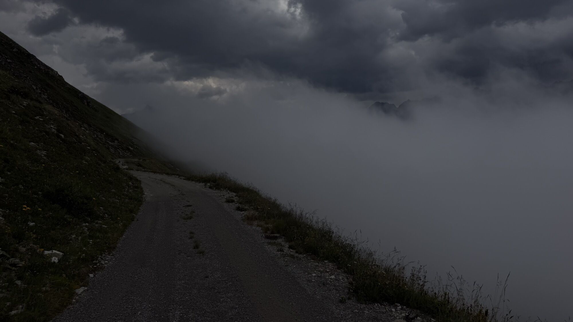
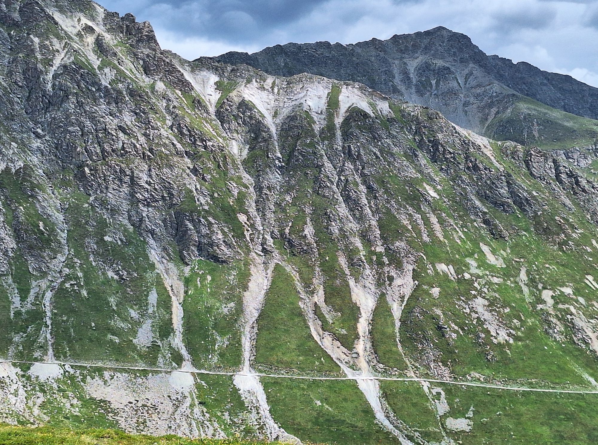
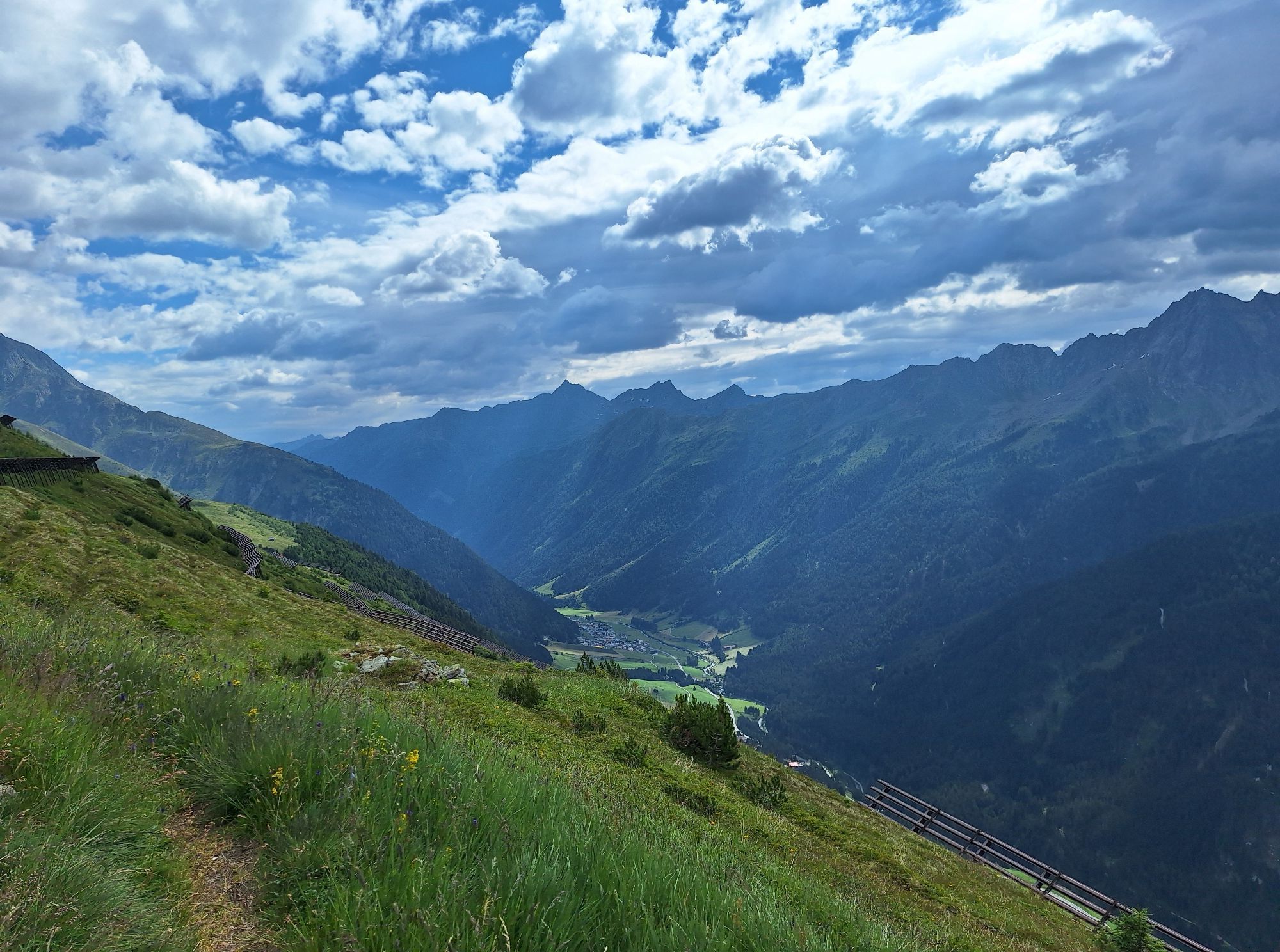
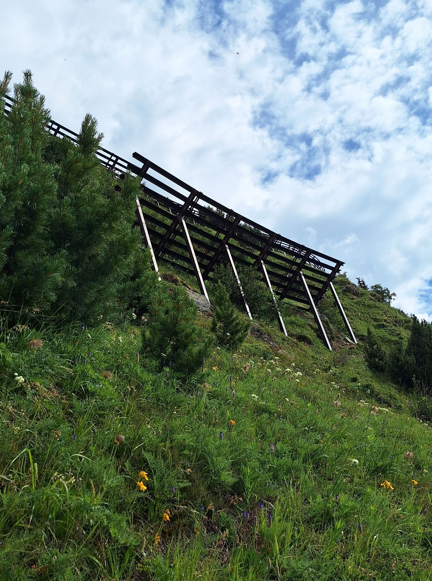
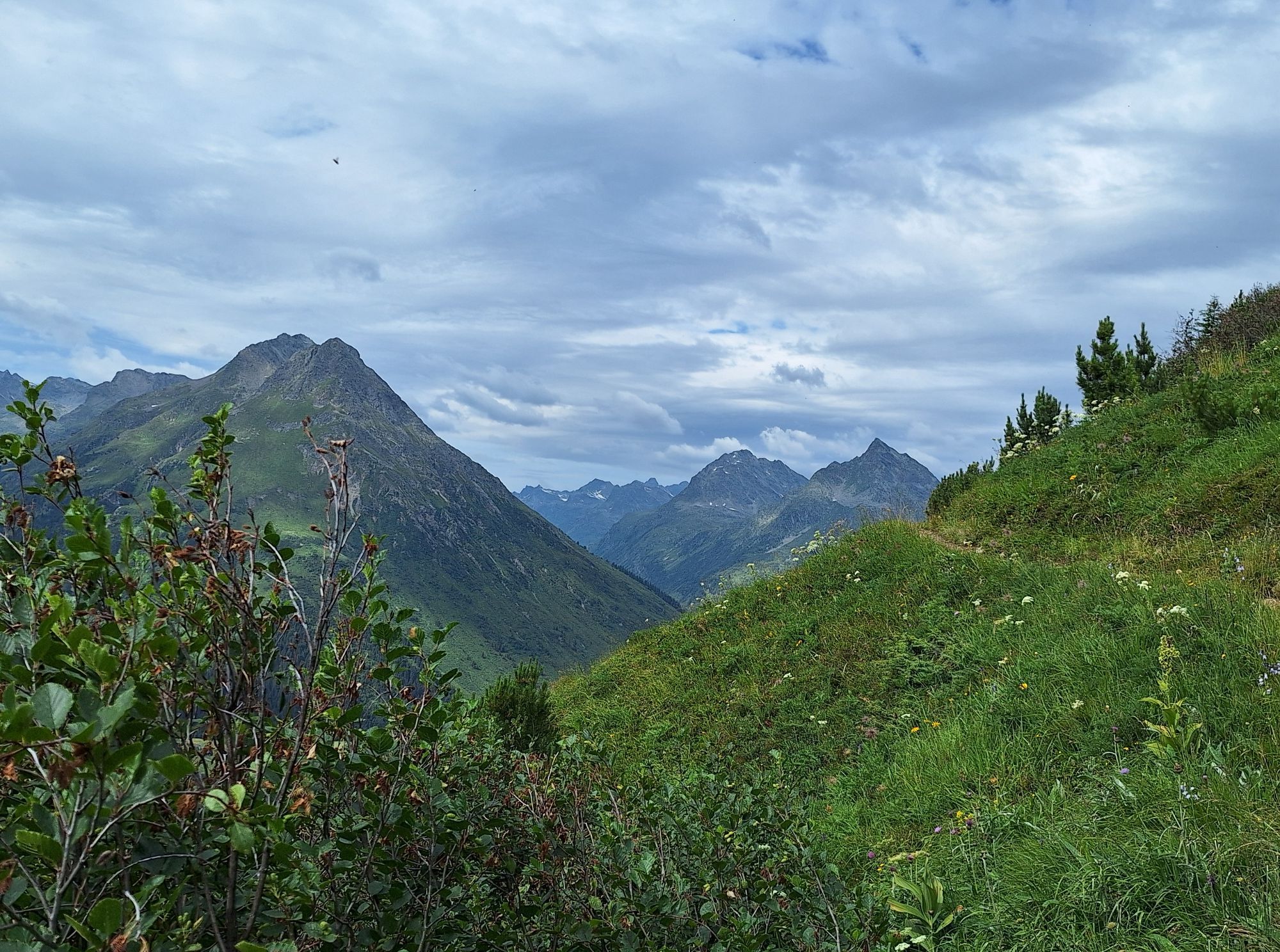
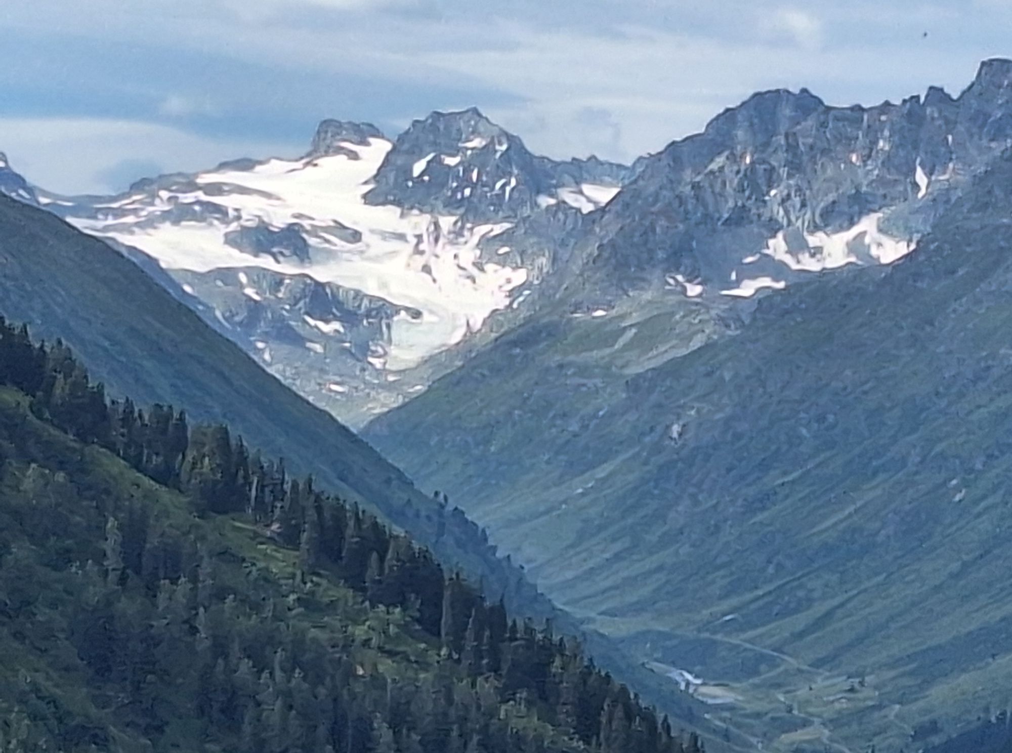
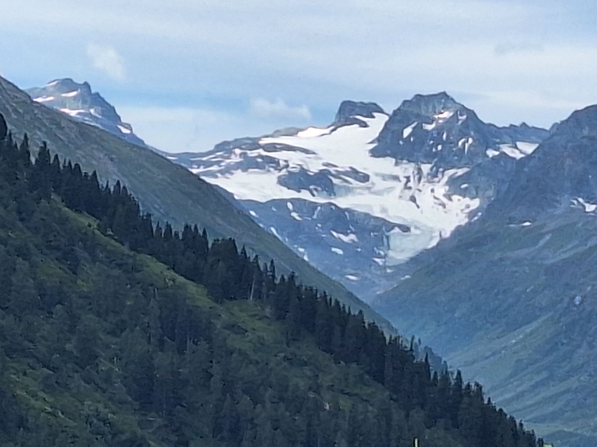
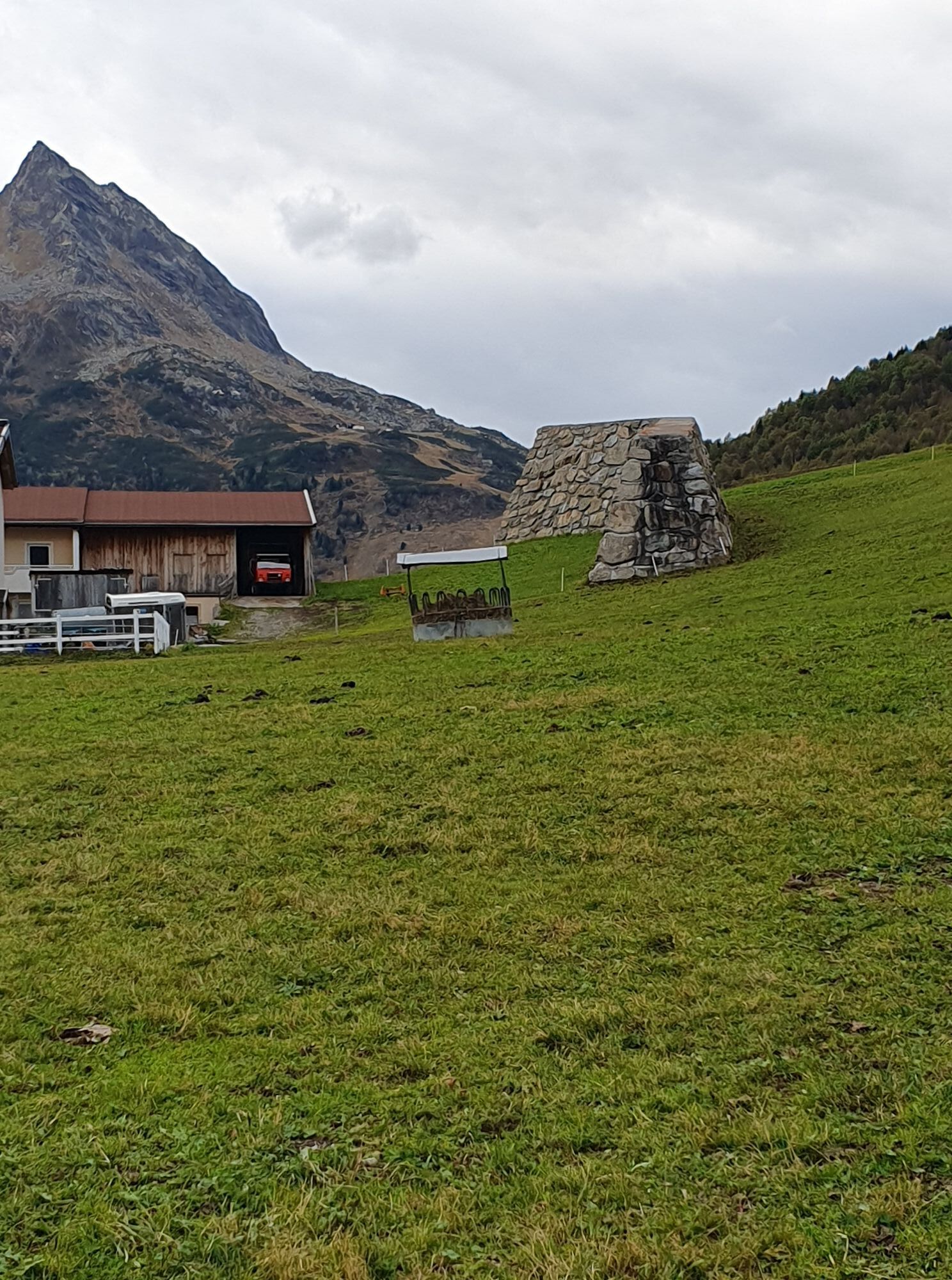
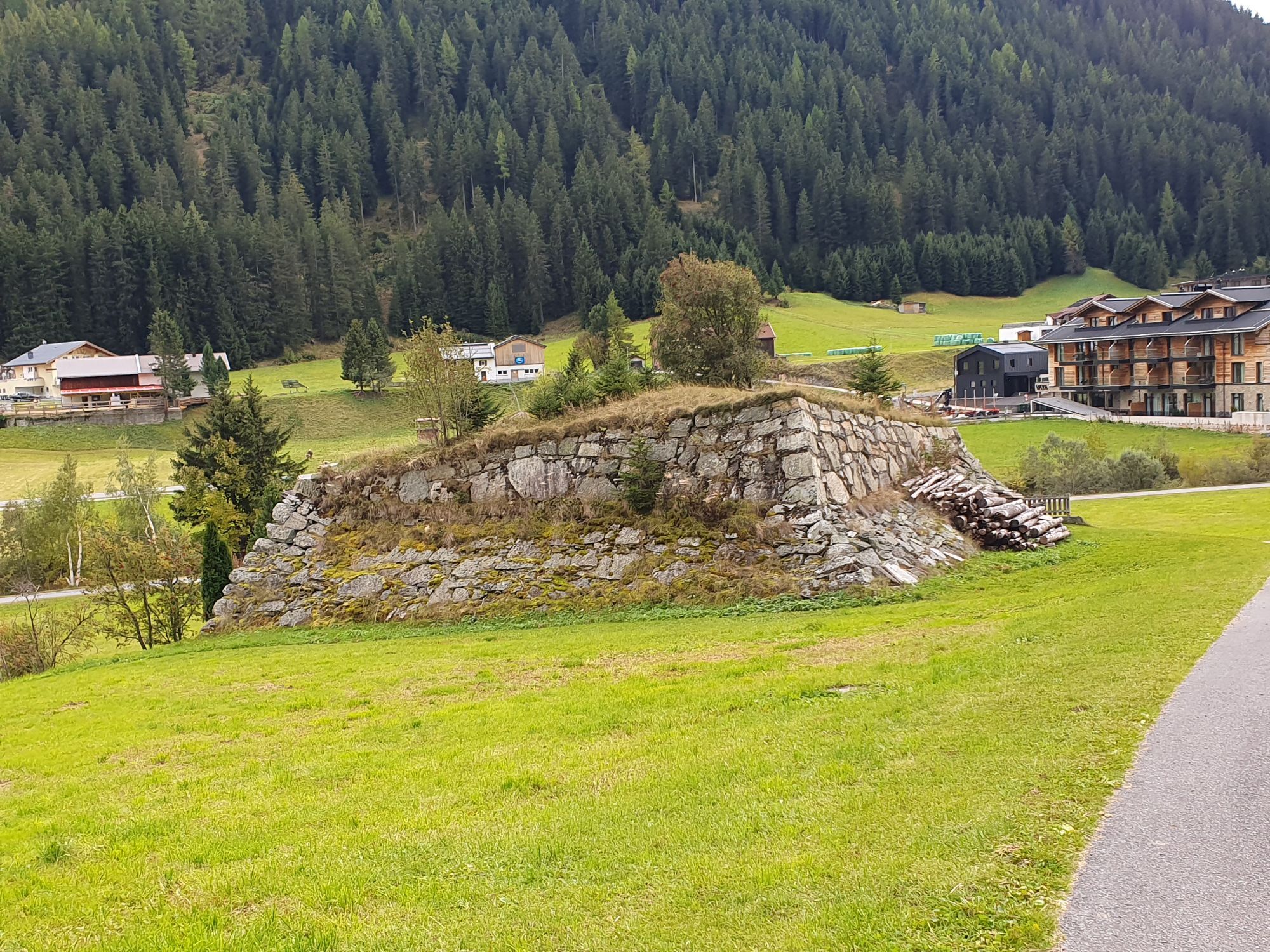
Coming from the village square in Galtür cross the bridge at Vermuntbach. Then follow the route to the left, climbing to the branch-off section which has a signpost for Sonnenkogel. From here the hike proceeds on narrow meadow paths to the Sonnenkogel which promises a wonderful view to the south into Jamtal. After 100m there is another signpost for the Tschaffein descent and the themed path - the 1000 metres altitude - Friedrichshafener lodge trail; this proceeds through avalanche barriers up to the road heading for Friedrichshafener lodge. Return section: Same route back or via the road to the car park for Friedrichshafener lodge.
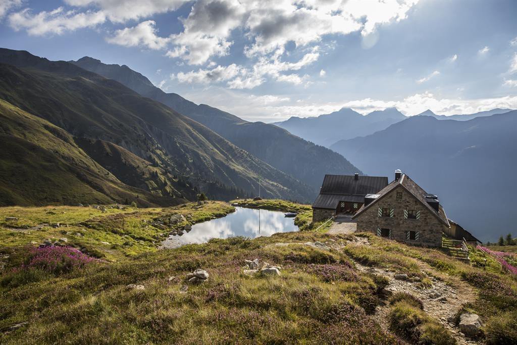
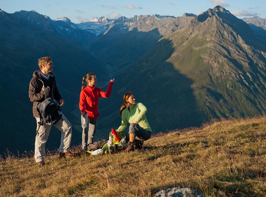

Friedrichshafener Hütte
TVB Paznaun-Ischgl Infobüro Galtür
With the bus to Galtür village square. By car to Galtür center, close to the village square to the parking place Arzthaus
parking place Arzthaus







Parcours populaires à proximité
- 4,8
Heilbronner lodge
moyenRandonnée 13,0 km - 4,1
Stuben - Stubner See - Kaltenberghütte - Stuben
moyenRandonnée 9,90 km - 4,9
Alpgues Runde
moyenRandonnée 9,21 km - 4,2
St Anton zur Darmstädter Hütte
difficileVTT 28,4 km - 5,0
Lac Wiegensee-Kopssee
moyenRandonnée 8,17 km - 5,0
Menta Alm - Scheibenalm
facileRandonnée 11,4 km - 4,6
Vom Kopssee zur Breitspitze Gemeinde Gaschurn, Vorarlberg/Österreich
moyenRandonnée 12,5 km - 5,0
Rundwanderung Berglisee, Mathon
difficileRandonnée 11,1 km - 3,2
Bielerhöhe and circular hike around the Silvretta reservoir
moyenRandonnée 13,1 km - 5,0
Sentier du Wiegensee
moyenChemin thématique 12,7 km
Randonnée et suivi


Ne manquez pas les offres et l'inspiration pour vos prochaines vacances
Votre adresse électronique a été ajouté à la liste de diffusion.





