


Alpkogelbahn mountain station - Kops reservoir - Zeinisjoch - Galtür
Photos de nos utilisateurs
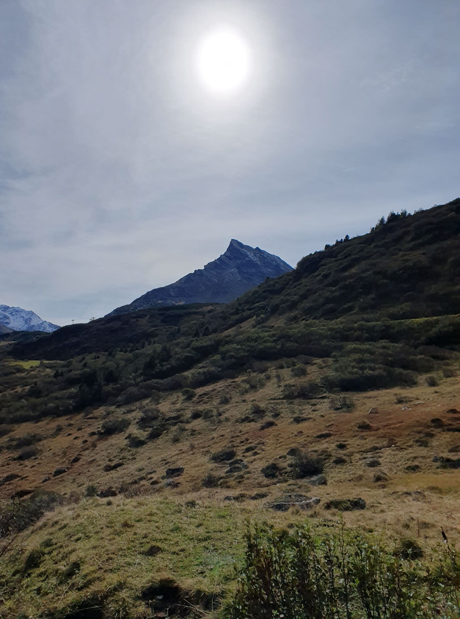
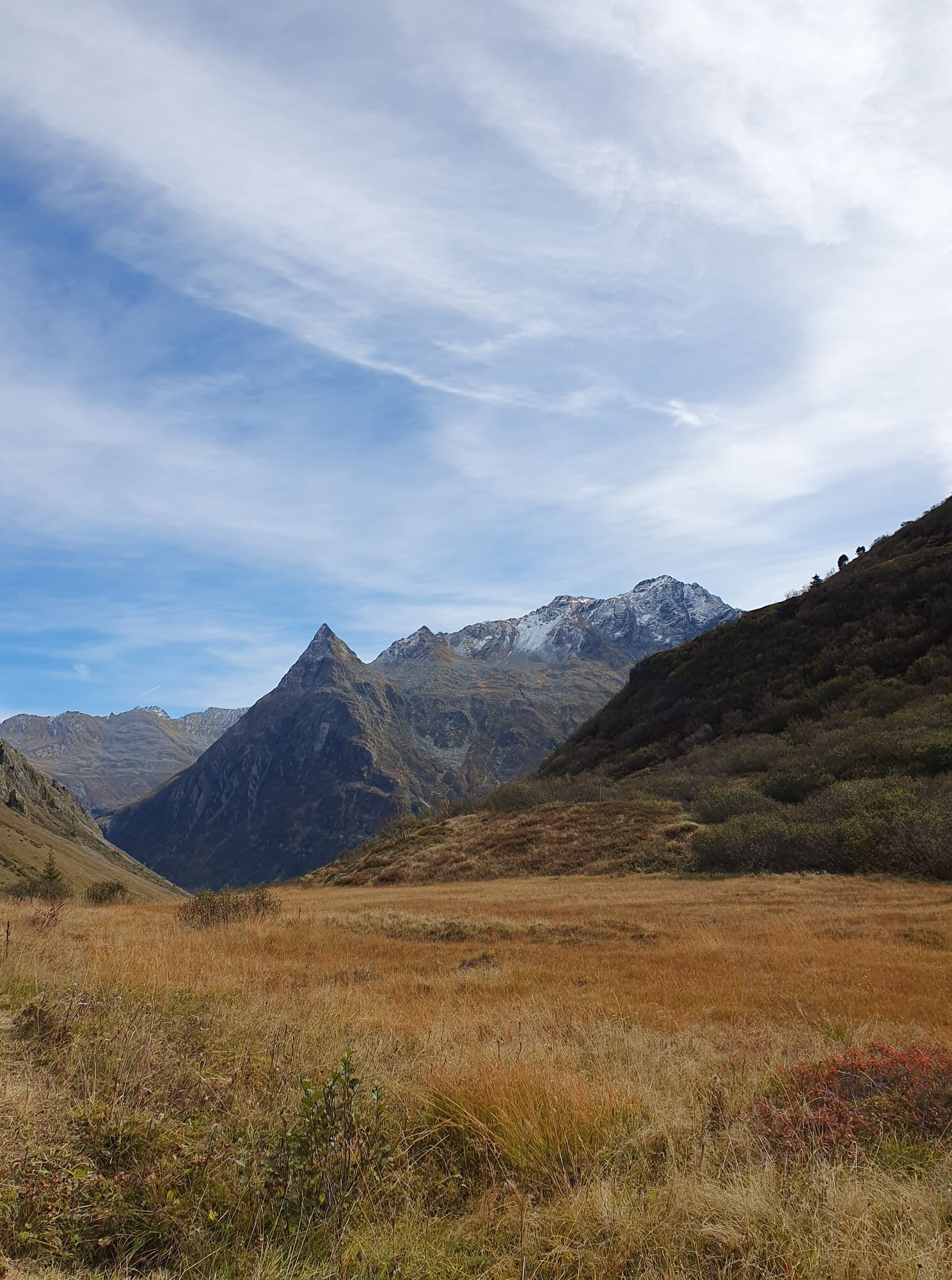
 © Christian StieberCréé le 03.10.2025
 © Christian StieberCréé le 03.10.2025
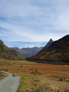 © Christian StieberCréé le 03.10.2025
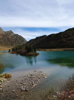 © Christian StieberCréé le 03.10.2025
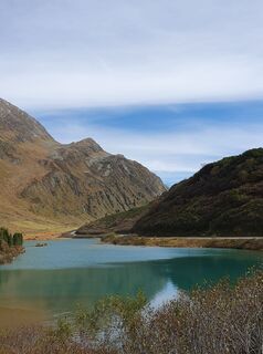 © Christian StieberCréé le 03.10.2025
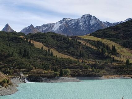 © Christian StieberCréé le 03.10.2025
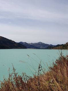 © Christian StieberCréé le 03.10.2025
 © Christian StieberCréé le 03.10.2025
 © Christian StieberCréé le 03.10.2025
 © Christian StieberCréé le 03.10.2025
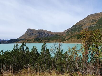 © Christian StieberCréé le 03.10.2025
 © Christian StieberCréé le 03.10.2025
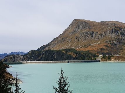 © Christian StieberCréé le 03.10.2025
 © Christian StieberCréé le 03.10.2025
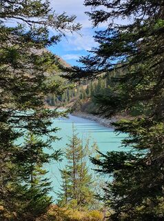 © Christian StieberCréé le 03.10.2025
 © Christian StieberCréé le 03.10.2025
 © Christian StieberCréé le 03.10.2025
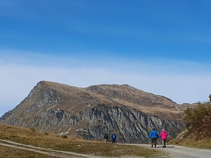 © Christian StieberCréé le 03.10.2025
 © Christian StieberCréé le 03.10.2025
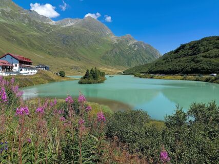
 © WilfriedCréé le 10.08.2025
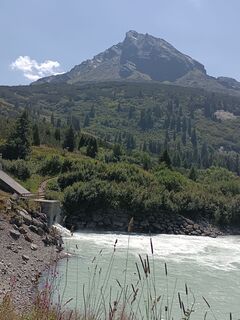 © WilfriedCréé le 10.08.2025
 © WilfriedCréé le 10.08.2025
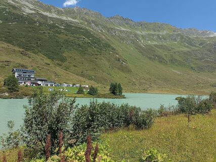 © WilfriedCréé le 10.08.2025
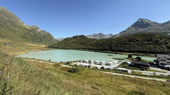 © Florian Meyer 1Créé le 09.08.2025
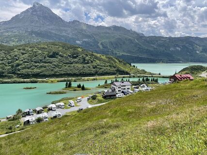
 © Ralf UmmingerCréé le 19.07.2025
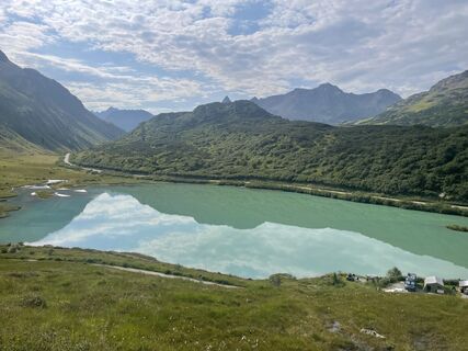 © Ralf UmmingerCréé le 19.07.2025
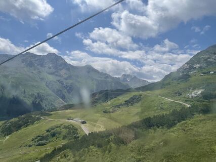
 © Dirk van HelmondCréé le 04.07.2025
 © Adam SzlottaCréé le 28.06.2025
 © Adam SzlottaCréé le 28.06.2025
 © Adam SzlottaCréé le 28.06.2025
 © Adam SzlottaCréé le 28.06.2025
 © Ralf UmmingerCréé le 21.09.2024
 © Ralf UmmingerCréé le 21.09.2024
 © Ralf UmmingerCréé le 21.09.2024
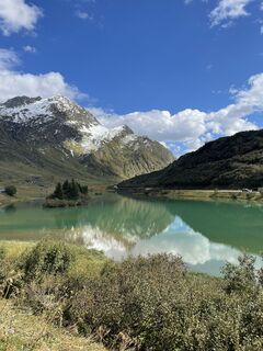 © Ralf UmmingerCréé le 21.09.2024
 © Ralf UmmingerCréé le 21.09.2024
 © Ralf UmmingerCréé le 21.09.2024
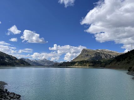 © Ralf UmmingerCréé le 21.09.2024
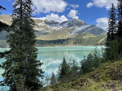 © Ralf UmmingerCréé le 21.09.2024
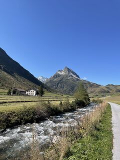 © Ralf UmmingerCréé le 21.09.2024
 © MatthiasCréé le 01.09.2019
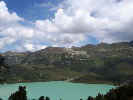 © MatthiasCréé le 01.09.2019
 © MatthiasCréé le 01.09.2019
 © PosuchovCréé le 16.02.2023
 © Marcus LCréé le 13.03.2026
 © Veronica ThoeniCréé le 20.09.2025
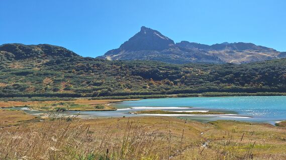 © Veronica ThoeniCréé le 20.09.2025
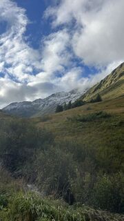
 © Justinas SemenasCréé le 05.09.2025
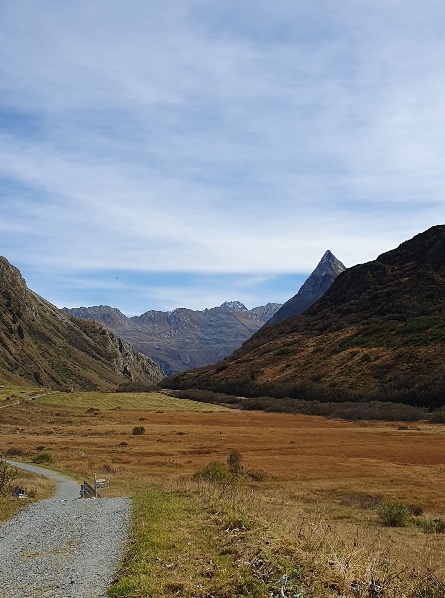

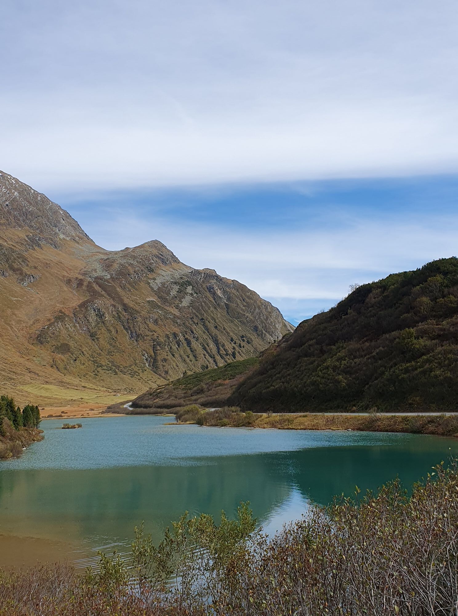

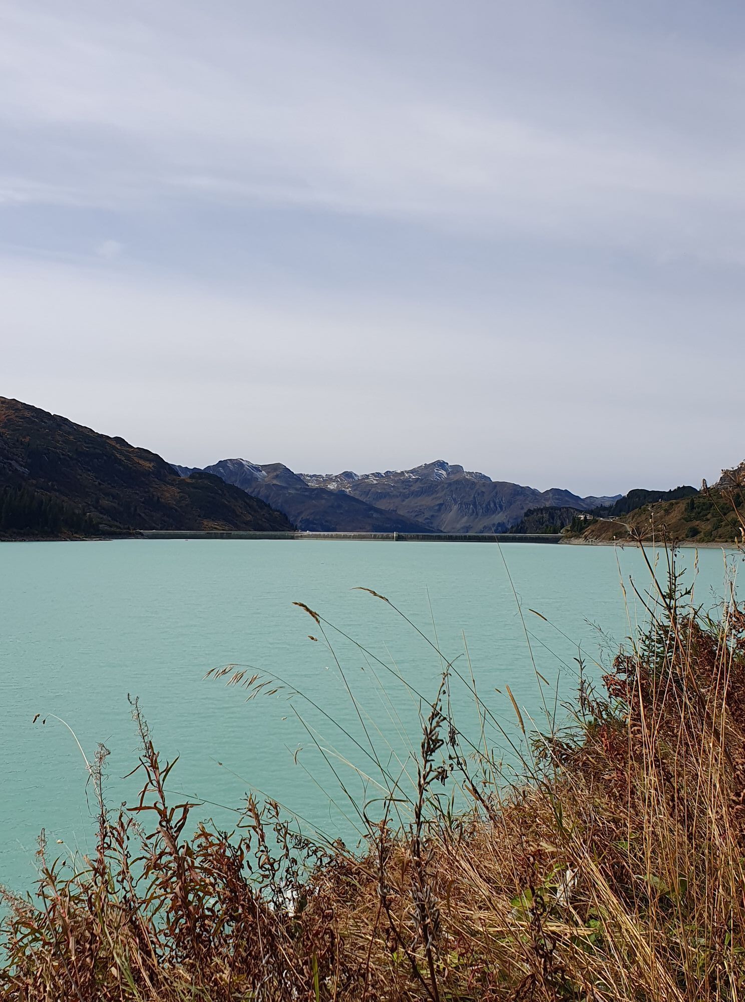
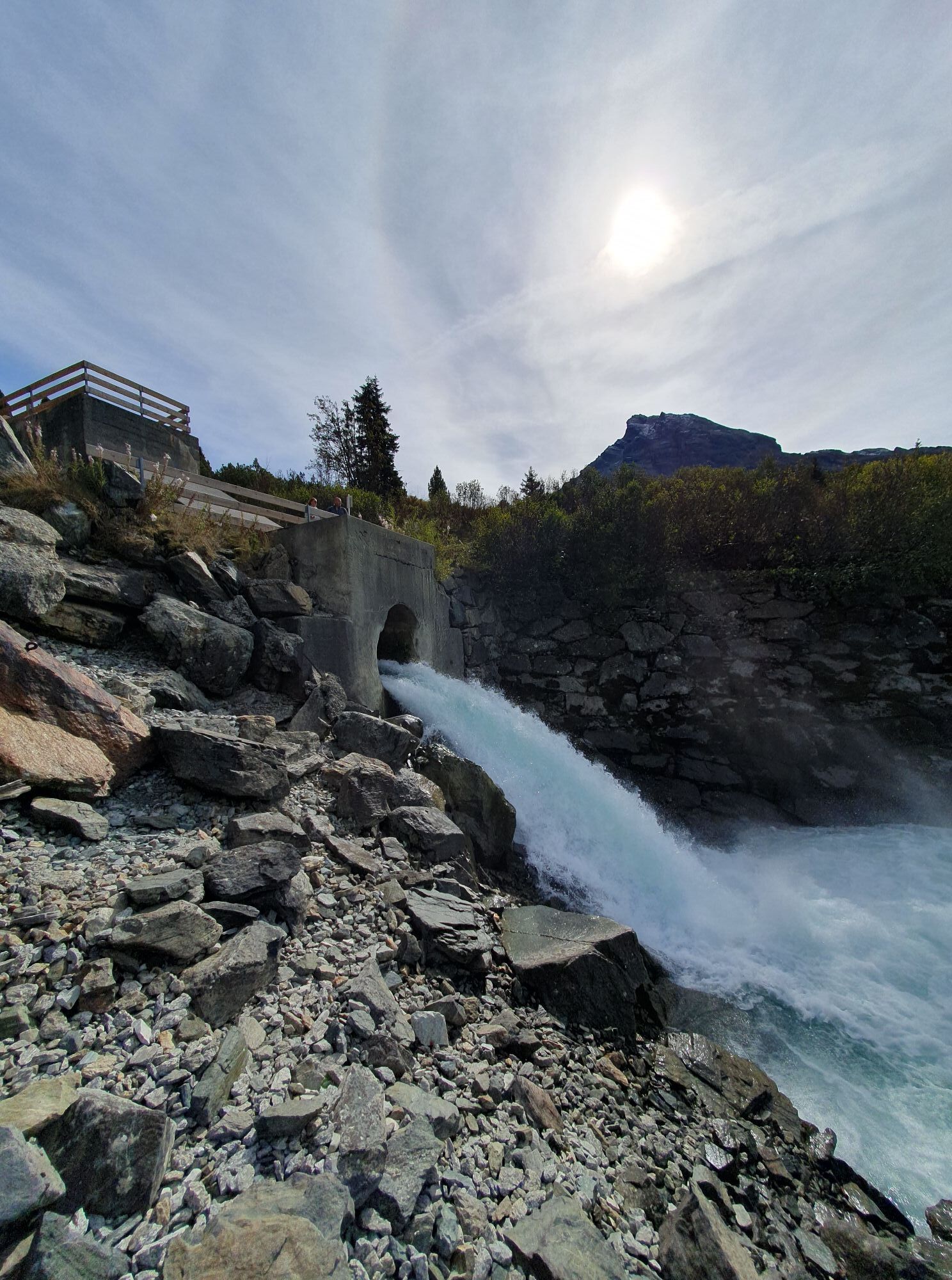
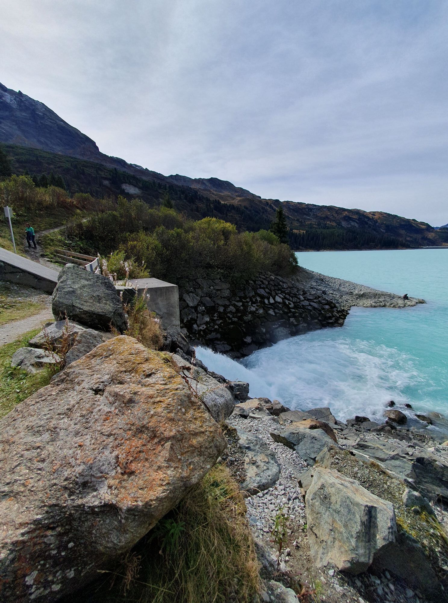
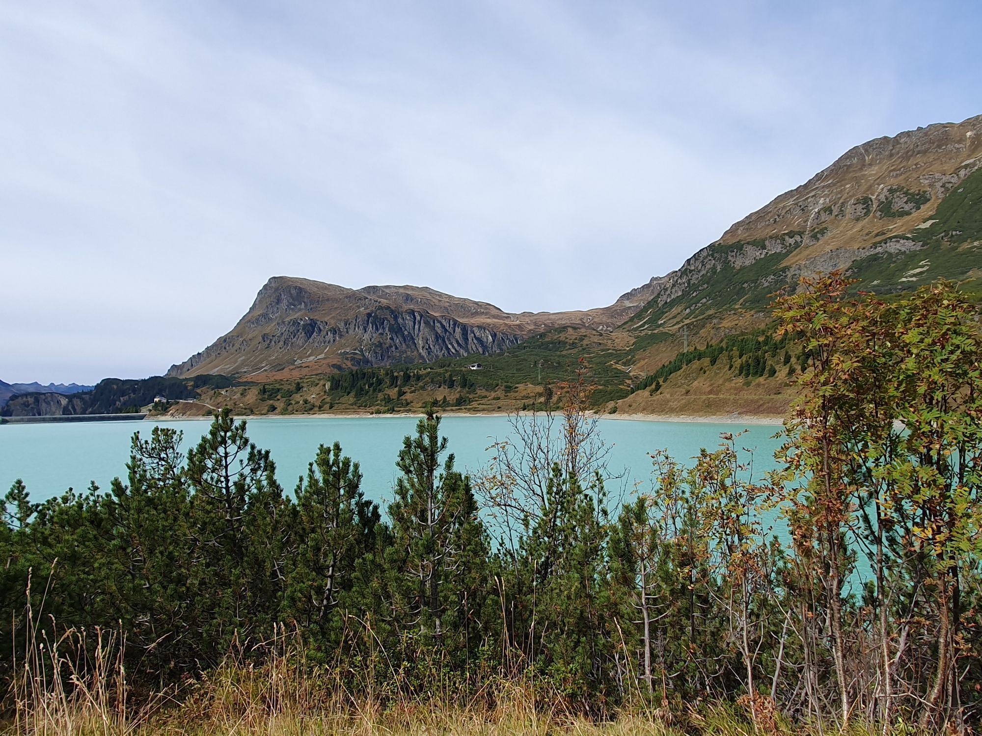
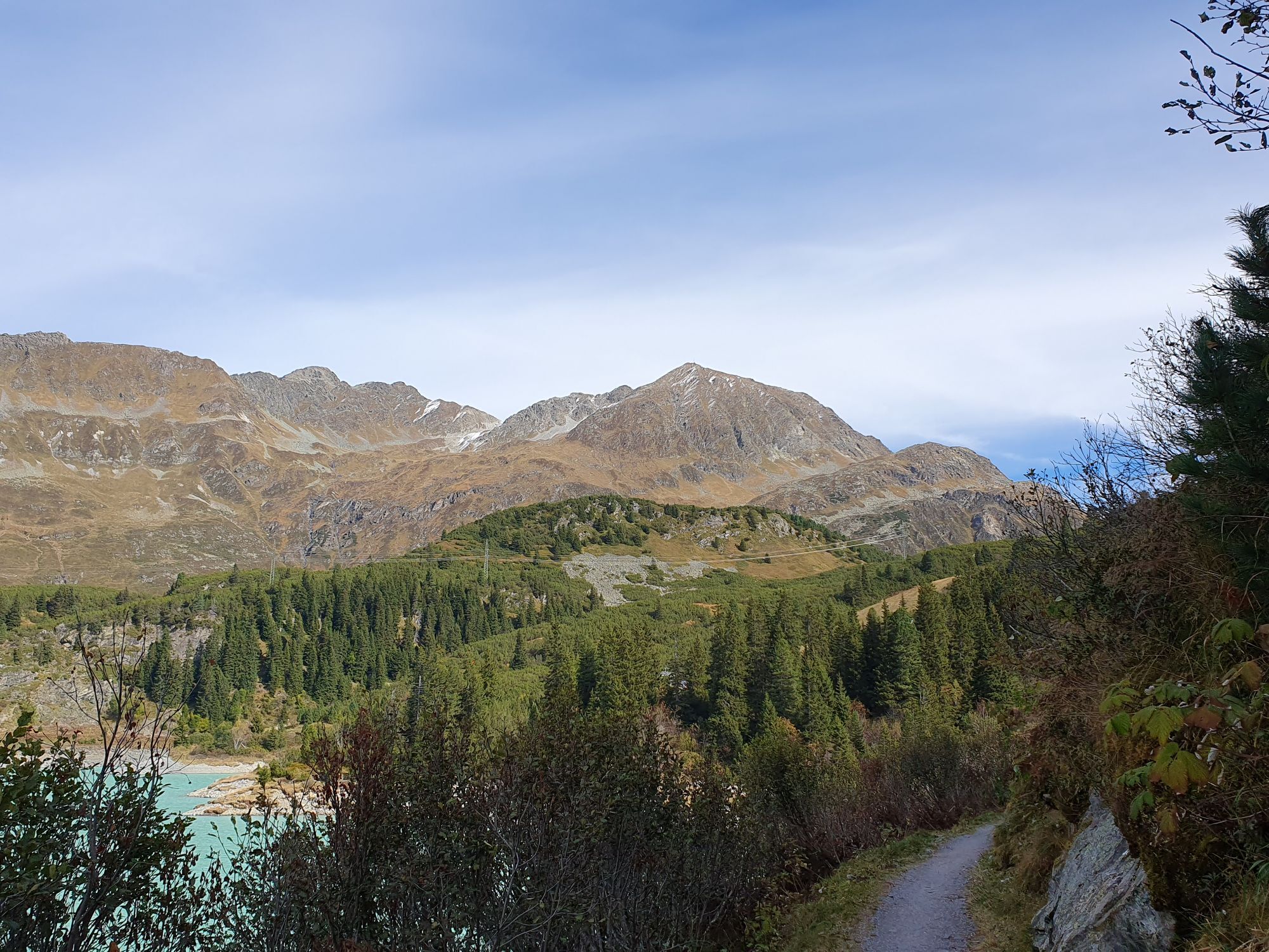


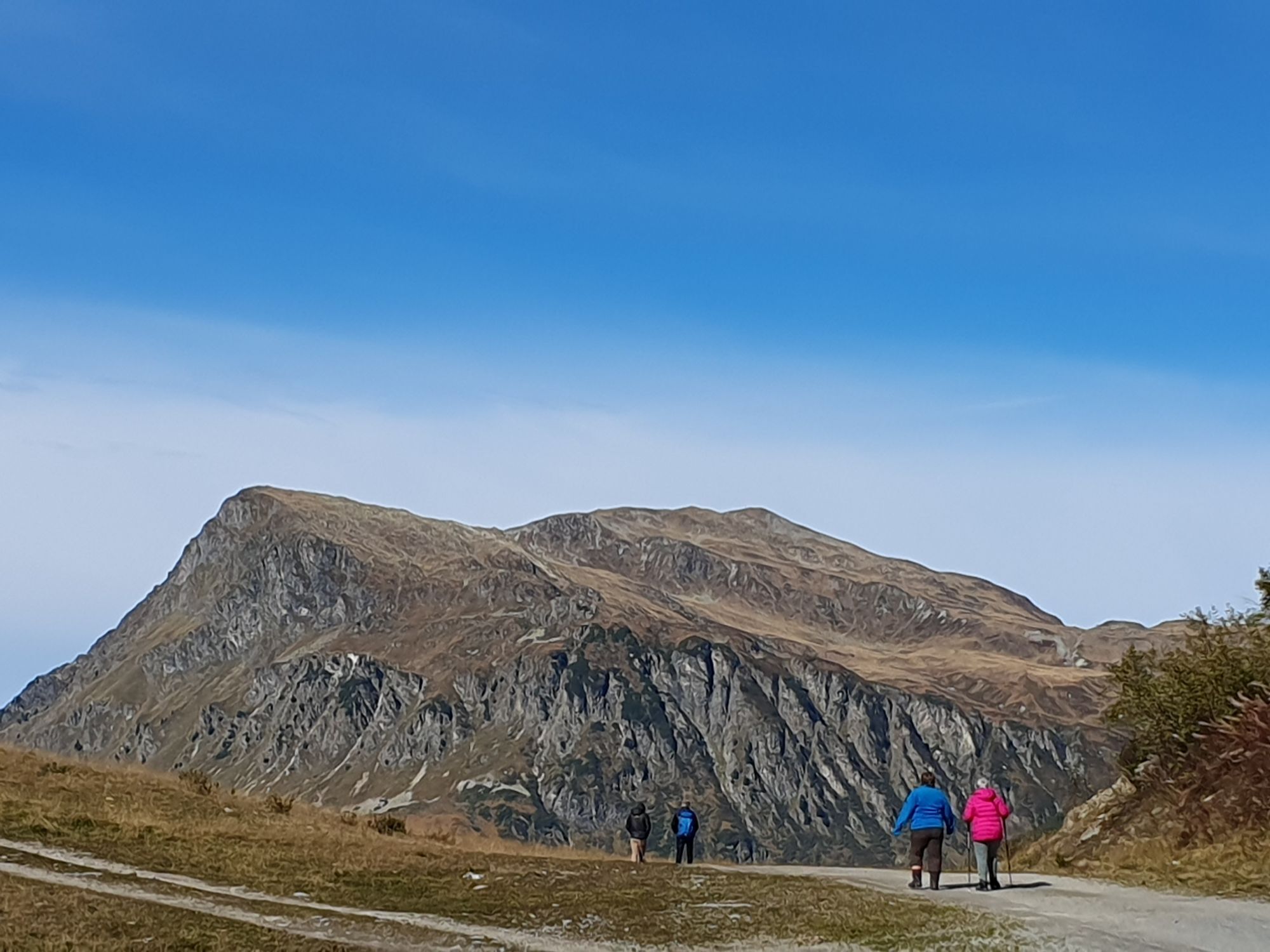
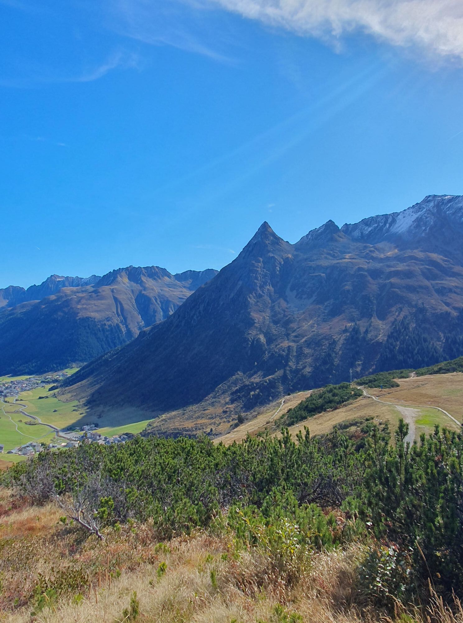


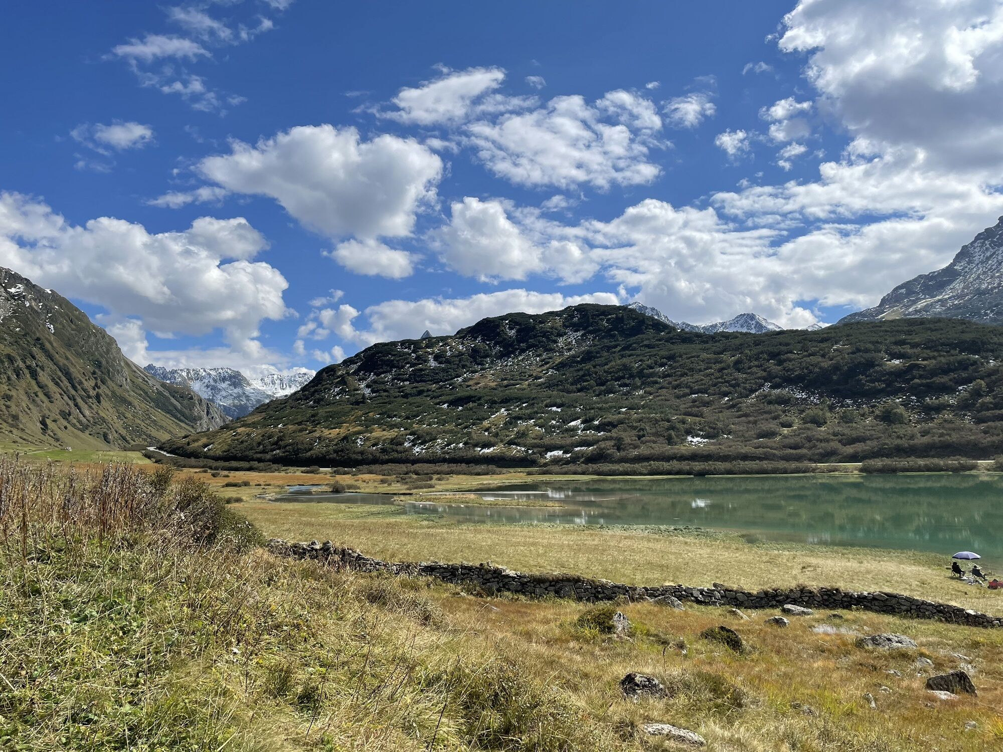

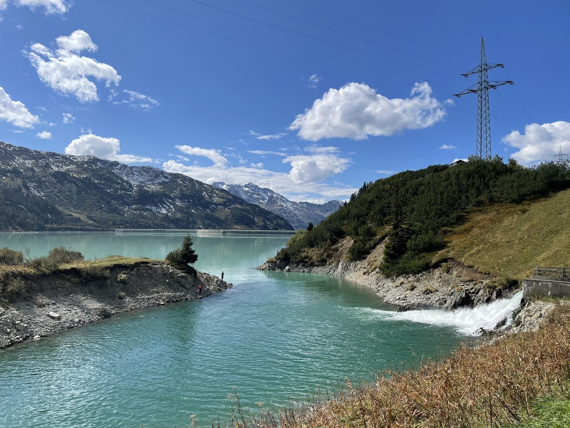
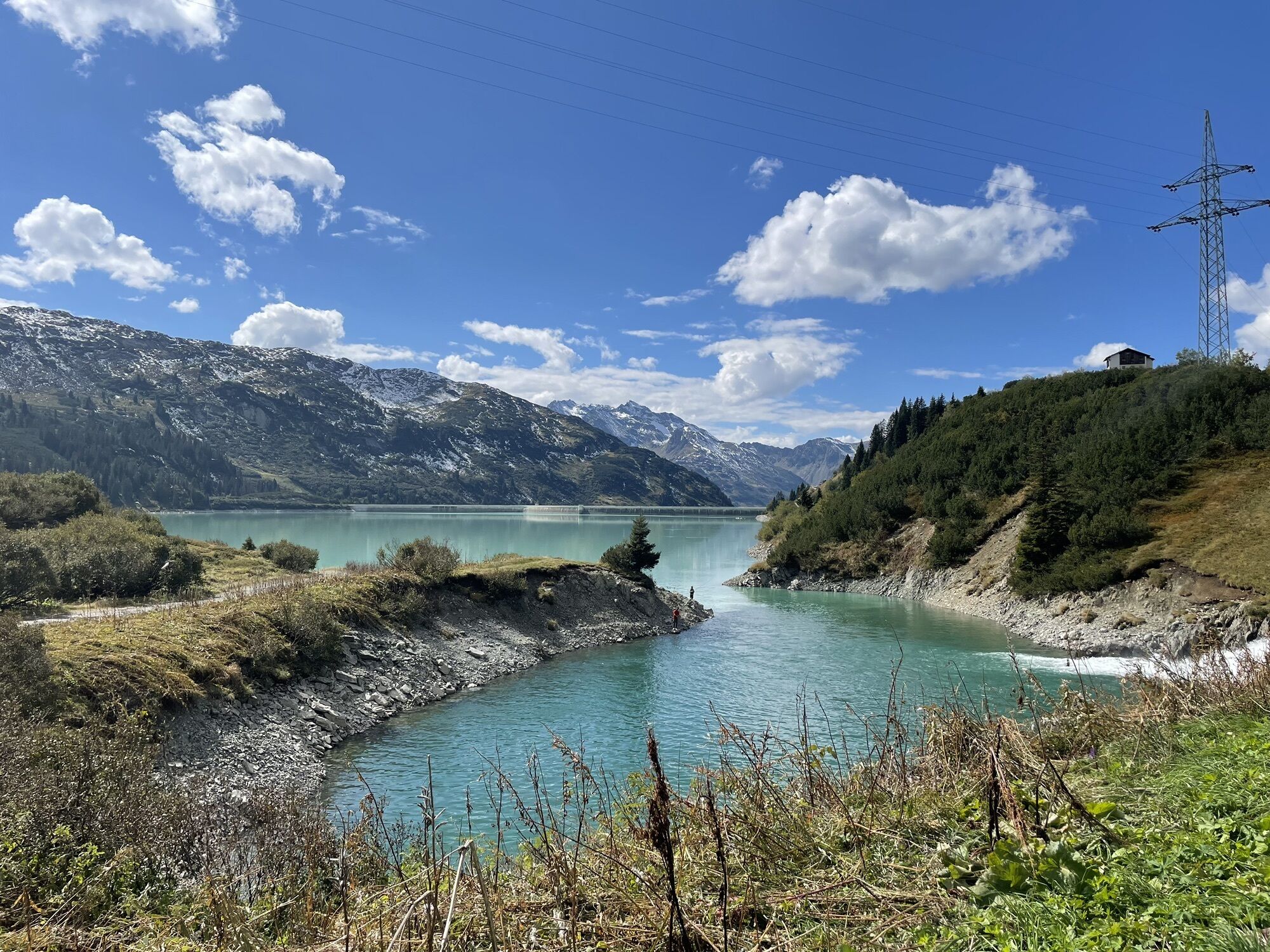


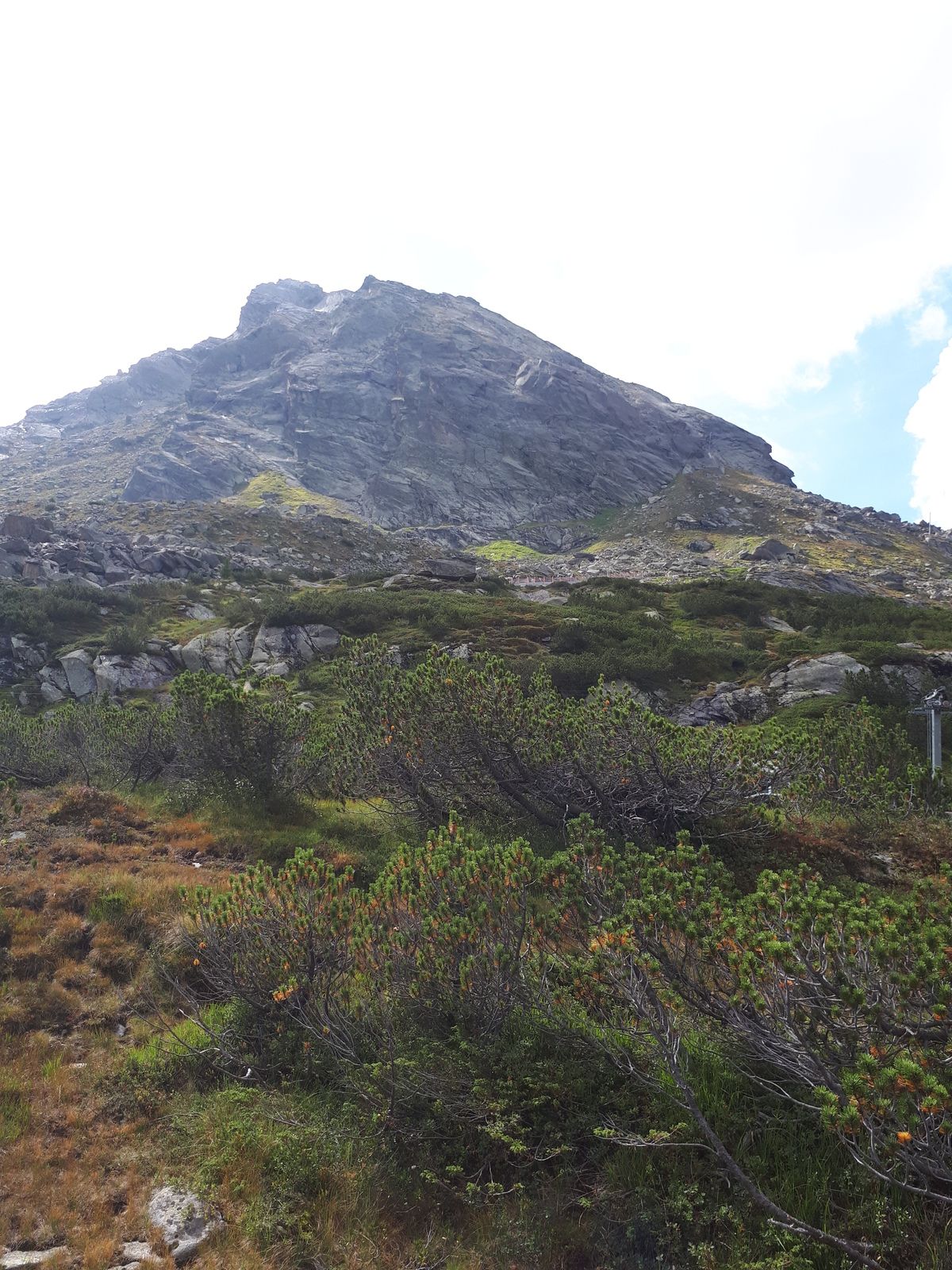
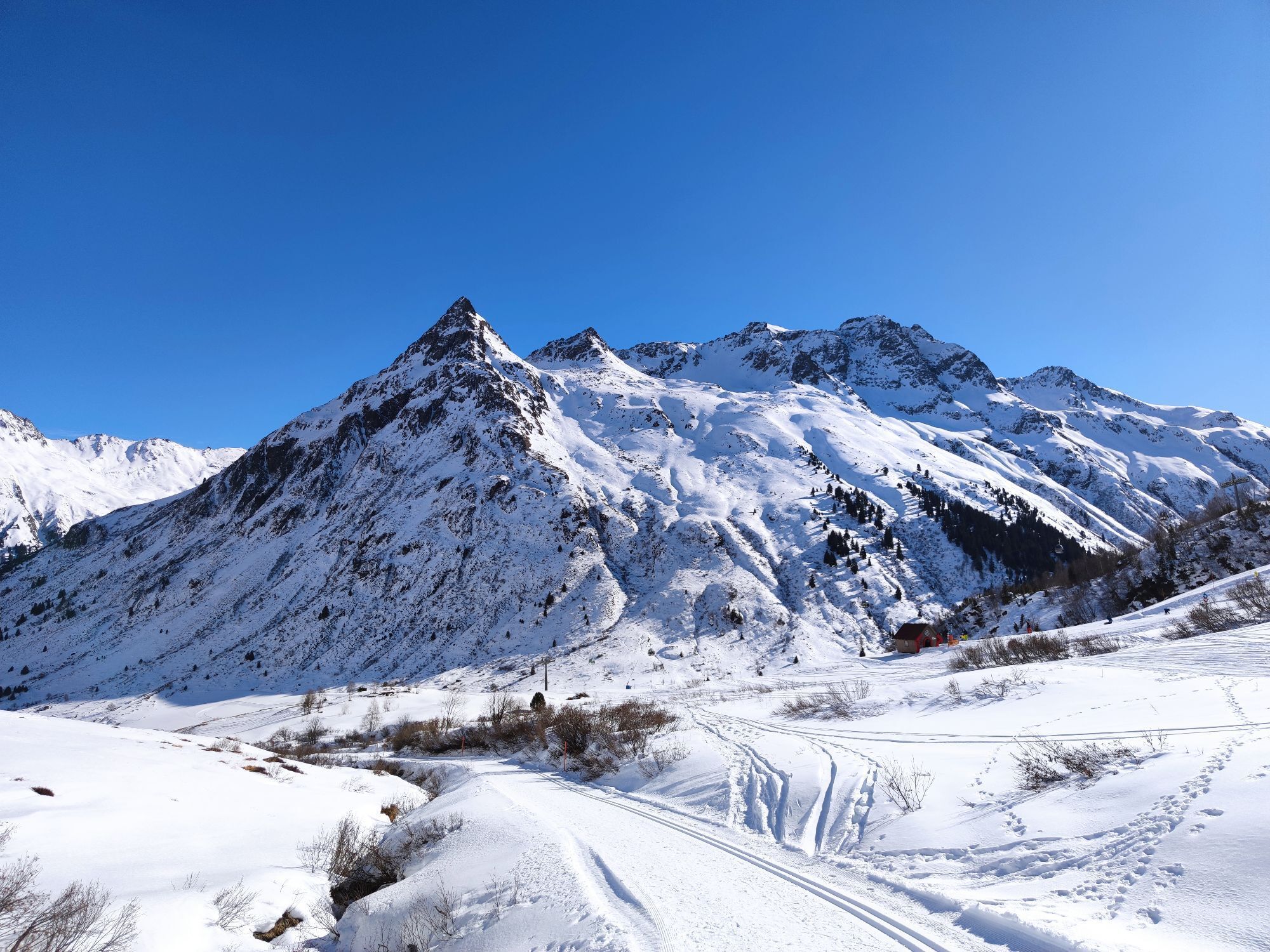
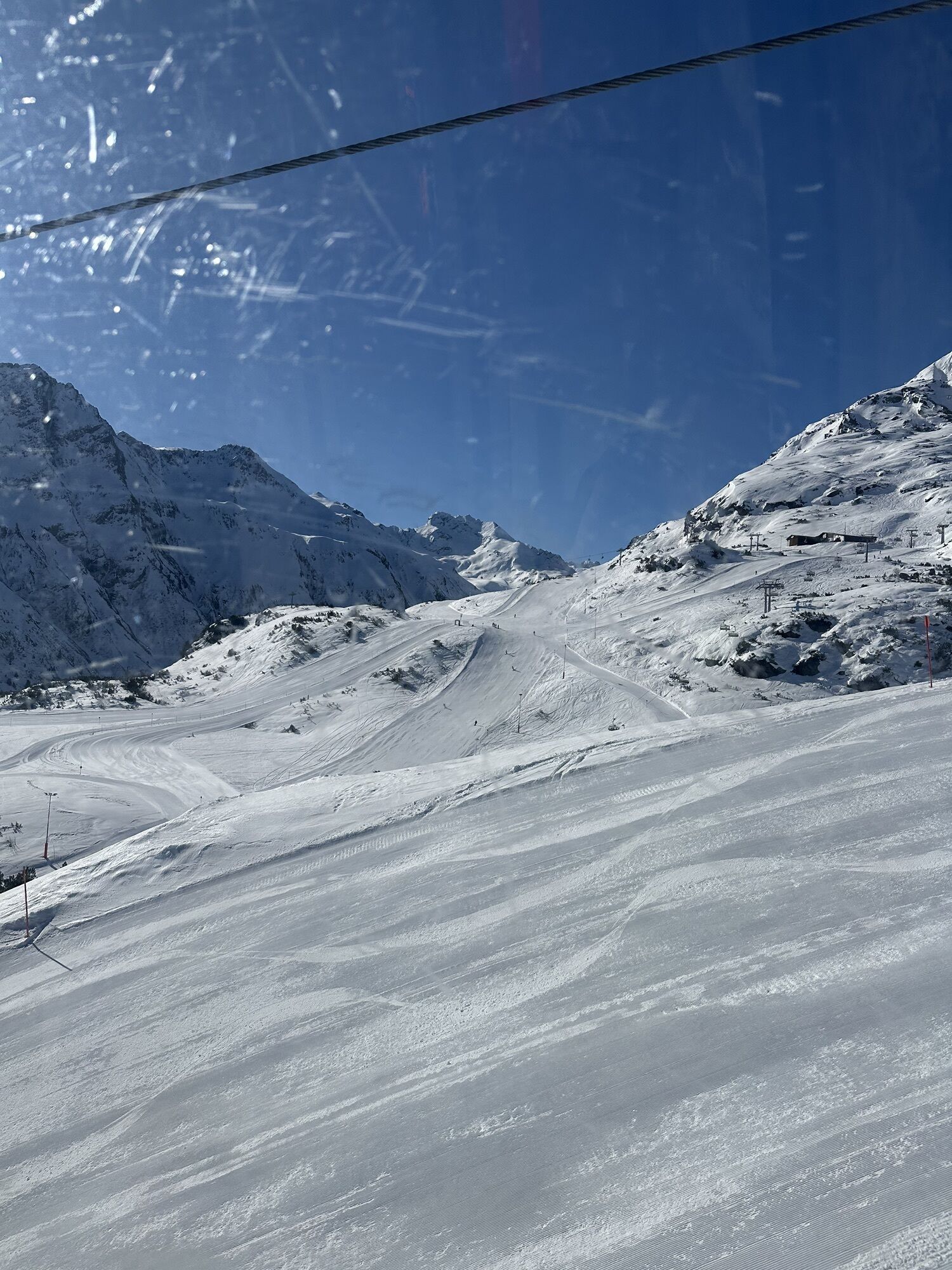


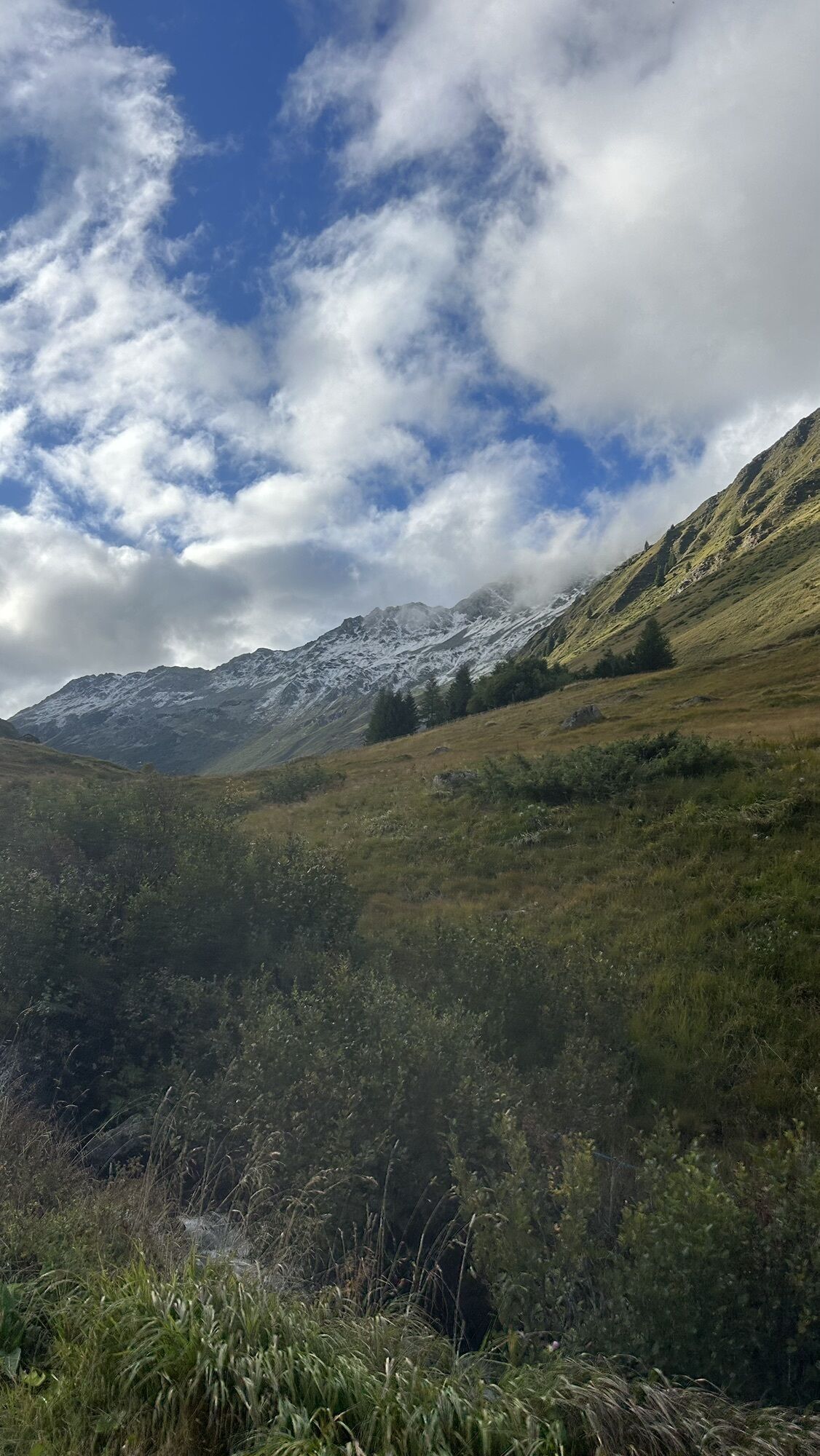
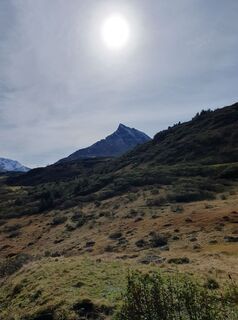
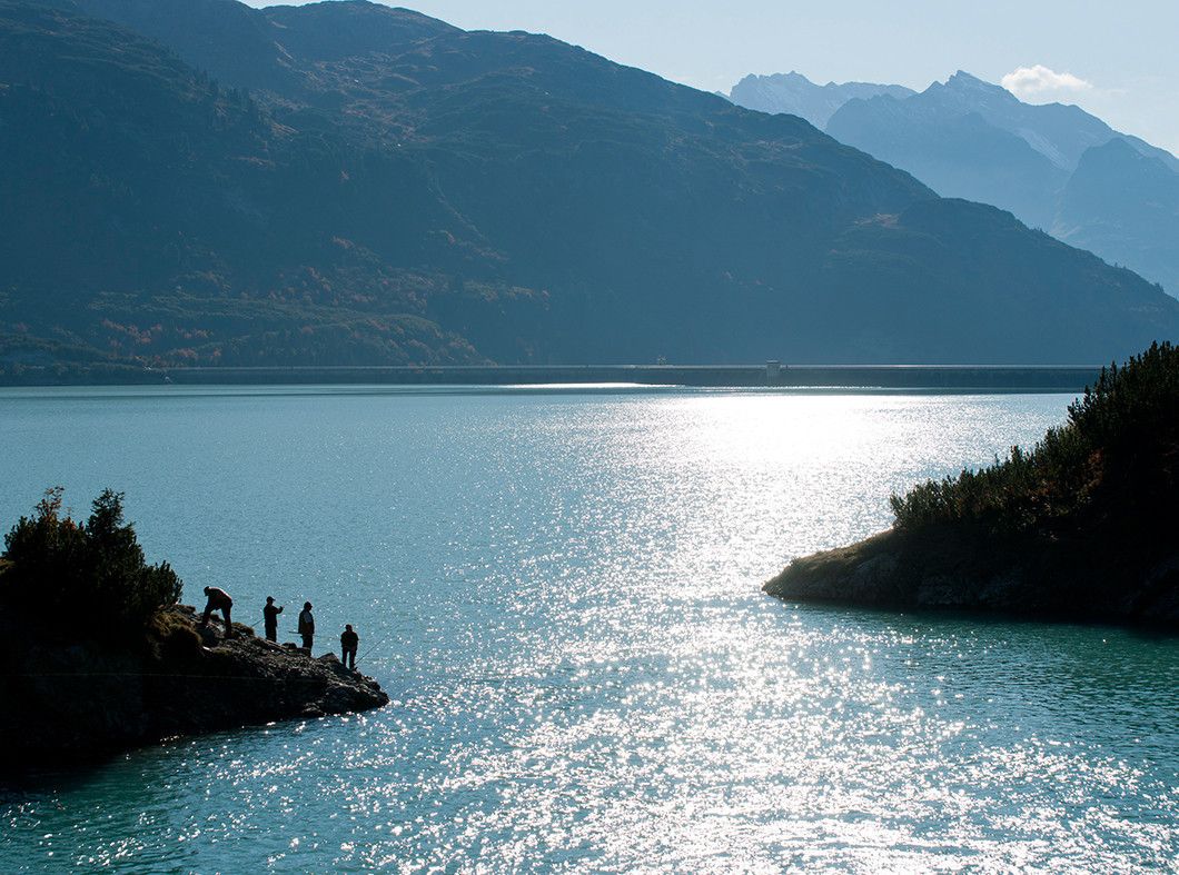
The gondola lift takes you to the Alpkogel mountain station at an altitude of around 1,974 meters. From here the trail leads you a little up- and later downhill towards the valley station of the “Breitspitzbahn”....
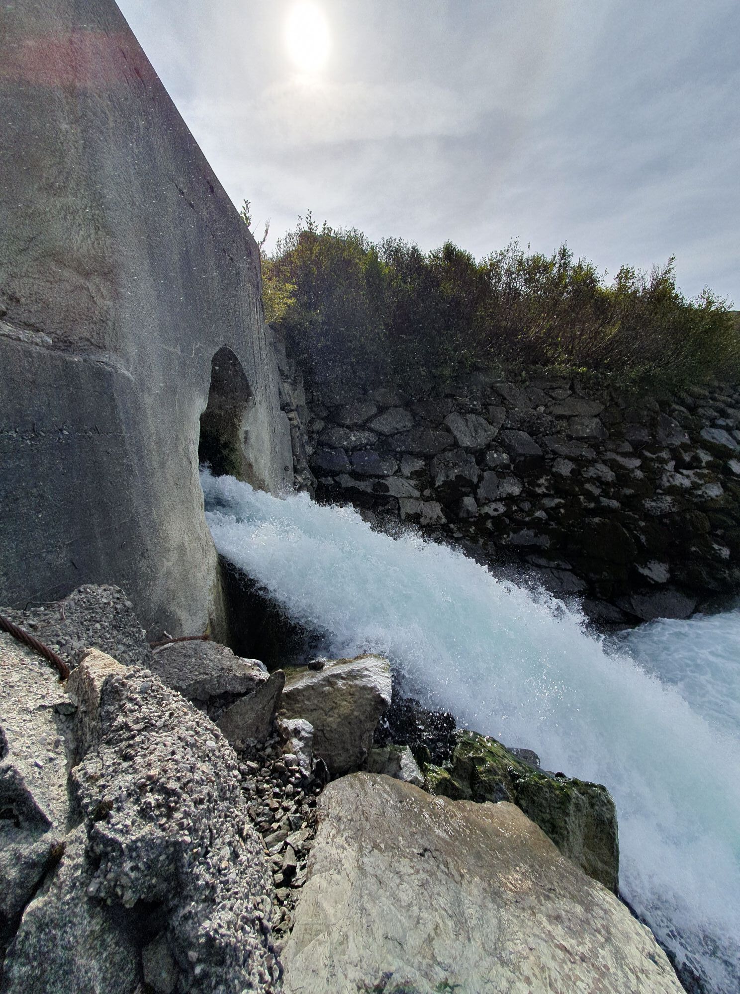
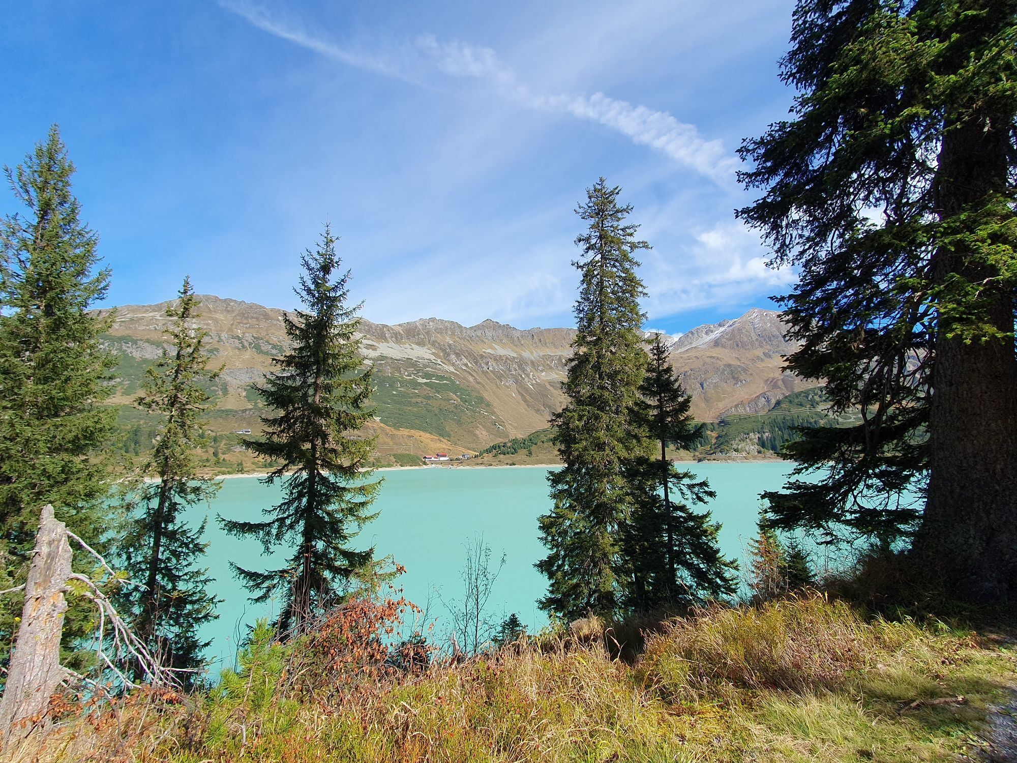
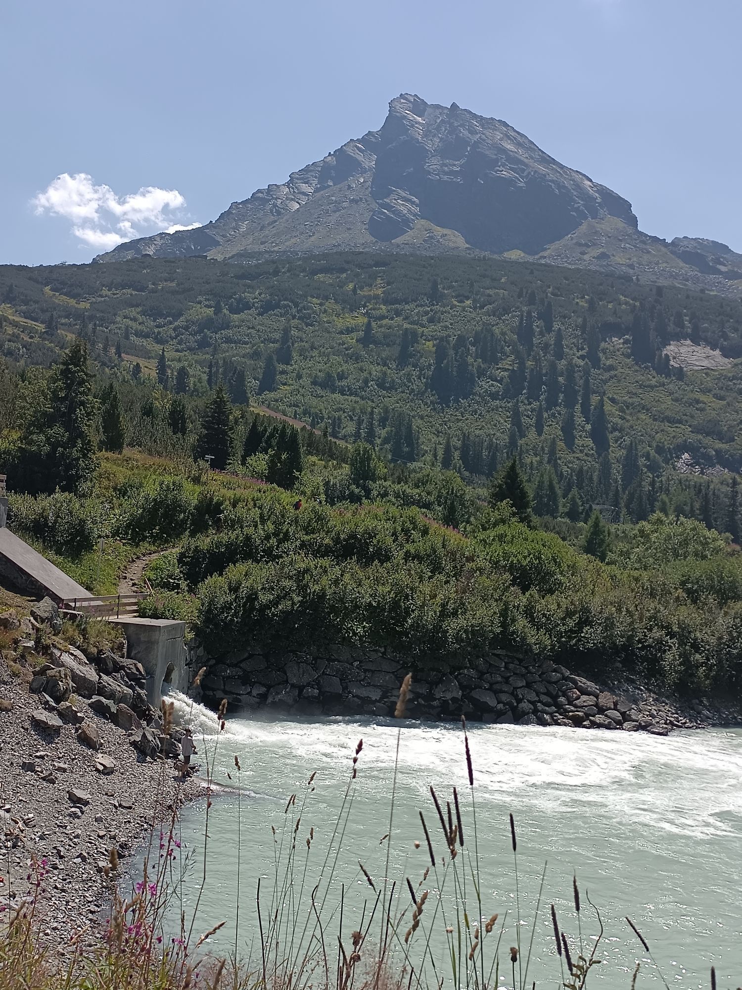
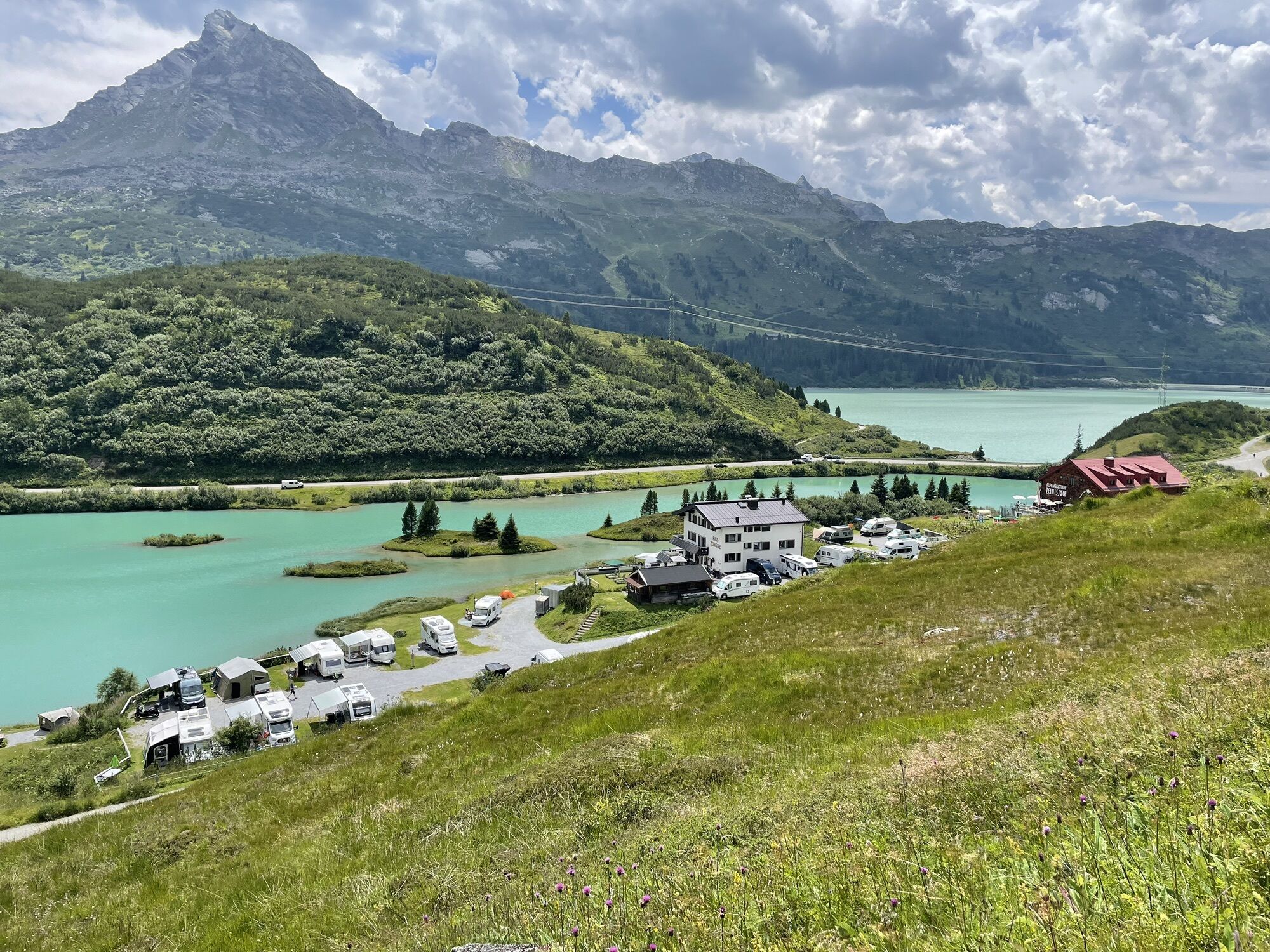
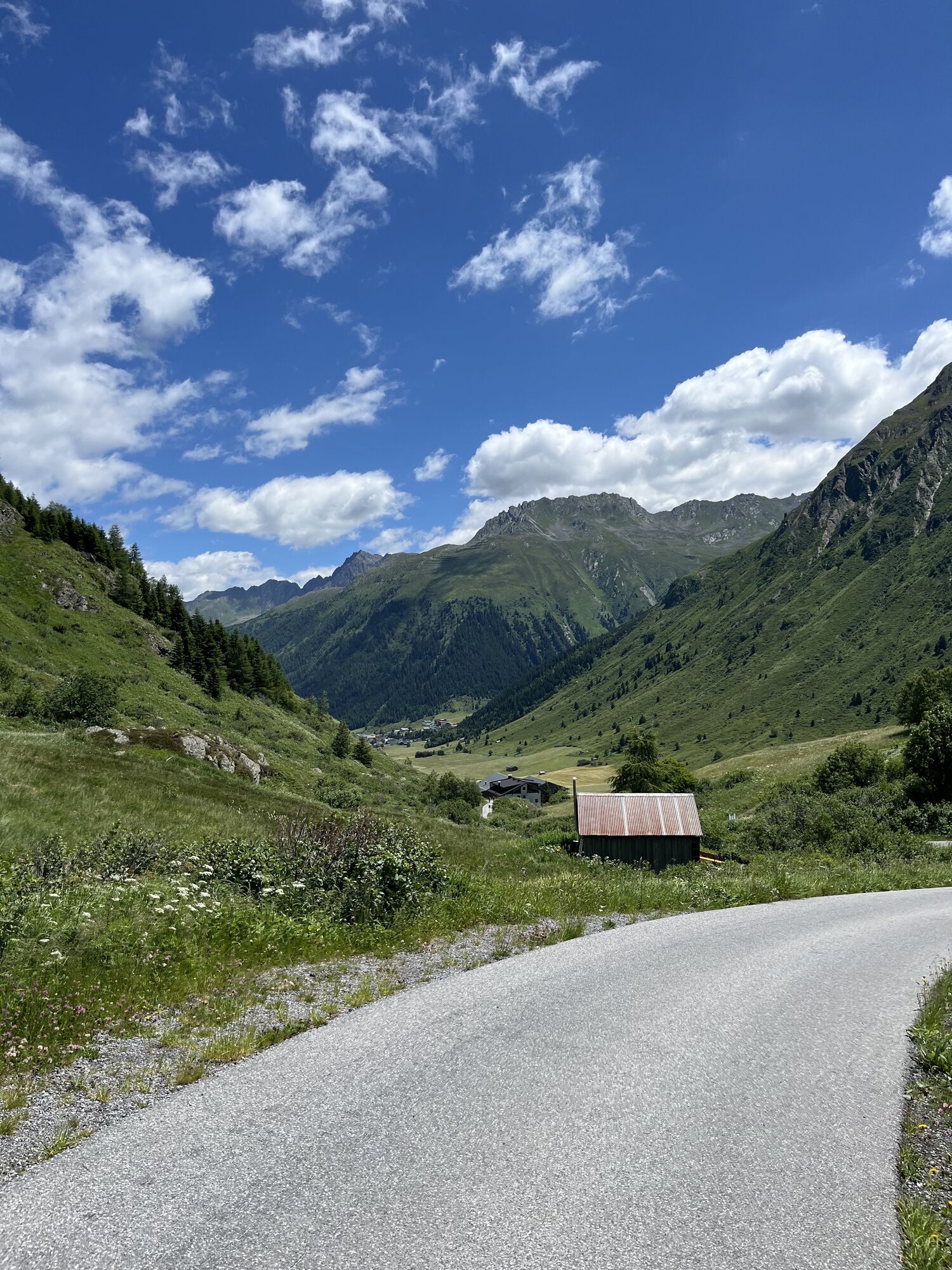
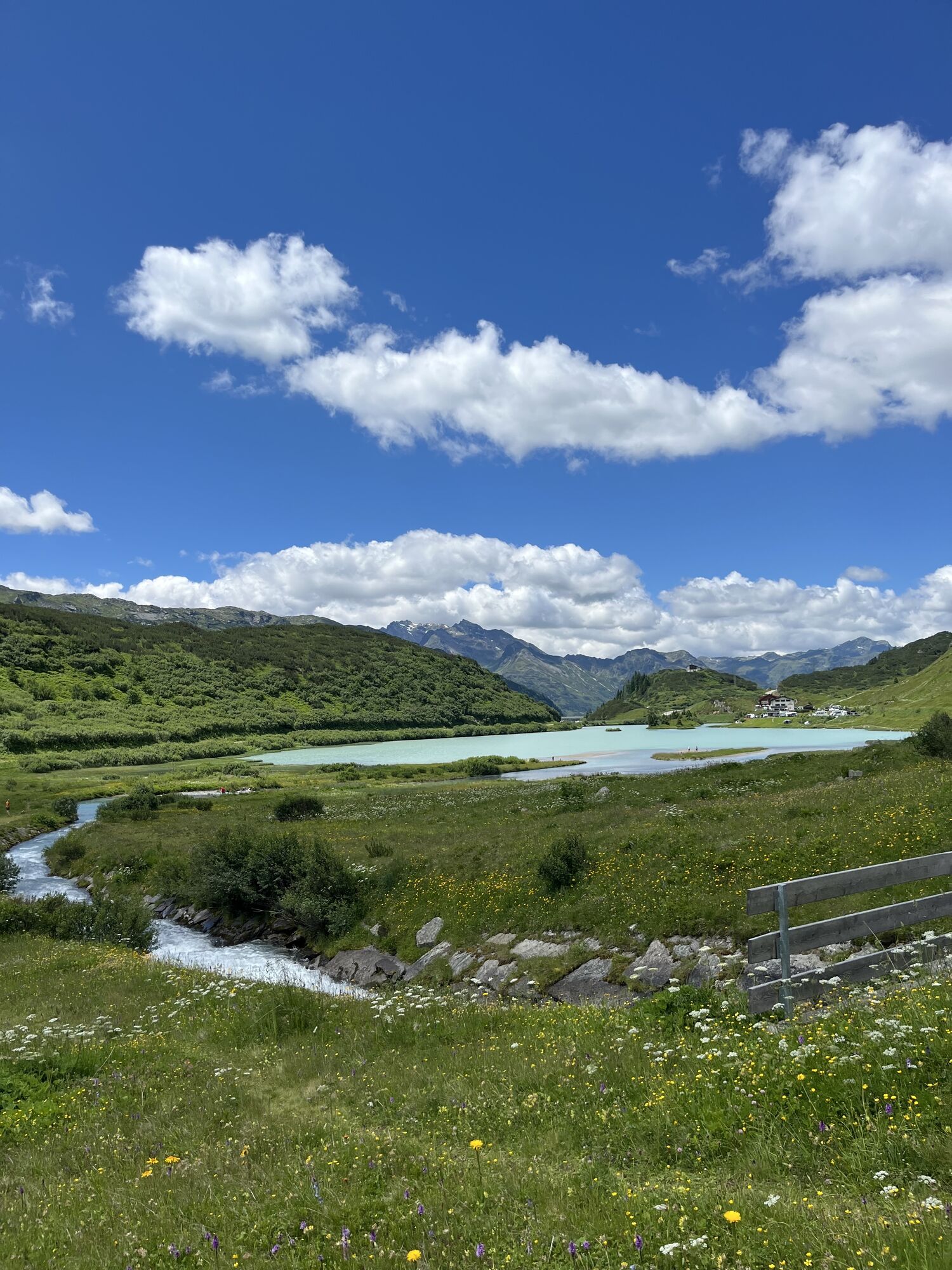
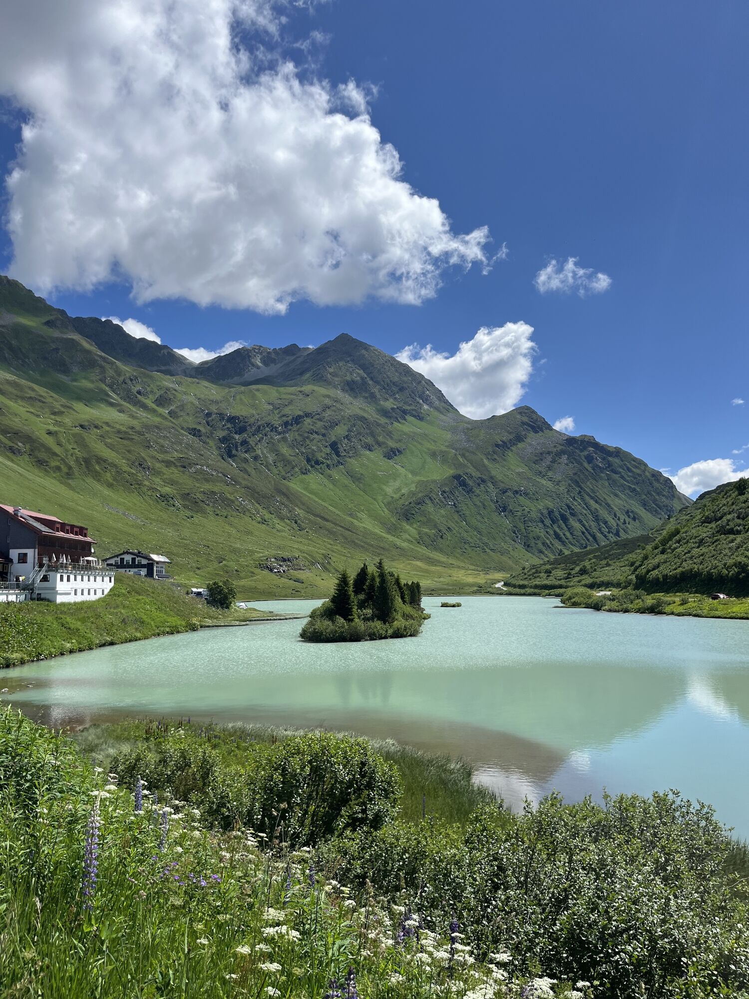
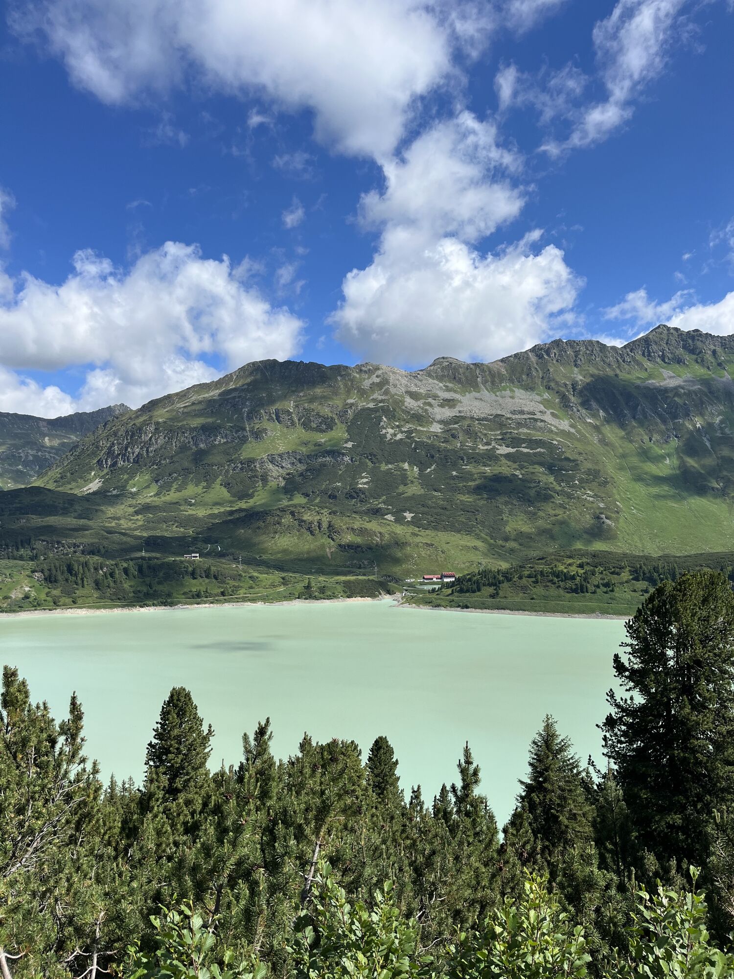
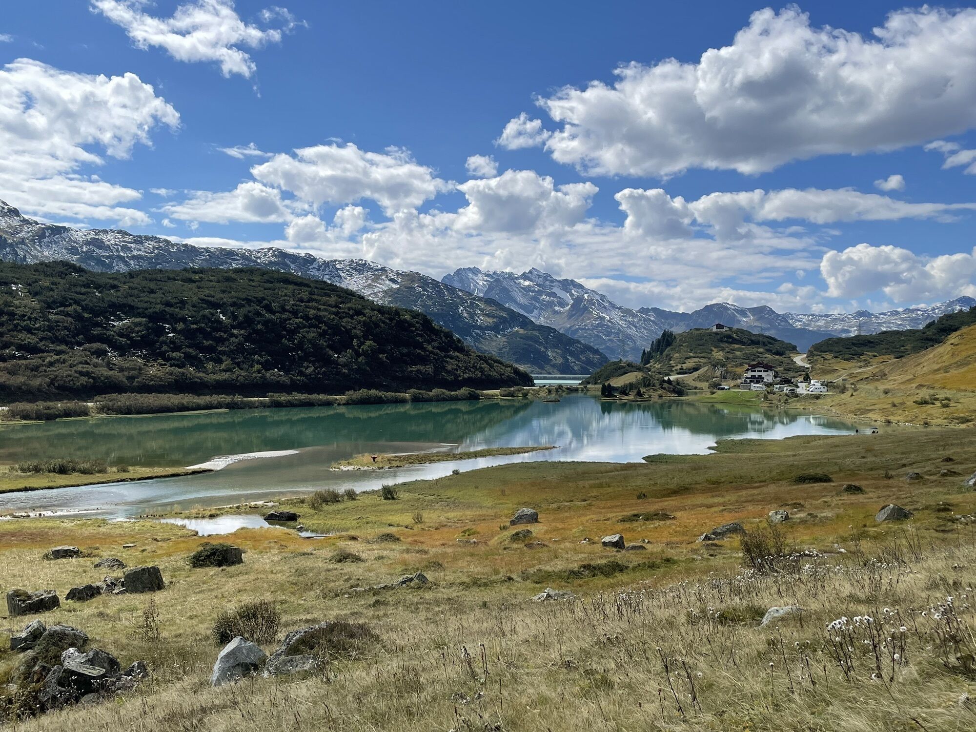
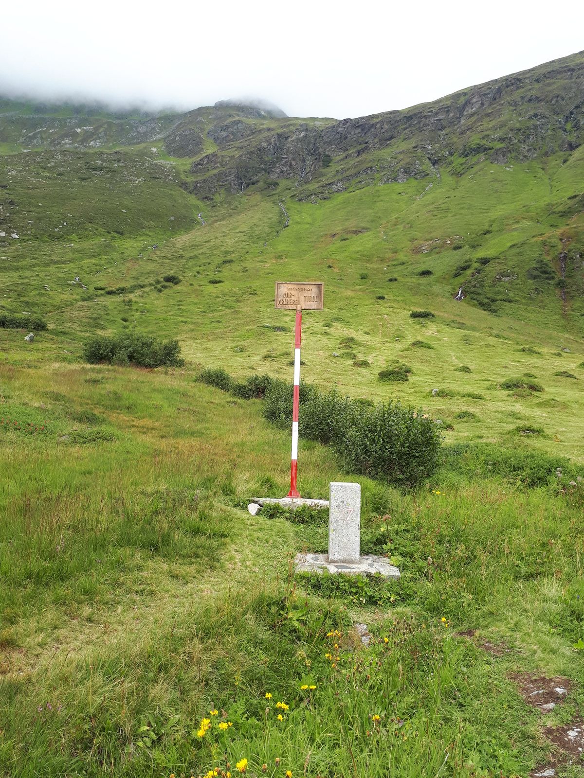
The gondola lift takes you to the Alpkogel mountain station at an altitude of around 1,974 meters. From here the trail leads you a little up- and later downhill towards the valley station of the “Breitspitzbahn”. Walk until you reach the “Kops” reservoir. From there you have the choice. If you take a left here, you can walk on the reservoir bridge until the kiosk and enjoy beautiful alpine views of the surrounding mountains. If you take a right, you aim directly for the “Alpengasthof Zeinisjoch”, which lies peacefully at the shores of the lake Zeinis. On the way down to Galtür, you not only pass the border between Tirol and Vorarlberg but also the European watershed of Rhein and Donau. Take the old Zeinis-road to Wirl and further down to Galtür.
Alternative suitable for buggies:
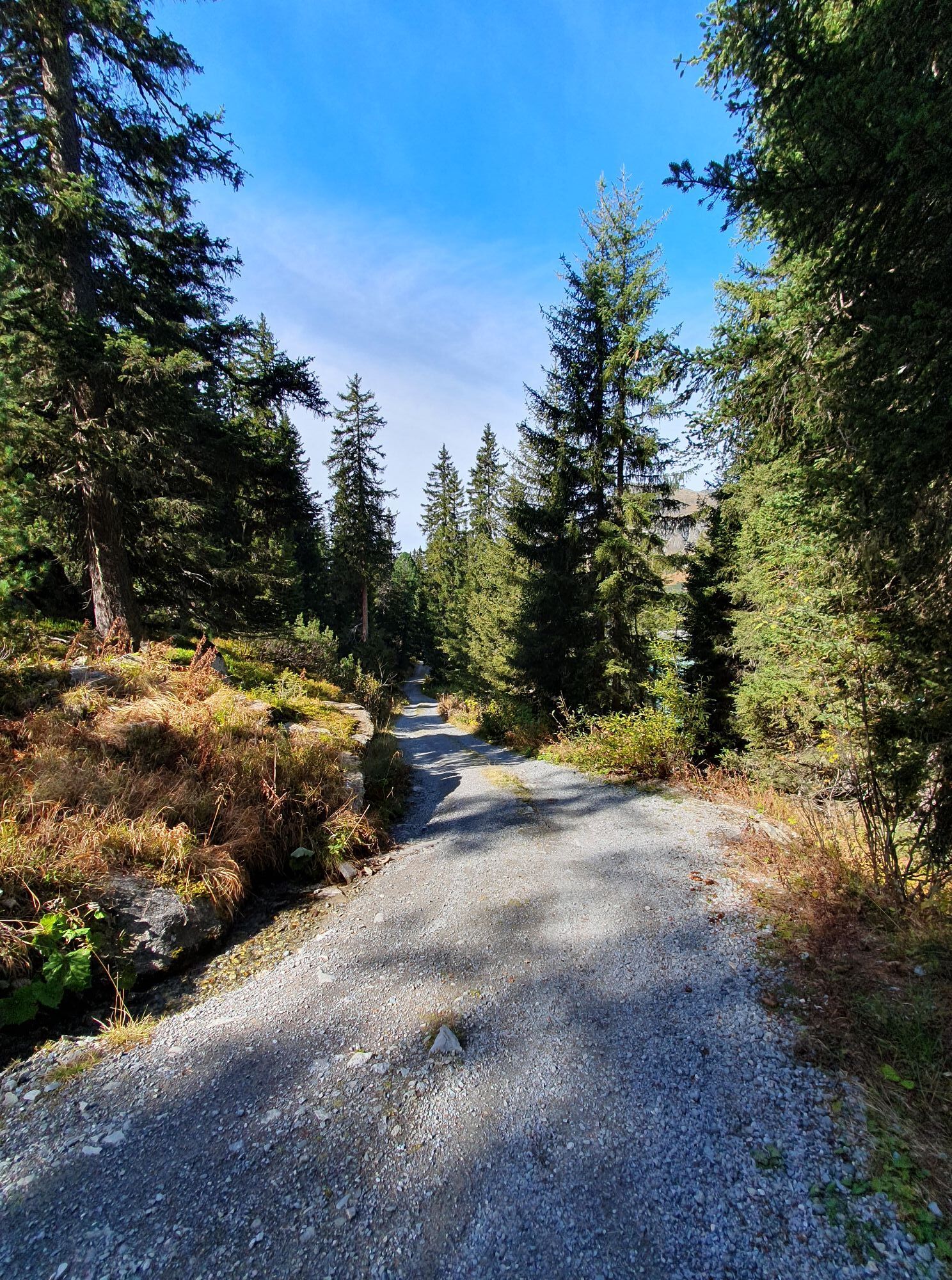
On the way down to the “Kops” reservoir, you can choose to take a broad path to enjoy the hike without barriers.

Gasthof Zeinisjoch, Kiosk Kopsseestüberl
TVB Paznaun-Ischgl Infobüro Galtür
Oui
Oui
Oui
Birkhahnbahn Galtür
Webcams de la tournée
Ballunspitzbahn
Galtür - Kopssee
Galtür - Dorf
Galtür - Kopssee
Galtür - Kopssee
Galtür - Kopssee
Galtür - Kopssee
Galtür - Kopssee
Galtür - Hotel Luggi
Breitspitzbahn
Breitspitzbahn
Breitspitzbahn
Breitspitzbahn
Breitspitzbahn
Breitspitzbahn
Breitspitzbahn
Heilbronner Hütte
Heilbronner Hütte
Heilbronner Hütte
Wohlfühlpension Garni Tirolerhof
Activités le long du parcours
Parcours populaires à proximité
- 4,8
Hiking trail Piz Buin - view
moyenRandonnée 14,4 km - 4,8
Heilbronner lodge
moyenRandonnée 13,0 km - 4,4
Sentier du sommet Madrisella
moyenChemin thématique 10,8 km - 5,0
Menta Alm - Scheibenalm
facileRandonnée 11,4 km - 2,8
Bielerhöhe and circular hike around the Silvretta reservoir
moyenRandonnée 13,1 km - 4,7
Jamtal lodge
moyenRandonnée 19,6 km - 5,0
Lac Wiegensee-Kopssee
moyenRandonnée 8,17 km - 4,4
Vom Kopssee zur Breitspitze Gemeinde Gaschurn, Vorarlberg/Österreich
moyenRandonnée 12,5 km - 4,7
Parcours circulaire Alpgues
moyenChemin thématique 9,36 km - 5,0
Großer Piz Buin (3.312m), Normalweg 2019 über Ochsentaler Gletscher
difficileRandonnée d'altitude 24,1 km

Randonnée et suivi


Ne manquez pas les offres et l'inspiration pour vos prochaines vacances
Votre adresse électronique a été ajouté à la liste de diffusion.