


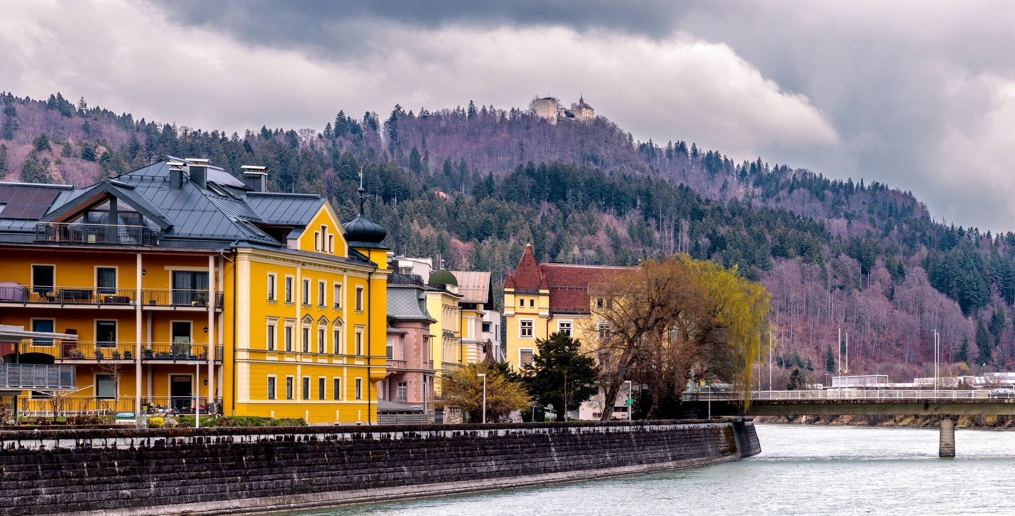
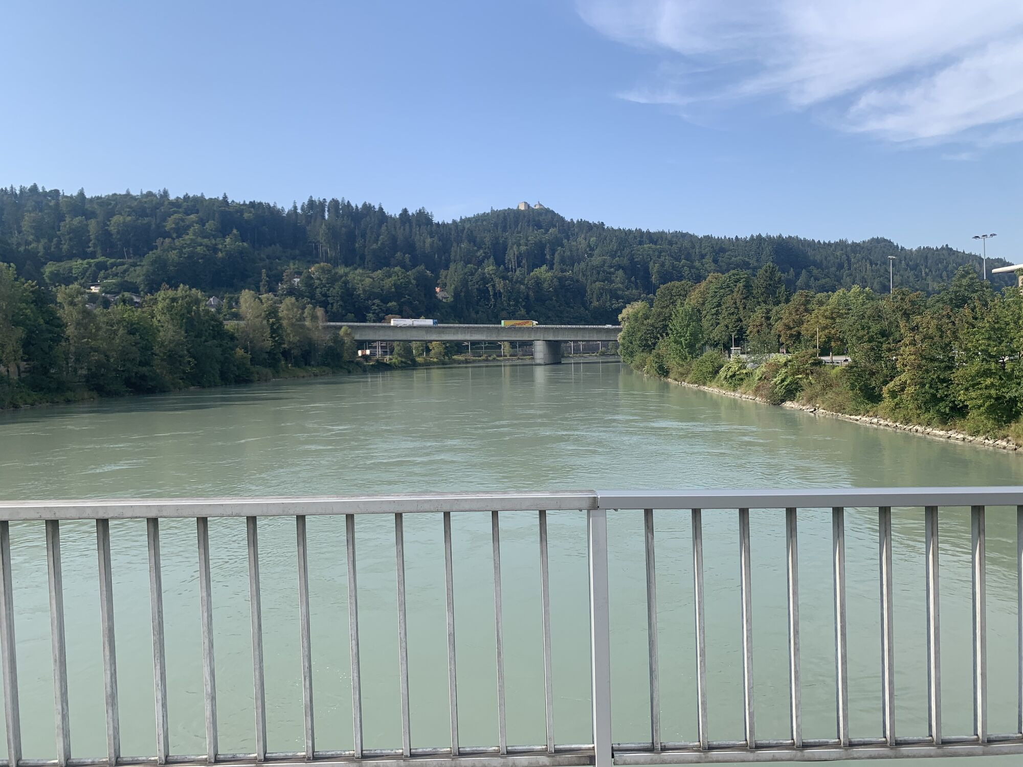
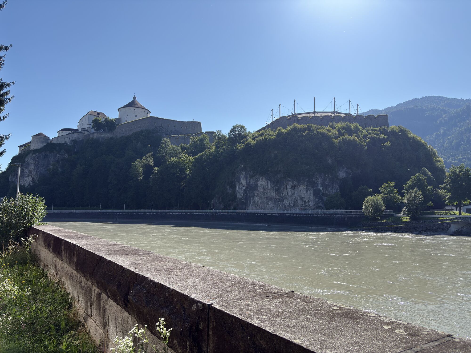
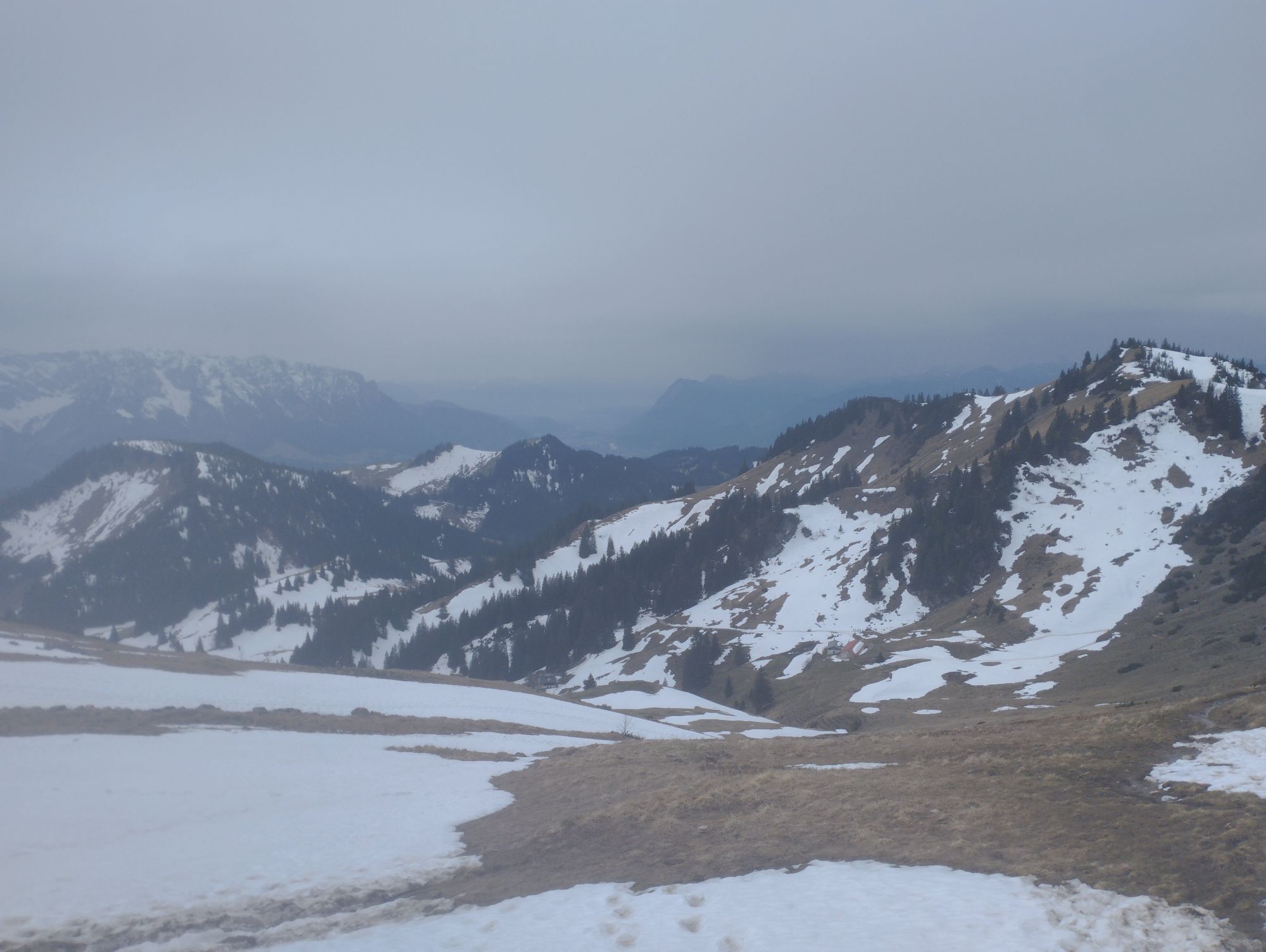
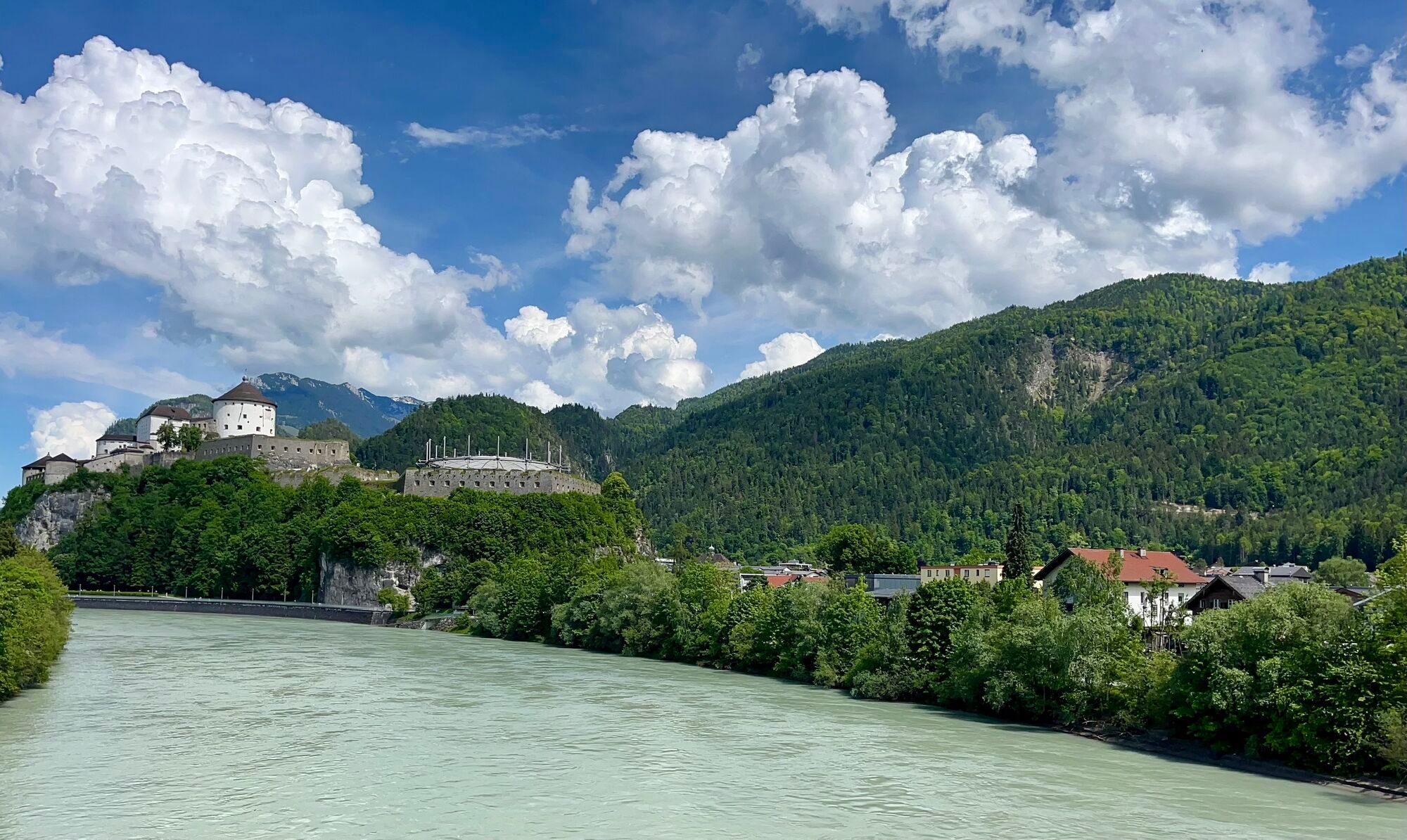
Around Kufstein


From the parish church of Zell to the Inn, which is crossed. Along the Inndamm to the mouth of the Kaiserbach into the Inn. Turn right here towards the mountains. Cross the Kaiserbach at the foot of the...
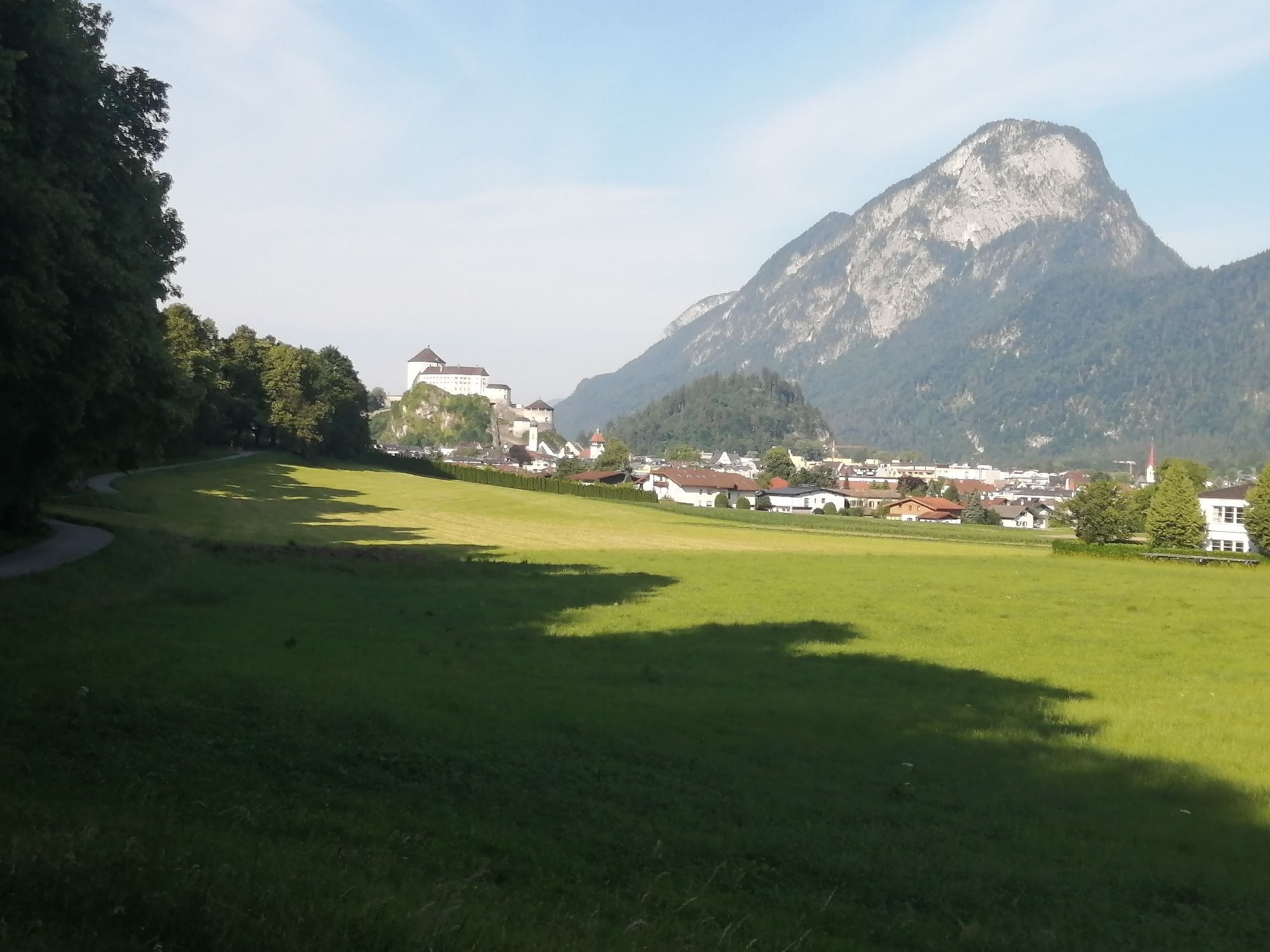
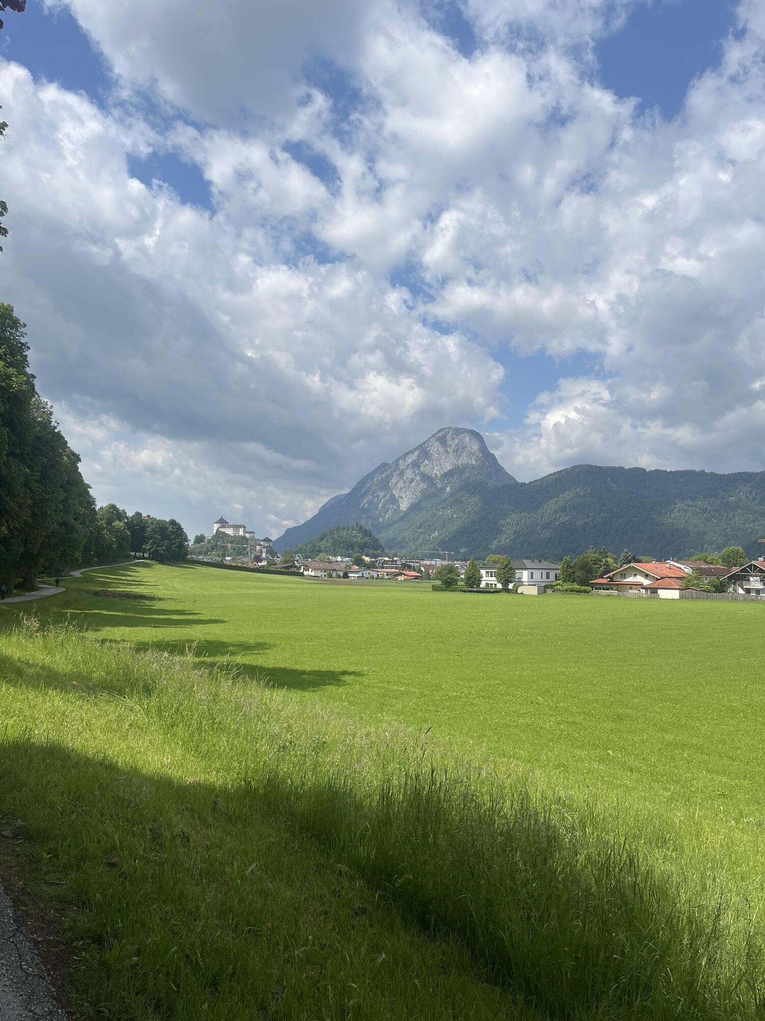
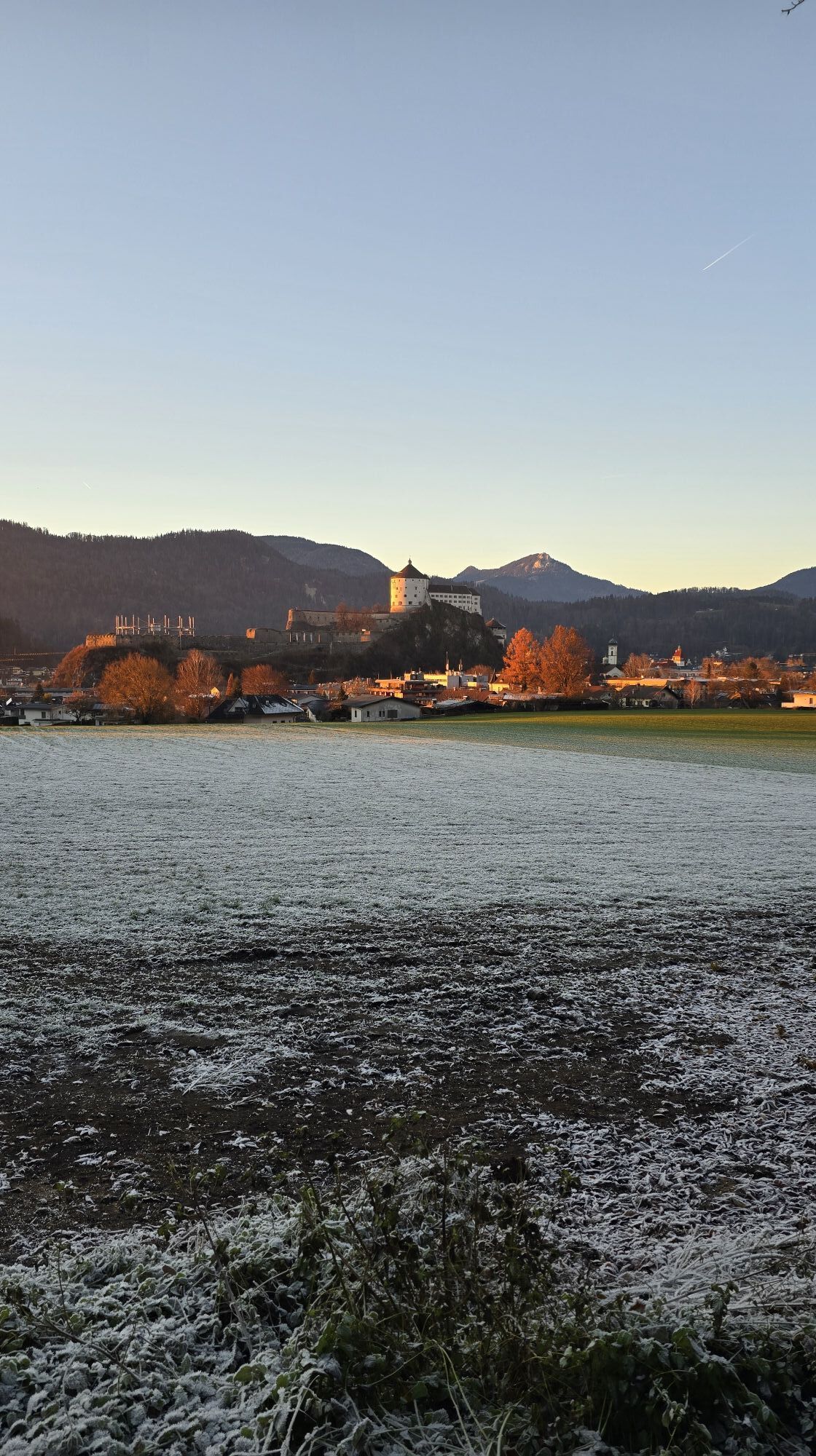
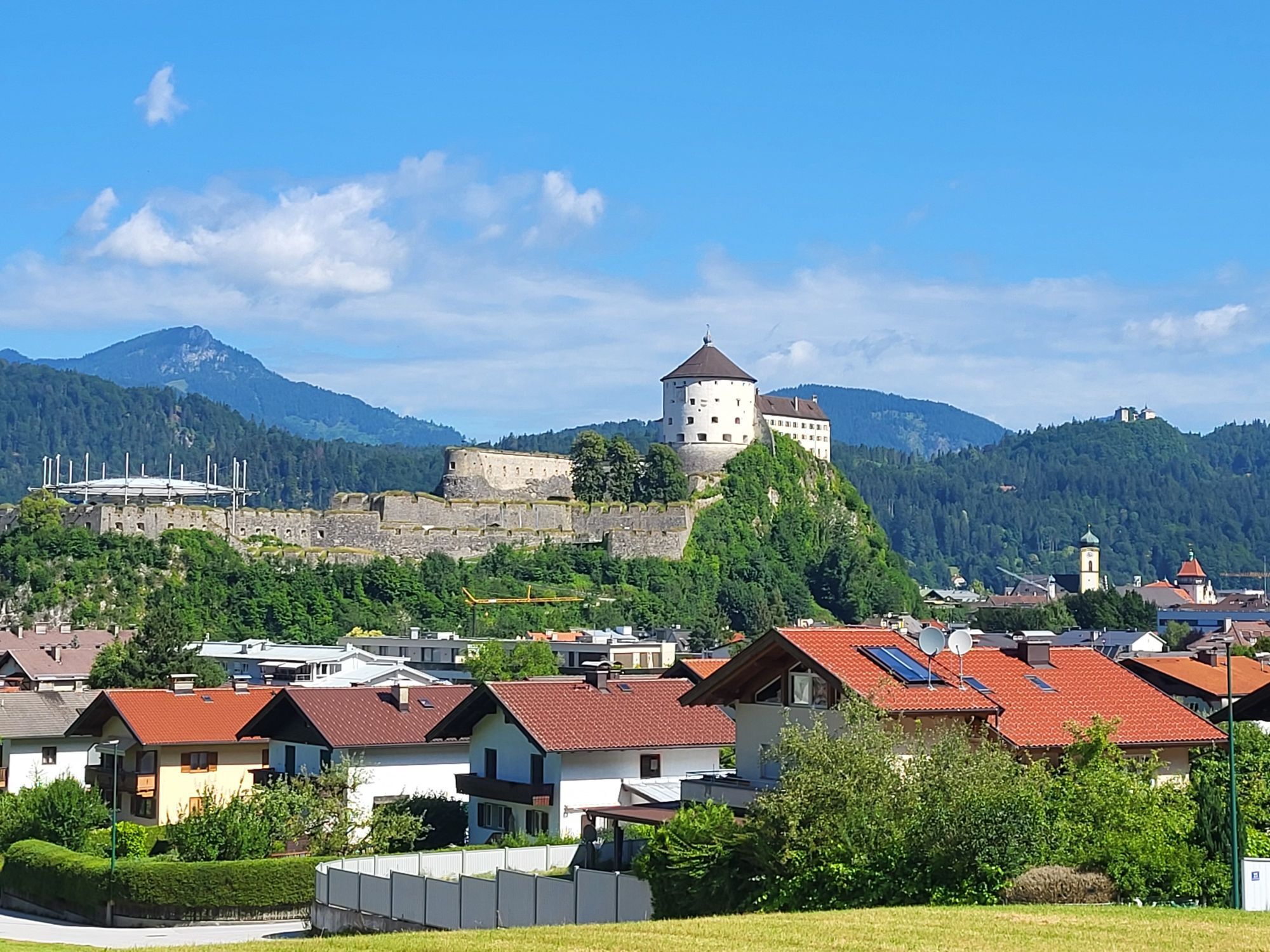
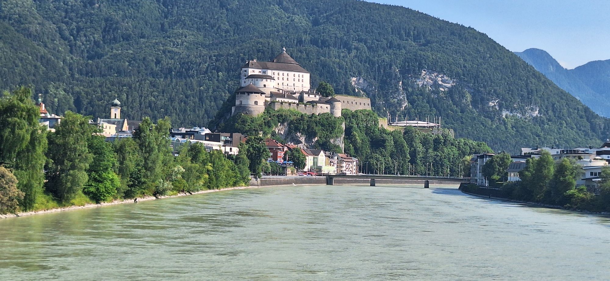
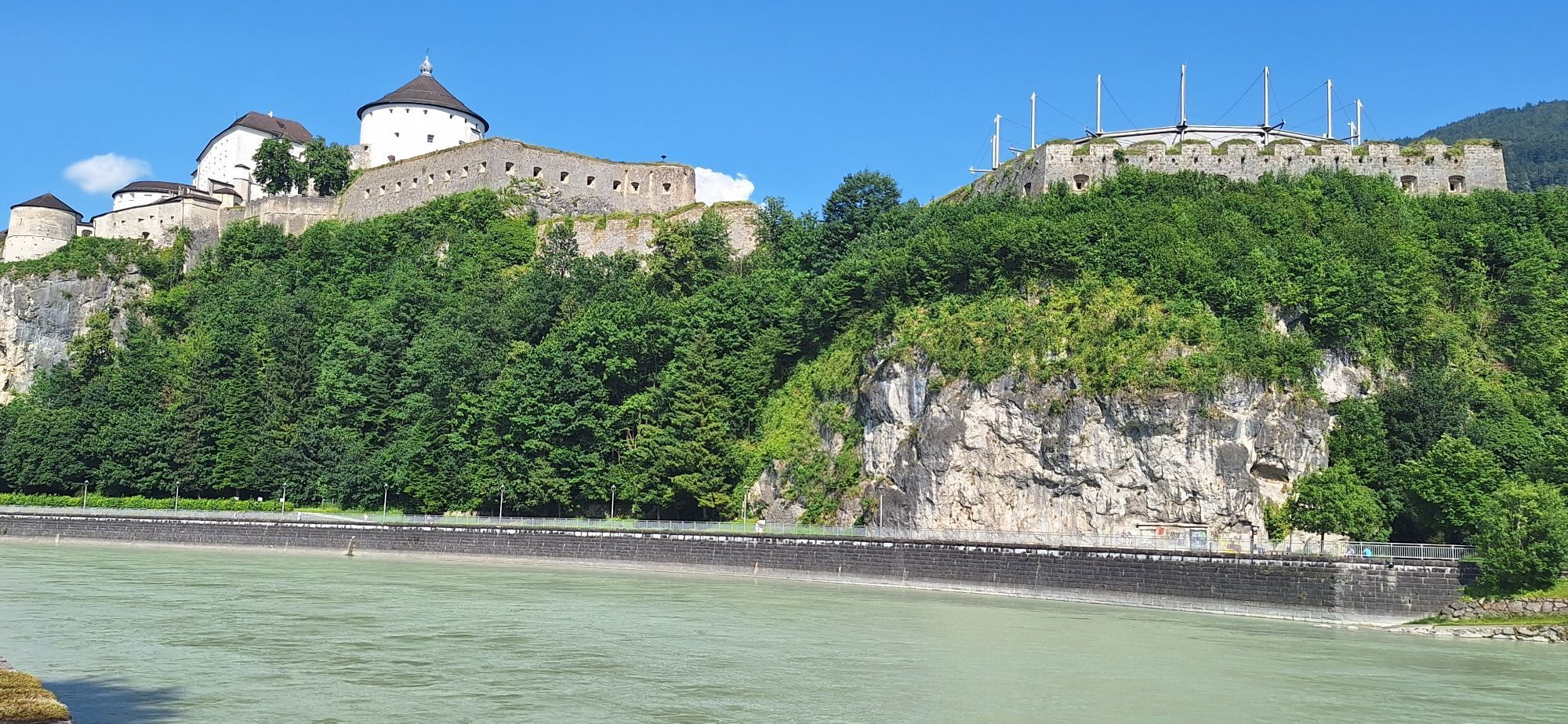
From the parish church of Zell to the Inn, which is crossed. Along the Inndamm to the mouth of the Kaiserbach into the Inn. Turn right here towards the mountains. Cross the Kaiserbach at the foot of the Kaisertal valley and continue south along the edge of the forest to the Weissach district. Again along the Inn to the bridge, cross it and take the same way back to Zell. The destination is the clubhouse of the hiking group Kufstein.

Snacks (e.g. fruit, muesli bars, wholemeal breads) and drinks (allow for sufficient liquid),
First aid kit cell phone with full battery,
Hiking map and guide literature,
Sun protection (sunscreen and glasses, cap).
Arrival is possible by car or by public transport. The train station Kufstein is only a few minutes walk from the starting point.
With the KufsteinerlandCard within the region bus free of charge.Â
Park & Ride Kufstein train station, free of charge.
Parcours populaires à proximité
-
4,7
Musikantensteig zur Naunspitze
moyenRandonnée 8,96 km -
5,0
Stripsenjoch Klettersteige/ Rundwanderung von Griesener Alm über Stripsenjochhaus und Feldberg
moyenVia ferrata 10,2 km -
4,6
Hintersteinersee
moyenRandonnée 9,87 km -
4,5
Über Hintersteinersee und Walleralm aufs Hochegg
facileRandonnée 12,2 km -
4,5
Wanderung: Spitzstein und Altkaseralm von Sachrang
moyenRandonnée 4,03 km -
4,5
Wanderung um den Hintersteinersee
facileRandonnée 5,29 km -
4,9
Kirchdorf: Kaiserbachtal - Stripsenkopf und Feldberg
difficileRandonnée 12,6 km -
4,8
Ellmauer Tor (22.07.2020)
moyenRandonnée 9,32 km -
4,2
Bergdoktor Wohnhaus "Gruberhof" (Köpfing Hof) Rundeweg-Söll
facileRandonnée 8,70 km -
4,6
Pyramidenspitze, Vordere Kesselschneid
difficileRandonnée 12,8 km
Randonnée et suivi


Ne manquez pas les offres et l'inspiration pour vos prochaines vacances
Votre adresse électronique a été ajouté à la liste de diffusion.