






Kleiner Pölven mountain route


From the Franzlhof, take the trail in the direction of "Hochfilzer". On a comfortable gravel path you hike along the edge of the forest on the well-known Söller "Sunnseitweg", past the Oberkollerhof and...
From the Franzlhof, take the trail in the direction of "Hochfilzer". On a comfortable gravel path you hike along the edge of the forest on the well-known Söller "Sunnseitweg", past the Oberkollerhof and the "Kollerblick". After the Magic Stone, also leave the Pirchmooser Chapel on your left and turn off at the signpost "Pfötsching Bassin" onto the trail towards Kleiner and Großer Pölven.
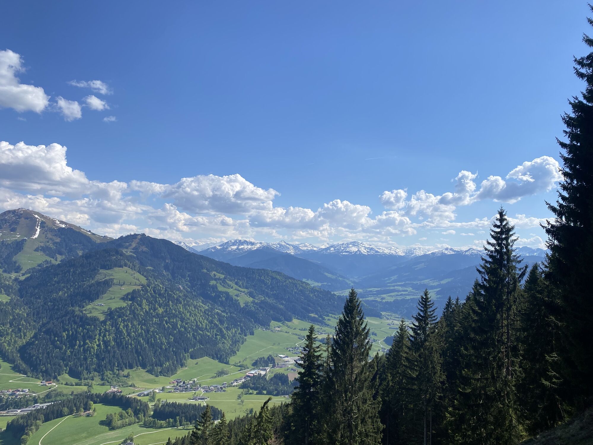
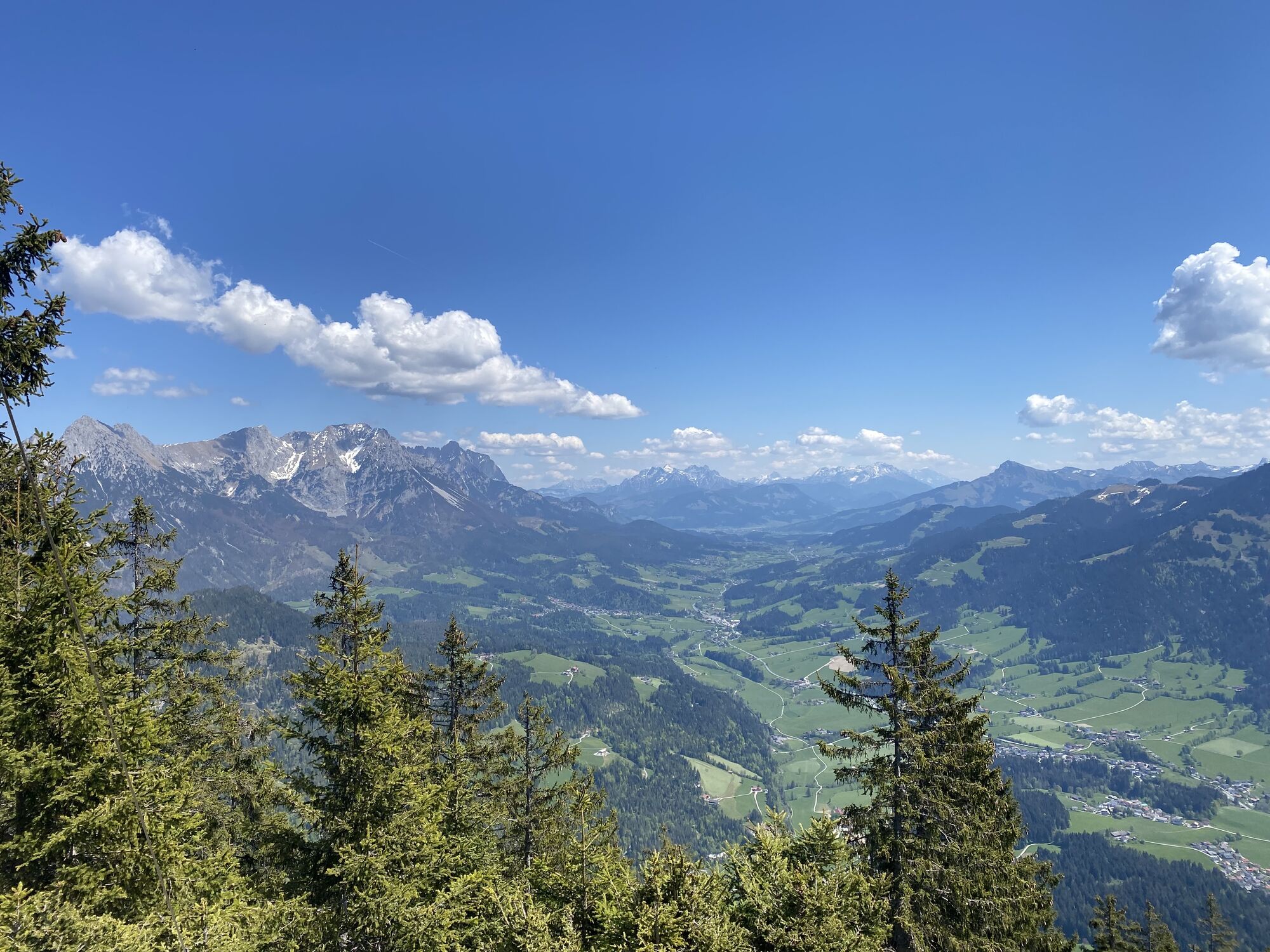
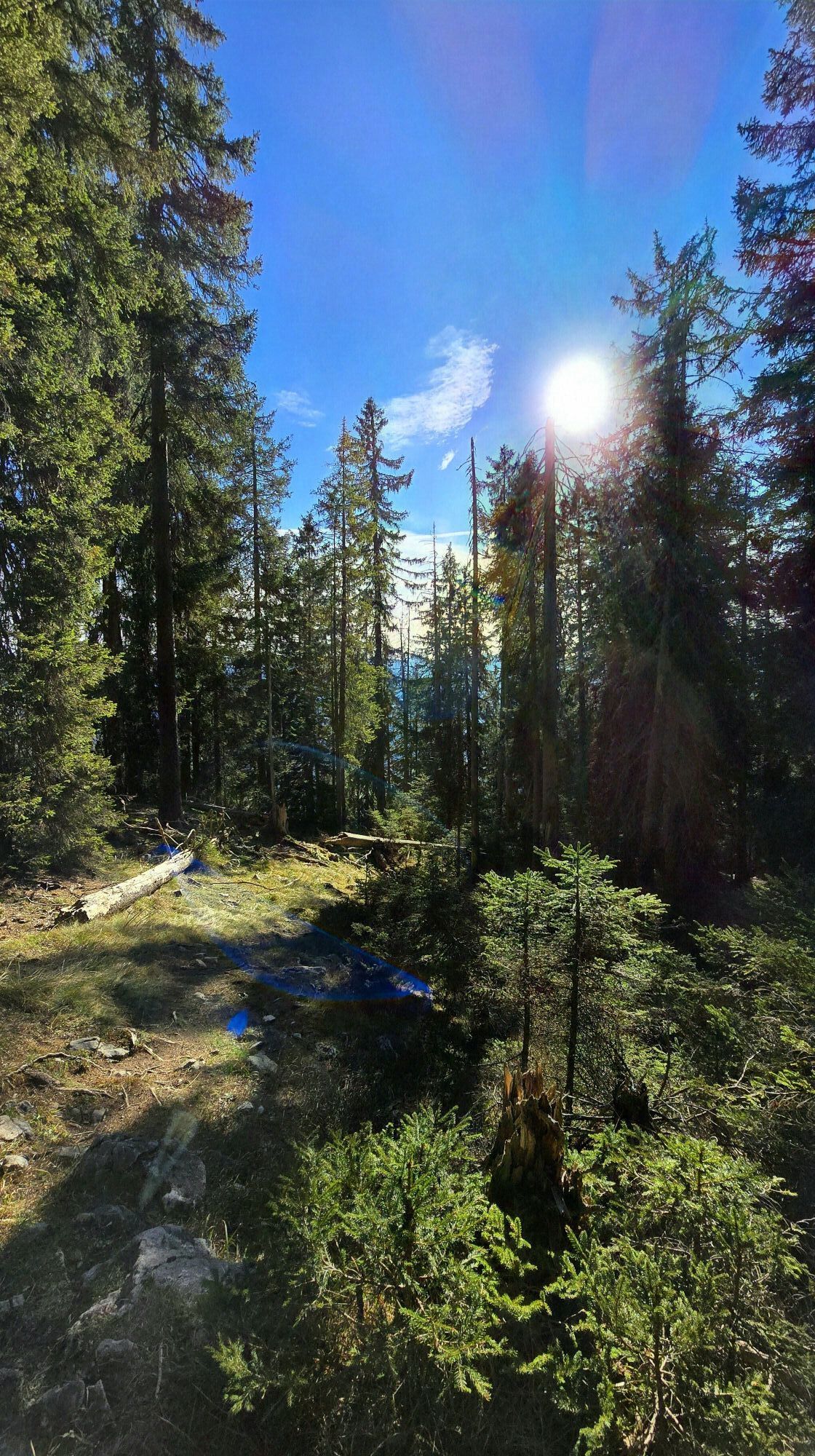
Shortly after the Pfötschinghof farm, a sunken path branches off slightly to the right from the forest road. Follow this uphill and cross the forest road again until you reach the next fork. A sign with the following saying sums up the rest of the trail: "The path is steep, the path is long, shift back to first gear". You reach the edge of the forest via wonderful root paths that become steeper and steeper. After the turnstile, the view opens up to the Pölven with its striking south face. Continue on the forest road to the right uphill to the unmanaged Reiteralm.
Above the alpine pasture, follow the path along the edge of the forest in many serpentines to the upper end of the alpine pasture. Cross this at the edge of the forest in an easterly direction. Go through the turnstile back into the forest via wooden steps and a steep climb to a first rope insurance. Here there is another incentive: "No matter how steep the path, you can always do something!
The path leads across to the right and then to the left again, where you have to pass another short sloping passage with rope protection. Slowly the terrain becomes flatter, on a knoll you reach the fork between Kleiner and Großer Pölven.
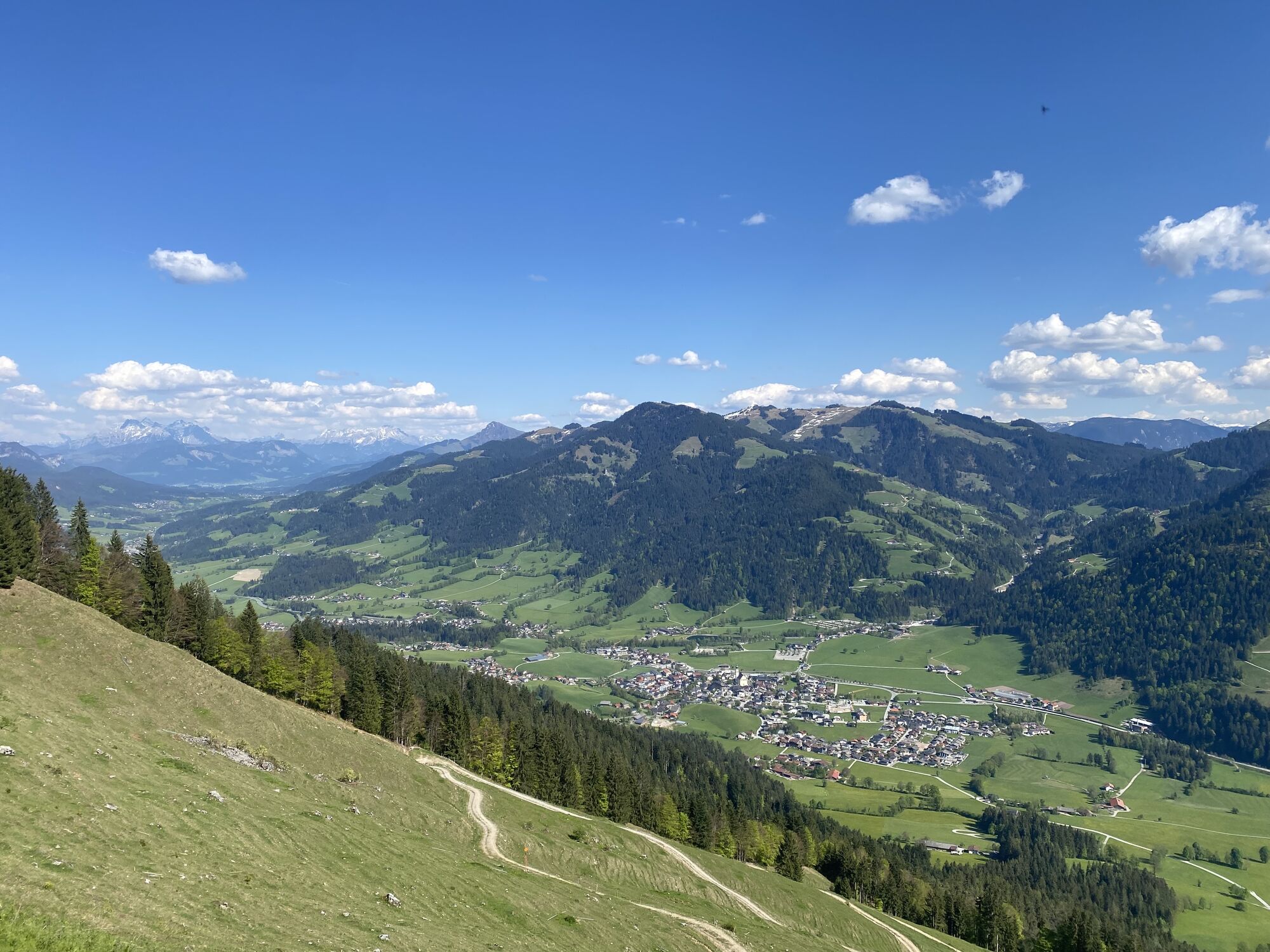
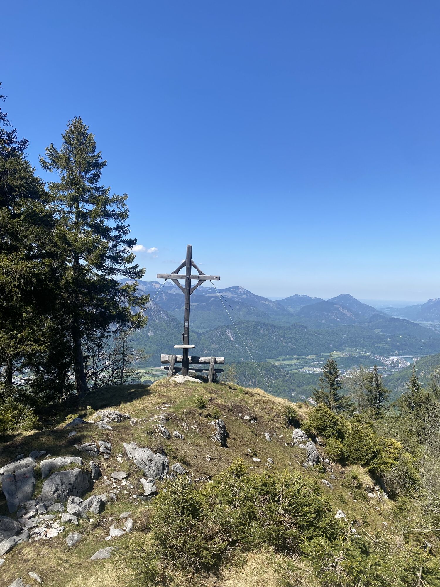
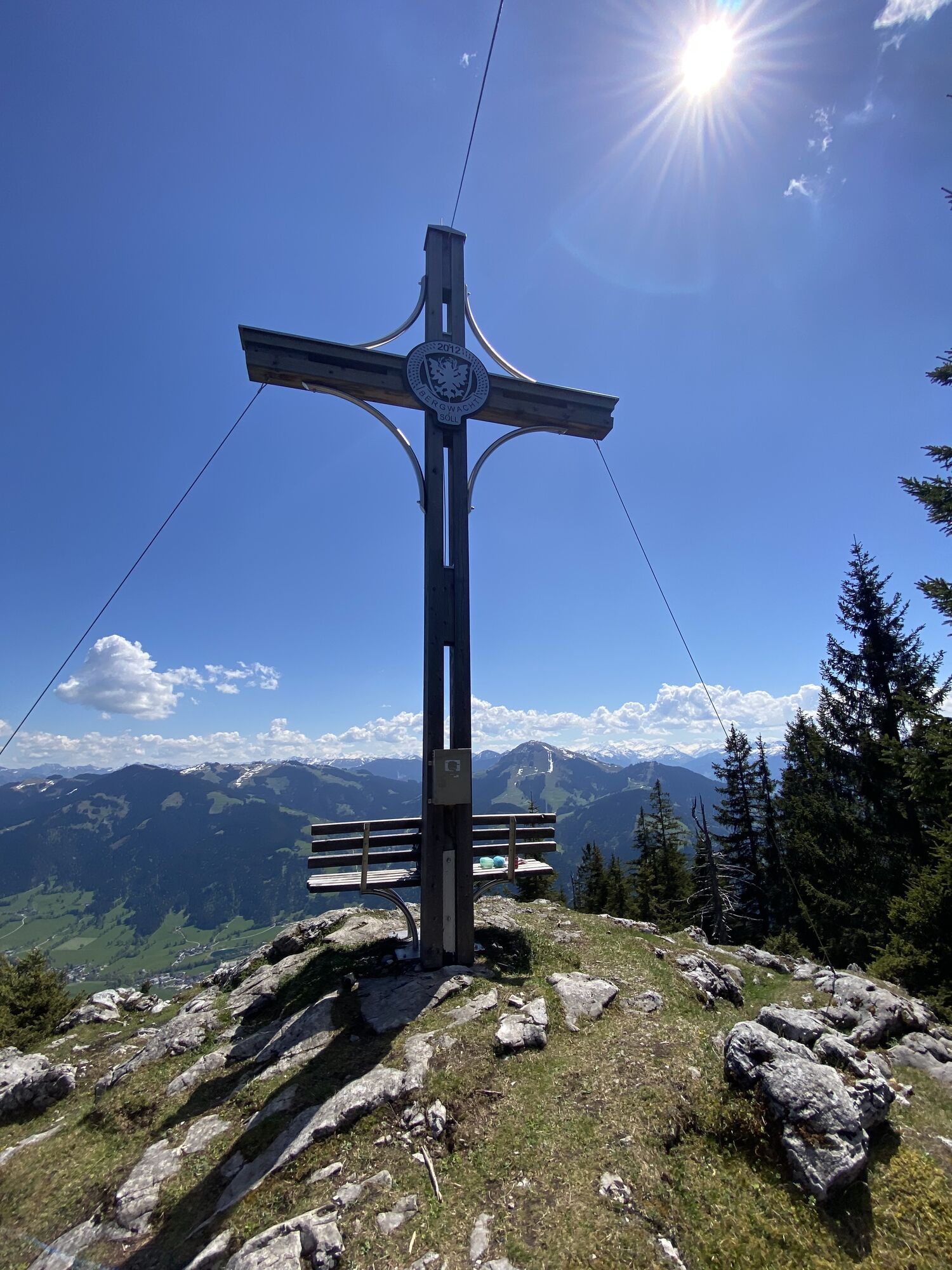
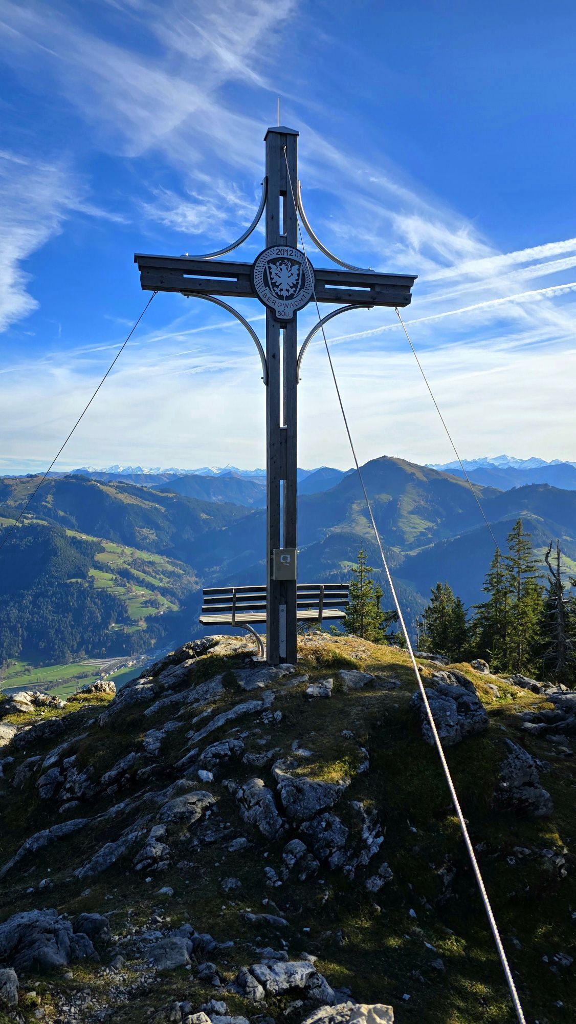
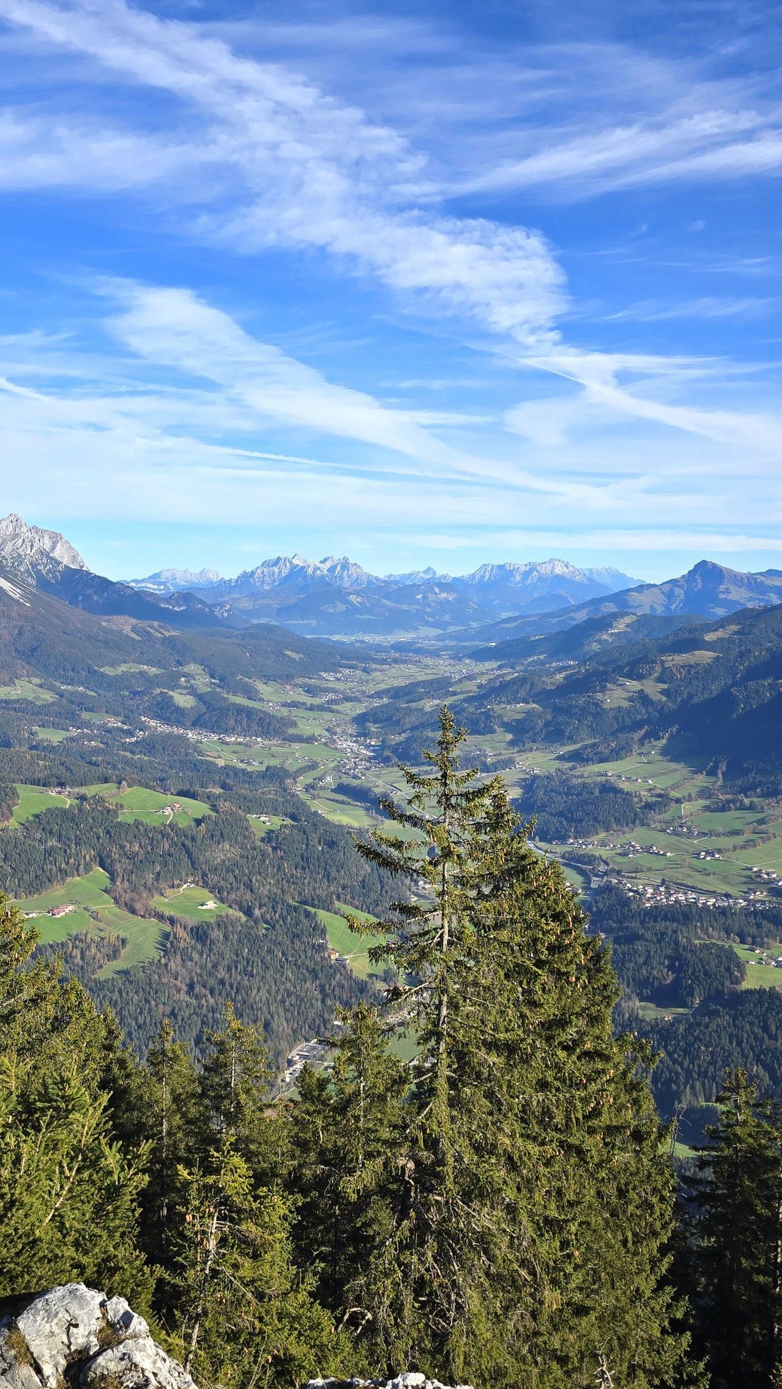
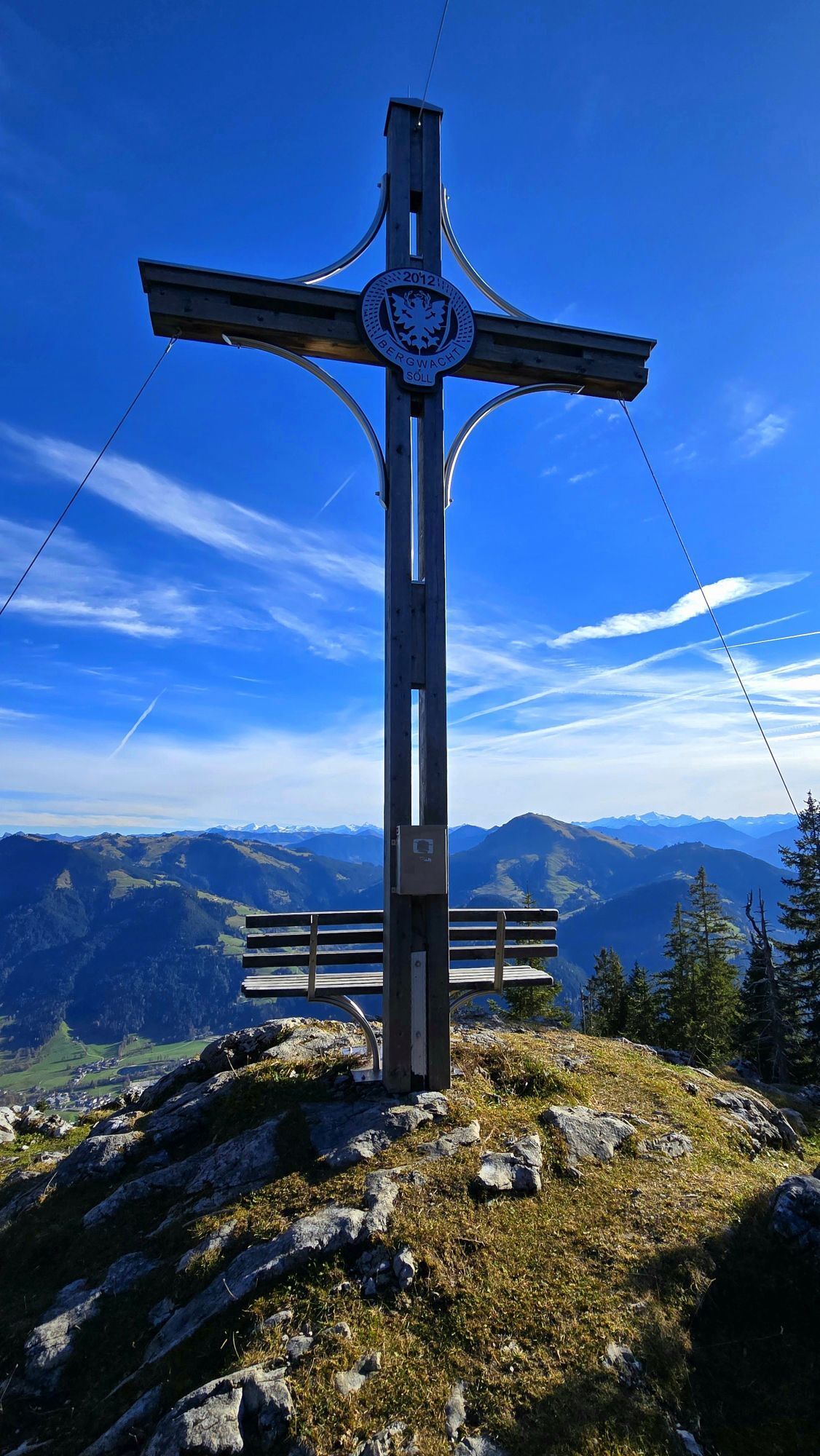
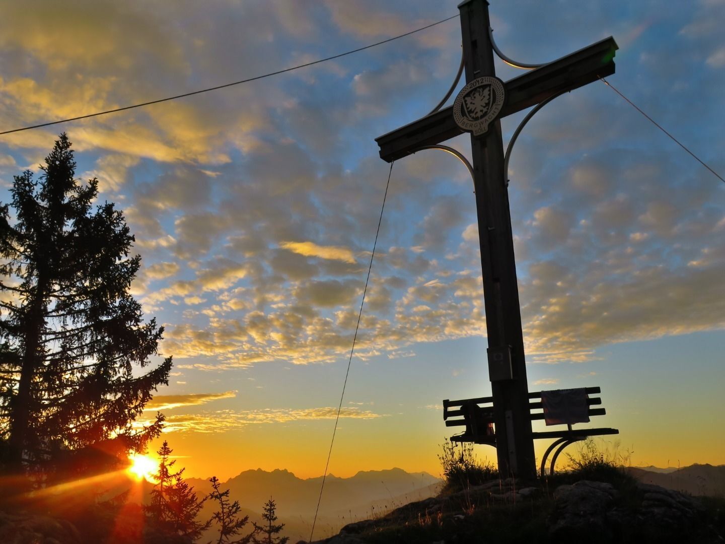
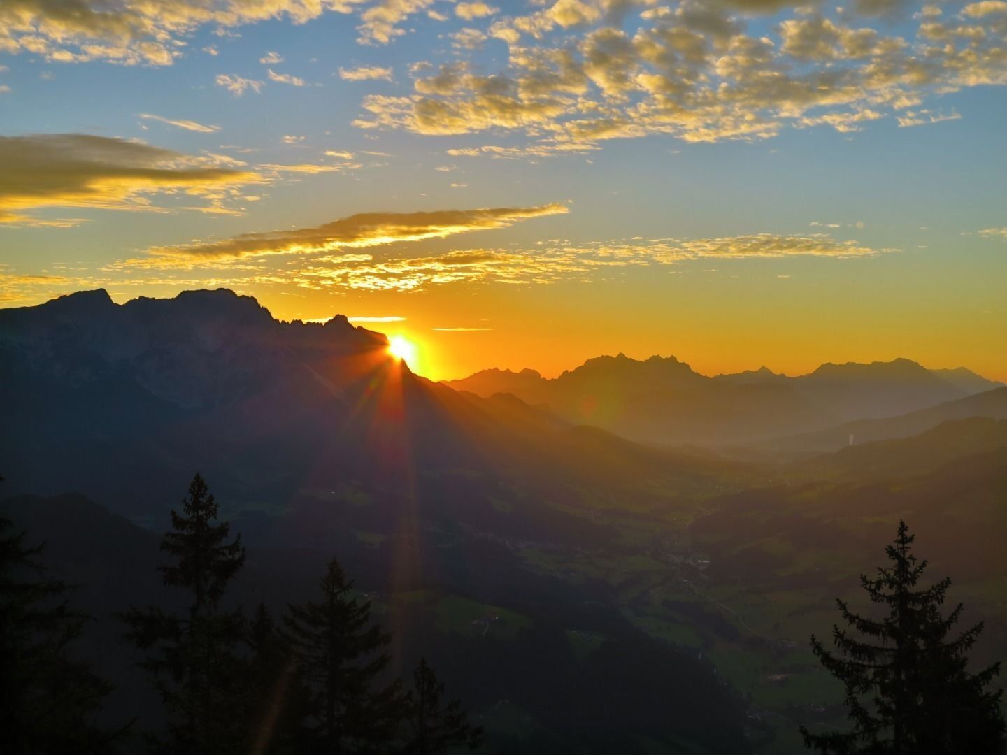
Here you follow the trail on a ridge through the forest to the right in an easterly direction. Past another sign with a saying, you reach the summit of the Kleiner Pölven, where you can soon see the "Söller Kreuz" with a cosy lookout bench and a view of the Hohe Salve. Towards the south-east, a magnificent wide view opens up into the valley to the entire "Sölllandl", flanked by the Wilder Kaiser.
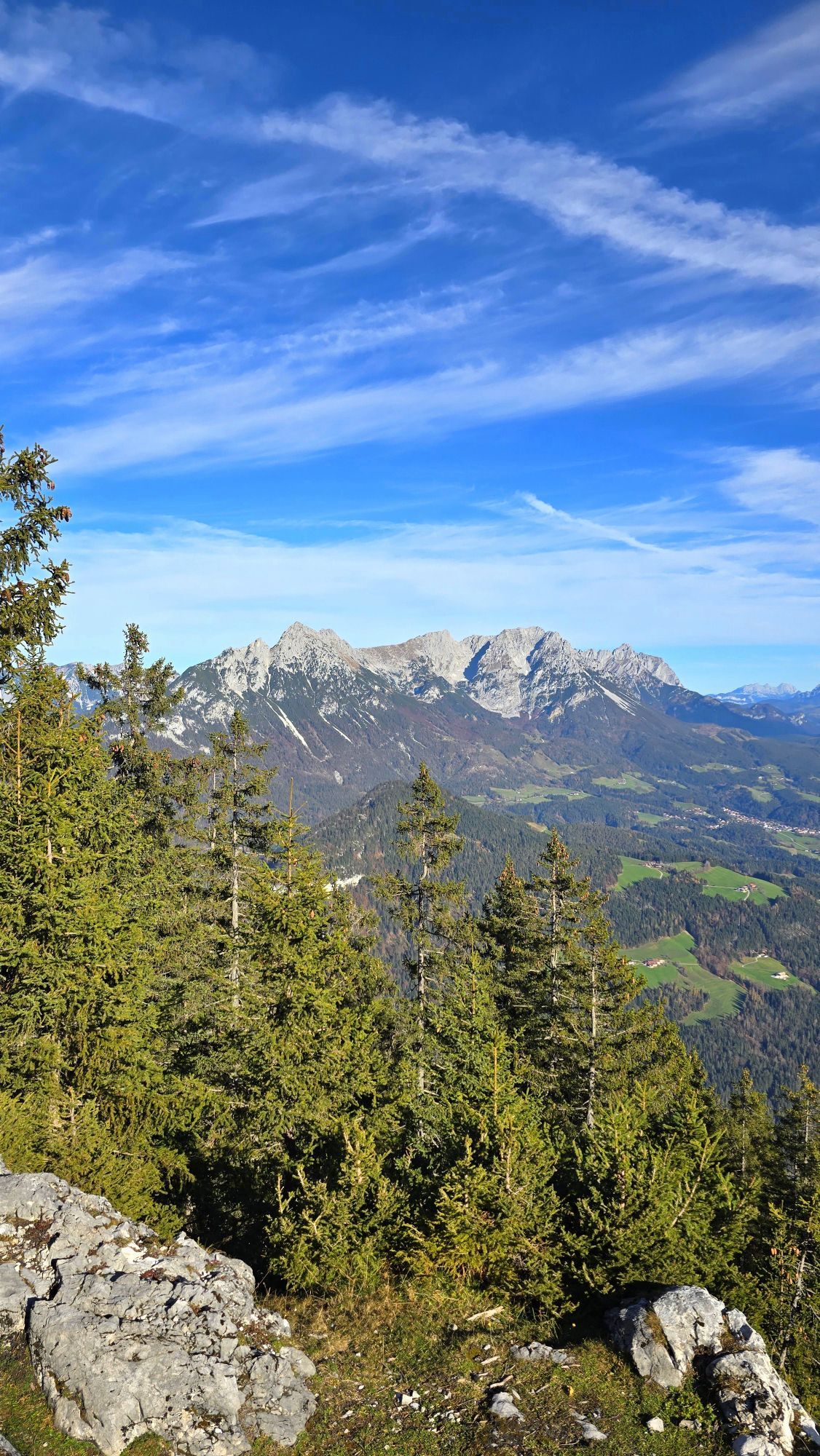
If you haven't had enough yet, you can hike back along the plateau of the Kleiner Pölven to the "Schwoicher Kreuz" - here you have a fantastic view of the Kaisergebirge and Hintersteiner See.
Return to the valley, to the starting point at the Franzlhof, via the same route.

Wilder Kaiser hiking map (1:30.000) is available in the tourist information centres Ellmau, Going, Scheffau and Söll
Rucksack, sturdy hiking/mountaineering boots with anti-slip treaded soles, weather-appropriate hiking gear (breathable), a change of clothes, sun protection (sunglasses, sun cream, lip protection, headgear), waterproofs (rain jacket/poncho, pocket umbrella, rucksack protector), cold protection (hat, gloves), sufficient food and drink, hiking poles (height adjustable) if required, first aid kit incl. rescue blanket and bivouac sack, mobile phone with fully charged battery, headlamp, plastic bag for waste, hiking map, route description and information materials (GPX track), ID, insurance card, cash
Heading from Wörgl, Kufstein or St. Johann on the B178 road, take the exit to Söll and then take the exit to Söll centre (“Söll, Zentrum”) at the roundabout. Drive straight through the village and bear right before the “Giovanni” pizzeria. Follow the road until you reach the hiking starting point at the Franzlhof leisure centre.
KaiserJet/Postbus stop “Söll Dorf”
followed by approx. 10-minute hike to the hiking starting point (Franzlhof leisure centre).
More information at: www.wilderkaiser.info
Franzlhof leisure centre car park, Söll (703 m) – free

Parcours populaires à proximité
-
4,4
Rosskopf
facileRandonnée 7,02 km -
4,9
Schleierwasserfall Runde
moyenRandonnée 5,63 km -
4,9
Gruttenhütte über Klammlweg
moyenRandonnée 5,61 km -
4,9
Route 209: Brechhornhaus-Choralpe
difficileVTT 24,4 km -
5,0
Kirchdorf: Stripsenjoch Klettersteige
difficileVia ferrata 3,76 km -
4,8
Rehbachklamm
moyenRandonnée 7,27 km -
4,8
Stripsenjoch Klettersteige/ Rundwanderung von Griesener Alm über Stripsenjochhaus und Feldberg
moyenVia ferrata 10,2 km -
4,8
Ellmauer Tor (22.07.2020)
moyenRandonnée 9,32 km -
4,7
Musikantensteig zur Naunspitze
moyenRandonnée 8,96 km -
4,7
Hintersteinersee
moyenRandonnée 9,87 km
Randonnée et suivi


Ne manquez pas les offres et l'inspiration pour vos prochaines vacances
Votre adresse électronique a été ajouté à la liste de diffusion.





