


Braunschweiger Hut
From the chapel at Rettenbach Glacier you follow the walking trail to Pitztaler Jöchl car park where the gravel trail to Pitztaler Jöchl starts (in early summer there might be a snow field). In late summer...
From the chapel at Rettenbach Glacier you follow the walking trail to Pitztaler Jöchl car park where the gravel trail to Pitztaler Jöchl starts (in early summer there might be a snow field). In late summer you continue on the cart trail, crossing the marked glacier field towards Rettenbachjoch saddle. The panoramic trail across ridges takes walkers directly to the hut.


From the chapel at Rettenbach Glacier you follow the walking trail to Pitztaler Jöchl car park where the gravel trail to Pitztaler Jöchl starts (in early summer there might be a snow field). In late summer you continue on the cart trail, crossing the marked glacier field towards Rettenbachjoch saddle. The panoramic trail across ridges takes walkers directly to the hut.
It is recommended to wear hiking equipment such as breathable and weather-adapted outdoor clothing, ankle-high mountain boots, wind, rain and sun protection, cap and possibly gloves. It is also important to have enough food, as well as a first-aid package, a cell phone and a hiking map.
For experienced mountaineers that are free from vertigo & surefooted, Very good physical condition, mountain experience & mountain equipment (see notice equipment) necessary, such as alpine security material, good weather conditions recommended. Please pay attention to the current weather report:
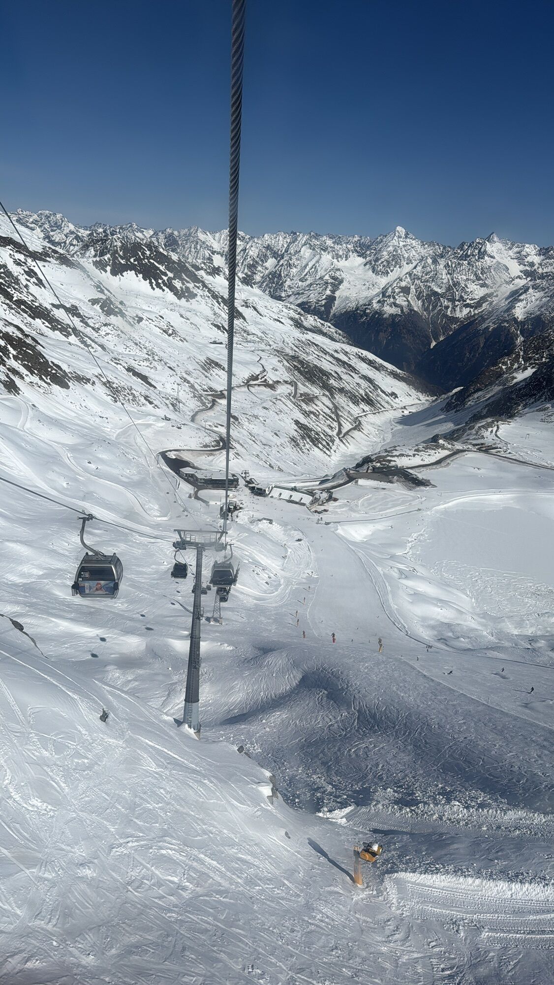
The car drive to the Ötztal valley. Situated in Tirol, the Ötztal valley set off in southerly direction and is the longest side valley in the Eastern Alps. The journey with the car leads you through the Inntal valley to the entrance of the valley and further on through the valley. Among the toll motorways you can also use the country roads. A route planner will show you the easiest and most convenient way: www.google.at/maps
All parking is free during the day.
Parking for several days (eg hike tour):
Parkticket either online or directly at the cash desk of the GaislachkoglbahnWebcams de la tournée
Parcours populaires à proximité
- 4,7
Vent - Kreuzspitze
Randonnée 20,6 km - 4,4
Rundwanderung Hängebrück3
facileRandonnée 6,32 km - 4,7
Parcours circulaire hivernal Brandalm/Burgstein - Längenfeld 204
moyenRandonnées d'hiver 5,44 km - 4,4
Hochtour Wildspitze, 3.768m
moyenRandonnée d'altitude 9,75 km - 4,6
Vent - Wilder Mann - cabane Breslauer - Stableinalm
moyenRandonnée 7,25 km - 3,1
Sentier d'altitude Tiefenbach - village d'alpinisme Vent
moyenRandonnée 10,8 km - 3,7
Refuge Breslauer
moyenRandonnée 4,75 km - 4,1
Hohe Geige über Gawinden und den Westgrat
difficileRandonnée 14,3 km - 5,0
Obergurgl - Ramolhaus
Randonnée 7 km - 4,8
Vent - Martin Busch Hütte - Similaunhütte
moyenRandonnée 13,7 km
Randonnée et suivi


Ne manquez pas les offres et l'inspiration pour vos prochaines vacances
Votre adresse électronique a été ajouté à la liste de diffusion.