






Silbertal
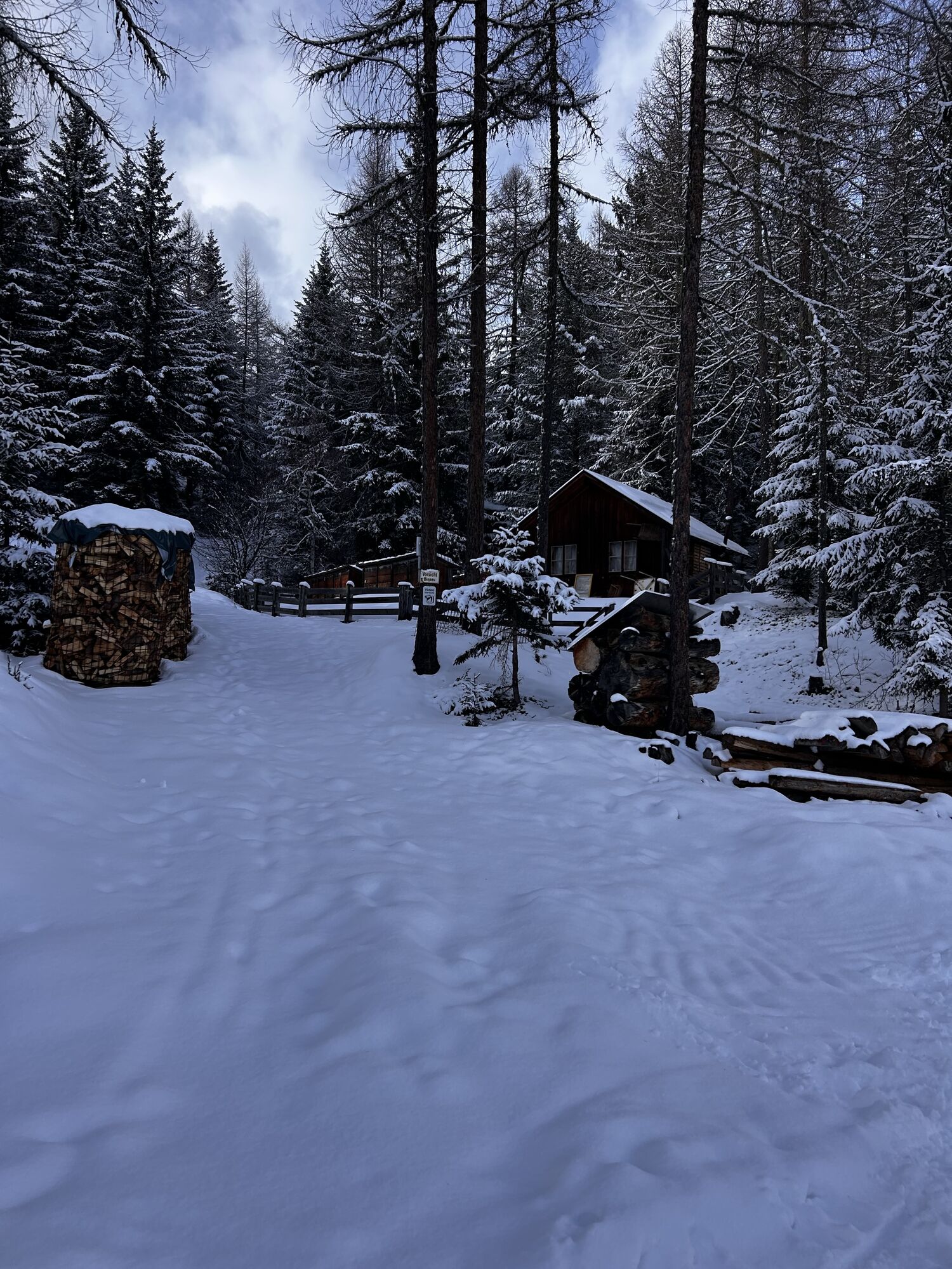
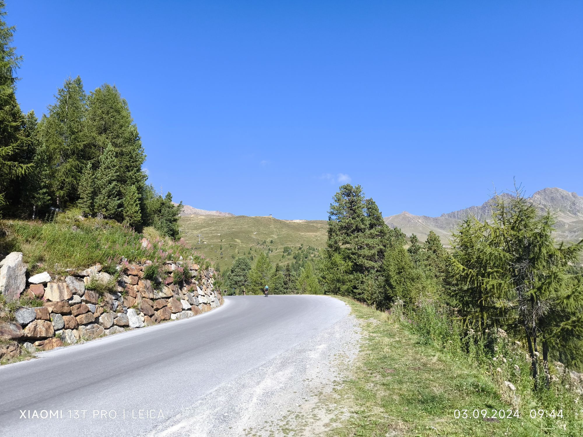
Start your hike in the center of Sölden and walk past the church towards the district of Innerwald. From here, a narrow paved path leads steeply uphill.
Passing through the shady Innerwald forest, you will...
Passing through the shady Innerwald forest, you will reach the Ötztal Glacier Road. Follow this road comfortably until you arrive at the “Stiegele” junction (turnoff to Gaislach / Glacier Road).
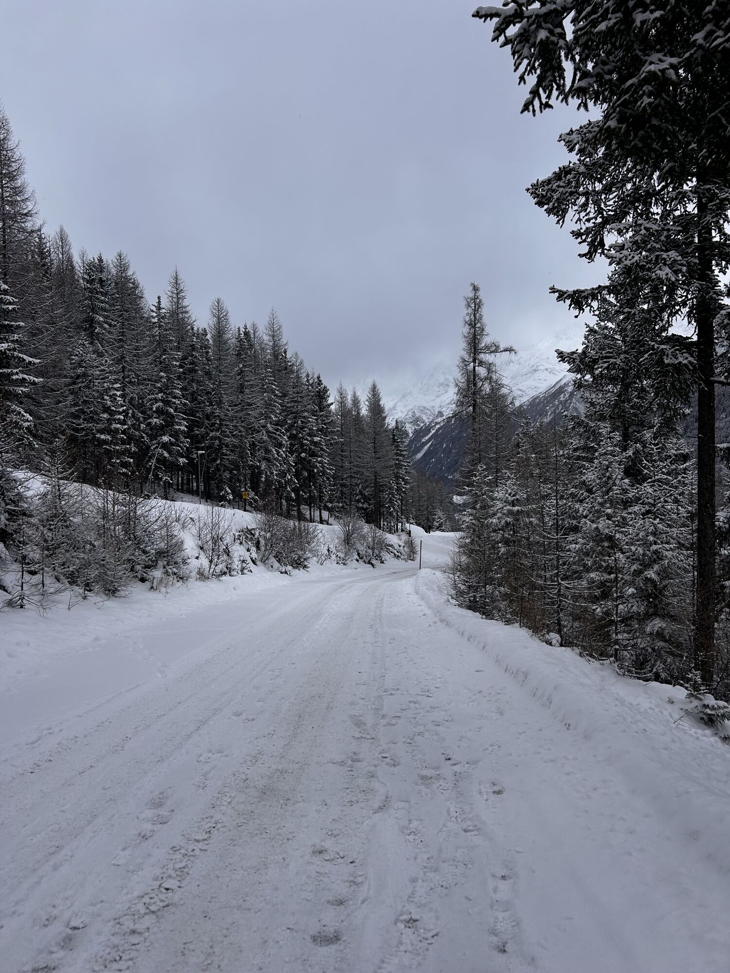
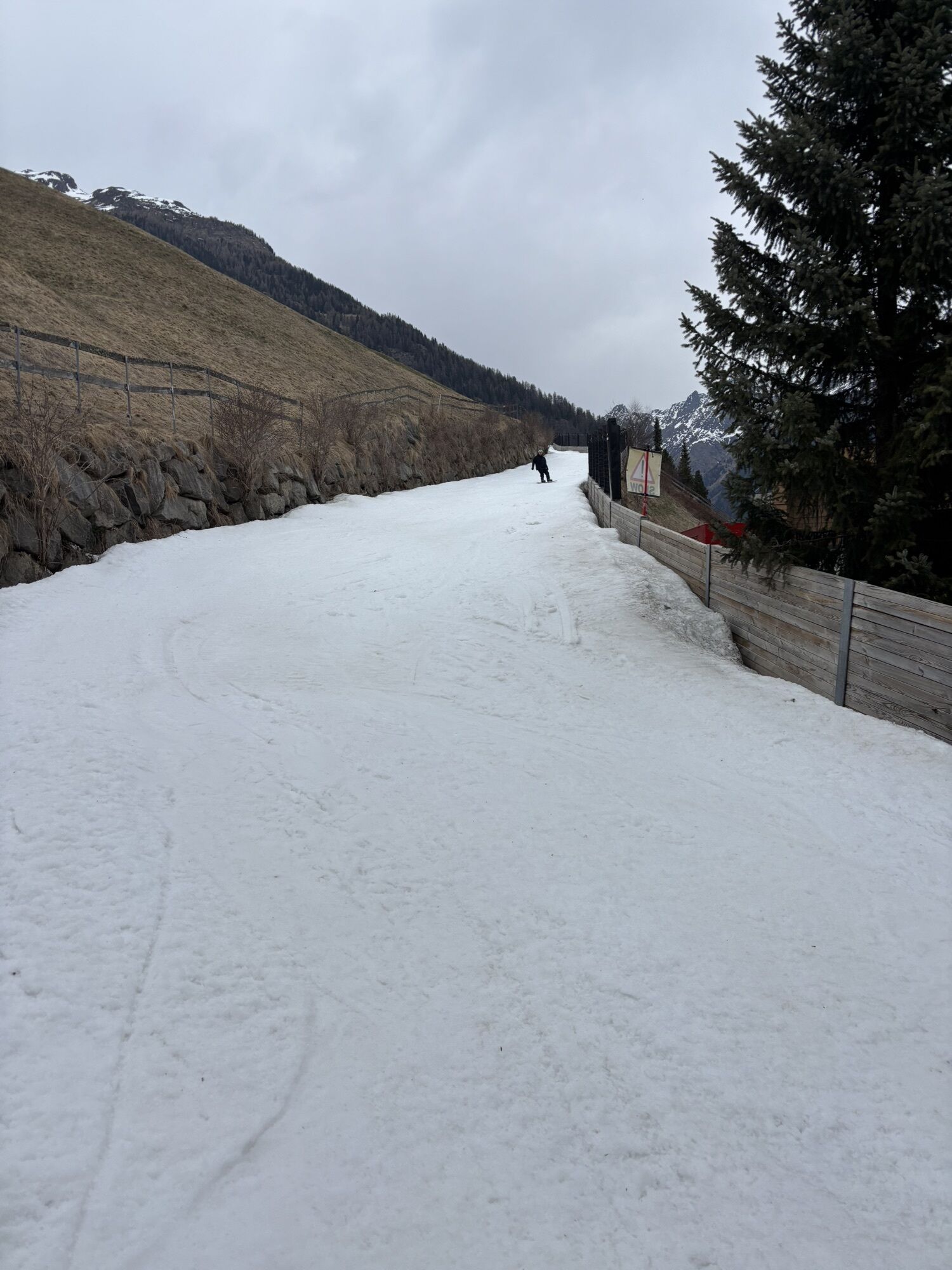
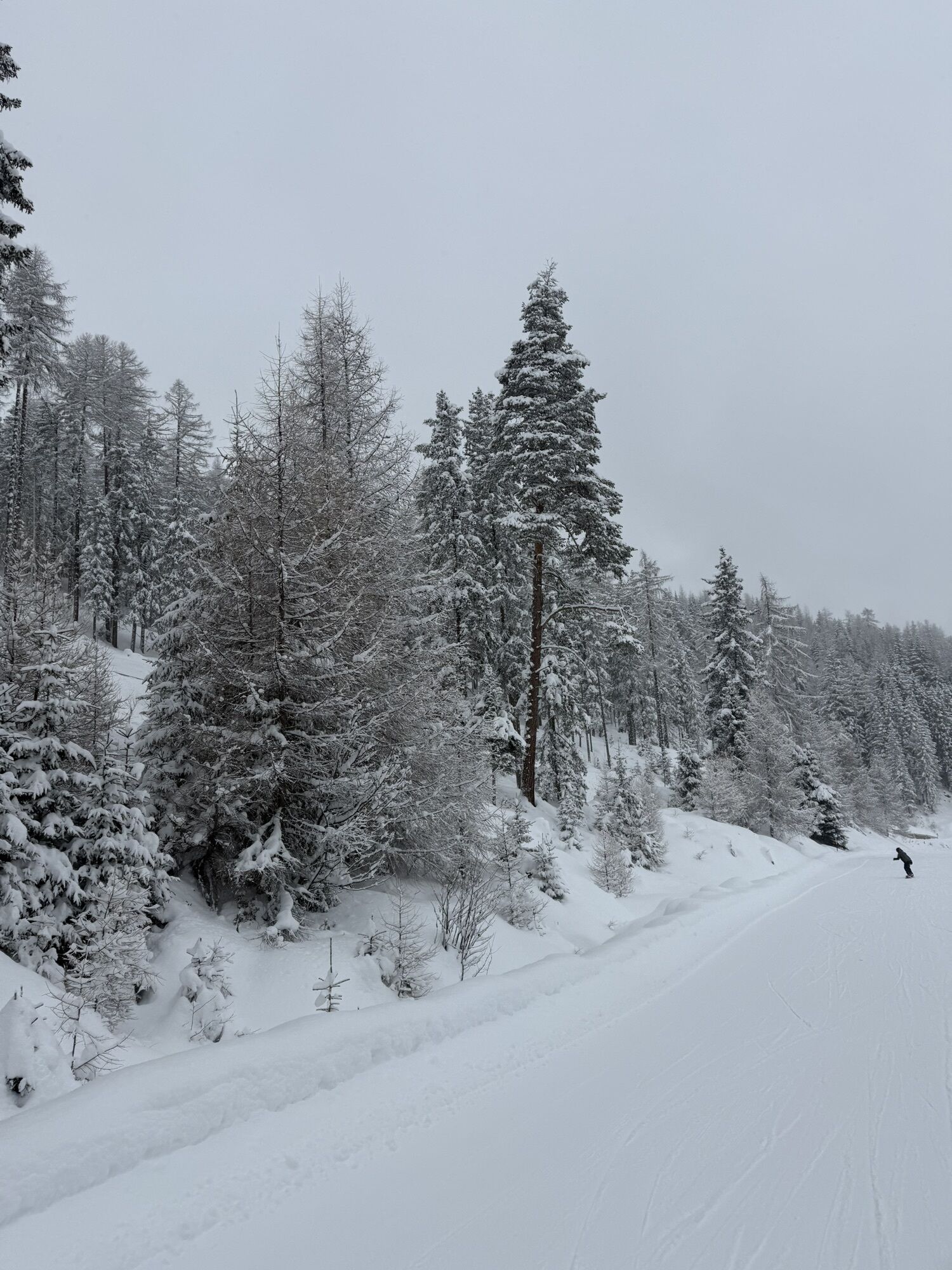
From Stiegele, a forest road leads first gently and then steadily uphill to the first curve. The route often runs parallel to the ski slope and offers beautiful views of the surrounding mountains.
After several curves, you will reach the Alpengasthof Sonneck, a perfect place to rest. From there, continue on to the Gaislachalm and finally to the charming Silbertal.
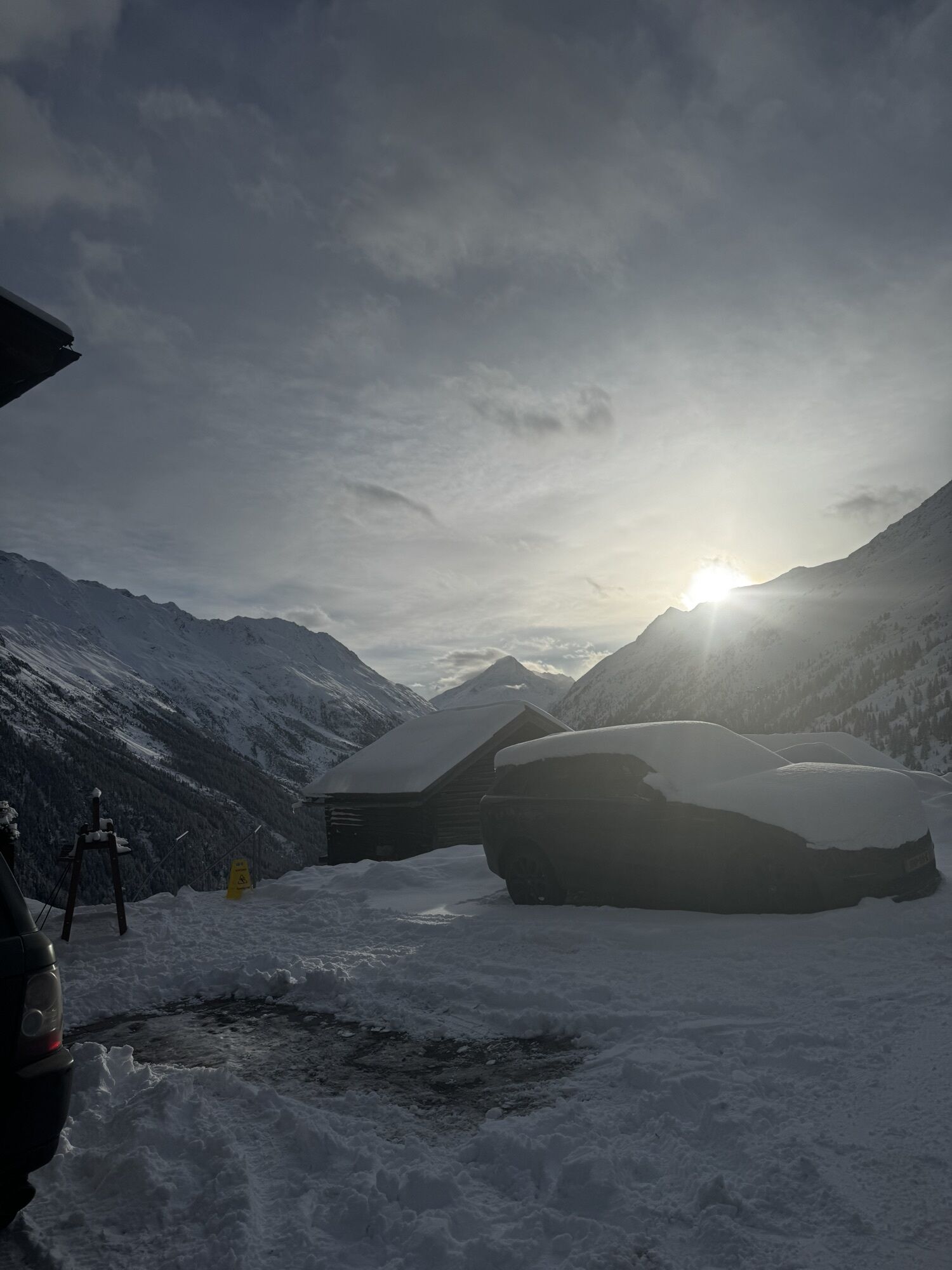
Along the way, enjoy stunning views towards the Vent Valley – a wonderful companion for your hike.

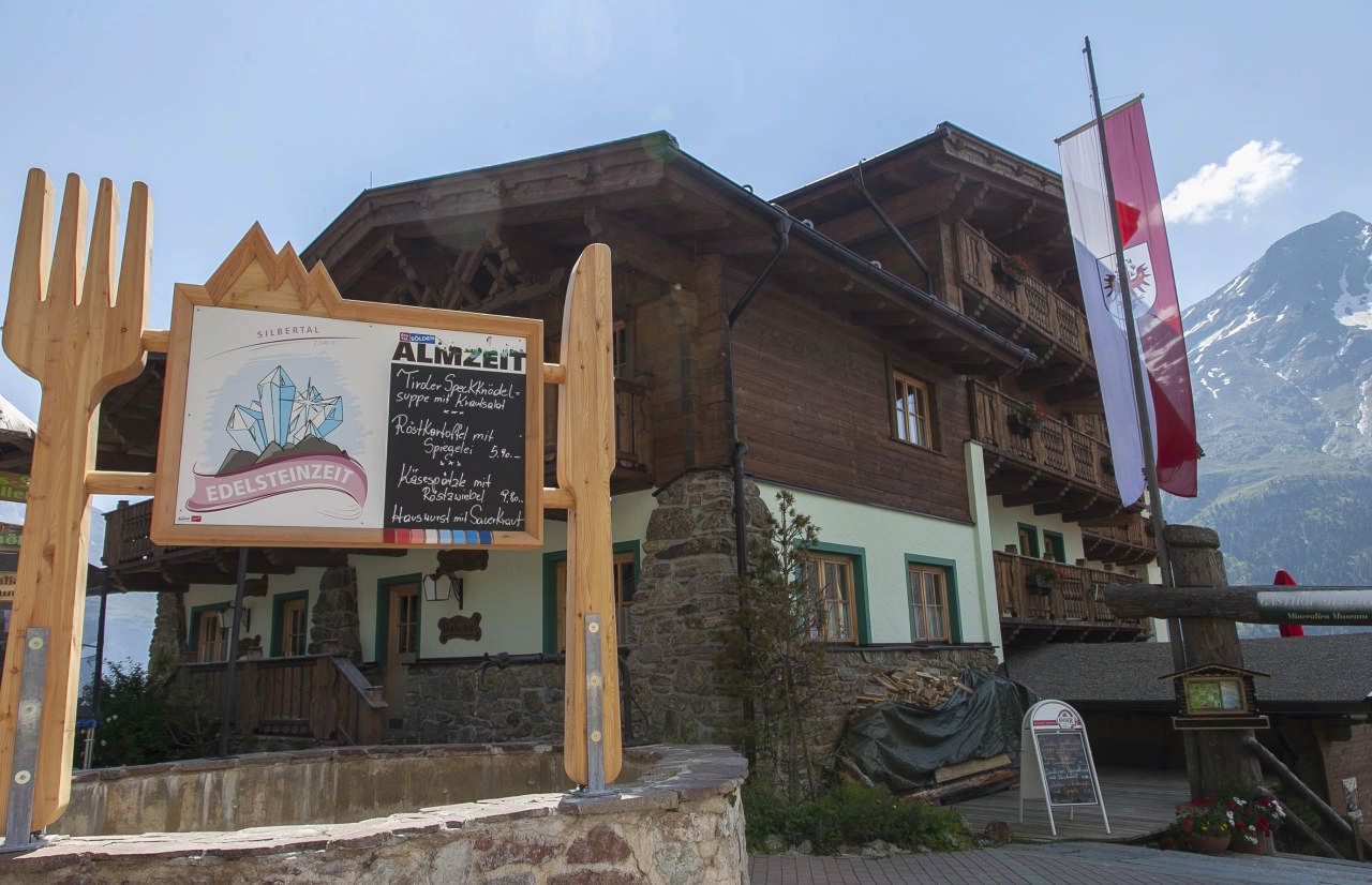
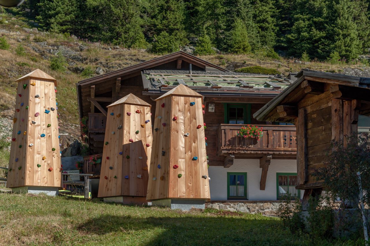
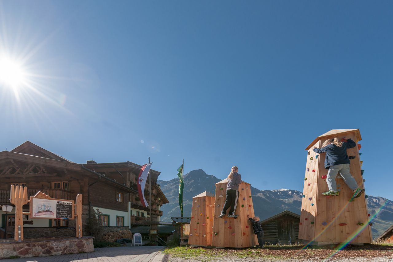
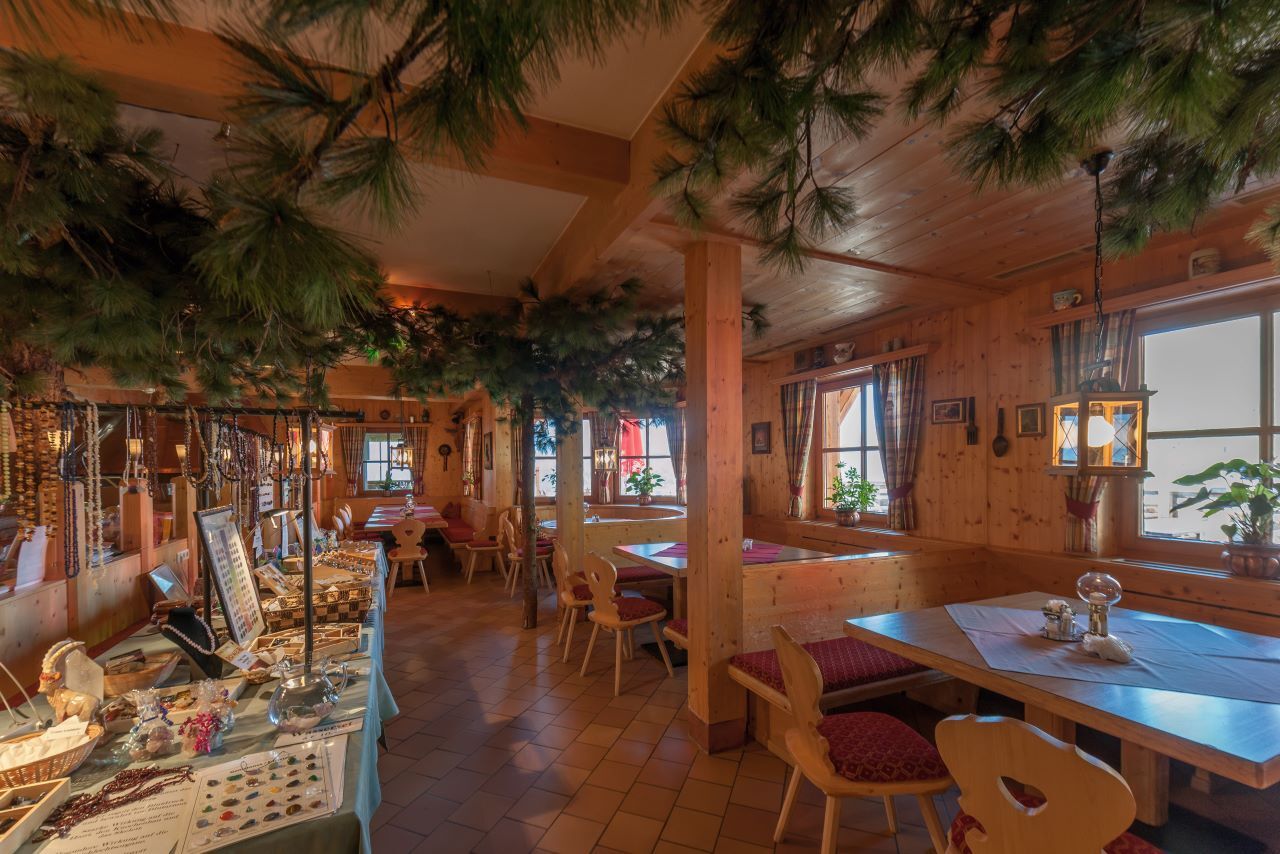
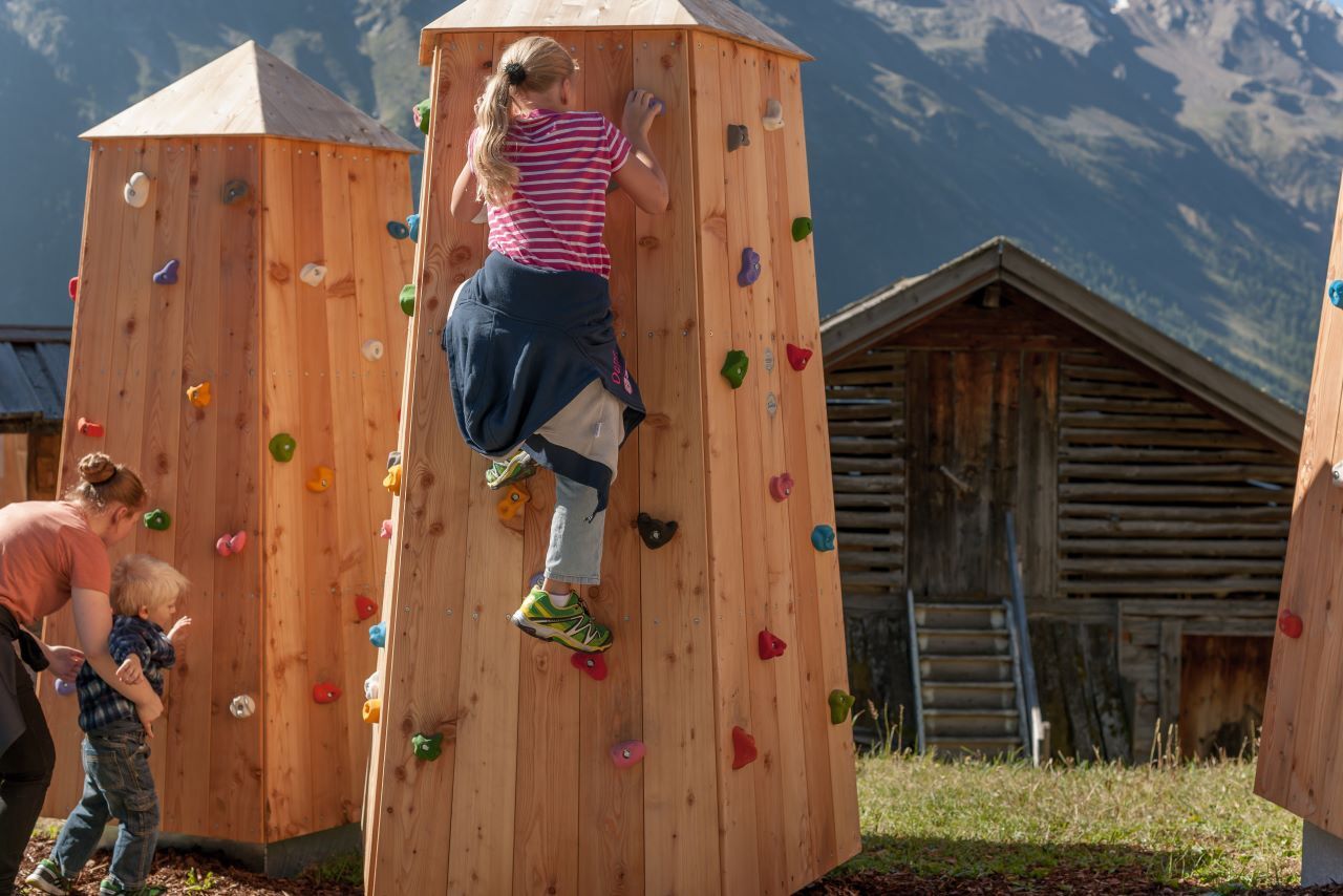
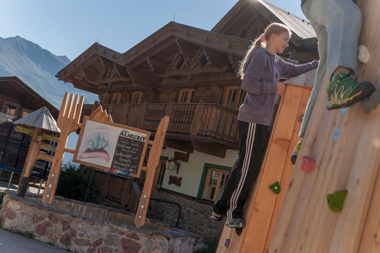
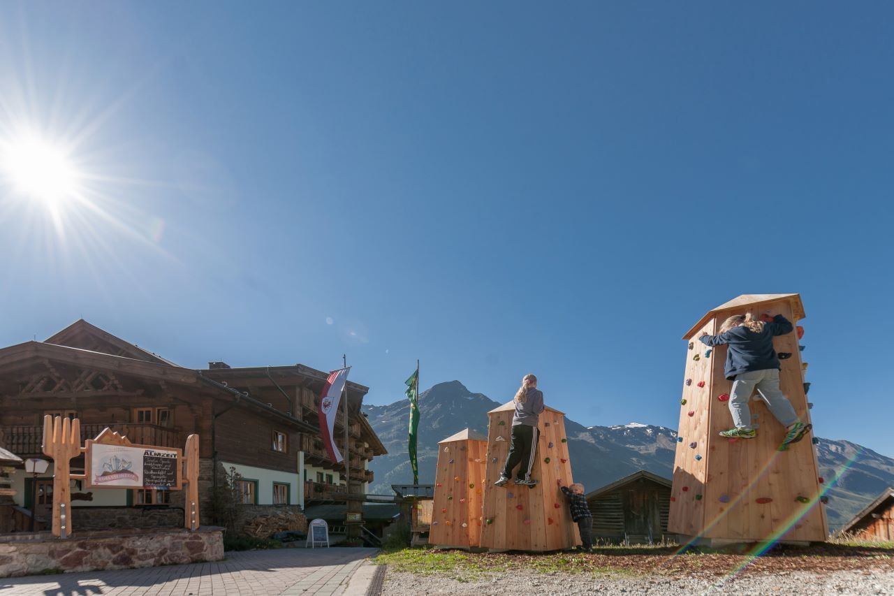
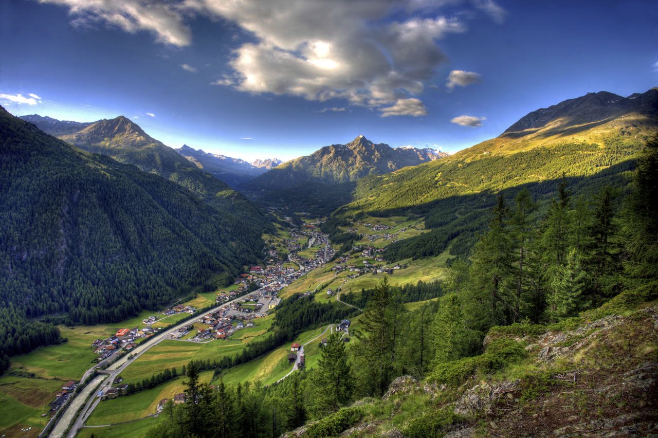

From the Stiegele, a forest road runs relatively flat at first and then a bit steeper up to the first bend. The road often runs parallel to the ski run. After several turns you first reach the Alpengasthof Sonneck, from there you continue to the Gaislachalm and then to Silbertal.
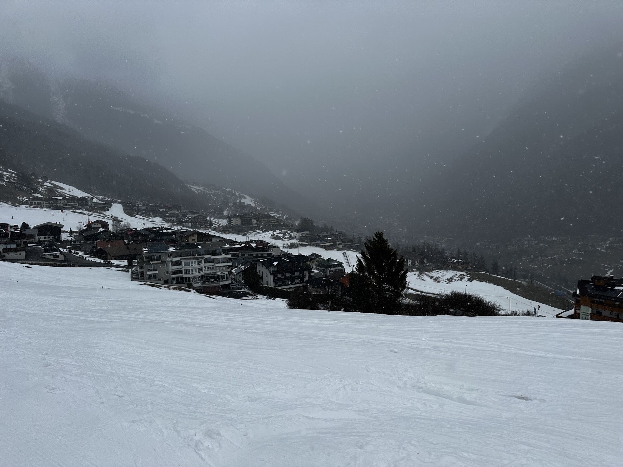
Now you can enjoy the breathtaking views towards the Ventertal.
Oui
It is recommended to wear hiking equipment such as outdoor clothing, weather-resistant outdoor clothing, ankle-high mountain boots, wind, rain and sun protection, cap and gloves. It is also important to have sufficient food and a first-aid package, a cell phone and a hiking map.
Moderate mountain trail; for sure-footed and experienced hikers. Good physical condition, mountain experience & mountain equipment (see notice equipment) necessary. Please pay attention to the current weather report:
The car drive to the Ötztal valley. Situated in Tirol, the Ötztal valley set off in southerly direction and is the longest side valley in the Eastern Alps. The journey with the car leads you through the Inntal valley to the entrance of the valley and further on through the valley. Among the toll motorways you can also use the country roads. A route planner will show you the easiest and most convenient way: www.google.at/maps
All parking is free during the day.
Parking for several days (eg hike tour):
Parkgarage Gaislachkoglbahn, Parkticket either online or directly at the cash desk of the GaislachkoglbahnMore details about hiking In Ötztal: https://www.oetztal.com/wandern
The center shuttle is also open in the summer and with this lift you save the first altitude meters and can overcome comfortably.
The Alm- & Ferienclub Silbertal is also open in summer.
Webcams de la tournée
Seekogel
Gaislachkogel
Sölden - Tiefenbachferner Tal
Sölden - Hochsölden
Sölden - Grünwald Resort
Top Mountain Crosspoint Hochgurgl
Top Mountain Crosspoint Hochgurgl
Top Mountain Crosspoint Hochgurgl
Top Mountain Crosspoint Hochgurgl
Top Mountain Crosspoint Hochgurgl
Sölden - Grünwald Resort
Giggijoch
Top Mountain Crosspoint Hochgurgl
Sölden - Gaislachkogelbahn Mittelstation
Sölden - Schwarzkogl Talstation
Hochstubaihütte
Hochstubaihütte
Sölden Ort
The Peak Sölden**** Chalets und Appartements
Obtenez un aperçu Toujours en direct avec plus de 9.500 webcams. En tant qu'utilisateur Pro, vous pouvez désormais voir les webcams correspondantes à de nombreuses randonnées dans l'application de randonnées de bergfex. Vous pouvez ainsi voir directement les conditions actuelles.Parcours populaires à proximité
- 4,6
Cabane Winnebachseehütte - Längenfeld/Gries
moyenRandonnée 4,74 km - 4,8
Wilde Wasser Weg - Fortgeschritten
moyenRandonnée 12,0 km - 4,4
Rundwanderung Hängebrück3
facileRandonnée 6,32 km - 4,7
Parcours circulaire hivernal Brandalm/Burgstein - Längenfeld 204
moyenRandonnées d'hiver 5,44 km - 4,3
Amberger Hütte - Längenfeld/Gries
moyenRandonnée 5,60 km - 4,4
Hochtour Wildspitze, 3.768m
moyenRandonnée d'altitude 9,75 km - 4,4
Vent - Wilder Mann - cabane Breslauer - Stableinalm
moyenRandonnée 7,25 km - 3,8
Refuge Breslauer
moyenRandonnée 4,75 km - 3,1
Sentier d'altitude Tiefenbach - village d'alpinisme Vent
moyenRandonnée 10,8 km - 5,0
Dresdner hütte - sulzenauerhütte
moyenRandonnée 12,1 km
Randonnée et suivi


Ne manquez pas les offres et l'inspiration pour vos prochaines vacances
Votre adresse électronique a été ajouté à la liste de diffusion.





