






Circular trail Gröben-Tal

The path starts in the Unterdorf at the Hotel Edelweiß / Heimatmuseum. Slightly downhill and keeping to the right, follow the asphalted road to Gröben. Pass through Gröben, past the last houses and continue...
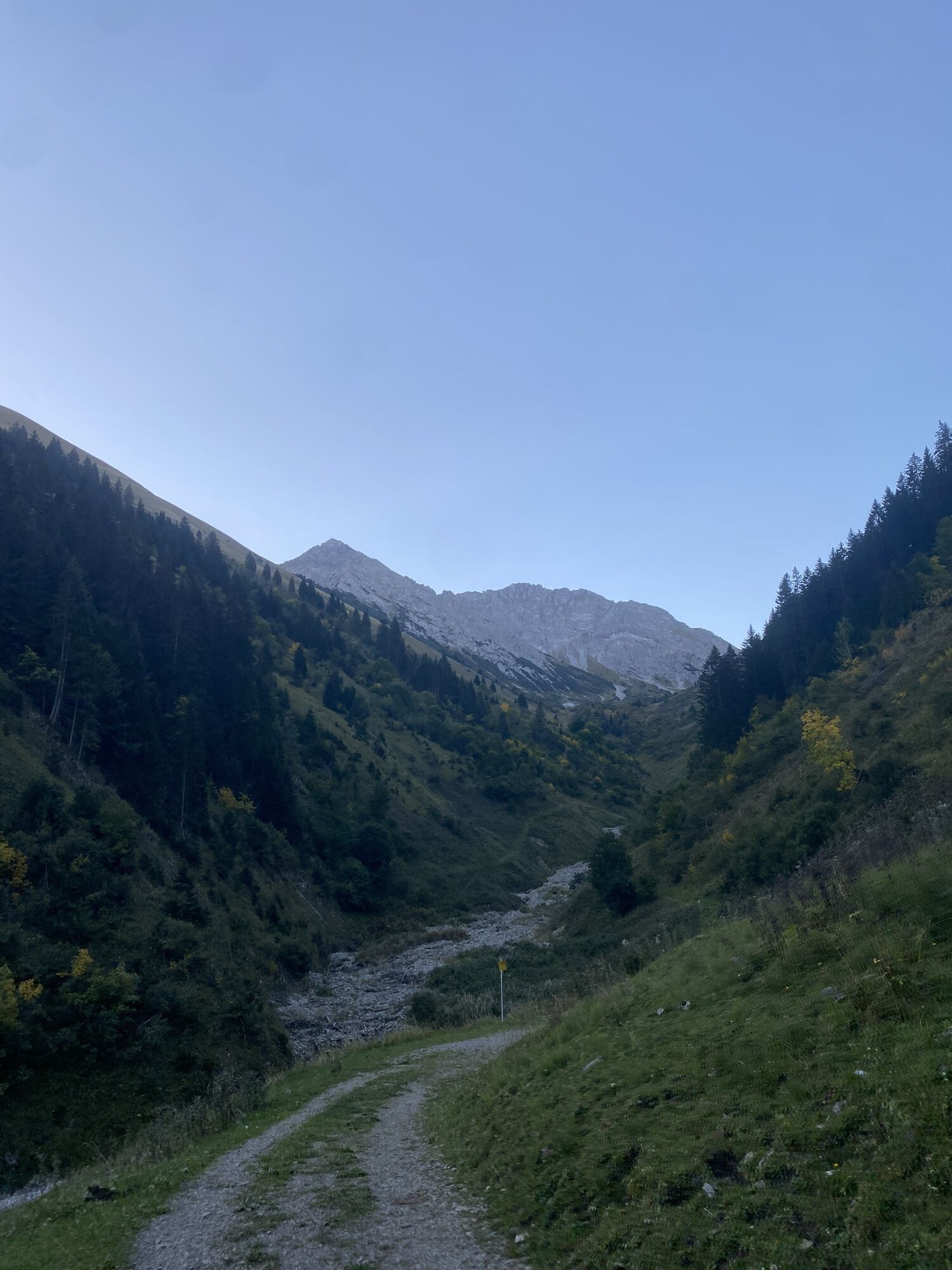
The path starts in the Unterdorf at the Hotel Edelweiß / Heimatmuseum. Slightly downhill and keeping to the right, follow the asphalted road to Gröben. Pass through Gröben, past the last houses and continue on a gravelled path to the signpost. Turn left here and gently sloping down a path, continue walking along the valley stream. After about 30 minutes you reach the district Tal. Keep left at the sign and walk back to the starting point in Berwang.
Easily walkable in any weather.

Dorfstüble, Beachten Sie die Öffnungszeiten!
map.szugspitzarena.com
Wanderkarte mit Tourenbooklet in Tourismusbüro Berwang erhältlich.
Oui
Appropriate clothing, sturdy shoes, rain protection, sun protection, hiking poles, sufficient water. No climbing equipment required.
Turning point of the route (in the valley near Gröben) leads over the Älple to the mountains Hönig and Roter Stein. In spring do not enter this branching route!
● Stay on the marked hiking trails
● Keep your distance from grazing animals
● Be aware of the mountain hut opening hours
● Alpine emergency call: 140
Von der B179 kommend biegen Sie nach Bichlbach ab. Fahren Sie 3 km weiter nach Berwang Unterdorf.
Summer & hiking bus of the Tiroler Zugspitz Arena (free with guest card or Z-ticket), Postbus (free with guest card or Z-ticket in the region)
Parkplatz Sonnalmbahn (am Ortseingang)

Webcams de la tournée

Parcours populaires à proximité
-
4,9
Thaneller
moyenRandonnée 4,90 km -
4,6
Almkopf Rundweg
moyenRandonnée 2,60 km -
4,8
Hönig over the Älplestal-valley
moyenRandonnée 11,6 km -
4,4
Rundwanderung Stuibenfälle
moyenRandonnée 3,92 km -
4,8
BIEBERWIER | Blindsee
facileRandonnée 4,84 km -
4,8
Sebensee/ Coburger Hütte
moyenRandonnée 18,7 km -
4,7
Ehrwald - Hoher Gang - Seebensee - Drachensee - Coburger Hütte
difficileRandonnée en montagne 14,6 km -
4,7
Ehrwald / Drachensee / Coburger Hütte / Seebensee
moyenRandonnée 14,8 km -
4,6
Traumhafte Panorama Plansee-Umrundung
facileRandonnée 13,8 km -
4,6
Schönjöchl am Plansee
moyenRandonnée 7,21 km
Randonnée et suivi


Ne manquez pas les offres et l'inspiration pour vos prochaines vacances
Votre adresse électronique a été ajouté à la liste de diffusion.





