



Europa Panoramaweg

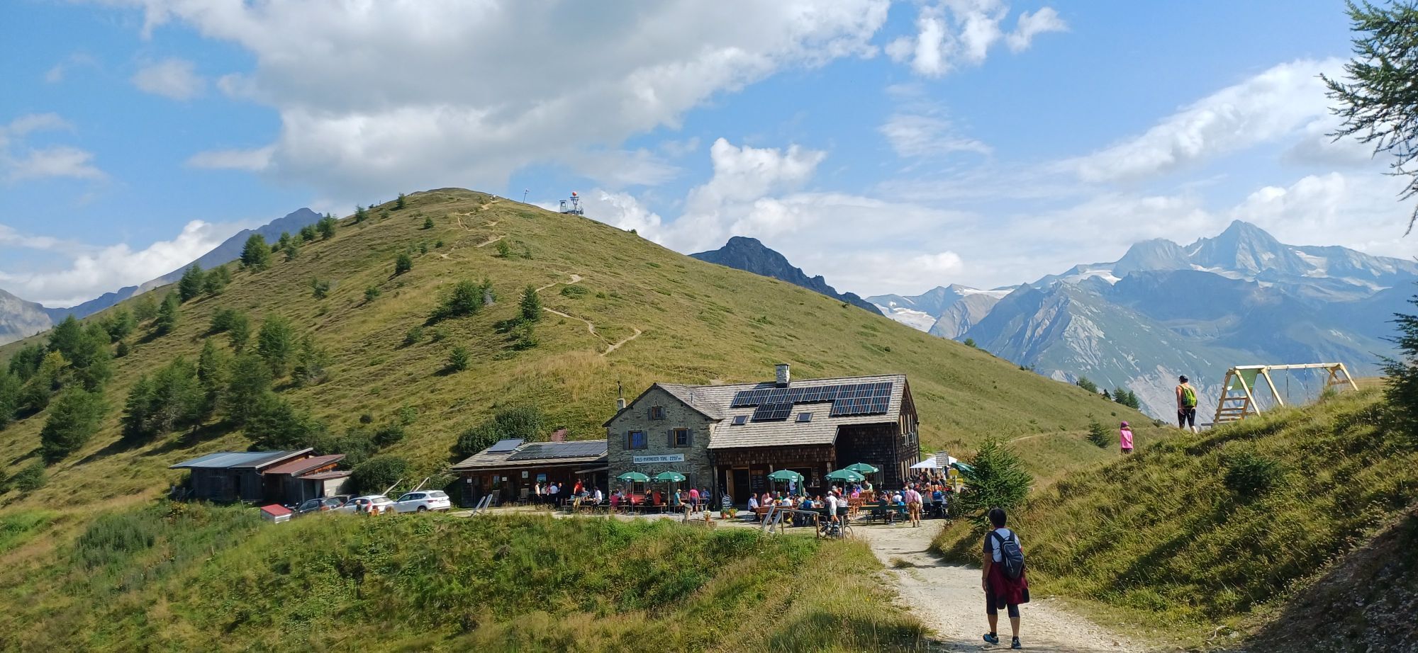


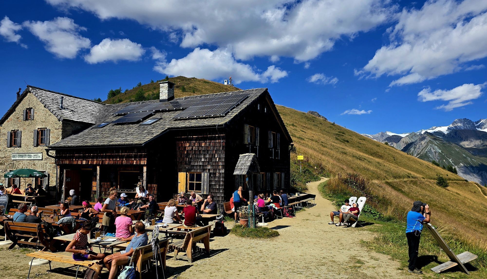
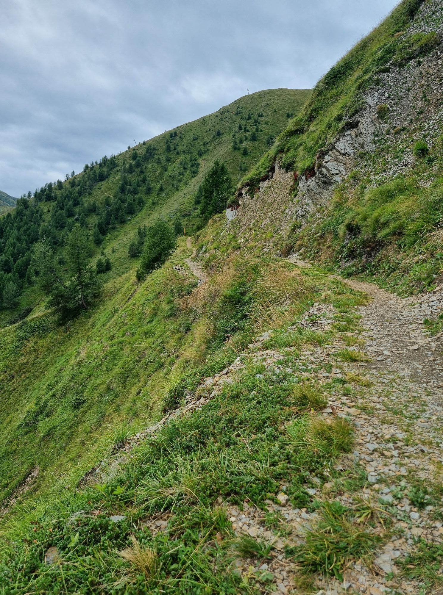
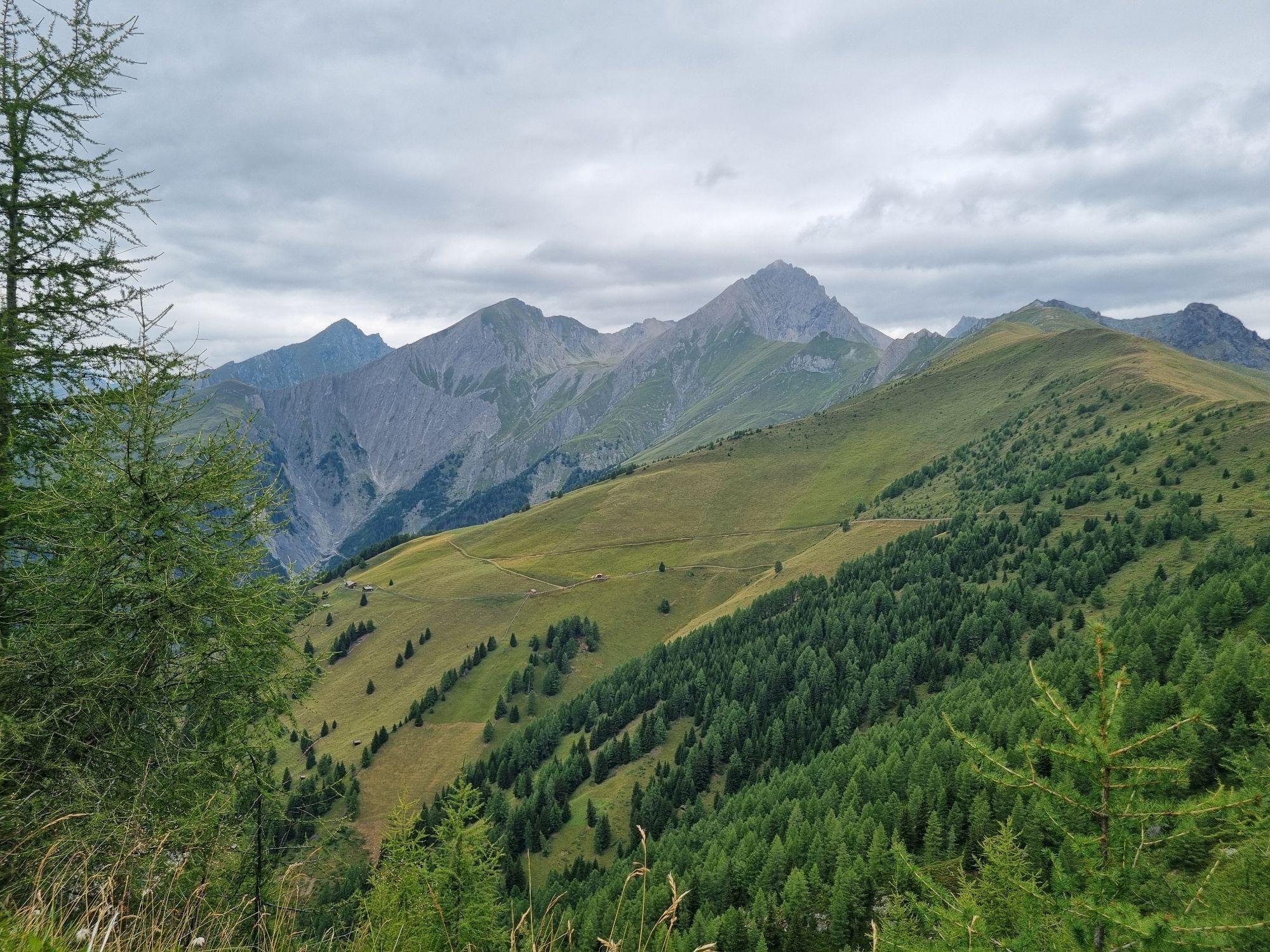


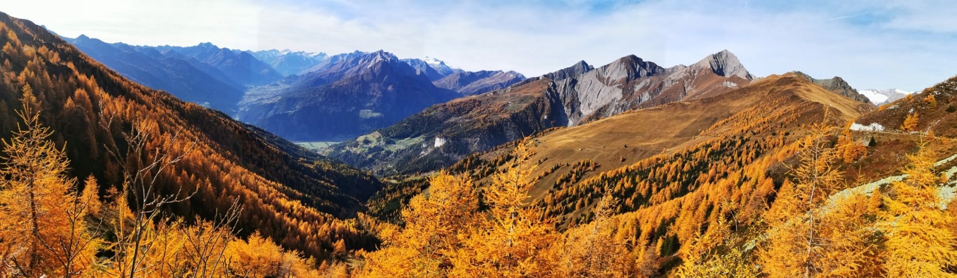
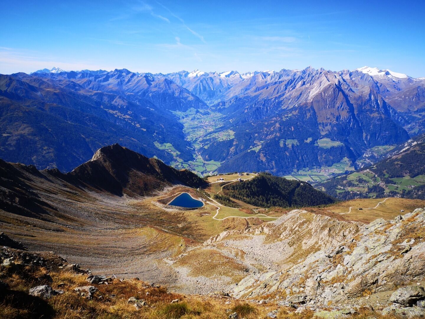
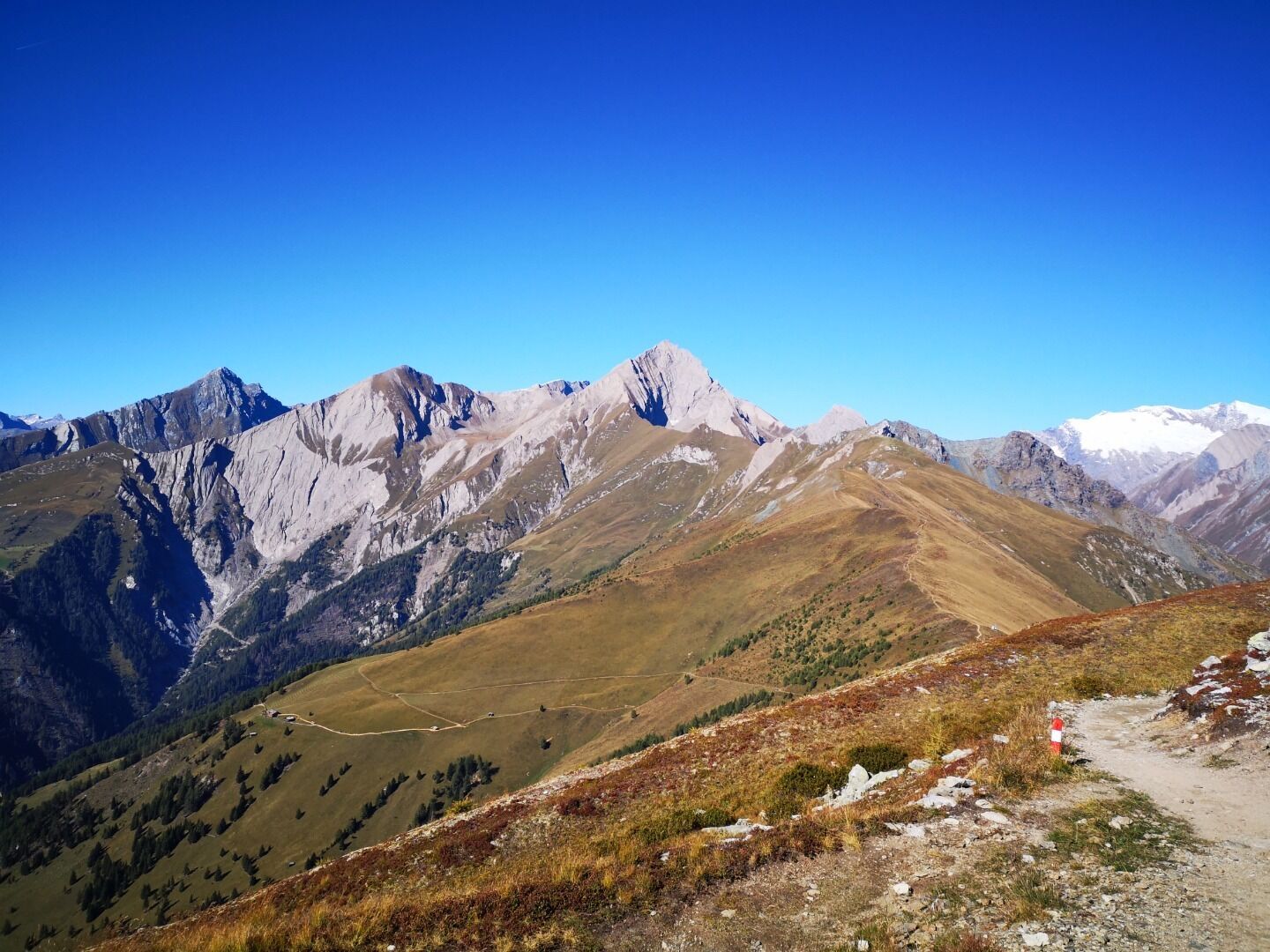
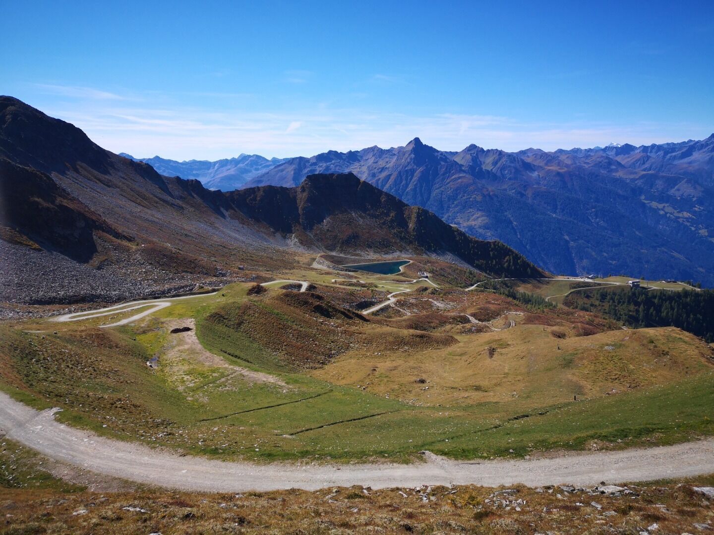
This panoramic, easy hike starts at the hut Berggausthaus Goldried. After the ascent with the cable cars Matreier Goldried Bergbahnen you hike at the same altitude to the hut Kals-Matreier-Törl. The wide...
You will then reach the hut Bergrestaurant Glocknerblick in Kals am Großglockner via species-rich mountain meadows. The summit world of the Hohe Tauern National Park with over 66 three-thousand-metre peaks accompanies you at every turn. Großglockner, Großvenediger, Rotspitze and Glödis are just a few famous examples.
The way back can be done in the same way or you can descend to Kals am Großglockner and take bus line 952 or 951 back to Matrei in Osttirol.


Basic equipment for mountain hiking includes sturdyâ¯hikingâ¯boots with a good tread, a 30-35 liter backpack, and functional clothing based on the layering principle, including sufficient spare clothes. Essential items are rain, cold, and sun protection, adequate fluids and food, as well as a first-aid kit and a charged mobile phone. A map or a GPS device supports orientation.
The information serves as a guideline and does not claim to be exhaustive. Equipment must always be adapted to theâ¯planned route, weather conditions, season, natural hazards, environmental influences, and personal needs.
Take the Matreier Goldried cable cars up the mountain; once you reach the top, the actual hike begins
Bus stop Matrei i.O. Süd
Take the Matreier Goldried cable cars up the mountain; once you reach the top, the actual hike begins
Car park Matreier Goldried Bergbahnen
Webcams de la tournée
-
Matrei in Osttirol
-
Matrei Bergstation Goldried
-
Kals - Gradonna
-
Berggasthaus Goldried
-
Kals am Großglockner
-
Kals am Großglockner
-
Adlerlounge - Cimaross
-
Adlerlounge - Cimaross
-
Adlerlounge - Cimaross
-
Adlerlounge - Cimaross
-
Adlerlounge - Cimaross
-
Adlerlounge - Cimaross
-
Adlerlounge - Cimaross
-
Adlerlounge - Cimaross
-
Matrei in Osttirol - Bethuberhof
-
Matrei in Osttirol


Parcours populaires à proximité
-
4,8
Summit hike Rotenkogel 2,762m
difficileRandonnée 4,22 km -
4,8
Circular hike suspension bridge Isel Canyon via "Hohe Bank"
moyenRandonnée 8,11 km -
4,8
Kaiser-Franz-Josefs-Höhe au refuge Oberwalder
difficileRandonnée 5,52 km -
4,5
Circular hike Proßeggklamm
moyenRandonnée 8,41 km -
4,5
Chemin glaciaire vers la Pasterze avec le Gamsgrubenweg (jusqu'au tunnel 6)
moyenRandonnée 8,05 km -
4,9
Figerhorn 2743m, Lucknerhaus
difficileRandonnée 6,69 km -
4,9
Glockner Alpincenter - Salmhütte - Hohenwartkees
moyenRandonnée 8,64 km -
4,9
Glockner
moyenRandonnée d'altitude 19 km -
4,8
Adlerlounge Europapanoramaweg
moyenRandonnée 6,86 km -
4,7
Glödis 3206m: PP Seichenbrunn, Lienzer Hütte, Glödis KS A/B
difficileRandonnée d'altitude 16,1 km
Randonnée et suivi


Ne manquez pas les offres et l'inspiration pour vos prochaines vacances
Votre adresse électronique a été ajouté à la liste de diffusion.


