



Hiking tour to Neue Prager Hütte 2.796m

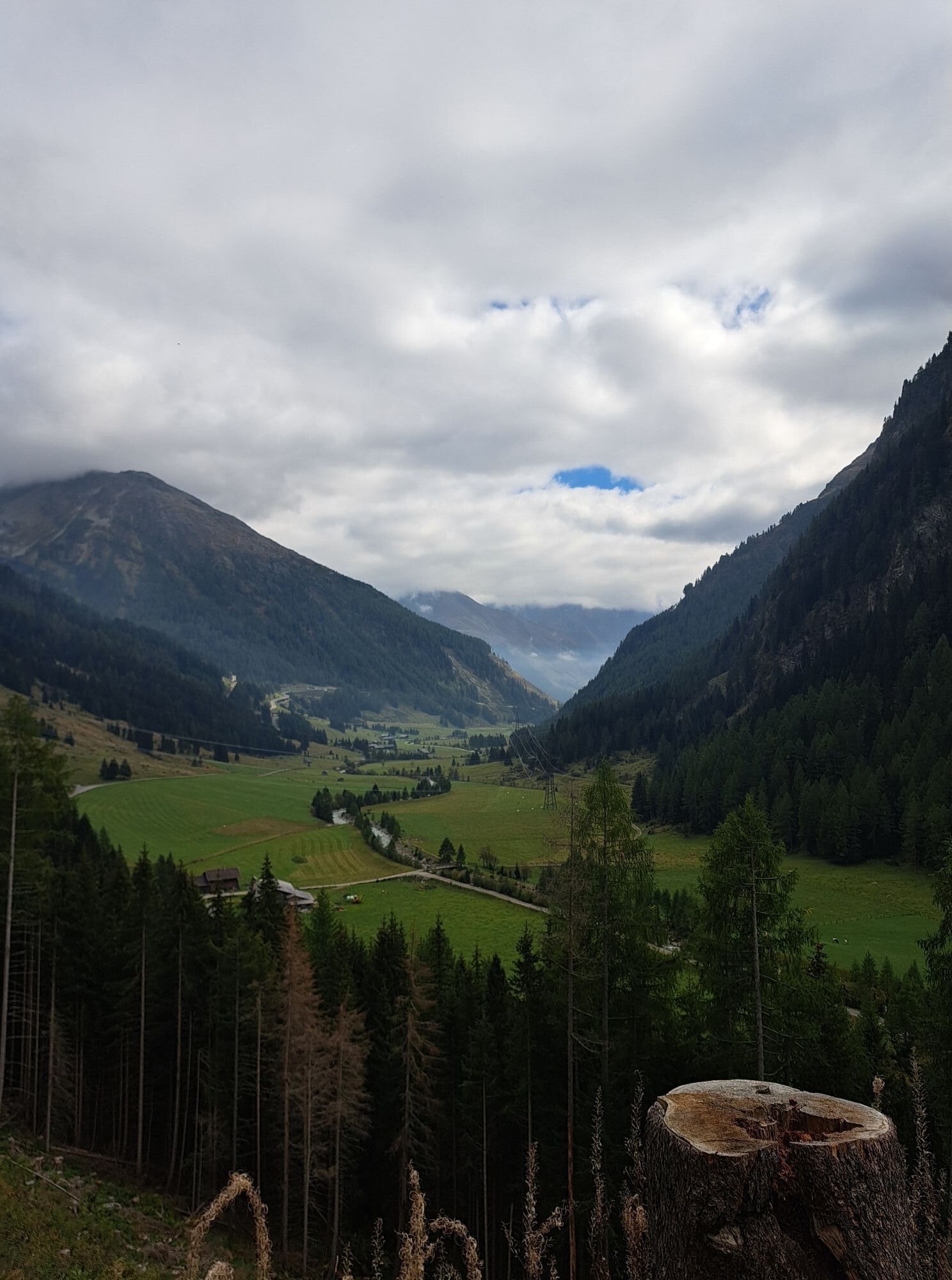
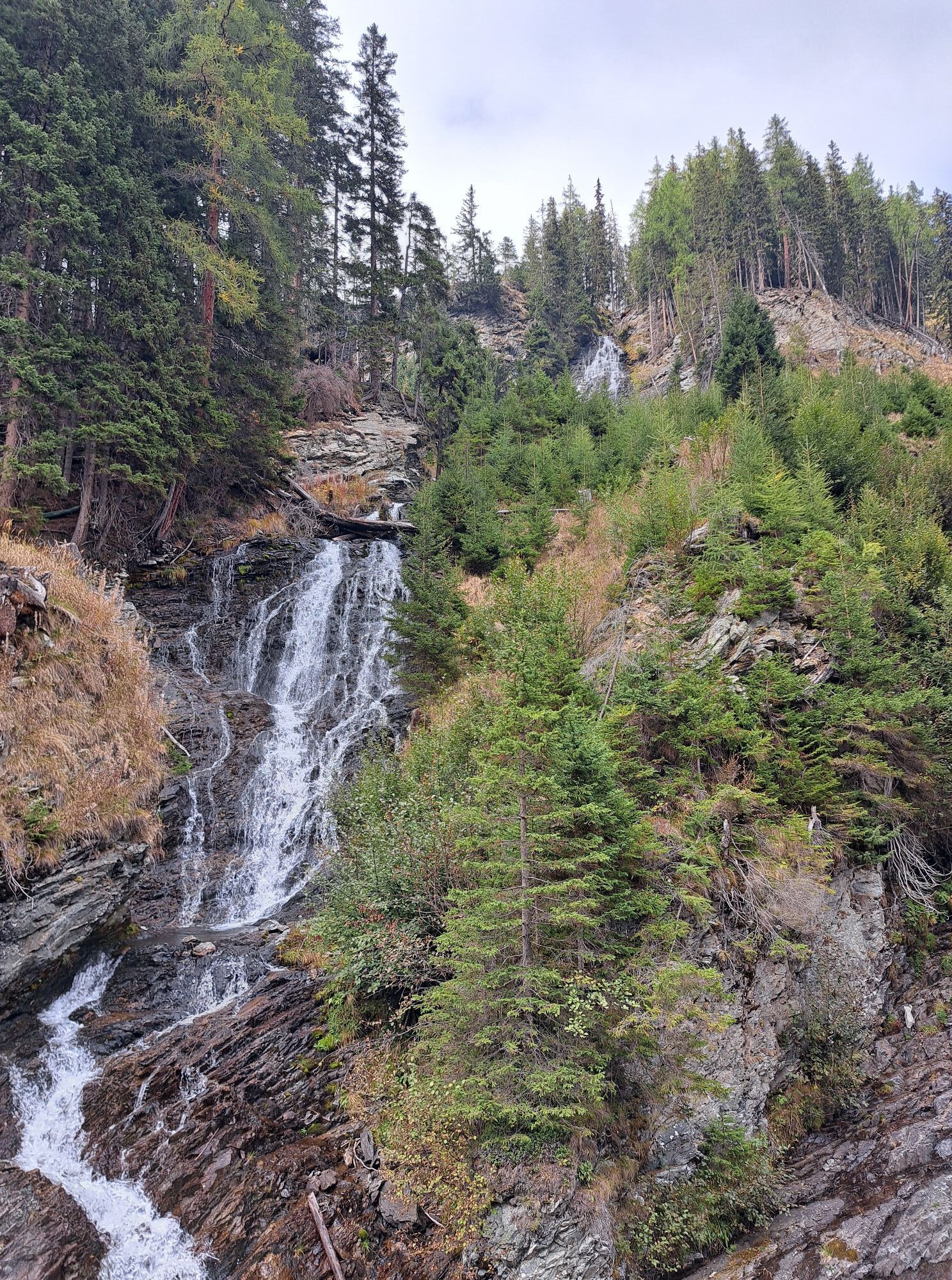
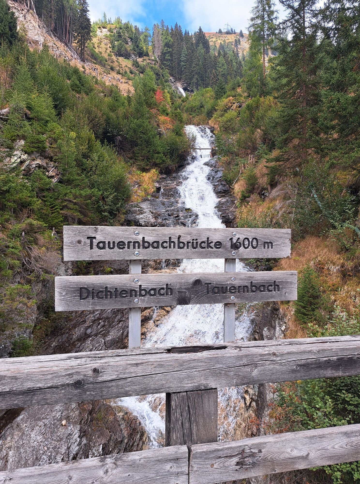
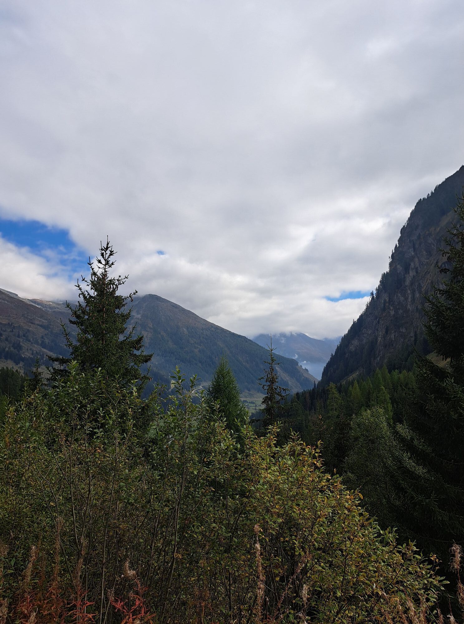
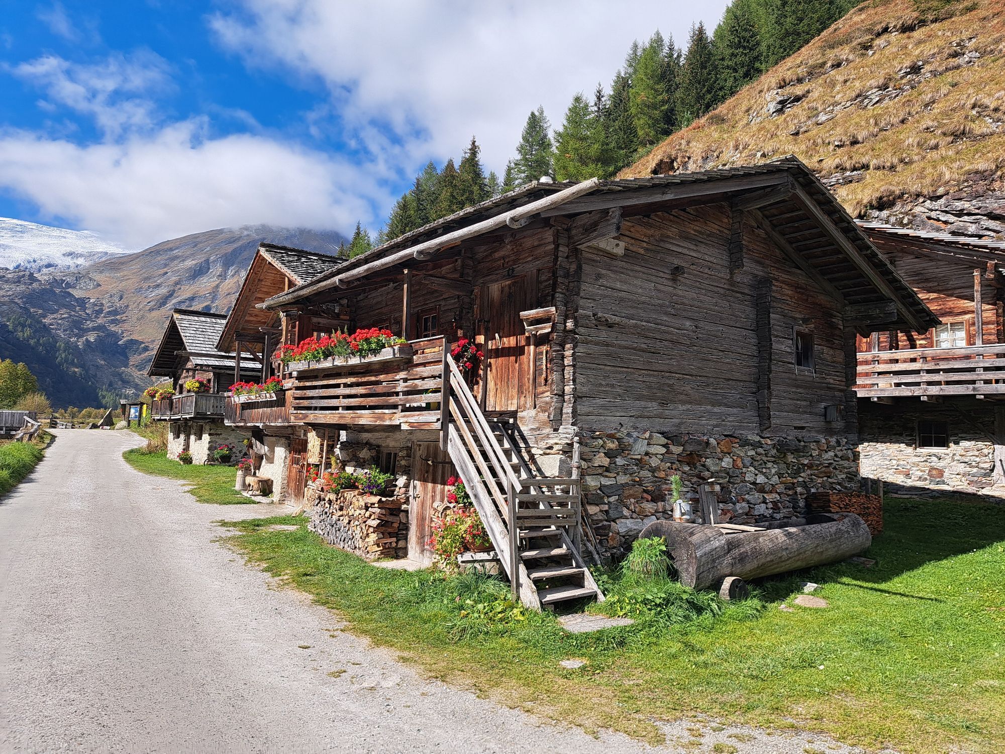
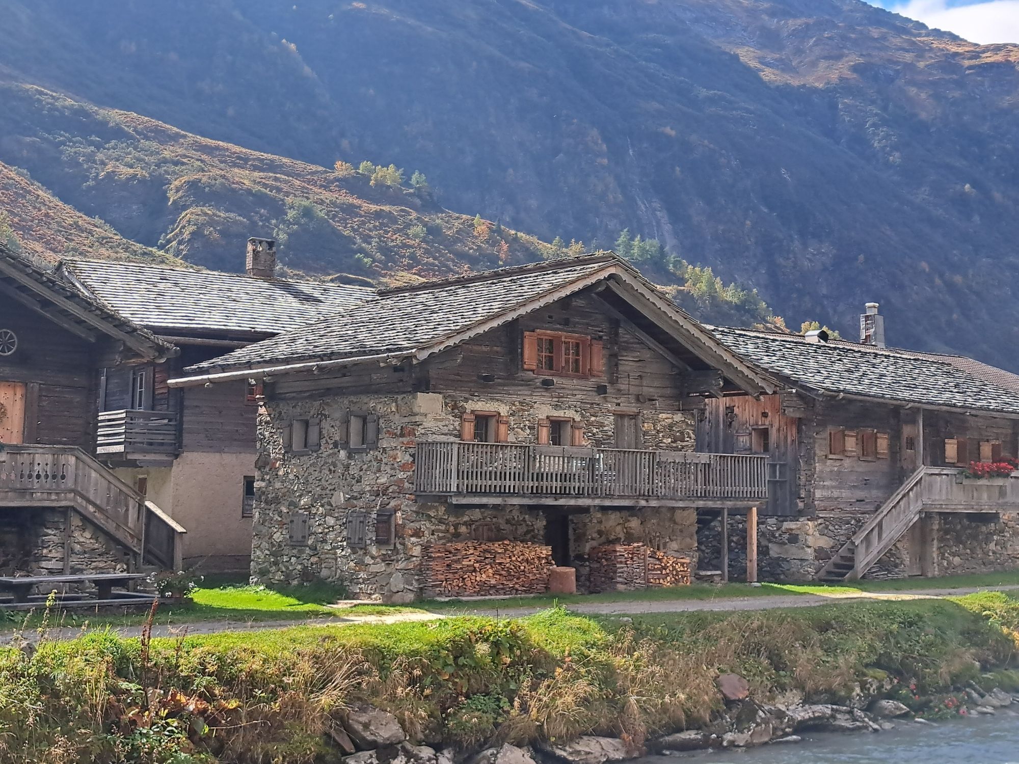
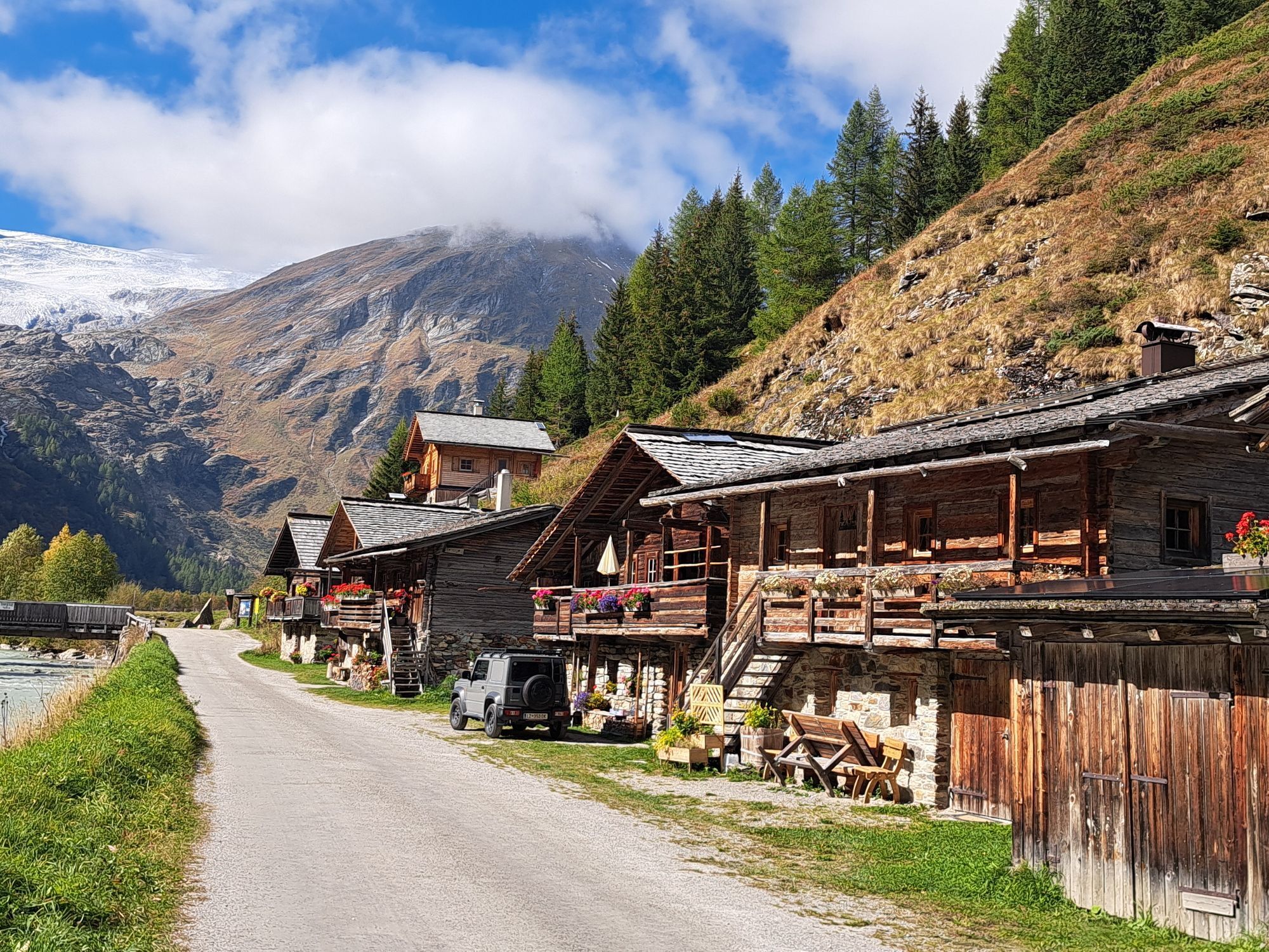
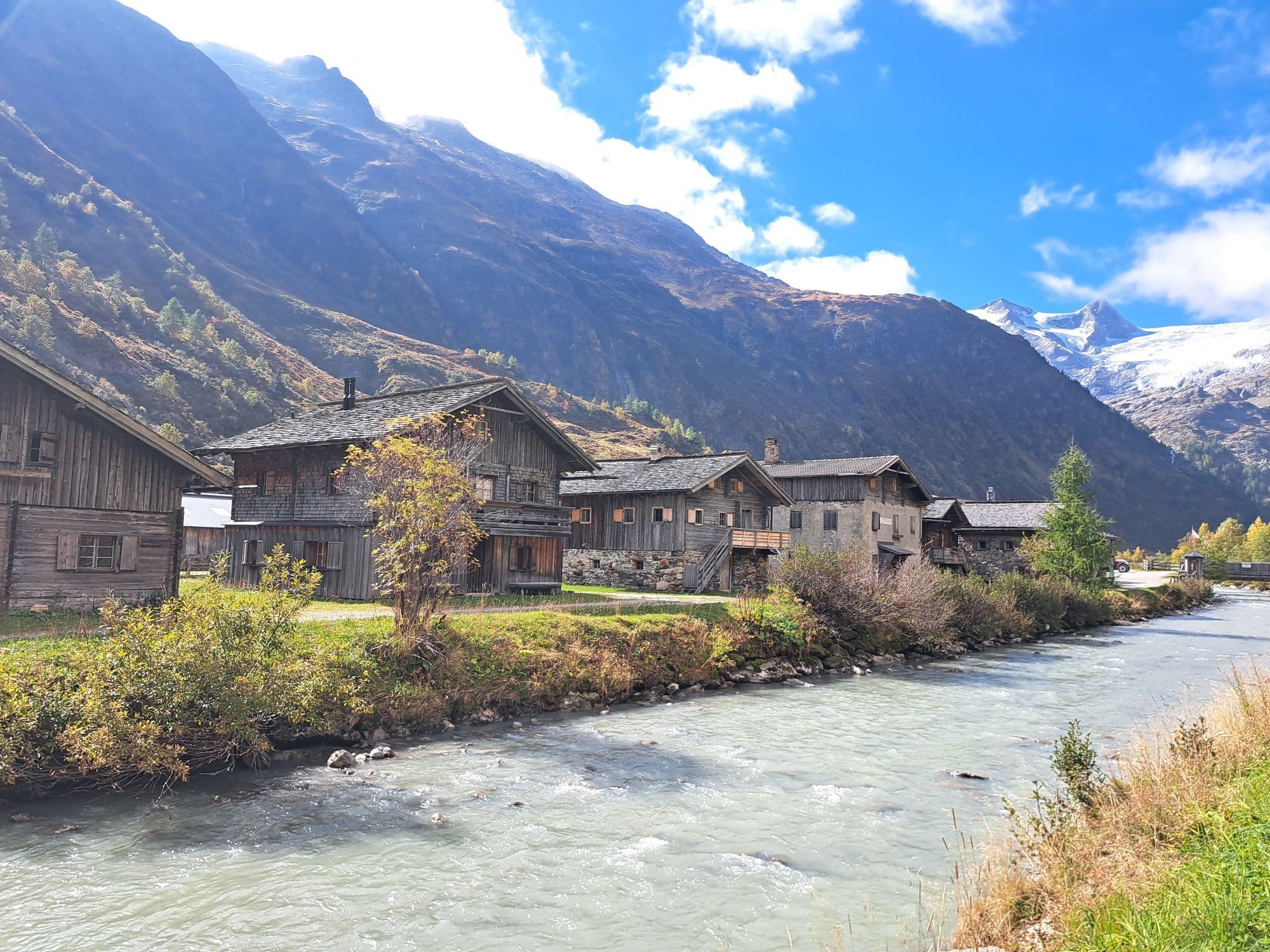
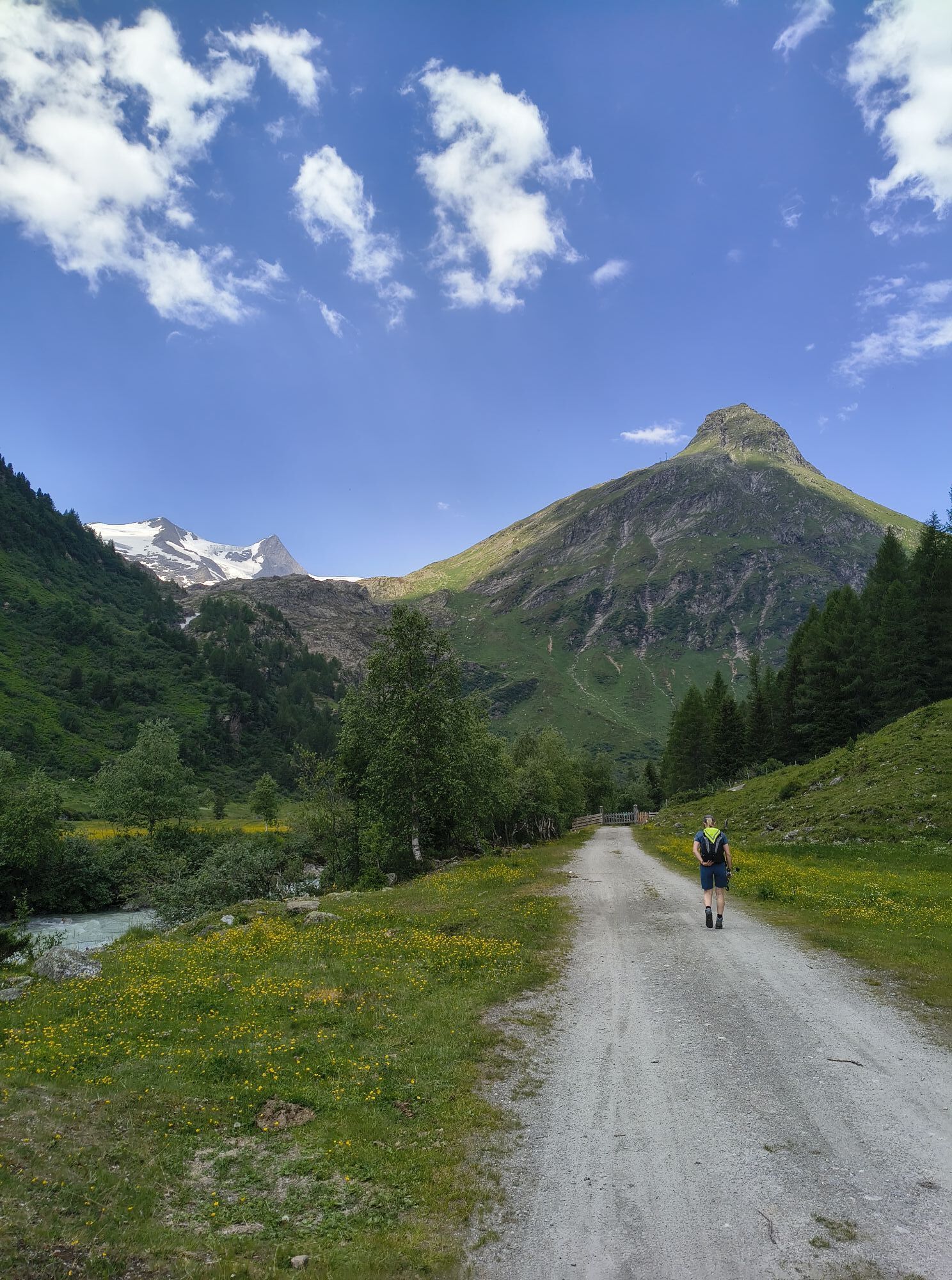
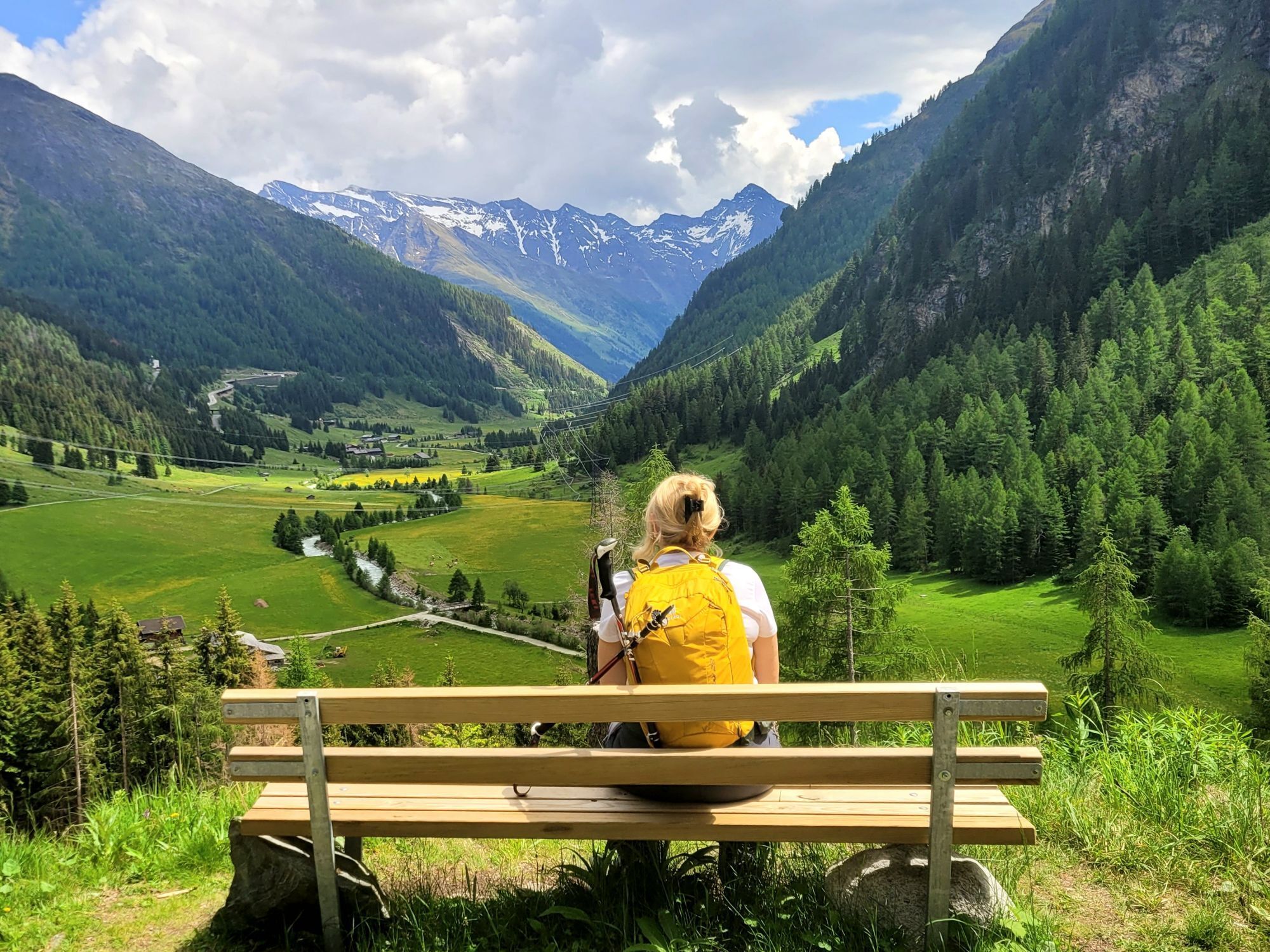
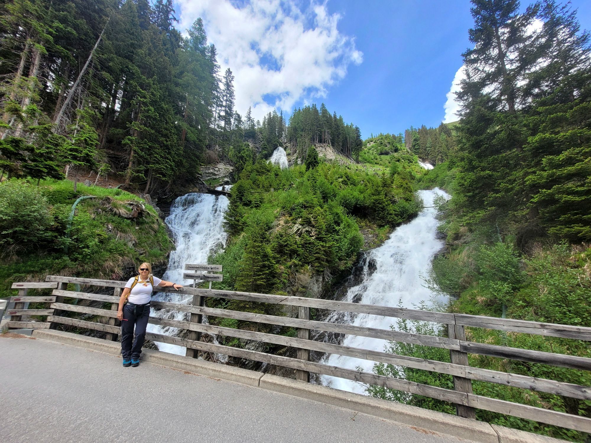
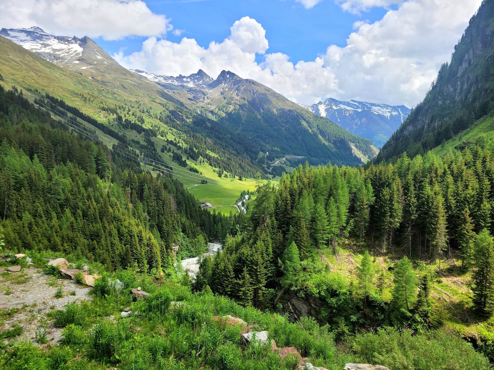
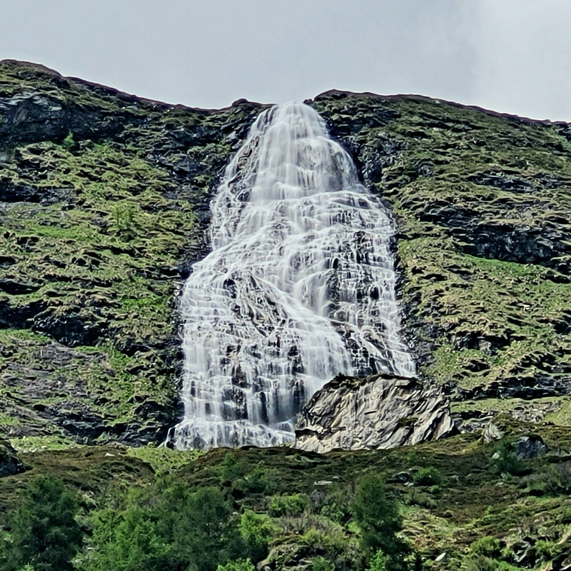
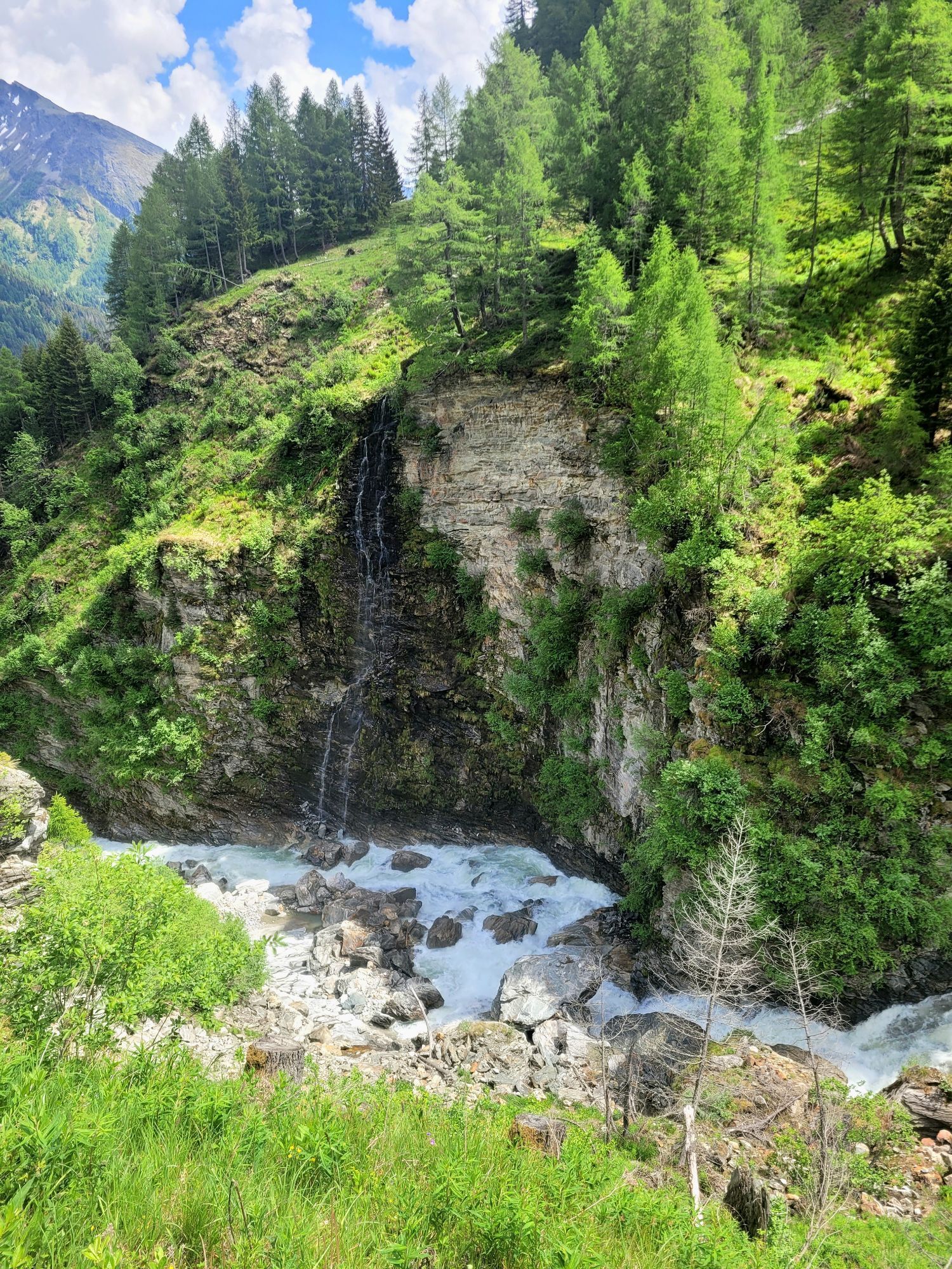
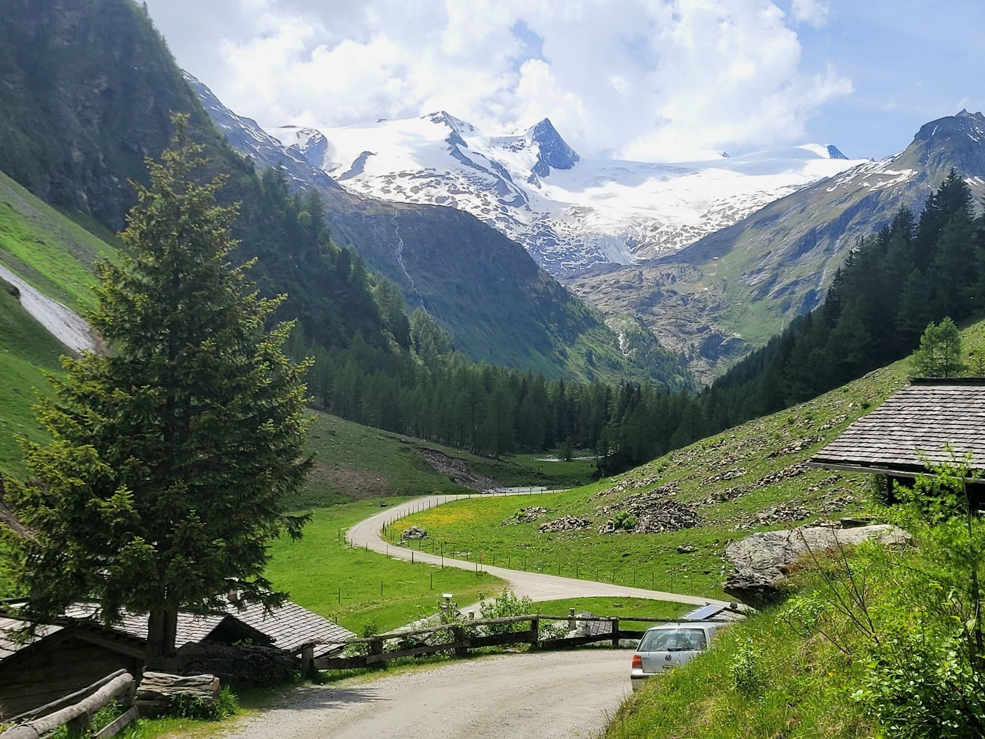
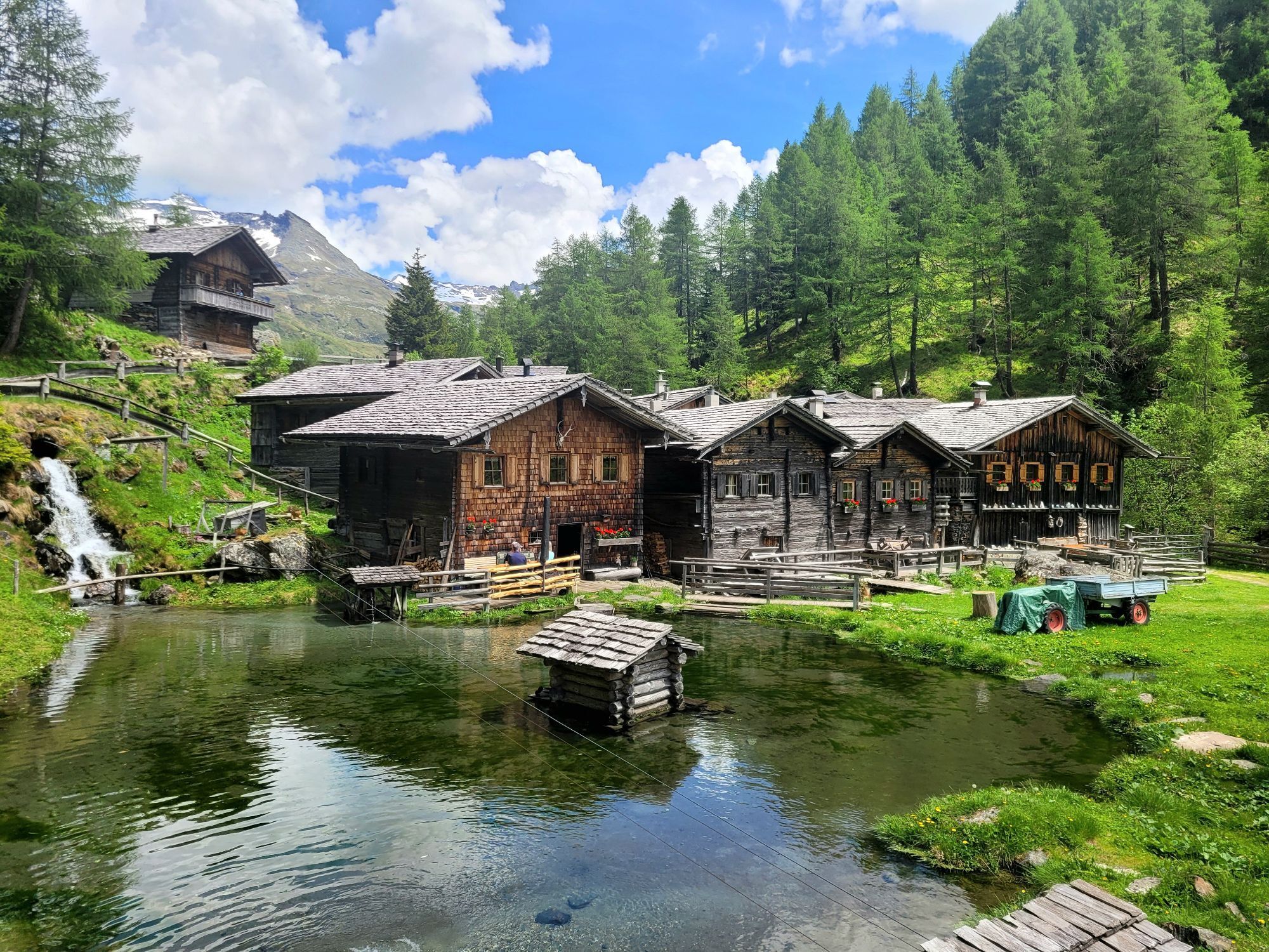
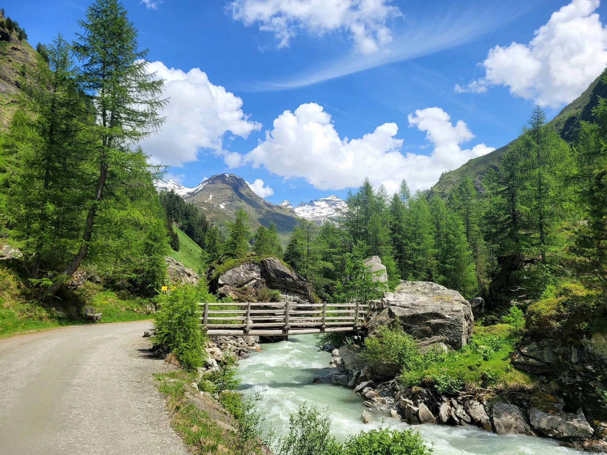
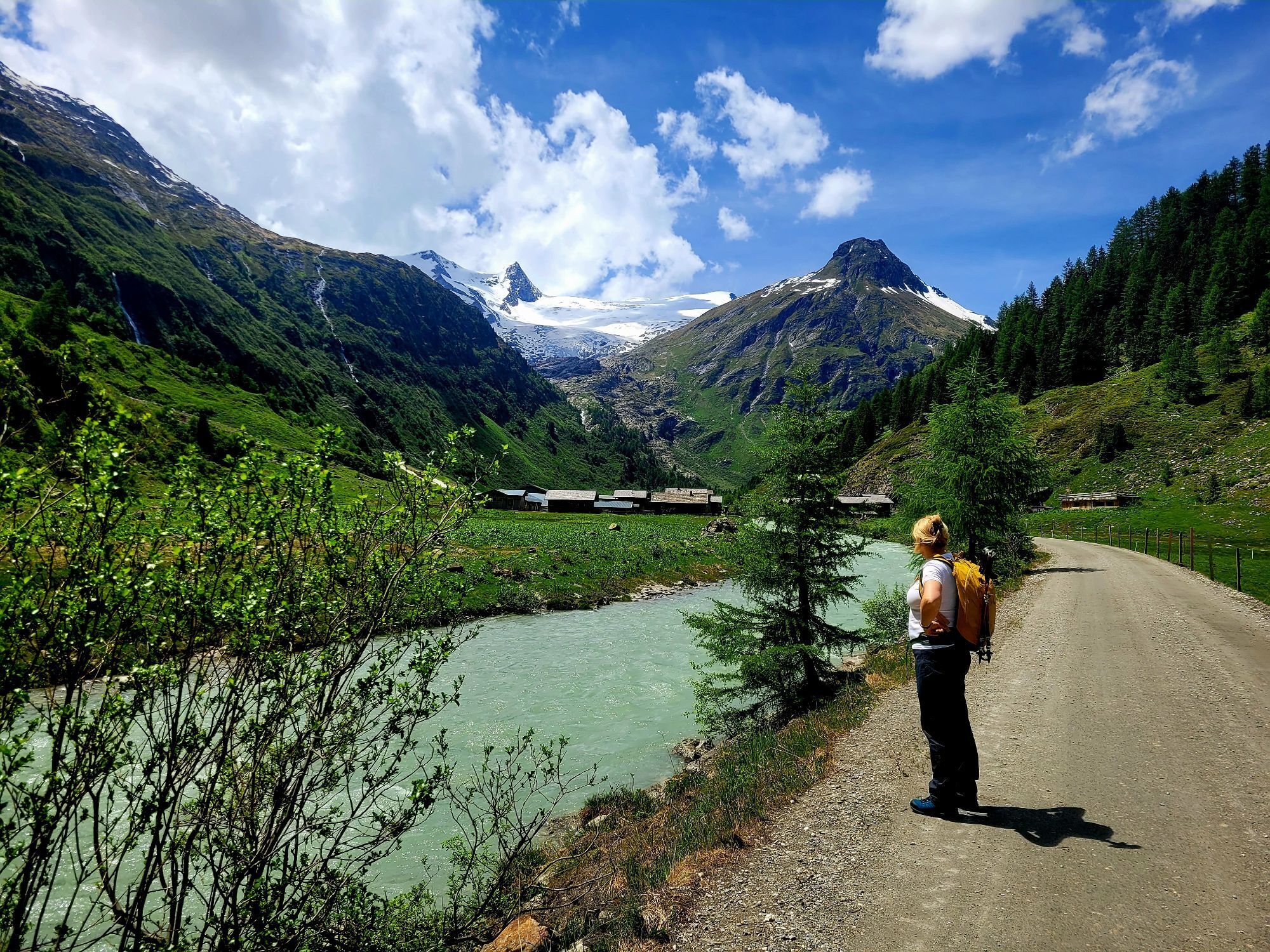
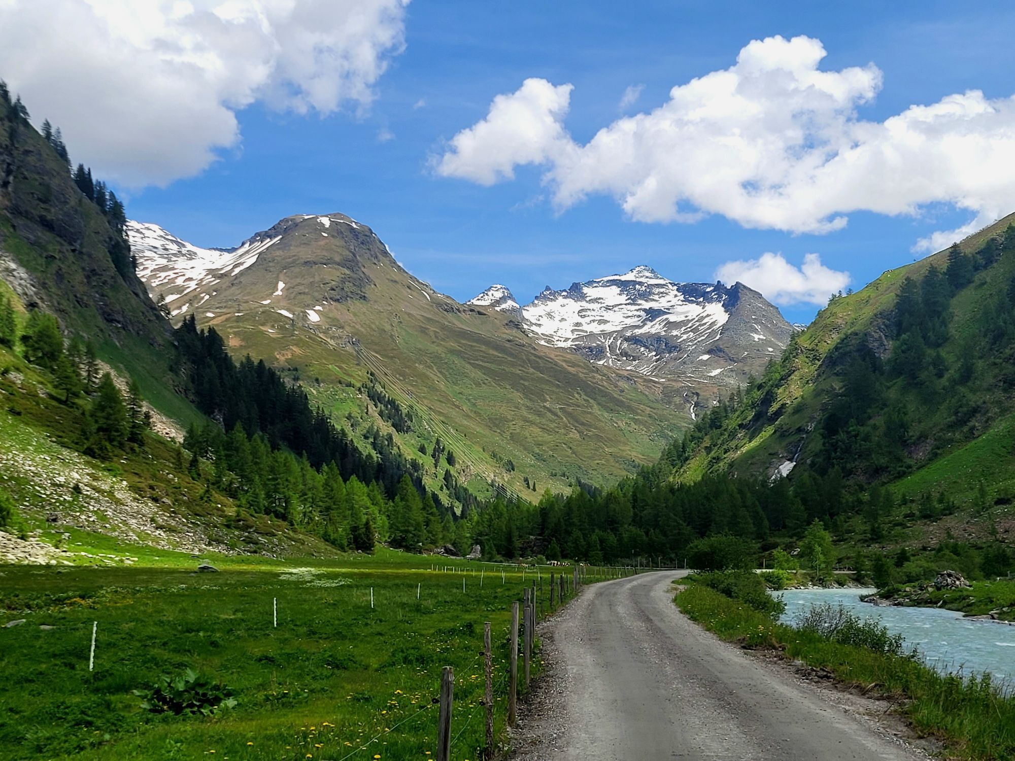
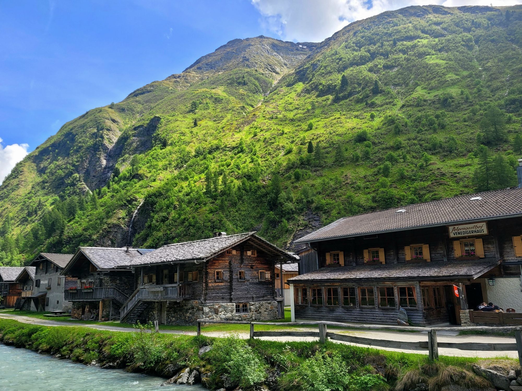
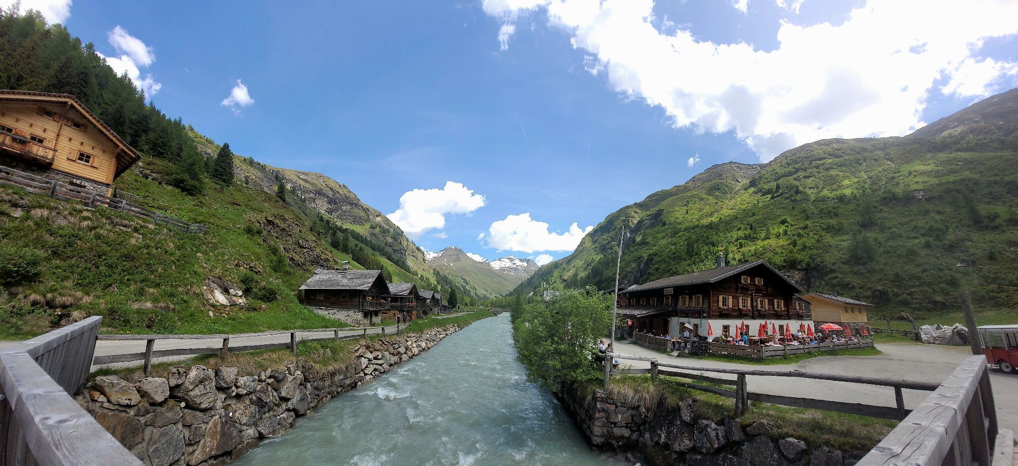
The starting point of this more demanding hike is the parking place Matreier Tauernhaus. From there, follow the slightly ascending road towards the Gschlößtal and continue along the Wohlgemuthalmen to...
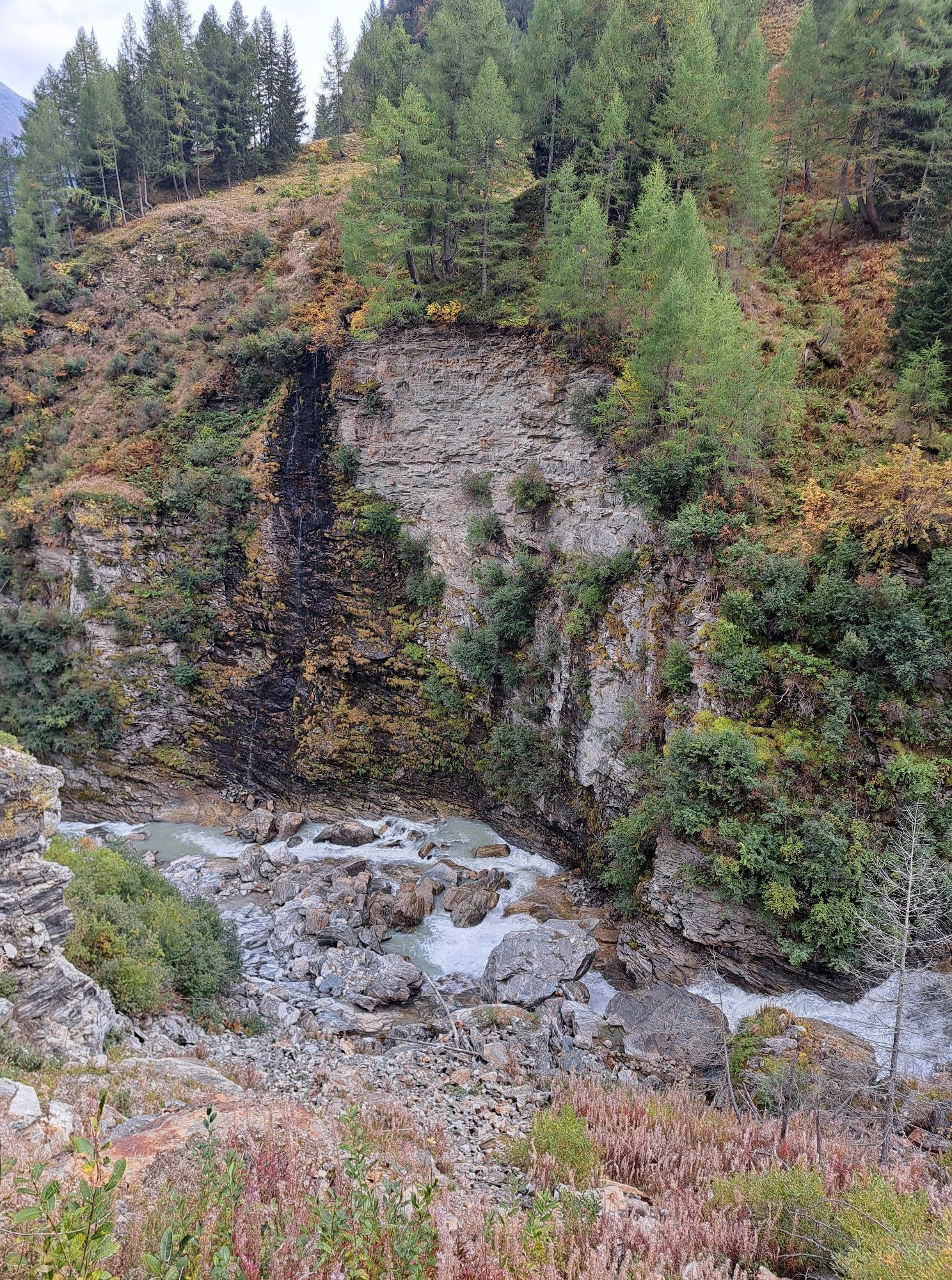
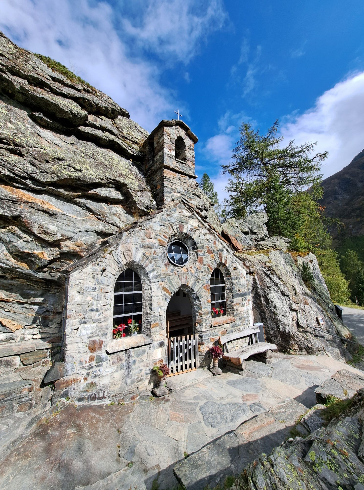
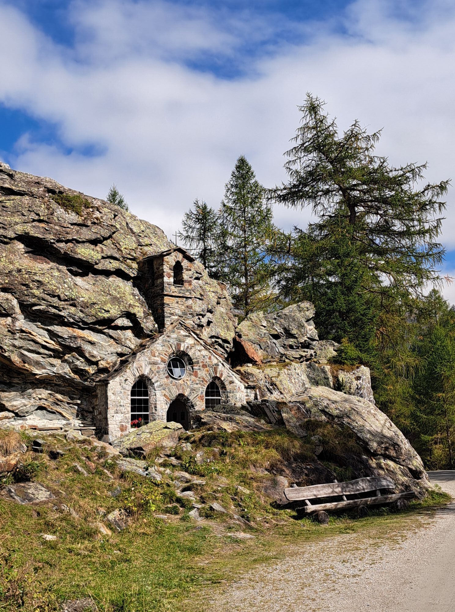
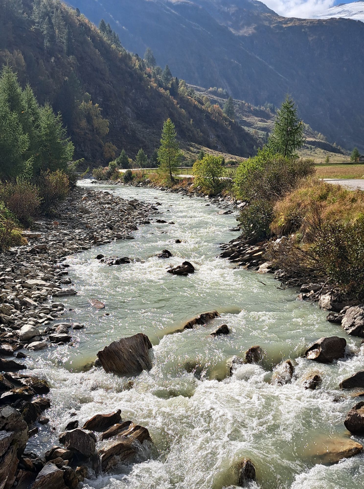
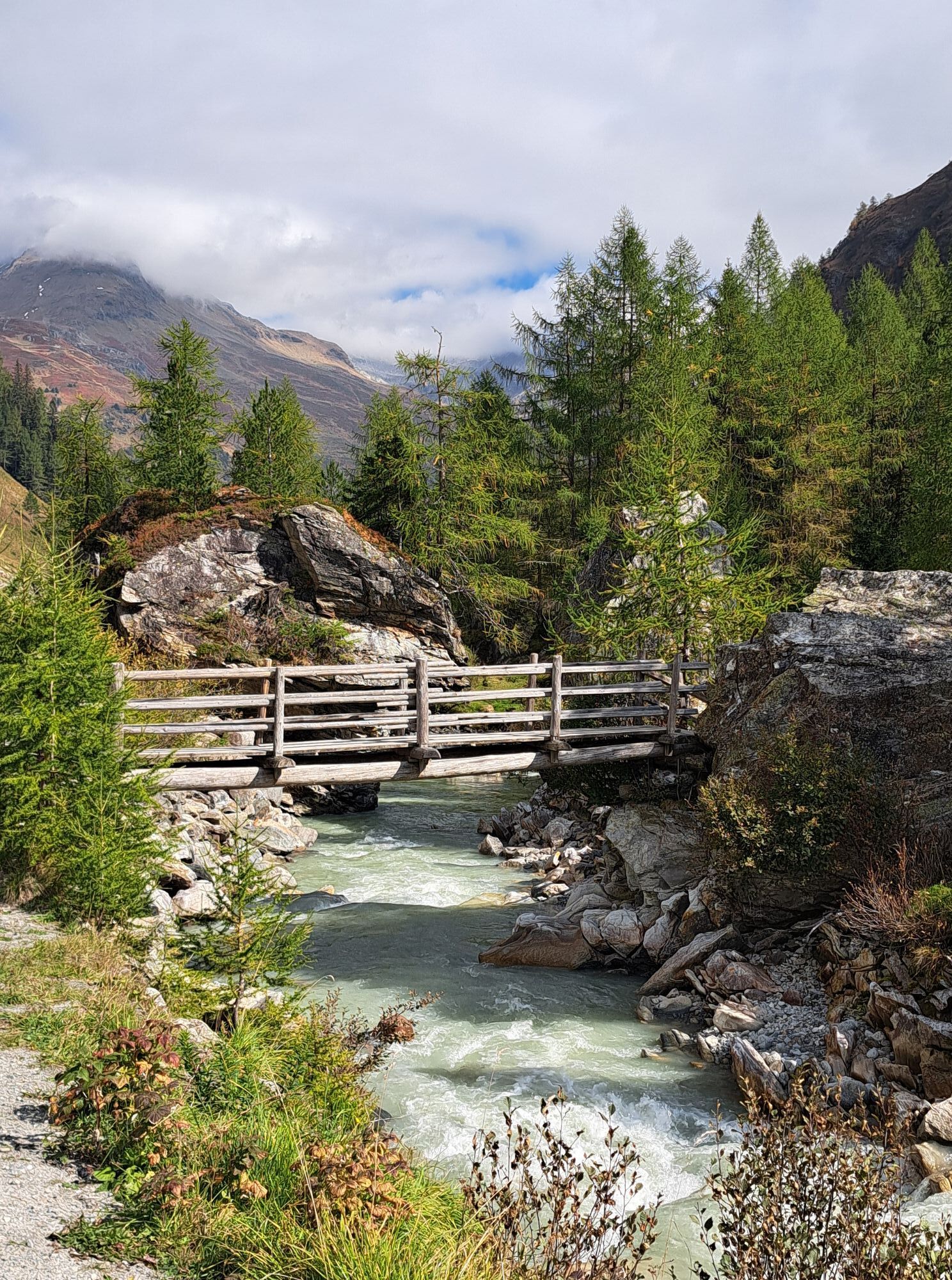
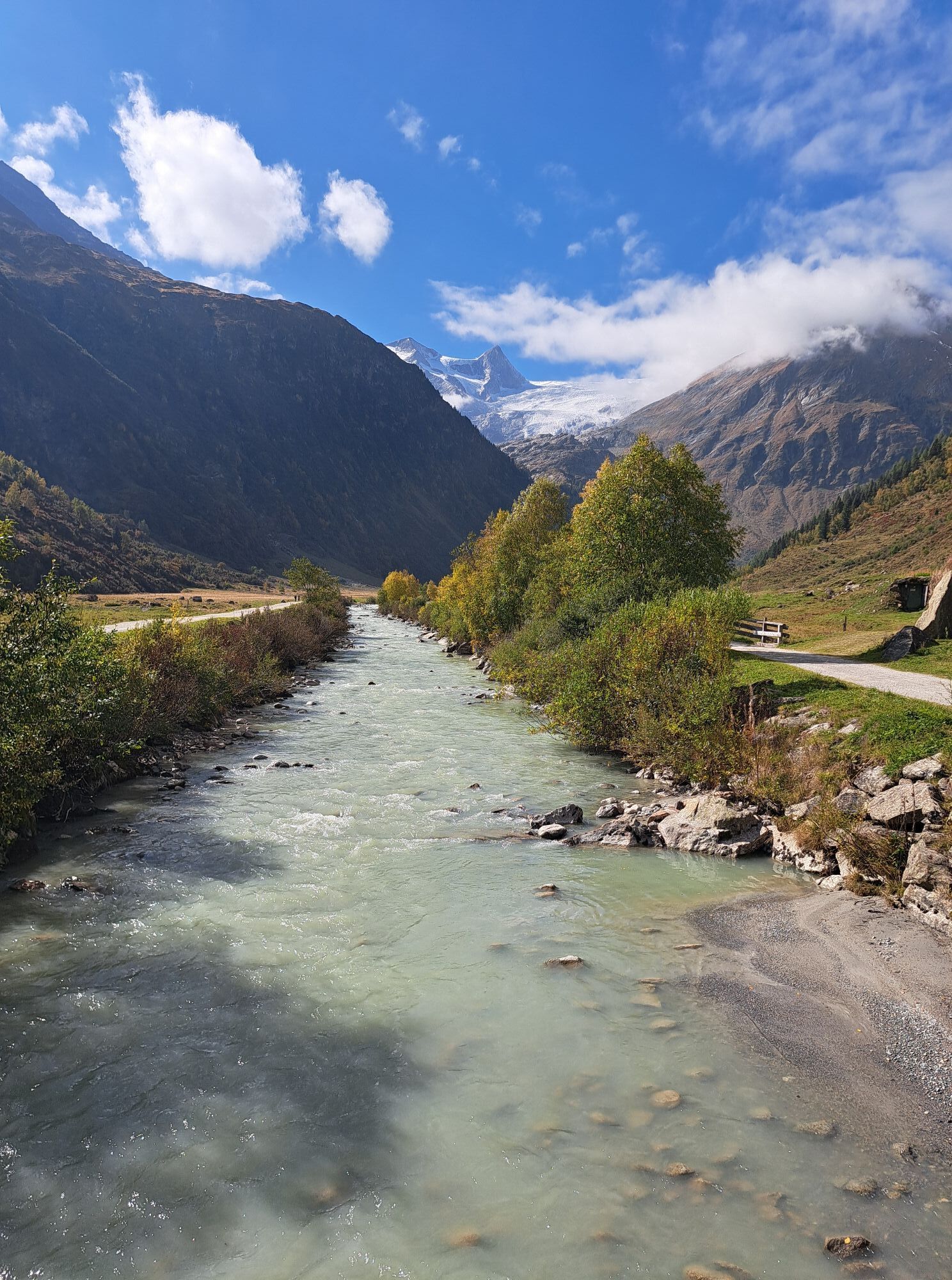
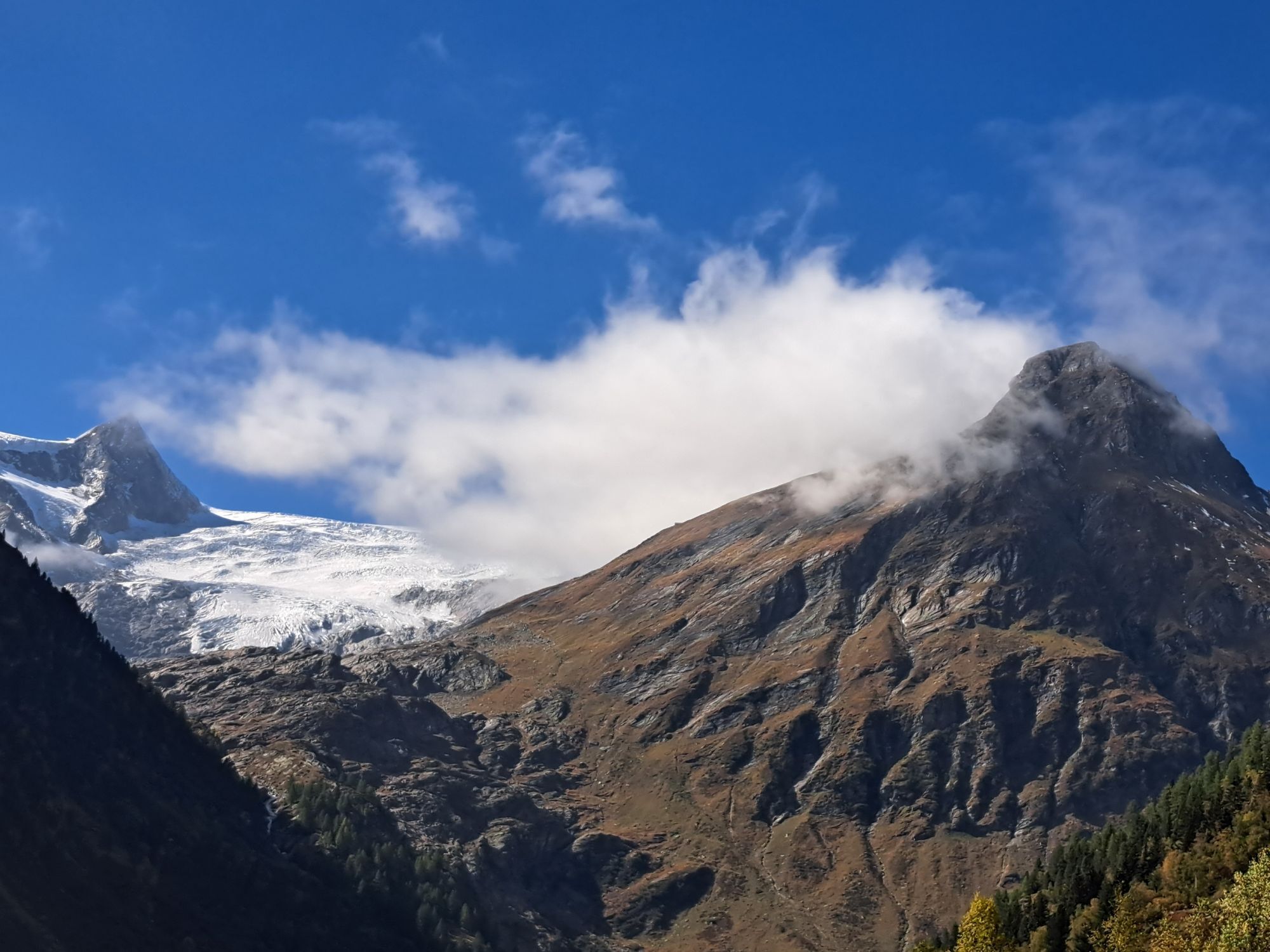
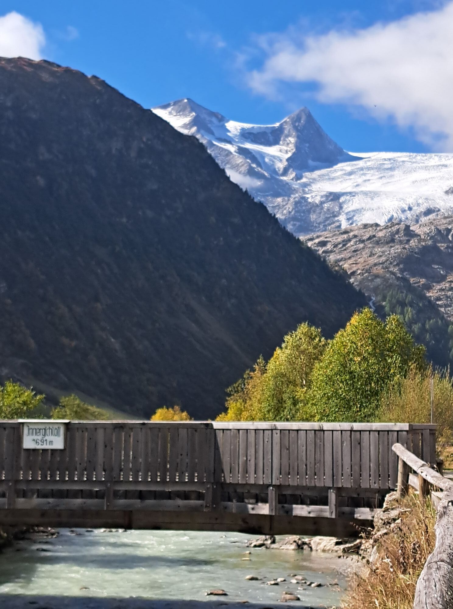
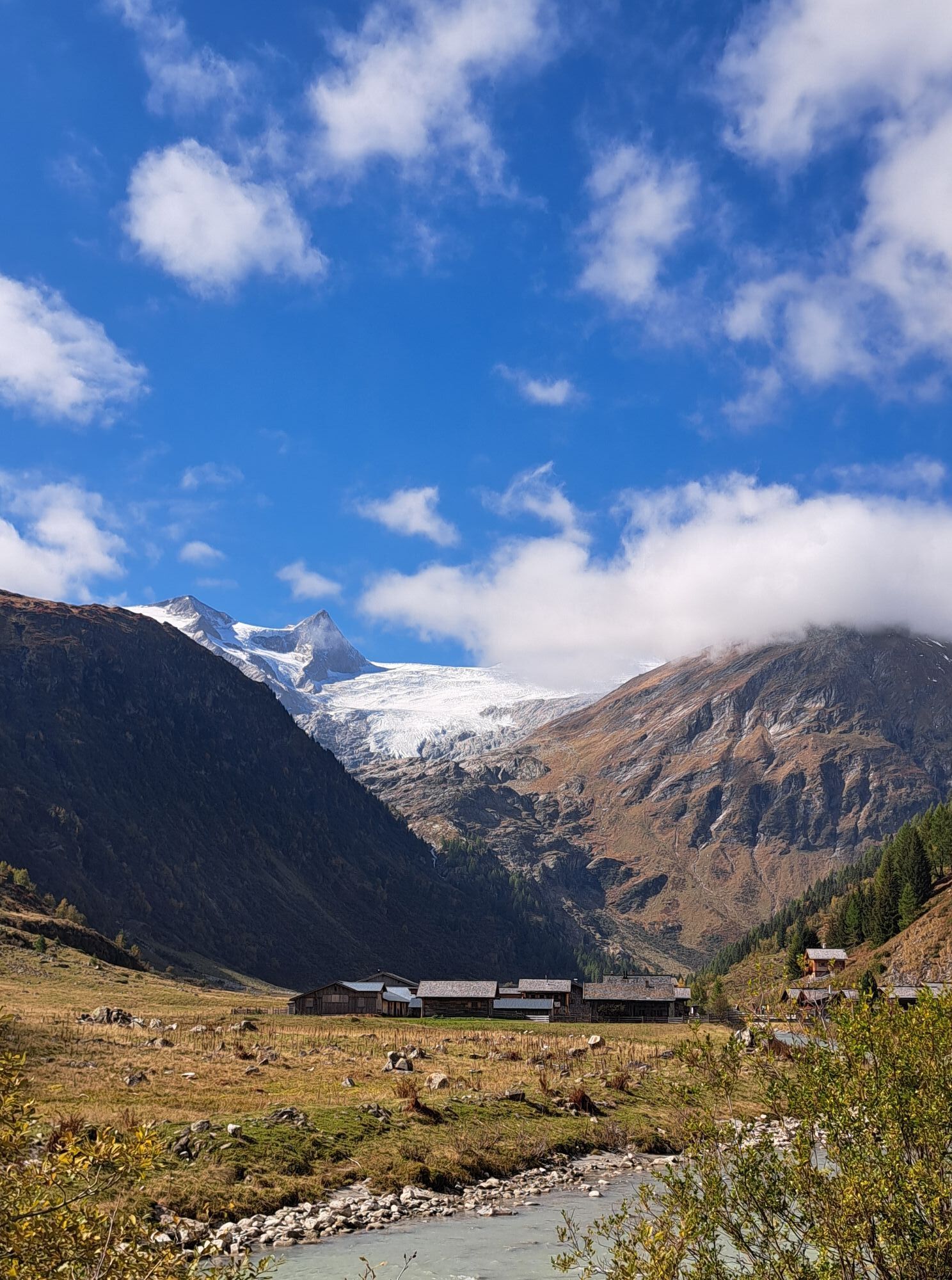
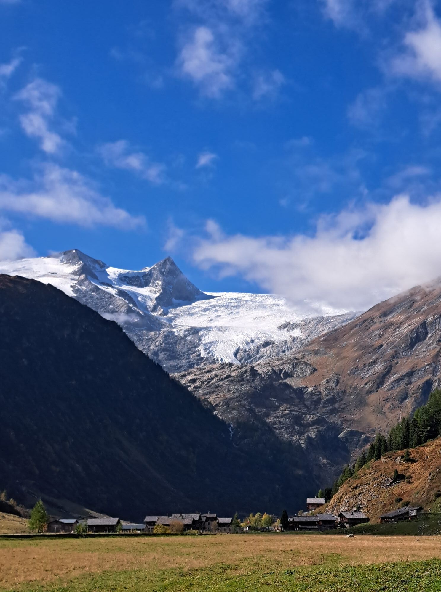
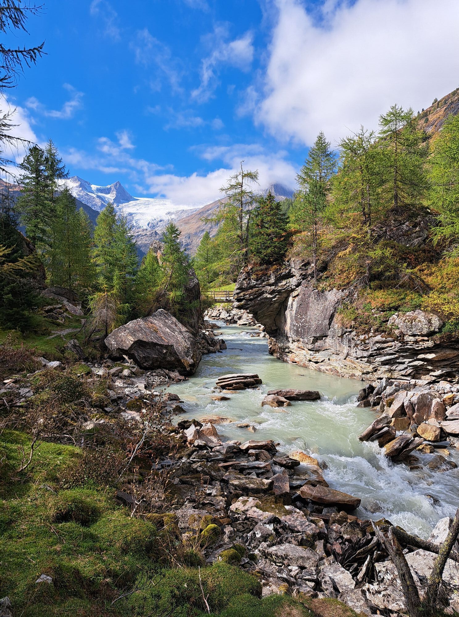
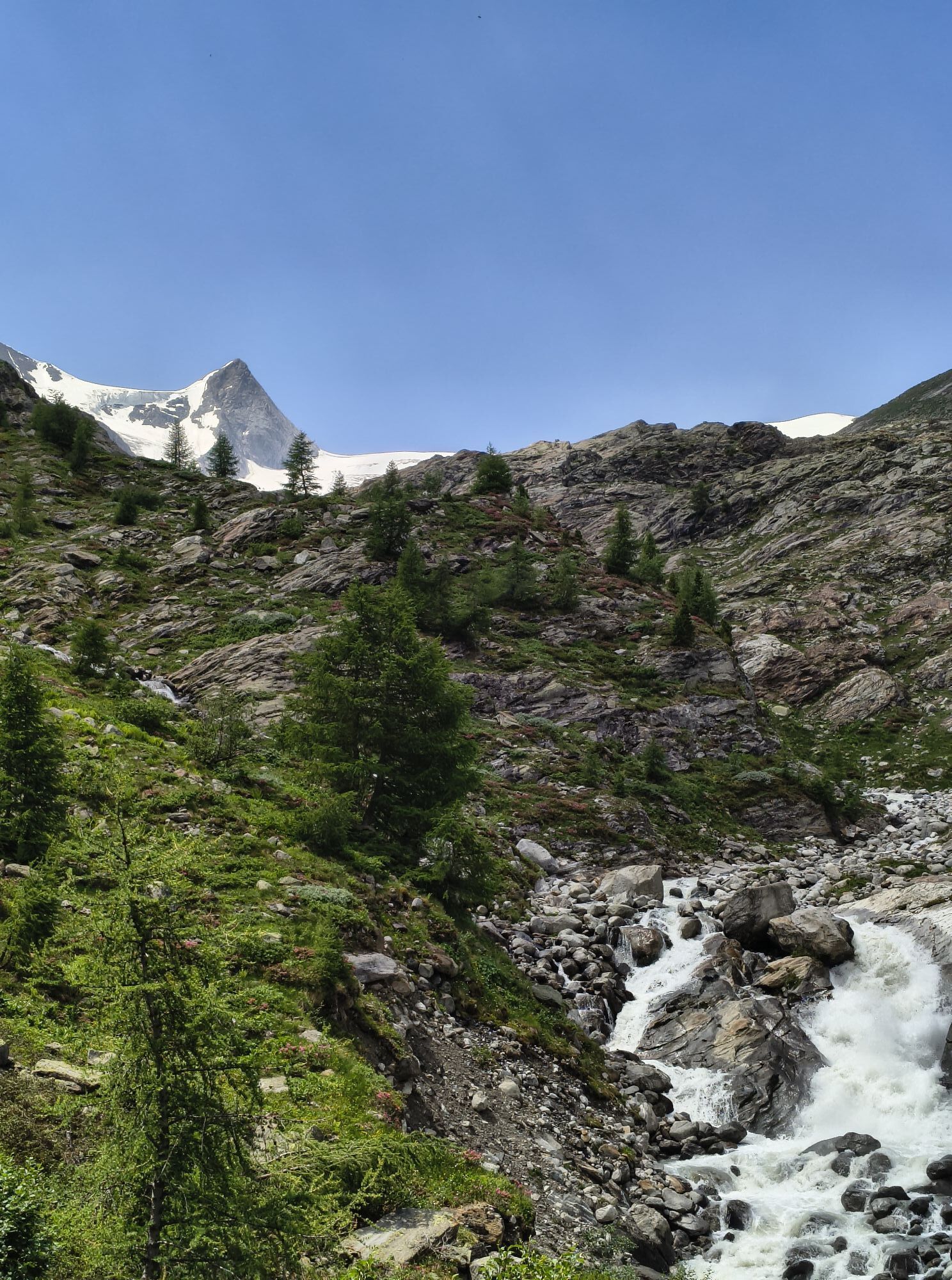
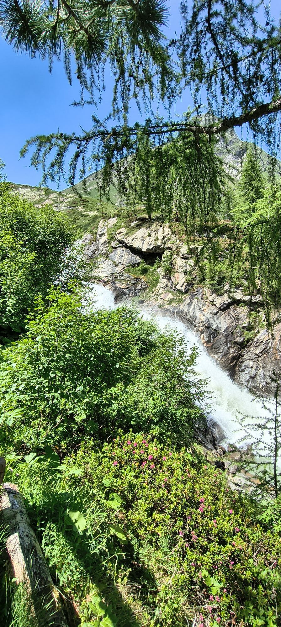
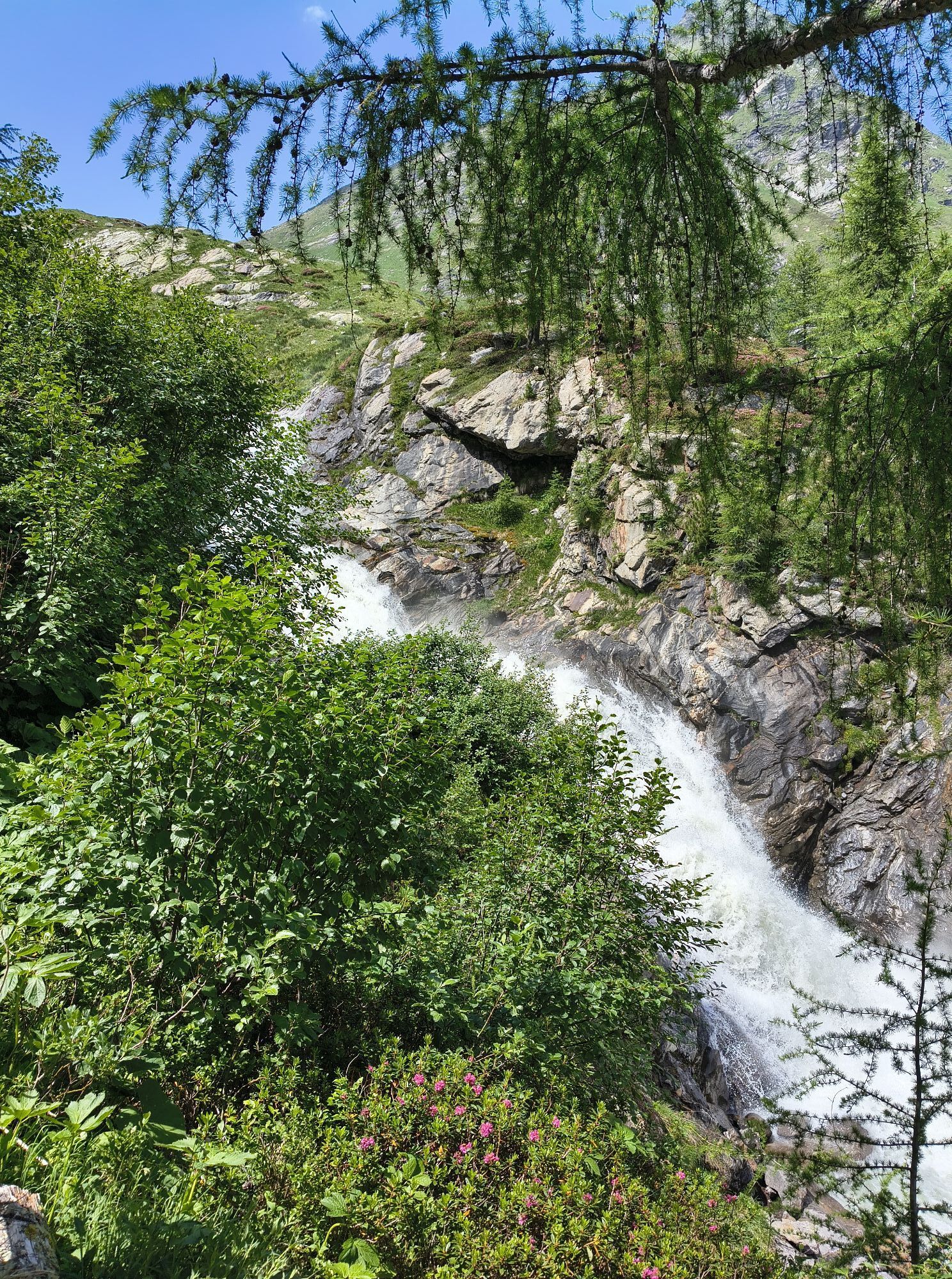
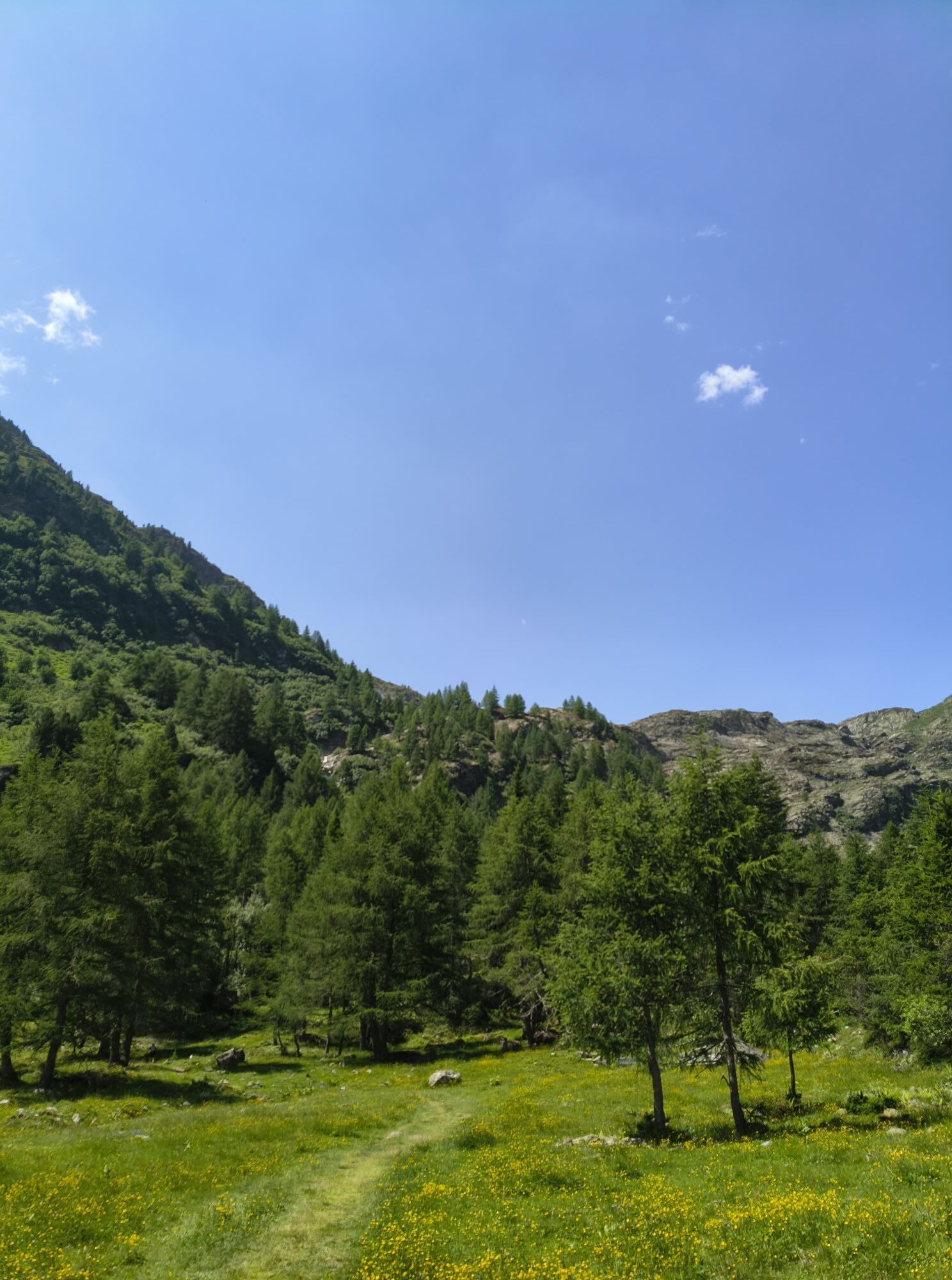
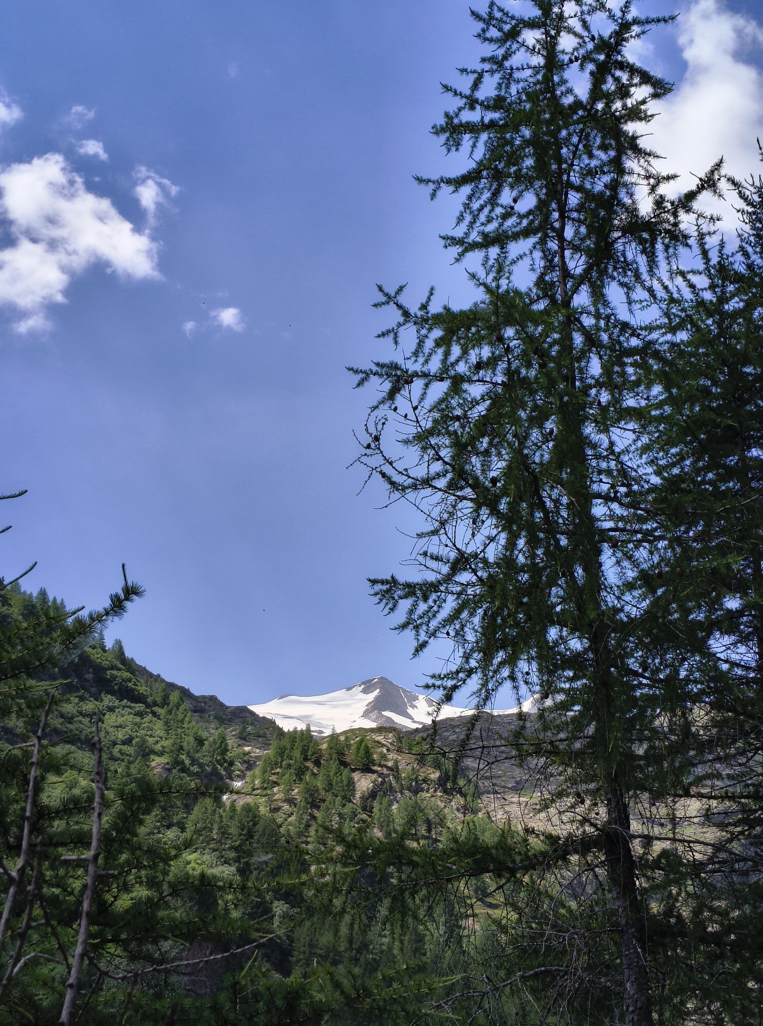
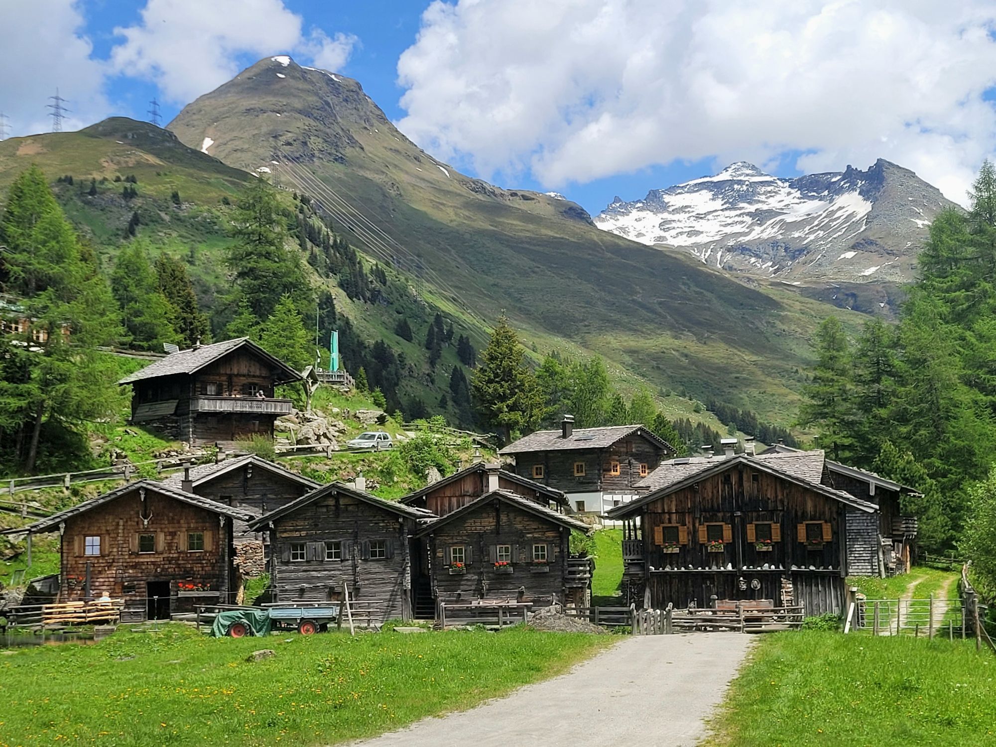
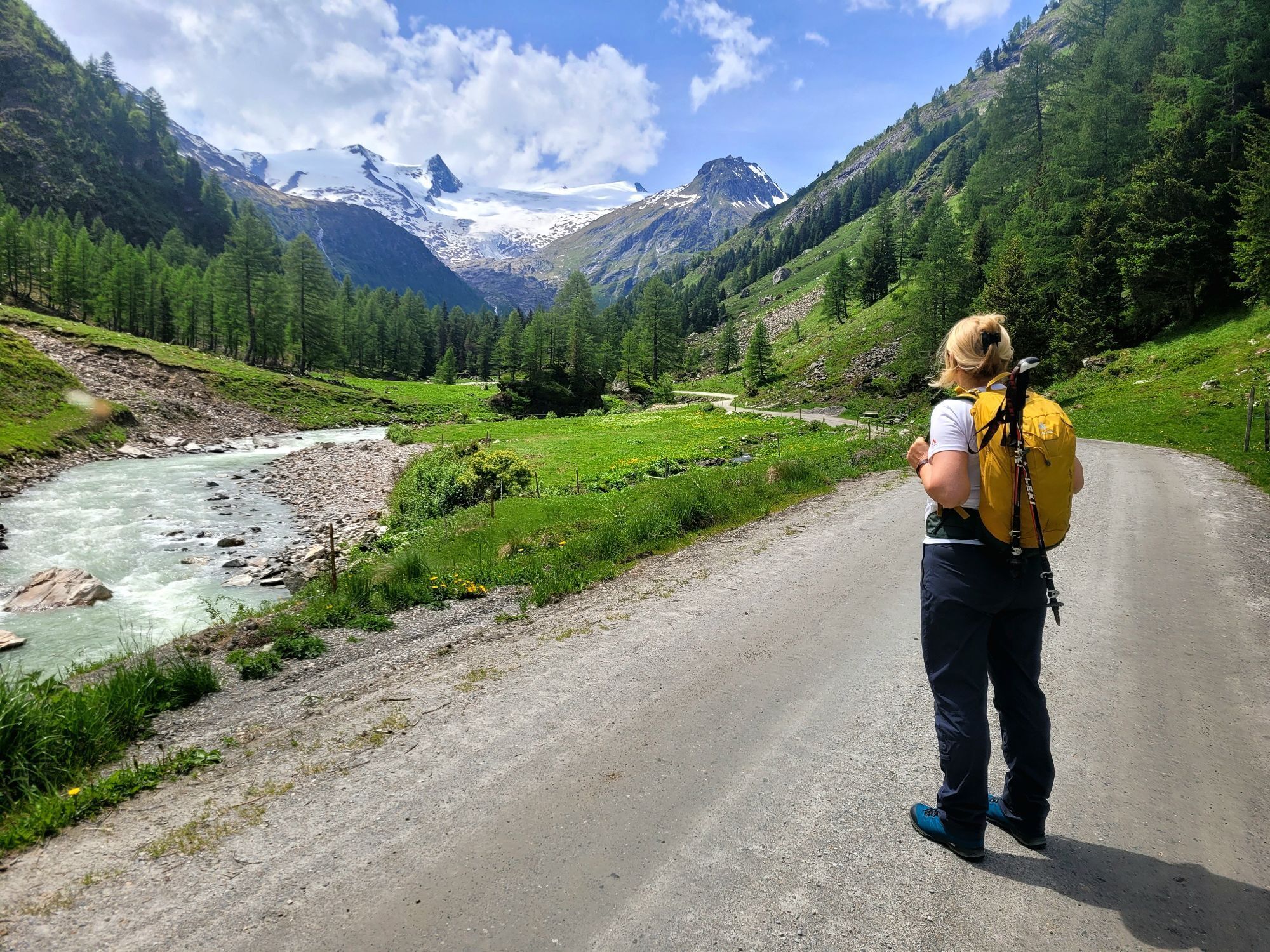
The starting point of this more demanding hike is the parking place Matreier Tauernhaus. From there, follow the slightly ascending road towards the Gschlößtal and continue along the Wohlgemuthalmen to the Berghaus Außergschlöß. Along the stream Gschlößbach leads a moderate path towards the Venedigerhaus Innergschlöß. Passing the Venedigerhaus, continue along the right side of the stream until you reach the bridge, which you then have to cross. Take the path up to the hut Alte Prager Hütte. From the Alte Prager Hütte follow the marked path up to the hut Neue Prager Hütte. On this hike you have a fabulous view of the Schlatenkees and the Großvenediger.


Basic equipment for mountain hiking includes sturdyâ¯hikingâ¯boots with a good tread, a 30-35 liter backpack, and functional clothing based on the layering principle, including sufficient spare clothes. Essential items are rain, cold, and sun protection, adequate fluids and food, as well as a first-aid kit and a charged mobile phone. A map or a GPS device supports orientation.
The information serves as a guideline and does not claim to be exhaustive. Equipment must always be adapted to theâ¯planned route, weather conditions, season, natural hazards, environmental influences, and personal needs.
From Matrei in Osttirol drive along the street Felbertauernstraße. Follow the road for 16 km and 2 km before the south portal of the tunnel Felbertauerntunnel turn left towards the Matreier Tauernhaus.
Bus stop Matreier Tauernhaus
Car park Matreier Tauernhaus
Activités le long du parcours
-

Matrei in Osttirol, Tirol/Österreich
22.08.2026 – Randonnée -

Matrei in Osttirol, Tirol/Österreich
10.08.2026 – Randonnée -

Matrei in Osttirol, Tirol/Österreich
12.07.2026 – Randonnée -

Hüttentour Ende Abstieg neue Prager Hütte zum Matreier Tauernhaus
08.07.2026 – Randonnée en montagne -
Matrei in Osttirol, Tyrol/Austria
06.07.2026 – Randonnée -
Matrei in Osttirol, Tirol/Österreich
05.07.2026 – Randonnée
Parcours populaires à proximité
-
4,8
NaturKraftWeg Umbalfälle
facileChemin thématique 5,99 km -
4,2
Gletscherlehrweg Innergschlöß
moyenRandonnée 9,36 km -
4,8
Circular hike suspension bridge Isel Canyon via "Hohe Bank"
moyenRandonnée 8,11 km -
3,7
Smaragdwanderweg Habachtal/Bramberg
facileRandonnée 7,17 km -
4,5
Circular hike Proßeggklamm
moyenRandonnée 8,41 km -
3,9
Mittersill - Hintersee und Plattachsee
difficileRandonnée 9,90 km -
4,7
Hollersbach - Neue Fürther Hütte
Randonnée 16,0 km -
4,7
Vom Matreier Tauernhaus über die Felsenkapelle nach Innergschlöss
facileRandonnée 9,19 km -
4,2
Habachtal bis zur Thüringer Hütte
Randonnée 6,53 km -
4,4
Mittersill : Lac Amertaler Chemin n° 521
moyenRandonnée 6,80 km
Randonnée et suivi


Ne manquez pas les offres et l'inspiration pour vos prochaines vacances
Votre adresse électronique a été ajouté à la liste de diffusion.


