






Adlerweg trail. Stage 6: Matrei in East Tirol – Sudetendeutsche Hütte
It is preferable to start this stage at the car park in the hamlet of Glanz, which then saves you a two hour walk. From Matrei i.O. it is a 20 minute drive to get there (taxi service available on request)....
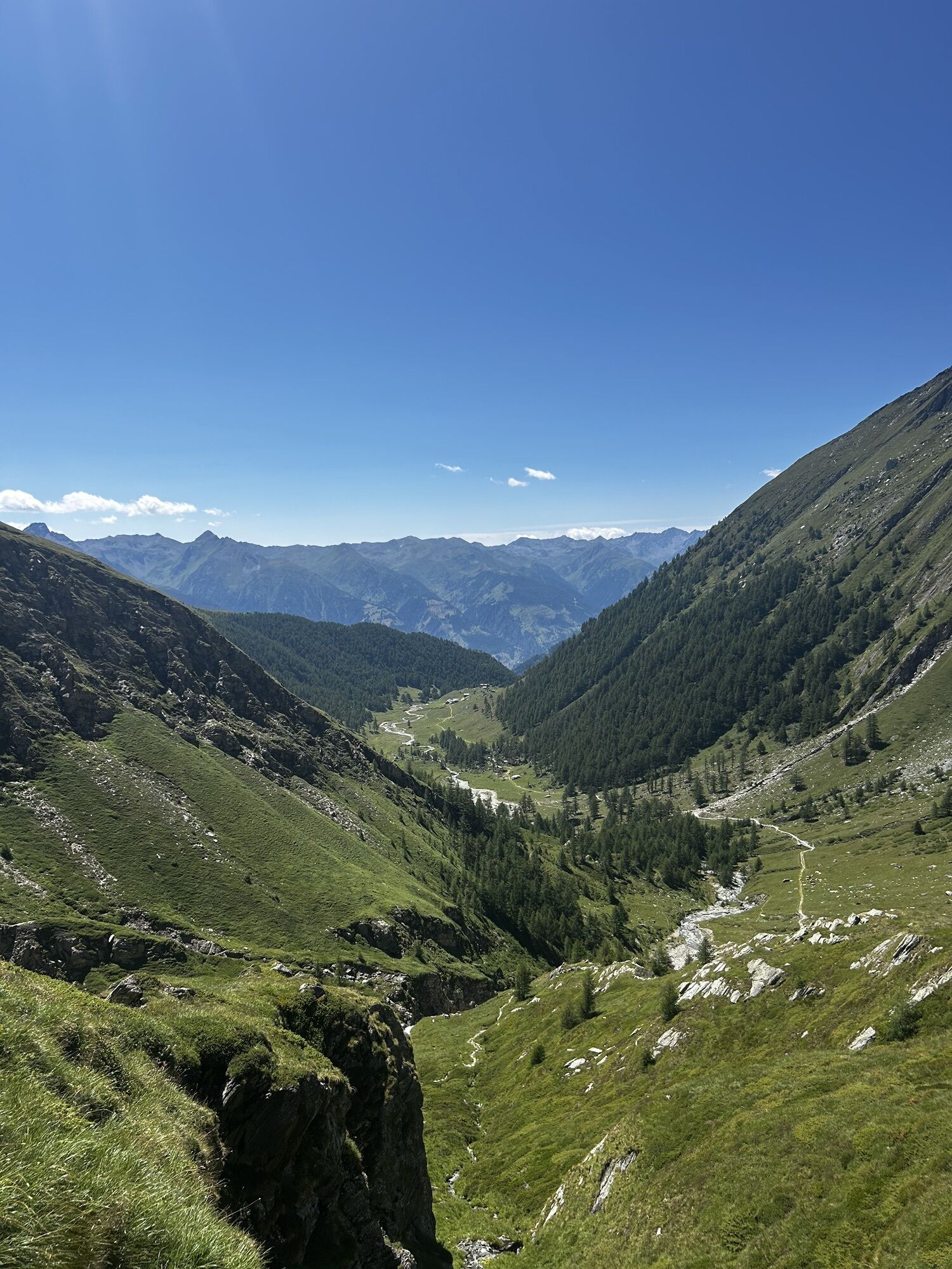
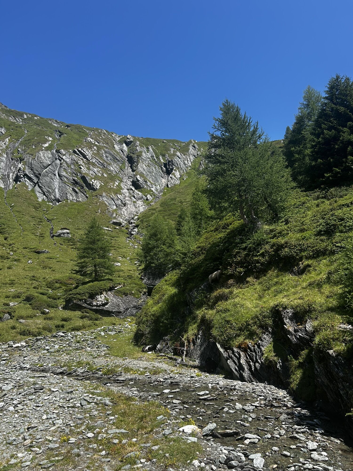
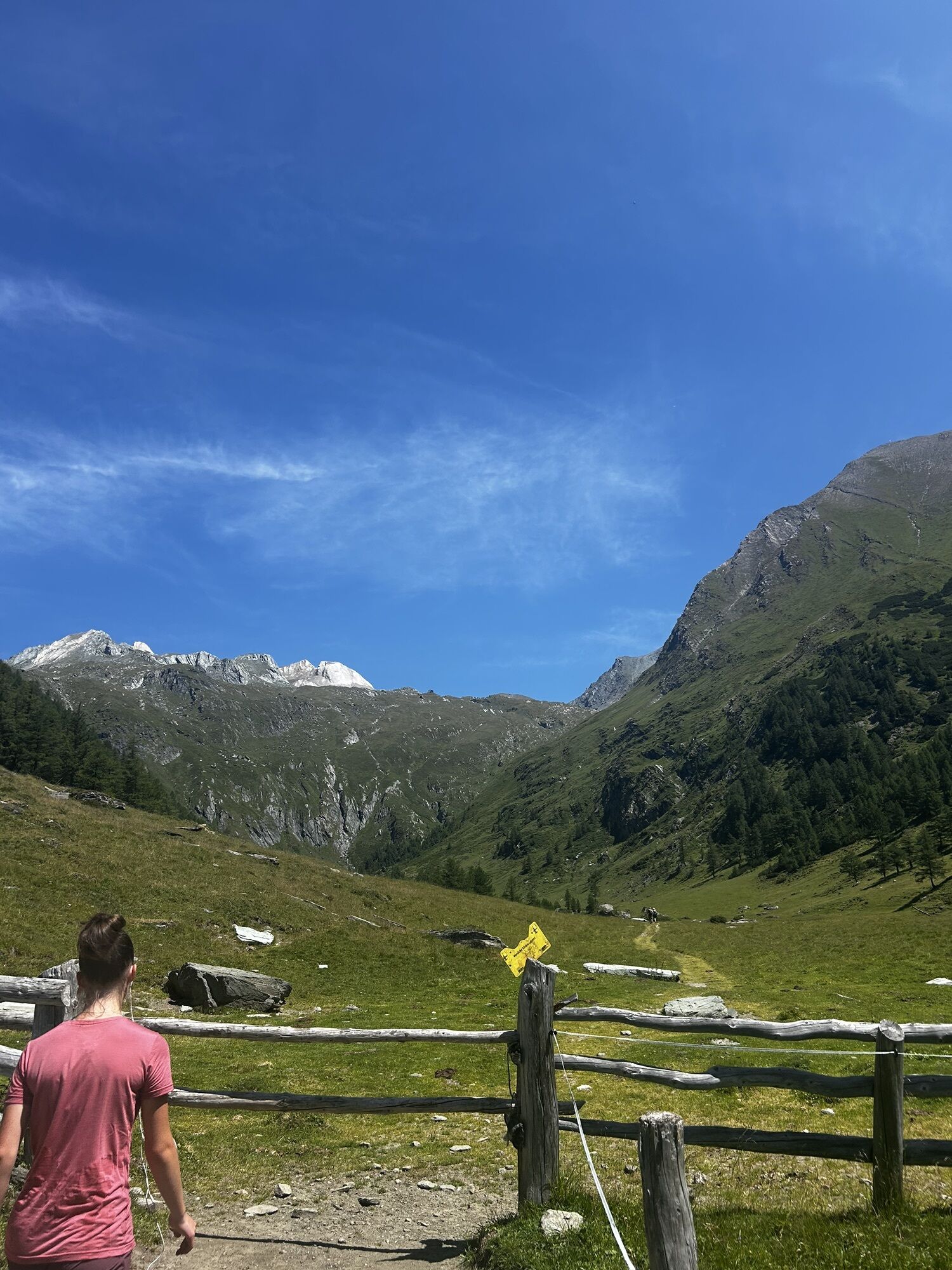
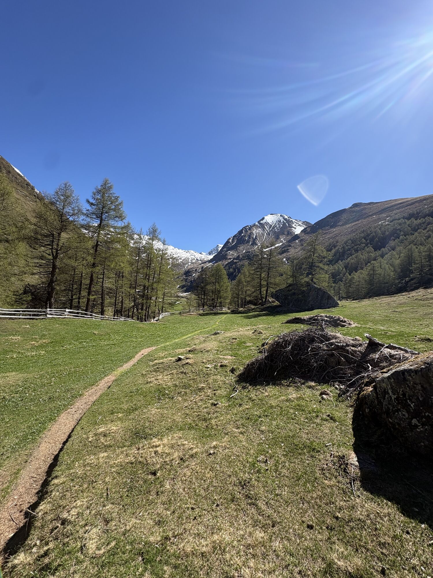
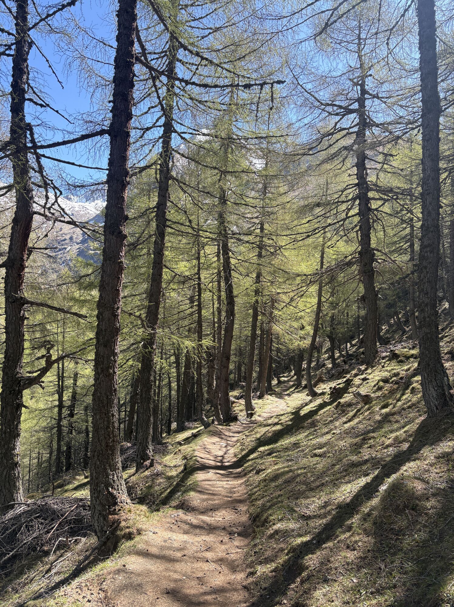
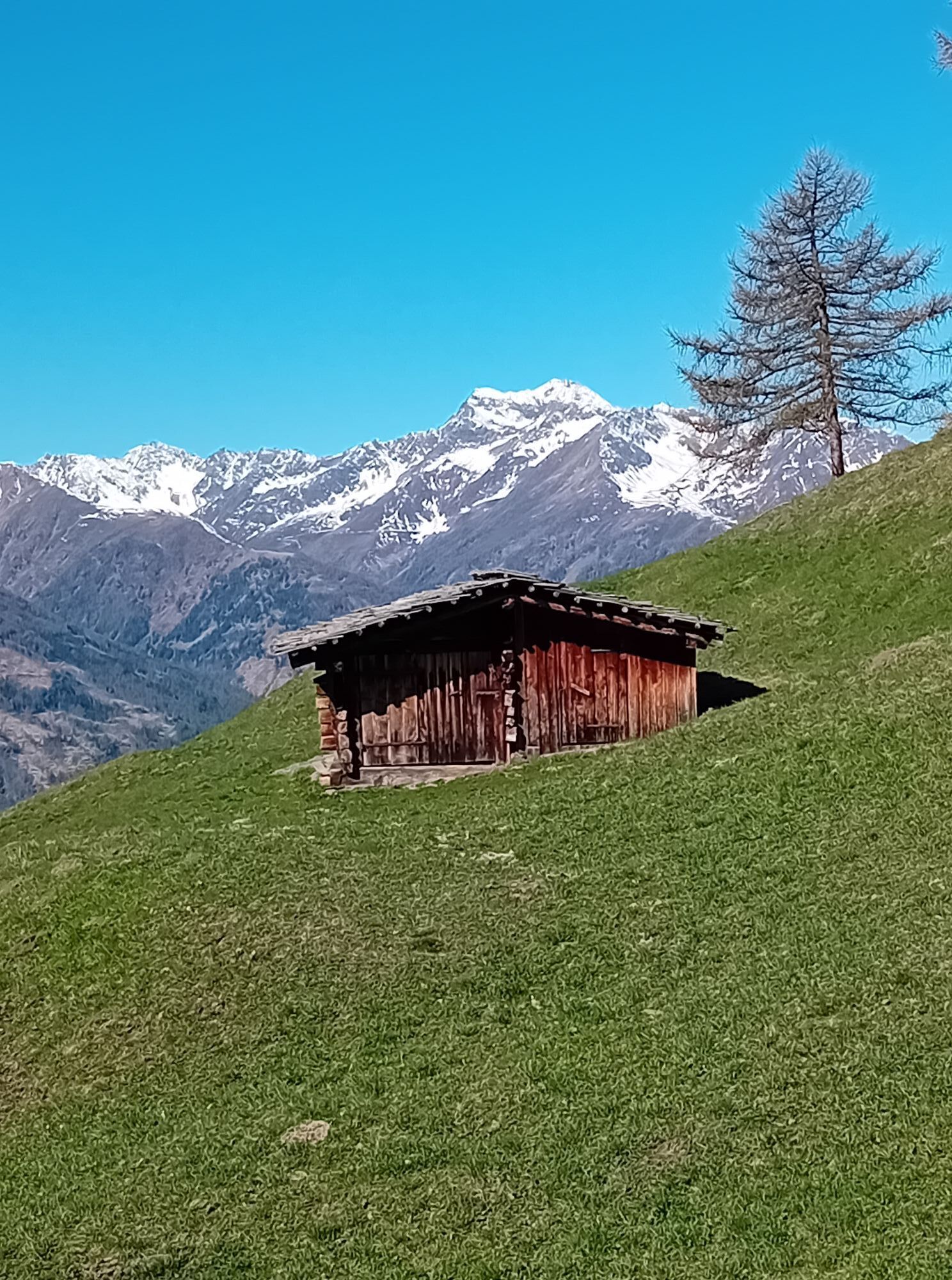
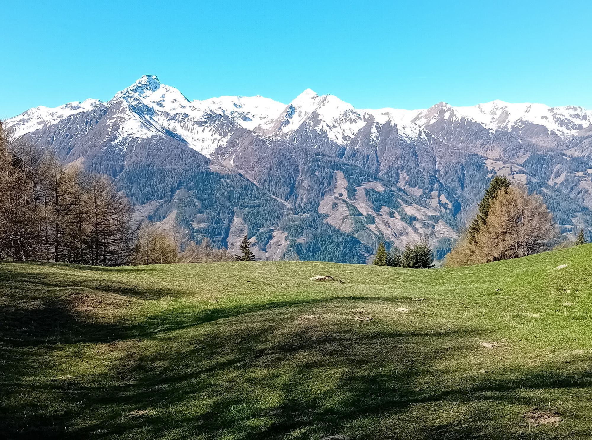
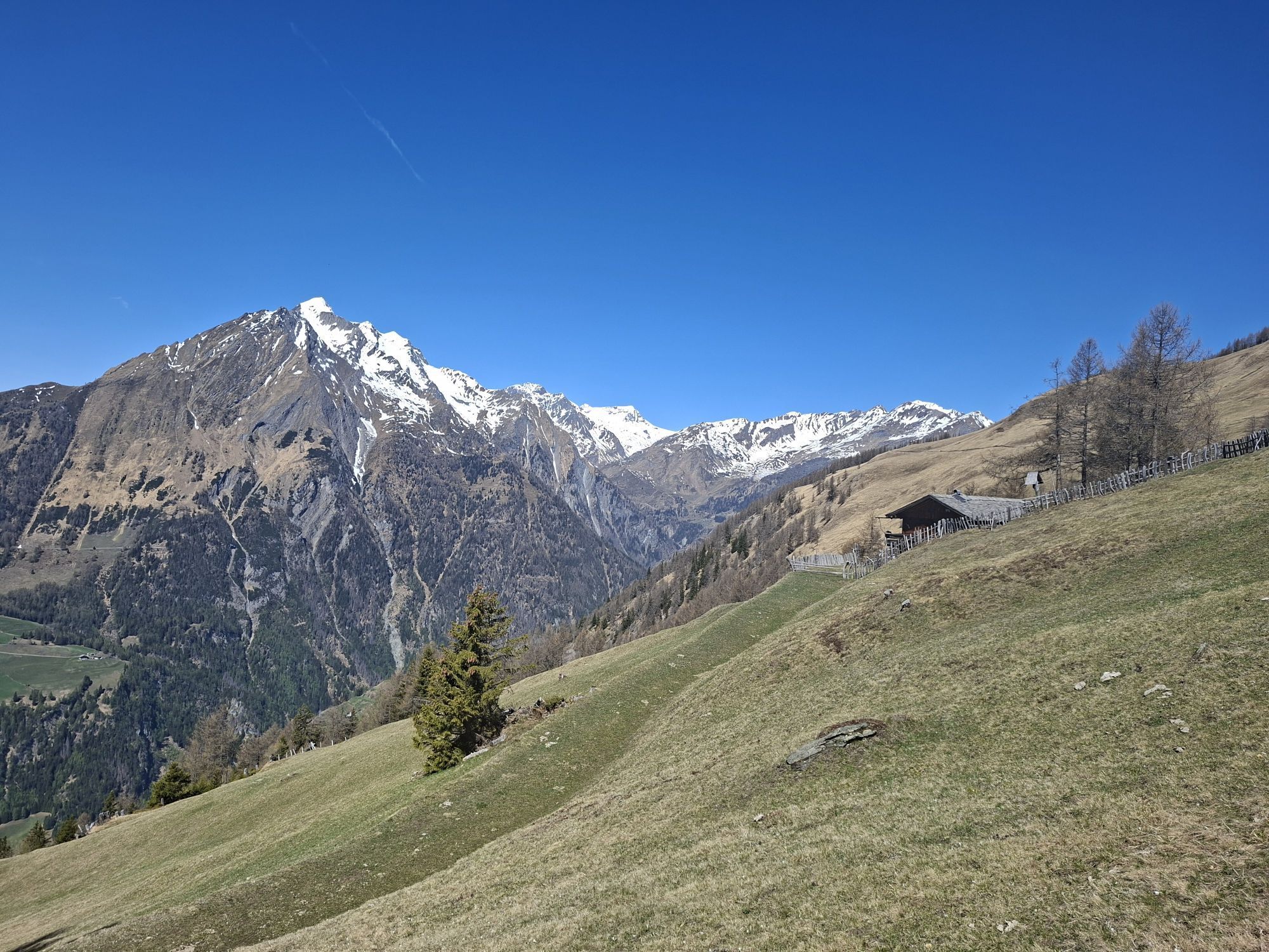
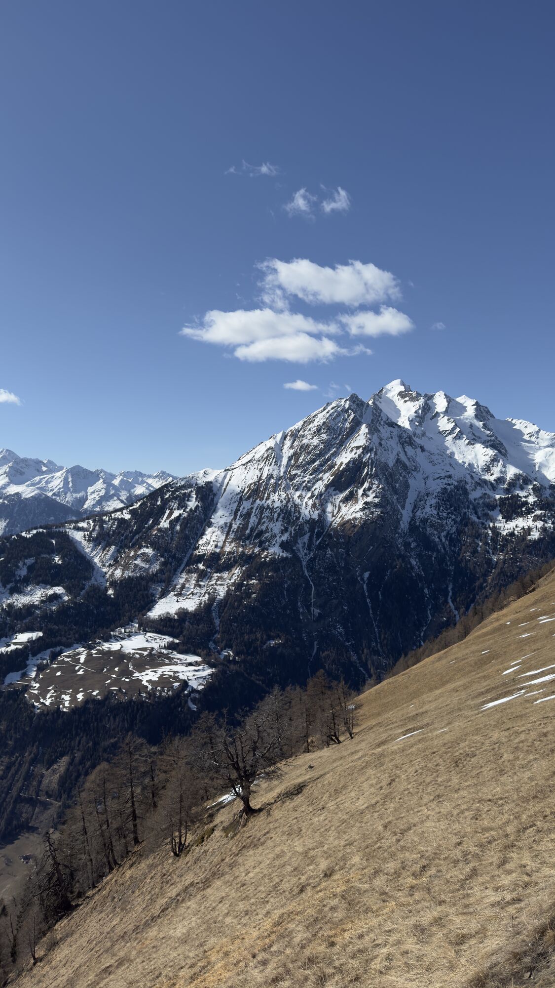
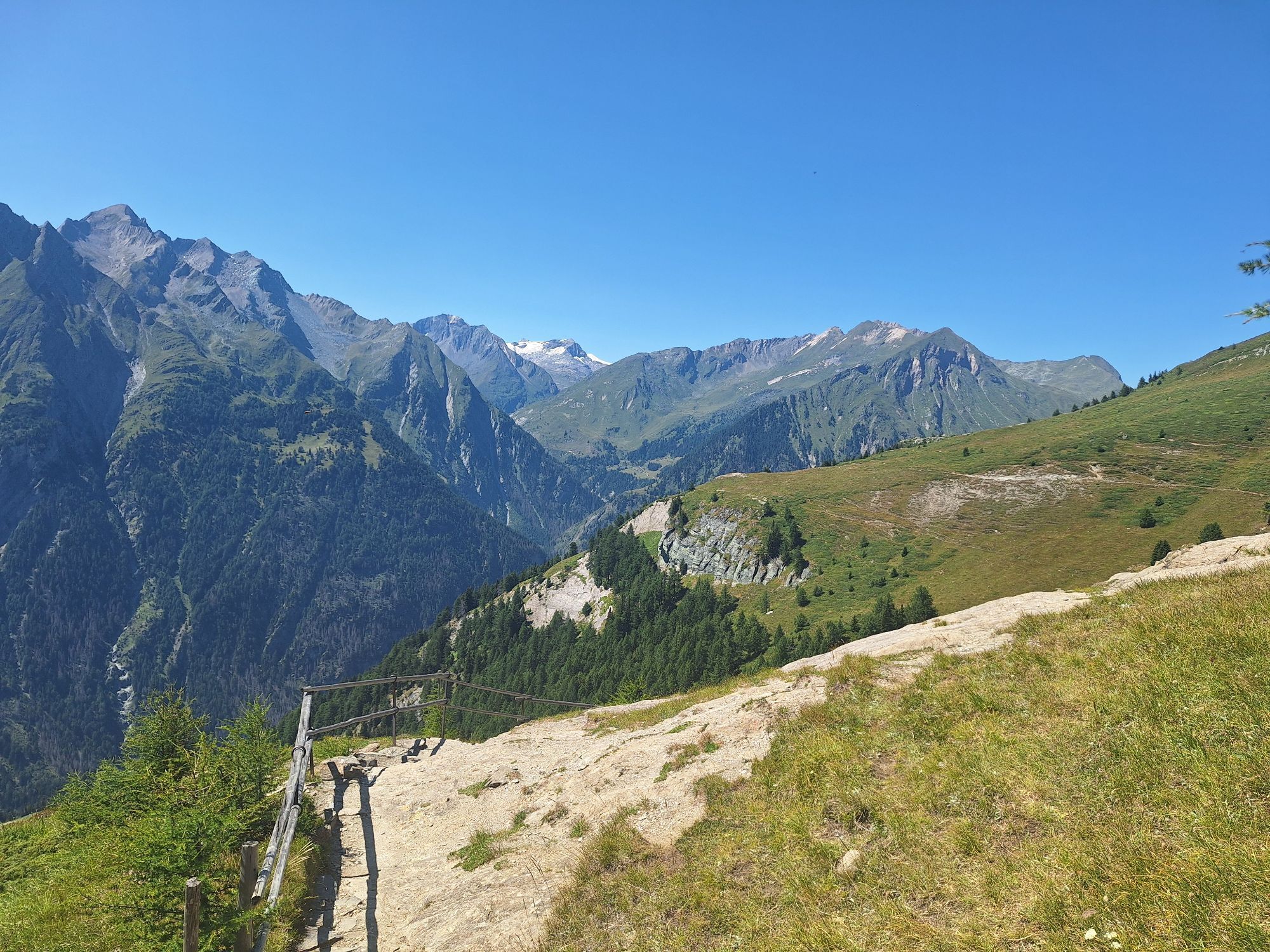
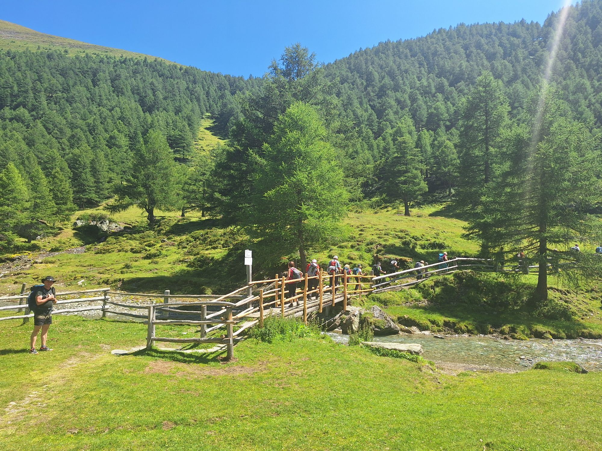
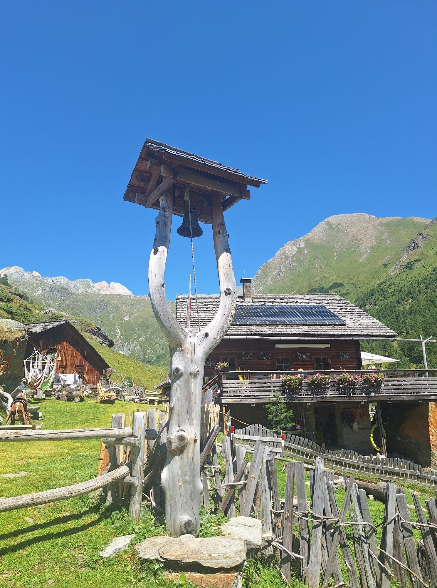
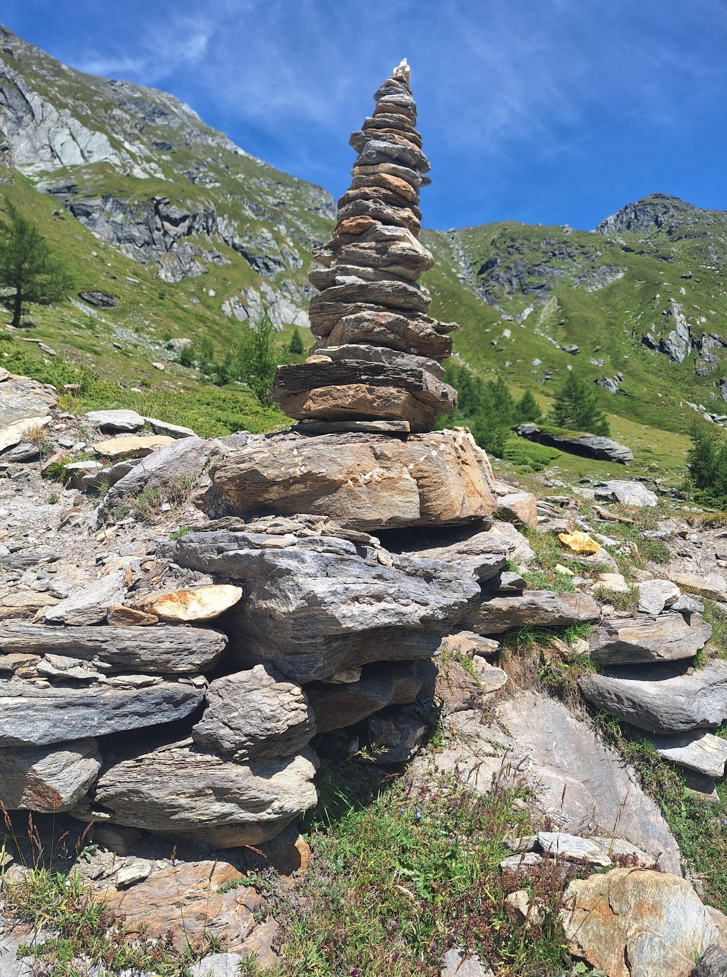
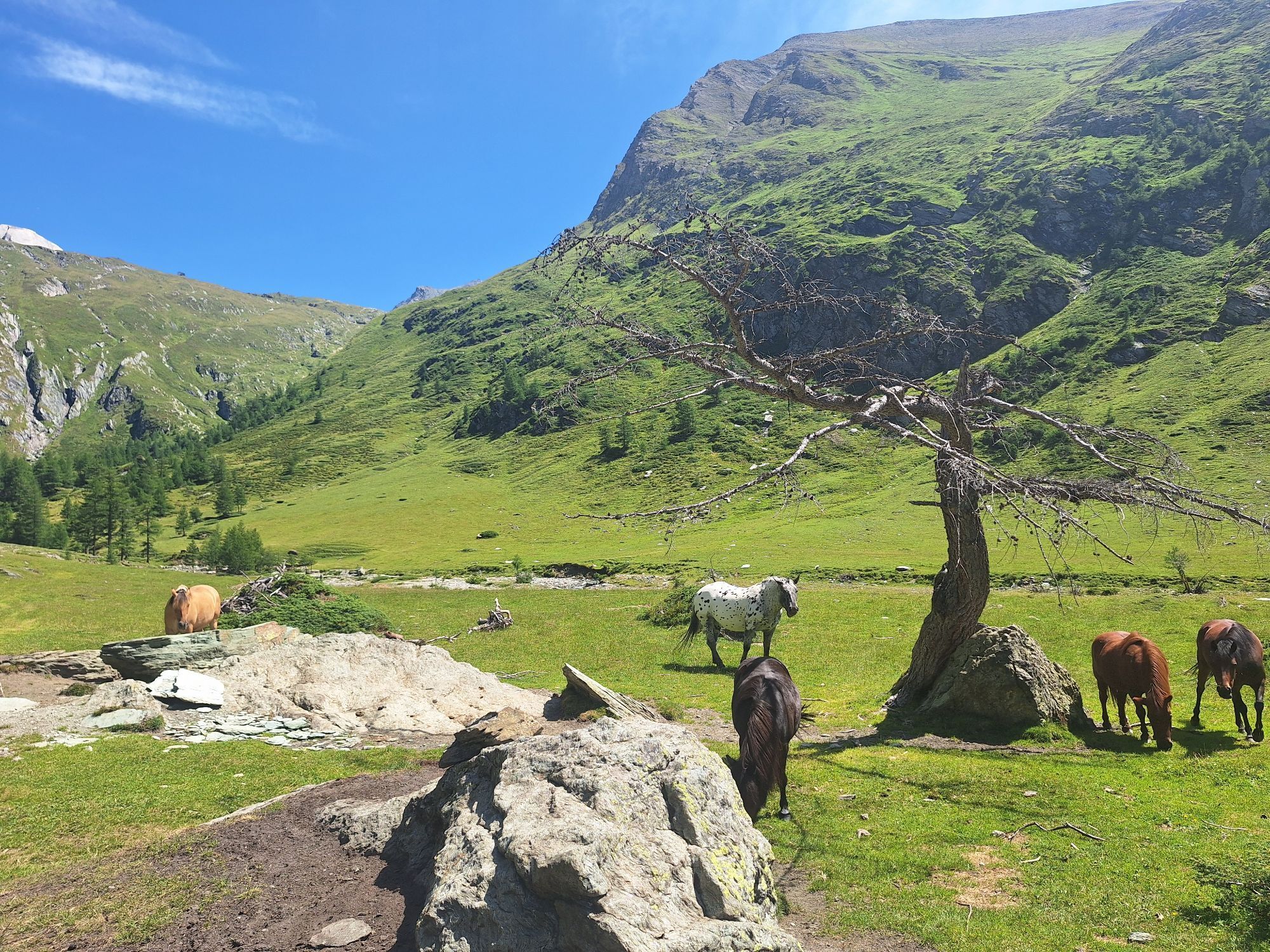
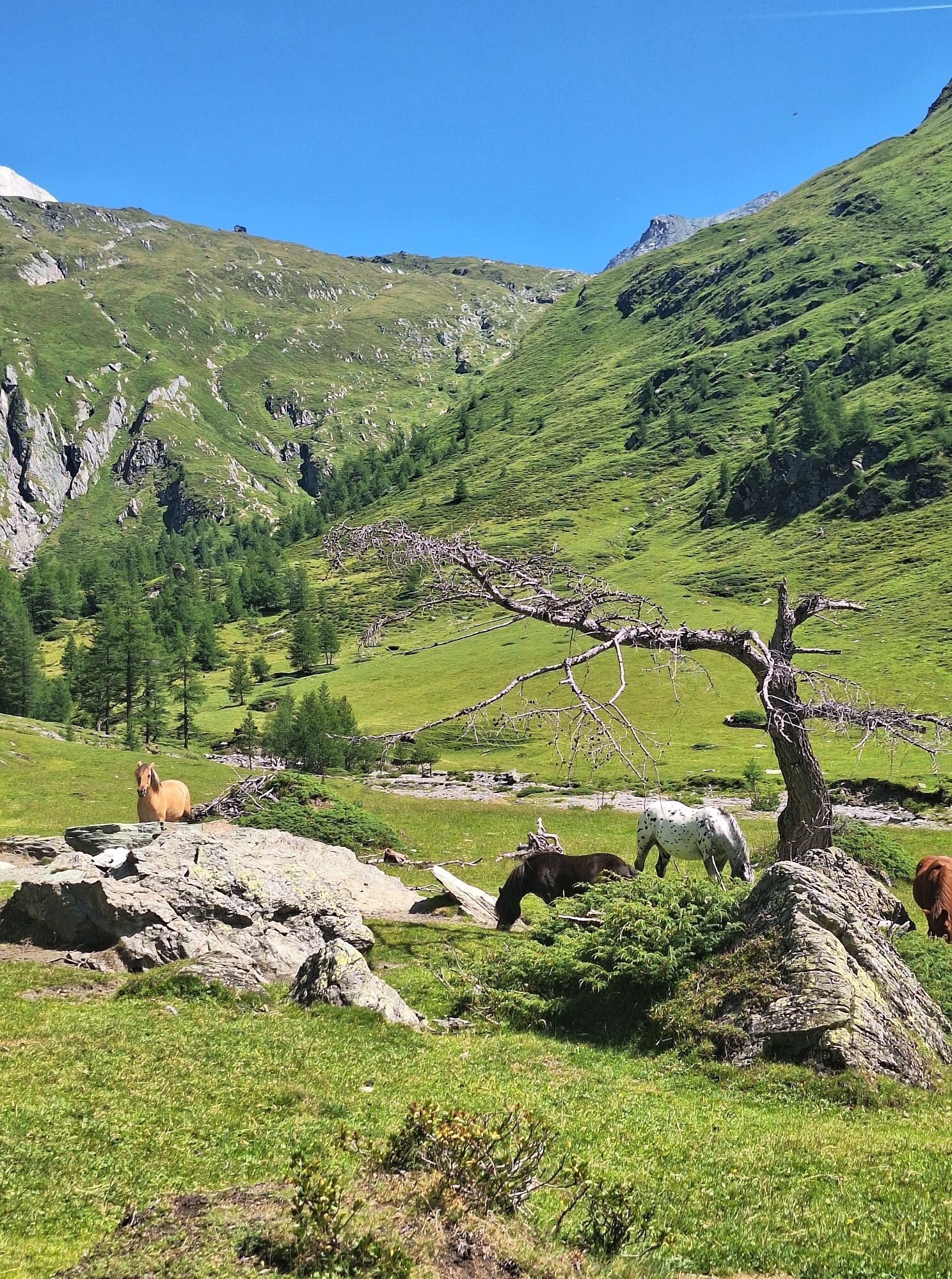
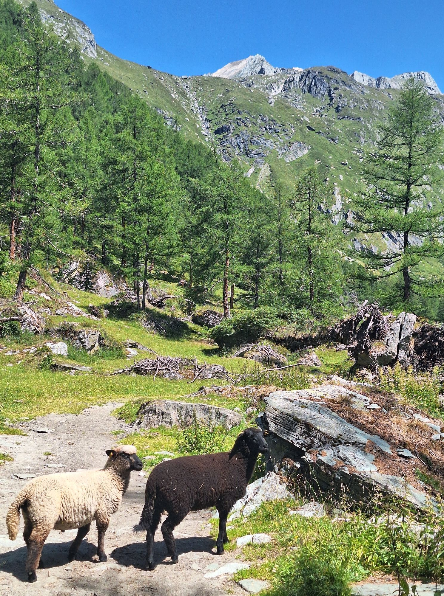
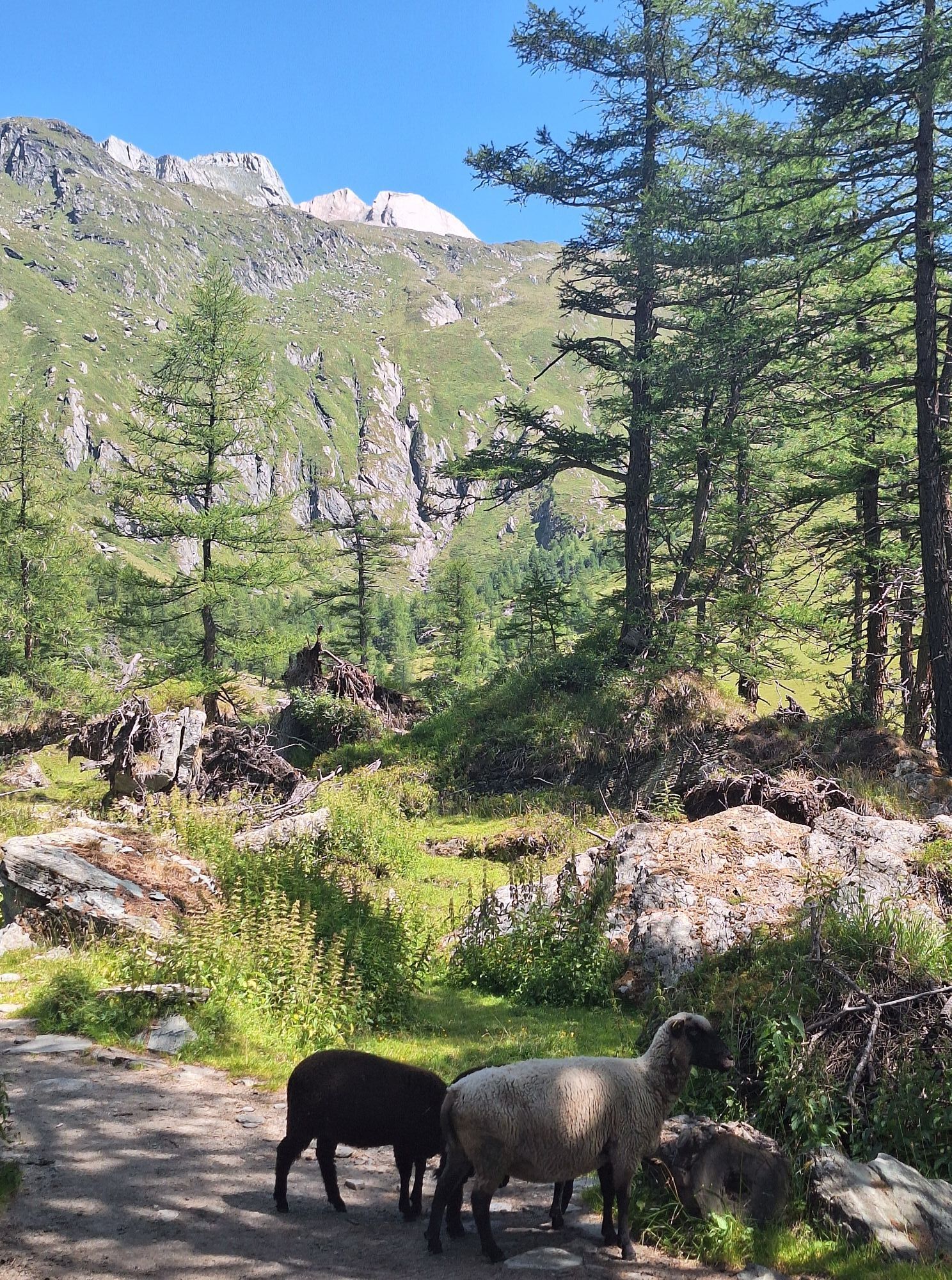
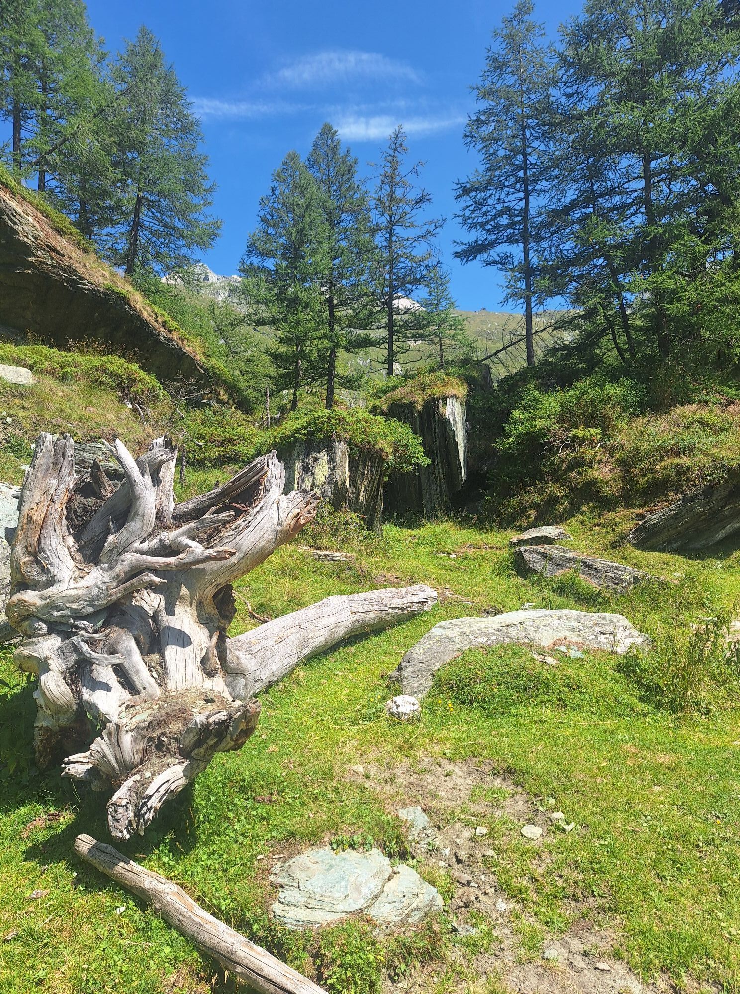
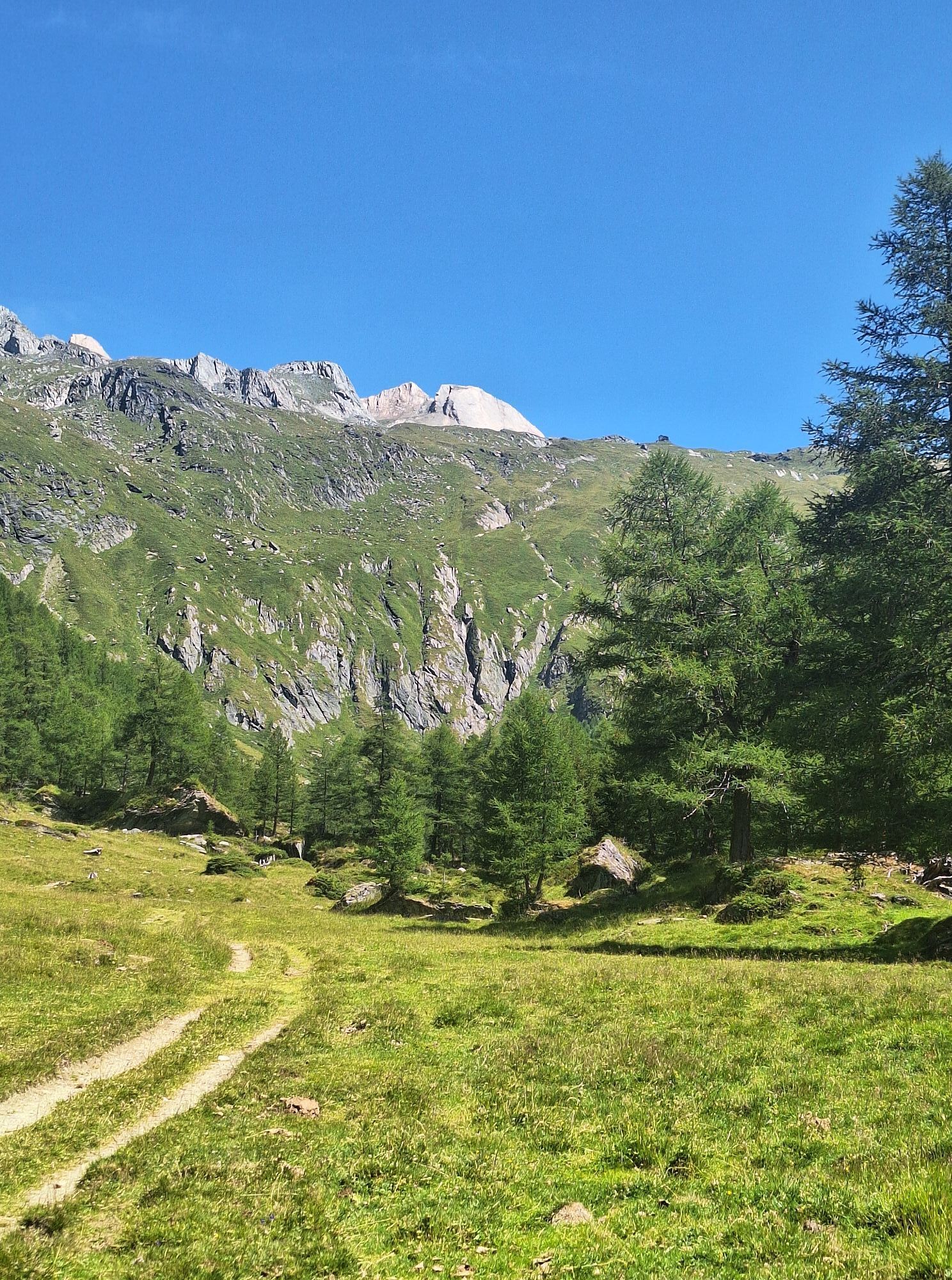
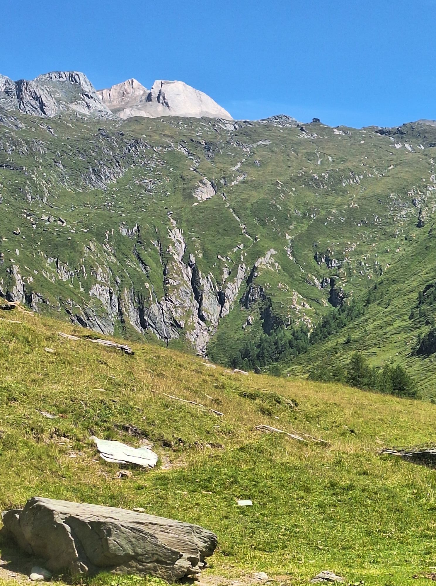
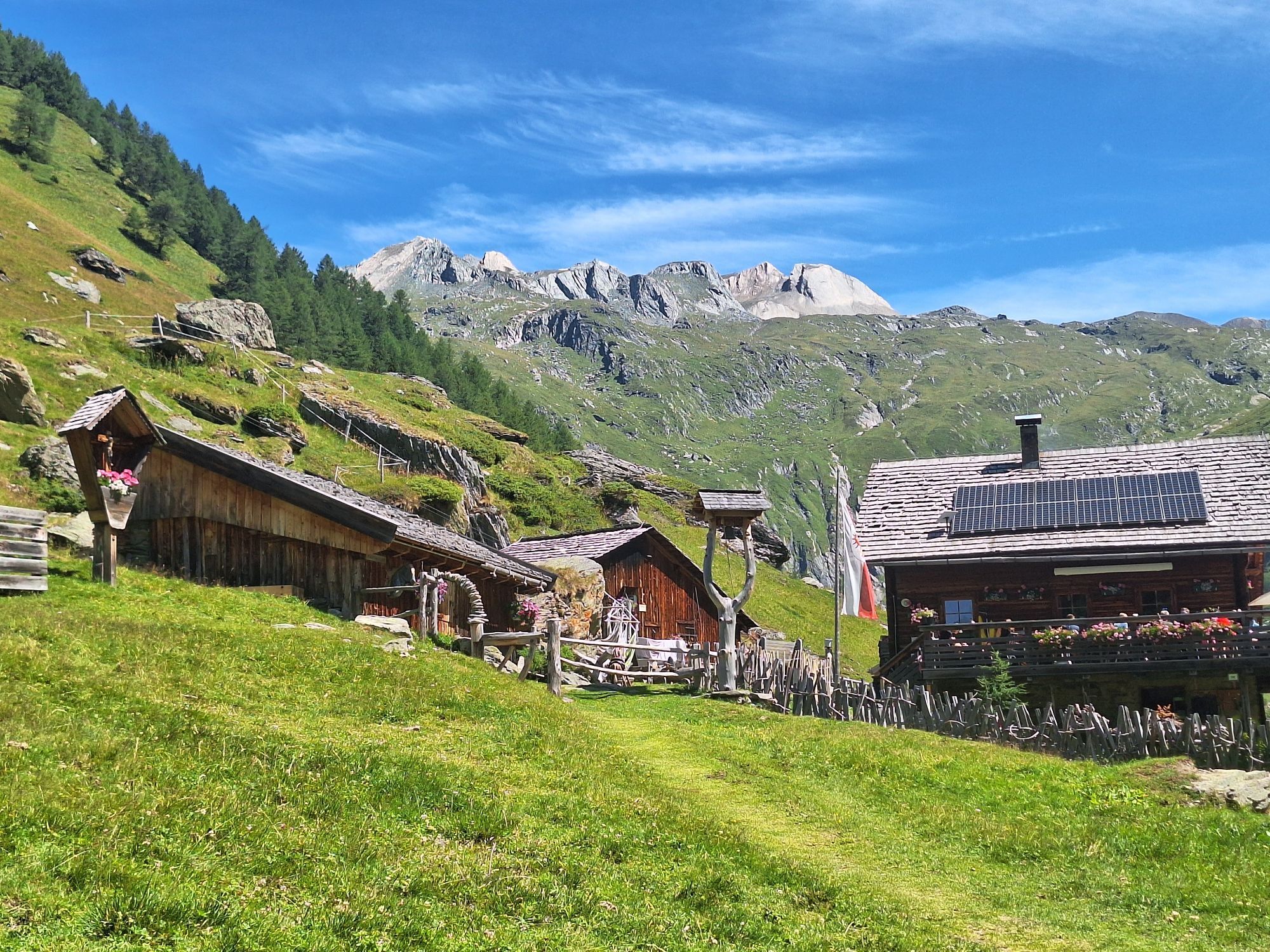
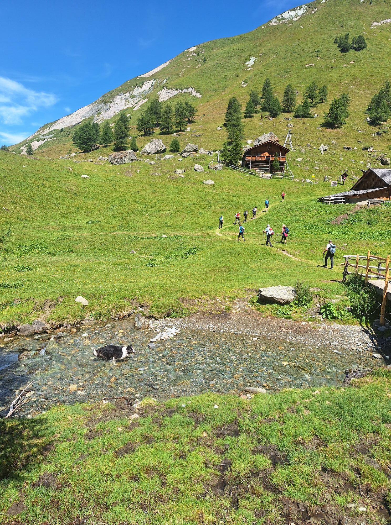
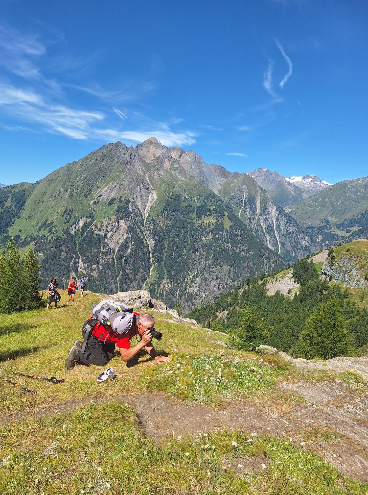
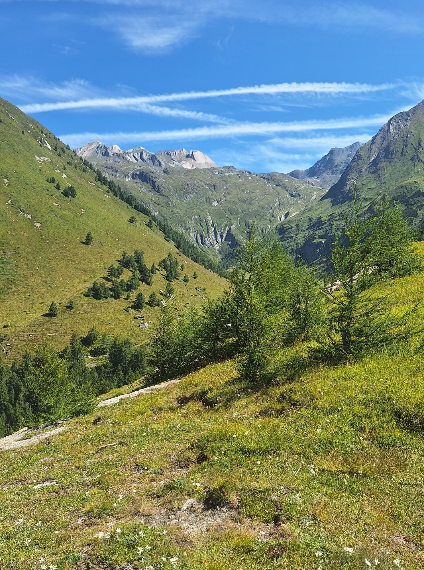
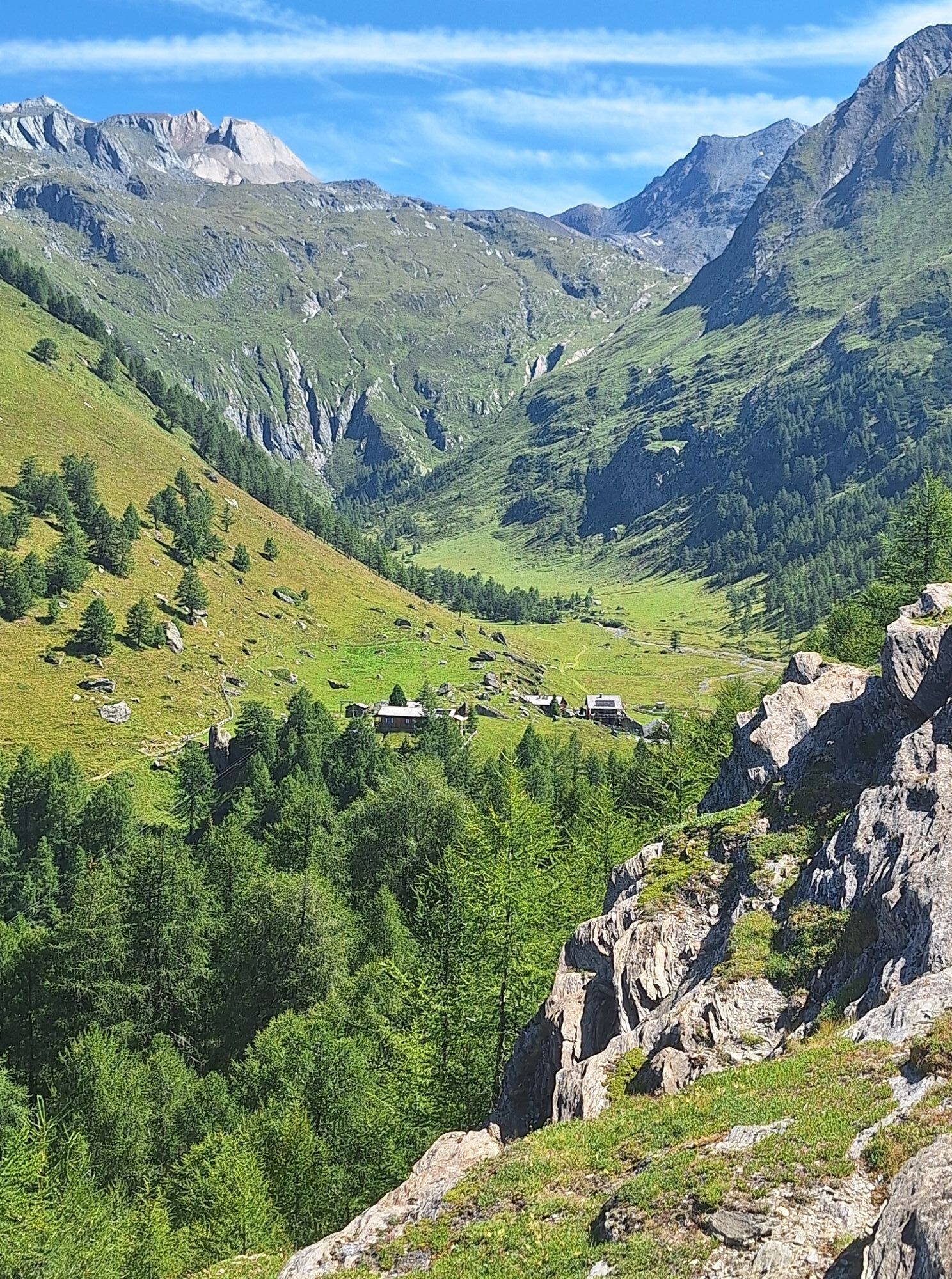
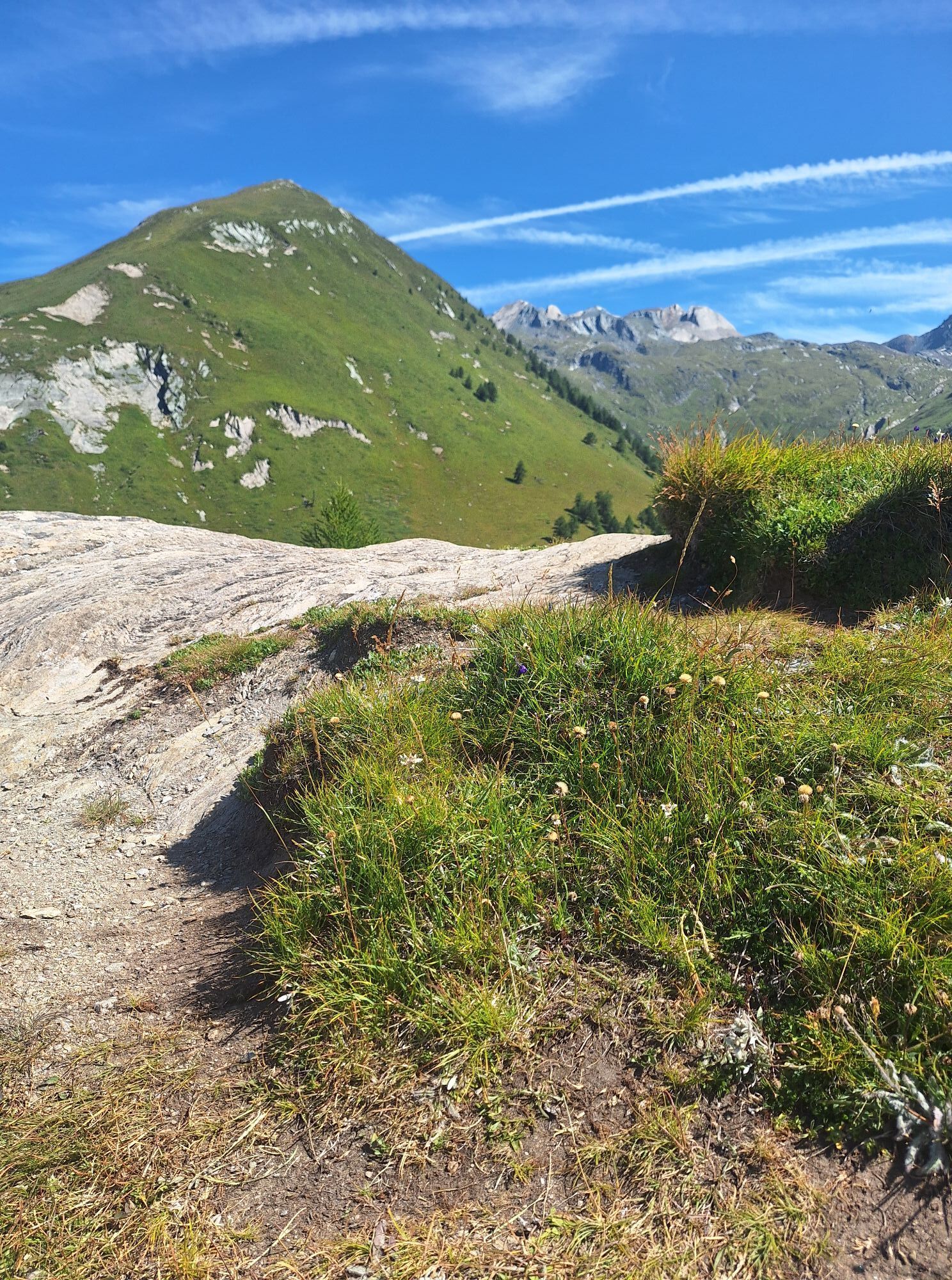
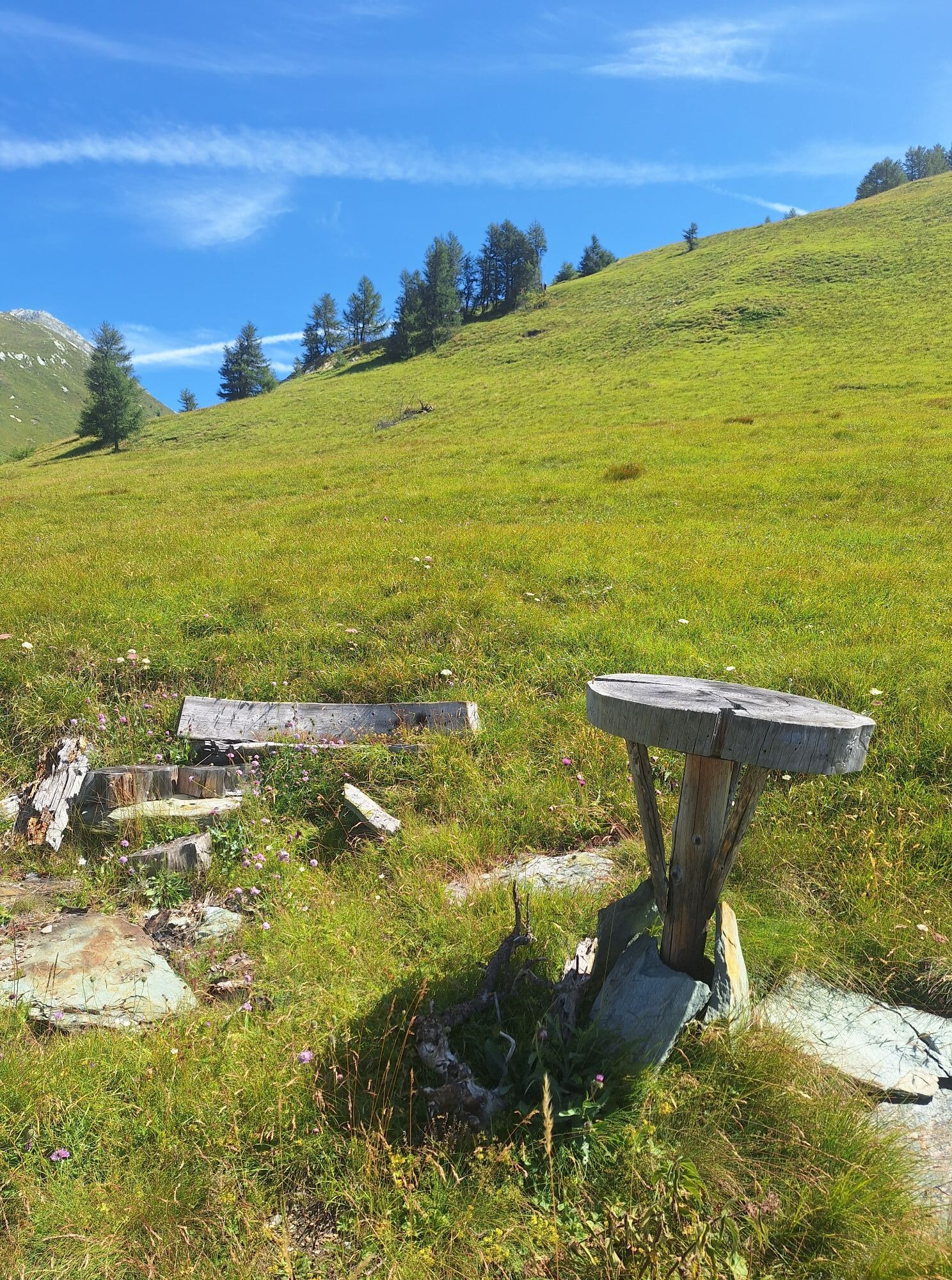
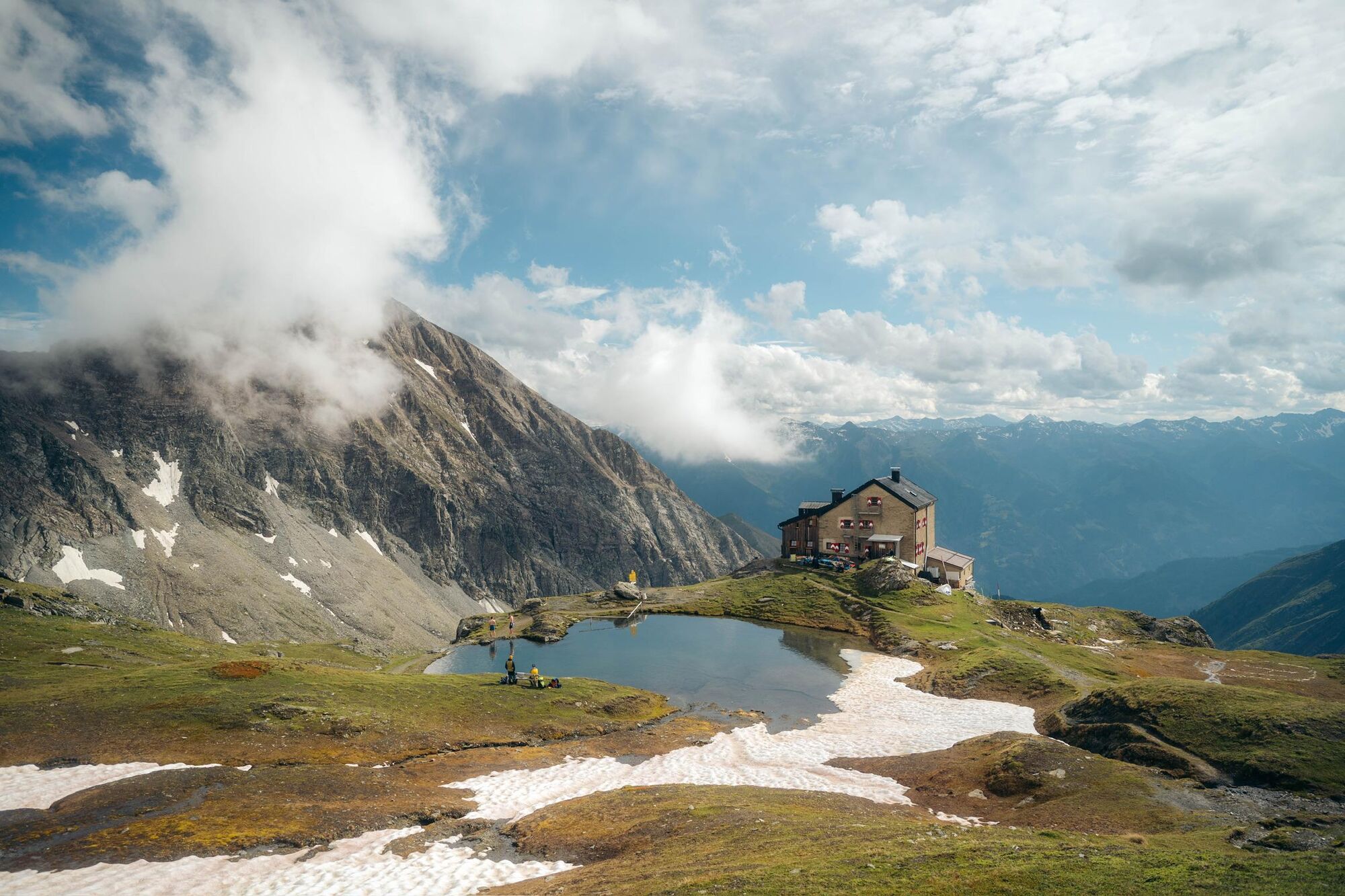
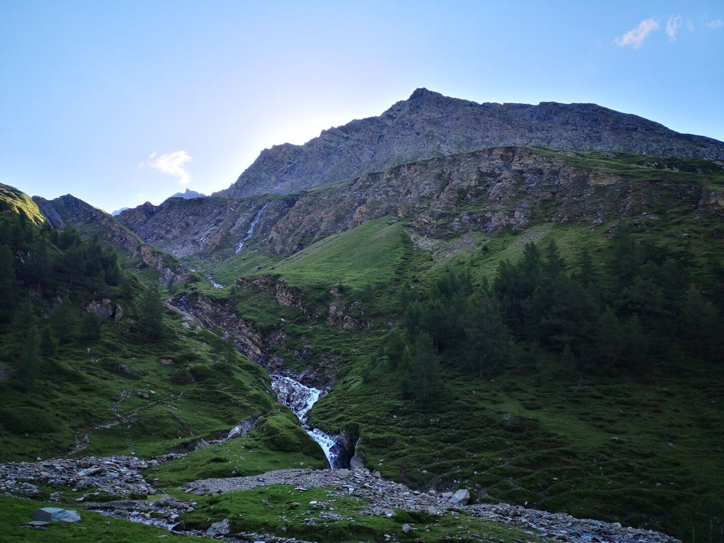
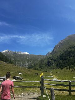
It is preferable to start this stage at the car park in the hamlet of Glanz, which then saves you a two hour walk. From Matrei i.O. it is a 20 minute drive to get there (taxi service available on request). All those of you who also want to tackle the first section of this route on foot, can get from Matrei via Hinterburg to the car park on a road which is not much used. From the car park in Glanz it takes 1 ½ to 2 hours to get to Äußere Steiner Alm and another 2 to 2 ½ hours to get to Sudetendeutschen Hütte. The trail proceeds for the most part through woodland which has ancient larch trees, pass Köfler-Almhütte (a private Alpine inn). In the area around the Ranzeralm you cross the road twice. Just above Lackner Almhütte a cart track begins which crosses a spring, before heading from east to west through pastures of Edelweiß. Anyone who does not want to hike through the woodland can also head from the car park in Glanz along the forest road at the start of the Edelweiß pastures. After a rocky ledge the path, which has handrails, descends into a light larch forest. Cross Steinerbach and get to the Alpine lodges in Äußere Steiner Alm (1914 metres), from Äußere Steiner Alm proceed in the flat floor of the Trogtal north-east, heading for the head of the valley. Little larch groves and mighty green schist boulders characterise this romantic route section. At the end of the valley head a goods cable car proceeds to Sudetendeutschen Hütte, in days past iron ore mining sites were located here, which is why this nook in the valley is described as the ‘Schmelzhütte’ (smelting lodge). The path to Sudetendeutschen Hütte proceeds uphill initially close to the Steinerbach, winding in hairpin bends up across sloping meadows, where you have the Nussingkogel to the left and the Bretterwandspitze to the right. Finally the terrain becomes somewhat flatter with its summits shaped by glaciers and in the nearby area you will find the spacious Sudetendeutschen Hütte (2650 metres), set in the midst of the Granatspitz group.

 Obtenez un aperçu
Toujours en direct avec plus de 9.500 webcams. En tant qu'utilisateur Pro, vous pouvez désormais voir les webcams correspondantes à de nombreuses randonnées dans l'application de randonnées de bergfex. Vous pouvez ainsi voir directement les conditions actuelles.
Obtenez un aperçu
Toujours en direct avec plus de 9.500 webcams. En tant qu'utilisateur Pro, vous pouvez désormais voir les webcams correspondantes à de nombreuses randonnées dans l'application de randonnées de bergfex. Vous pouvez ainsi voir directement les conditions actuelles.

Parcours populaires à proximité
-
4,2
Gletscherlehrweg Innergschlöß
moyenRandonnée 9,36 km -
4,5
Circular hike Proßeggklamm
moyenRandonnée 8,41 km -
4,9
Figerhorn, 2743m, Lucknerhaus
moyenRandonnée 6,69 km -
4,8
Glockner
moyenRandonnée d'altitude 19 km -
4,8
Summit hike Rotenkogel 2,762m
difficileRandonnée 4,22 km -
4,8
Circular hike suspension bridge Isel Canyon via "Hohe Bank"
moyenRandonnée 8,11 km -
4,6
Vom Matreier Tauernhaus über die Felsenkapelle nach Innergschlöss
facileRandonnée 9,19 km -
4,4
Stüdlhütte -Großglockner
Randonnée 4,68 km -
4,7
1 Großglockner Normalweg von der Stüdlhütte (Tirol & Kärnten)
difficileRandonnée d'altitude 8,17 km -
4,3
Böses Weibele, 3119m, Lucknerhaus
difficileRandonnée 13,8 km
Randonnée et suivi


Ne manquez pas les offres et l'inspiration pour vos prochaines vacances
Votre adresse électronique a été ajouté à la liste de diffusion.





