






Adlerweg trail. Stage 4: Bonn-Matreier Hütte – Badener Hütte
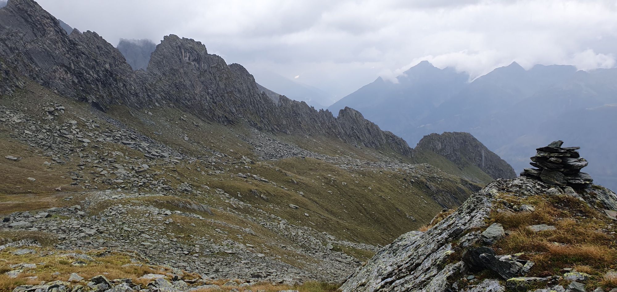
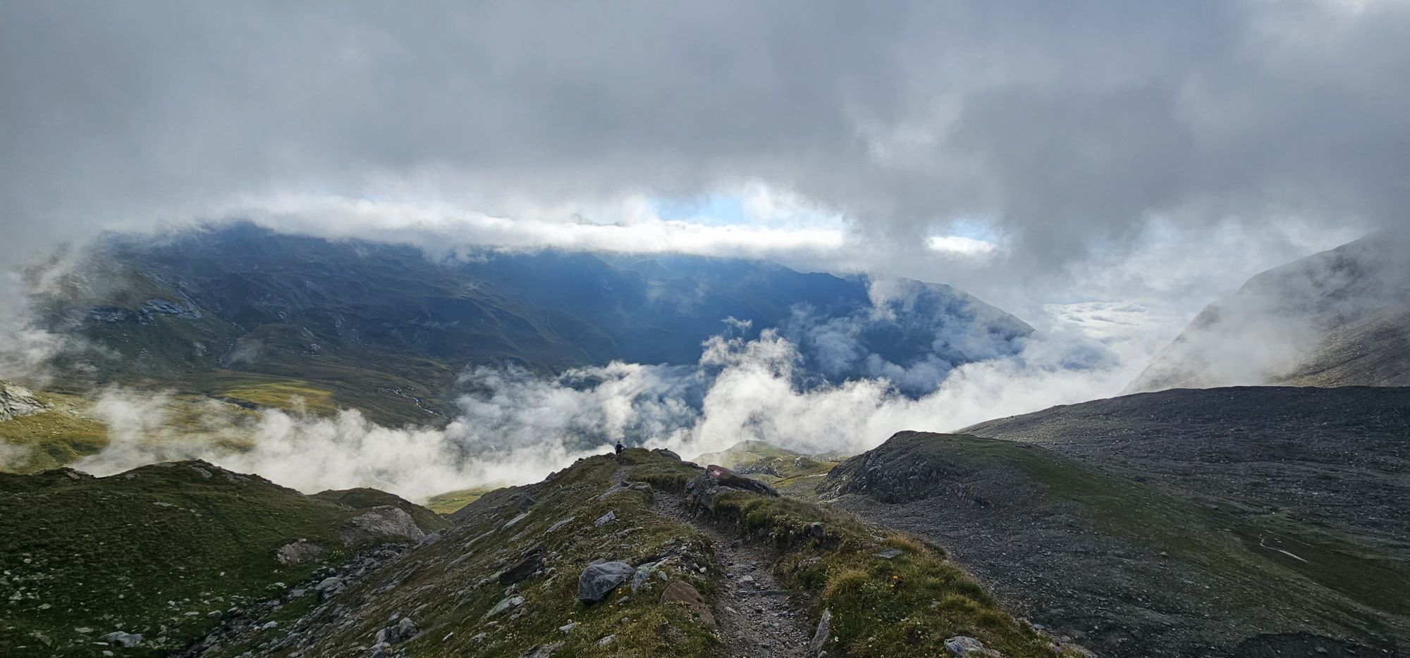
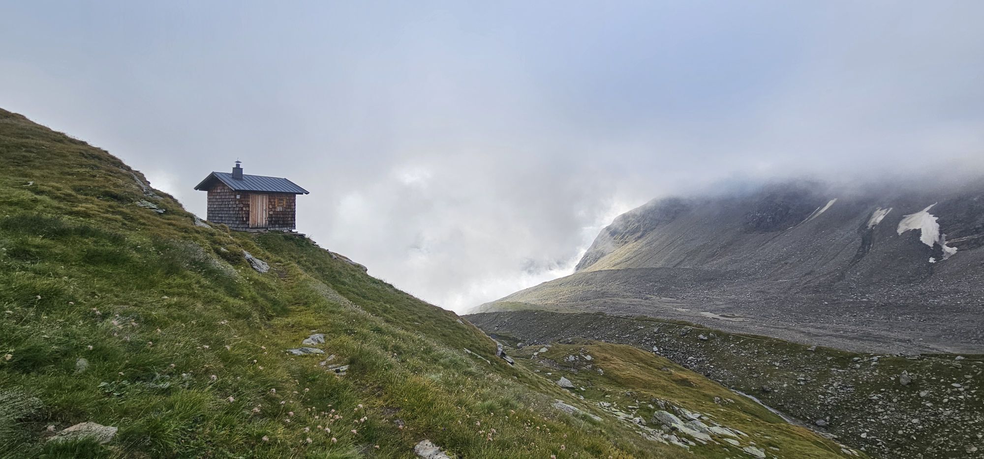
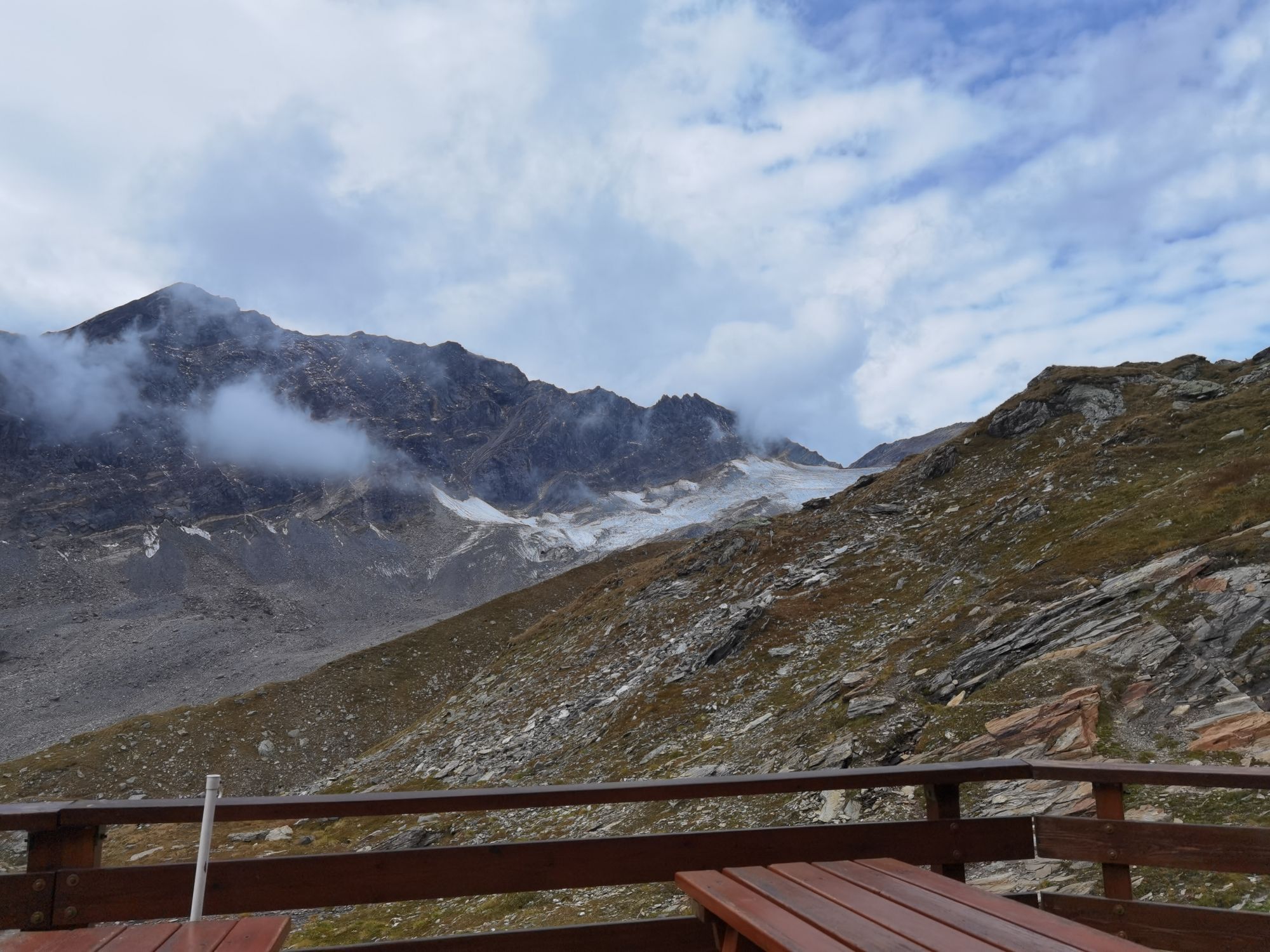
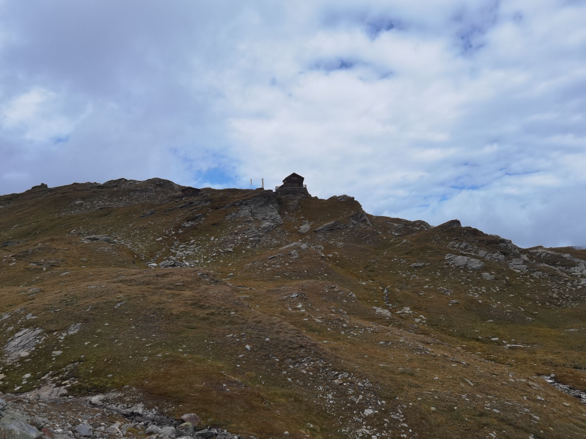
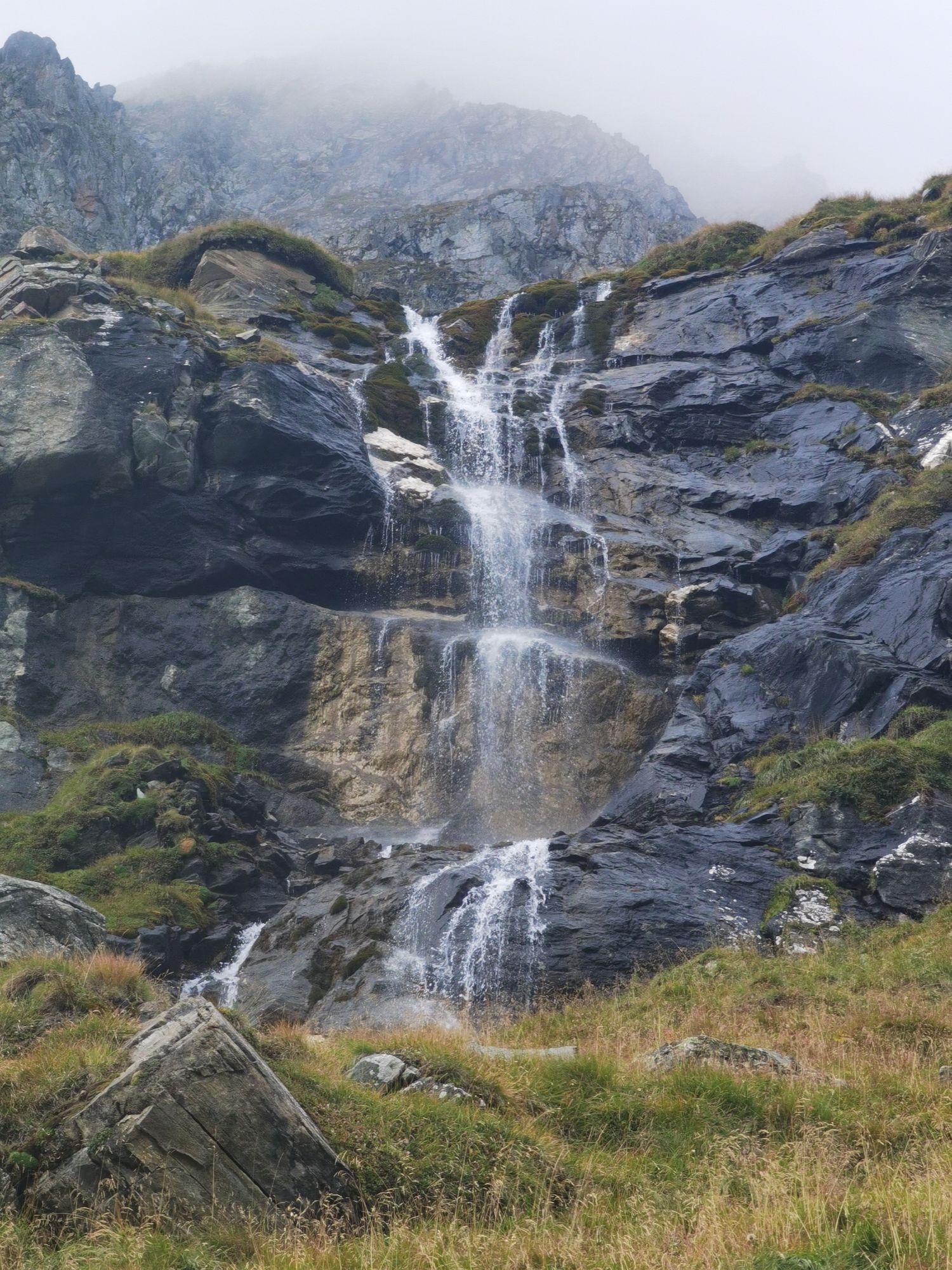
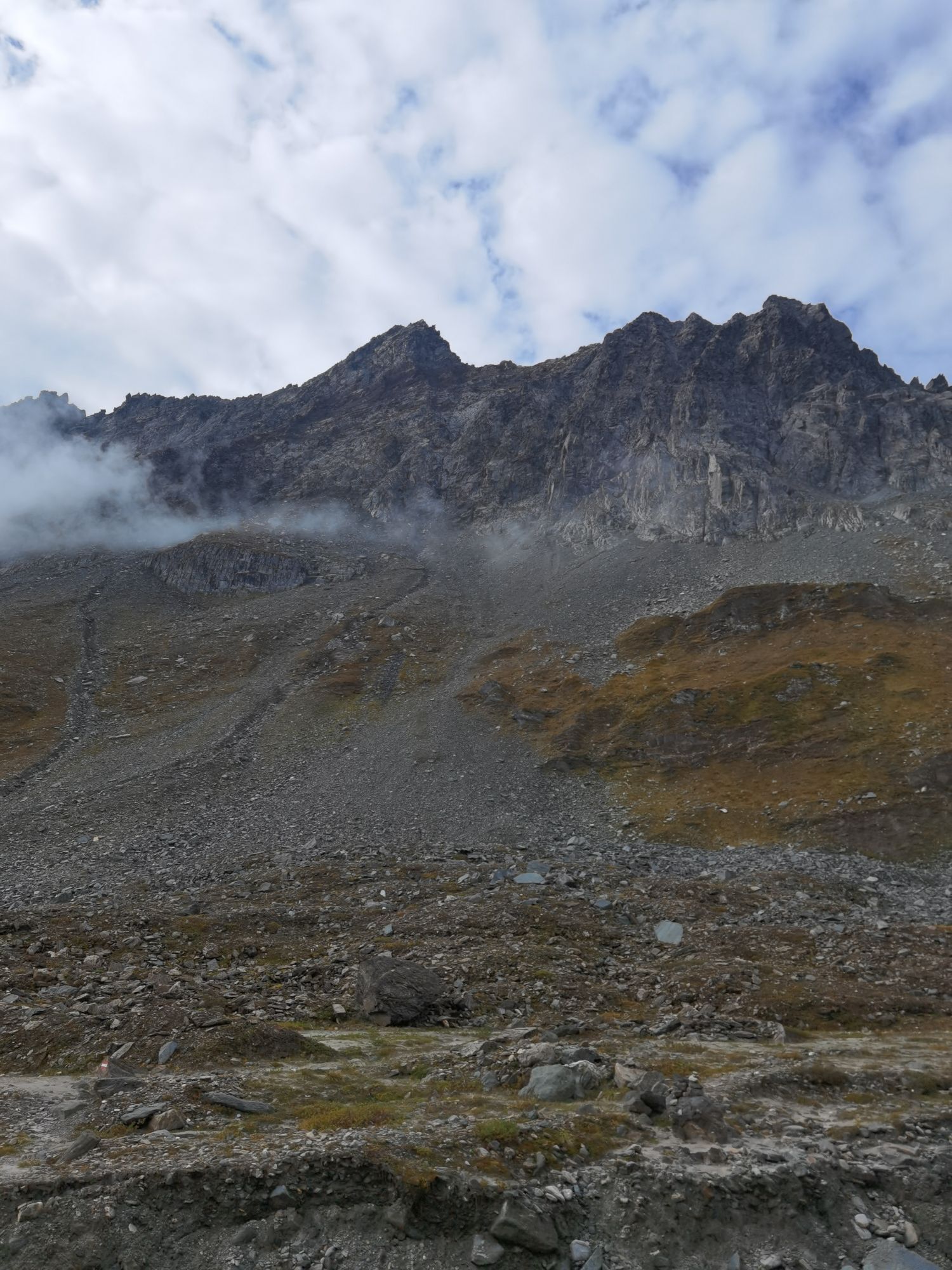
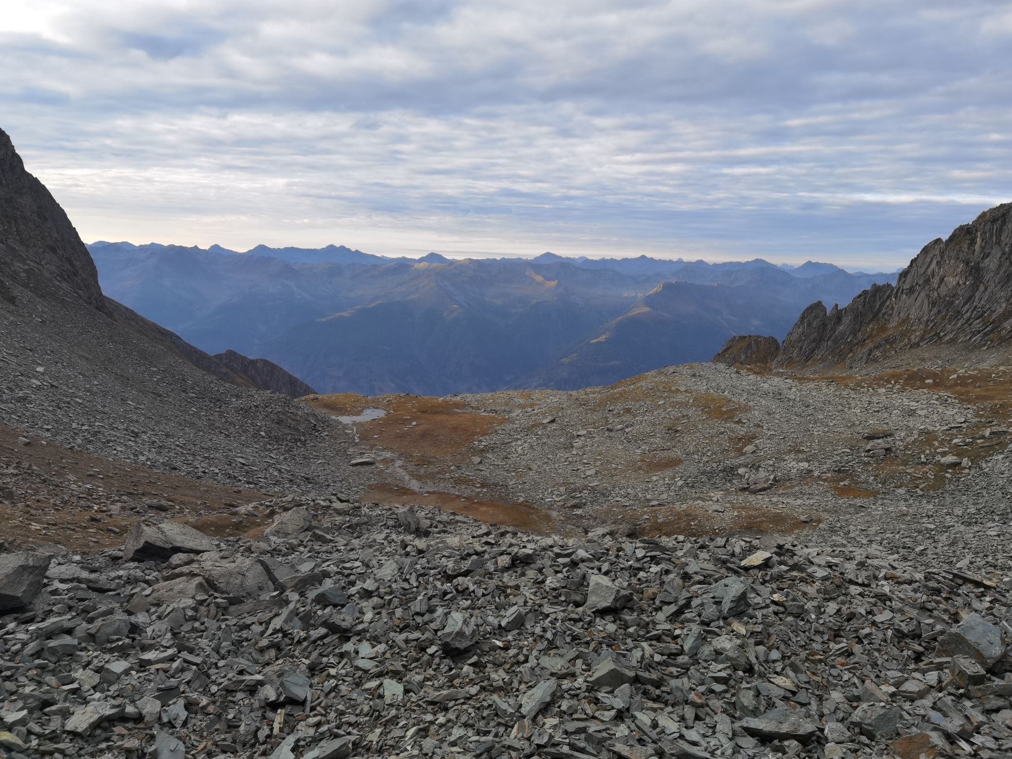
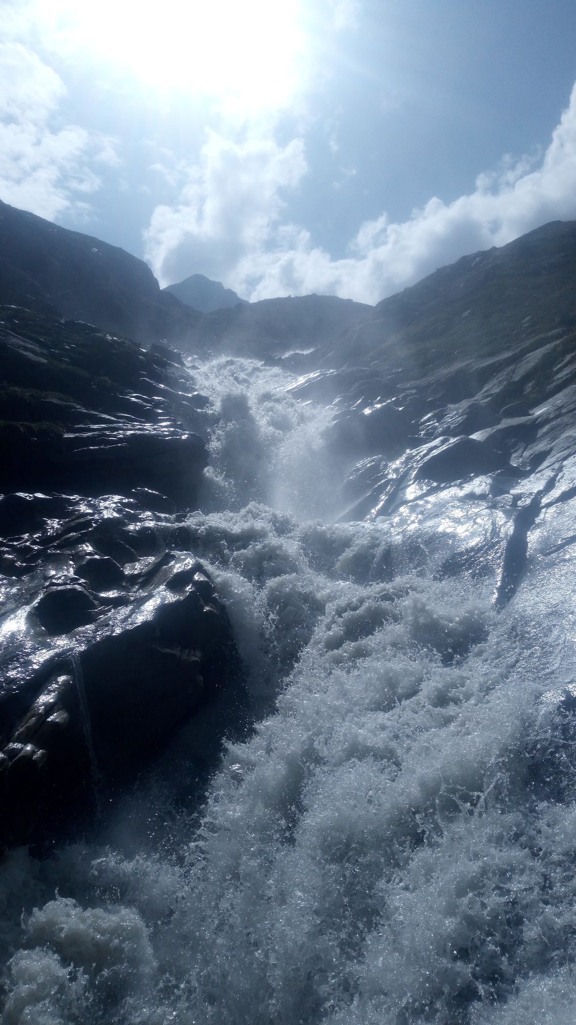
A section above Bonn-Matreier Hütte (around 8-10 minutes’ walk), at the signposts the route branches off to the right. Proceed across a stony mountain trough and finally get to the rugged buttes of the...
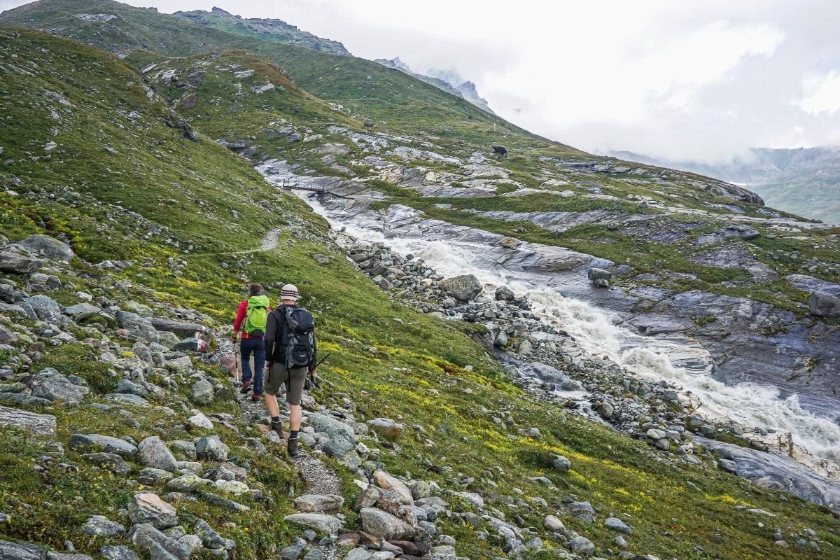
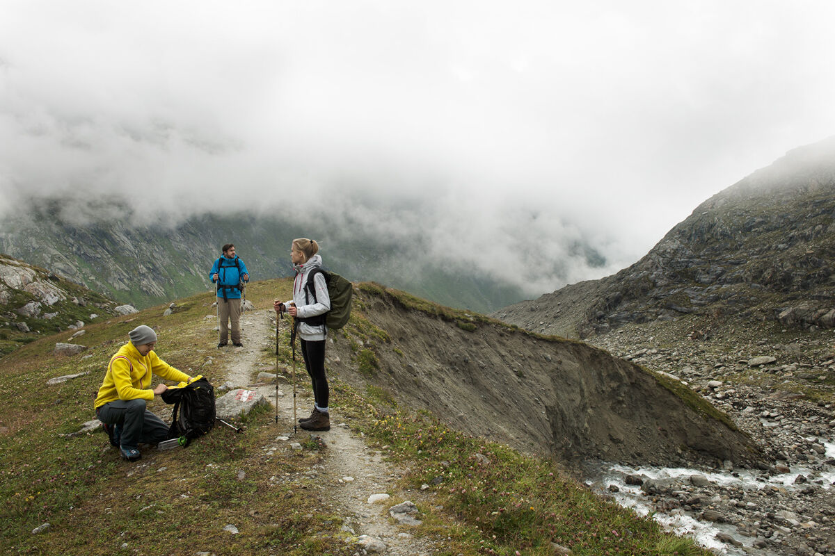
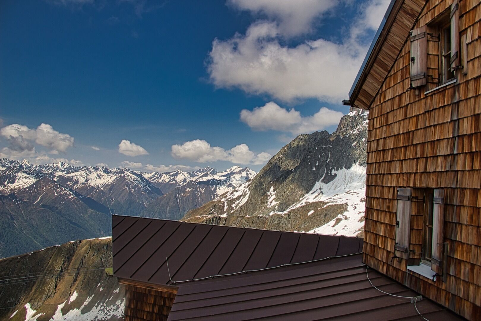
A section above Bonn-Matreier Hütte (around 8-10 minutes’ walk), at the signposts the route branches off to the right. Proceed across a stony mountain trough and finally get to the rugged buttes of the Kälberscharte (2791 metres). On both side of the wind gap a staircase and steel cables make the crossing into Kleine Niltal easier, which means you can even tackle the ascent to the higher Galtenscharte relatively problem-free. There is now a steep, challenging descent down to Mailfroßnitzbach, although you have to make up for this 600 metres altitude later on. The upper section of the route is secured with steel cables, in the middle section a tough, steep snow field is there to tackle, often in the summer too. With a bit of luck and if the route is free of snow, you can proceed right along the trail. Further down the terrain becomes flatter, the descent ends at the bridge across the Mailfroßnitzbach. About 40 metres below the bridge the trail continues. High above Froßnitztal you now cross the green slopes of the Hohe Achsel from south to north and pass a section of the route which is variety-packed in terms of the scenery it offers. Short sections are secured with steel cables, and you pass numerous little streams. On the so-called shoulder there is a tarn covered in grass and sealed up by a moraine. The Venediger altitude trail links up with the valley trail here. Continue to ‘Badener Hütte’, where you cross moraines which line up closely behind one another and finally the bridge on the Froßnitzbach. There are a few ridges and troughs providing protection for the snow grouse. You eventually get to the lateral moraines of the Frosnitzkees, bear right here and continue hiking until you reach the destination for this hike, Badener Hütte (2608 metres) on the Großvenediger.

 Obtenez un aperçu
Toujours en direct avec plus de 9.500 webcams. En tant qu'utilisateur Pro, vous pouvez désormais voir les webcams correspondantes à de nombreuses randonnées dans l'application de randonnées de bergfex. Vous pouvez ainsi voir directement les conditions actuelles.
Obtenez un aperçu
Toujours en direct avec plus de 9.500 webcams. En tant qu'utilisateur Pro, vous pouvez désormais voir les webcams correspondantes à de nombreuses randonnées dans l'application de randonnées de bergfex. Vous pouvez ainsi voir directement les conditions actuelles.
Activités le long du parcours


Parcours populaires à proximité
-
4,8
NaturKraftWeg Umbalfälle
facileChemin thématique 5,99 km -
4,2
Gletscherlehrweg Innergschlöß
moyenRandonnée 9,36 km -
4,5
Circular hike Proßeggklamm
moyenRandonnée 8,41 km -
3,9
Mittersill - Hintersee und Plattachsee
difficileRandonnée 9,90 km -
4,8
Summit hike Rotenkogel 2,762m
difficileRandonnée 4,22 km -
4,6
Vom Matreier Tauernhaus über die Felsenkapelle nach Innergschlöss
facileRandonnée 9,19 km -
4,8
Circular hike suspension bridge Isel Canyon via "Hohe Bank"
moyenRandonnée 8,11 km -
4,8
Stoden - Clarahütte
moyenRandonnée 7,12 km -
4,2
Habachtal bis zur Thüringer Hütte
Randonnée 6,53 km -
4,8
Runde um den Weißsee - Gletscherlehrpfad Uttendorf, Österreich
moyenRandonnée 6,48 km
Randonnée et suivi


Ne manquez pas les offres et l'inspiration pour vos prochaines vacances
Votre adresse électronique a été ajouté à la liste de diffusion.





